In early November 2014, both before and after visiting Machu Picchu, Jeanette and I did a great deal of hiking and exploring in the area, including hikes along the river behind my house, hikes into the lower part of Mount Pitusiray above my house, and a breathtaking trip across the tops of the Andes to the Hot Springs of Lares.
This photo blog contains 156 photos from those various activities.
As usual, the photos in this post are thumbnail images. Please click on any photo to enlarge it. The thumbnails leave much to be desired as far as colors and resolution – plus the thumbnails clip all of the edges. I use thumbnails for the post itself, because it gives people an opportunity to get a summary glimpse without downloading huge amounts of data for the high-res photos.
CLICK ON ANY PHOTO TO ENLARGE TO HIGH RESOLUTION
Mount Pitusiray
The main part of Calca (where I live) is stated by Wikipedia as being 2928 meters above sea level, or 9606 feet above sea level. I am guessing that my house is a few hundred feet higher than that, since I am part way up the canyon from the main portion of Calca — so my own magical playground is just under 10,000 feet in altitude.
Towering above my back yard is Mount Pitusiray, which according to Wikipedia is 5800 meters above sea level, or 19,028 feet above sea level. The only thing that stands between me and this beautiful mountain is a few farms on the lower slopes.
The local Quechua people refer to these majestic mountains as Apus, which literally translated means “mountain spirits”. Pitusiray is one of the more prominent Apus in the area, rising more than 9000 feet above my back yard.
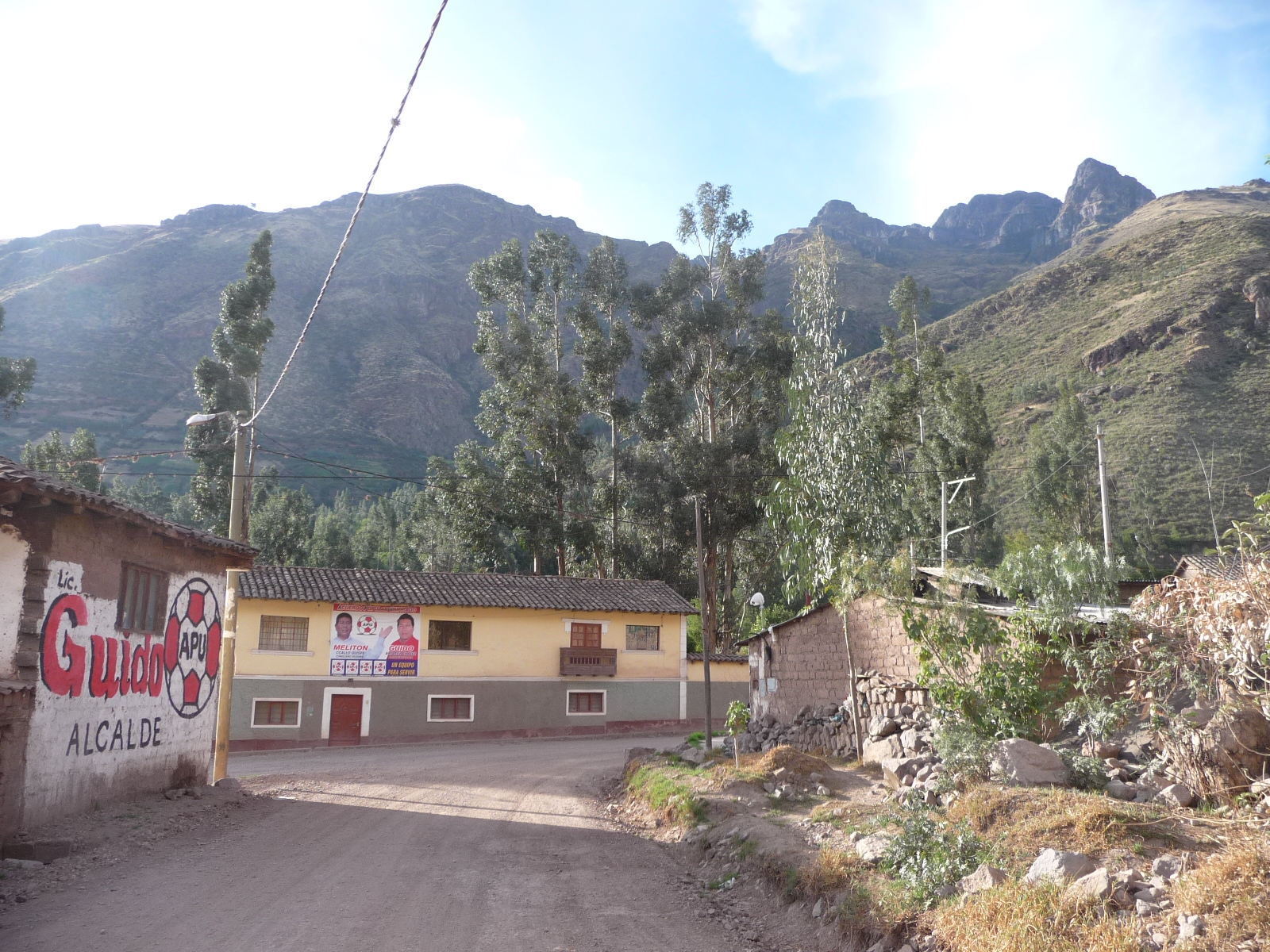
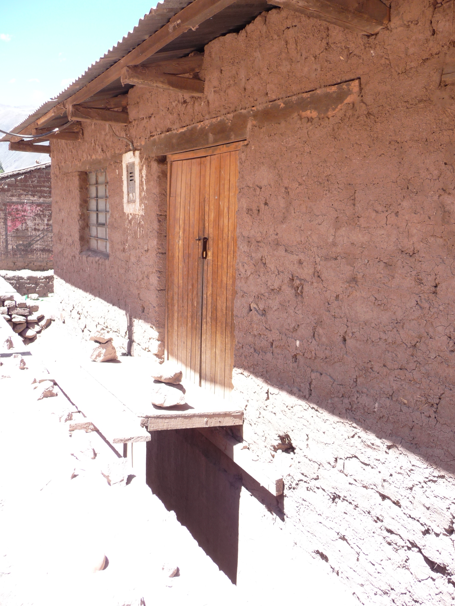
The building directly at the end of this dirt road is my home. I live on the bottom floor of this structure, and my landlord (Abelardo) lives upstairs for about half of the year (he travels back and forth to Lima every couple of months).
There are three windows and a door on the bottom level. My bedroom window is the middle window. The mountain directly behind and above the house is Pitusiray.
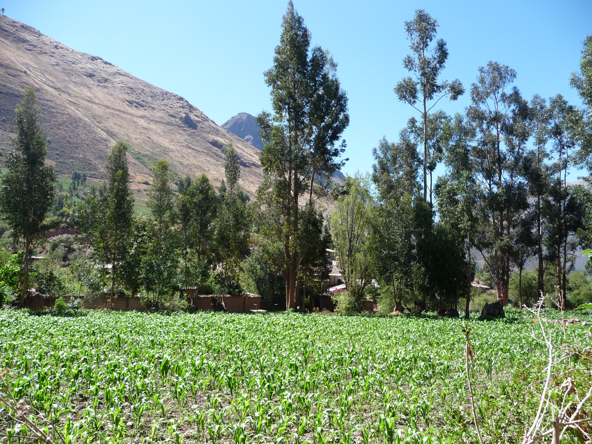
Similar photo … taken from a little further up the road, giving a more panoramic view of my house and the mountains behind. Those rugged peaks way up in the background are the ones that stretch above 19000 feet.
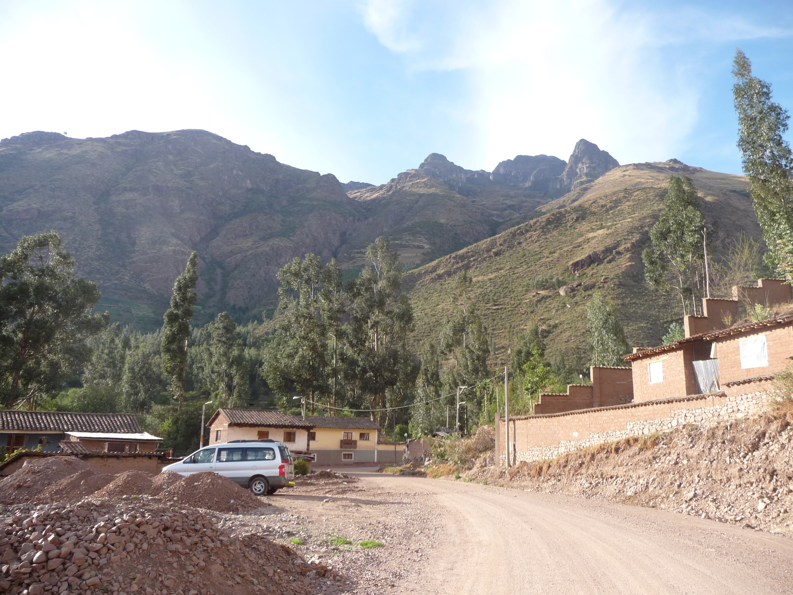
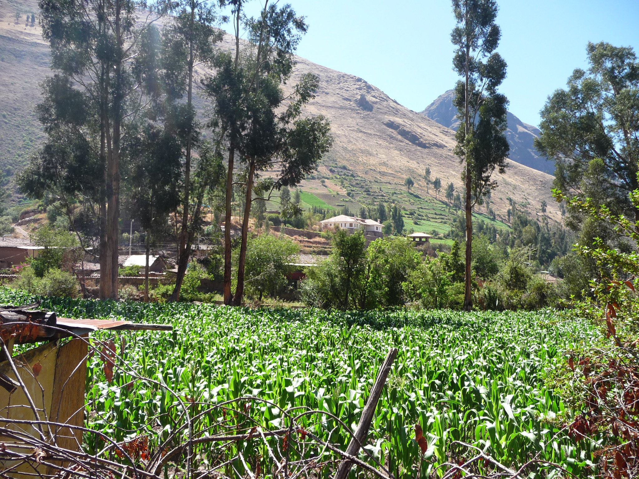
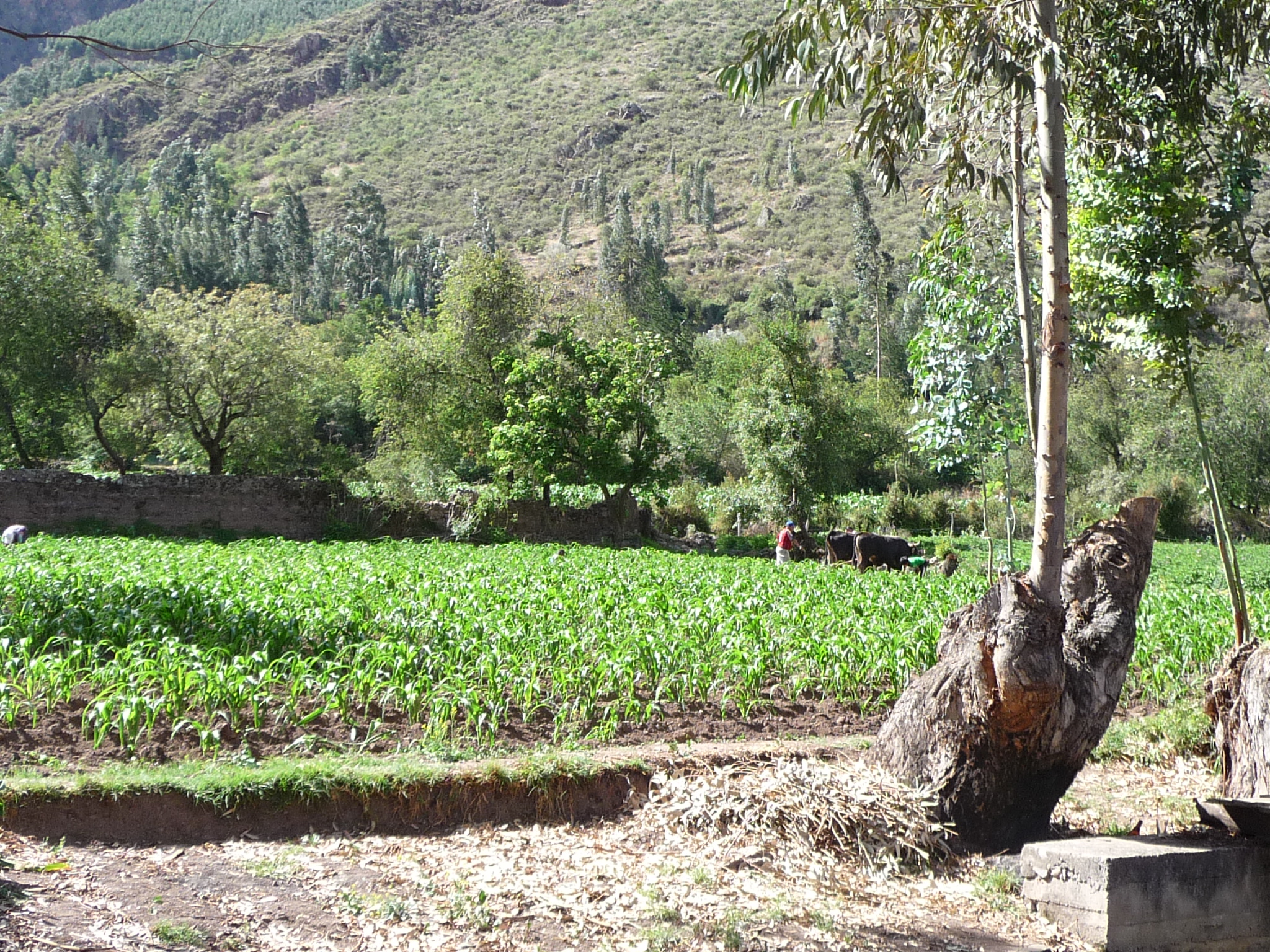
Again, further up the road away from my house. To my left are fields filled with “maize” or the local corn. The road I live on is a little canyon road that leads from Calca up toward the mountains. It is lined on both sides by houses, but behind the houses on both sides are farm fields.
The road I am walking on right now loops around those fields and leads down to the east side of Calca, where I often go to the market.
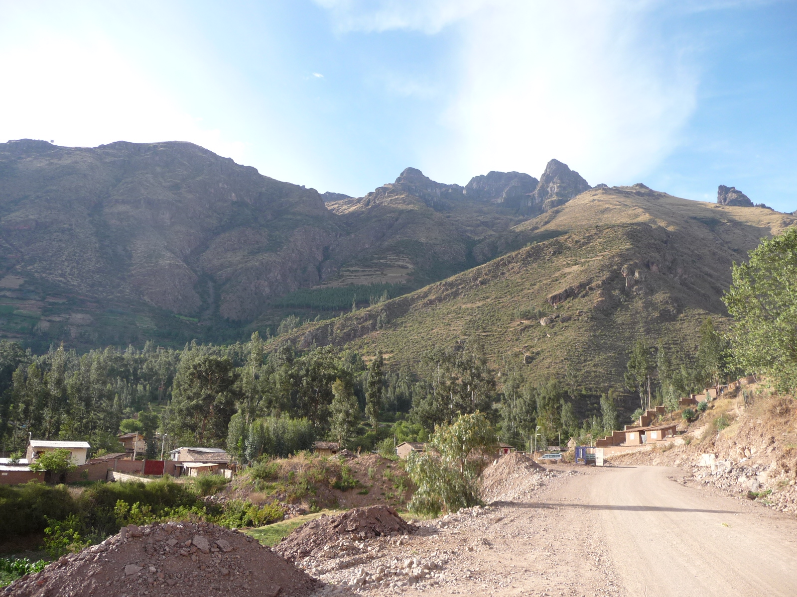
Standing in the same spot, I turn to look toward the southeast. Across the fields of young maize is the main town of Calca. That “blue dome” in the left-center background is an indoor sports arena.
You can see from this photo, that where I am is indeed several hundred feet higher than the main portion of Calca.
Hiking Along The River
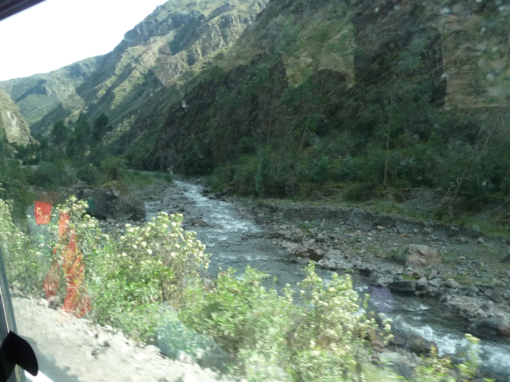
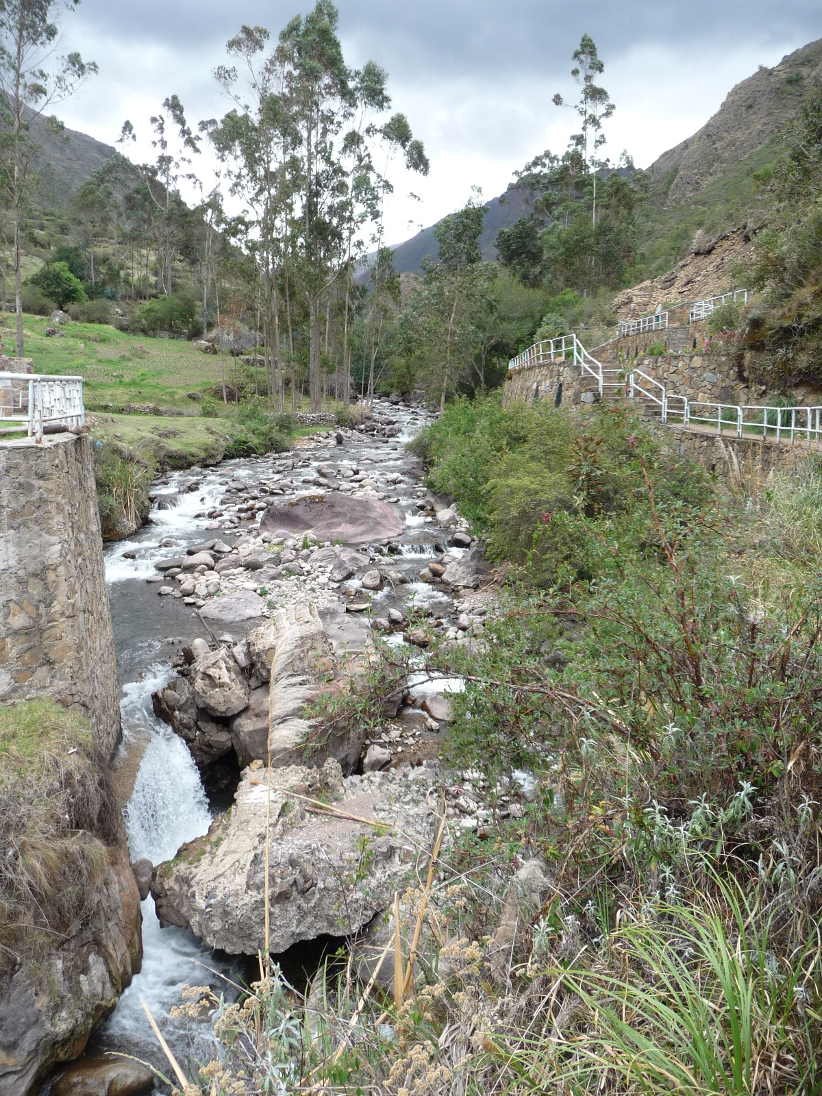
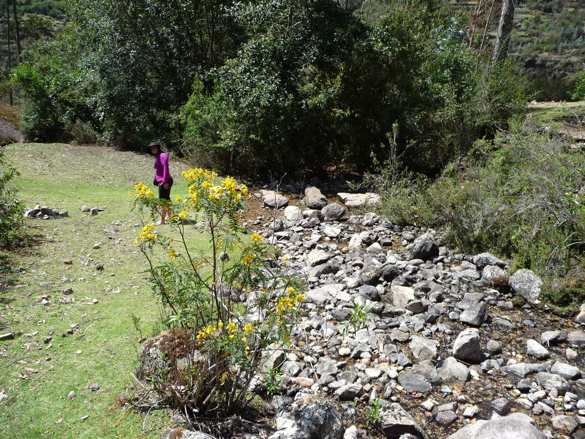
On November 8, 2014, Jeanette and I went for a hike along the river that forms the boundary to my back yard — only we went on the other side of the river.
I had hiked there before, but did not have my camera with me. I was eager to hike the trail again so that I could capture a few photos.
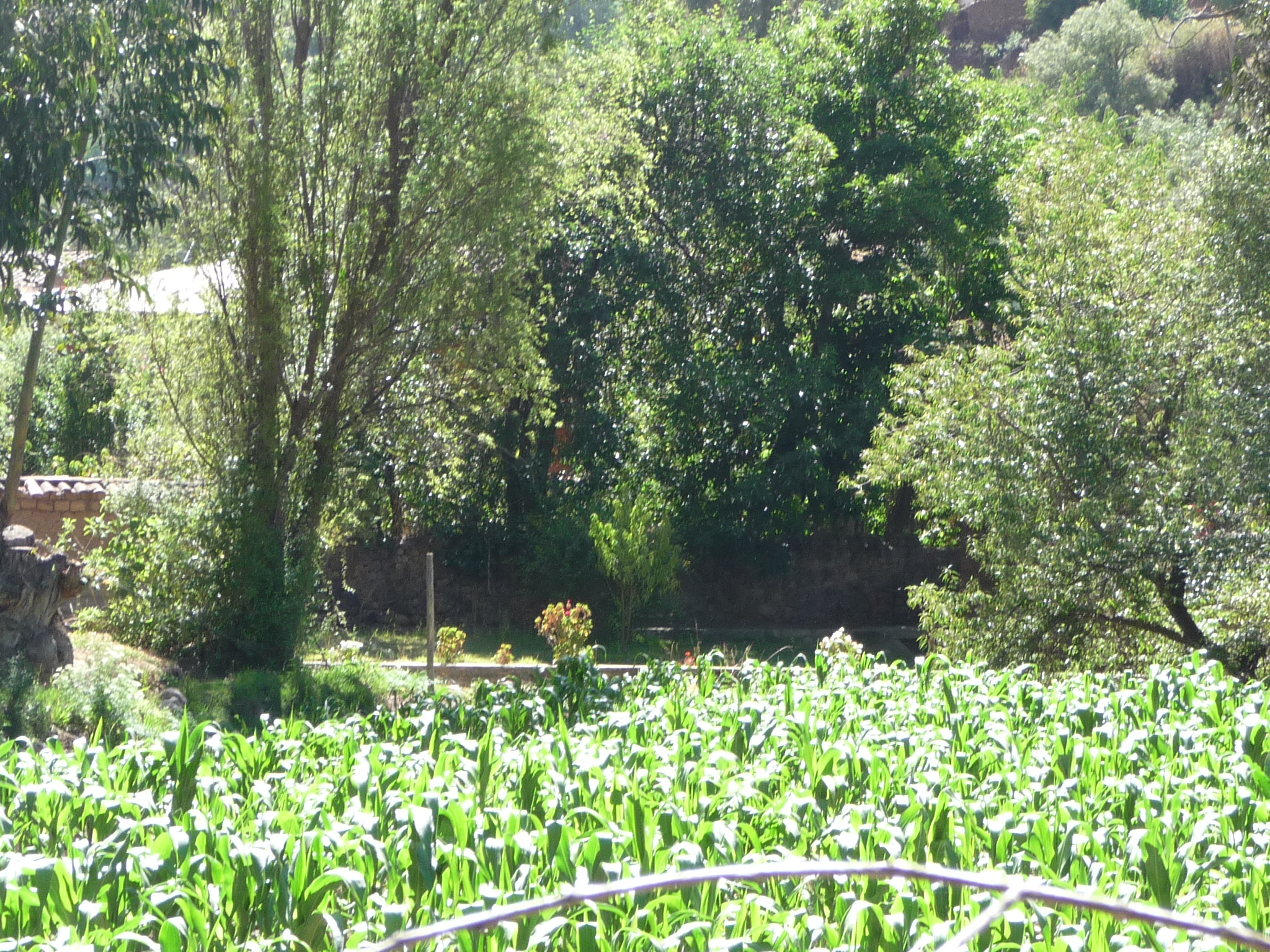
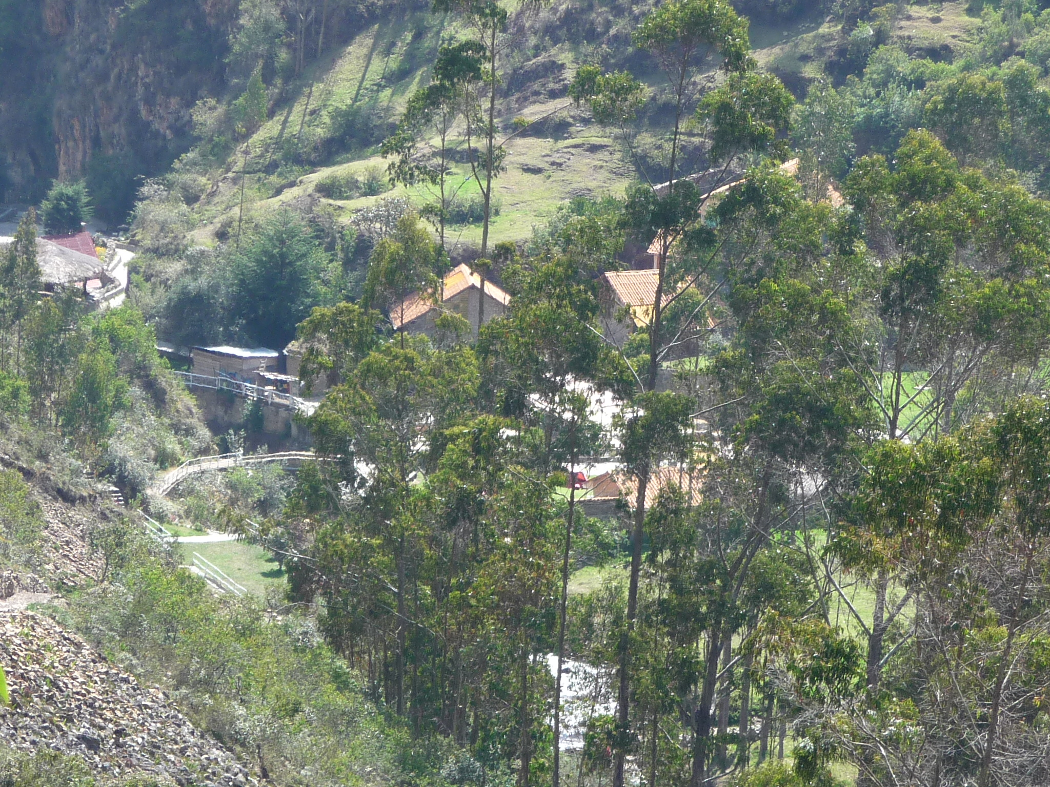
This is the corn field (maize field) directly across the river from my house. My house is hidden behind the trees in the very center of this photo.
It was right about here (in mid August) while I was taking my first hike on this side of the river, that my neighbor insisted I come into the field and visit with him and his family as they worked the corn field.
This zoomed-in photo (taken from the same spot) shows my “river playground” area on the far side of the river, right in the center of the photo.
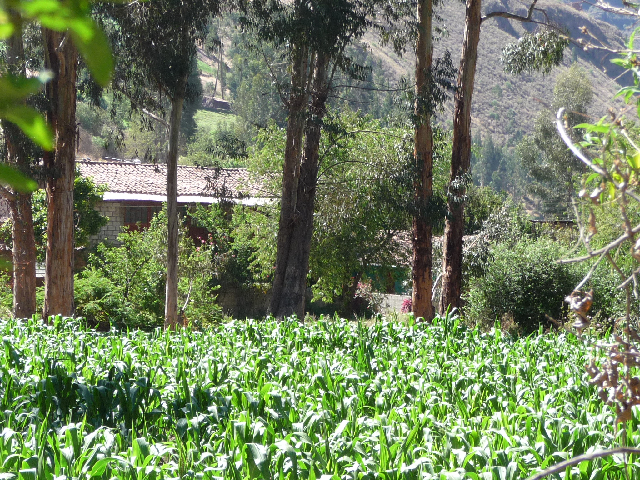
And in this zoomed-in photo, you can barely see the upper level of my house (left center) and my kitchen (blue-green paint, right of center, between the tall eucalyptus trees).
Looking back toward my house from a little further up the trail.
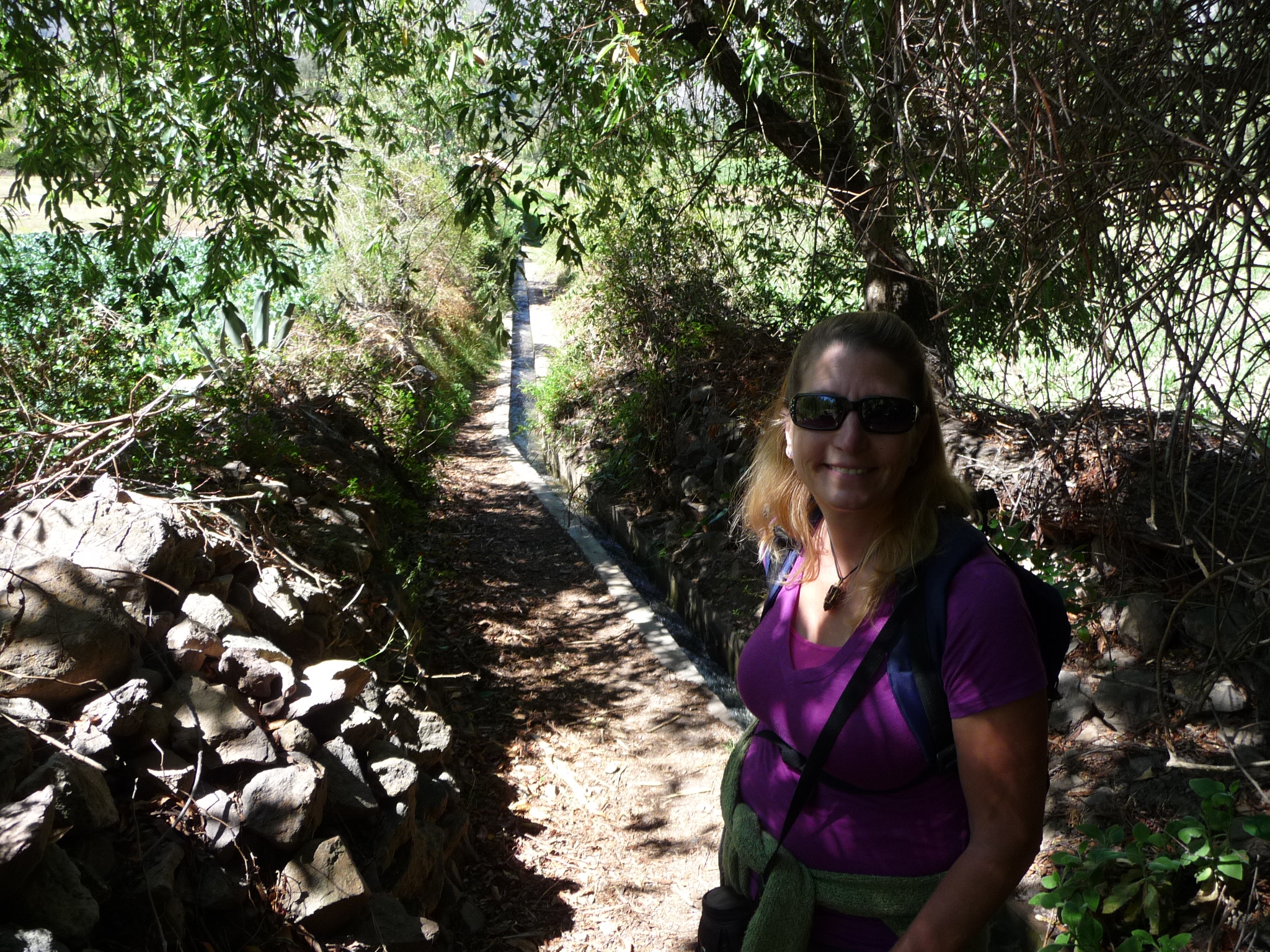
The trail here doubles as a path for a small irrigation ditch that splits off from the river further upstream. This is also a path that leads to peoples’ homes. There are several homes up here that have absolutely no road access.

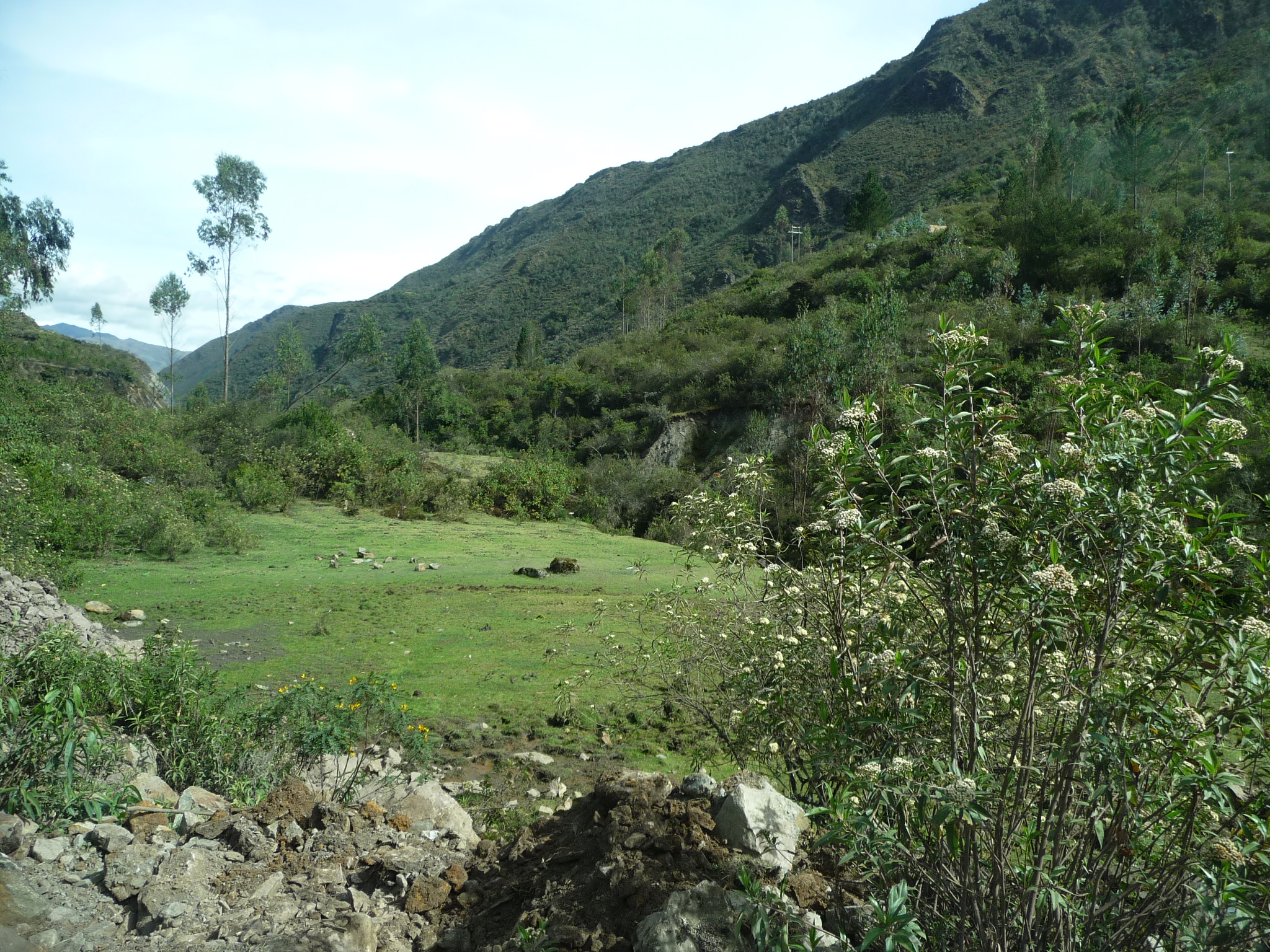
Fields further up the trail.
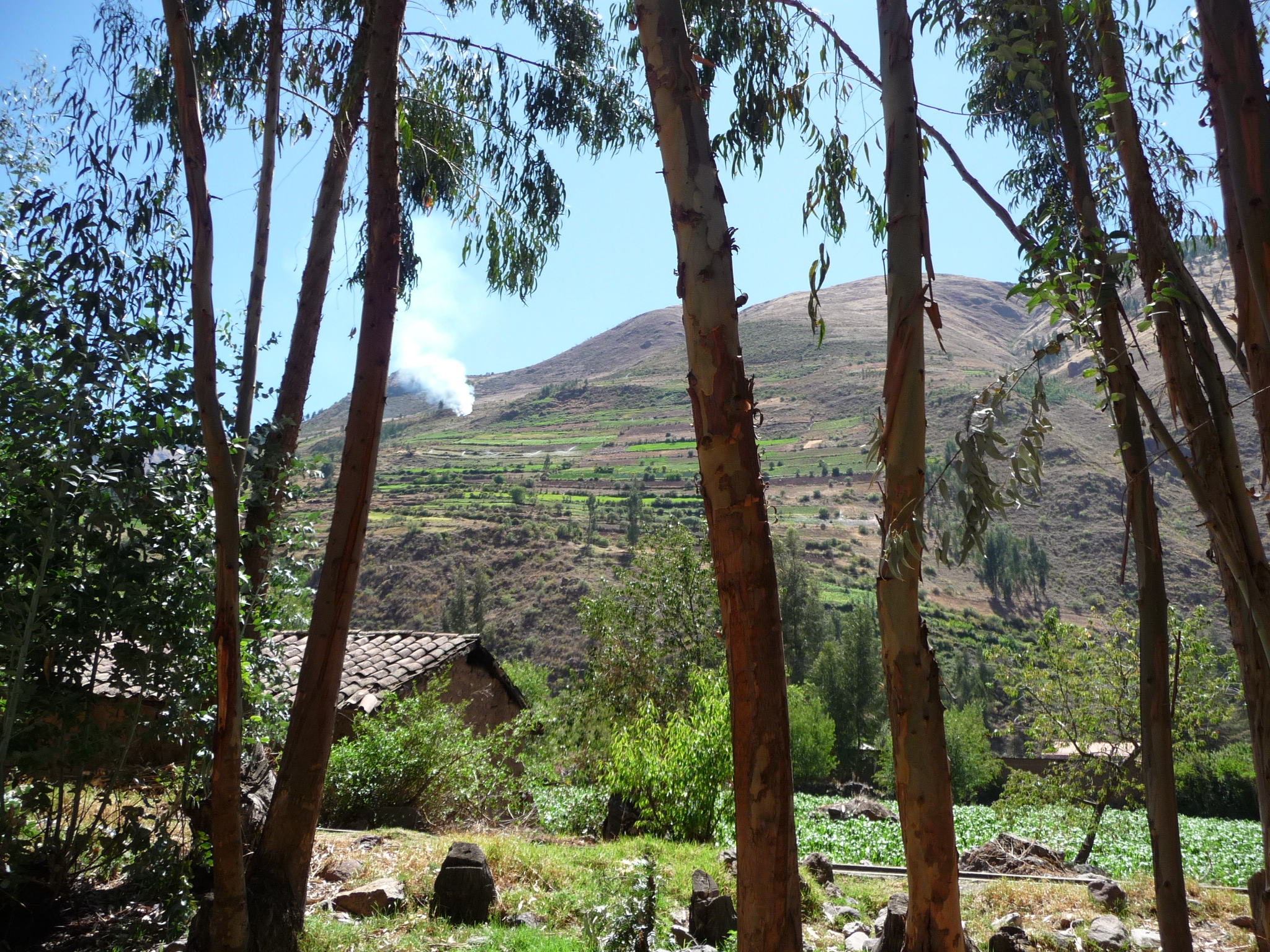
Looking at the mountains to the east. A small fire burns up near the ridge.
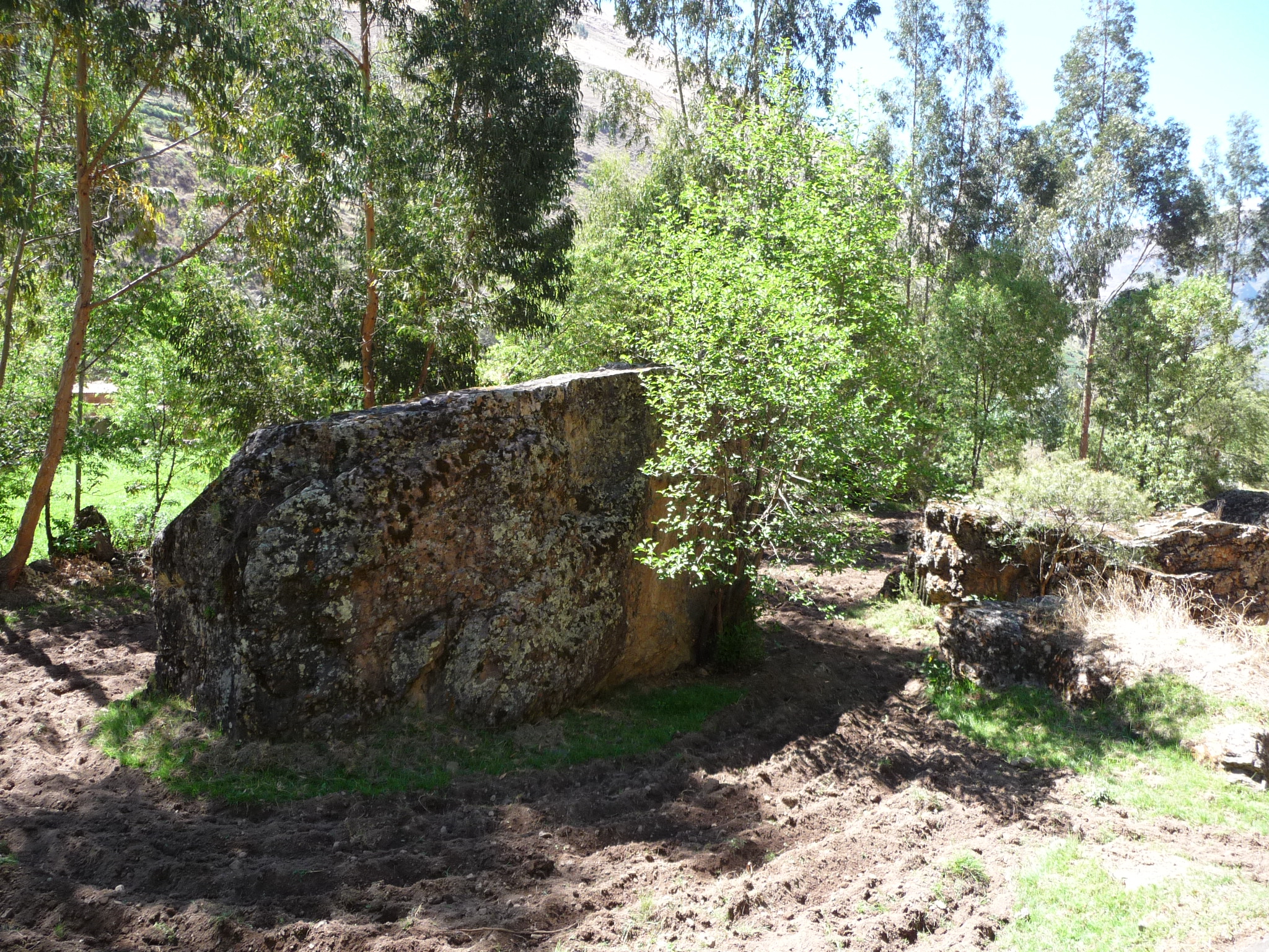
A huge rock right in the middle of someone’s freshly plowed field.
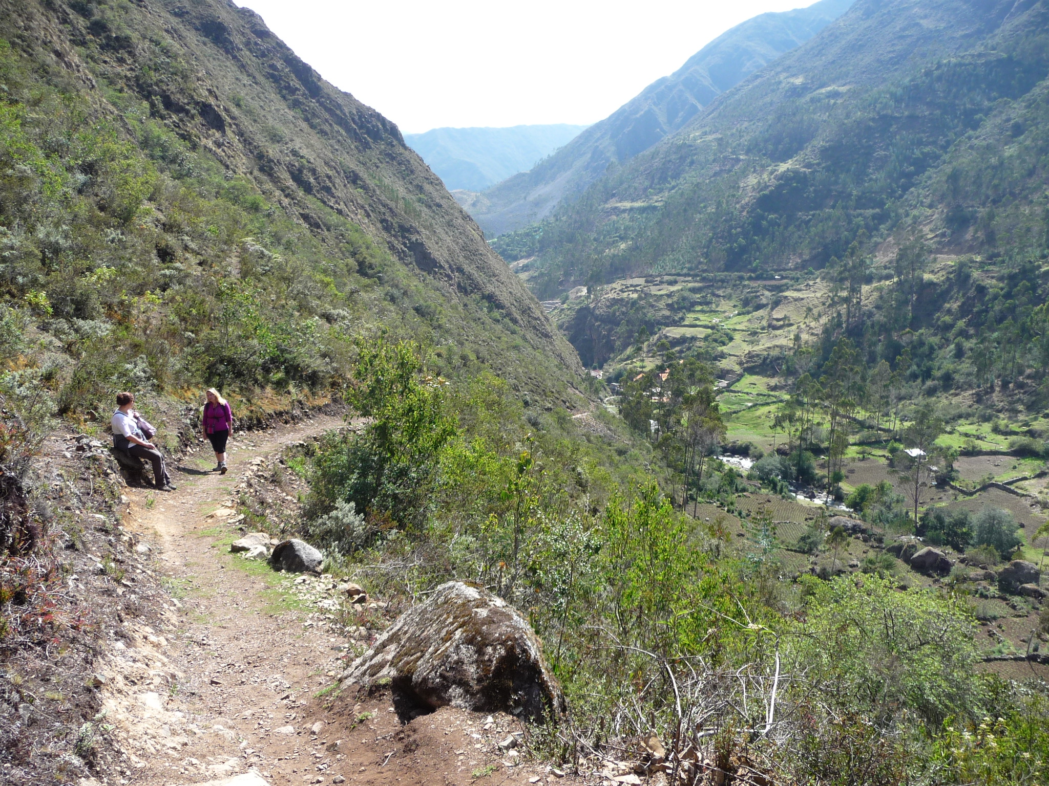
Looking across the valley at some homes that line the main road that leads further up the canyon. This road eventually climbs way up over the tops of the Andes. Jeanette and I will experience this road first hand in just a few days…
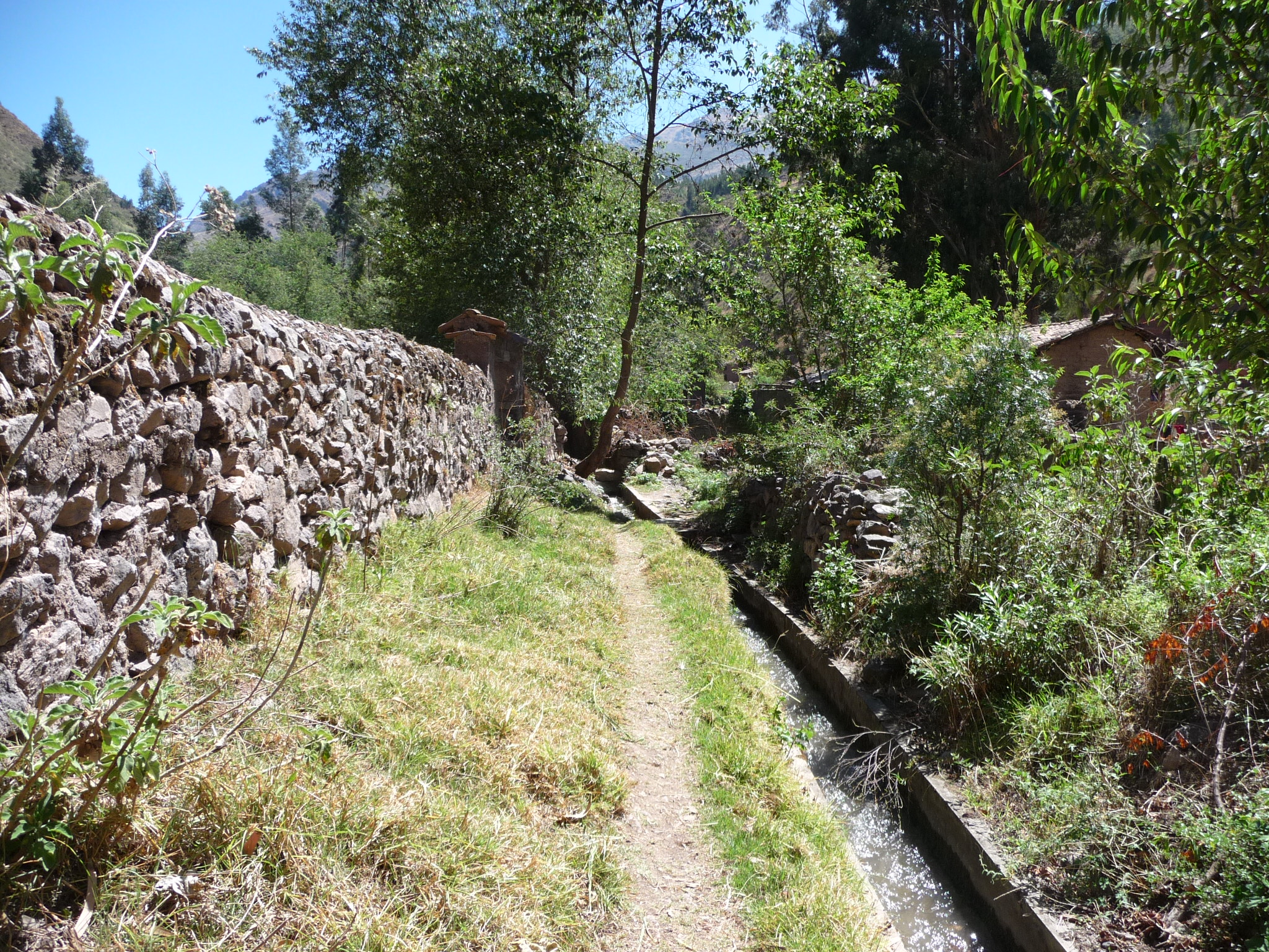
Continuing up the trail, still following an irrigation ditch.
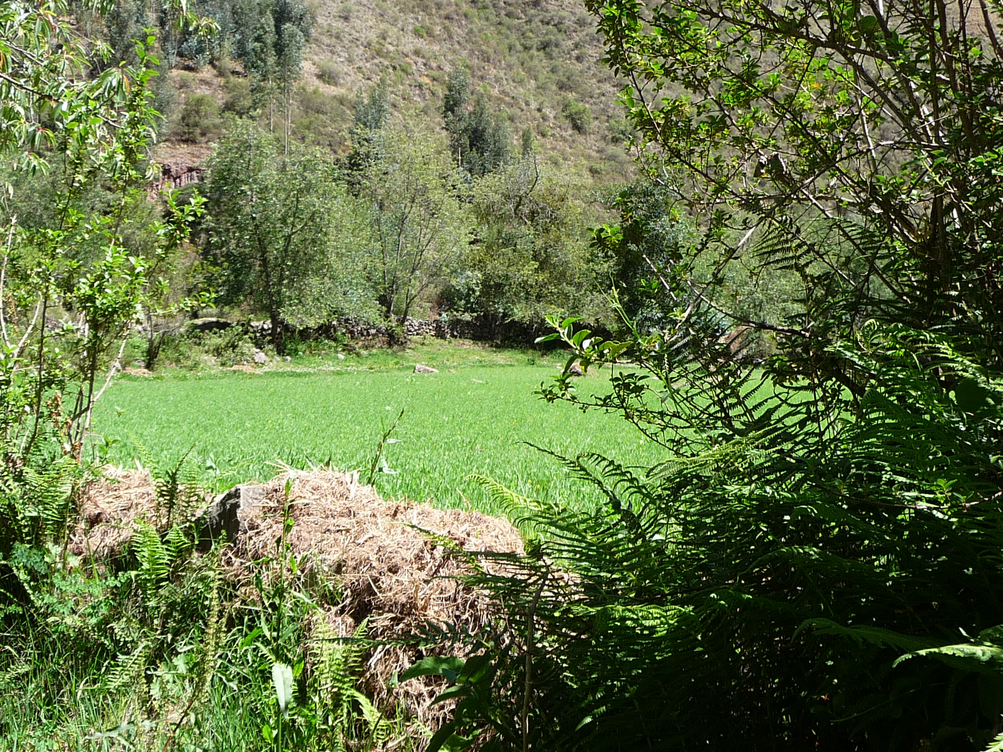
Another beautiful field …
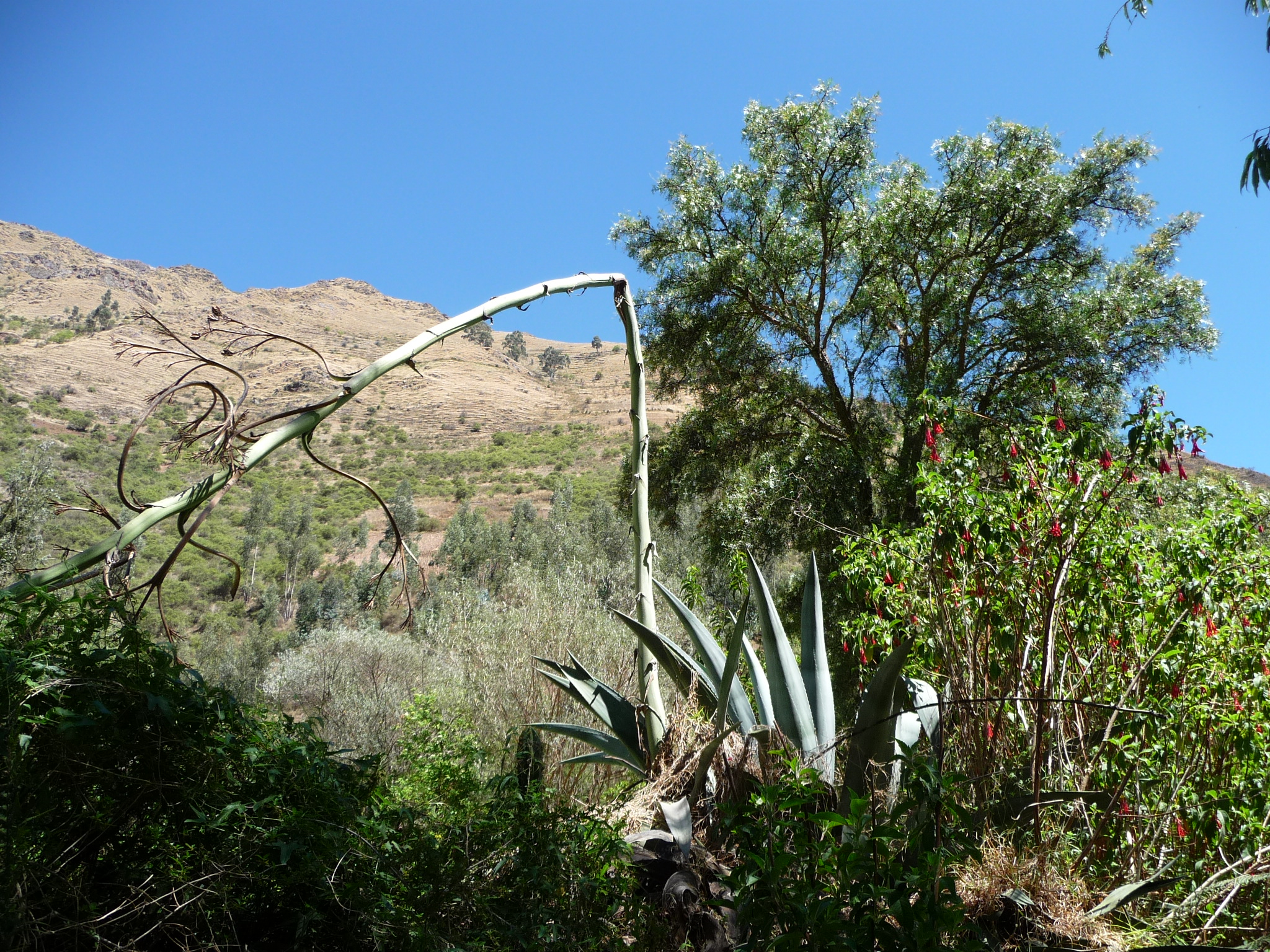
An interesting cactus.
Another very green freshly planted field.
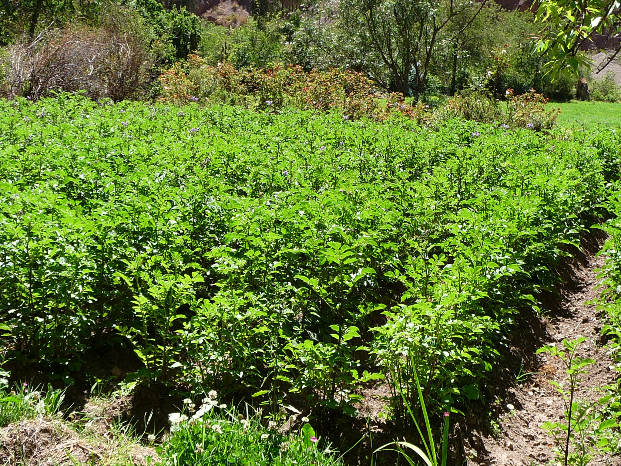
A field with more mature potato plants.
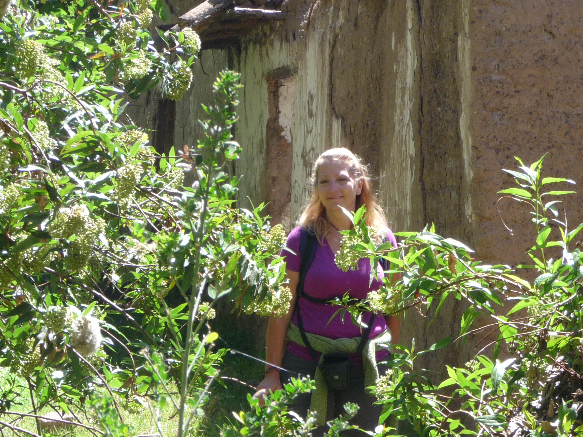
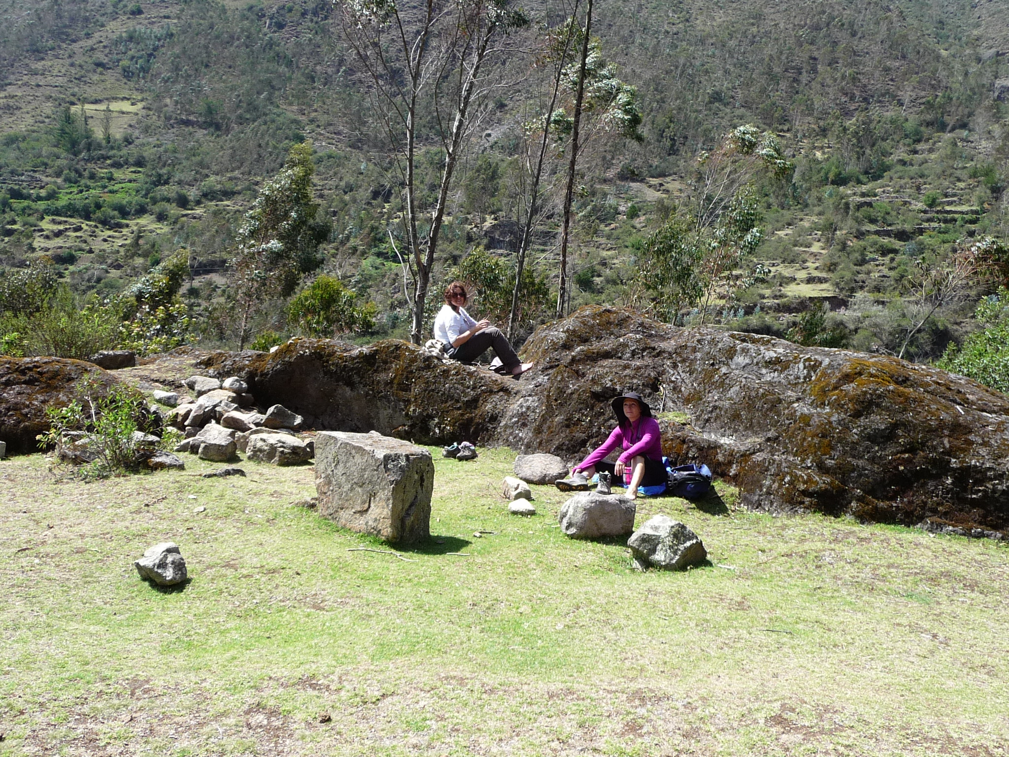
Jeanette exploring around an old abandoned adobe structure.
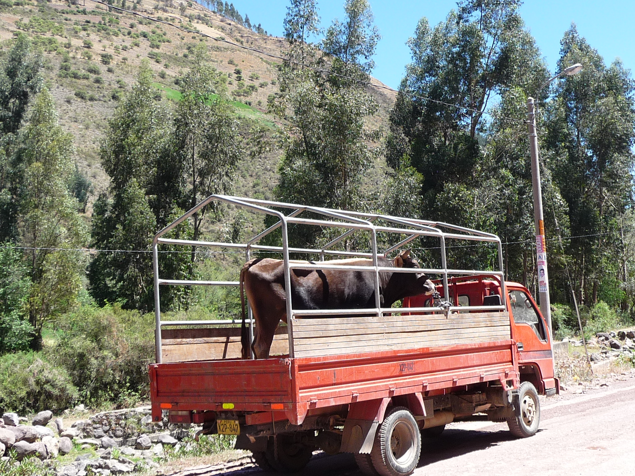
After going as far as the trail would let us, we crossed a bridge and began to hike back toward Calca on the main road. This huge bull greeted us from the back of a typical truck.
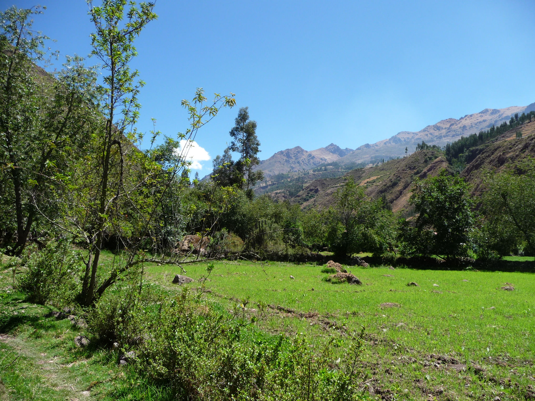
A view during our return trek.

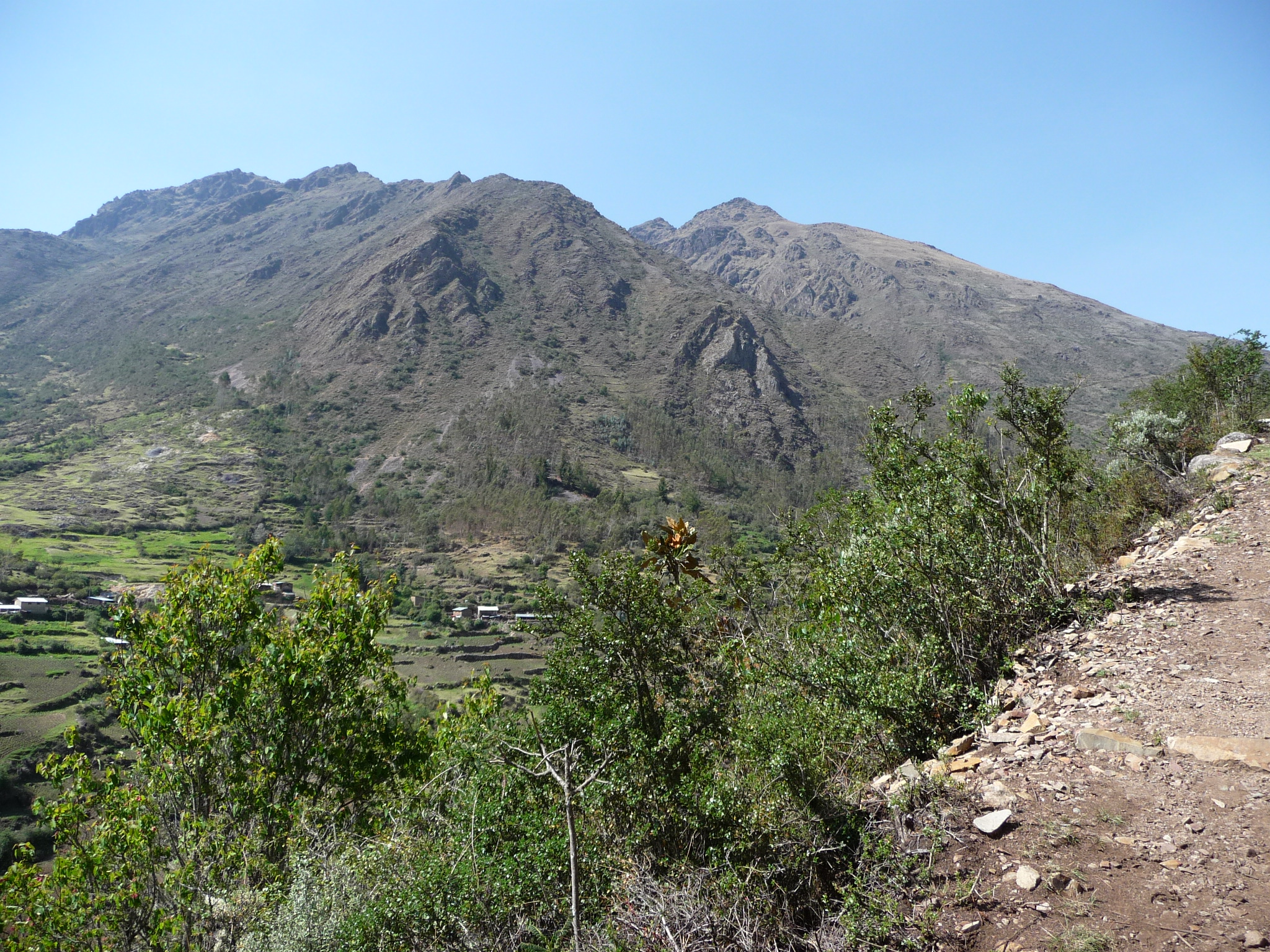
A view perhaps a mile above my house.
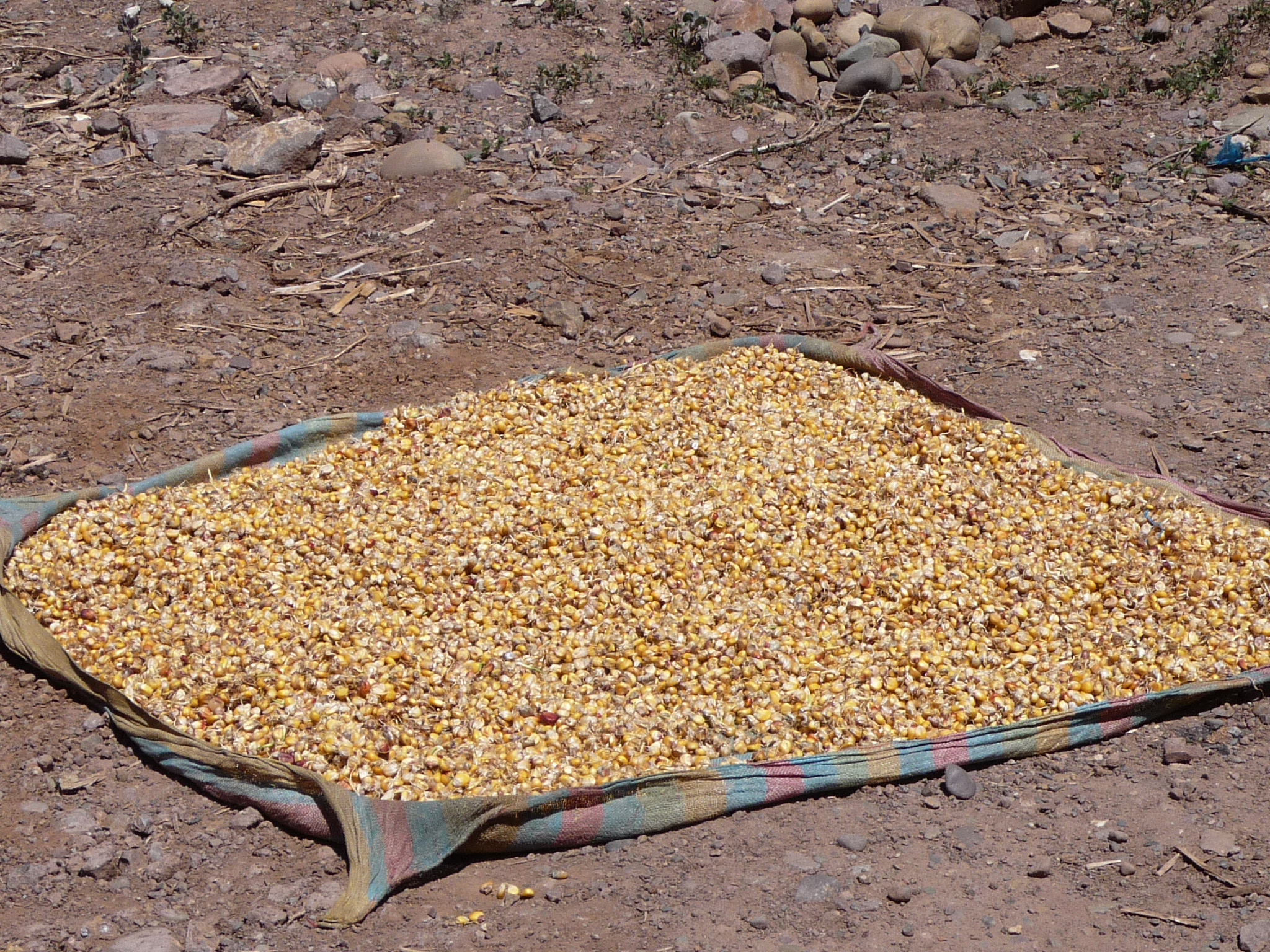
Maize (corn) drying in the sun.
This two story home was so far below the road, so that the second floor opens out onto the road.
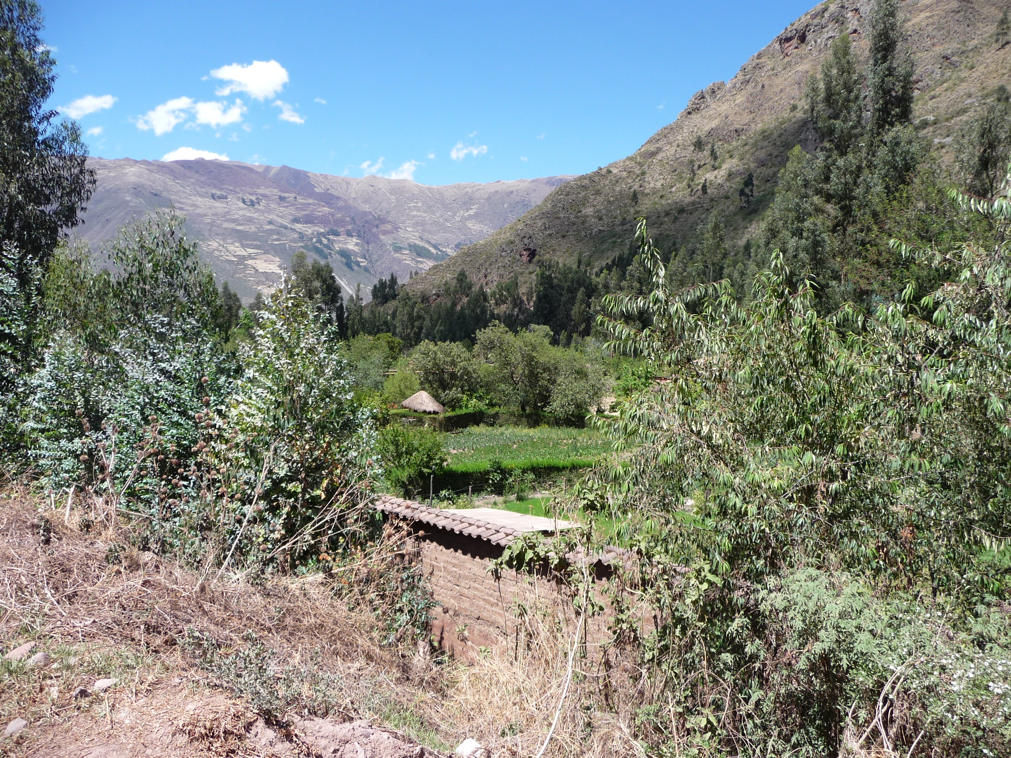
A beautiful little house and field between the river and the road.
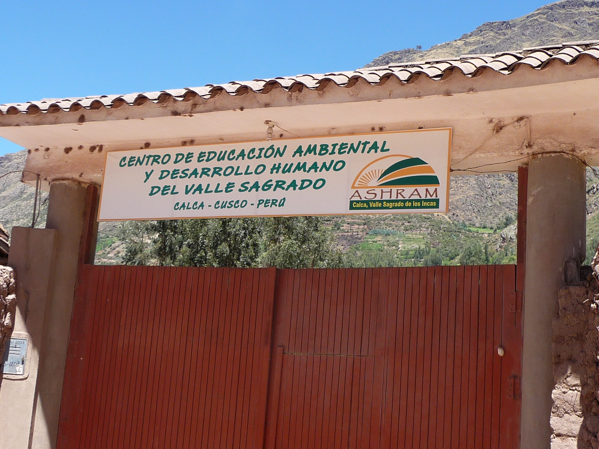
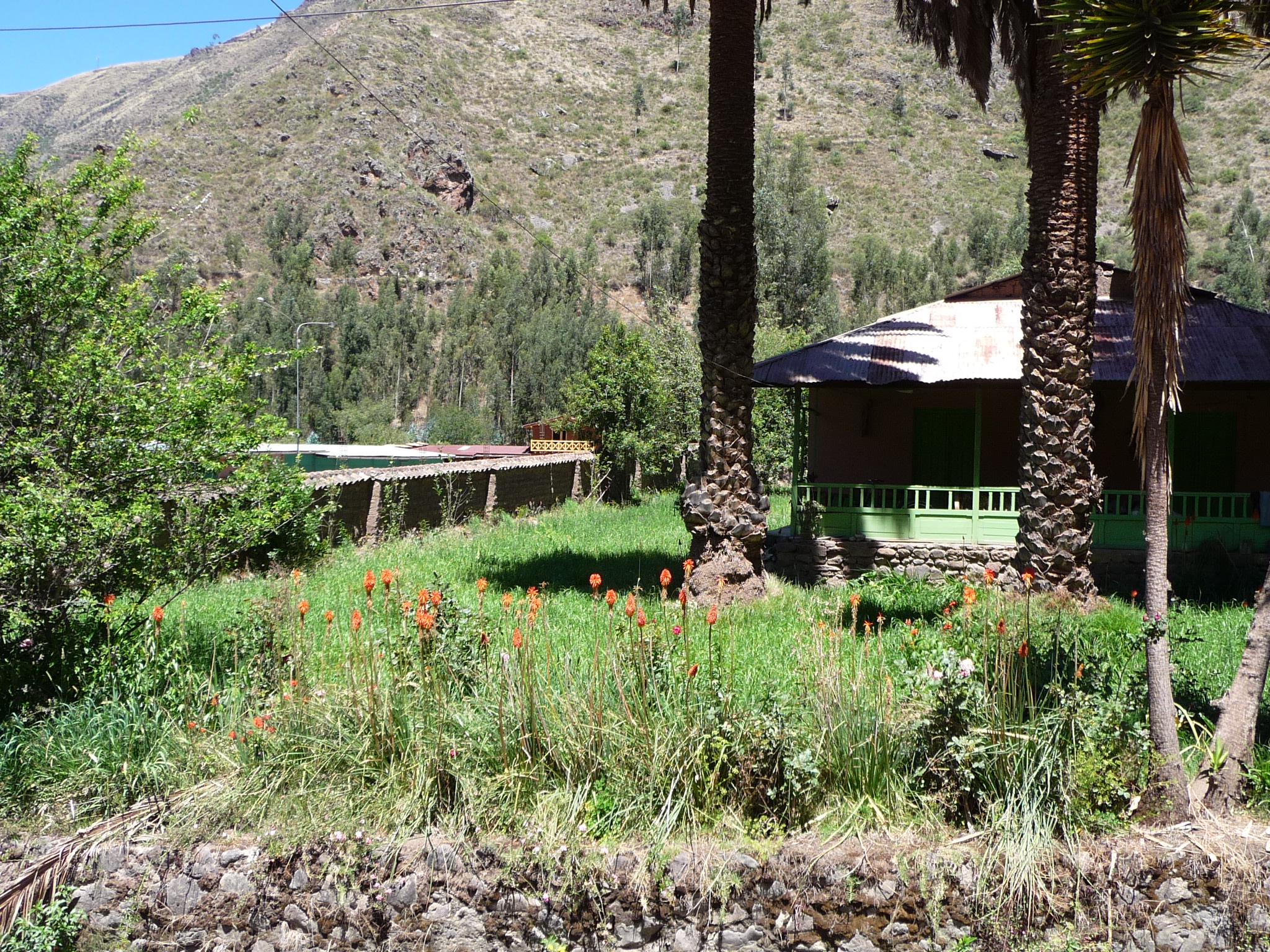
This little “ashram” is only a few hundred yards up the road from my house. I had no idea it was here until someone told me about it in September.
Later that same day, Jeanette and I sat in my river playground and watched my neighbor plow another field of corn (the one directly across from the bridge).
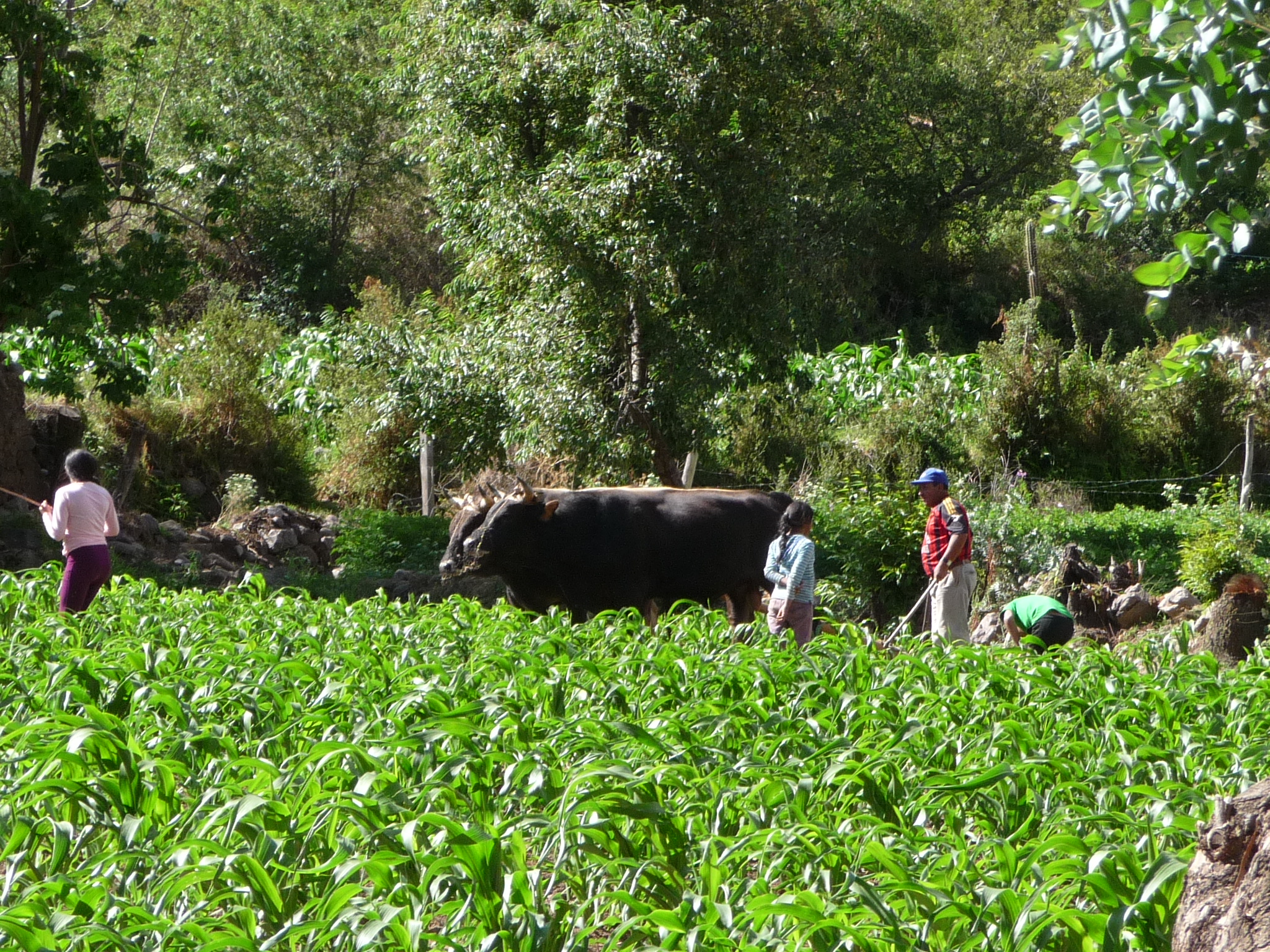
There he is again in his red and black shirt with vertical stripes.
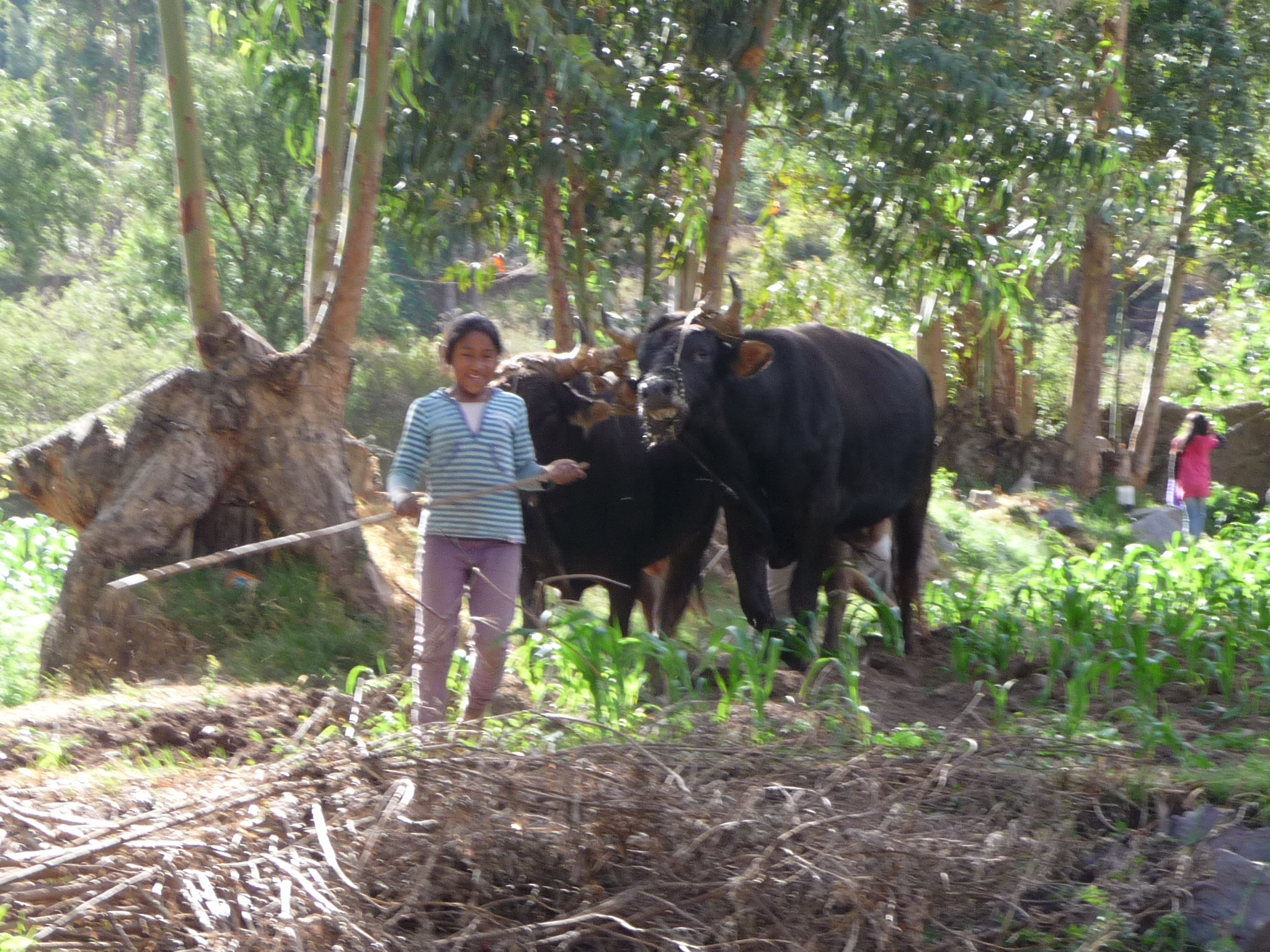
One of my neighbor girls helping out.
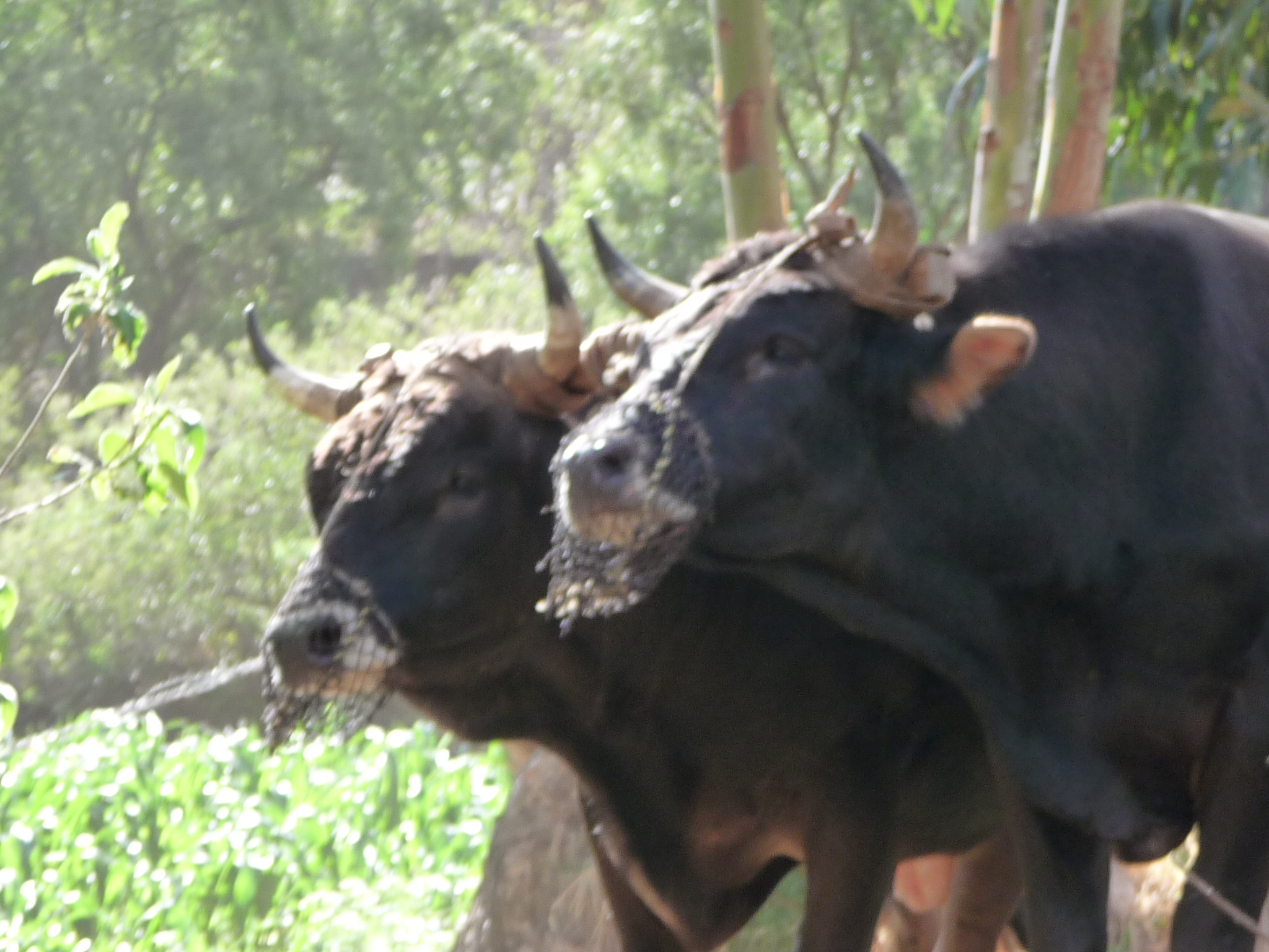
These bulls have some type of net around their mouth – maybe to keep them from eating the corn as they walk through it.
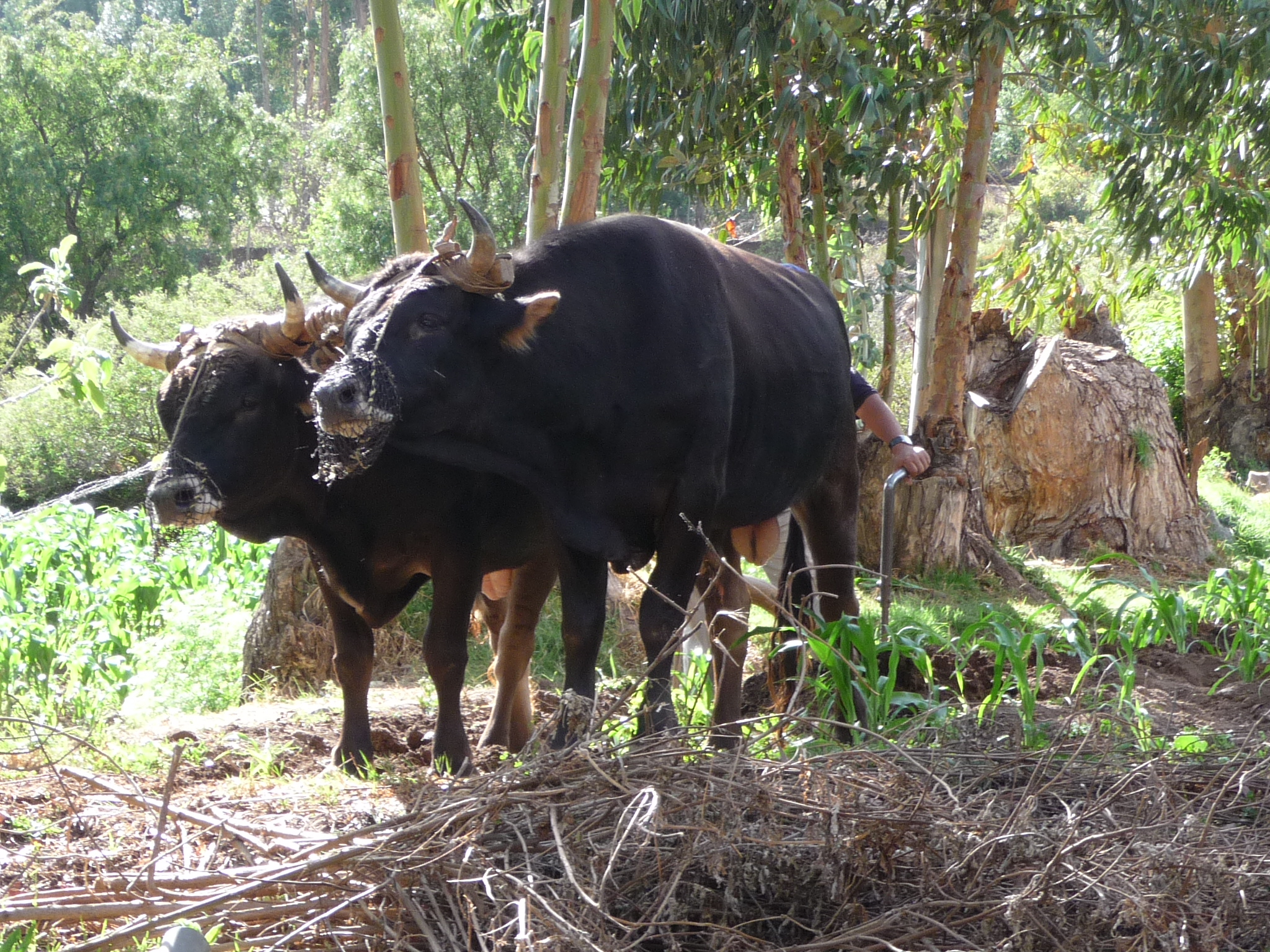
Same photo with less zoom.
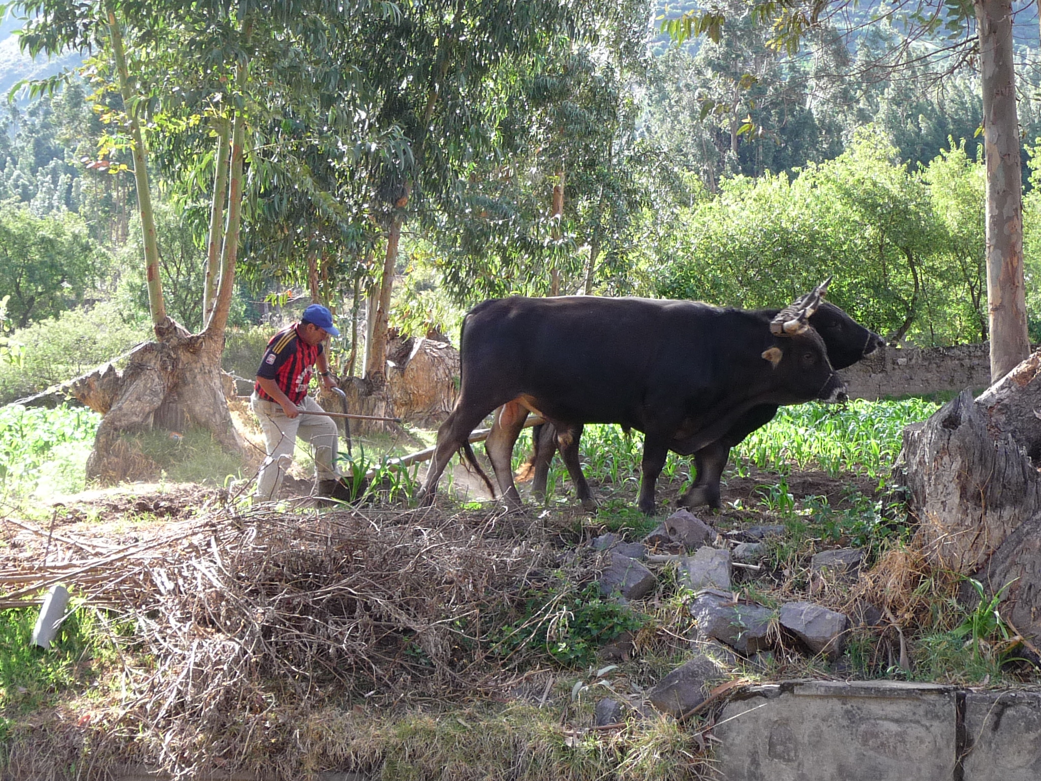
My neighbor riding the plow behind the bulls.
Drive To Lares Hot Springs
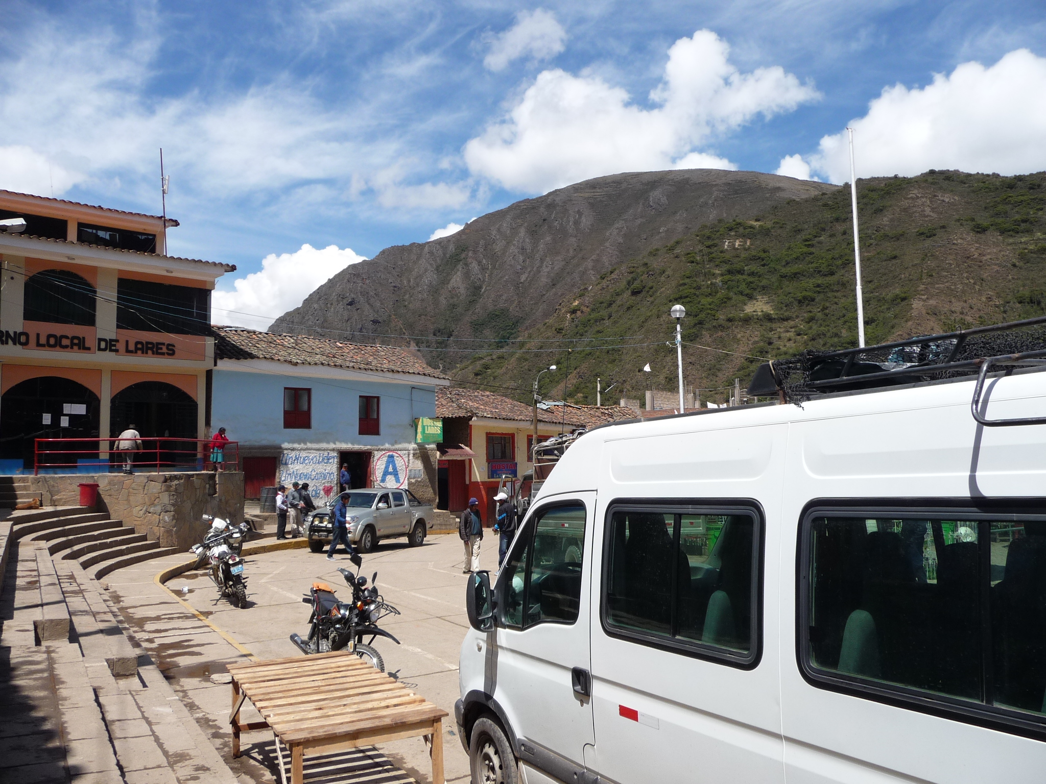
On November 10, 2014, Jeanette and I got up early and walked down to the Calca market, where we found a minivan waiting to take us on a magical journey up over the mountains to Lares Hot Springs.
For the grand sum of 10 soles each (about $3.50 US) we rode over the top of the Andes mountains on very narrow roads, many of which were unpaved.
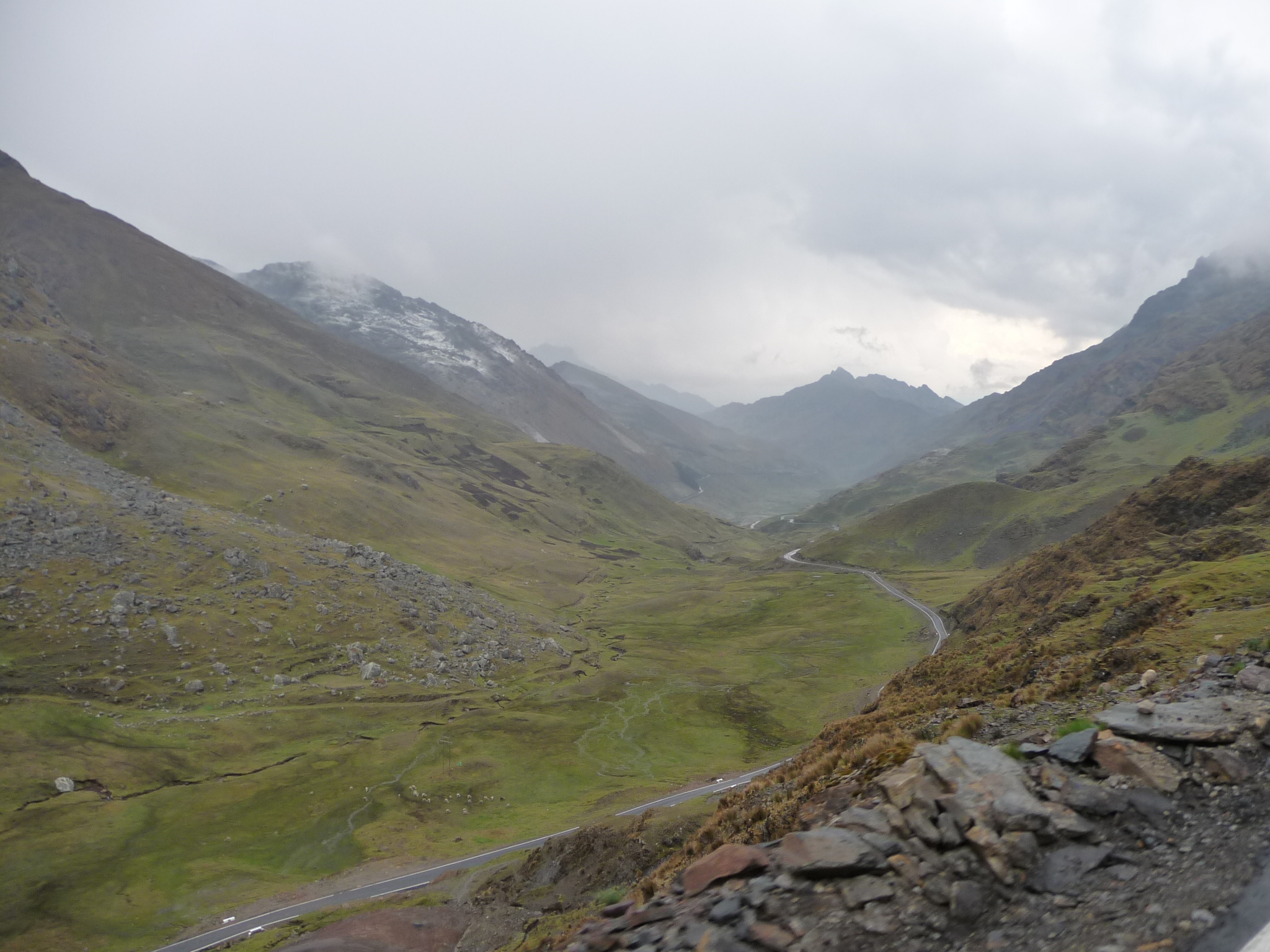
The highest point of the pass is over 14,600 feet above sea level.

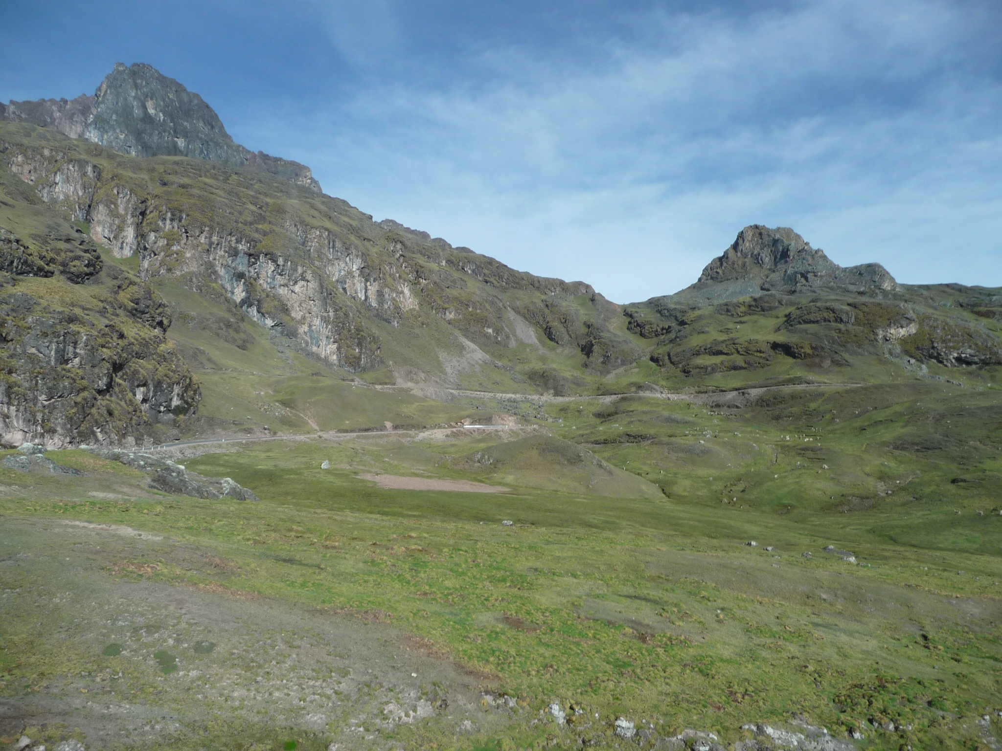
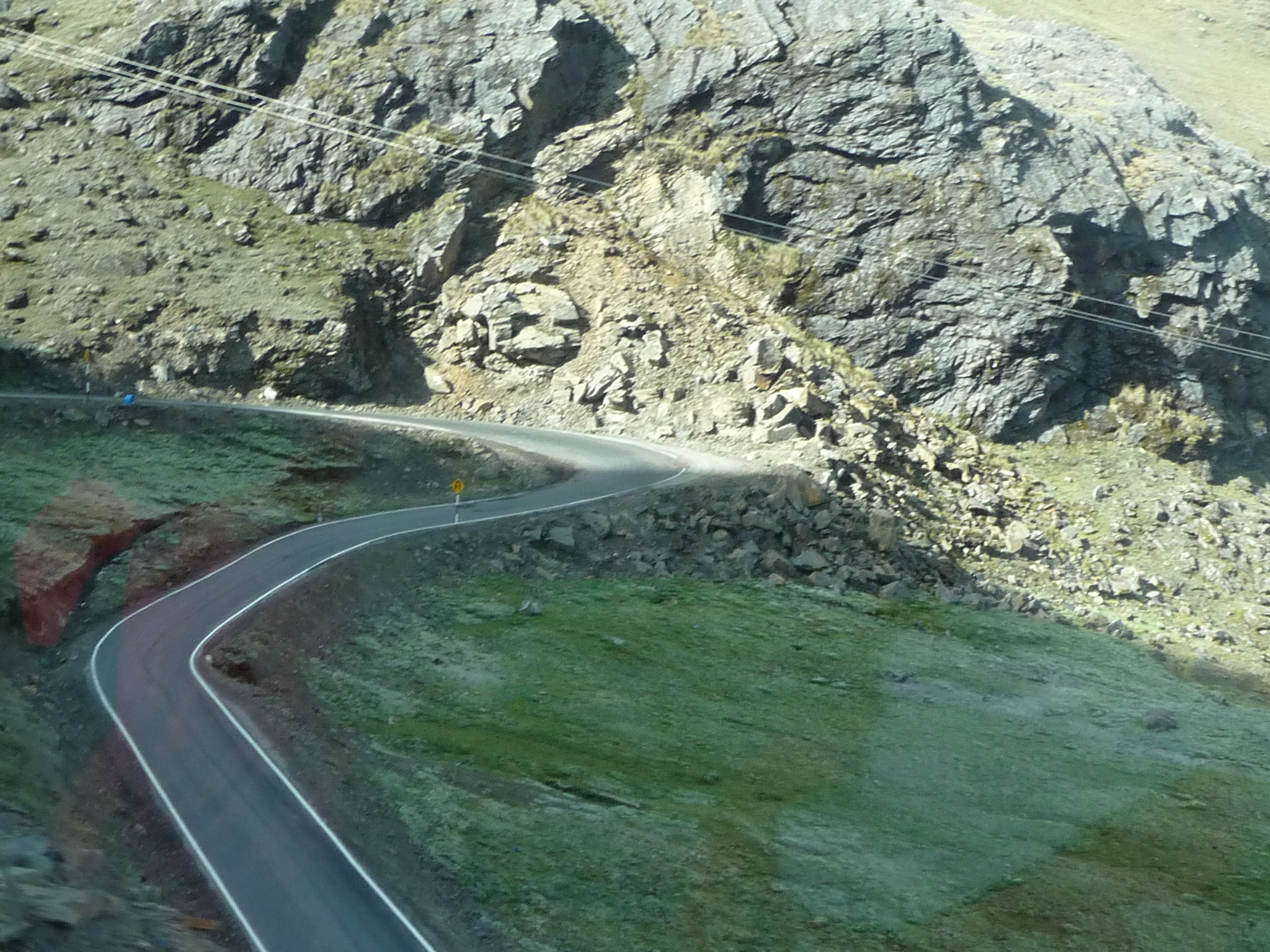
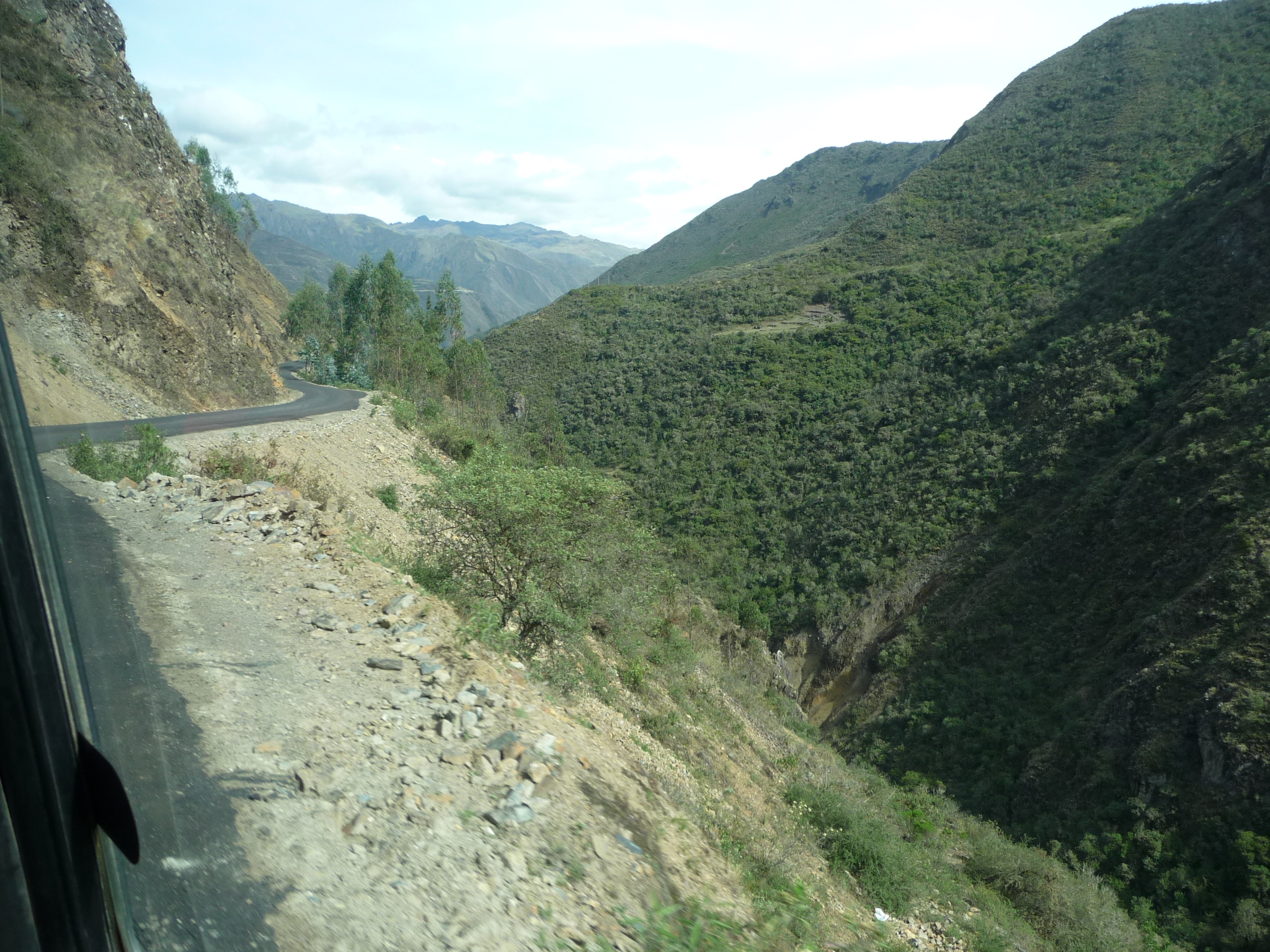
In this photo we are already very high up in the Andes mountains. If you look closely, you can see the road on the far side of the valley, continuing in a steep slope up the far mountain.
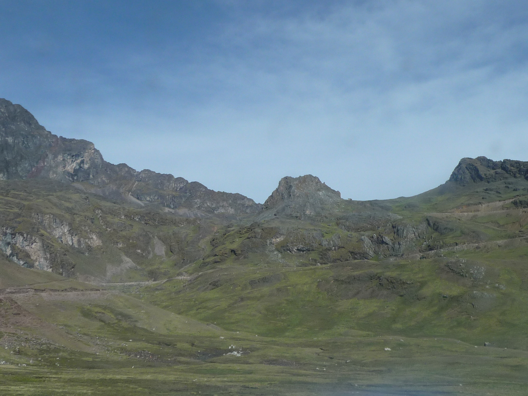
A closer look at the road across the valley as it climbs up those very tall mountains. I would guess we are already somewhere around 13,000 feet above sea level at this point.
The highest mountain pass that we traverse is up at the low spot of that ridge above.

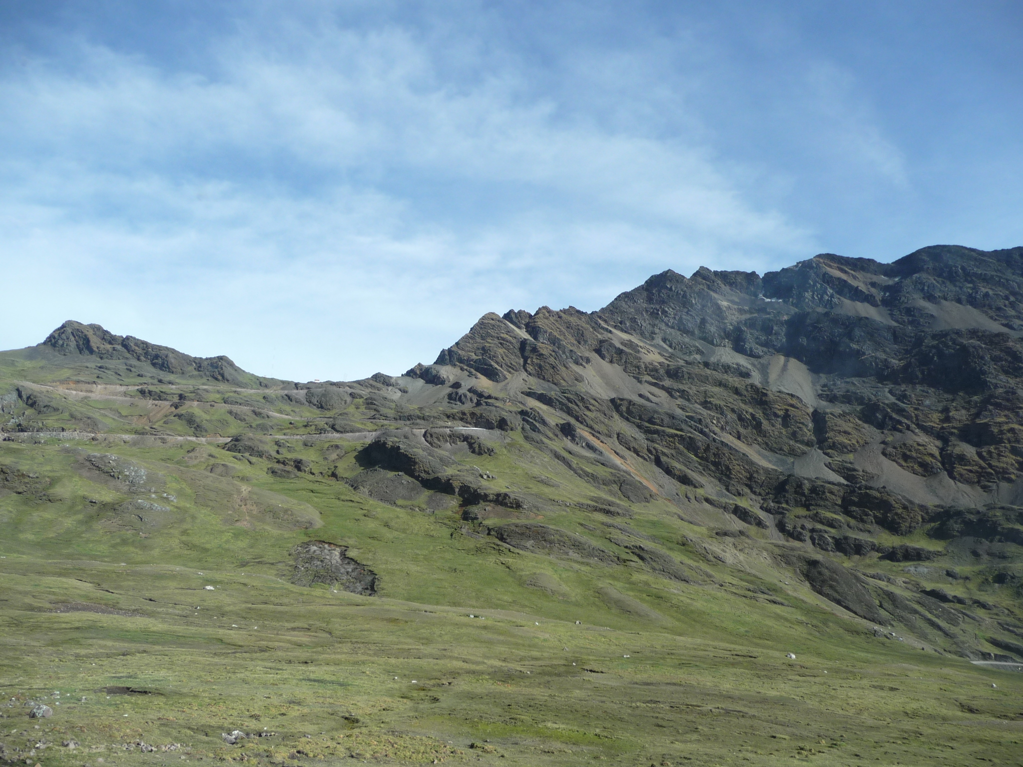
A similar photo, a tiny bit closer.
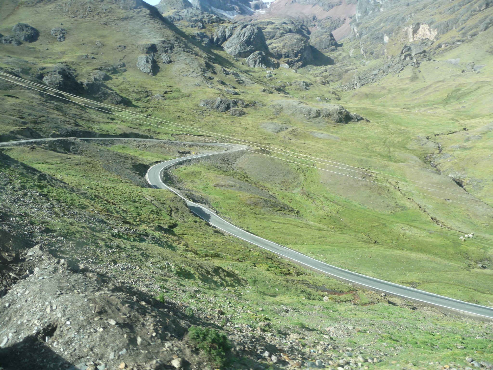
Zig-zagging along a narrow unpaved road, continuing beyond that little peak on the right.
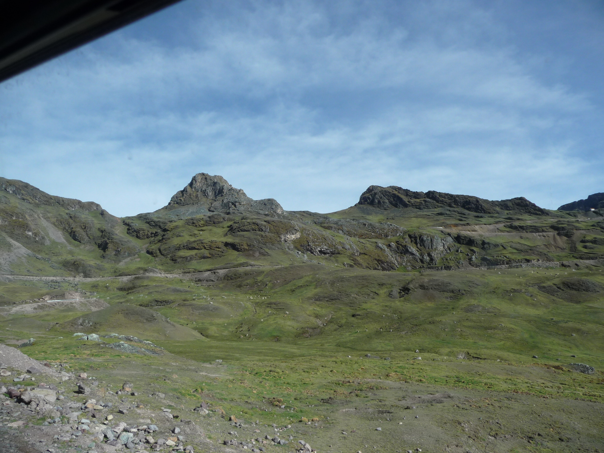
More beautiful scenery as we just keep climbing.
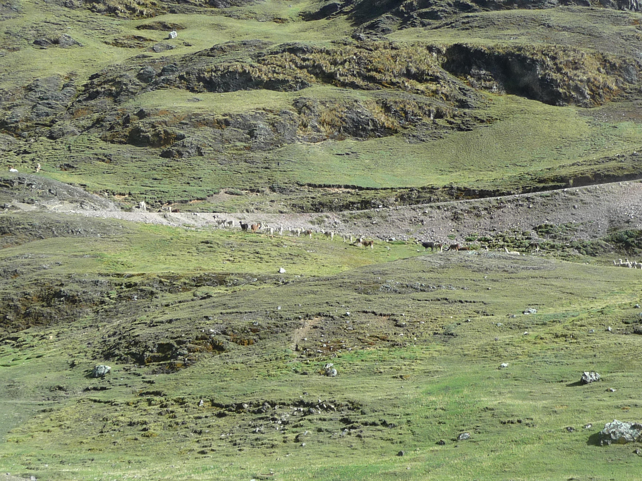
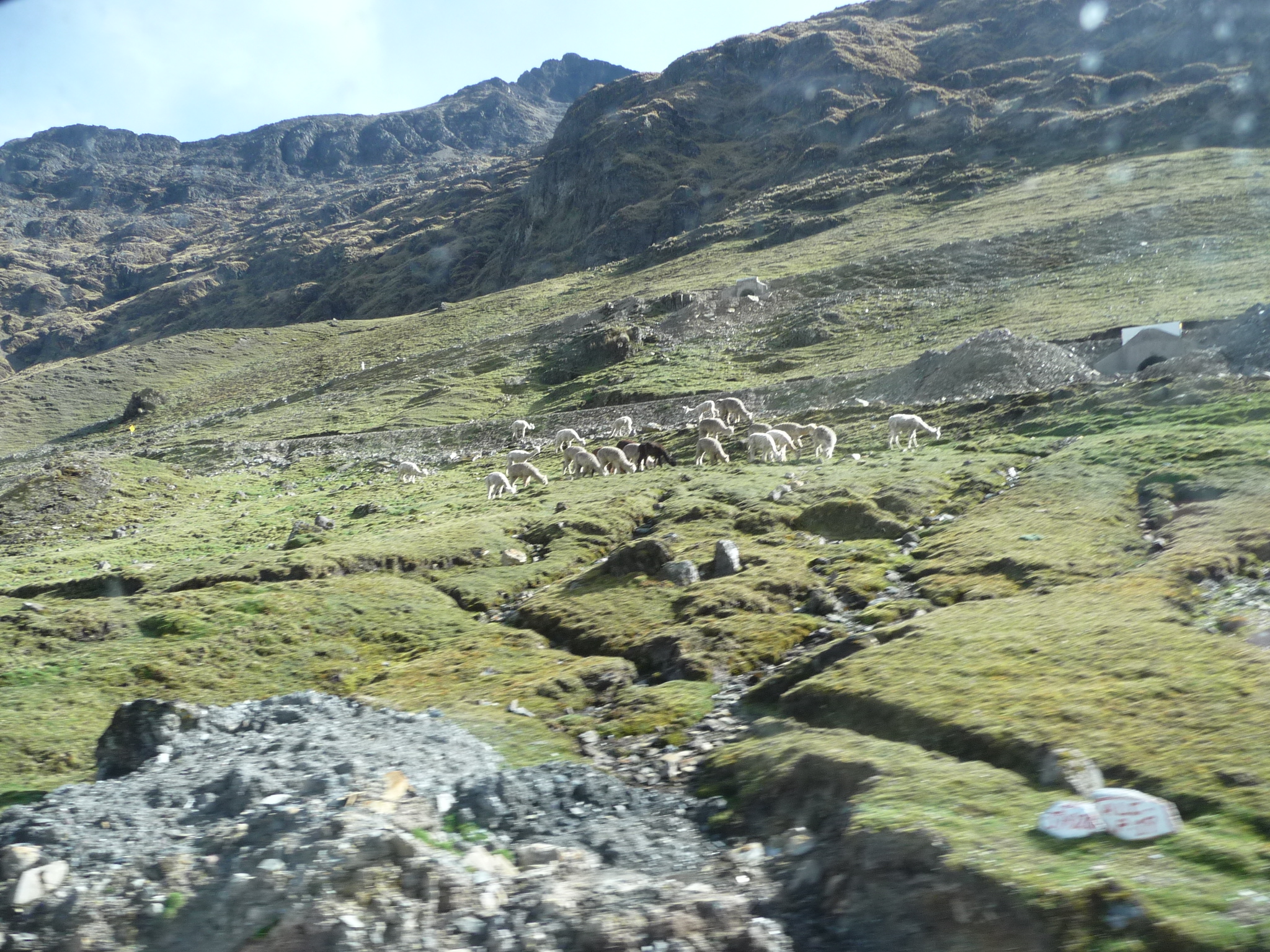
If you look closely, you can see a large herd of either alpacas or llamas right in the center of the photo, crossing over the road.
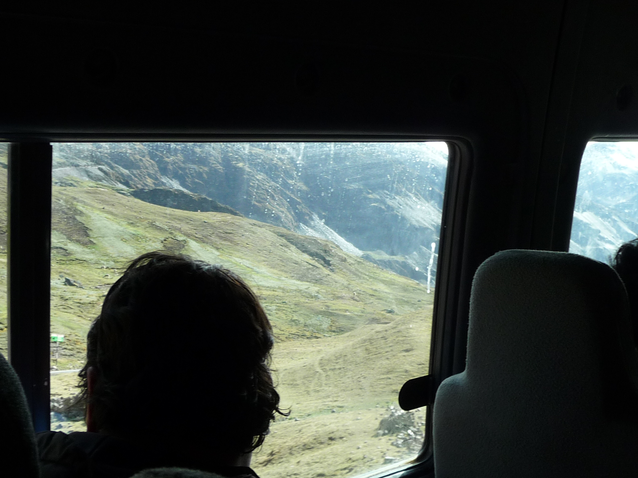
Looking out the minivan window back down toward the valley from whence we came. I found it very hard to get good photos from where I was sitting. I was on the very back row of the minivan, and NOT at a window. All of my photos were taken with a zoom through dirty glass.
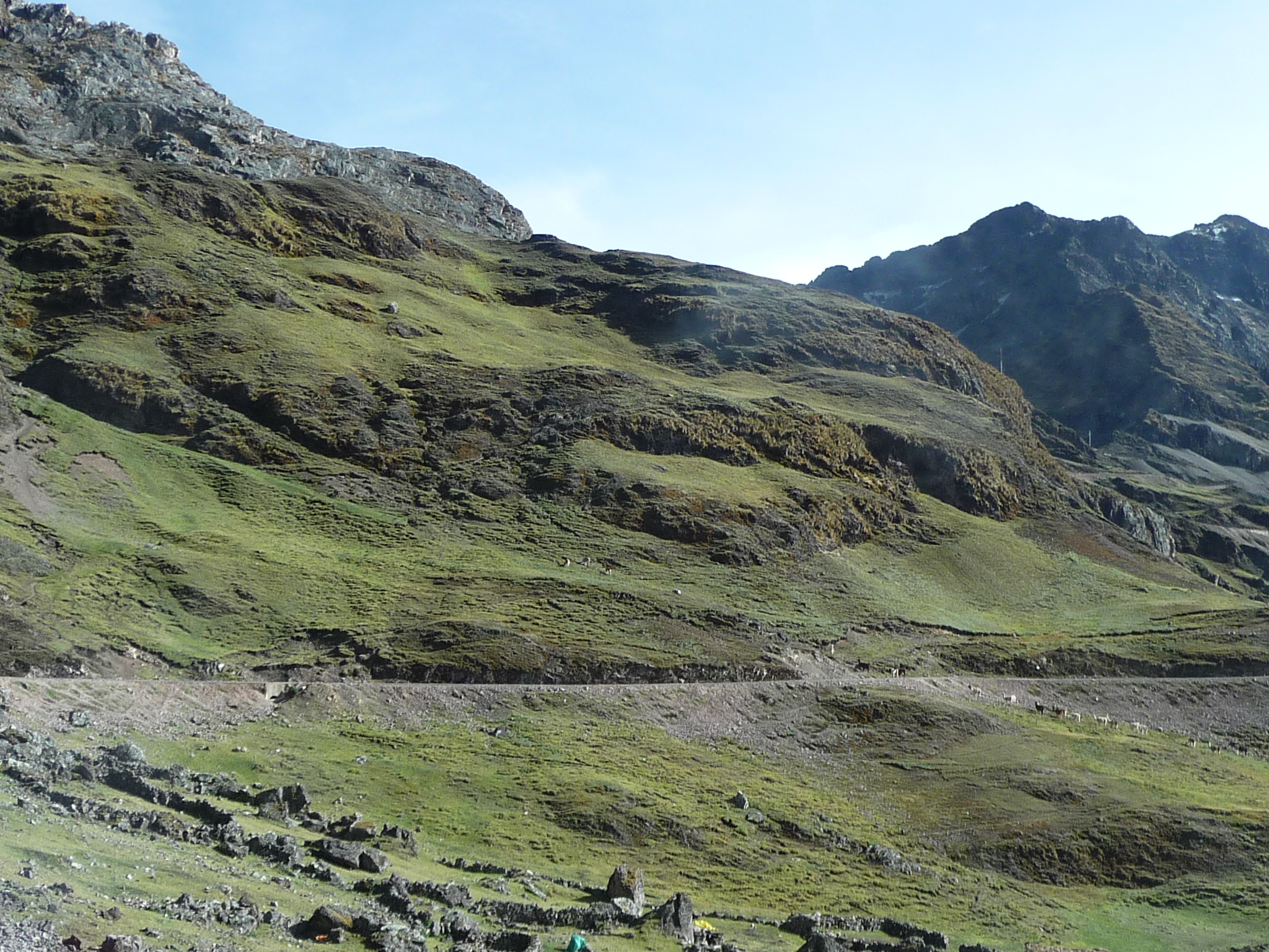
Still climbing. There are more alpacas / llamas crossing the road at right center.
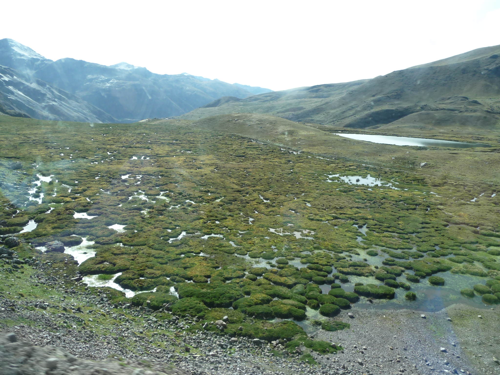
Looking down as we continue climbing. There is a very marshy area here atop this mountain. We have to be at least close to 14,000 feet by now.
And the road just keeps going up, up, up.
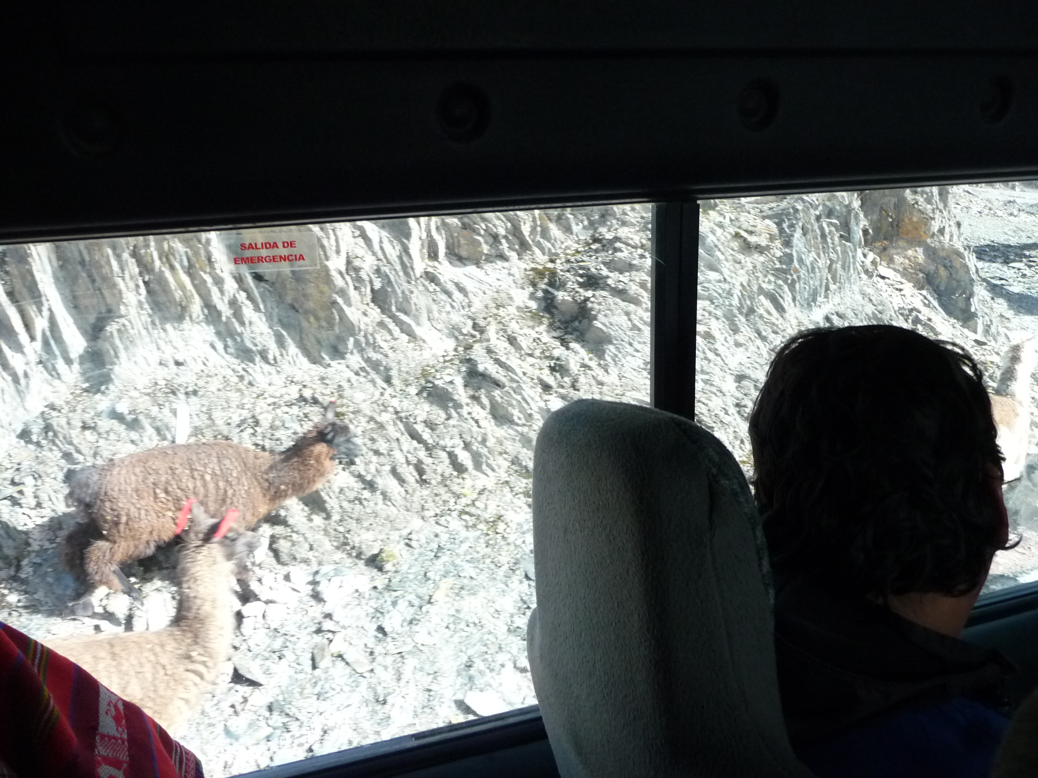
One of the many alpacas (or llamas) beside the road.
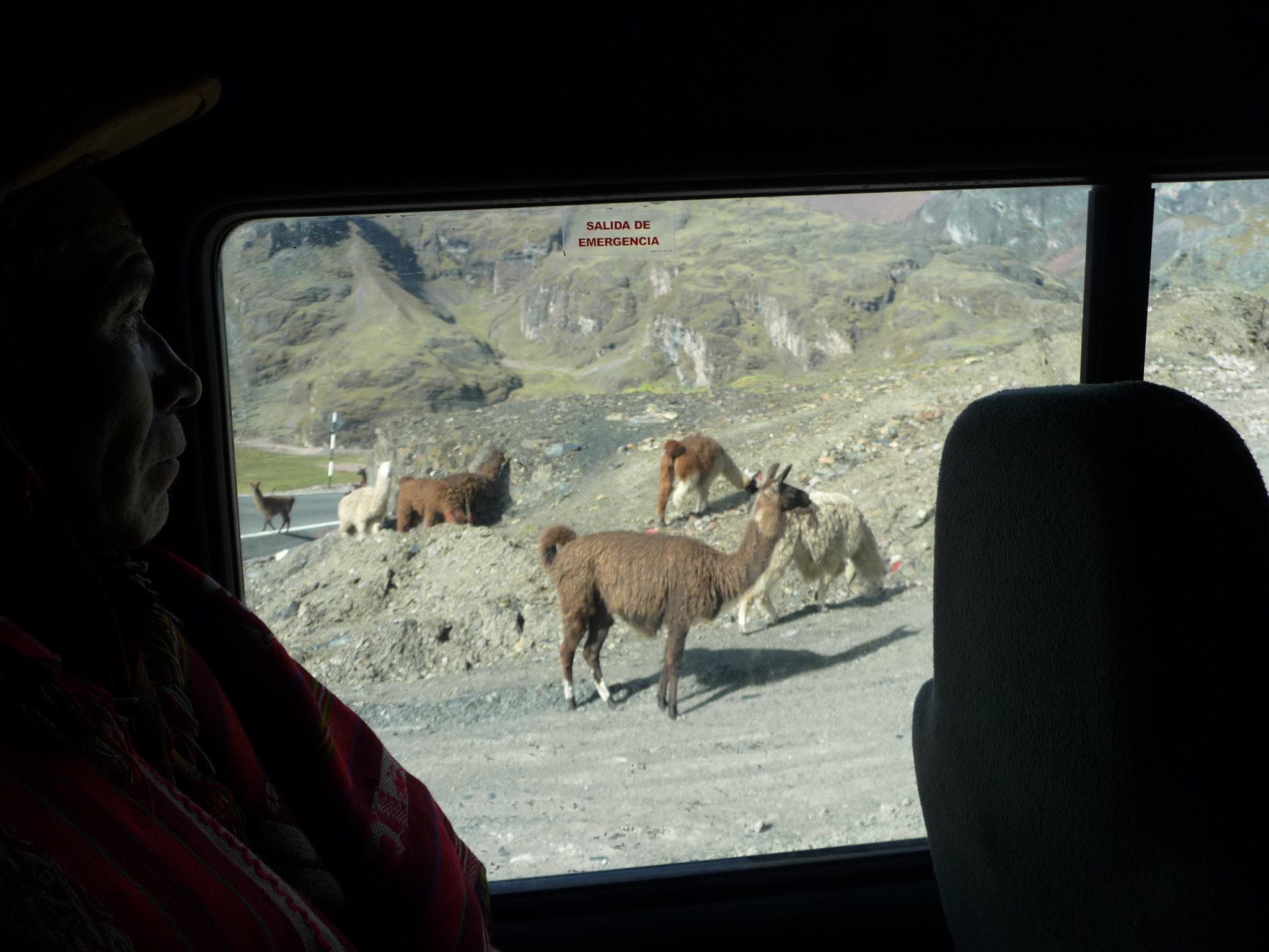
And more of them. These look more like alpacas to me.
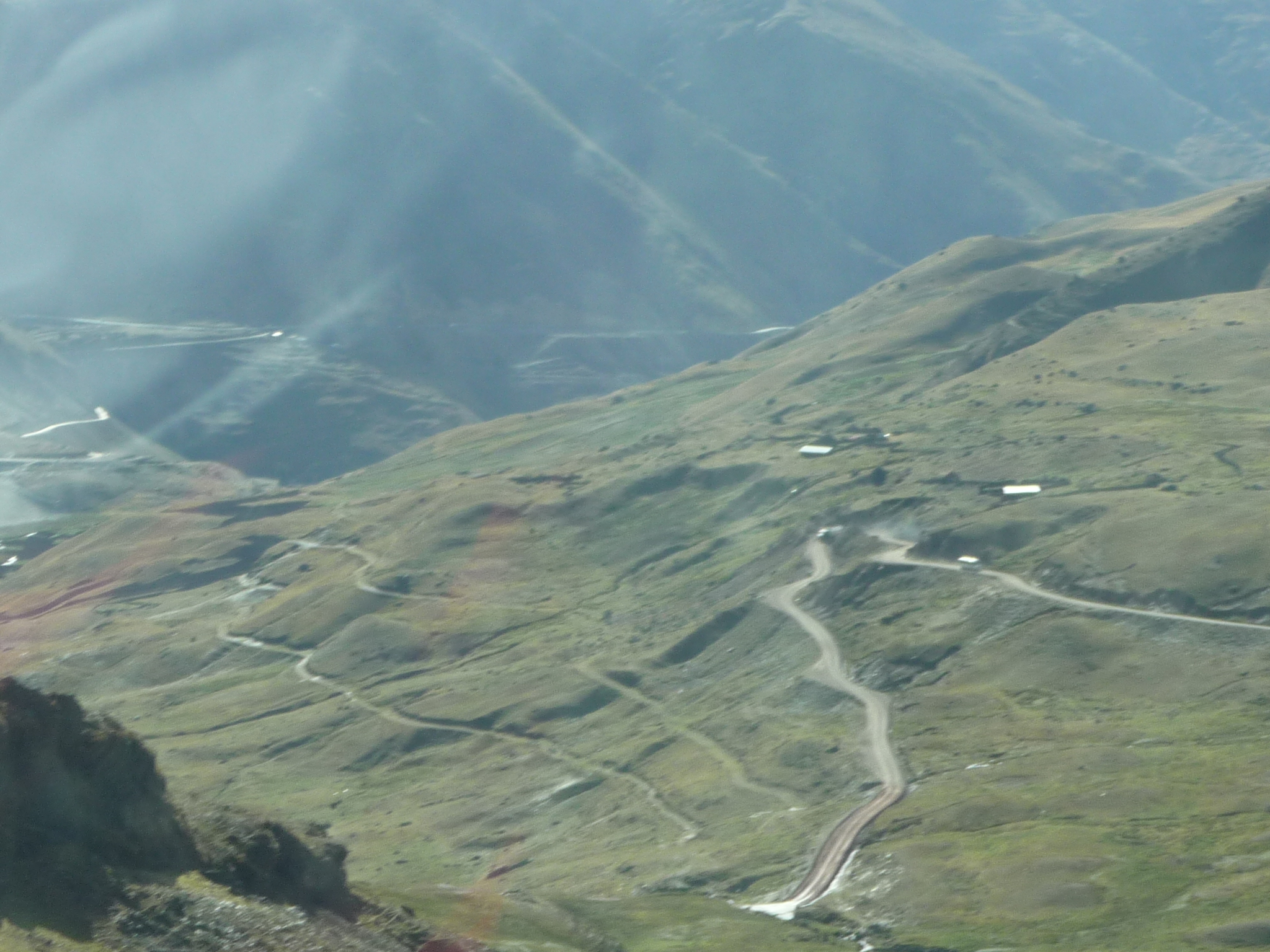
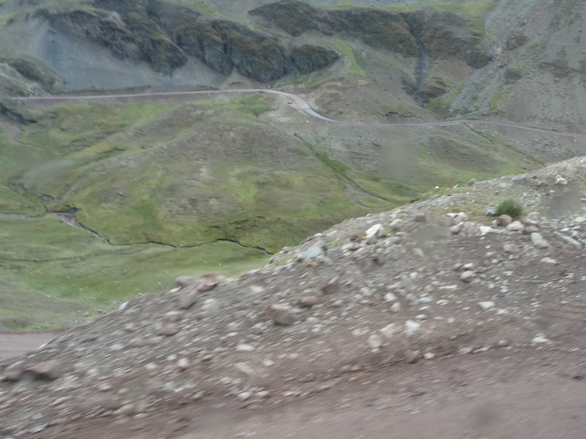
Looking back down at the road below as we near a ridge above. Most of that winding road is unpaved.
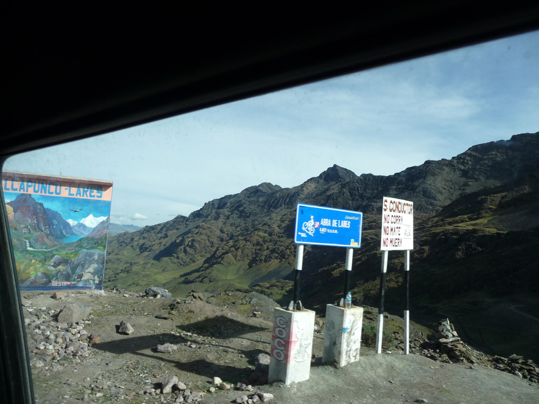
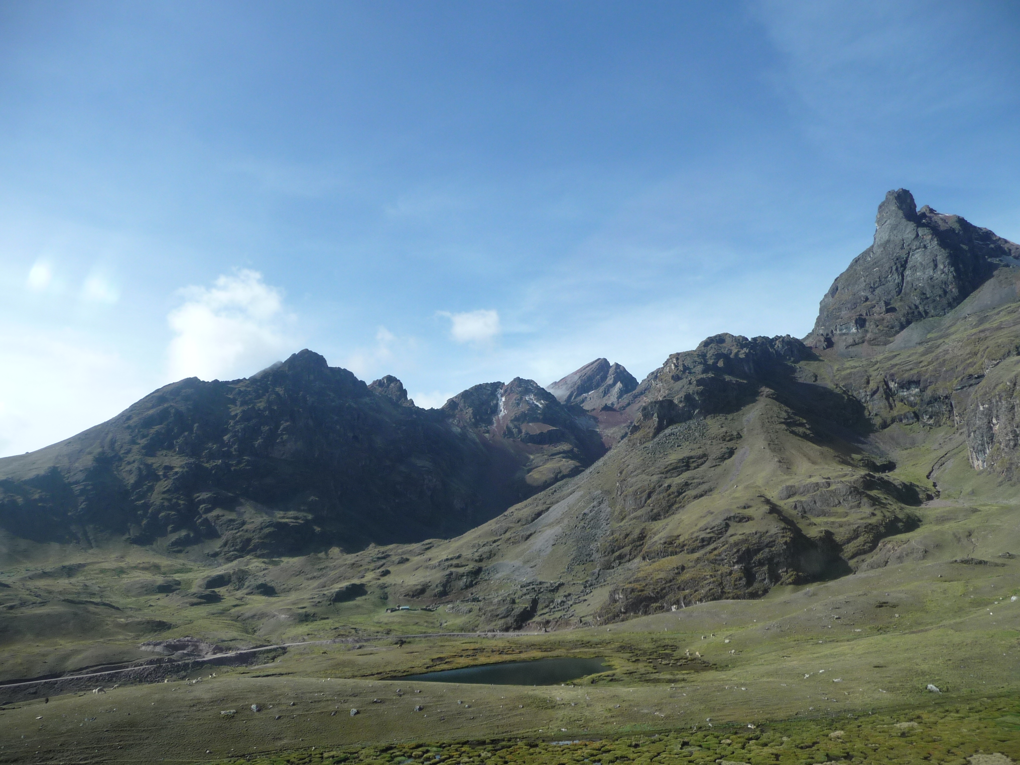
Finally, we cross over the highest mountain pass that I have ever crossed.
I just zoomed in on this sign and discovered that it says that this pass is called “Abra de Lares” and that we are at 4,461 meters above sea level, which is 14,635 feet above sea level — more than 600 feet higher than Pikes Peak in Colorado.
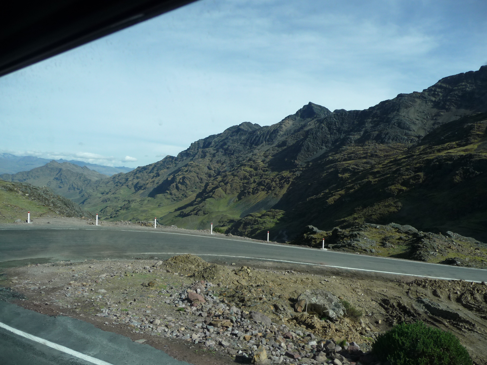
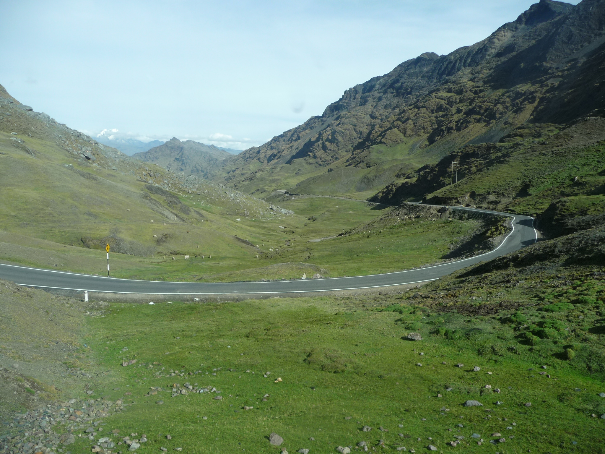
We now begin our decent to the other side of the Andes mountains. The narrow road here is paved, and just barely wide enough for two cars to pass by each other if they are very careful.
Looking at the window at a lower portion of the road as we zig and zag, back and forth down the switchbacks.
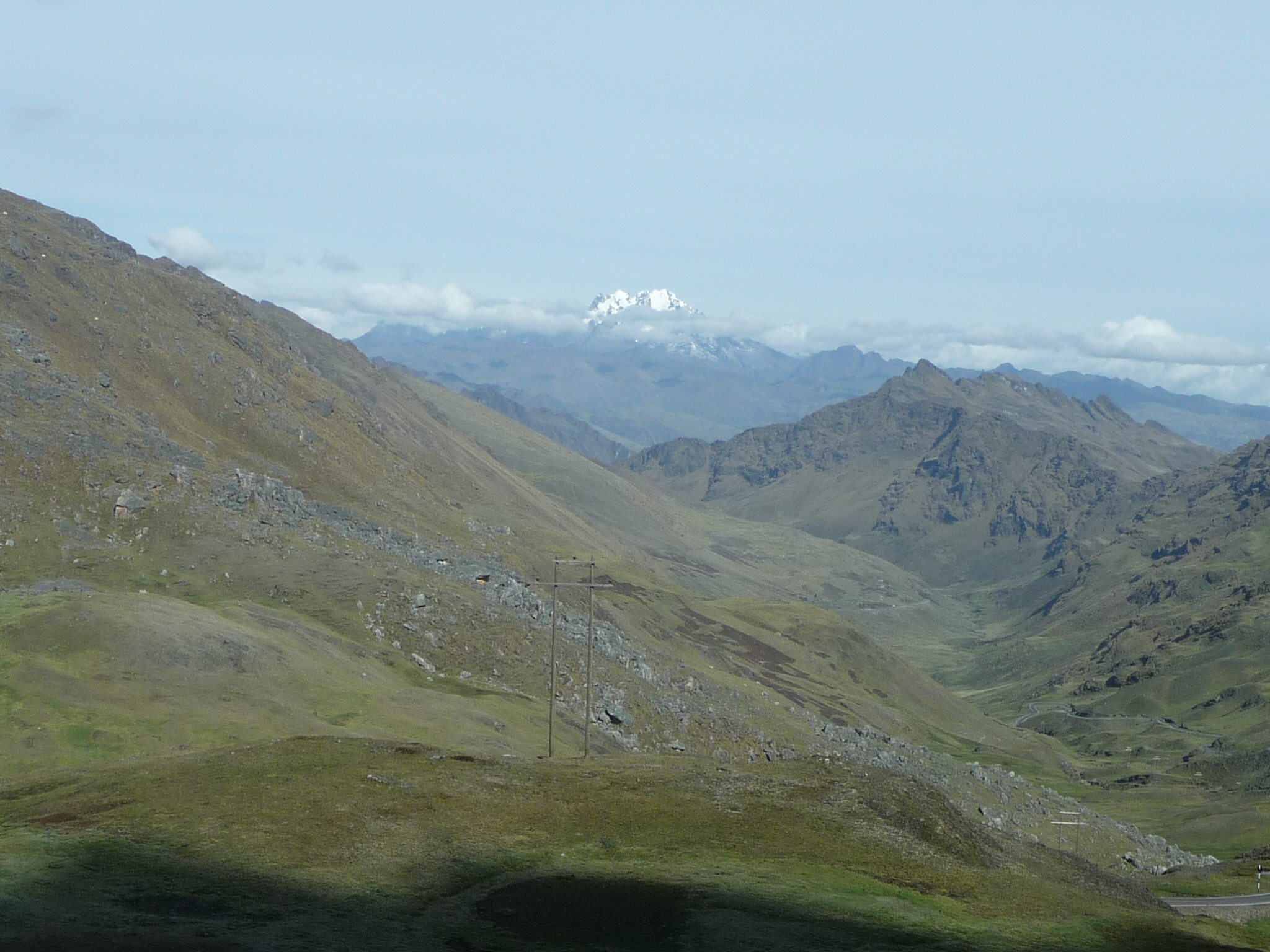
Looking at some really tall snow-capped peaks in the distance.
… and at another rugged snow-capped peak that is much closer (right in the center of the photo, way beyond the nearer ridges.
Looking down the valley as we continue rapidly downhill.
Machu Picchu is off in that direction, perhaps 30 or 40 miles in the distance.
More of the road below, continuing to descend.
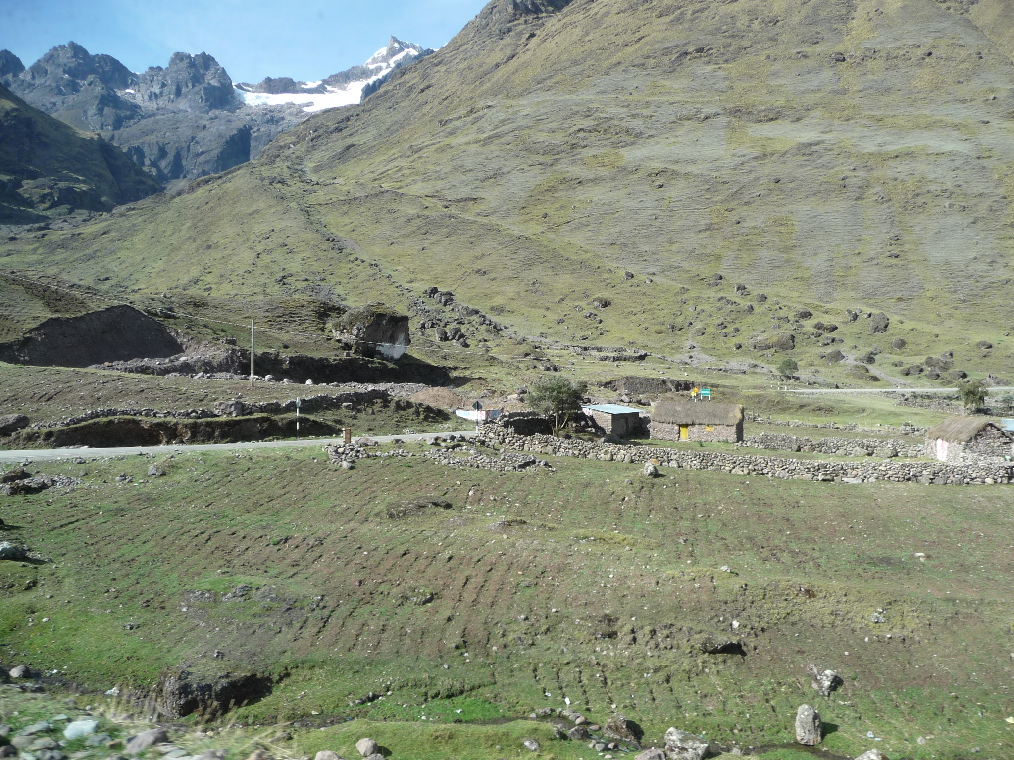
It is really quite beautiful up here, at around 14,000 feet.
But not much grows up here at this altitude. Lots of sheep and llamas and alpacas … lots of grass … and mostly potatoes in the cultivated farms.
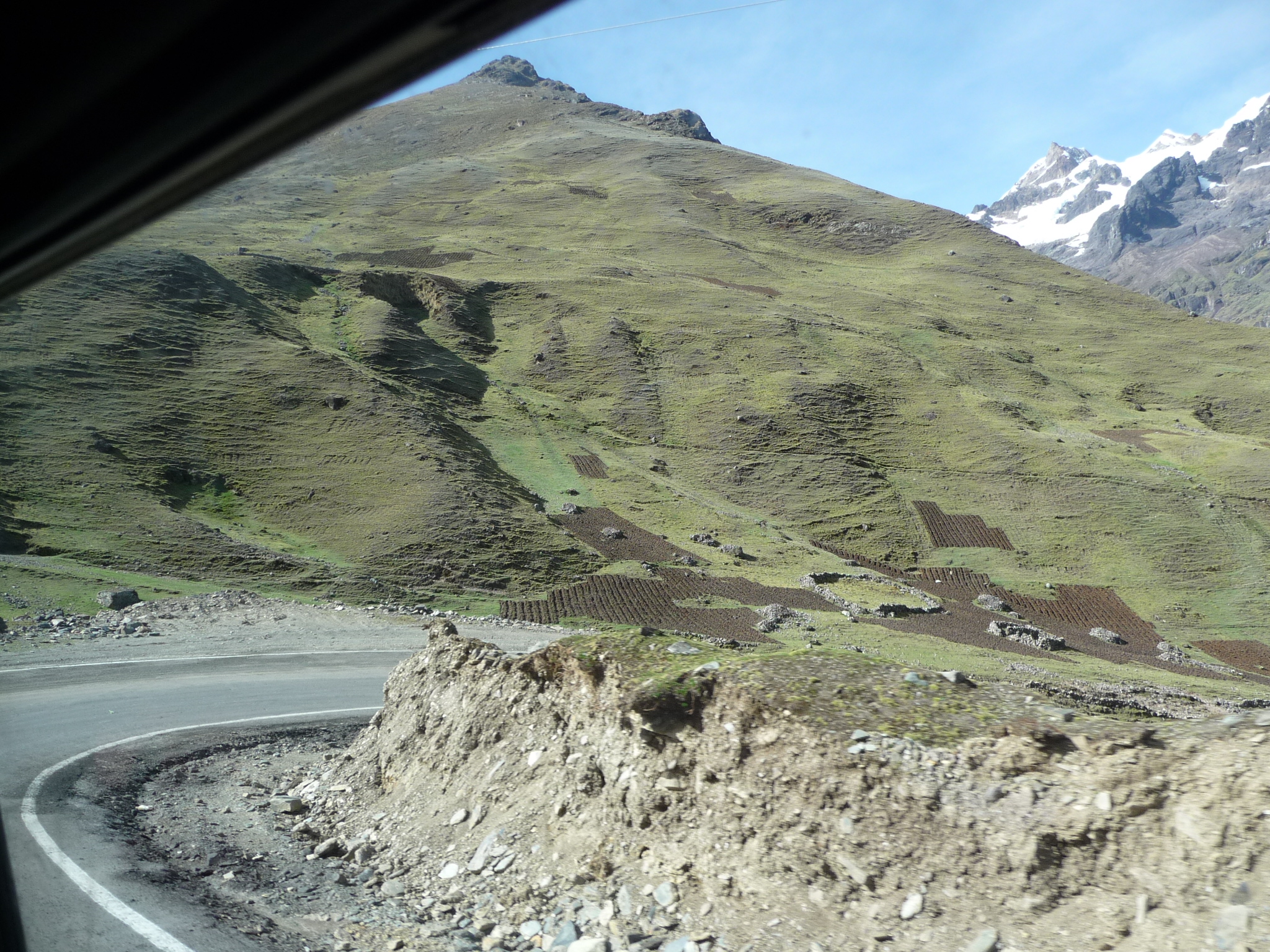
The brown patches right of center are freshly plowed fields. I can only assume that they are probably planted with potatoes.
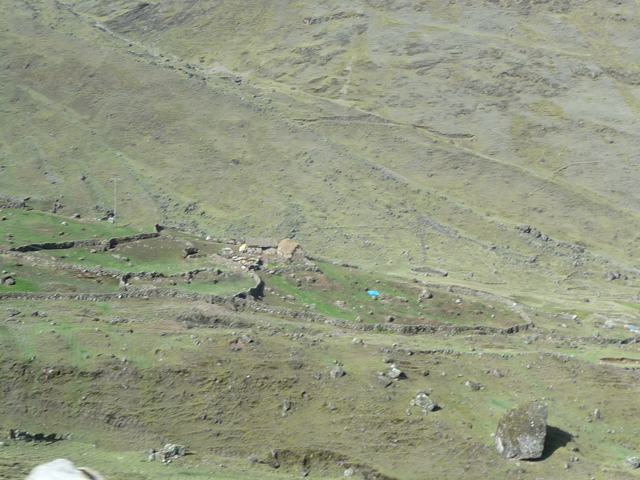
You have to enlarge this photo to really see the details. This is cute little farm house surrounded by rock walls.
Another little settlement high up in these Andes mountains. It is gorgeous here.
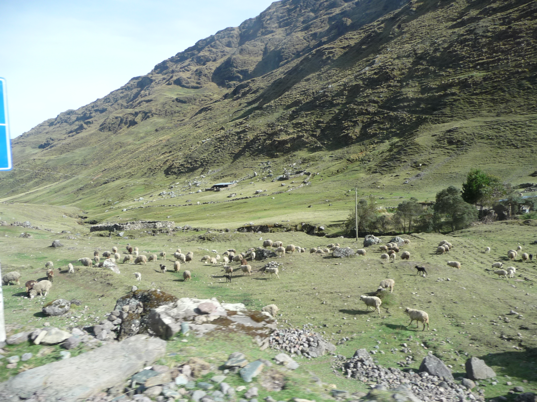
A large herd of sheep grazing on the yummy grass.
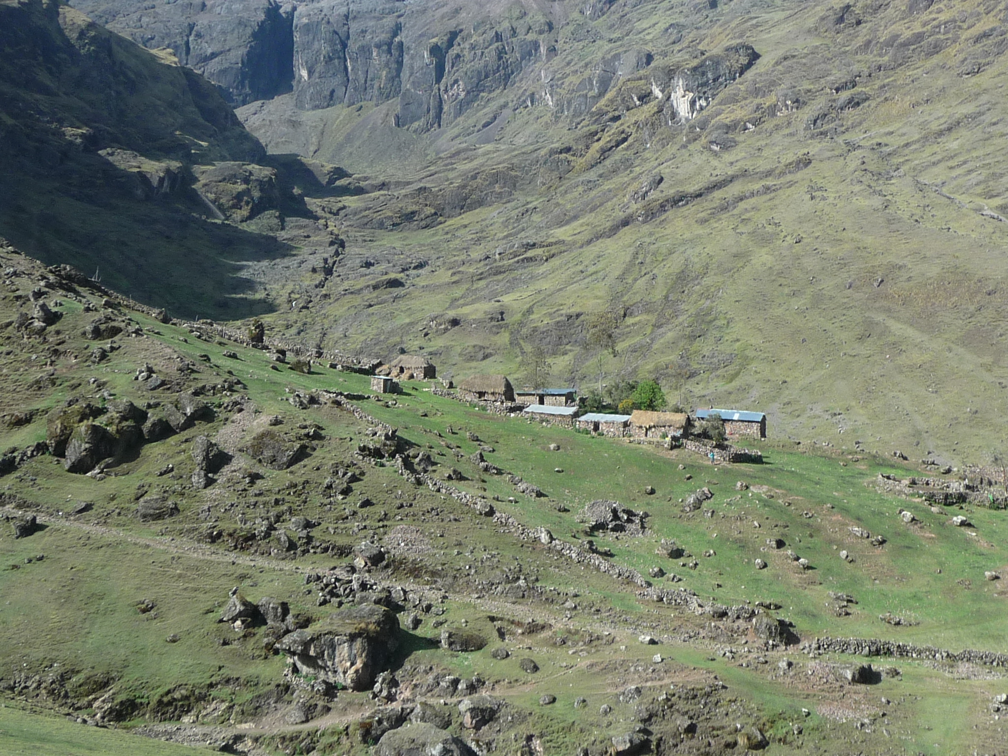
Another farm house and what appears to be a large cultivated field.

A beautiful valley below.
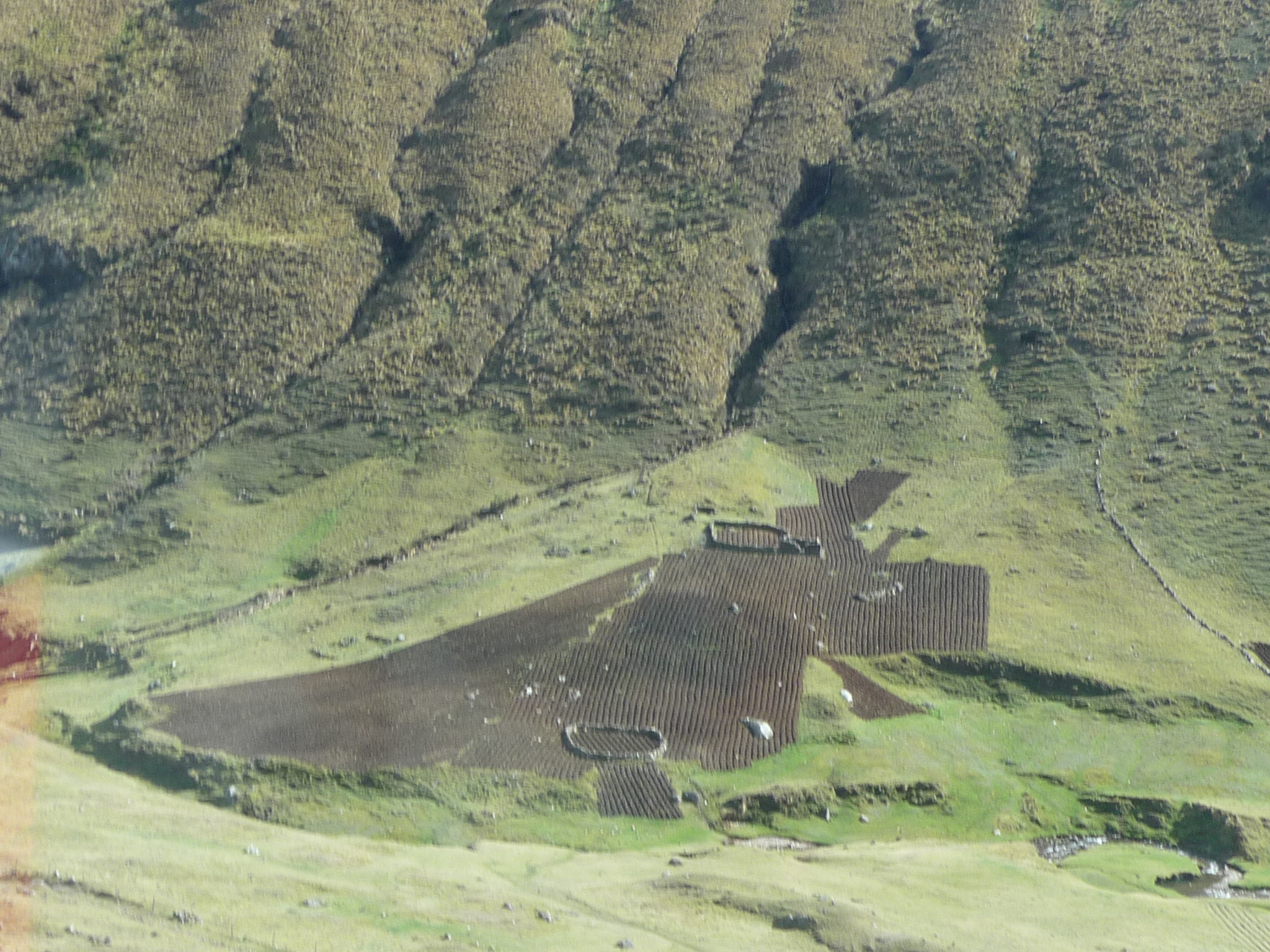
A large cultivated field in the valley below … likely potatoes. There are upwards of 30 different varieties of potatoes in Peru, and potatoes are a main staple for people that live at these altitudes.
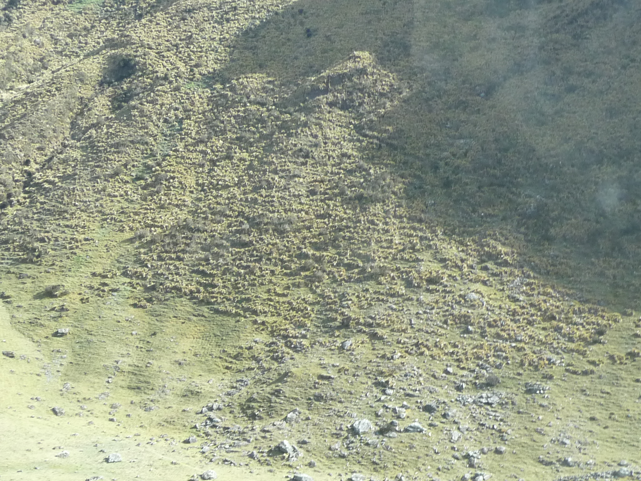
Looking across the valley at the interesting texture of the bushy plants growing there.
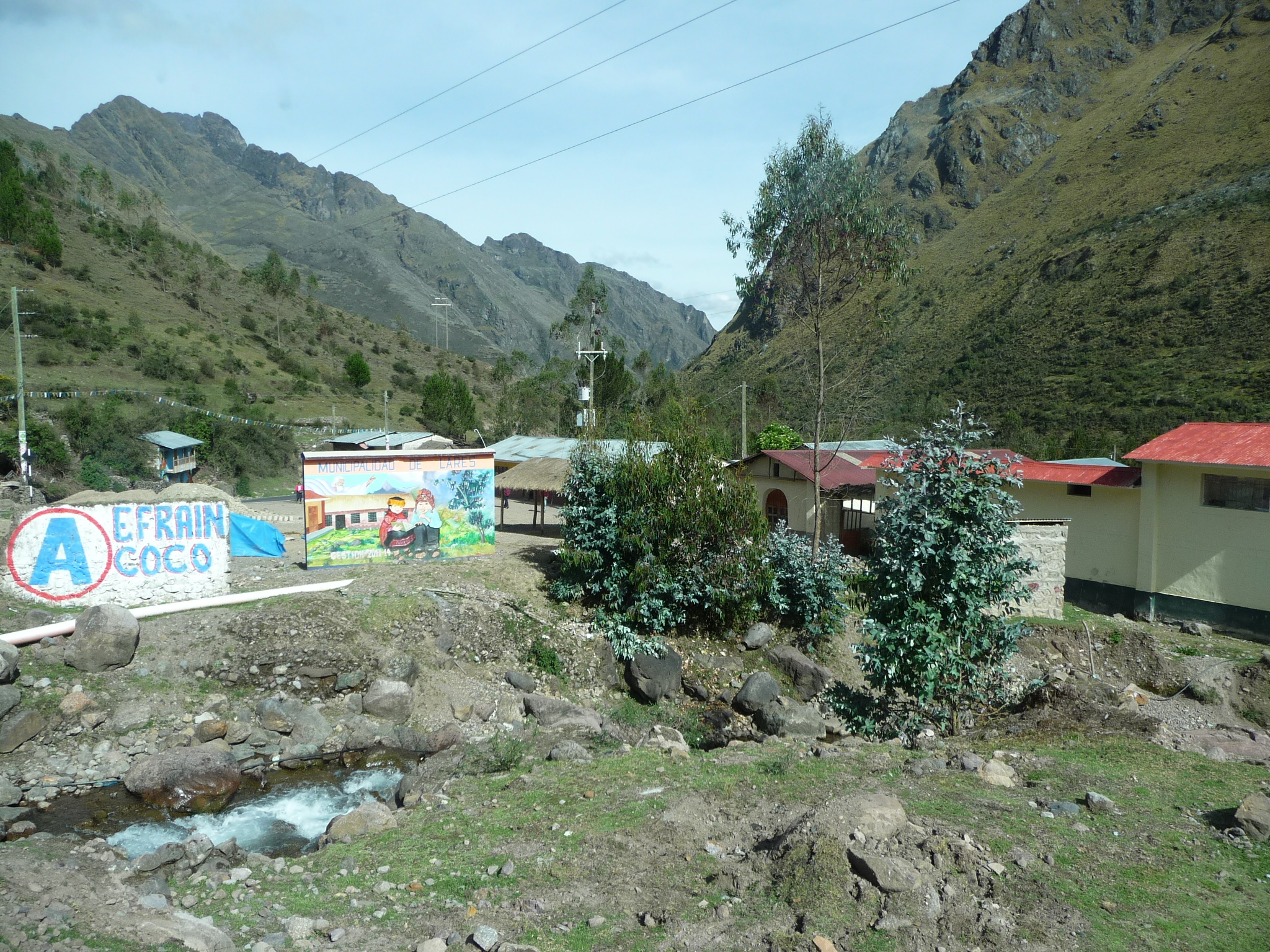
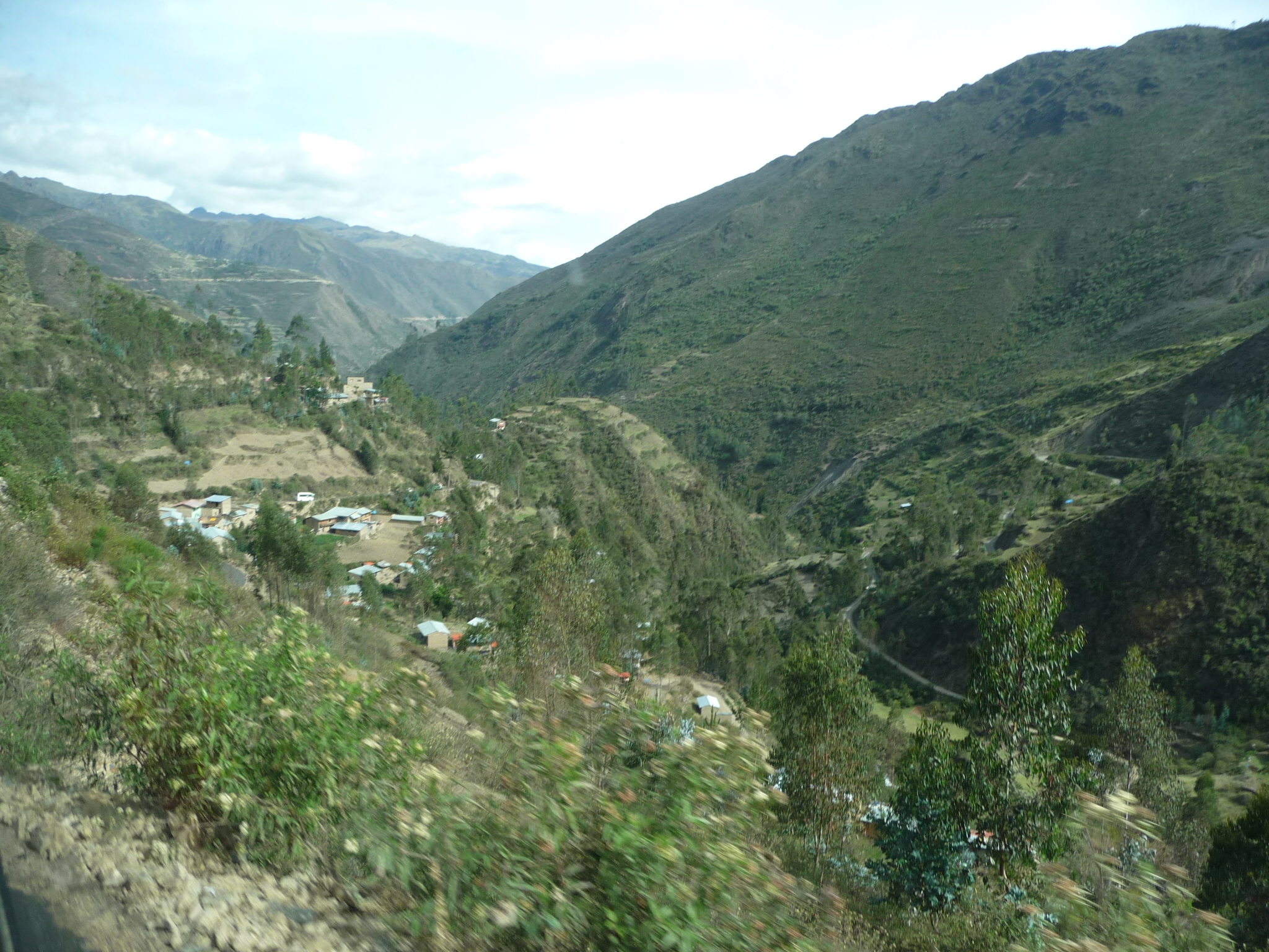
Eventually, we pass through a small town.
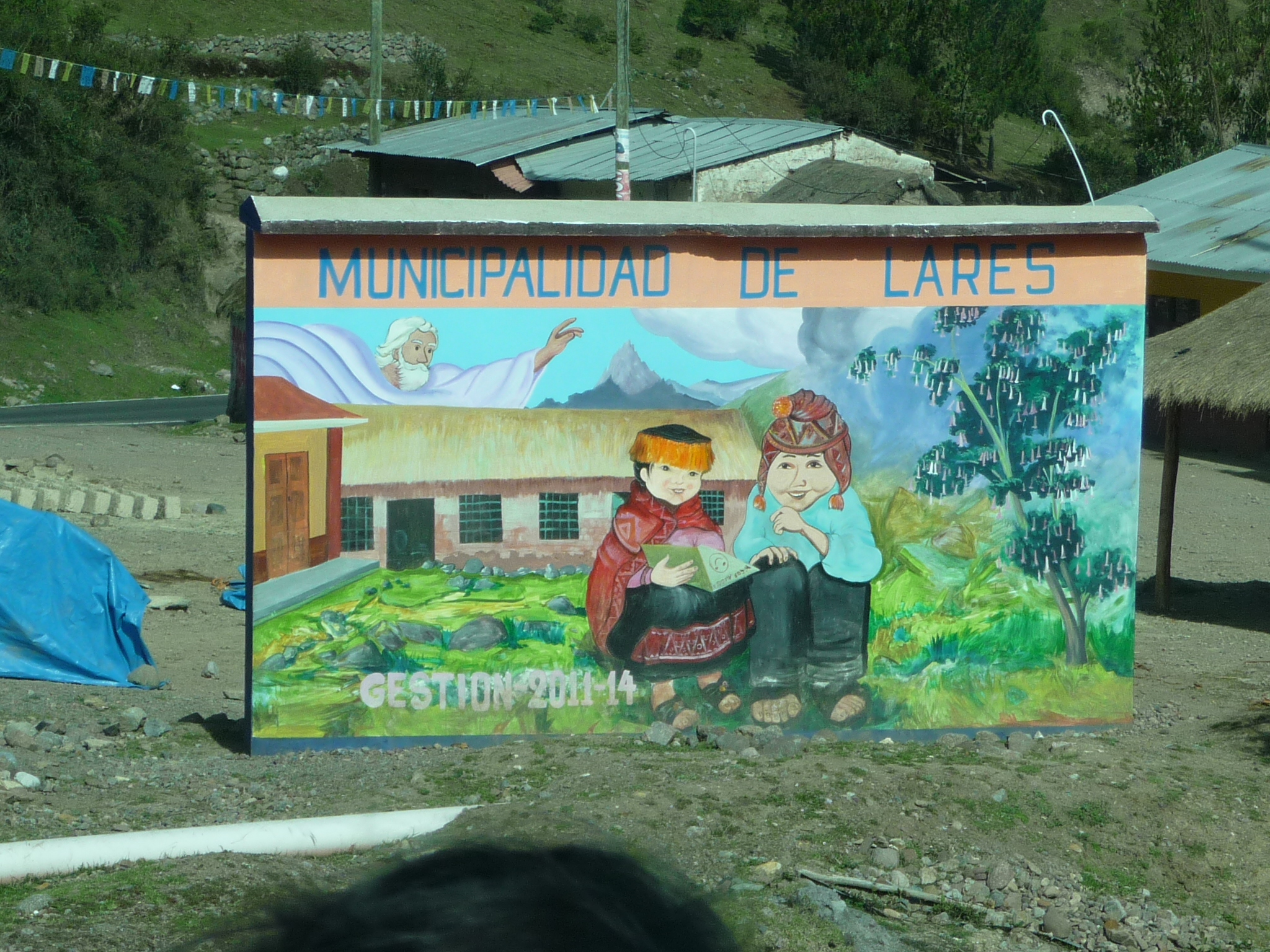
The sign reads “Municipality of Lares” … but here in peru, a municipality includes a larger area then just one town …
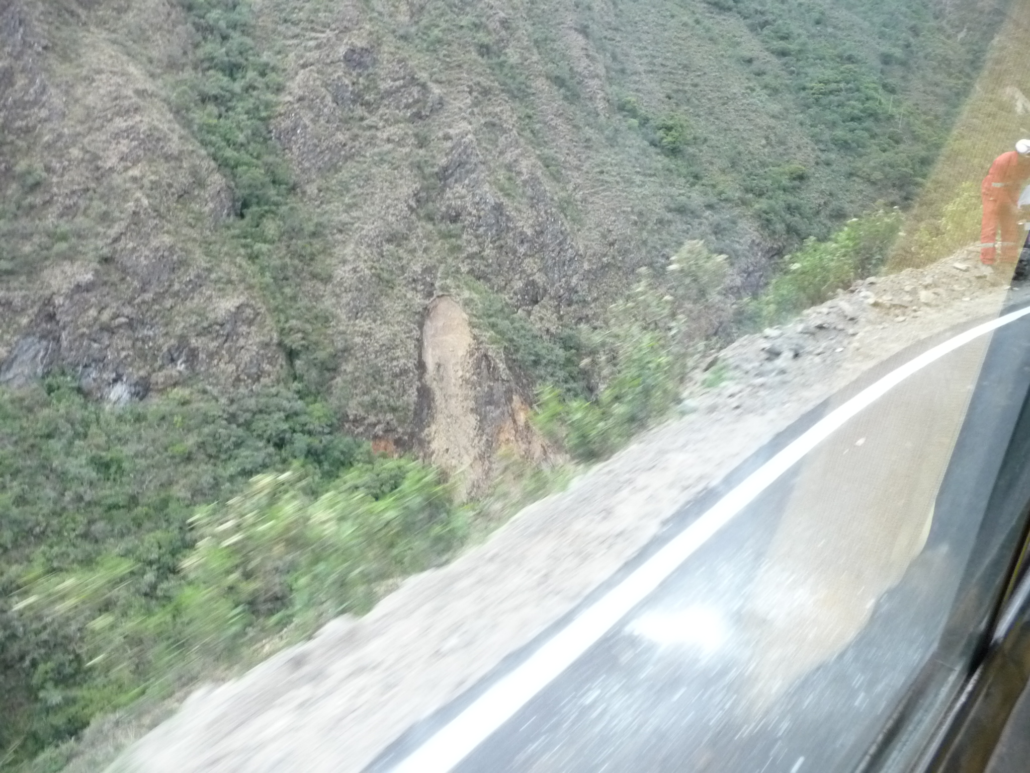
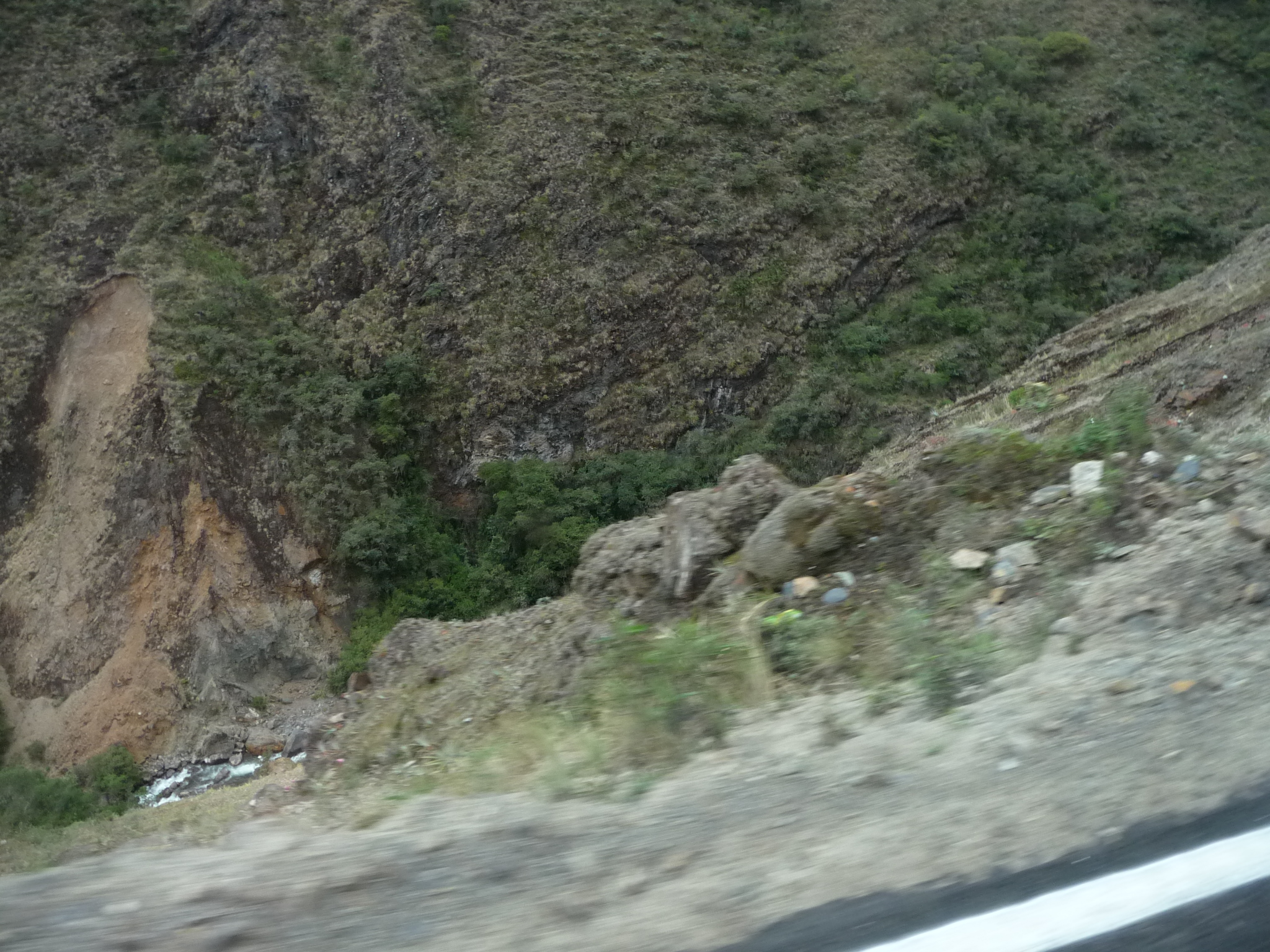
We continue down the valley, beginning to follow a little river. At times we are quite high above the river, on a narrow road, zooming around sharp curves with steep drop-offs to the river below.
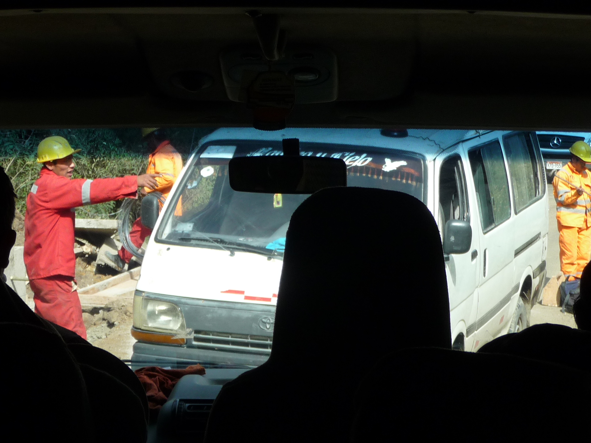
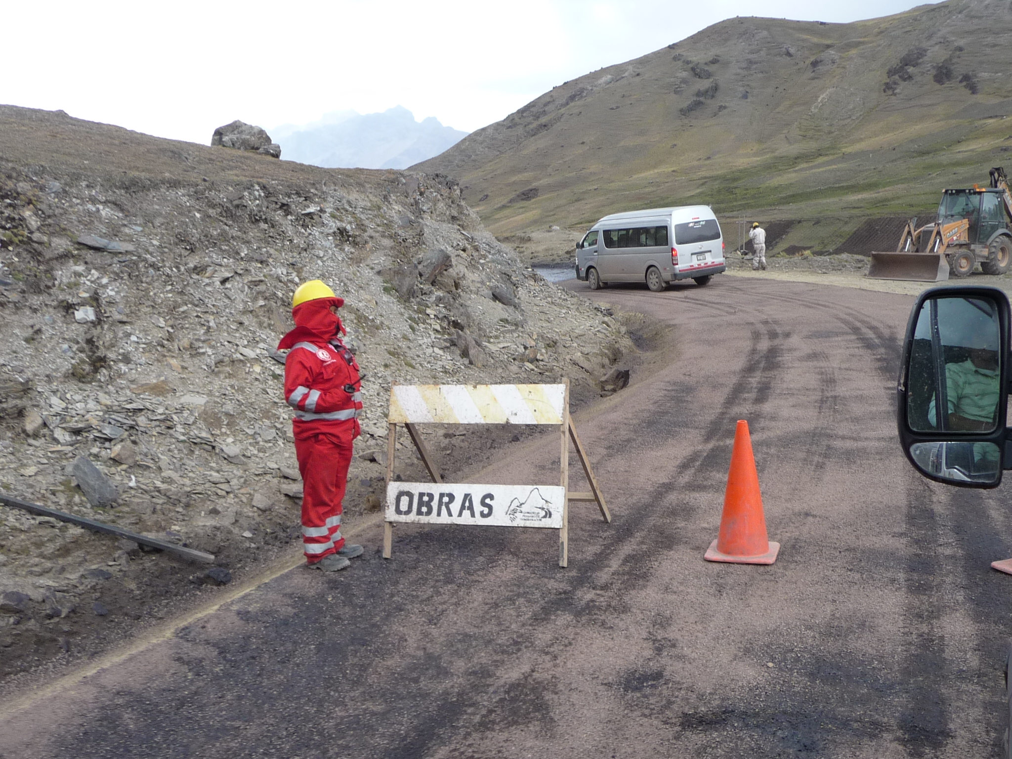
A fascinating delay … we were stopped on a narrow road that was hardly able to accommodate a passing vehicle, while construction equipment teetered by the edge, trying to maintain the road we are on.
A zoomed-in look at the distant valley below as we continue to wait for construction. We are actually quite high up on a cliff at the spot where we are waiting.
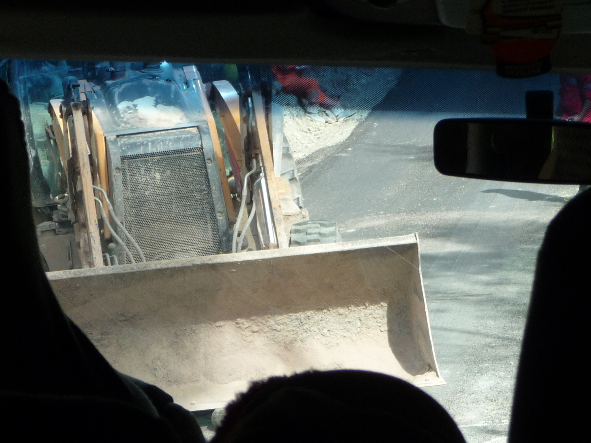
The road equipment finally backs away and gives us just barely enough room to pass by, with a steep drop on our right.
Taken just after passing through the construction. There is not much room for reckless driving on this road…
A little town coming up …
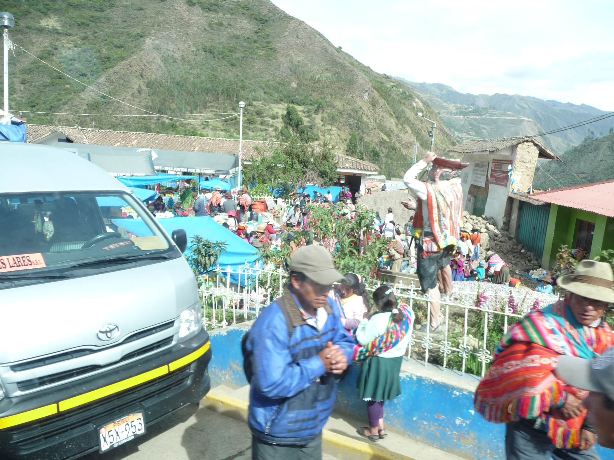
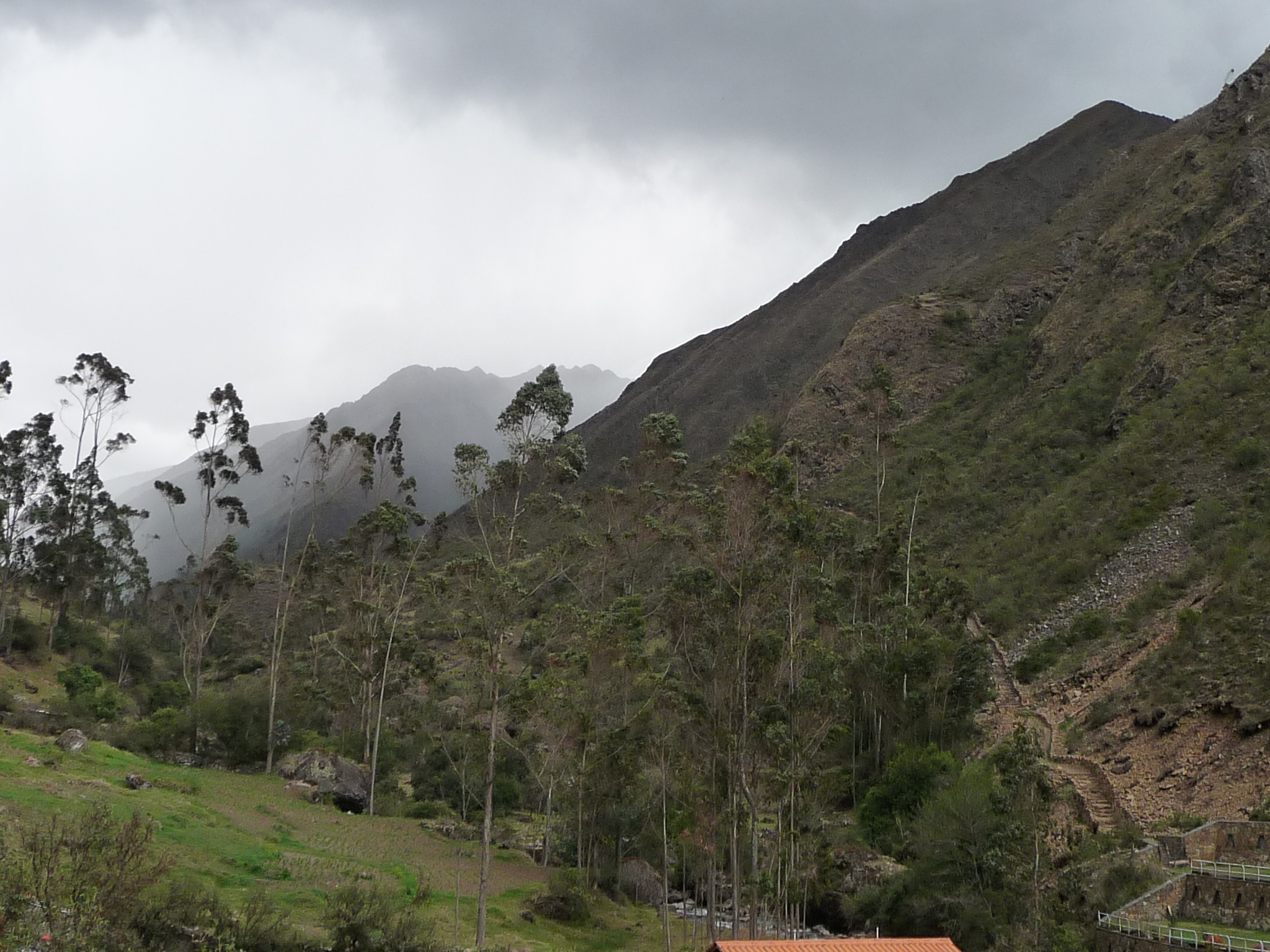
Finally, after more than two hours on these beautiful, narrow, mountain roads, and after climbing over a 14,635 foot mountain pass, we arrive in the little town of Lares. It is at about 10,500 feet above sea level.
It looks like we arriving on market day.
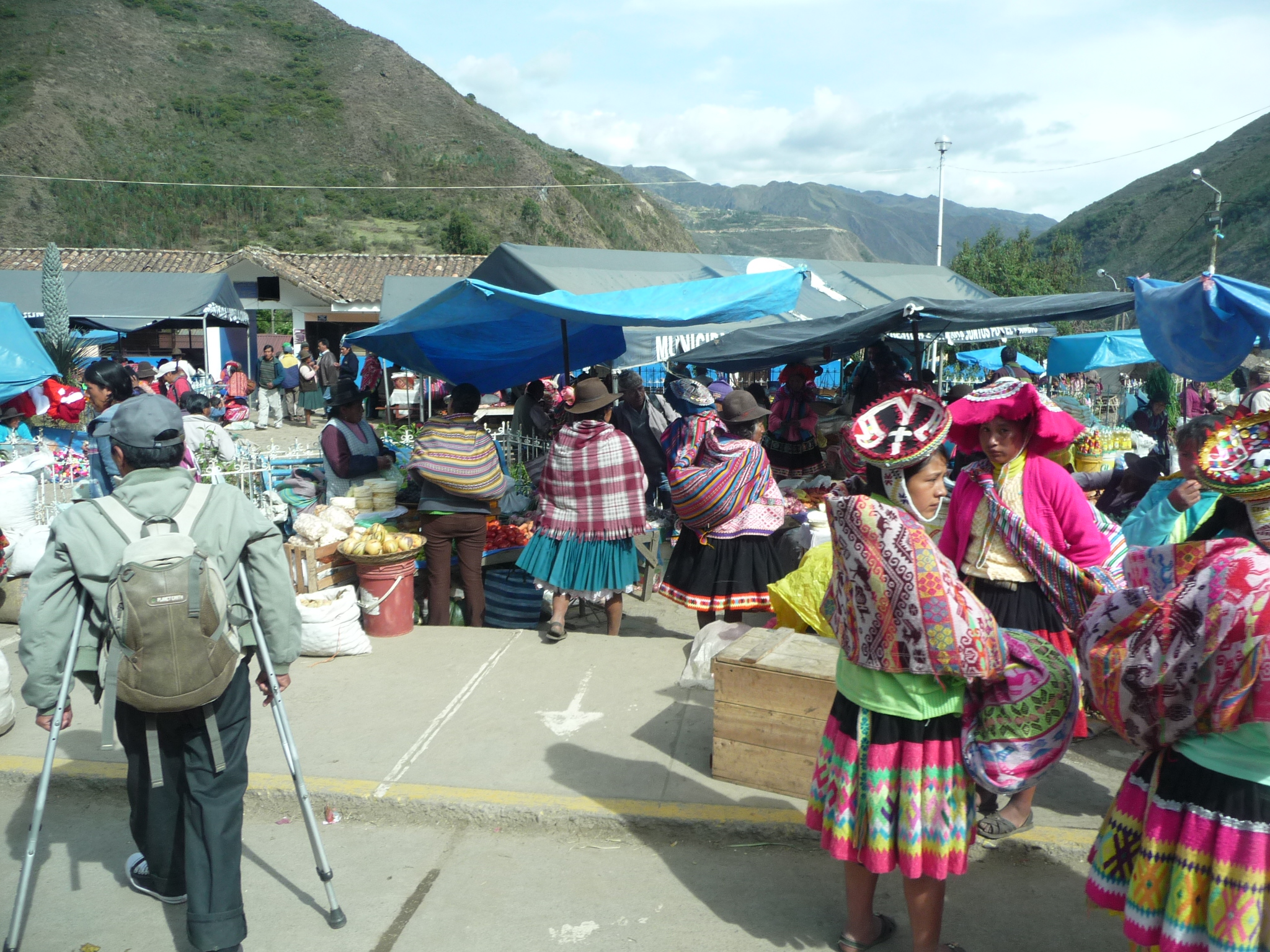
The local people are out shopping in the market. I love their beautiful traditional clothing.
Lares Day 1
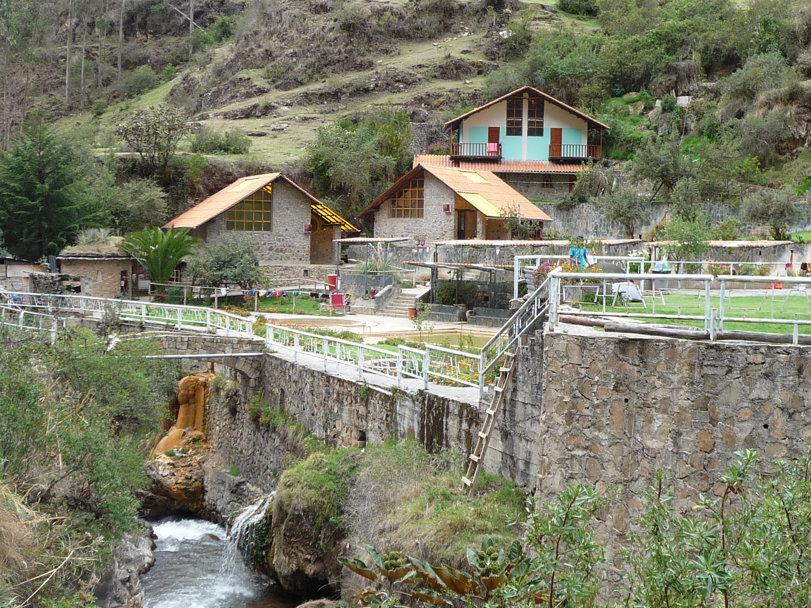
After arriving in Lares, Jeanette and I asked for directions and began walking up a dirt road that ascends a nearby canyon. After about 30 minutes we arrived at the hot springs area. When we saw a little hostel, we quickly checked in, only to discover that the place we had really intended to stay was just a little further ahead, inside the fence of the hot springs area. Reluctantly, we checked out of the first hostel, paid the woman a little extra for her trouble, and moved our belongings to our actual resting place for the next two nights.
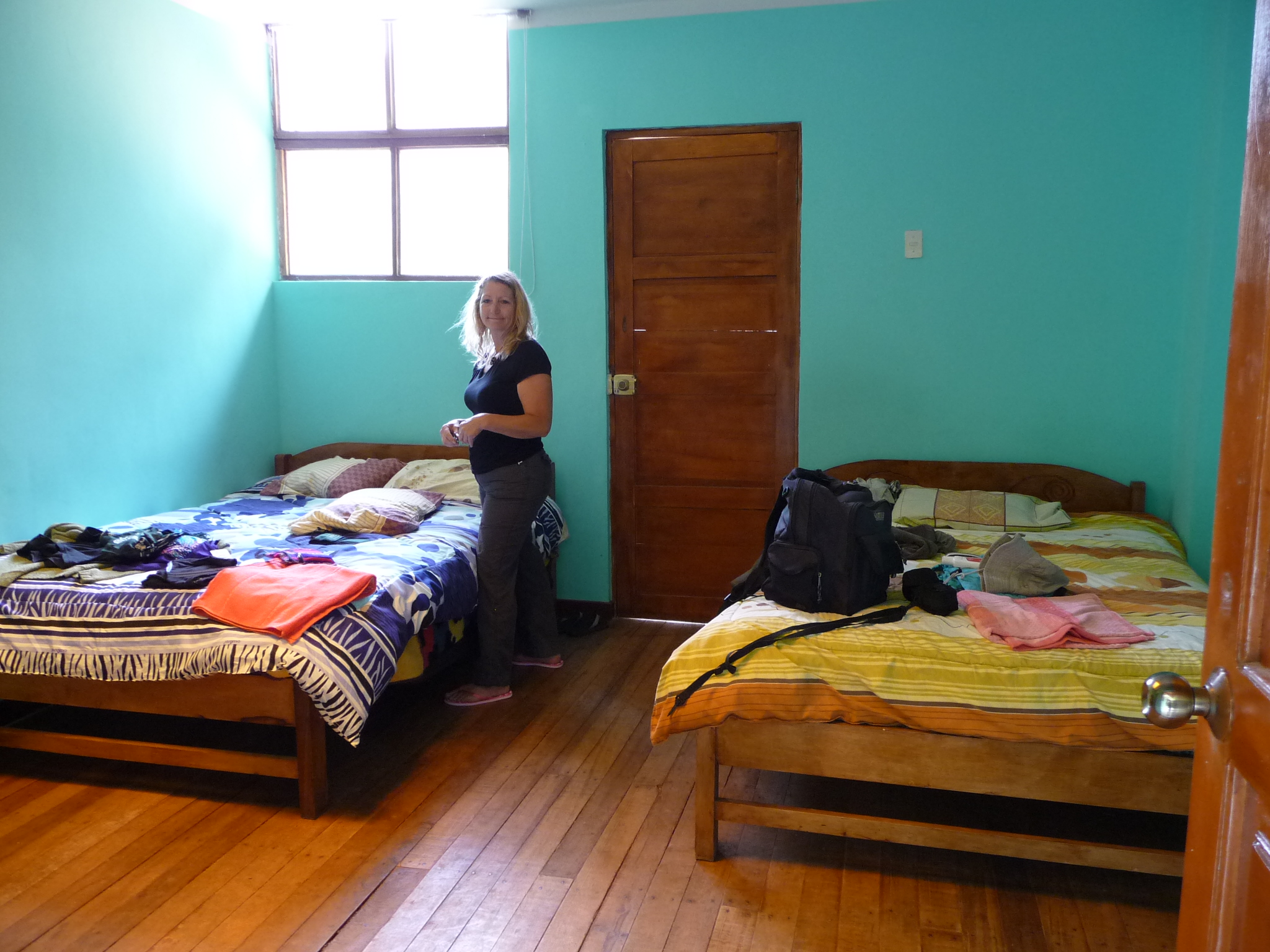
This is the inside of our room. It cost us a total of 50 soles per night (about $17 US).
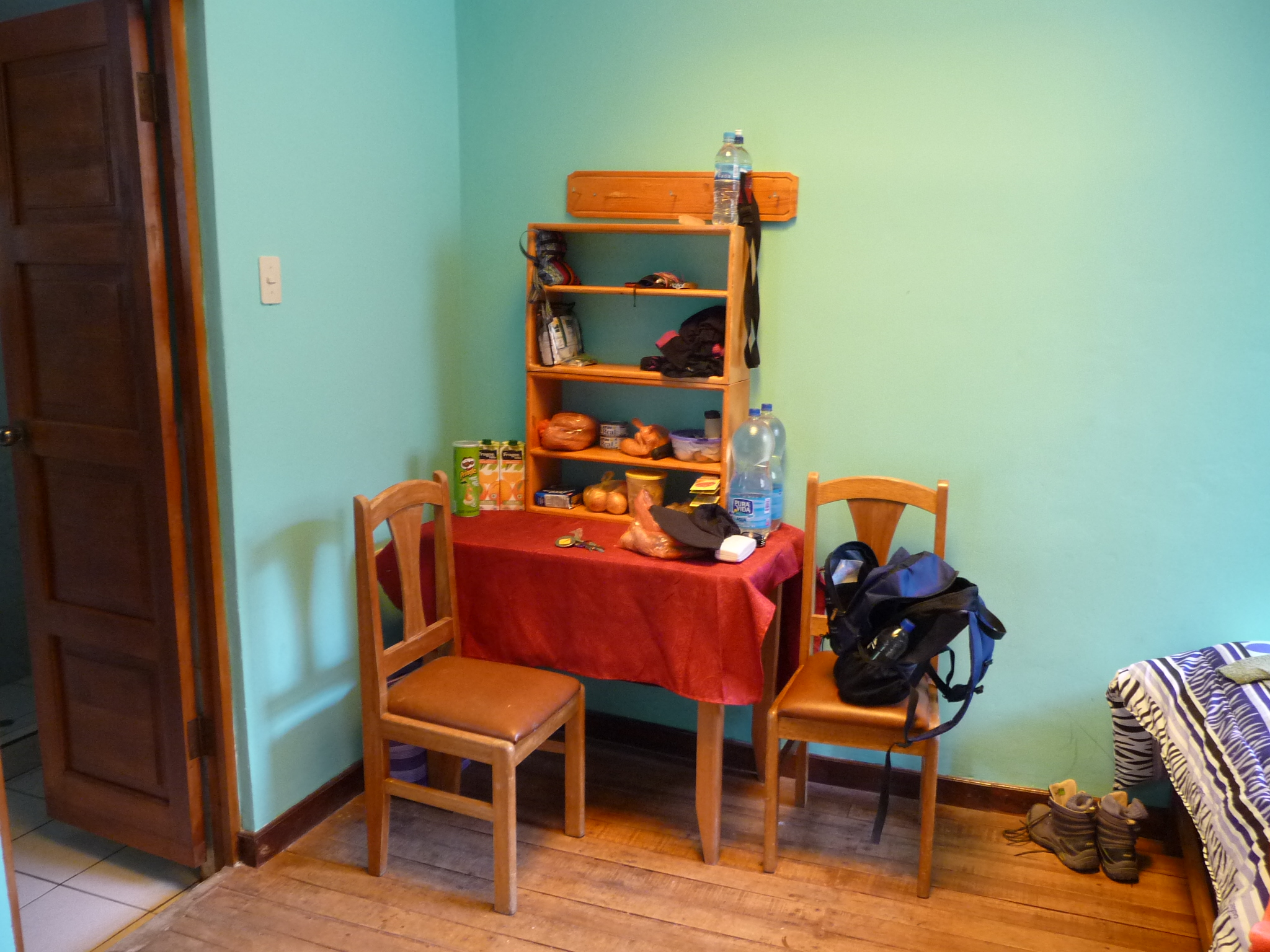
We brought all of our own food with us, and stored much of it on this convenient little table and shelf. Our bathroom is through that door on the left.
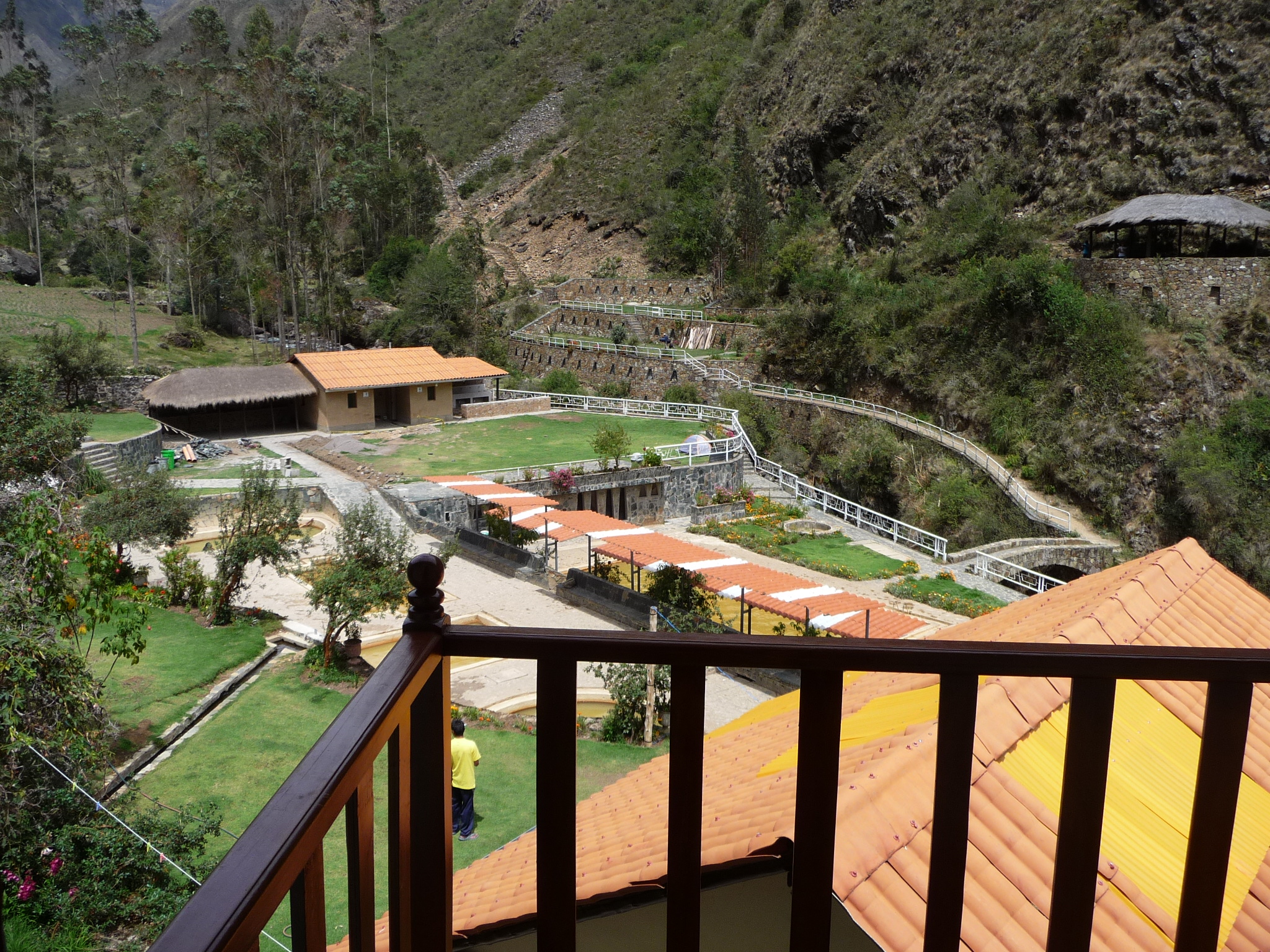
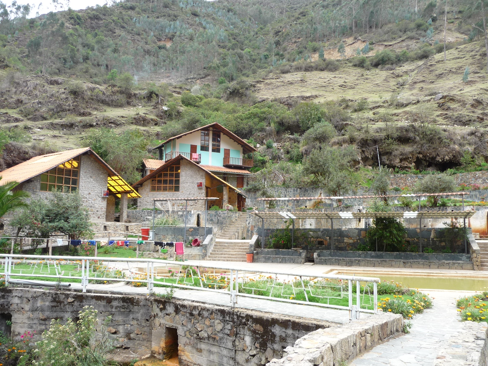
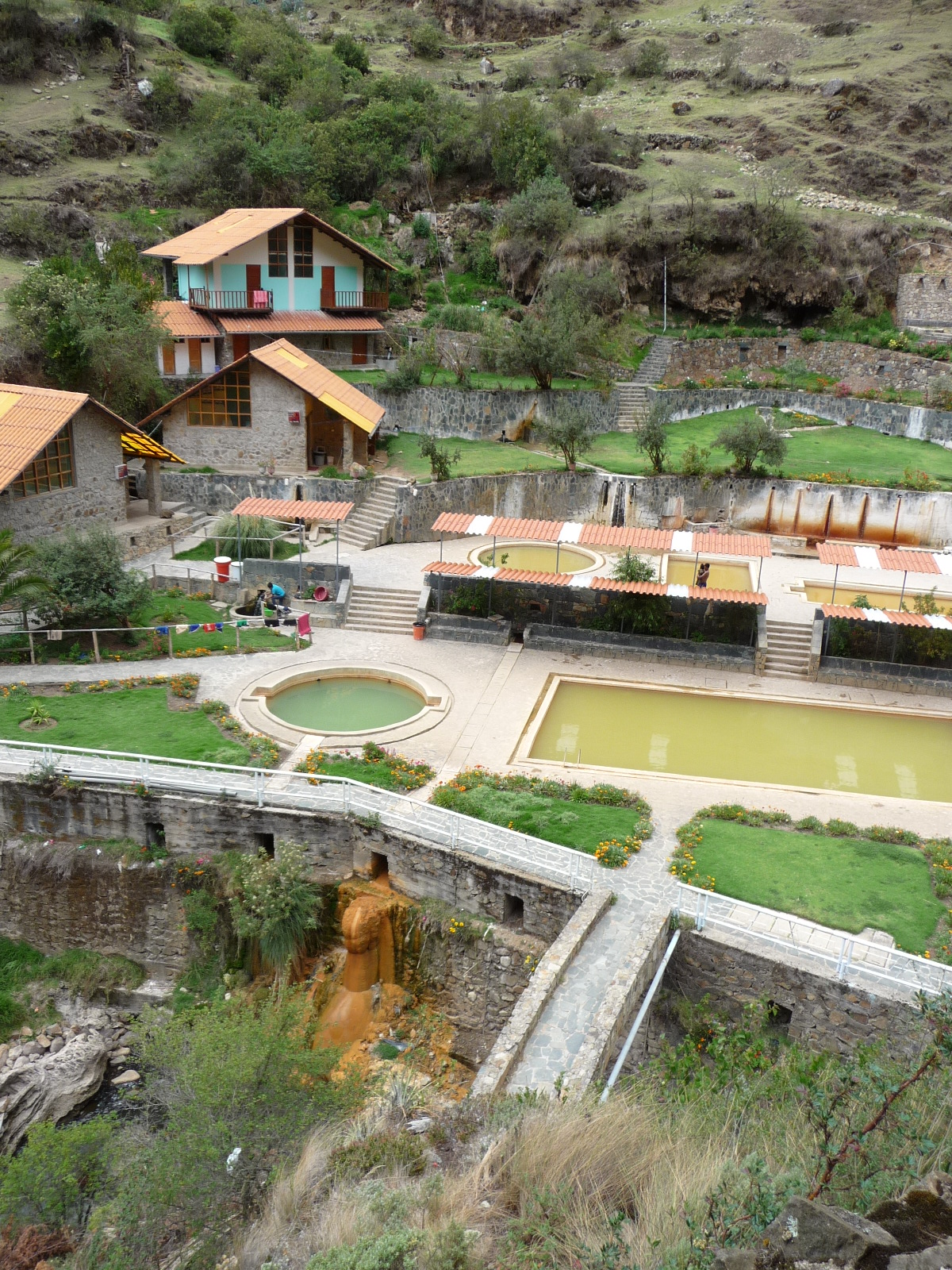
Our room has a balcony, and this is the view from that balcony. The hot springs are just below, in the center of the photo.
Looking from our balcony across the valley.
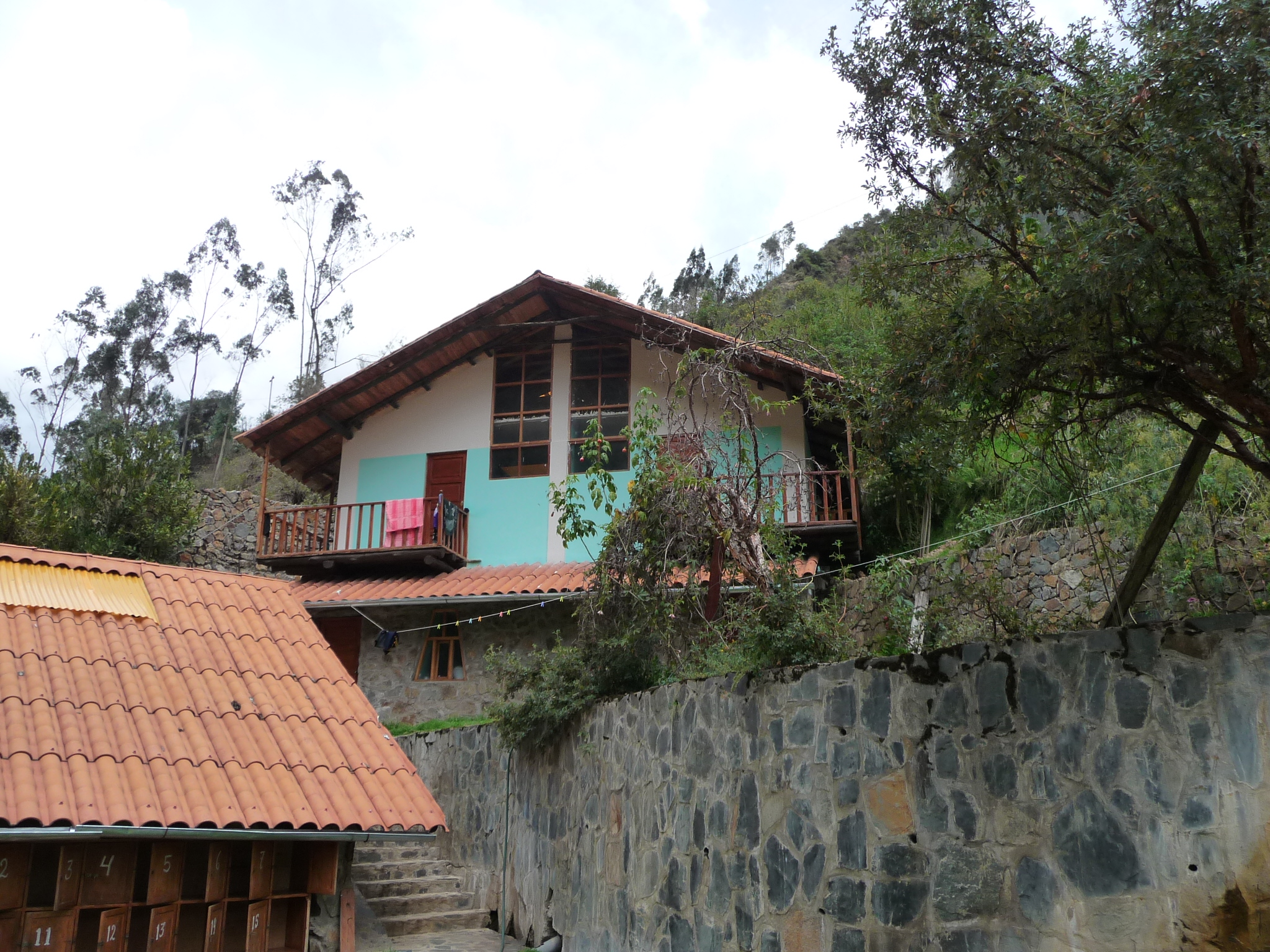
Looking at our room from down below. We are in the room with the balcony on the left, with the pink towel hanging on the railing.
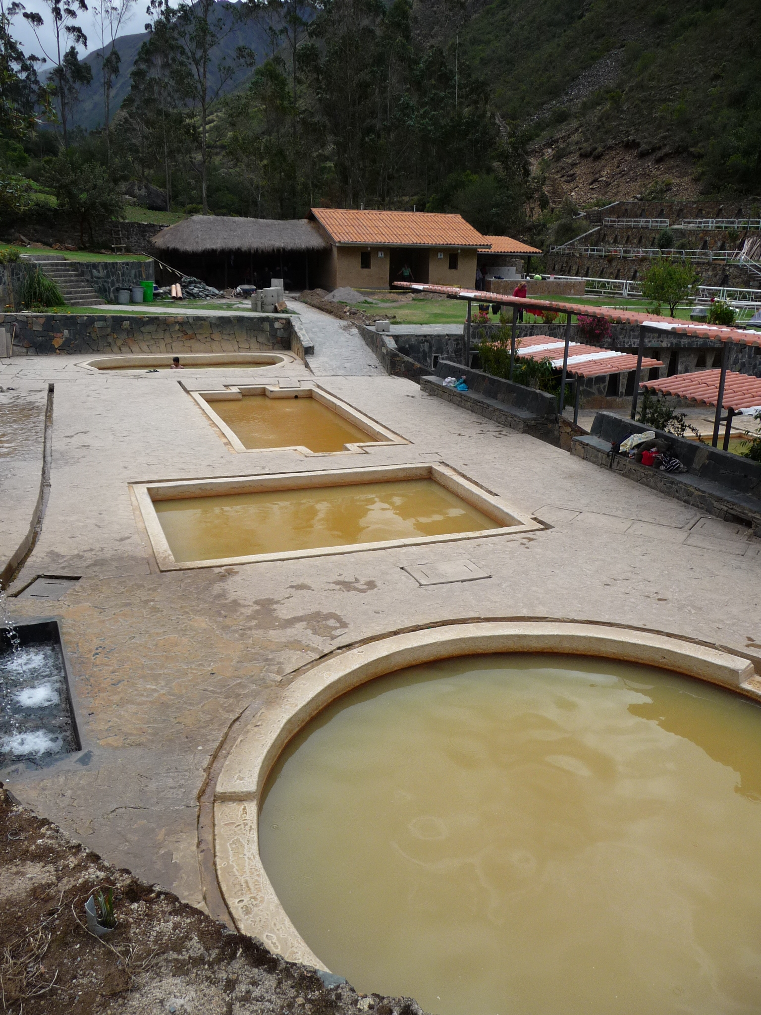
Looking down at a few of the hot springs pools. The water looks very dirty, but this is just the natural color of the spring water. The furthest pool is barely tolerable as far as heat. The middle two rectangular pools are extremely hot (I could not stay in them) … and the near round pool was just perfect for temperature.
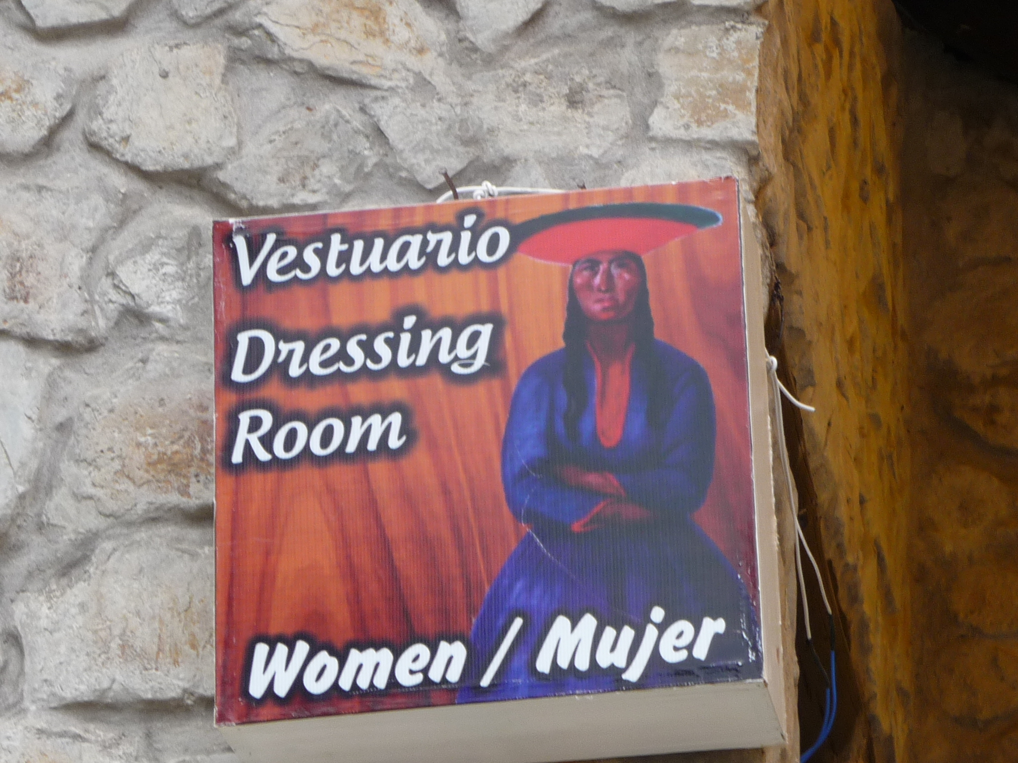
I thought that this sign on the women’s dressing room was quite unique. We didn’t need to use the dressing room because we had our own little hostel room inside the hot springs area.
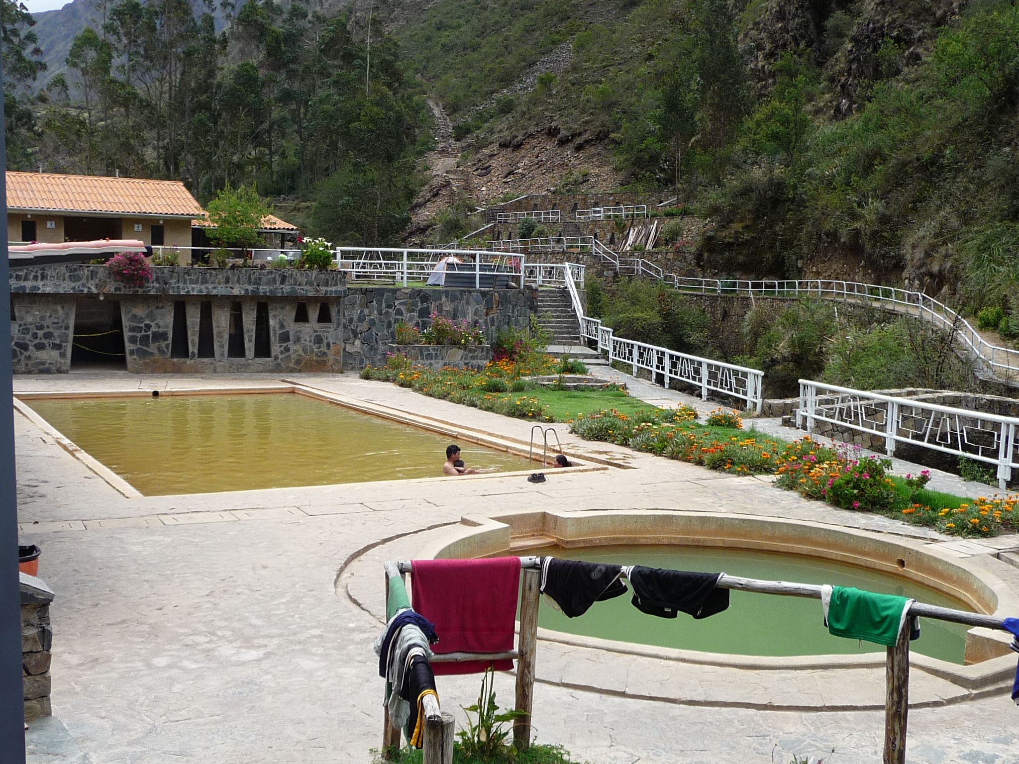
A look at the lower two pools. The near round one is cold, and the large rectangular pool was my favorite … warm temperature, but not too not.
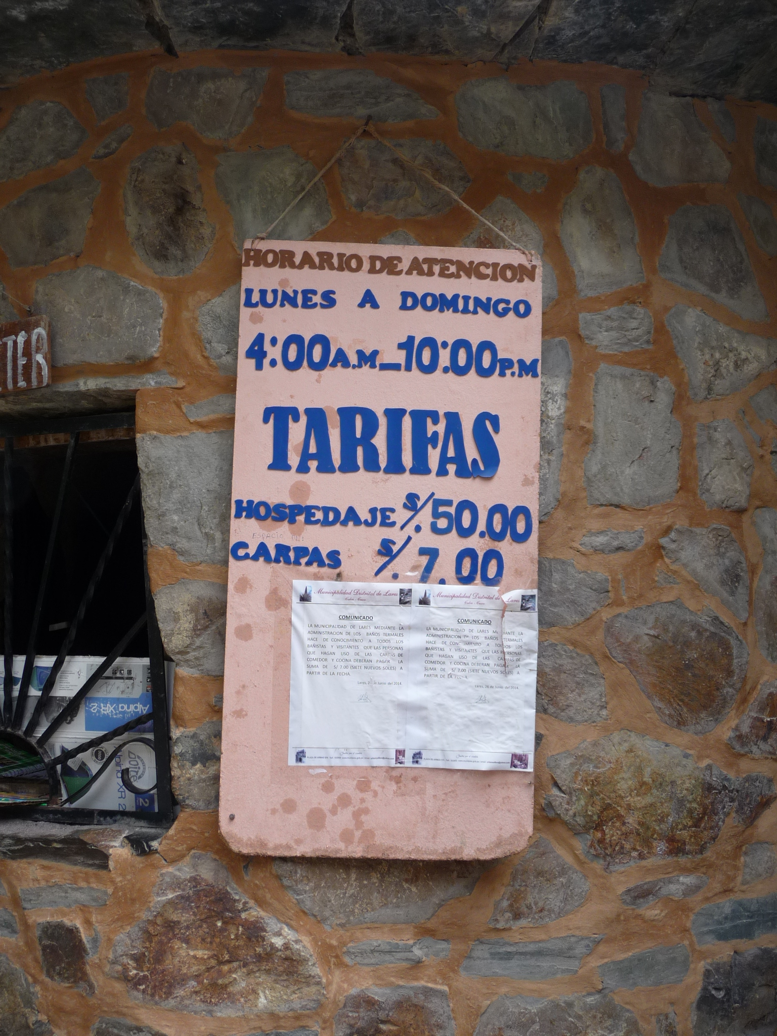
A sign by the entrance gate. The gate was operated by an older gentleman that had very poor eyesight. I had to help him change the date on his little ink stamp because he could not read the numbers. The sign says that rooms are 50 soles and camping is 7 soles. .. and that the gate is open from 4:00 am till 10 pm, from Monday to Sunday (7 days per week).
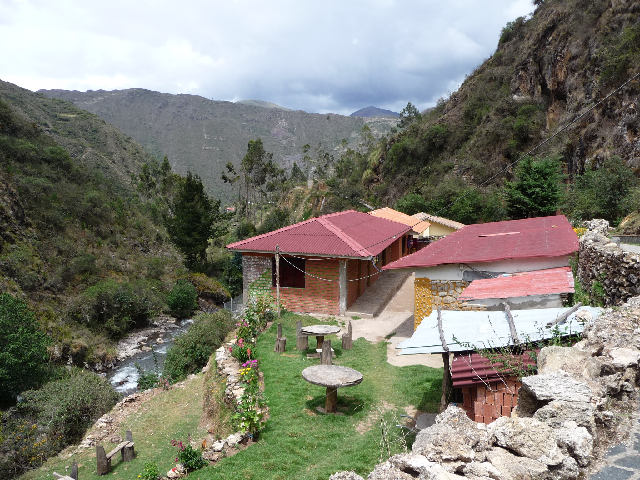
This is the first little hostel where we accidentally checked in for about a half hour. It is cute, but the rooms were dark and tiny. We love our new spot.

Beautiful patterns on a rock where the hot waters flows.
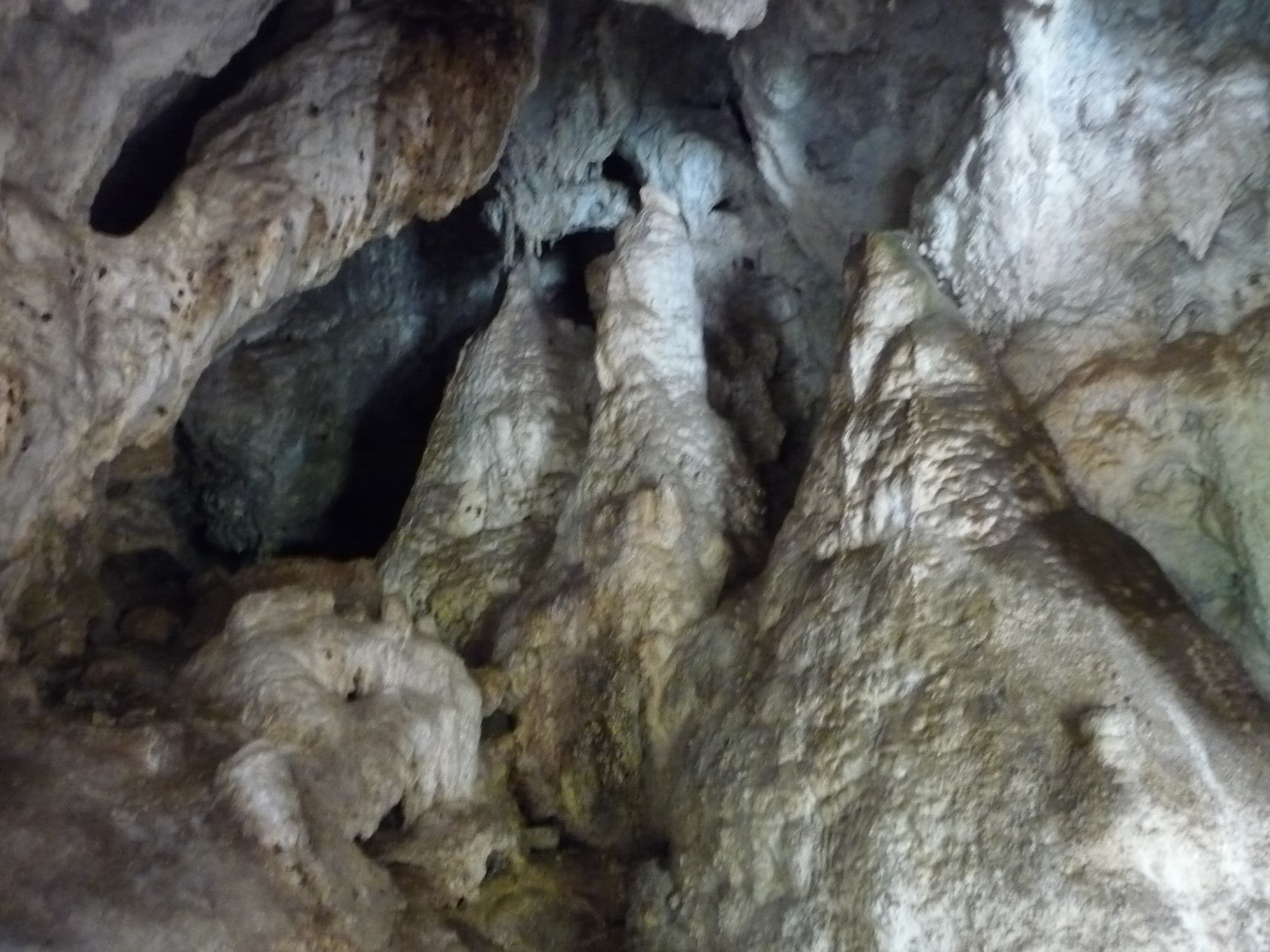
Inside a tiny cave just before the hot springs entrance.
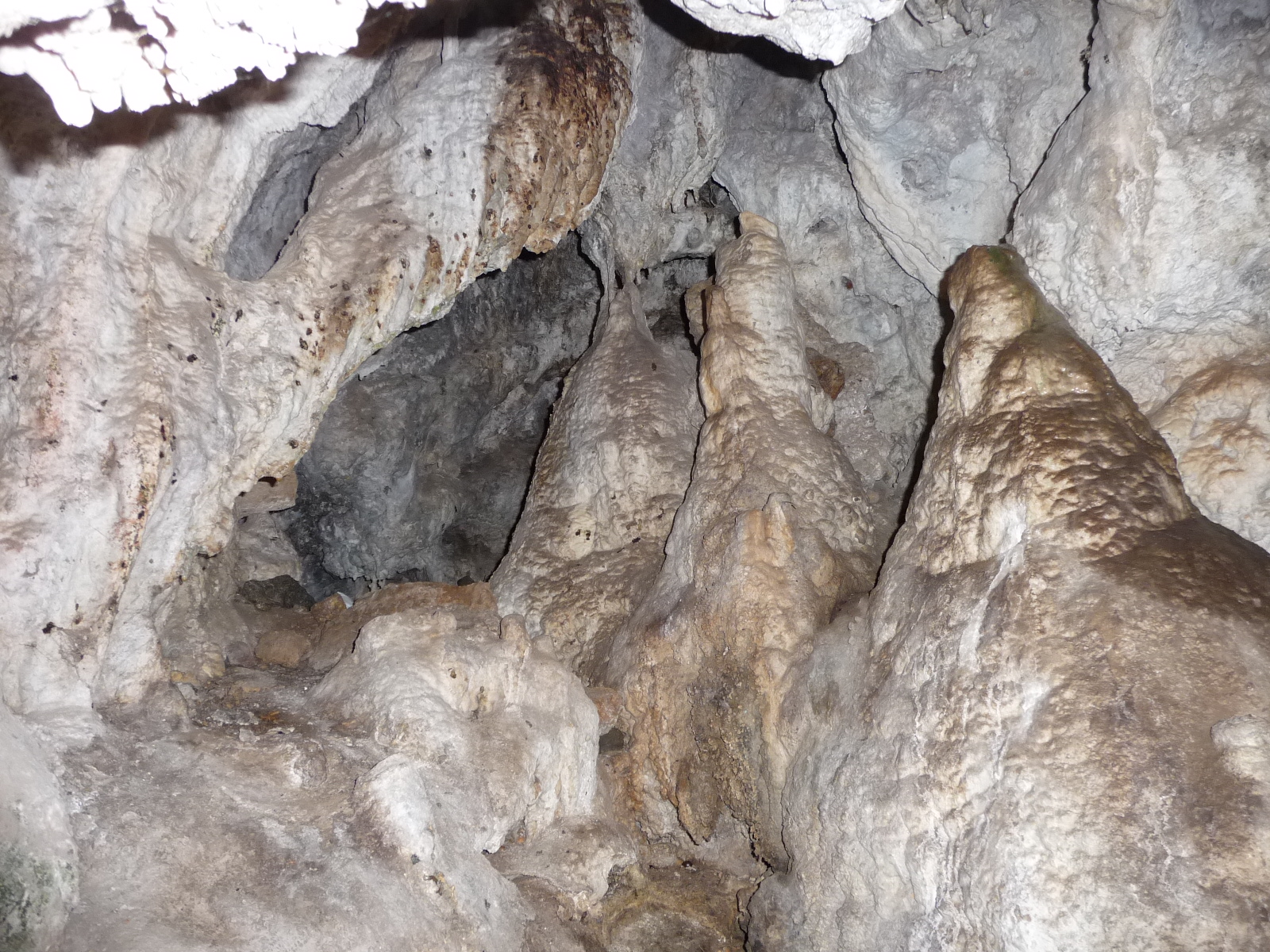
Another photo in the tiny cave.
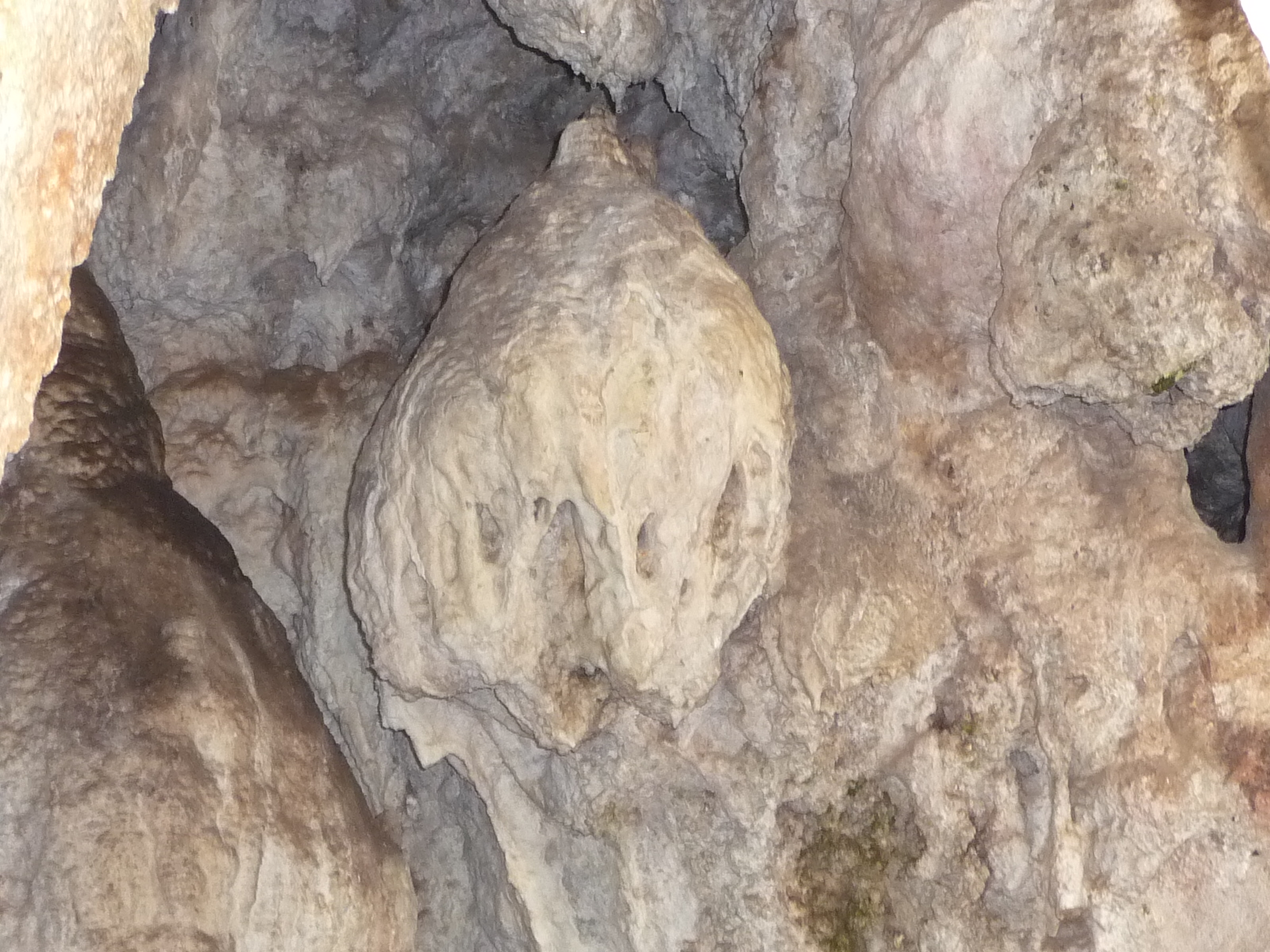
And another …
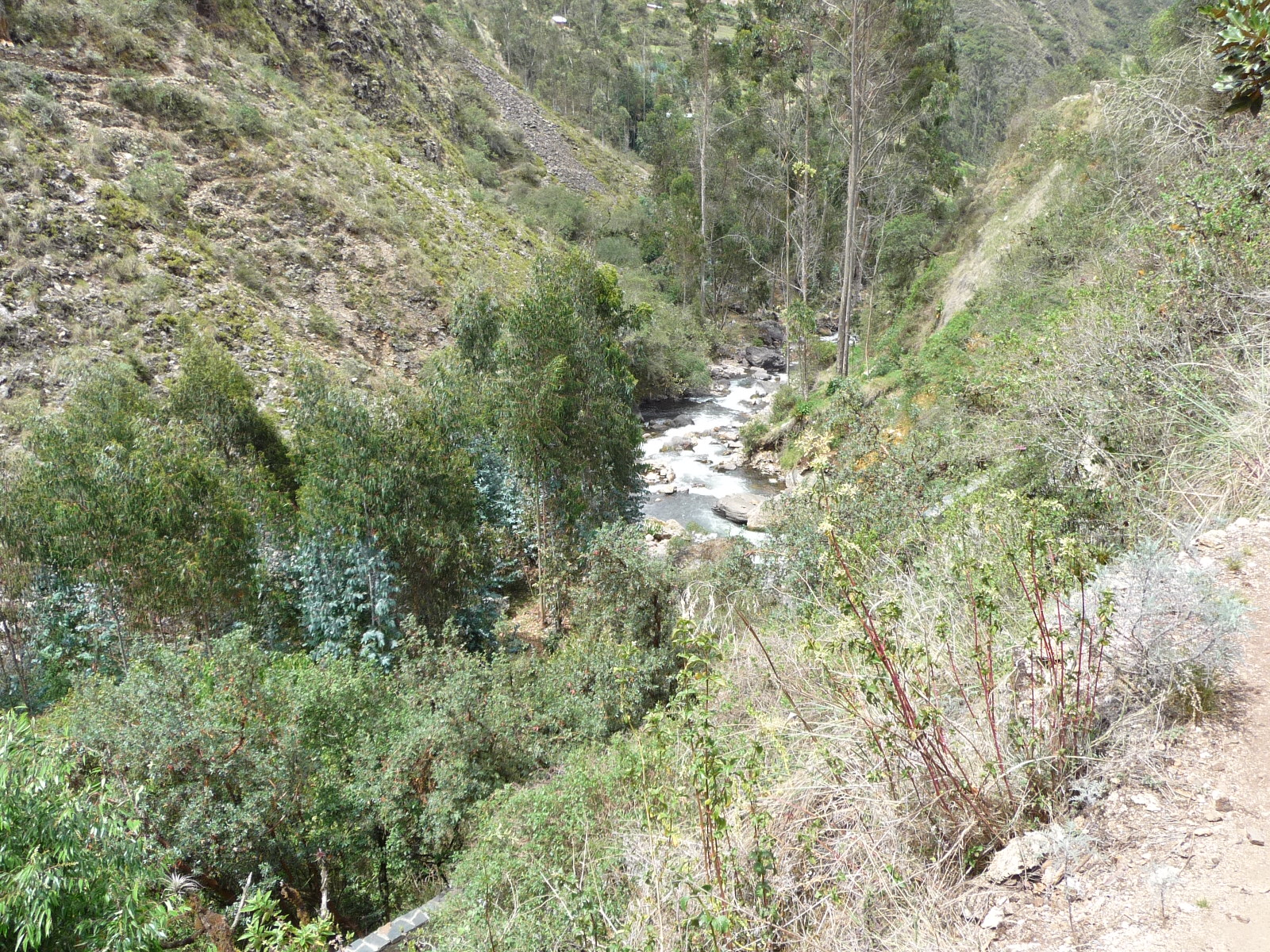
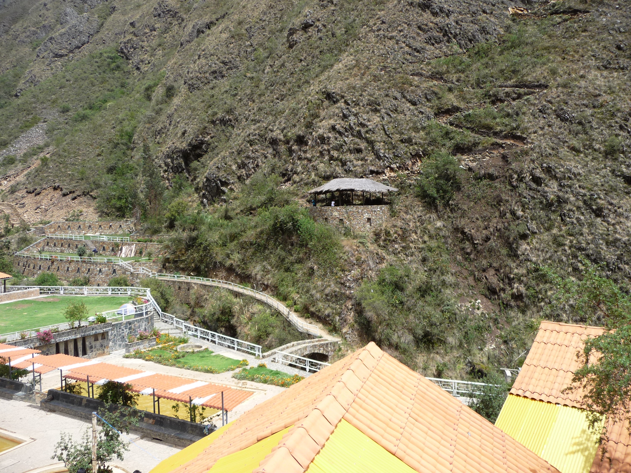
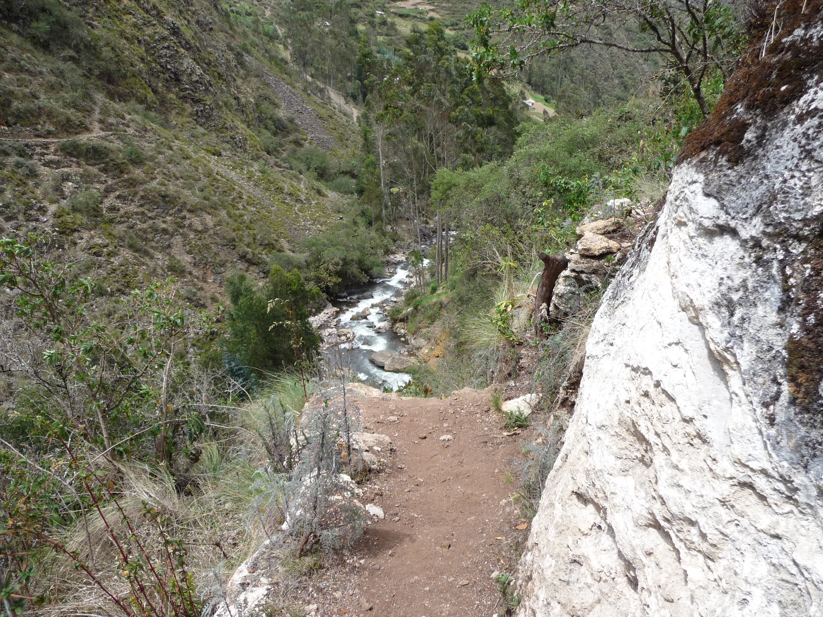
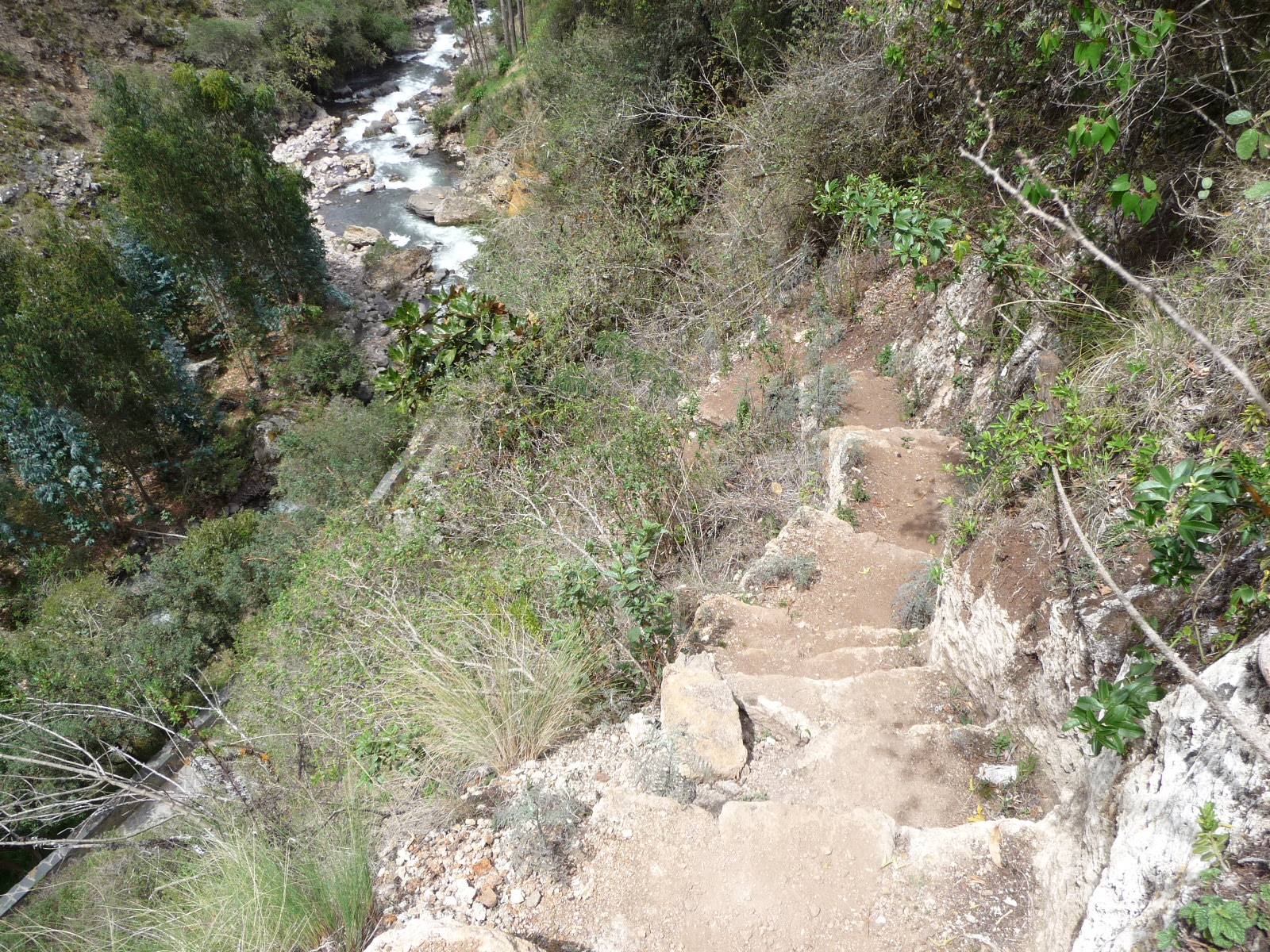
Looking down the canyon from near the cave entrance.
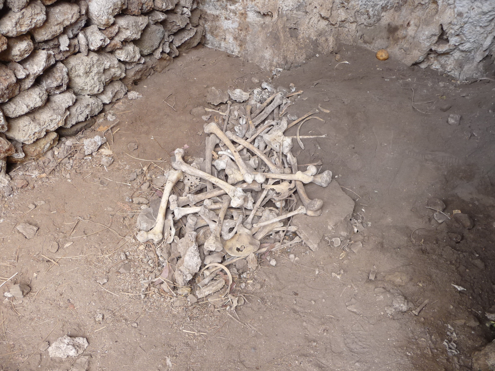
A pile of bones in a little rock area up on the side of the cliff. I hiked up there by myself and it was very treacherous. The lady at our hostel told us there was a mummy somewhere up here. I never found the mummy, and decided to turn around because the trail was too dangerous. It was a very loose dirt on the side of a very steep hill, with no proper hand holds.
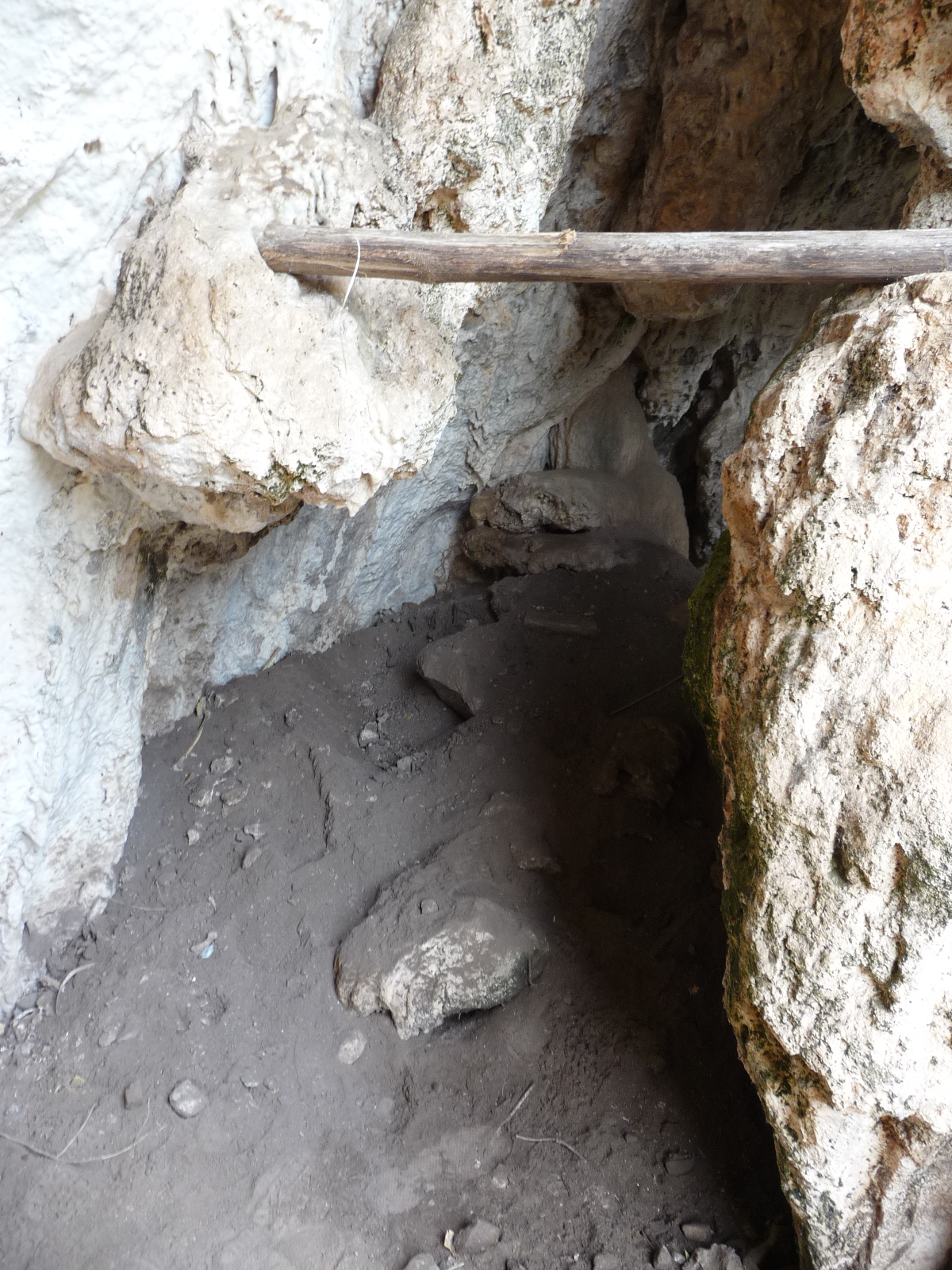
Looking inside one crevasse on my little solo hike.
Looking down on part of that trail. This is one of the better, more stable parts of the trail. The drop off on the left is very steep.
A less-maintained part of the trail, with very slippery loose dirt and rocks.
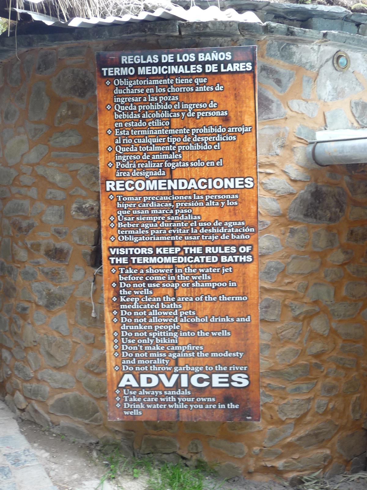
A sign inside the hot springs. I thought the translations were interesting. I especially like the “use only bikini” rule. I can only imagine the men wearing a bikini.
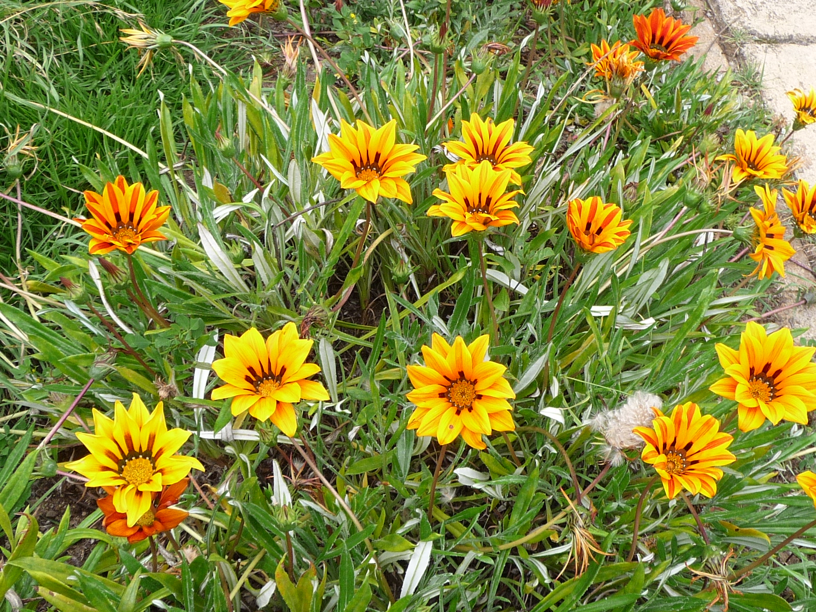
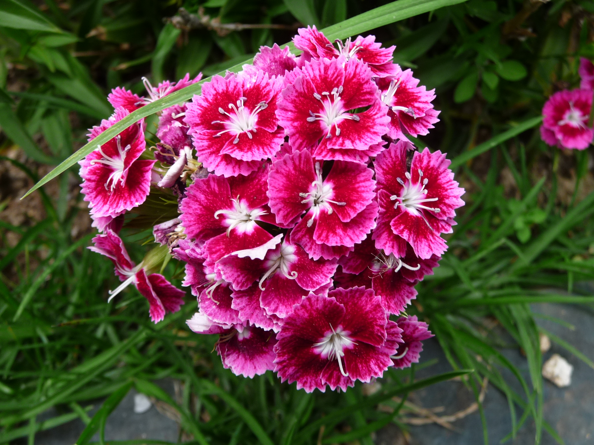
Beautiful flowers around the inside of the hot springs area.

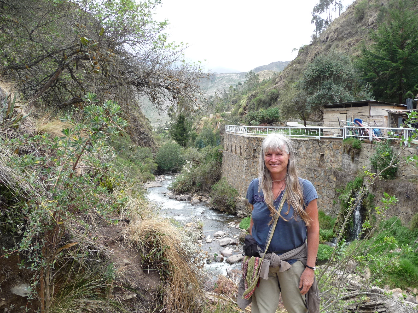
By the lower pools, looking over the edge at the river flowing down from above.
From the same location, looking back up toward our room high above.
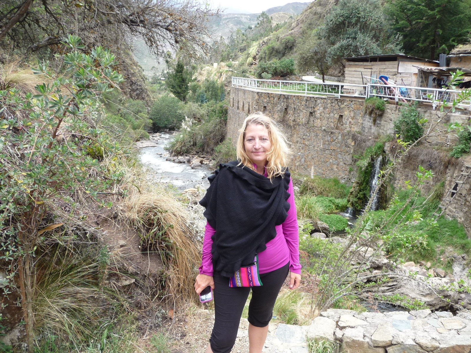
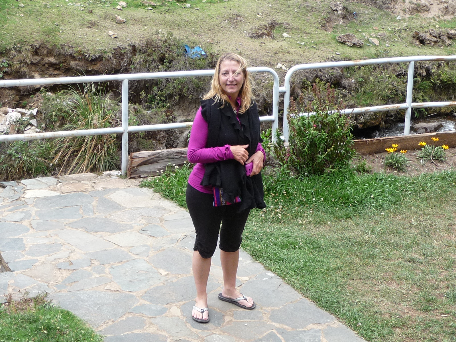
Jeanette, standing on the other side of the river.

And a photo of me, also on the other side of the river.
Yet another one of me.
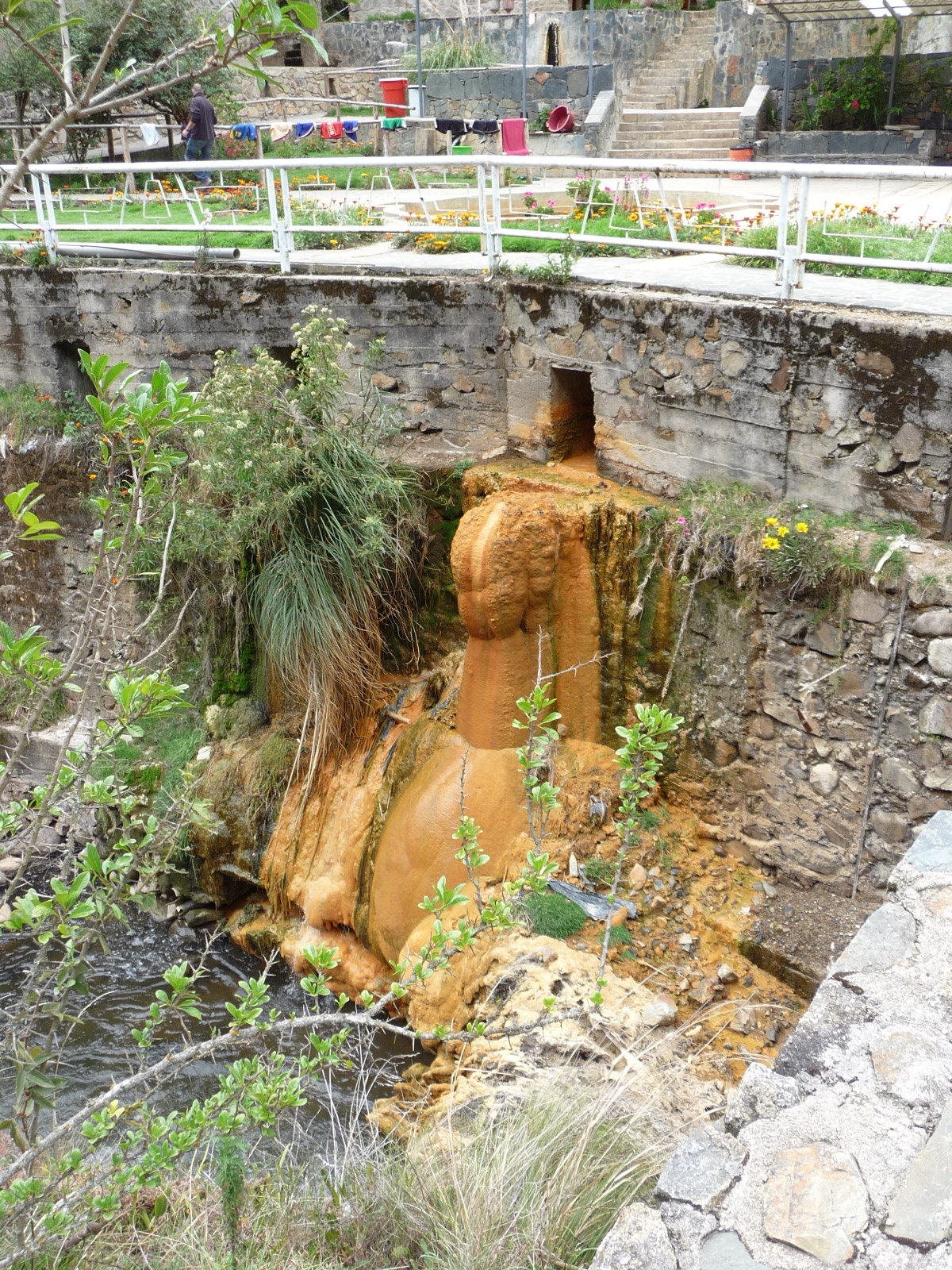
A limestone stalagmite formed where the hot spring water empties into the river below.
Looking upstream along the river.
With lots of zoom, looking back toward our room as seen from the river.
Jeanette, enjoying the beautiful mountain scenery.
Looking down at the hot springs area from a higher vantage point on the other side … using lots of zoom.
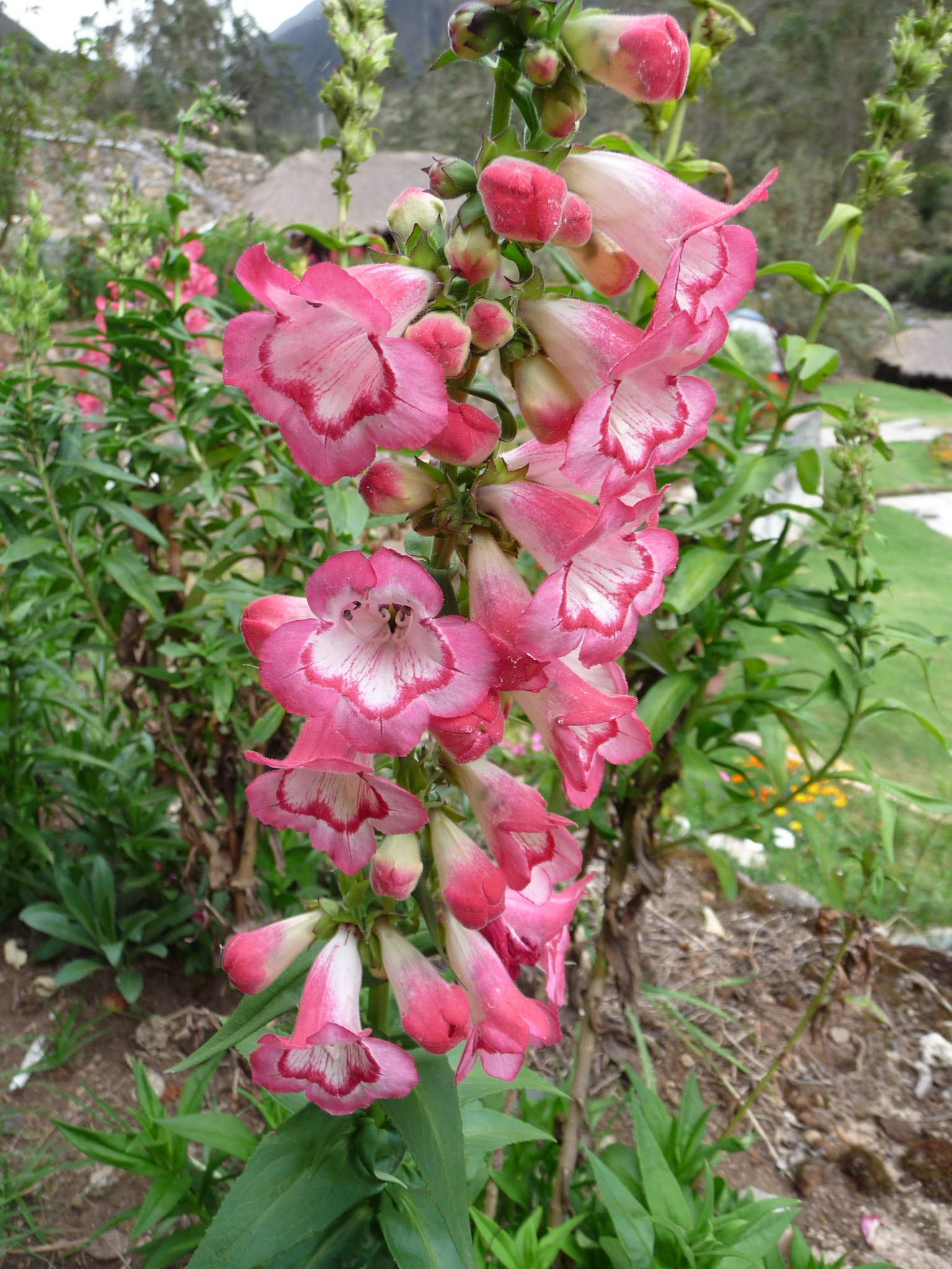
More beautiful flowers in the area.
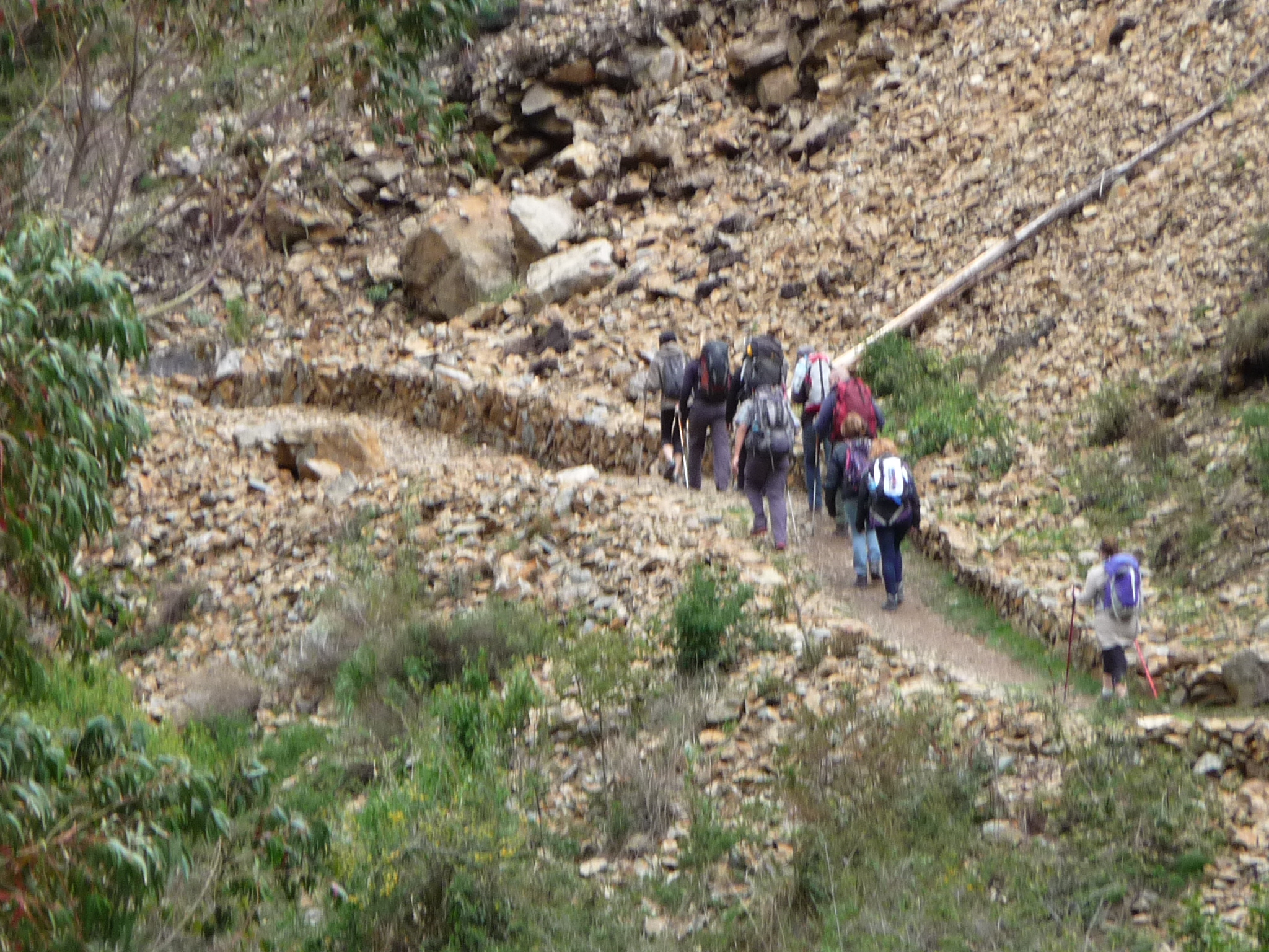
A group of hikers leaving Lares Hot Springs on their way toward Machu Picchu. They were hiking right into a massive rainstorm.
During our time at Lares, we saw several such groups begin hiking on this trail. This is not the main Inca Trail … but is a popular hike across the Andes mountains … a hike enjoyed by trekkers that cannot afford the Inca Trail, or who did not reserve in advance … a hike that ends up somewhere in the Urubamba area on the other side of the mountains. From there, they are transported to Machu Picchu like normal tourists.
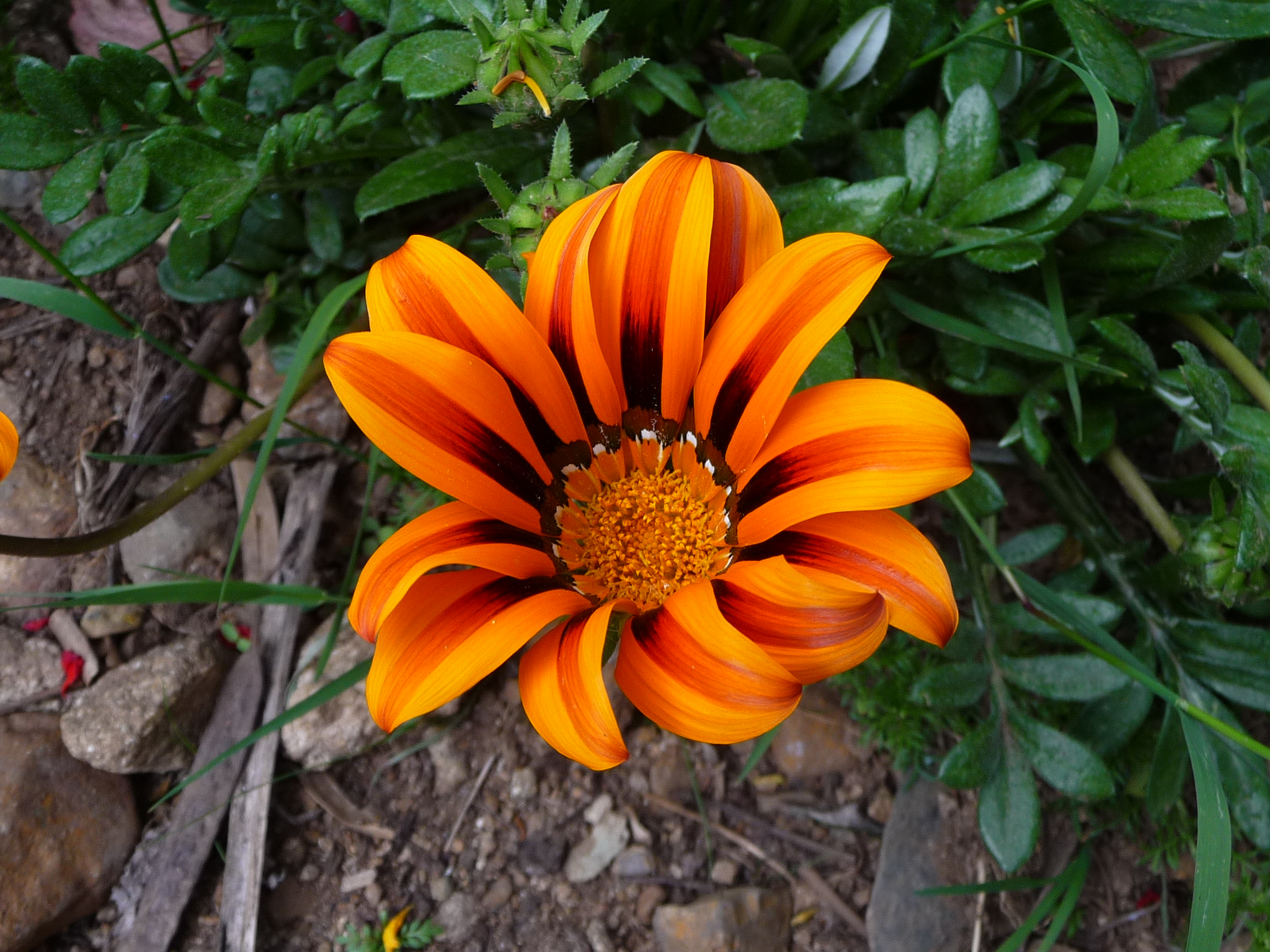
More gorgeous flowers around the hot springs.
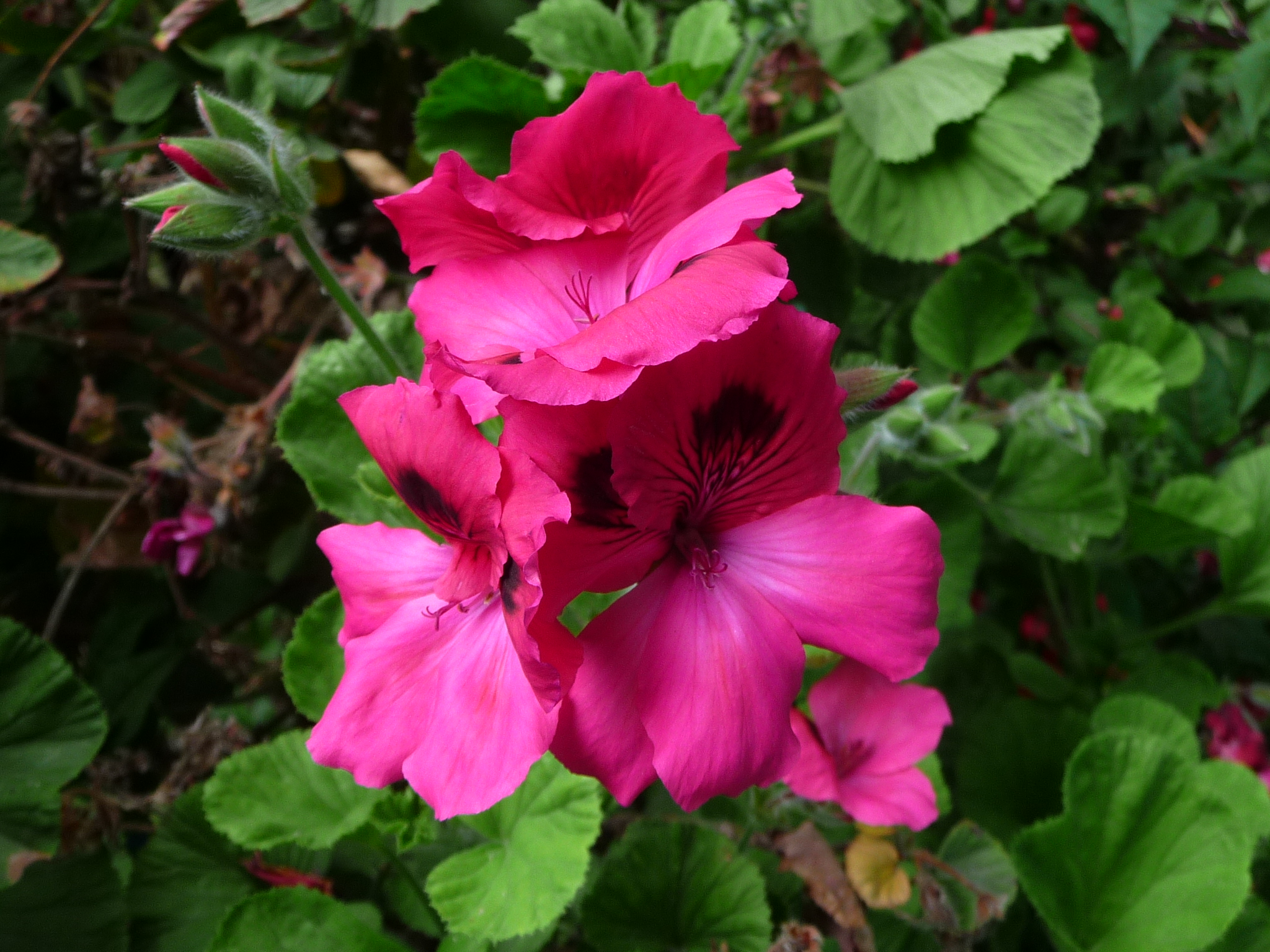
And more flowers….
I love these …
This is a view of the storm that those hikers were walking into. I was very grateful that I was not walking into those clouds. There was lots of thunder and lightning for a while.
Lares Day 2
After our first night in Lares, we hiked back to the town to meet our friend Maria who was going to join us for our second night. She ended up renting the other room right next to us.
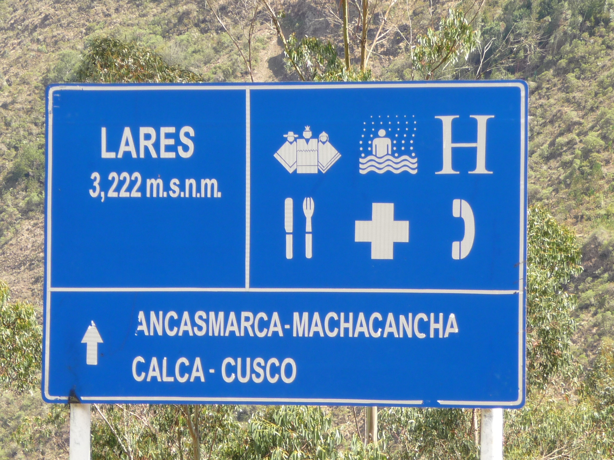
While in town, I saw this sign saying that Lares (the town part) is at 3,222 meters above sea level, or 10,570 feet above sea level. I am guessing that the hot springs area is closer to 11, 500 feet above sea level.

One of the small streets in the town of Lares.

And another.
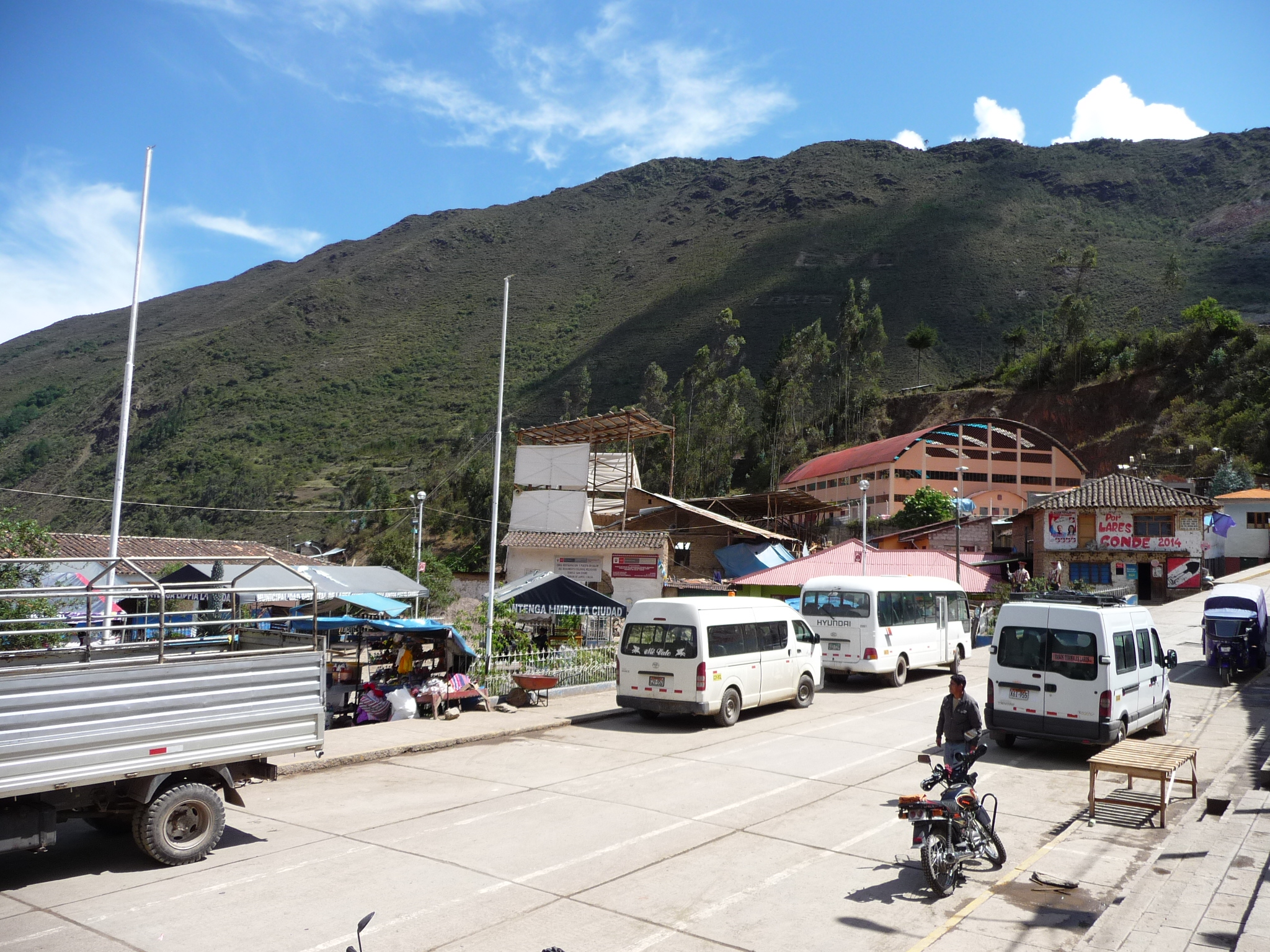
The main town center area of Lares. This is where the market was yesterday. Today, there are only a few miscellaneous vendors, none of them selling the fruits and vegetables we had hoped to find.
A different view in the center of town. That building on the left is the government offices.
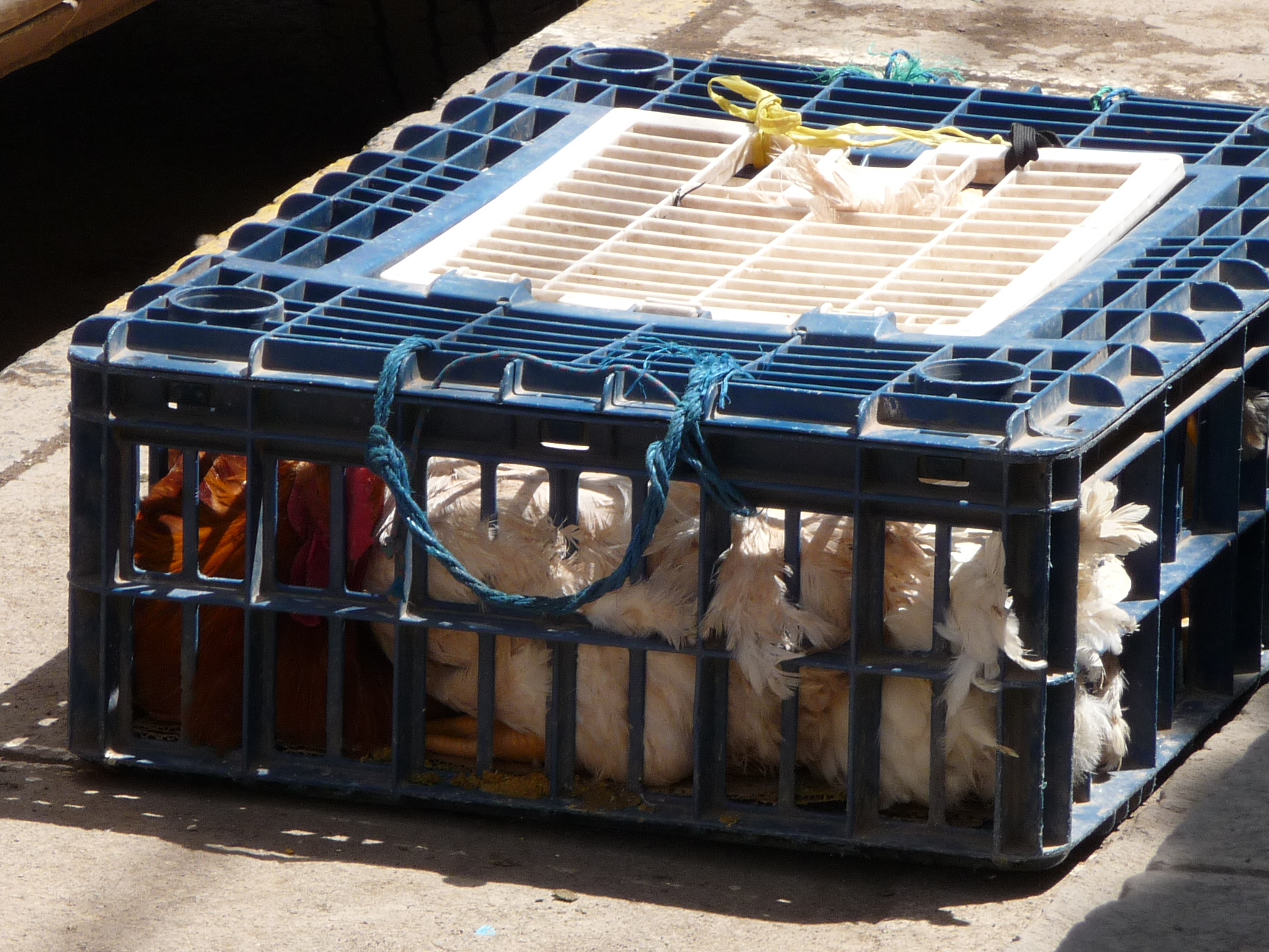
While waiting for Maria’s bus to arrive, we saw this crate filled with chickens.
After joining up with Maria, we did a little shopping. I bought some yummy honey, which is said to be the best in the area. Then we hiked back up the canyon to the hot springs and enjoyed the rest of the day hanging out together, with part of that time in the hot springs.
Lares Day 3
After our second night in Lares, Jeanette, Maria, and I decided to go on a little morning hike up the canyon on the other side of the river … following the path that the hikers all take.
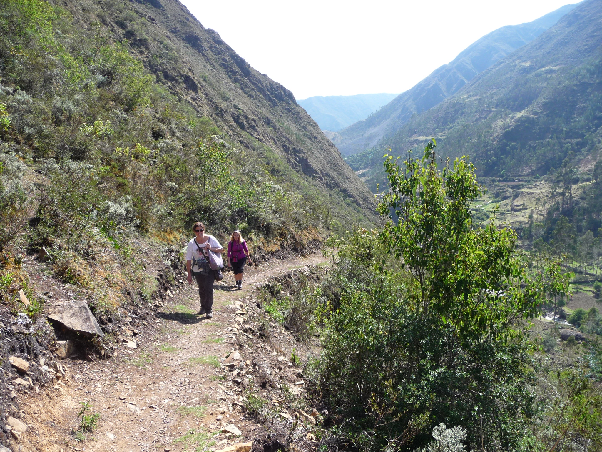
In this photo, I am in the lead, with Maria and Jeanette climbing the trail below me.
Looking from the trail back down toward the hot springs far below.
Zooming in on the hot springs below.
Taking a rest. It is hard to hike at nearly 12,000 feet above sea level.
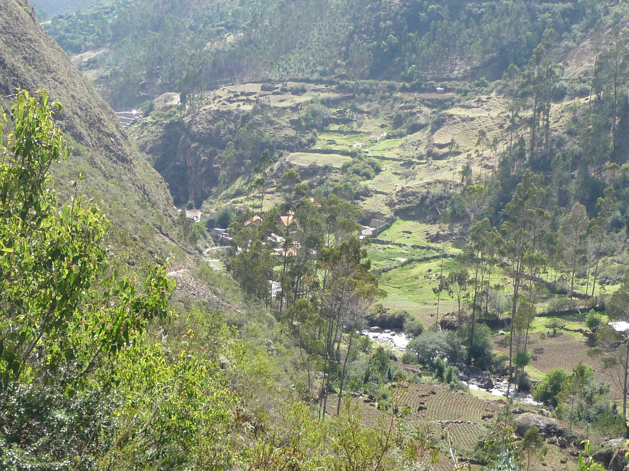
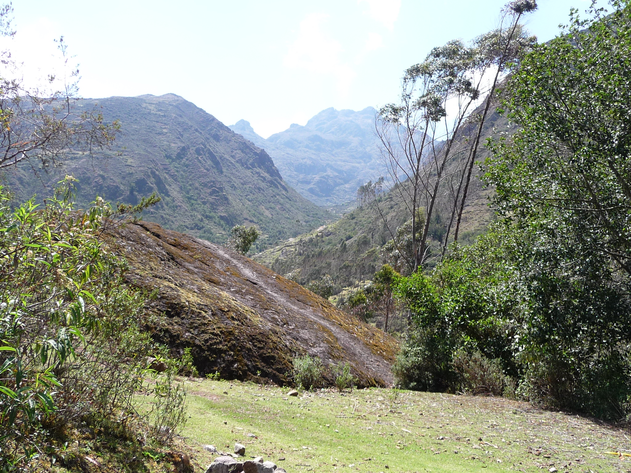
A view from the trail, looking up this gorgeous valley.
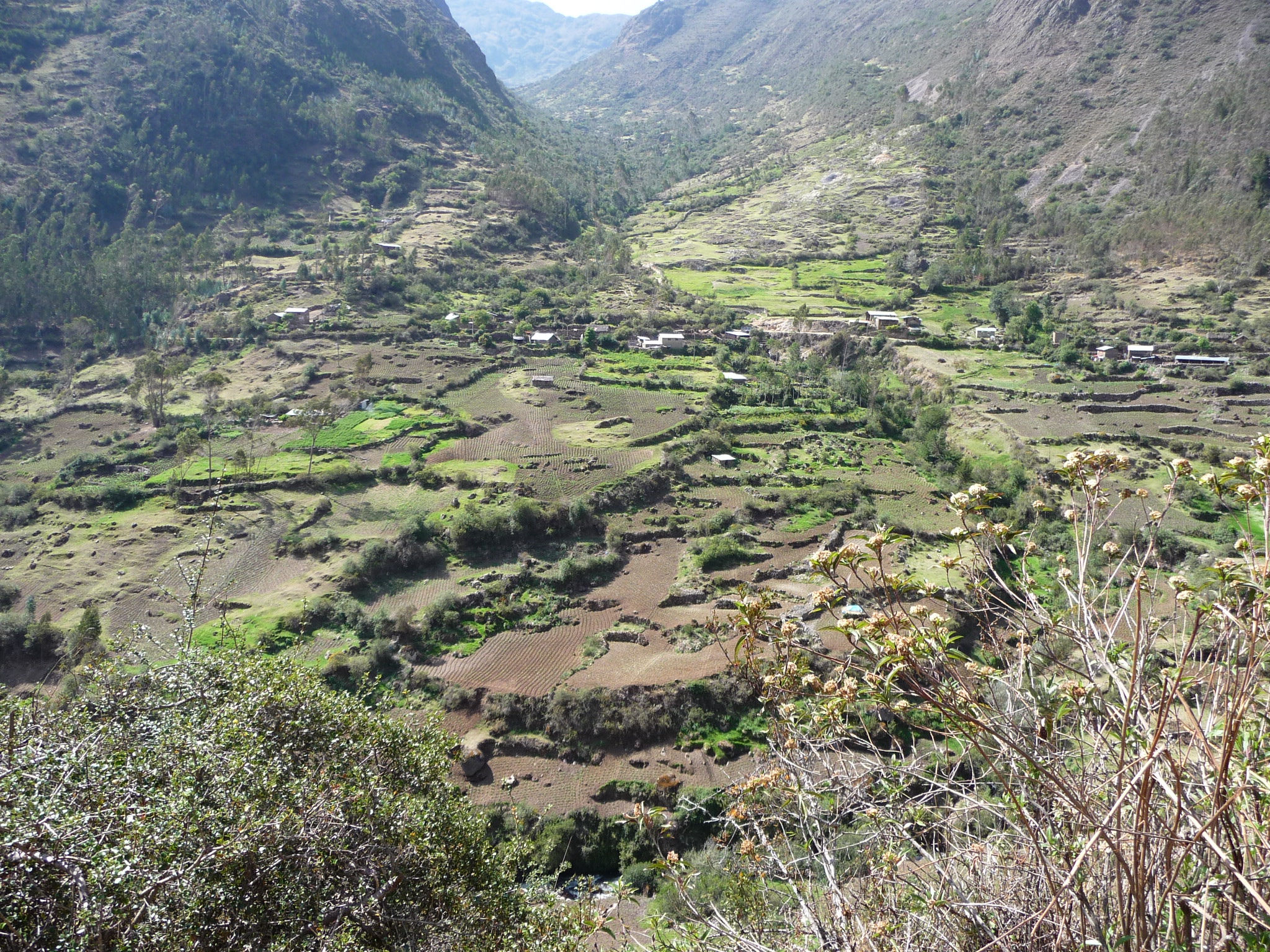
Zooming in on the beautiful valley below.

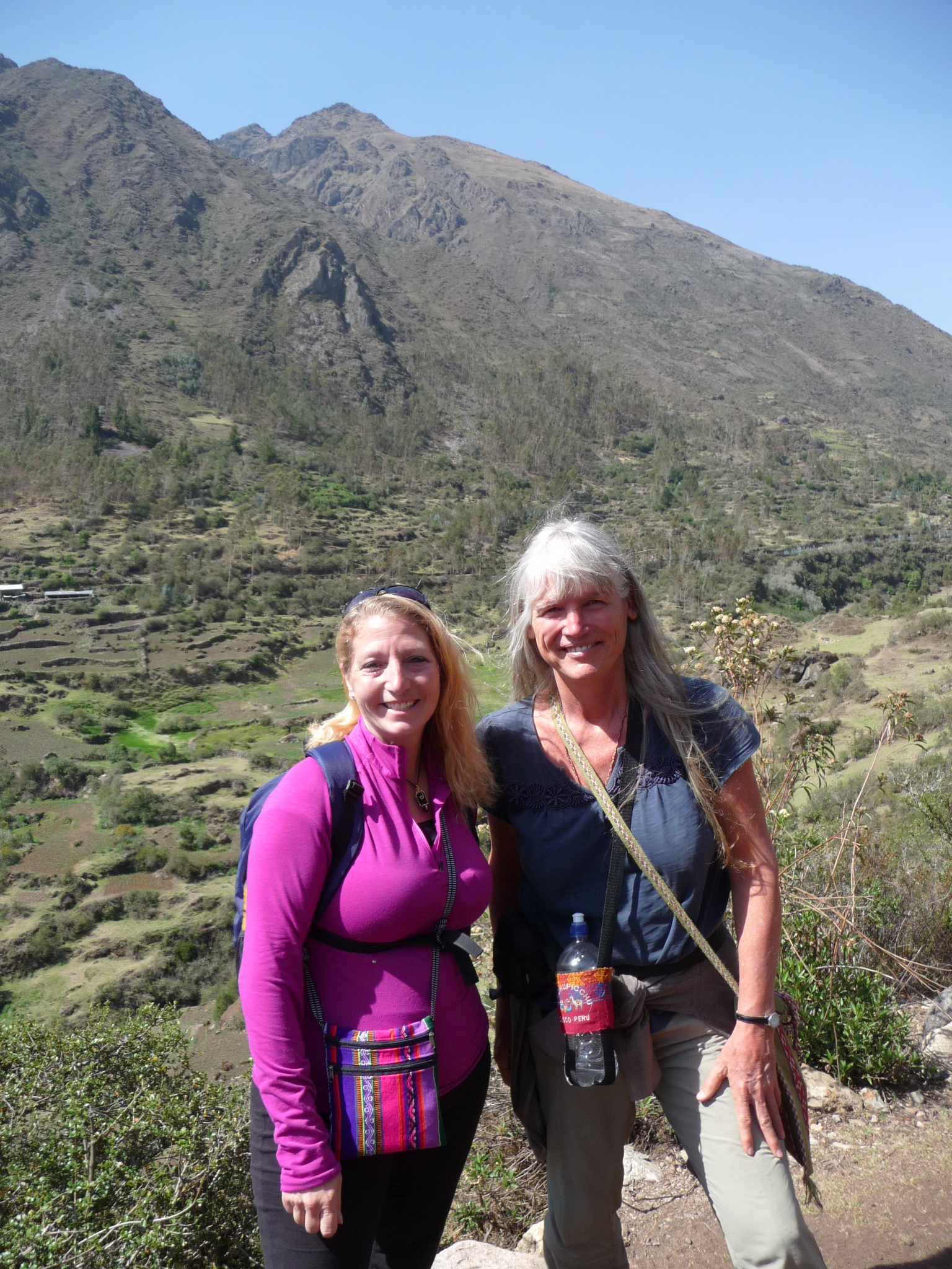
Maria and Jeanette enjoying the magical scenery.
Me and Maria, in a similar pose.
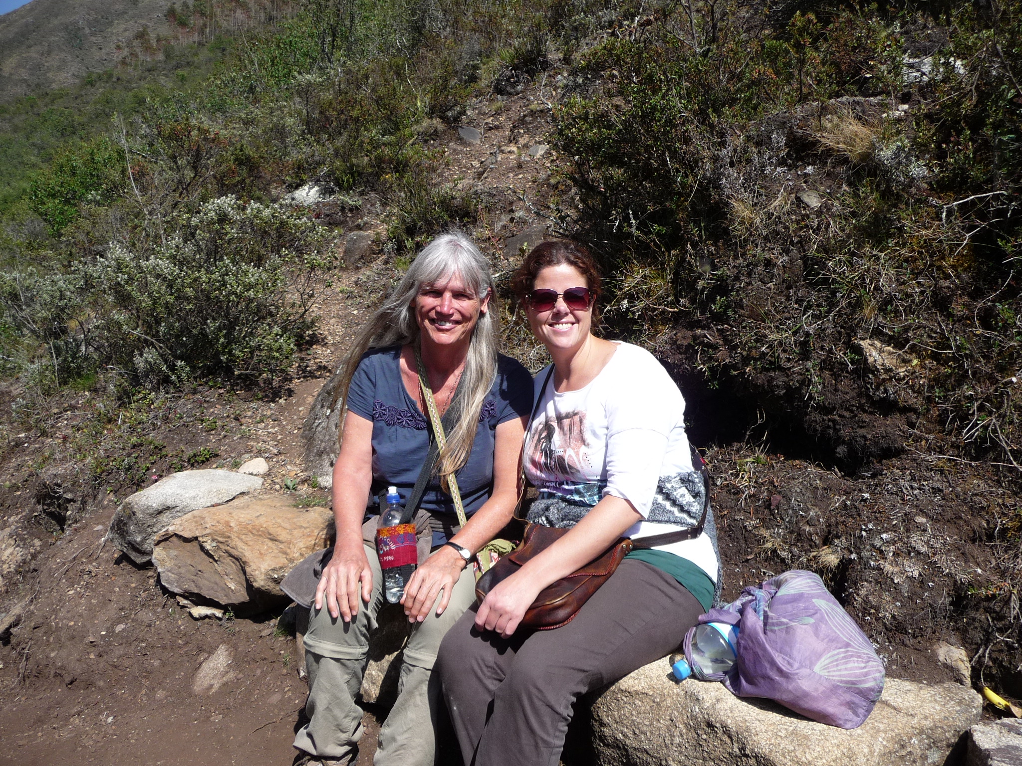
Jeanette and I posing in front of the valley below.
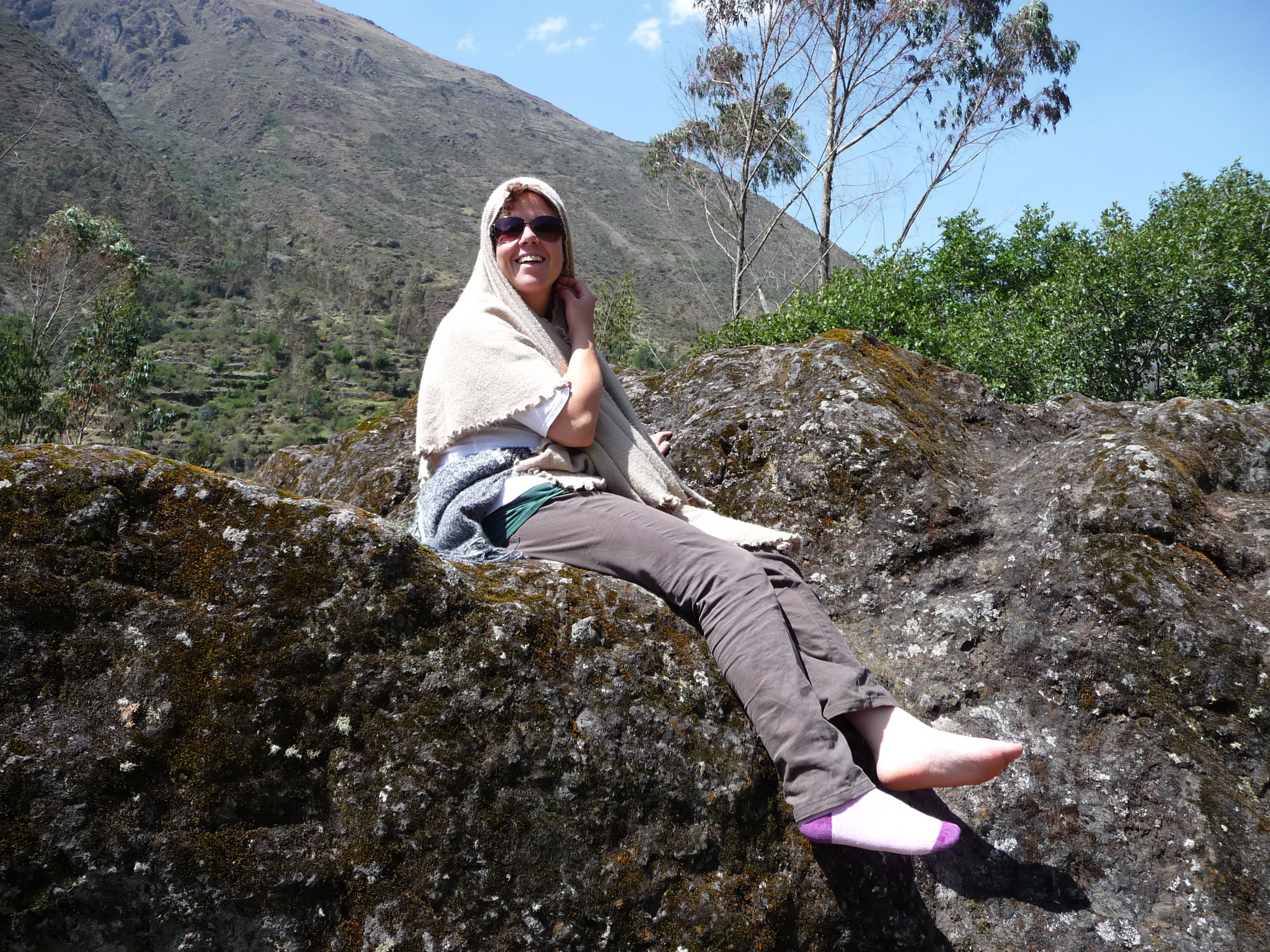
Maria taking a break in the very hot sun. When at full strength, the sun can really burn at this altitude.
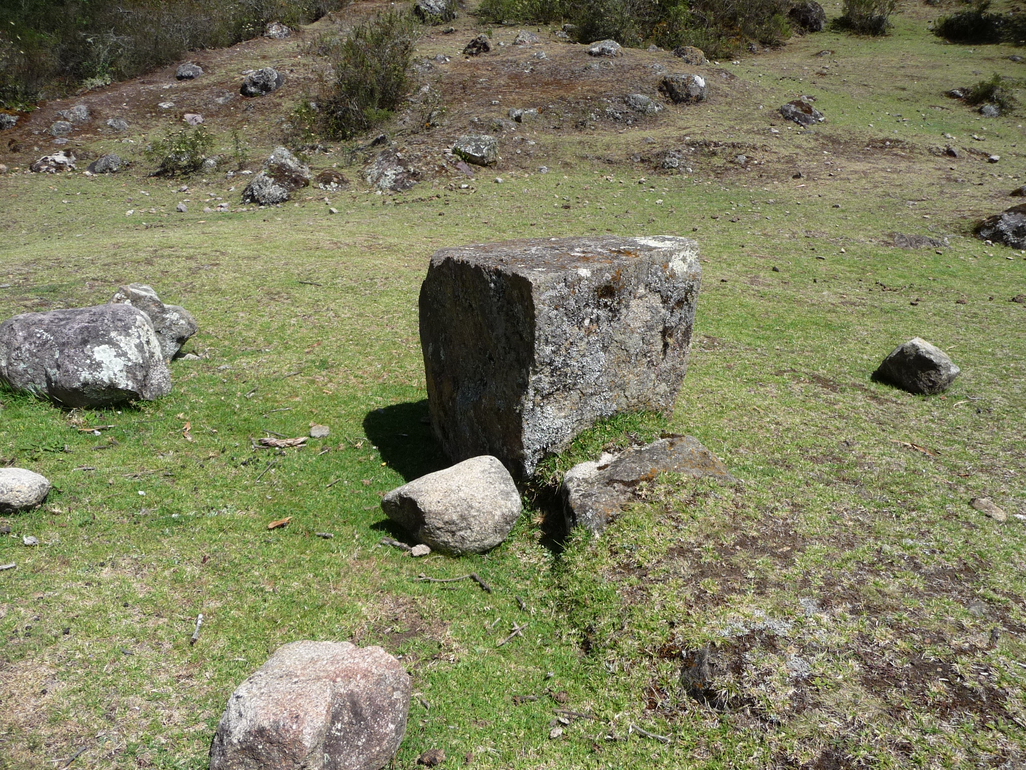
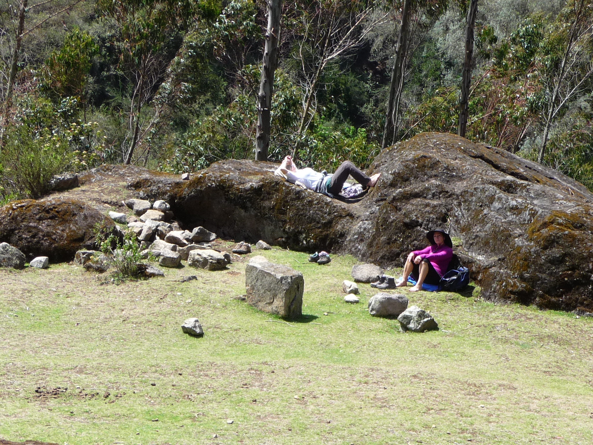
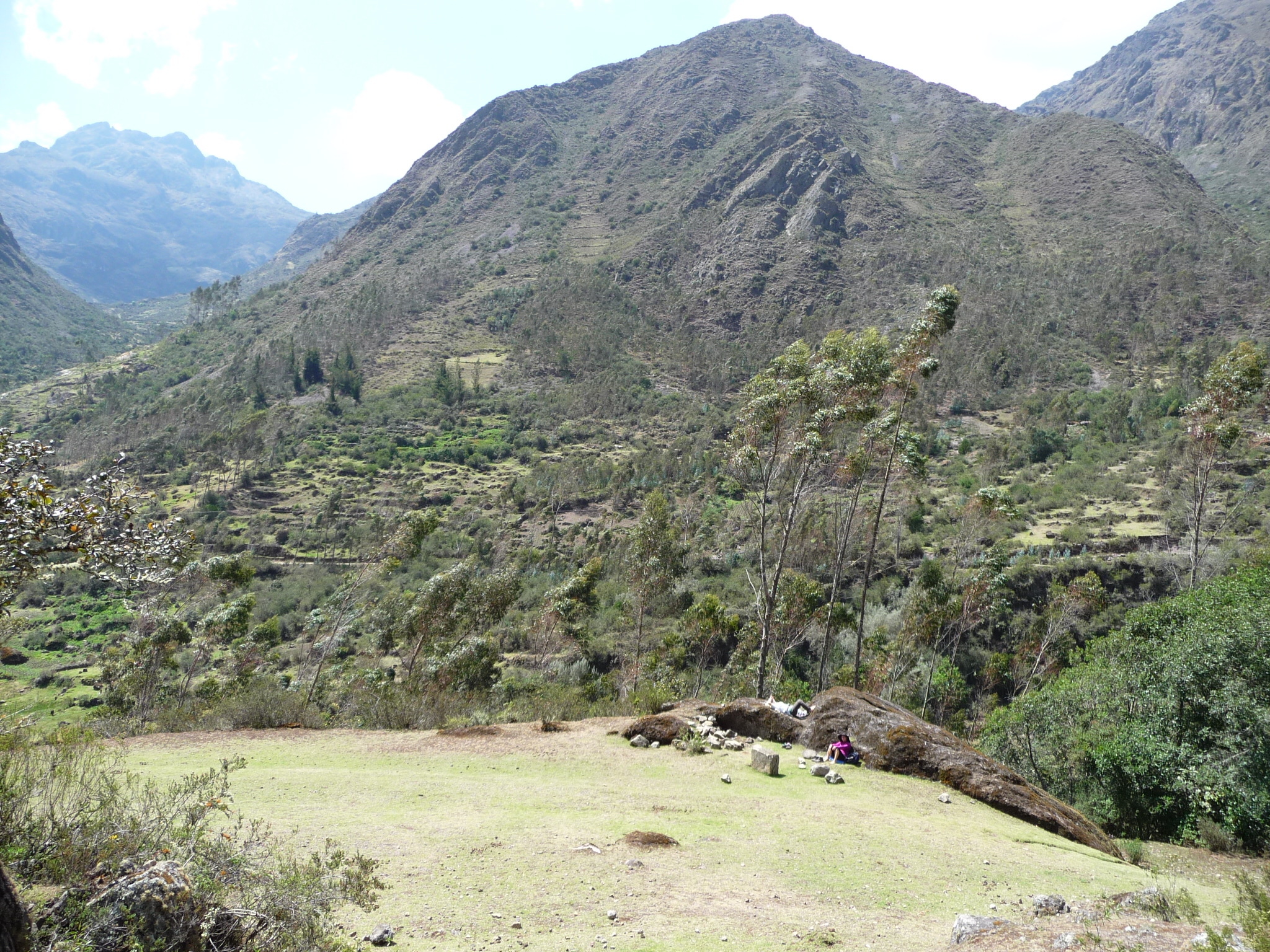
An interesting cube-like rock in a little meadow where we rested.
We spent considerable time resting and meditating in this spot.
Just below the meadow above, there is a little stream with very clear and cold mountain water flowing by. I spent a while exploring the stream. My feet were freezing in this photo.
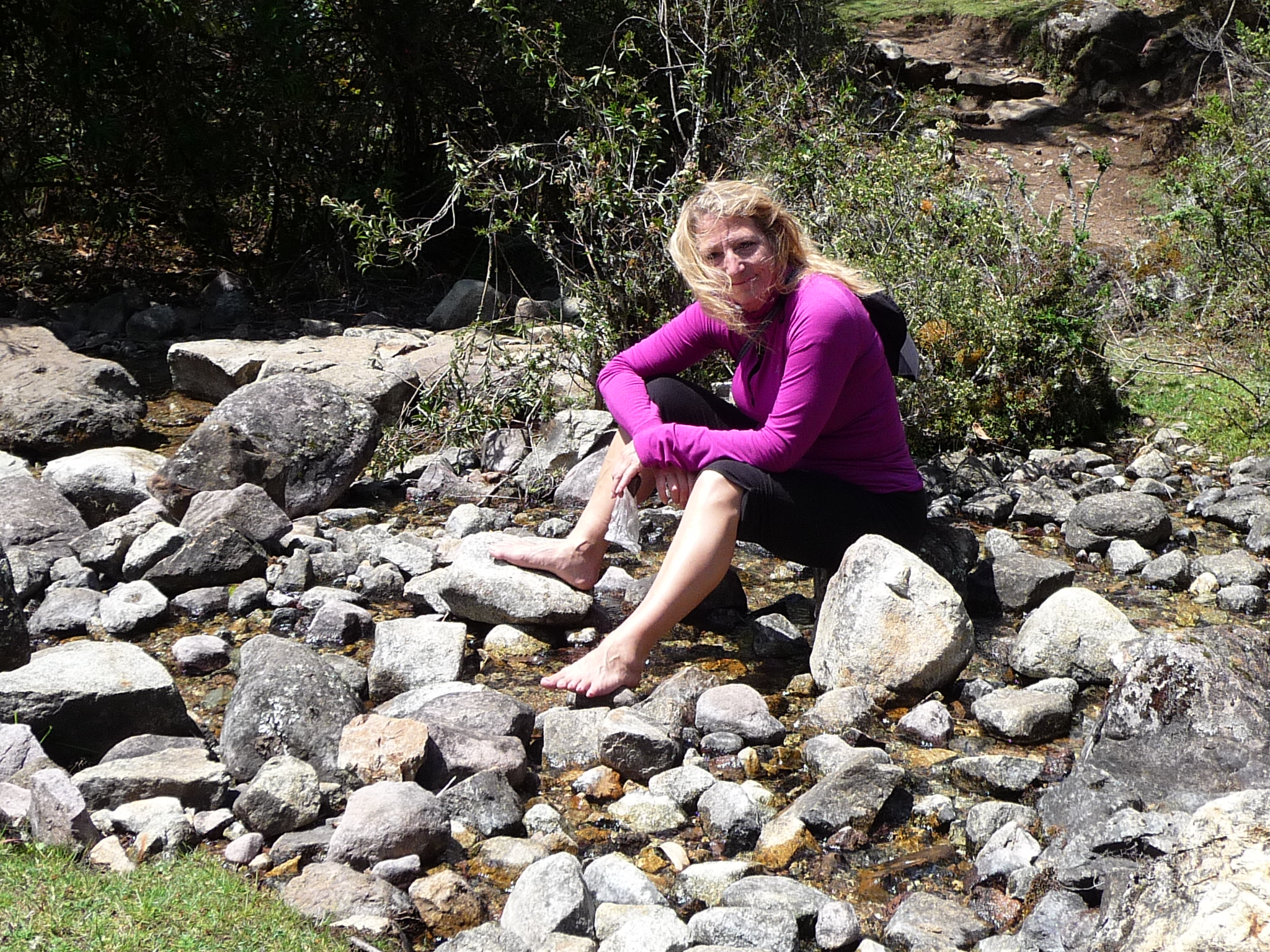
Jeanette also enjoying the stream.
A look up the canyon as seen from our little meditation meadow.
Jeanette, walking near the tiny stream.
Back resting and meditating in the meadow.
I hiked up the side of the hill, just a little bit. The previous photo, and this one, were both taken from this same spot. The previous one is with a large zoom. If you look closely in this photo, you can still see Jeanette and Maria up against/on the rock at the upper side of the meadow.
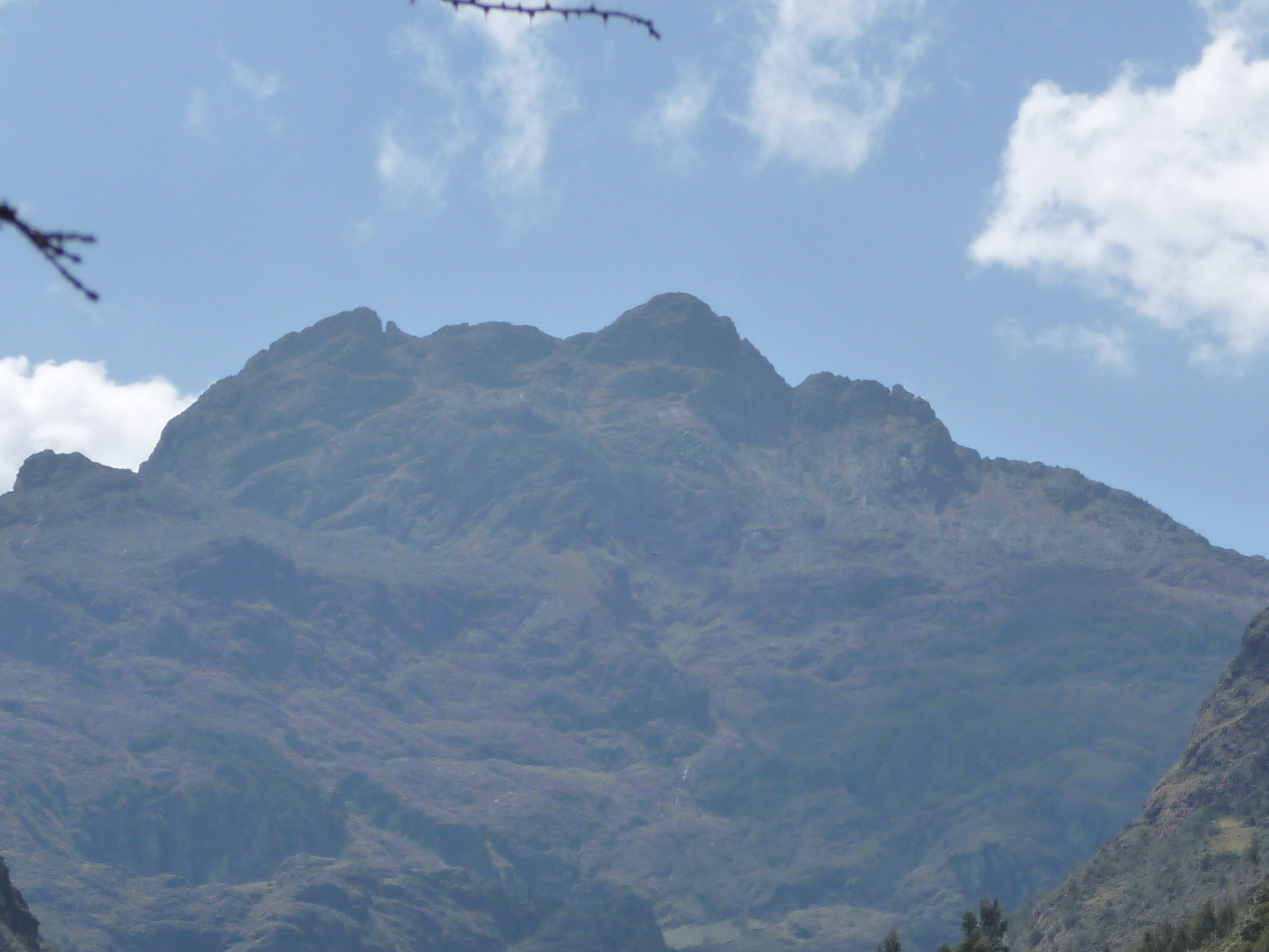
Looking at a mountain on the far side of the valley (lots of zoom here).

Finally, Jeanette and I leave to go catch a minivan back to Calca. Maria remains behind to enjoy the solitude for a little longer.
Drive From Lares To Calca
At around 1:00 p.m., on November 12, 2014, Jeanette and I climbed into our seats in a little minivan, and we began our return journey back over the Andes mountains, returning to Calca. We were very tired, and also very eager to begin preparing for an upcoming trip to Lake Titicaca.
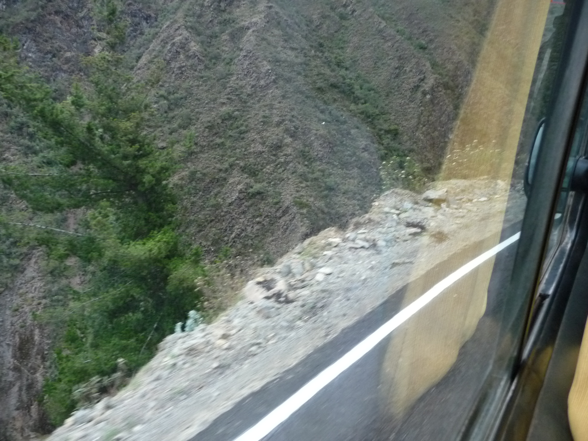
Looking out my window at the edge of the road and the steep drop off to the valley below. We were zooming around this narrow road at quite high speeds … and I am on the left side of the minivan.
Another similar photo as we race up the road.
And another looking almost straight down at the river far below. you can barely see the whitewater of the river in the lower left area of the photo.
The side of the road is not quite as steep here. You can see that the road is paved, but barely wide enough to squeeze a second car past us in the opposite direction.
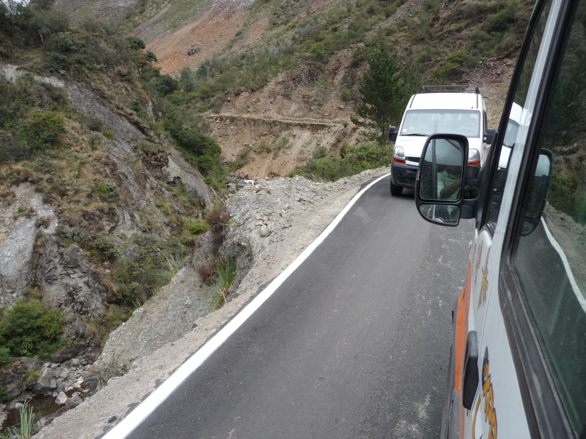
We had to really slow down to pass by this oncoming minivan.
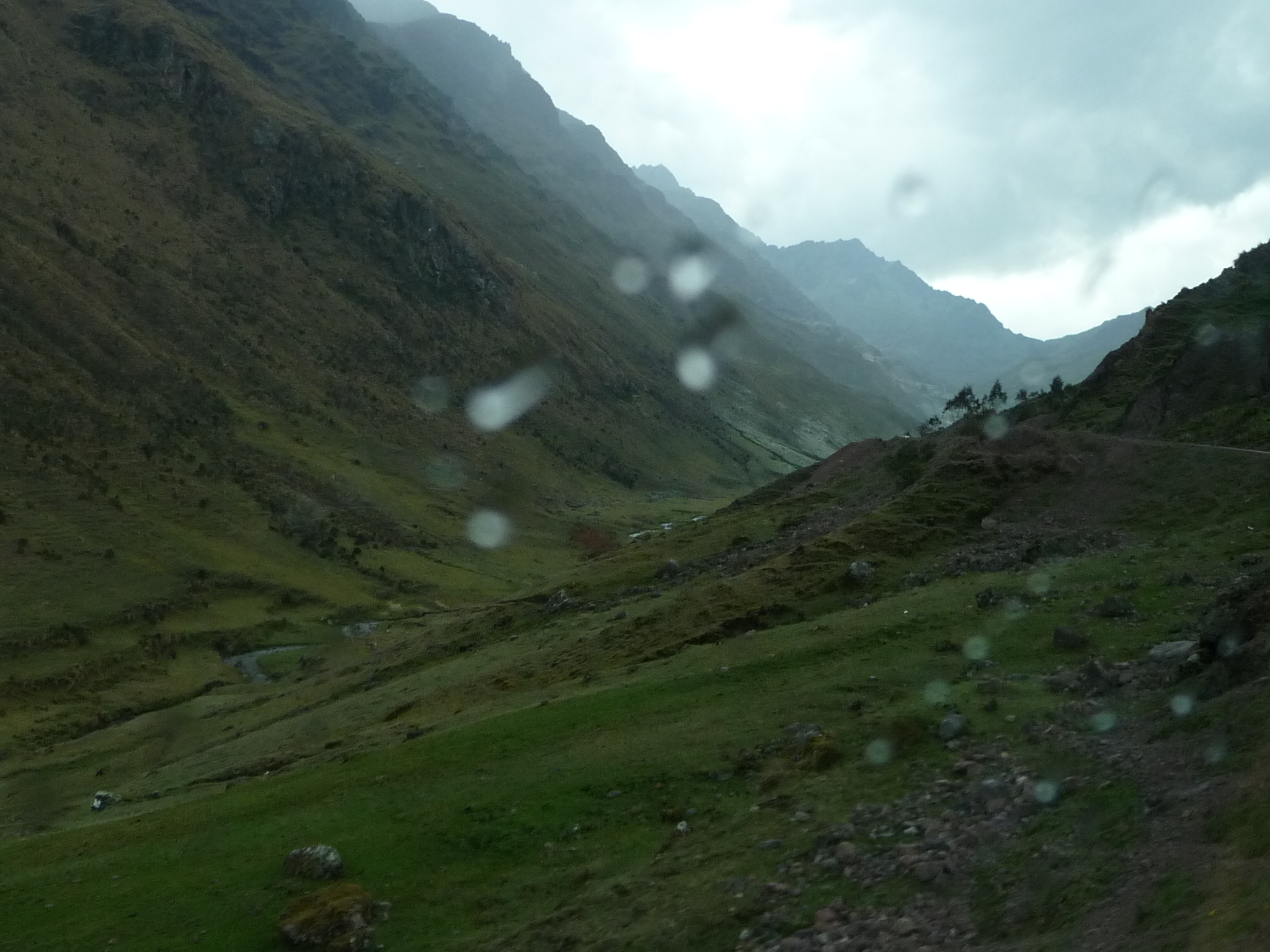
As we climbed higher into these gorgeous Andes mountains, it began to rain.
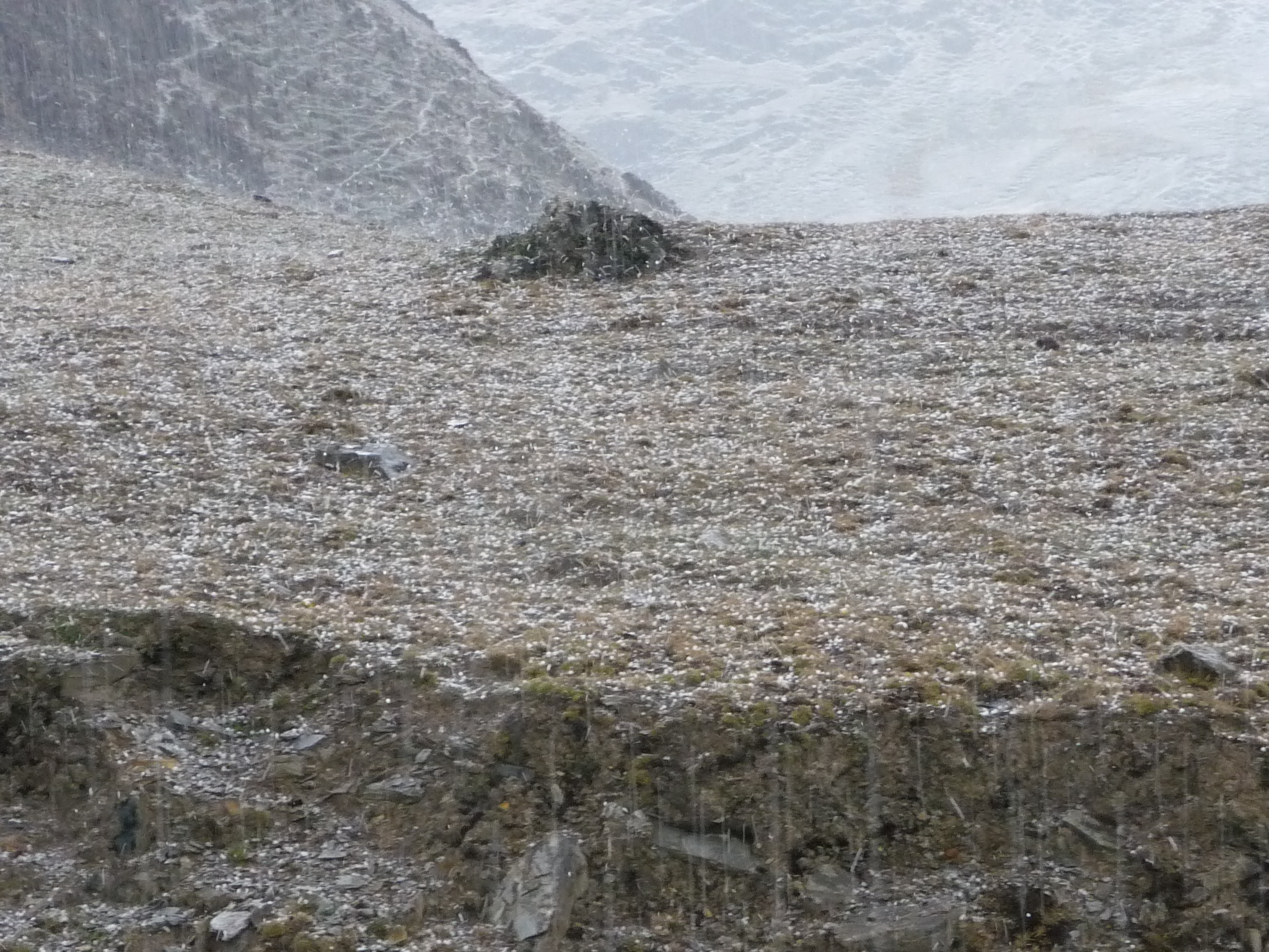
And then, as I gazed into the magical valley below, I was surprised to see something white. It was snowing.
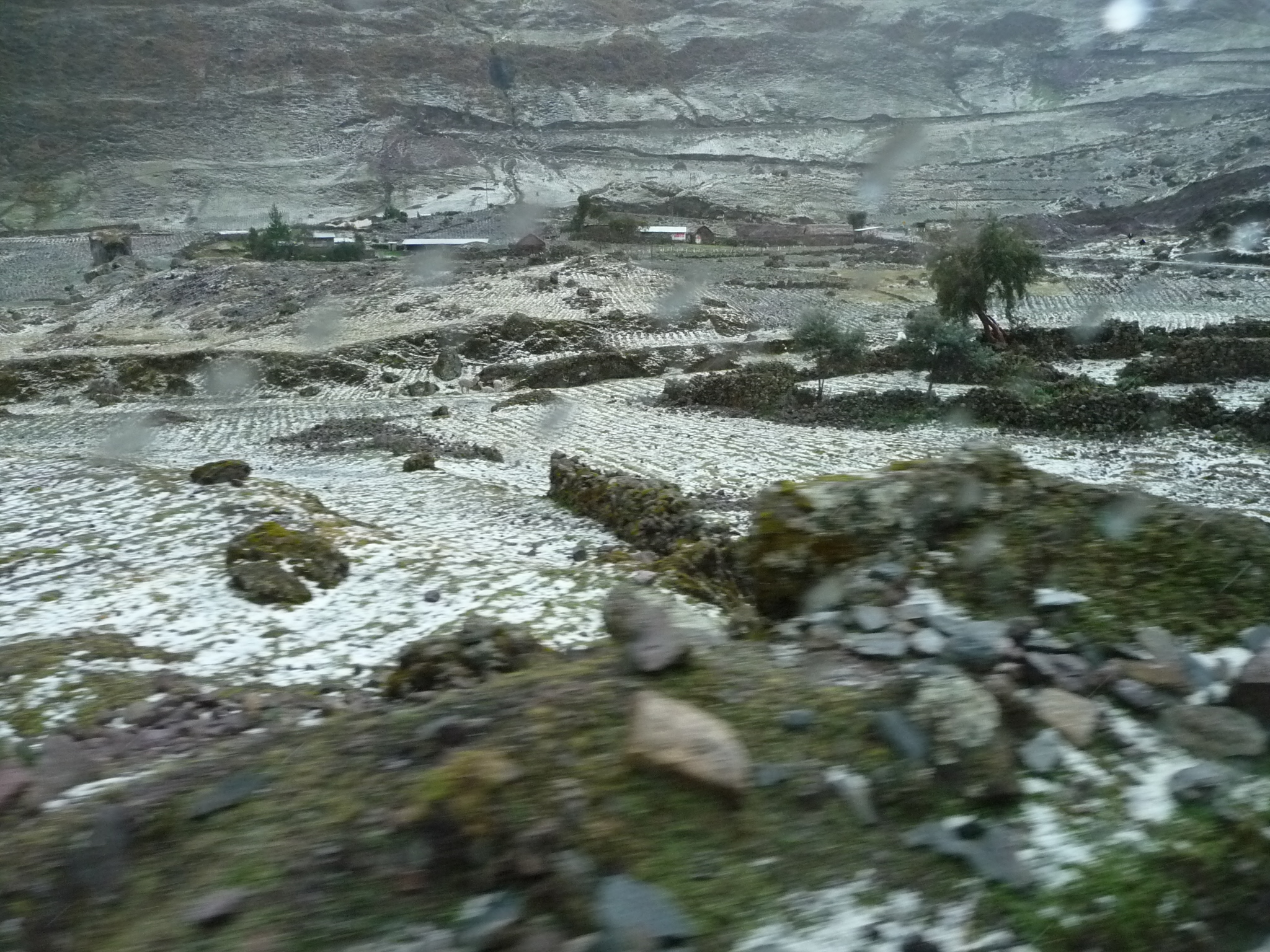
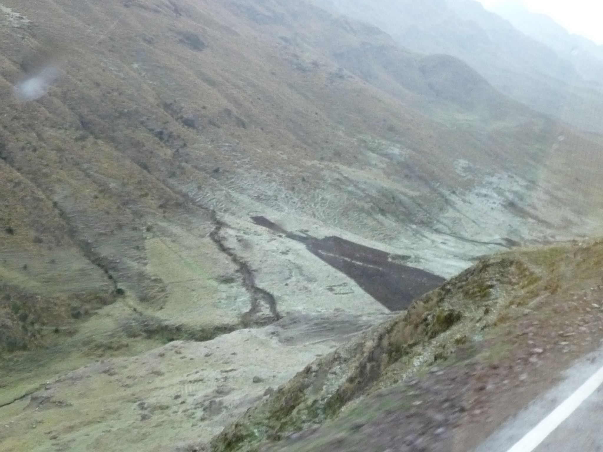
The snow was building up on these farms and fields below. It was actually more of an icy snow, even hail at times.
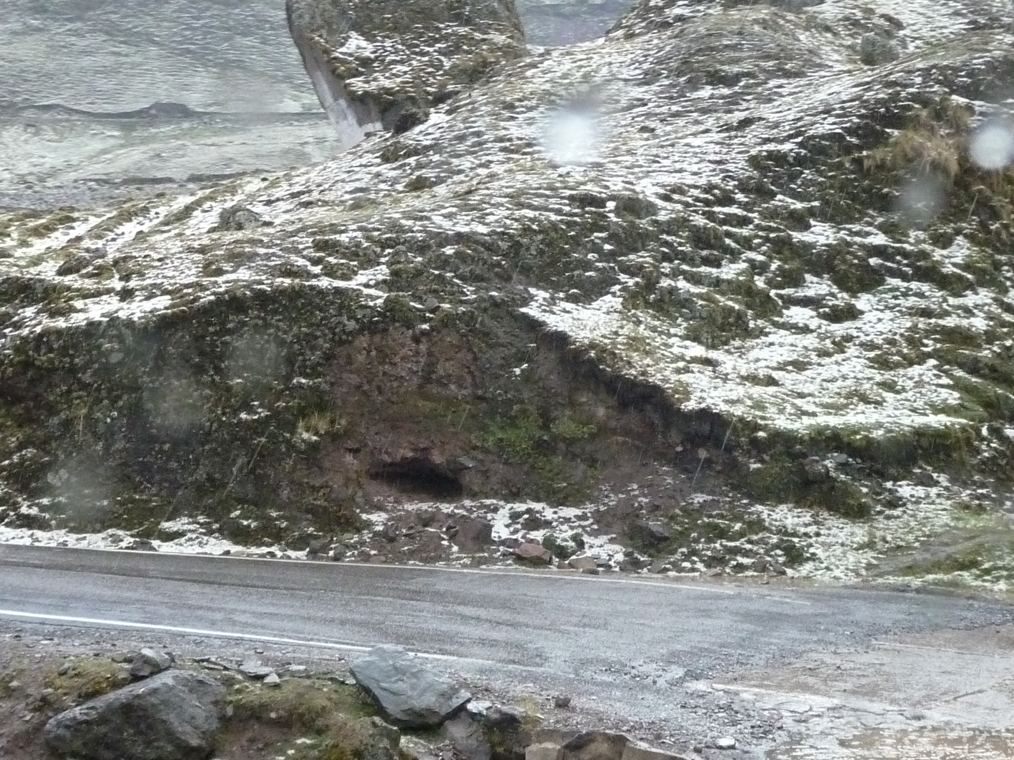
At this point we are nearing the top of the pass, at over 14,000 feet.
Looking down and out the window at a small river running across the road.
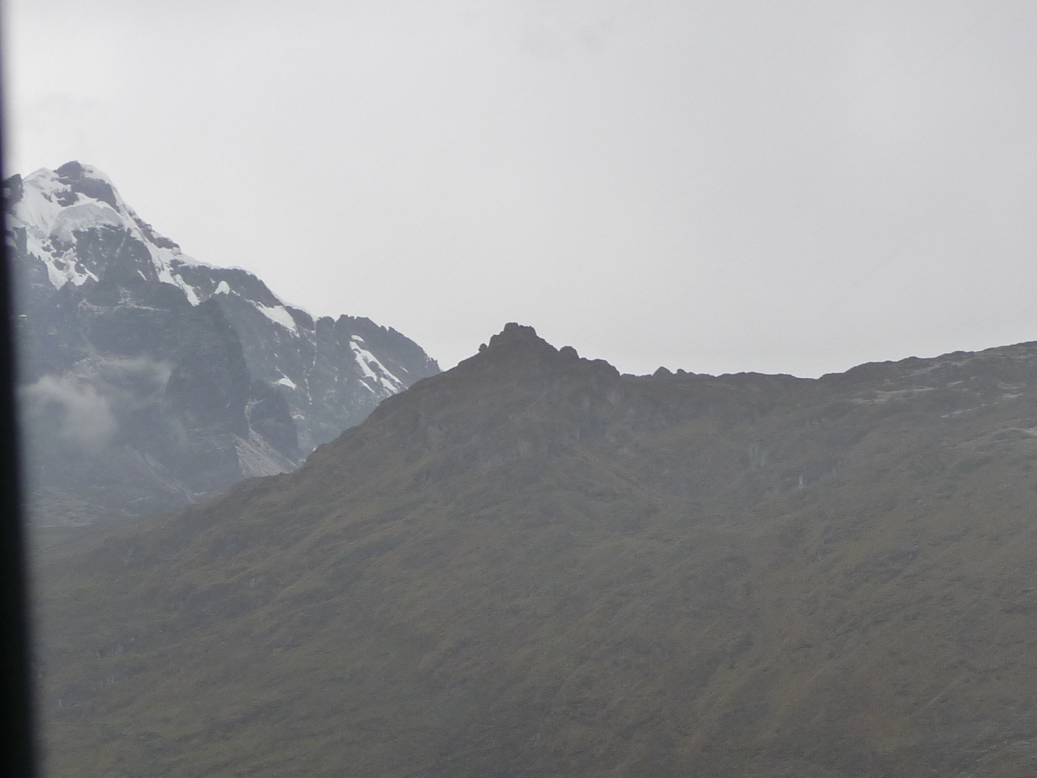
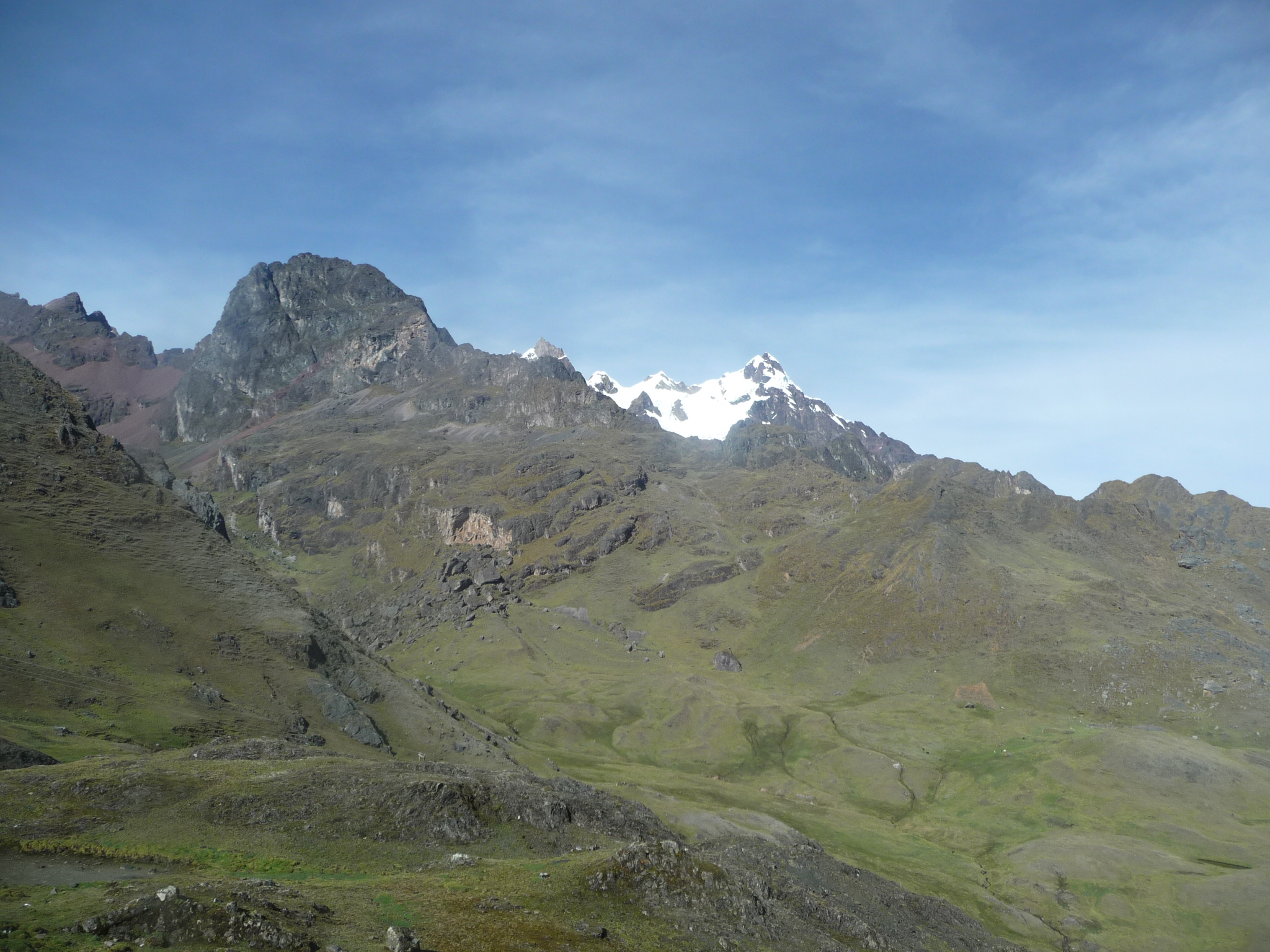
And a beautiful view of a snow-capped peak towering above us.
It was getting foggy, but this peak is gorgeous.
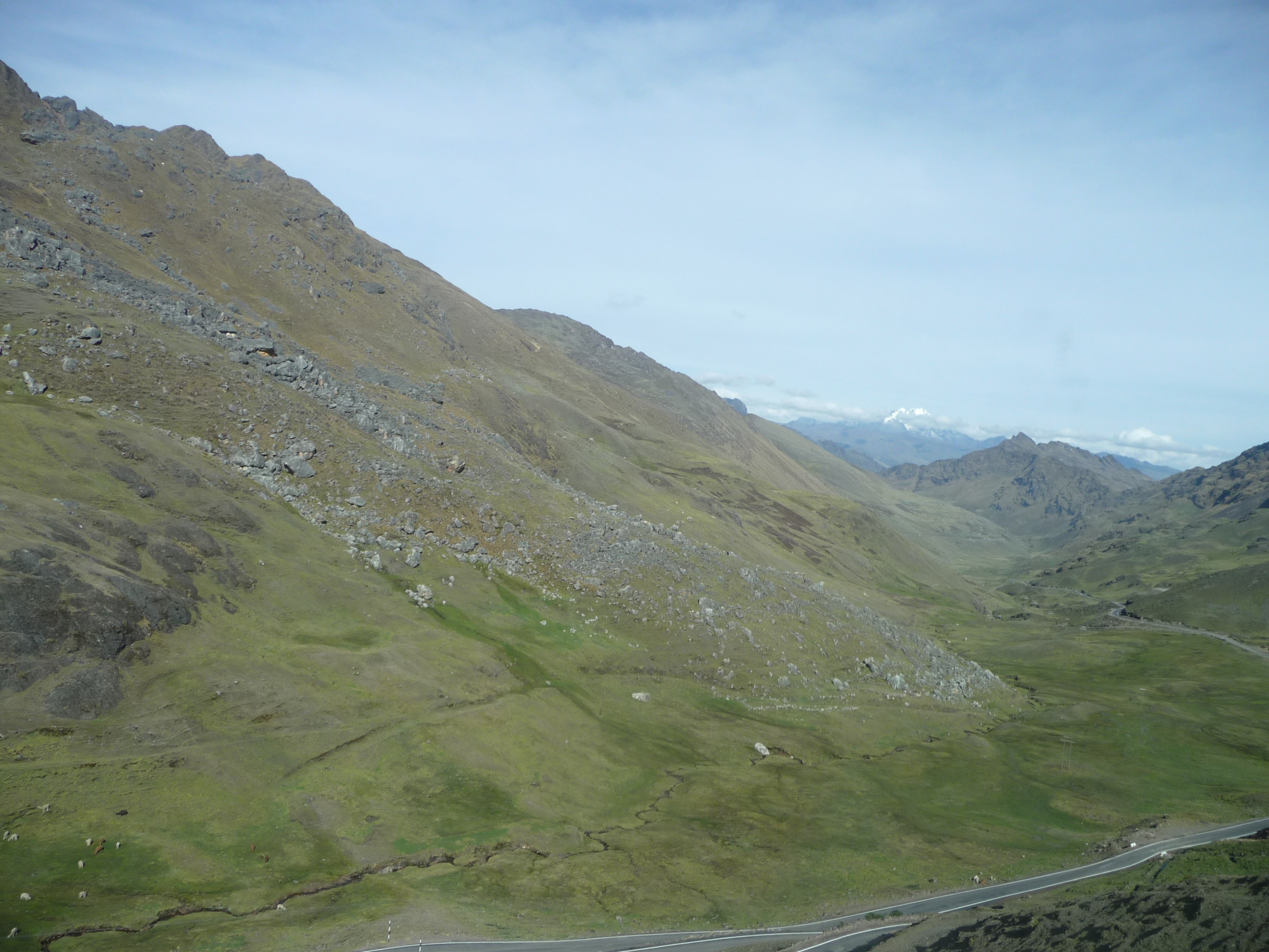
Looking down and back toward Lares as we near the top of the pass.
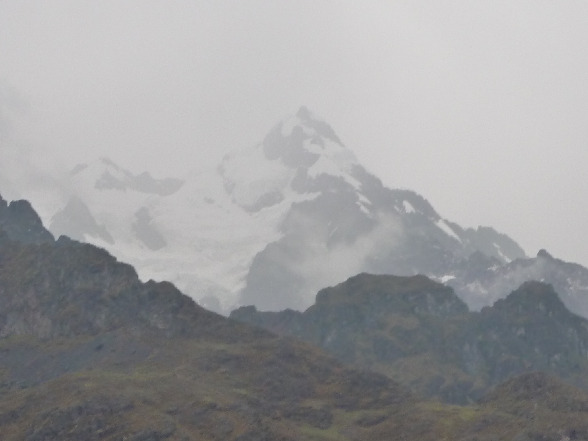
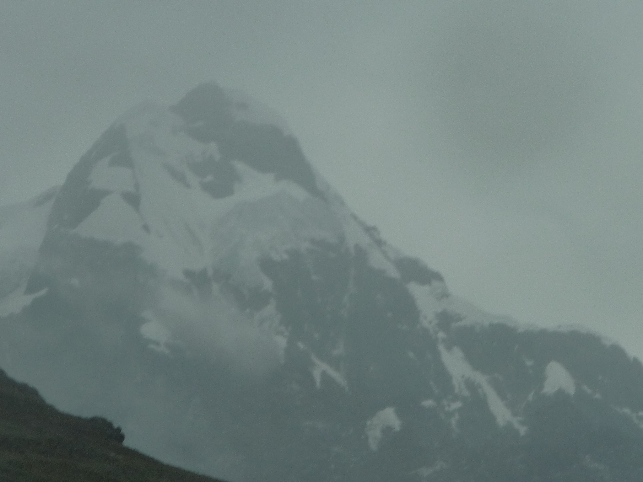
Another view of the majestic snow-capped mountains towering above the 14,665 foot mountain pass.
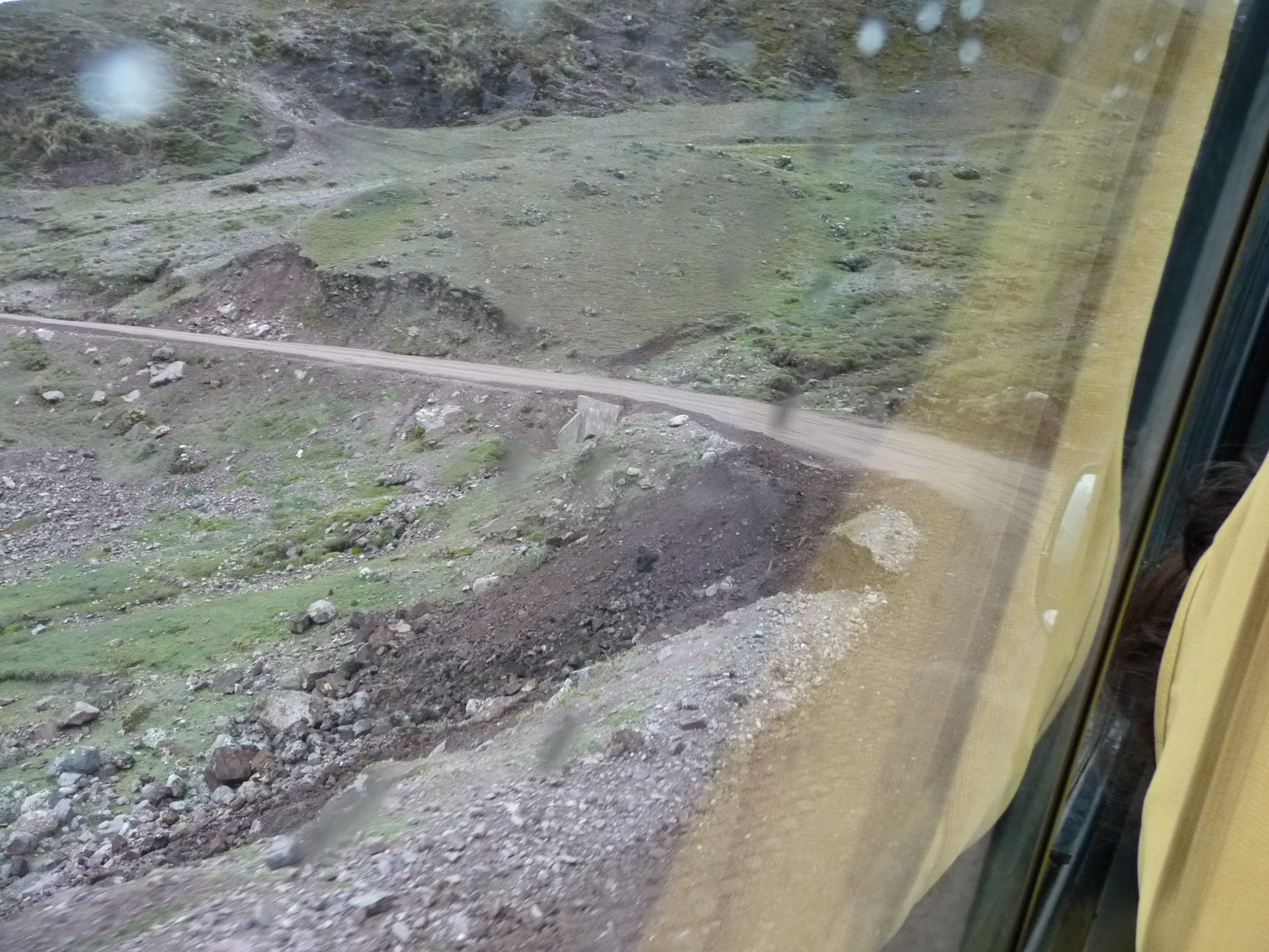
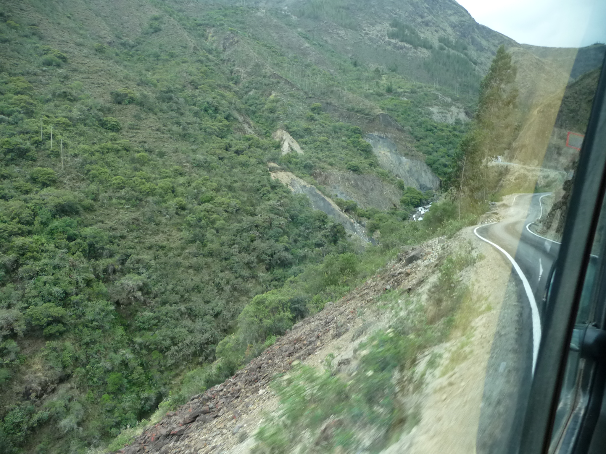
Now going down the other side of the pass on unpaved narrow roads.
A look at the valley below. You can see the road down there. Soon we will be on it.
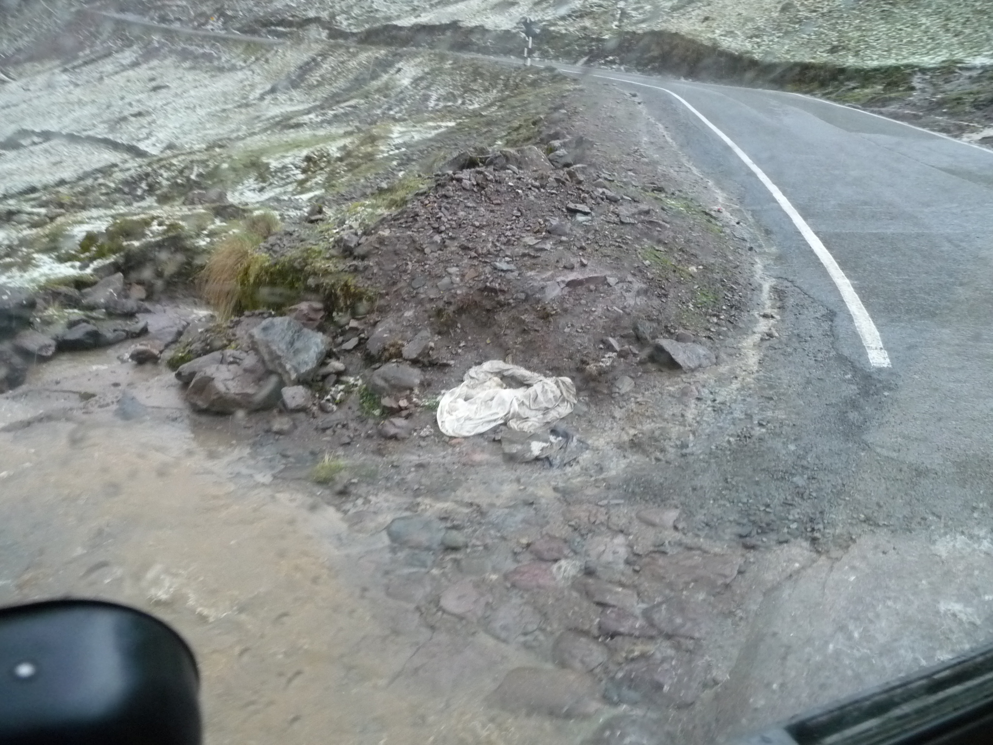
Eventually, we were stuck at a construction block. They were not paving the road. They were actually just spraying it with oil and then covering the oil with sand. we sat here for at least a half hour.
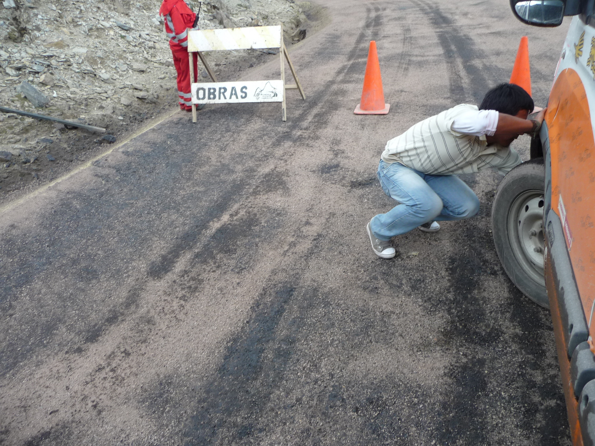
Taking advantage of the resting time, our driver got out and checked behind the front left tire. I can only assume he was checking the brakes.
Suddenly, as we continue to wait, a huge hail storm bursts from the dark clouds above.
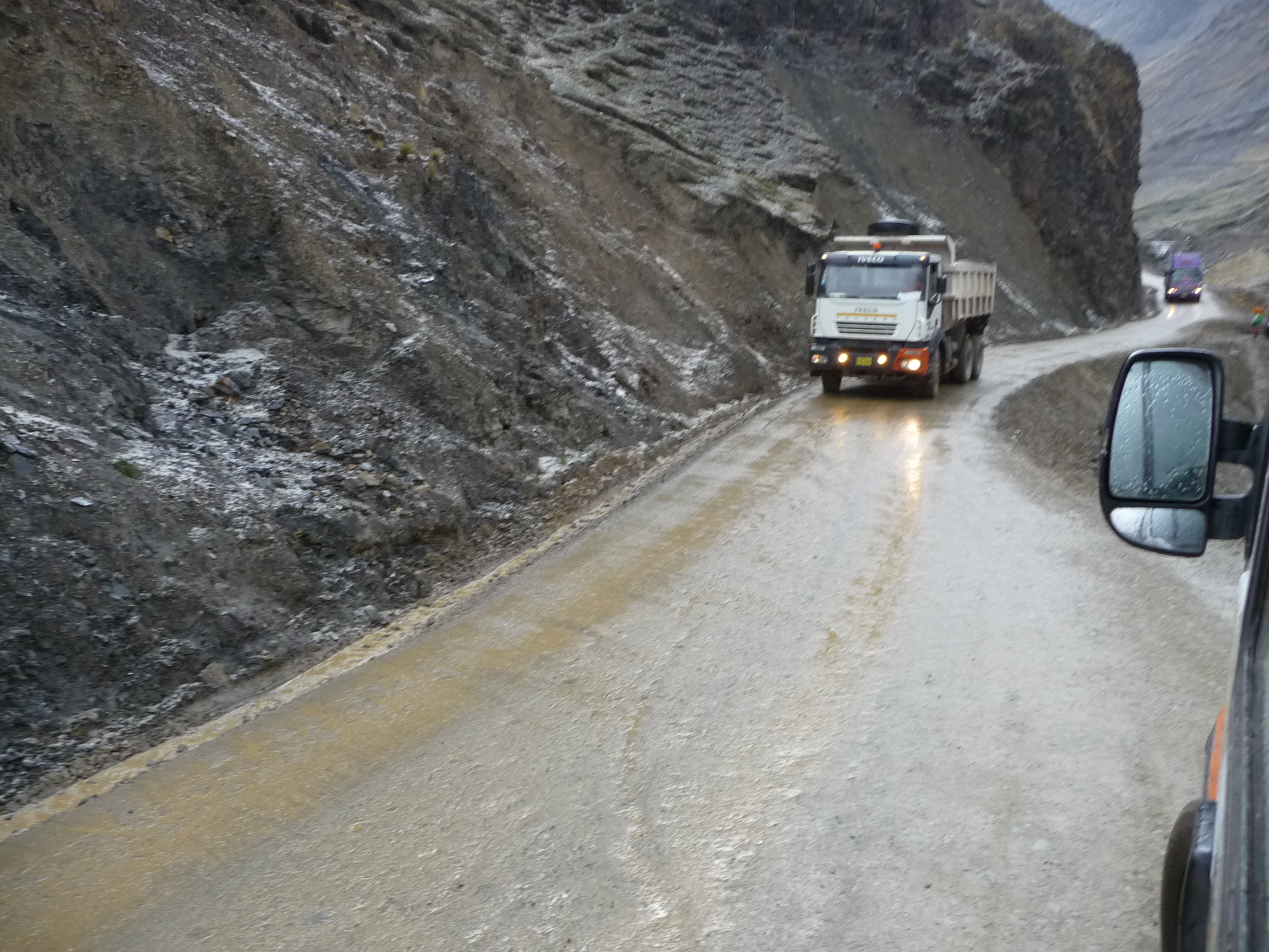
Eventually, we are allowed to move again. You can see how narrow this road is by looking at how that truck fills it completely.
You can see that the hail and rain have made the road very wet.
About an hour later, we finally arrive back in Calca, happy and excited, yet also very tired.
Copyright © 2015 by Brenda Larsen, All Rights Reserved