I did not take all that many photos during my travels this summer, but I did take some here and there. Prior to moving on with more writing, I have decided to spend an off-day, getting the photos out of the way.
As usual, each photo here is a thumbnail image. If you desire to download or see a larger, higher-resolution photo, you can simply click on the small photos and view to your heart’s content. Many of the thumbnail images are poorly clipped at the edges, and too small to see details, so if you have the internet bandwidth click away to see more details.
Misc Pre-Trip
Just a couple of days before beginning my summer travels back to Salt Lake City (and beyond), I participated in a chocolate ceremony at a beautiful hotel, about a twenty-minute boat ride from San Marcos.
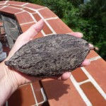
While there, I took this opportunity to snap a photo of a dried chocolate fruit, or cacao pod as I call them. This one is much smaller than the ones I saw in Belize during my travels there. This is a “criollo” (pronounced cree-oh-yo) variety, which means wild. The hybrid pods used for most commercial production are twice this big. This pod contains from 30-50 seeds inside.
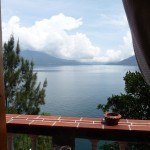
A view of beautiful Lake Atitlan as seen from the window of the hotel room where Keith conducted the amazing ceremony.
Goodbye San Marcos
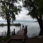
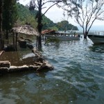
This photo was taken just a few minutes before I boarded my boat, early on the morning of July 2, 2011. Pay close attention to the water levels in this photo, as I will refer back to it at the very end of this photo post.
Hello San Cristobal De Las Casas, Chiapas, Mexico
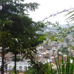
This is a view from my hotel room, looking through the trees at the city in the valley below. This is the beautiful little city where my tourist shuttle left me on Saturday evening — where I spent an exhausting 24 hours waiting for my next bus that would take me north to Merida.
Ek Balam
After finally arriving in Valladolid, I soon took a pilgrimage back to Ek Balam and Kaxan Xul — sights of the five-day indigenous festival that I attended in late November, 2009.
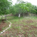
In the foreground (in front of the white handkerchief) is the sacred little Ceiba tree that I donated to the organizers of the festival on the last day of my amazing experiences in Kaxan Xul. This thorny-barked tree is already between 7 and 8 feet tall. I was so thrilled to see it thriving.
The little ‘hill’ in the background is actually an unexcavated Mayan pyramid — the very one on which we did the fire ceremony on the first day of the festival.
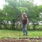
Me standing by my favorite little tree.
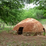
This is the “temazcal” structure in which I participated in my third-ever sweat lodge (first with Eduardo in Cozumel, second in Mexico City). I love the colors.
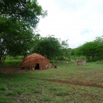
Another view of the same place. I just love these rich earthen and green colors …
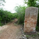
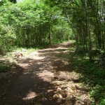
The little road leading into Kaxan Xul. It took me about fifteen minutes to walk to/from here from the center of the little village of Ek Balam. After waving goodbye I walked back to have some breakfast.
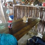
A really poor photo inside of Trini’s little “comedor” (kitchen). Trini’s sister was one of the main organizer’s of the festival. Trini lives in the little village and runs this tiny little mayan kitchen. This is the main table, family style. The blue scarf is one I use to keep mosquitoes off me when meditating…
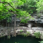
After breakfast at Trini’s, I walked about three miles in the hot sun, with my destination being the entrance gates to the ruins of Ek Balam. But after arriving there, I first walked yet-another mile to the Cenote Xcanche. This beautiful underground pool (sacred to the Mayans) has an open-air top. Some such cenotes are completely underground, or have only a small cave-like opening at the top.
It was in and around this ceremony that we performed several ceremonies during that five-day festival in 2009. Very near to here is where we did the dance ceremony in the jungle.
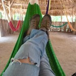
After visiting the cenote, I was extremely hot and tired from my four-miles of walking in the sun. I took a few minutes to rest in one of these cool shady hammocks that I found nearby.
Note the large rip in my jeans. By the time I left San Marcos, every pair of my jeans and capris had similar or much-worse rips. It has been a long couple of years of travel.
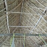
I continue to be fascinated by construction methods in parts of Central America. This is the inside of the thatched room that covers the hammock area. The construction is all natural, with no metal nails or wires.
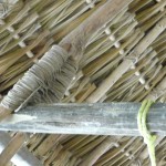
This is one of the braces, showing how everything is held together by natural vines that are wrapped around like ropes …
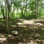
This is the clearing area (near the cenote) where we held the dance ceremony in the jungle. It was in this sacred area where that little jungle tick bit me on the side of my left foot — where I received my third degree burn. In many ways, it was occurrences on this very spot that led to me finding my way to San Marcos La Laguna at preciesly the right time …
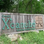
Last but not least is this beautiful sign that marks the trail leading to this beautiful cenote.
This is a portion of the mile-long trail that leads from the parking lot down to the cenote.
My next venture took me yet-another mile walk back up this trail, back to the parking lot, and then into the ruins of Ek Balam themselves.
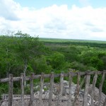
This first photo within the ruins was taken from the top of the highest pyramid, looking west toward the little village of Ek Balam — the same village where I walked to Kaxan Xul and ate in Trini’s comedor. As the bird flies, it is not all that far away, but it is a several mile walk the way the roads run, first looping around to the south…
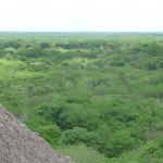
Another view from the top of the tallest pyramid, this one looking over the vast flat Yucatan off toward the east.
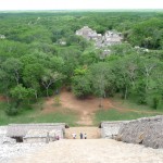
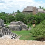
This one is taken from the same spot, only looking down the front steps and off toward the other ruins to the south. I spent considerable time meditating inside the ruin at the far end of this photo.
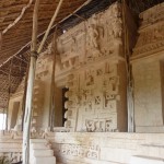
A portion of the front of this beautiful pyramid at Ek Balam.
This is taken from the ruin at the south end, looking back toward the tall temple in the distance (the one where I took the earlier photos). It is right where I am that I sat and meditated, inside a little shady enclosure at the top of this smaller temple, enjoying the gorgeous view.
From the same vantage point, looking a little bit to the right. What appears to be a small wooded hill is actually a very large unexcavated pyramid. There are several of these in this area.
This is a Ceiba tree in Ek Balam. It is quite a bit larger than the one recently planted in Kaxan Xul (The one I donated).
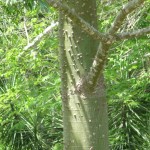
This is a closeup of the trunk of that little Ceiba tree. You can clearly see how spiny the thorns are all over the trunks of these sacred trees.
Valladolid
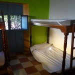
When I arrived in Valladolid, all of the private rooms were full. Ewot kindly let me sleep in this room, a room which was temporarily out-of-service, one being prepared to be converted into a private room.
I slept on the bottm bunk of this bunk bed. I had this tiny window in the doorway that overlooks the park.
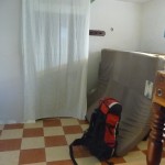
A view taken from my bunk, looking back toward the doorway which is covered with a thin sheet. Note my red backpack on the bottom right … it was heavy (about 58 pounds).
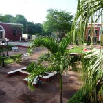
The view from my window, looking down on the Candelaria Park.
The view from the hallway, looking into my room as night begins to fall. As you can see, that thin little sheet did not give me a lot of privacy.
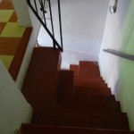
The steep narrow stairway leading from my upstairs room down to the lobby/entrance.
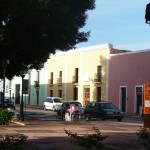
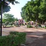
A typical view in Valladolid. The entire city has a theme of pastel colors. This particular photo was taken from the park by my hostel.
The entrance to the hostel.
Another view of the park. I just love that huge tree on the right.
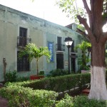
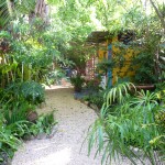
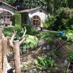
Part of the garden area behind the hostel — beautifully landscaped.
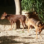
Two of my favorite two things at the Hostel La Candelaria. Bobby (right) and Kalugin (left).
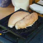
Making toast the old-fashioned way, on a toaster plate atop a gas stove. This kitchen area is out in the back yard of the hostel.
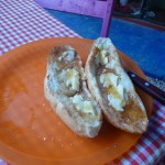
My yummy toast — topped with butter and abundant honey.
My dear friend Conny — from Germany. She has been living in Oxaca, Mexico and her trip for a visit home to Germany perfectly coincided with my own. She is the friend who told me all about her travels in Central America, gave me her tour book … and just happened to mention “Oh, there is a place at Lake Atitlan that you might like … a little place called San Marcos.”
Not-so-great photo of me with Kalugin, just after breakfast. There were lots of mosquitos out, so I kept my scarf handy …
A very curious Kalugin :)))
Cozumel
For some reason, I never got my camera out while in Cozumel this time … except for Thursday morning when I rode the ferry over to Playa Del Carmen to meet my friend Rafael and to then go with him to Cancun to meditate with his teacher …
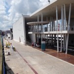
This photo is the ferry terminal in Cozumel as my ferry prepares to pull away.
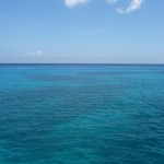
Some of the beautiful turquoise Caribbean waters just off the shoreline of Cozumel, looking out toward open sea.
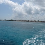
Looking back toward Cozumel as the ferry pulls further away.
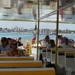
On the top of the boat, again looking back toward Cozumel. You can still see the ferry terminal just right of center.
Playa Del Carmen
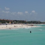
Some of the beautiful white sandy beaches of Playa Del Carmen, as seen from the ferry.
Taken while barefoot on the beach, looking back at the blue and yellow ferry in Playa Del Carmen. This was my first and only beach time during this trip to Cozumel. I did spend some time snorkling in Cozumel (with Jaydee and two other women) but the beach where we entered/exited the water was quite rocky …
Salt Lake City
:) … It seems that I did not take one single photo while in the Salt Lake City area (other than some hiking shots which I include later).
North Rim Of The Grand Canyon
On August 10, I began a twelve-day road trip, with my first destination being the north rim of the Grand Canyon.
Hiking along one of the trails.
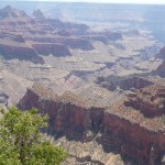
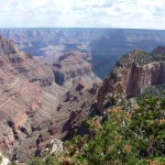
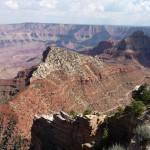
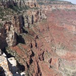
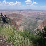
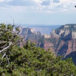
Some of the beautiful scenery.
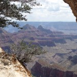
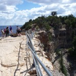
This trail is right near the visitor’s center … hiking out onto a narrow point that has gorgeous views in all directions.
As I post these, I realize that they are all of the same general area — differing views from this first trail that leads out from the visitor’s center.
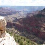
A slightly different view of the beautiful nature around the Grand Canyon.
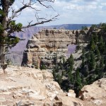
One of my favorite hikes was at the end of the road that runs east of the visitor’s center. If I remember right it was about an hour away. If you look closely, you can see that the rock in the center has a small window in the middle. I thoroughly enjoyed walking out on top of this natural bridge/arch … and enjoyed even more just sitting right here, meditating with this beautiful view in front of me.
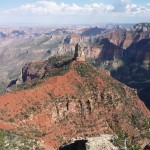
Another view from this end of the park.
If you look closely in the top upper left portion of this photo, you can see a tiny portion of the Colorado in the canyon far below.
Zooming in to the view of the Colorado river far below.
The park ranger in this photo (far left) was letting people look through binoculars on a tripod, staring down at the river far below, then showing people large photo spreads of the huge rapids on this stretch of the river. Aparently it is a favorite river-rafting area.
And another view from on top of this narrow rock with an arch/window in it.
About 45 minutes later, I found myself at this view area, enjoying yet another meditation.
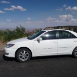
My little 2006 Toyota Camry, parked near an observation point. I cannot quite get myself to sell her, and I am so grateful that she was available during this summer trip. She is now back in storage, awaiting further decisions.
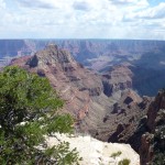
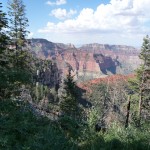
And another view from where my car was parked.
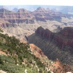
I love this view …
And one final view before returning to my tent at Jacob’s Lake — about a 45 minute drive to the north, back on the main highway. Along the way, I picked up some free firewood along a dirt road in a burn area (outside of the national park boundaries).
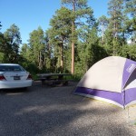
My campsite at Jacob’s Lake. I have had this little 10×10 tent for about fifteen years. It is still going strong.
As nightfall approached, I made a huge campfire with my gathered wood. I enjoyed it for several hours, during which time a couple of my neighbors stopped by to visit. They couldn’t believe that a single woman was out here camping all by herself … :0)
Sedona Arizona
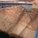
After leaving my campground early the next morning, I first drove east to this river crossing at Marble Canyon. I am taking this photo from a separate pedestrian bridge. What a beautiful bridge and river crossing.
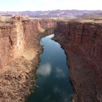
Looking upstream from the pedestrian bridge at Marble Canyon. This is the Colorado River below Lake Powell, flowing from Utah on its way toward the Grand Canyon.
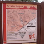
Thursday afternoon and Friday morning, I shared beautiful meditative space with my friend Barbara, who lives and works at a retreat center near Sedona. Thursday evening, we went swimming in a beautiful red-rock surrounded stream. Friday morning we took a long hike, in the hot sun, up Boynton Canyon — an area said to be one of the energy vortexes in the Sedona area.
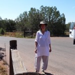
My friend Barbara as we prepare to leave for our all-morning hike.
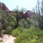
One view along the beautiful trail.
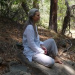
After a couple of hours we decided to stop in a shady area and meditate for a while. This is Barbara meditating.
And me meditating … still dragging that little blue scarf around to keep the critters off :)
Barbara and I with the camera on a rock …
This beautiful butterfly posed for us as we later hiked back to the trailhead.
Phoenix/Scottsdale Arizona
Oops … another place where I didn’t take any photos at all.
Oceanside, California
Before visiting my Niece in San Diego, I had three days to explore on my own. I spent the first half day cycling through an ego loop before deciding to follow my heart. Soon I had checked into an inexpensive motel in the Oceanside, CA area, enjoying all the beach time I wanted.
On Tuesday afternoon, after spending a couple of hours meditating on the beach, I decided to check out the Oceanside pier.
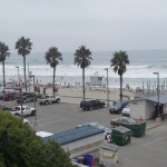
I did not meditate in these crowds near the pier, I did that about five miles further down the beach to the south, where it was not quite as crowded.
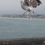
A gull taking off from the edge of the pier. I am about 3/4 the way out to the end of the pier at this point. Note how far away the beach is. This is a long pier.
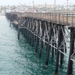
Looking back toward shore.
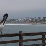
My favorite photo on the pier. You’ll have to click on the photo to see the whole bird.
Many surfers were enjoying a leisurely afternoon as they caught a few waves next to the pier.
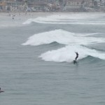
Here’s one up on his board.
San Diego
Oops … yet again no photos here :o)))
Uintah Mountains
A couple of weeks after my road trip, I spent a few outings hiking along a trail in the Uintah Mountains — one of my favorite spots to go when in that neck of the woods.
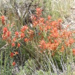
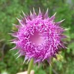
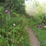
These thistle flowers just fascinate me. I love this one.
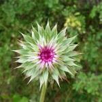
And another flower that dazzles me … almost like an optical illusion. You’ll have to click on the photo and enlarge it to get the full effect.
It was not until later I noticed the little white spider crawling on the lower half of the flower.
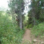
One of my favorite trails on which to hike. It is easy to get to, quite isolated, and only a short hike to isolation.
Another view on the trail.
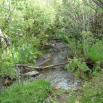
A noisy little stream runs all along most of the trail.
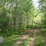
Another portion of the trail … this part nestled among the Aspen trees.
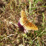
A cute little butterfly paused to pose.
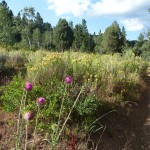
Another less-wooded area through which I walked … but I just love the flowers.
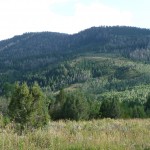
A view of the gorgeous Uintah Mountains as seen from the trail.
Antigua, Guatemala
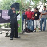
After an amazing final-fifteen days in Utah, my plane touches down in Guatemala City. A couple hours later I am passing time in the central plaza of Antigua. I didn’t get my camera out in time to capture the whole show. There were many jugglers and carnival-like performances that I did not capture on film.
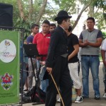
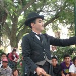
After the jugglers, this mime came out to entertain the crowd. I found it quite humorous to watch a young Guatemalan man play Charlie Chaplan.
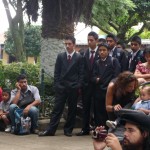
Part of the crowd watching the show. I was quite impressed with these young men in dark suits. I don’t know if they are part of a local business school, or if this is a school uniform or something. It is definitely not common to see Guatemalan young men dressed so elegantly.
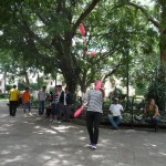
I did manage to capture one of the jugglers who was practicing after the show ended.
Lake Atitlan Water Levels
For those who have followed past posts, I have found it quite fascinating to track the water levels here at the lake during these last two rainy seasons. In fact, last week I had to wait for a half hour in Panachel because the boat dock was being rebuilt as I watched. No boats were able to leave until they finished raising it.
I took these photos today, after returning from a boat trip to Panajachel. Eighteen months ago, when I first arrived in San Marcos, the boat dock was down this cobble stone path, around to the left, down some steps, along a path, down a trail, and then out onto a dock.
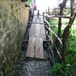
Now, the water level is so high that it is encroaching on the hotel to the left, and the path is flooded, requiring that a ramp be built above the stone path.
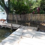
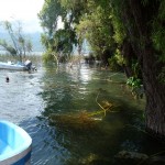
The path leading to this dock (previous photo) is to my right. When I left San Marcos in July, the photo of the dock that I took was taken while standing on dry ground just a few feet in front of me and to the right. Now this entire area is flooded. The wall just behind the dog, which was about four feet tall, is now flooded.
In fact, the area where the dog is walking was at least three or four feet above water level. Now it is under a couple of feet of water.
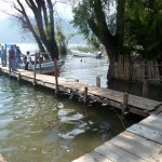
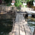
This is now how the dock looks today. It is already almost under water again (as the rains continue to pour almost every afternoon). The neighboring hotel’s boatdock used to be visible in front of the boat back center. It is now completely gone.
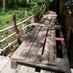
Just a couple of weeks ago, where I am standing was on dry ground. Now It is totally flooded and these ramps are necessary for people to get to the cobblestone path leading up to the center of town.
These are a couple of beautiful rooms at the Posada Schuman (hotel). I once stayed in a room further up from these. You have to expand this photo to see it, but the lake level is now nearly consuming these rooms — rooms that used to be 15 or 20 feet above water level when I first arrived in April 2010.
When I left in July, the rock wall was being raised to protect the lake from encroaching on the hotel. It was at least five feet above water level then. If you look closely in the middle, you can see the red tile roof of the original brand-new boat dock. That dock platform (now halfway under water) used to be at least ten feet above water.
Lake Atitlan has no outlet. The water just keeps rising with the increased rains.
One more angle looking the other way from the boat dock. Chaty from the pyramids used to have a rock wall to protect her house. That very-tall wall has now disappeared.
At the very bottom-right of the photo, is the wall I pointed out at the beginning of this photo blog. It is totally underwater now.
This final photo is taken from the end of the dock, looking back toward shore. This entire area (from where I am to the fence) was dry ground when I left in July. Oh how things change.
I don’t know why I am so fascinated by the water levels here. I have no attachments whatsoever, yet I find the continuous rise to be quite interesting. Even more interesting is the process of watching how the local people just always find a way to adapt and to make things work.
Wrap Up
I have loved my travels of the last three months, and am also extremely excited to be back in San Marcos, attending chocolate ceremonies and writing again.
Copyright © 2011 by Brenda Larsen, All Rights Reserved

Thank you for sharing! Many places I have been and some I have not…. Wonderful to see what your travels gave you!!!
I love your photos. Hugs Shell