On Saturday, May 30, 2015, I left Santa Cruz Island (in the Galapagos) for a three day / two night tour to Isla Isabela (Isabela Island).
This post contains 174 photos telling the story of that magical journey. On the first day, after arriving, I was on my own to find a hotel and then explore. On the second day, I had a snorkeling tour to “Los Tuneles”, and on day three I had a scheduled tour to “Volcan Sierra Negra”, after which I embarked on a return journey back to Santa Cruz.
As usual, the photos in this post are thumbnail images. Please click on any photo to enlarge it. The thumbnails leave much to be desired as far as colors and resolution – plus the thumbnails clip all of the edges. I use thumbnails for the post itself, because it gives people an opportunity to get a summary glimpse without downloading huge amounts of data for the high-res photos.
CLICK ON ANY PHOTO TO ENLARGE TO HIGH RESOLUTION
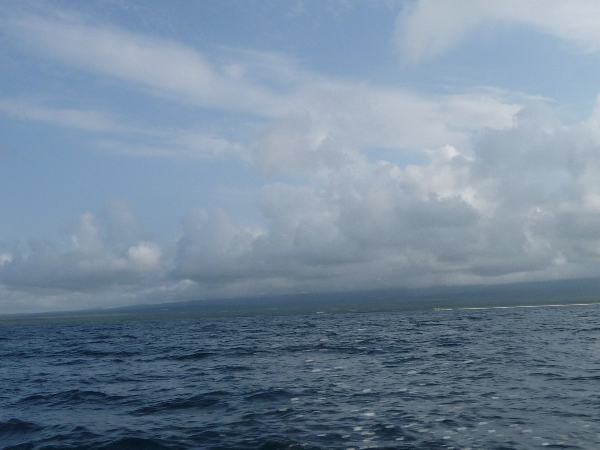
In the boat, heading out on the open waters. It was very bumpy, with the front of the boat rising high over the swells and then slamming back down, as if I were dropping five feet onto concrete … and yes, I was near the front of the boat.
The entire journey took over two and a half hours.
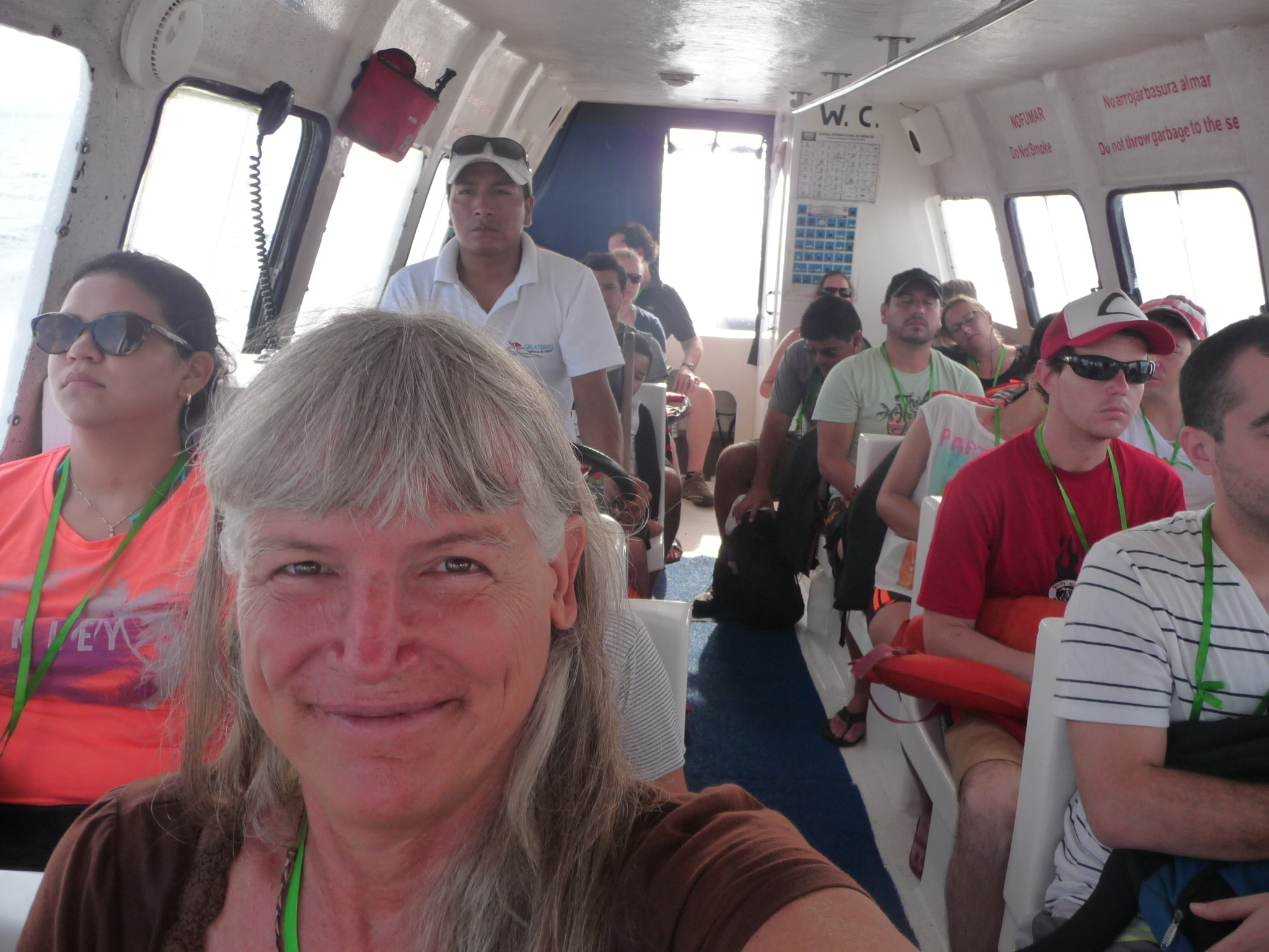
Me, at the front of the boat, managing to smile in spite of the rough ride.
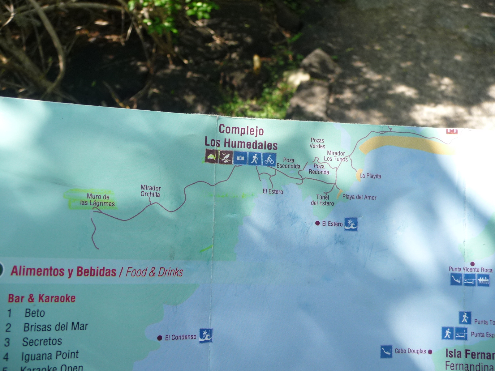
After locating a delightful little hostal for $20 per night (with air conditioning), I set off to explore. Soon, I decided to rent a bicycle and follow a six kilometer trail out to the west of town.
This map (if you click to enlarge) shows the route, out through the “Complejo Los Humedades”.
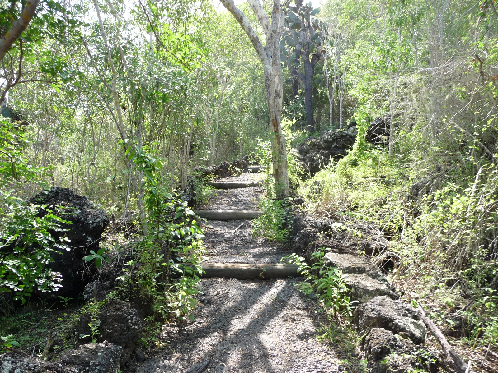
In places the trail was so sandy that I had to walk my bicycle … and in other places so steep that I also had to walk. But most of it was very easy, and delightful riding.
The first kilometer or two was along the beach, not yet on National Park land. This is the first sandy area where I had to walk.
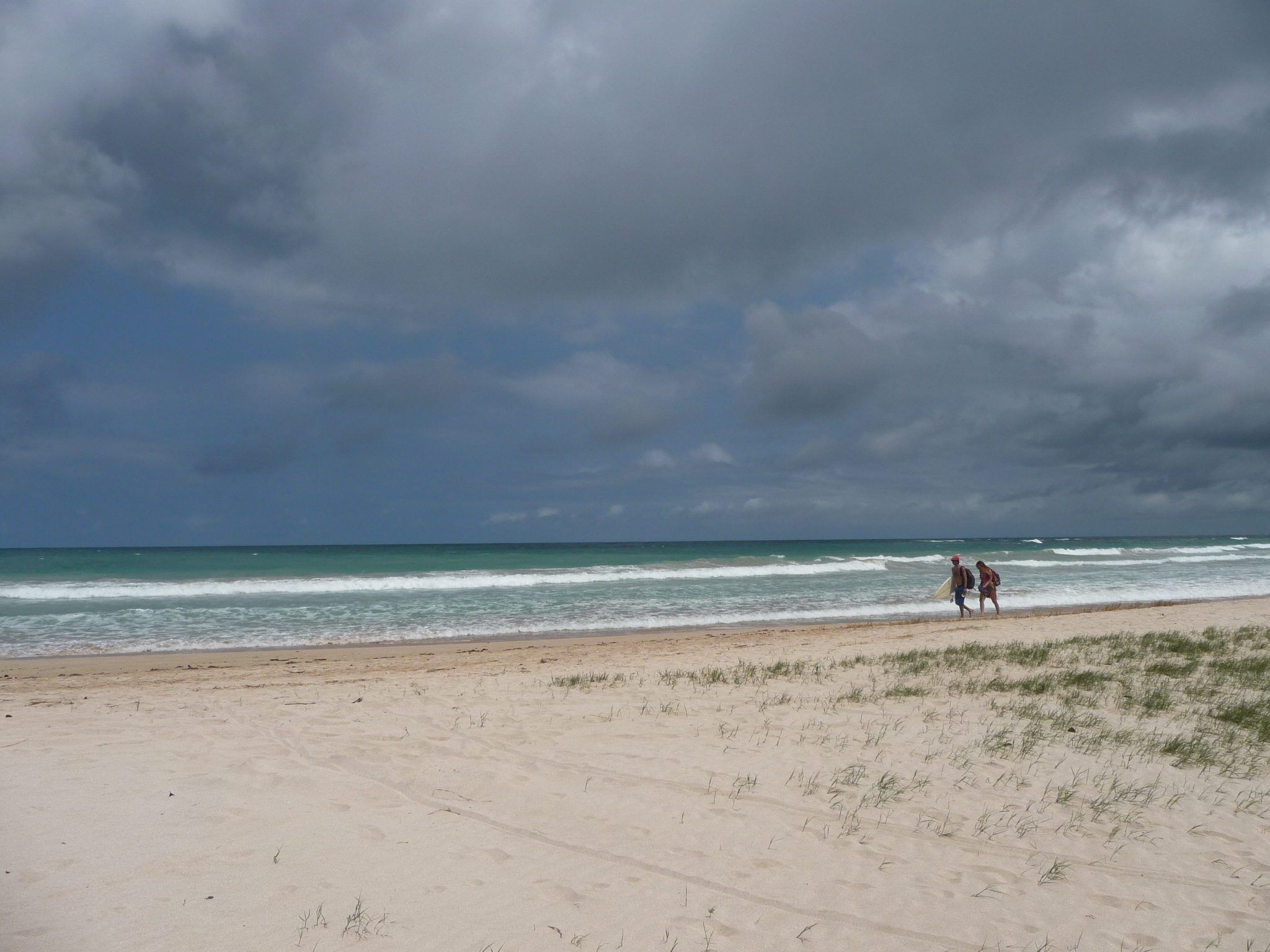
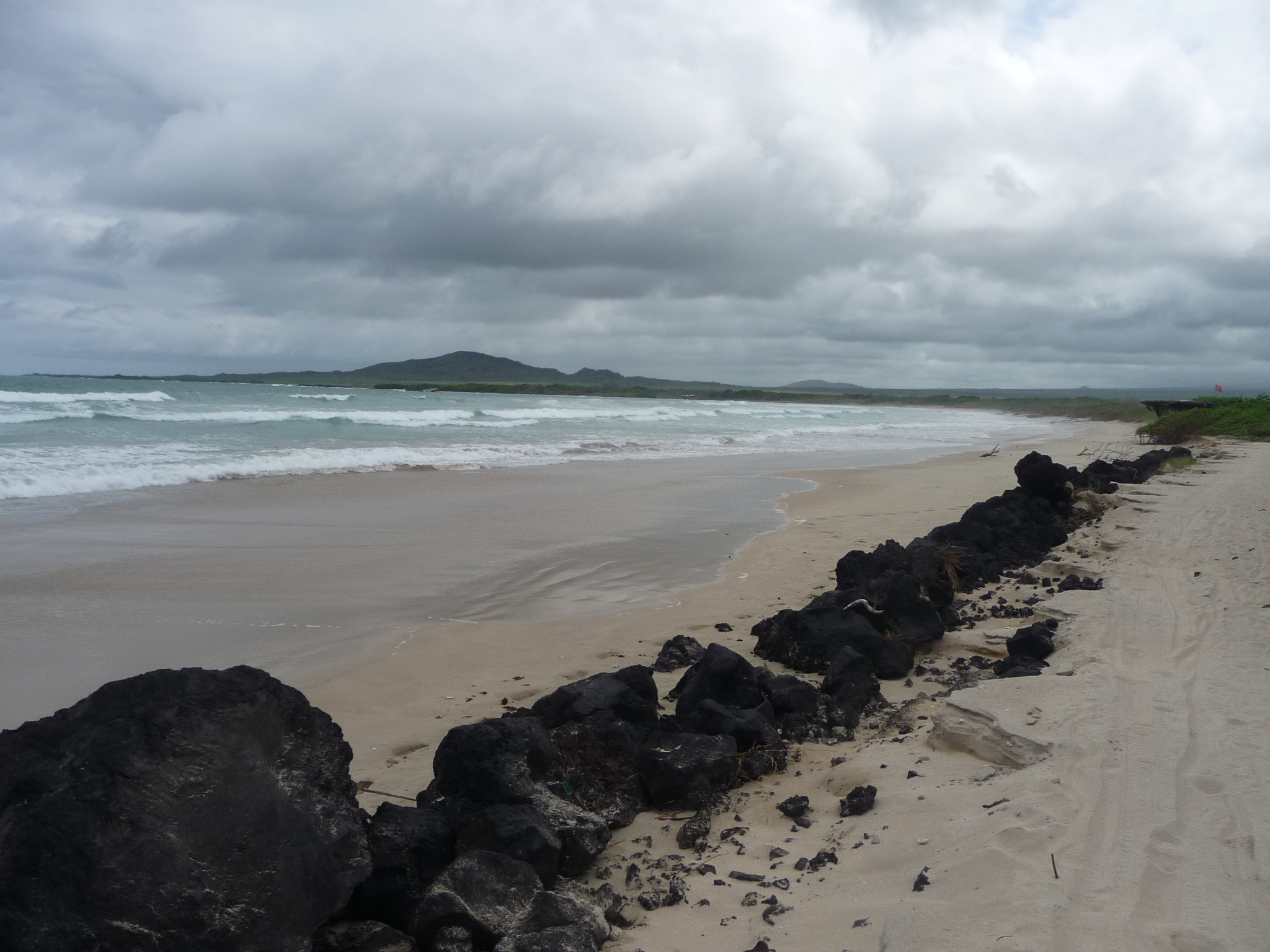
The beaches here are incredible. If I had known this before coming, I would not have scheduled my return boat ride … giving me a few extra days to just enjoy the surf.
I spent a little time out here wading in up to my chest … and you could walk way out there before being over your head.
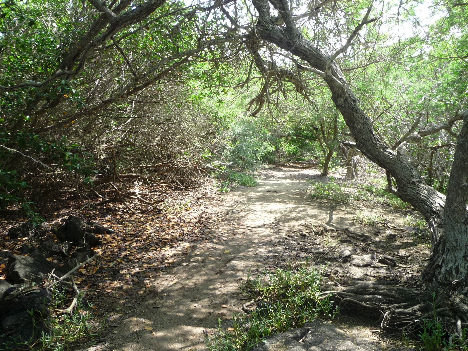
Most of the road was more like this … very nice for bicycles.
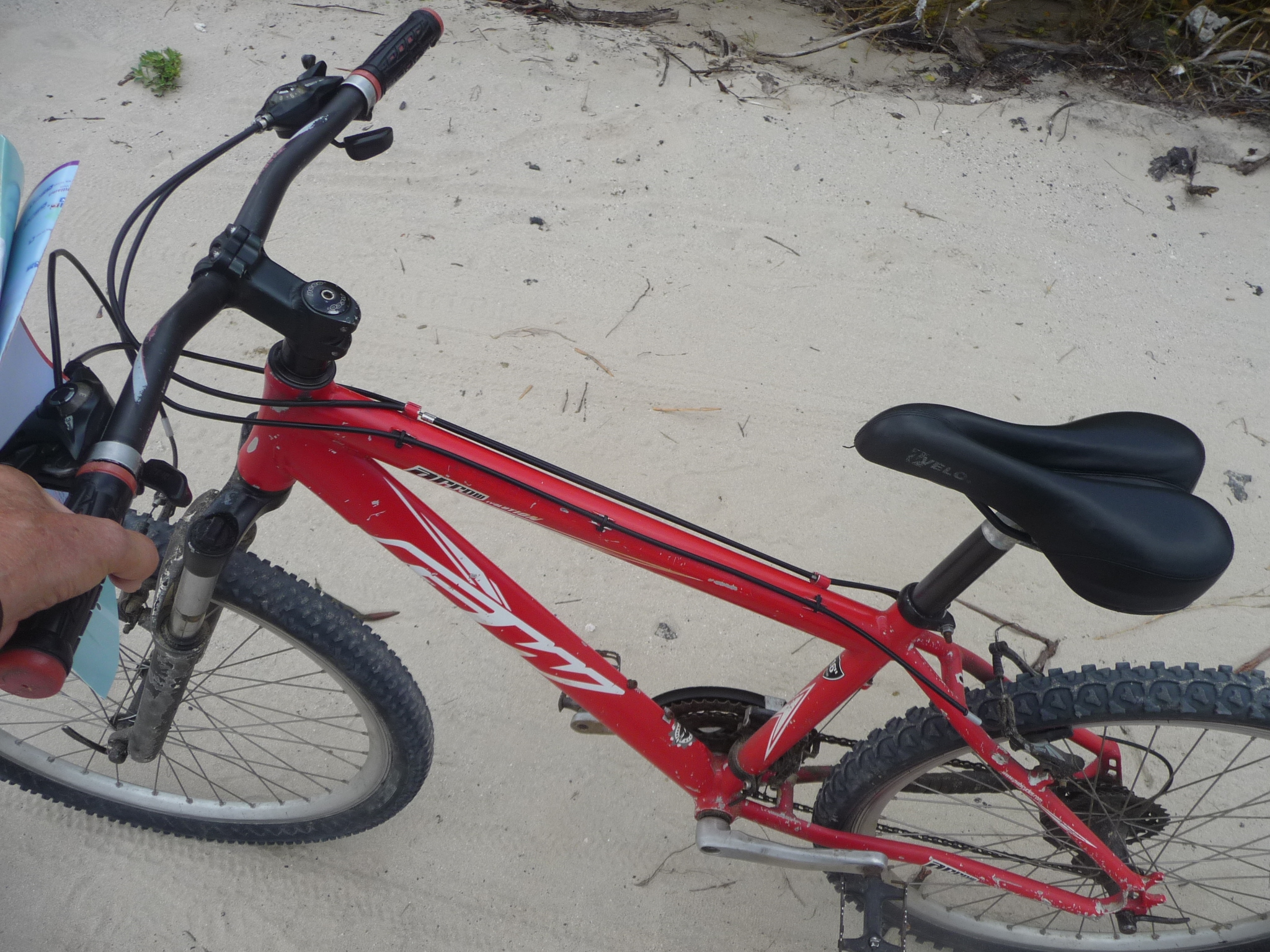
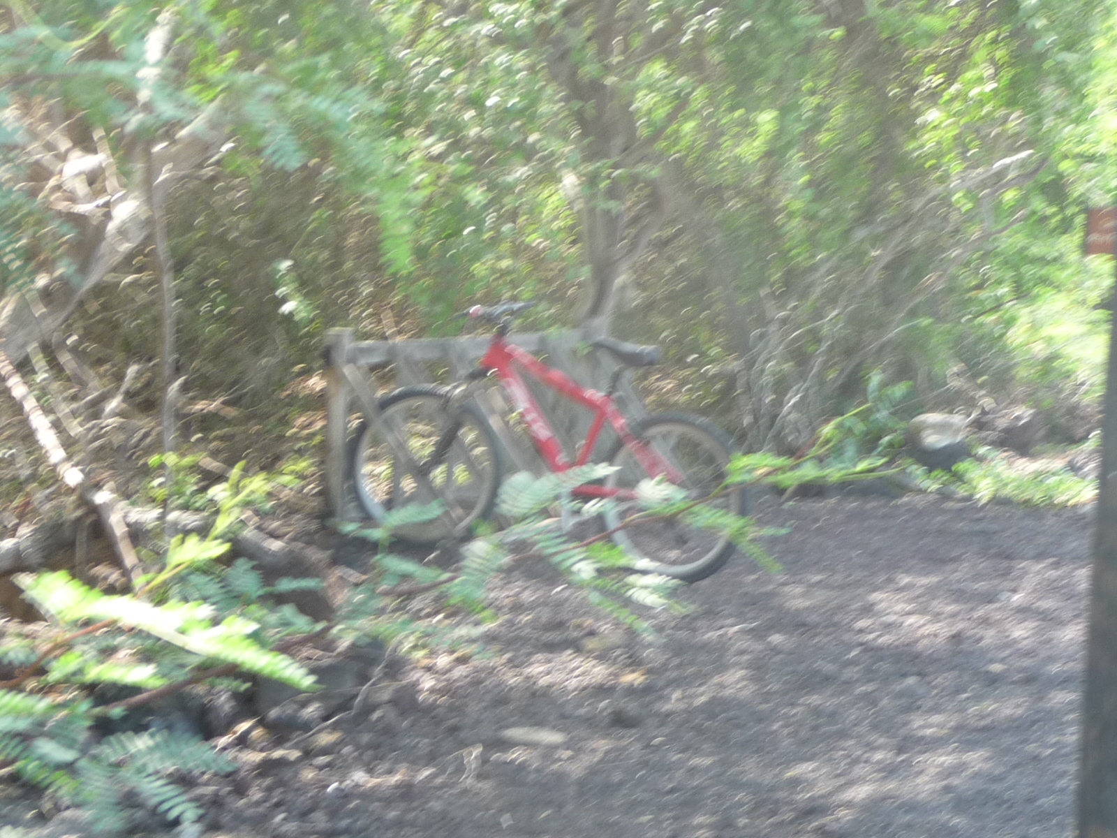
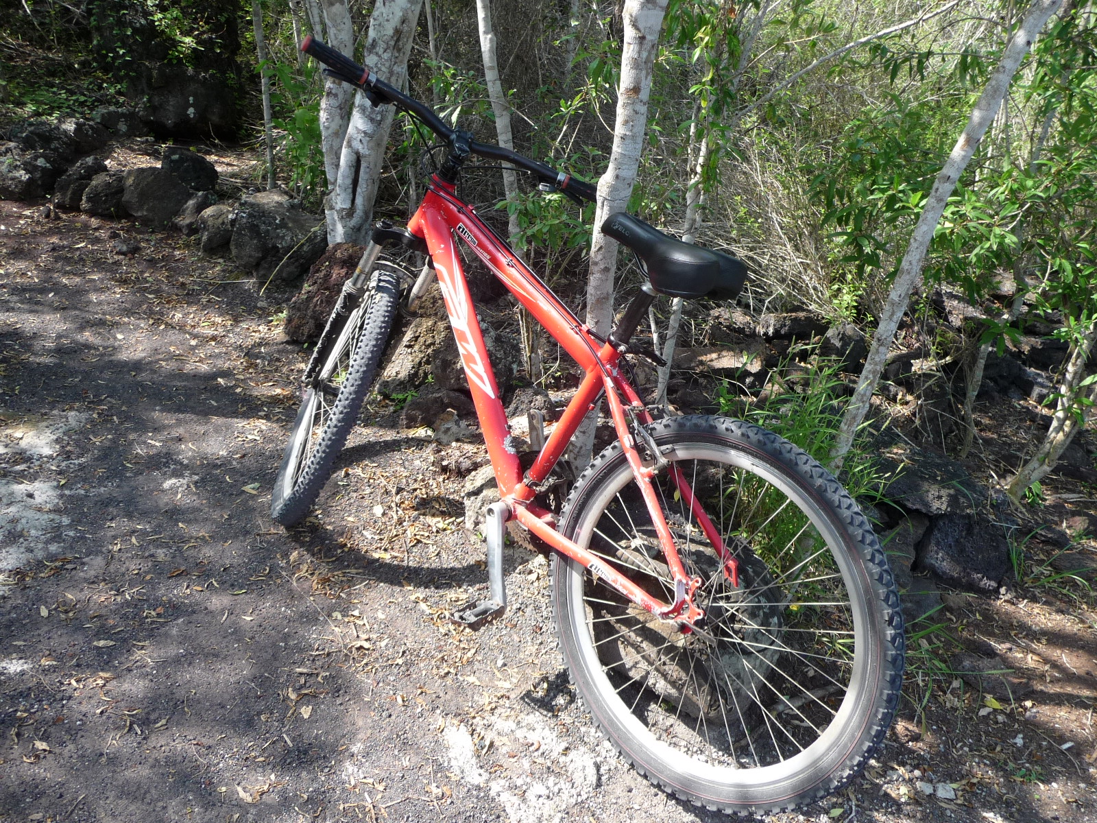
This is my little red transport.
Another beach area where I had to walk through the thick, loose sand.
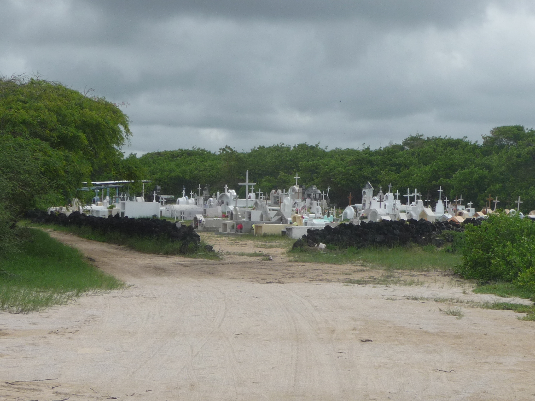
I soon passed by this local cemetery. I don’t know why, but I have always been fascinated by the history you find in places like this.
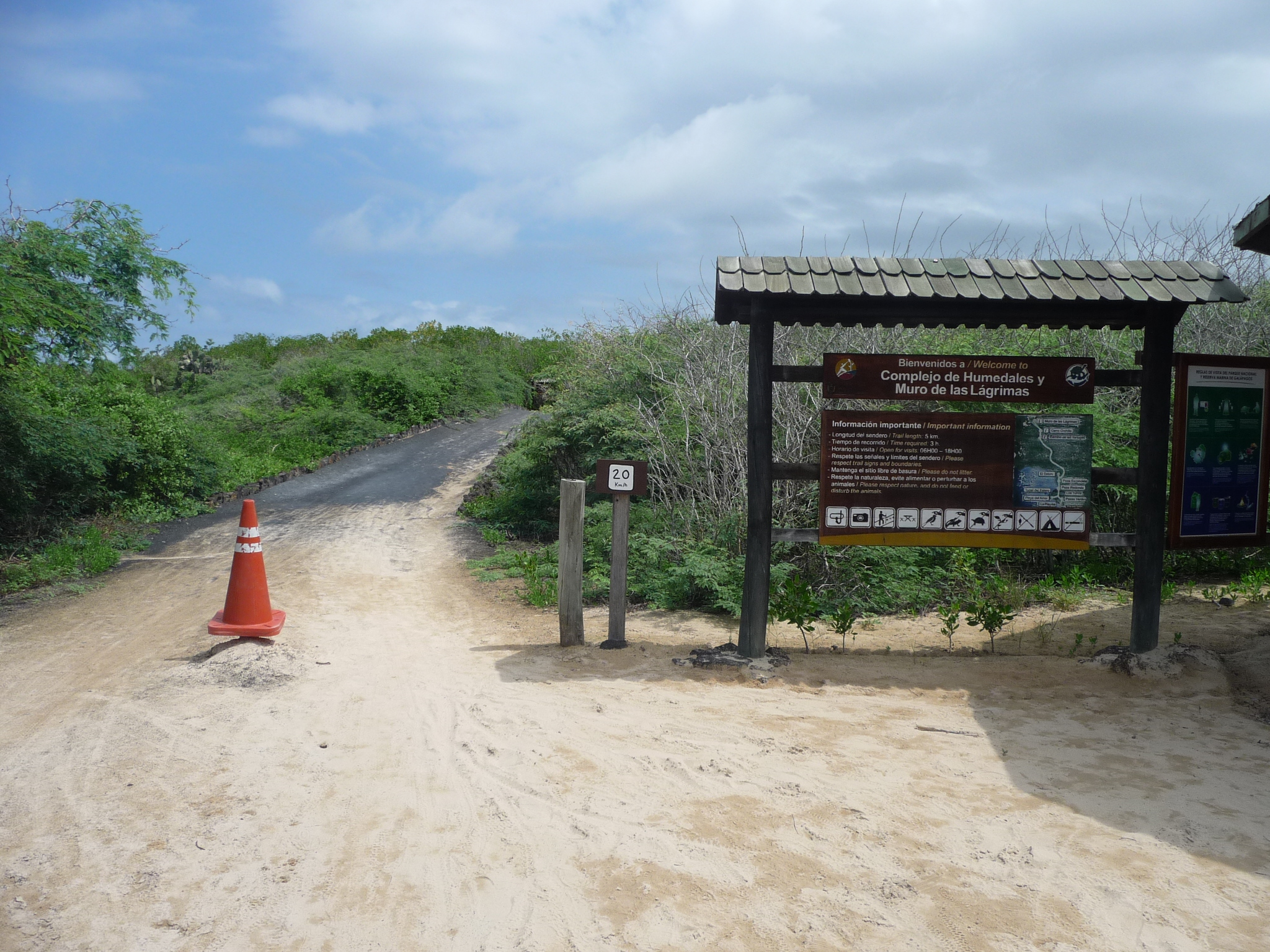
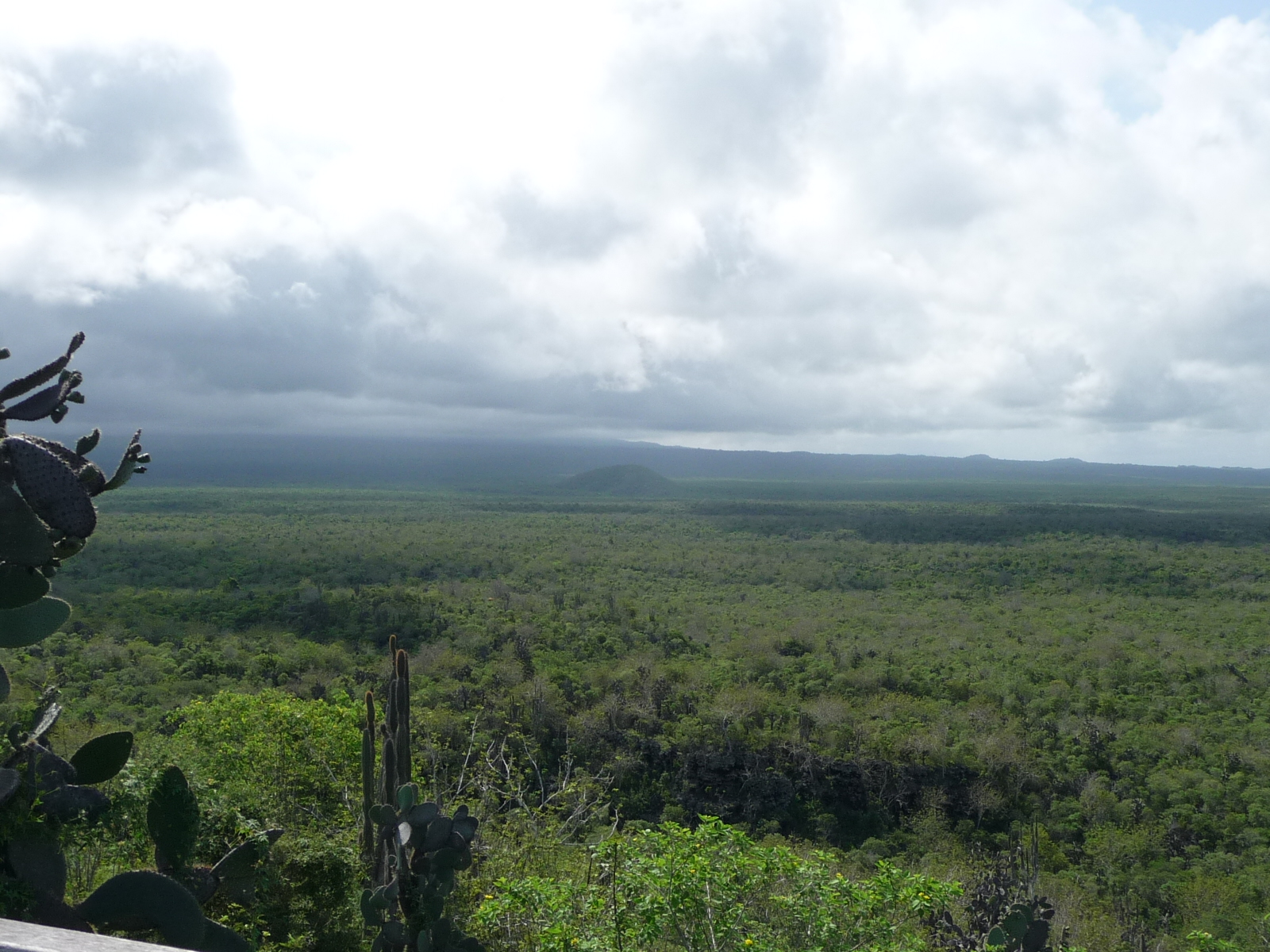
Finally, I reached the boundary of the National Park area. From here, the trail continues about five kilometers (around three miles).

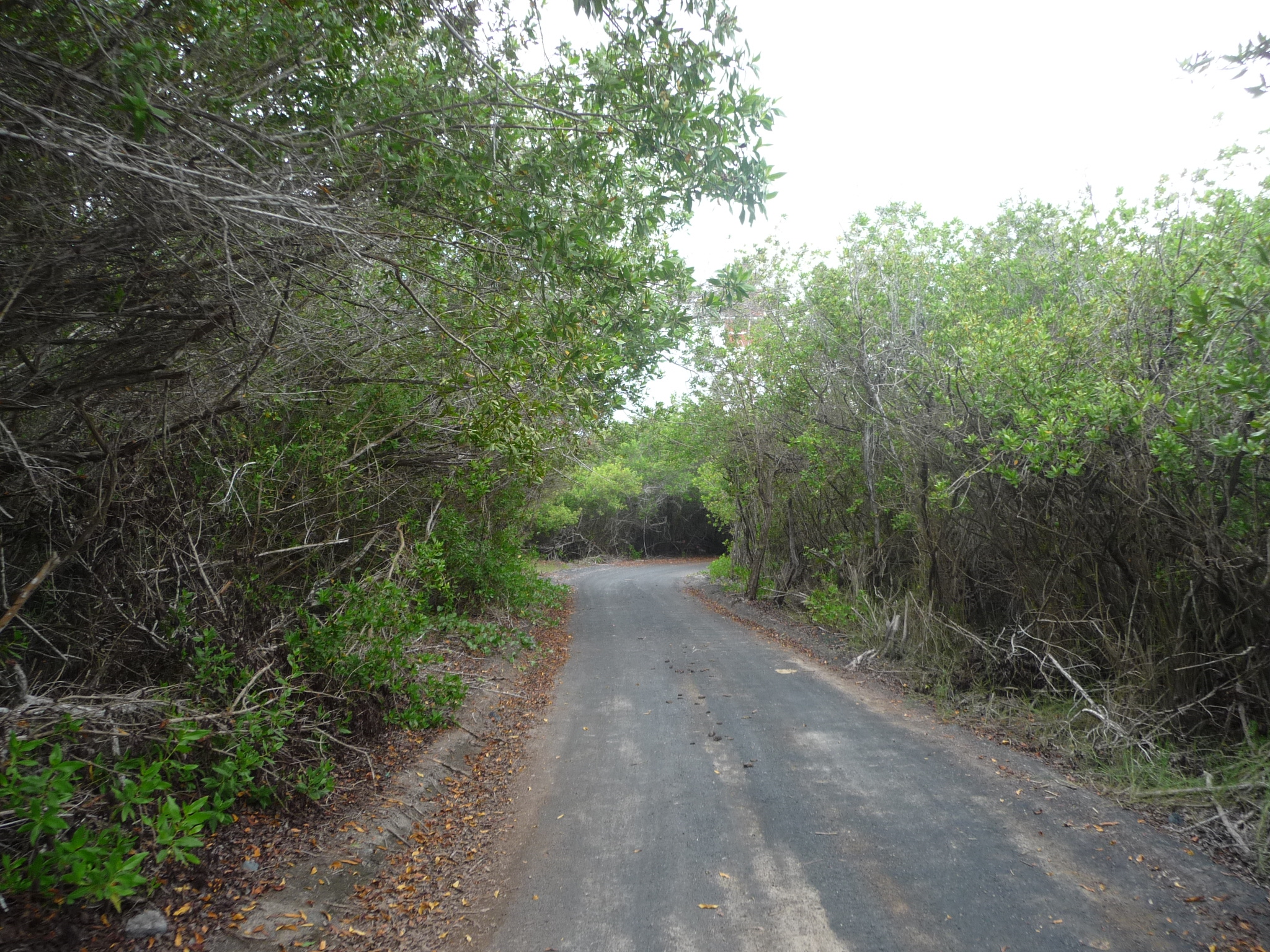
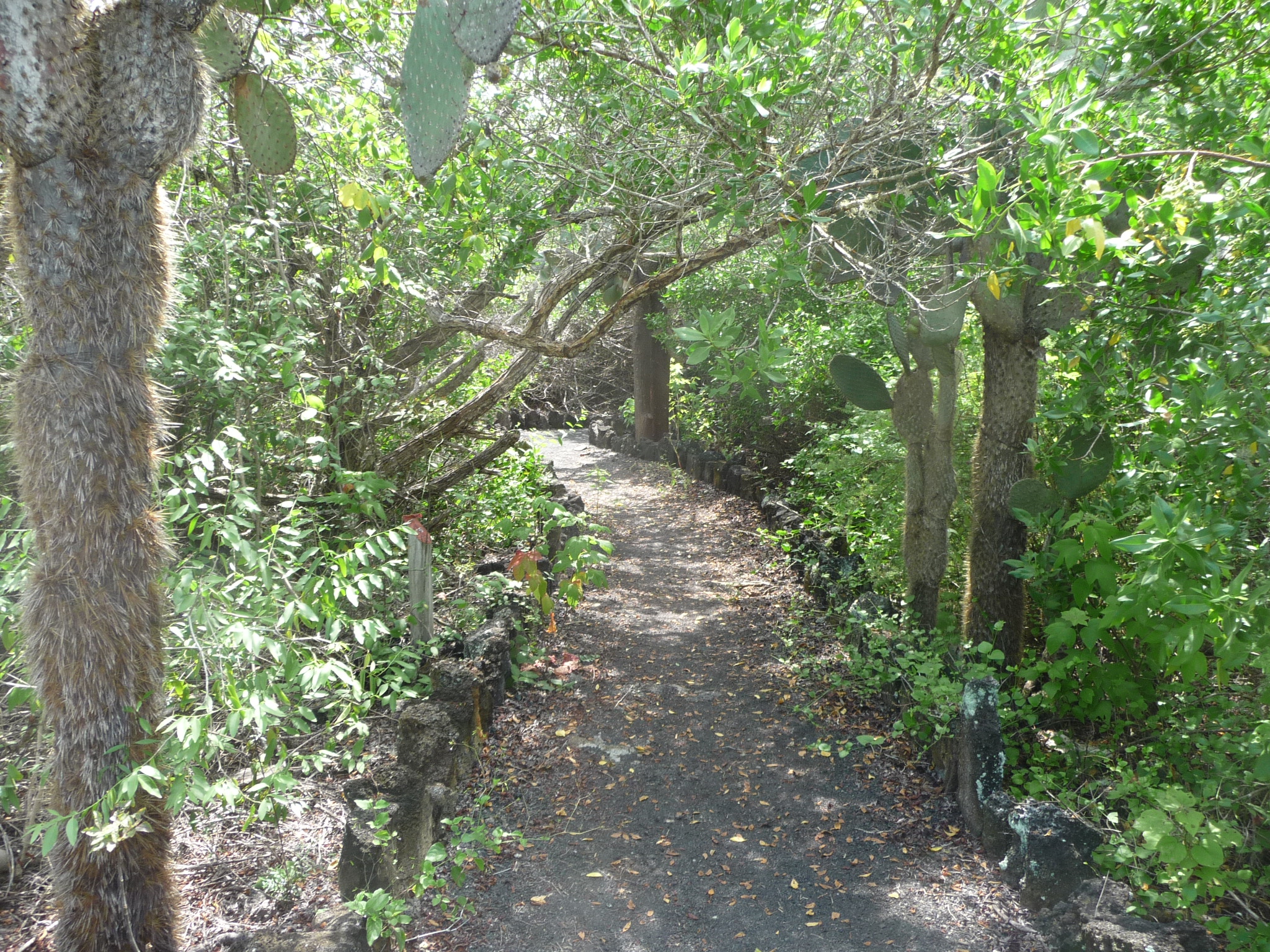
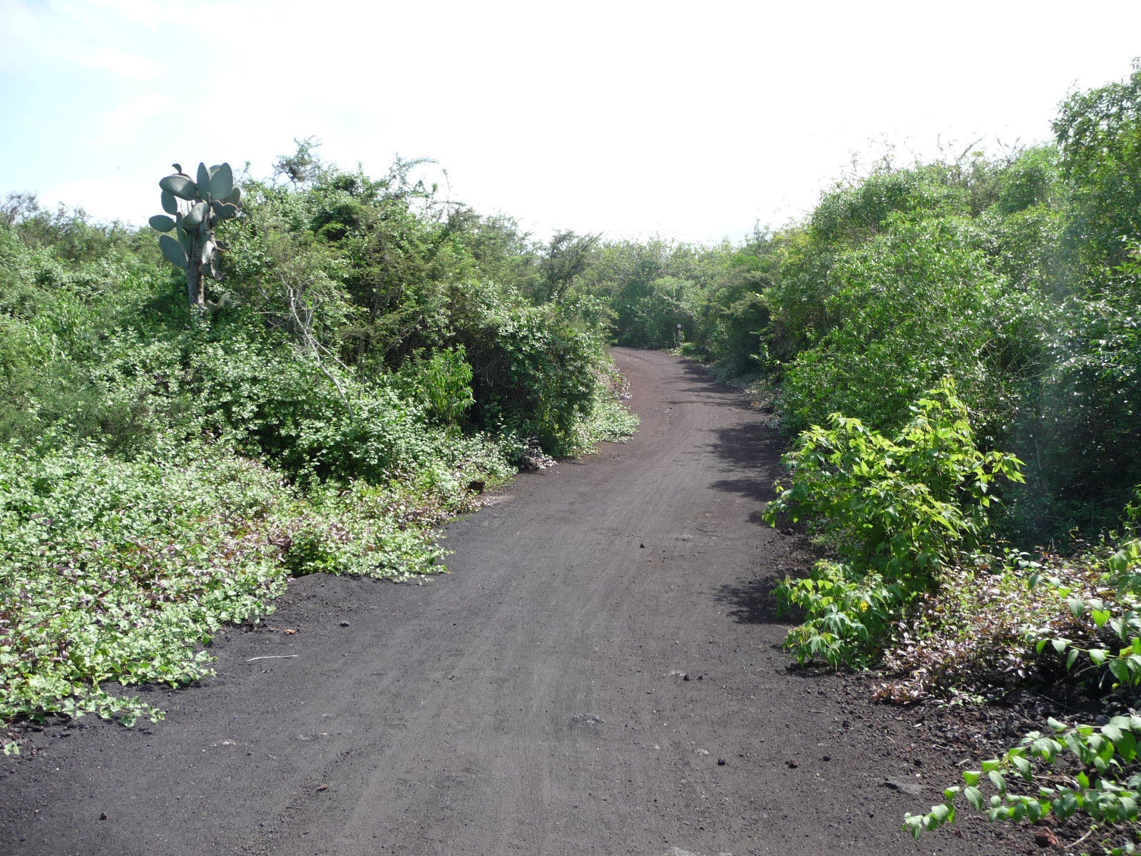
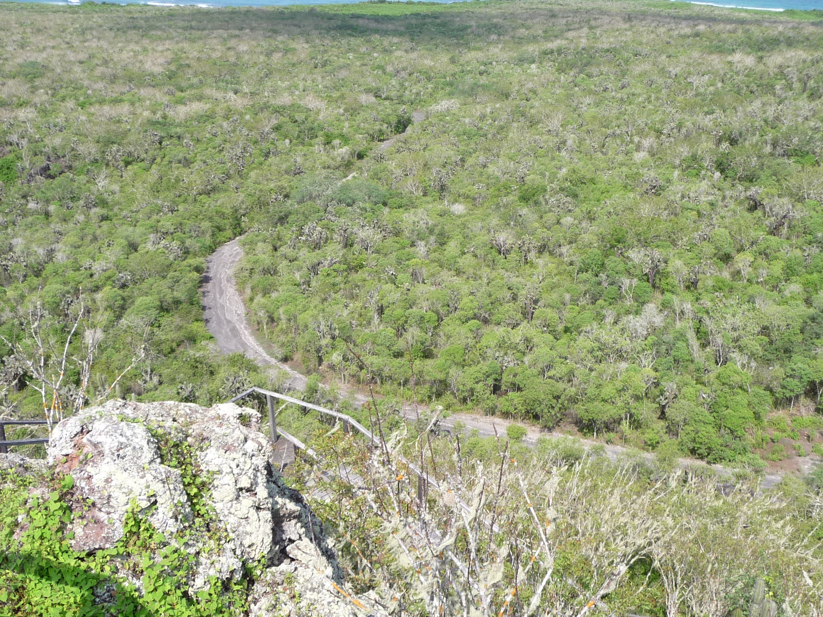
Continuing down the road. It is lined on both sides by thick brush, and is off limits to explorers.
Every so often, there were signs pointing off to little side trails that took you to interesting places.
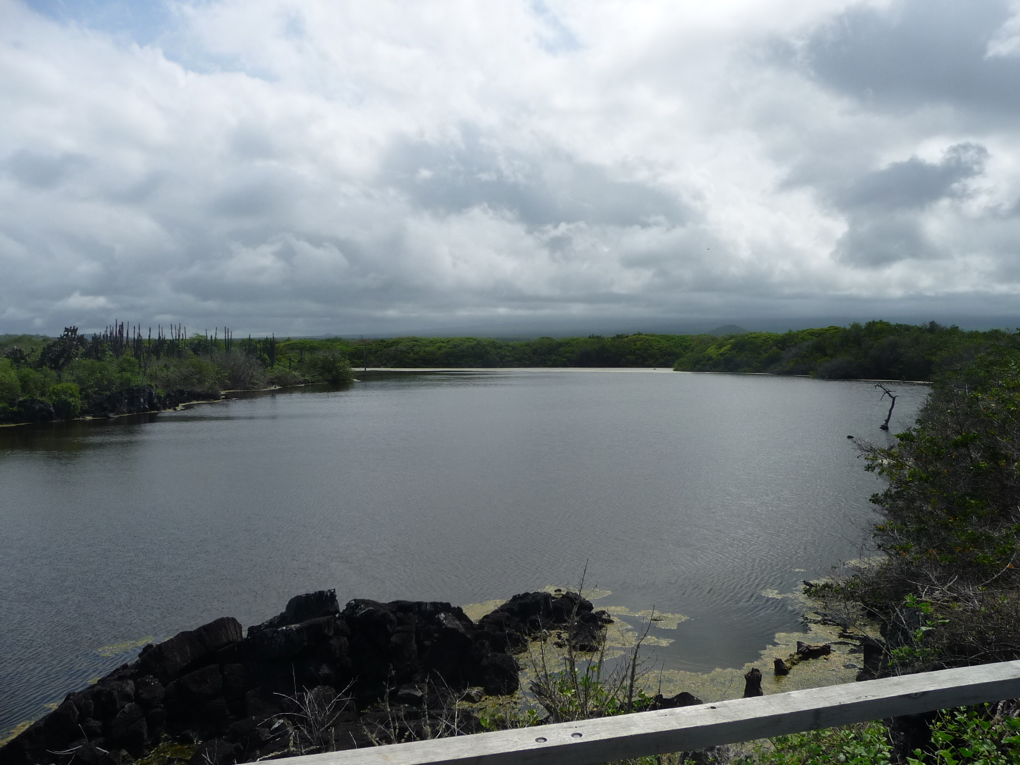
The trail leads to a small freshwater lake. I rode my bicycle most of the way … and did not notice until I left that I was supposed to leave it at the smaller trail’s entrance.
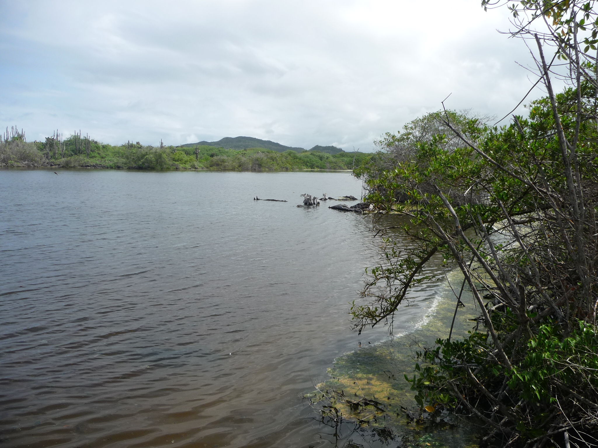
This is the lake.
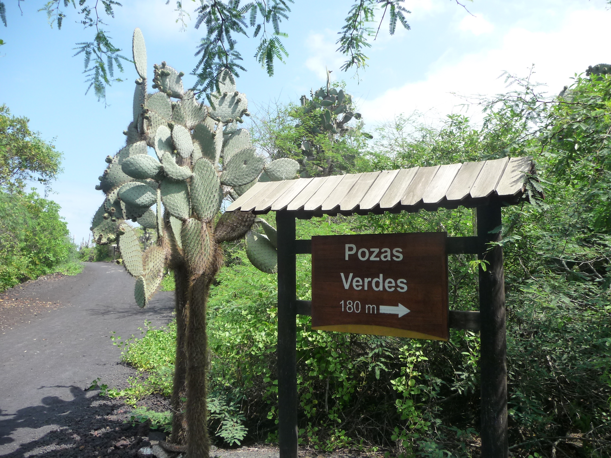
Another sign leading to “Green Wells”
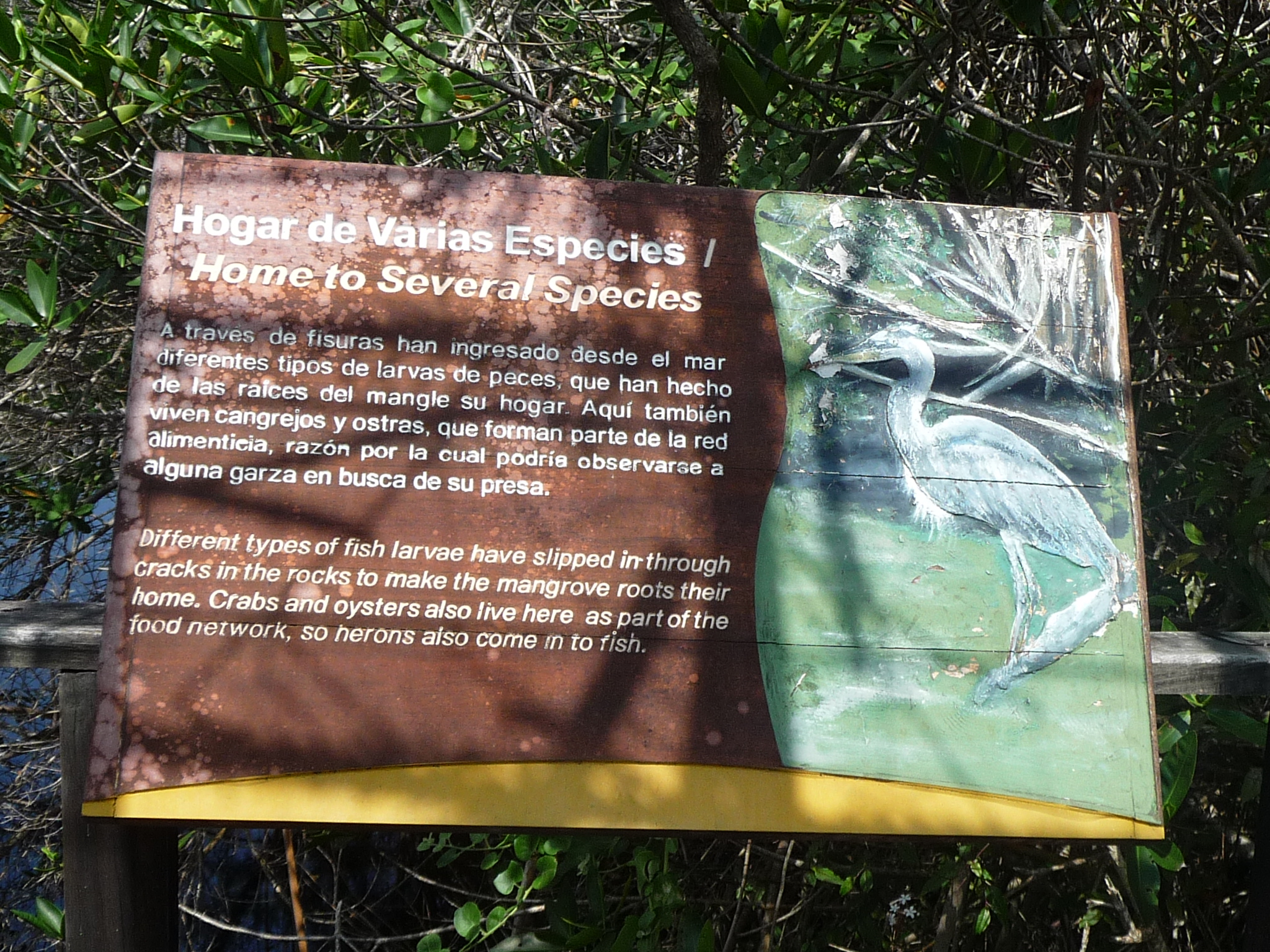
This sign, by the “Green Wells” talks about how different species have come through cracks in the rocks to make the mangrove roots their homes.
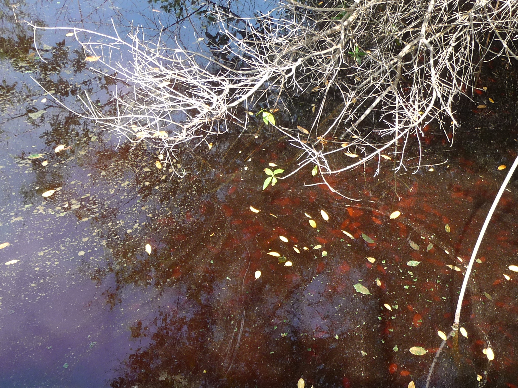
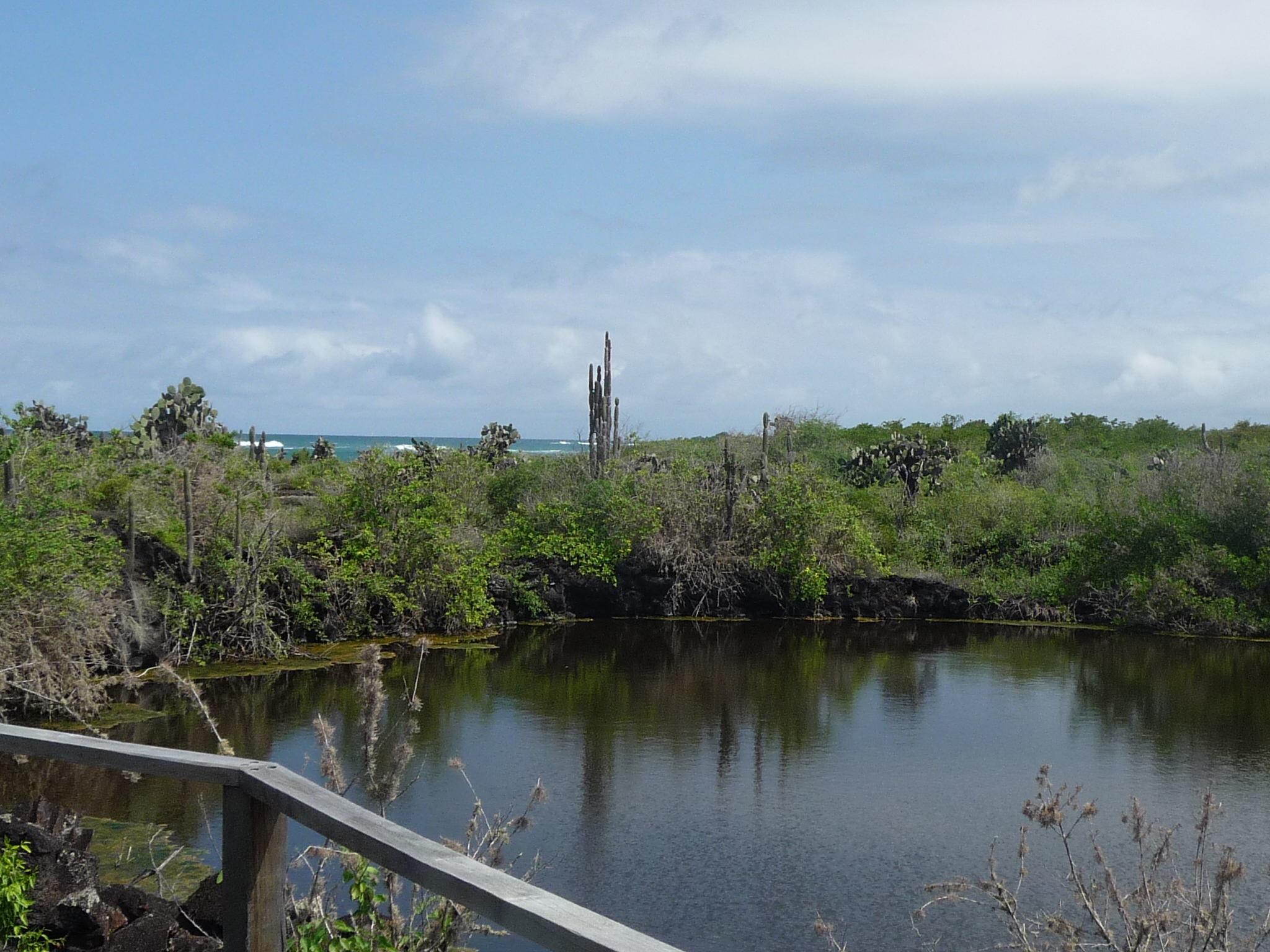
… and this is “Green Wells” … a mangrove pond with a murky color caused by the mangrove roots.
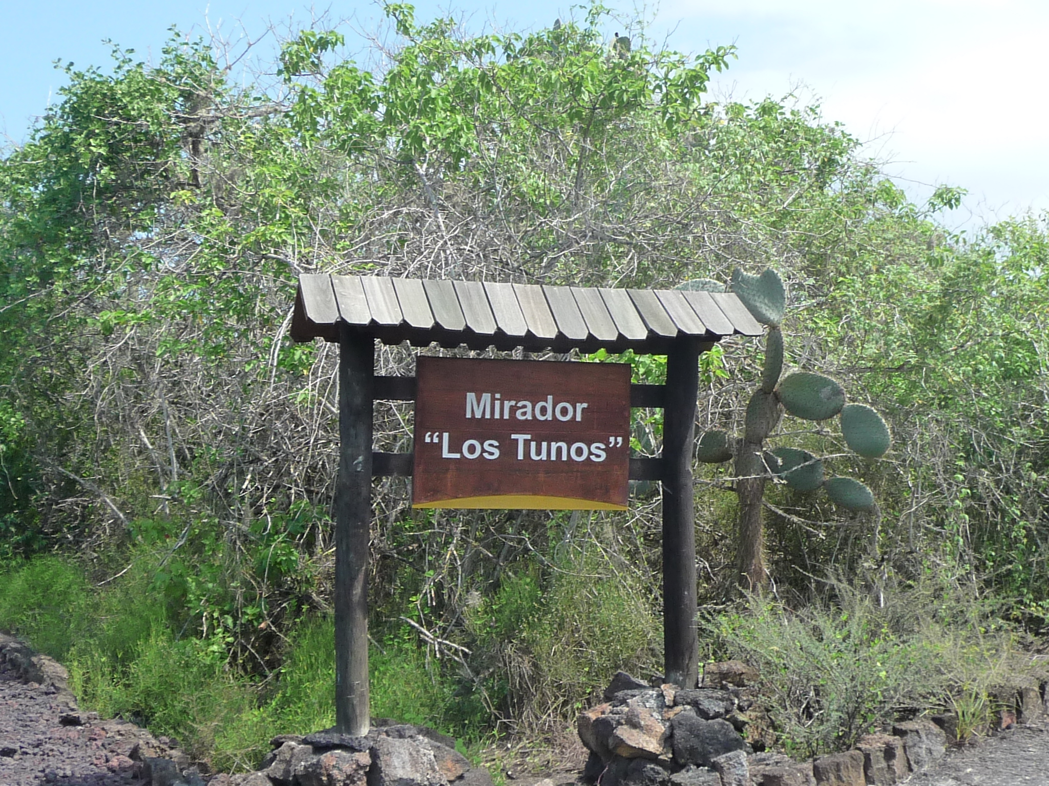
The next trail leads to a lookout area for “Los Tunos”
I follow every single one of these side trails. When I reach the end of this one, I discover that “Los Tunos” is another lake.
A part of the lake looking left.
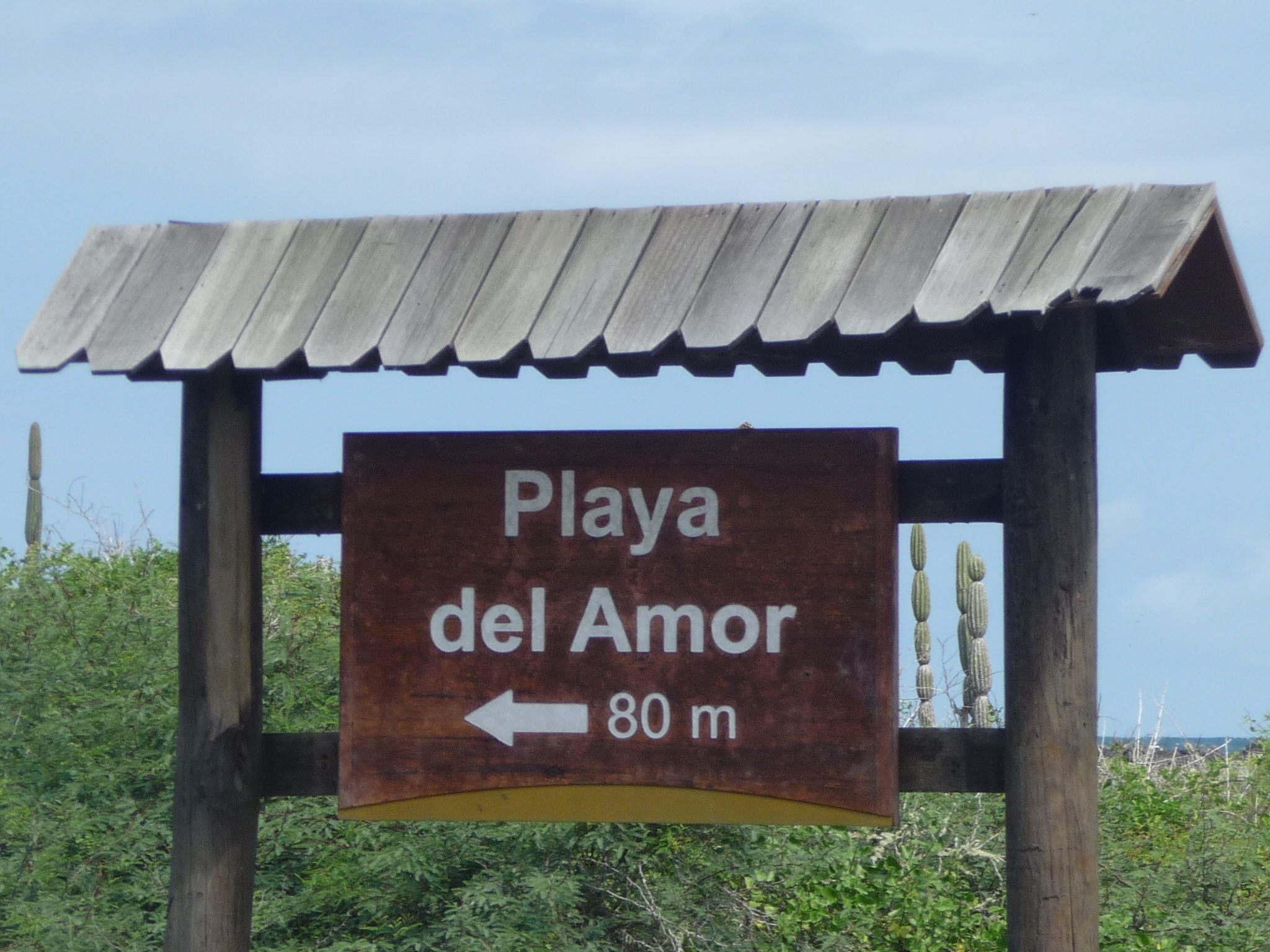
This one reads “Beach of Love” or “Lover’s Beach”
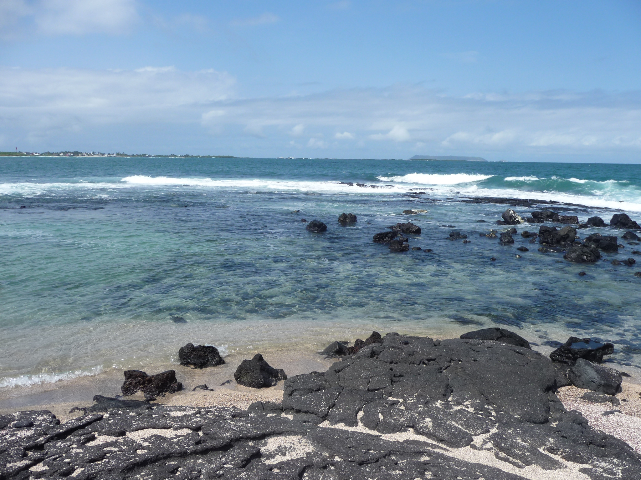
It is a small, rocky beach … with signs that talk about how it is still in the early stages of forming a more developed, sandy beach, waiting for the natural erosion …
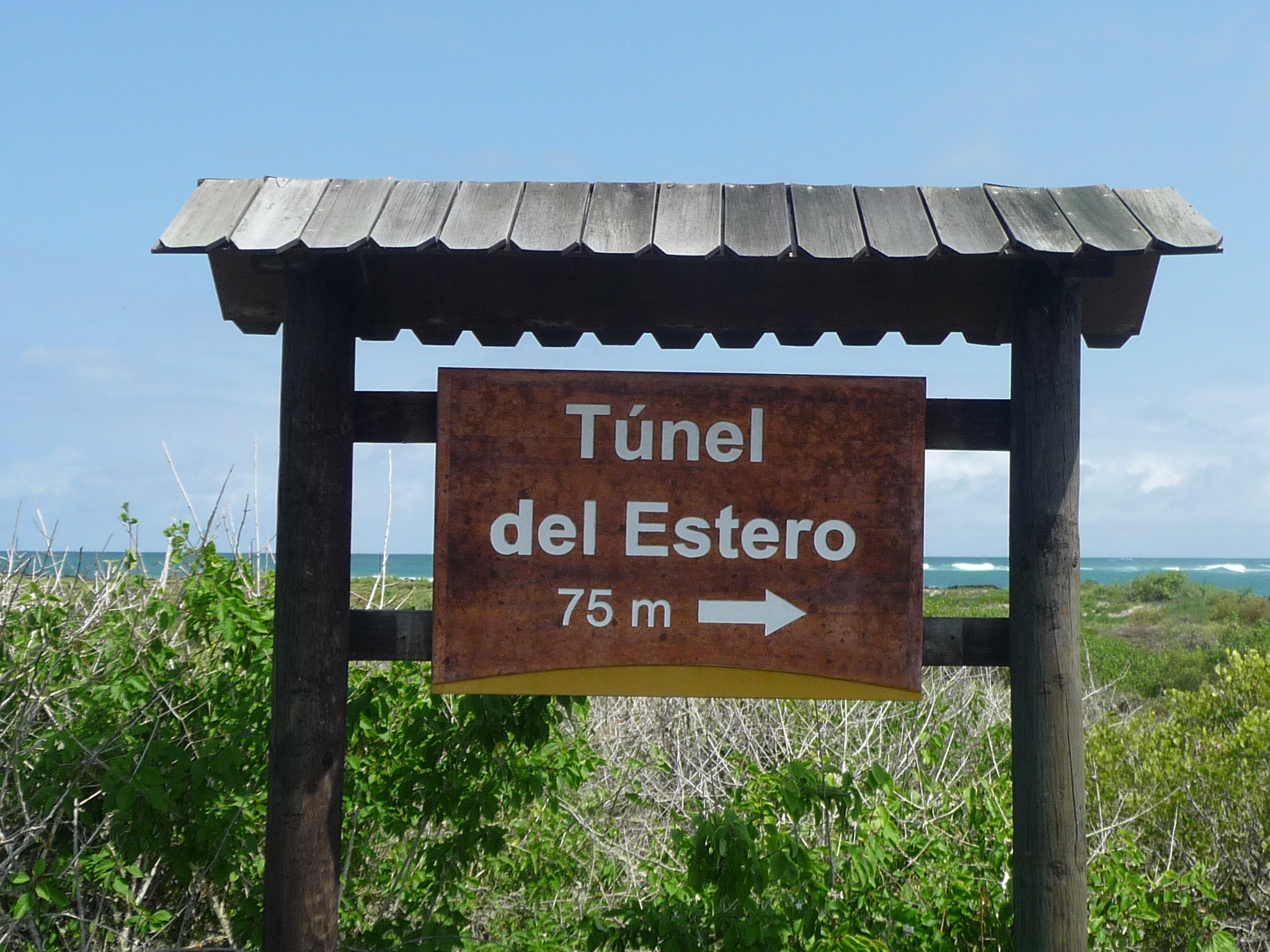
By the beach is this little trail to the “Tunnel of Estero”
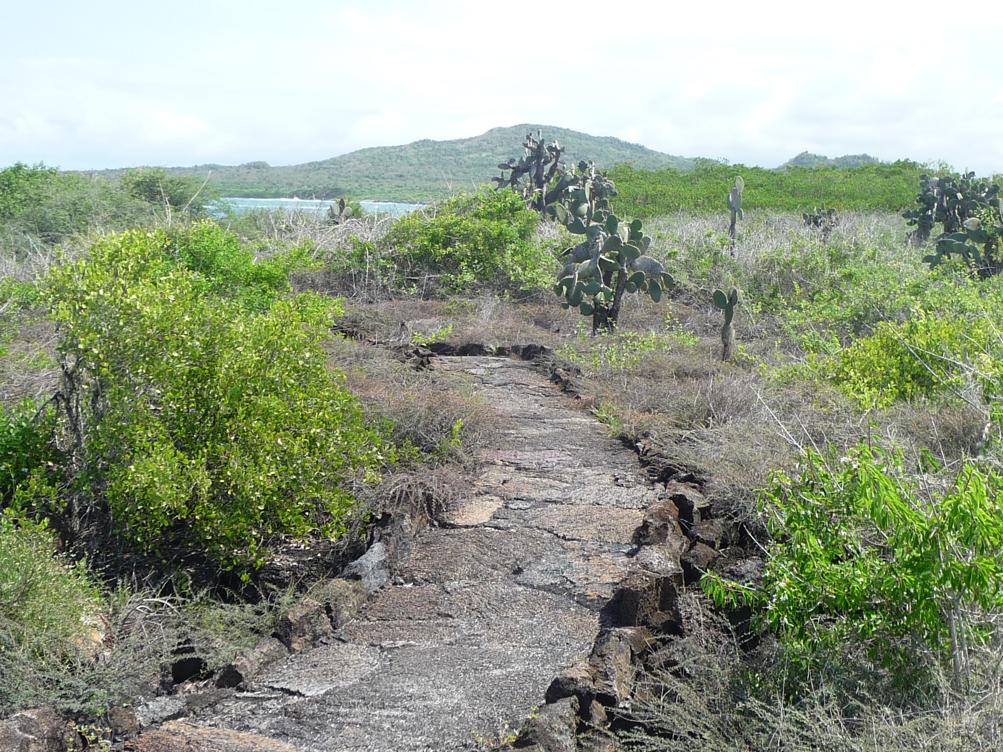
This little trail is on top of lava, and is only a couple hundred feet long.
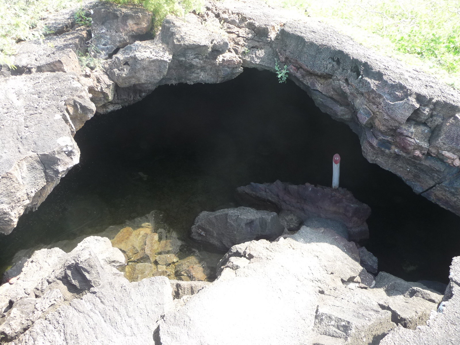
Looking down into the tunnel.
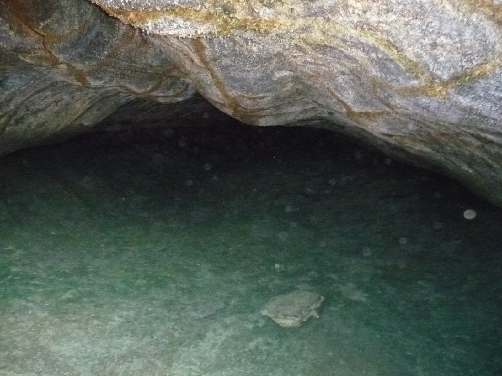
Looking inside with more zoom … there are even a few fish in here.
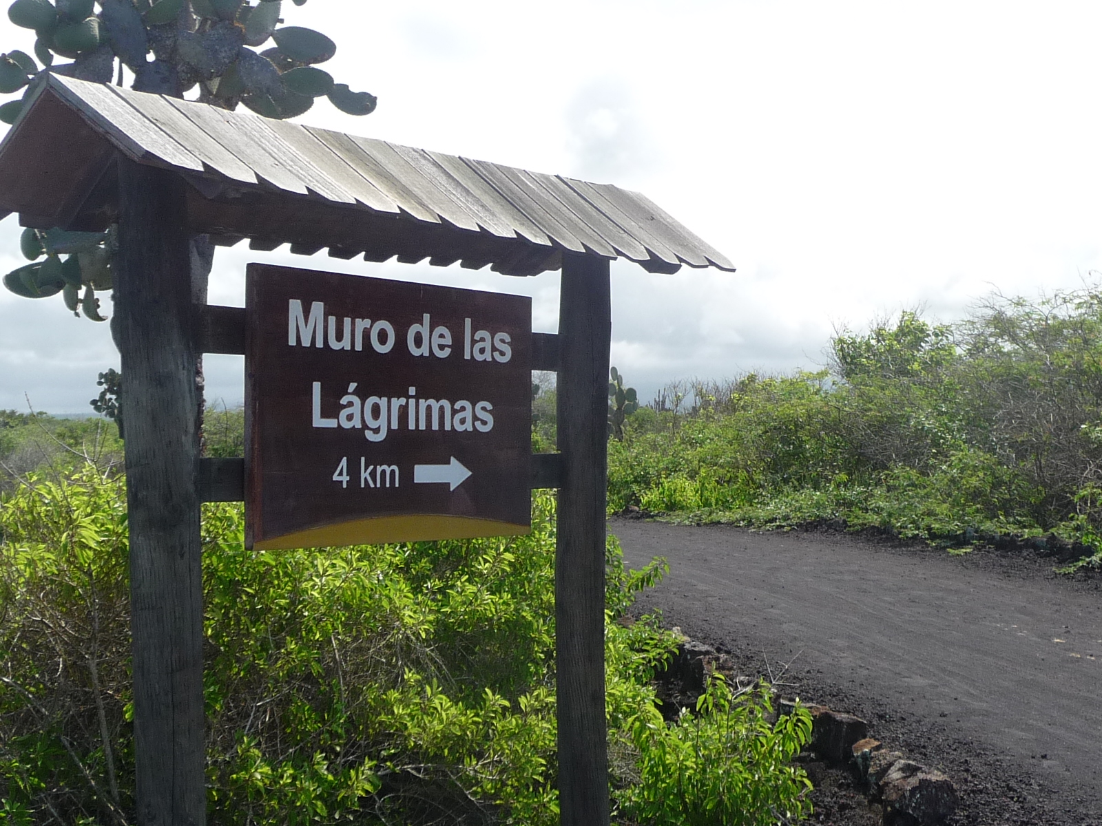
This sign points toward the end of the road I am following, telling me that the “Wall of Tears” is still four kilometers away. This is the only way I know how long the trail is (more or less).
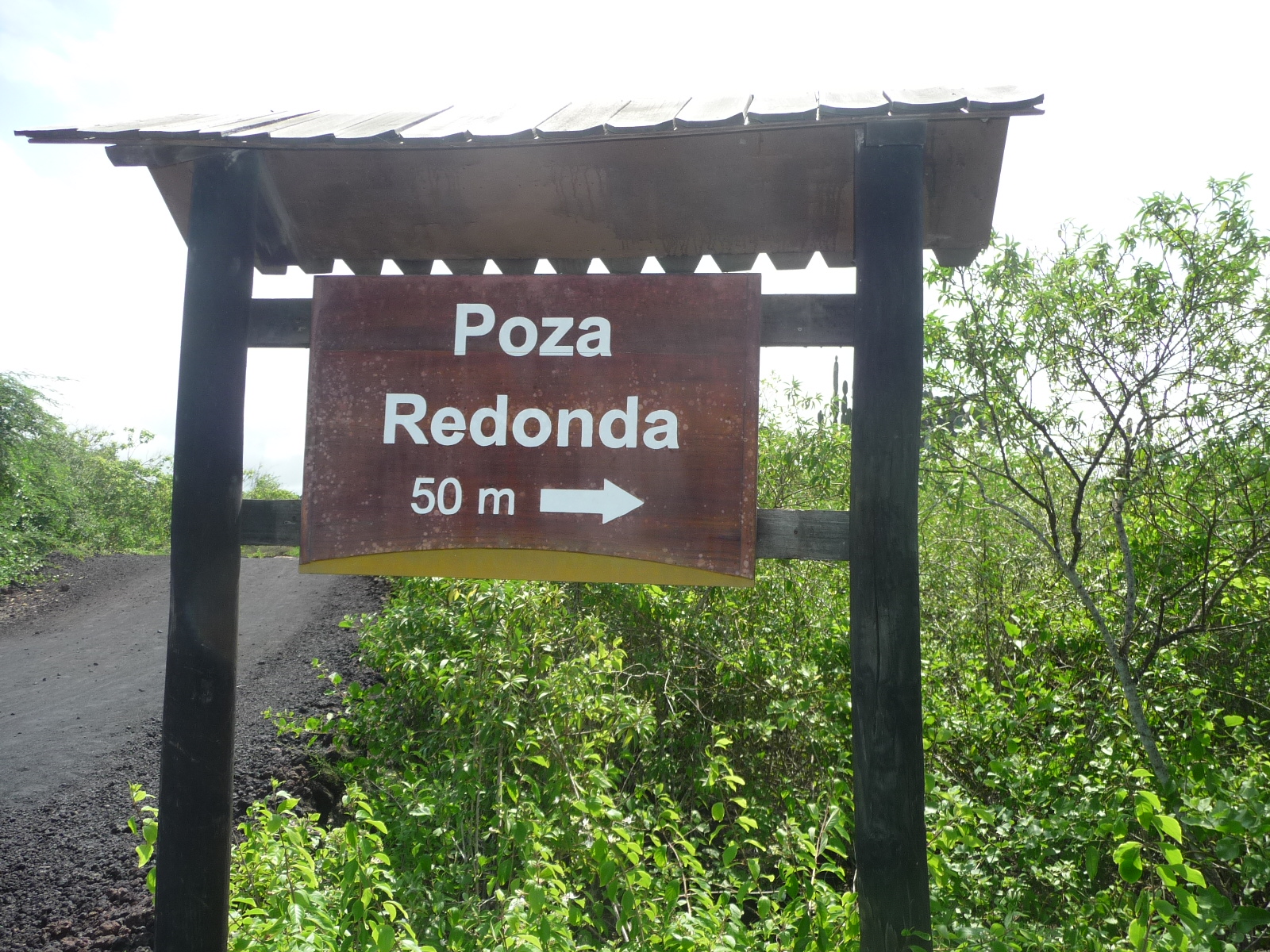
This sign points to a “round well”.
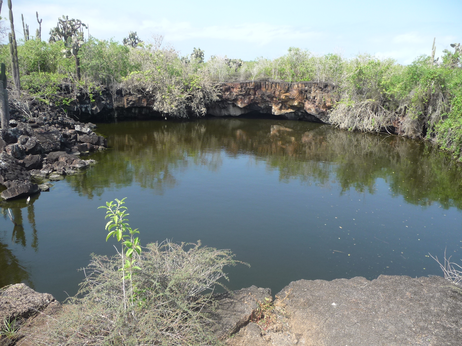
… and here it is.
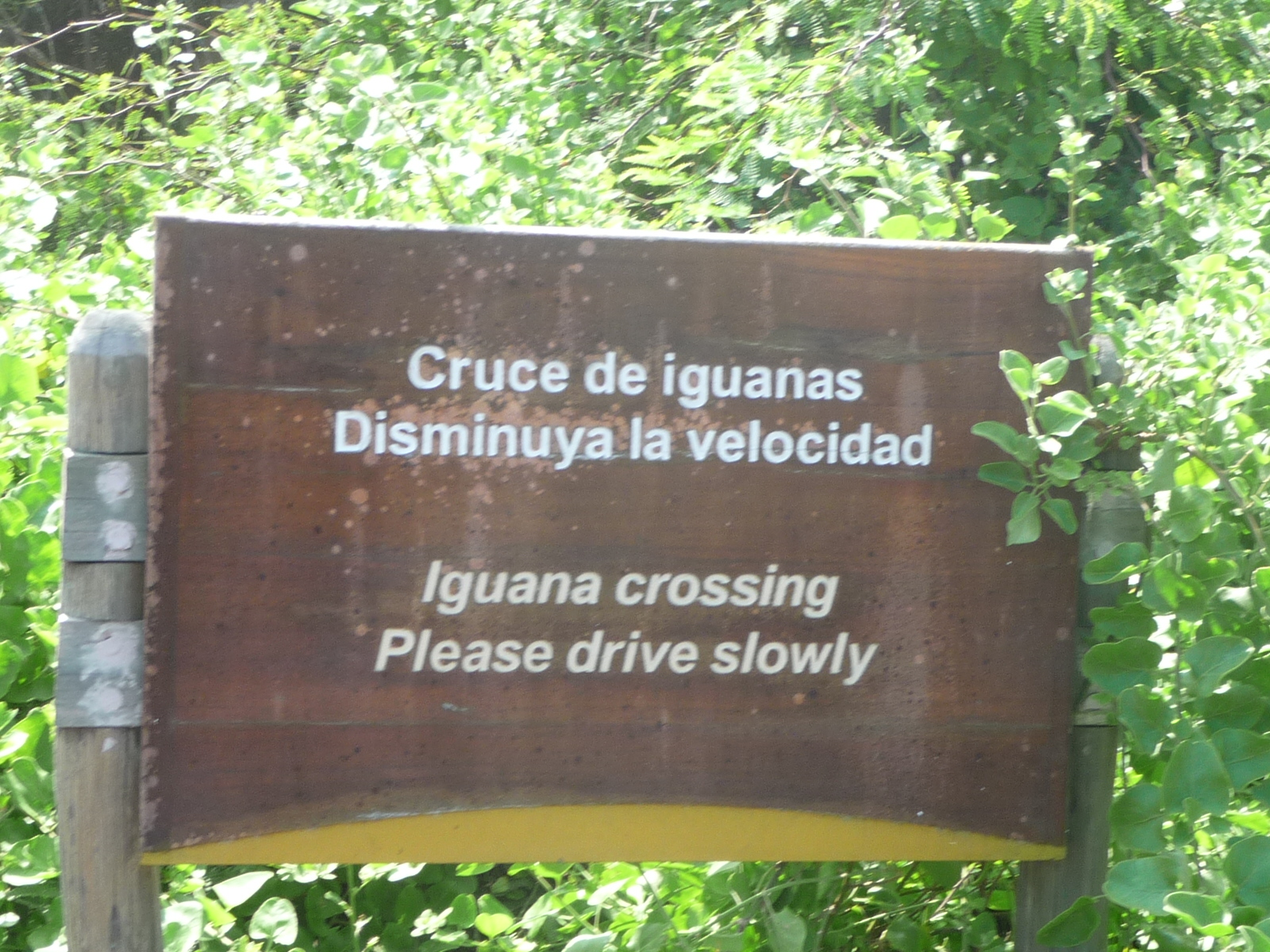
I giggled when I read this sign: “Iguana Crossing … Please drive slowly”.
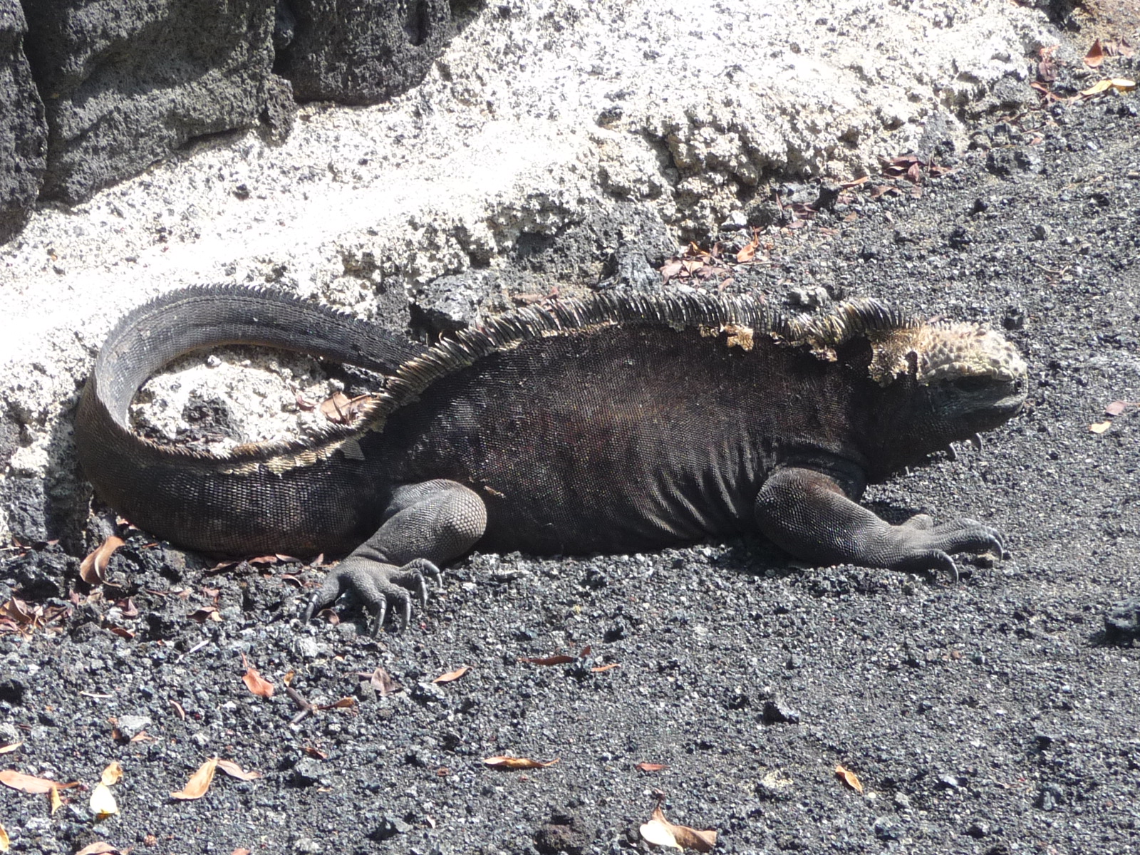
The first iguana I saw along the road.
Same iguana without the zoom.
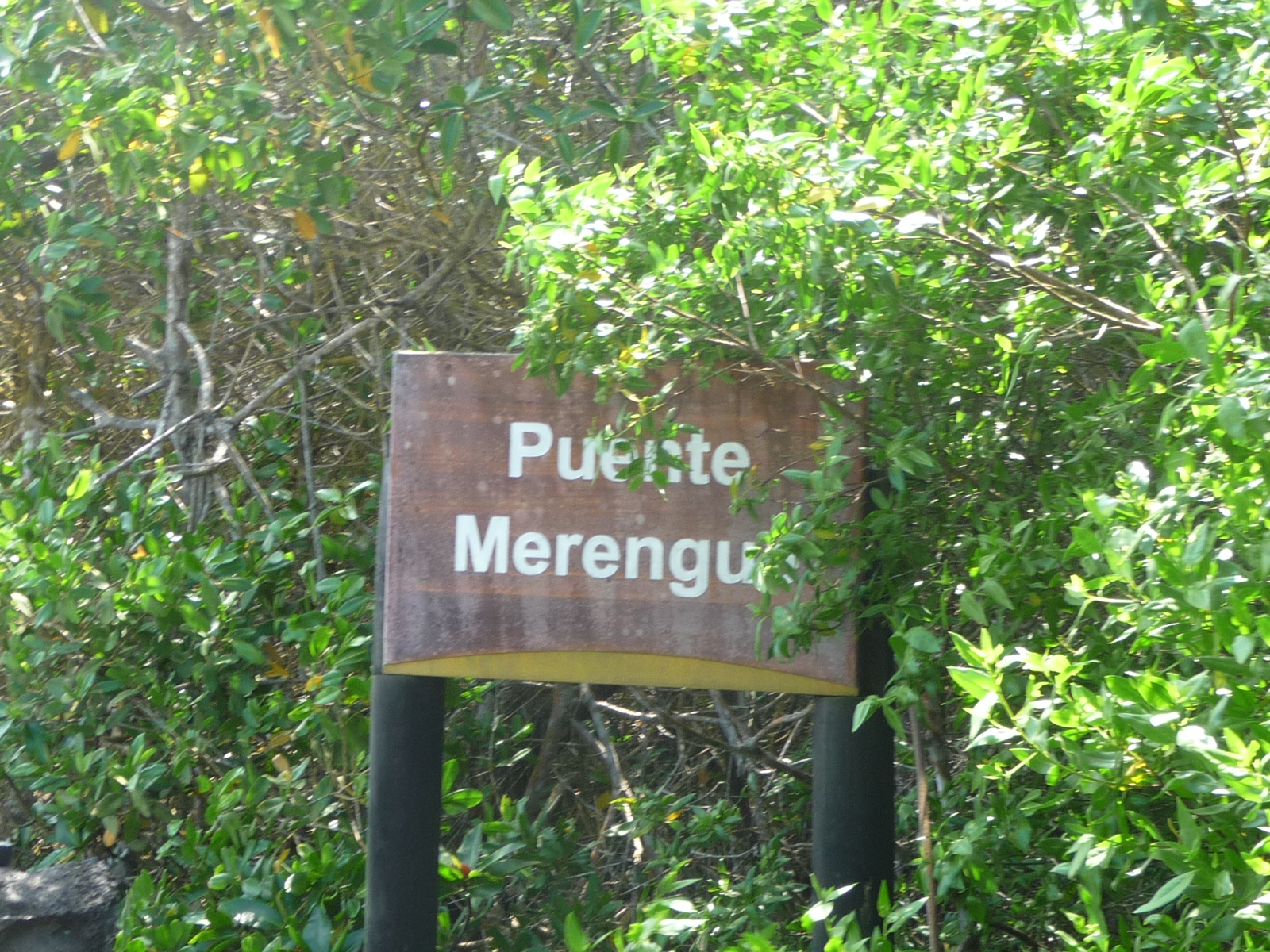
“Merengue Bridge”
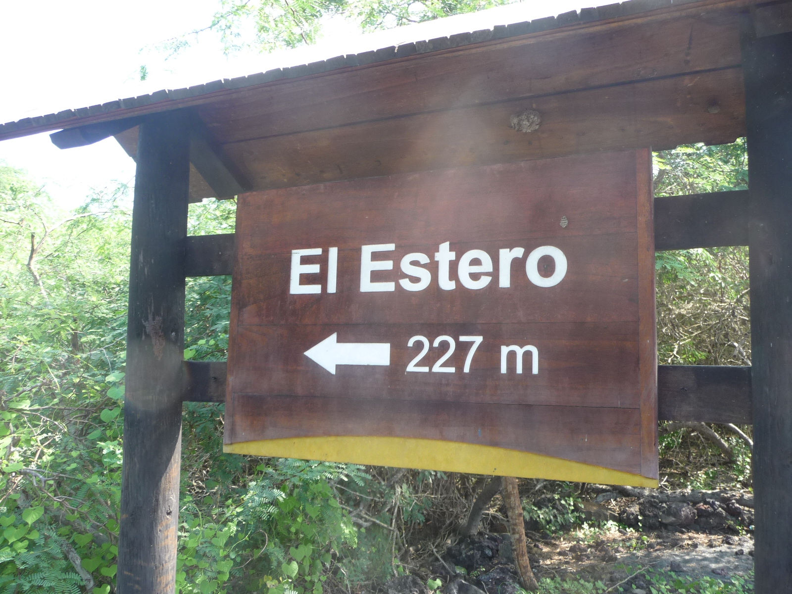
I followed this trail to “El Estero” … really enjoyed the walk, but never found the destination. The tide was flooding the trail and I didn’t want to get wet.
Parking my bicycle for this trail side-trip.
Part of the beautiful trail scenery.
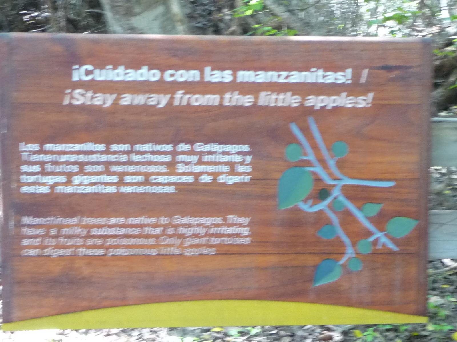
Another sign warning about the poison apples … it seems these apples are common in the Galapagos.
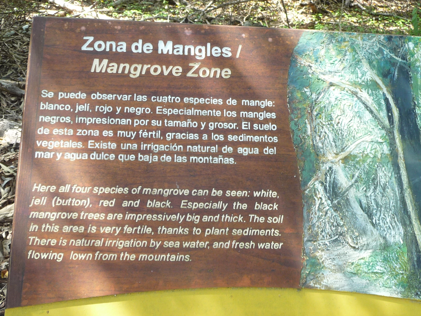
A sign talking about four different species of mangrove trees. Click to enlarge if you want to read it.
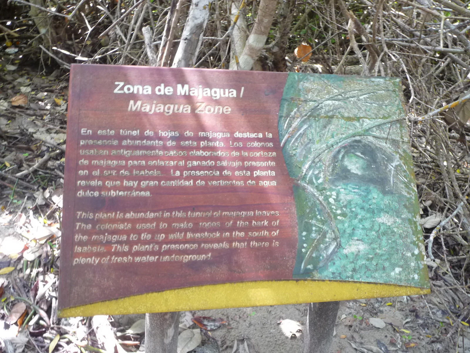
And a sign about the “Majagua Zone” ahead. I don’t pay much attention until I see what it is talking about.
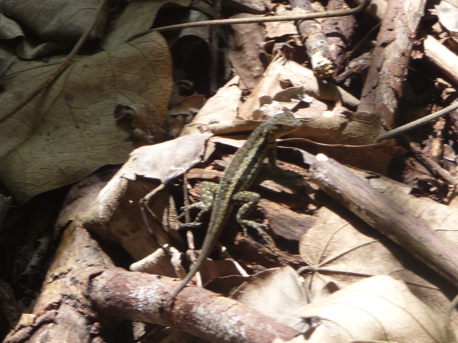
… but first, a lizard stopped to say hello to me.
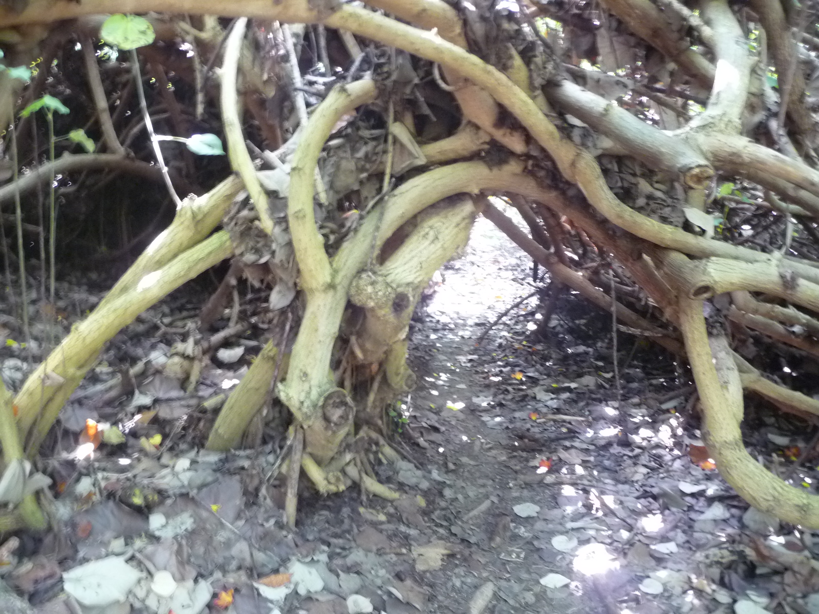
This is part of the Majagua – trees that grow to form tunnels like this one.
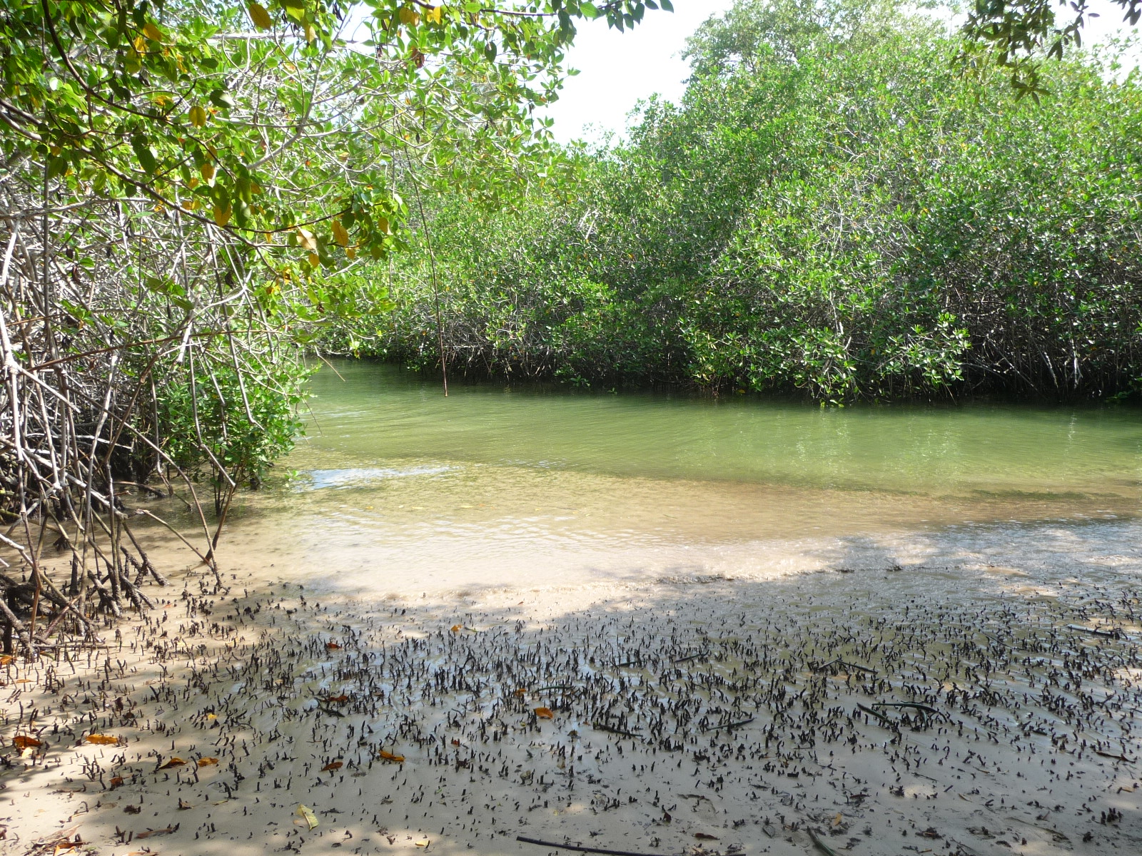
After going through the tunnel, I reached the ocean waters, enclosed by mangrove trees. I could go no further. I tried taking a different side trail that I had passed, but it too ended at high waters … I never did find out what the “Estero” is.
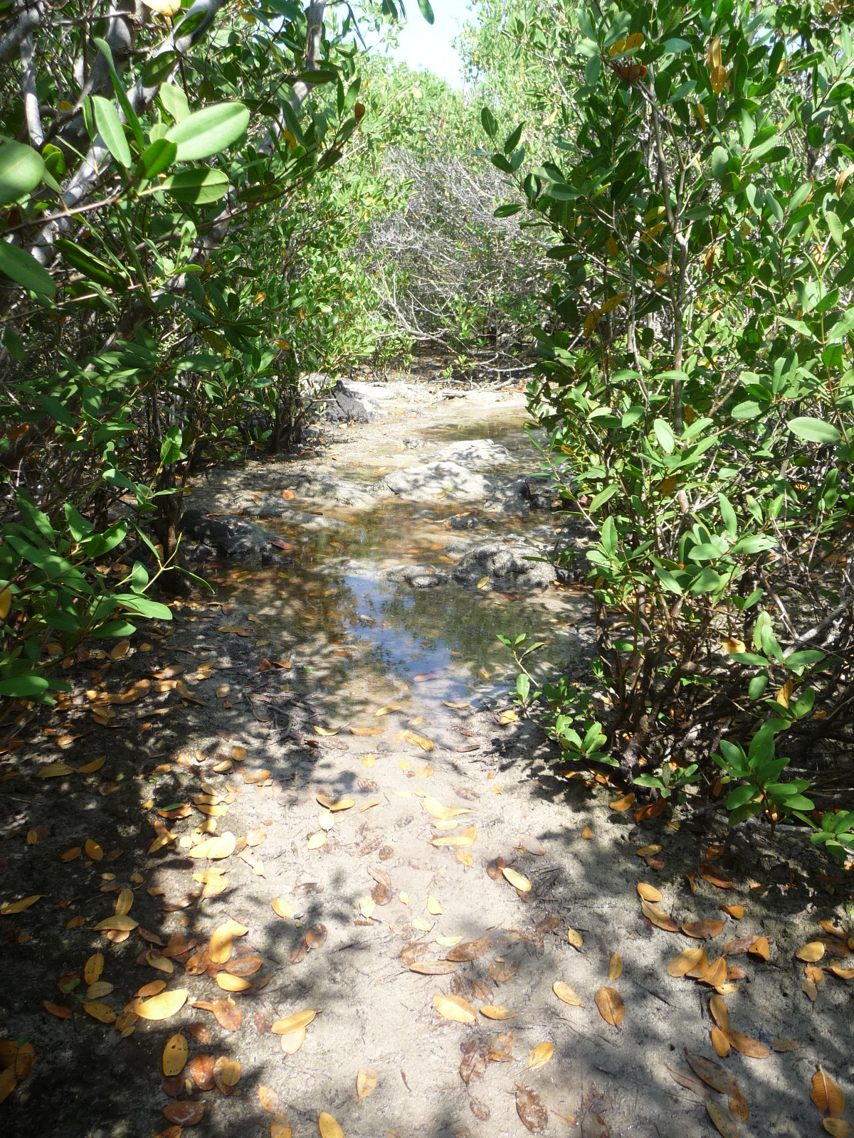
This is where the second trail began to get very wet from high tide waters.
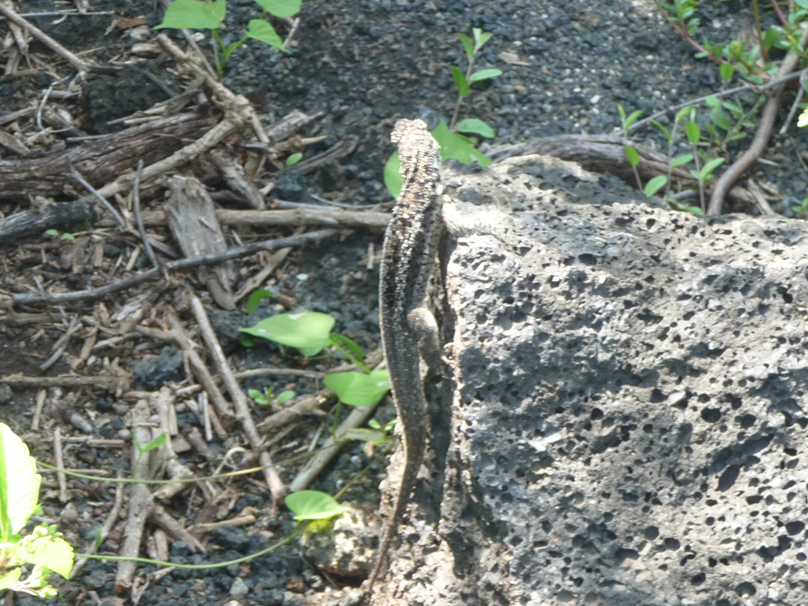
Another lizard climbed this tiny stump to point me in the right direction.
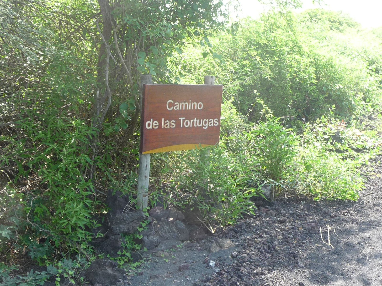
Back on the main road, I soon pass a sign that reads “Path of the Turtles”. I look and look, but never see any turtles along this road.
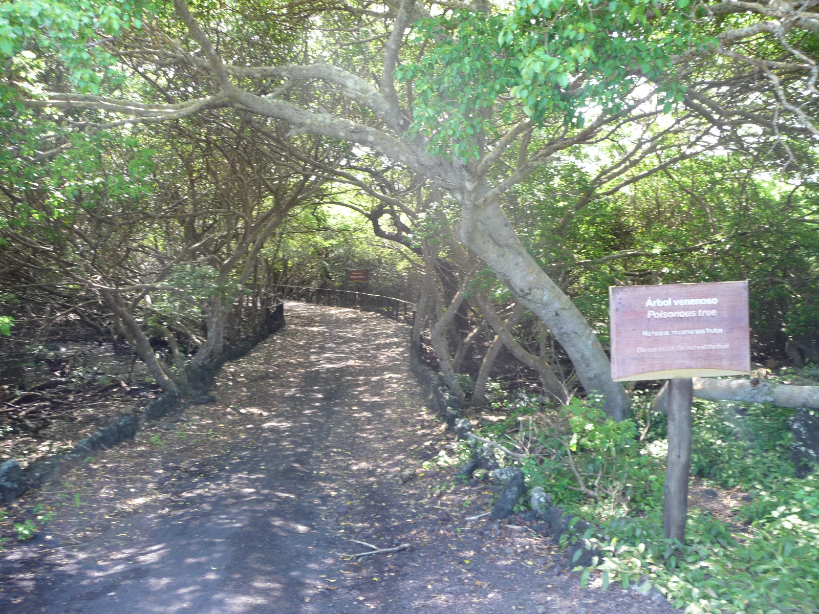
The bridge from a previous sign – (Merengue) … there is another sign about the poison apples. They are fallen on the ground all over this area.
I thought this sign was cute … I don’t think it needs an explanation.
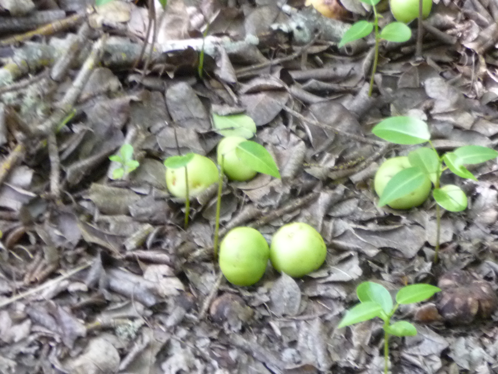
Some of those very poisonous apples.
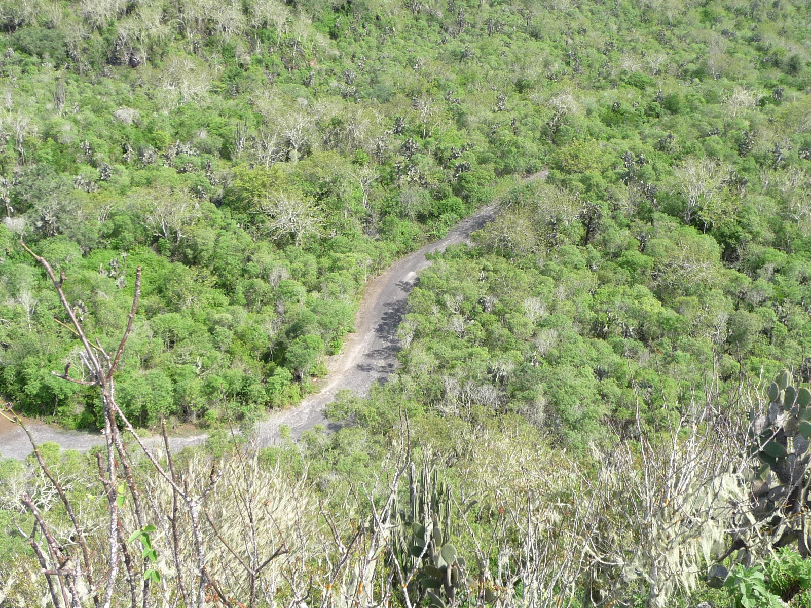
And finally, back on open road, continuing forward.
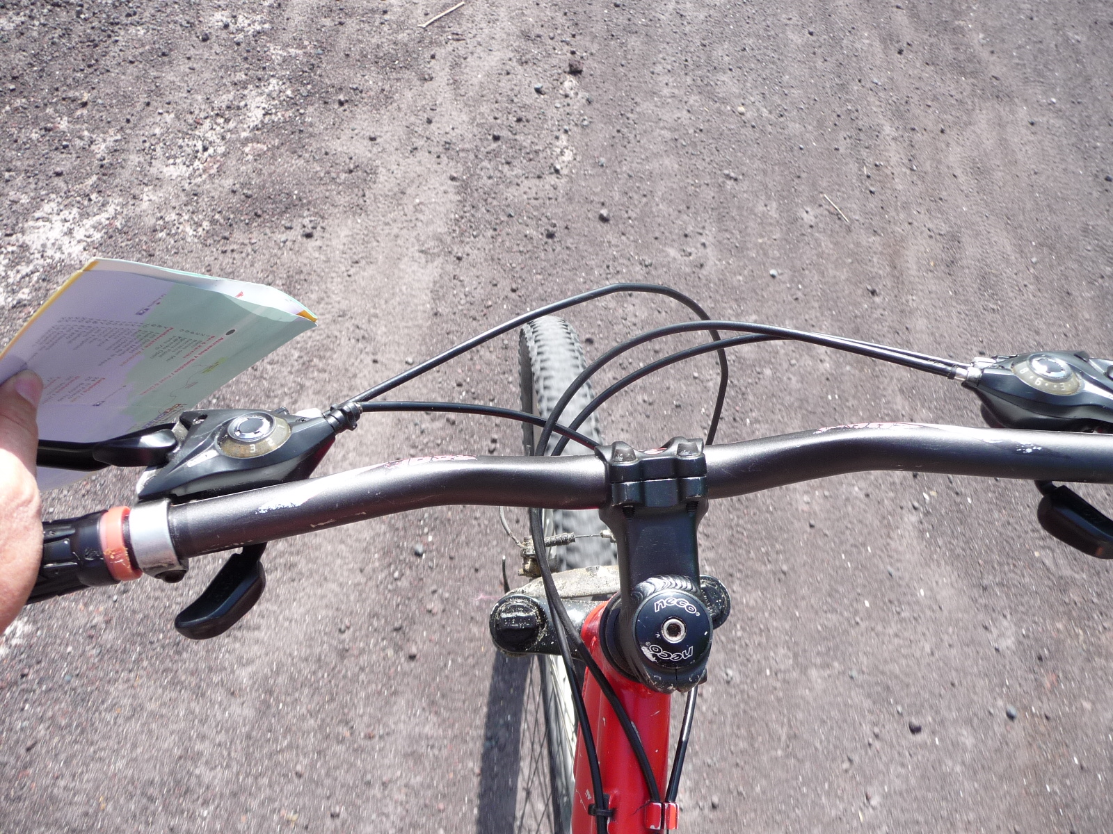
A moving shot while pedaling forward.
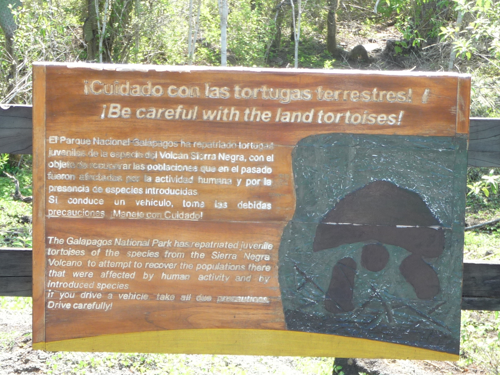
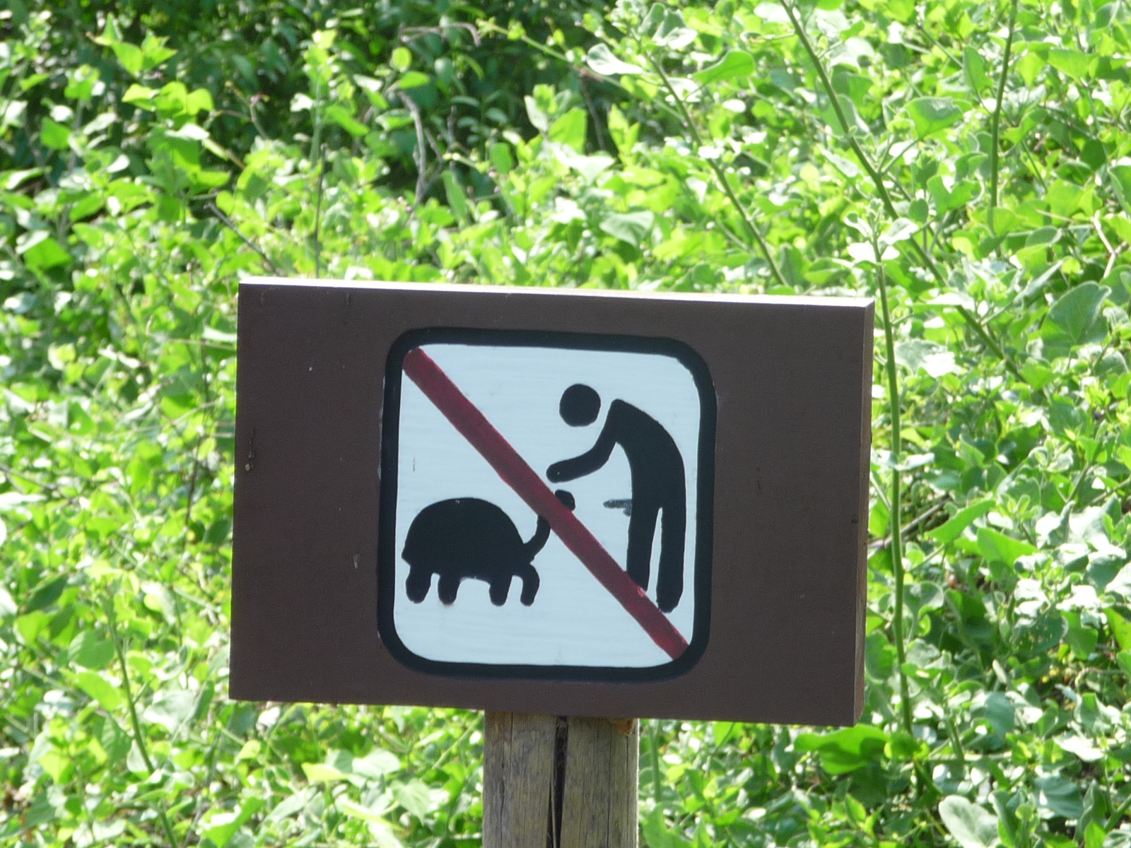
Another sign warning to please be careful around the land tortoises.
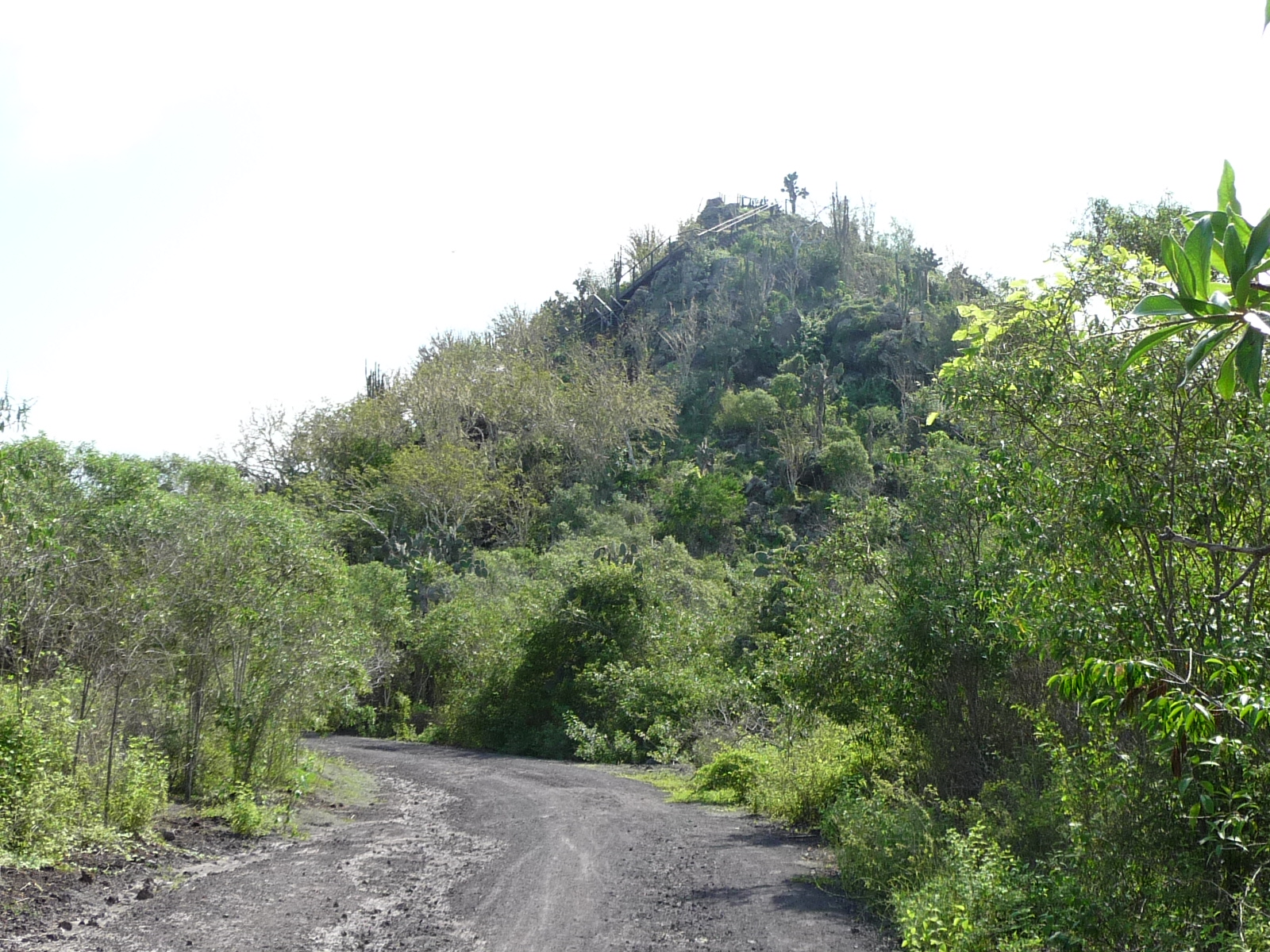
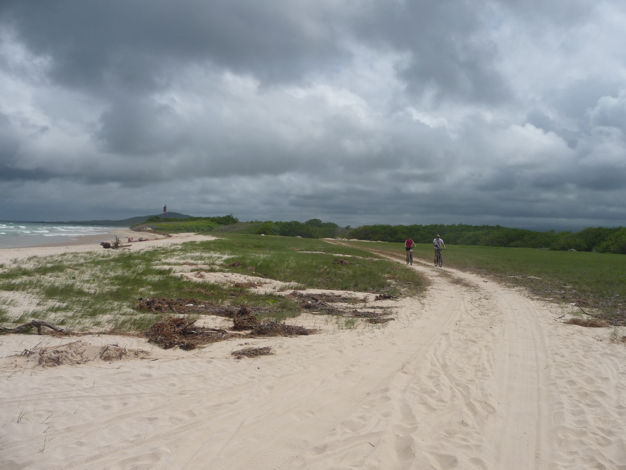
In this photo I can finally see a lookout tower on the top of this small hill ahead. I had to get off and walk my bicycle up most of the road leading to the base of the trail.
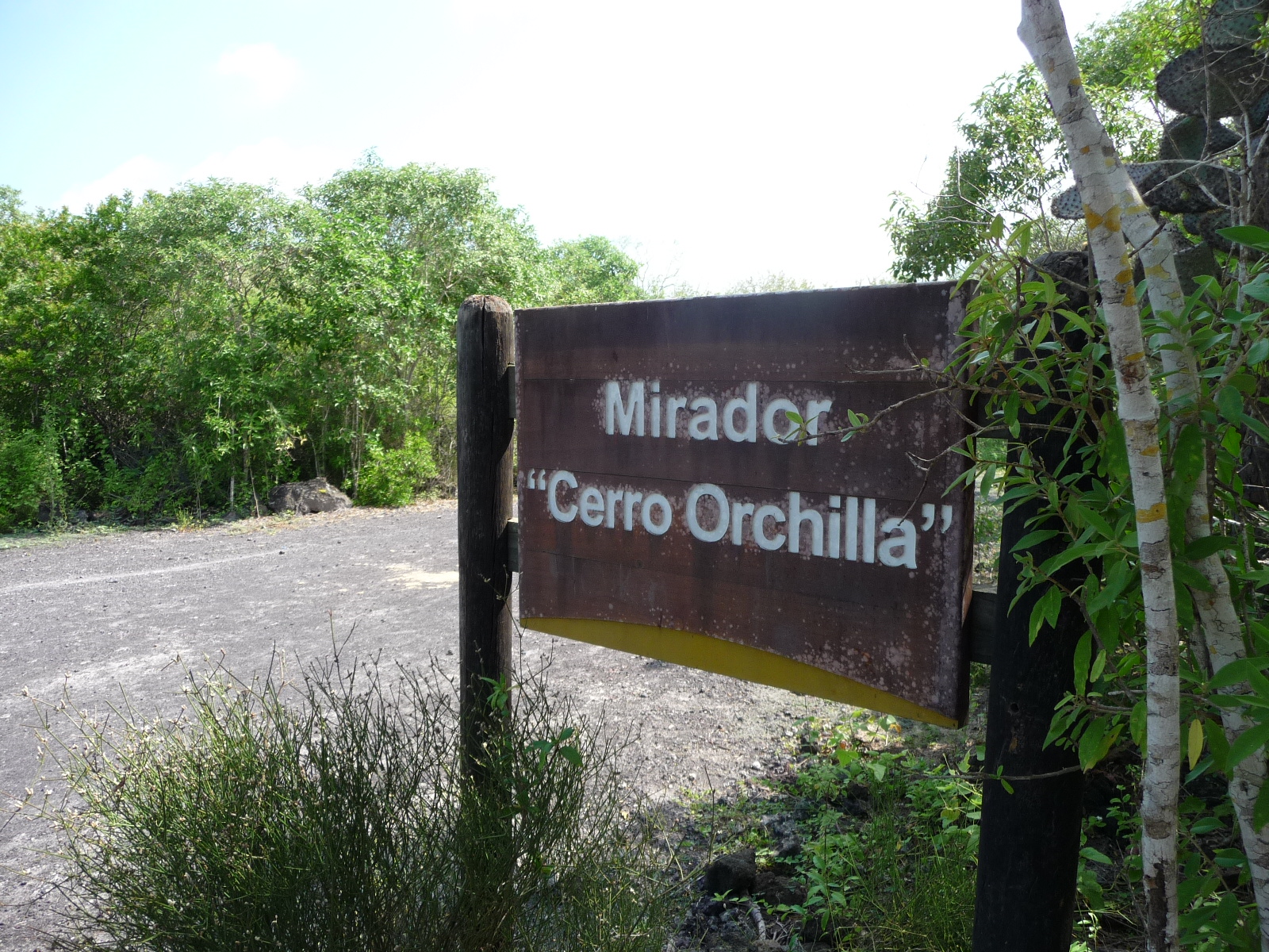
The sign says this is a “lookout tower” called “Orchilla Hill”.
Again, I had to leave my bicycle at the bottom of the hill … then climbing up steep trail to the top of the hill.
Part of the trail.
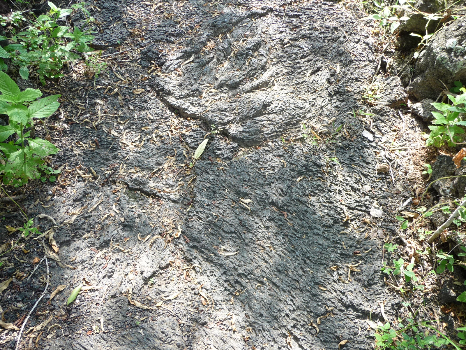
Some of the trail was on very rough lava rock.
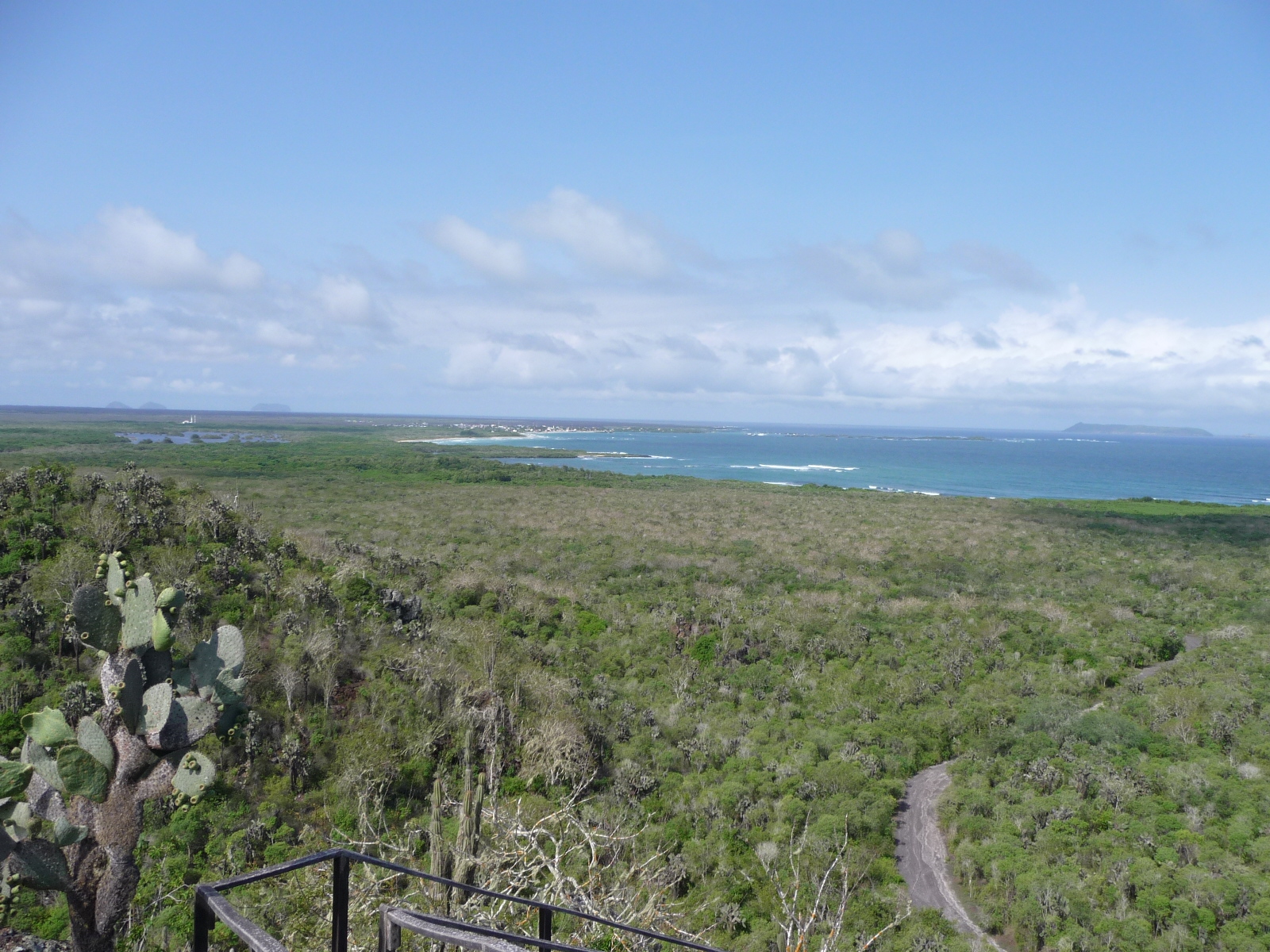
From the top of the tower, looking back toward the village where I began my bike ride. It is way out there on the horizon, left middle.
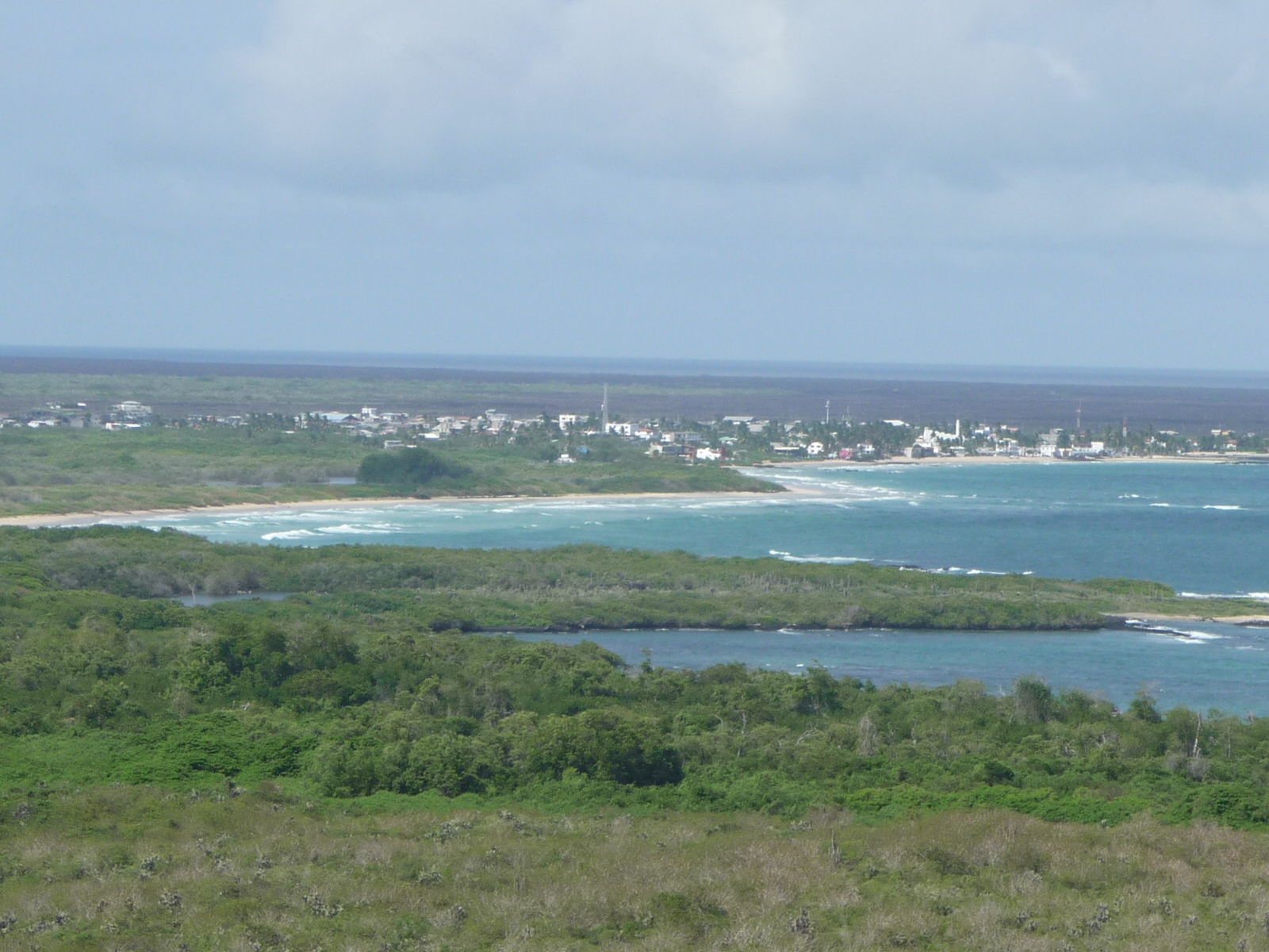
Same as the previous photo, only this one has full zoom. The town in the distance is called Puerto Villamil. That is where my hotel is located.
Looking off in the opposite direction. I love the view here.
Looking down at the road I just climbed.
And looking down in the other direction at the road I have yet to follow.
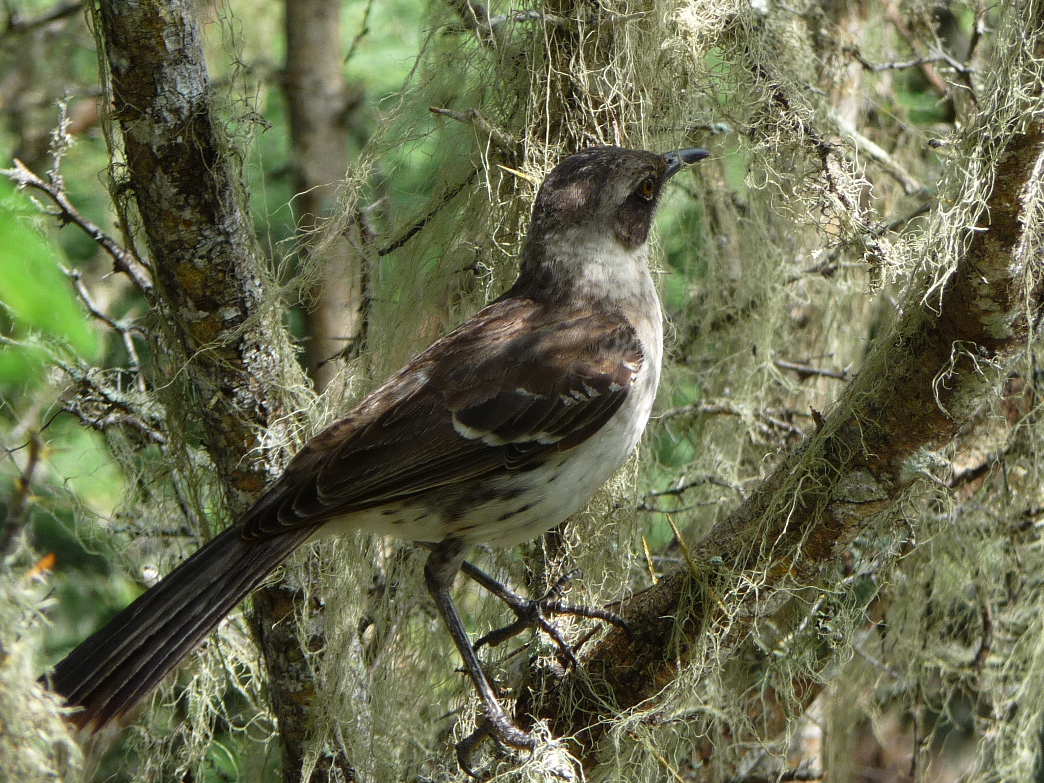
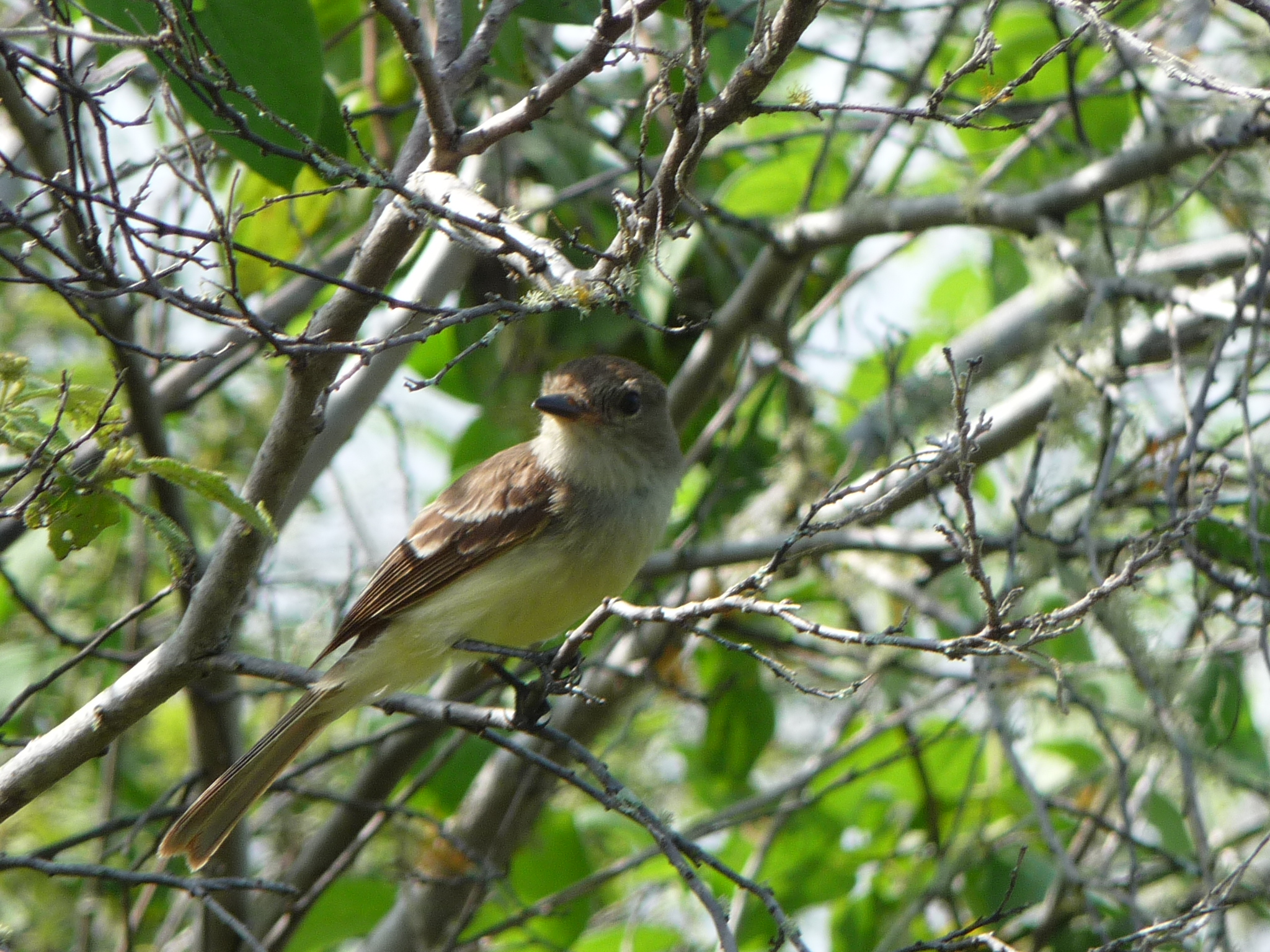
A delightful bird stopped to visit with me on the way back down the trail.
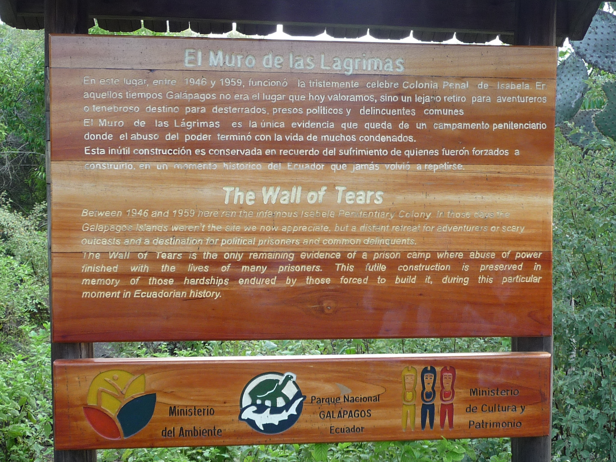
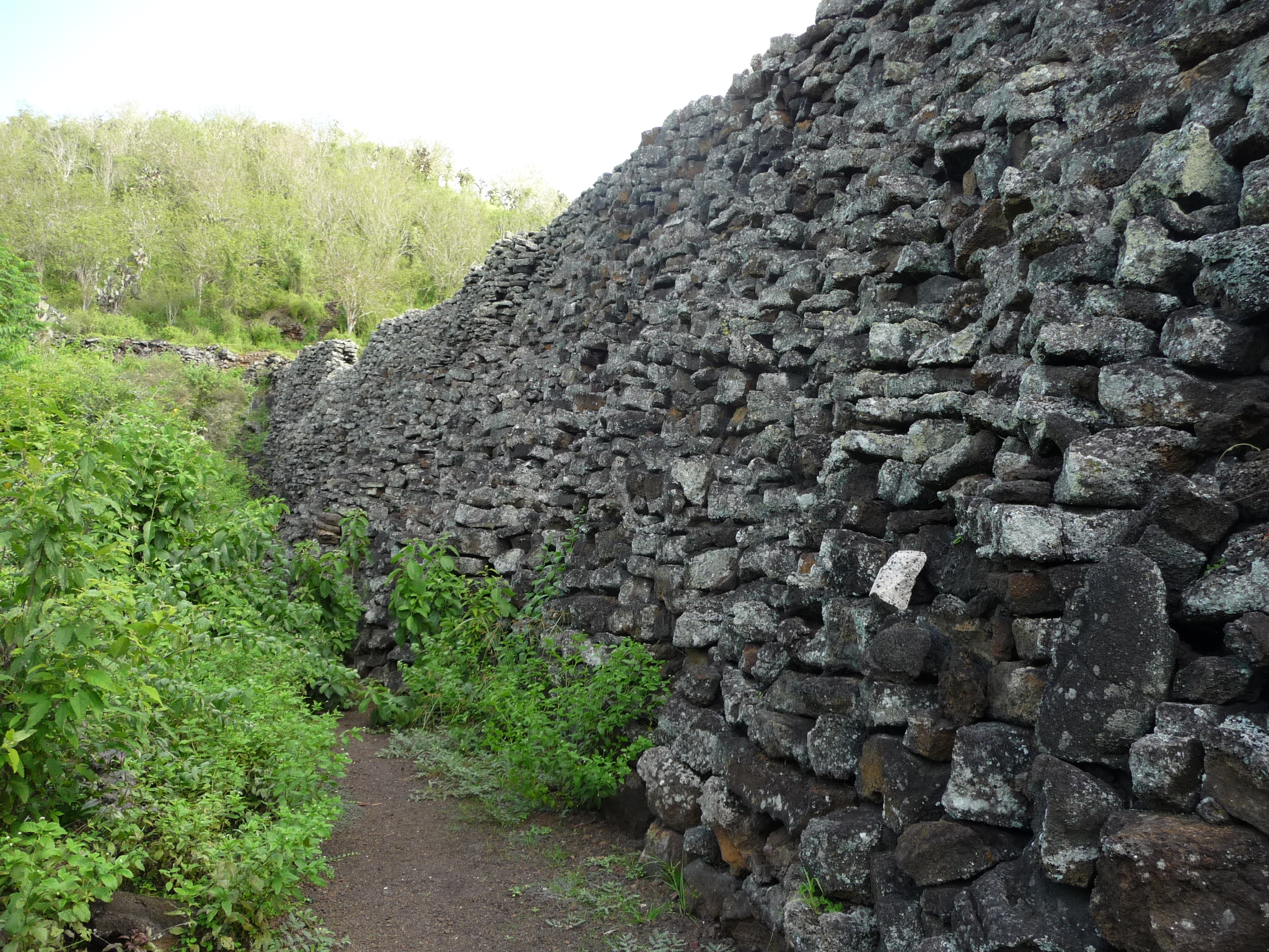
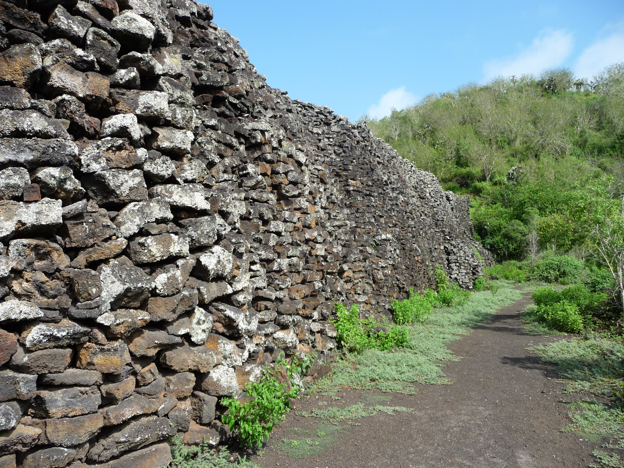
Finally I arrive at the “Wall of Tears” or “El Muro de las Lagrimas”.
You can read all of the details if you click to enlarge the photo. Essentially, there used to be a small prison colony here between 1946 and 1959. There is a wall of rocks left behind here, symbolizing one of the walls of the prison area.
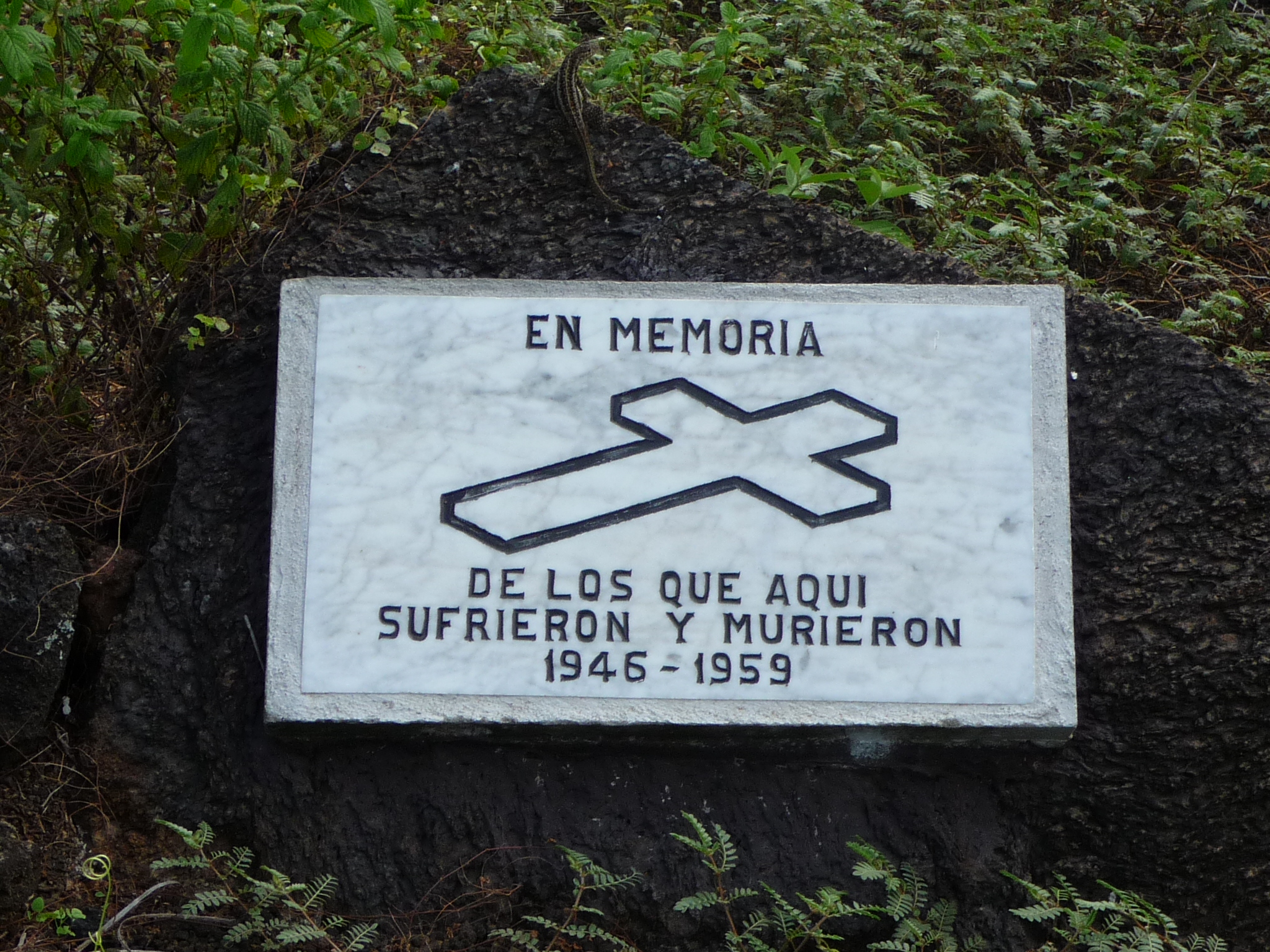
This reads “In memory of those that suffered and died here.”
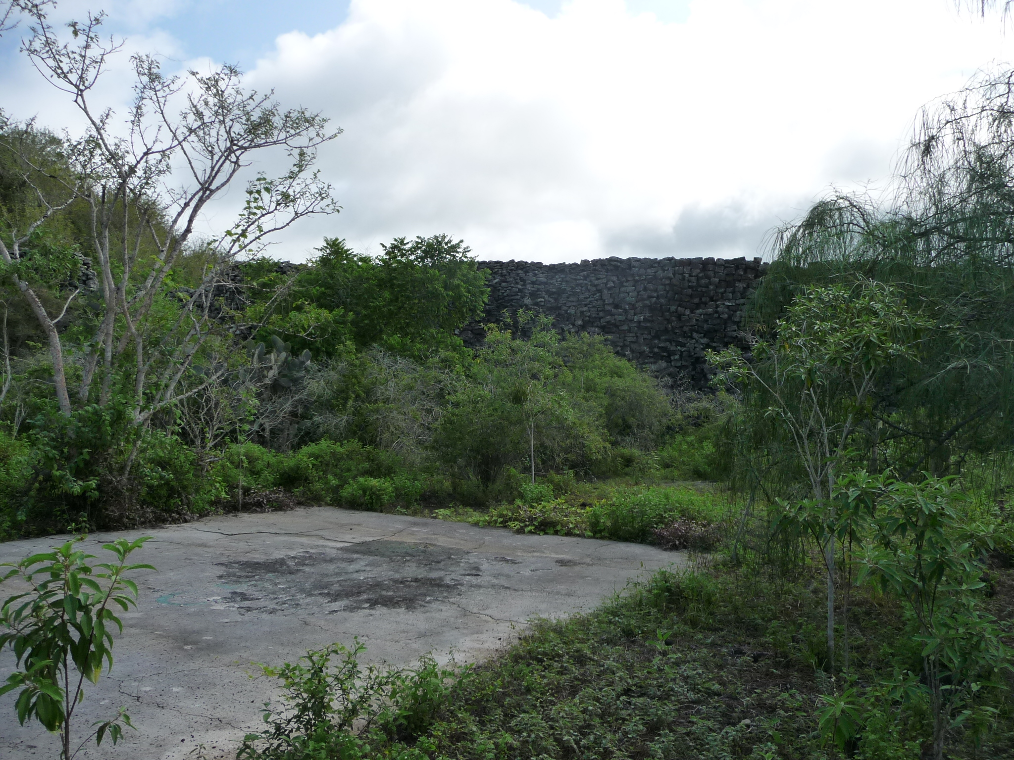
You can see the rock wall in the distance.
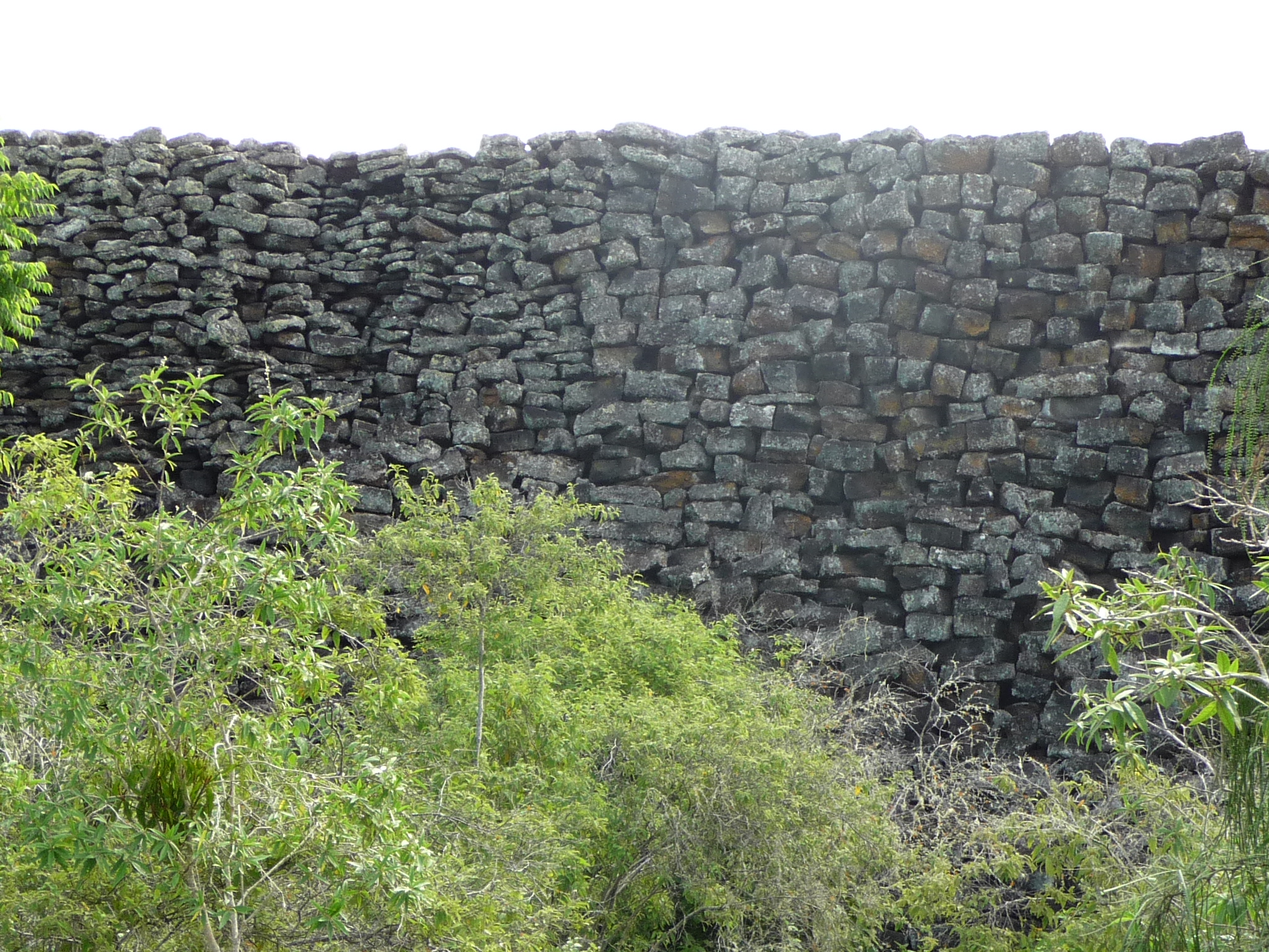
Getting closer to this tall wall – the wall of tears.
Another bird stops to greet me.
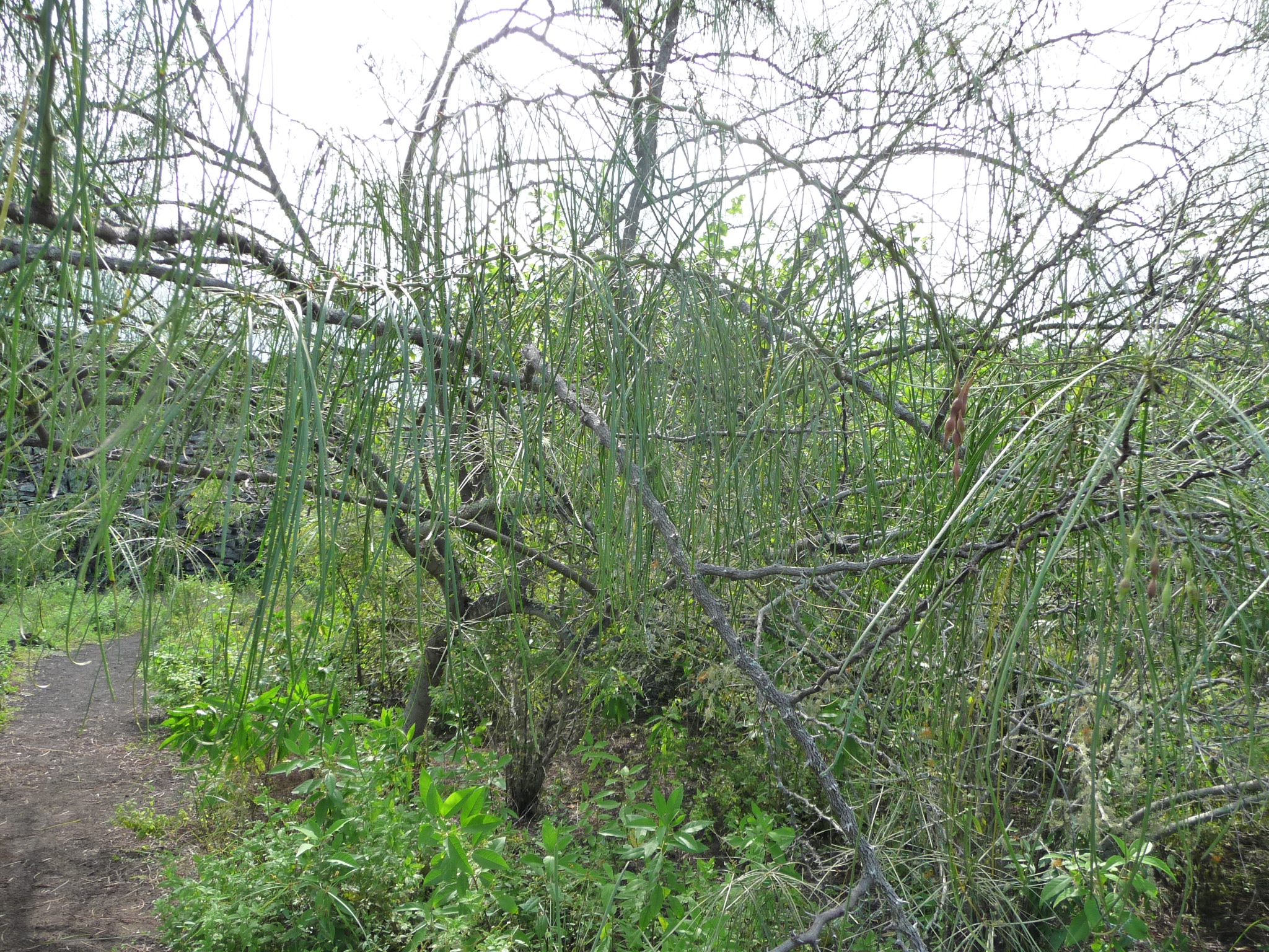
I love all of the unique vegetation that I pass.
Closeup, beside the base of the wall.
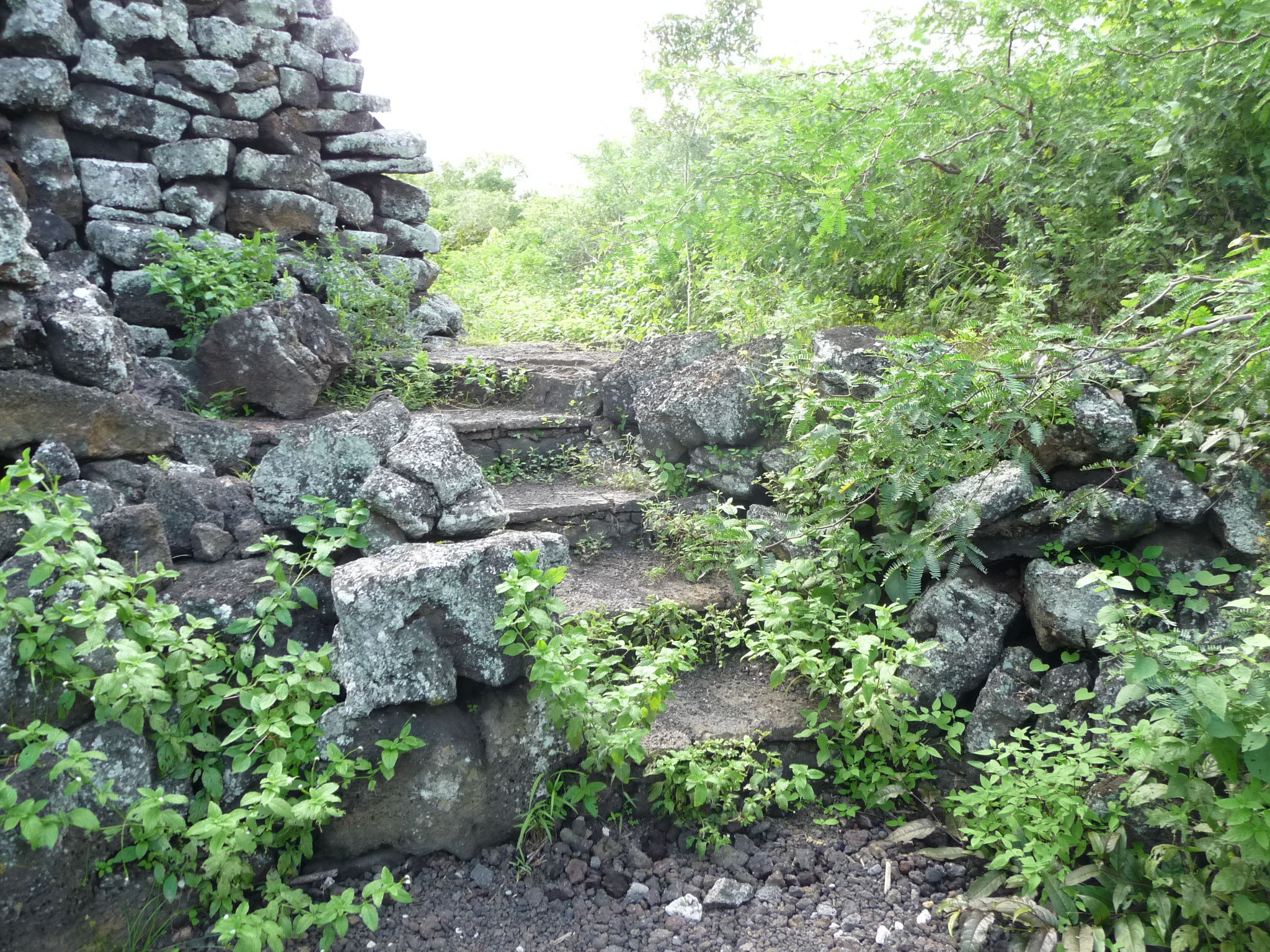
Steps leading around the wall to the back side. I follow them.
The other side (back side) of the same wall.
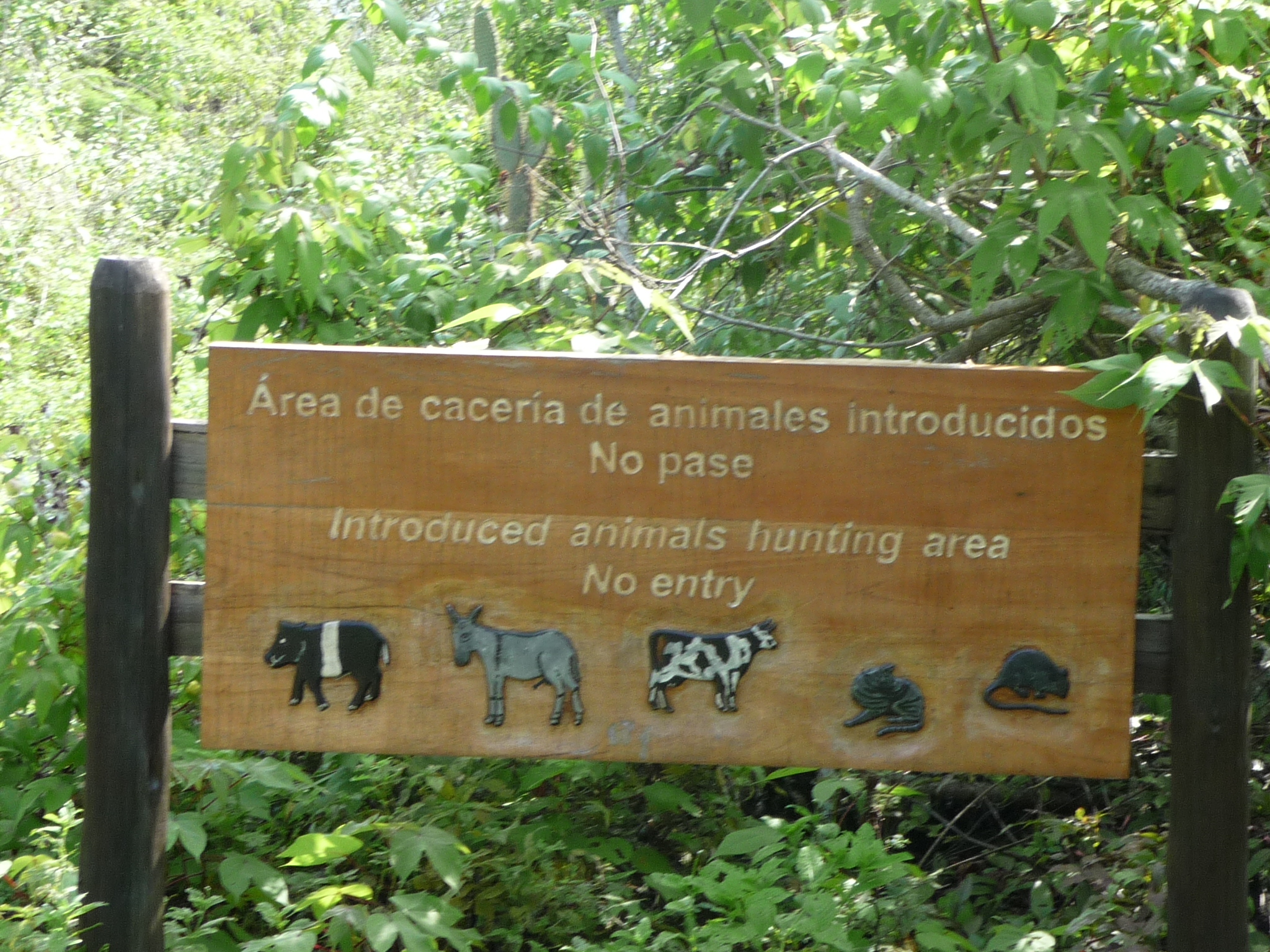
As I walk to the far end of the wall, I find this sign. In Spanish it reads “Area of imprisonment of animals that were introduced (non-endemic)” … but in English it reads “Introduced animals Hunting Area – no entry”.
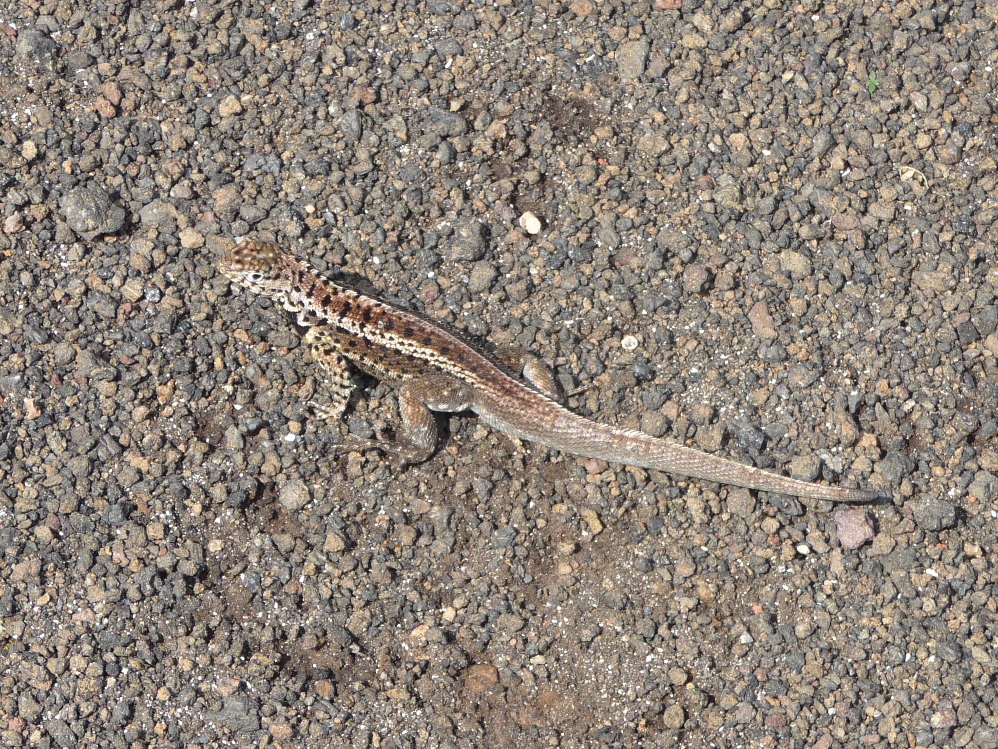
A lizard stops to connect with me.
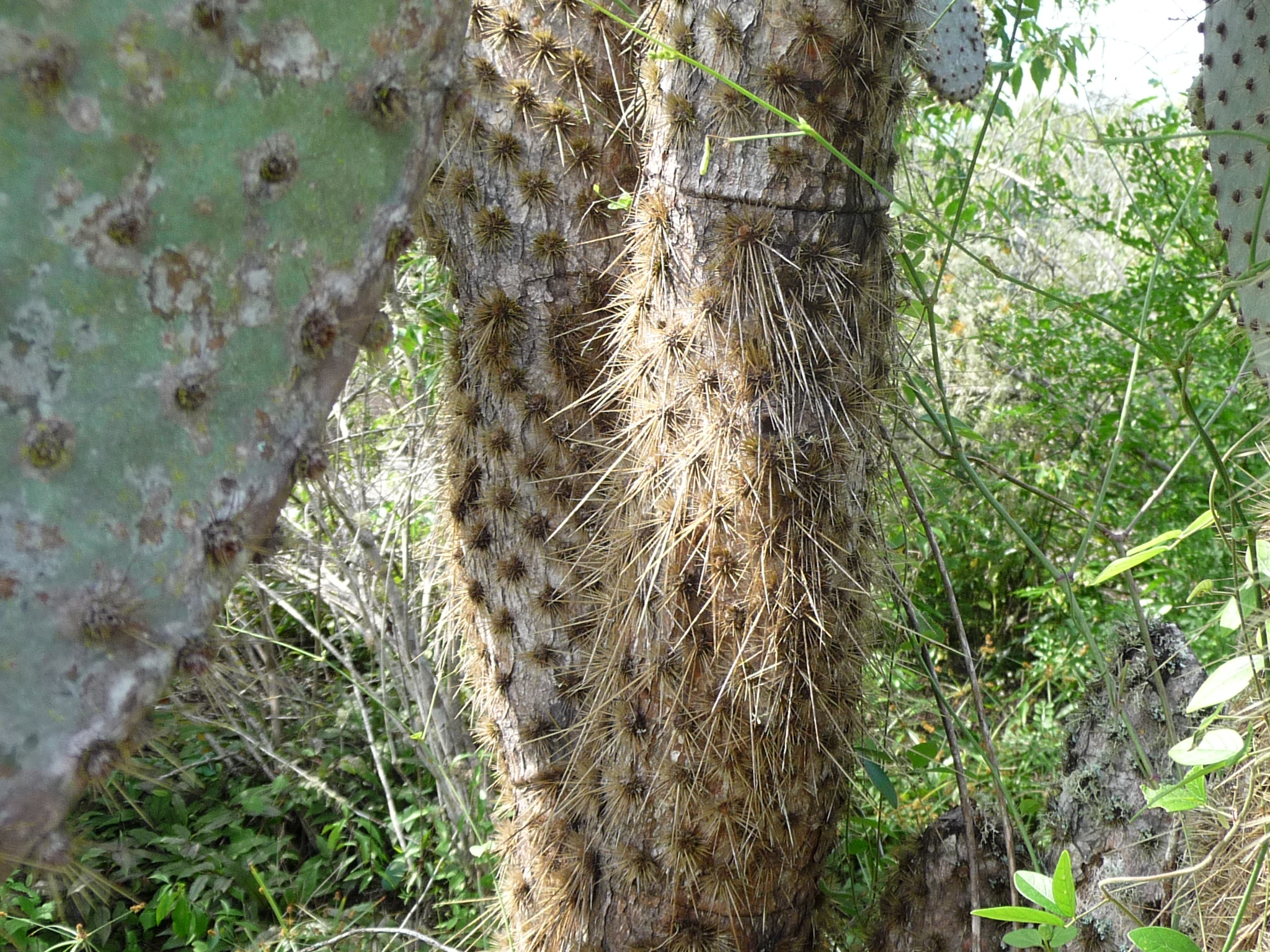
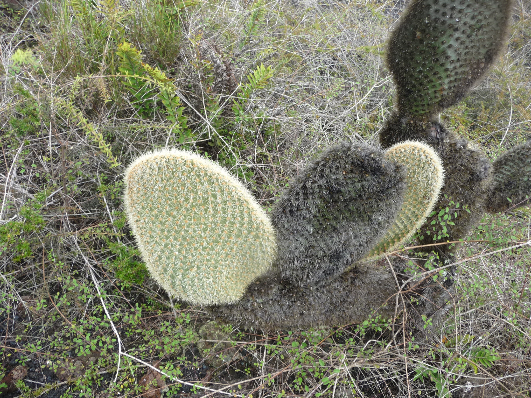
A closeup of a nearby cactus.
Rather than walking back the way I came, I follow a different path. At the parking area, I had noticed a different trail, and the one I am on looks as if it will meet up with that one if I continue. It turns out that I am right.
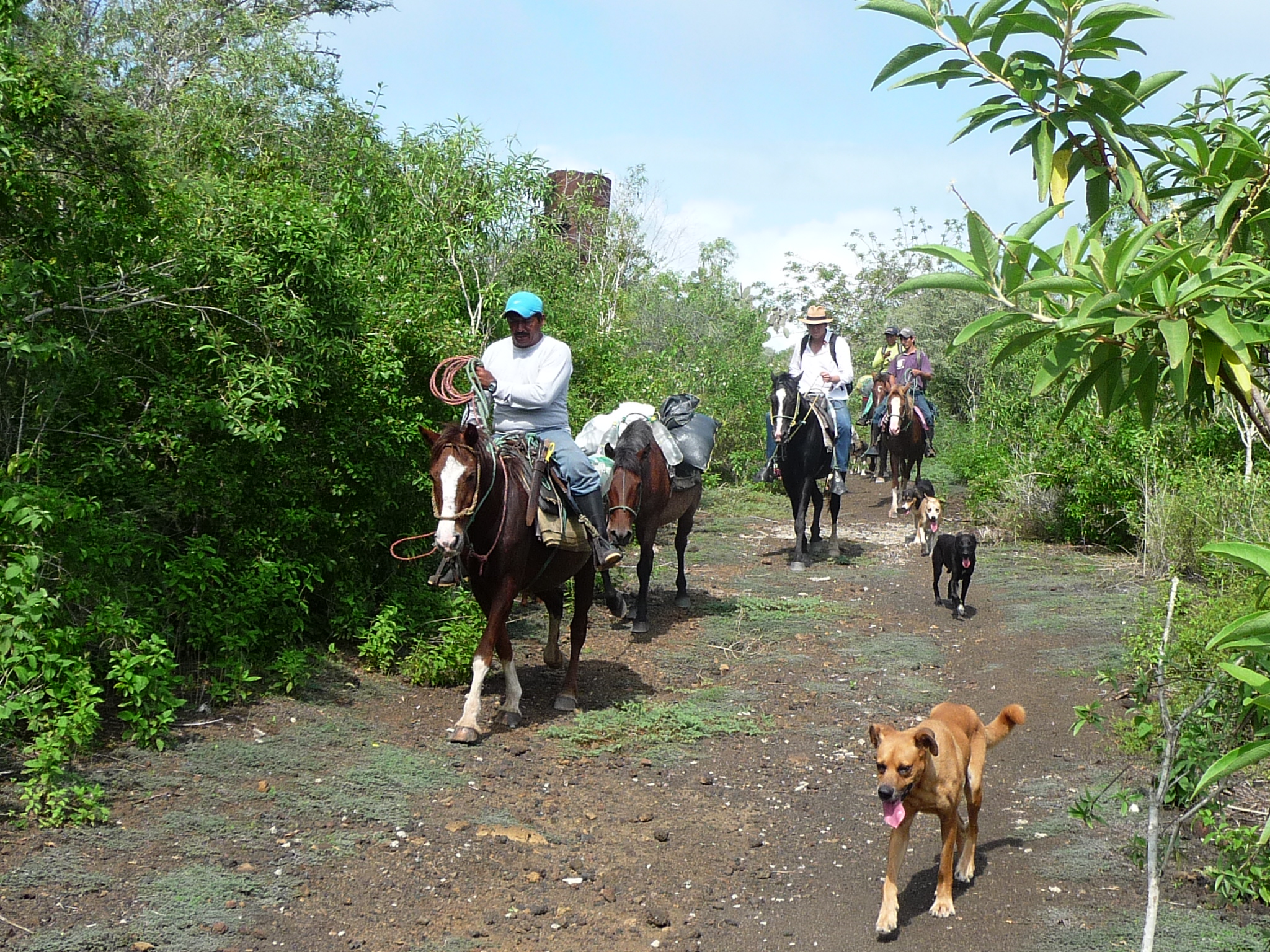
As I walk back to the area where my bicycle is parked, this group of local people ride by on their horses.
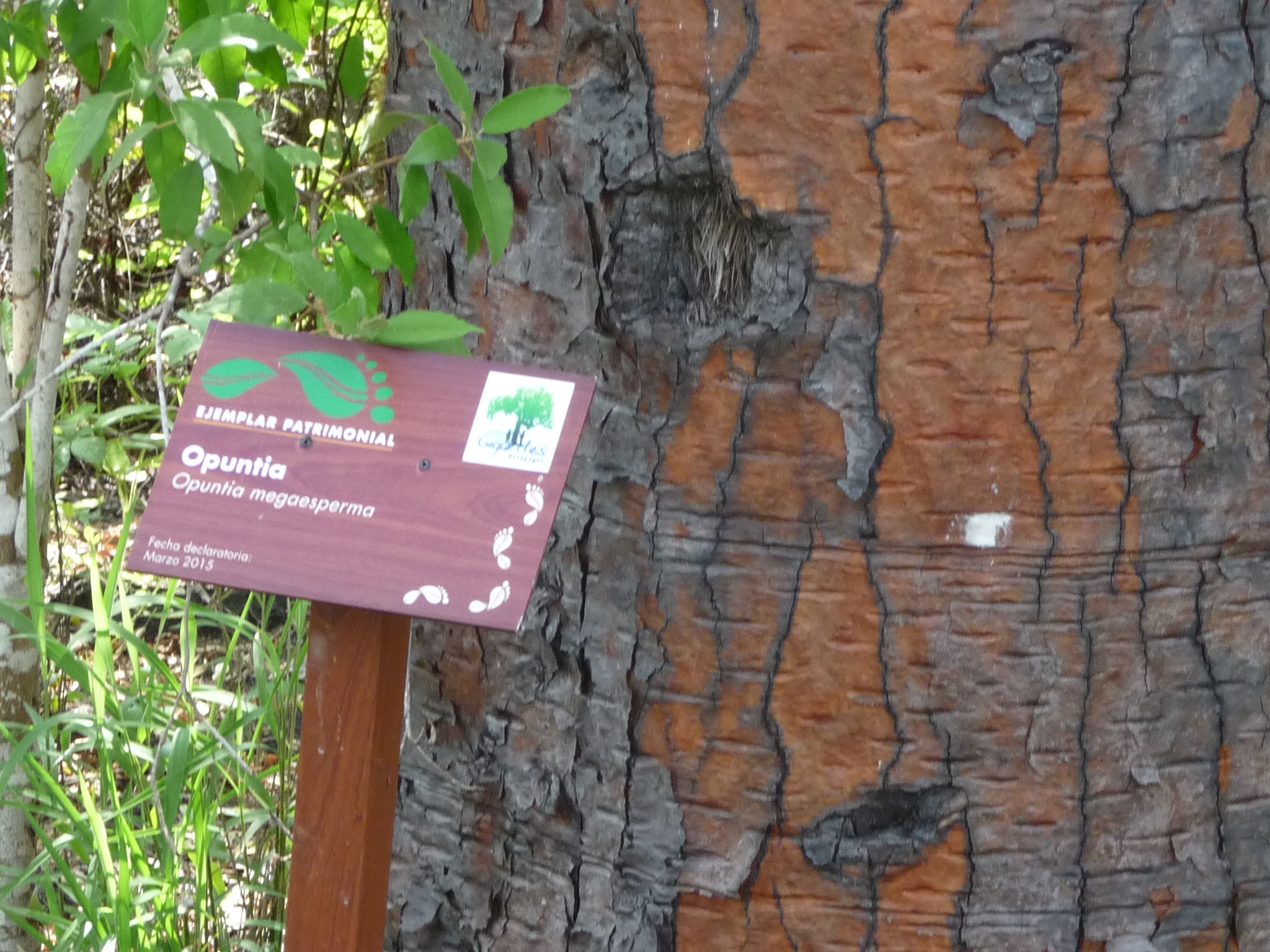
On the way back To Puerto Villamil, I stop at this “Opuntia” tree sign, because I really want to remember what they are called. These are gorgeous trees with a pine-tree-like trunk, but with leaves like prickly-pear cactus.
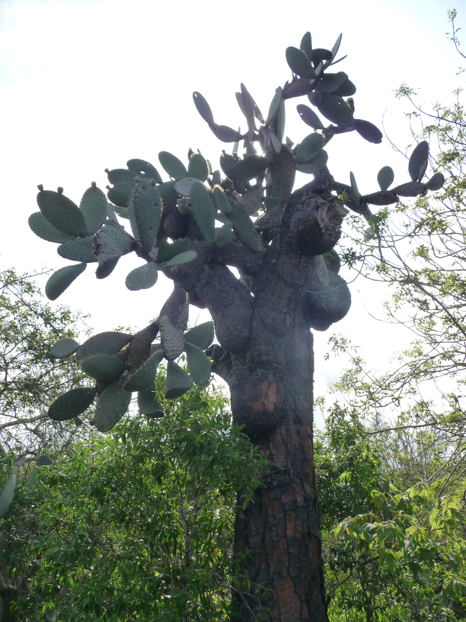
A photo of this tree.
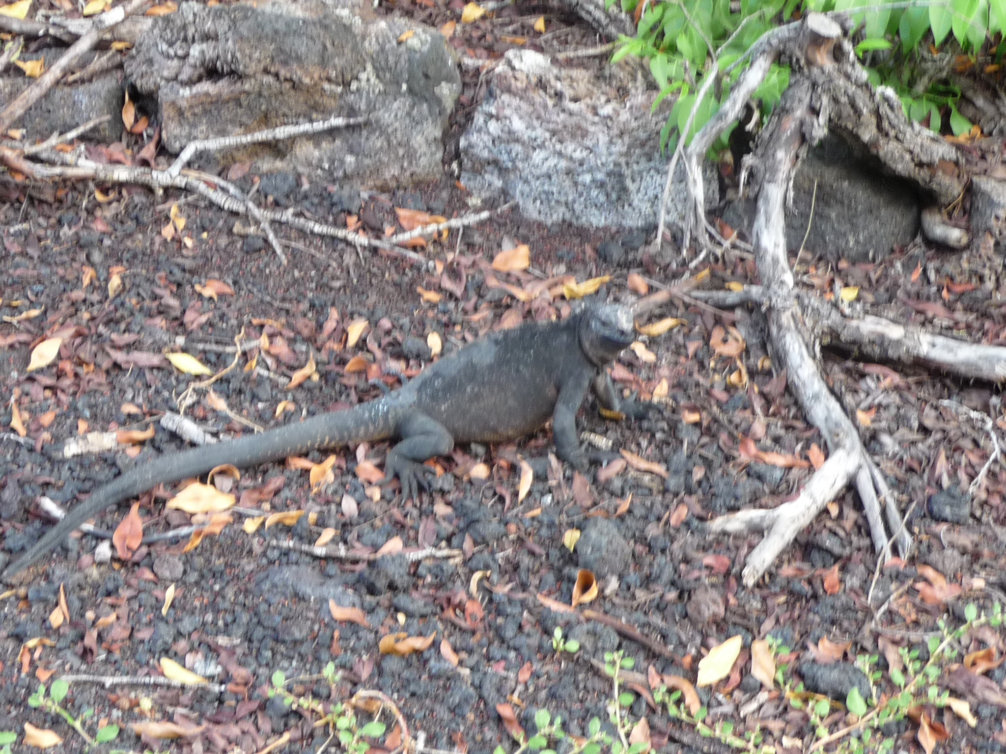
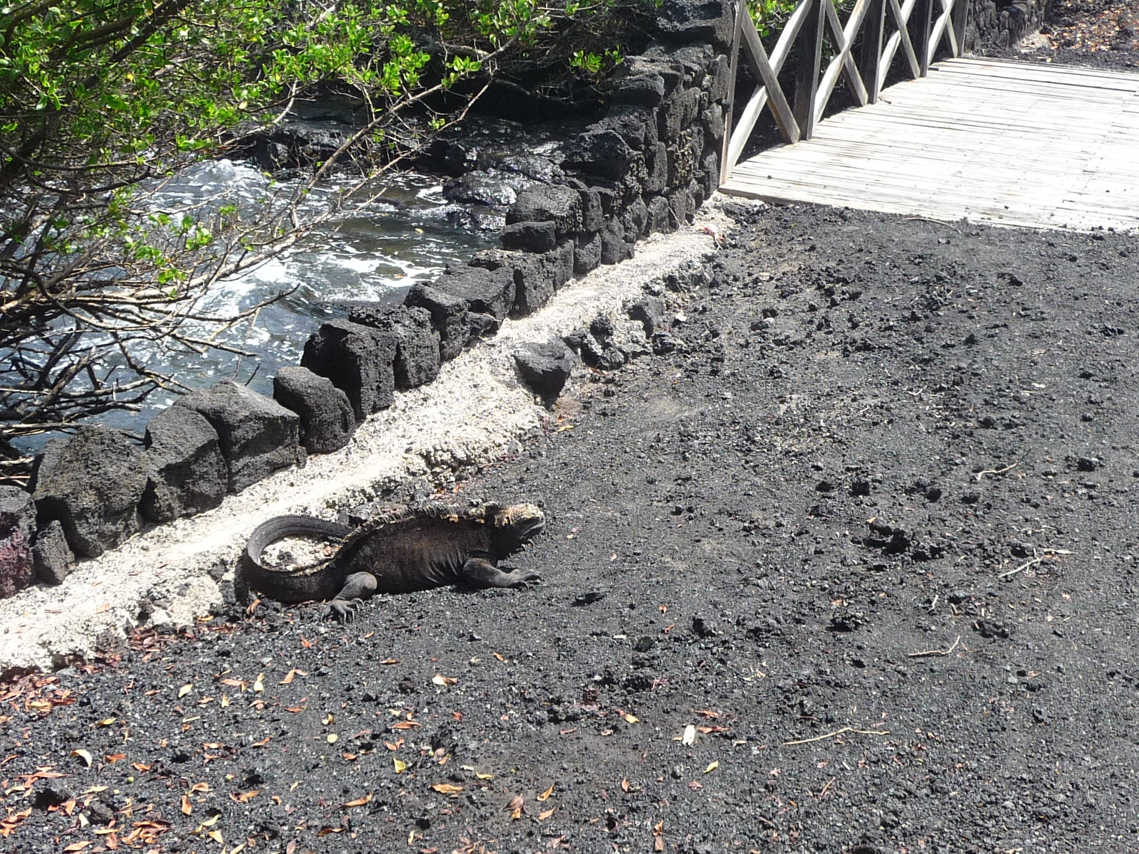
An iguana pauses to stare at me … I think he likes me.
After seeing the iguana, I ride my bicycle back to town. It is only on the way back that I realize I was climbing most of the way and that now I get to coast most of the way back. It was a lot faster, especially without stopping at every little side trail.
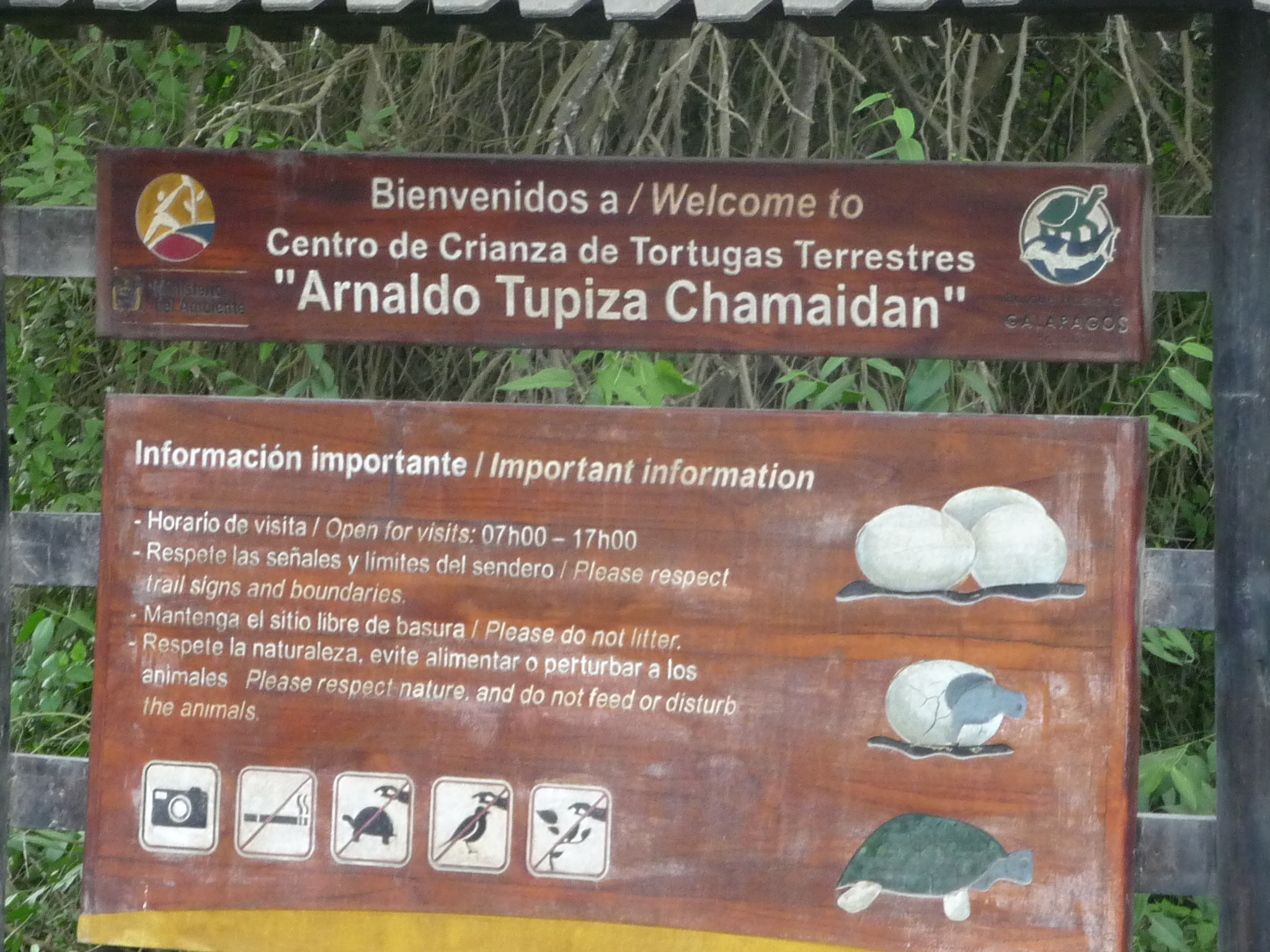
Once back in town, I decide to follow a different road … one that leads to the “Centro de Crianca de Tortugas Terrestres” (Center of raising of Land Tortoises”
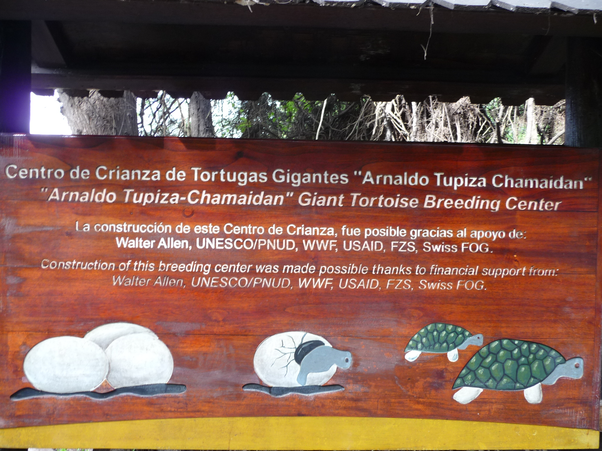
A cute sign, honoring the people who funded the building of the center.
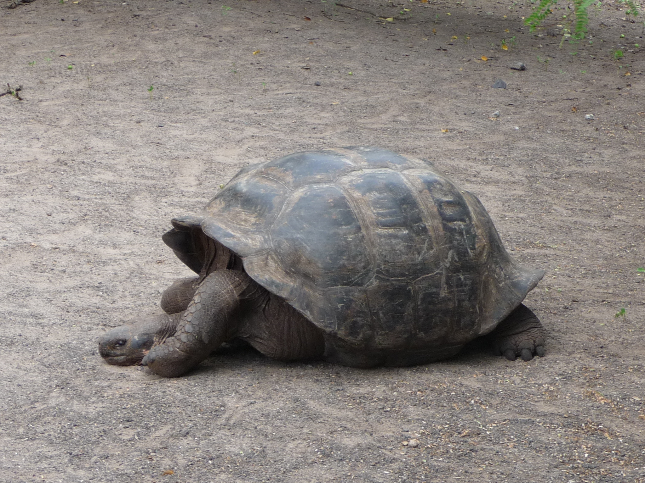
A large turtle near the entrance.
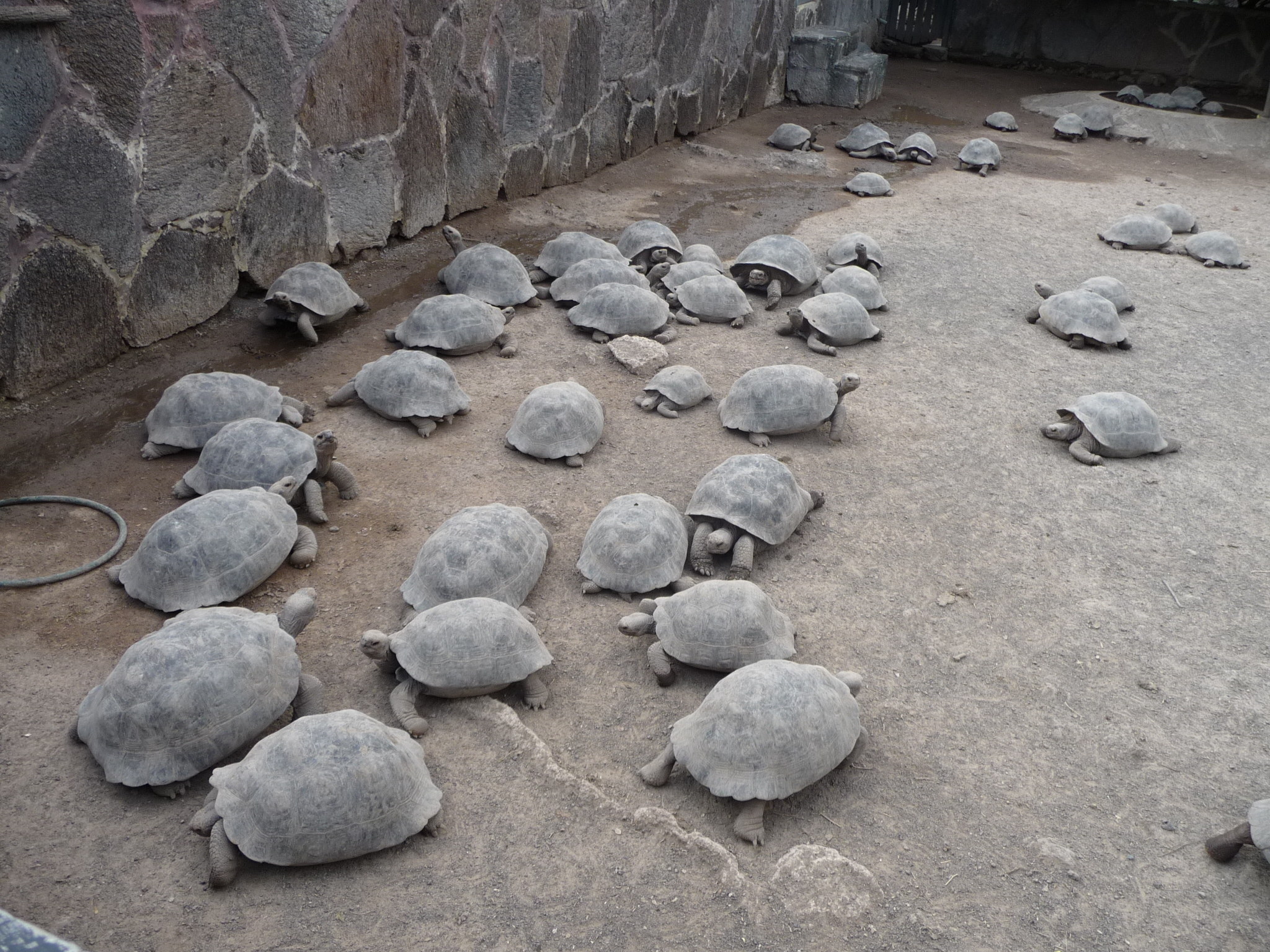
As I walk through the grounds, I learn that this is a center that is attempting to repopulate the turtles that are indigenous to Isabela Island – they have some older breeding turtles here, and when the turtles lay eggs, the people here protect and care for all of them, raising them from infancy until they are four or five years old – old enough to survive in the wild on their own.
Apparently, many non-indigenous species of animals (such as rats) create a danger to the young turtles. The rats actually chew on the baby turtles while they are alive, killing them.
A bunch of smaller turtles. I think these are a year or two old.
As far as I remember, the turtle population on Isabela Island was very small and declining. Now, there are hundreds of these indigenous turtles (unique to Isabela) being raised here in preparation to be released back into their natural habitat.
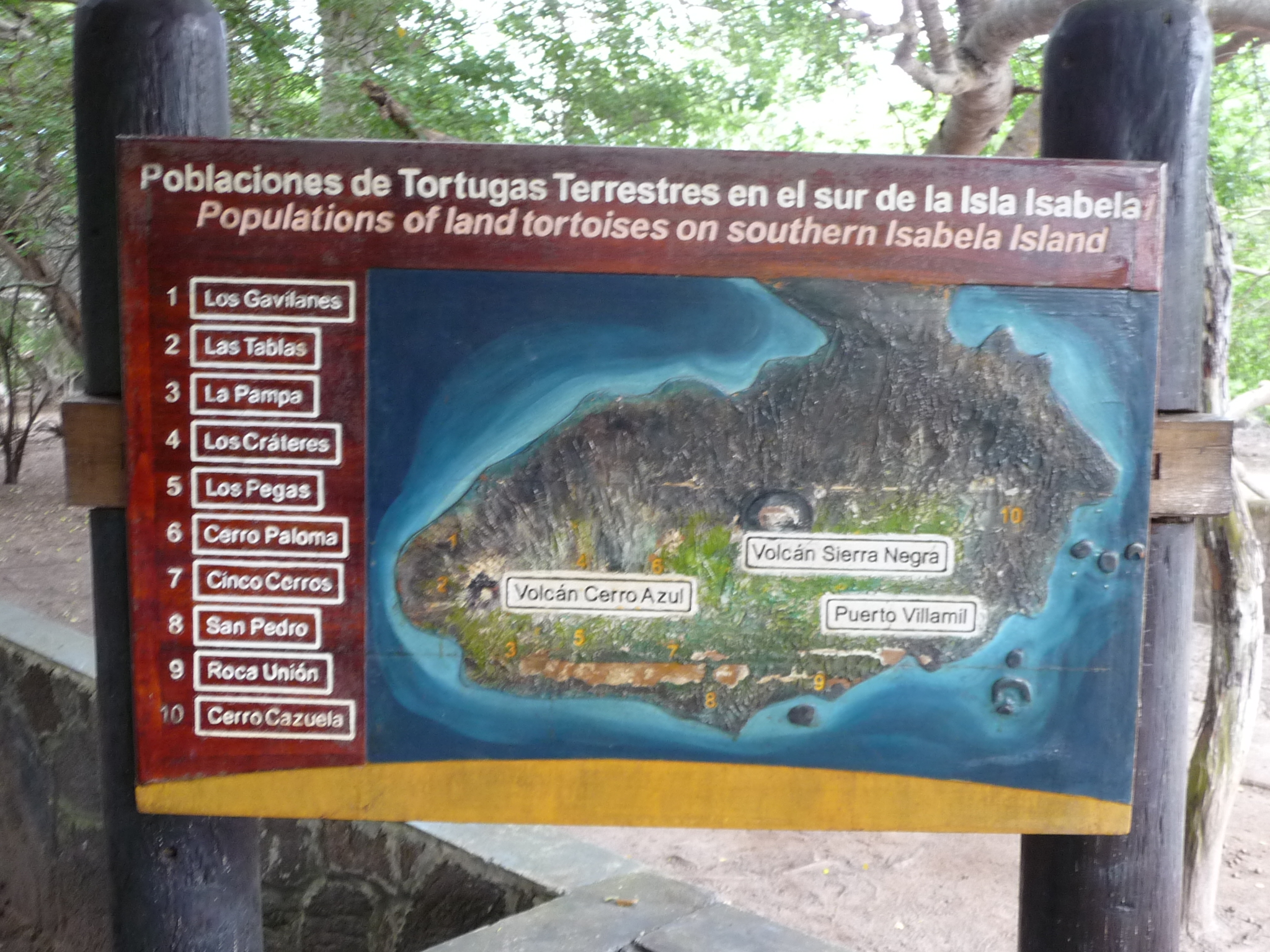
A map of the lower part of Isabela Island, showing the various areas that are natural habitats for these turtles. Even when clicking to enlarge this photo, it is difficult to read the details. There are yellow areas marked on the map that show the specific locations.
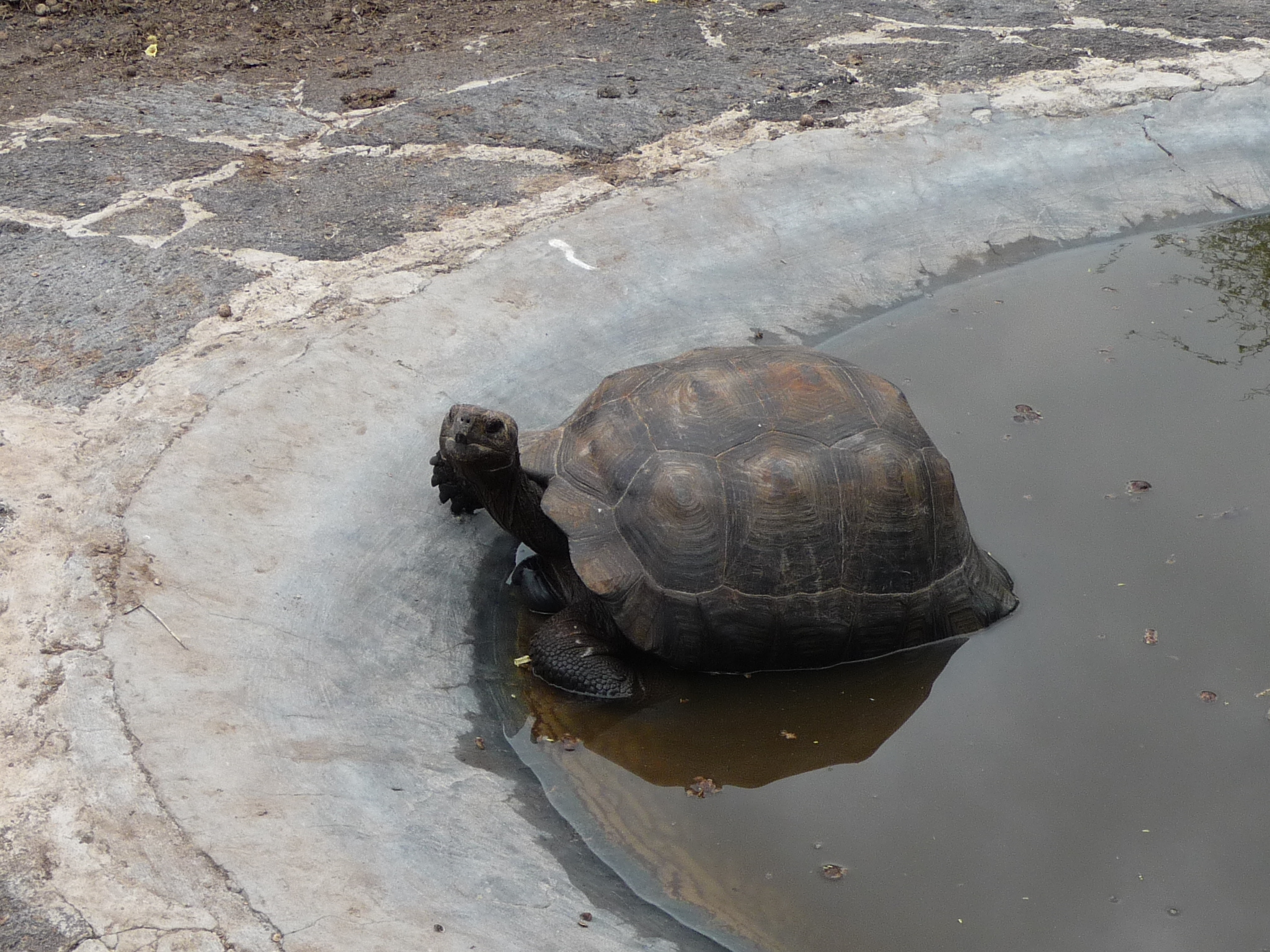
Another turtle, a little older, enjoying a pool.
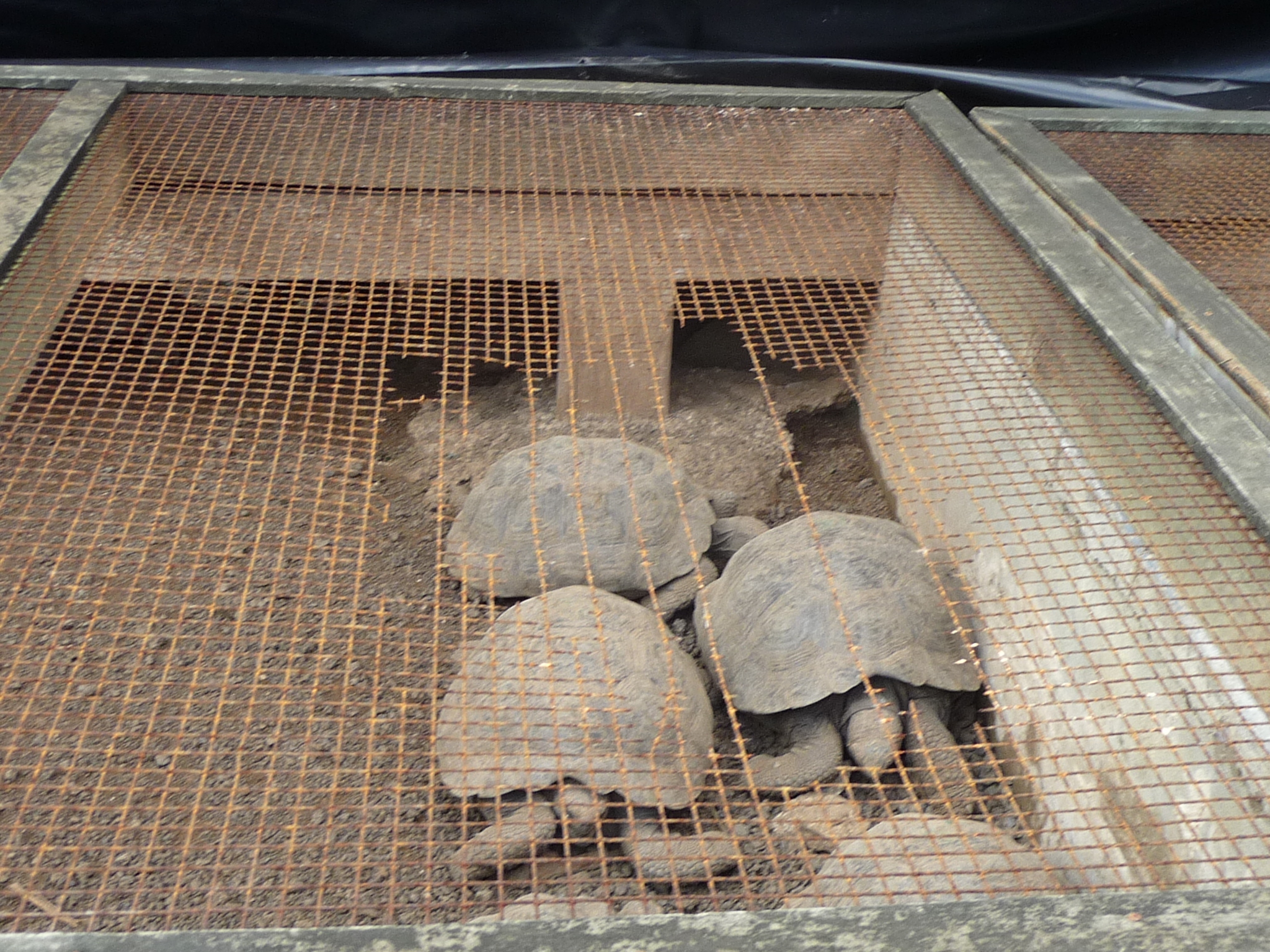
The youngest of the turtles are kept in cages to protect them from rats etc…
These are about six inches in diameter – probably less than a year old.
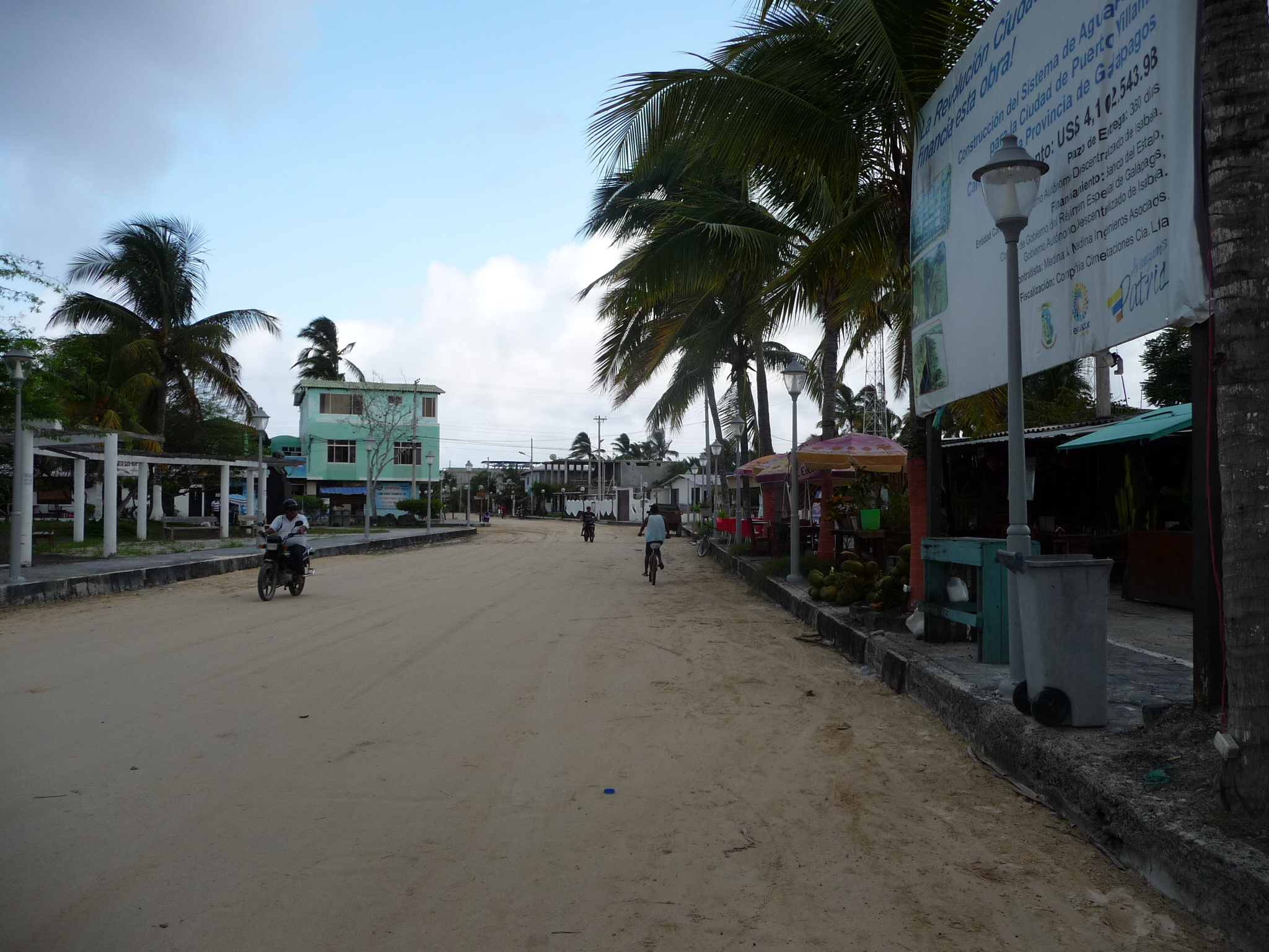
Back in Puerto Villamil, near the small town plaza. According to Wikipedia, about 2,200 people live in this small port town (the only population center on the island).
The streets are all covered in packed sand … and most people walk or ride bicycles.
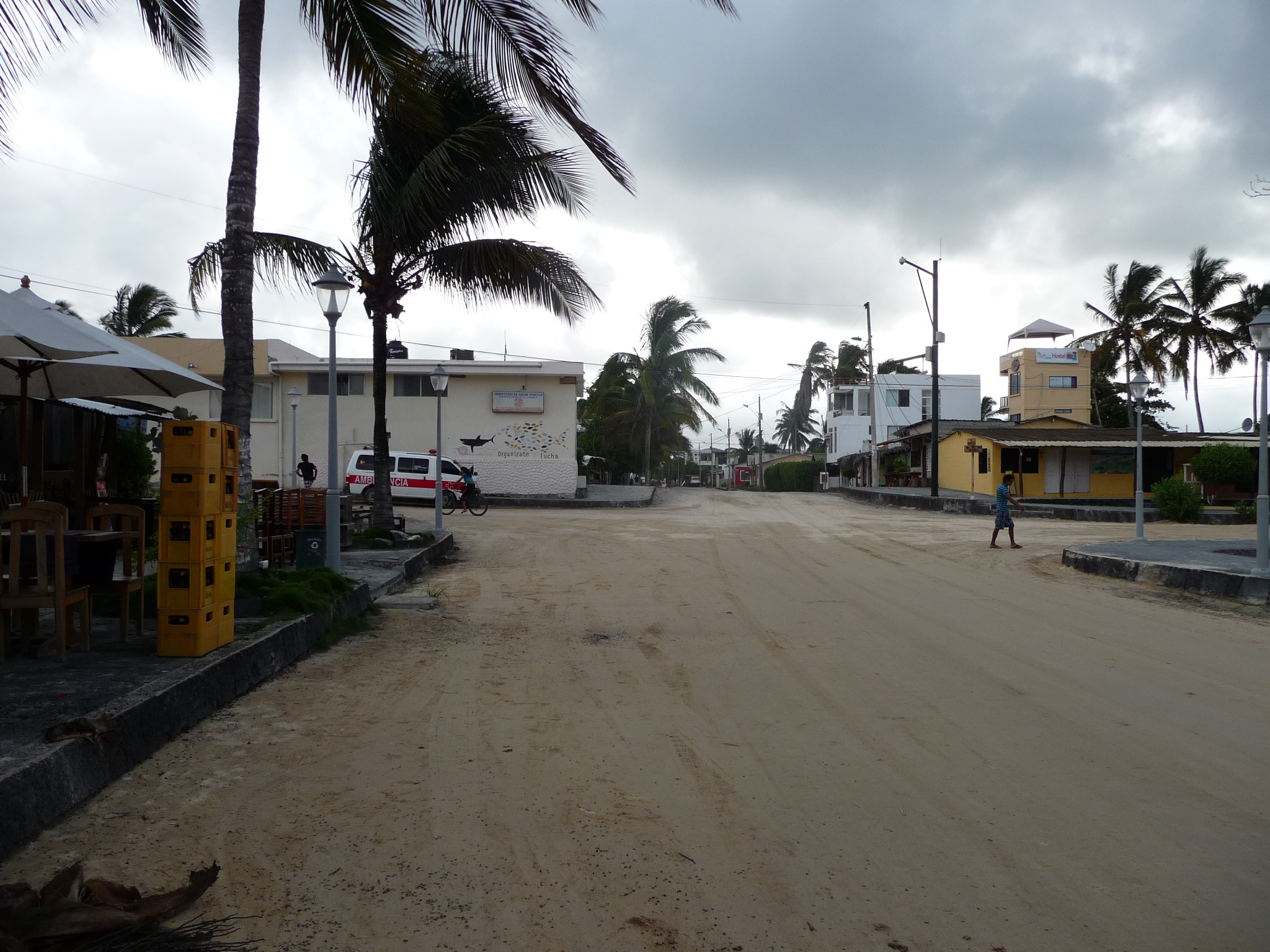
A nearby street.
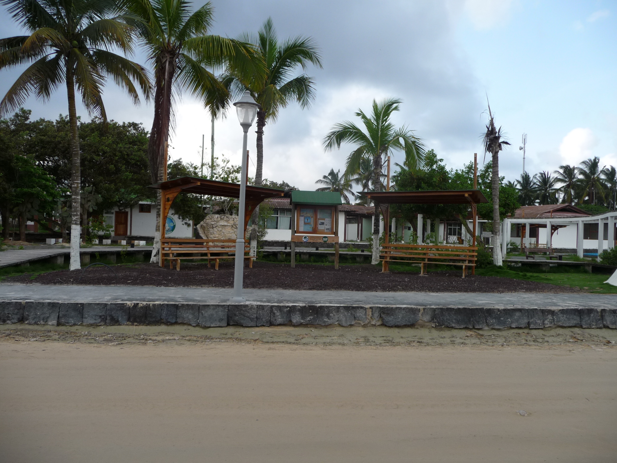
The beautiful little town plaza.
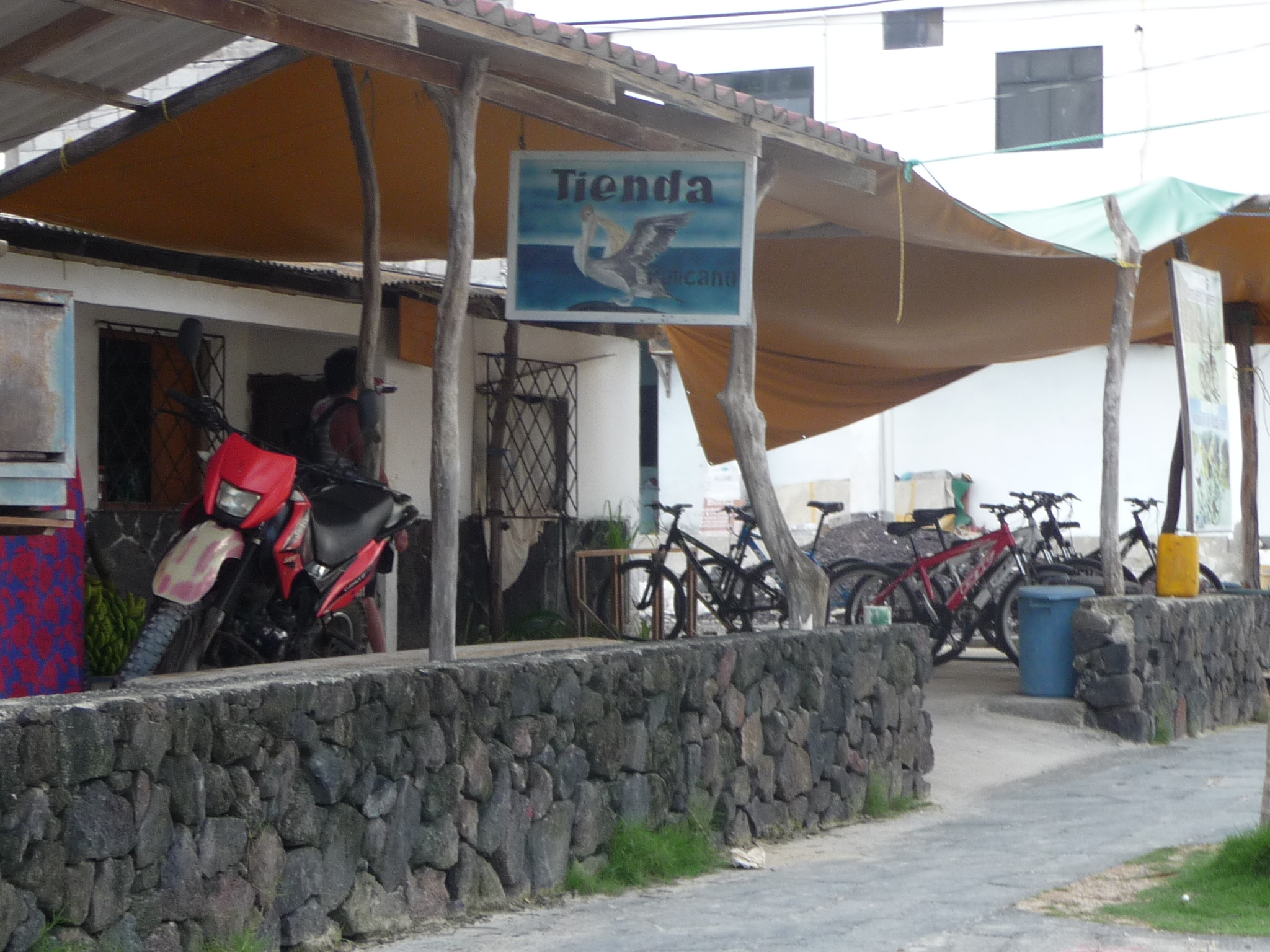
The little store where I rented my bicycle for $2.00 per hour. I am really glad I paid the money to do my fun trip.
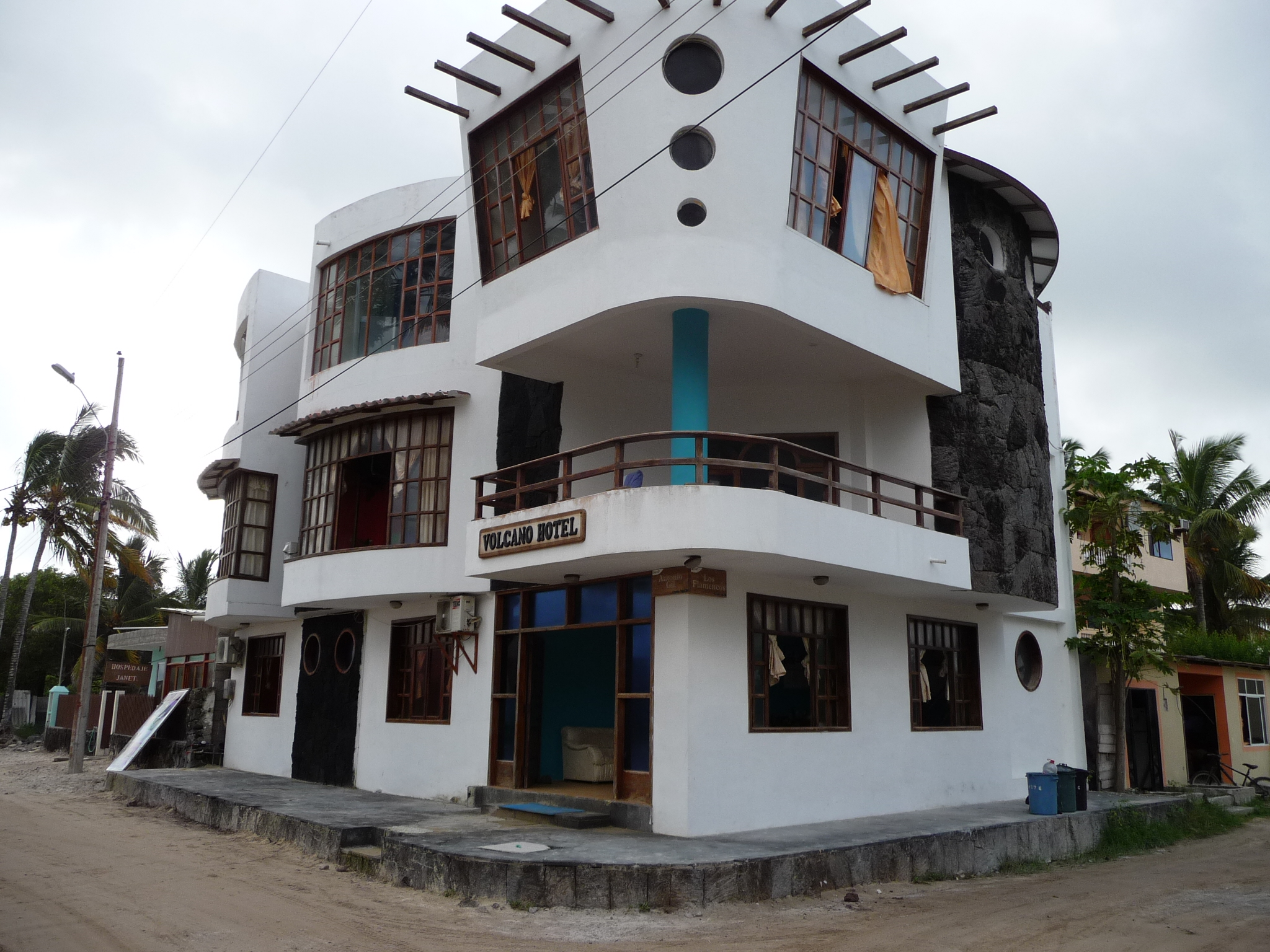
This is my little hotel – “Volcano Hotel”.
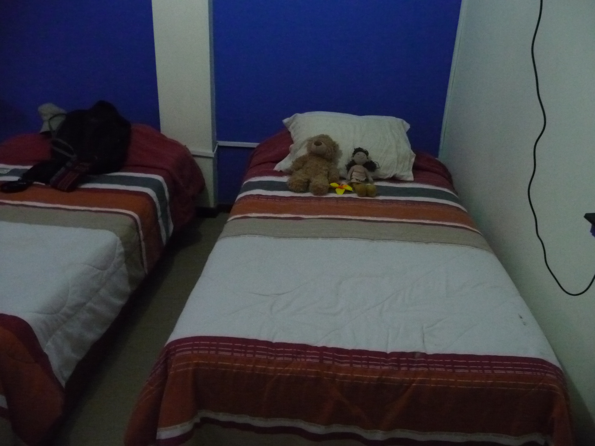
And Bobby-bear and Brenda-doll agree with me that the room is delightful and comfortable. The air conditioning is quiet and very efficient. I am so grateful for the cool air every time I walk into my room.
Los Tuneles
On May 31, 2015, I took an all day snorkeling tour to “Los Tuneles” (The Tunnels). During the first snorkeling part of the tour I was only five or six feet away from a small group of darling Galapagos Penguins. And then, our guide found a large “sea horse” about eight feet down, clinging to a plant down there. I have seen small sea horses before, but never one that large – at least eight to ten inches tall.
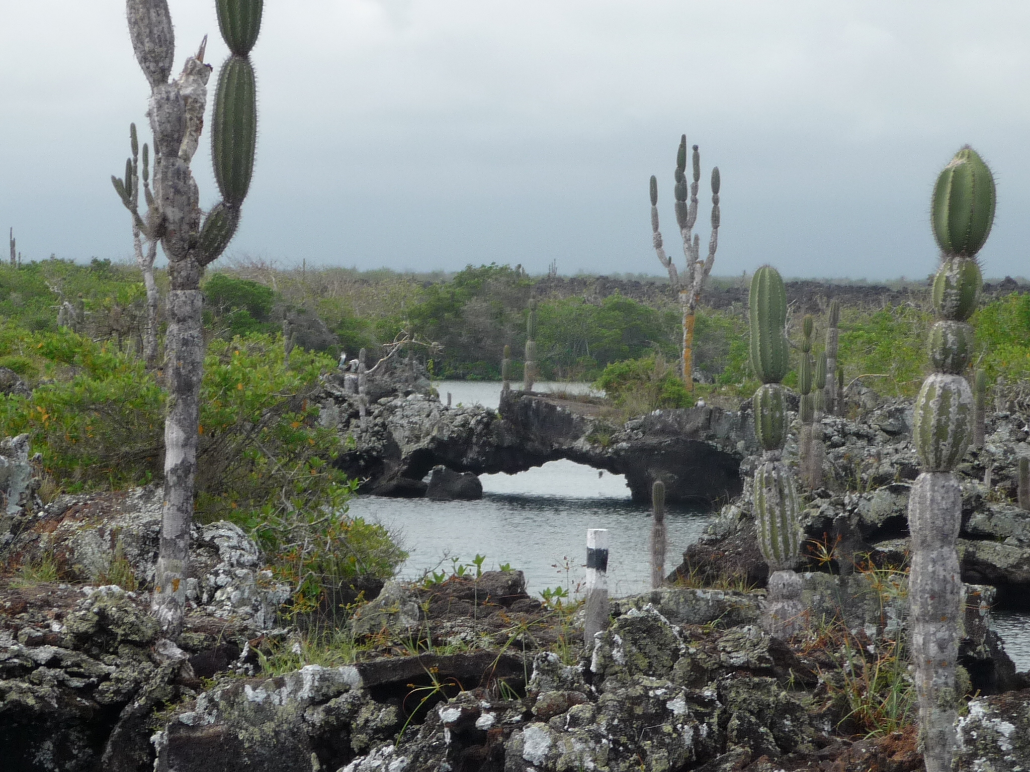
After snorkeling in our first location, we went to the “Tunnels” area – which is a lava rock area in the middle of the ocean waters (near shore), with lots of little lava bridges everywhere.
Afterwards, we went snorkeling at a different area where I was less than ten feet away from several very large white-tip sharks.
I have no photos of the snorkeling portions of the tour. Following are photos from the “Tunnels” area.
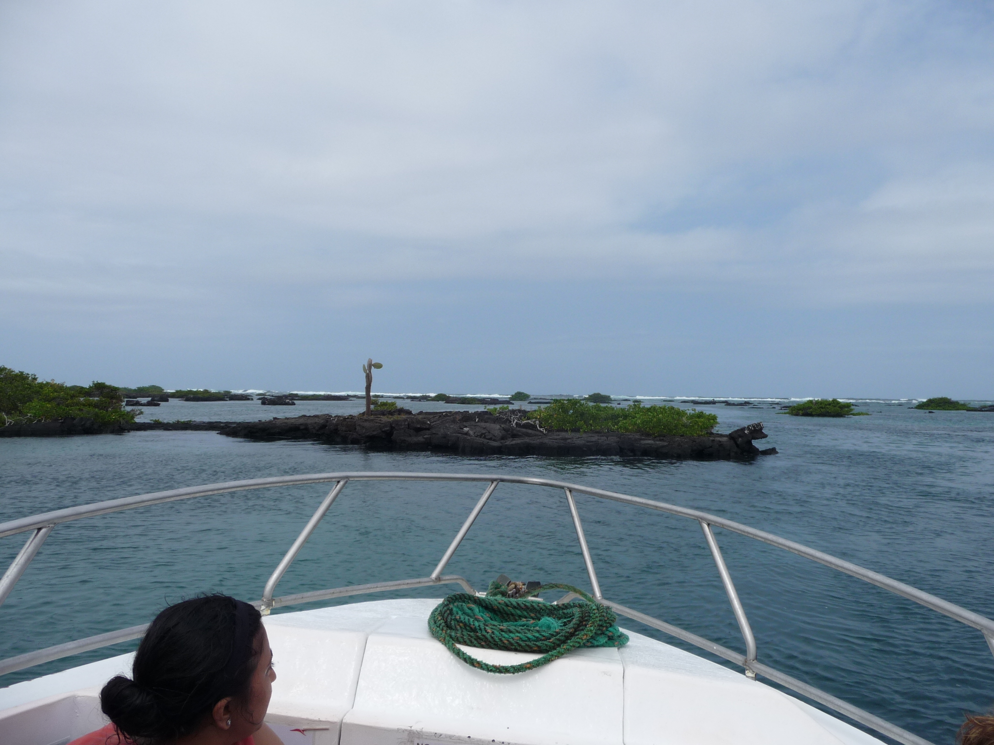
A view from our boat as we slowly cruise into the Tunnels area.
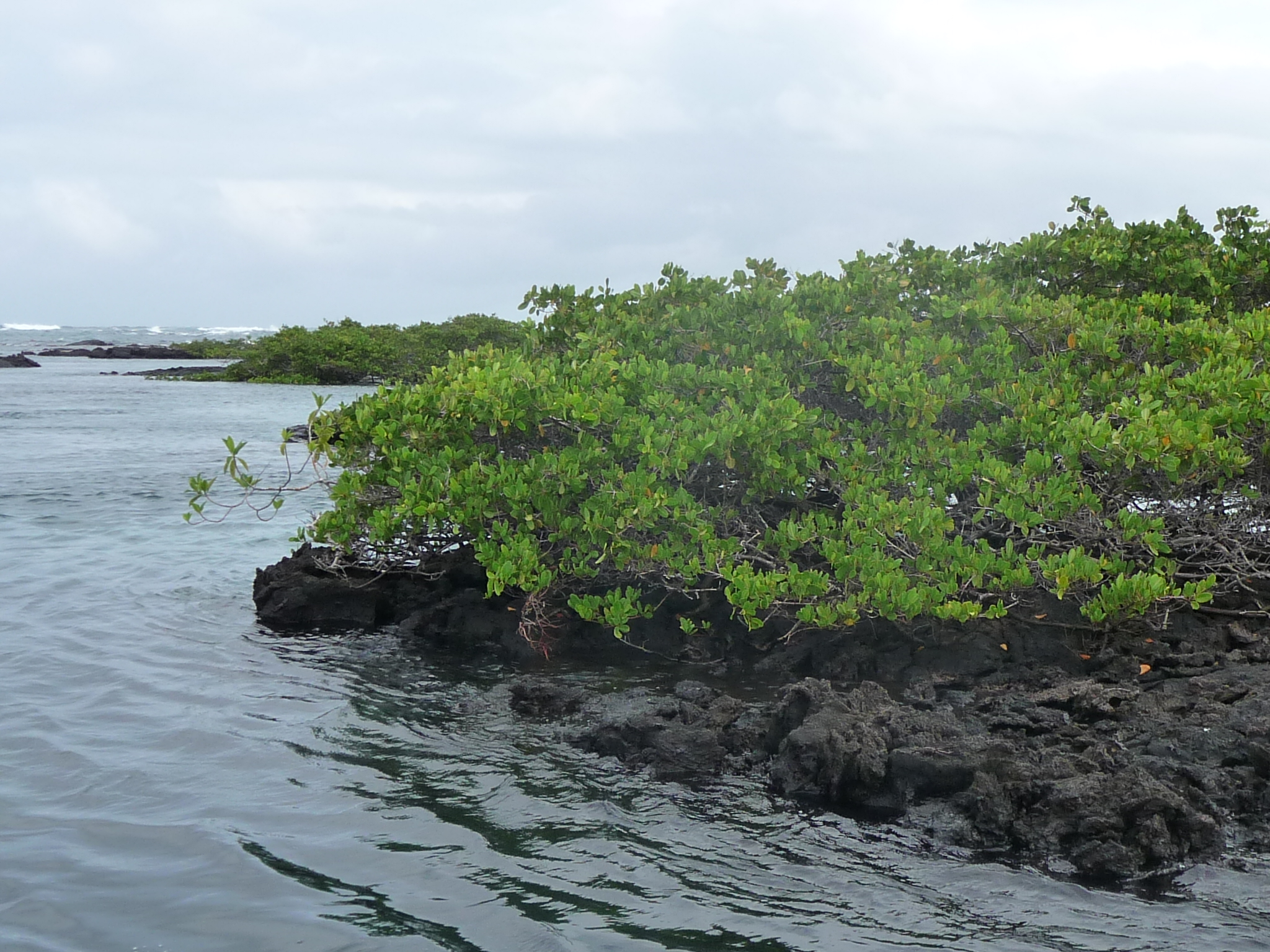
Mangroves growing around the lava.
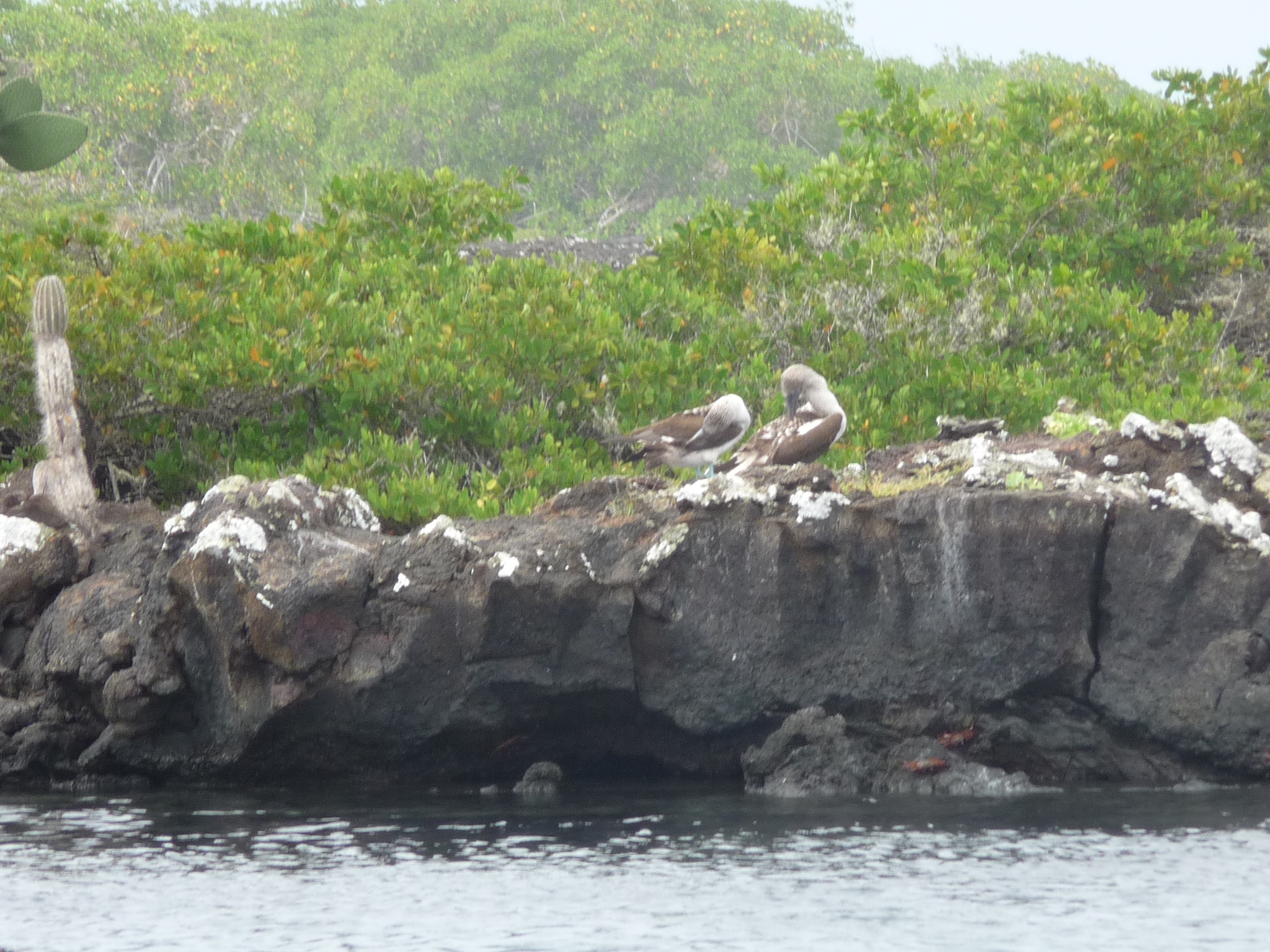
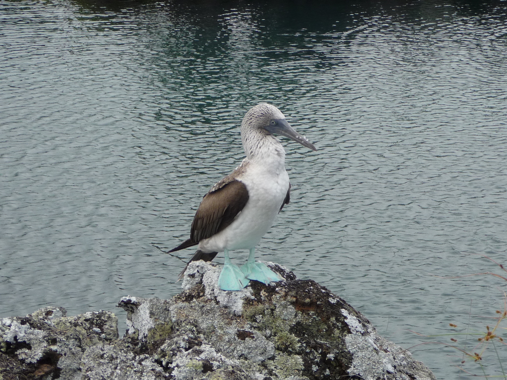
Some Blue Foot Boobies hanging out on the rocks.
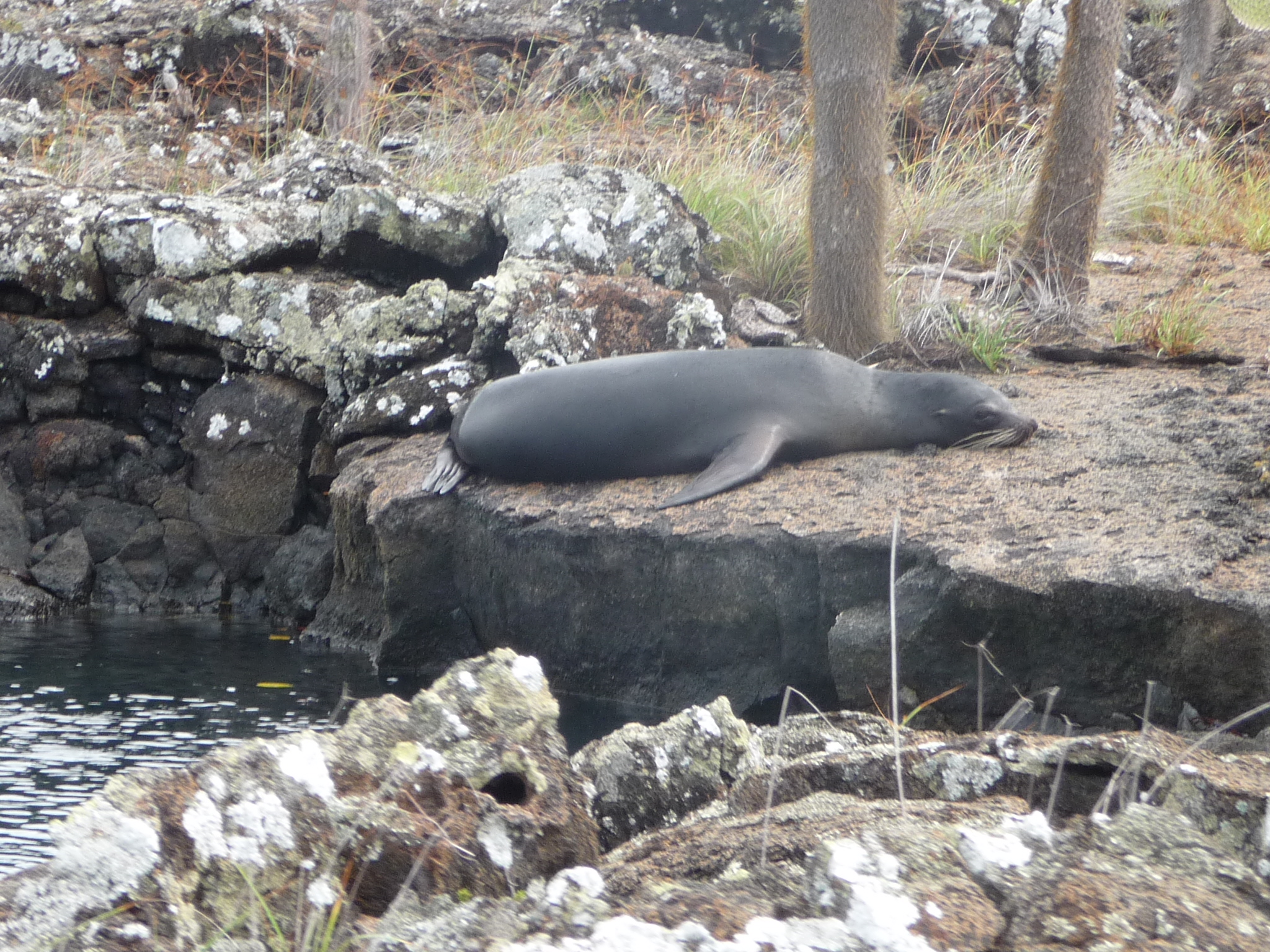
A sea lion doing what sea lions on land do.
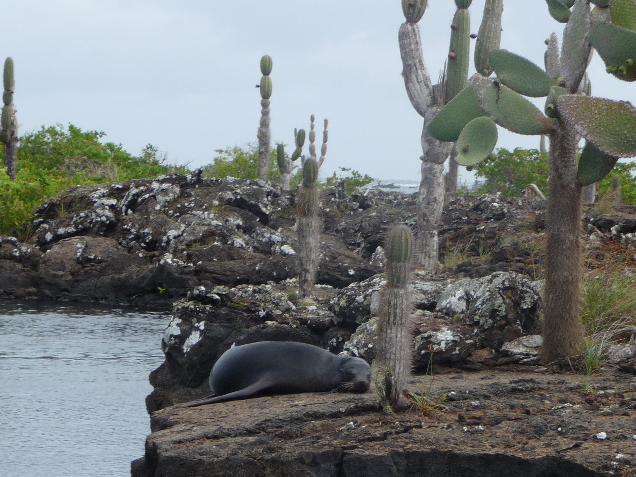
A different view of the sea lion, with some young Opuntia cactus growing just next door.
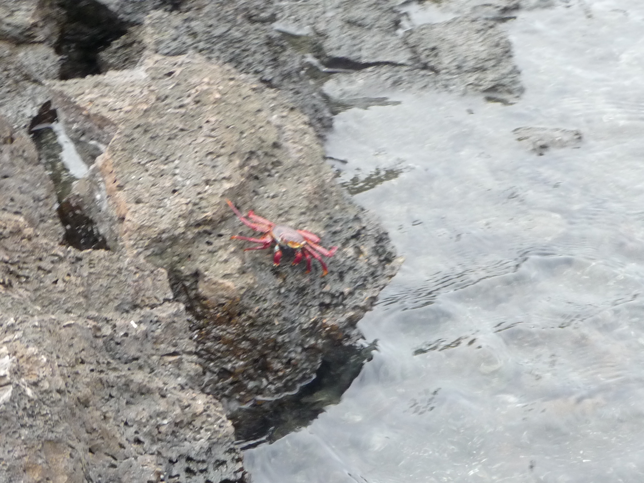
The Galapagos rocky shorelines are covered with such beautiful red crabs.
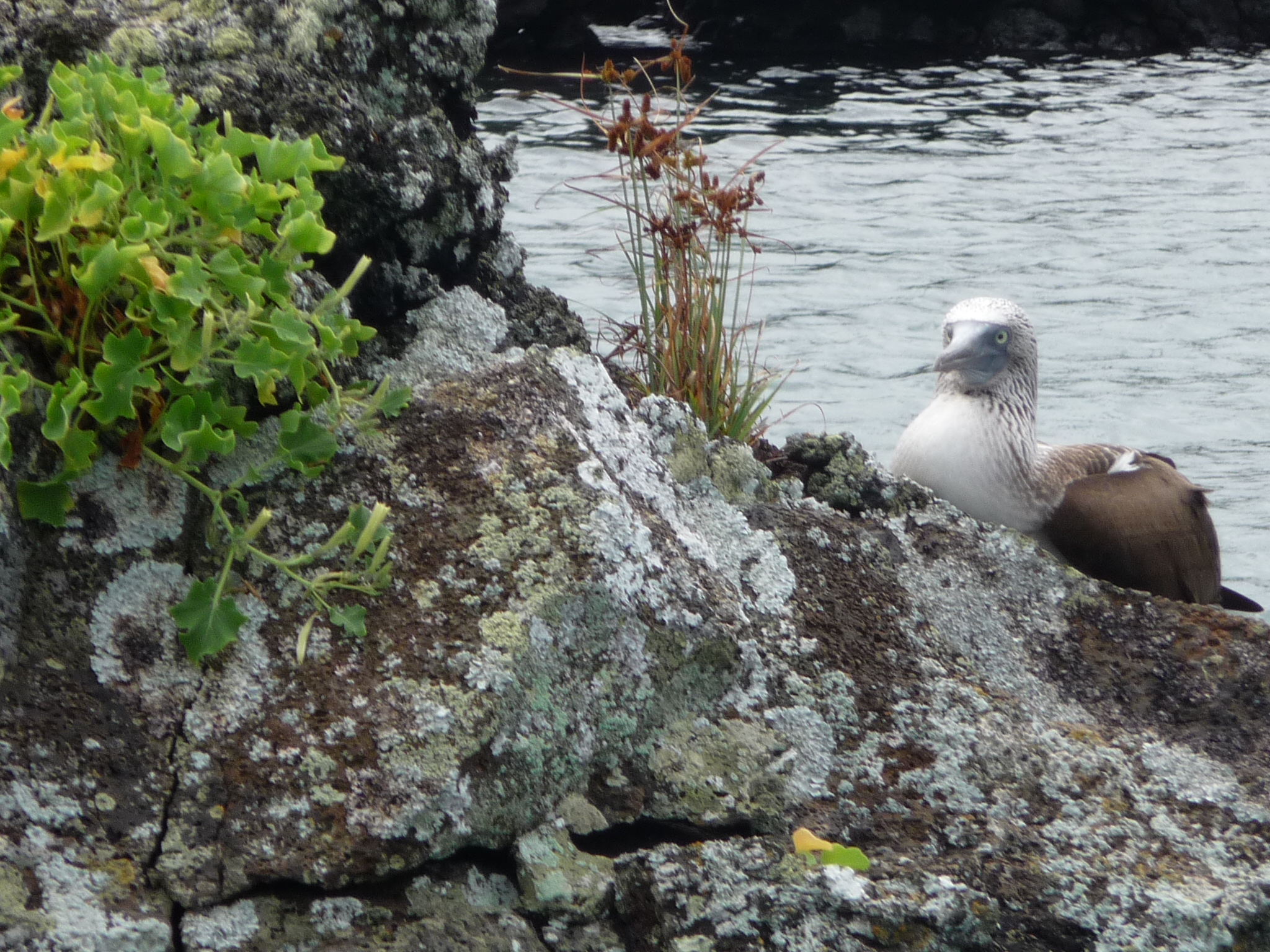
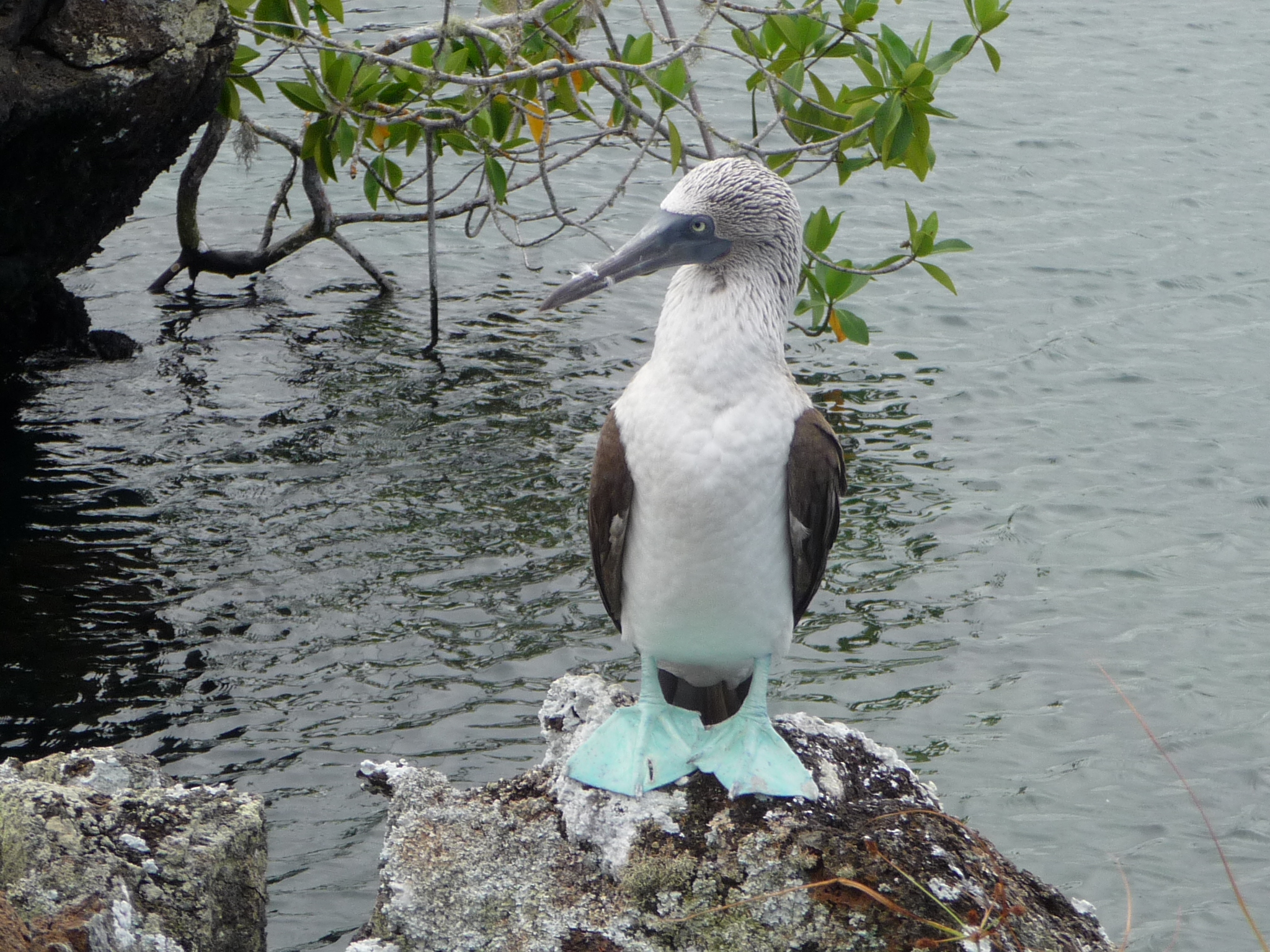
Another Blue Footed Boobie.
These birds with blue feet have a very distinct look – I love their eyes and facial expressions.
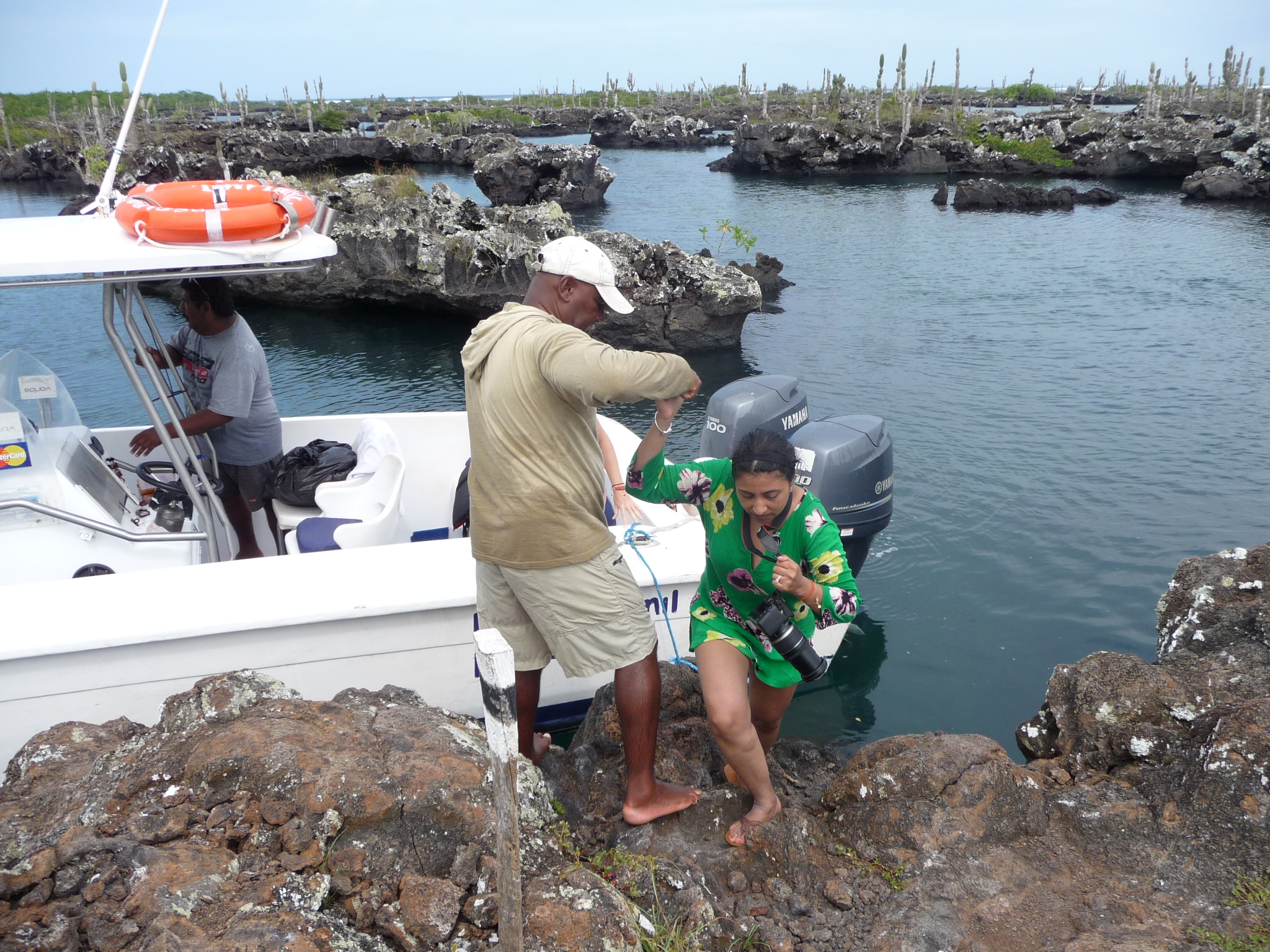
I was among the first off the boat. Here, I am looking back at others climbing onto the shore.
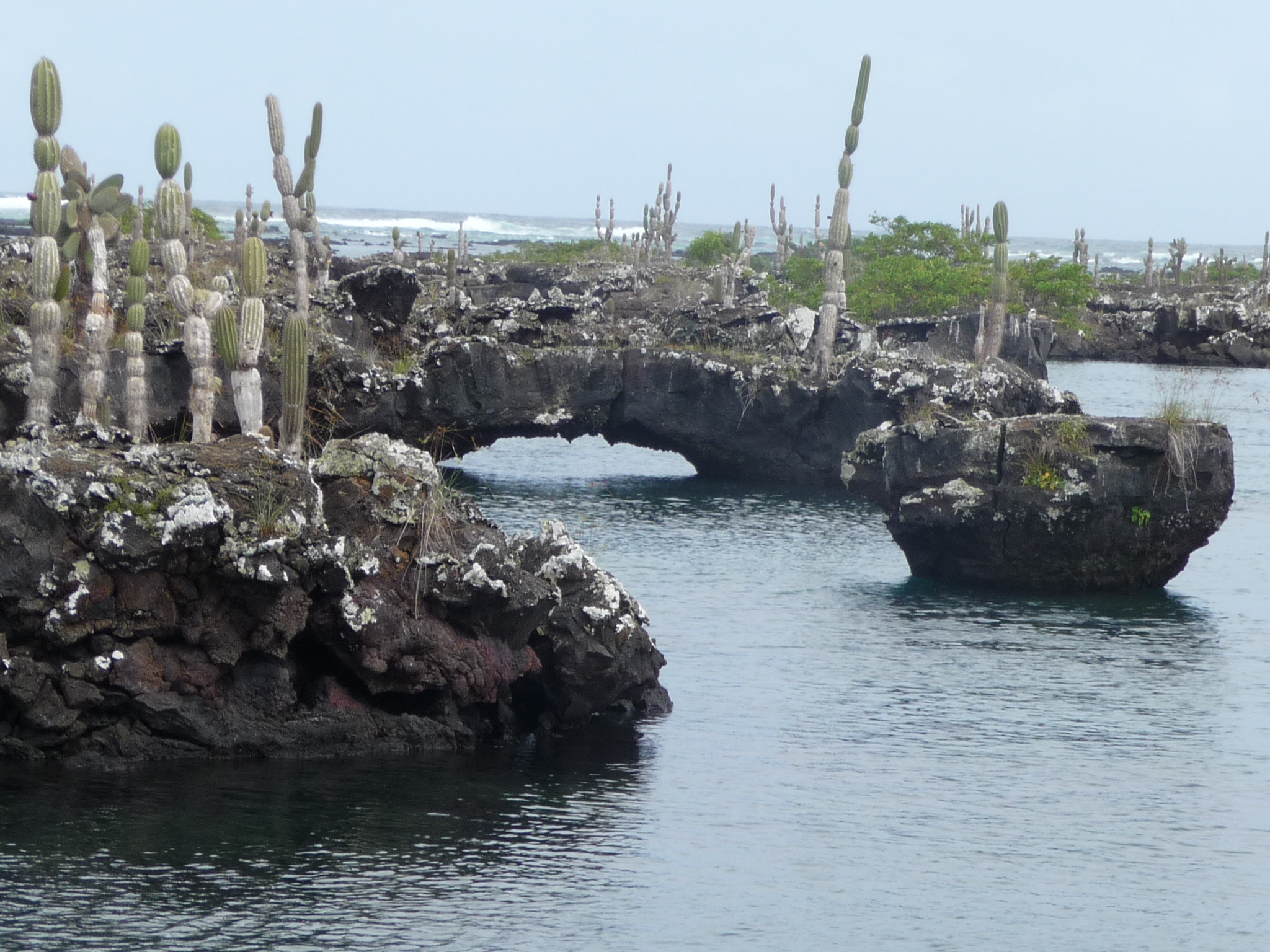
This area is gorgeous – abundant with lava bridges and unique landscape / wildlife.
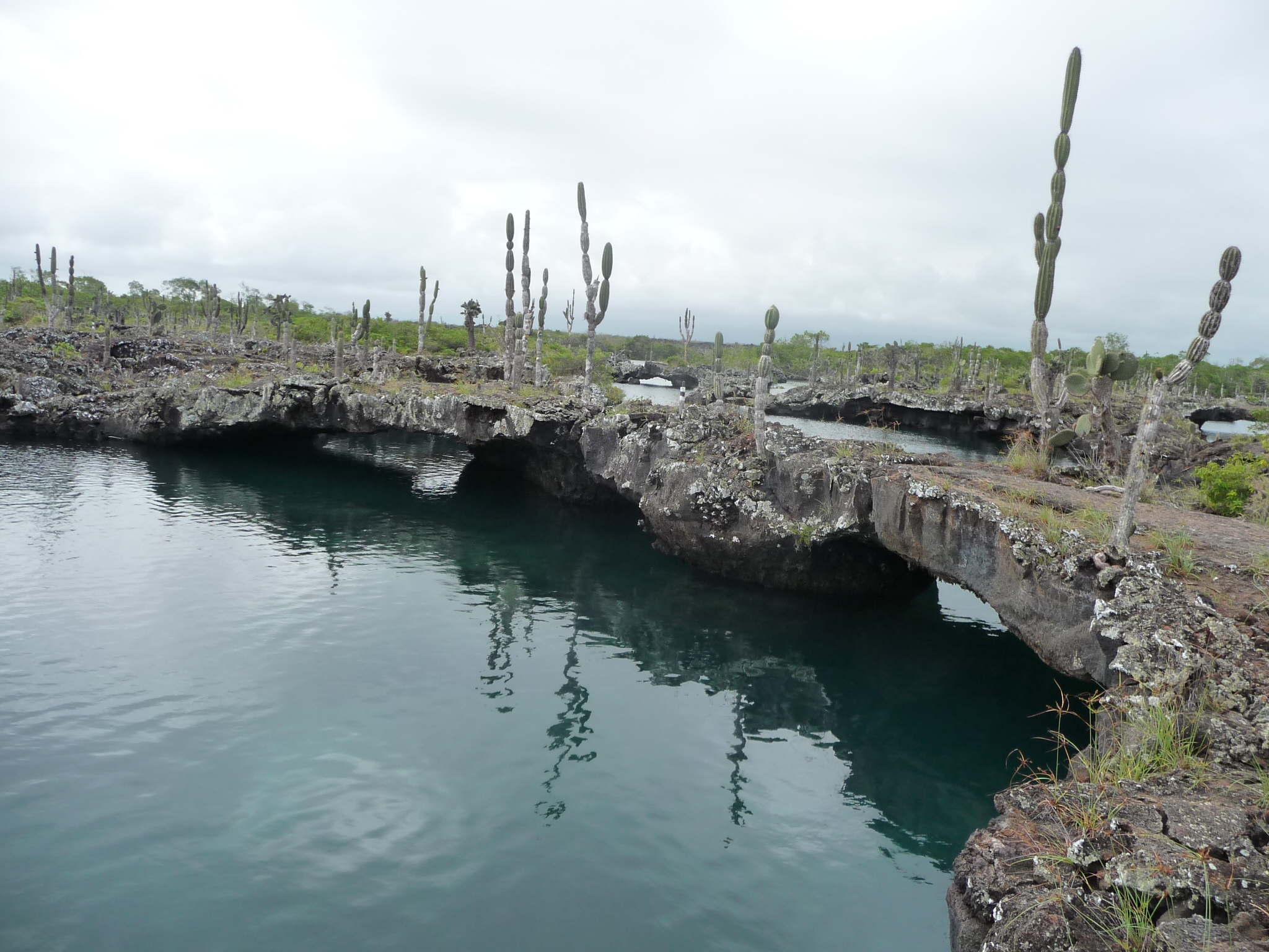
More lava tunnels and towering “Candelabro” cactus.
More of the same – yet so beautiful and unique.
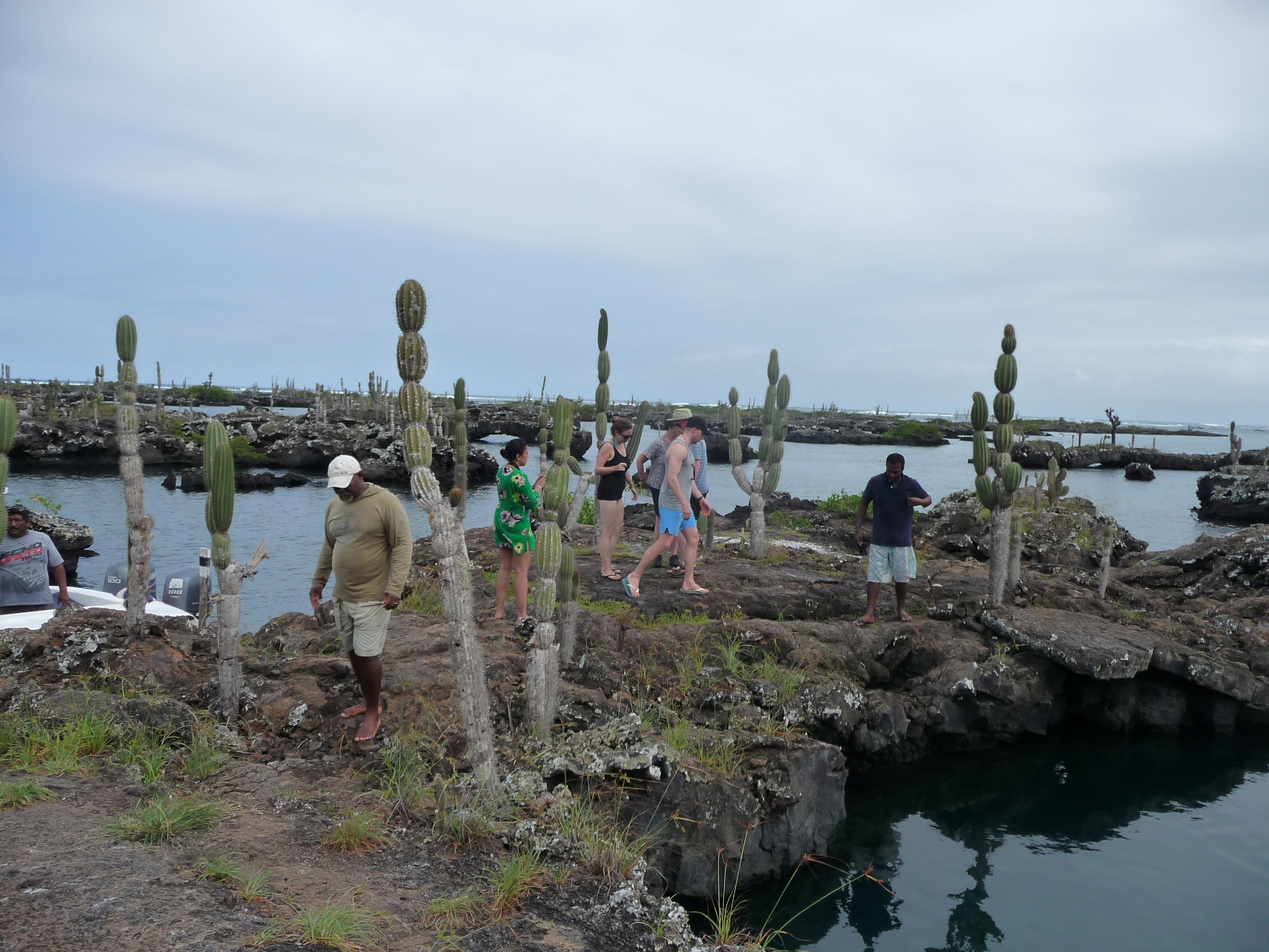
We are allowed to walk a hundred yards or so, into one specific restricted area.
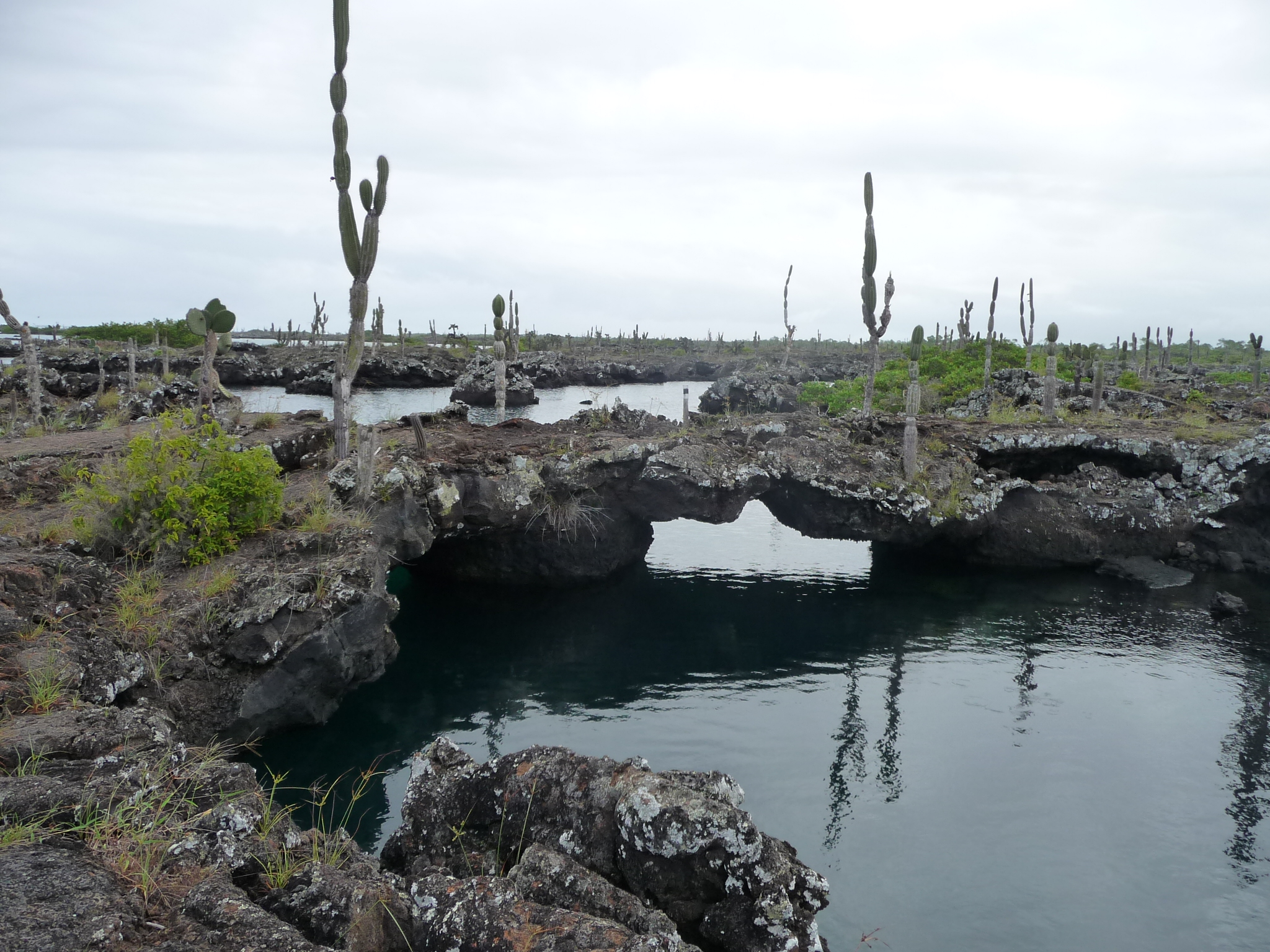
More of the beauty all around.
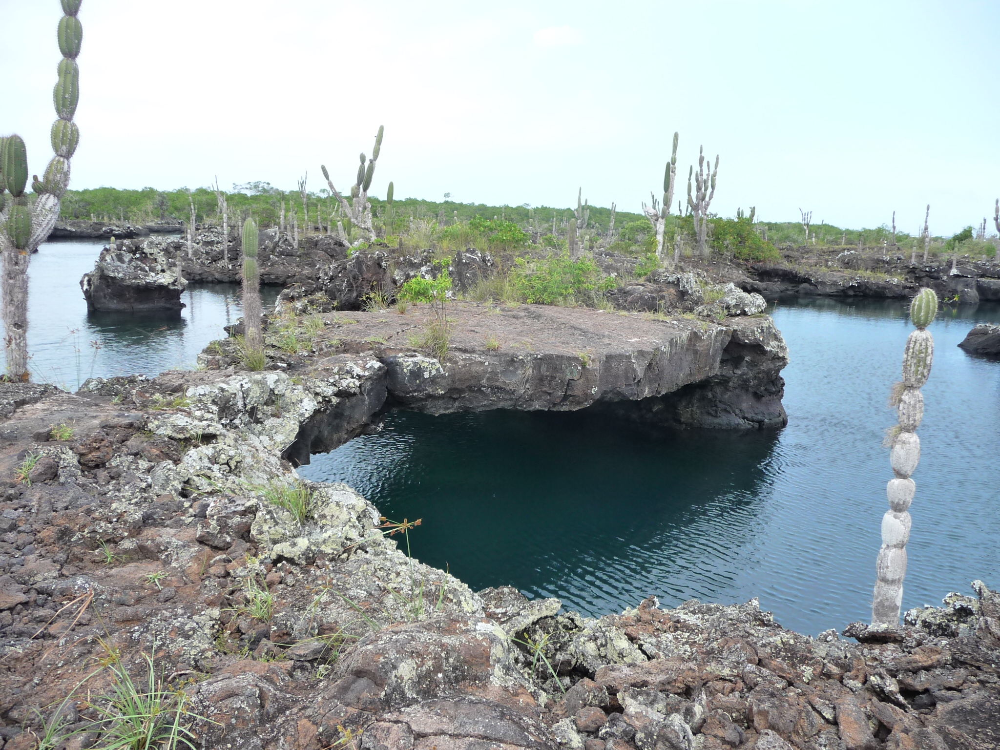
Every lava bridge / arch is so unique.
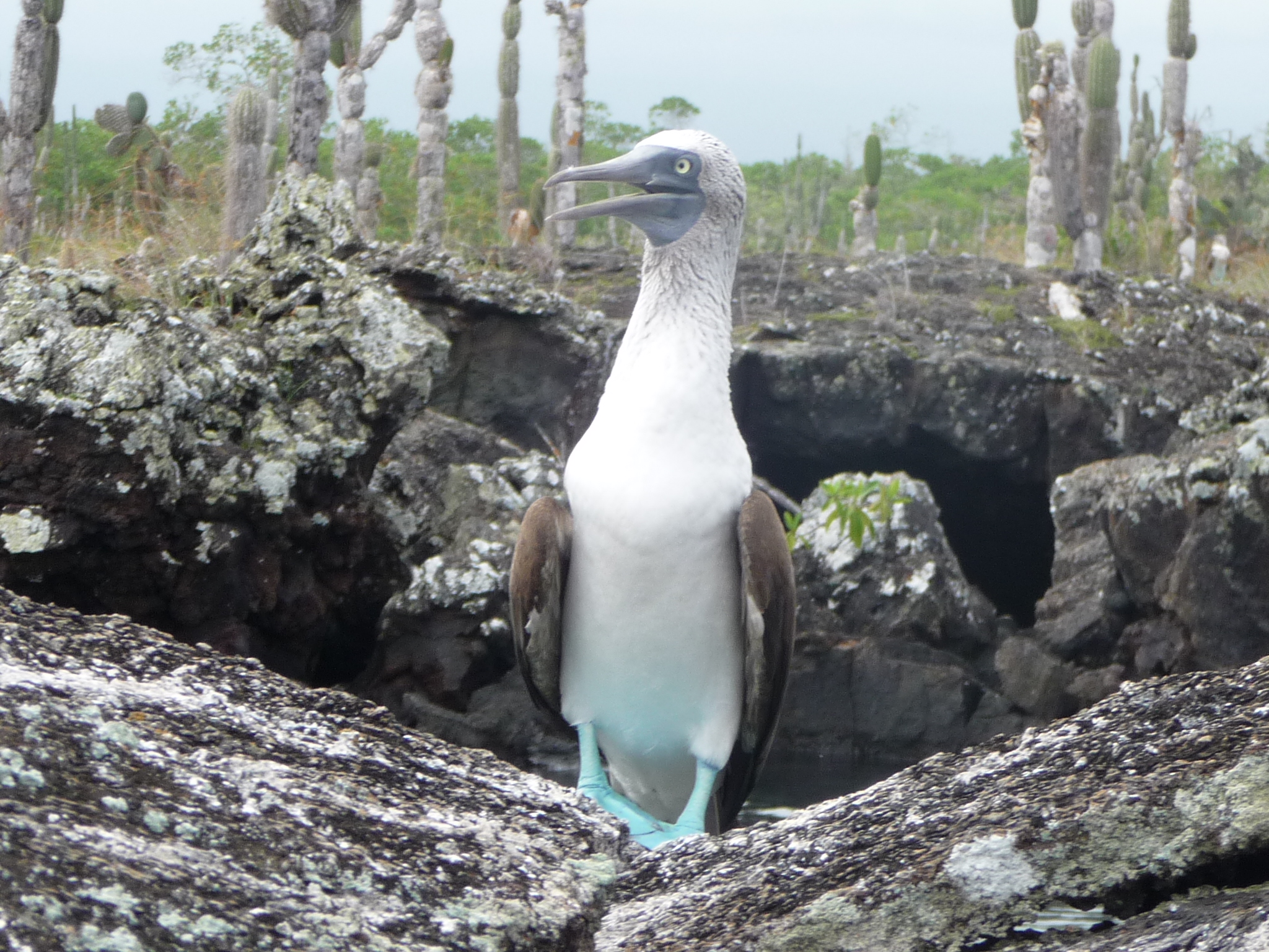
This adorable “Blue Foot Boobie” poses for us at the end of our trail.
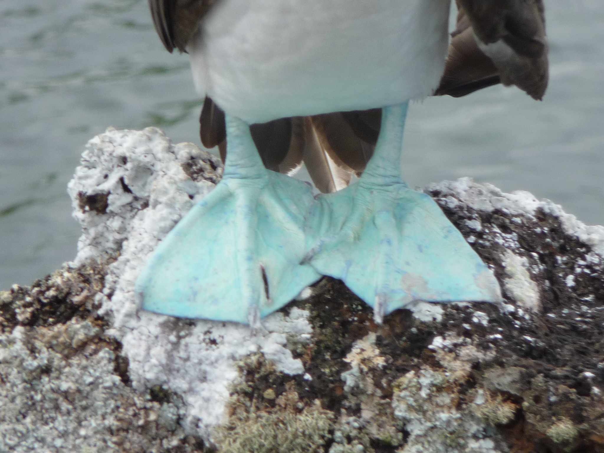
A closeup of his blue feet. There are three types of Boobies in the Galapagos Islands. The Blue-Foot, the Nazca, and the Red-Foot. I saw both of the first two … but never did see the red-foot variety.
If I had wanted to pay for an expensive tour on my final Island, I could probably have seen the red-foot ones, but my heart guided me in different directions.
And another perfect pose. Click to enlarge for the beautiful details.
The Volcanoes – Sierra Negra and Chico
On Monday, June 1, 2015, I began the day at 7:00 a.m. with a tour to some volcanoes at the south end of Isabela Island.
Isabela is the newest of the Galapagos Islands, and has actual active volcanoes, mainly at the north end of the island. But even the volcanoes on the south end (where I am going) have been active as recently as ten years ago.
On the north end, a volcano erupted just a few days before I arrived in the Islands.
If you are familiar with the Hawaiian Islands, Isabela might be compared to the Big Island of Hawaii – because it is the most recently formed island with still-active volcanoes. The further east you go, the older the islands are, with richer vegetation (because of more time for erosion, creating soil and plant growth). The final island I visit (San Cristobal) is the oldest, on the eastern end of the group of Galapagos islands.
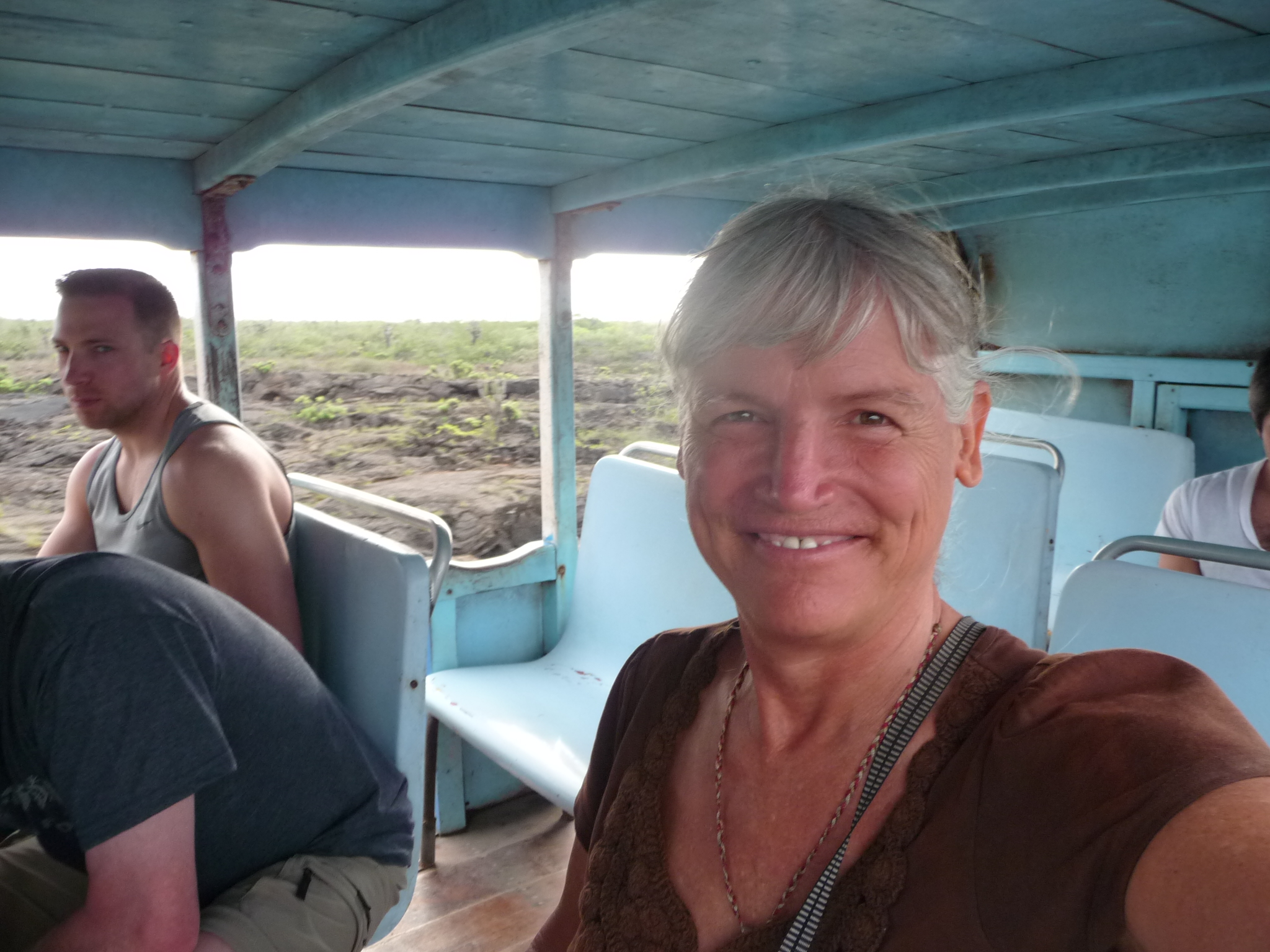
We began the tour on an open-air bus – another flatbed truck with benches and a roof on top. I am very happy, with a big grin.
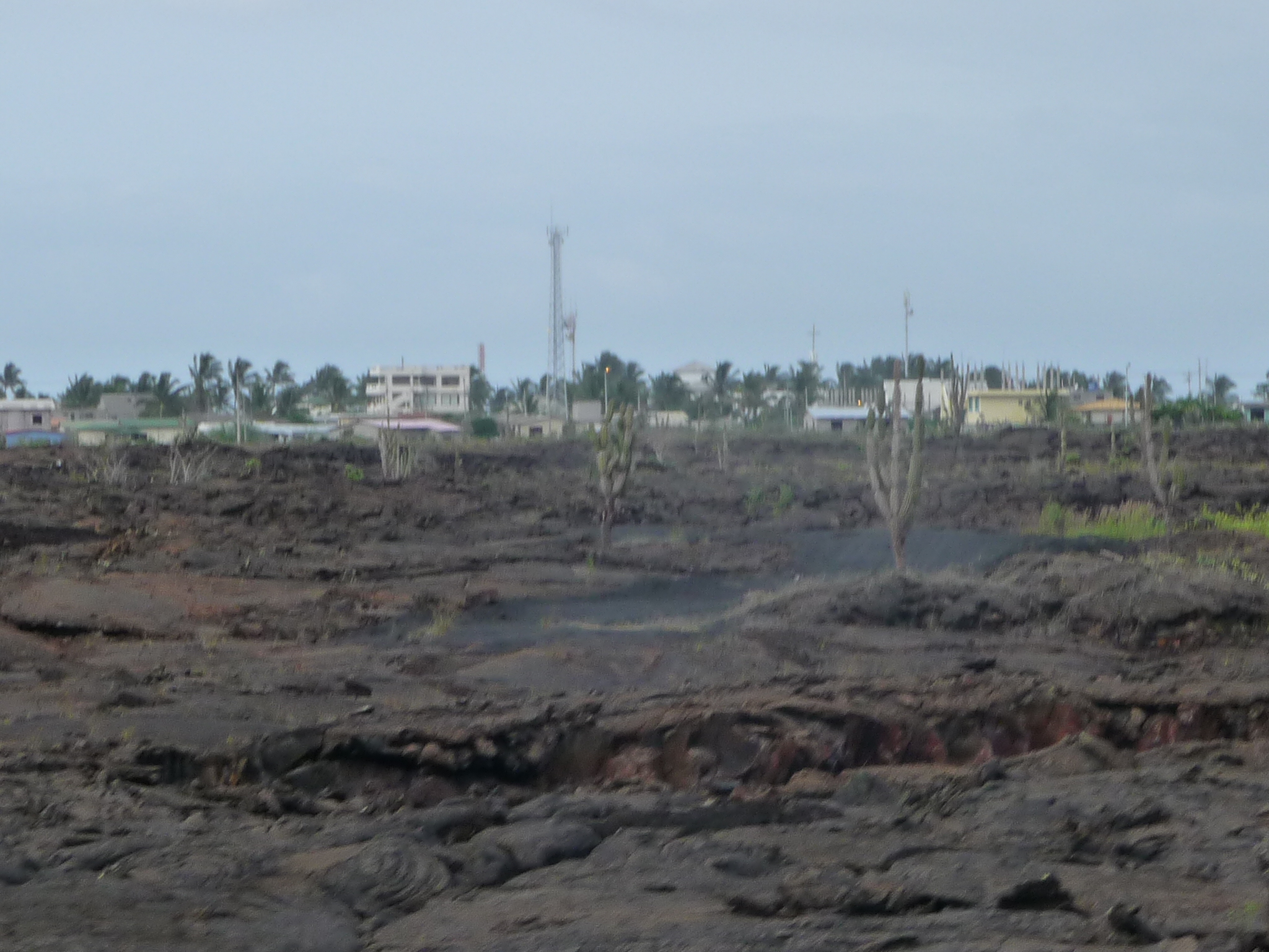
Looking back toward Puerto Villamil as we begin our journey toward the highlands of the Island.
There is a great deal of lava down here at sea level as well.
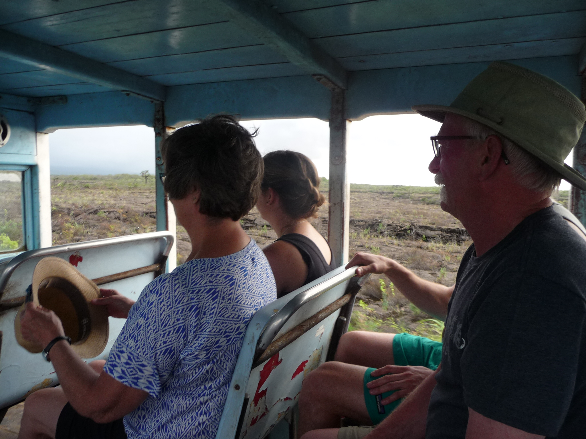
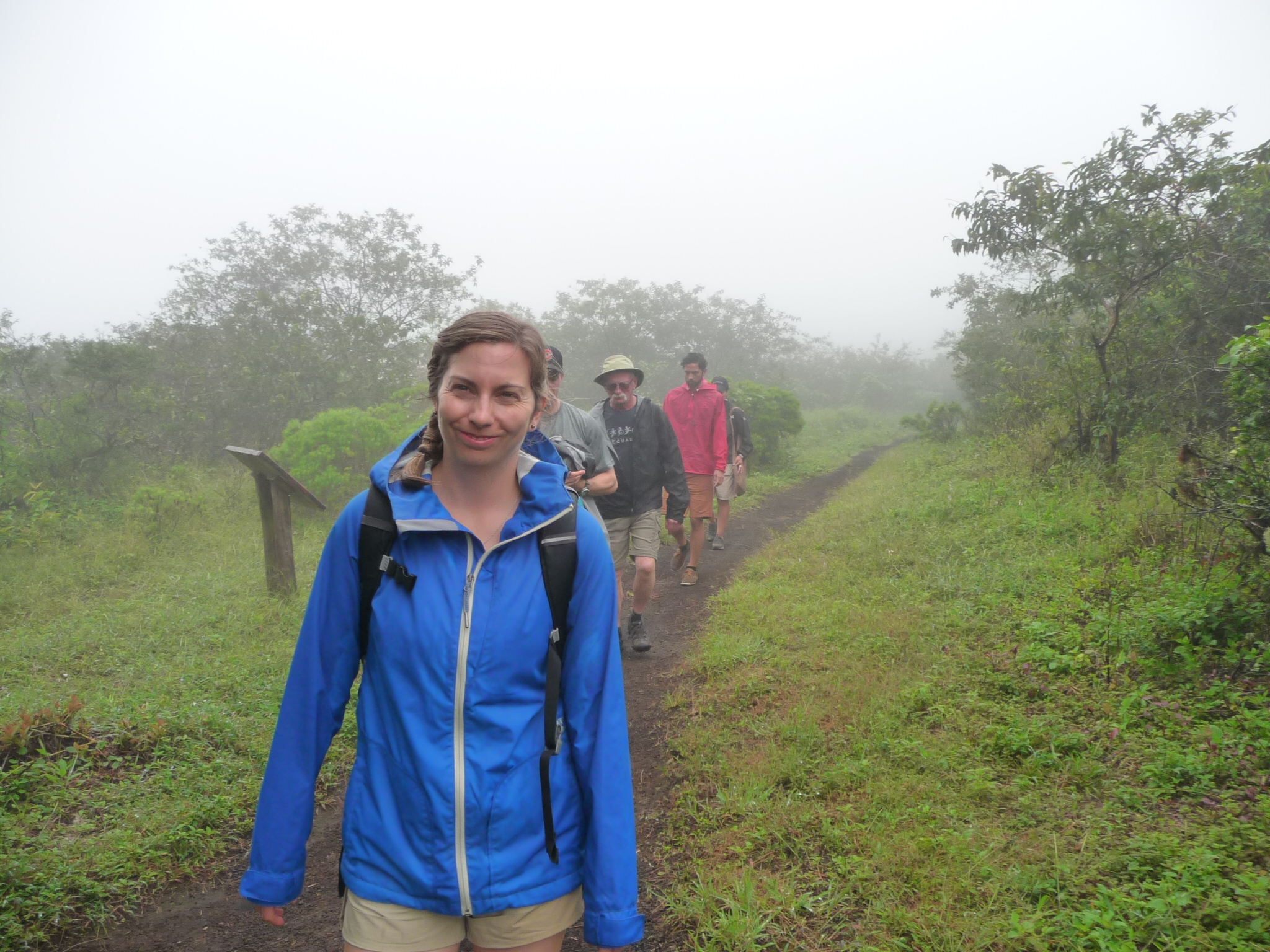
A view of a few other passengers. I had a lot of fun talking to this family – parents and two older children. I think they were from Canada.
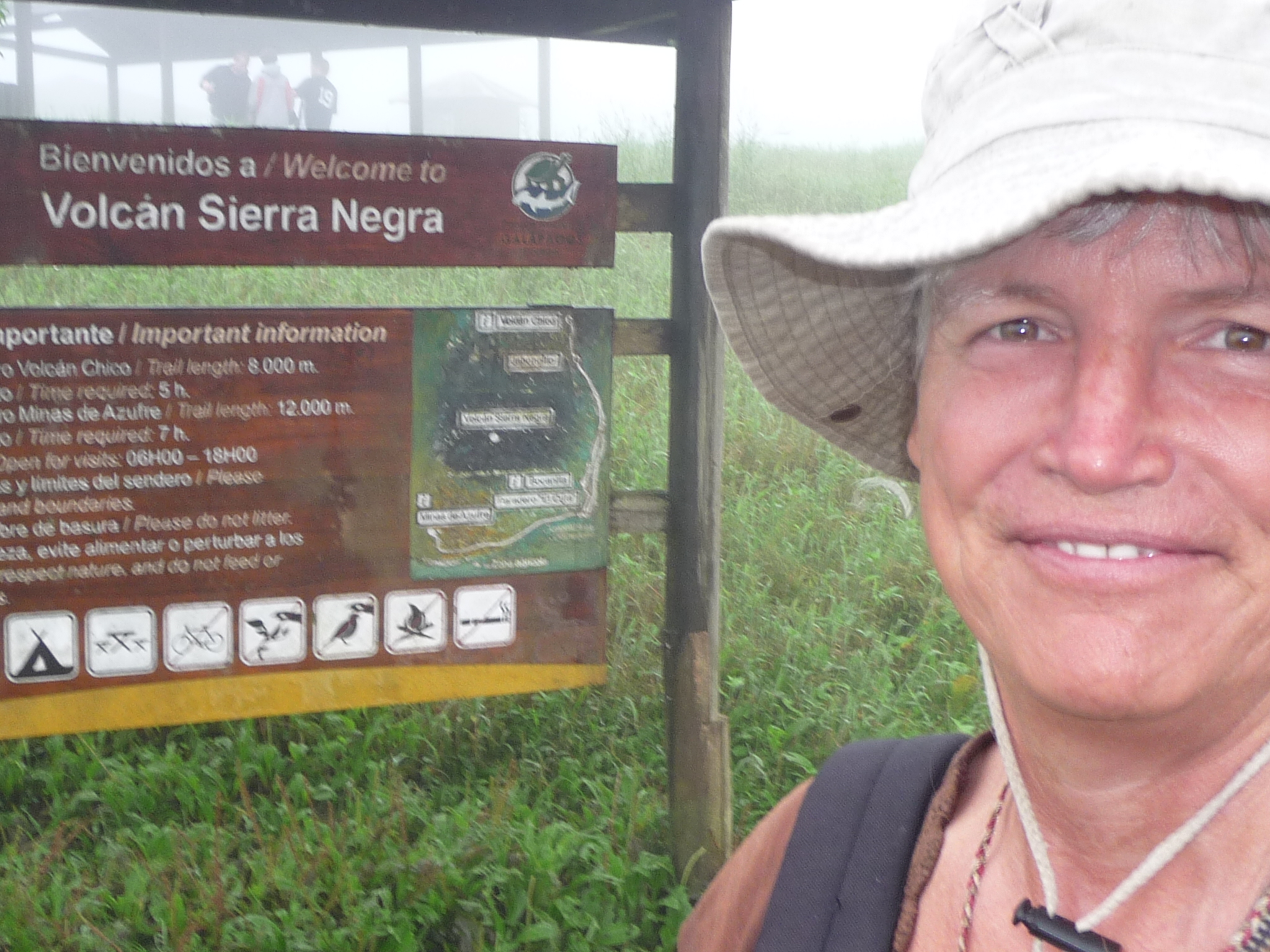
A not-so-great photo of me in front of the sign that reads “Volcan Sierra Negra”. It says the trail is eight kilometers in length (sixteen round trip) – or about ten miles round trip.
I cannot see it on the sign, but our guide told us that the volcano here is at about 3000 feet above sea level.
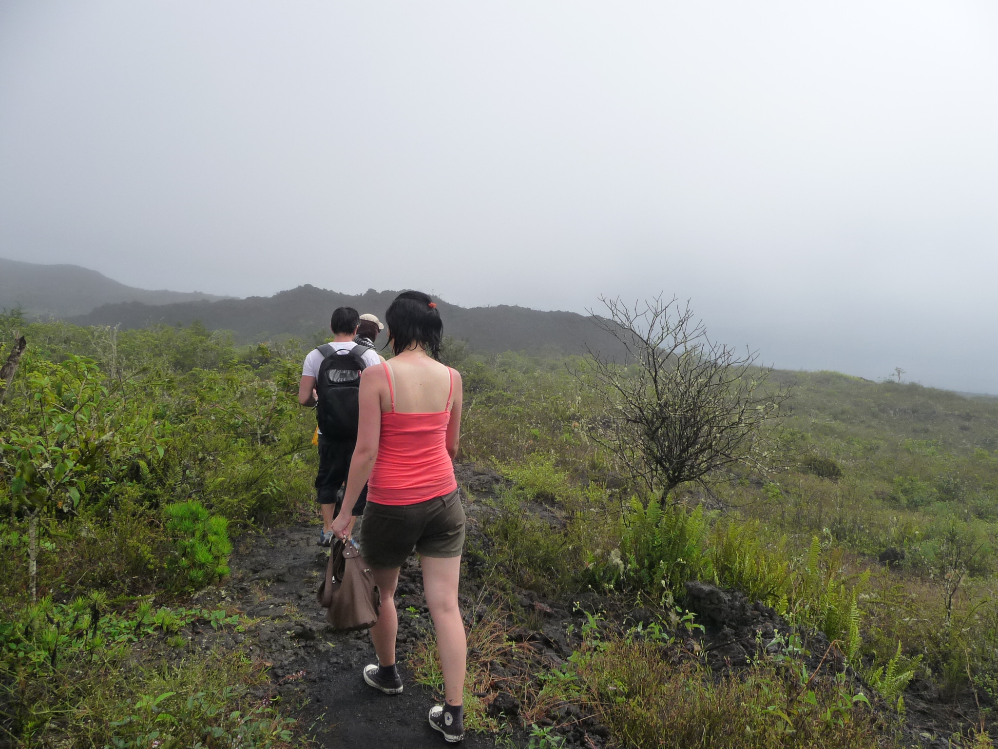
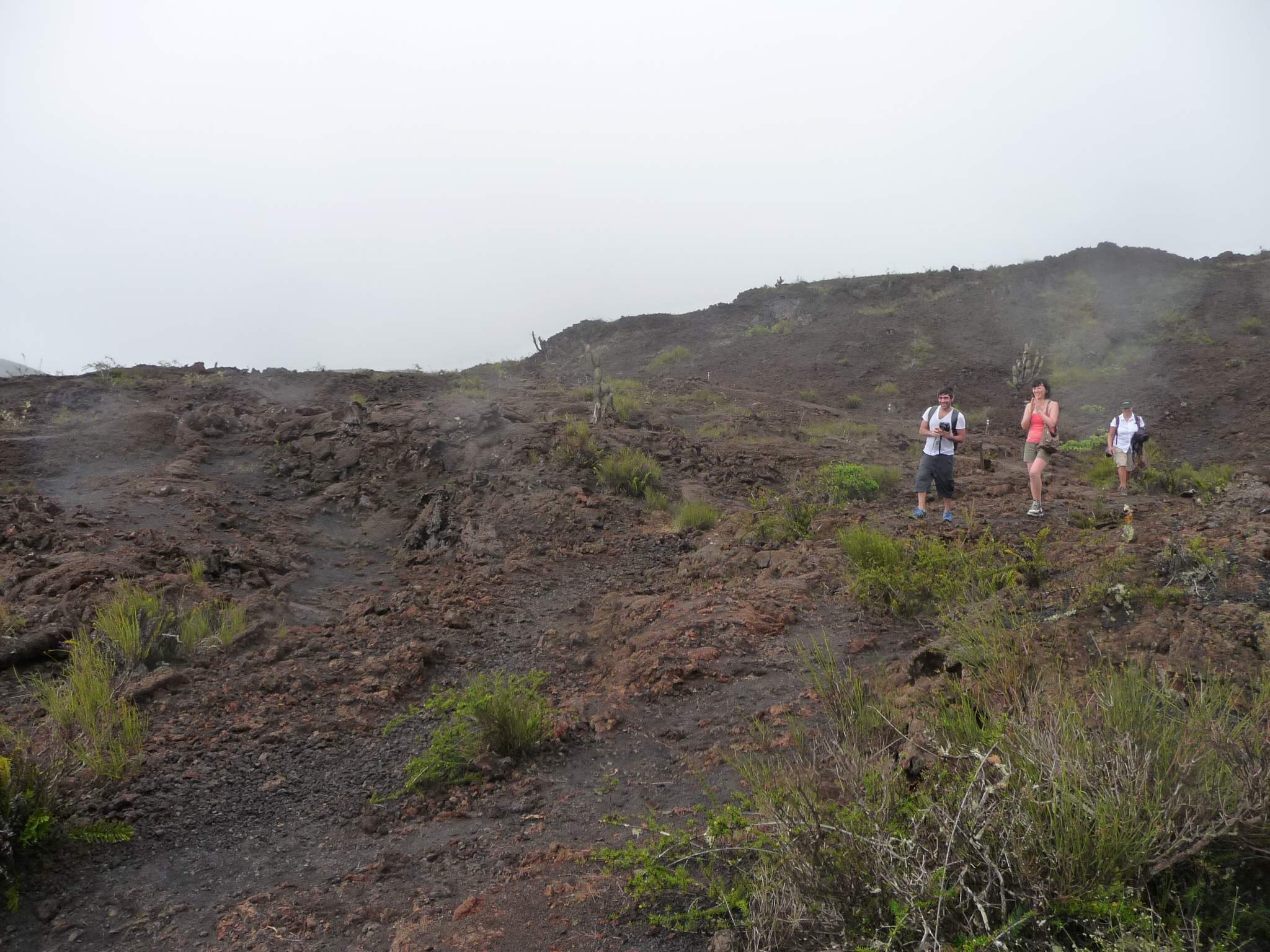
It was quite wet up here – a constant drizzle that they call “garua” (gah – ROOO – uh). I am not carrying any rain-resistant clothes, but I did have an umbrella to try to keep my day pack dry.
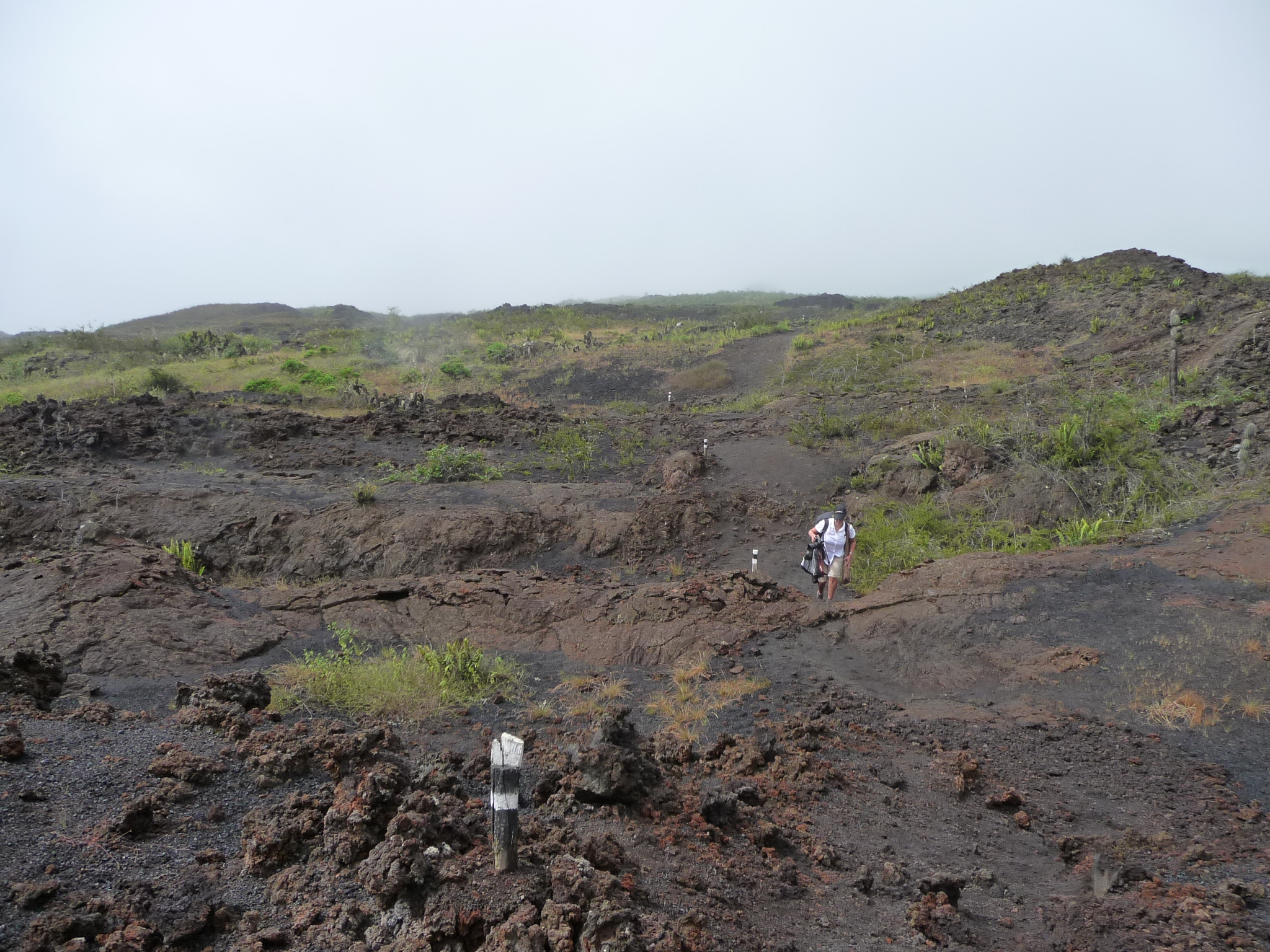
I was really unprepared for the muddy trail of the first few miles.
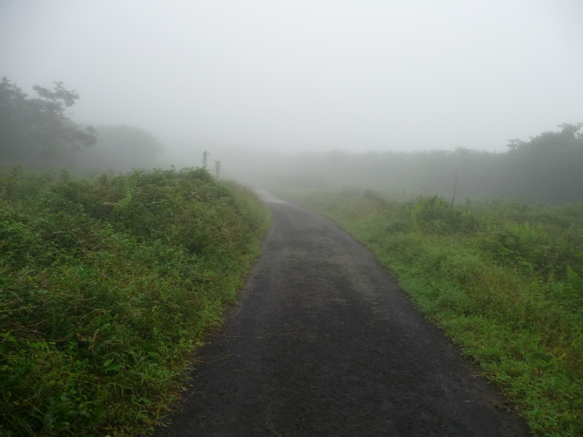
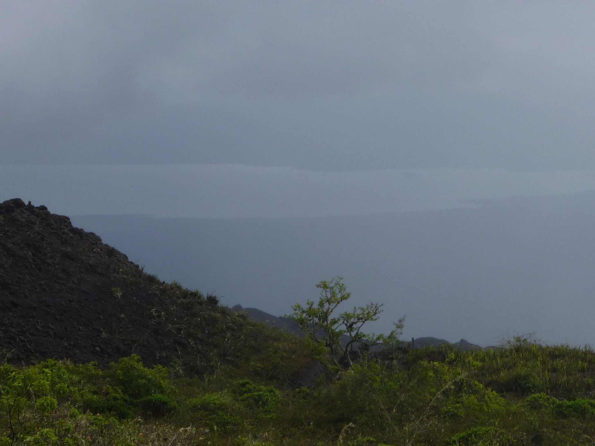
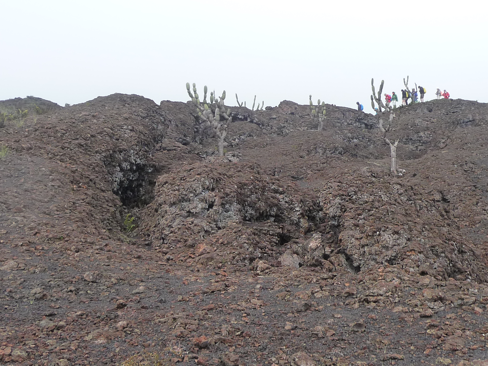
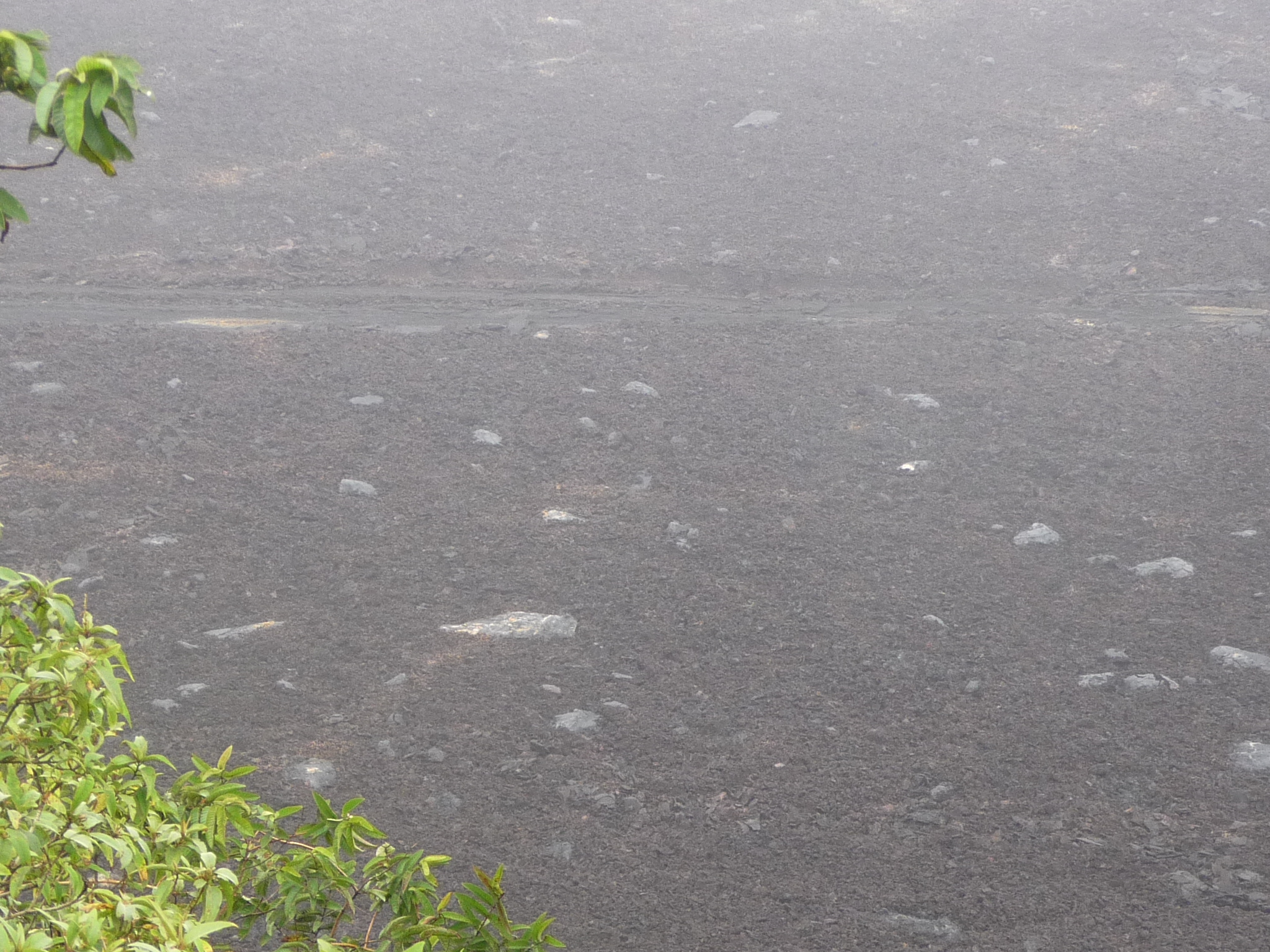
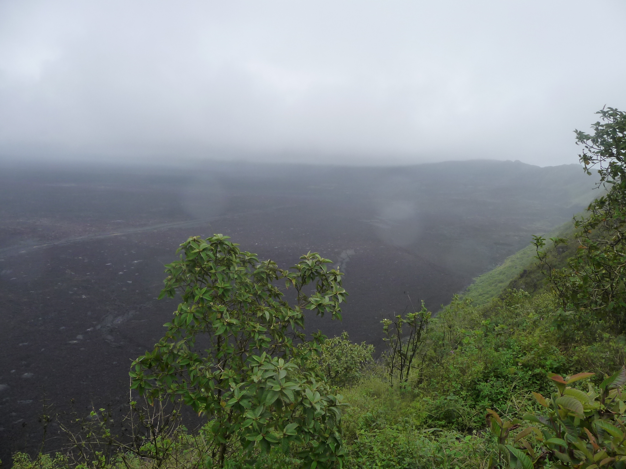
We took off hiking into a fog, and could not see hardly anything for the entire first hour. We walked right by the huge crater of Volcan Sierra Negra, and did NOT see it at all.
I was so busy trying to keep my cloth tennis/hiking shoes from getting overly muddy that I did not use my camera much in that first hour. I ended up having to step in six-inch deep puddles anyway …
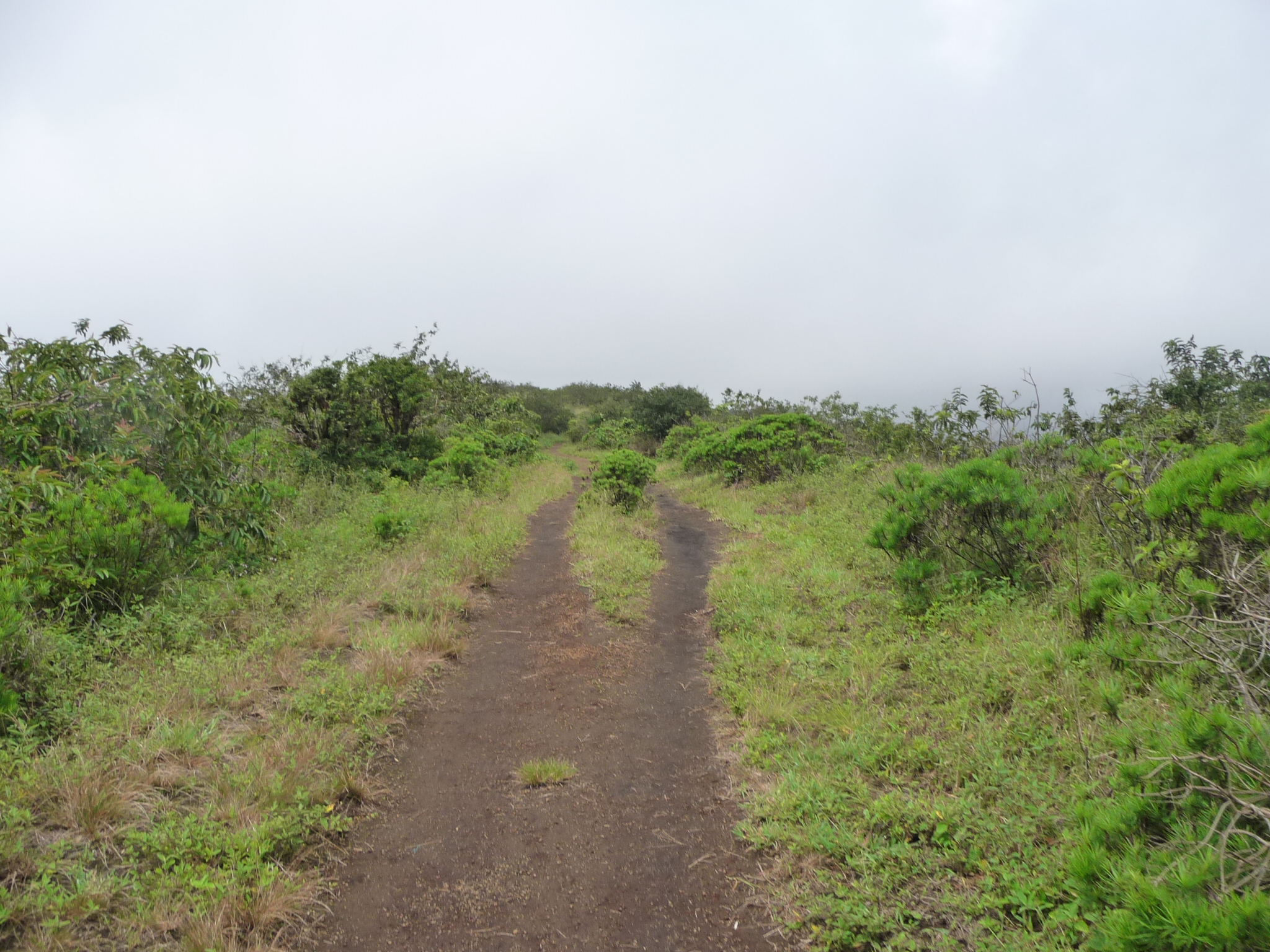
Finally, we passed the crater (never saw it) and reached trails that were more level and covered with small volcanic rock (not mud). Our guide told us that within a half hour we would have a lot more visibility.
By now I was wondering if our entire ten mile hike would simply be a hike in muddy fog. (I found out later that the hike on the previous day had been just that – fog and rain all day.)
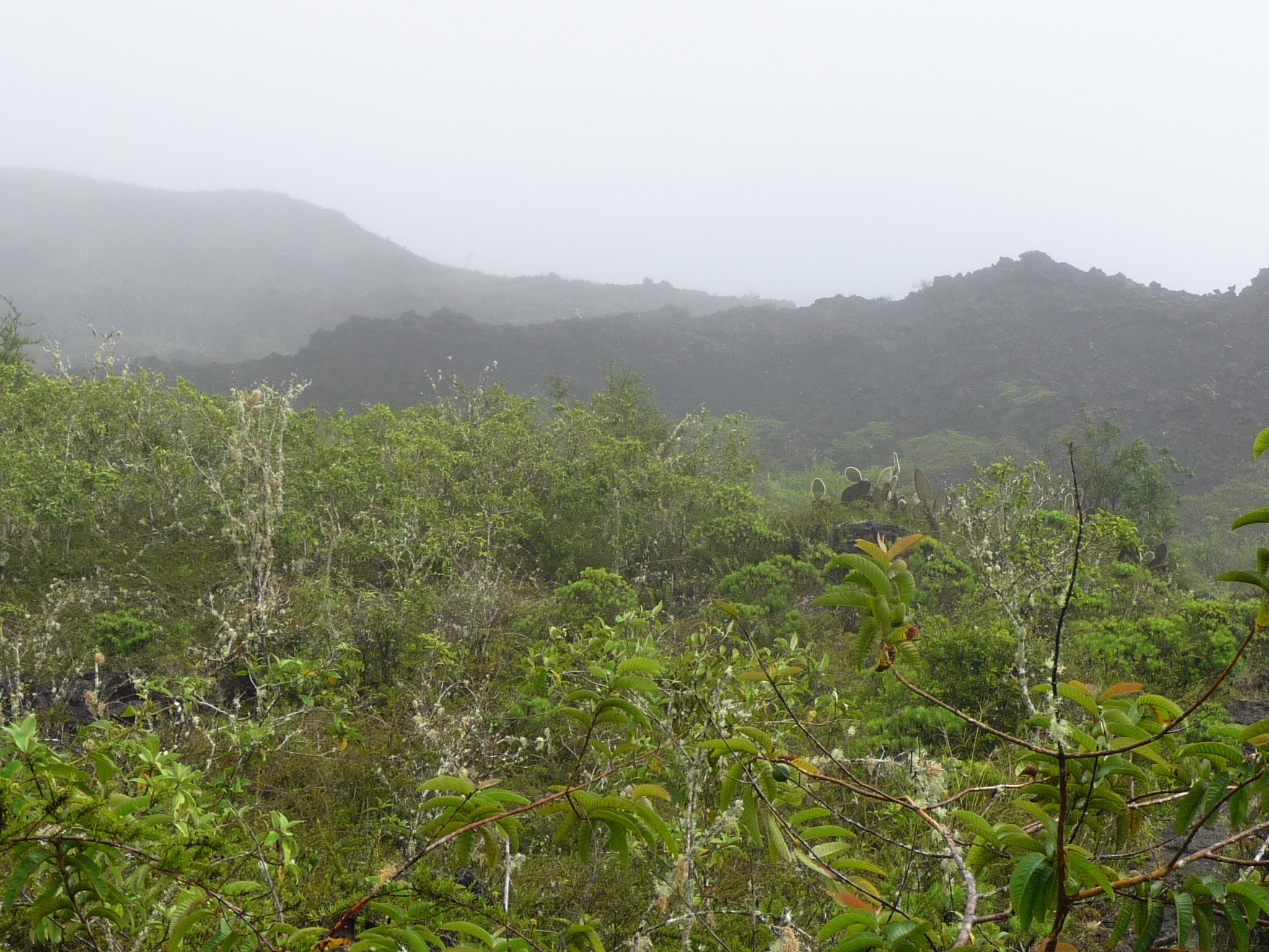
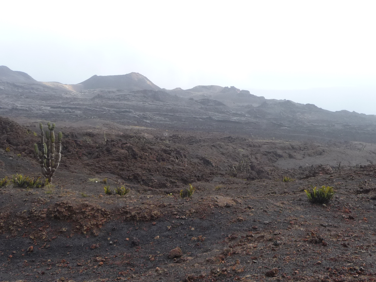
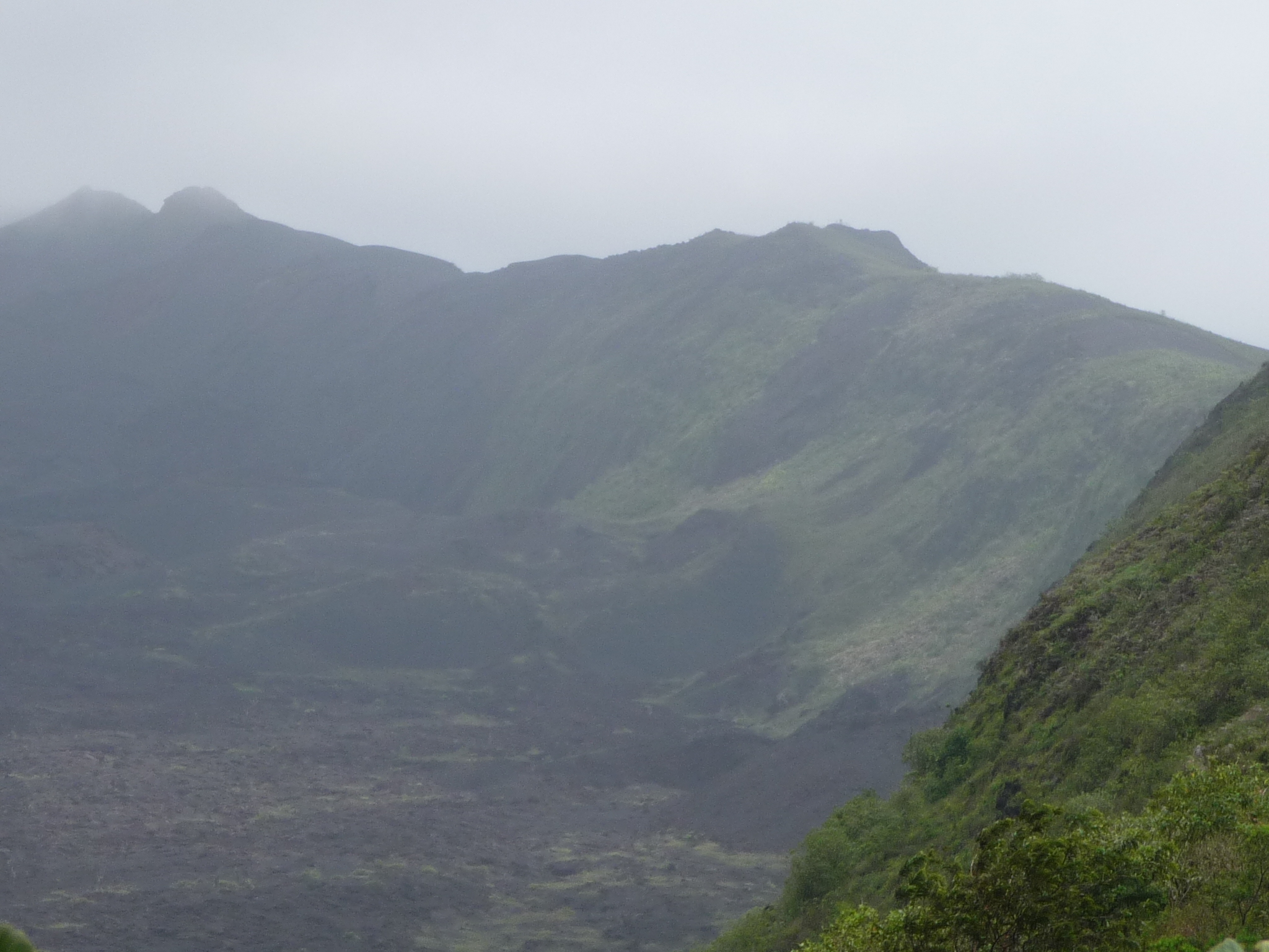
But gradually the fog began to thin. Regardless, it was a fun adventure.
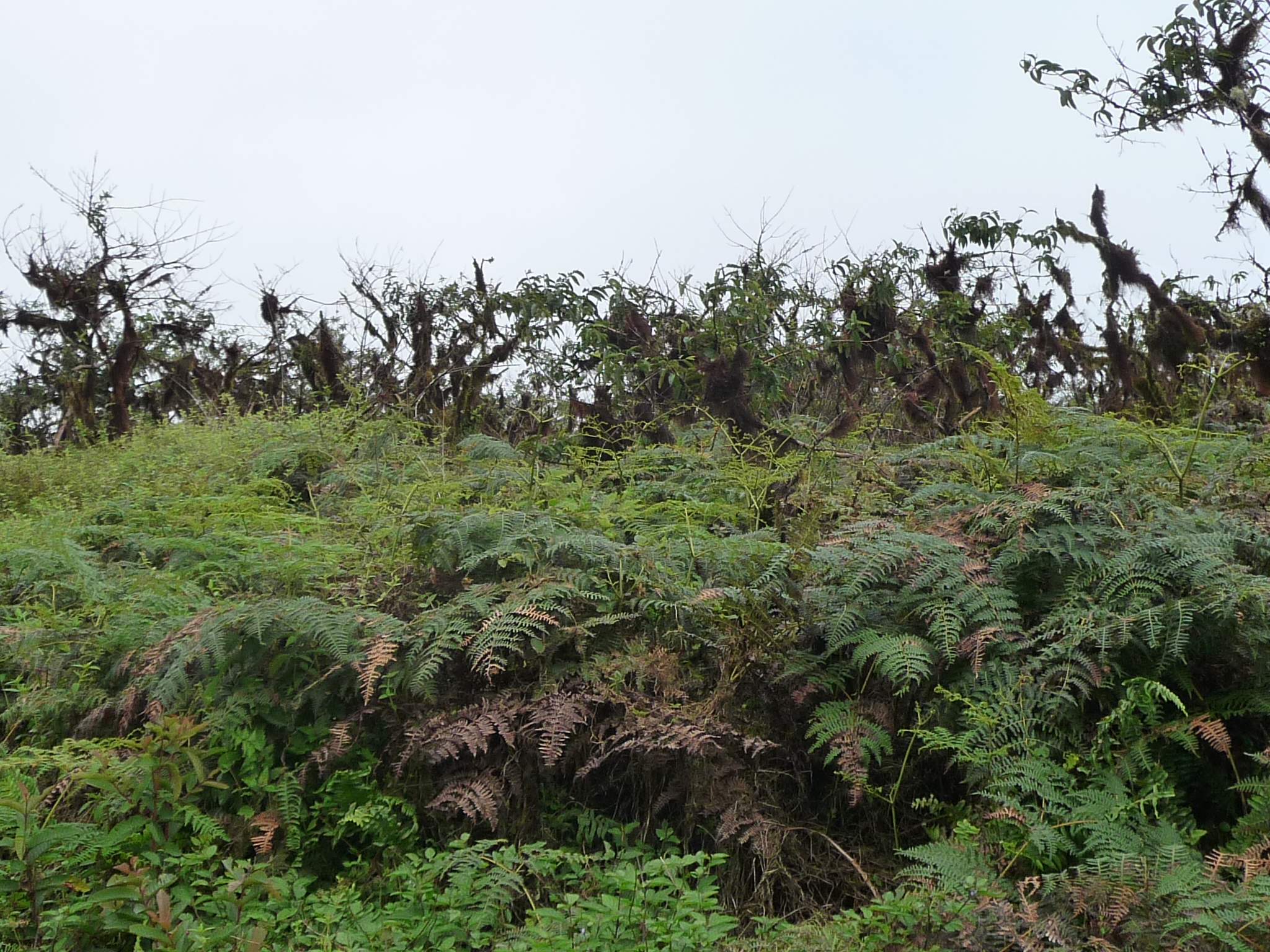
Up here at the top, the vegetation was gorgeous.
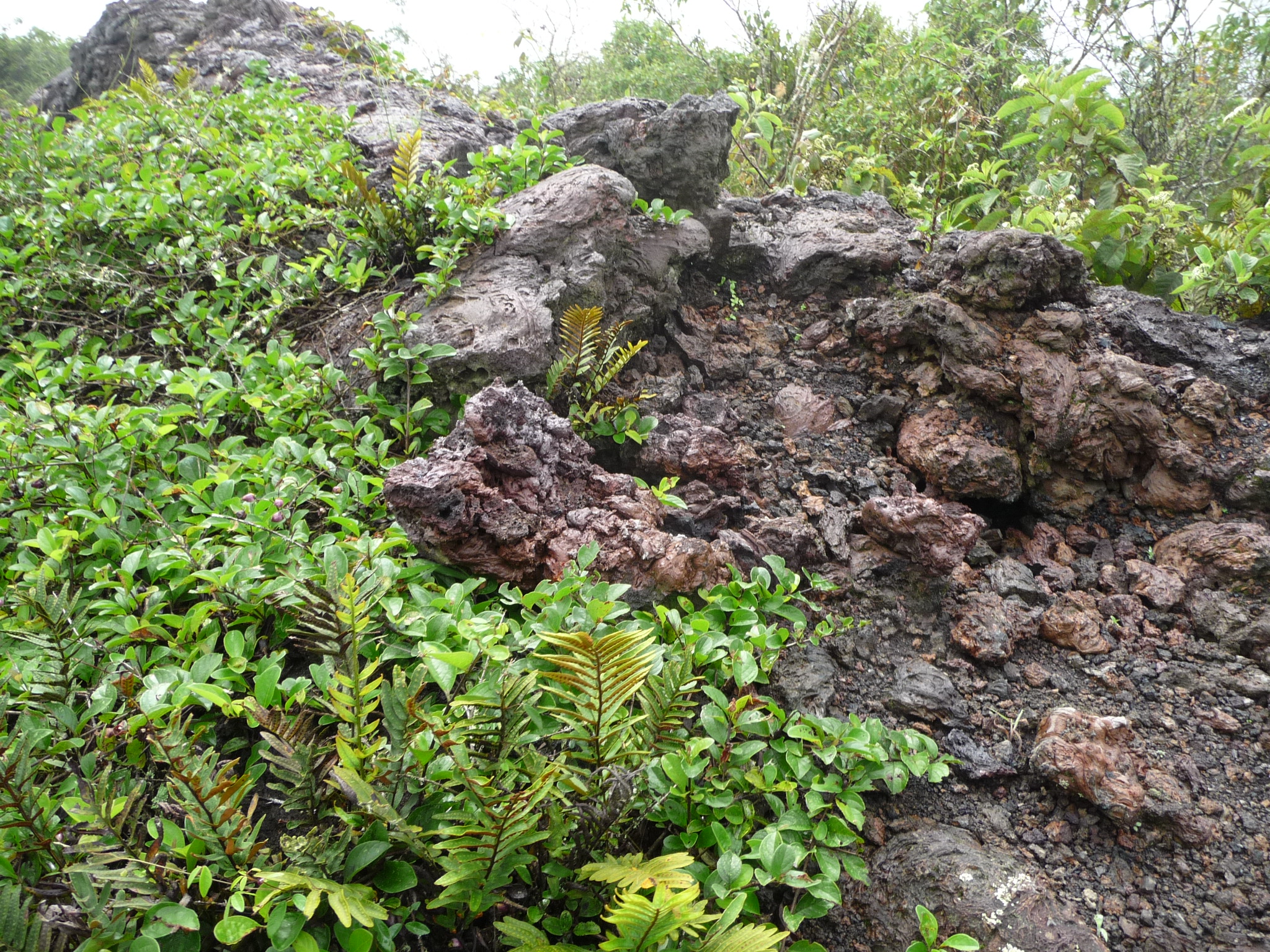
The lava rock made it even more magical.
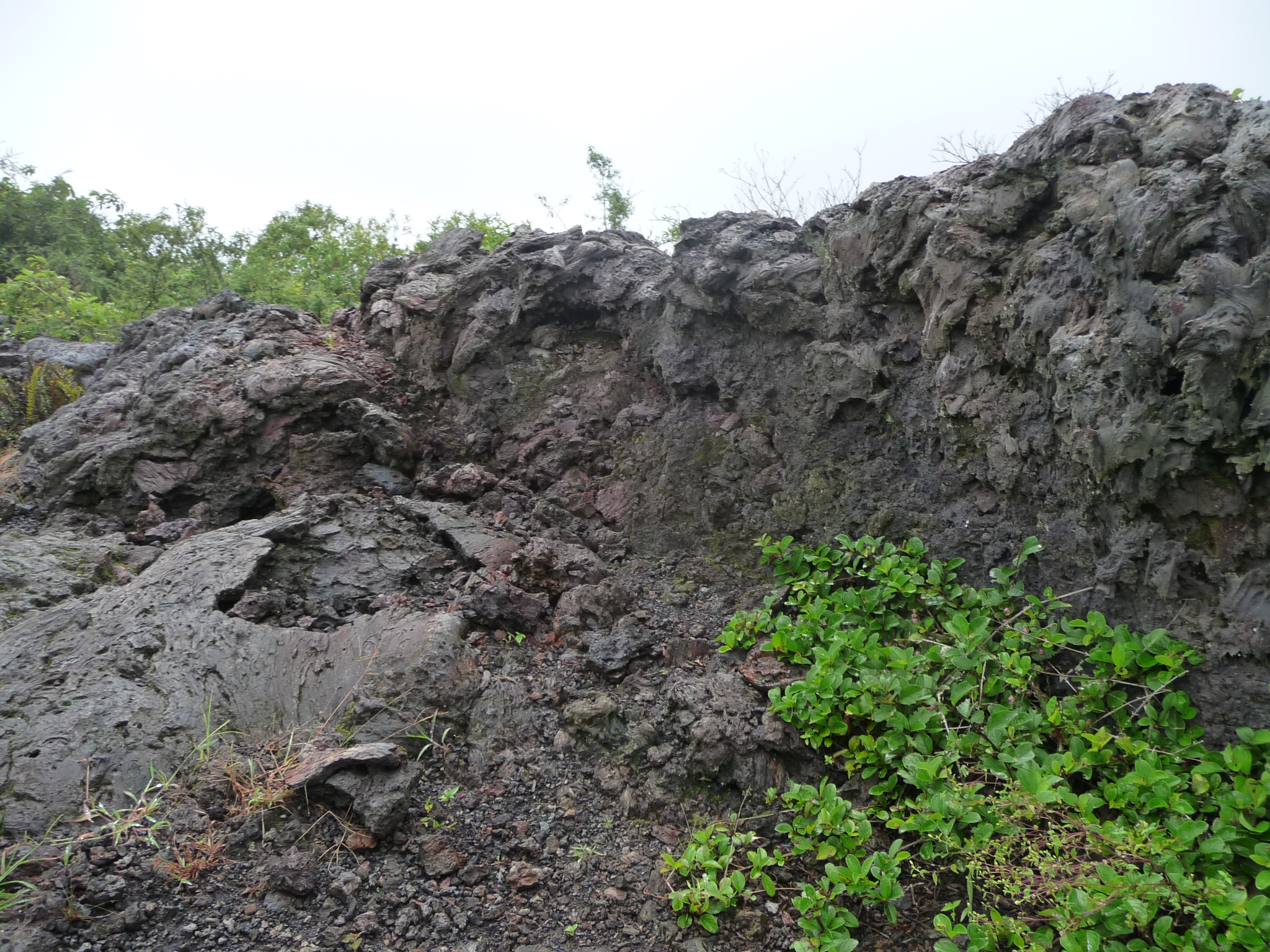
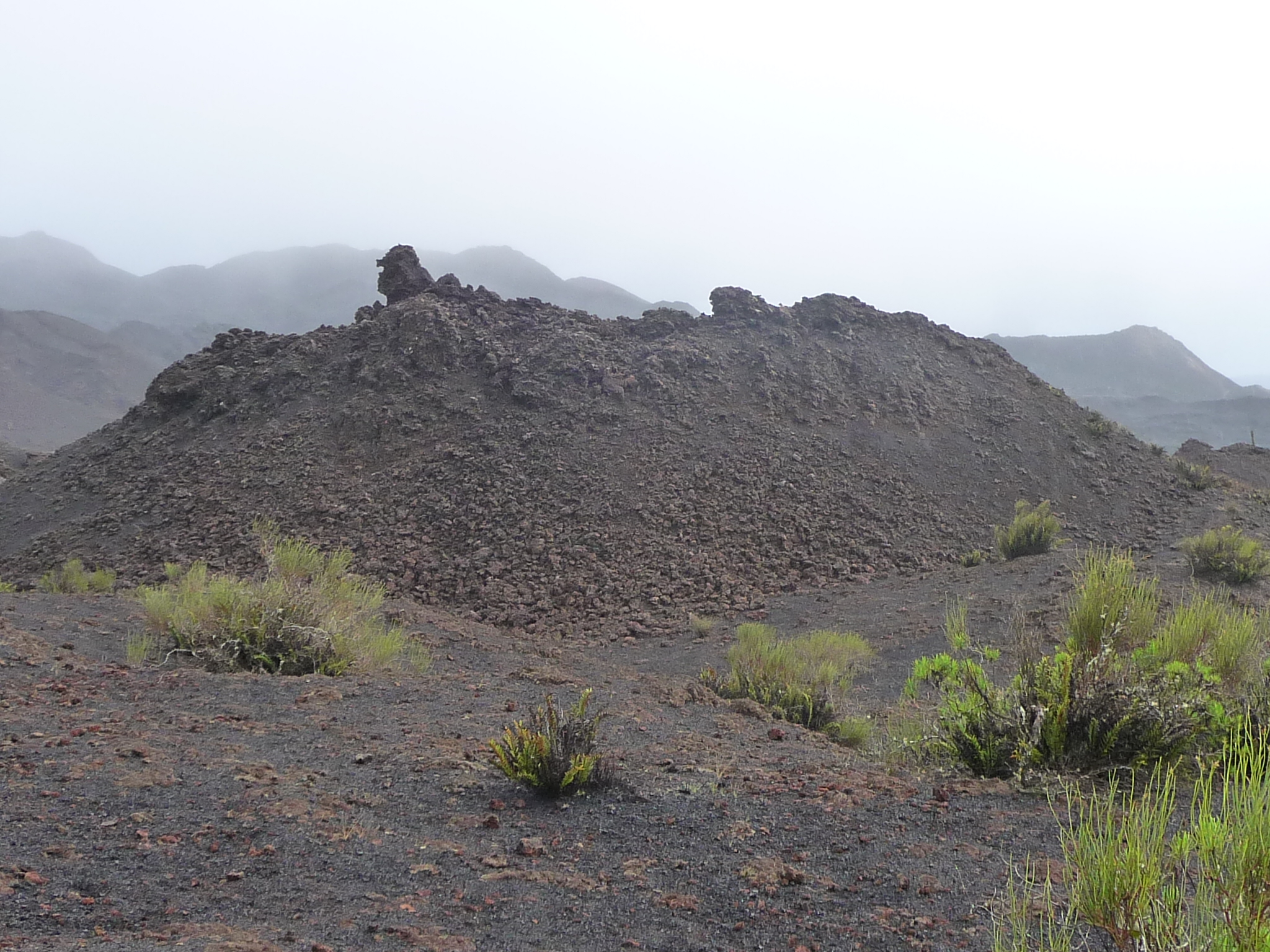
An there was indeed a LOT of lava rock here.
Gradually, we began to be able to see much further into the distance … and the vegetation began to constantly shift as we walked slightly downhill.
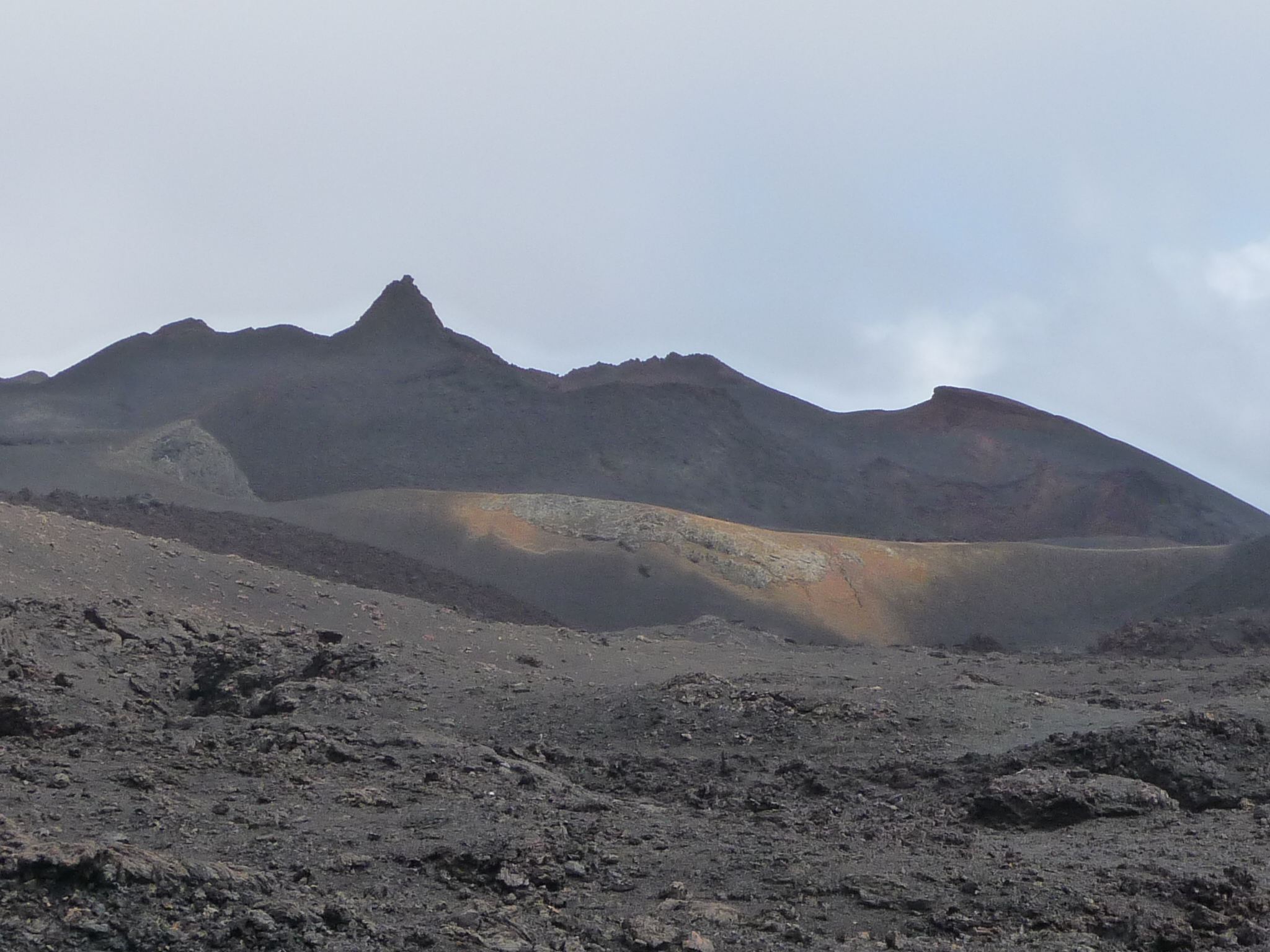
Some of the mountains that gradually began to appear.
And finally, we can even see water below in the bay (the lighter colored area across the middle part of the photo). We are coming to the north side of the lower part of Isabela Island.
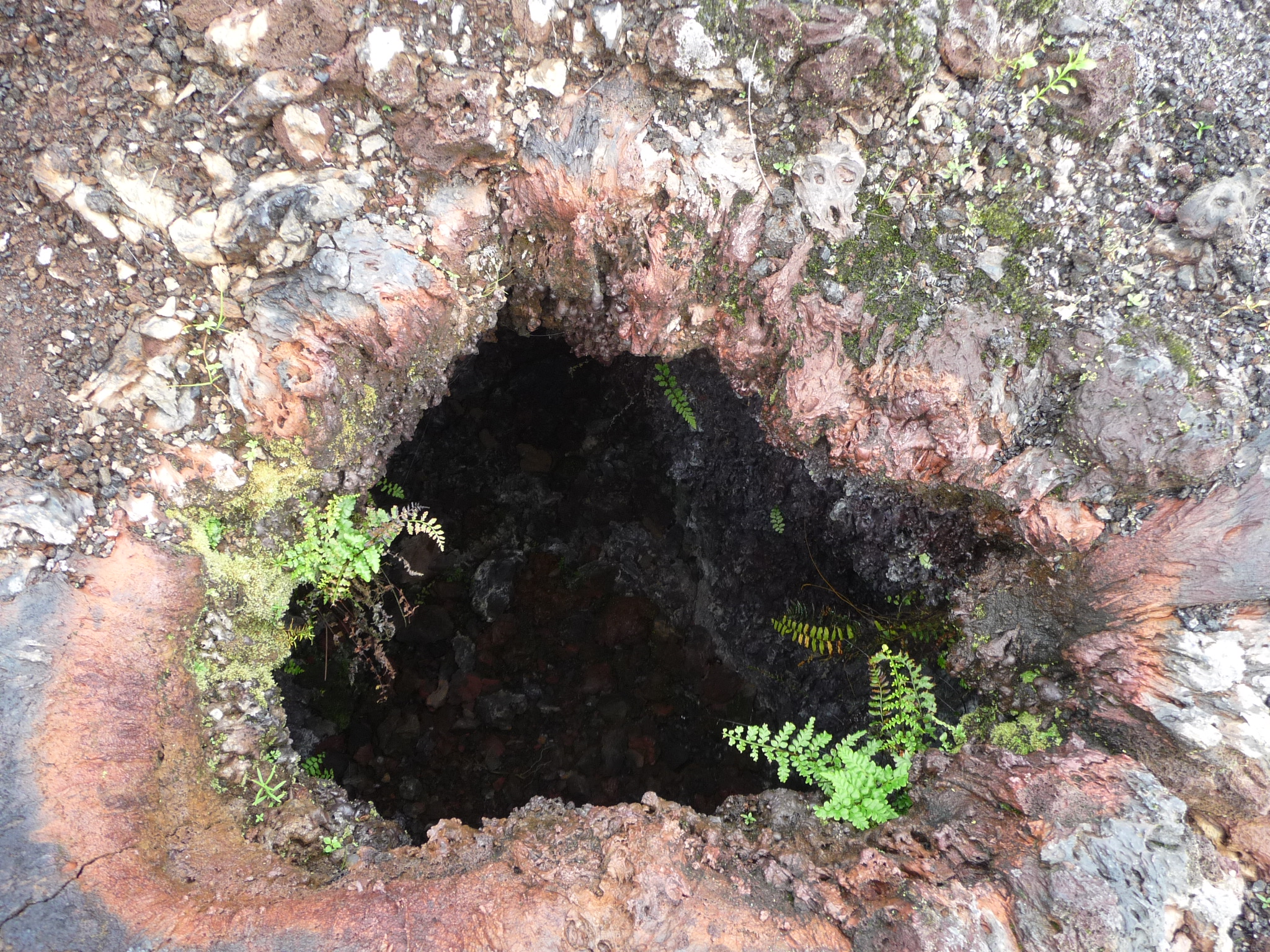
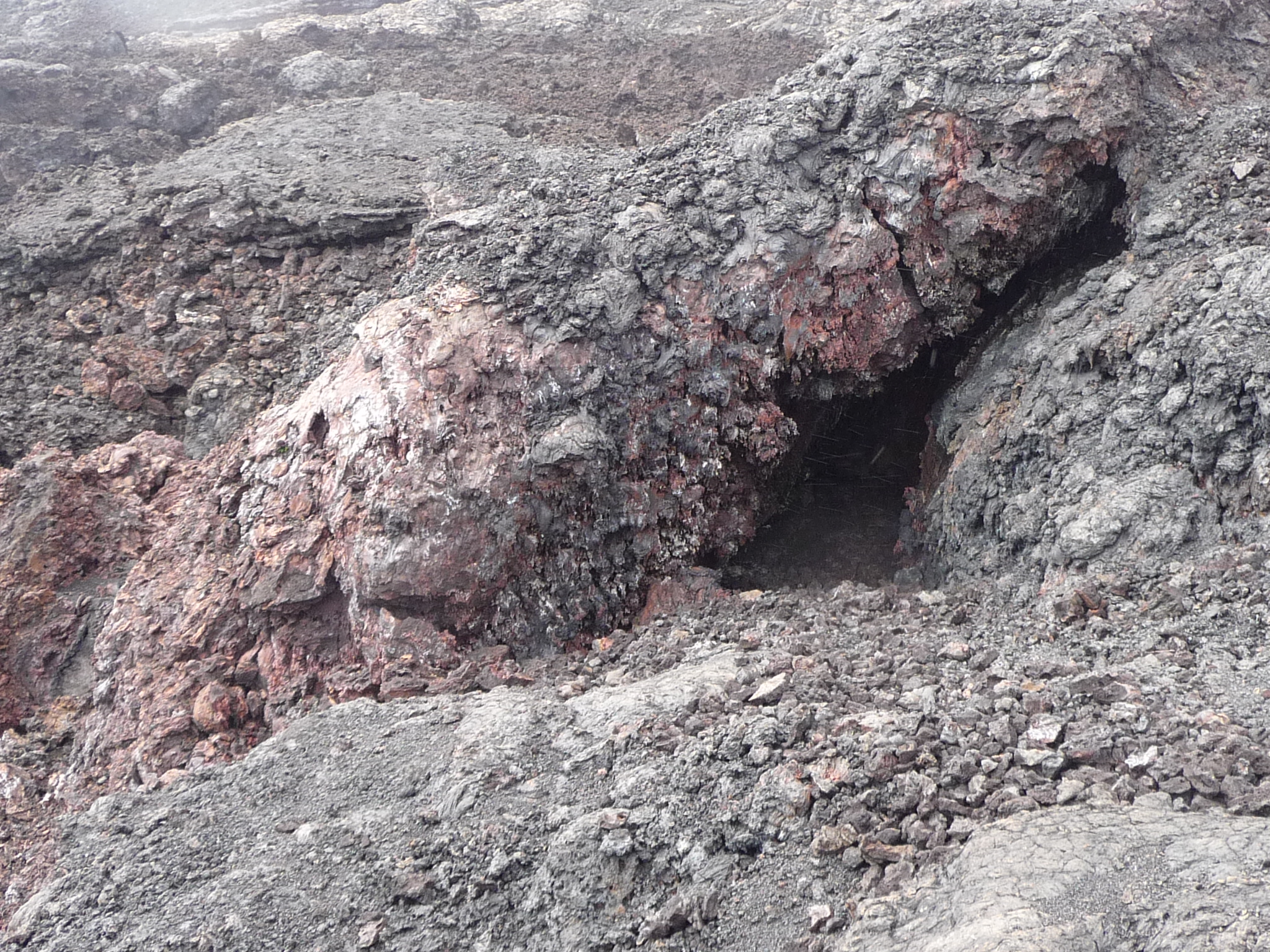
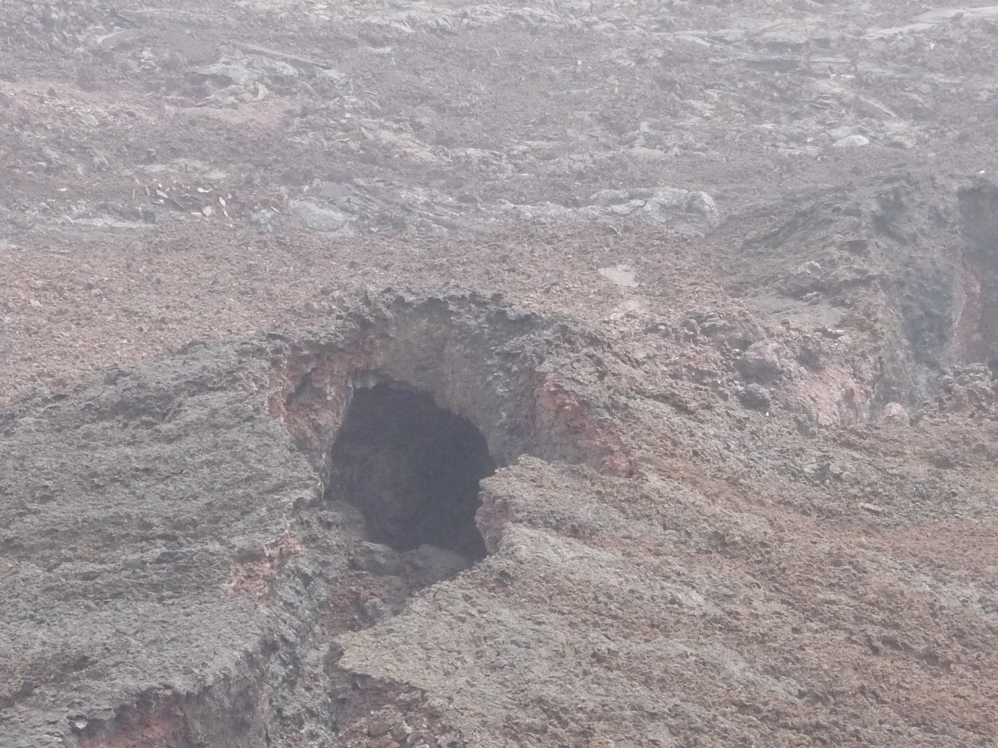
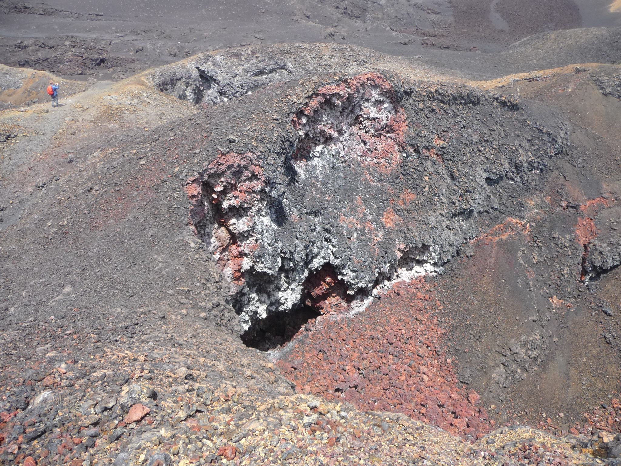
A little lava tunnel that we pass. Our guide has us put our hand into a different one to show us that there was hot air venting out of it … this area is still active.
The vegetation increasingly disappears, giving way to lava. There is almost nothing living here. I think I saw one or two lizards, but absolutely no birds, iguanas, or larger animals.
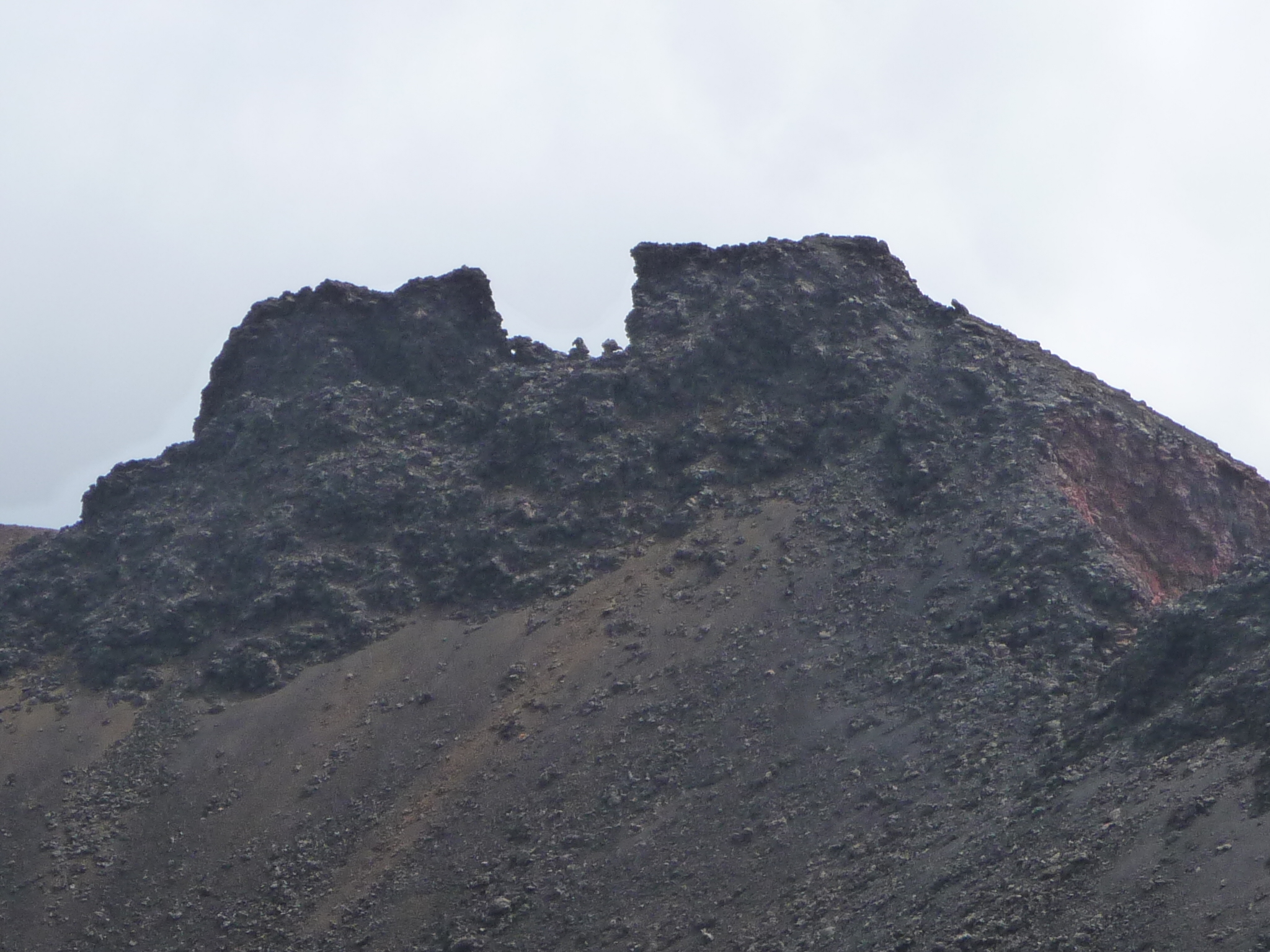
Looking off in the distance at interesting terrain.
I think the steam in this photo is just fog on my lens.
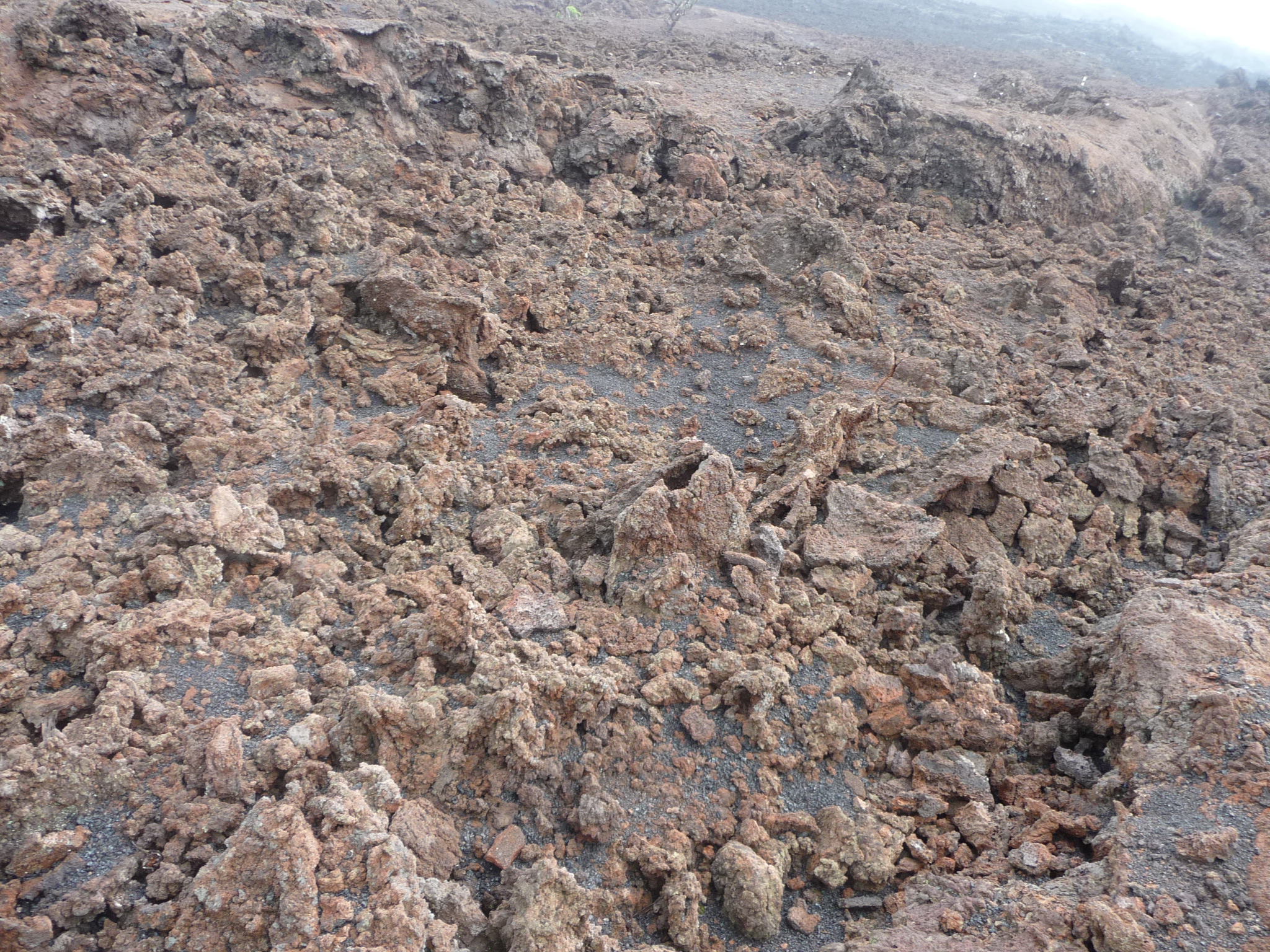
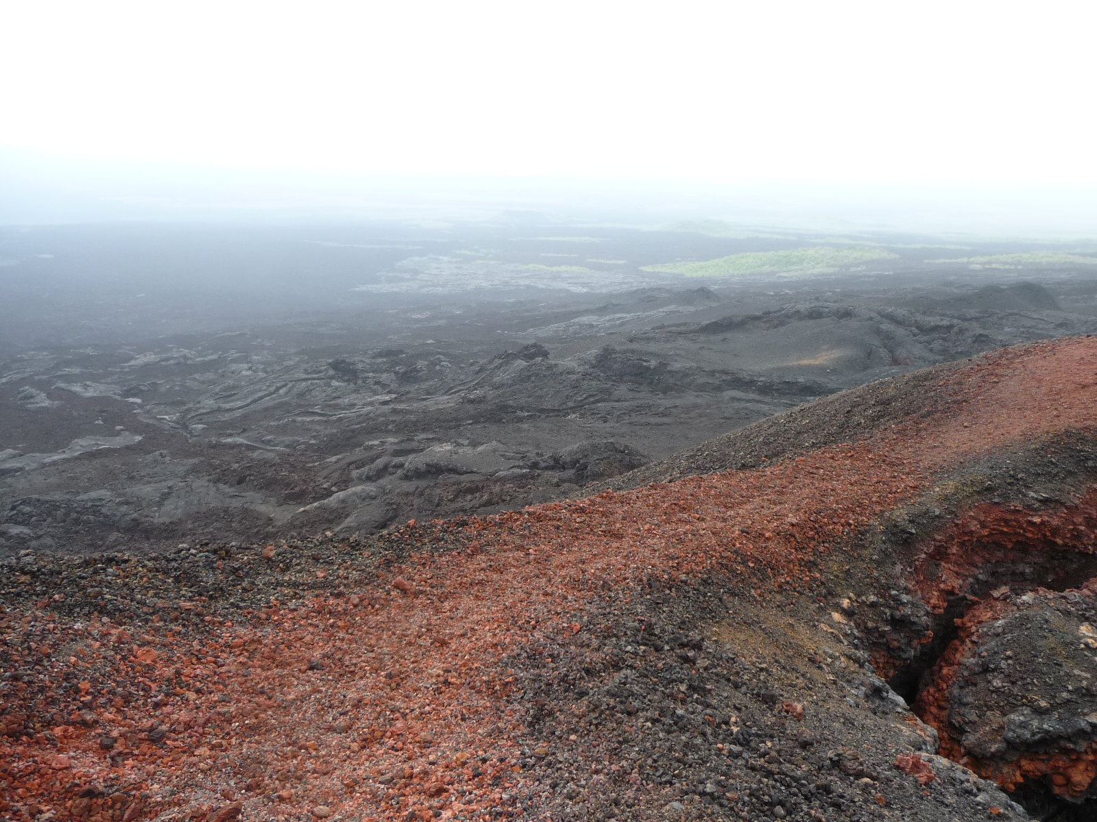
Looking off in the distance toward recent lava flows – about ten years old.
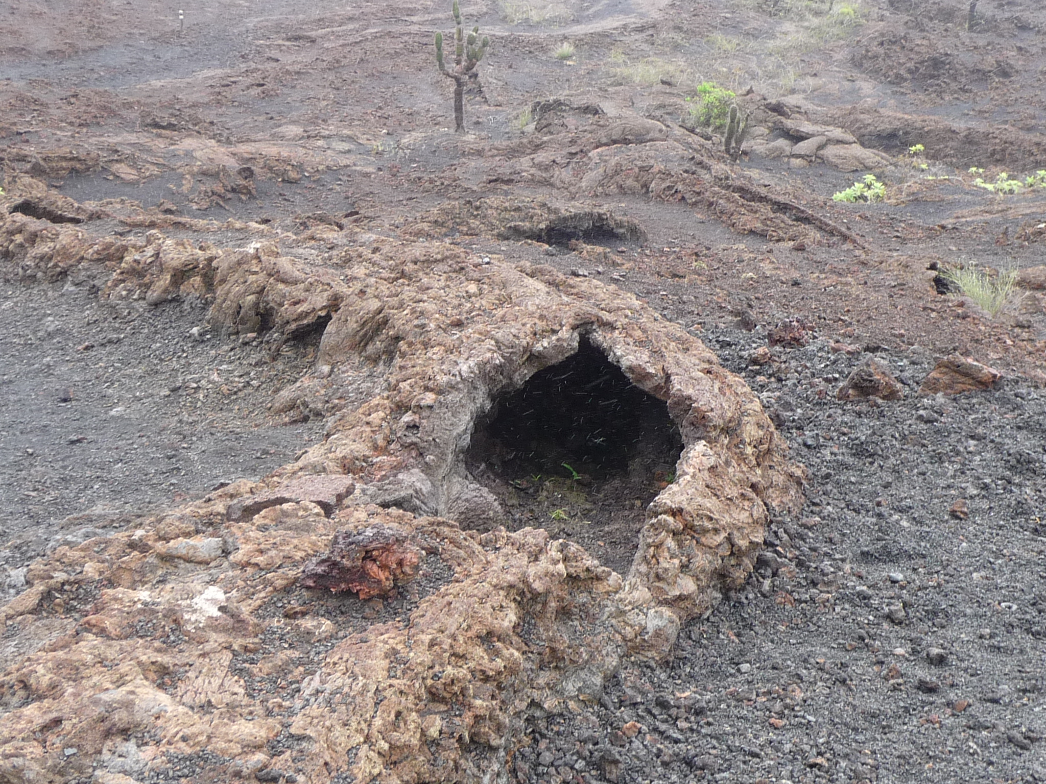
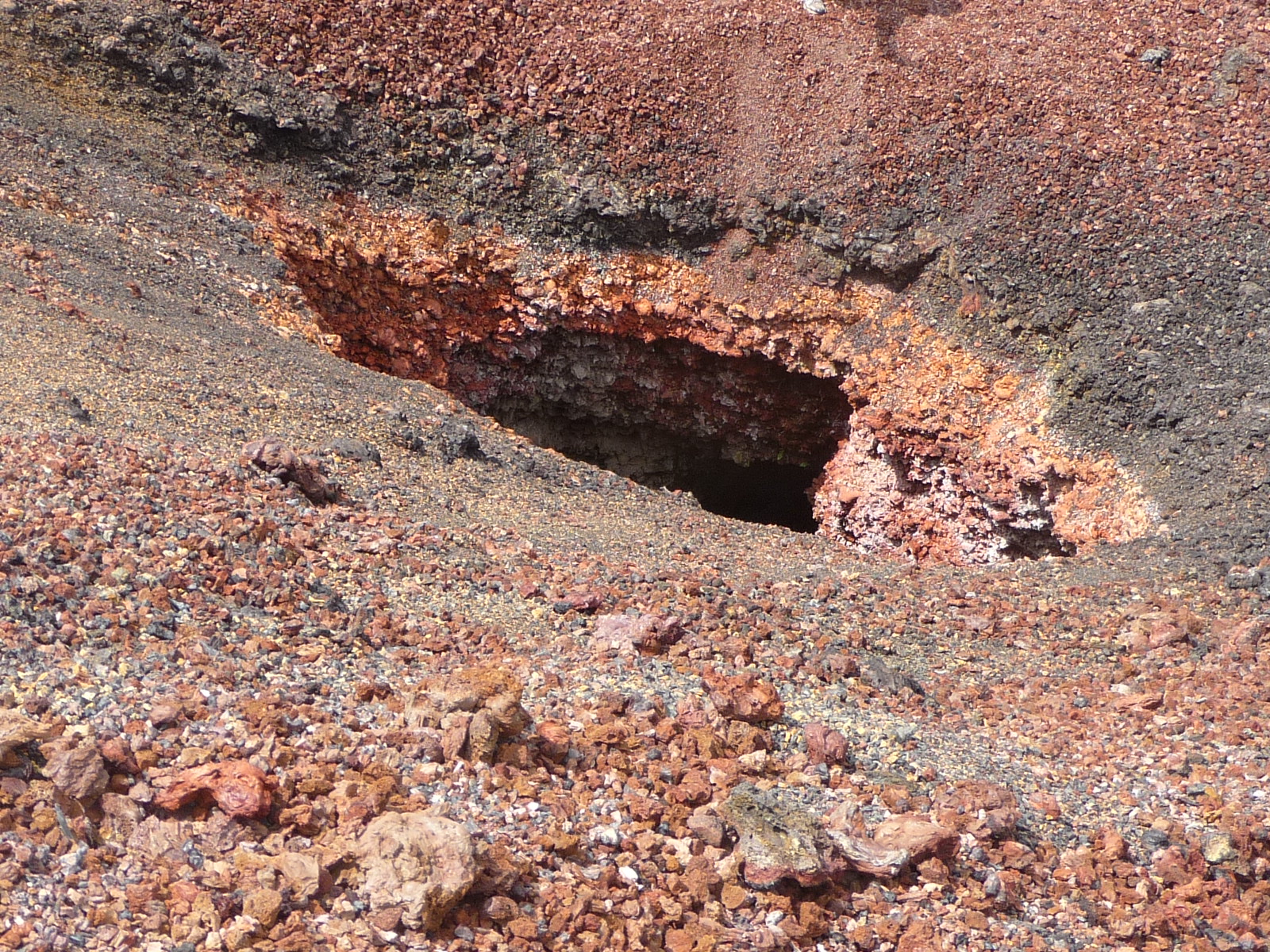
A really interesting lava tunnel that we walk over.
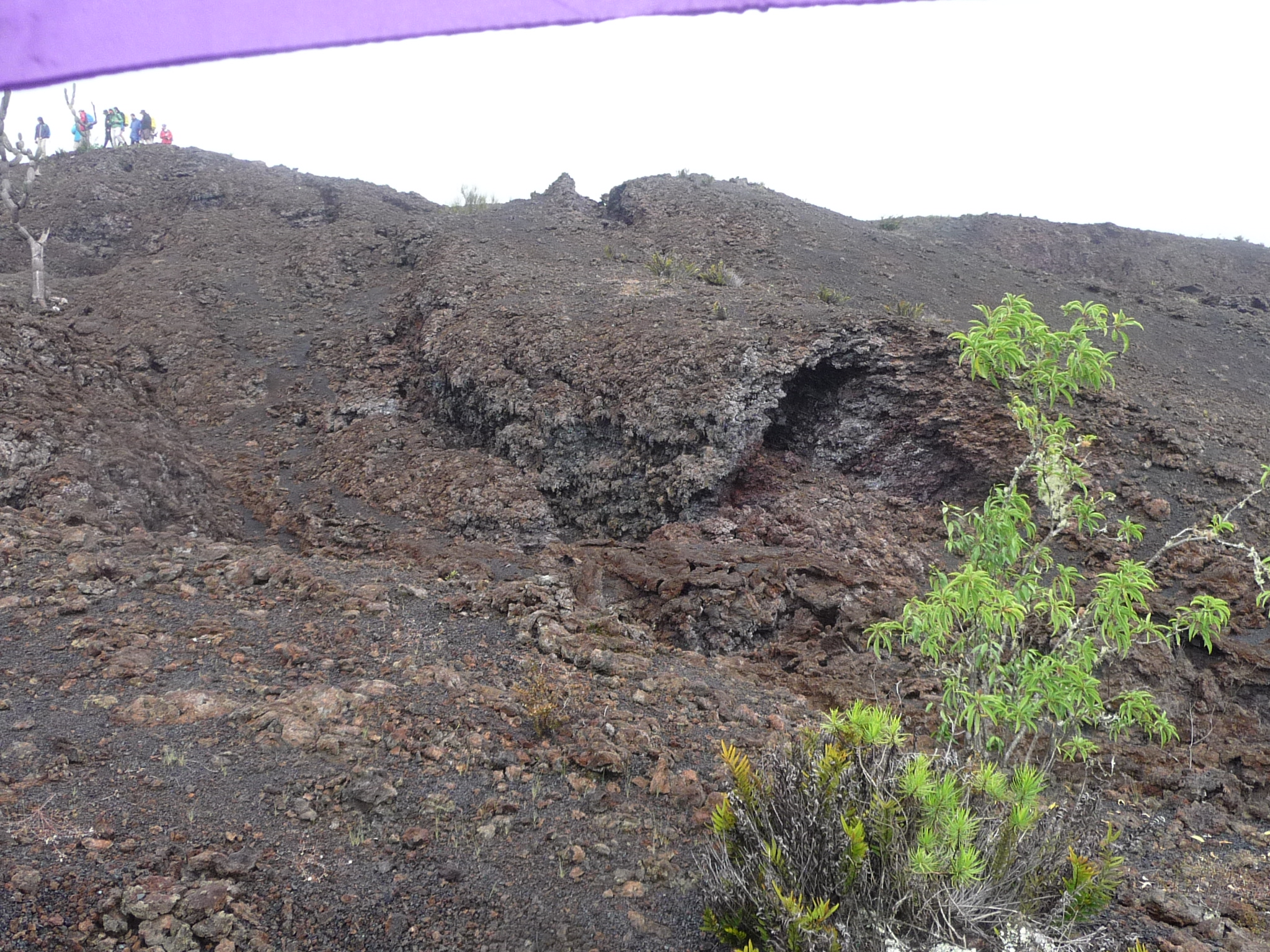
And another just a little off the trail.
The textures are getting very interesting all around me.
It feels like we are walking on Mars.
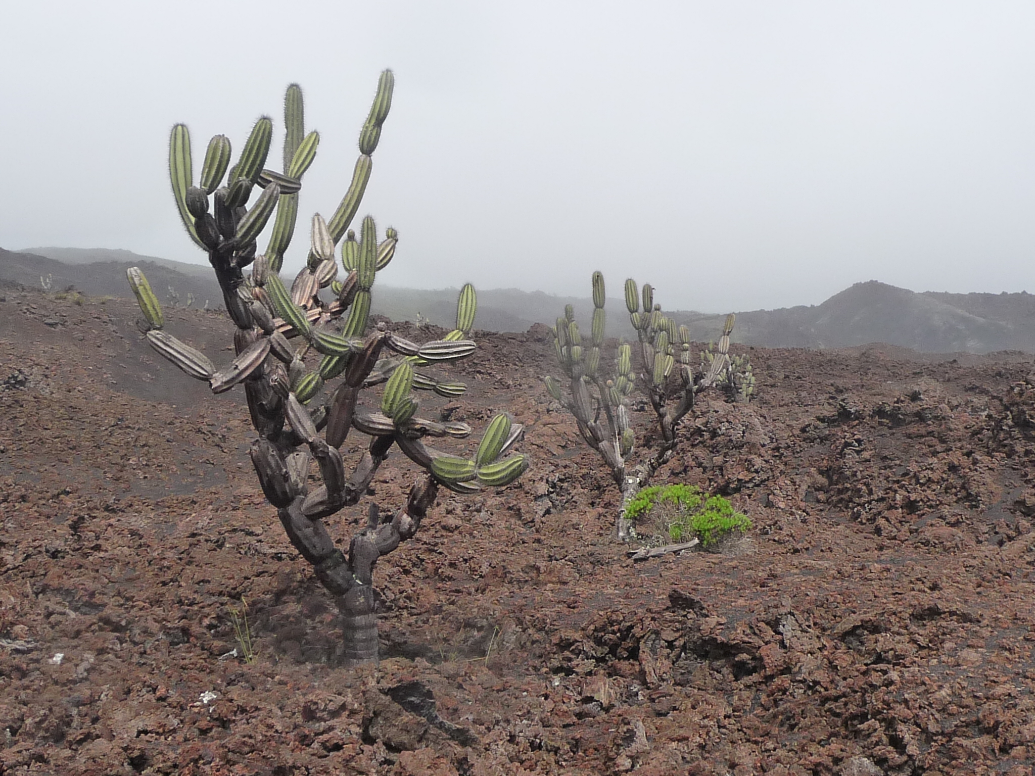
Occasionally there are still a few things growing, like these “Candelabro” cactus.
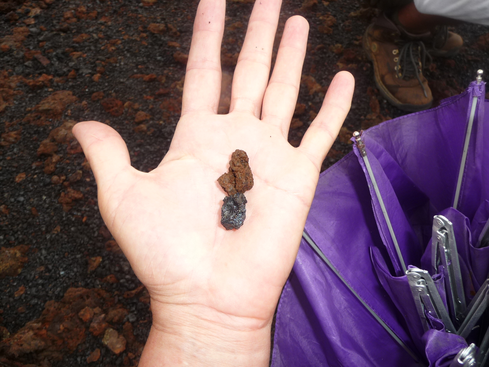
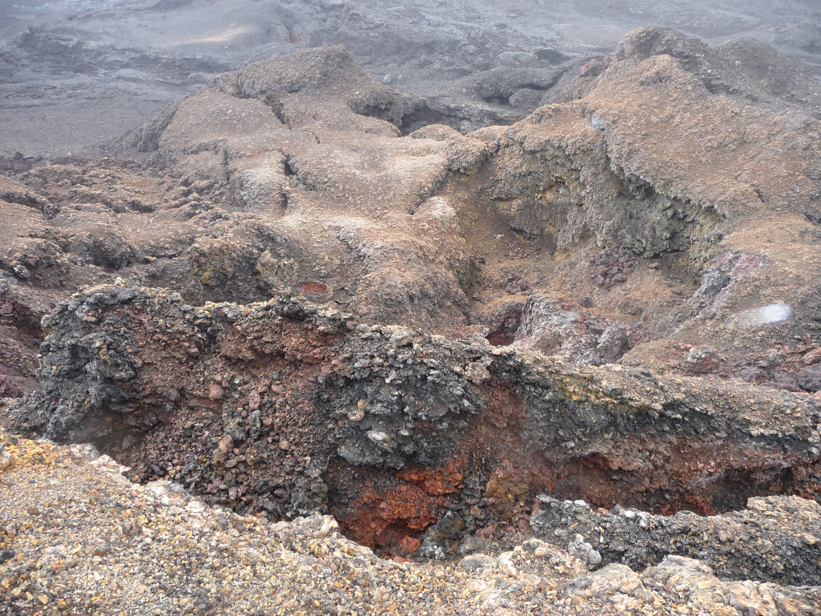
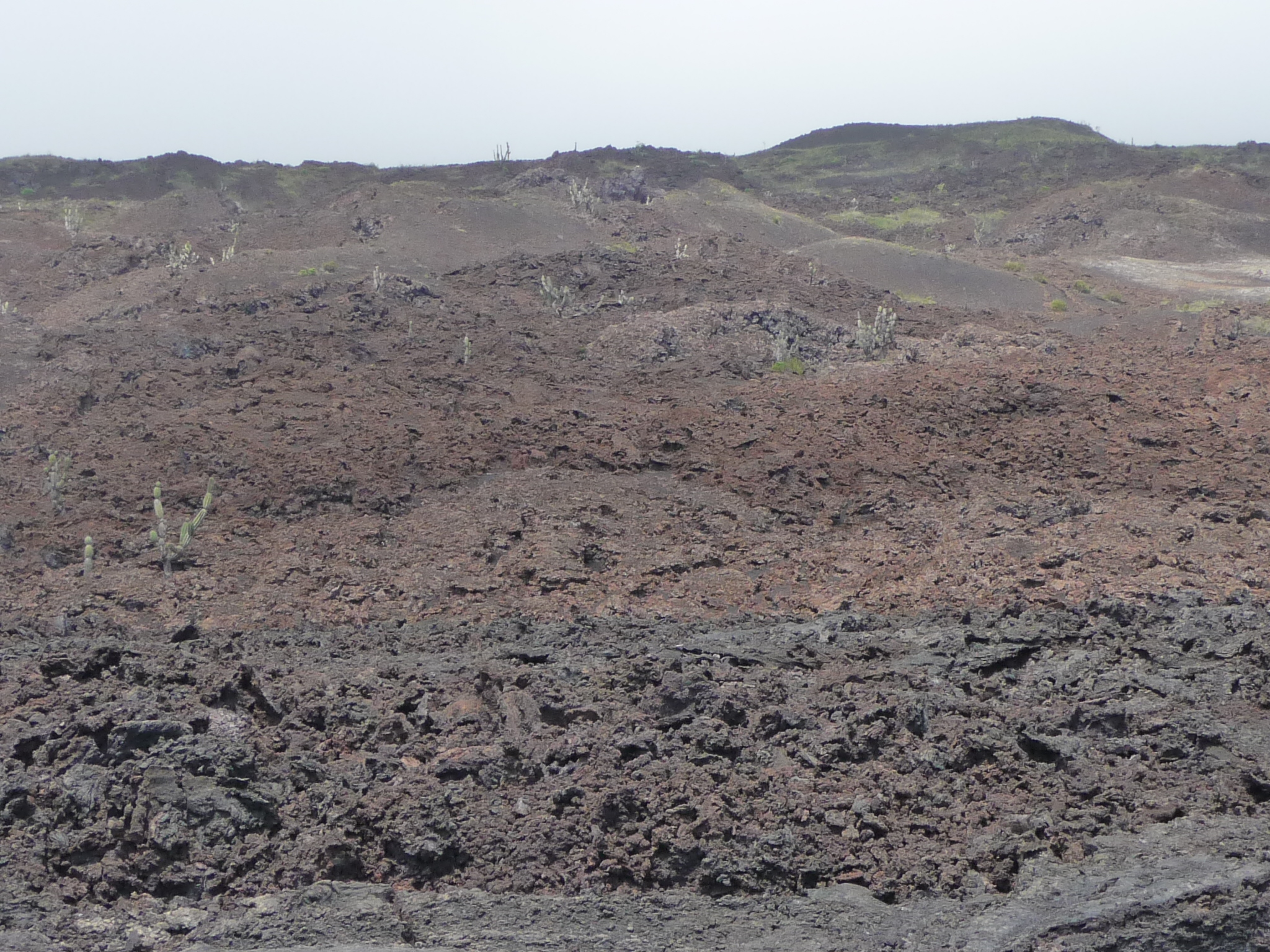
Finally, we reach the boundary between old lava flows and new ones (about ten years old). Our guide has us pick up the two colors of lava found here – one reddish and one black. The reddish one has an iron content, and is old enough that it has started to rust. The black is similar, but too new to have rusted yet.
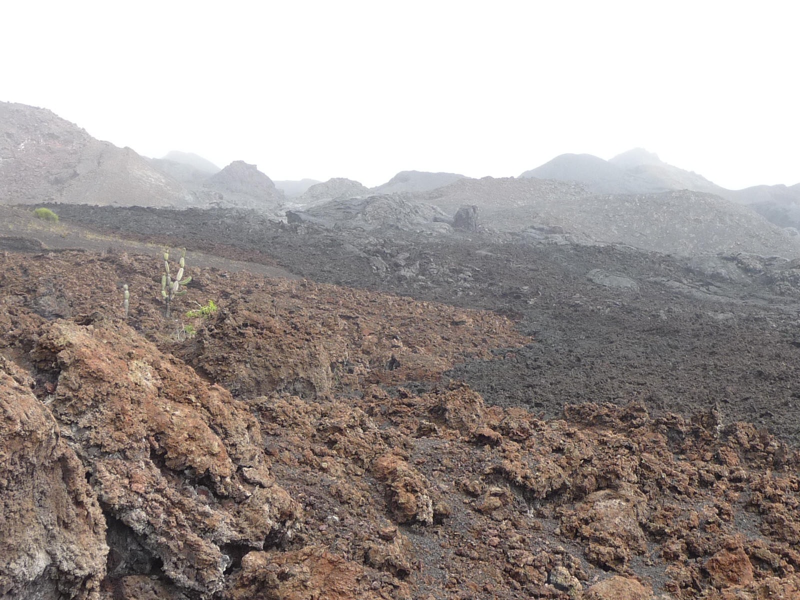
If you look closely you can see the boundary between the reddish lava and the black lava. The reddish is on the near side, and the black in the distance.
I think the black flowed down in 2005.
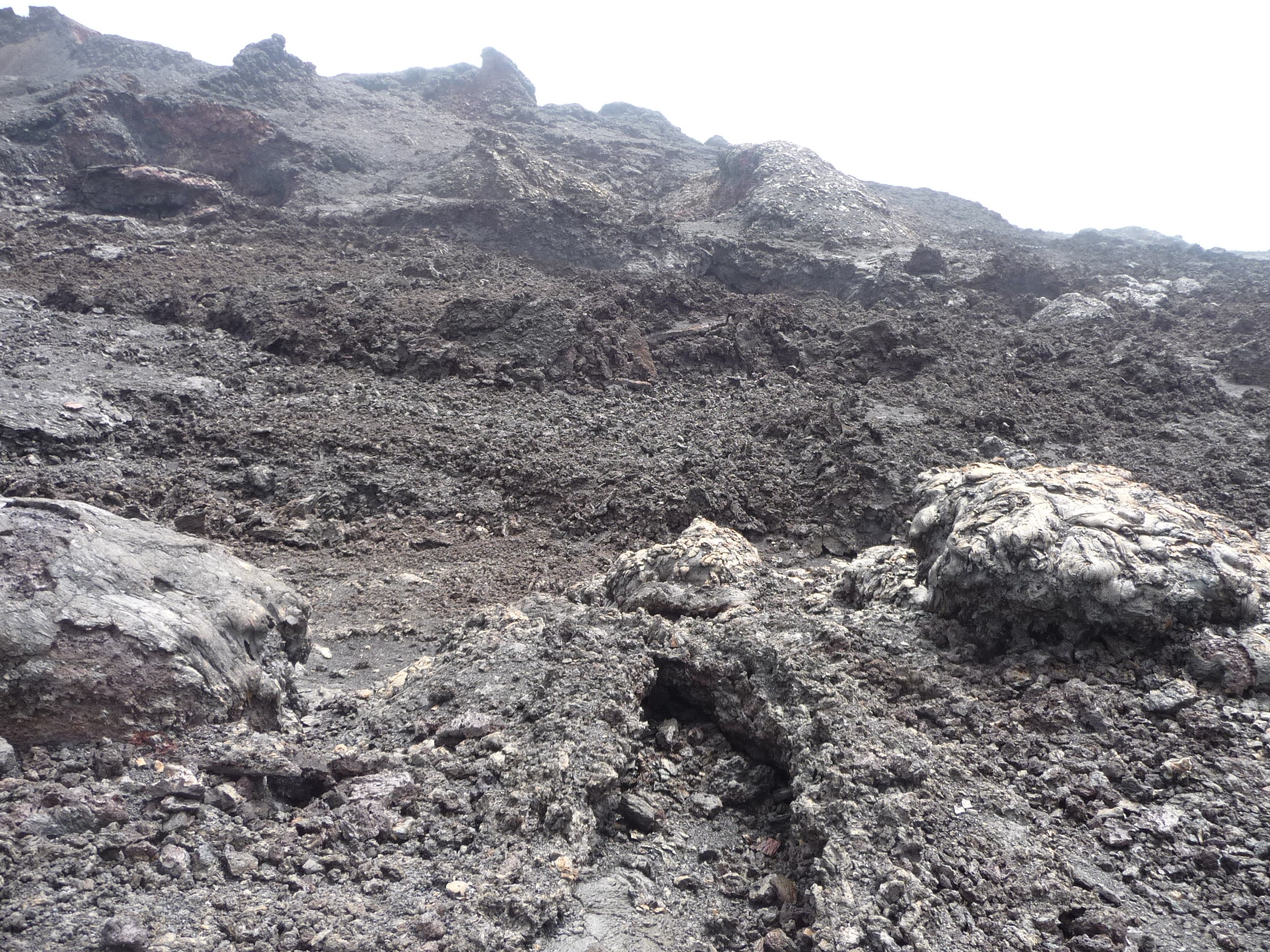
Now stepping into the black area. As you can see, there is absolutely nothing growing here. It is too new, and there has not been time for any erosion to create soil that can support life.
More beautiful, very black lava with fascinating textures and patterns. You really ought to click to enlarge these photos if you want to see detail.
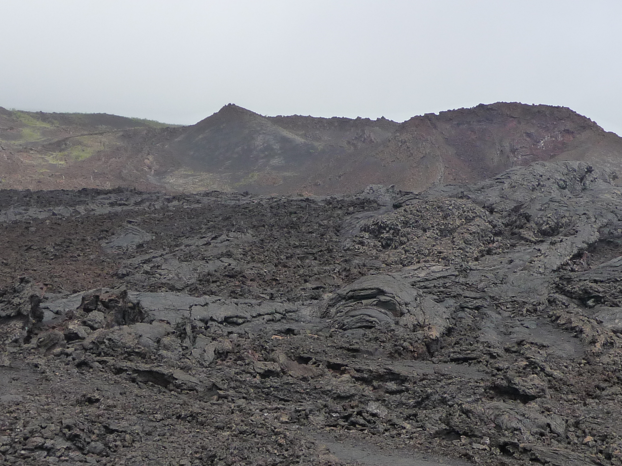
We are approaching the “Volcan Chico” (Small Volcano) area – a small volcano that erupted more recently.
Fascinating terrain – literally like a different planet.
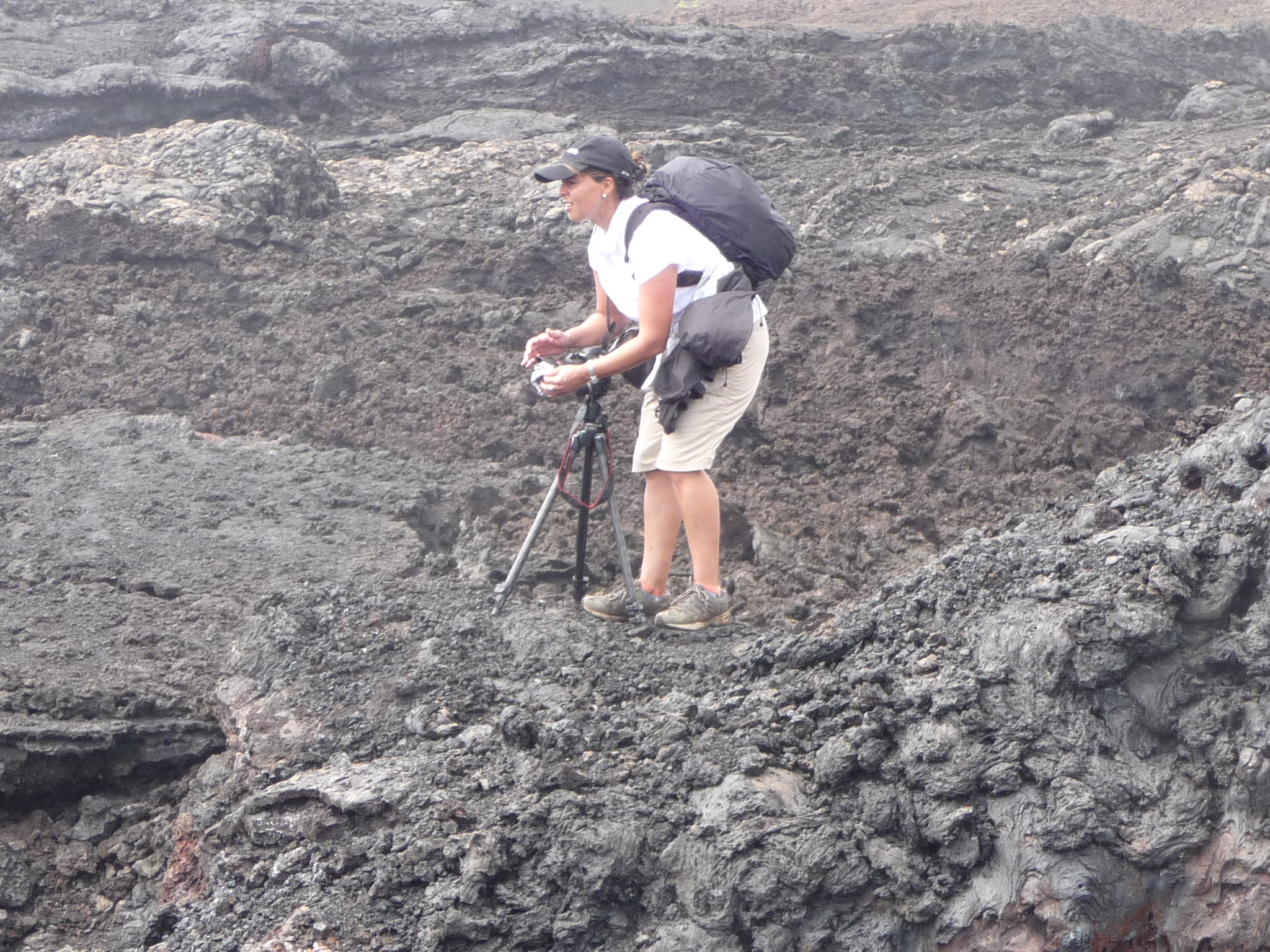
This woman from chili was part of our group. She was a professional photographer that had all the best equipment, and kept hanging behind in her attempt to find the best photos.
Looking over the black lava at distant ridges.
This formation catches my fancy. I didn’t know it was right by Volcan Chico.
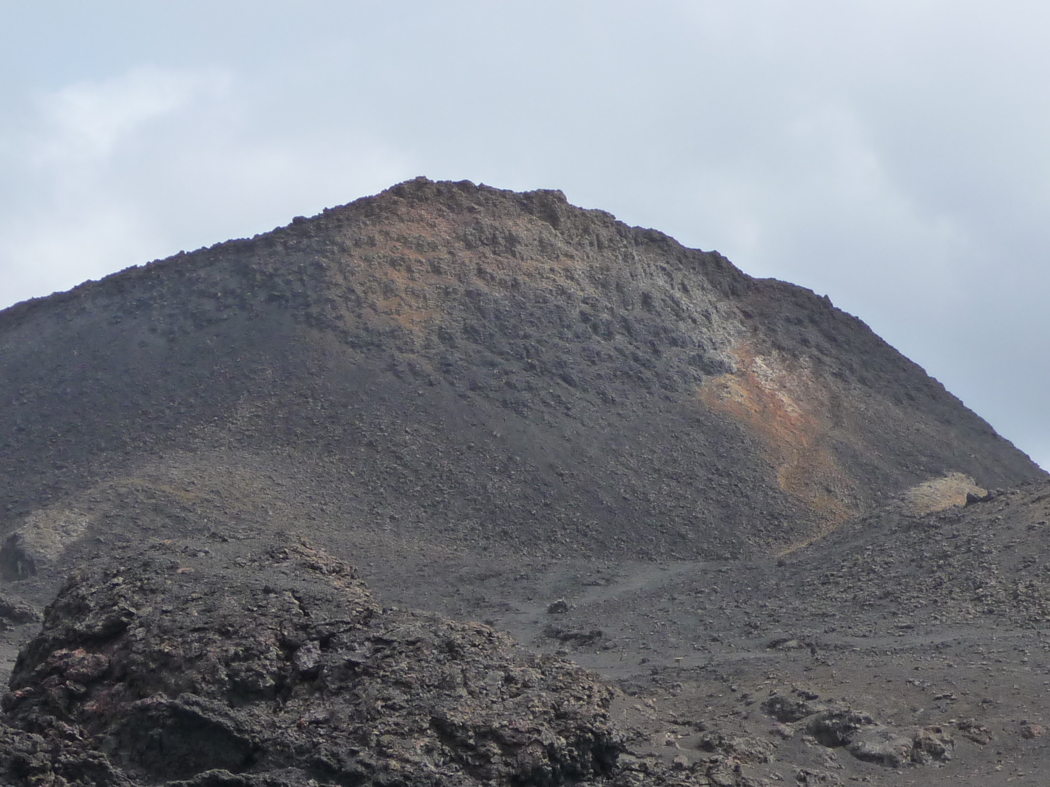
More of the mountain in the distance, with some foreground of fresh, black lava.
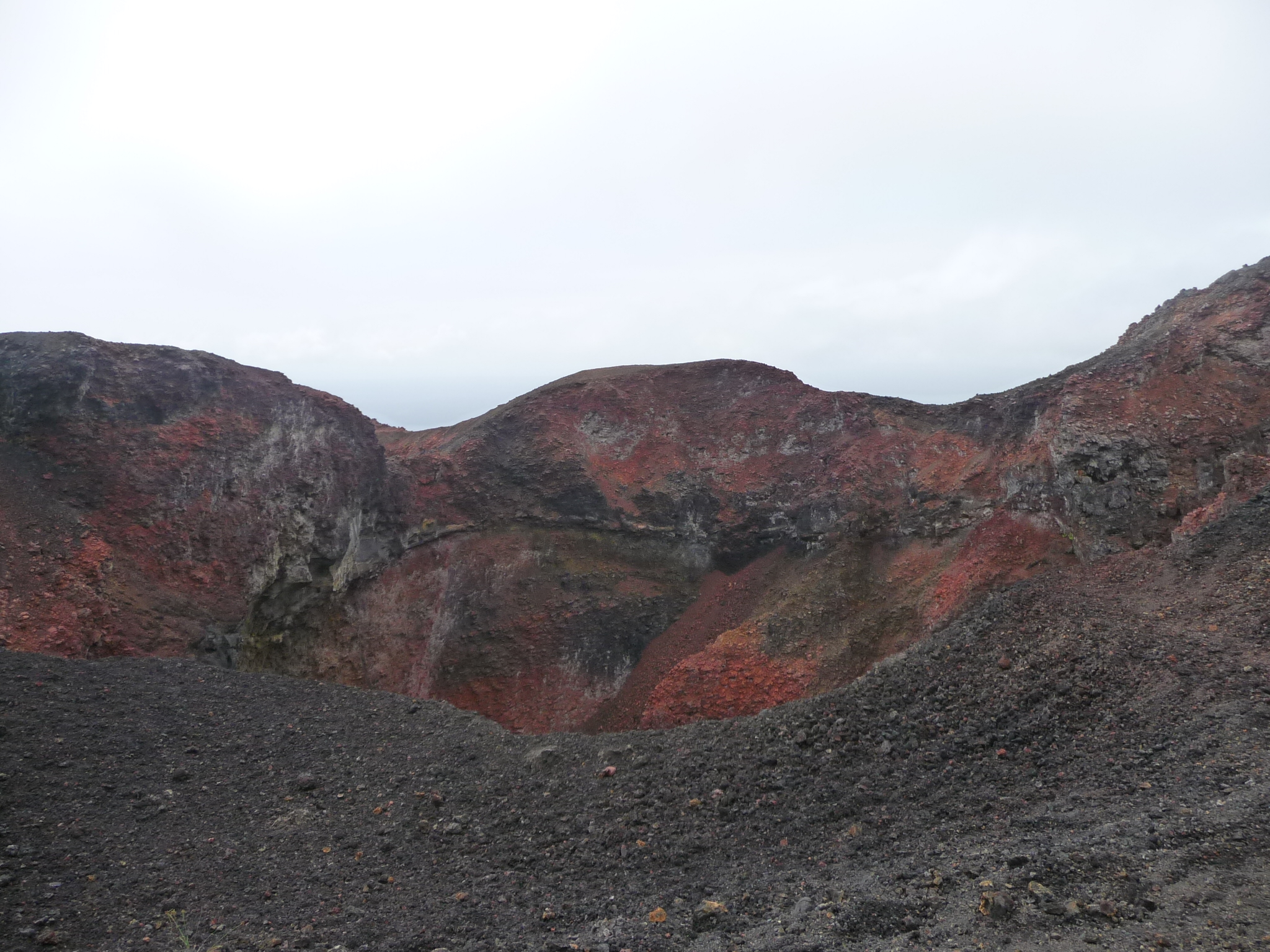
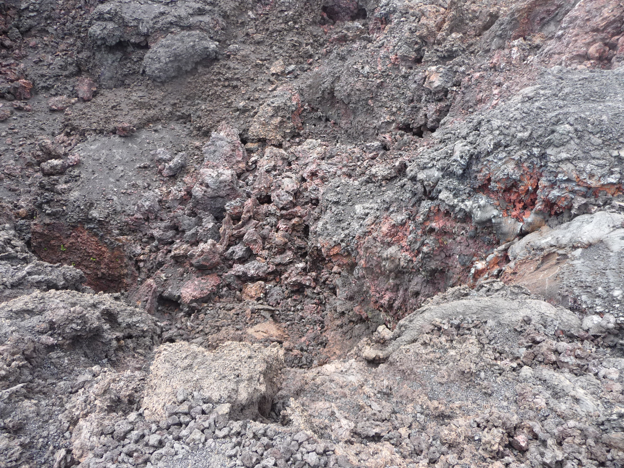
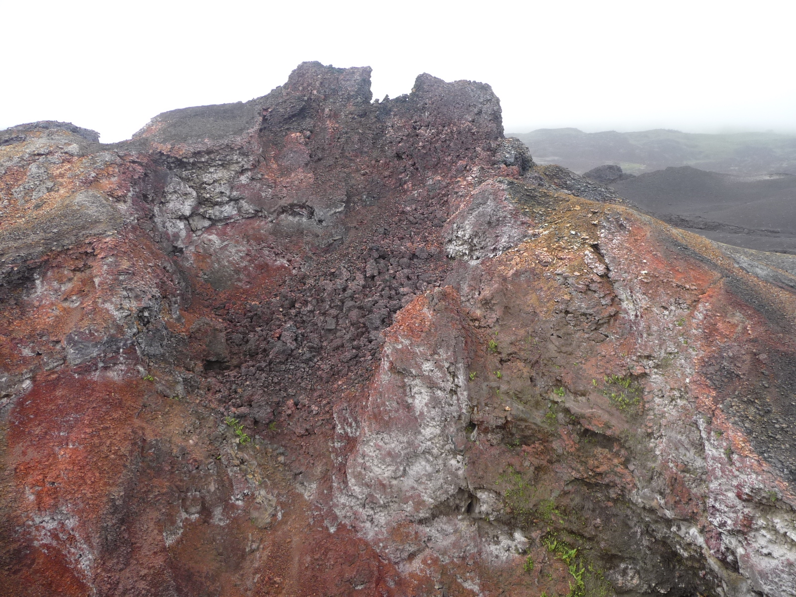
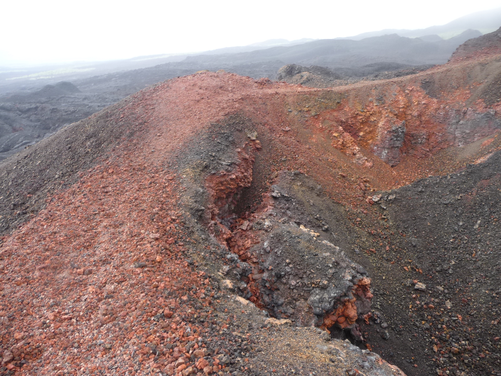
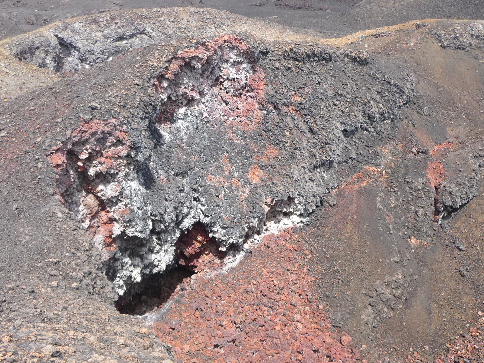
Approaching the colorful crater of “Volcan Chico”.
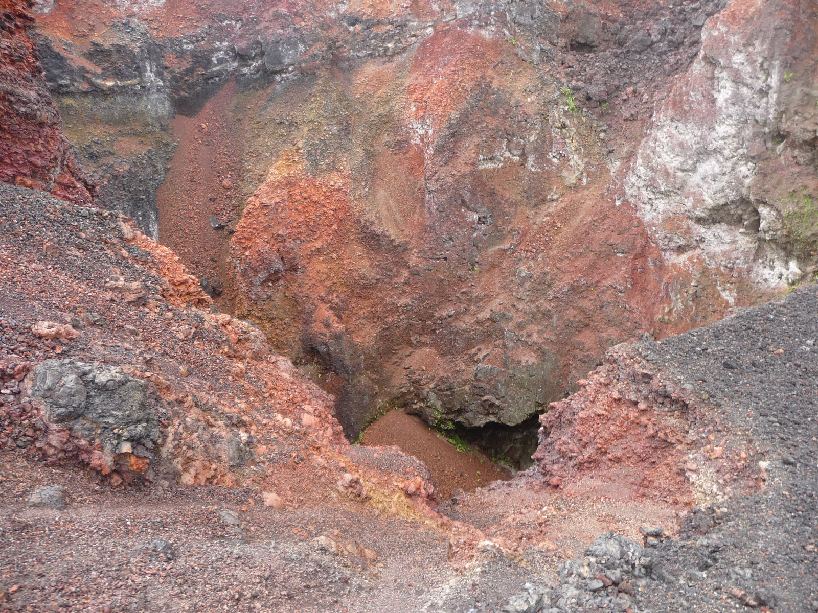
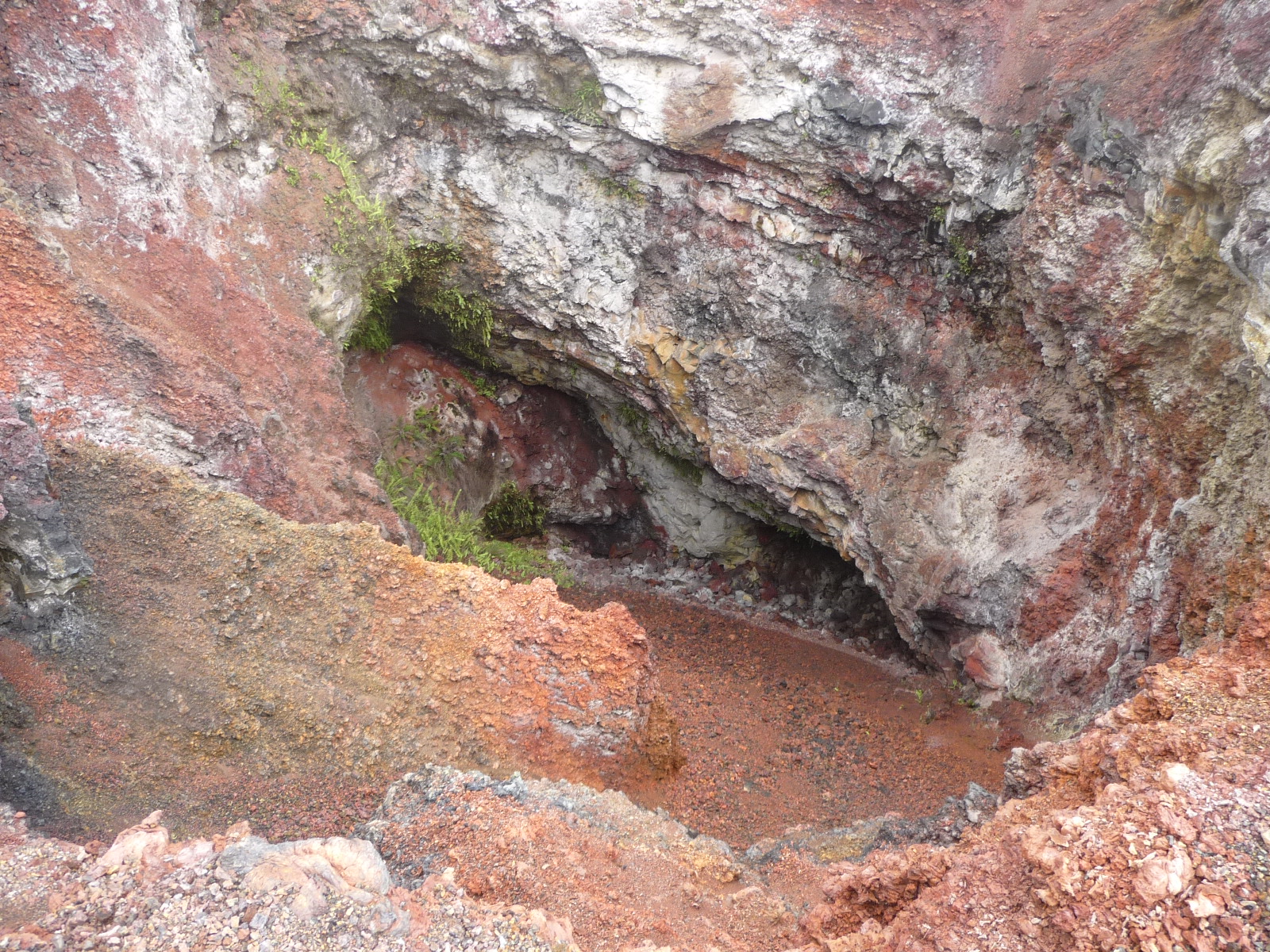
Looking over the rim, down inside.
Zooming in on the bottom.
Looking directly across the crater at the other side, a couple hundred feet away.
I followed this little trail part way around the upper rim.
Another view of the trail around the rim.
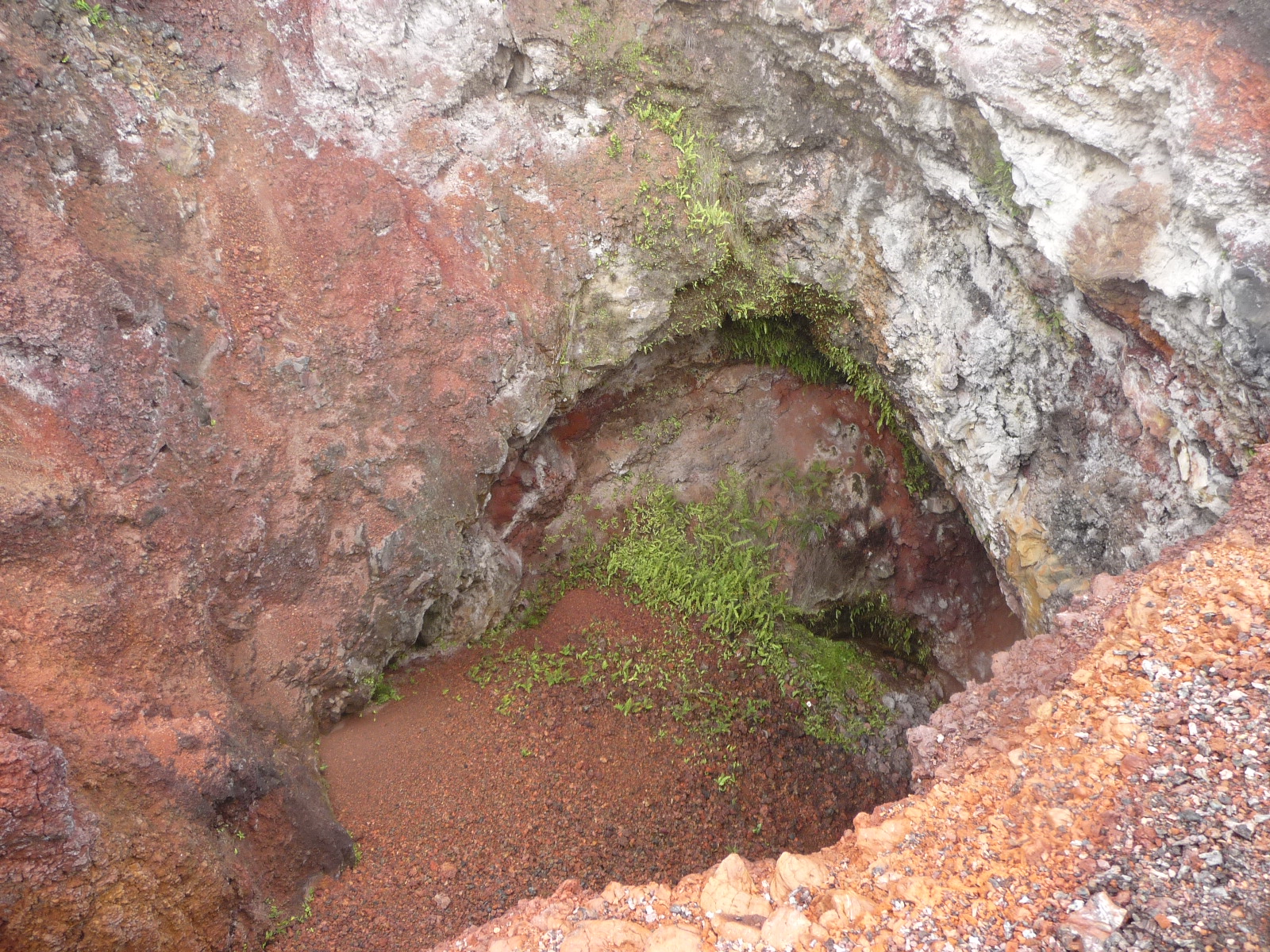
Looking down inside the crater from part of the way around the rim.
This lava texture and color is so fascinating.
Perhaps two hundred feet away, we sit on the top of a very windy view area – looking out over the ocean far below.
Using full zoom, this is a photo of a huge lava tunnel down below. The hottest part of the lava flow continues to move forward while the outer edges begin to cool down. When the hot part moves on, the tunnel is left behind.
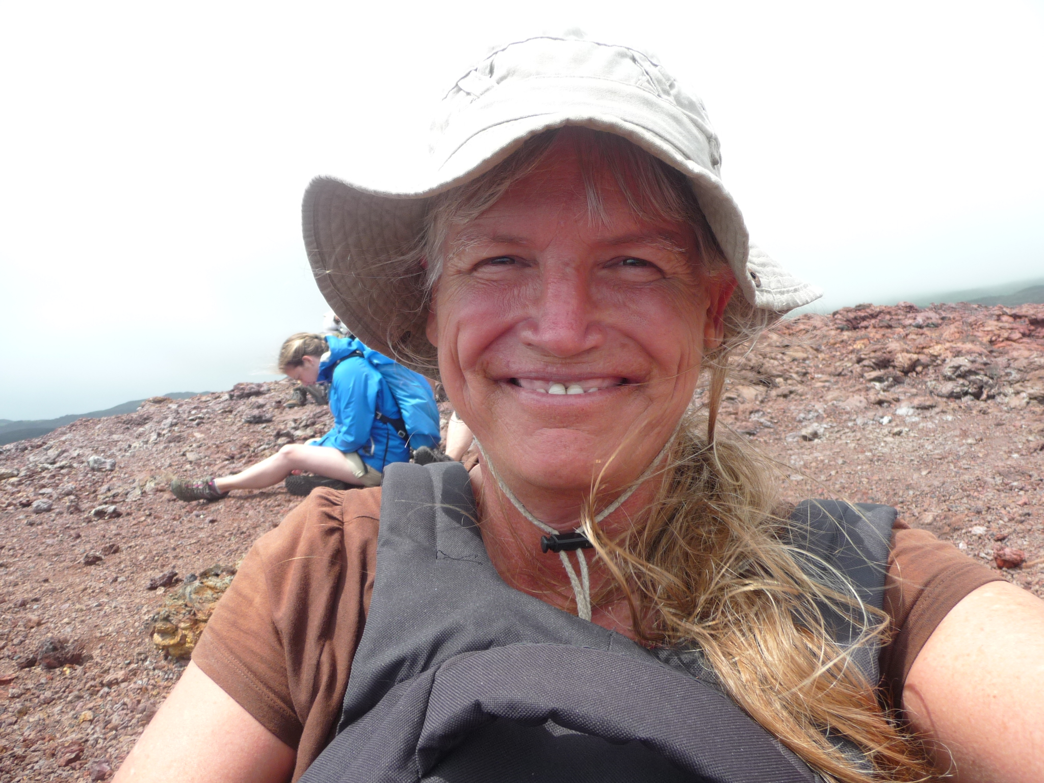
Me, on top the windy hill, giggling with delight.
Another look down toward the crater of Volcan Chico.
Actually, I am not sure. This could be a different hole in the ground, nearby – it does not look exactly like Volcan Chico from this angle.
More of the surrounding area.
We are now walking back … we have a tight schedule to keep. I need to be back at 2:30 p.m. so I can catch a boat back to Santa Cruz.
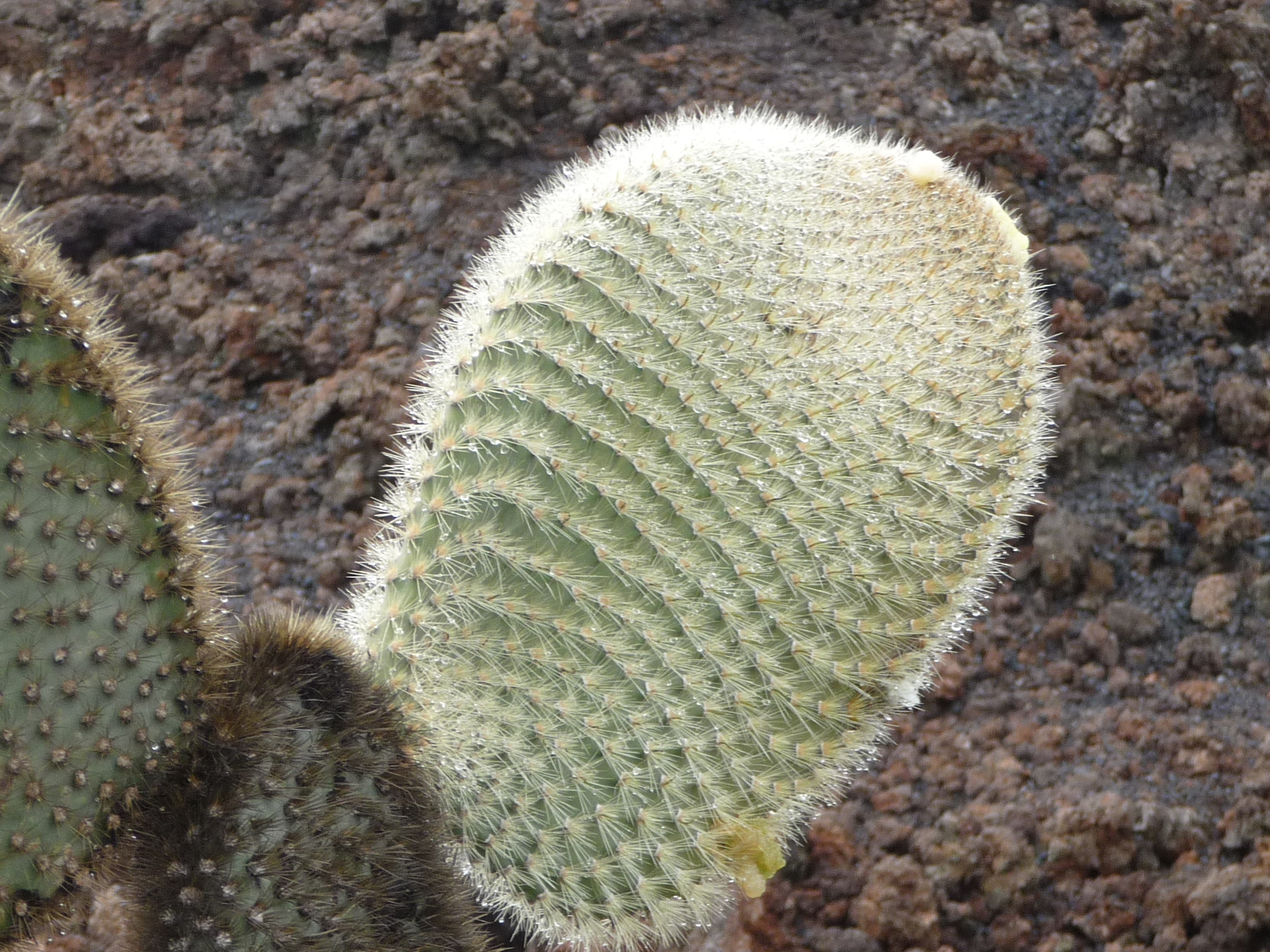
This gorgeous cactus caught my eye as we passed it. It was wet with dew from the rain, and the sun made it sparkle. The patterns were beautiful.
Same cactus, different view.
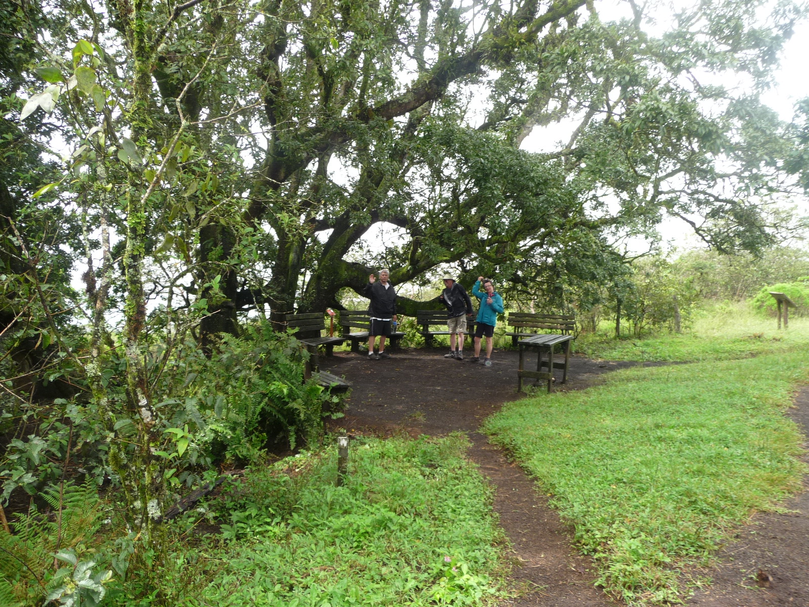
After reaching a picnic area near the rim of Volcan Sierra Negra, we stop to eat our sack lunch.
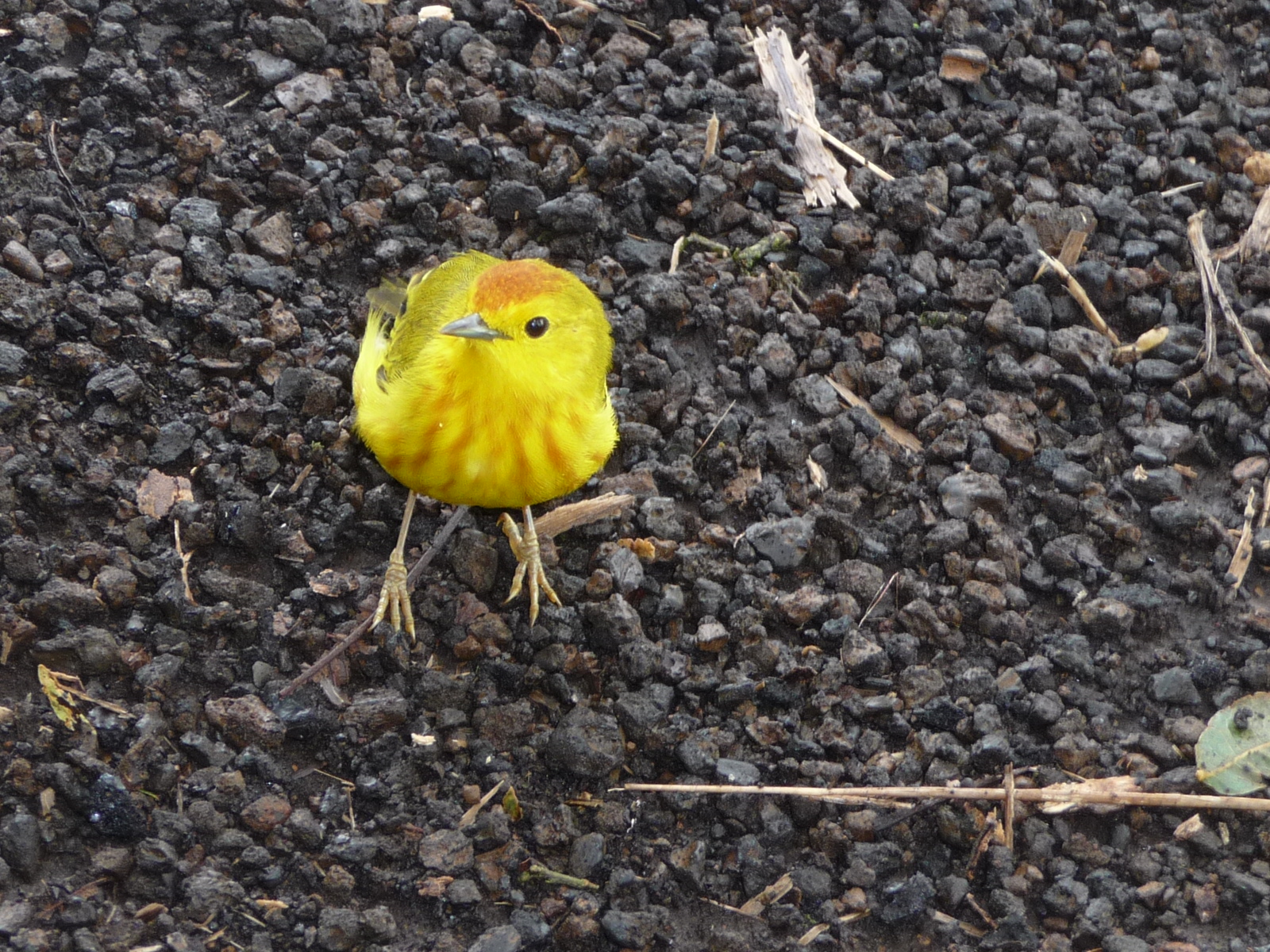
This beautiful little yellow finch was entertaining us while begging for food. We were all respectful, obeying the rules, not giving him any human tidbits.
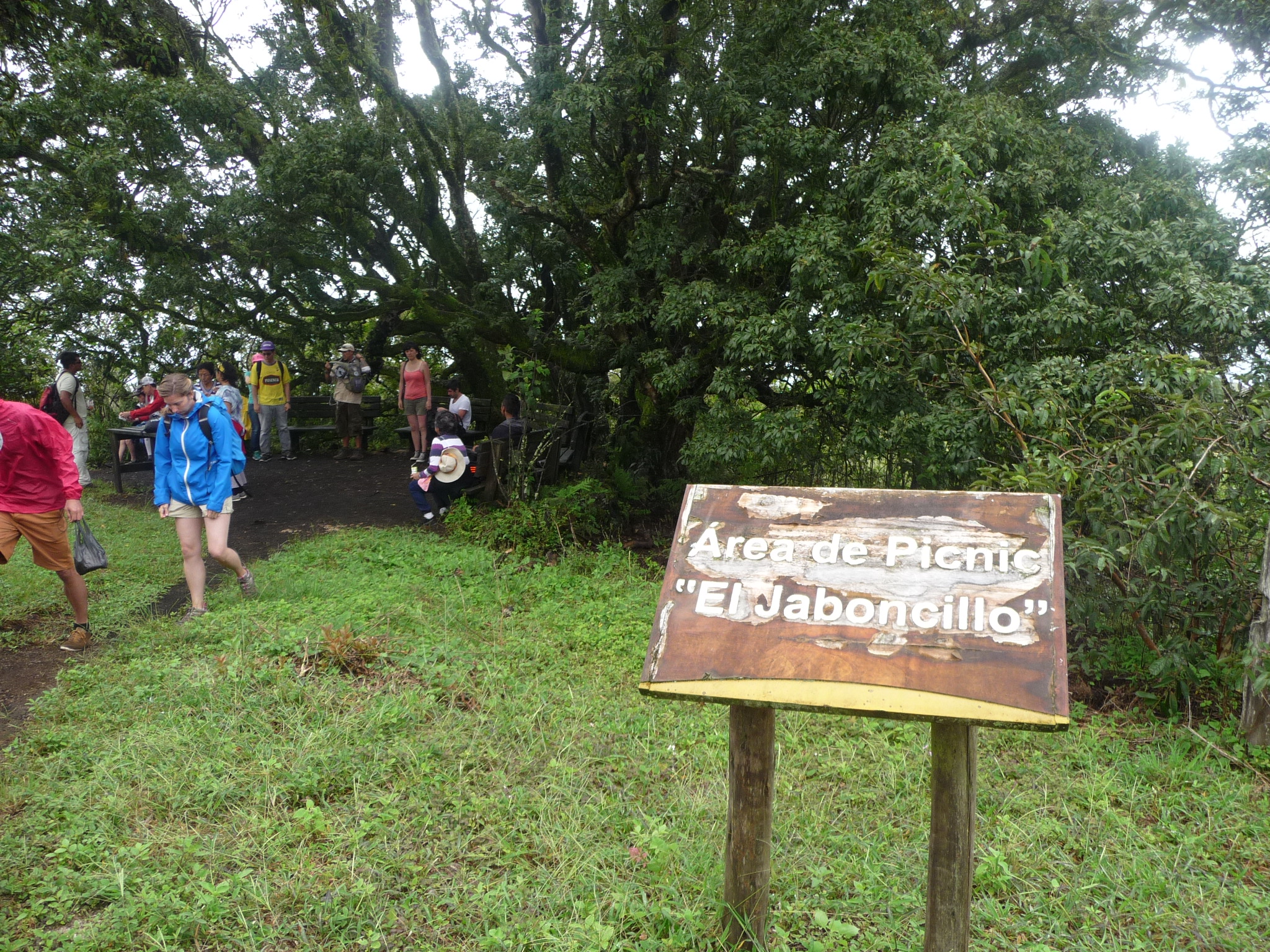
A sign in front of the picnic area. It reads “Picnic Area – the Little Soap”. Our guide told us that part of this tree was once used in the production of soap.
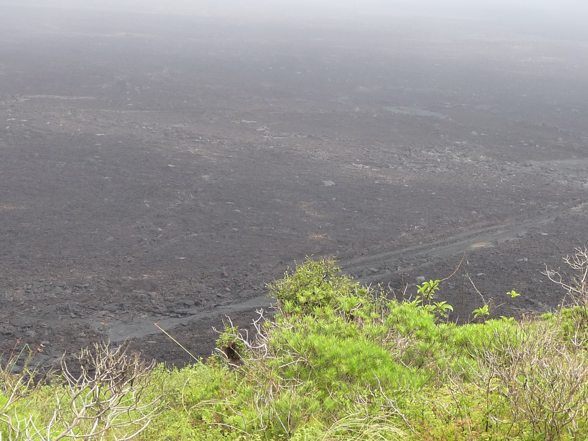
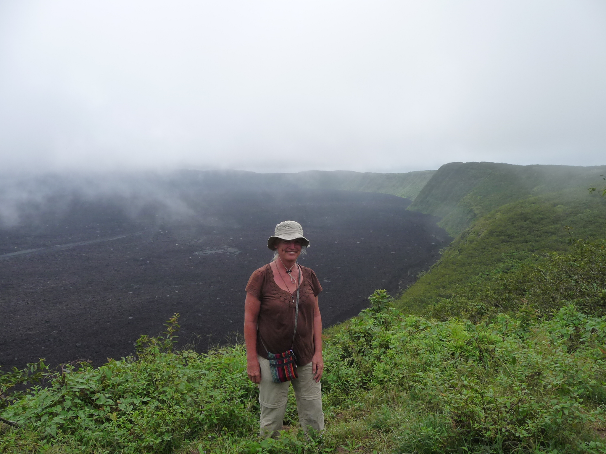
As we soon walked back to the rim of Volcan Sierra Negra, we are delighted to see that much of the fog has cleared, and we can see down inside.
Wikipedia says that this volcano rises to 3684 feet (1123 meters) – and calls it a “shield volcano” (mostly built by lava flows). It most recently erupted in 2005.
This incredibly large caldera below is 7.2 kilometers by 9.3 kilometers (4.5 miles by 5.7 miles) in size. The rim completely surrounds the huge caldera below – a caldera that from this viewpoint looks mostly flat.
With less zoom, looking from the rim down into this enormous caldera.
This photo gives a better perspective. The rim runs all the way around this huge caldera, like a sharp pointed ridge. In many places the walls of the caldera look very steep.
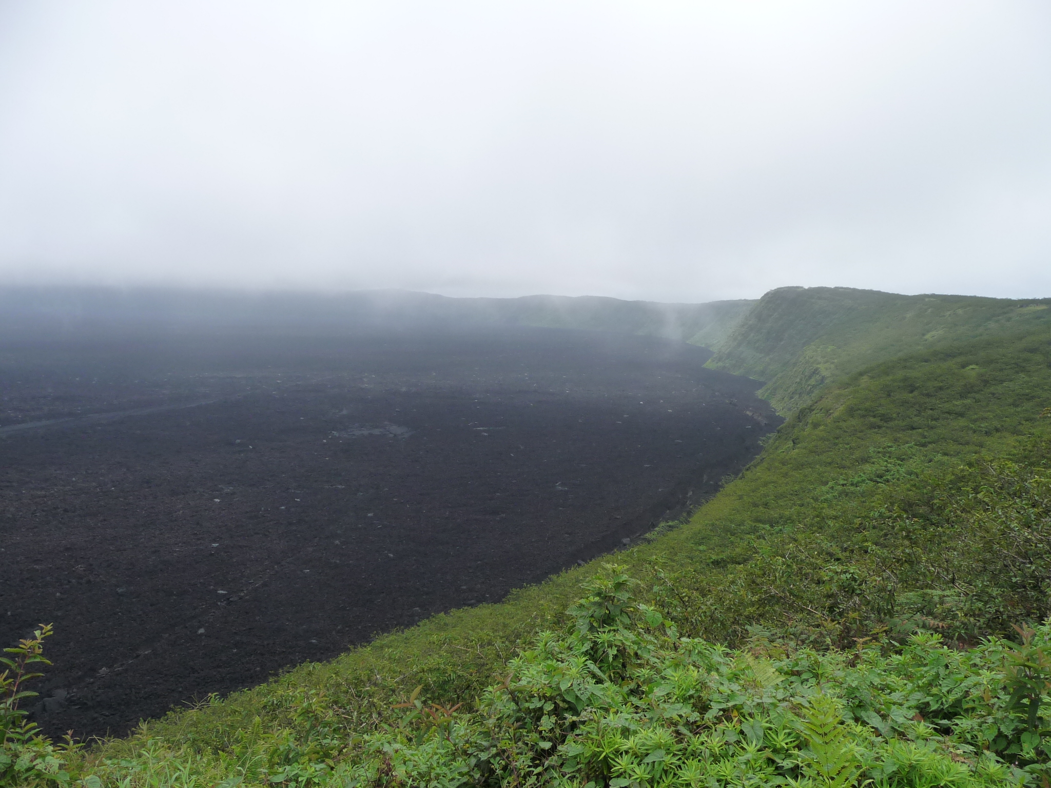
We take considerable time observing from the previous spot, but it was still quite foggy, and we were on a schedule, so we began to again walk along our side of the volcano rim.
As the fog cleared a little more we stopped for another brief view down into the caldera.
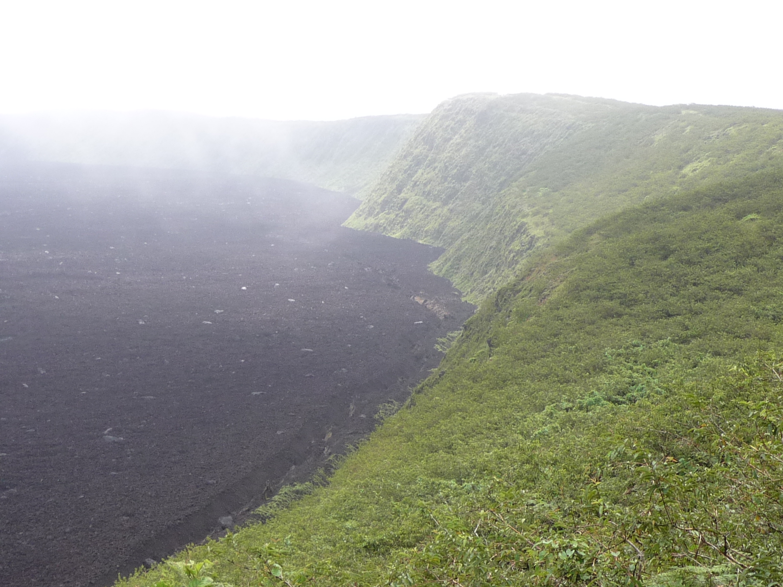
This is one of my best photos. It shows the mountains surrounding this side of the caldera. The bottom is a very flat area, covered in a huge rubble of extremely random textures of lava rock.
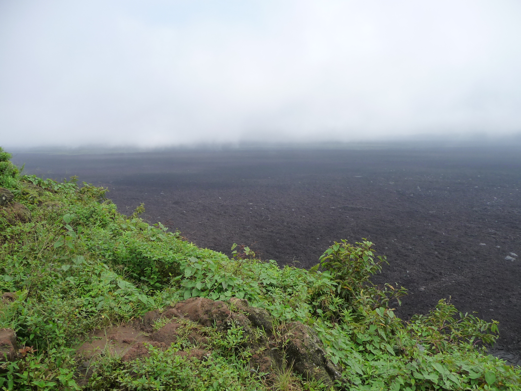
And these last few photos are even more clear and picturesque.
Looking left toward the bottom. Remember, the bottom is 4.5 by 5.7 miles across.
Not a very good photo of me (my clothes are droopy and sweaty) … but I have a big grin and am loving the hike.
This photo is even more clear in showing the bottom (click to enlarge).
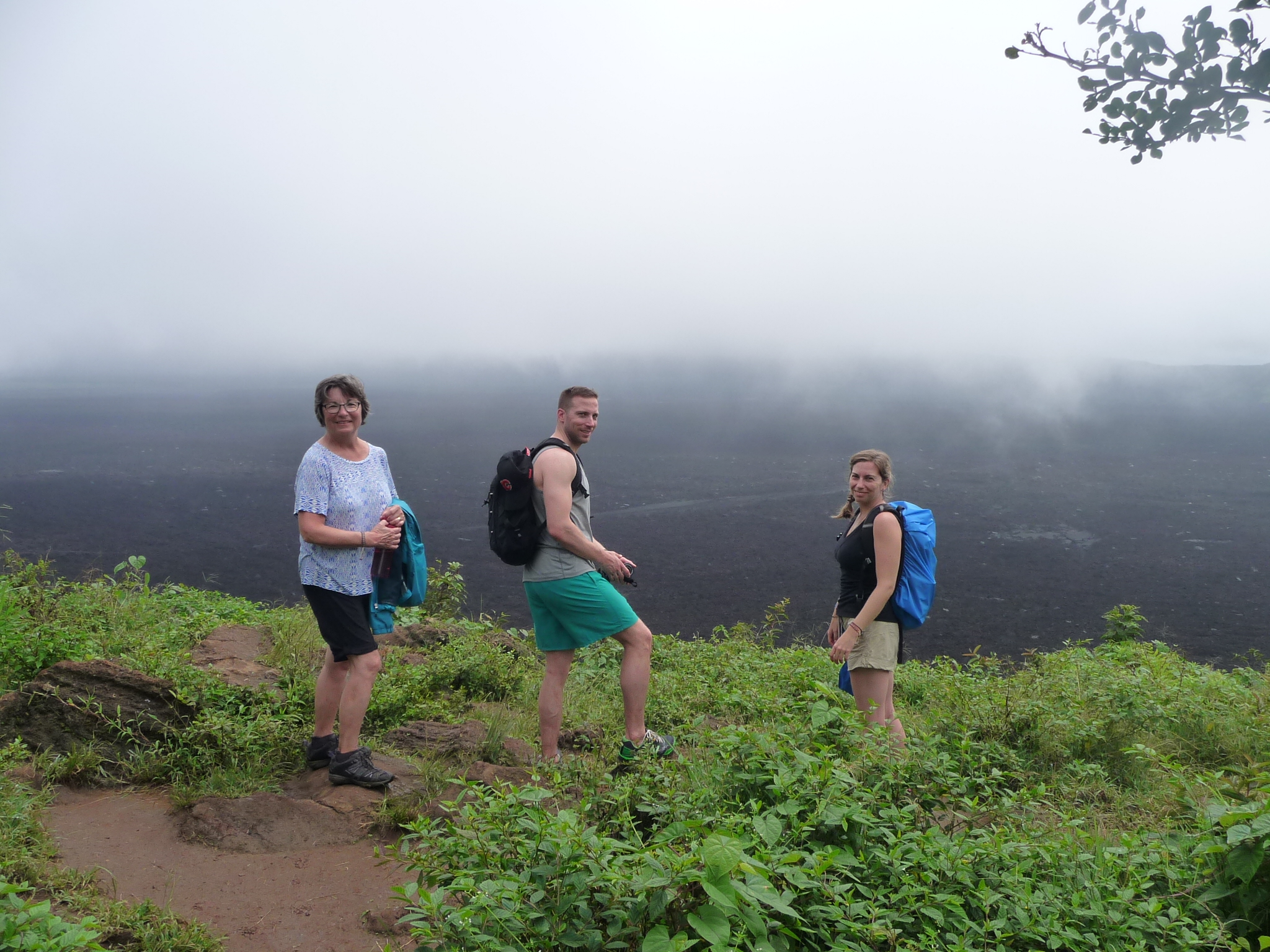
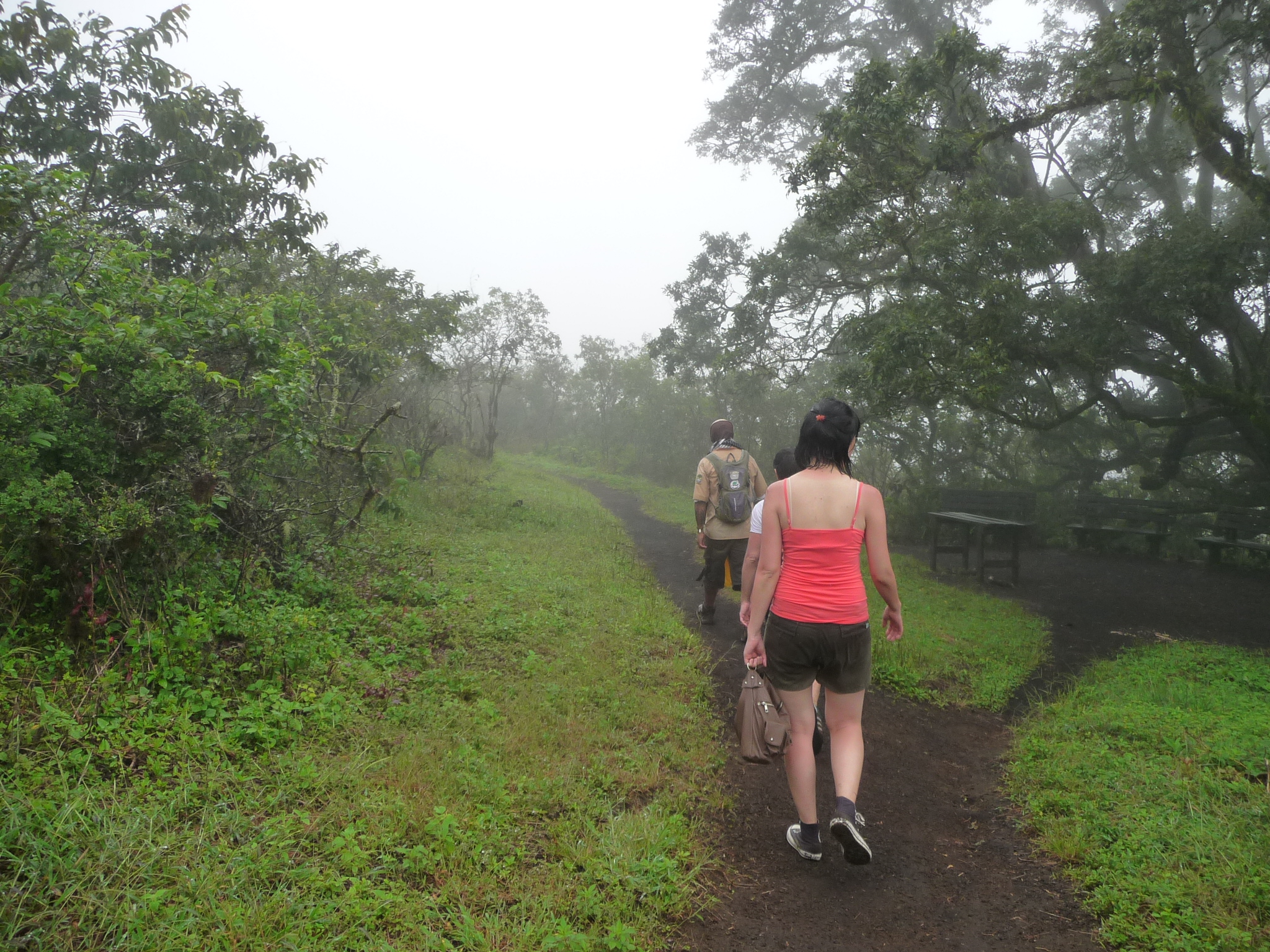
Three of my new friends on the tour.
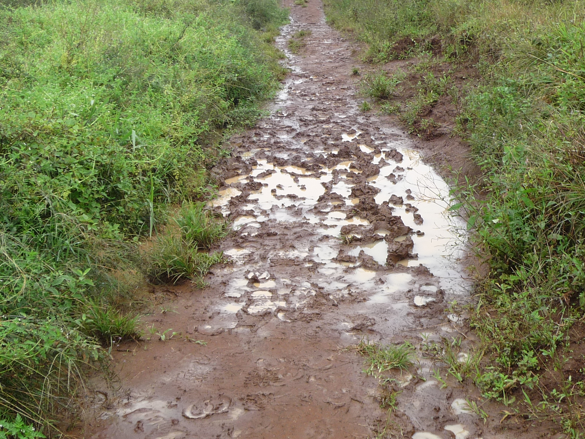
On the way back, I took a few photos of the muddy parts of the trail. They were much worse than this on our way up. There were pools of water here that were several inches deep, with almost no way around them.
This area had been especially treacherous on the way up. It was through here that I finally gave up on trying to keep my shoes dry and clean.
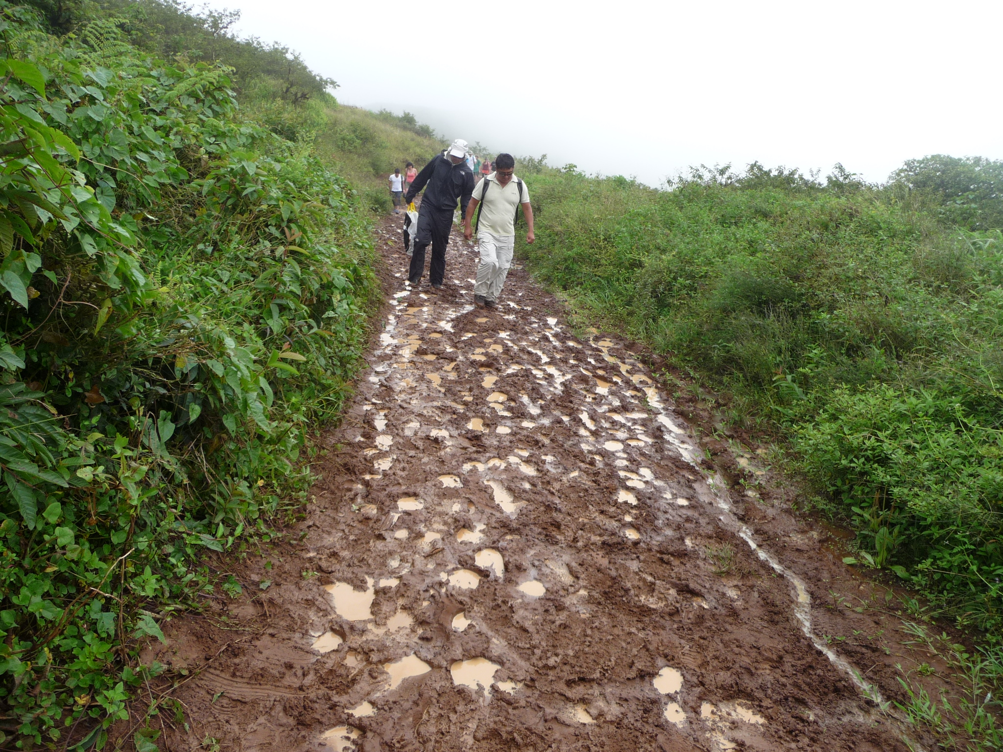
It was so fun to actually be able to see the trail as we walked back to the parking lot where we would find our return transportation.
Summary
It was a magical three days on Isla Isabela. I really would have liked to spend more time here, but I already had tickets for a return boat at 2:50 p.m..
The driver got me back to my hotel by 2:30 p.m. as I was hoping, but once I got my bags gathered up, I was unable to get a taxi. There was another woman at my hotel also trying to get to the boat dock. She had the hotel staff call for a taxi, but they were delayed by other passengers also rushing to the dock.
Finally, I grabbed my luggage and began to walk very fast with it. The dock was about 20 minutes away (on foot) … and I was dragging a heavy suitcase.
I told the woman that was still waiting for a taxi to please stop and pick me up if the taxi did come.
Ten minutes later, when I was about half way to the boat dock, the taxi flashed his lights and stopped to get me. I was very grateful because I was extremely exhausted and sweaty. We were in the hottest part of the day and the humidity was high.
I did not realize it until later, but the equator actually passes through the upper part of Isabela Island.
I made it back to my boat with minutes to spare, and two hours later I was back on Santa Cruz Island, checking into a hostel, settling in for the next phase of my journey (which I documented in Part One).
Copyright © 2015 by Brenda Larsen, All Rights Reserved
Hi! Would you mind if I share your blog with my
facebook group? There’s a lot of people that I think would
really appreciate your content. Please let me know.
Cheers
Yes, please feel free to share with your Facebook group.