This post contains 206 photos, including detailed narratives. It covers two days, June 14-15, 2014.
Early on Saturday morning, June 14, 2014, I board the tour boat for the second half of my two-day overnight tour. I say goodbye to my new friends and enjoy the cruise from Amantani Island to Taquile Island. After spending half of the day on Taquile Island, we then board our boat from the other side of the island and cruise back to Puno.
Early on Sunday, June 15, I walk to the “terminal terrestre” and board a a bus that will take me back to Cusco. You might remember that when I came here from Cusco, I was on an overnight bus and did not get to see any of the scenery. On this return trip, I travel in the daytime … and I have a front row seat on the top level of the bus, so I have an amazing view for the return journey.
As usual, the photos in this post are thumbnail images. Please click on any photo to enlarge it. The thumbnails leave much to be desired as far as colors and resolution – plus the thumbnails clip all of the edges. I use thumbnails for the post itself, because it gives people an opportunity to get a summary glimpse without downloading huge amounts of data for the high-res photos.
CLICK ON ANY PHOTO TO ENLARGE TO HIGH RESOLUTION
Amantani To Taquile
The journey from Amantani Island to Taquile Island takes about an hour. These tour boats move quite slowly.
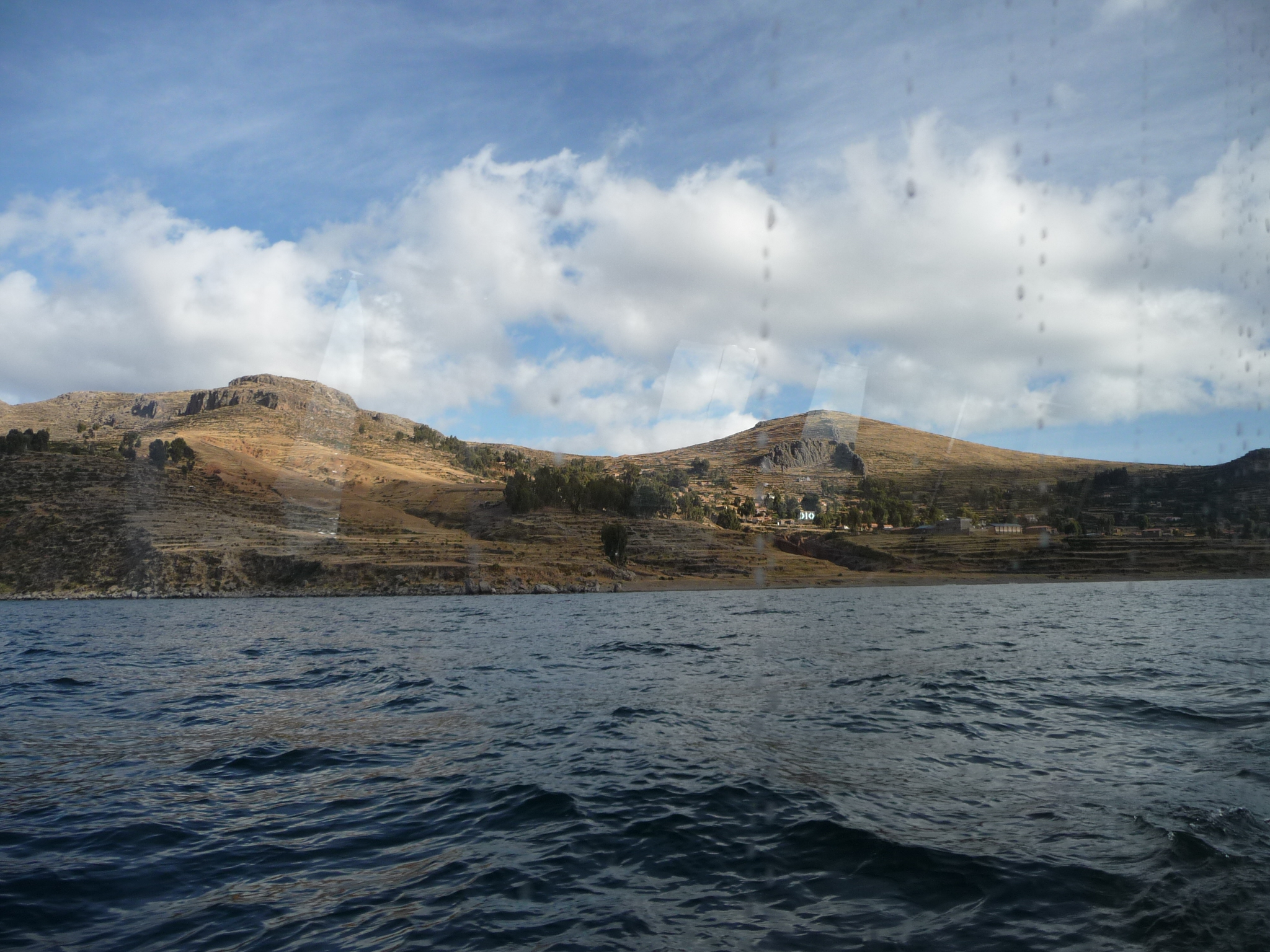
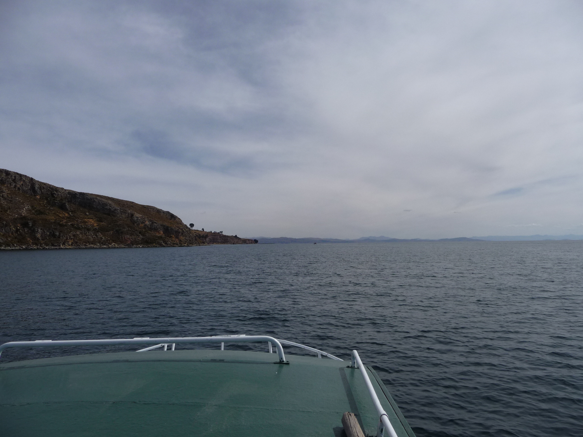
This is a look back at Amantani Island as we begin our journey. You might notice that there are many streaks in some of these photos. This is because I am taking the photos from inside of the boat, and the windows are wet and dirty.
Another glance at the island itself.
And another look back.
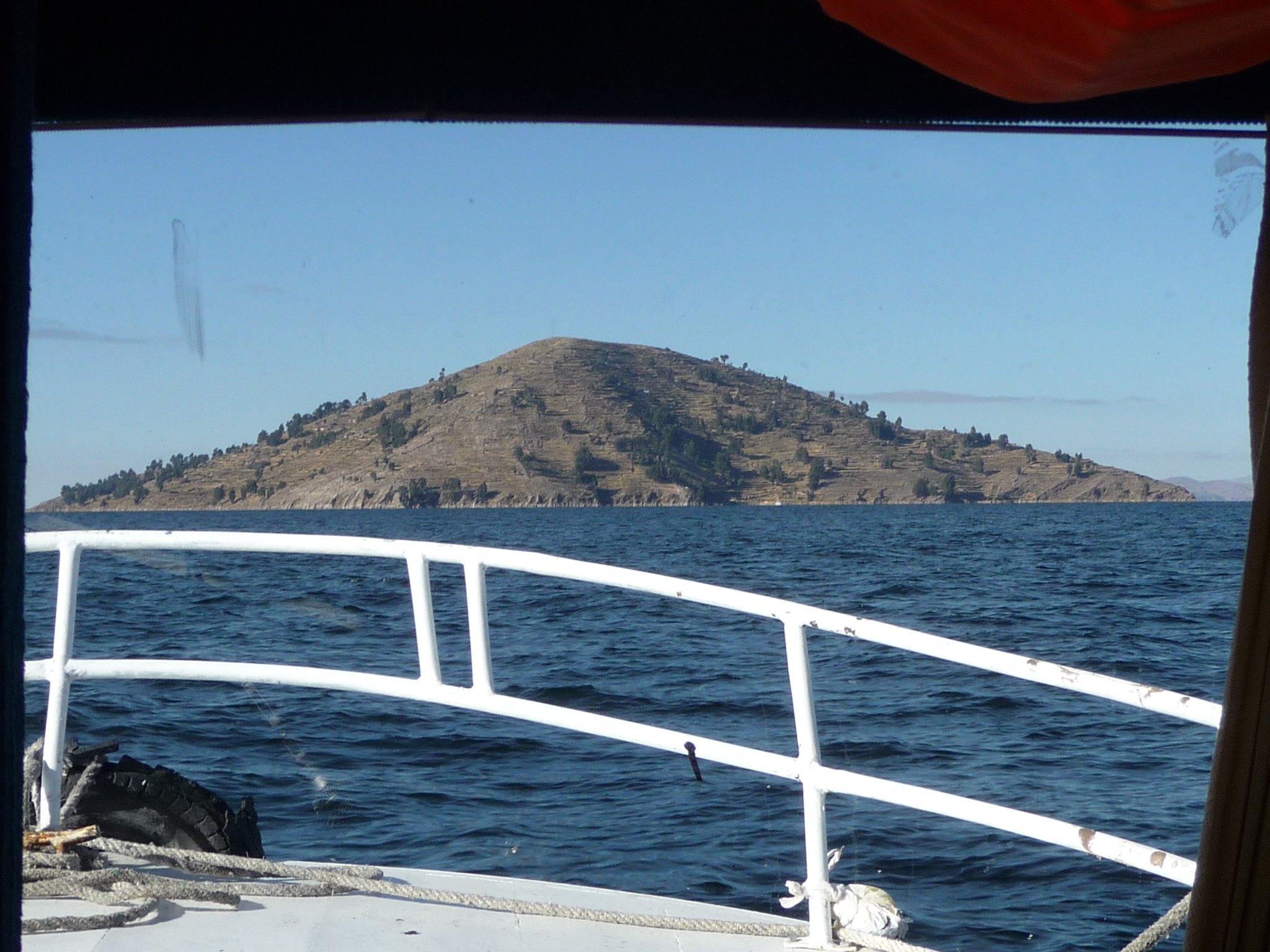
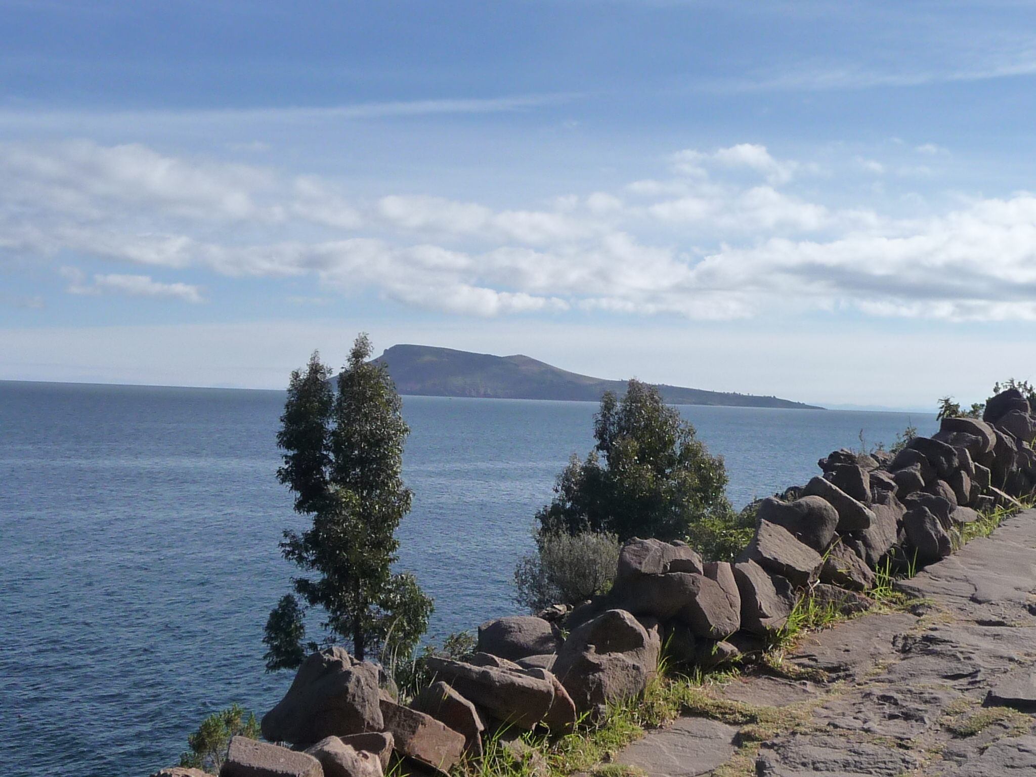
That is Taquile Island coming up in front.
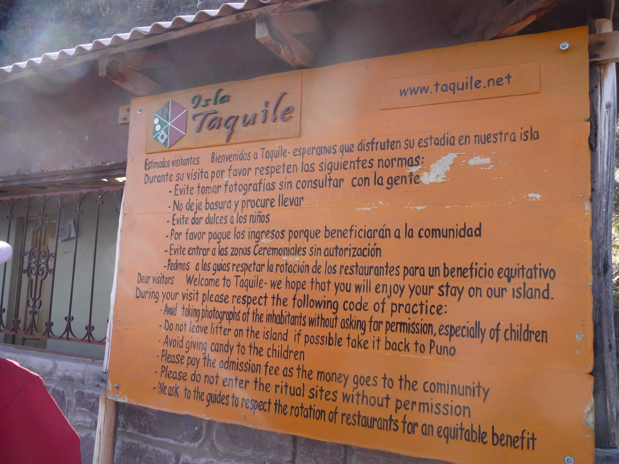
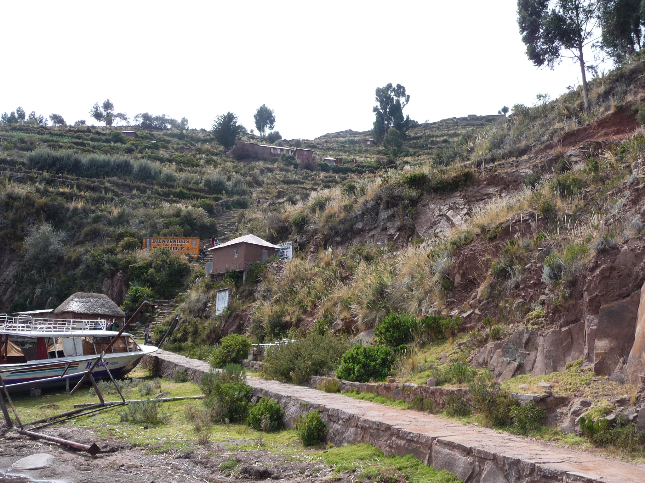
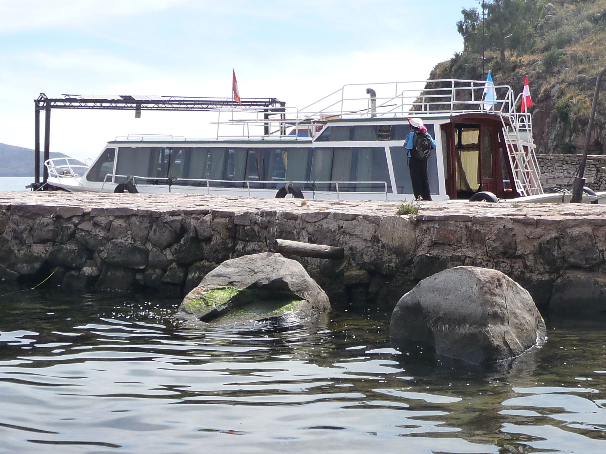
Soon, we are docked on the northeast side of the island and begin a long hike. We are greeted by this sign that lists all the rules.
If you want to read them, click on the photo and you will see that the bottom half of the sign is in English.
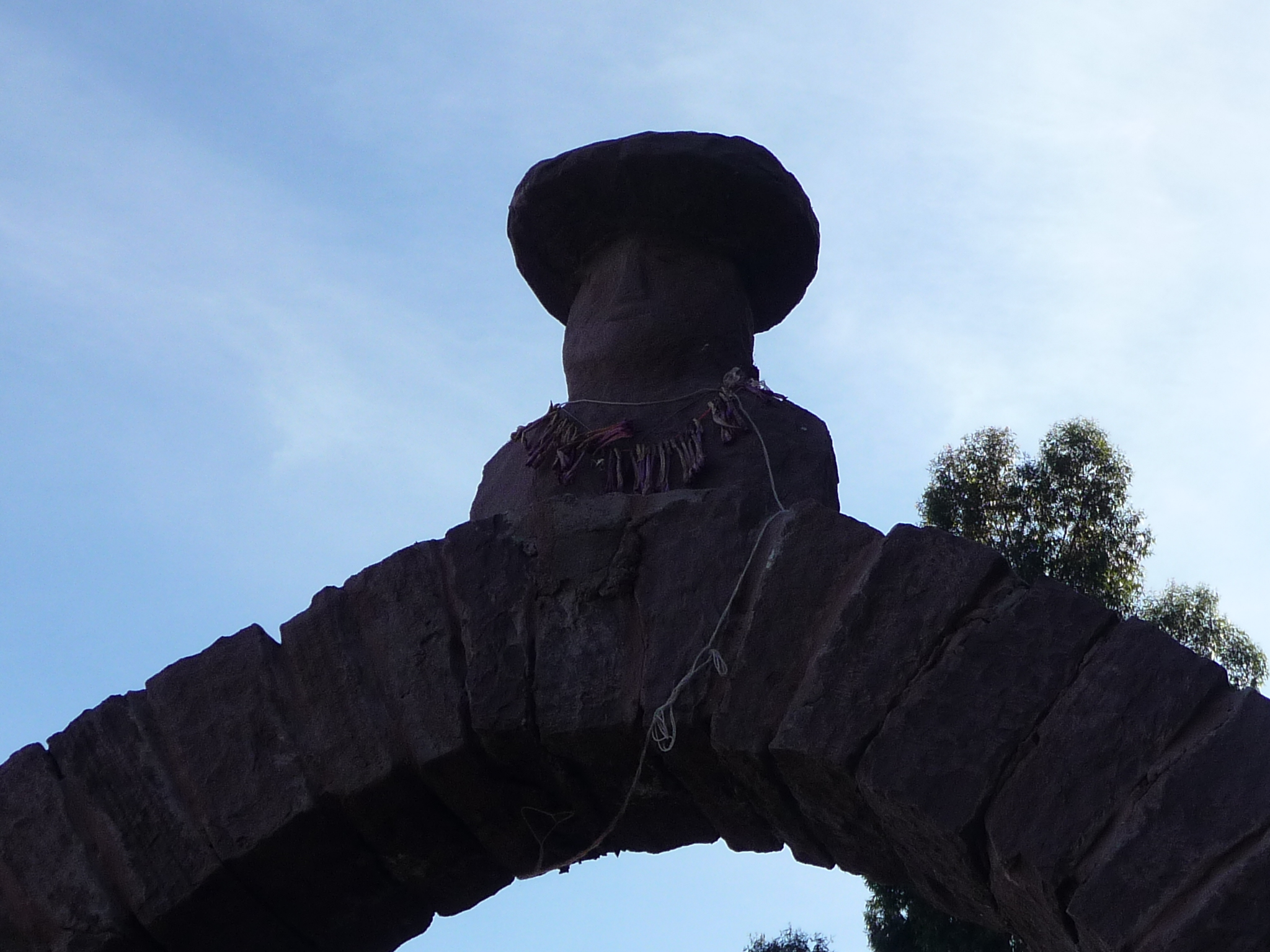
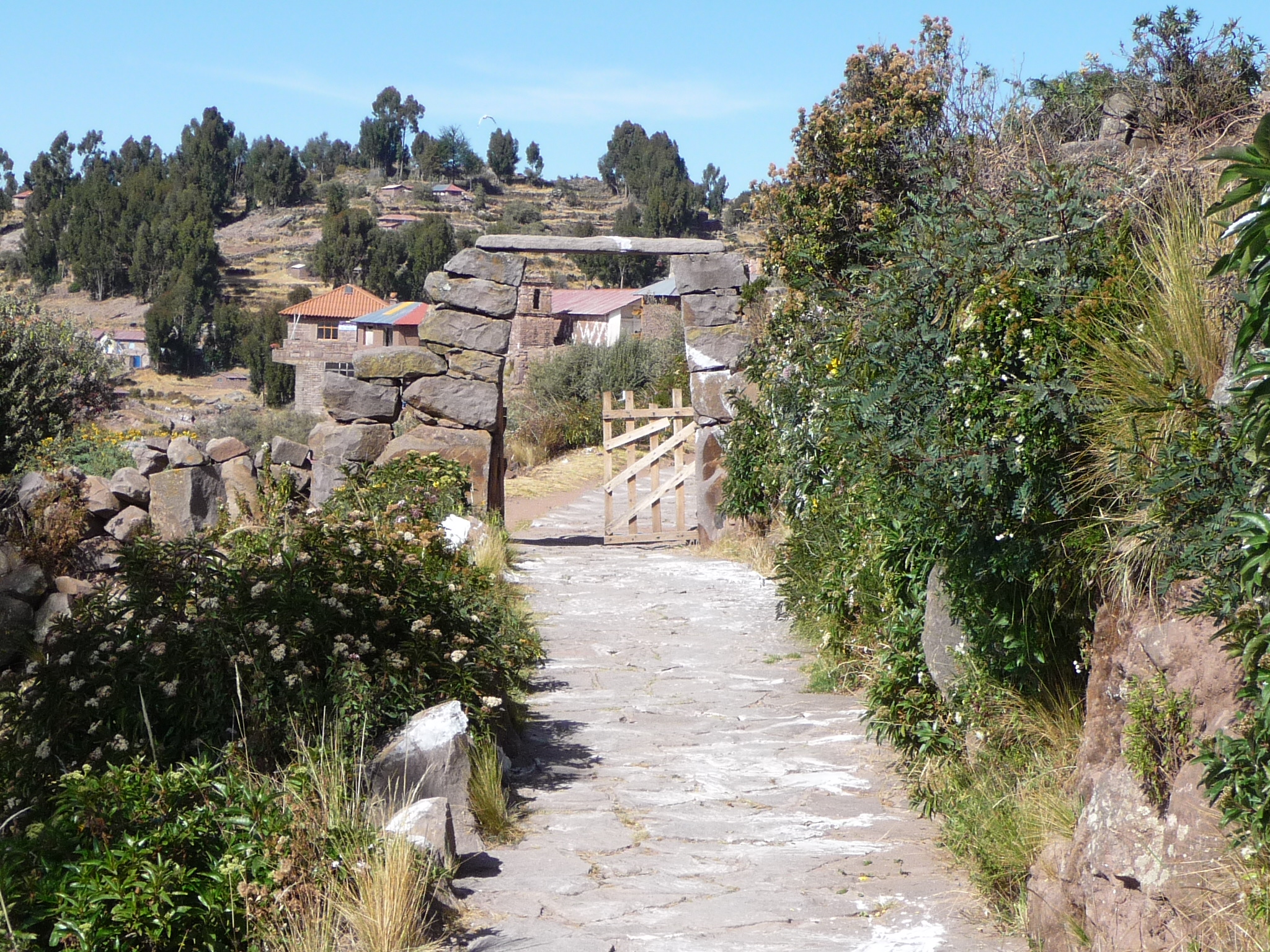
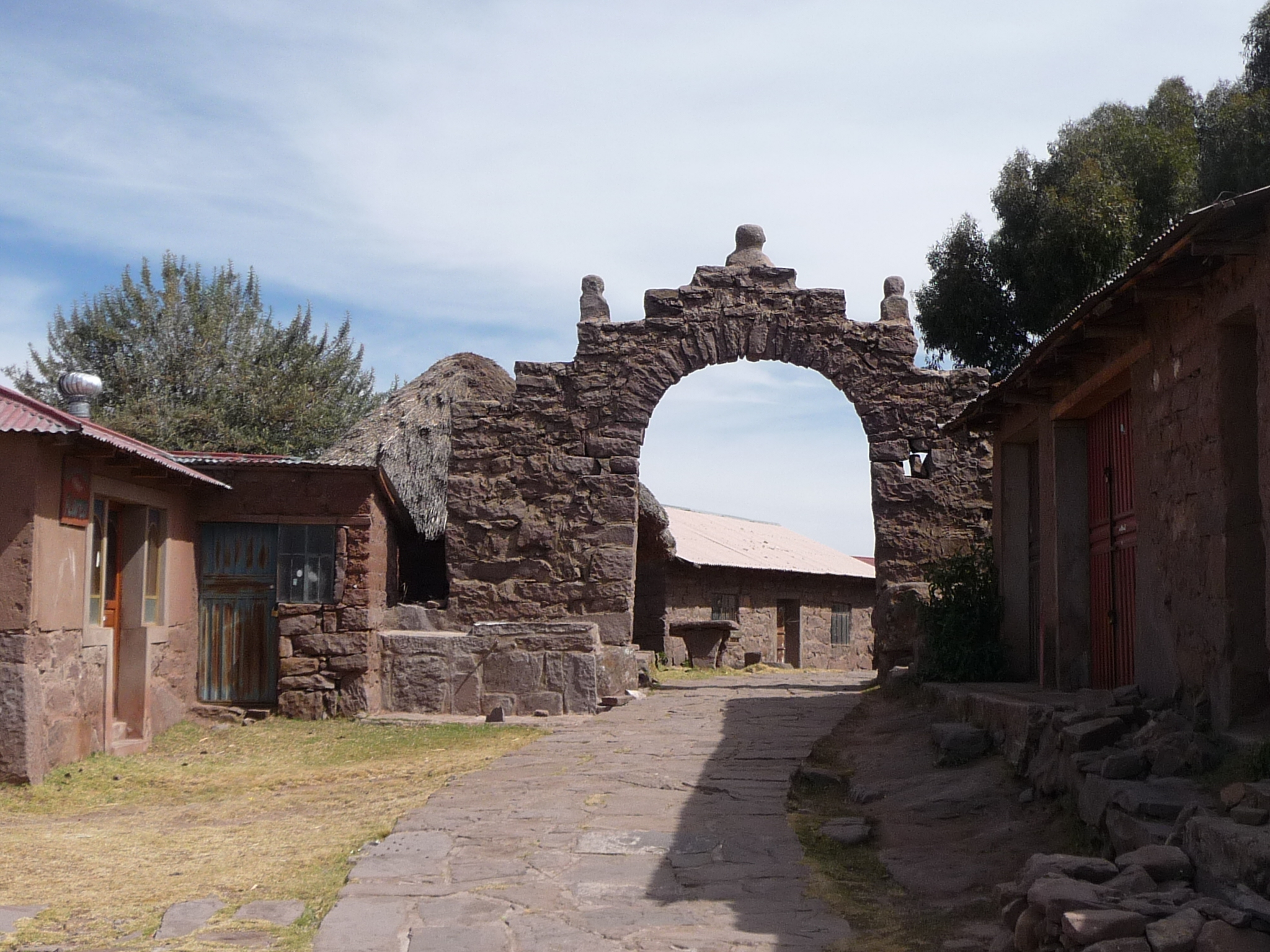
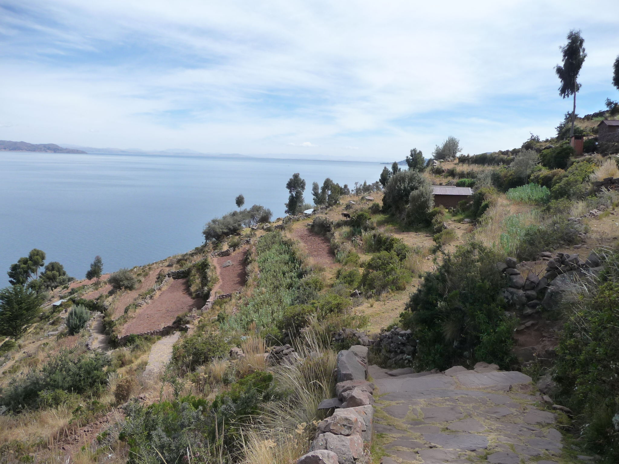
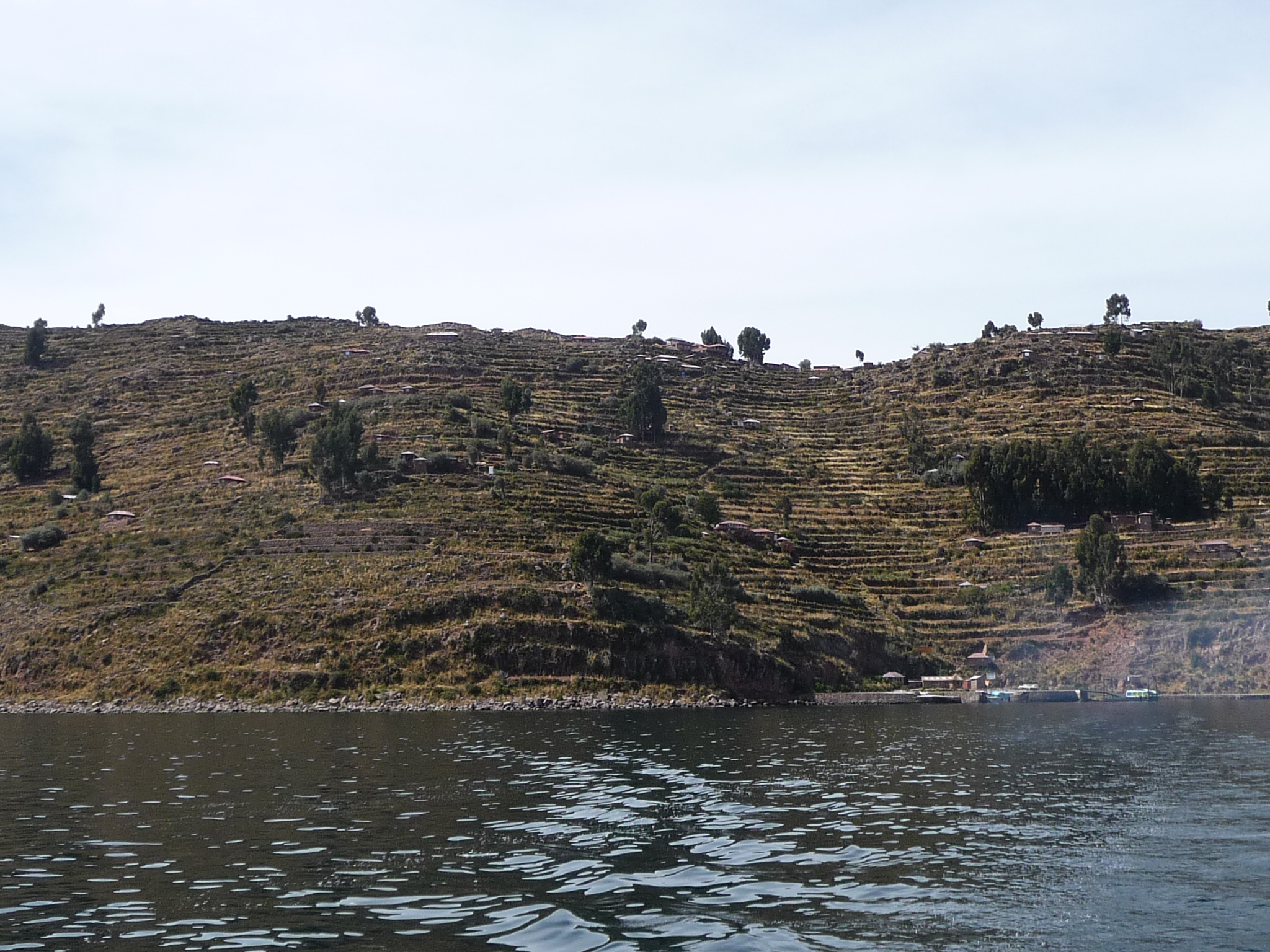
Many arches on the trail indicate that we are crossing over a community boundary. We are taking a two kilometer trail up the east side of the island, with a more-or-less gentle (at times steeper) climb to the top. After spending a couple of hours at a village on top, we will then drop down 540 steps back to a boat dock on the west side. Our boat will meet us there.
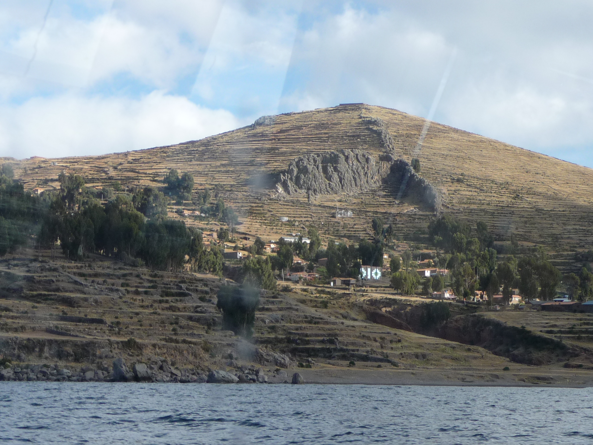
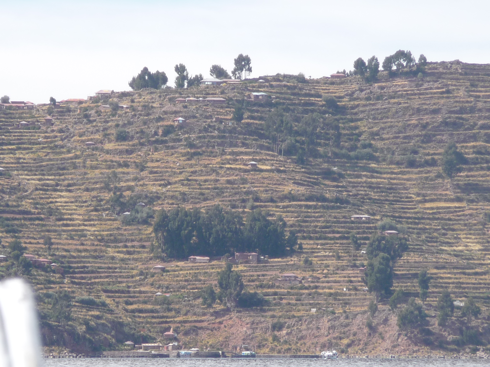
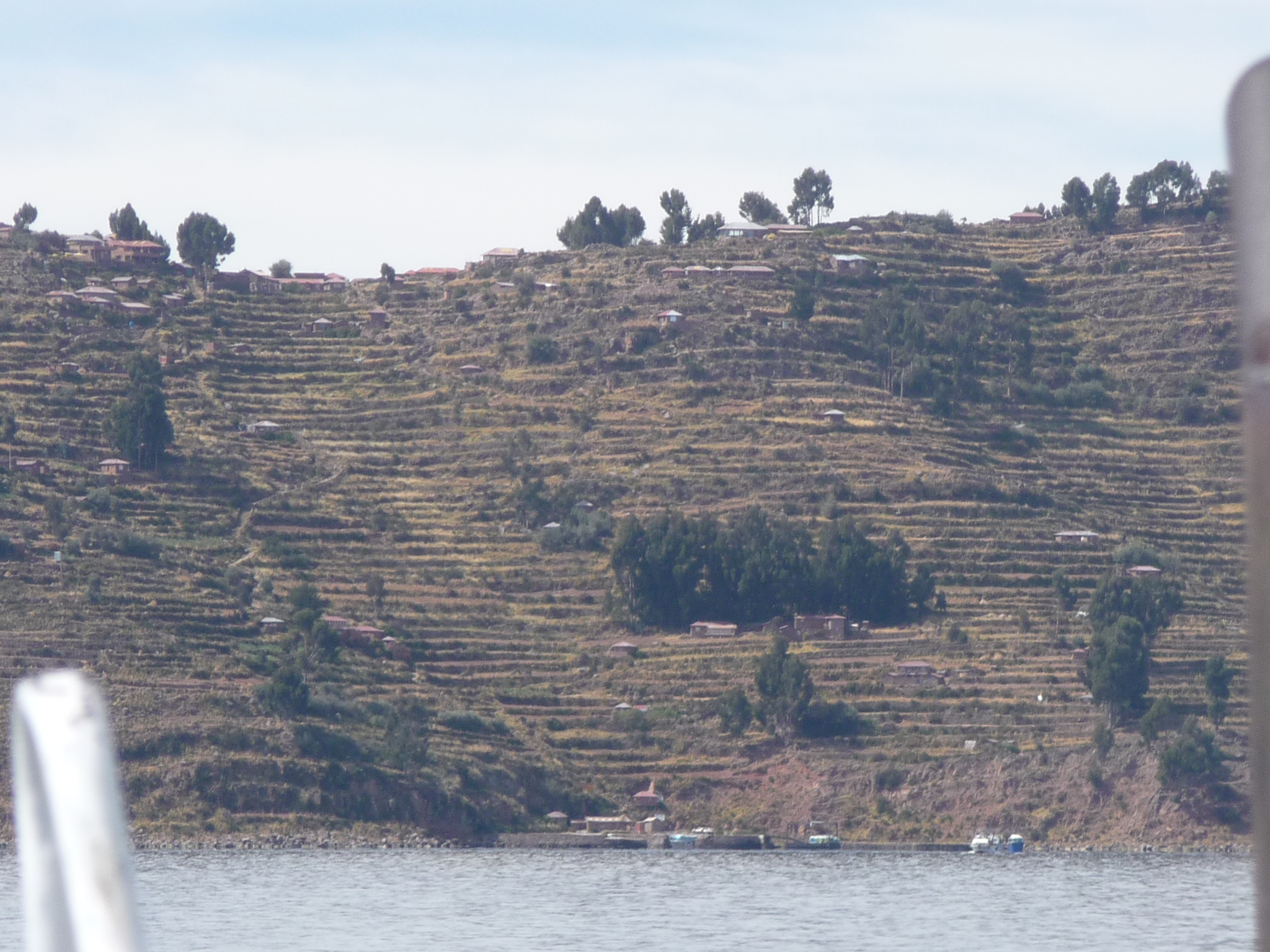
Looking from the trail back toward Amantani Island.
Part of the trail … looking back.
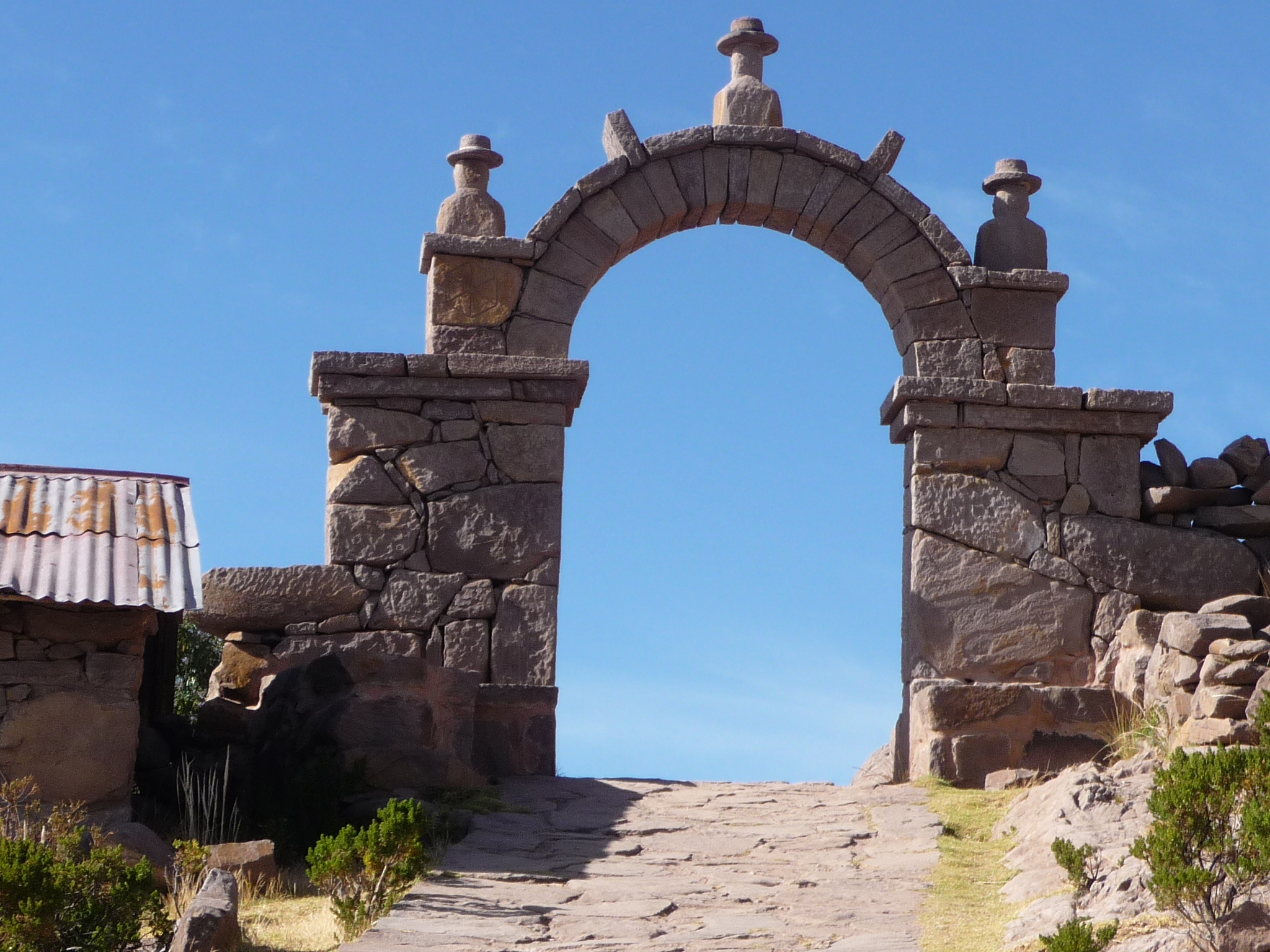
Another arch … I guess we are changing communities again. There are about six different communities scattered around this island.
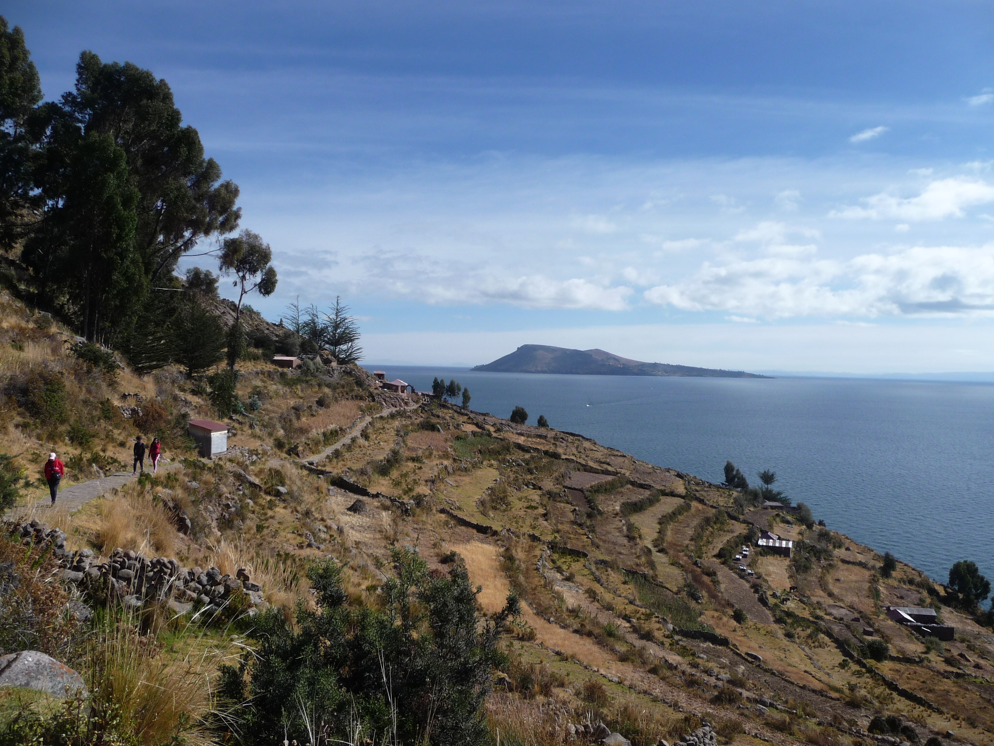
Again, looking down the trail toward Amantani Island. You can see how far up I have already climbed.
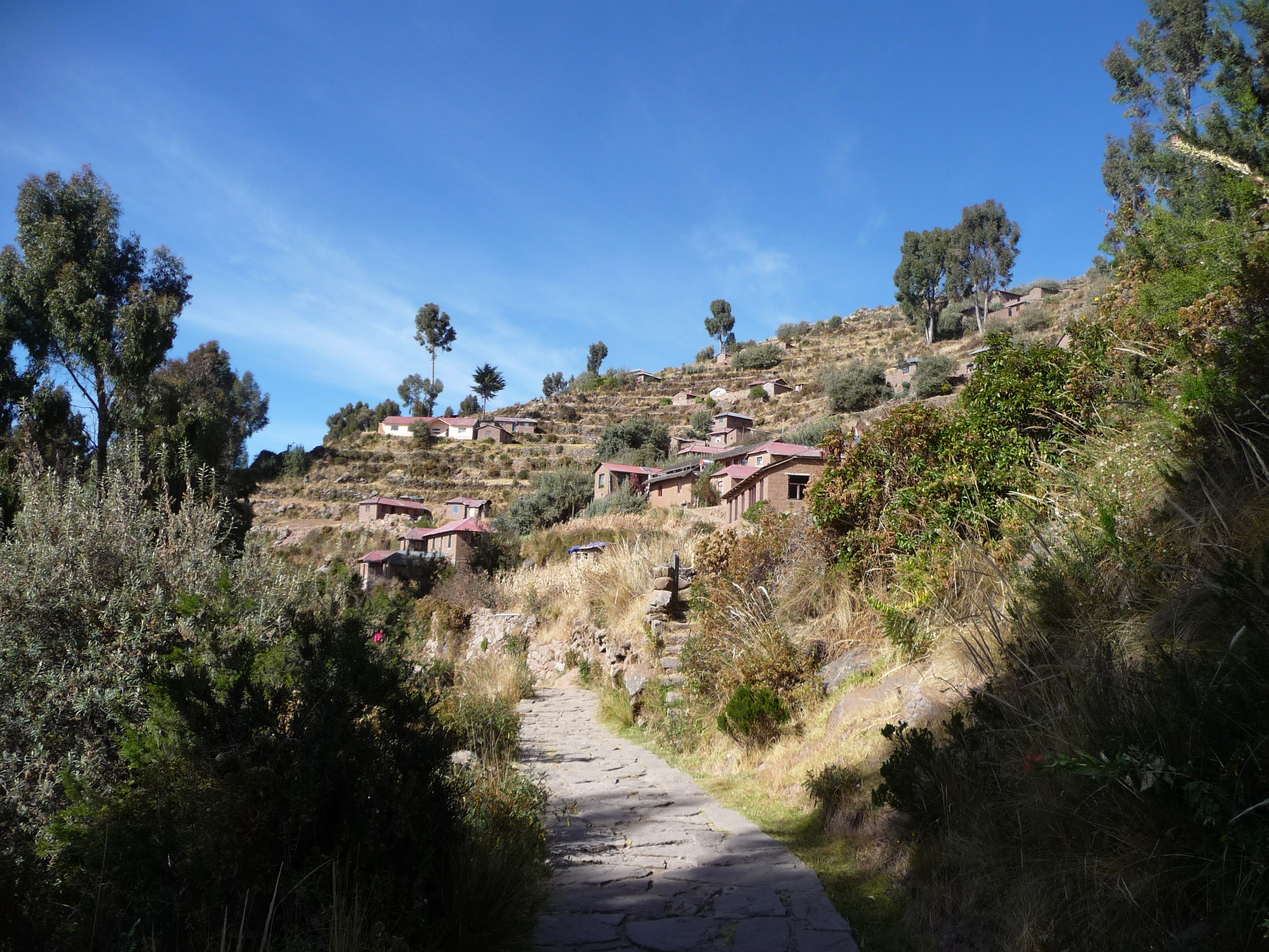
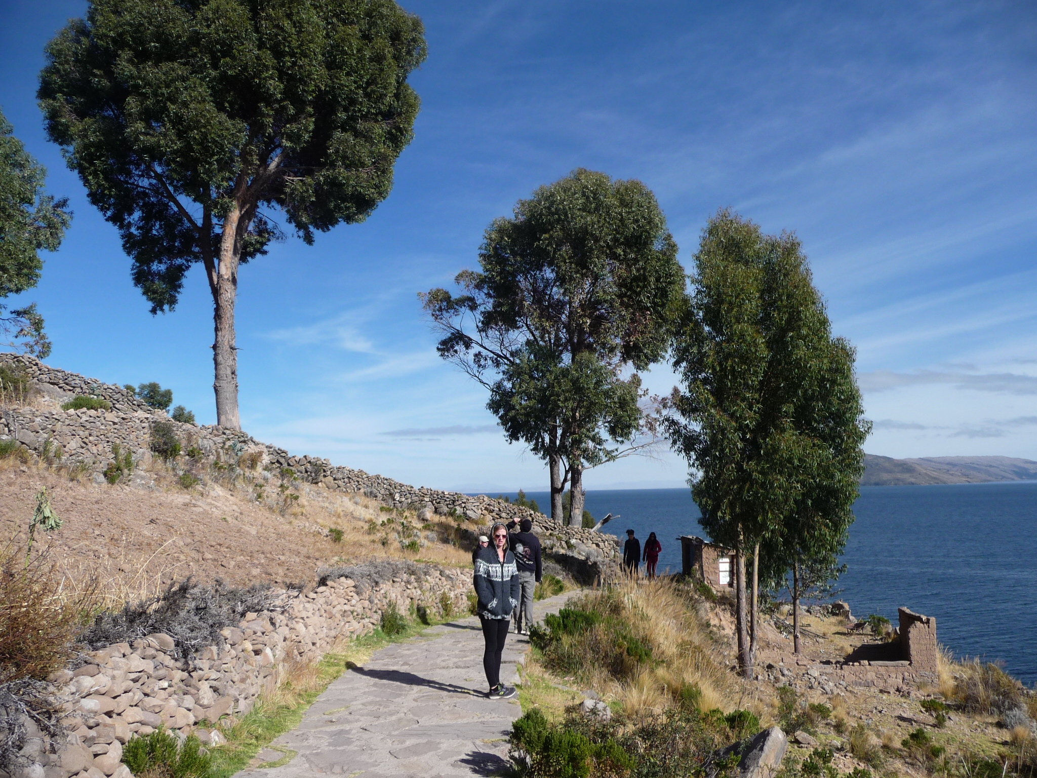
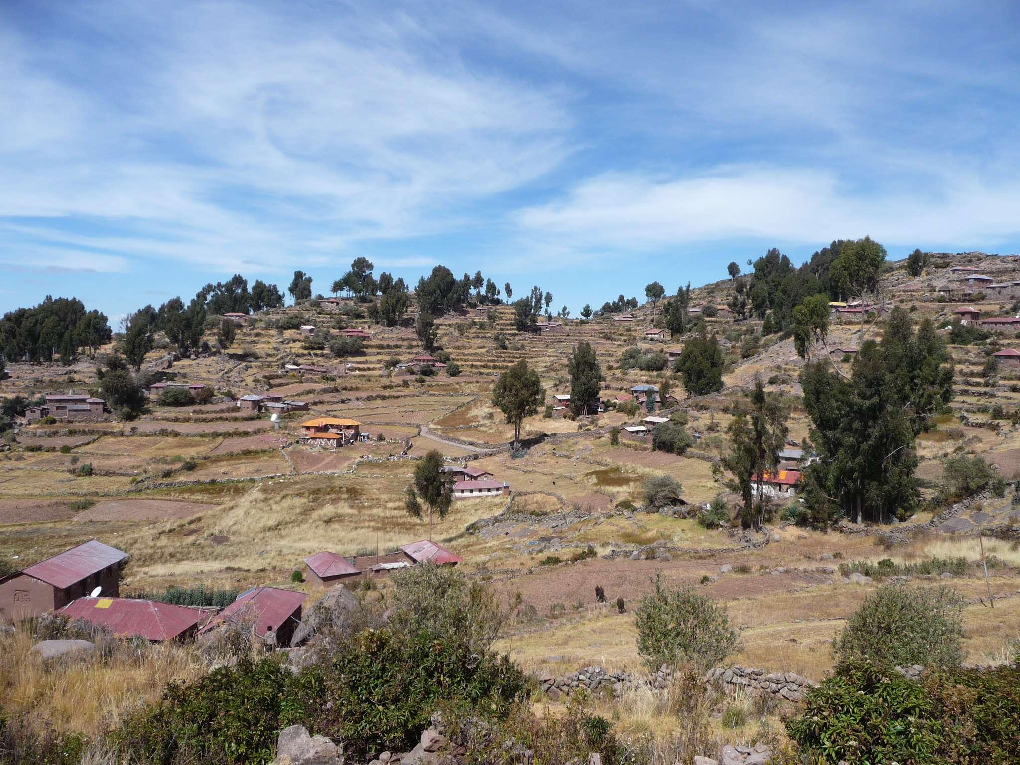
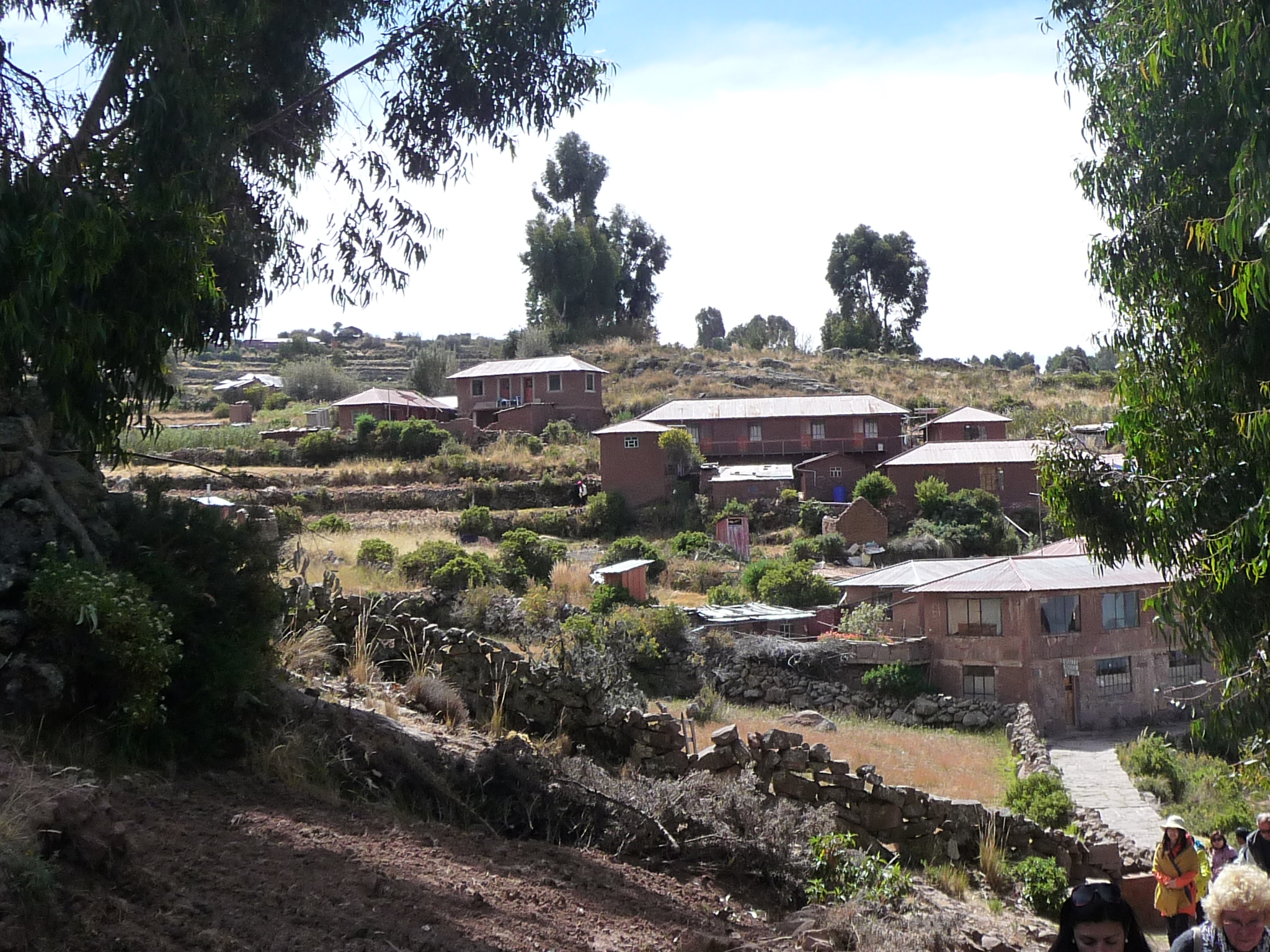
Looking ahead. The trail is quite gentle, winding gradually upward through little clusters of homes.
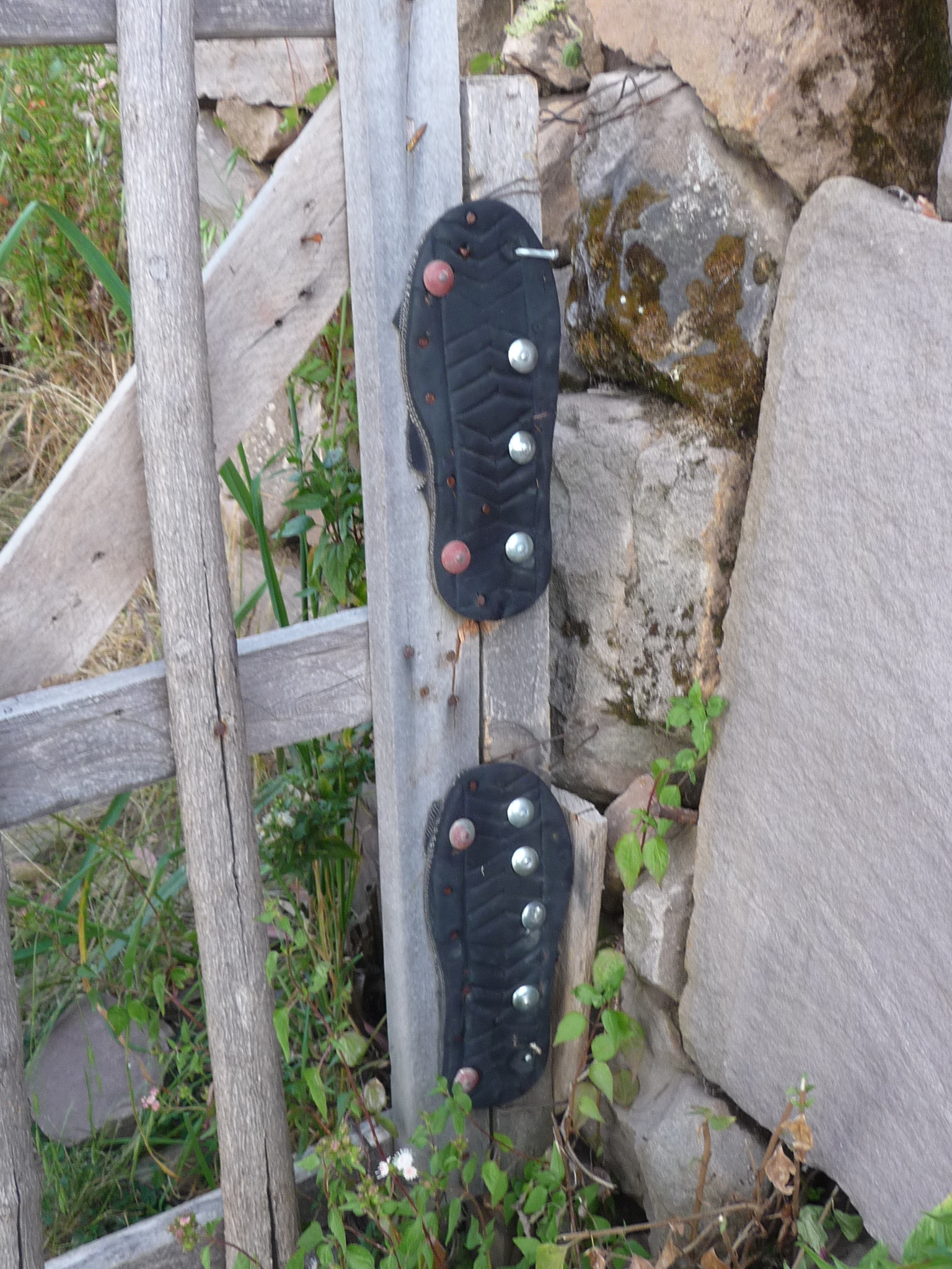
I found this to be a fascinating idea. Instead of gate hinges, the owner of this place has used the rubber soles of an old pair of sandals. I’m guessing they work quite well, and likely even cause the gate to swing closed once you pass through.
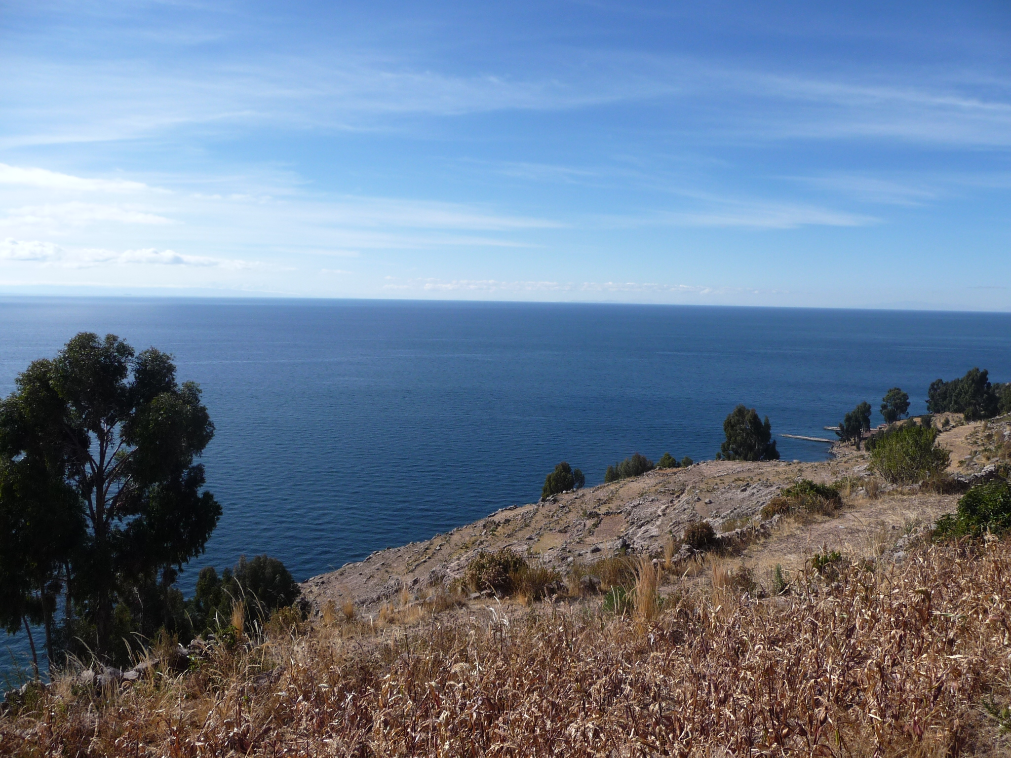
Looking out over this gorgeous lake. I think this is mostly to the east, and a little bit south.
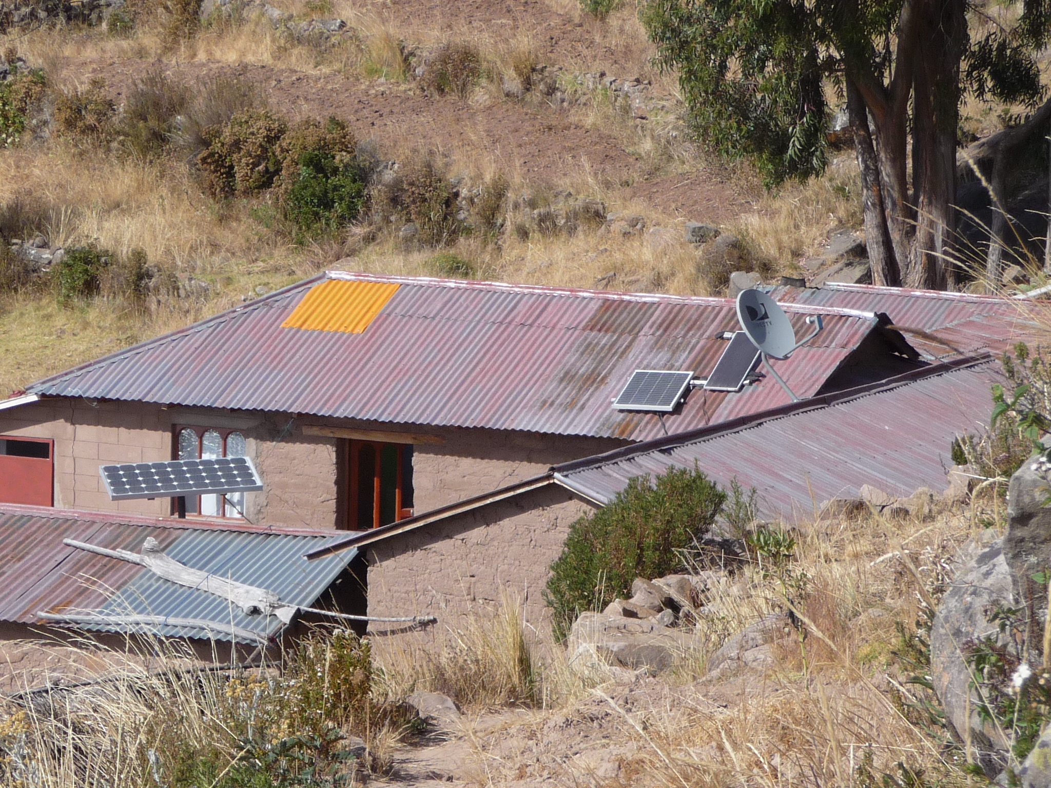
If you look close you will see solar panels and a satellite dish.
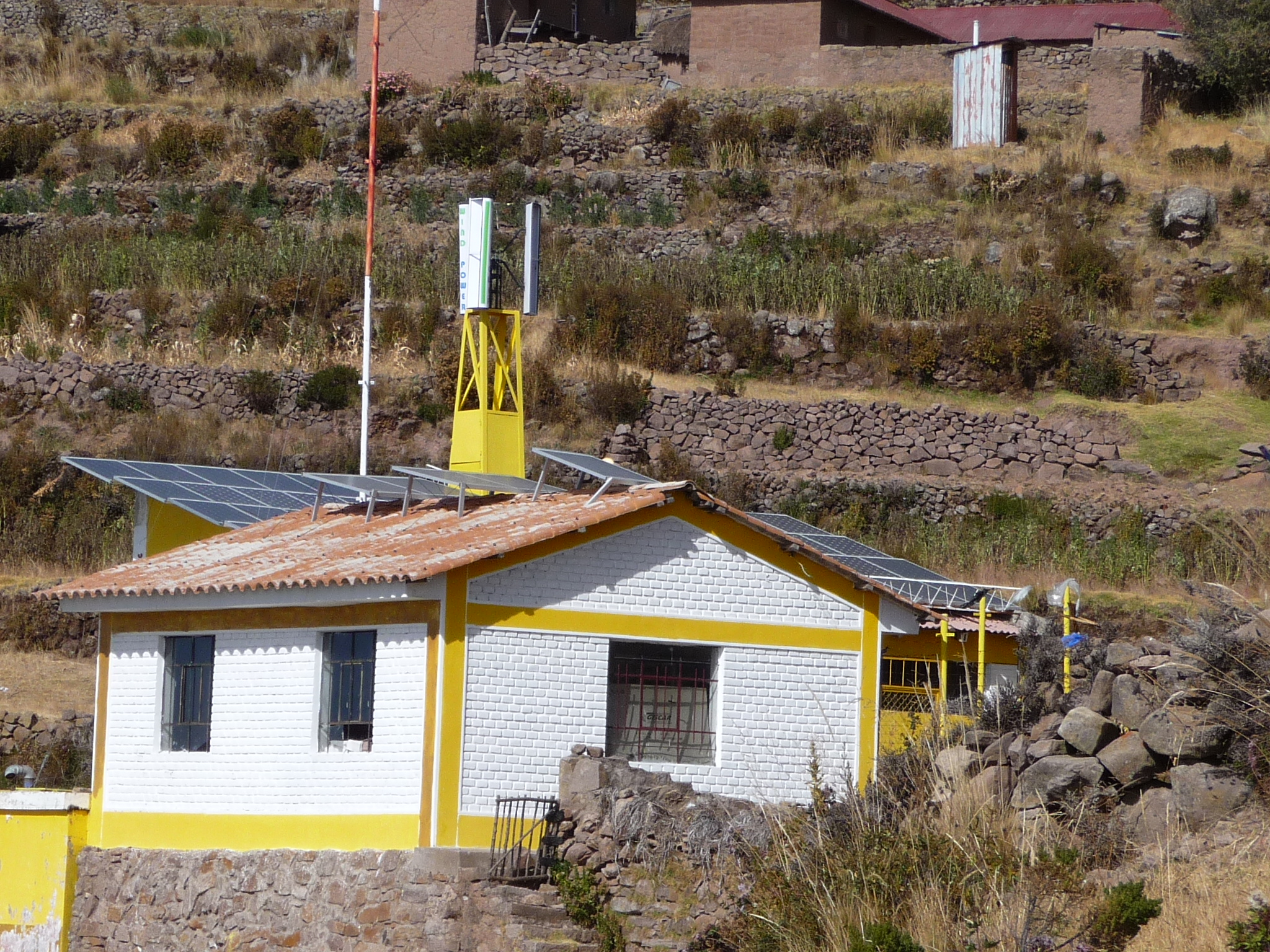
This is the center of one of the small towns. They have an entire array of solar panels here.
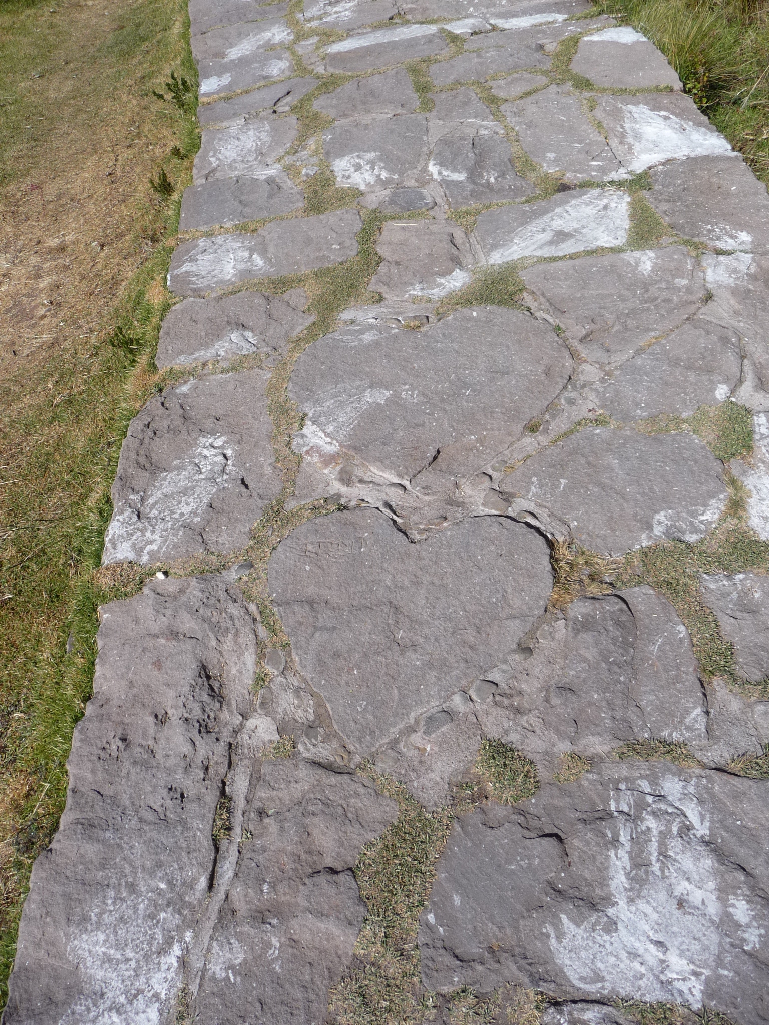
As I walk along the path, I find two heart shaped stones.
And another gate … another community boundary.
Eventually, after an hour-long hike, we reach our first destination.
We began hiking at about 8:30 a.m., and it is now about 9:20 a.m.
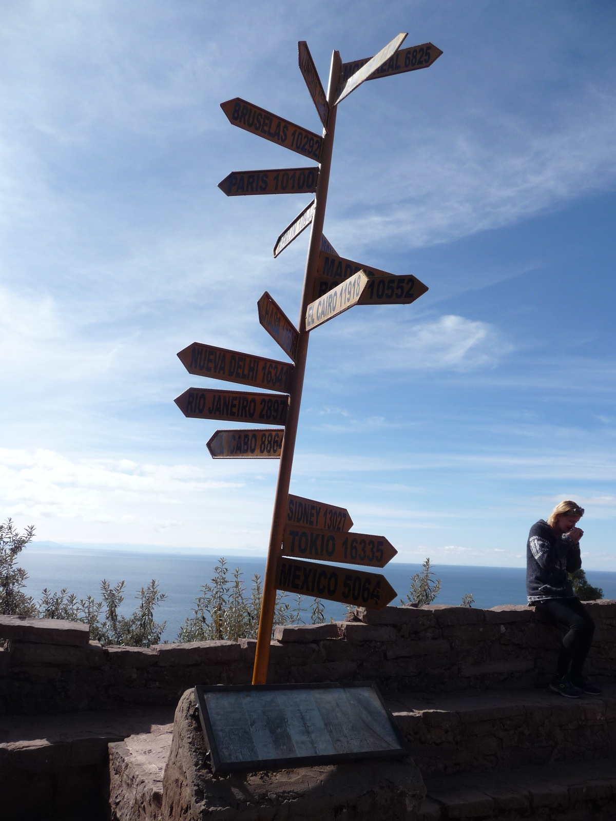
These signposts point toward various cities in the world, giving their distance (from here) in kilometers.
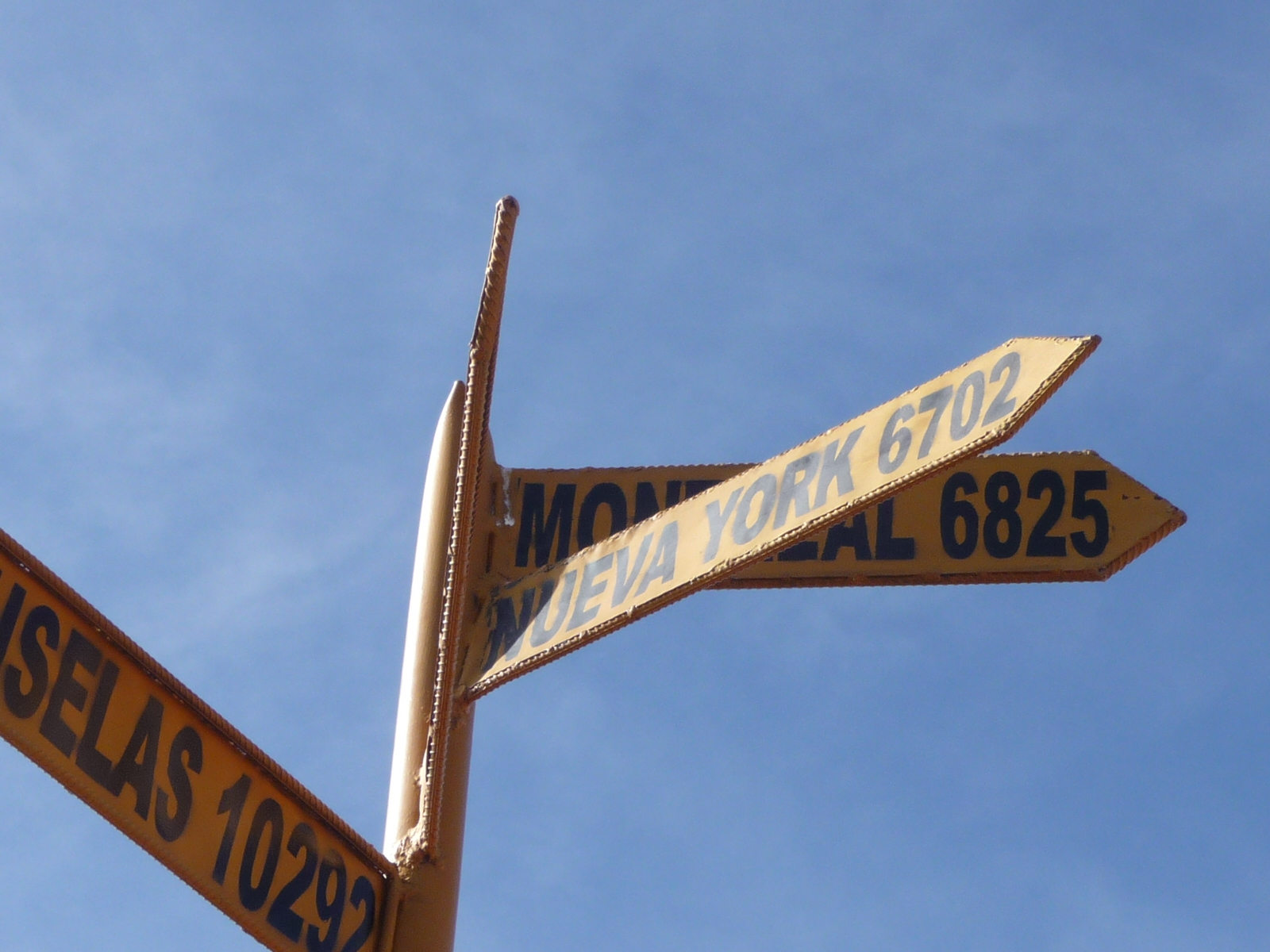
New York is “that way”, at a distance of 6702 kilometers away.
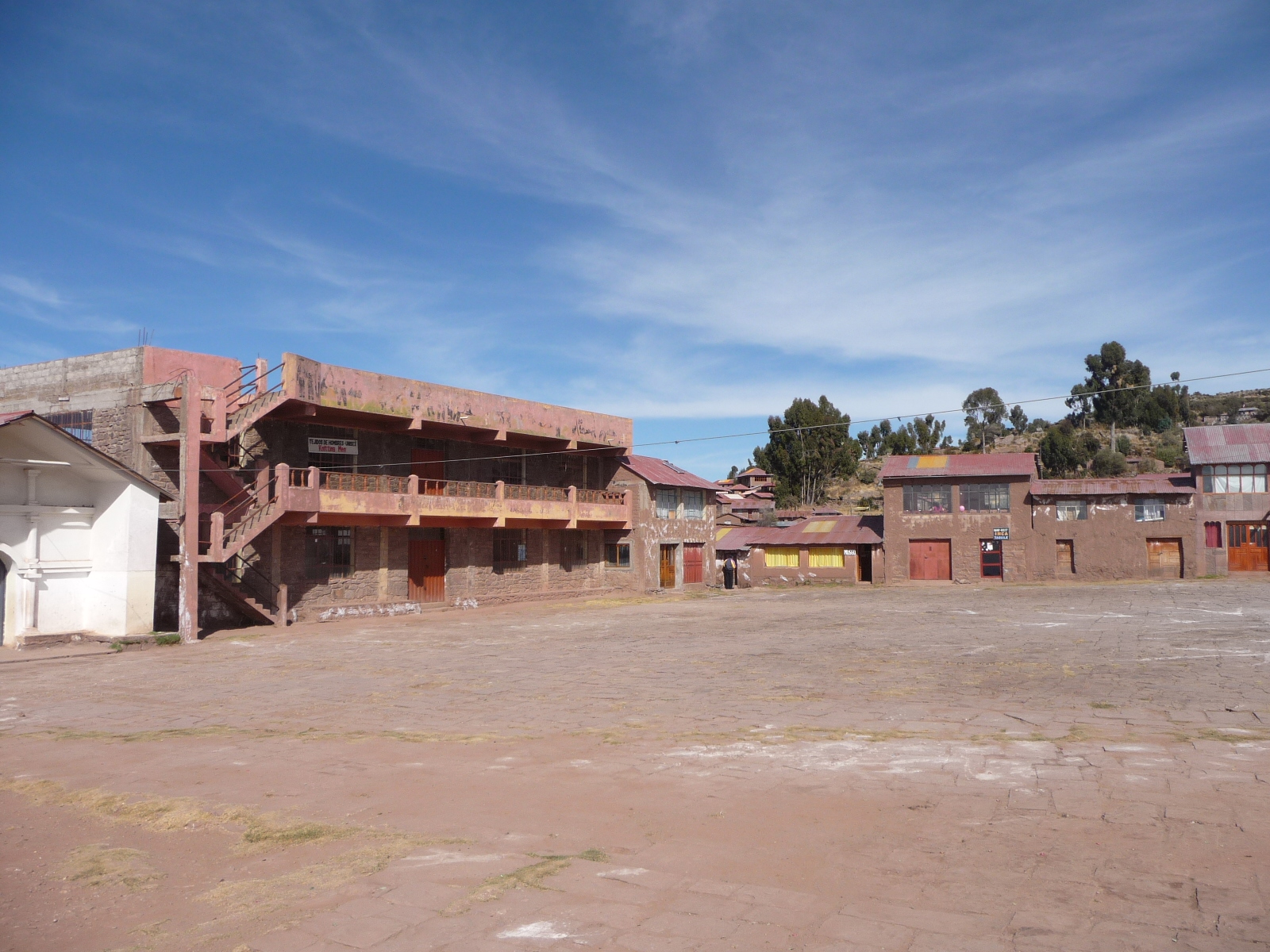
We are in the town square of one of the island communities.
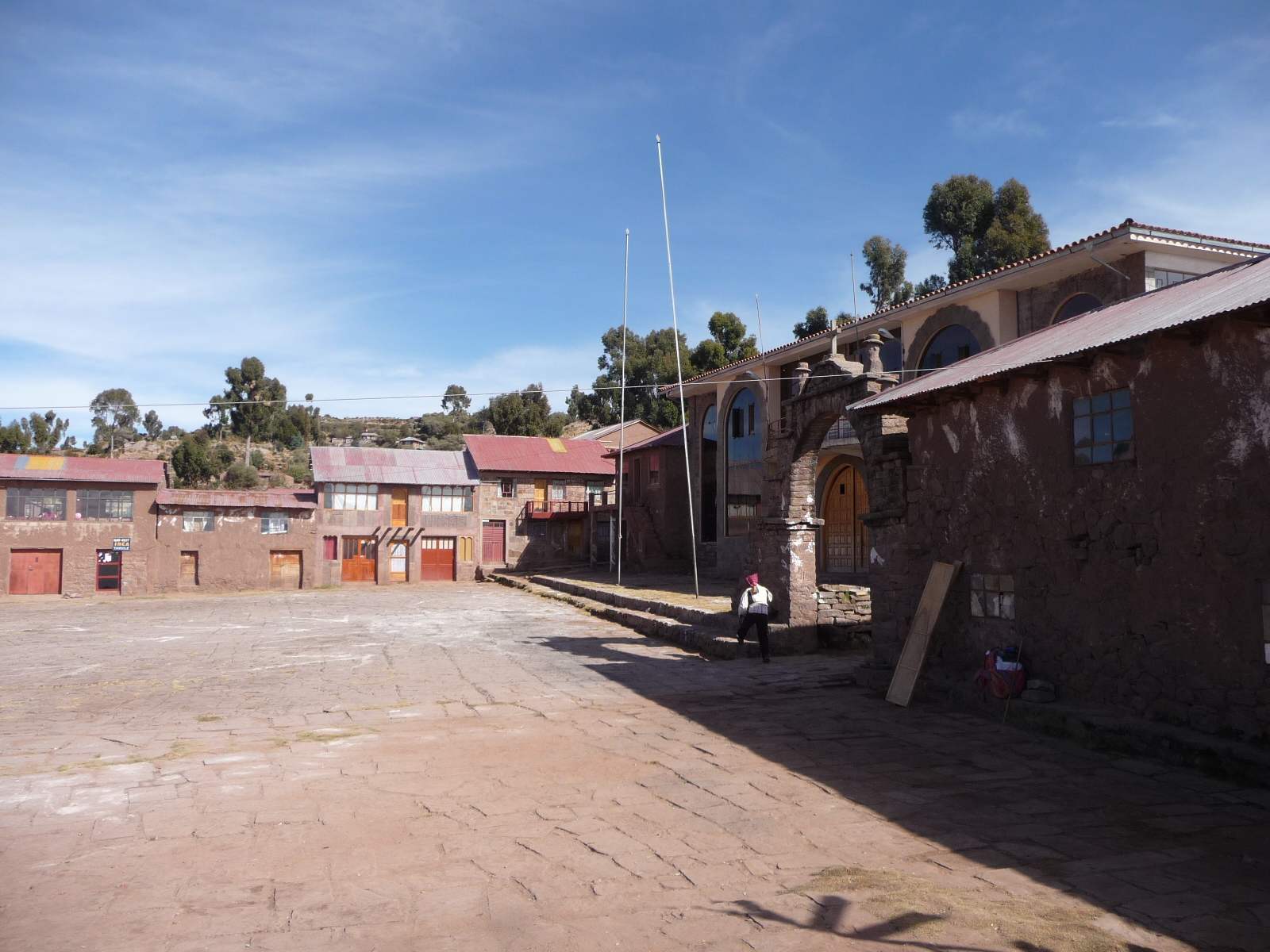
Another view around the square.
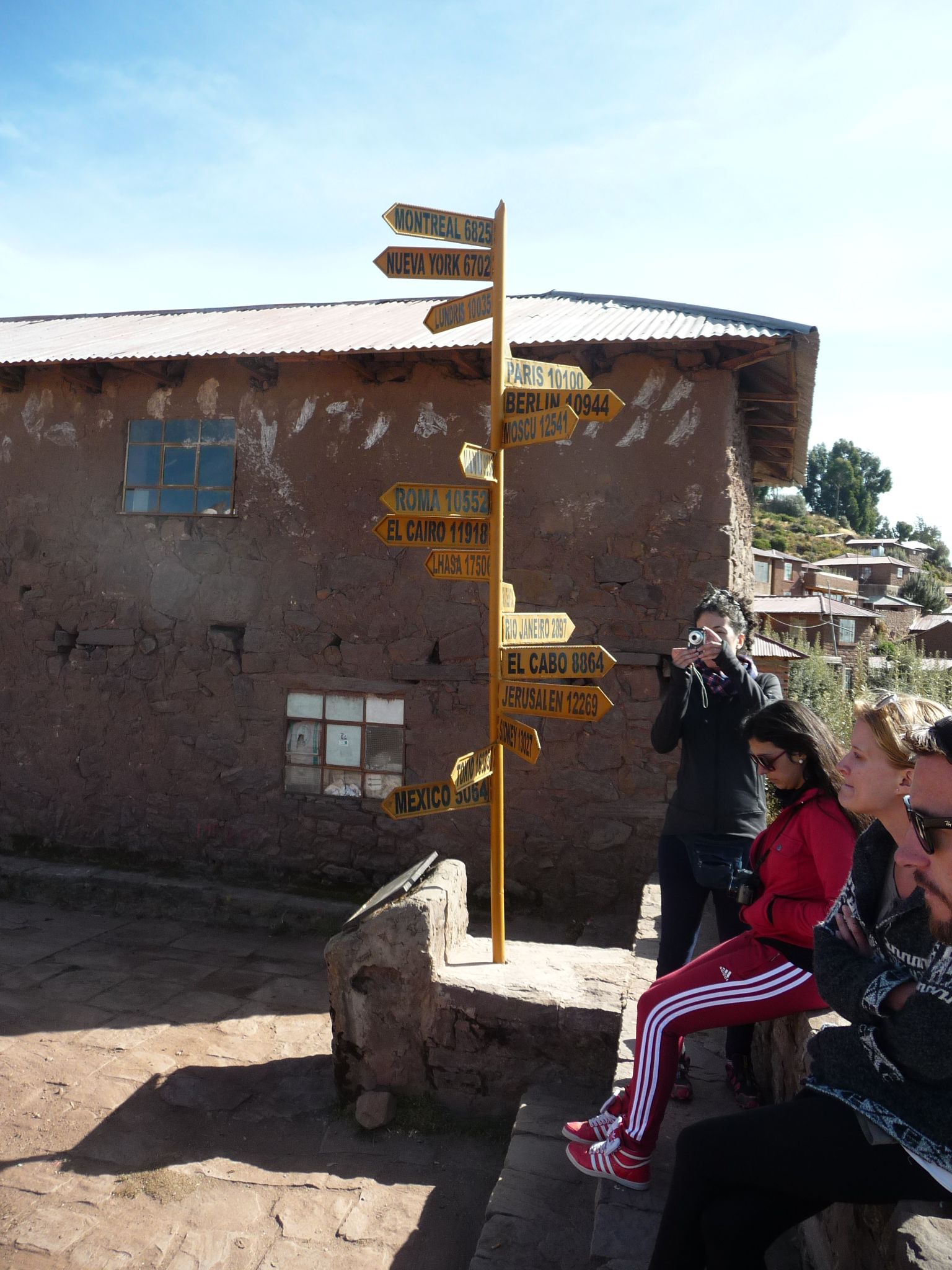
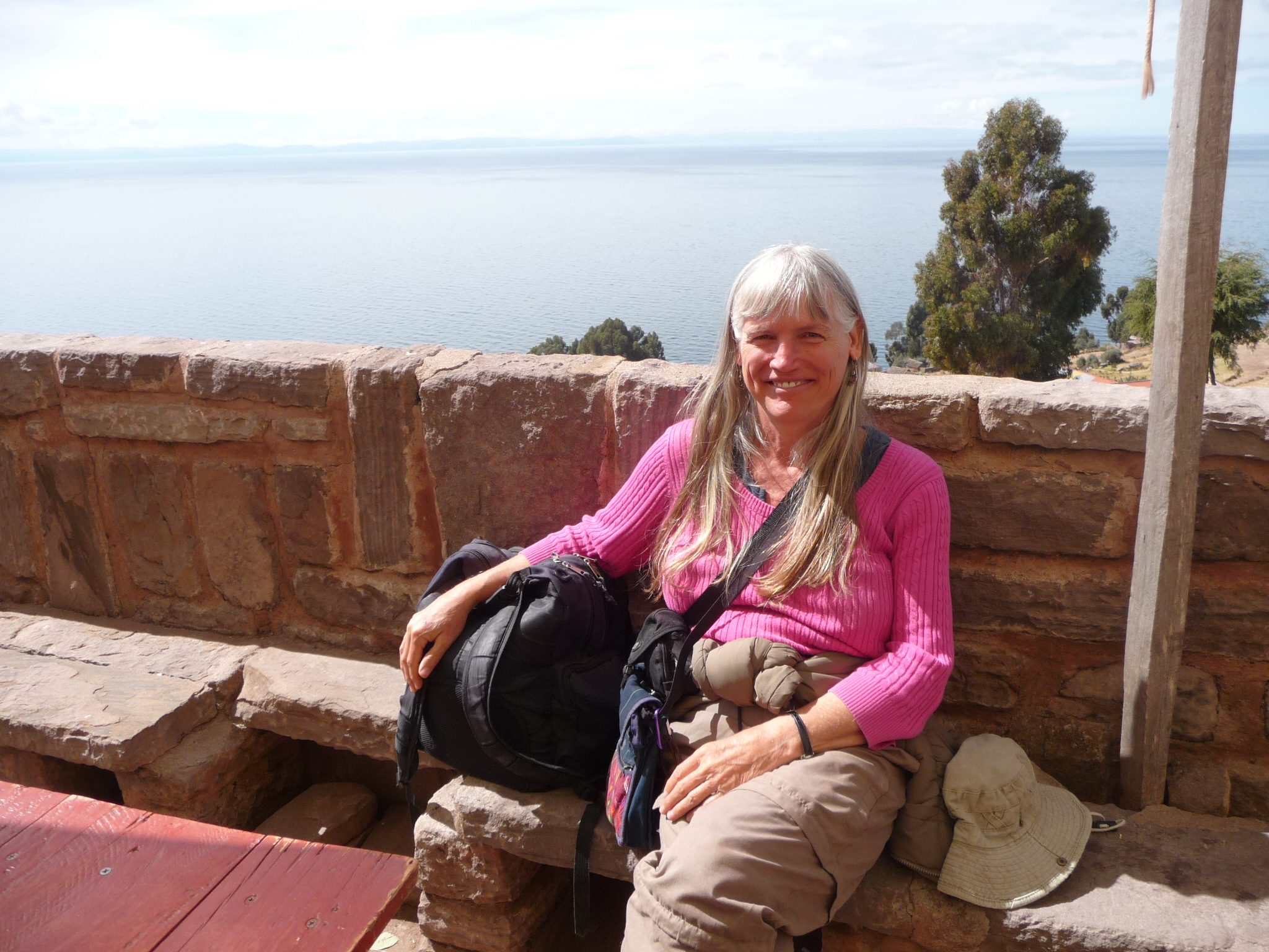
Some of my group, sitting by the signpost. We are waiting for the others to arrive. Some of us arrived at least 20 or 30 minutes ahead of the rest of the group.
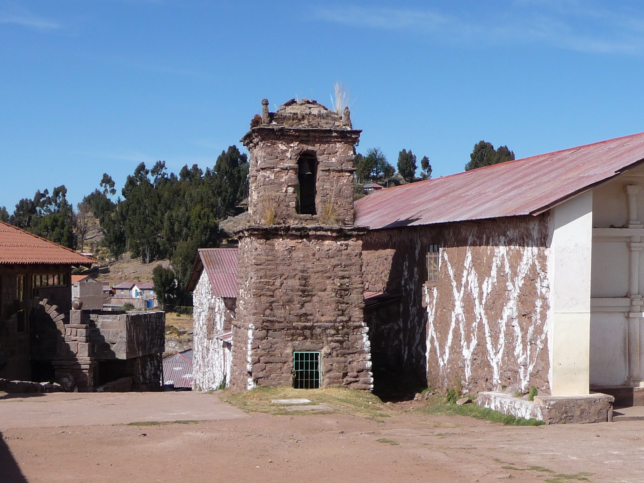
An old bell tower on one side of the plaza.
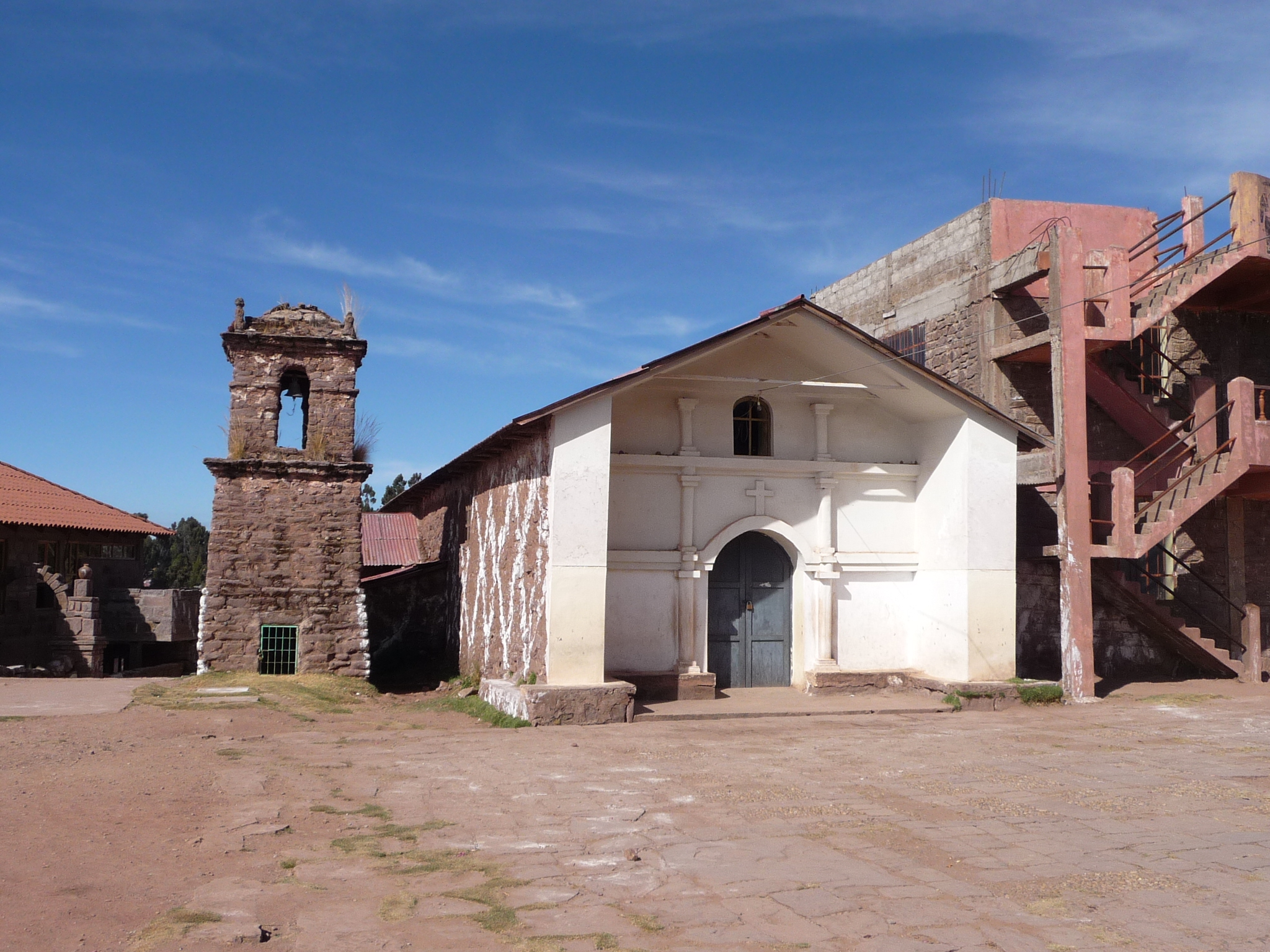
The tower is next to a tiny church.
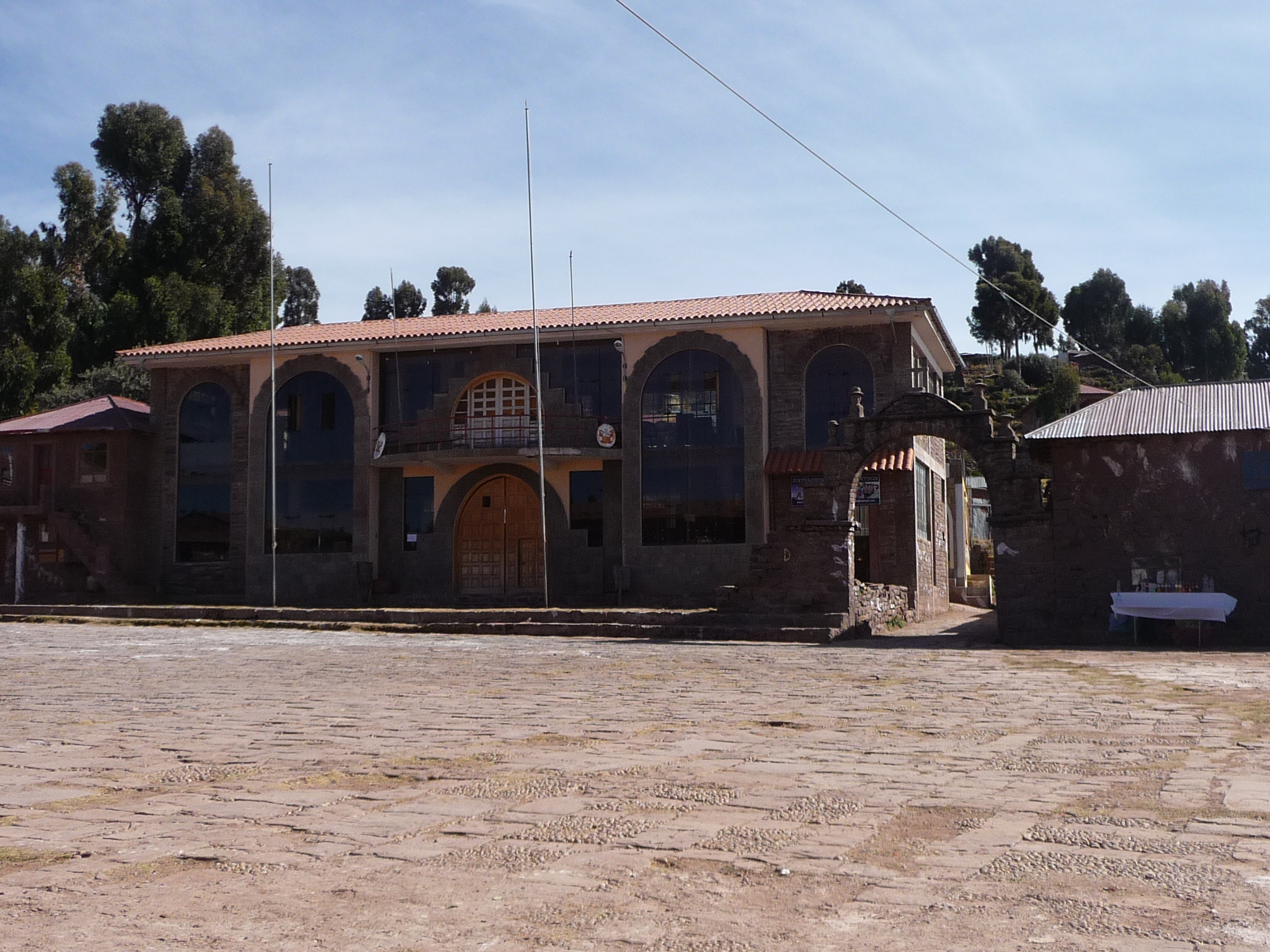
Another building on the plaza.
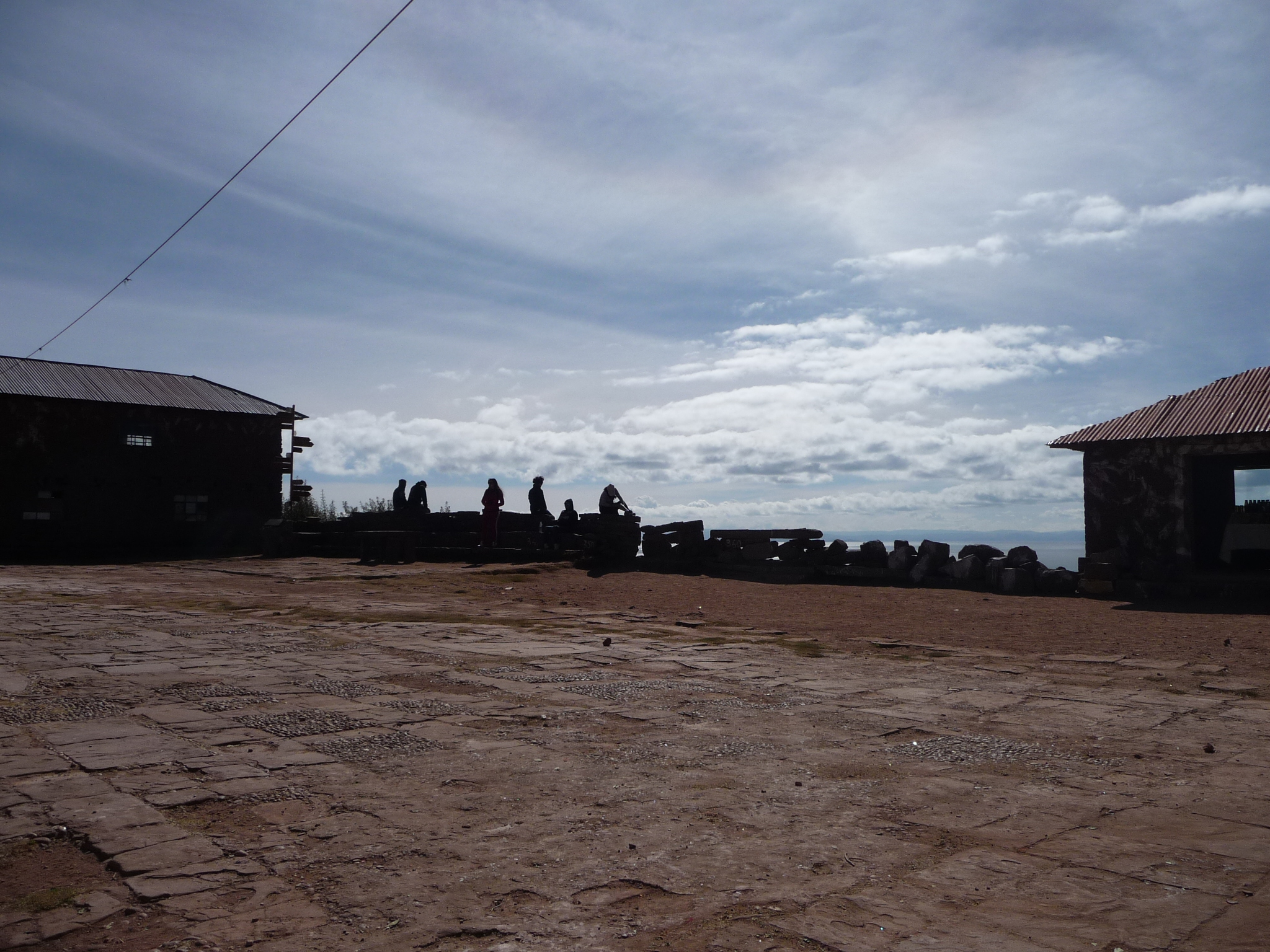
That is some of my group in the shadows, still waiting …
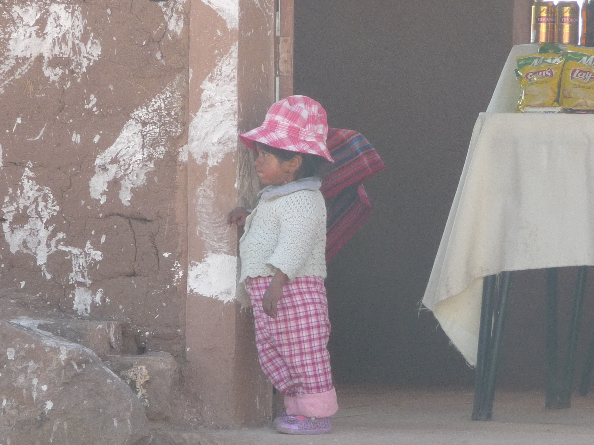
I break the rules by taking the photo of a young child without permission.
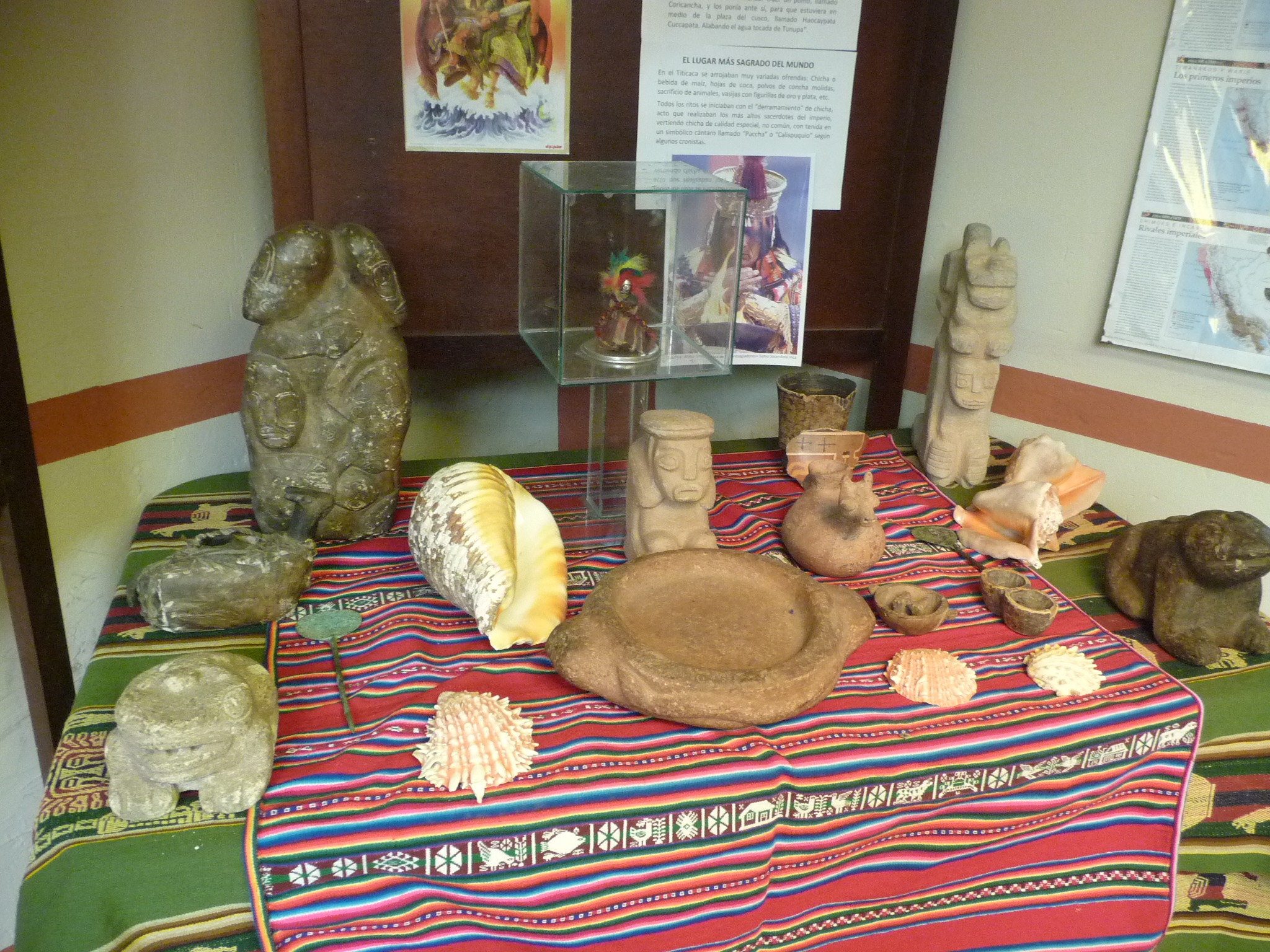
Soon, I decide to take a tour of a tiny museum on the plaza. I pay five soles (about $2.00 US) for a tour. The man who runs the place only speaks Spanish. I am surprised by how well I can converse with him. I don’t understand everything, but I understand enough.
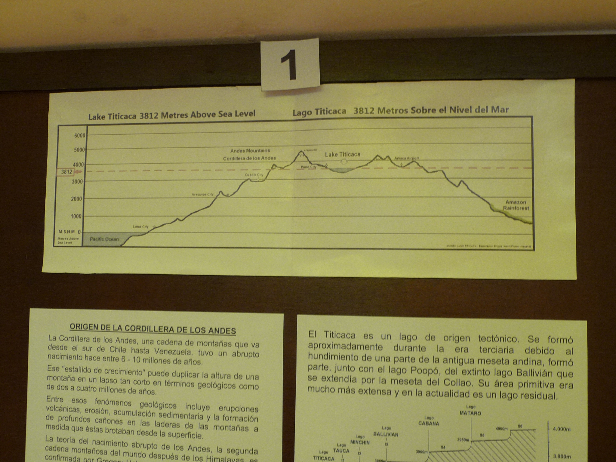
The top diagram shows the elevation of the mountains on both sides, with Lake Titicaca in a tiny bowl at the top of the mountain. The pacific ocean is on the left and the Amazon jungle on the right.
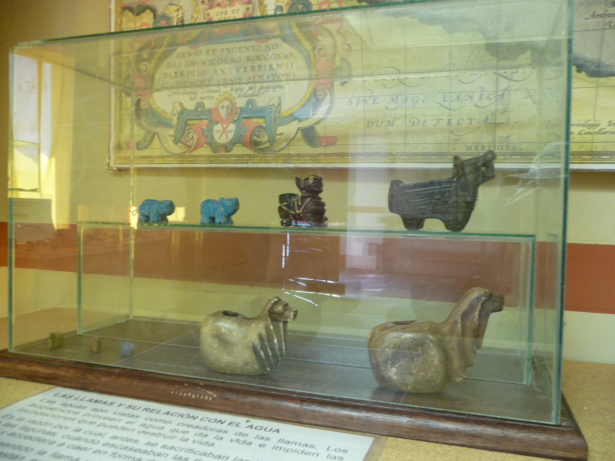
The man tells me these are ORIGINAL artifacts found in this region.
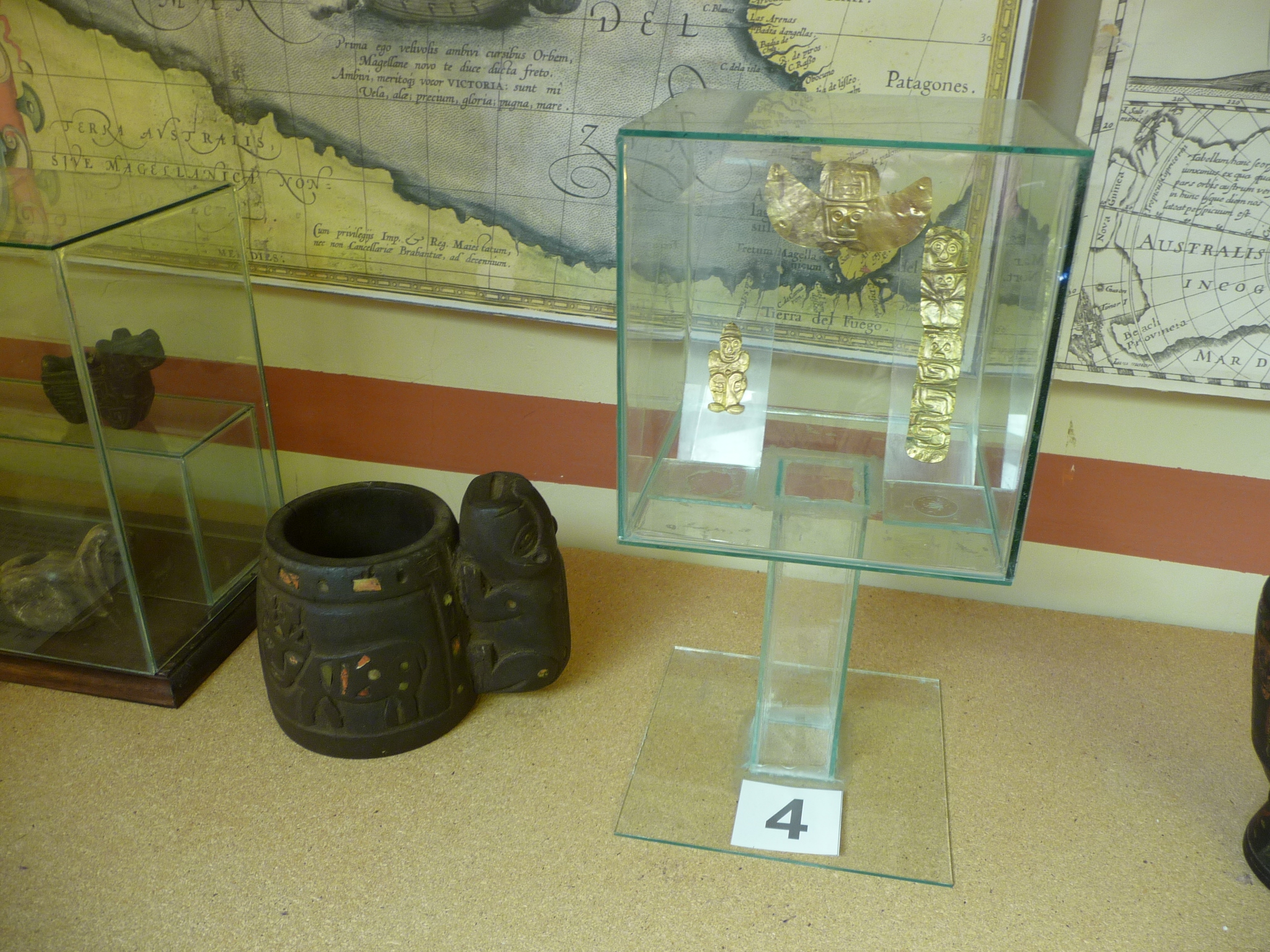
More original artifacts. I love how casual this tiny museum is about displaying and guarding these precious items.
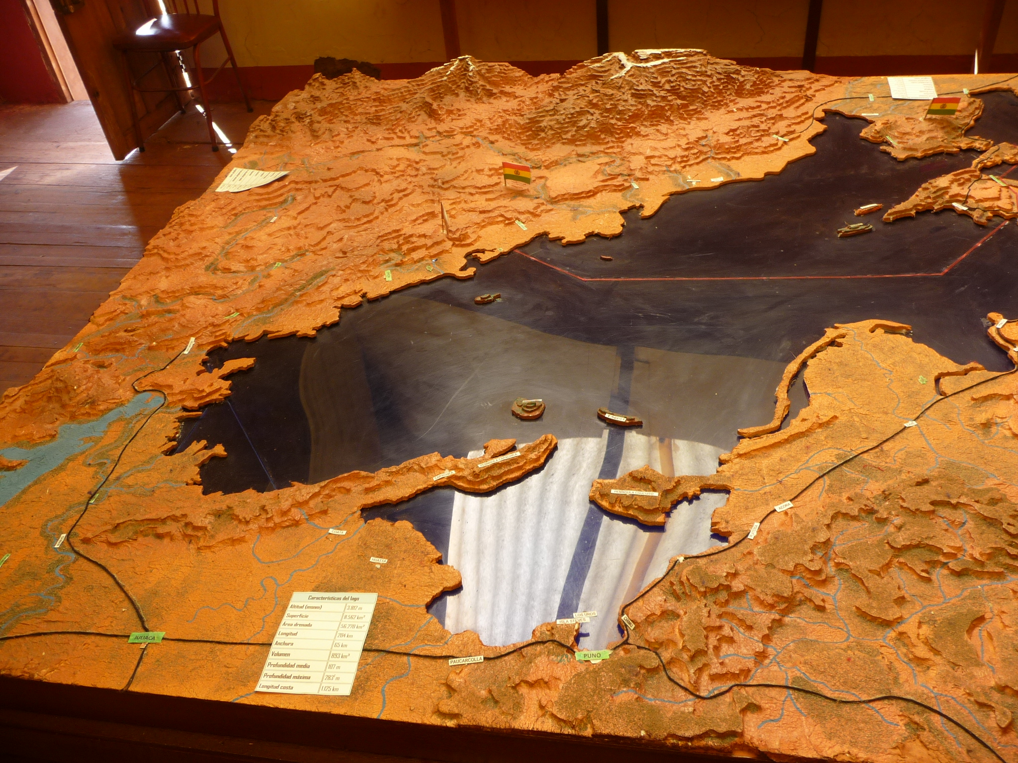
A three-dimensional map of Lake Titicaca. The glass is the lake itself. At the bottom of the map (from this perspective) is the city of Puno, and the large Puno bay through which I have traveled. The Uros floating island that I visited yesterday was on the way out of the bay, just before that left finger of land that forms the left side of the bay.
Amantani Island is that island on the other side of that left finger of land. Taquile Island (where I am now) is the other island, near the right peninsula that sticks out to form the right side of the bay.
The “Island of the Sun” is barely visible at the far upper right end of the lake.
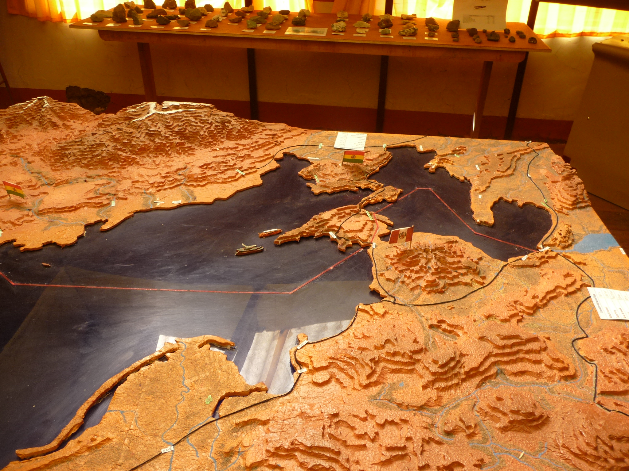
This photo shows that other end. Copacabana is out near the end of that large protrusion of land (between the two separate bodies of water). The “Island of the Sun” is the island to the left , out in the middle. The other nearby island is the “Island of the Moon.”
If you click and expand this map, you can see it much more clearly, and you can also see the red line that separates the Peru side from the Bolivia side.
More authentic artifacts from the ancient inhabitants.
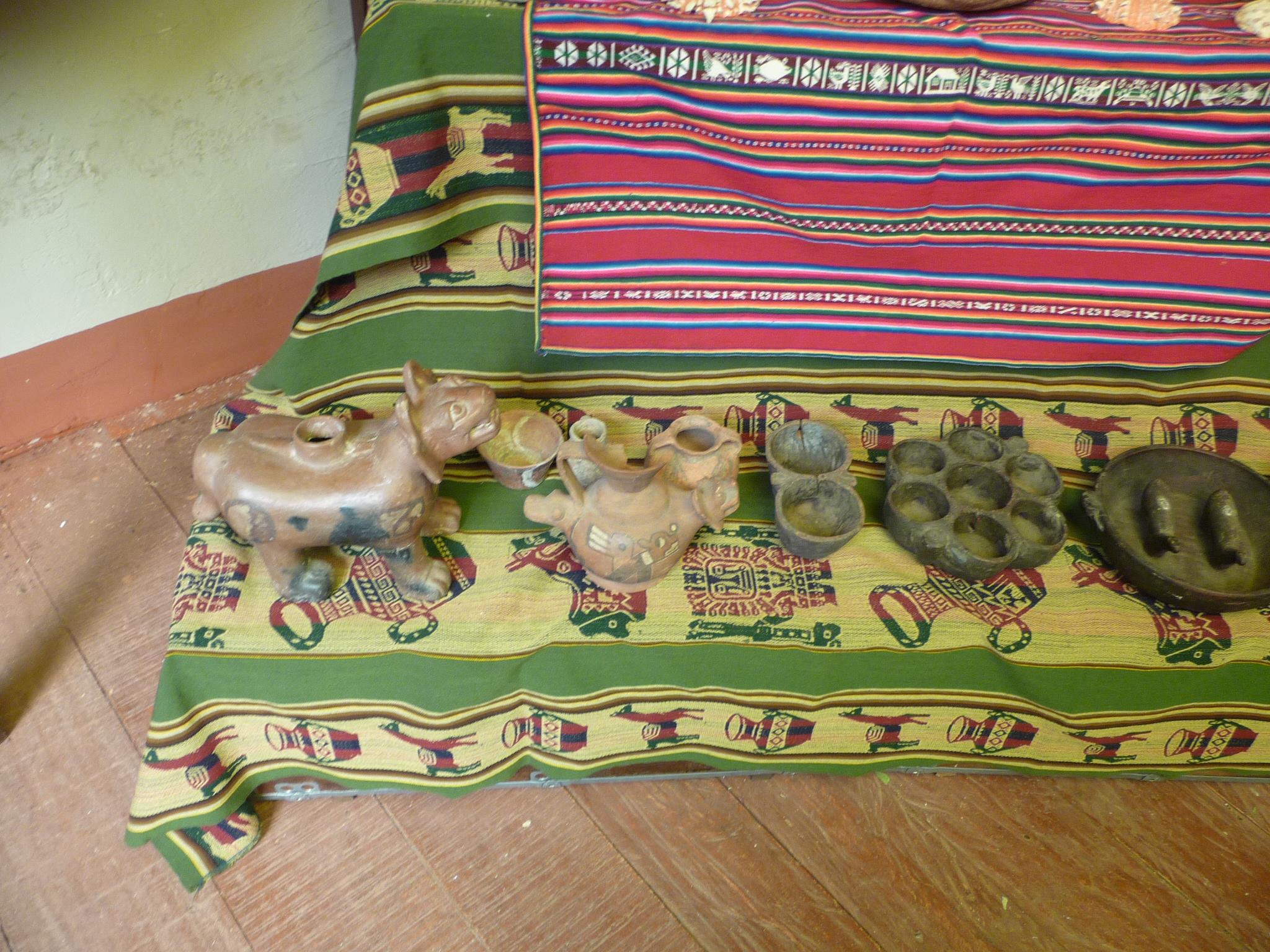
And still more. They are not even behind glass. The guide lets me touch a few things.
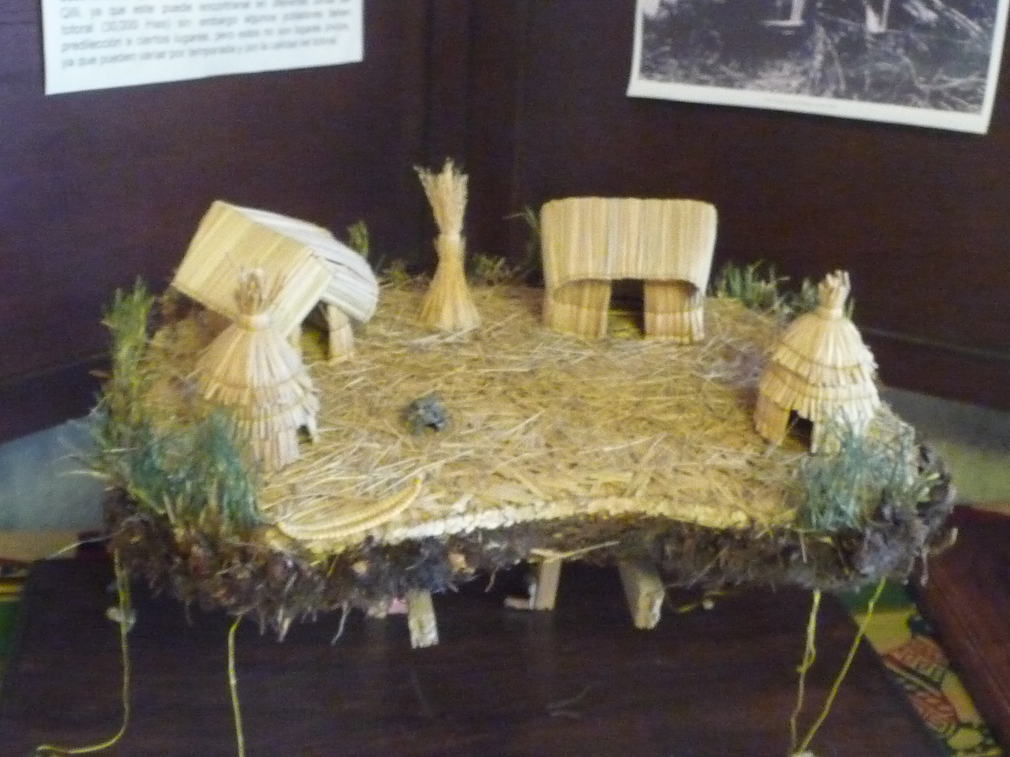
A much better scale model of one of the Uros floating islands. That dirt beneath is so filled with roots that it is very light and floats.
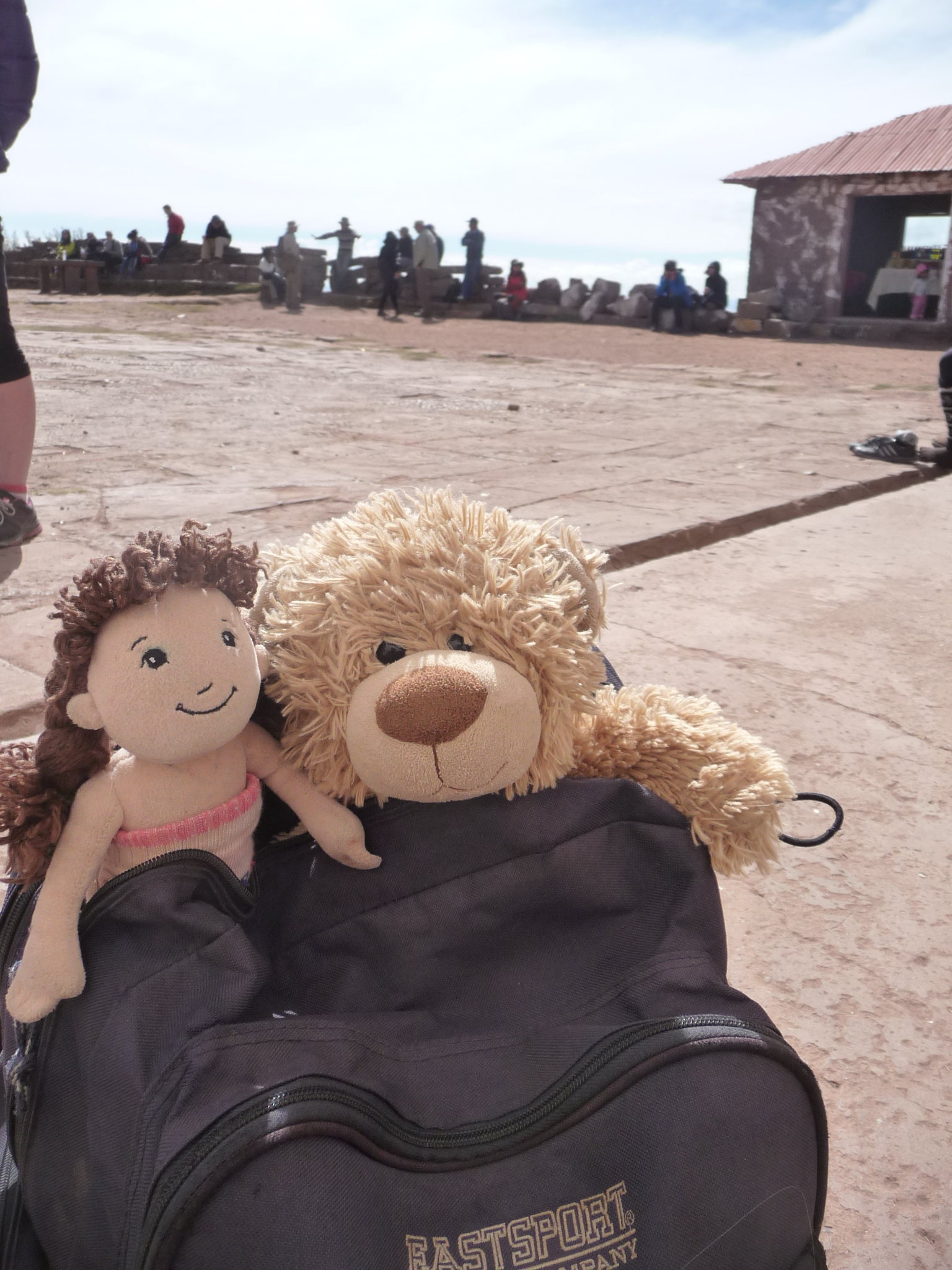
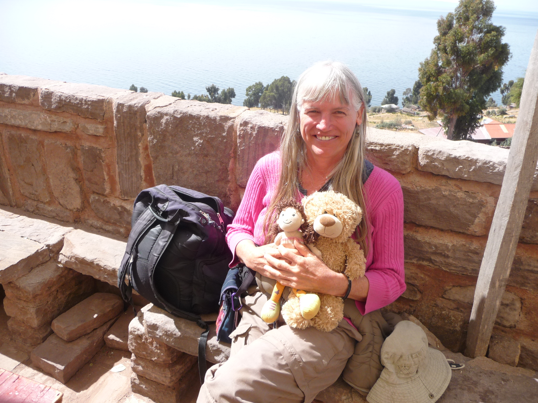
Bobby-bear and Brenda-doll, enjoying the plaza.
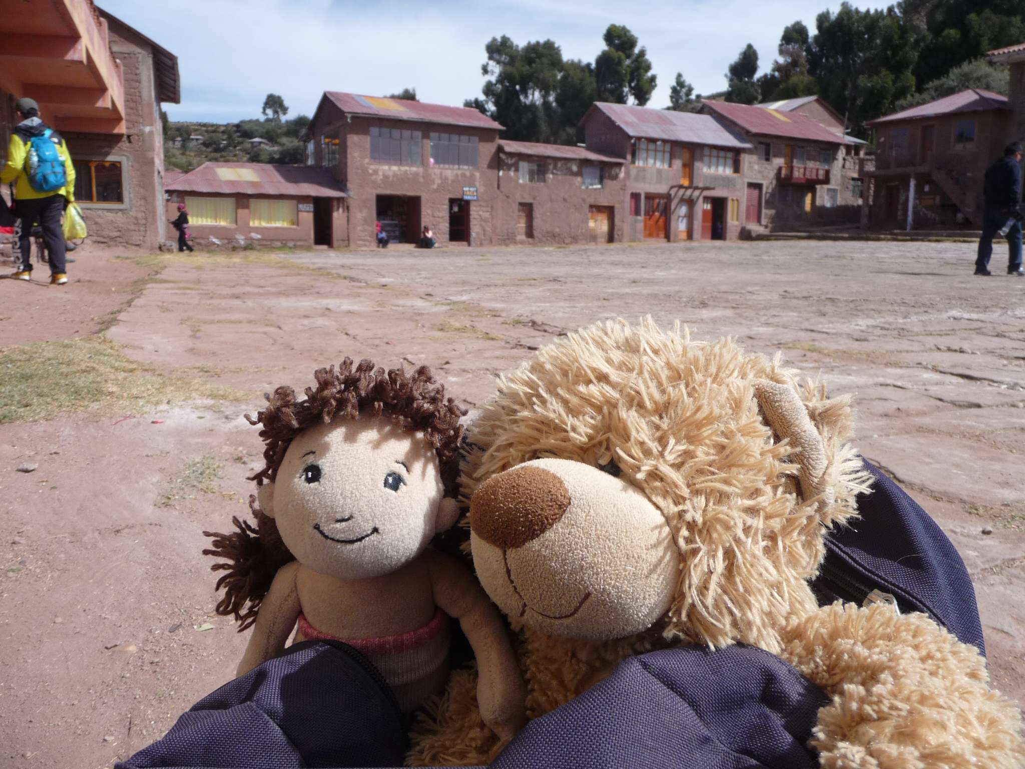
They are having a lot of fun as tourists. I am sure there are not many bears and dolls that have been to so many exciting places.
Soon, our tour group gathers in a small community restaurant – one where different families take turns cooking and earning the profits. After a group meeting, we eat lunch together. (The lunch is not included in the tour).
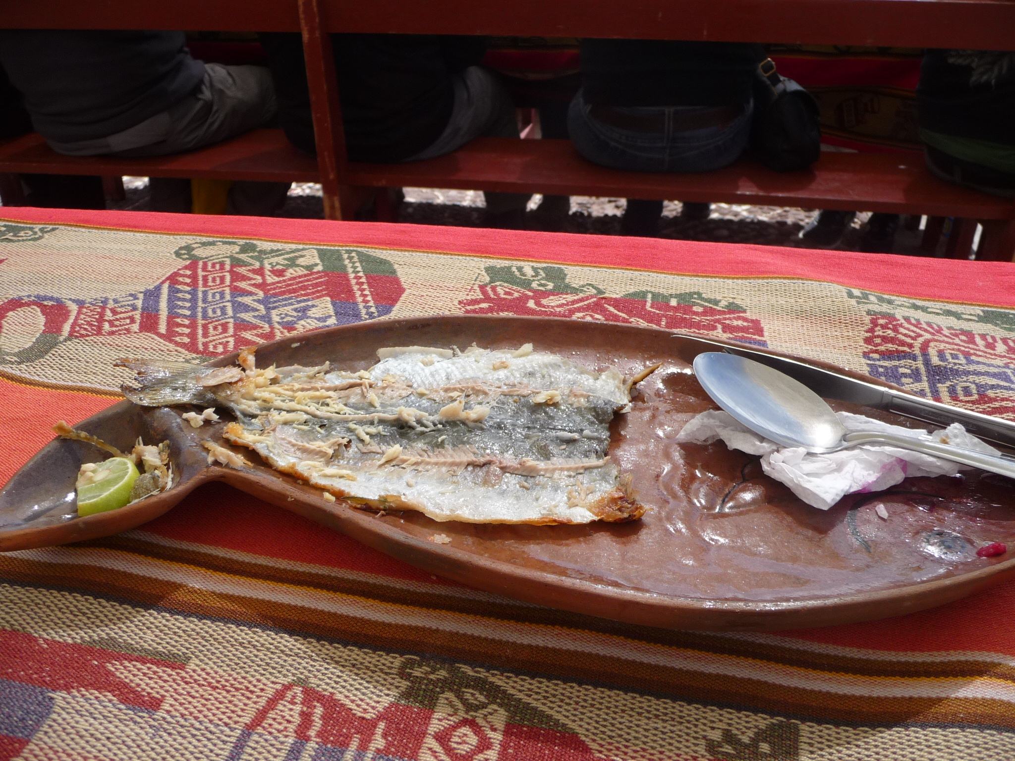
We are given two menu choices – either trout or an omelette, with rice, fries, beets, and tea. I order the trout. It is yummy. This is the remainder of my plate, with just the fish skin left behind. I am still a little hungry after eating. The meal portions were not especially huge.
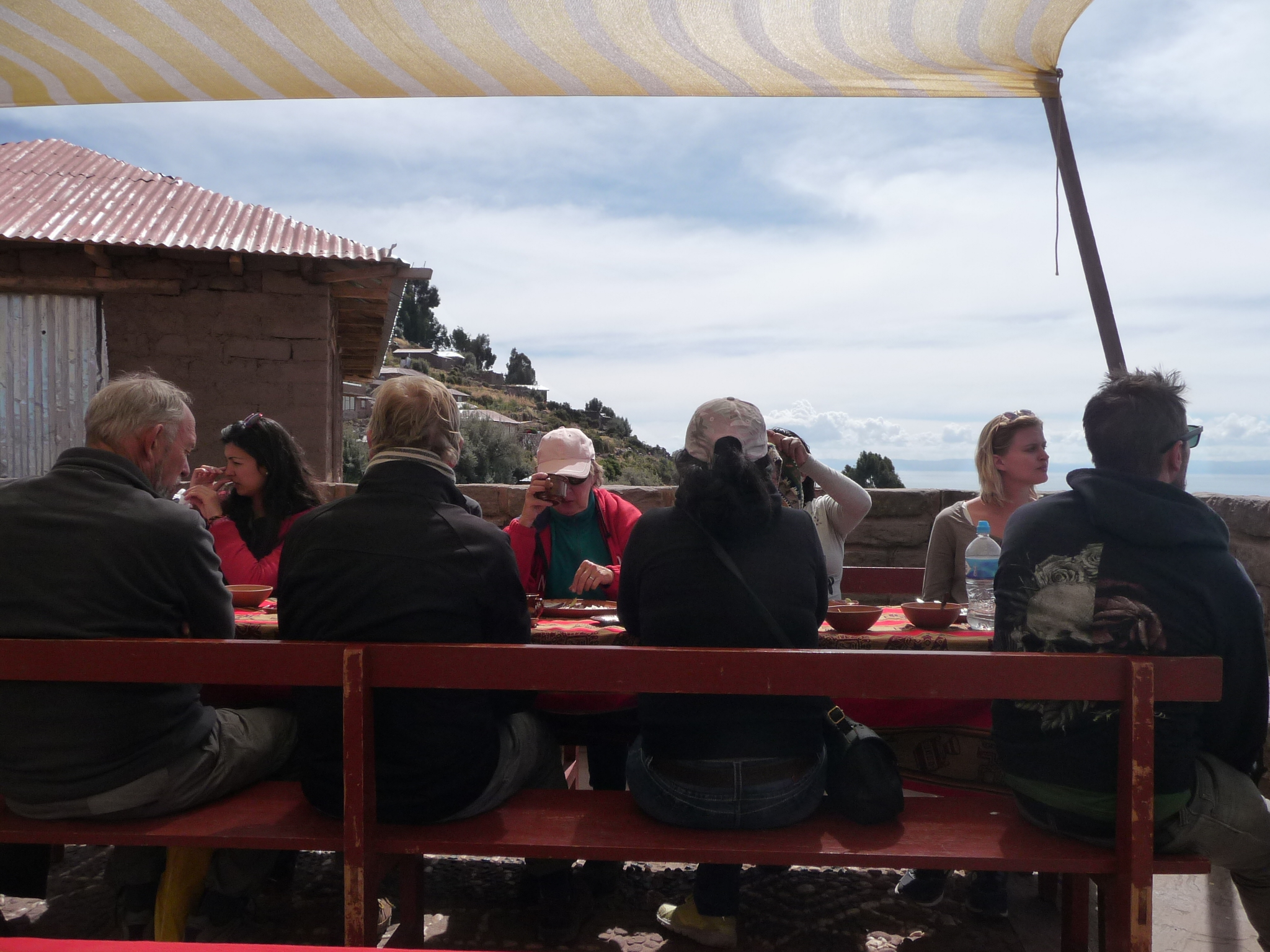
Some of my group at the outdoor patio lunch table.
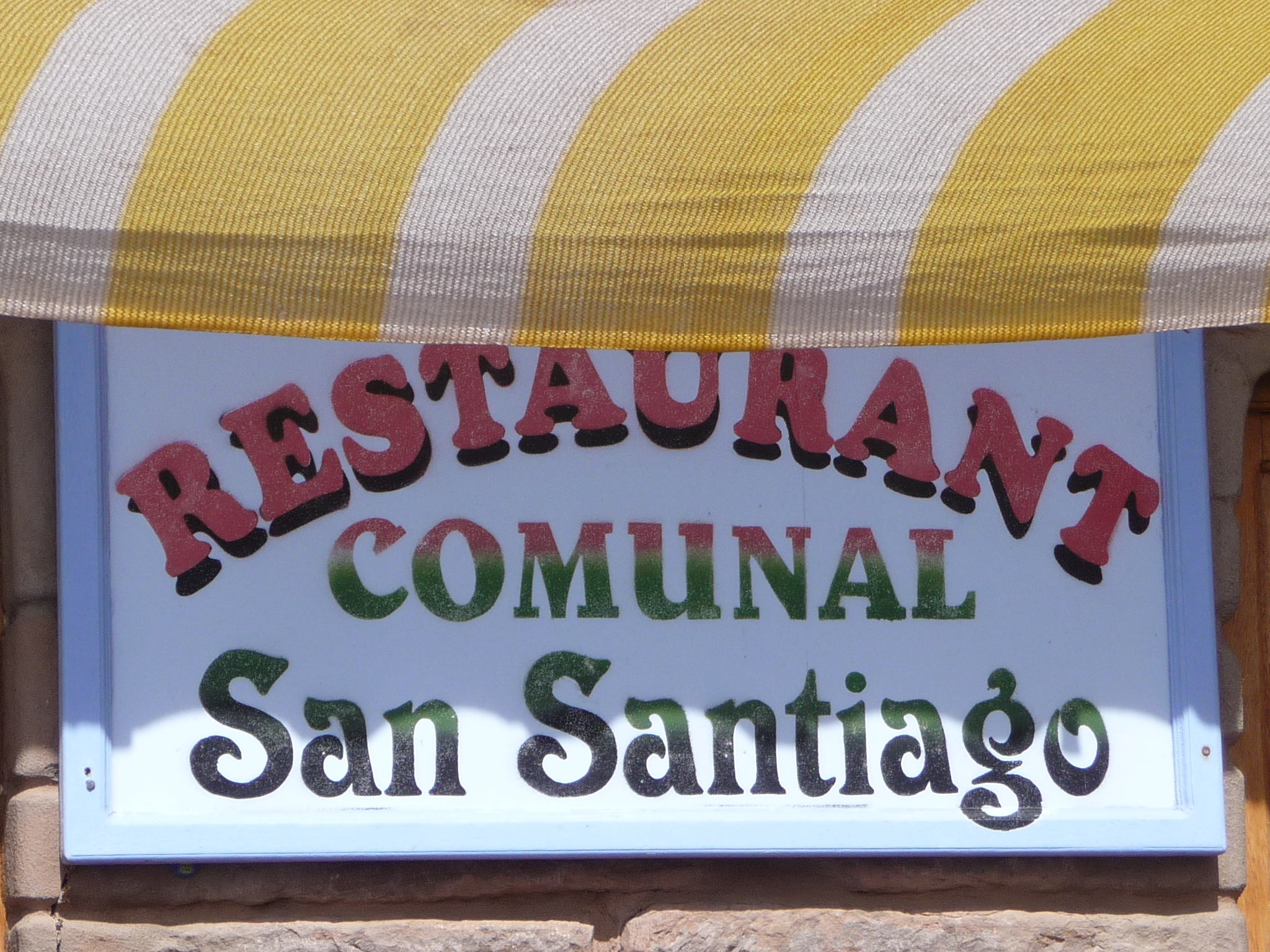
The restaurant sign “Communal Restaurant Saint Santiago”. I am guessing this little community is called “San Santiago” … but I do not know for sure.
As I stare at this sign, it seems confusing to see the “San” twice. The word “Santiago” is already an abbreviation meaning Saint James. So this name is really “Saint Saint James” … interesting.
Me, feeling satisfied after lunch, taking a short rest.
And Bobby and Brenda wanted a photo too.
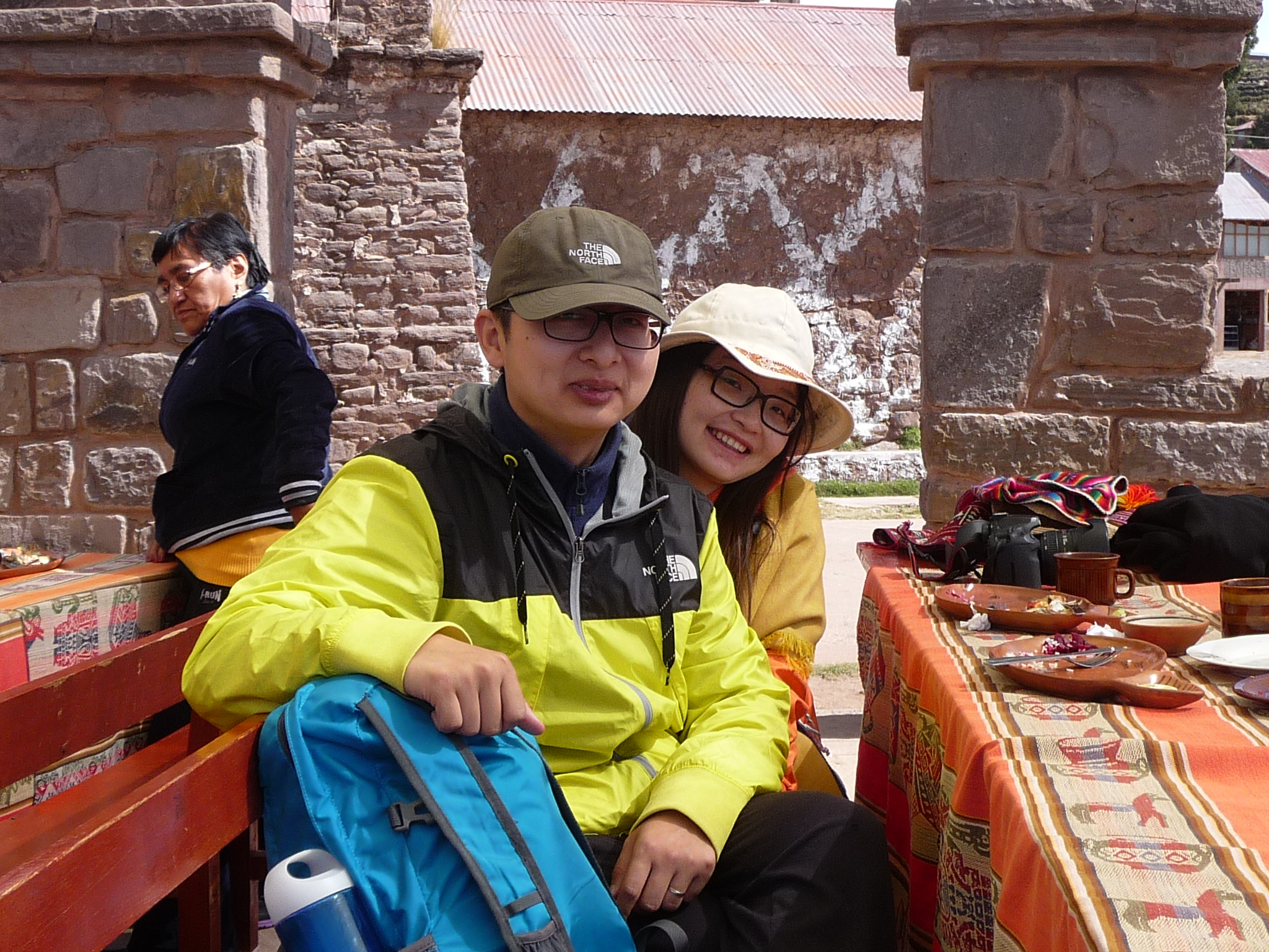
My friends Joet and Lie. They are such a cute couple. I just find out today, that even though they are from China, they have been living in France for seven years.
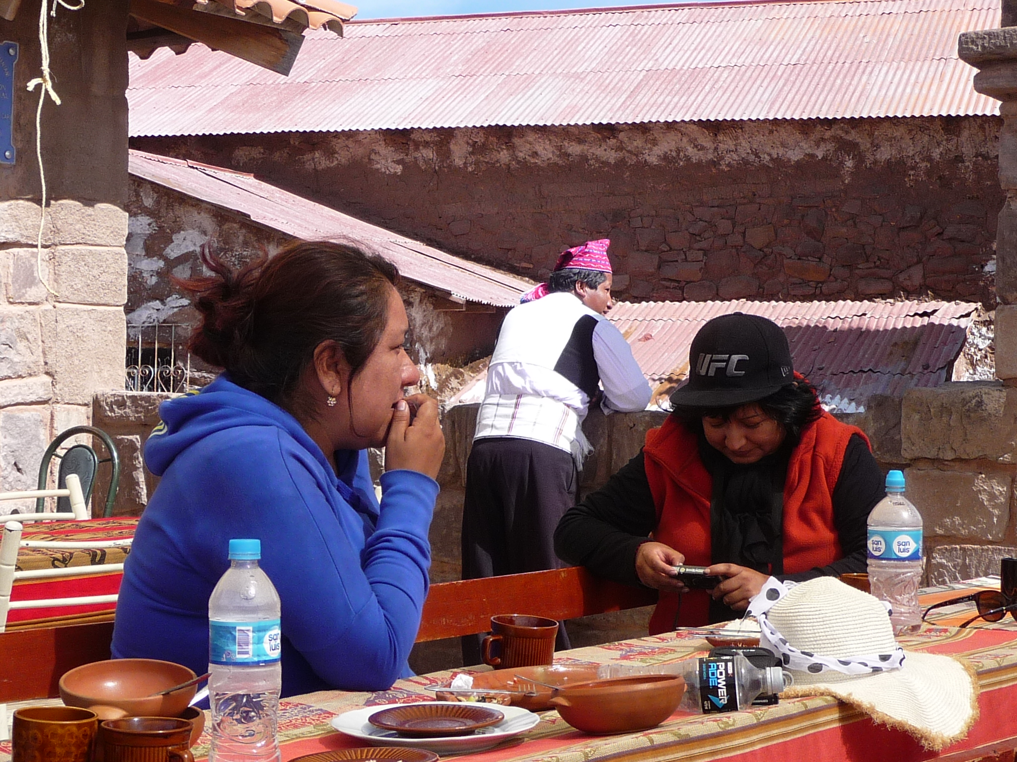
More of my new friends. They are part of a large group of Spanish people – all extended family traveling together. I have had fun starting to make friends with several of them. This girl in the blue is named Lucy.
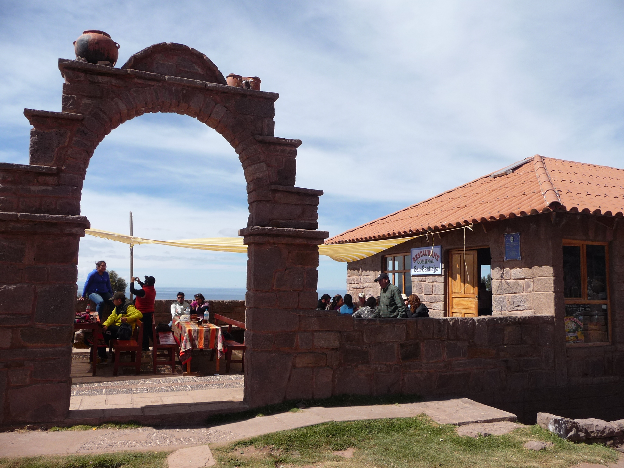
Looking through the arch that makes up the entrance to our restaurant. That is part of my group still inside.
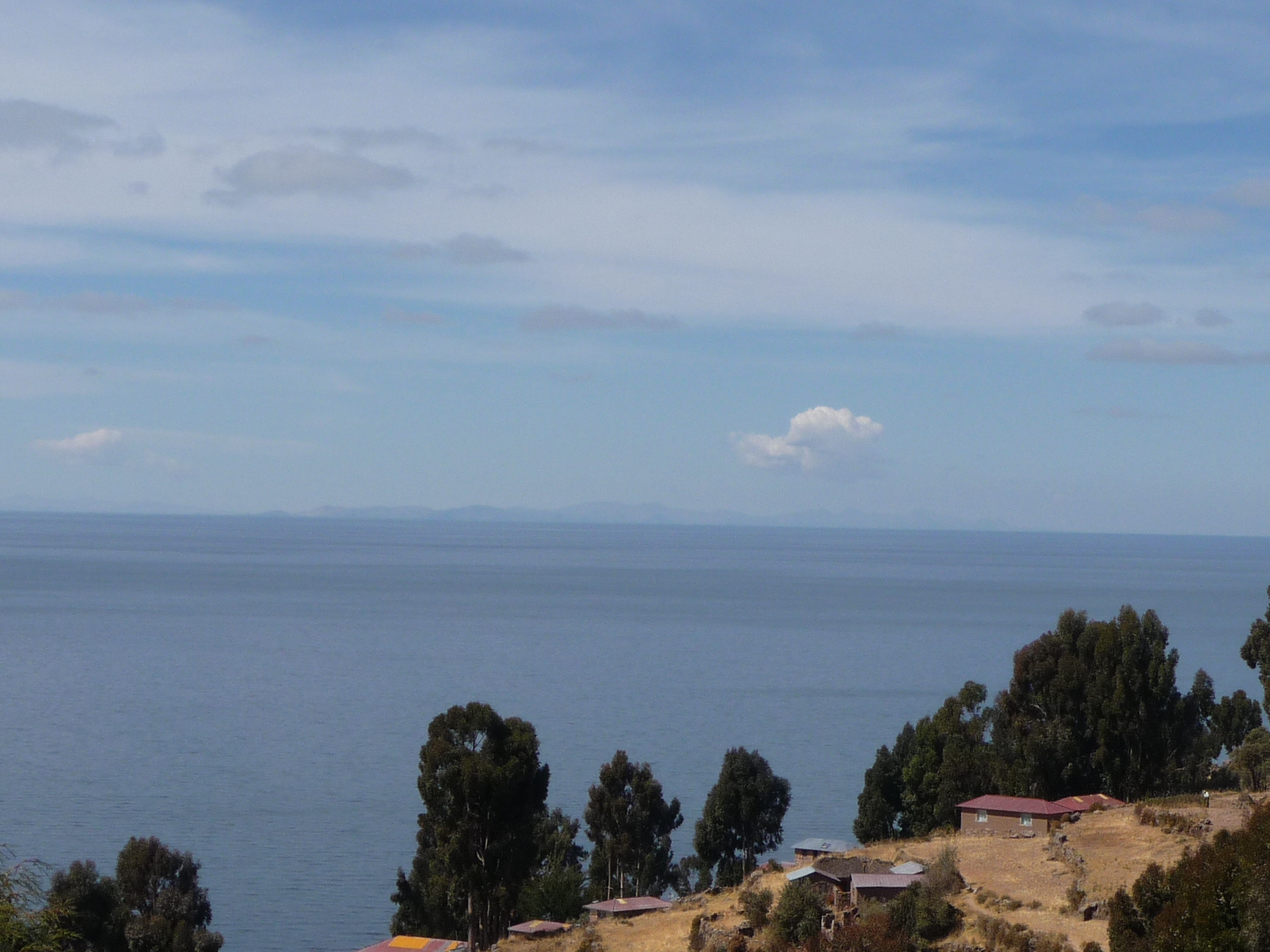
Looking out over Lake Titicaca.
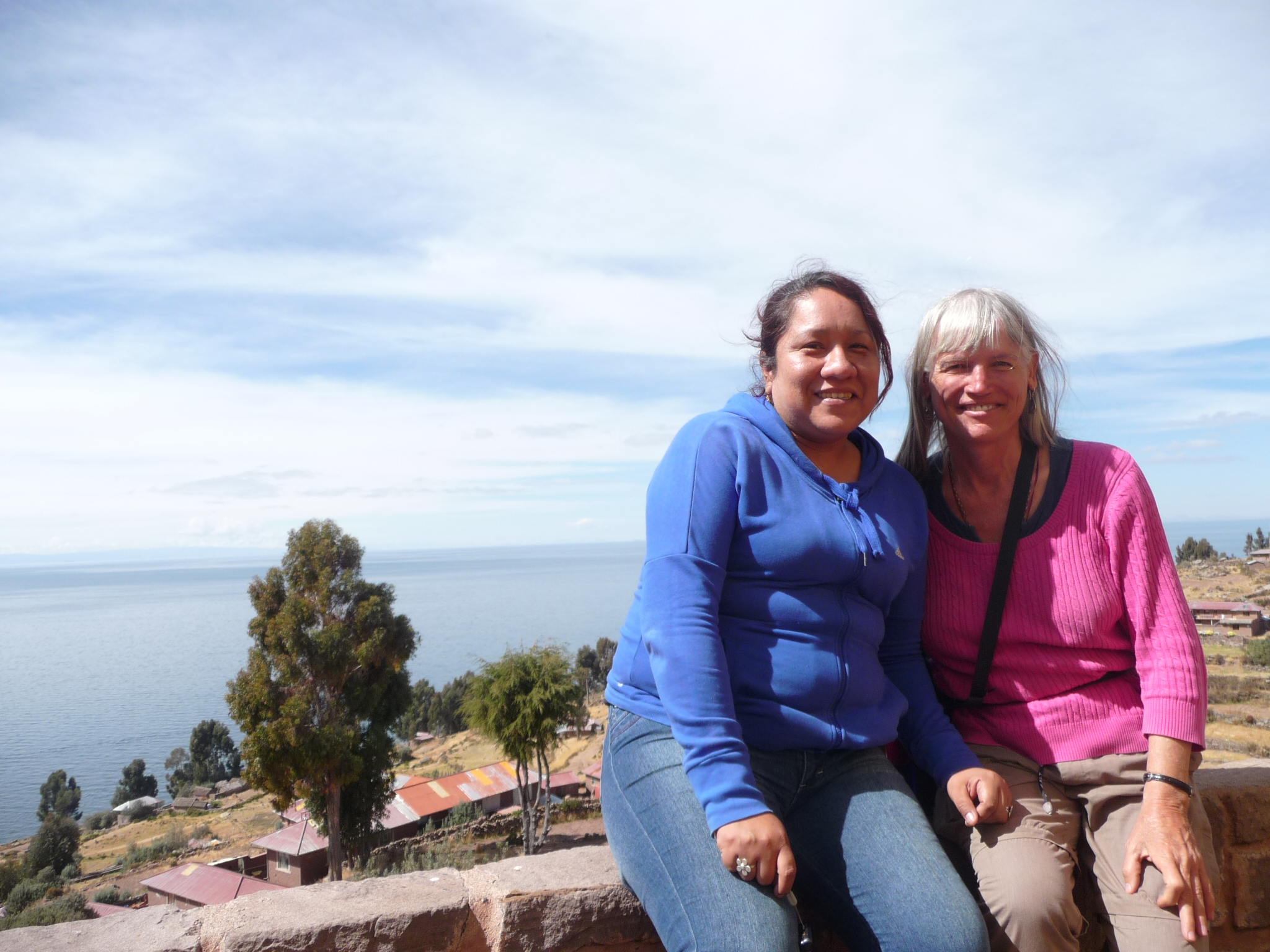
Me, with Lucy
As we resume hiking, I take a photo of this interesting house. They are playing very loud music. I am also curious by all the white paint on walls and fences. The last half hour of the trail was covered in such splotches of white paint.
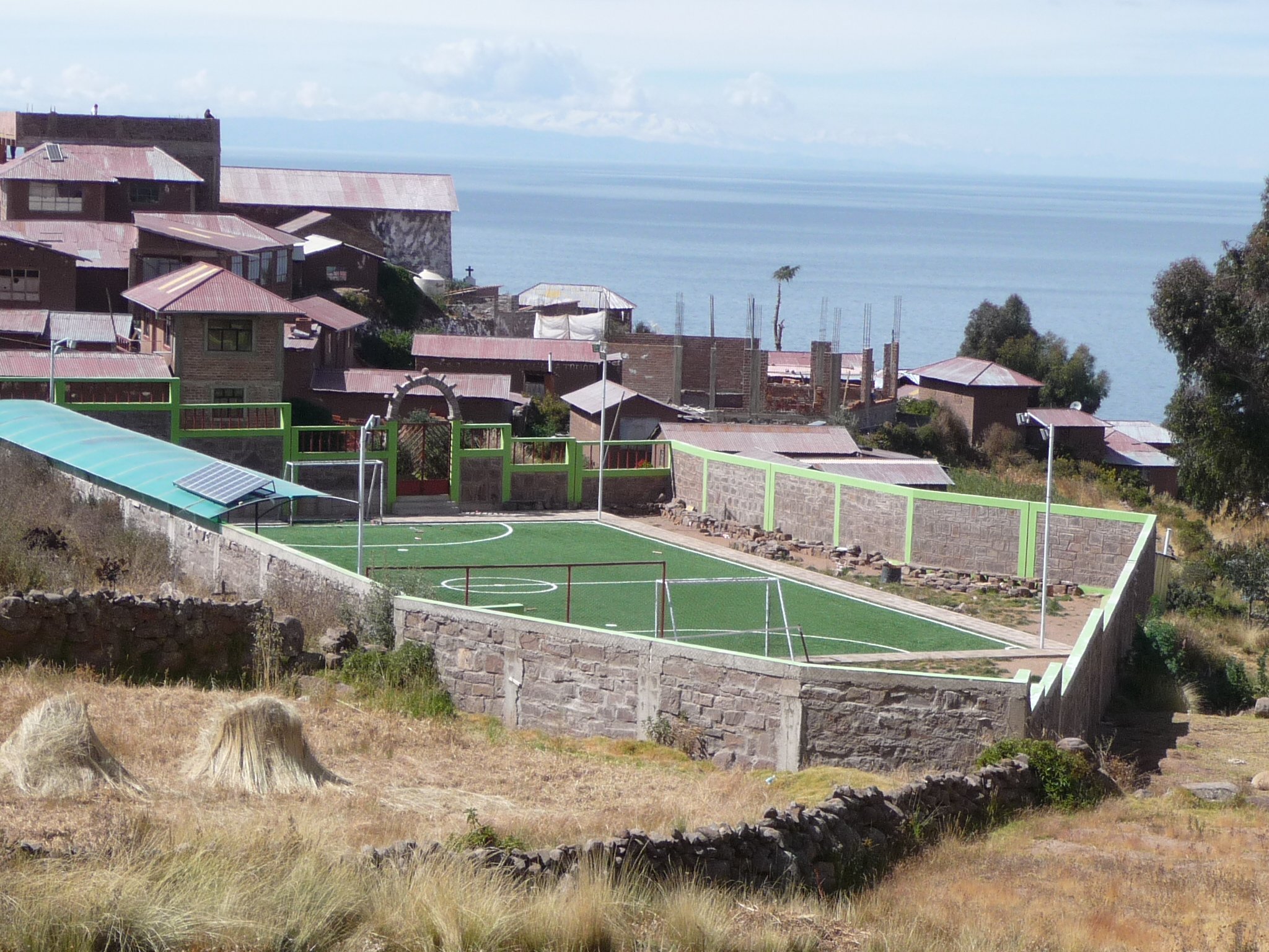
This little community has a really nice looking sports court.
On our way, climbing to the very top …
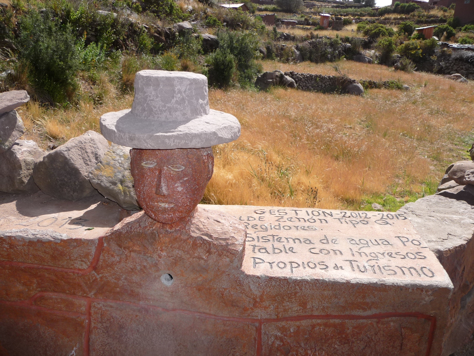
A typical site on the island … lots of clay heads with hats.
Looking back at some of the group climbing behind me.
The homes in this area seem much bigger and newer than some …
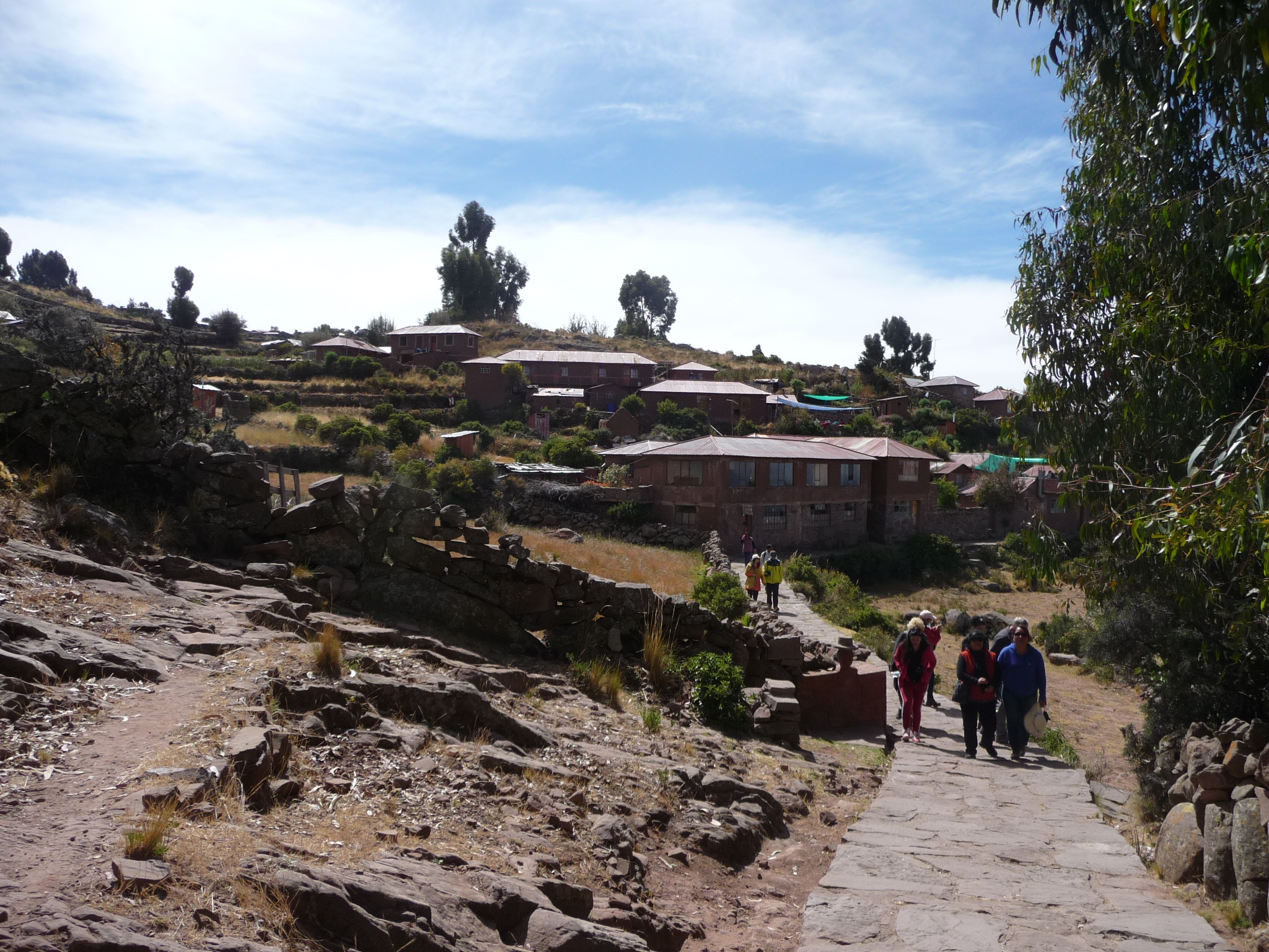
Passing into yet another community.
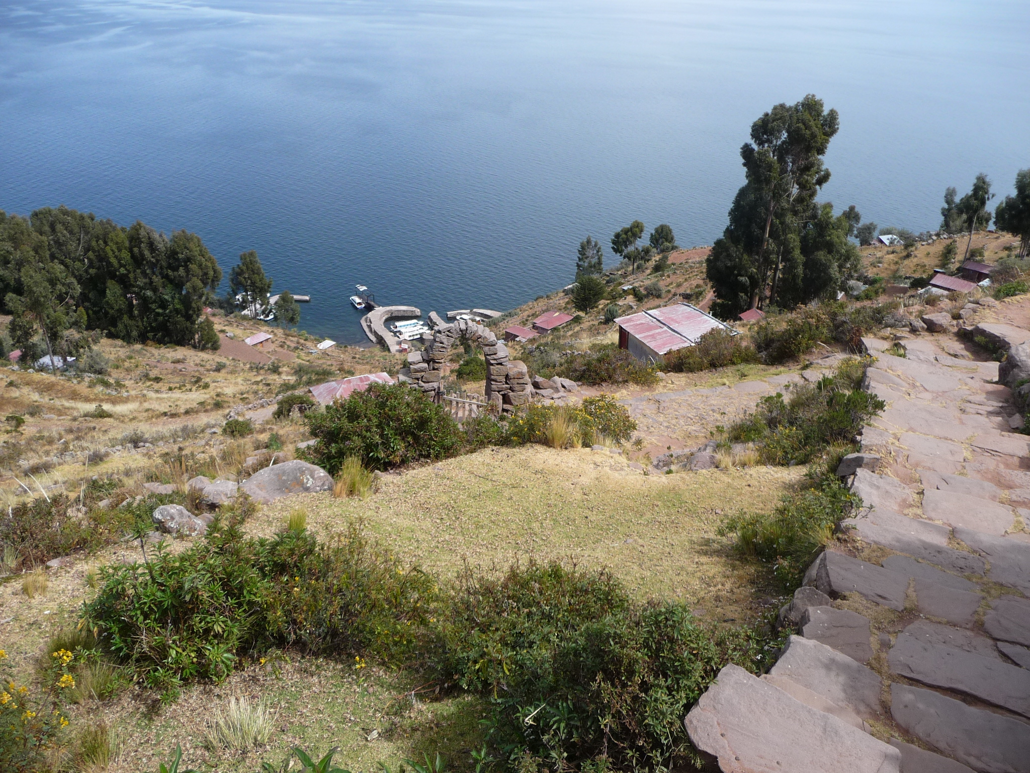
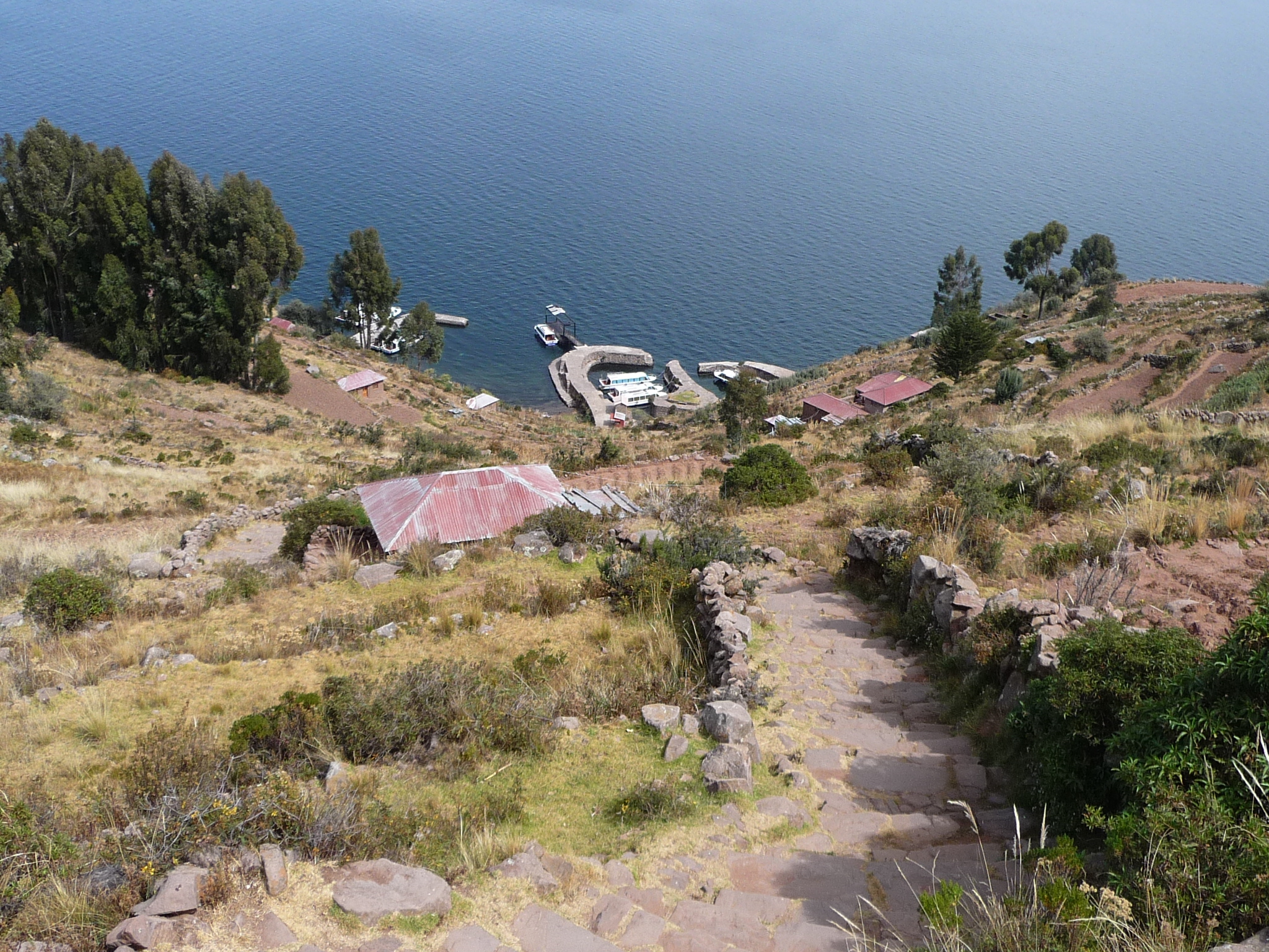
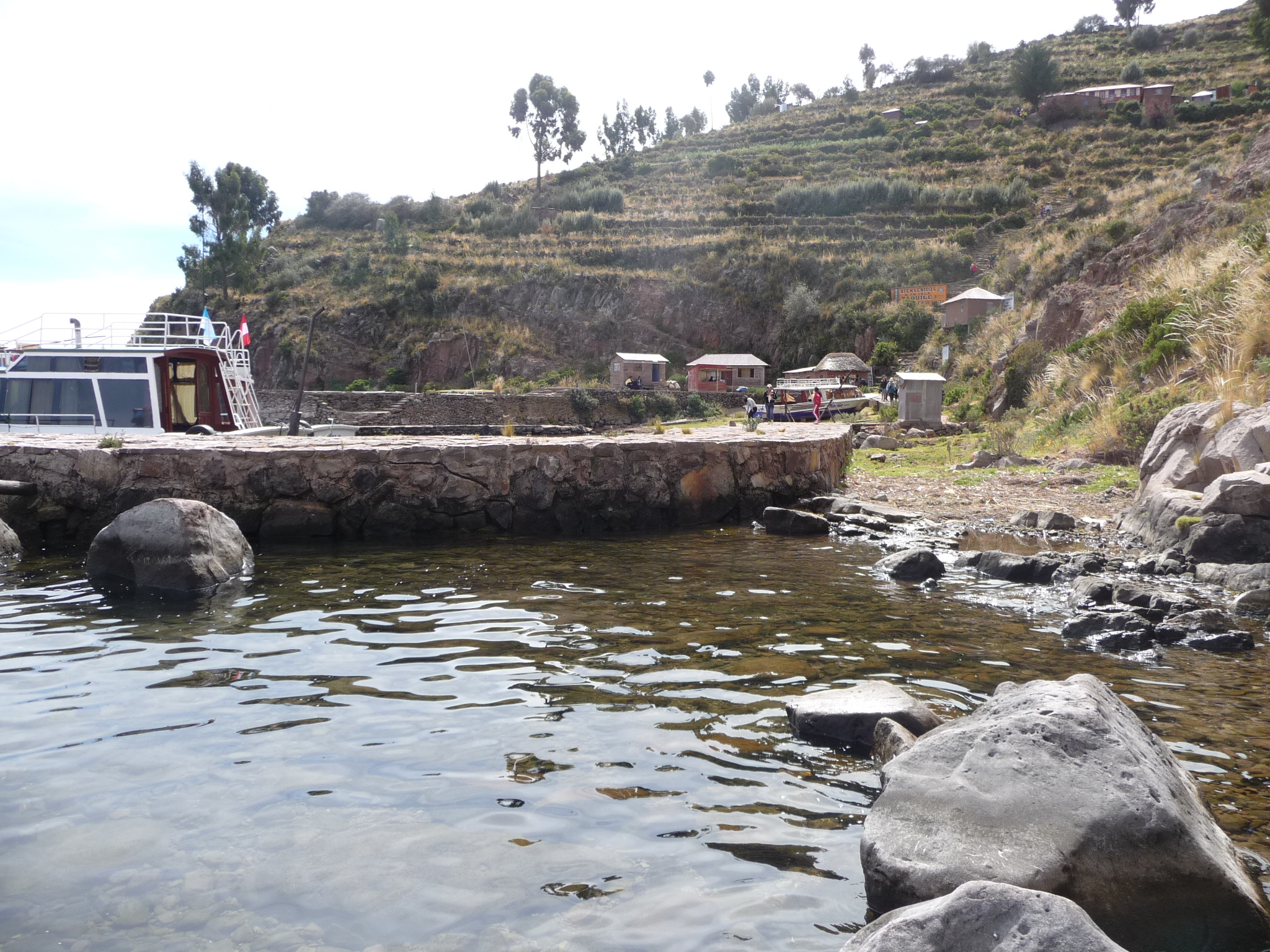
I am now over the top, looking down at the steep descent ahead. Those are boats below, and I am guessing this is our destination on the west side of the island. Our boat should be down there to meet us.
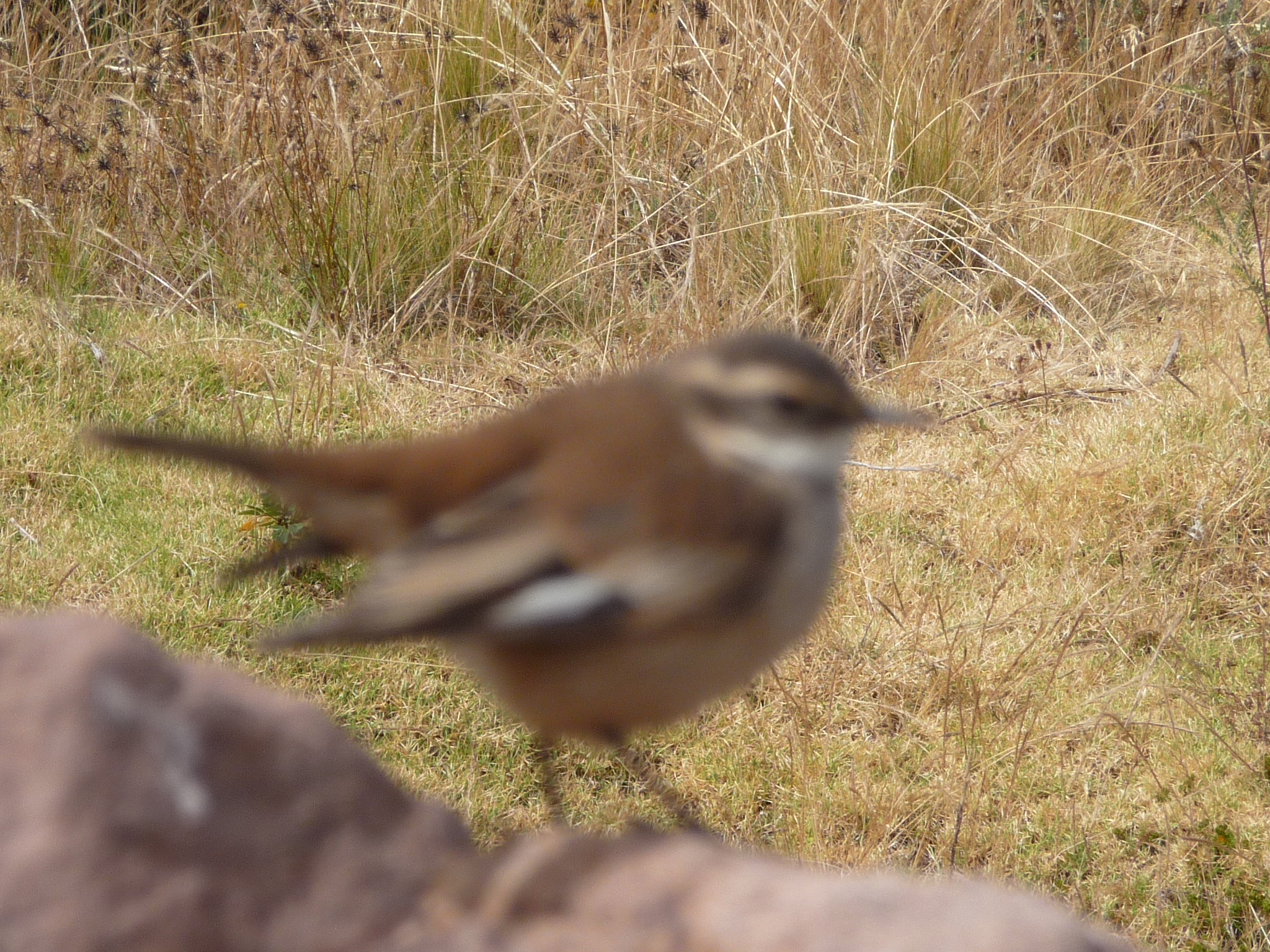
A little bird along the way.
Getting closer to the destination.
Giovani told us that there are 540 of these steps.
A steeper place as I near the bottom.
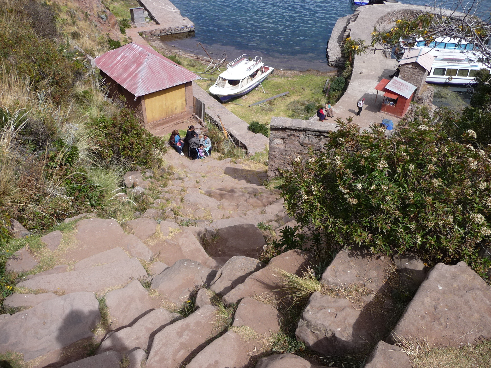
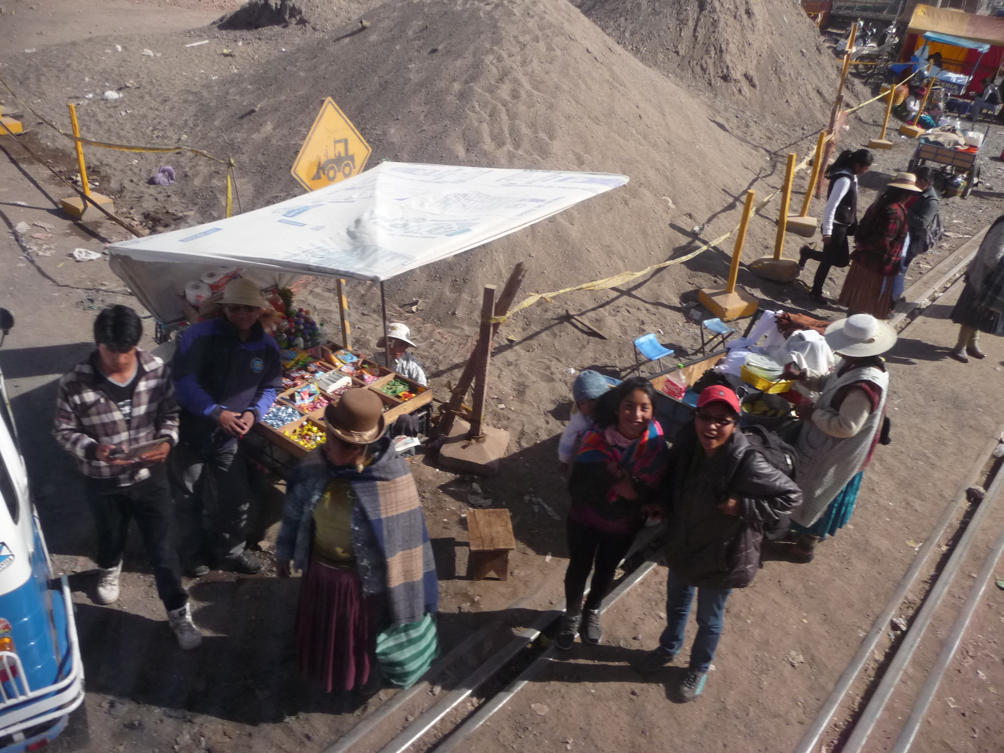
I am one of the first from my group. This photo is taken from the boat dock, looking back up toward the lower part of the steep trail.
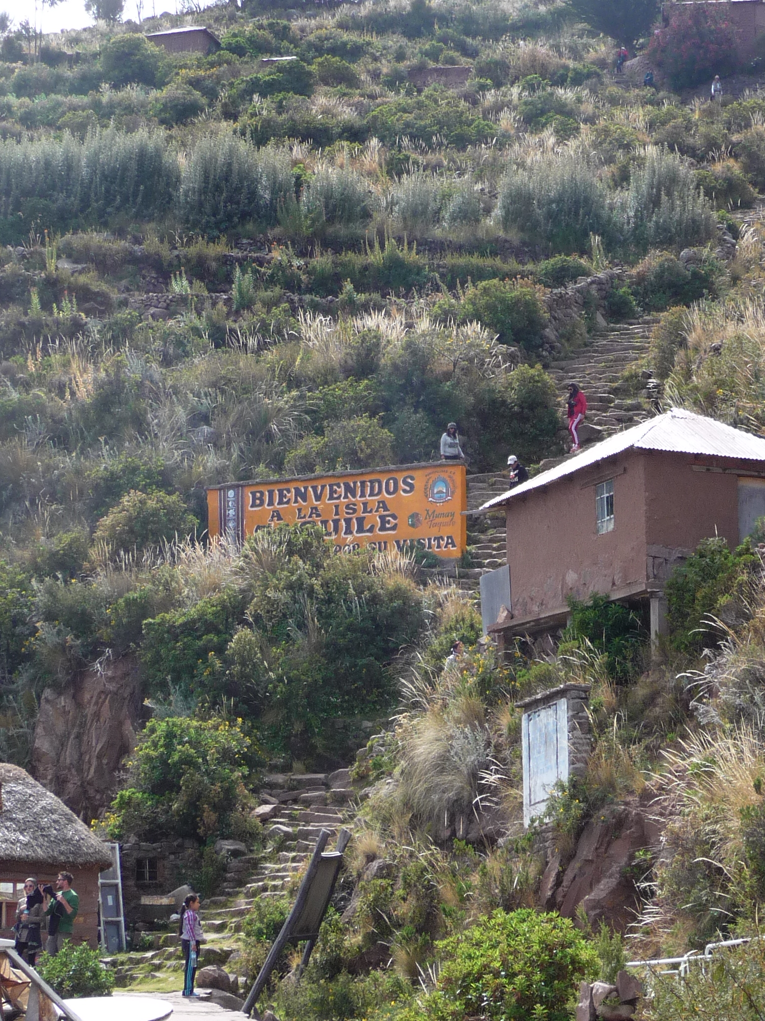
The sign reads “Welcome to Taquile Island”
Same photo, without the zoom.
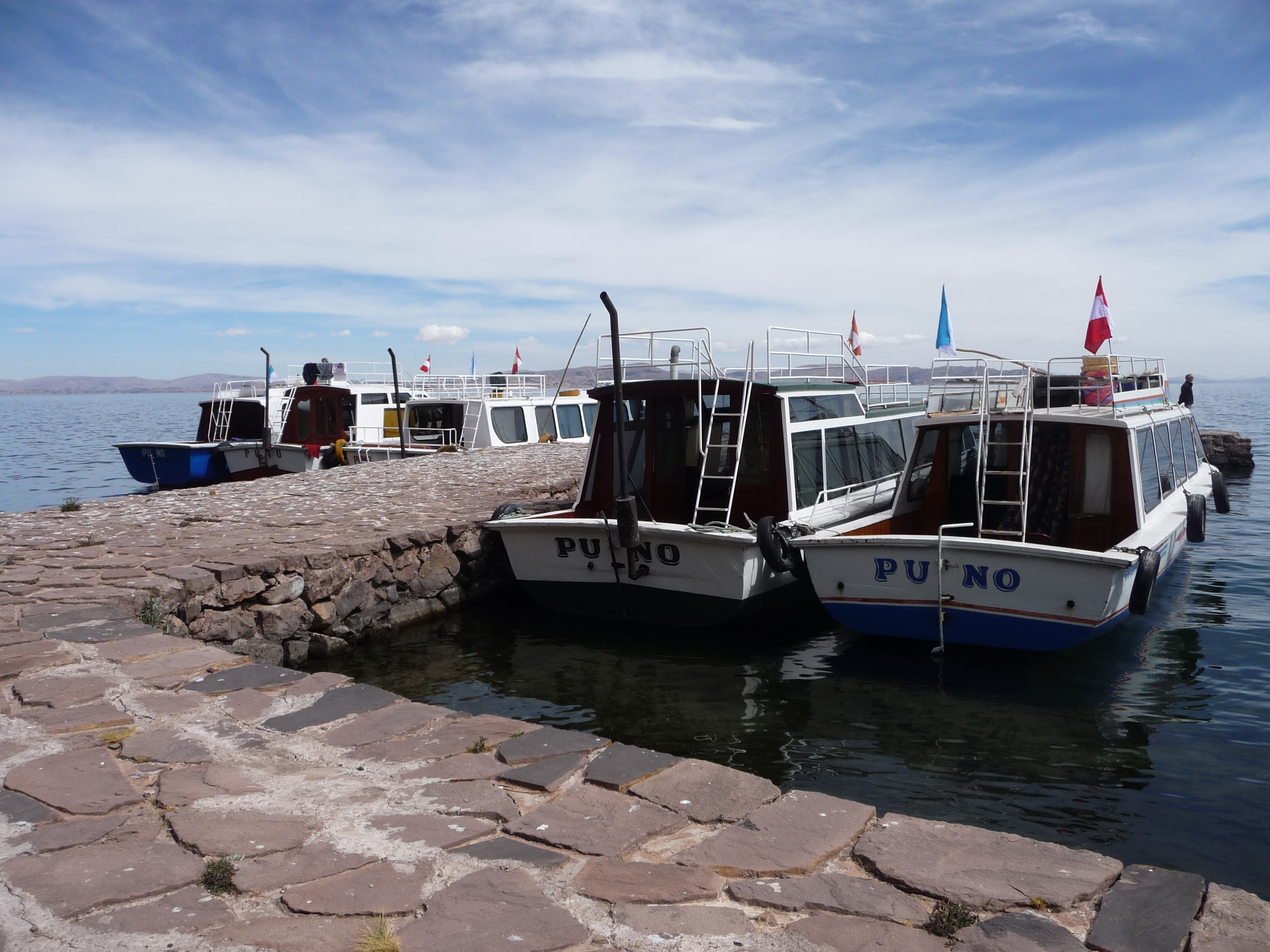
That boat right in the middle is our tour boat. I hang around for a while, enjoying the view and meditating. The rest of the group trickles in over the next twenty minutes.
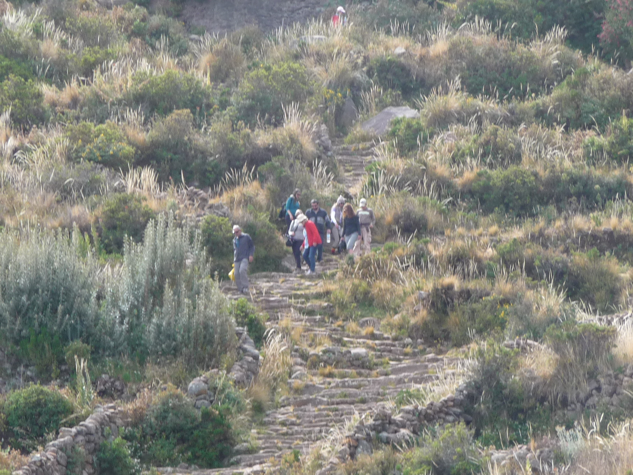
Others climbing down the steep stairs. These are not part of my group.
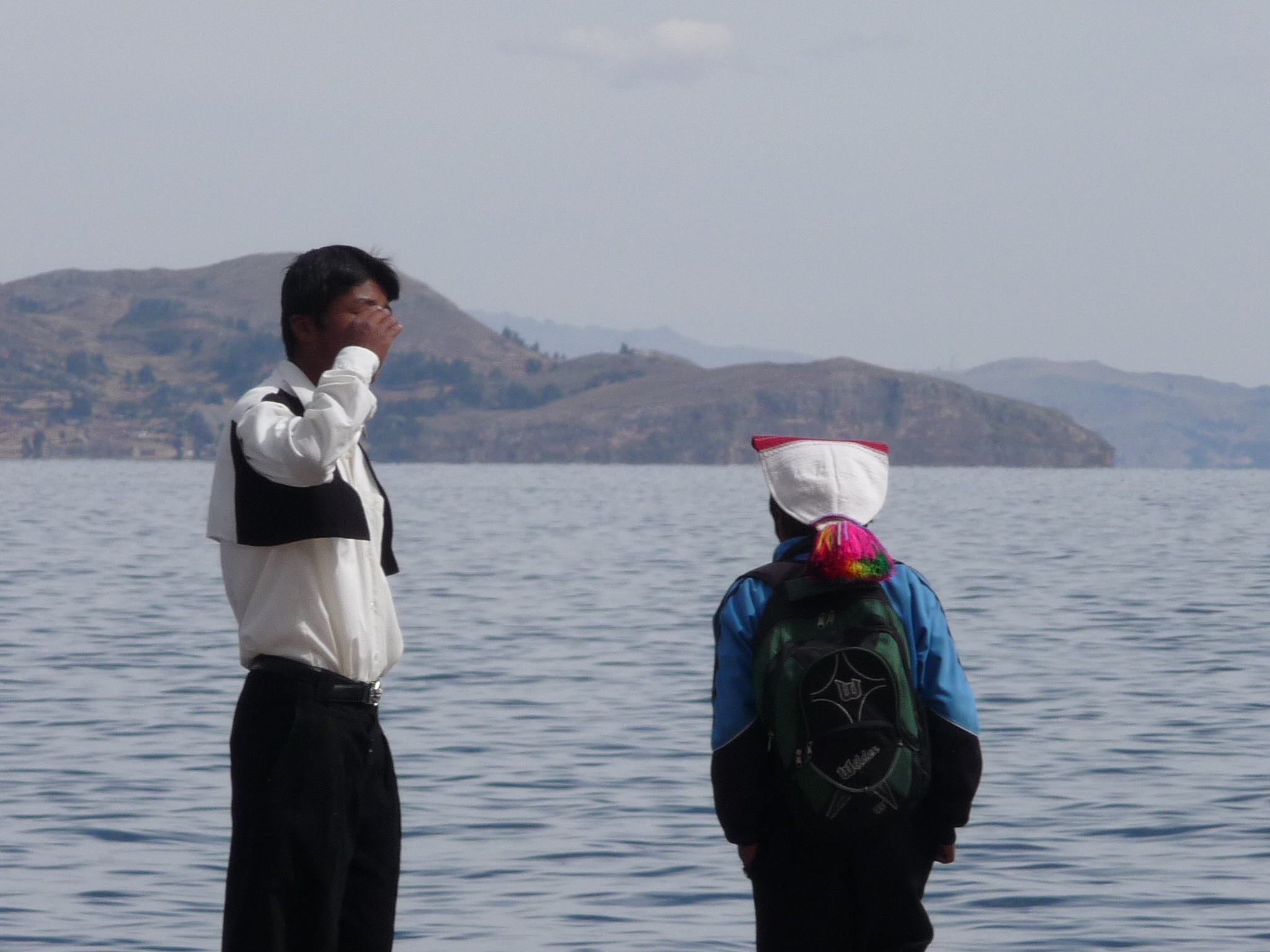
A couple of local people waiting for their boat.
I walk down the shoreline a little, briefly exploring.
I am sitting on a rock.

It is almost time to board.
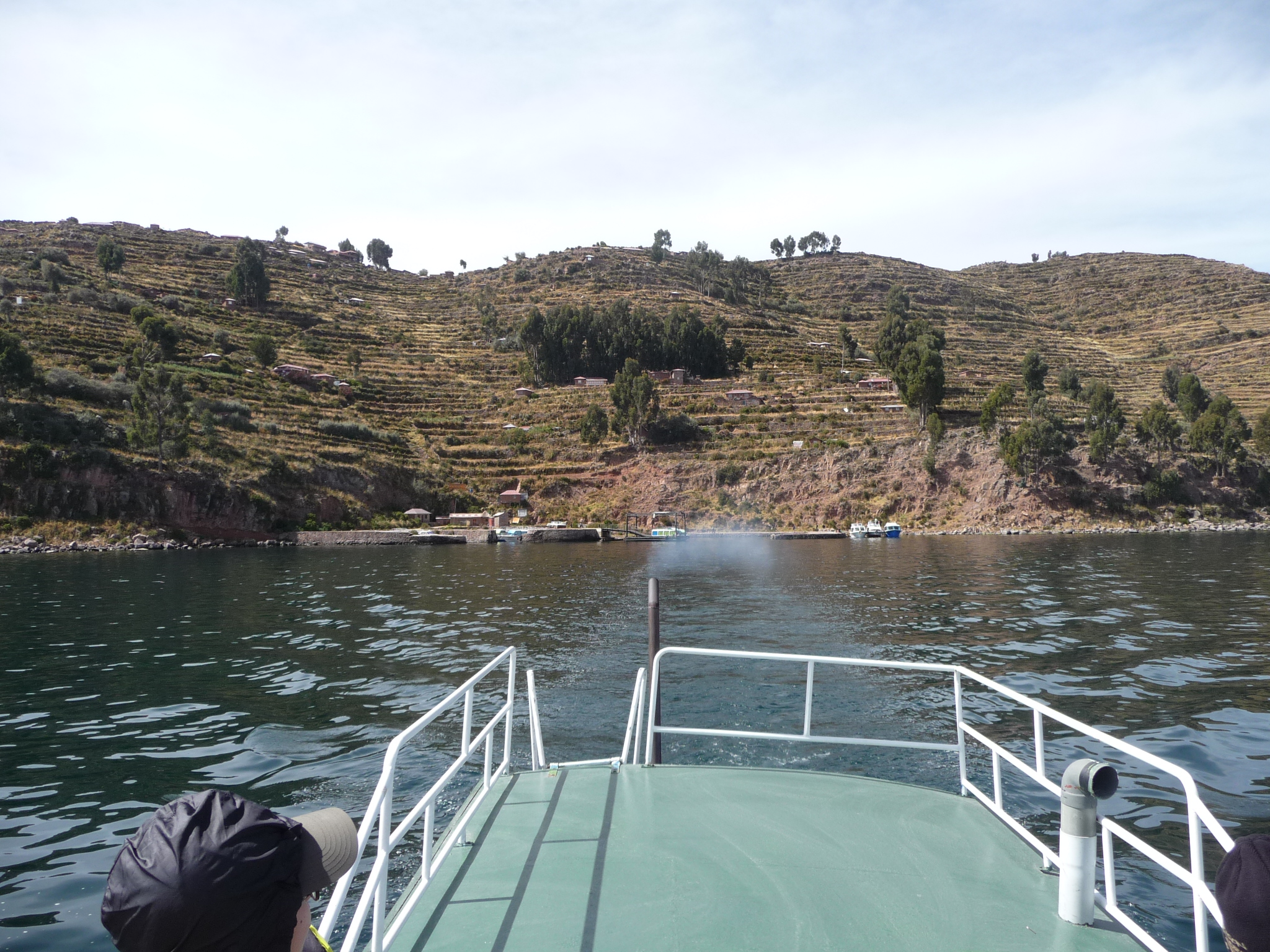
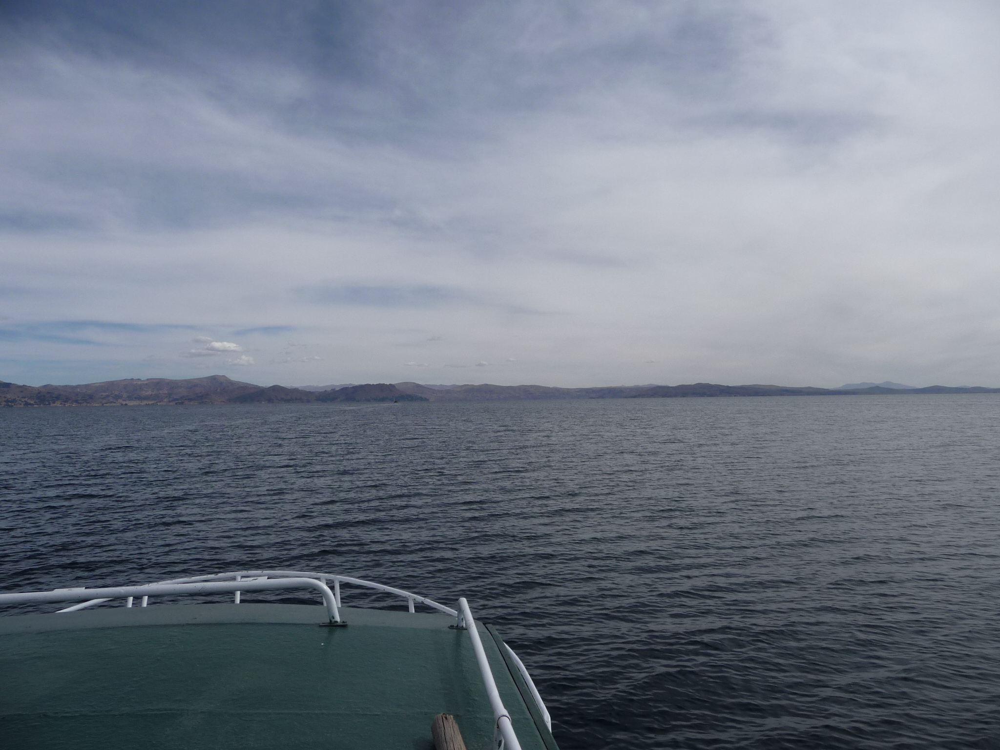
And we are on our way. I sit on top of the boat for the majority of the three hour journey back to Puno
Yes, I said “THREE HOUR” journey. It is a long way on these slow boats.
Looking back, with Joet and Lie barely in the photo.
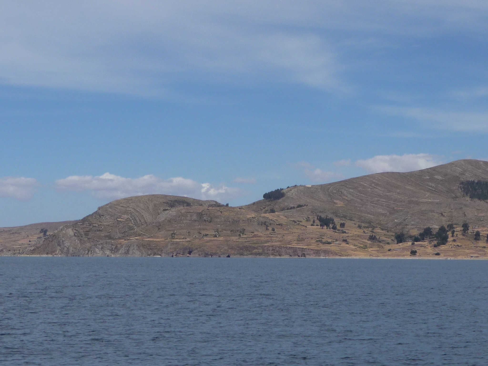
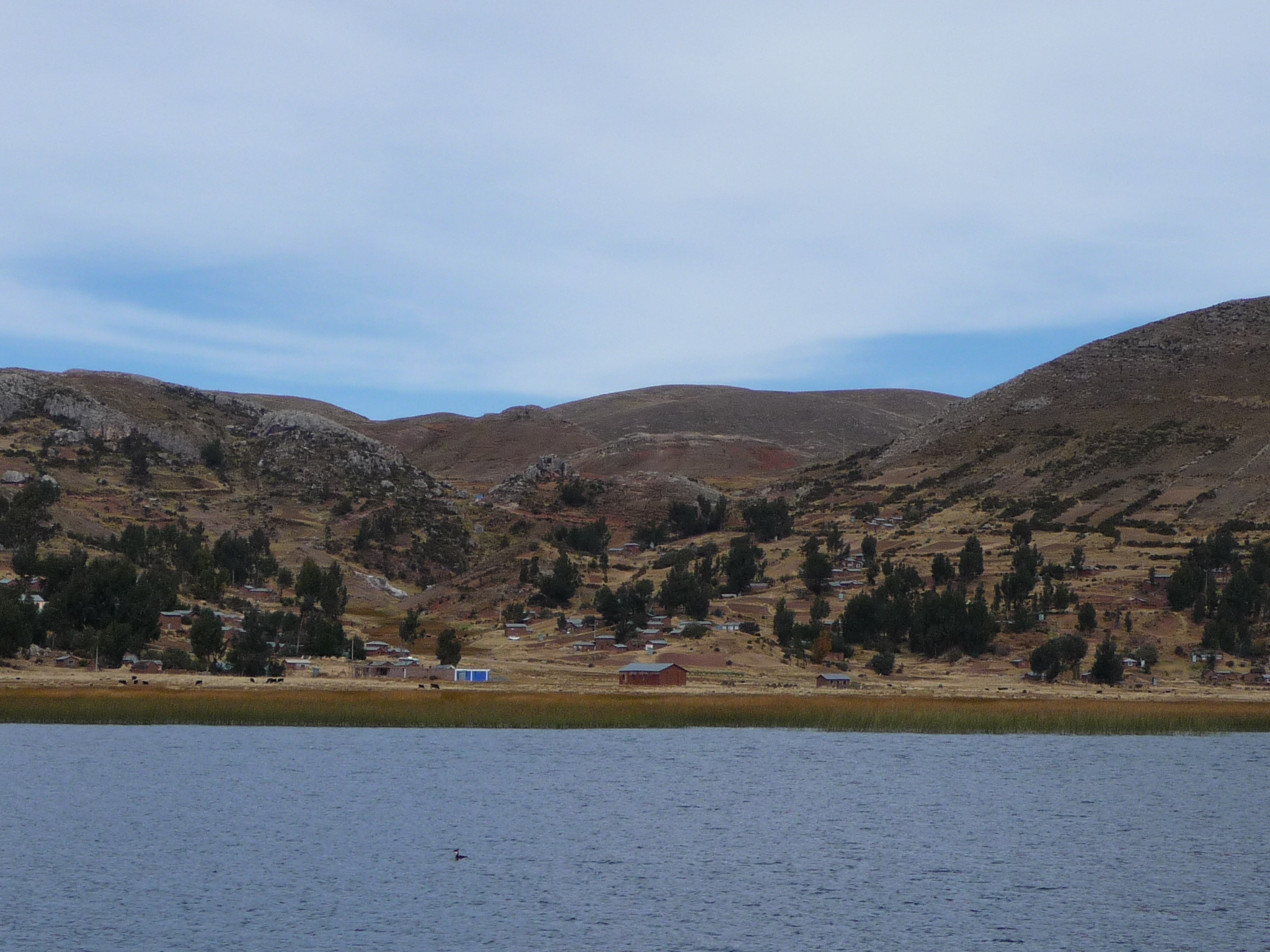
A view of the west side of Taquile island, with the boat dock at the bottom.
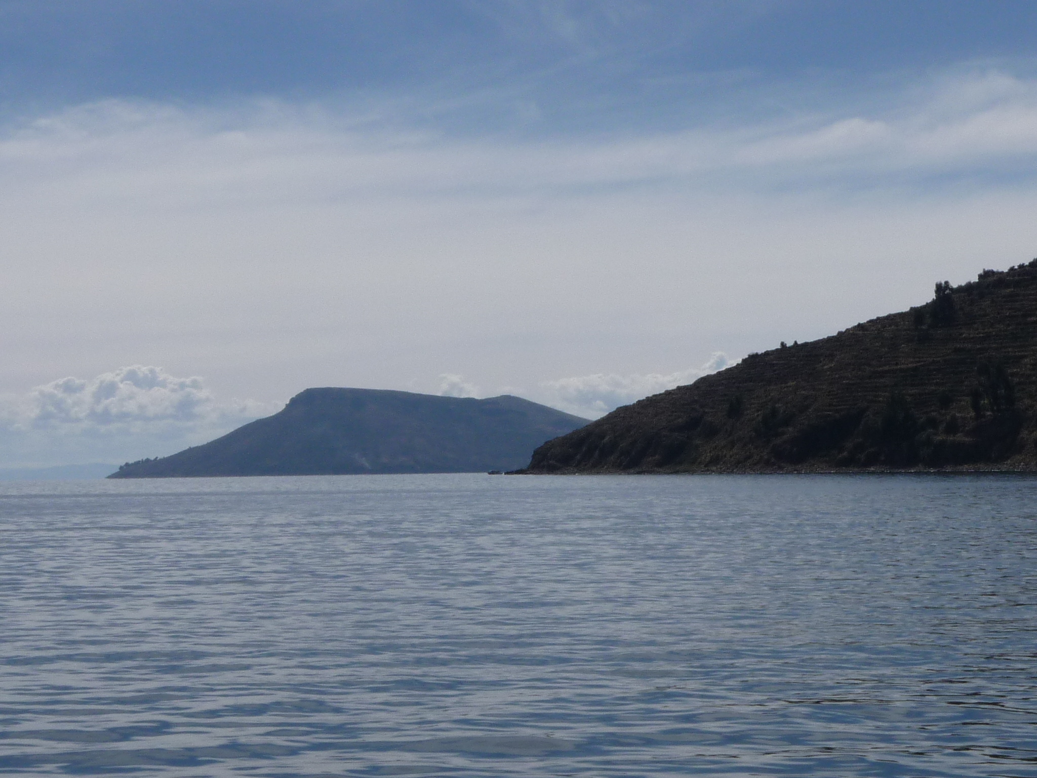
In the foreground is the tip of Taquile Island. In the background is Amantani Island (where I was yesterday).
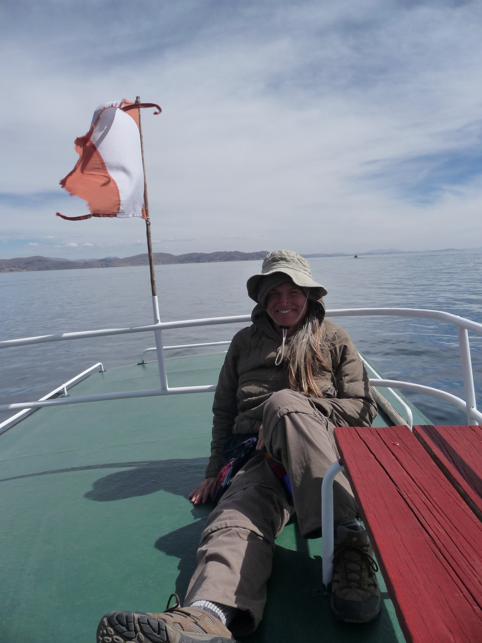
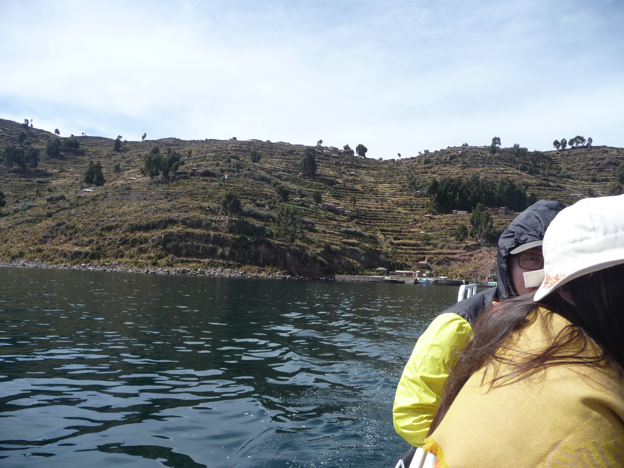
Me, on top of the boat. Either Joet or Lie took this photo for me. As you can see, I am bundled up in many layers. It is very cold out here with the breeze blowing on us.
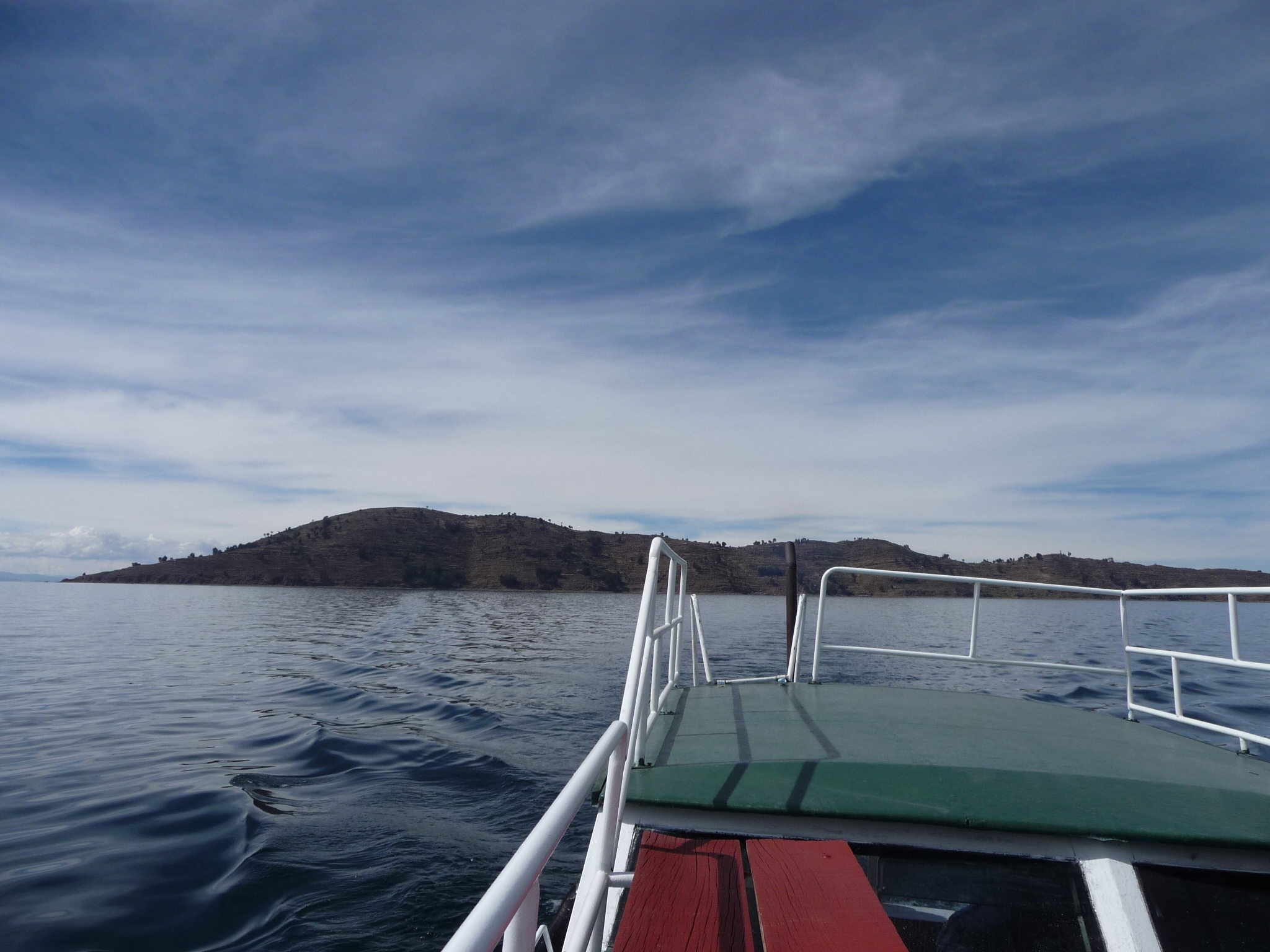
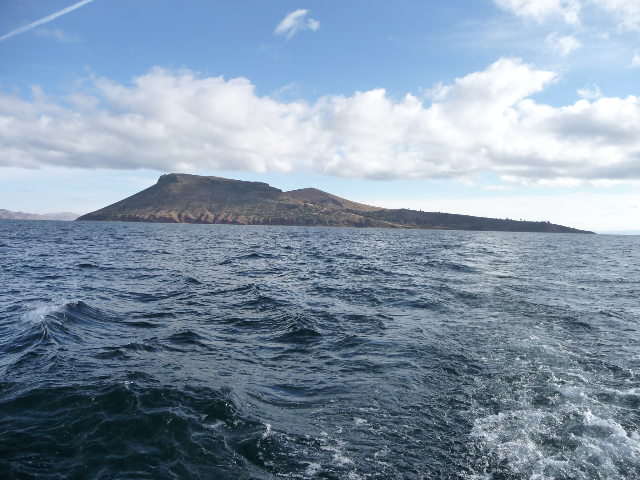
Looking back at Taquile Island.
Zooming in on Taquile Island.
Another similar photo.
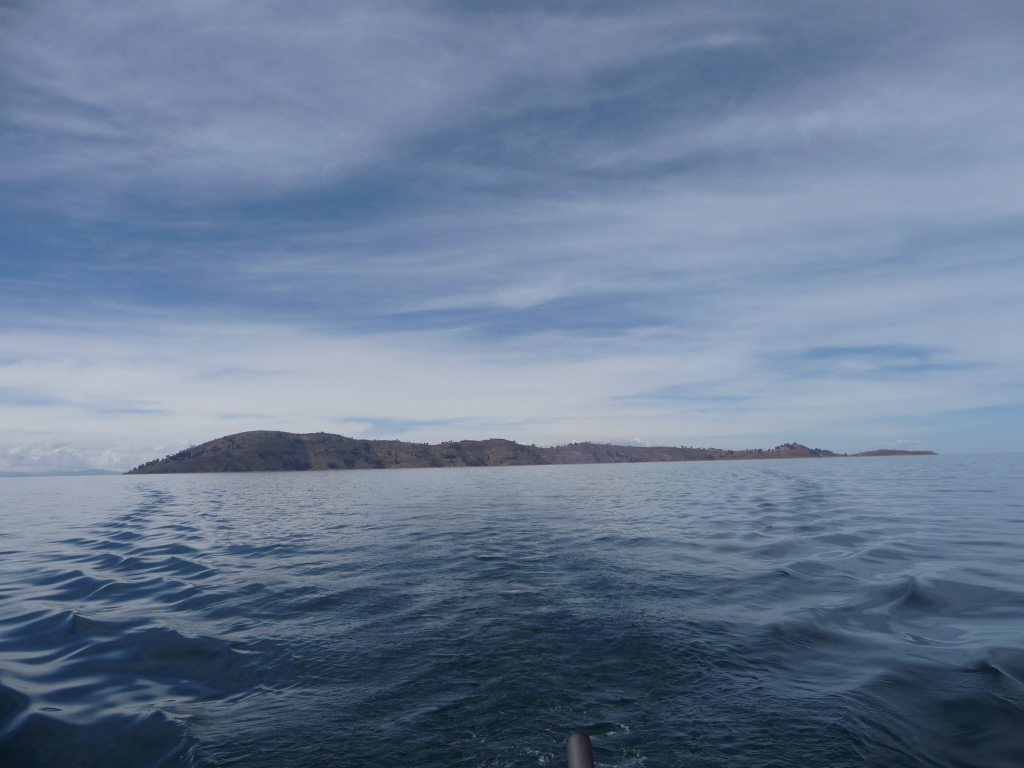
This one is without the zoom, showing the entire length of Taquile Island.
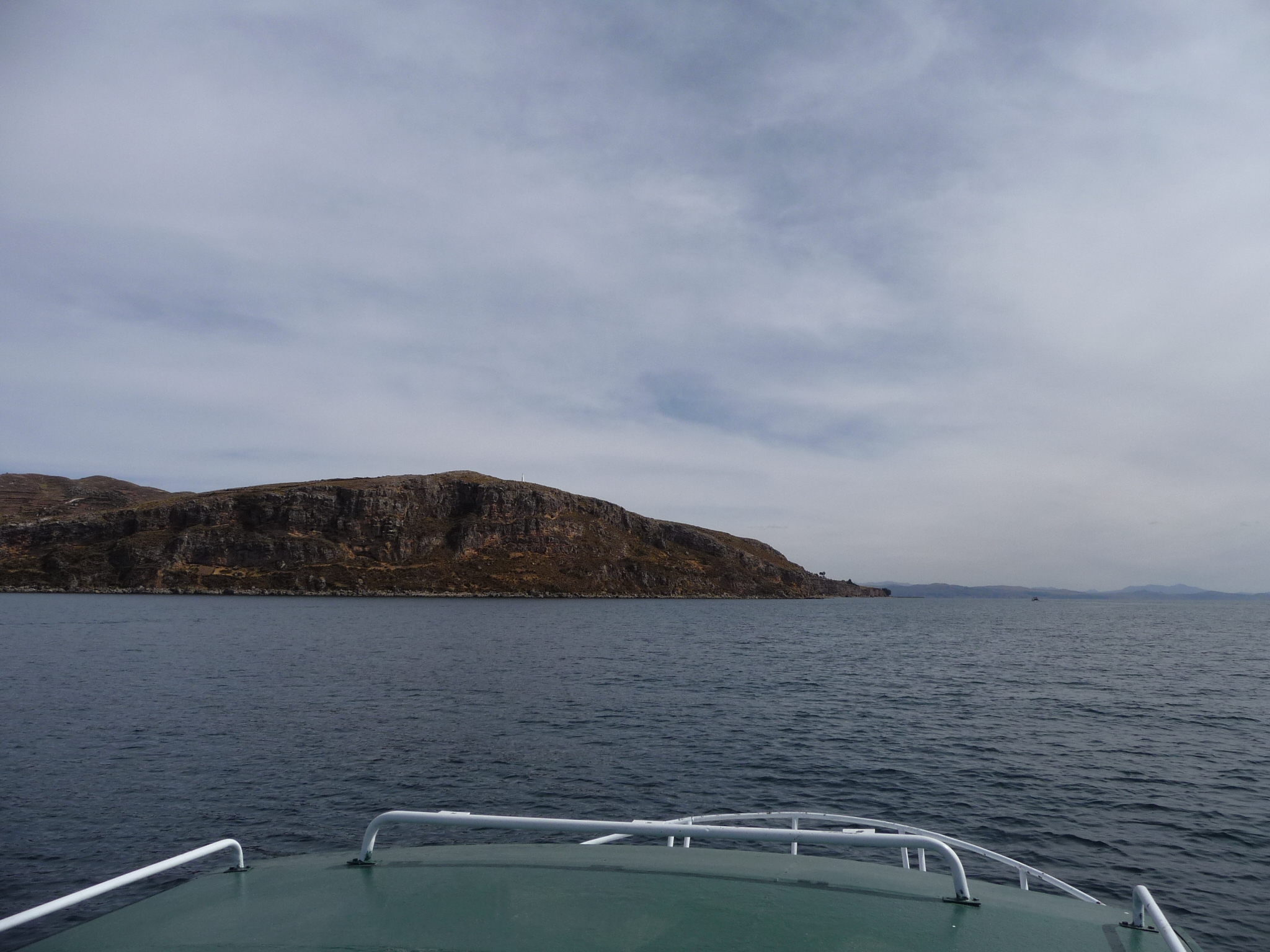
Approaching the peninsula that sticks out to form the southern edge of the Puno Bay.
Same photo, more or less…
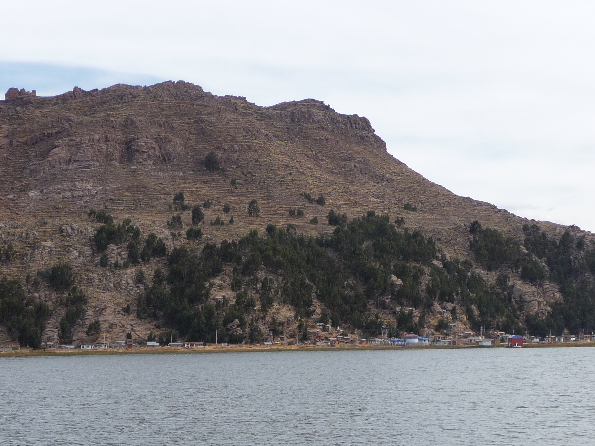
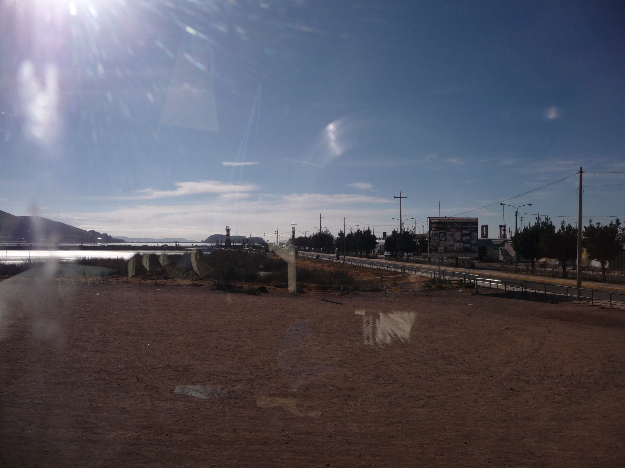
Passing by the southern side of Puno Bay.
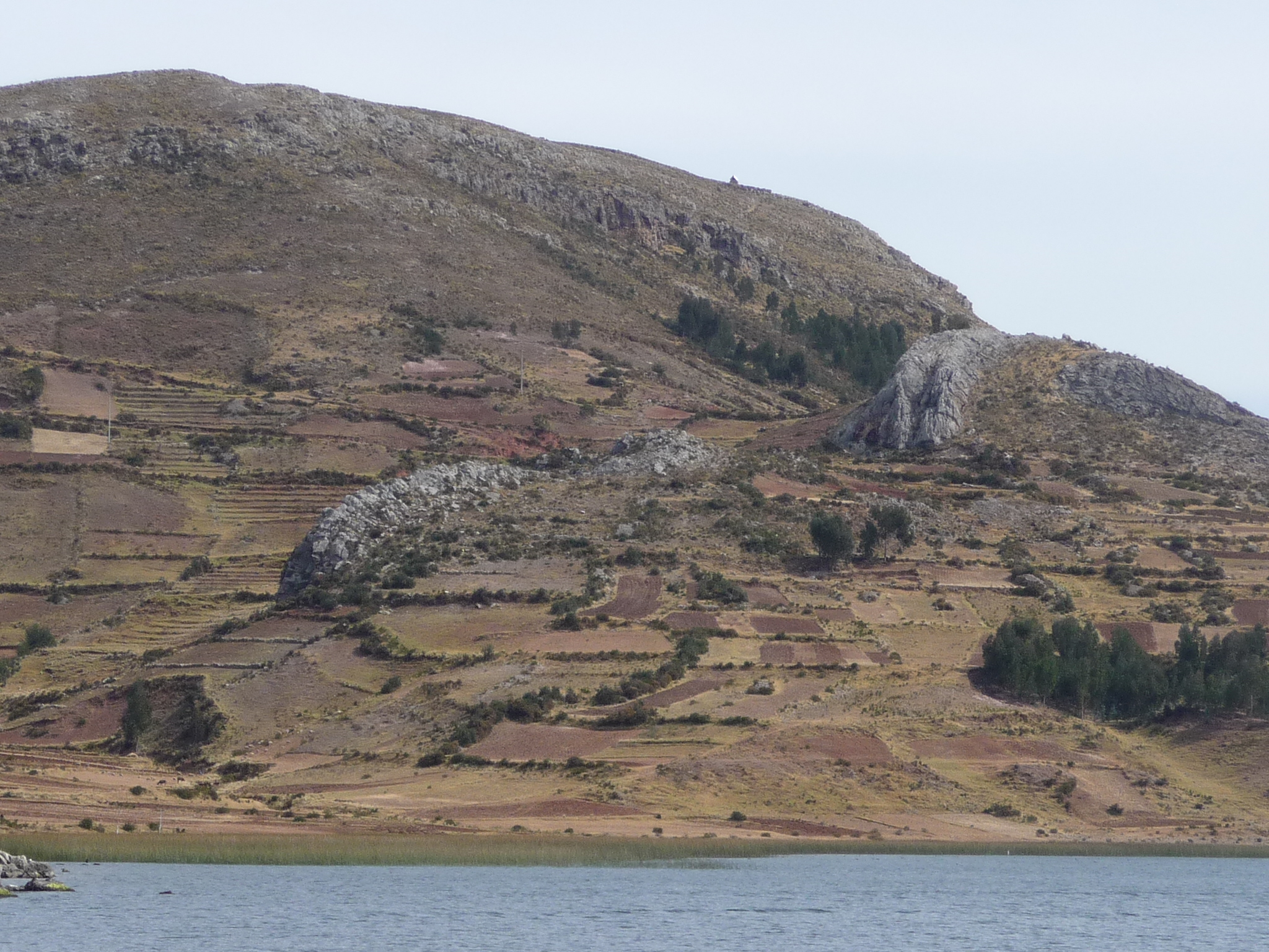
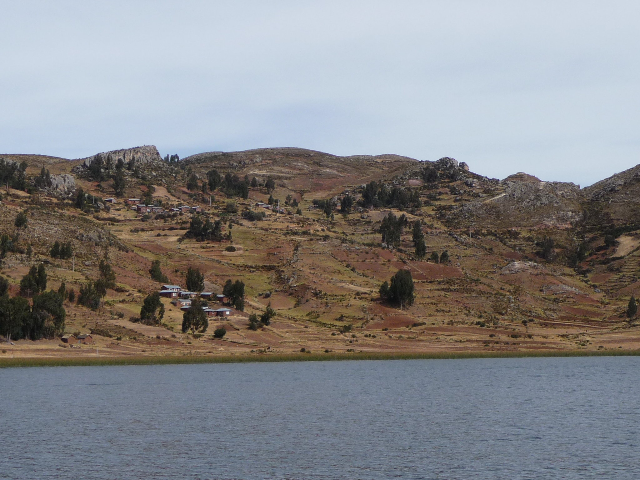
Some of the typical scenery in this part of the lake.
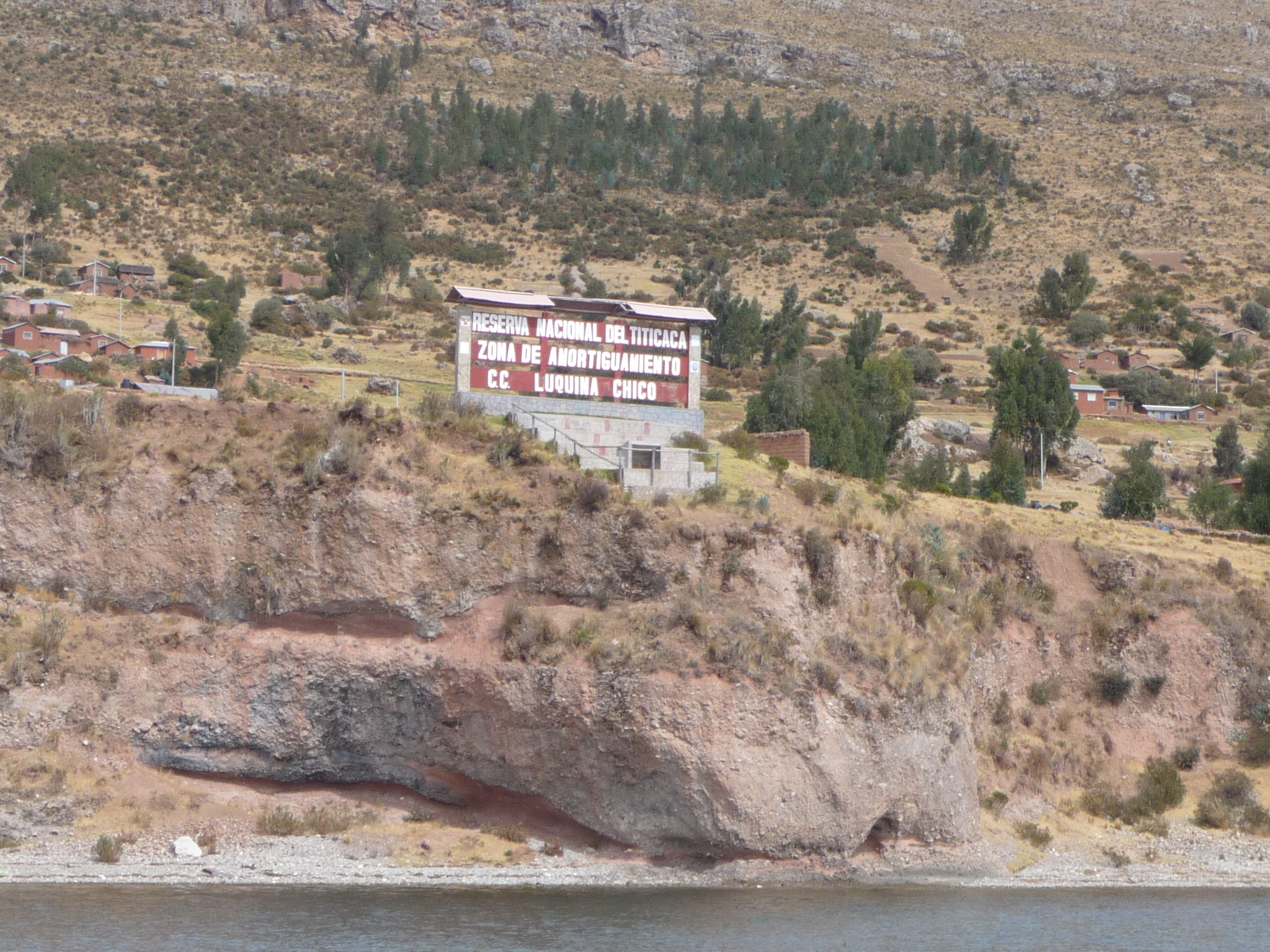
This sign reads “National Reserve of Lake Titicaca” and then says things I don’t understand.
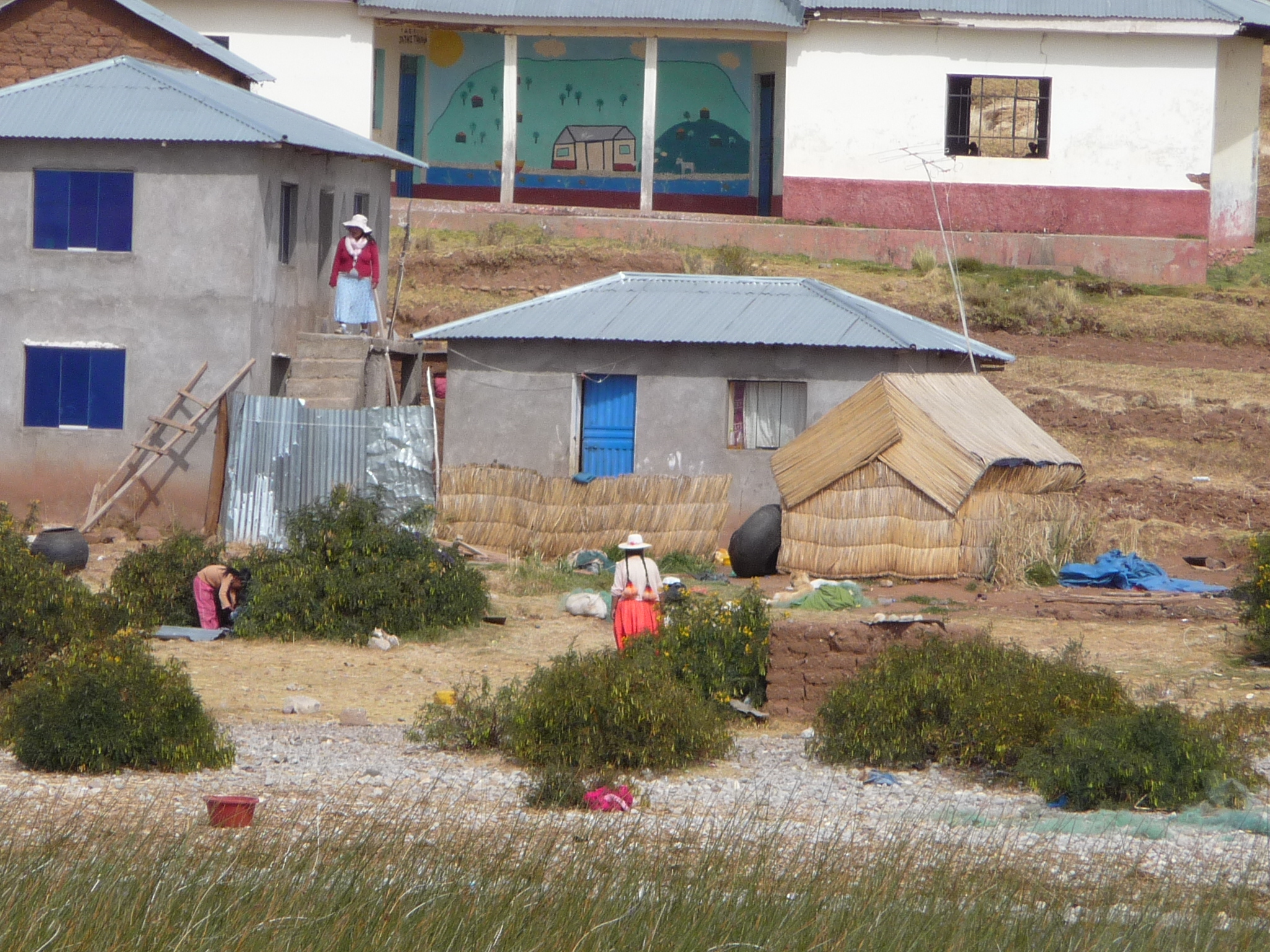
I catch a glimpse of a reed house that looks really out of place here … plus I love the women wearing their traditional clothing.
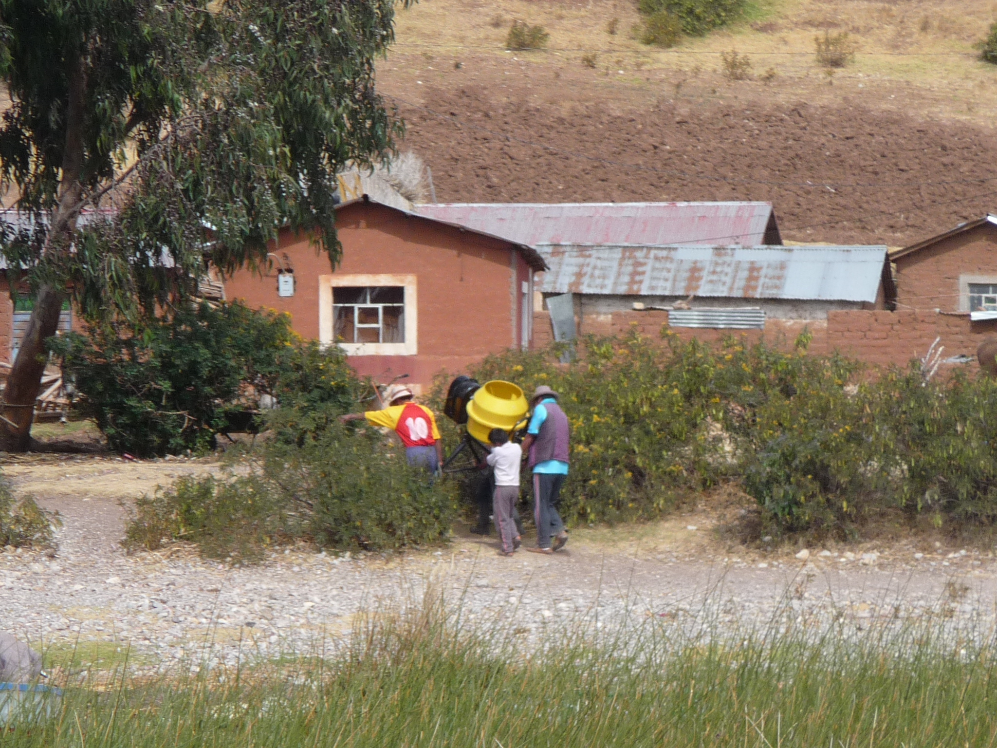
A group carrying a cement mixer.
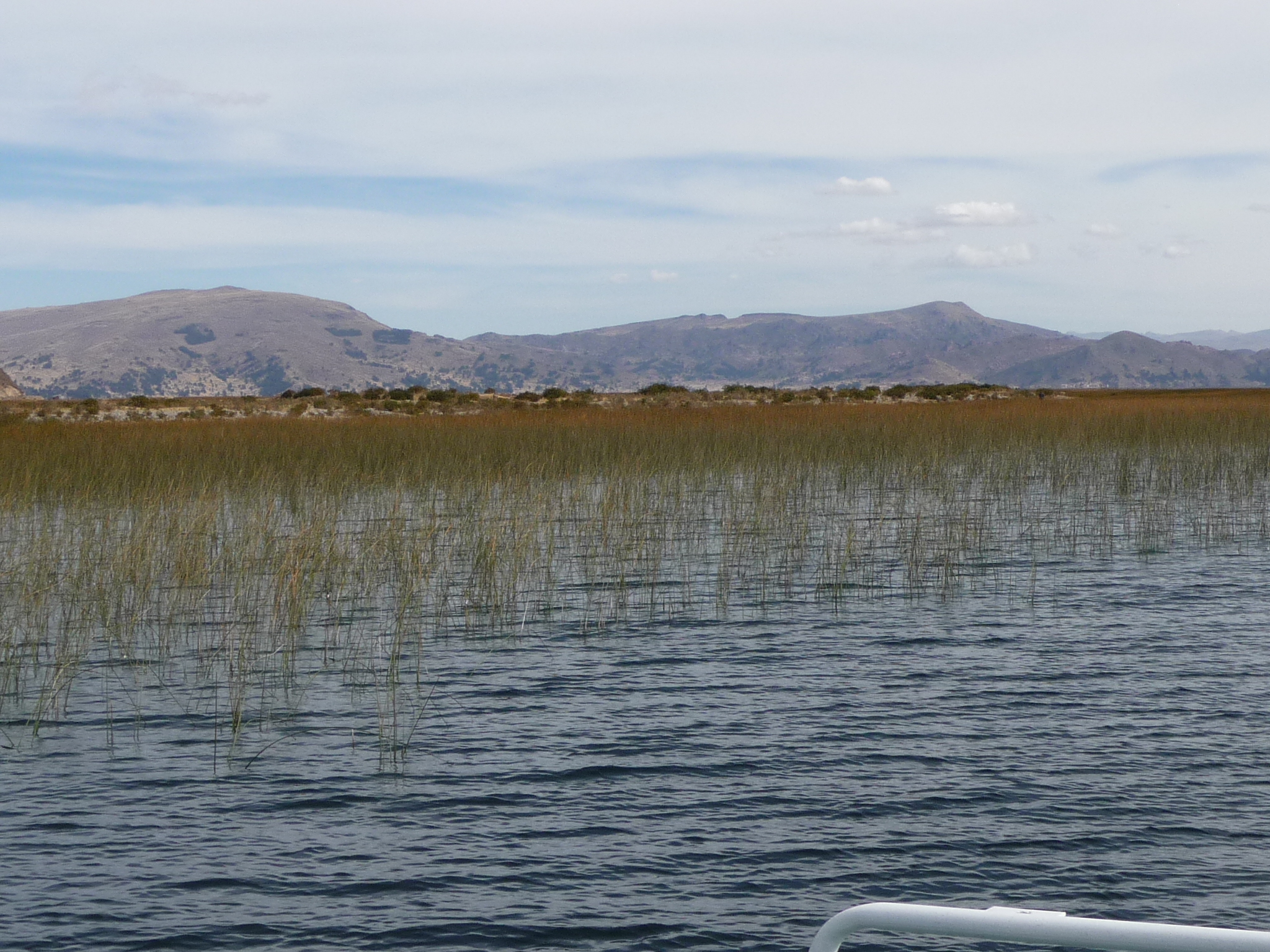
Reeds along the shore.
More typical scenery.
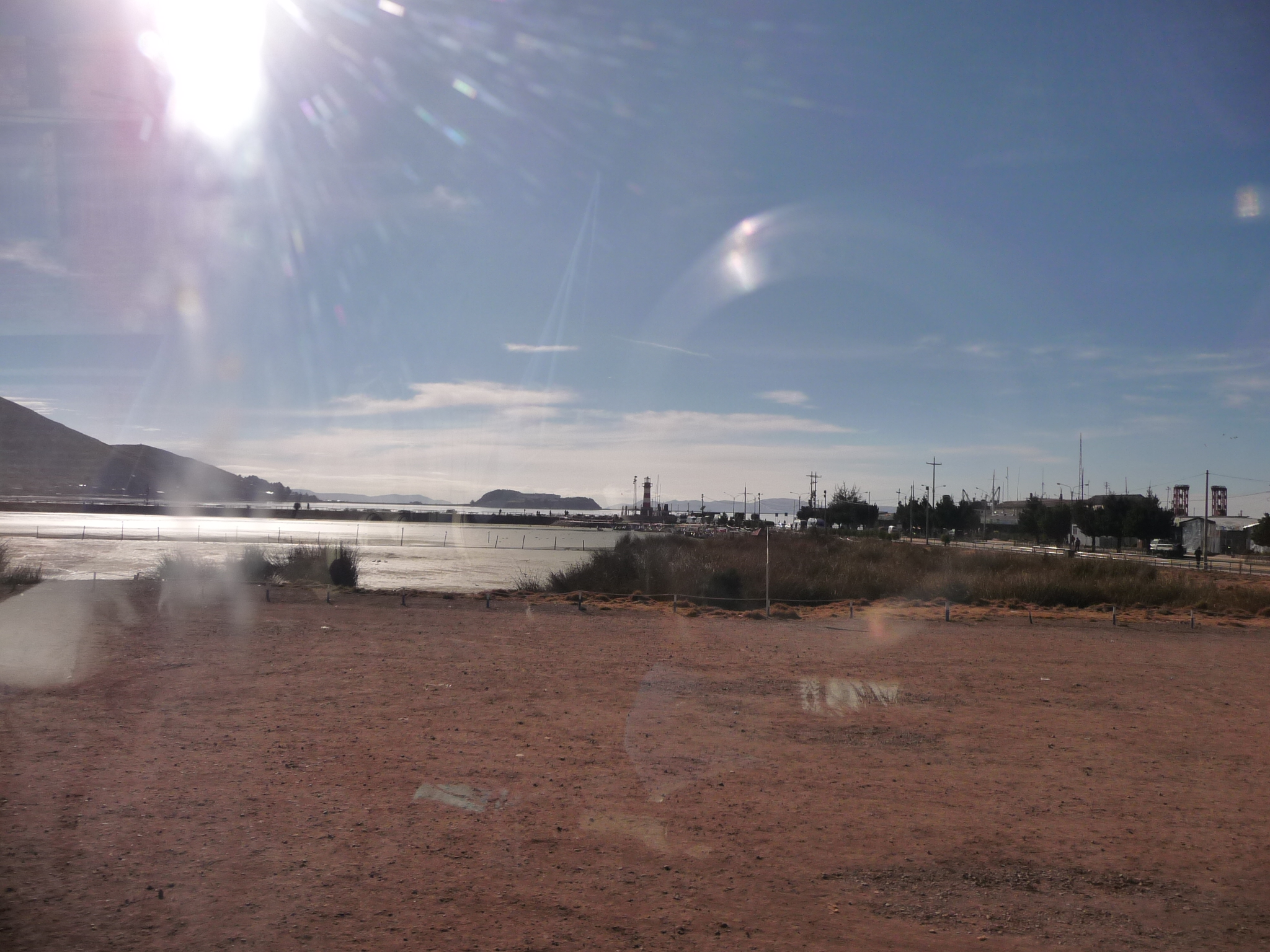
Finally turning toward Puno … off in the FAR distance.
Getting closer.
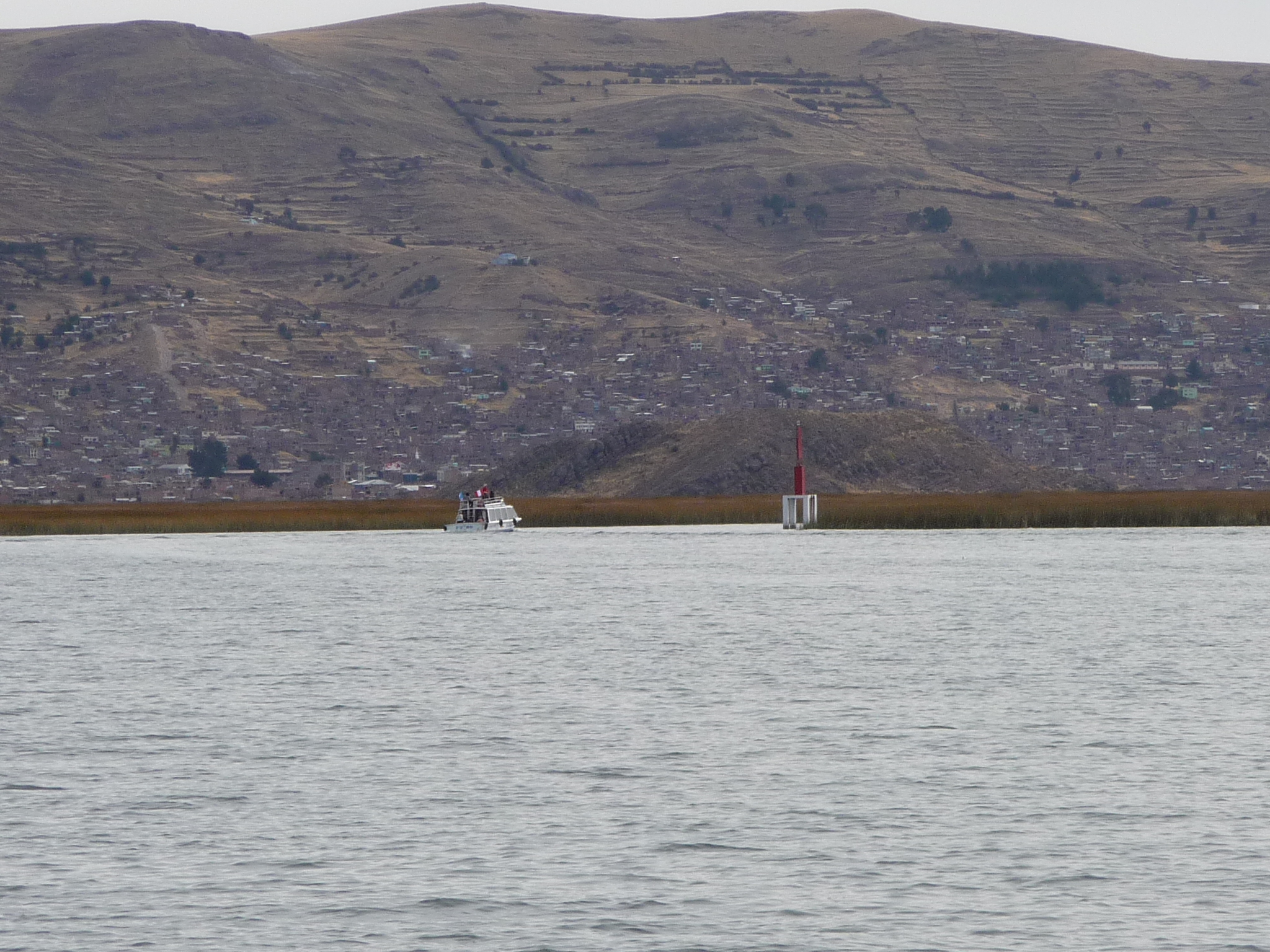
About to enter the man-made channel through the thick reeds.
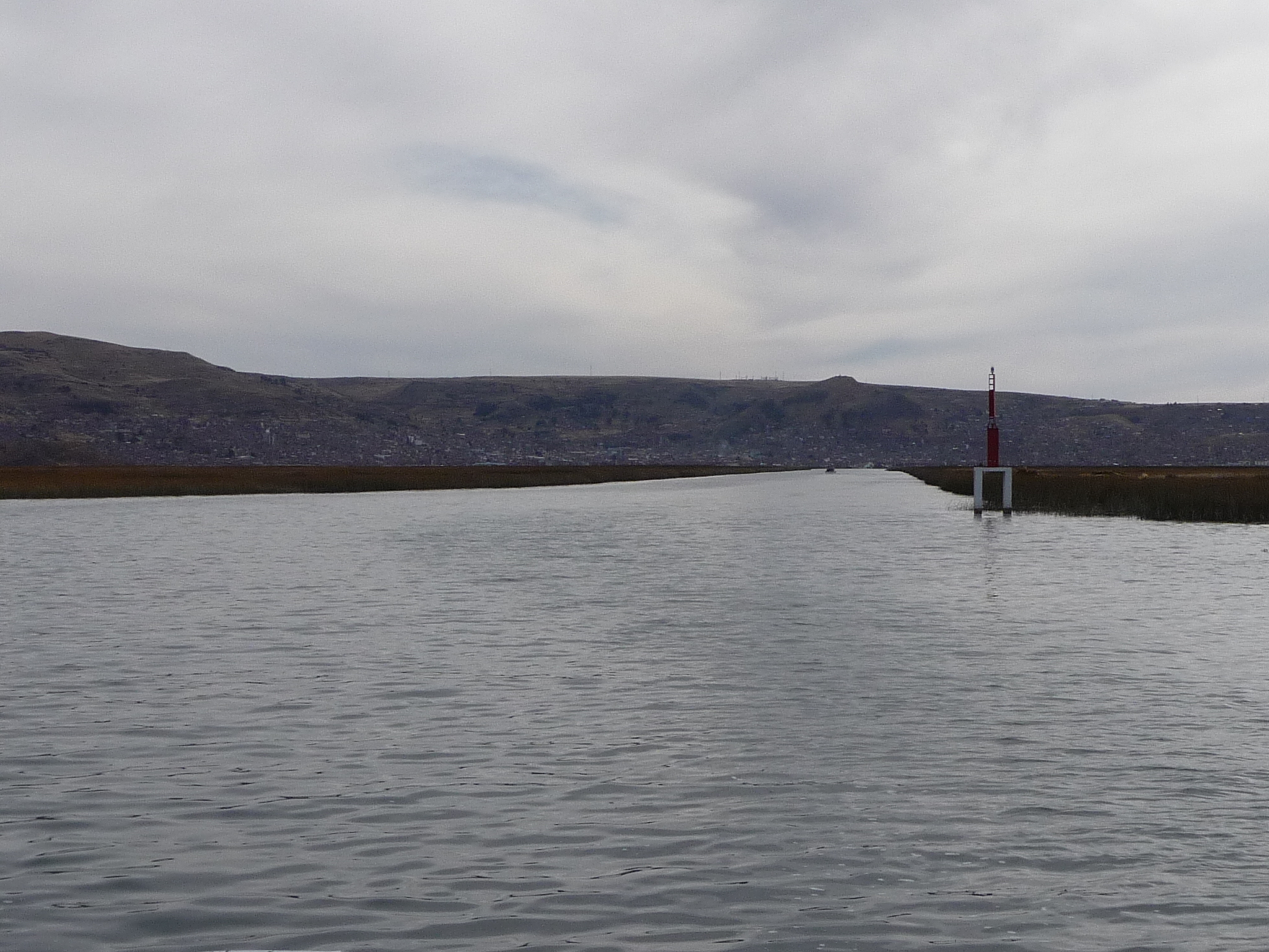
And here we go …
Shortly after 3:00 p.m., we arrive back at the dock in Puno. Rather than taking me back to my hotel, I ask our shuttle driver to please drop me off at the bus station. A while later, I walk back to my hotel with a purchased bus ticket in hand. I will be leaving early tomorrow morning on a bus to Cusco.
I spend the rest of the day resting and exploring the plaza area of Puno.
From Puno To Cusco
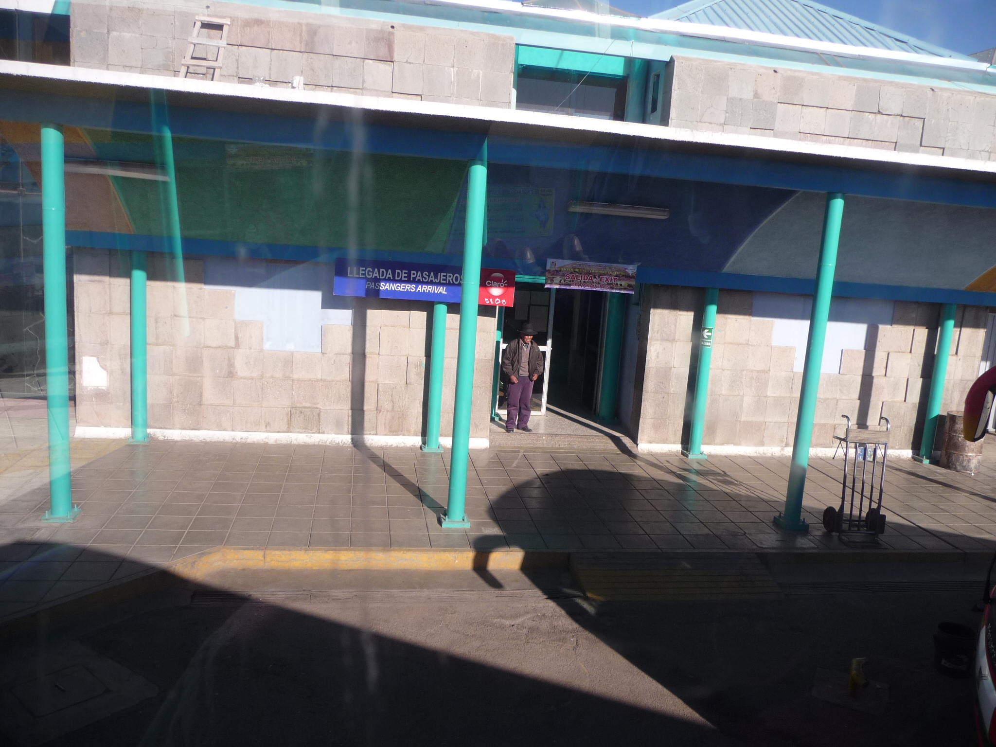
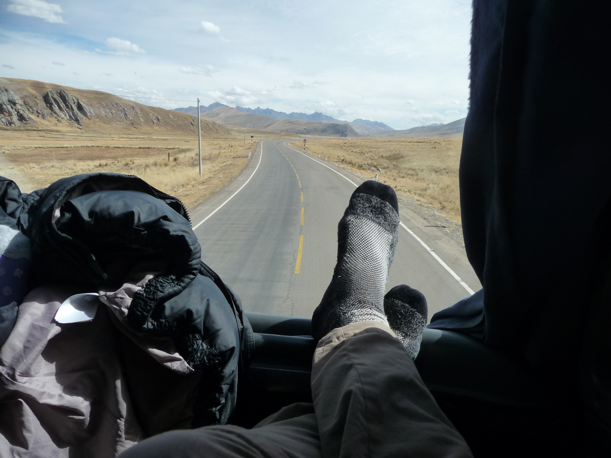
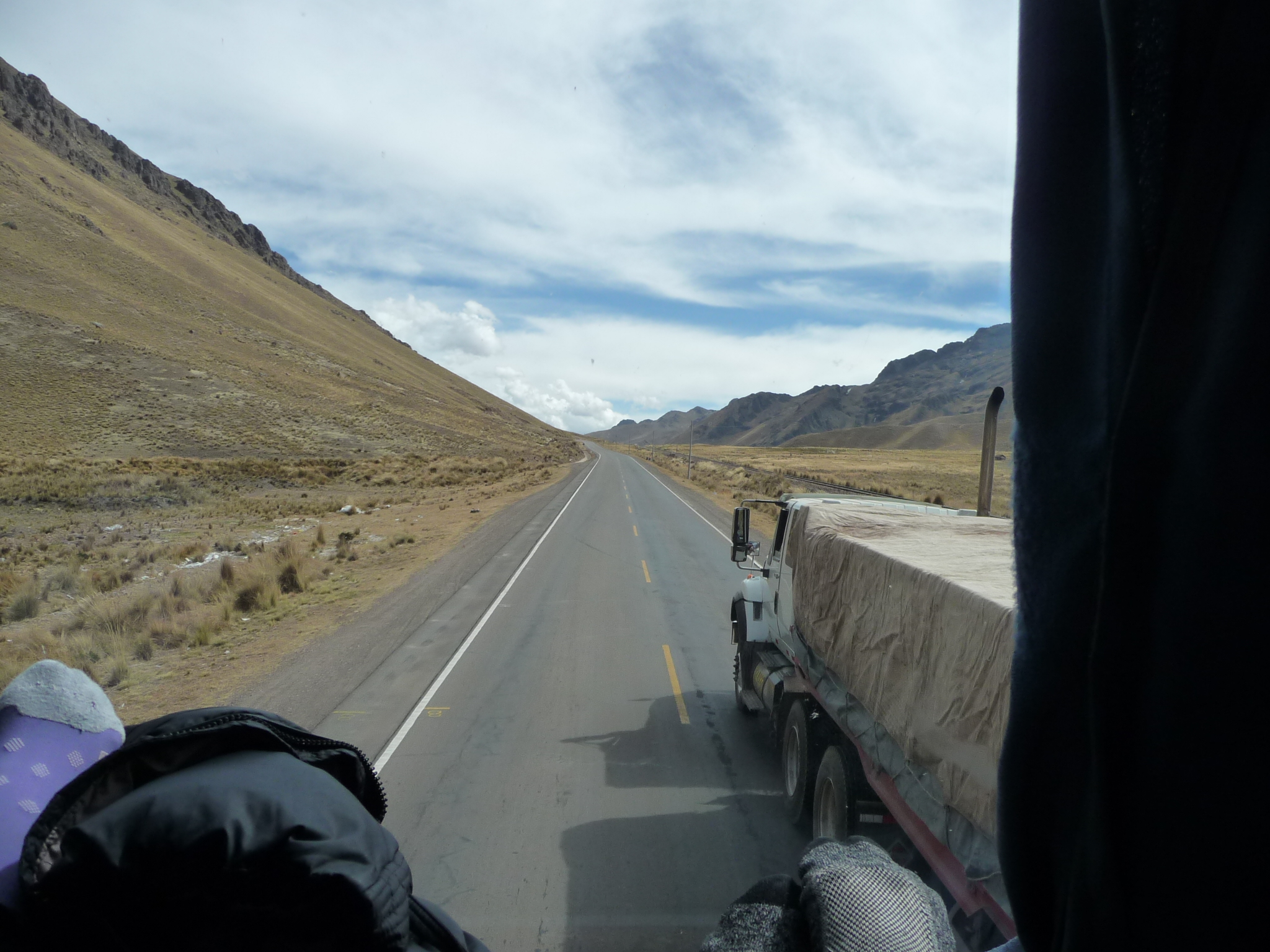
On Sunday morning, June 15, 2014, I arrive early at the bus terminal, and my bus is a little late. After a long wait, I finally make my way to my seat. I am on the upper level in the very front, with a large window in front and to my right. I will have gorgeous views all the way back to Cusco.
It is shortly after 8:00 a.m. when I take this photo while the bus backs away from the terminal.
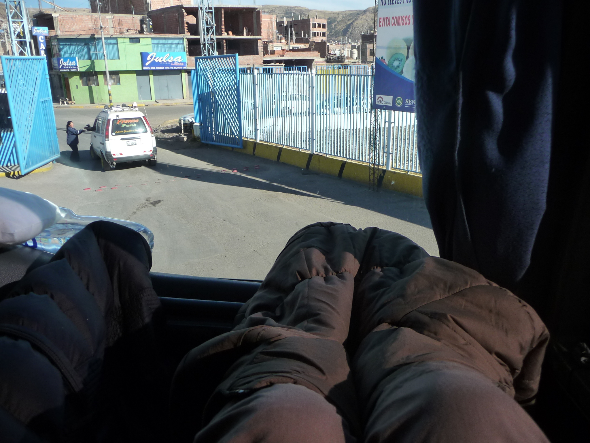
And I can put my feet up on a ledge in front of me. It is still a tiny bit cold so I wrap my feet in my coat. Later, I have the opposite problem. There is NO ventilation in the front of the top level, and the hot sun heats it up fast …
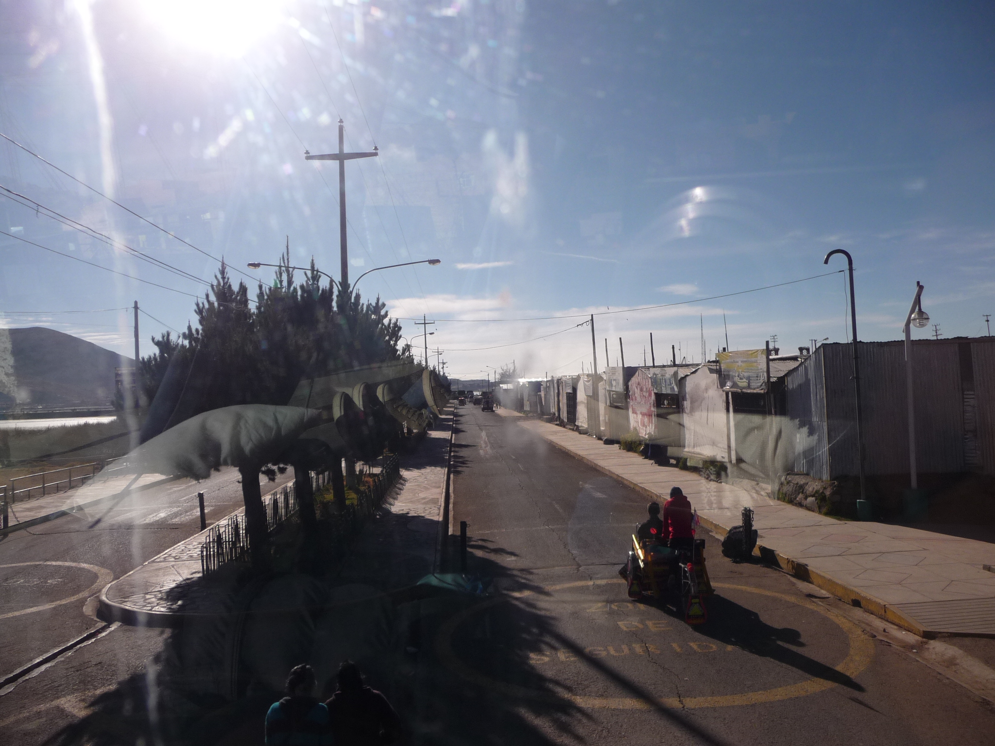
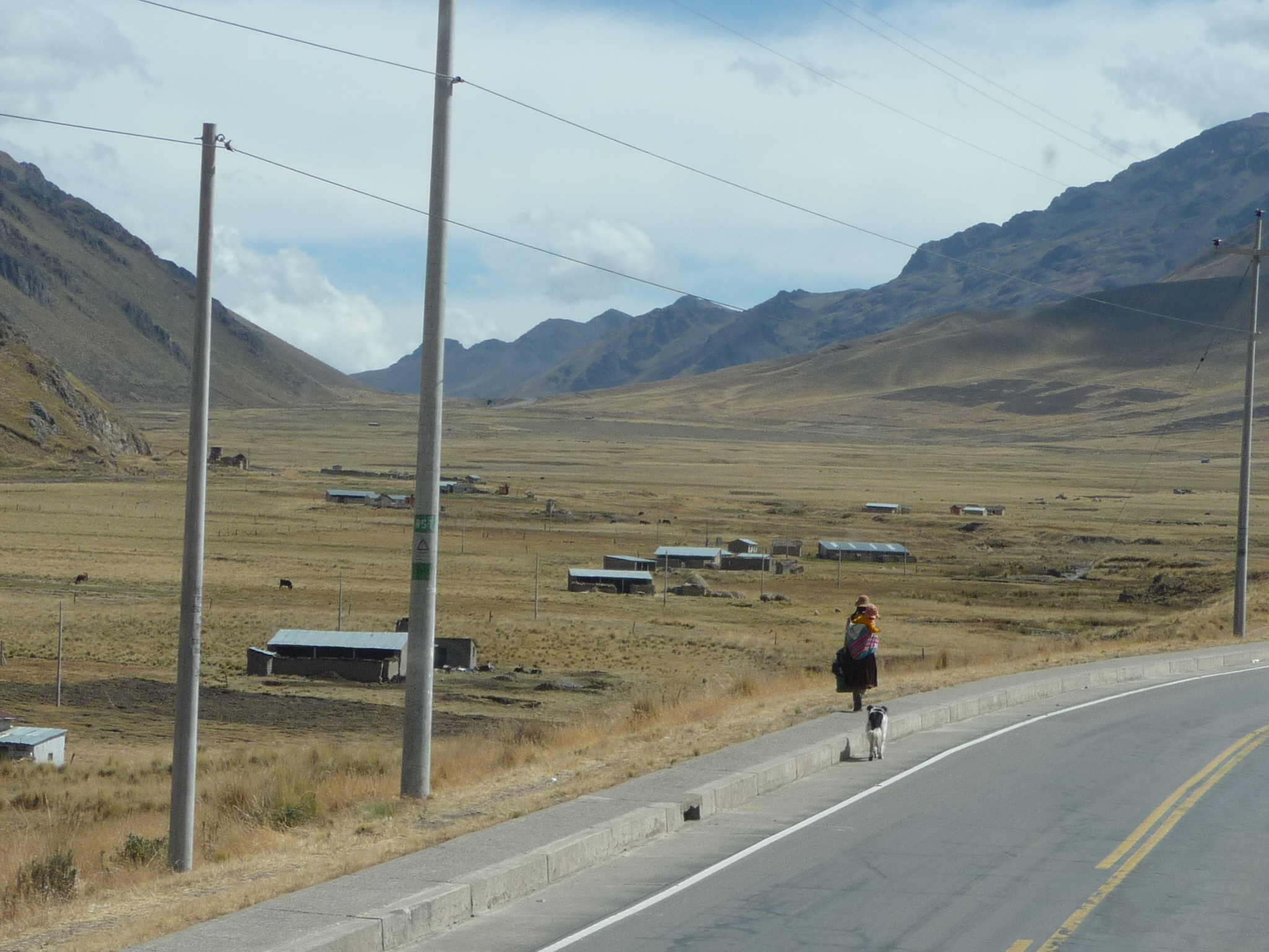
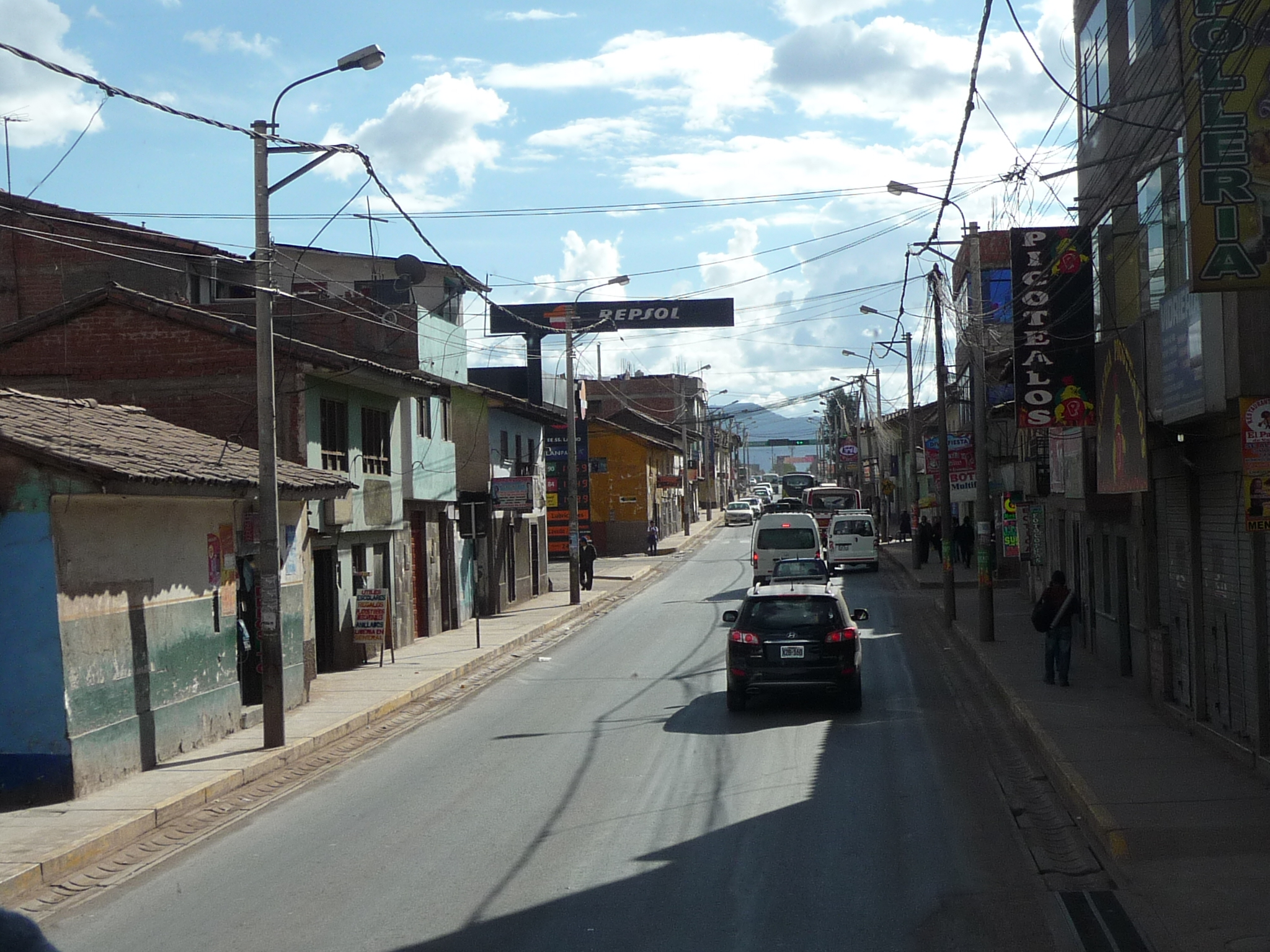
Driving down the streets of Puno on this beautiful Sunday morning. It was about a week ago, on a late Sunday morning, that I first began this journey.
Sorry for the glare … the morning sun is bright.
Driving along the lake.
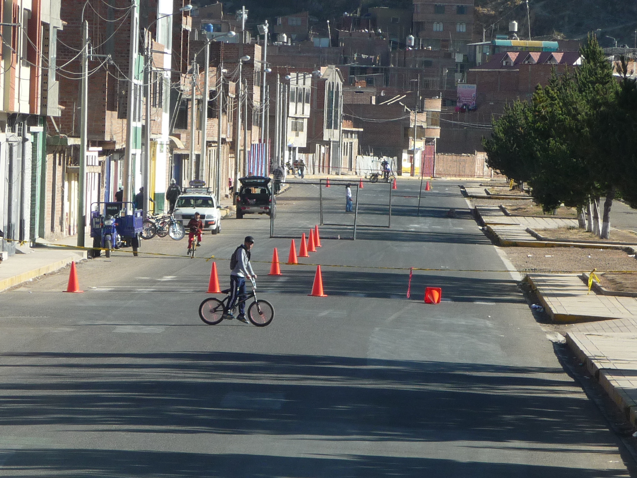
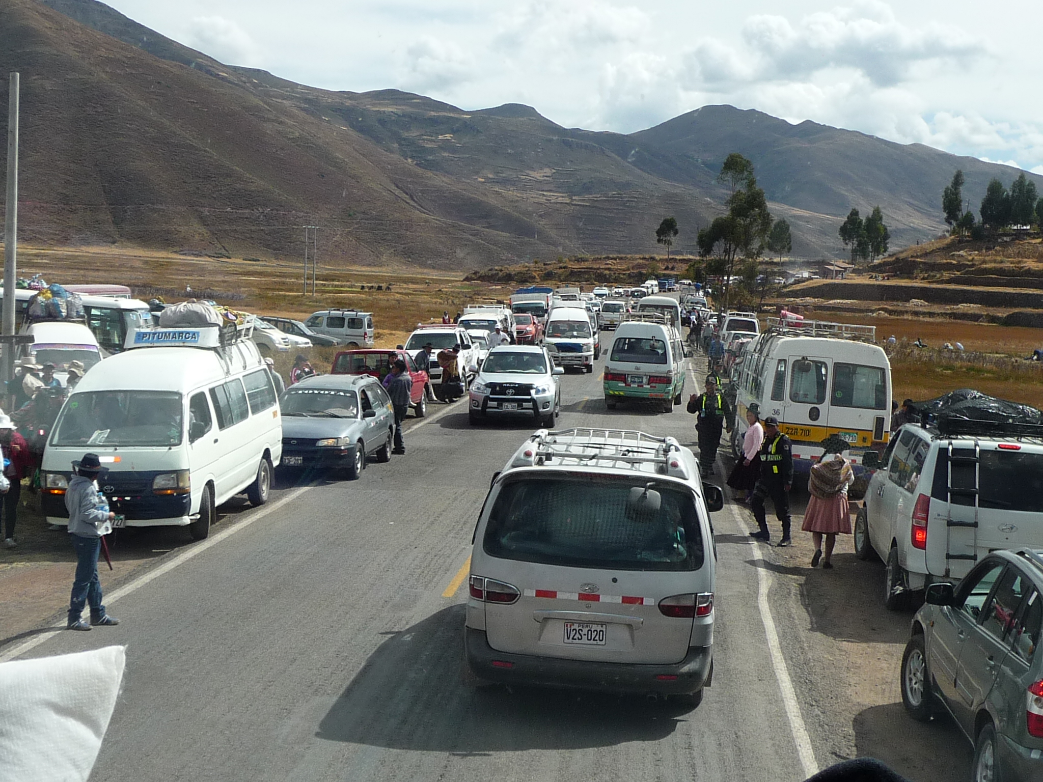
Suddenly, the road ahead is completely blocked. The bus driver has to back up for a block, back into a side street to turn around, and then we squeeze through a different part of town in search of a way to leave.
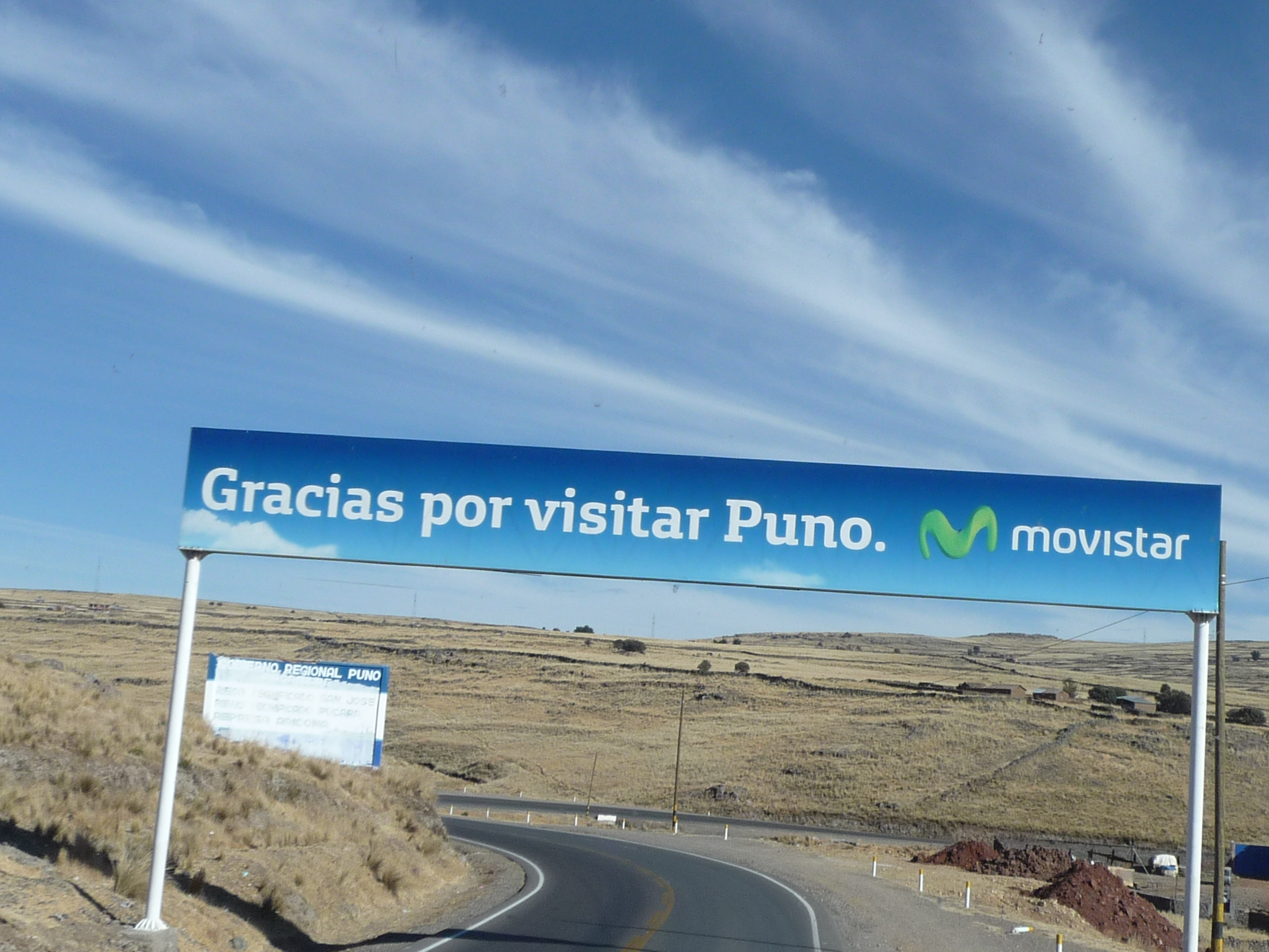
Finally, we are on the highway, leaving Puno. The sign reads “Thank you for visiting Puno.”
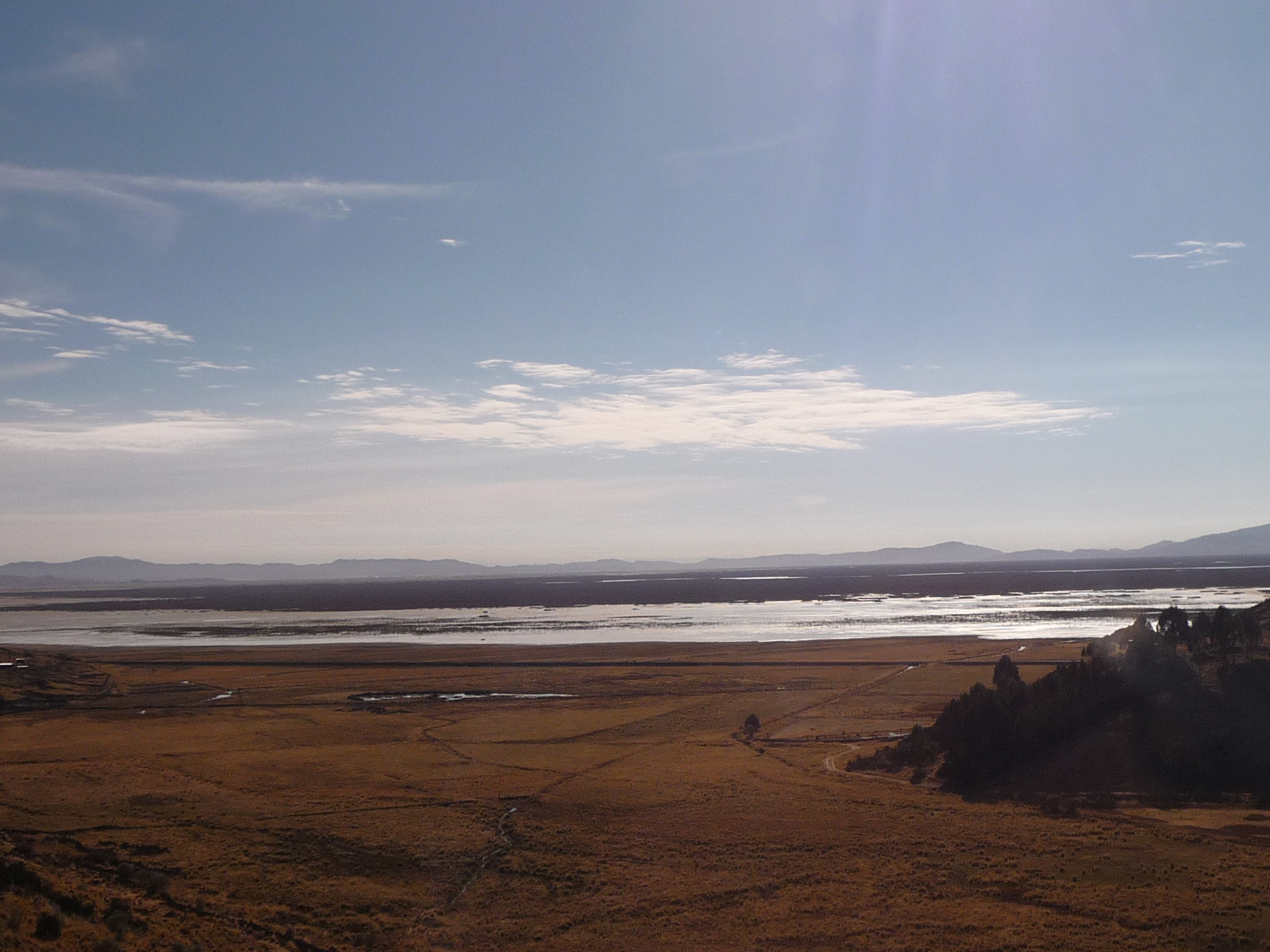
As we drive to the north, we are in the “altiplano” or “high plains”. To the right is the “nature reserve” section of Lake Titicaca, at the north end, just around the mountain from Puno.
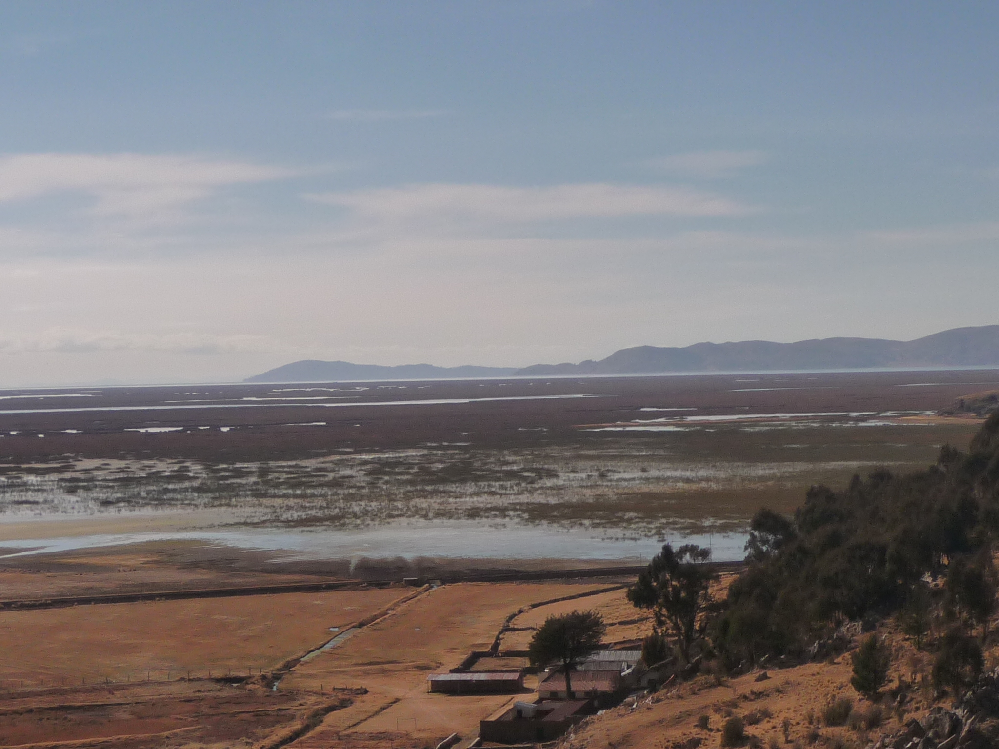
A closer view of the nature reserve. Some of the Uros floating islands are down in there, but I cannot see any in this photo.
Another view in the same general area.
I take a lot of photos on this journey. You can skip them if you like, but I love nature and travel, and like to remember how different areas look.
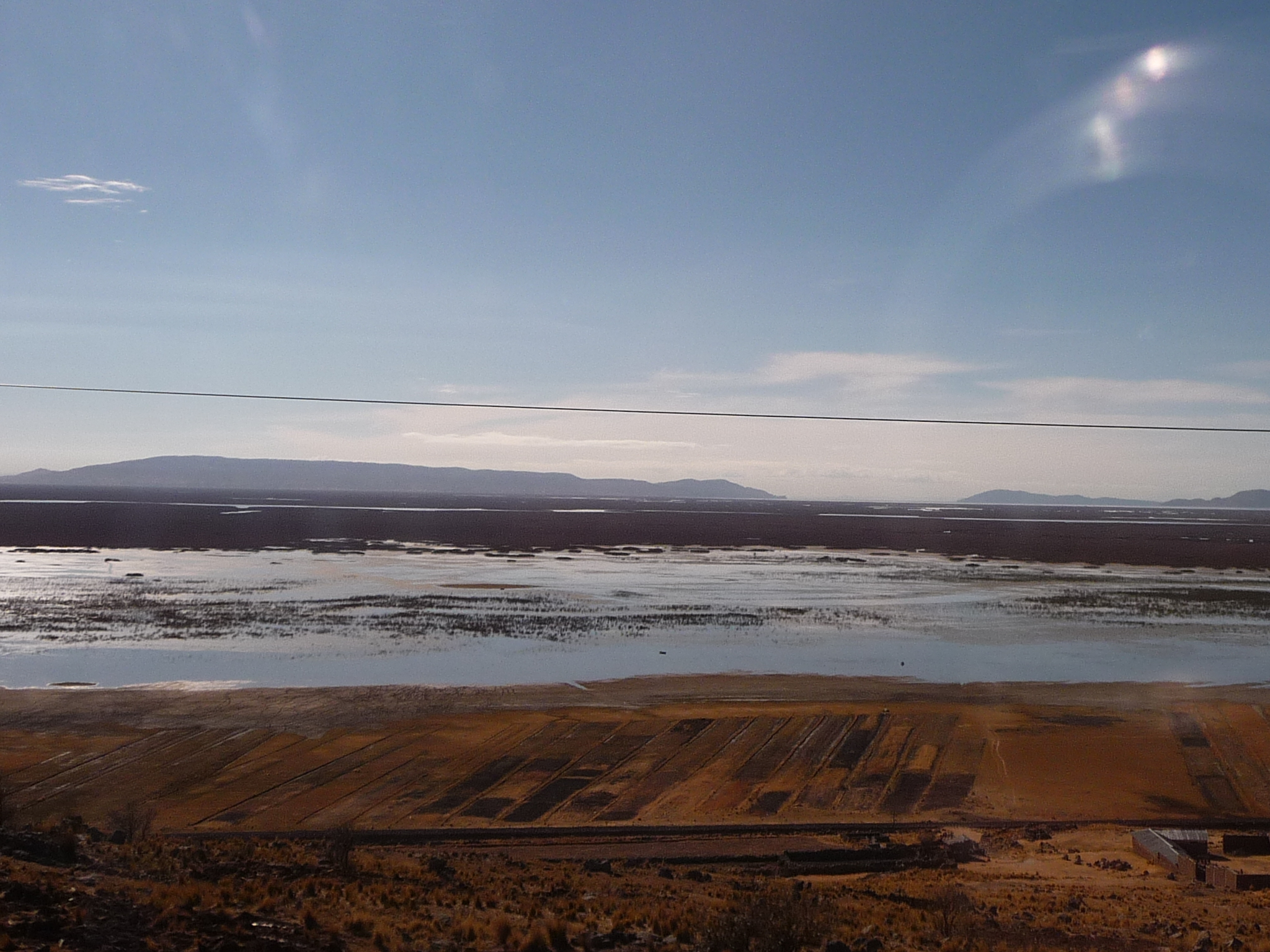
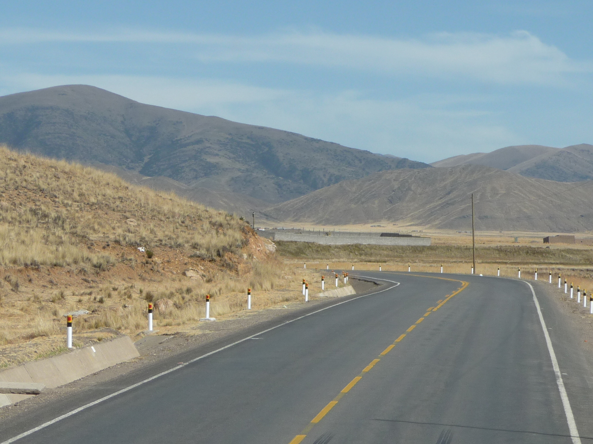
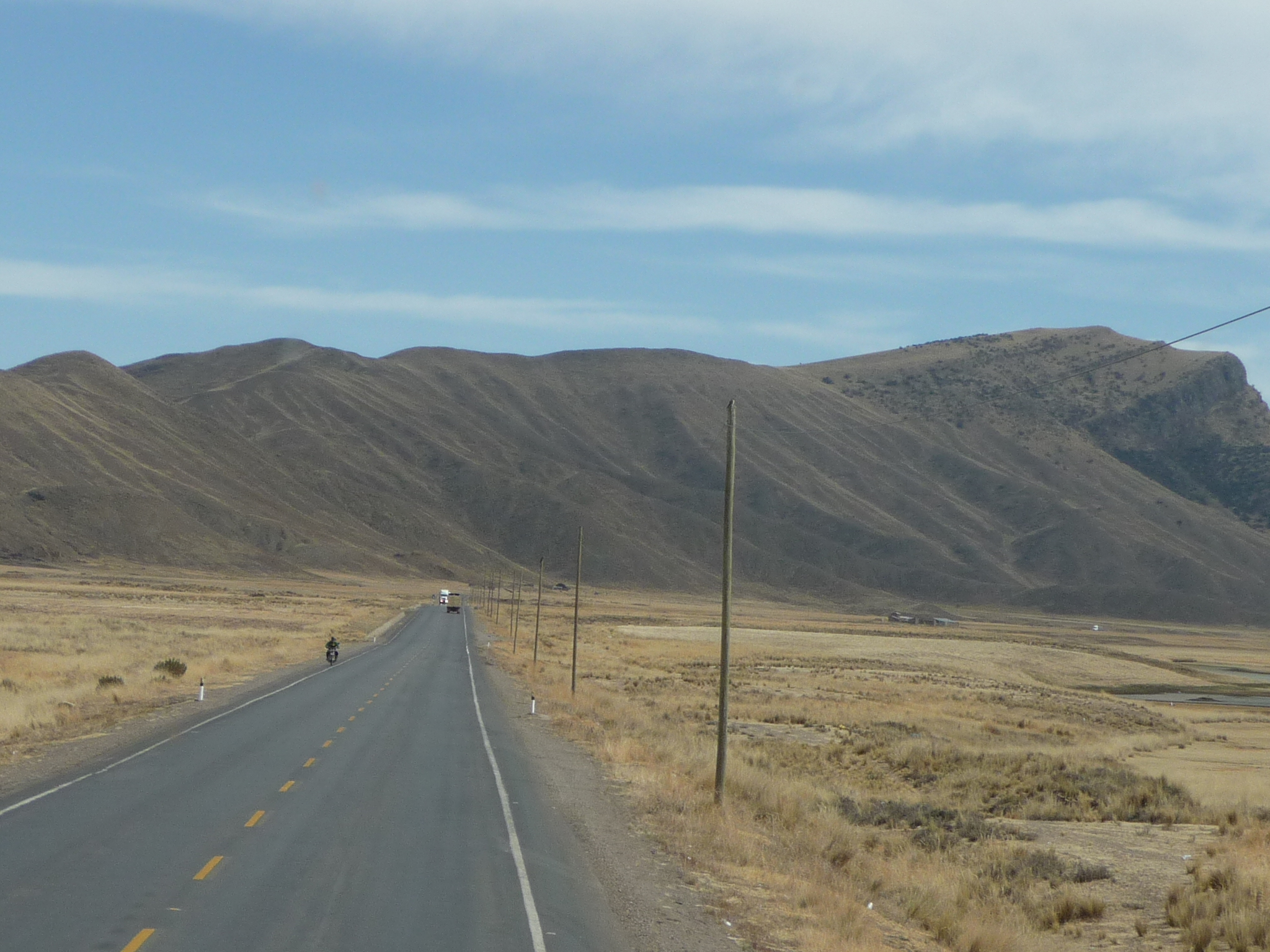
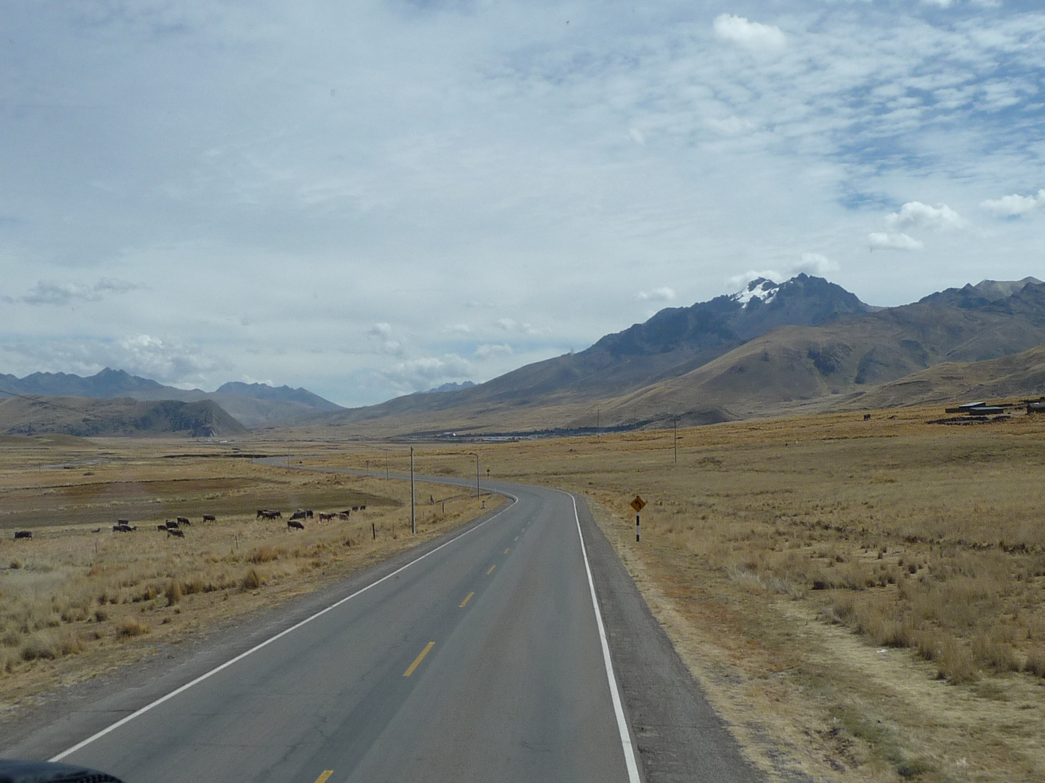
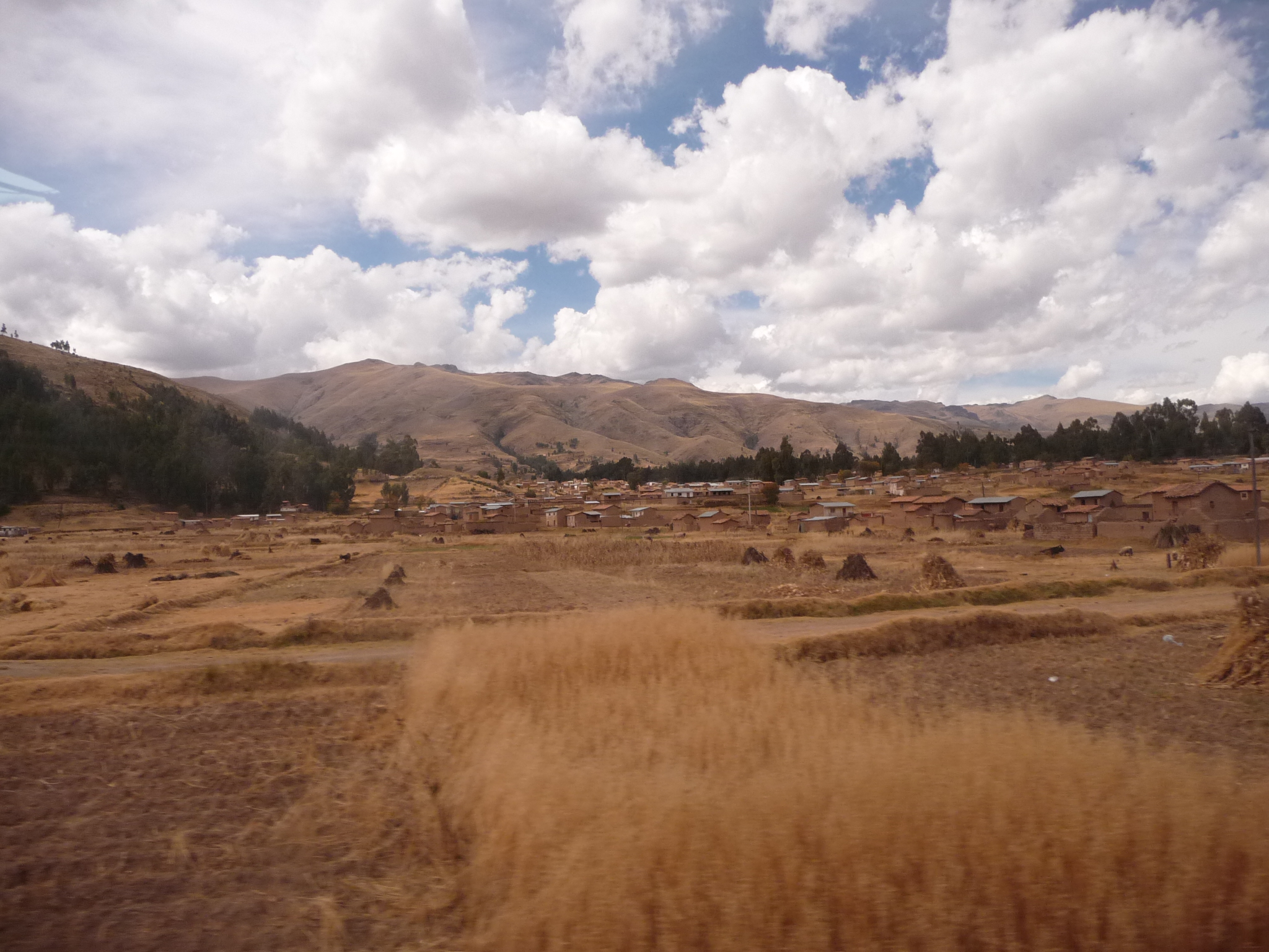
In this photo we continue driving north on the altiplano.
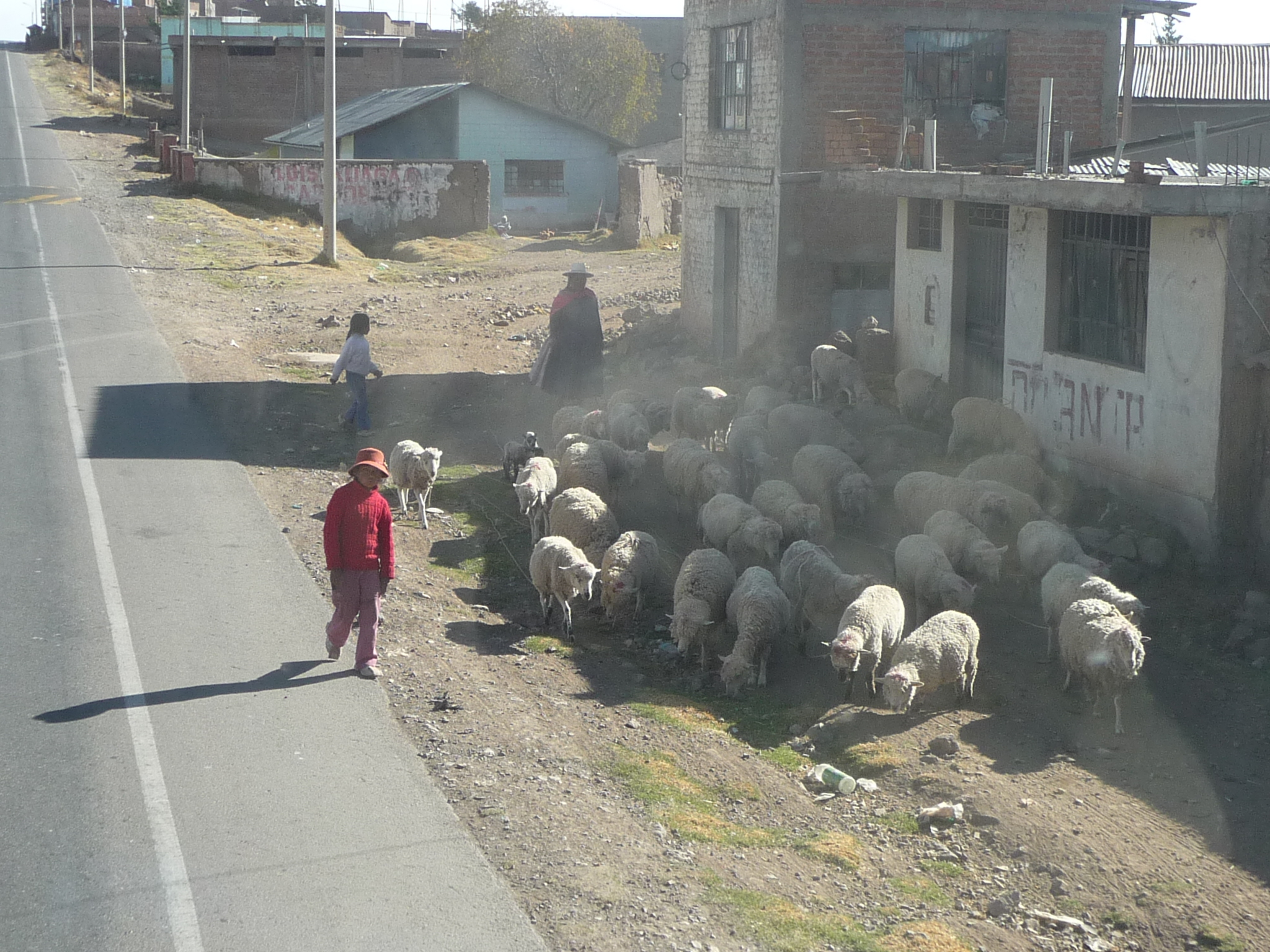
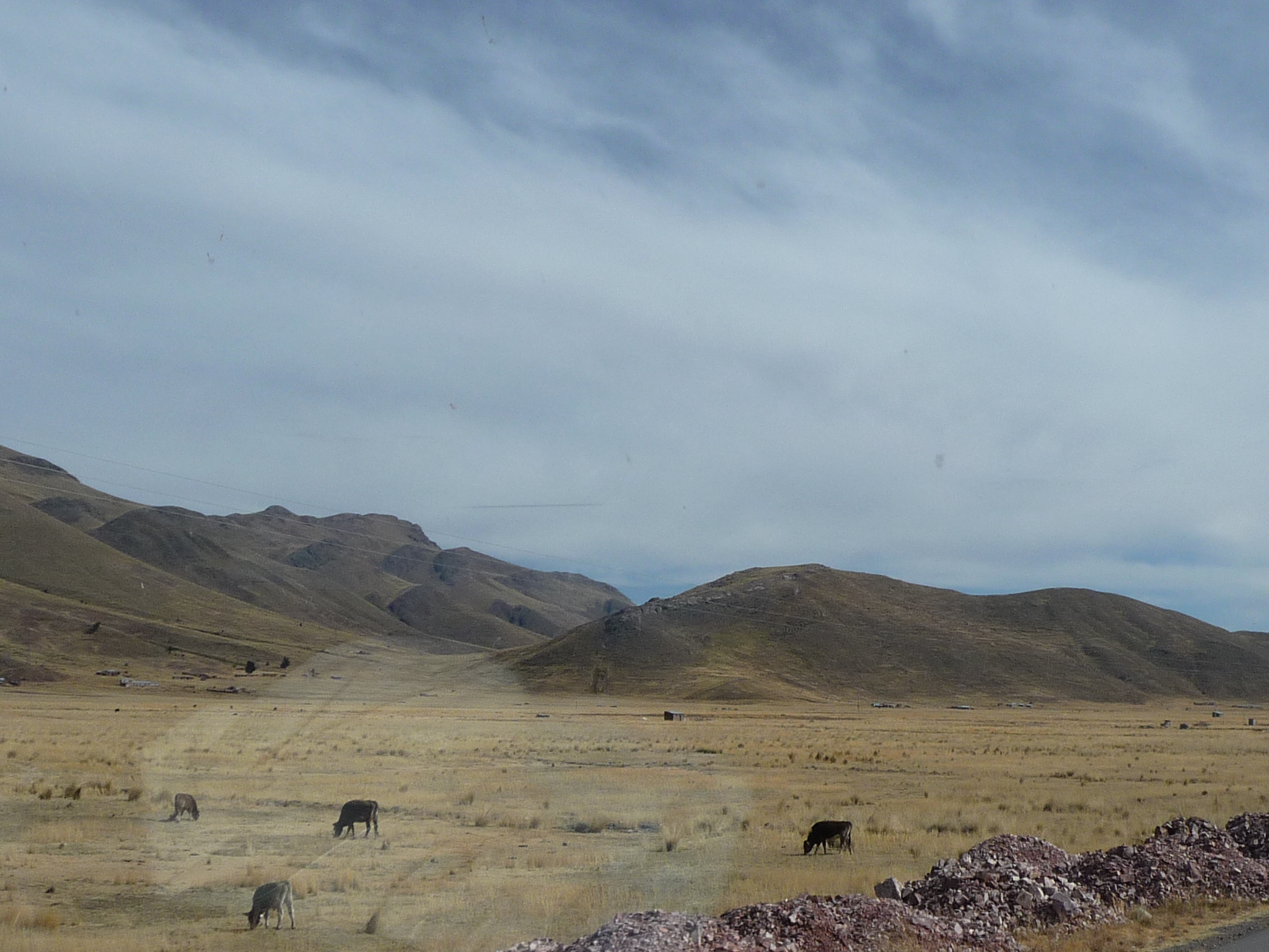
I quickly grab my camera when I see this herd of sheep along the highway as we drive trough a small town.
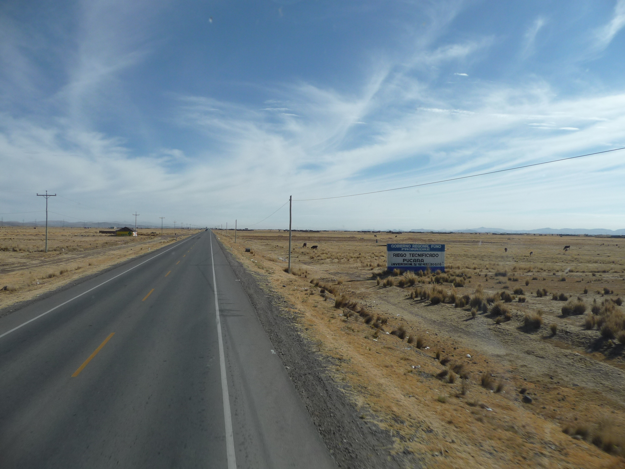
More of the highway in this region. It is very flat here. I can only presume that the lake level used to be much higher, and that this is all old lake bed.
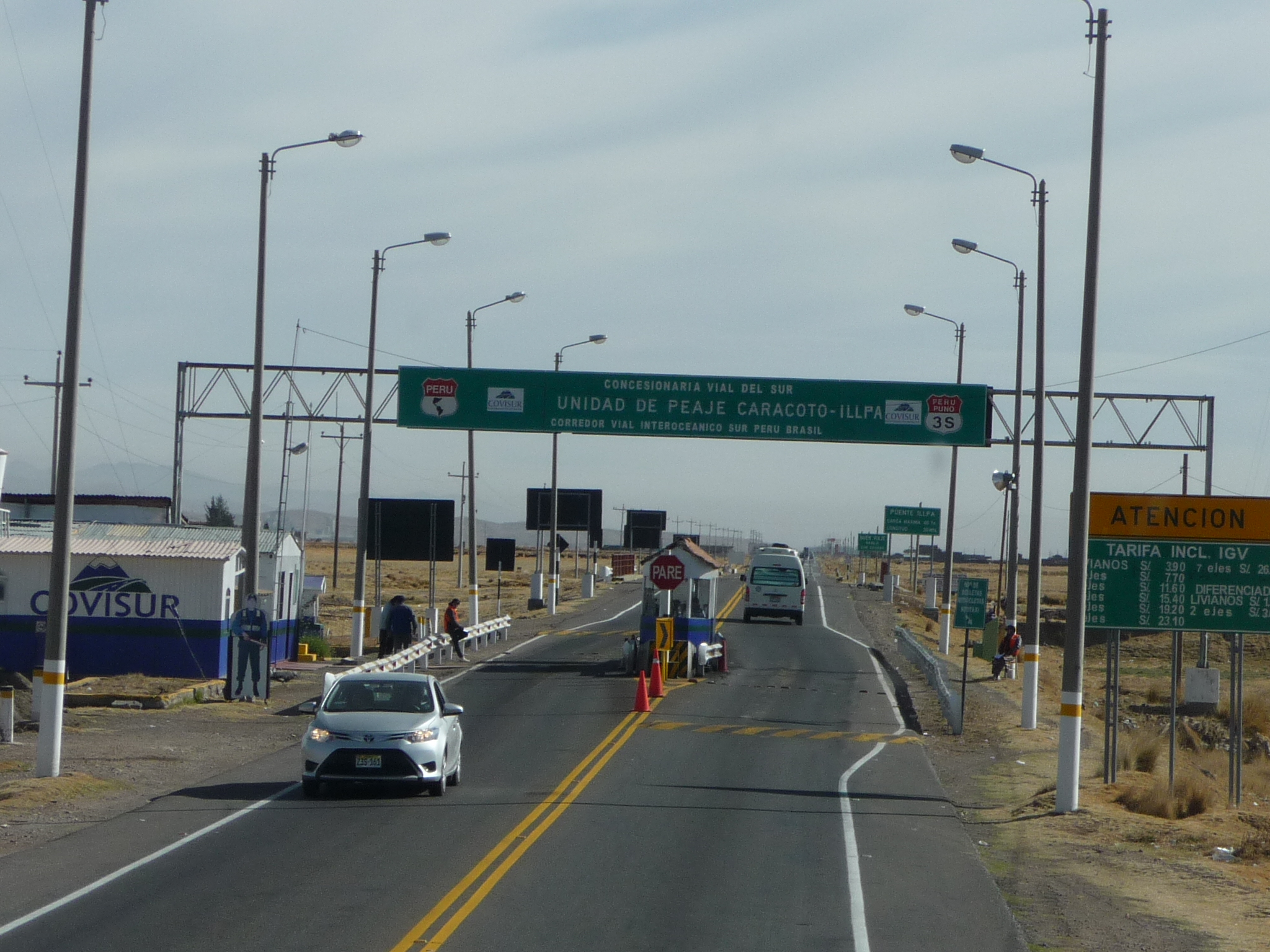
We pass through several of these toll booths. The bus never pays … at least it doesn’t look like we do. We go through slowly and then resume our journey. Maybe the bus prepays with passes …
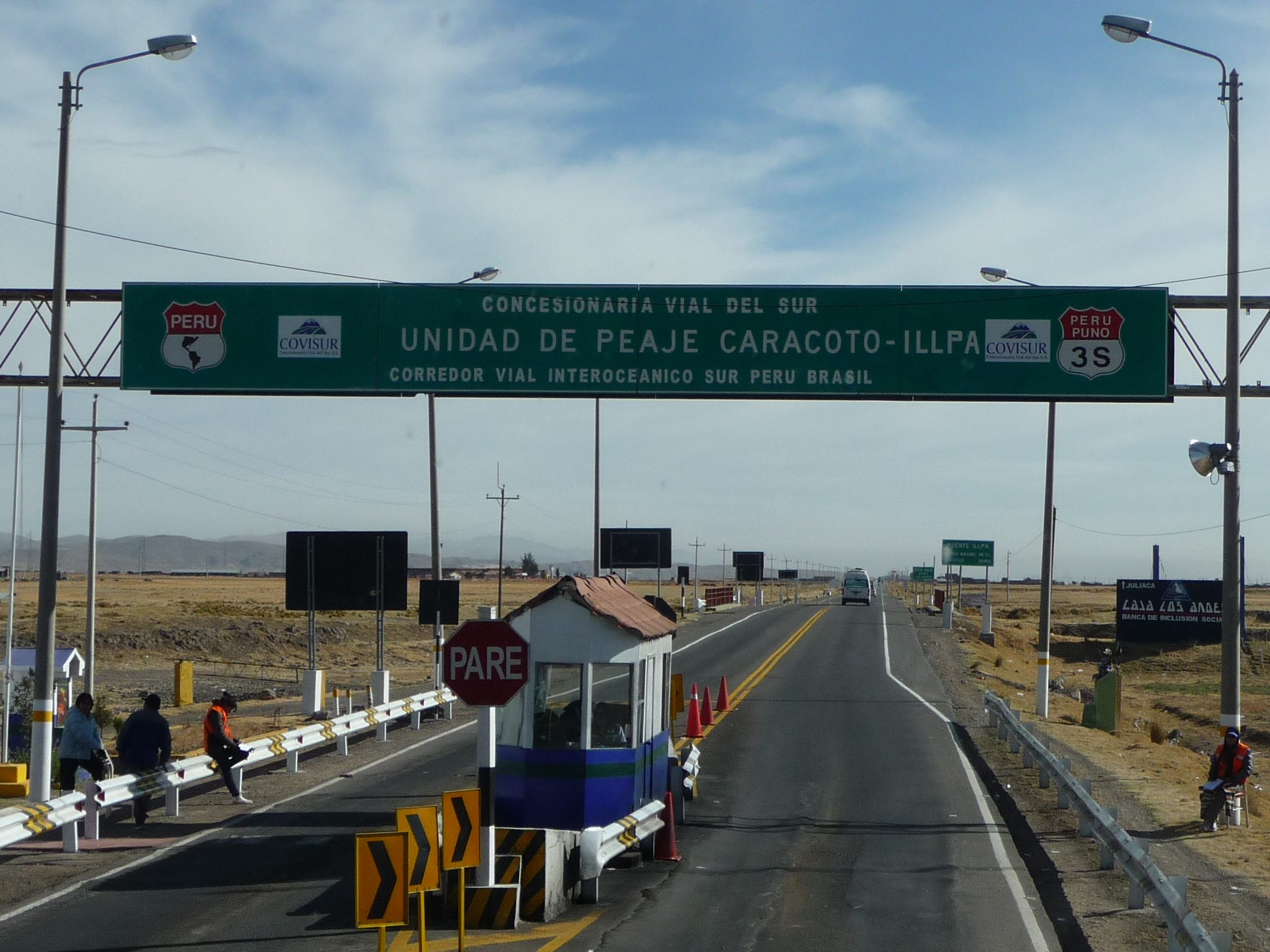
A closer view of the sign.
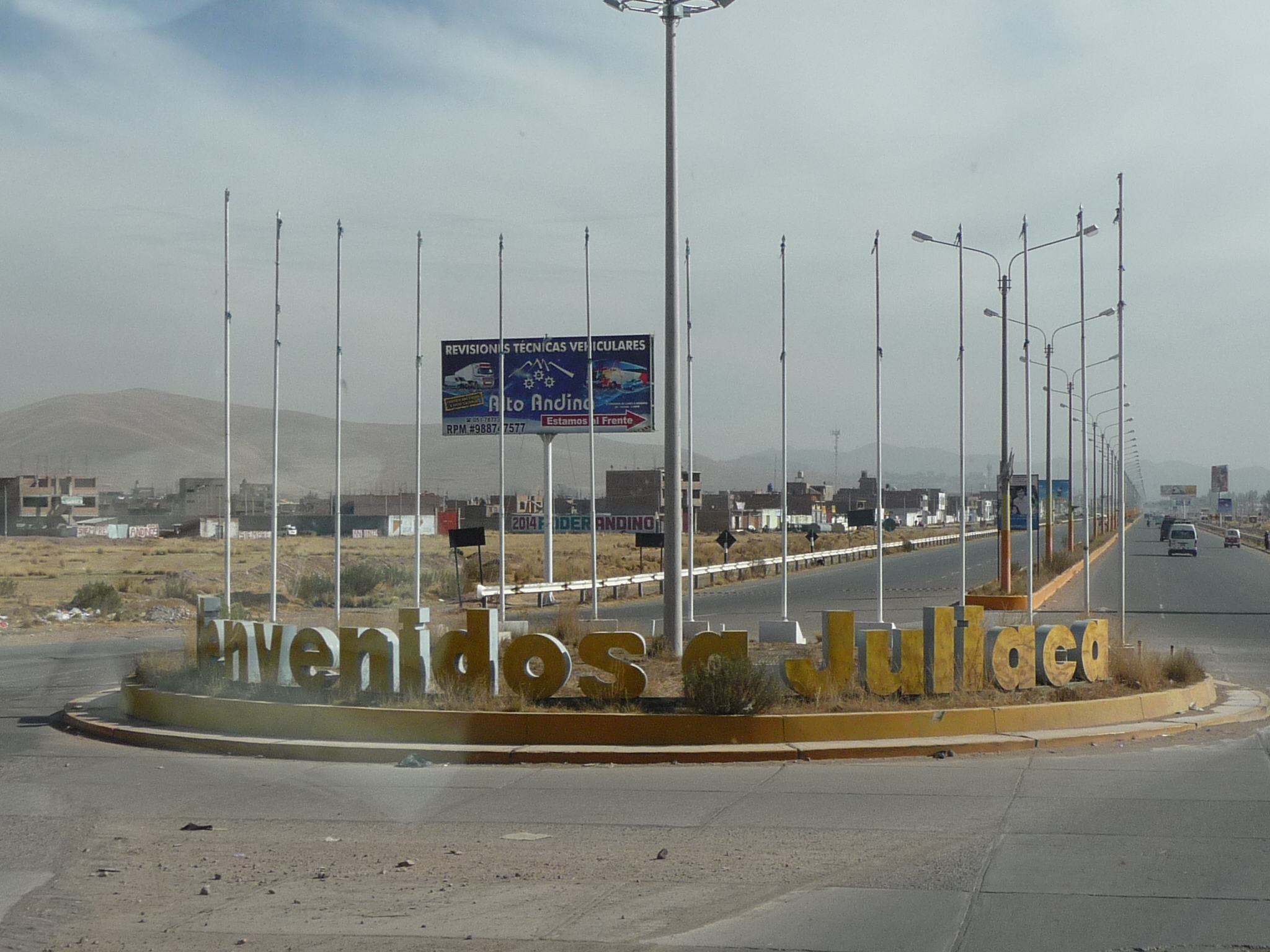
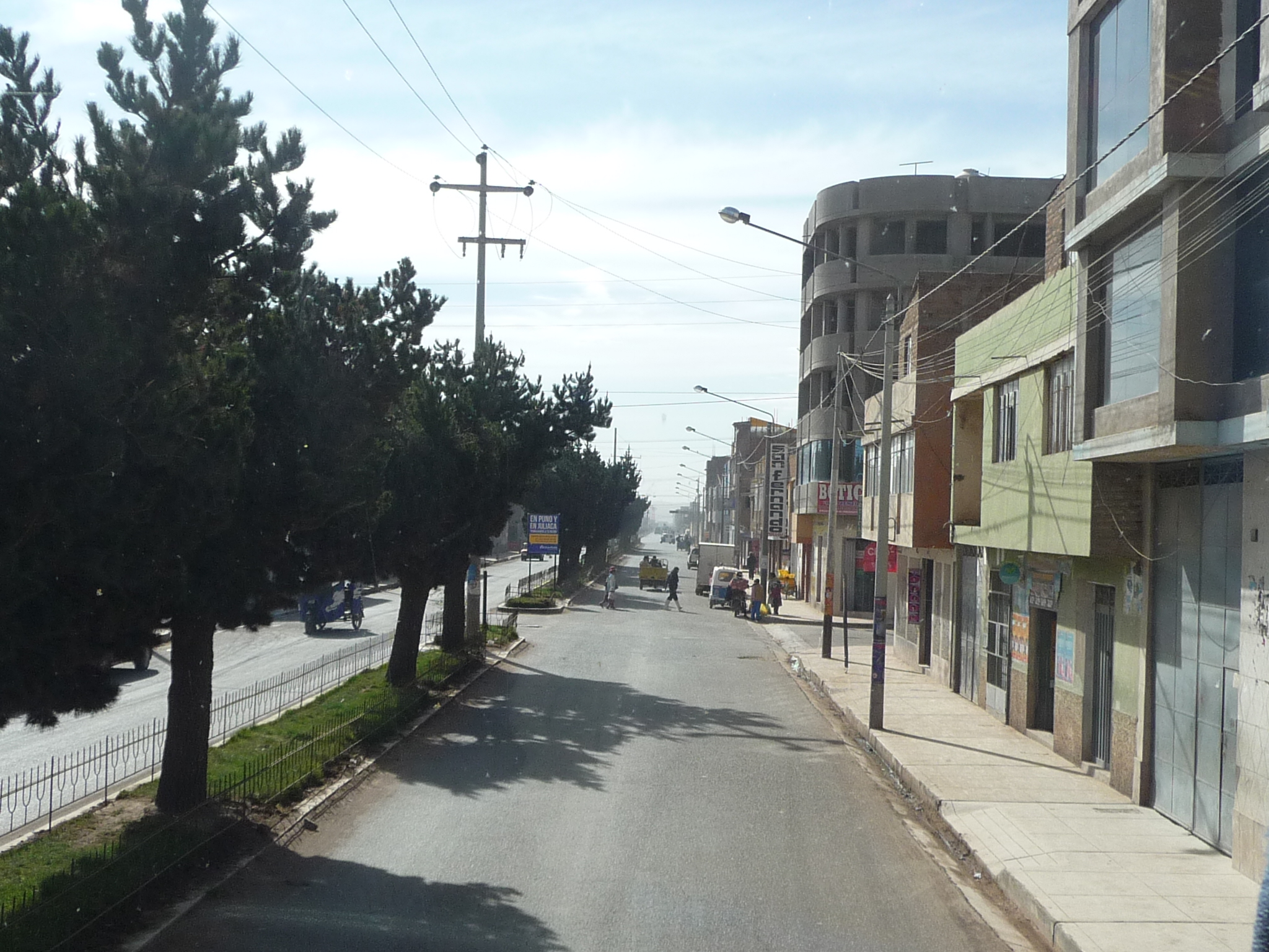
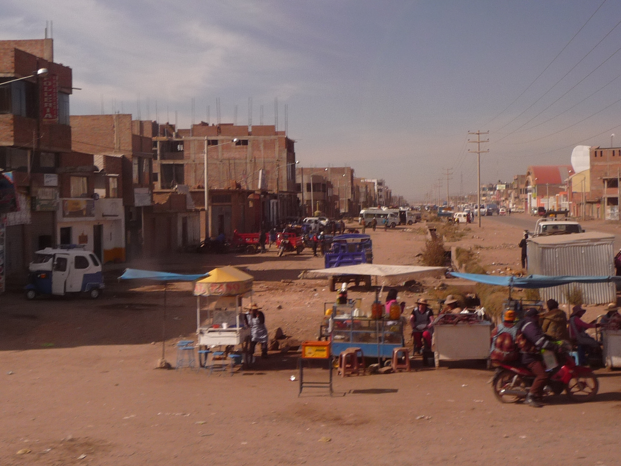
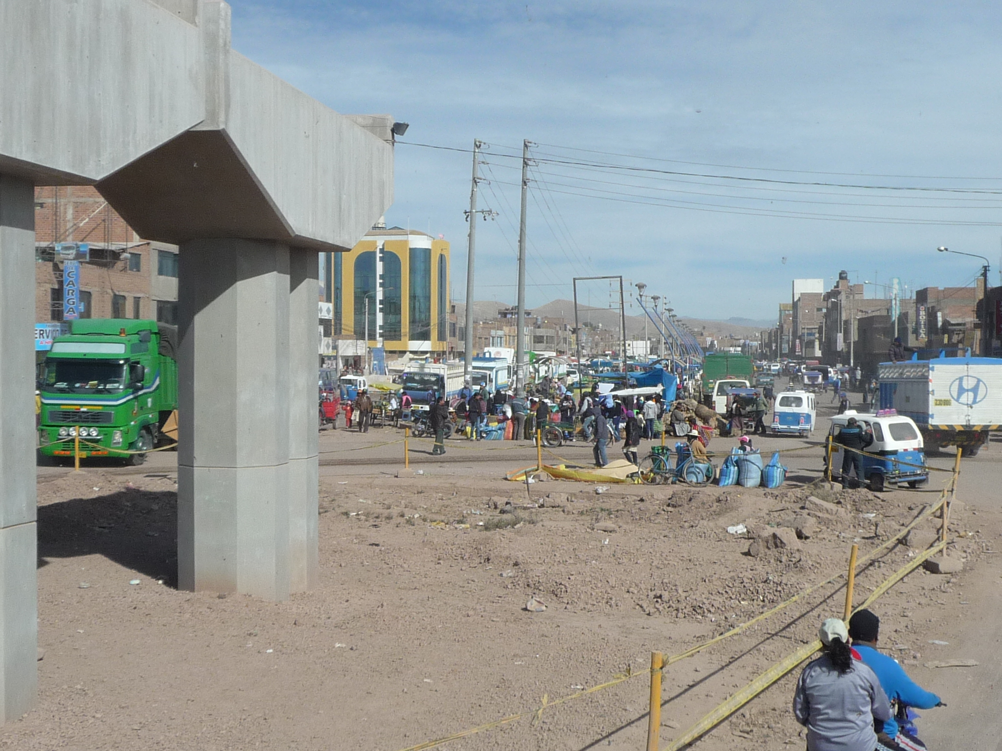
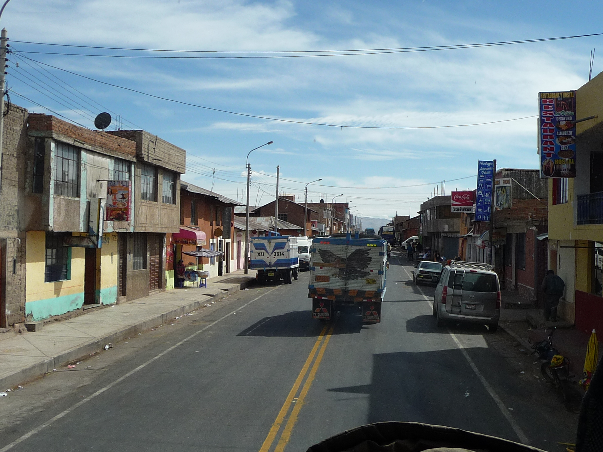
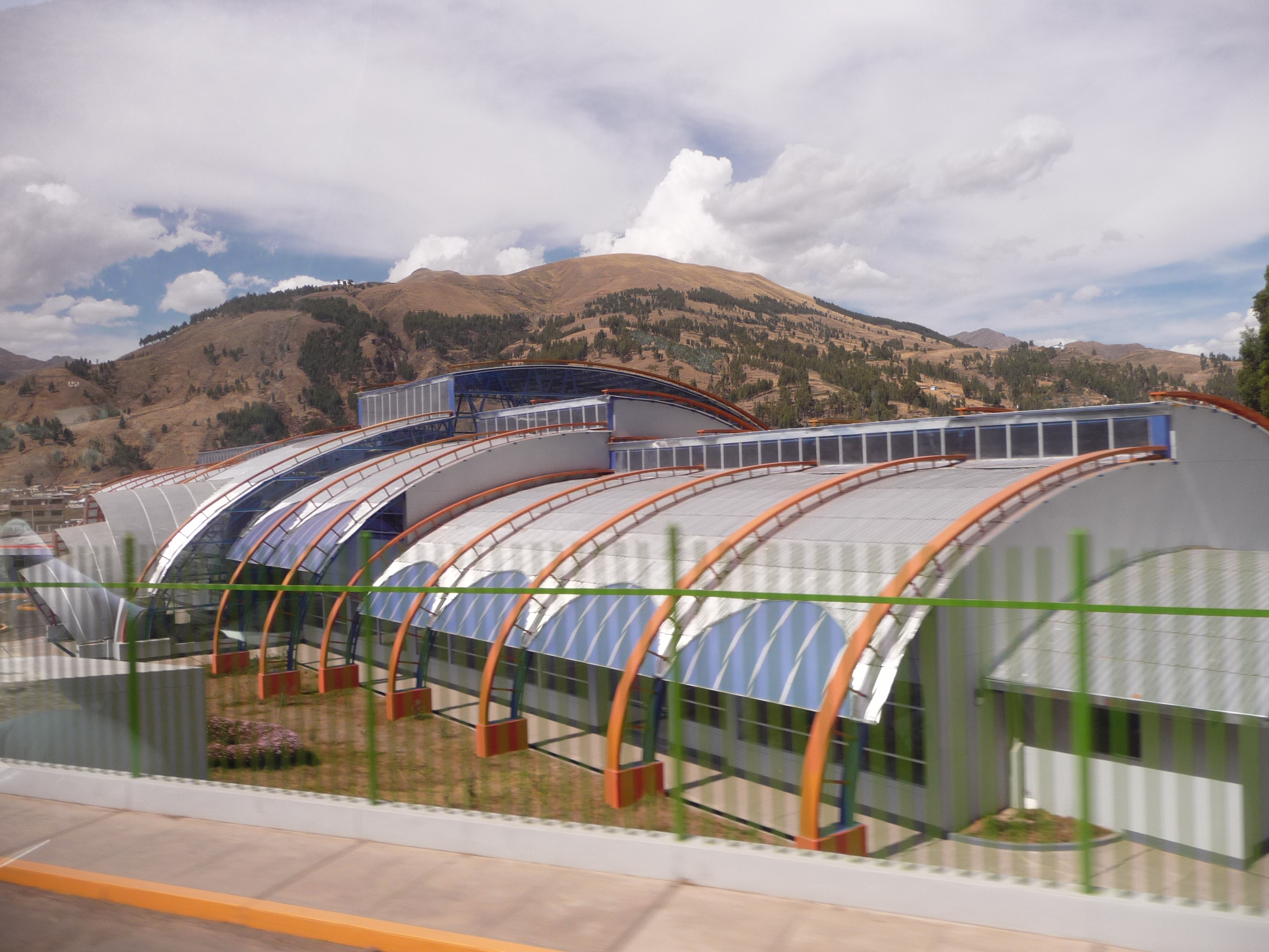
We are arriving at the city of “Juliaca”. The tour book talks about this beautiful “pink” city near the north end of Lake Titicaca.
The only thing I see from the highway is lots of dust and dirty roads under construction. I am sure there are some very beautiful parts to this city.
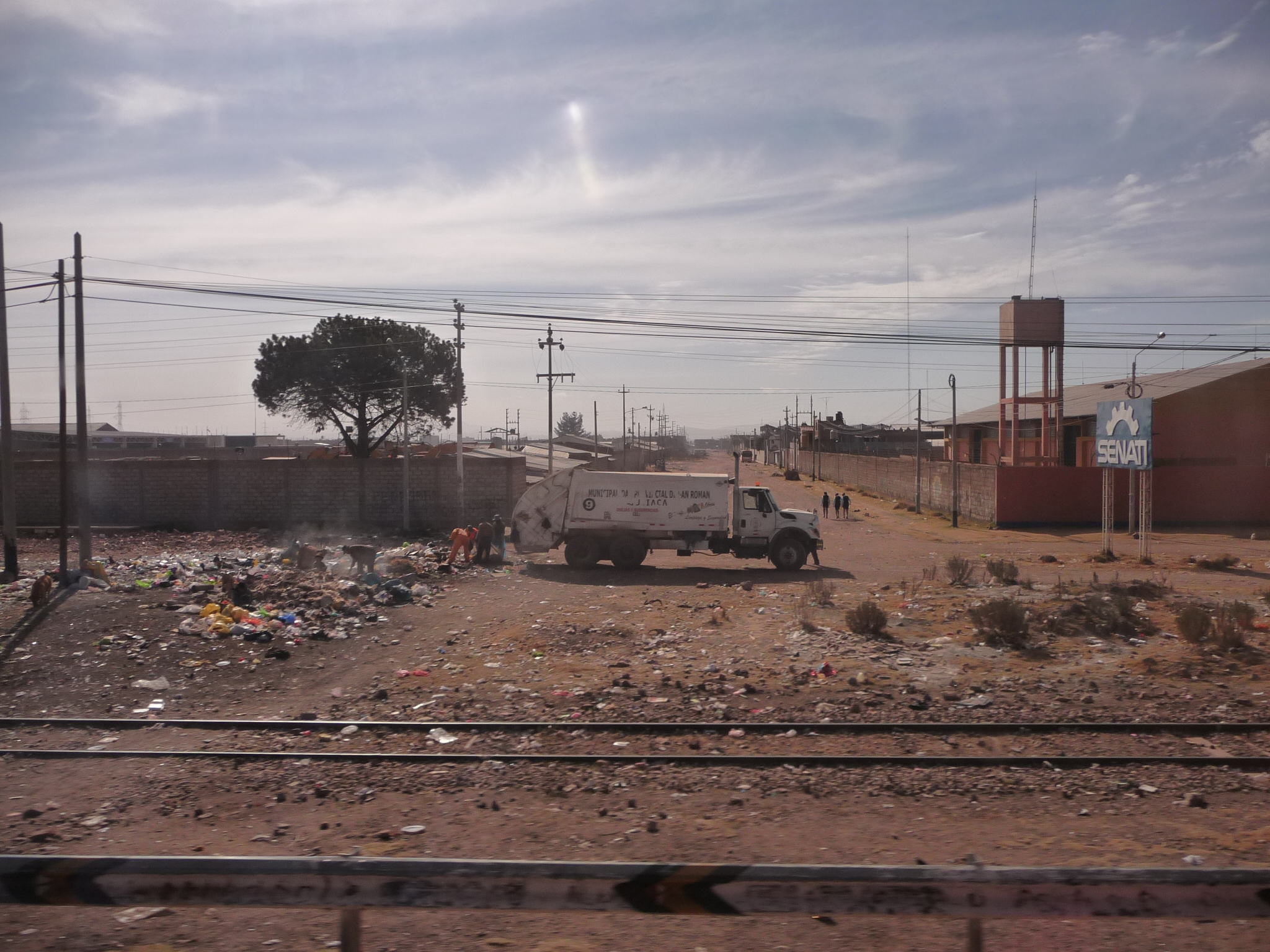
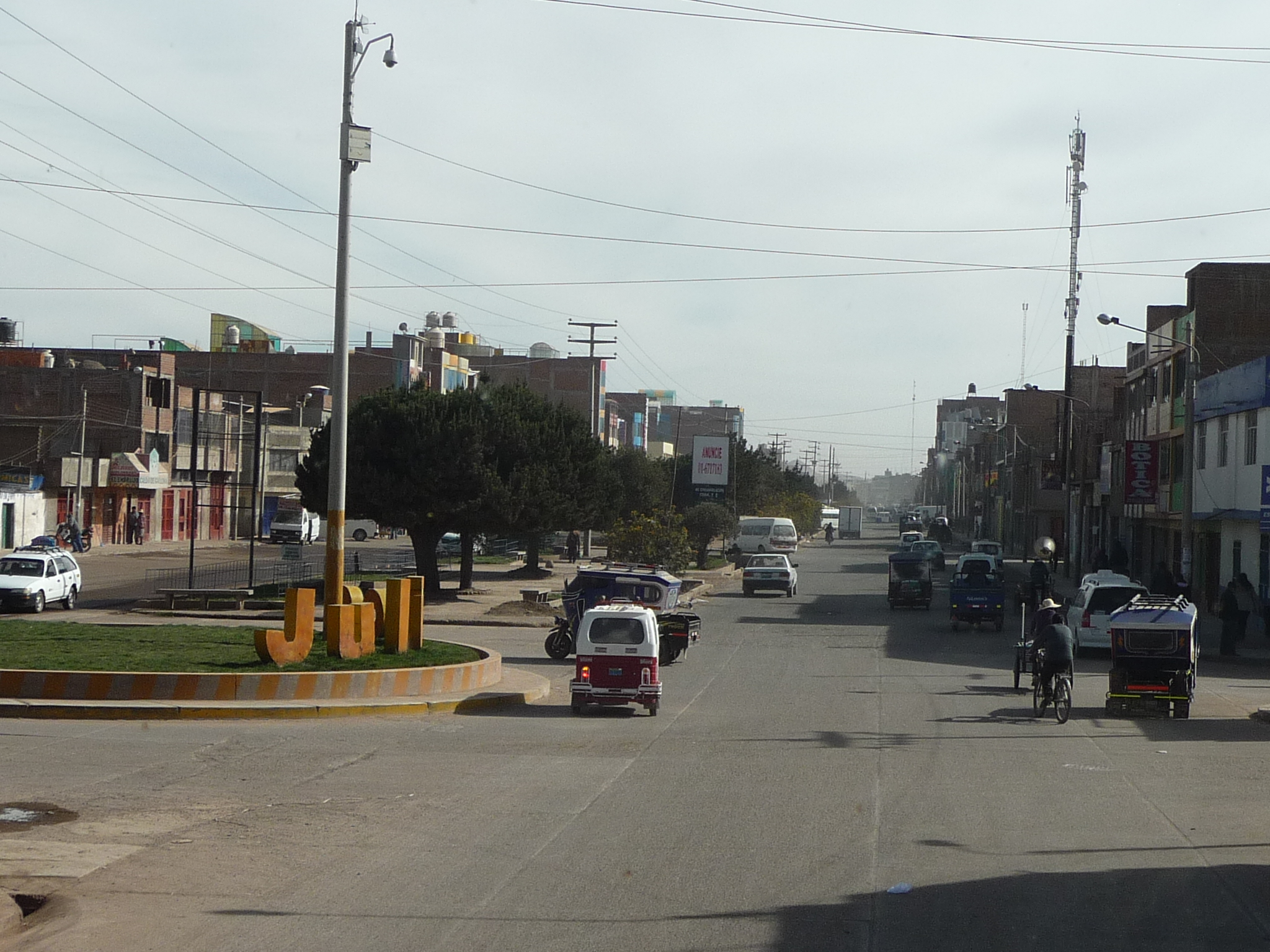
Looking down one of the streets of Juliaca near the highway.
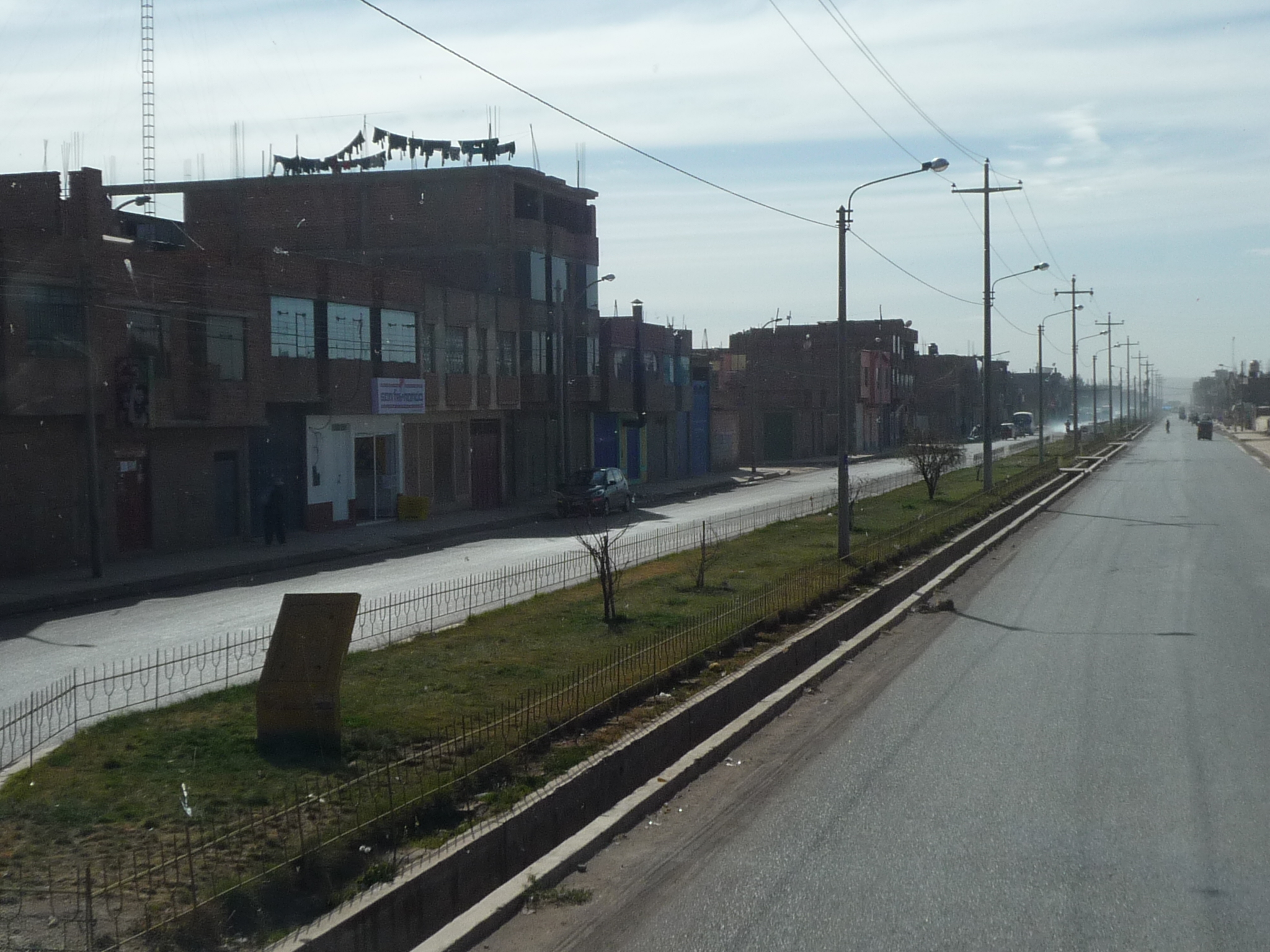
And another. There is a lot of dust in the air everywhere I look. It must be a breezy day, and the streets are all unpaved.
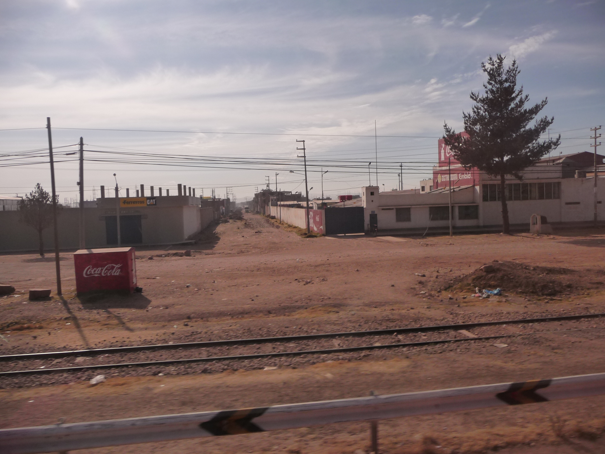
I am sure there is a beautiful part of town near an old historical center.
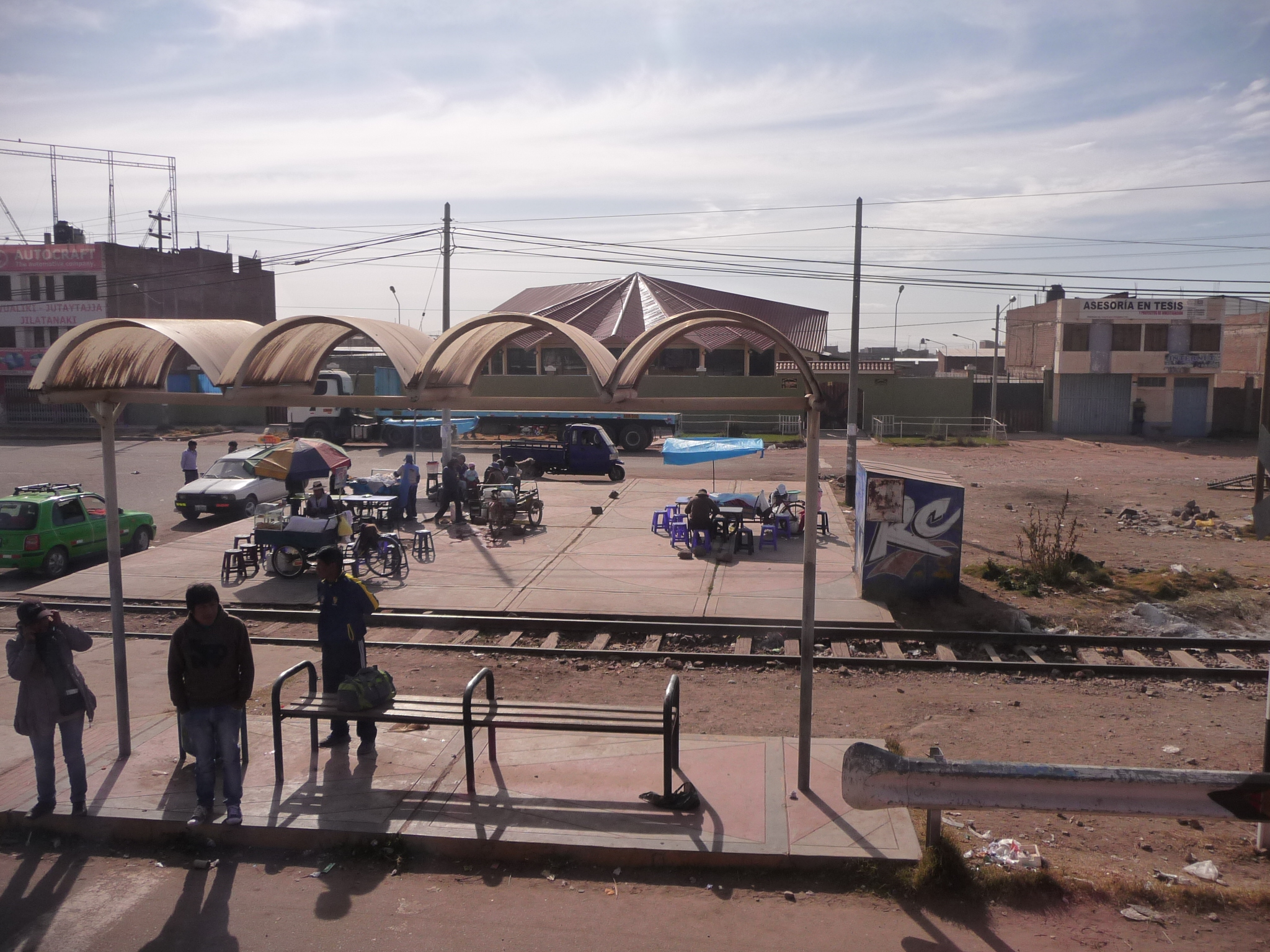
Driving by a bus stop in Juliaca.
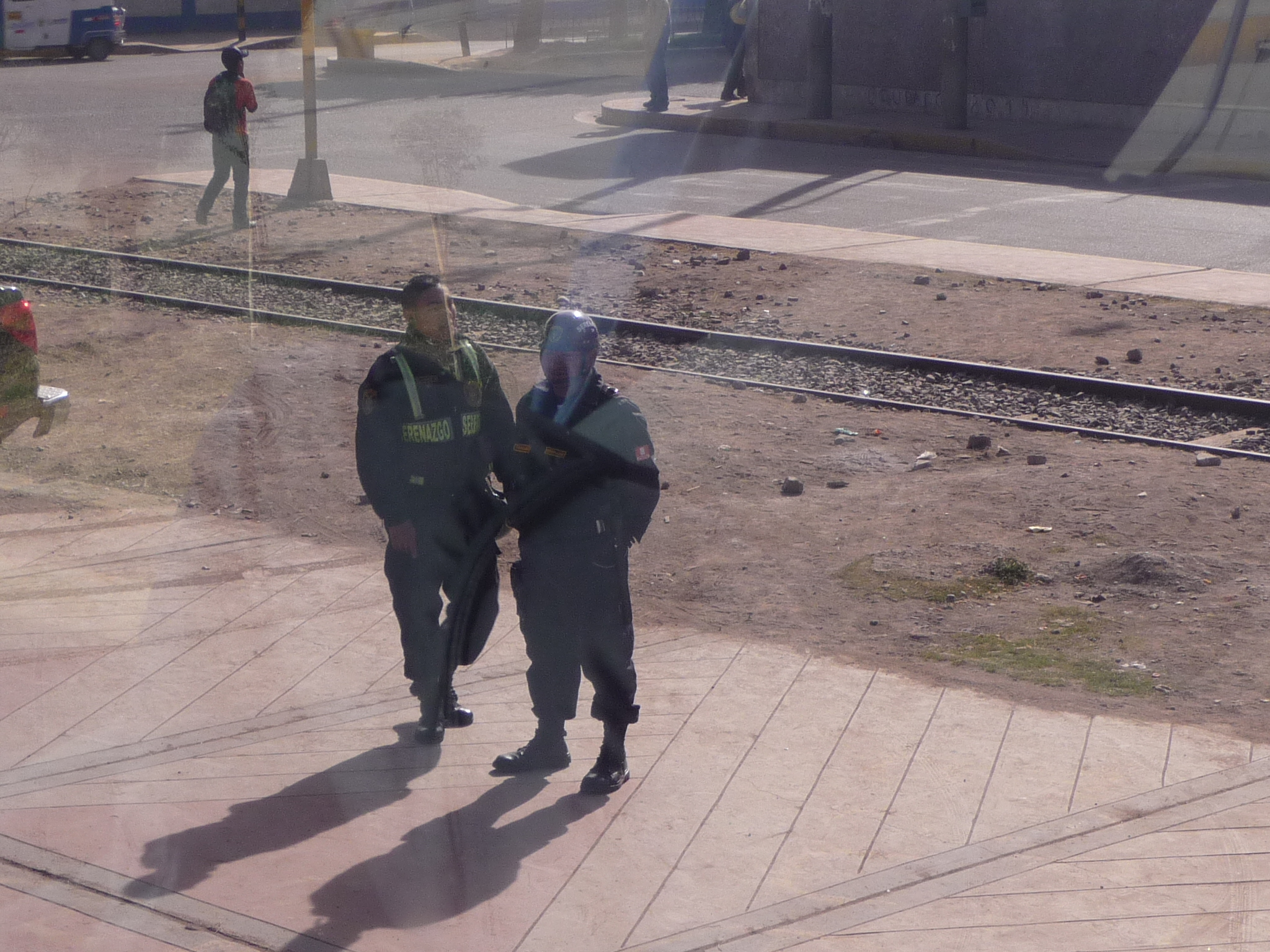
Two police officers standing by the road.
This part of town is a little nicer.
As is this one.
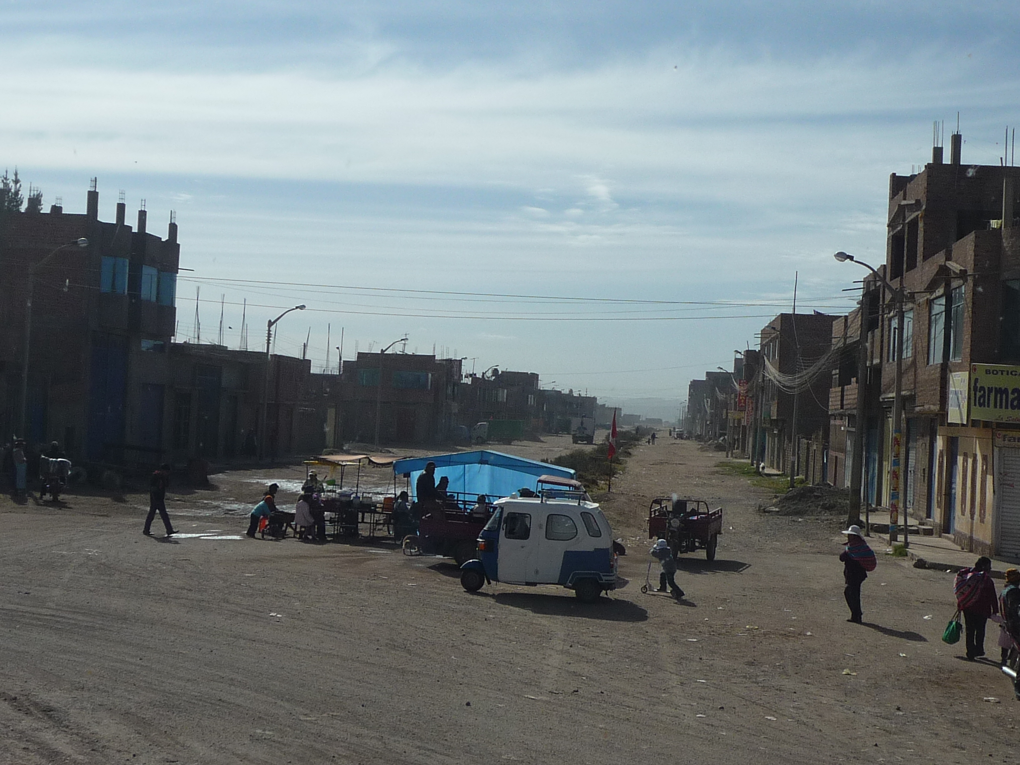
But soon, we are right back to the wide, dirty, dusty streets.
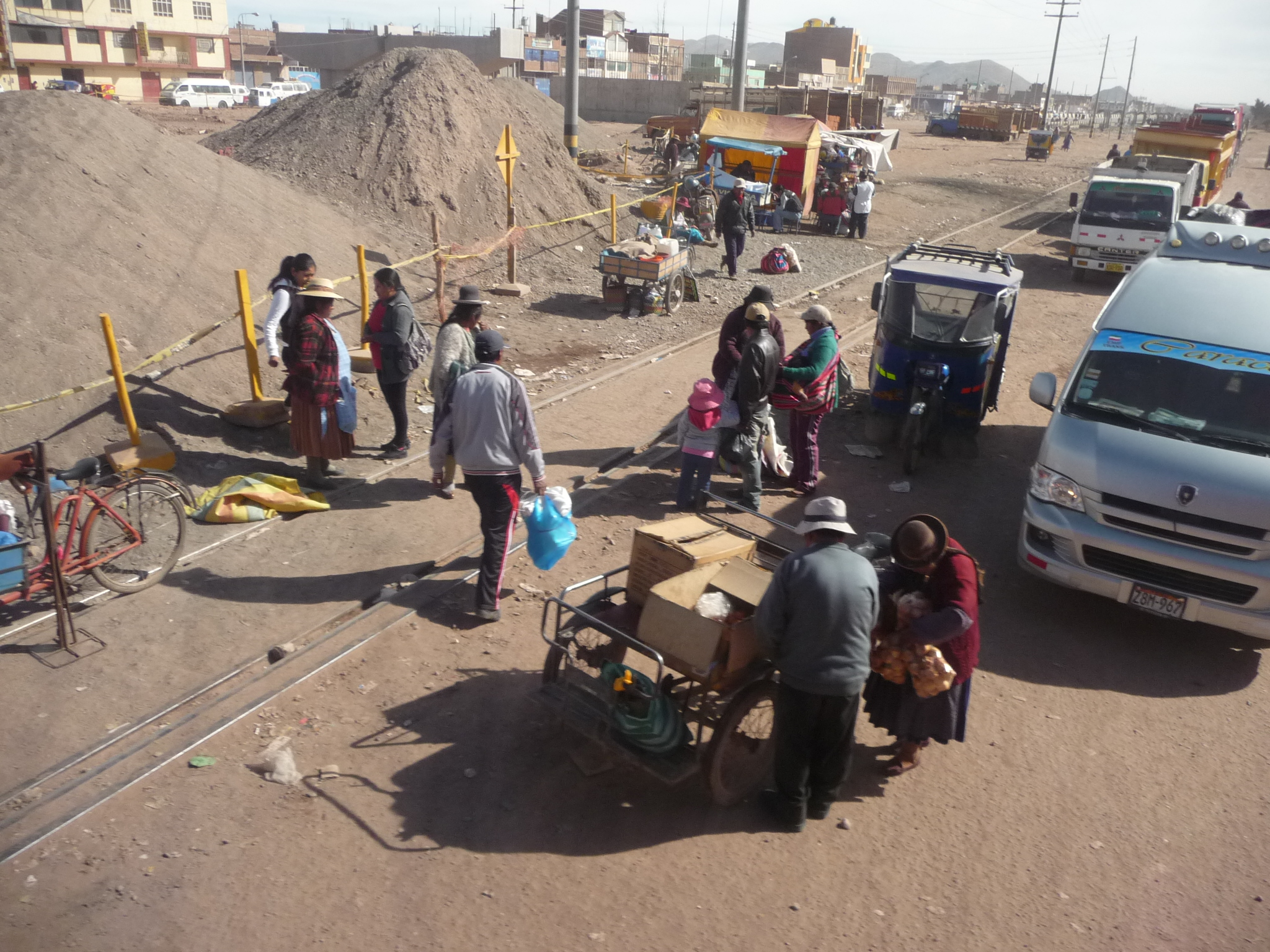
Street vendors and local life…
And then we are right back in a nicer area again …
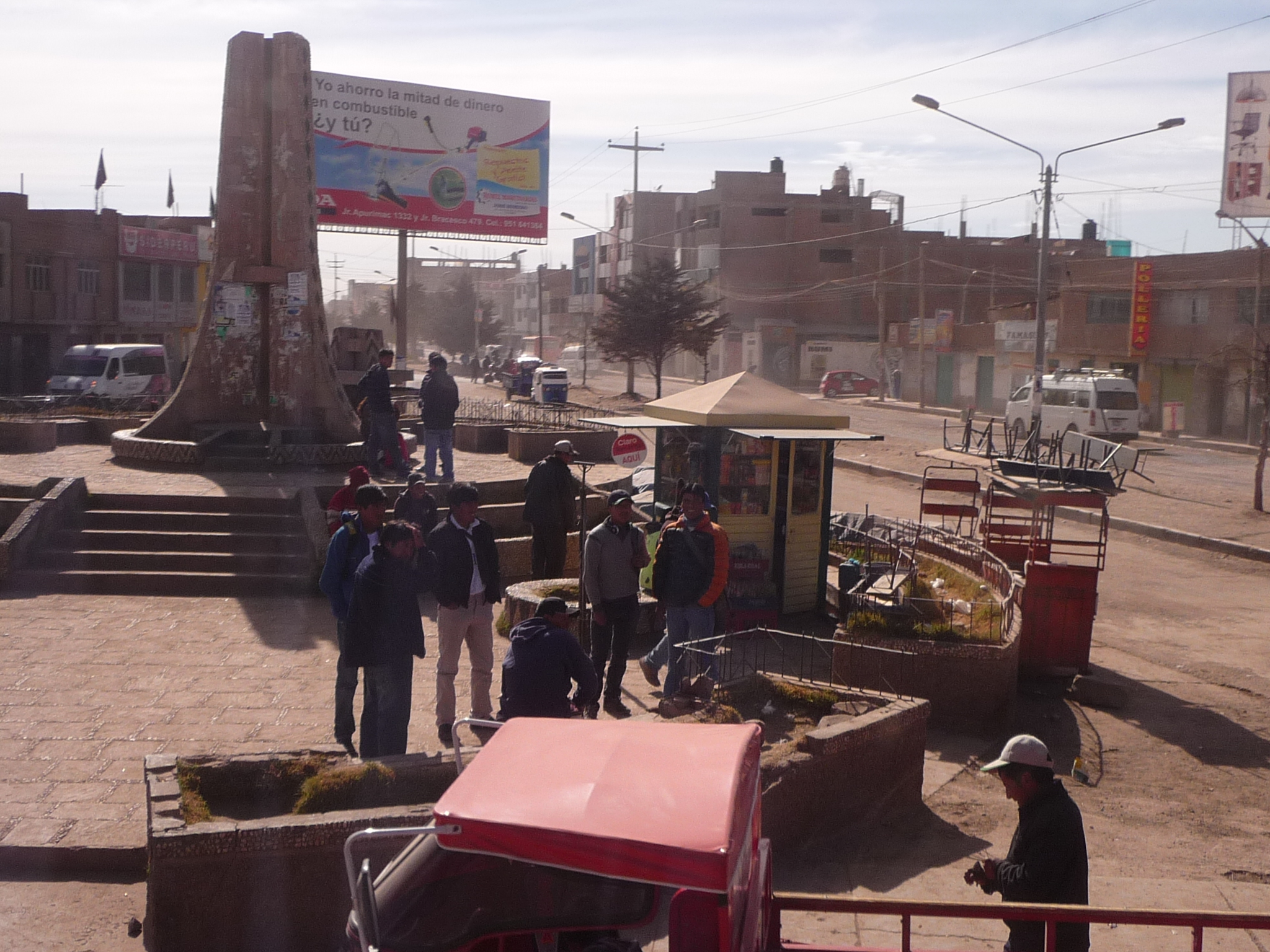
People hanging out in a small plaza.
Lots of construction going on in this town … and the locals just work around it.
It looks like that couple sees my camera and is posing for me.
I am surprised to see this next sight. I soon realize that one reason for all the construction is that they are building a major new highway in the area.
A new bus stop under construction … next to the new highway.
And finally, we have made it through the town and are back on the open road. I took this photo to show the unique way that people in this area drive. You will notice a motorcycle in the right shoulder, and on the other side, in the left shoulder is a mototaxi coming toward us.
The faster traffic gets quite annoyed if these slower vehicles are in the middle of the road. Often it feels quite hectic when people are also passing each other while the slower vehicles are in the shoulders….
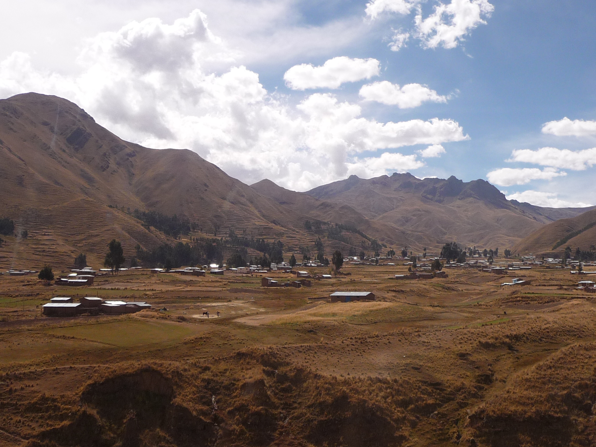
We are starting to enter an area with different looking hills.
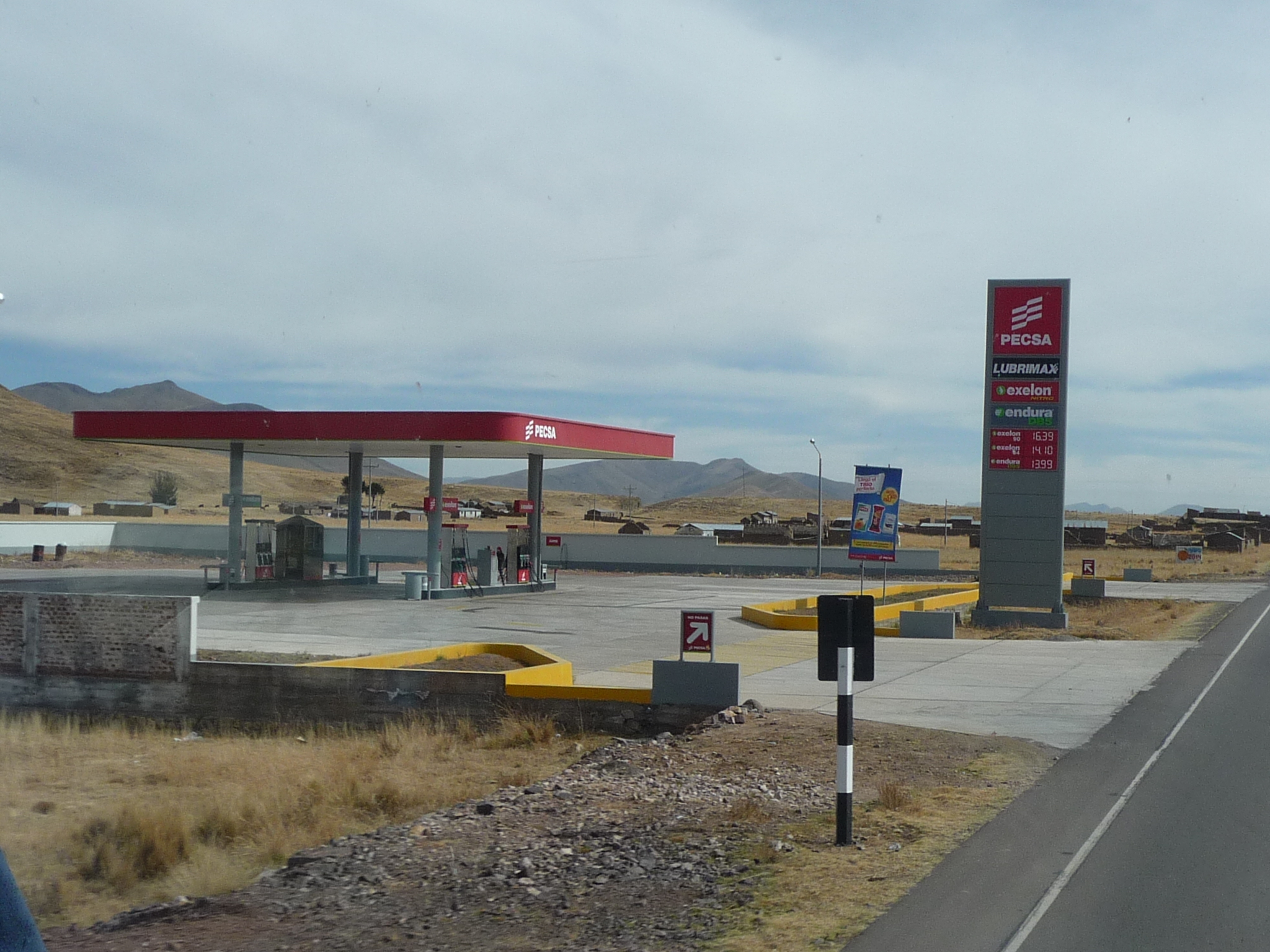
There are some modern gas stations (grifos) in the area.
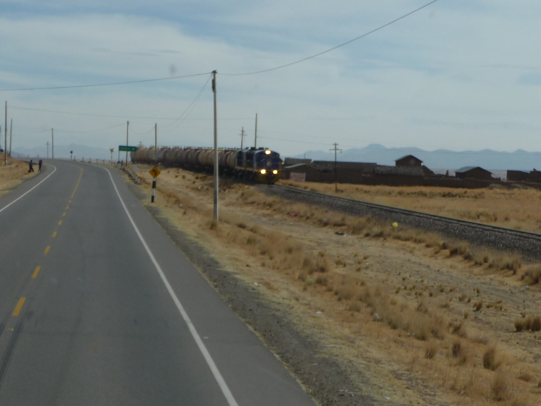
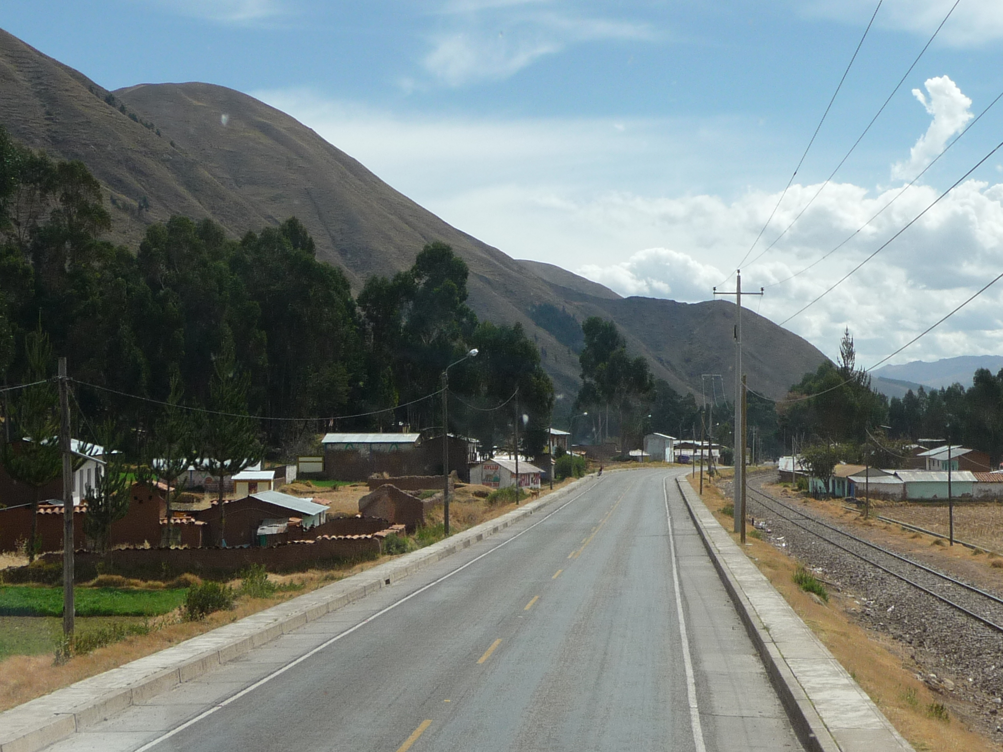
A train zooms by us on the right.
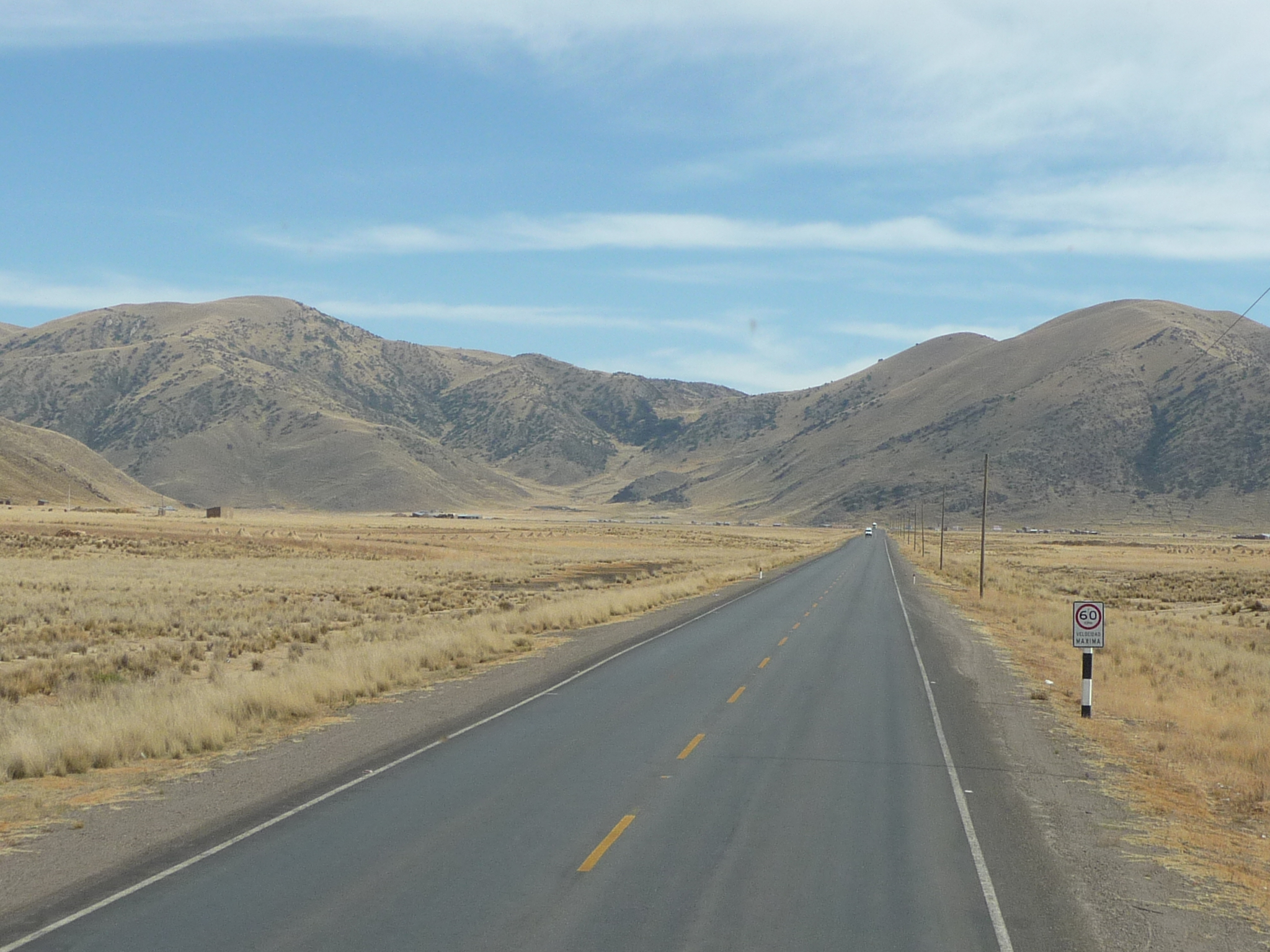
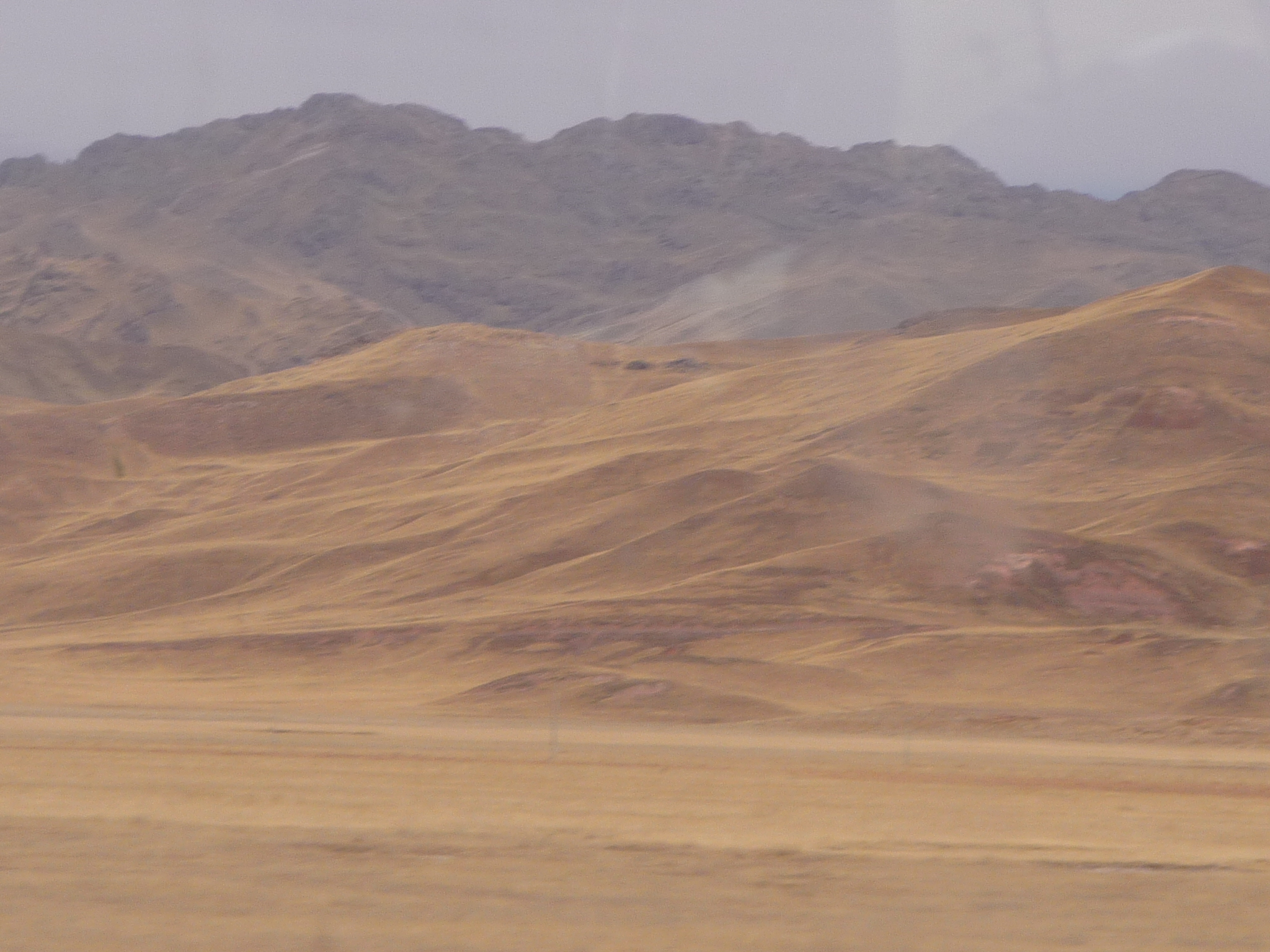
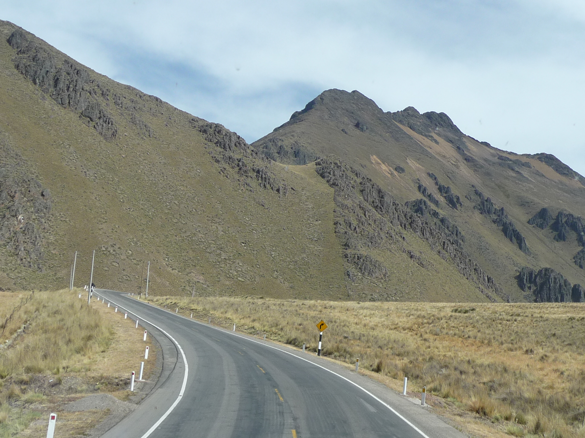
We are gradually rising in altitude, and the terrain continues to change.
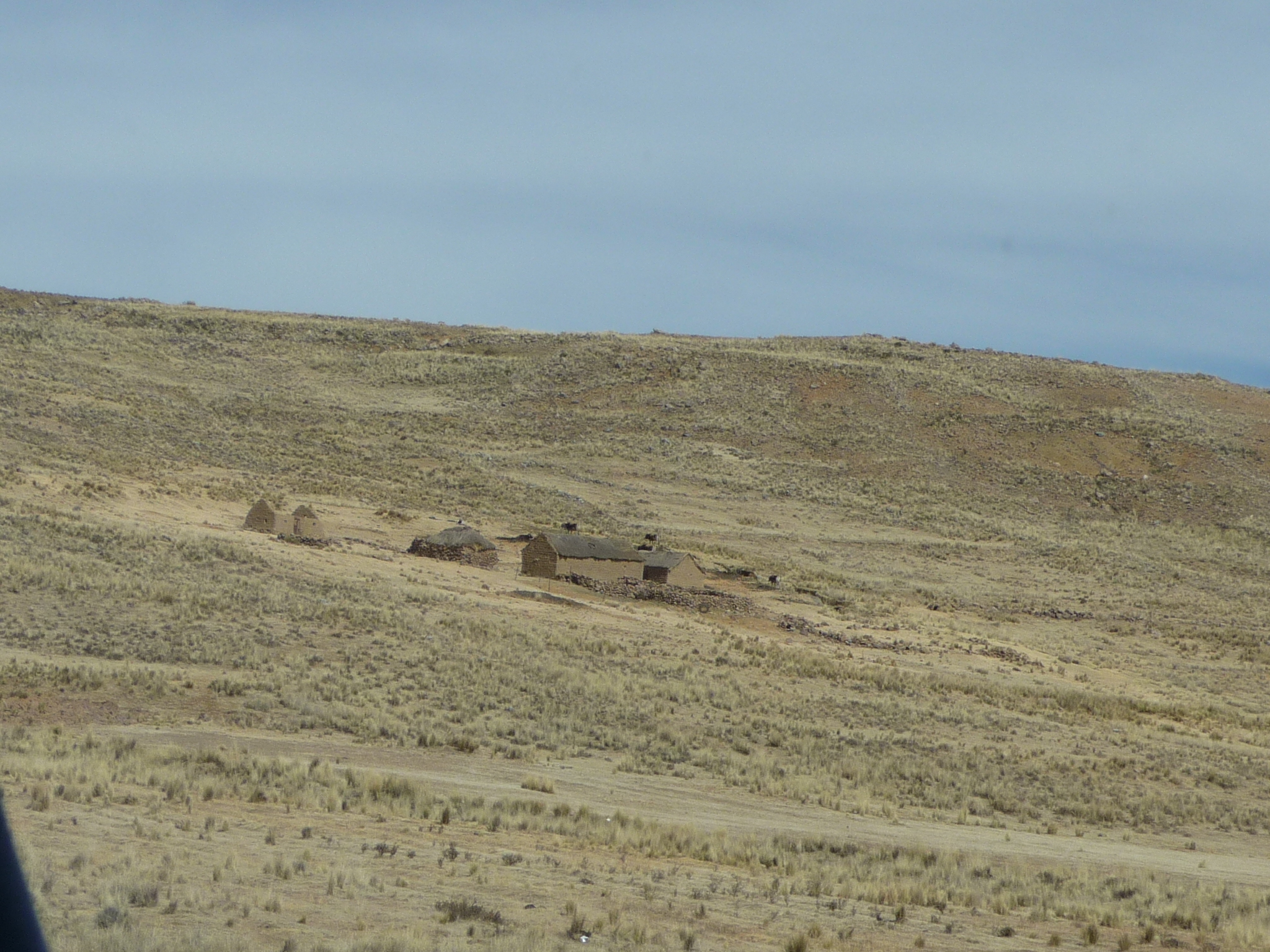
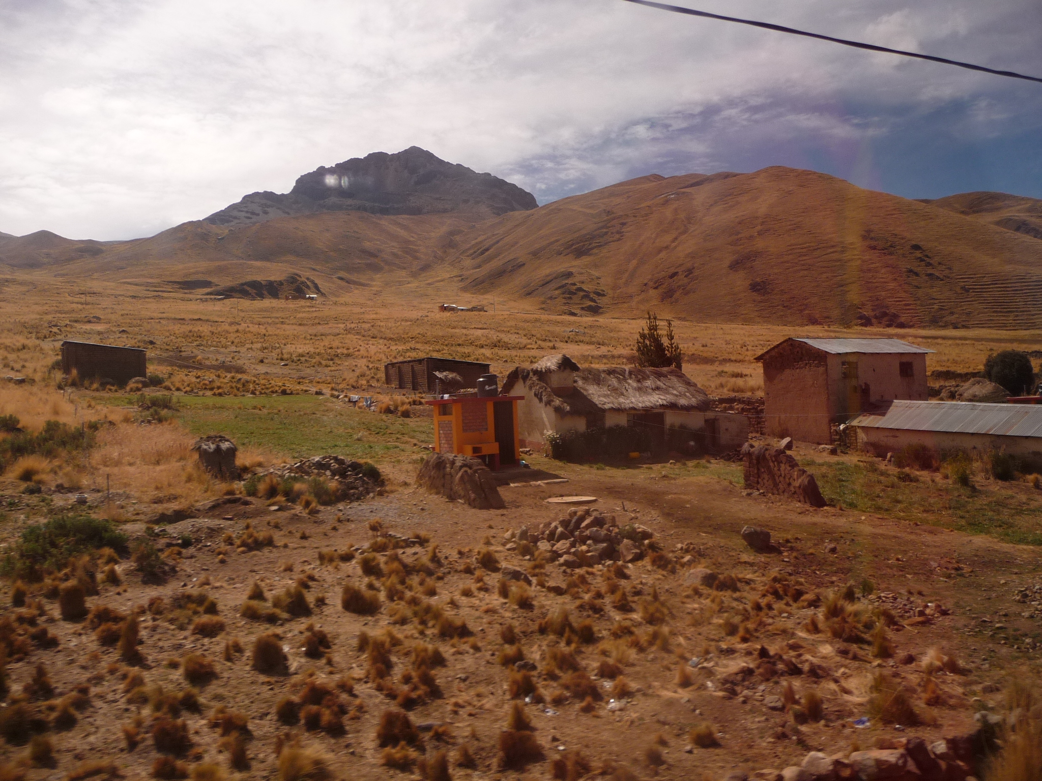
Some adobe homes on this mountainside.
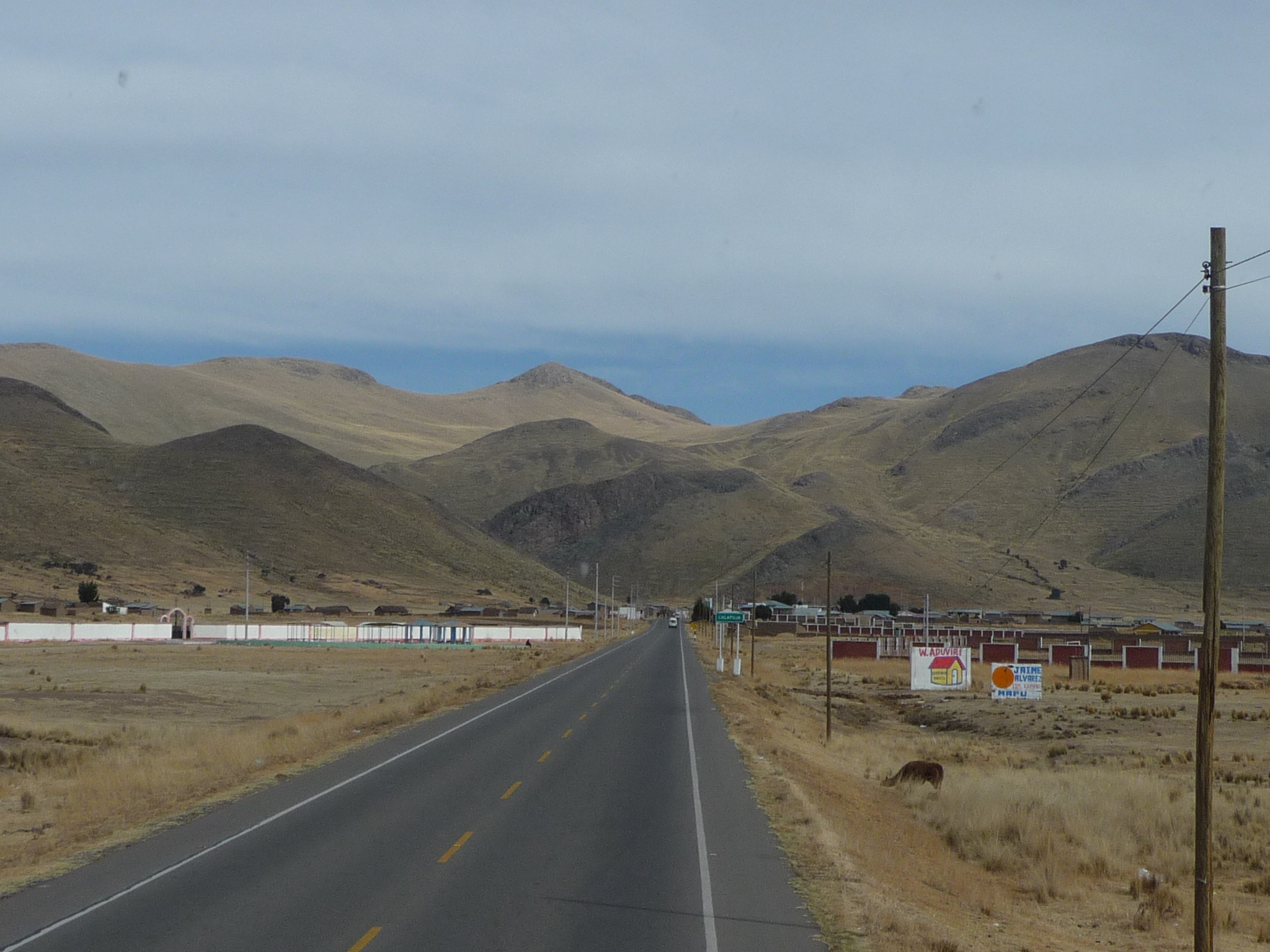
More changing scenery.
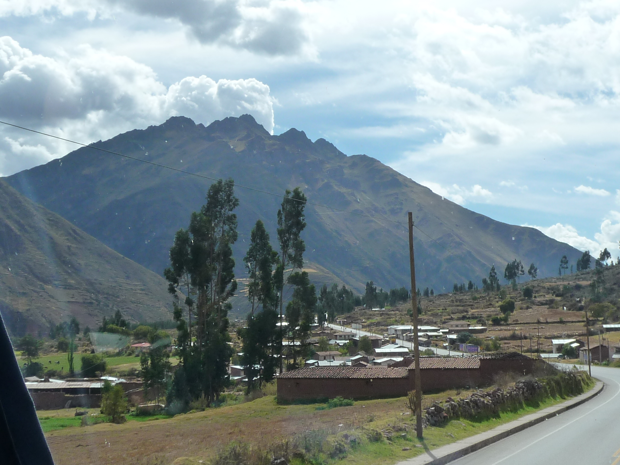
Headed toward taller mountains.
Gradually climbing toward a mountain pass.
Same view, but with less zoom.
Continuing to climb, higher and higher.
This is a speed bump. They are used all over Peru to slow traffic down in certain places (allowing pedestrians to cross, etc…)
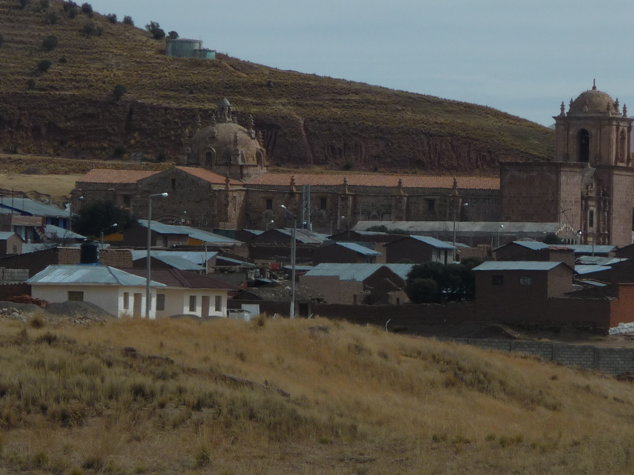
A very old-looking church in a small town.
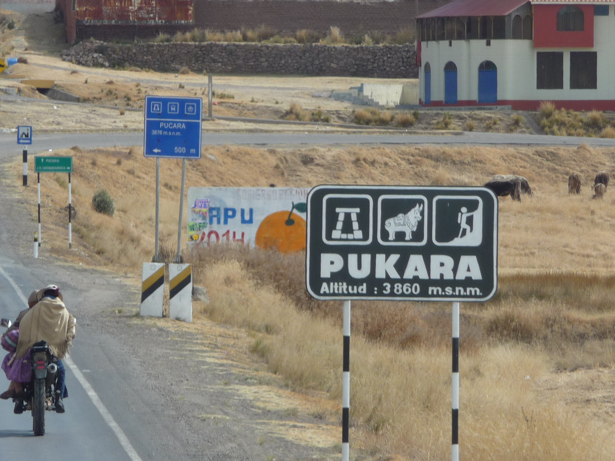
Entering a town called Pukara with an altitude of 3860 meters (or 12,664 feet). We are not as high up as I thought. Lake Titicaca is 12,507 feet. We have only climbed 156 feet.
Driving through Pukara.
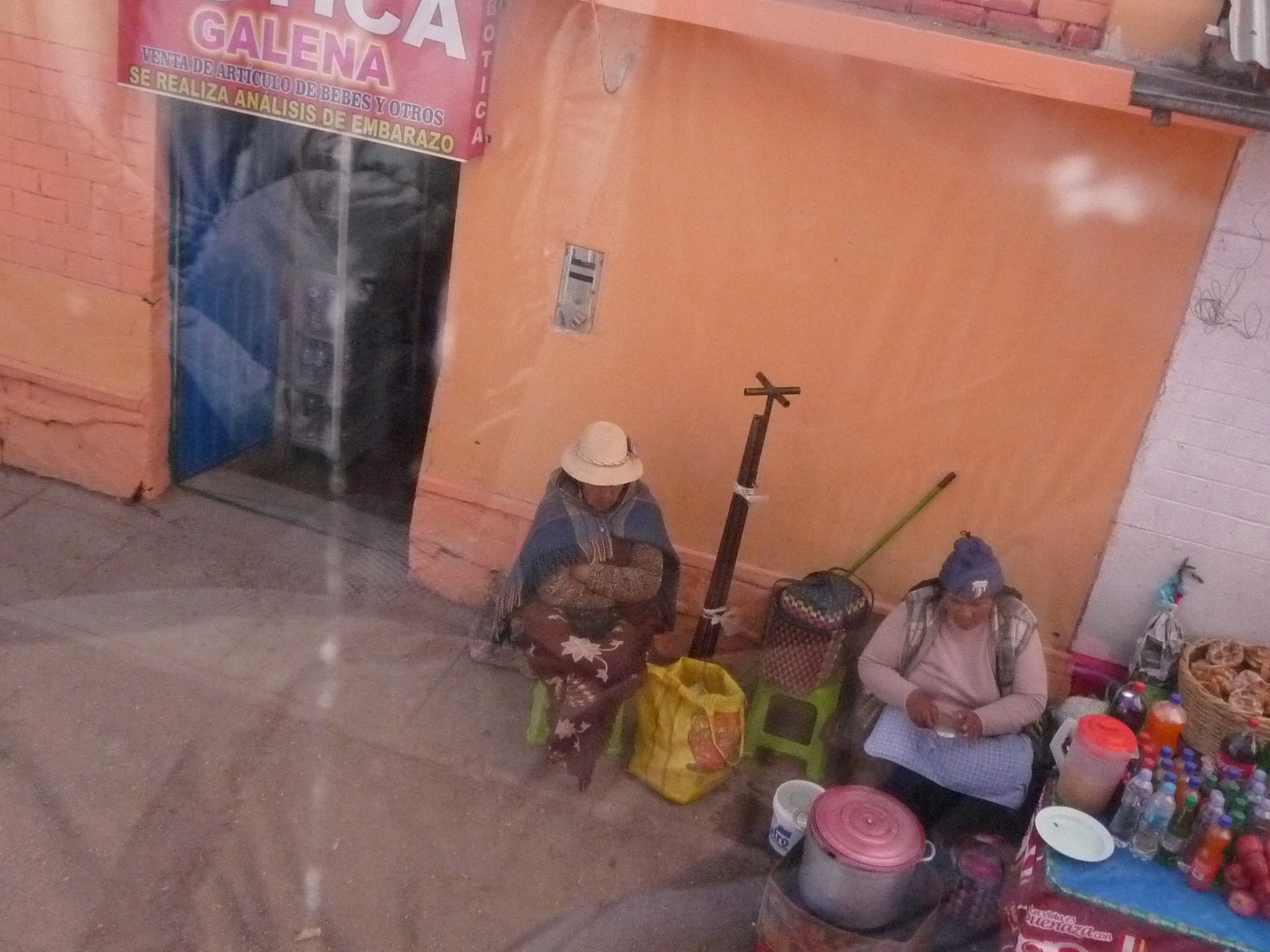
Local vendors.
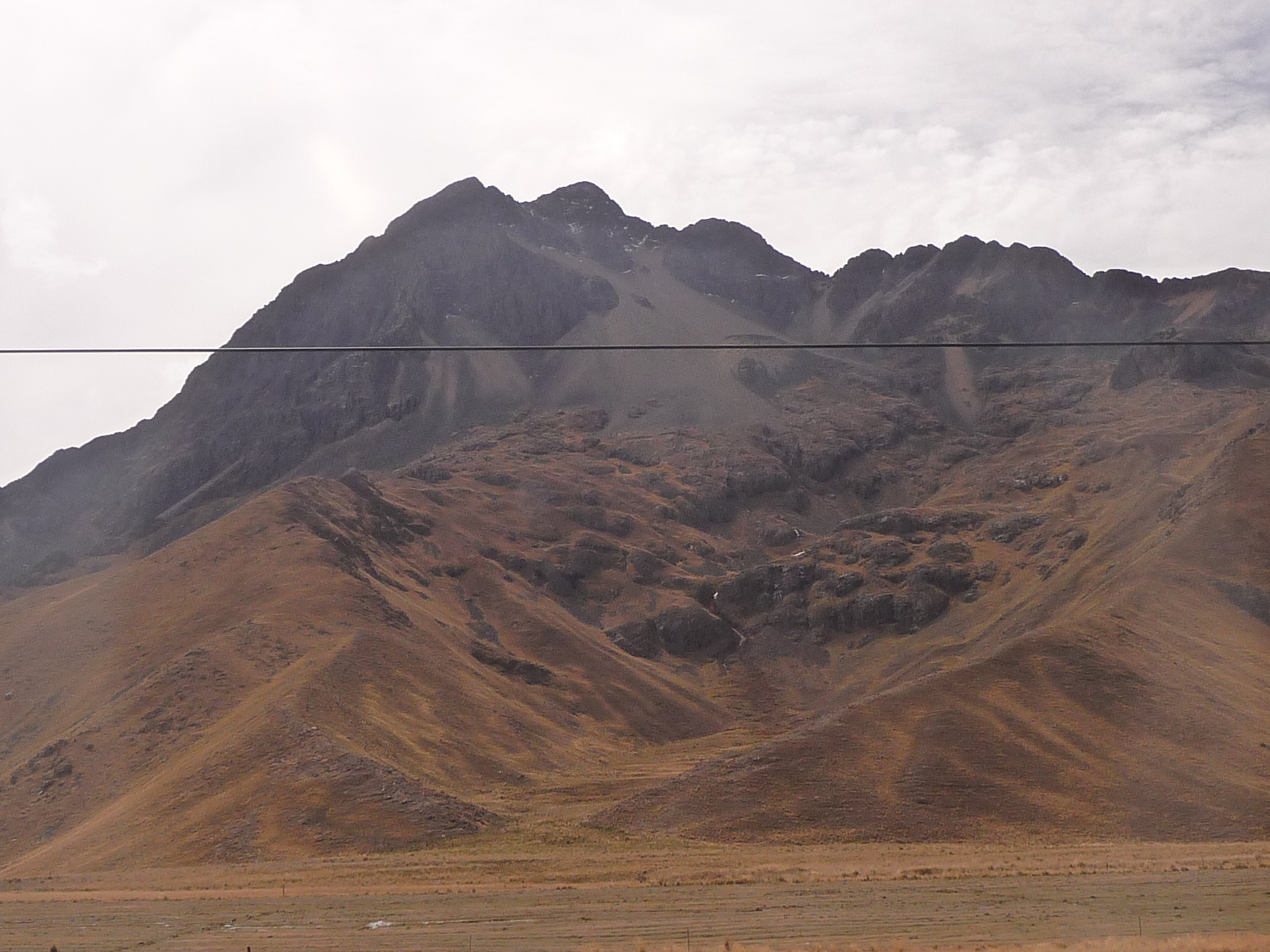
Surrounding mountains are getting taller.
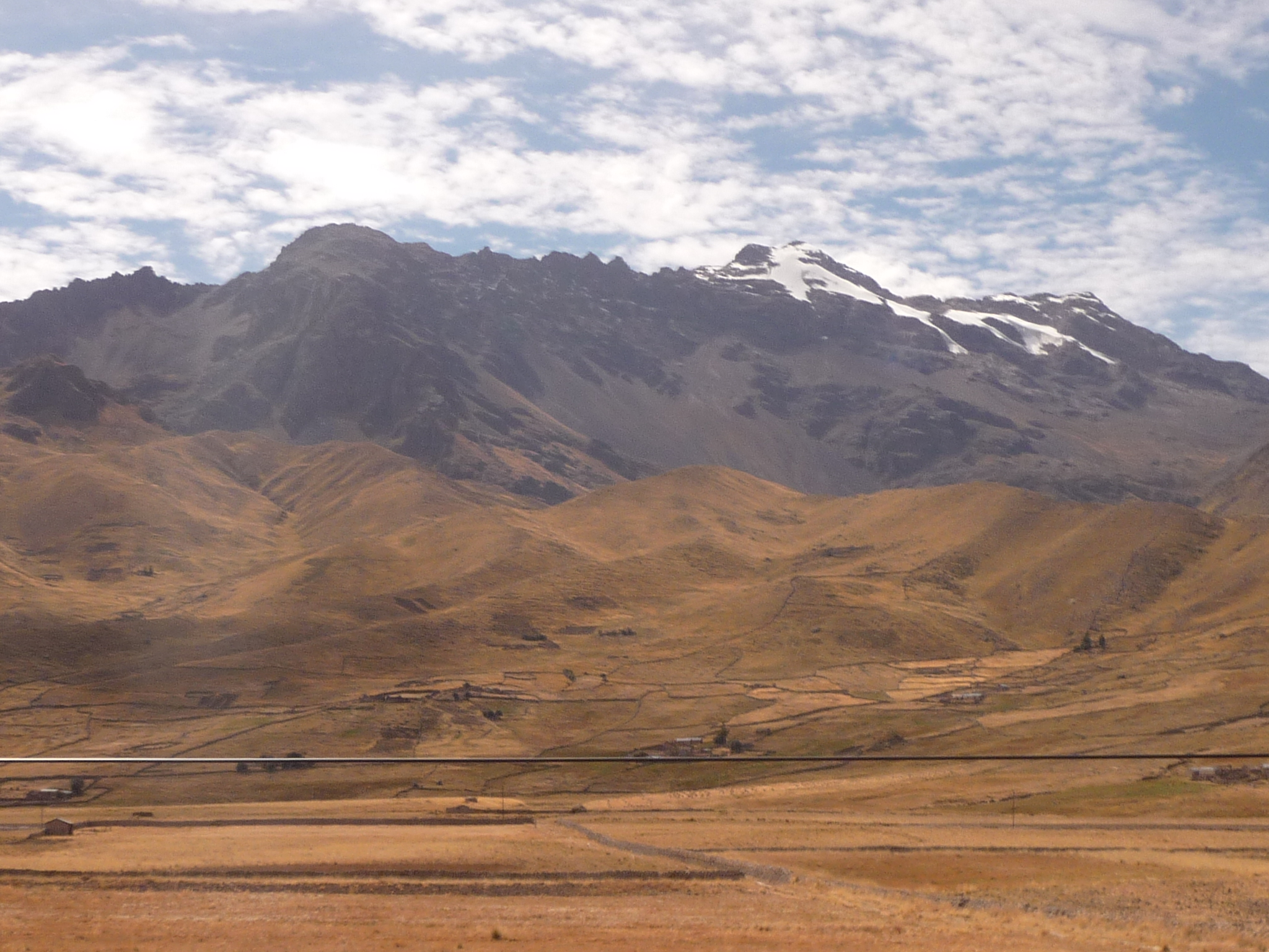
And finally, snow-capped peaks ahead.
It is getting hot here in front. Now I have stripped off my coat, sweatshirt, and even sweater … enjoying the ride.
Loving that beautiful mountain ahead.
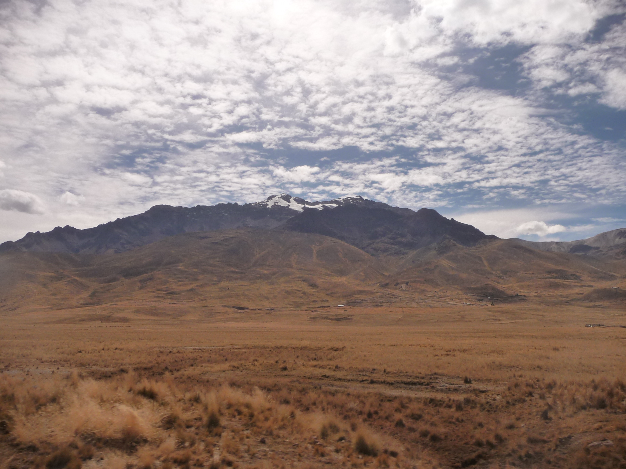
Gorgeous natural beauty.
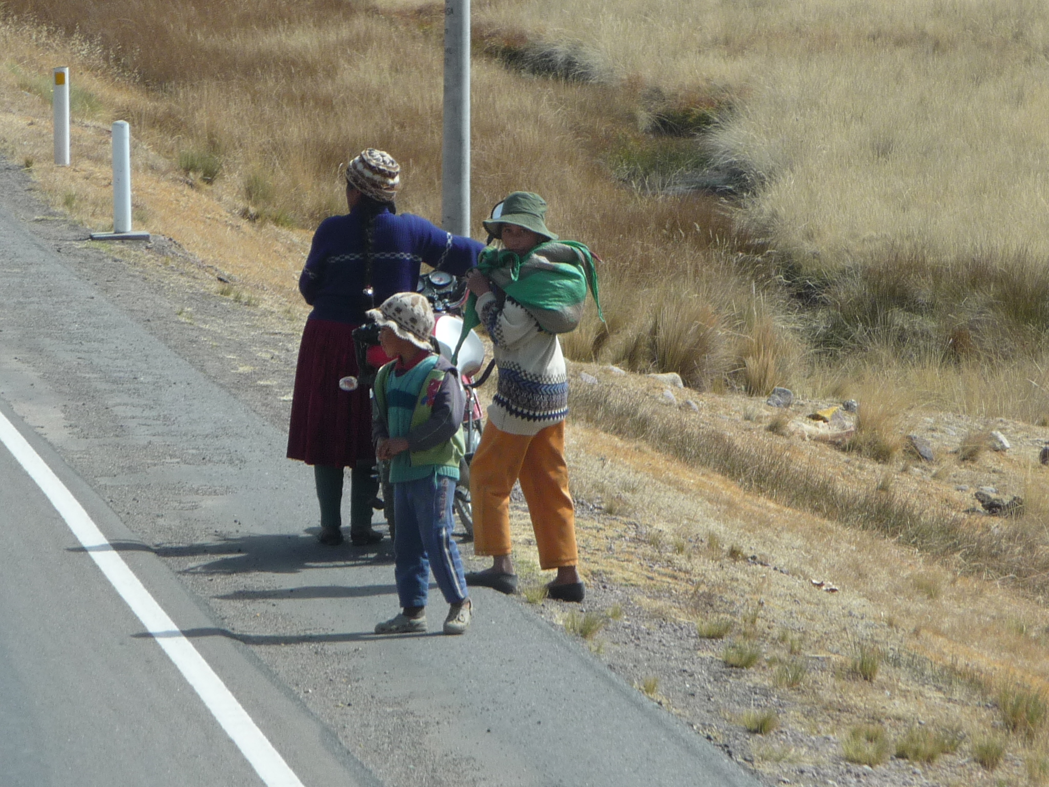
Mother and sons by the road, holding a motorcycle.
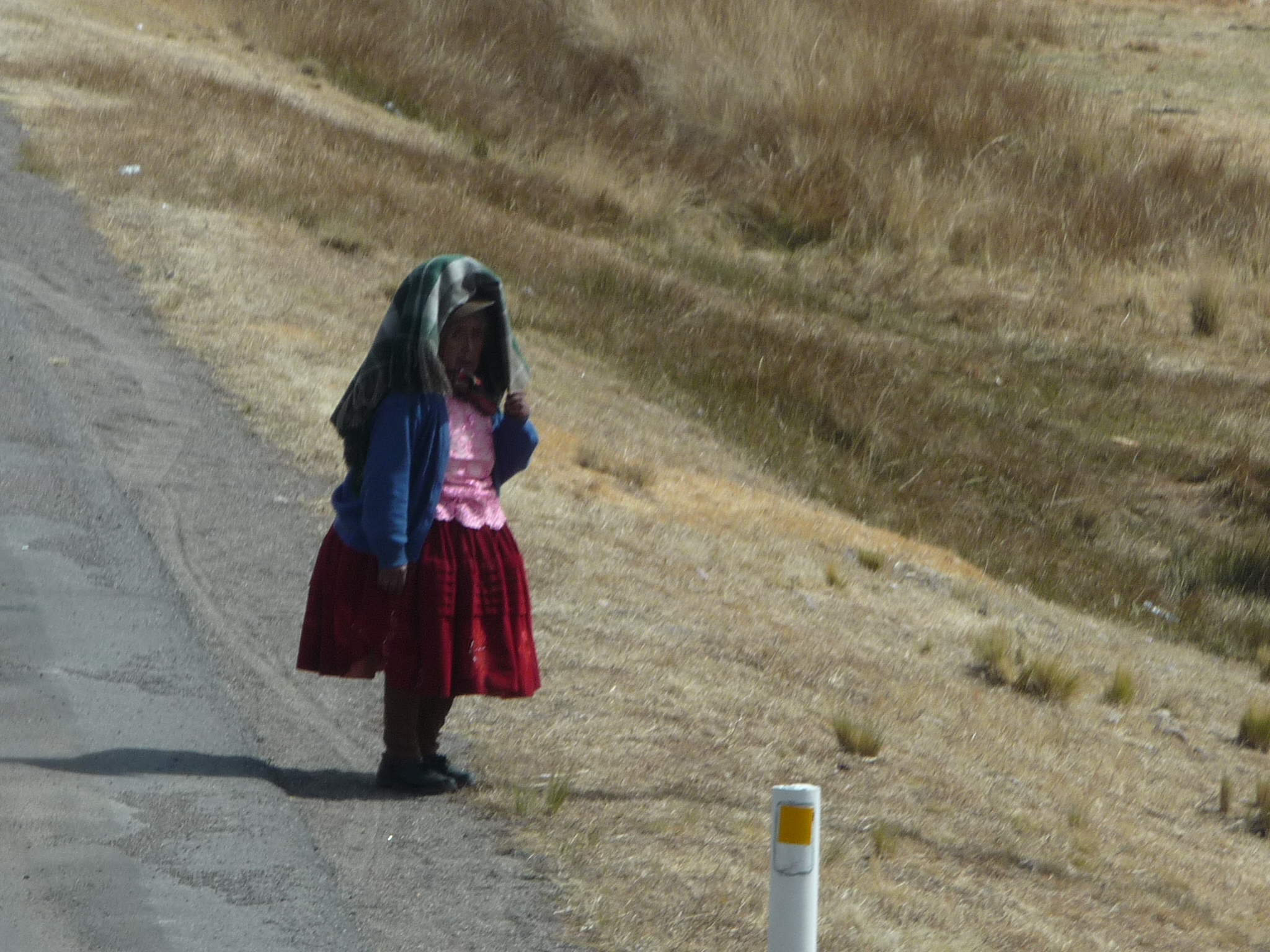
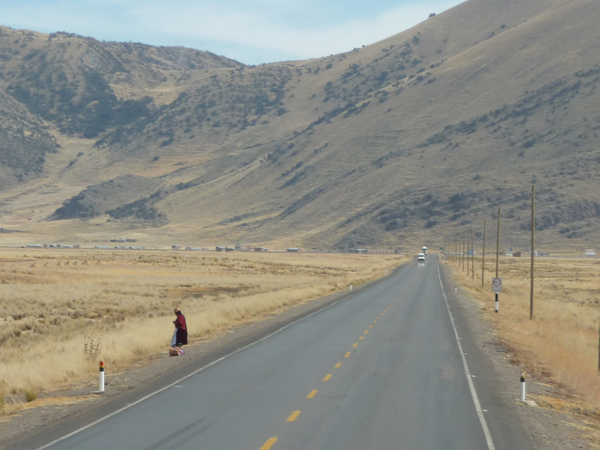
Another local woman standing by the road.
Now, the mountains ahead are getting more spectacular.
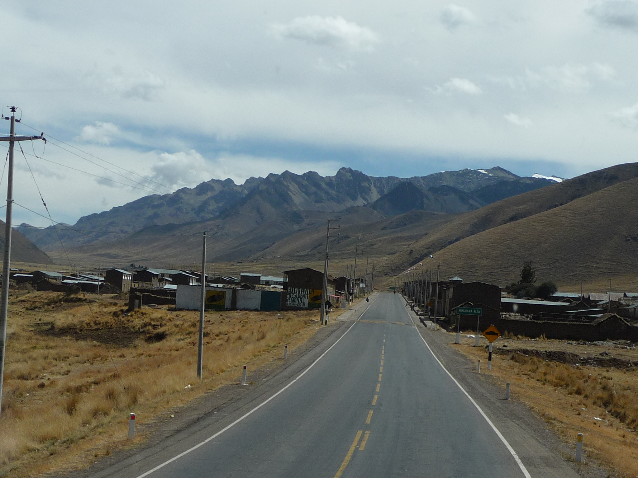
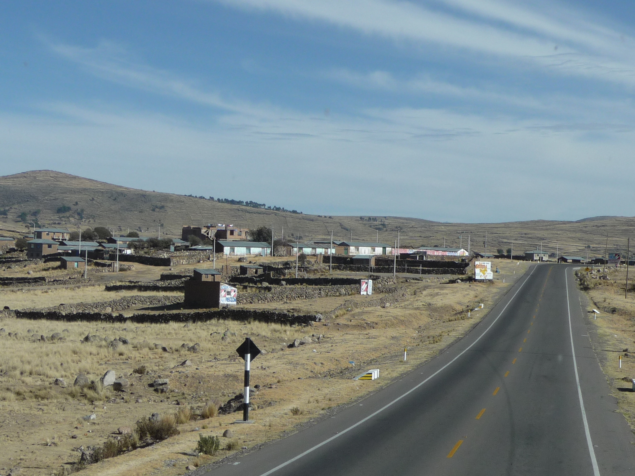
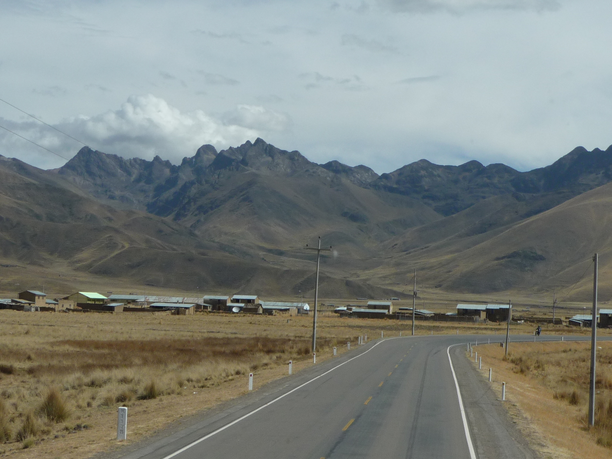
Passing through another small town.
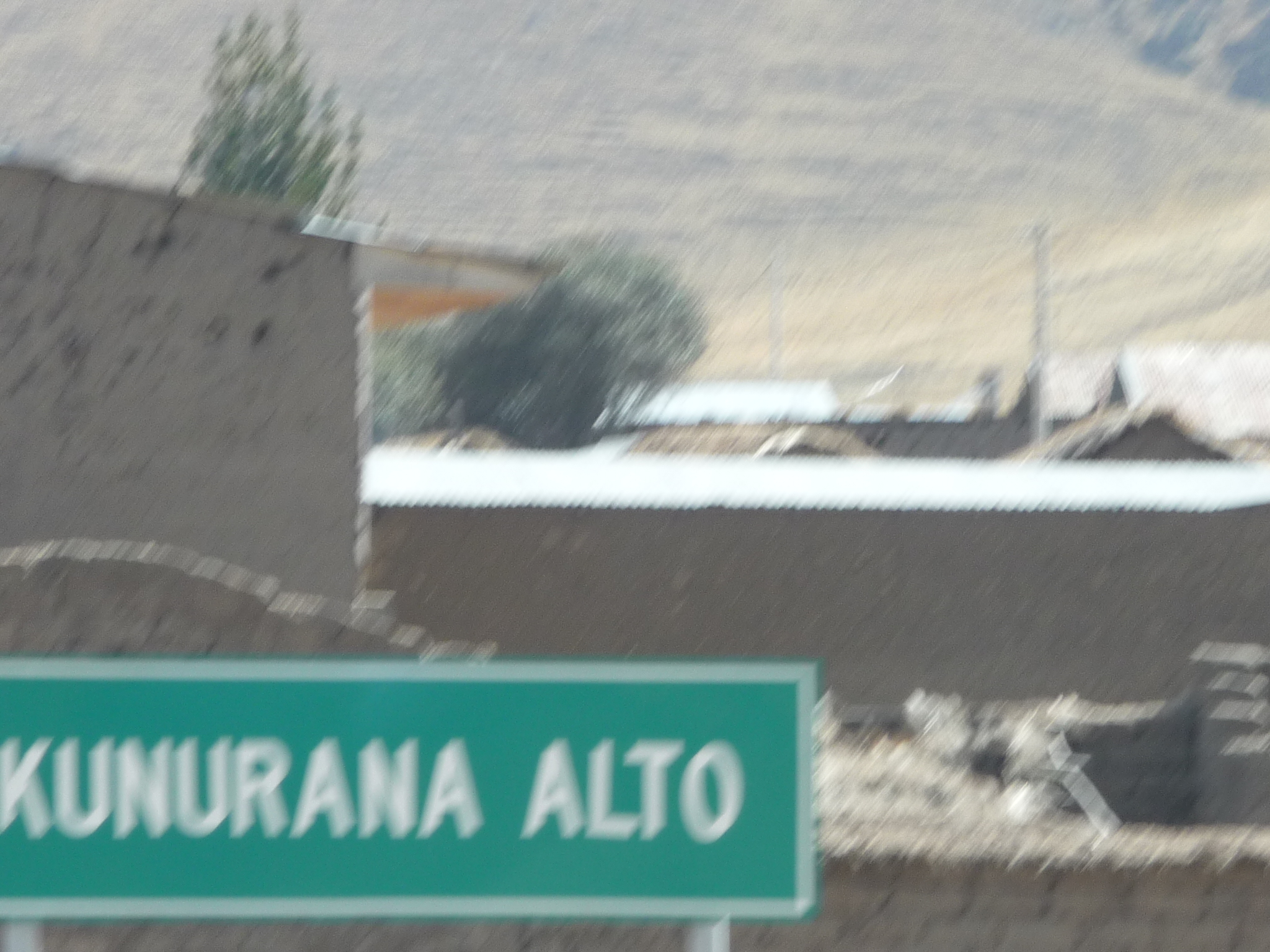
It is named “Kunurana Alto”
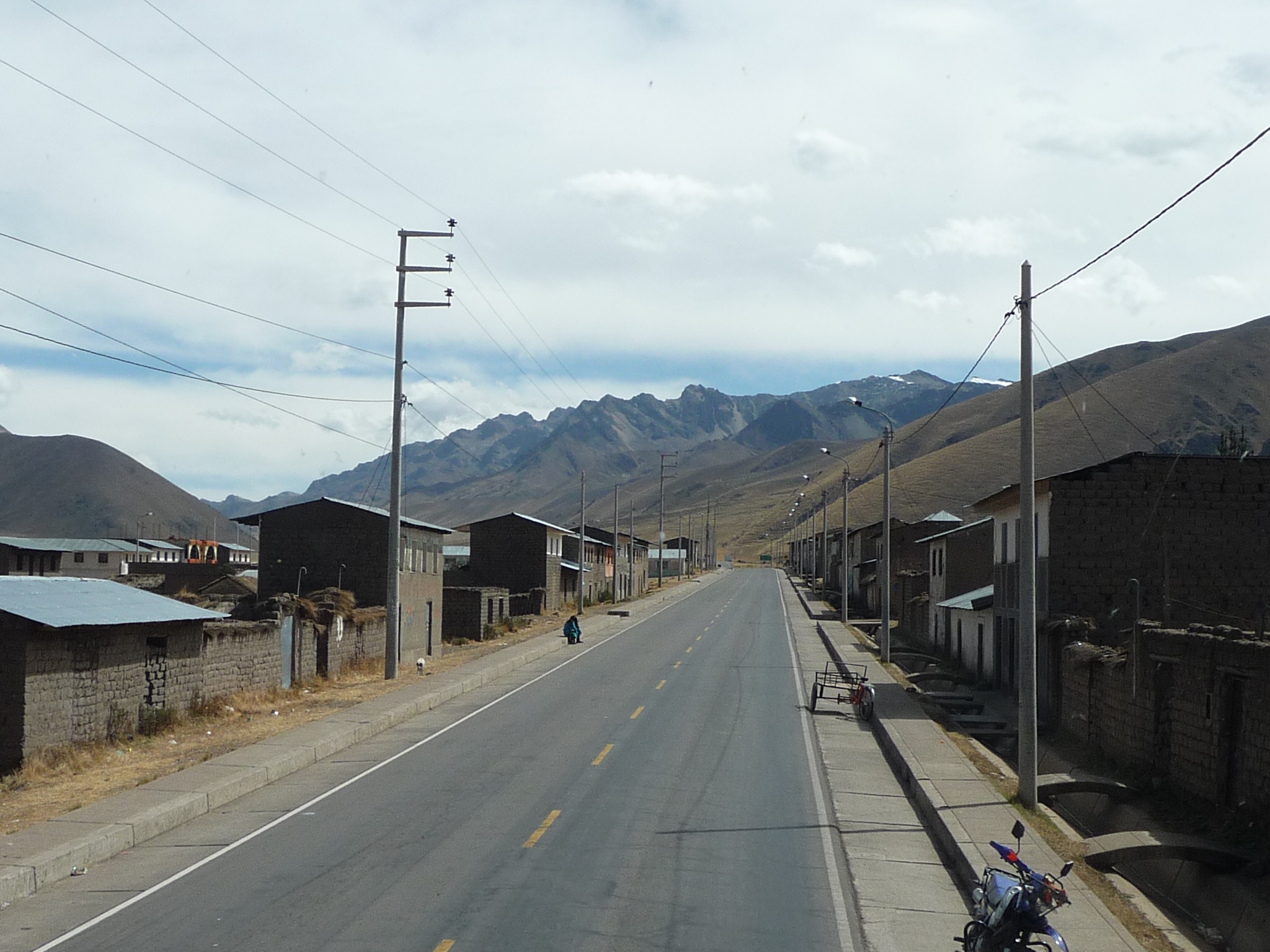
A cute little town …
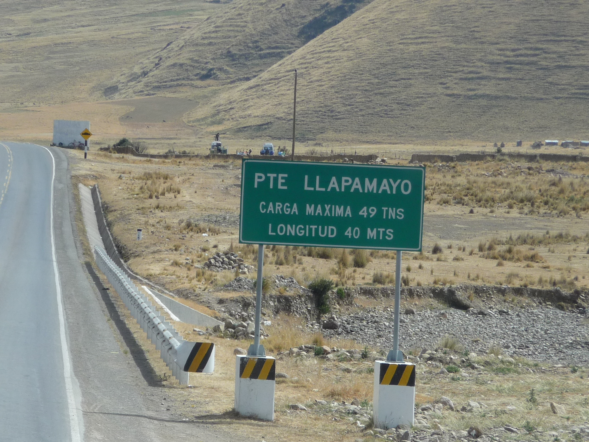
Every bridge on this road has its own sign, listing its name, its length, and its maximum load capacity.
This bridge (puente) is called Llapamayo …
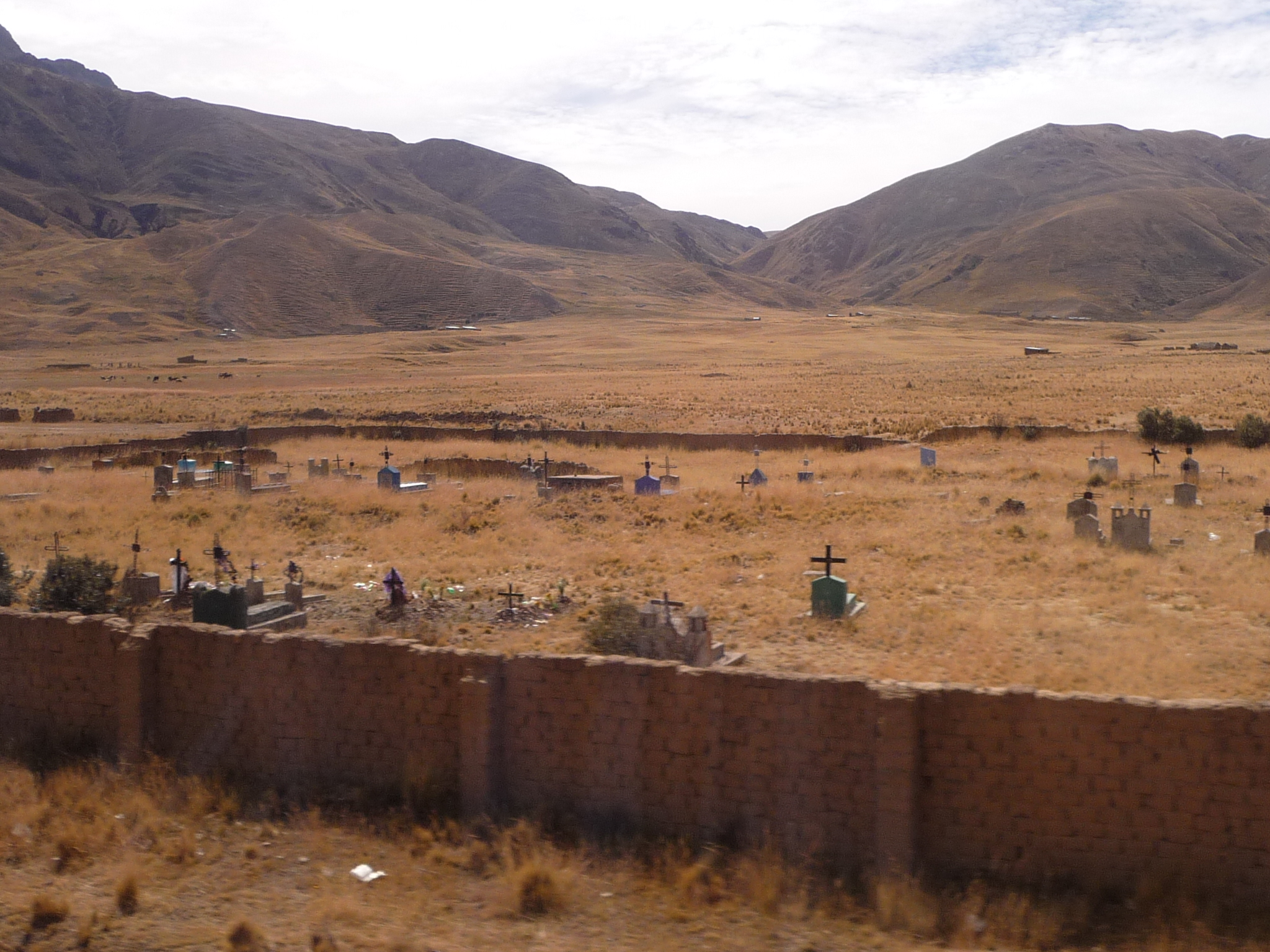
This old cemetery looks fascinating.
Now, we really are climbing.
Love this photo…
I know there is a tall mountain pass ahead … but am not sure how far away it might be.
But we are going up.
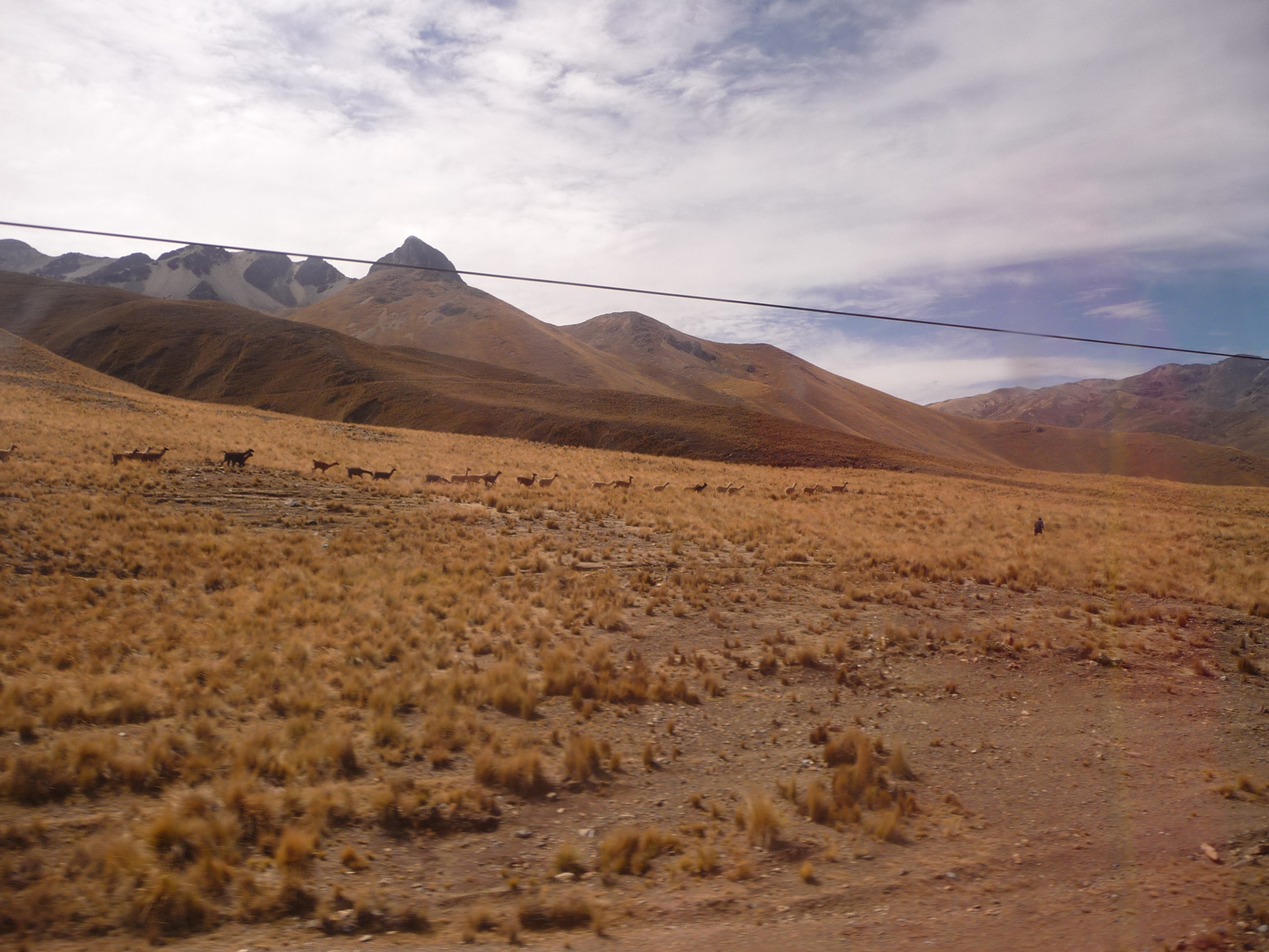
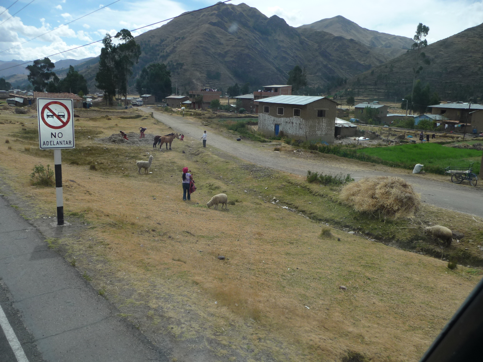
A herd of animals all lined up in the distance. I cannot quite make out what they are … possibly alpaca.
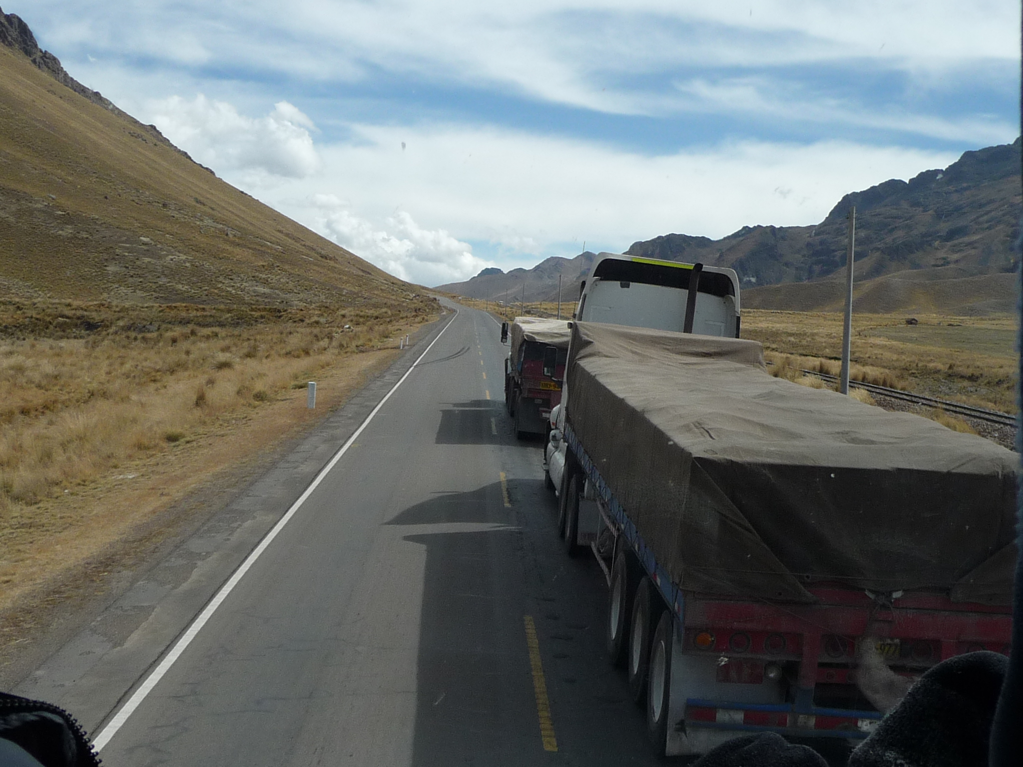
Part of the sport on these highways is watching the bus pass other vehicles.
Almost there … we can do it.
I love the texture of these mountains …
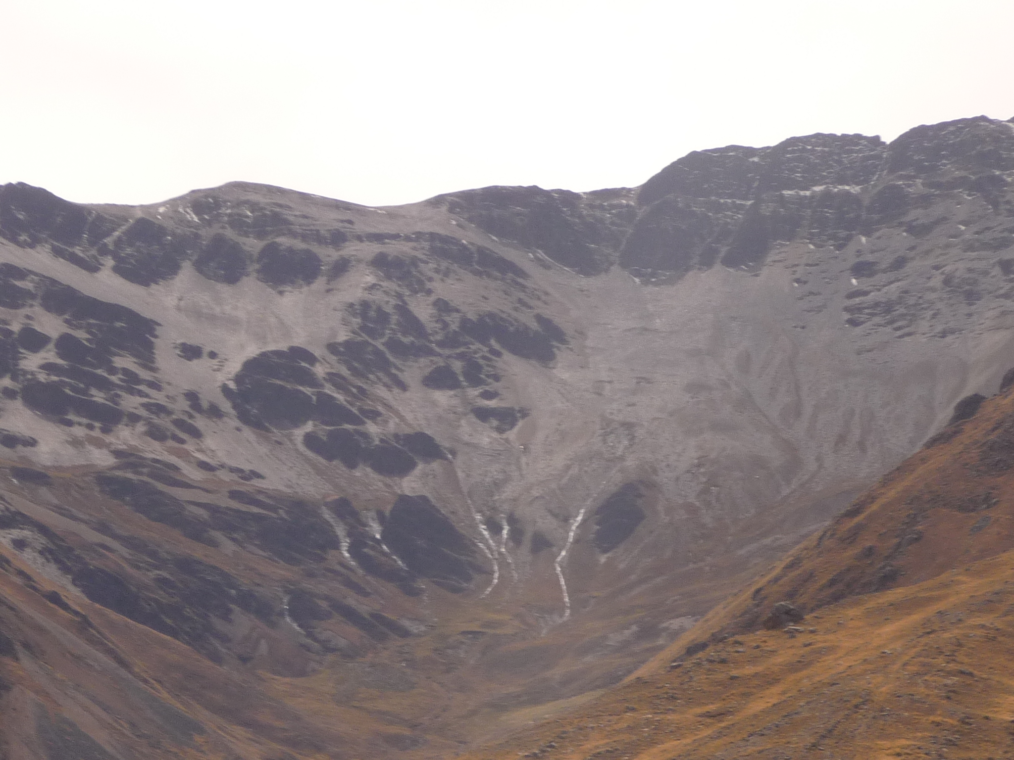
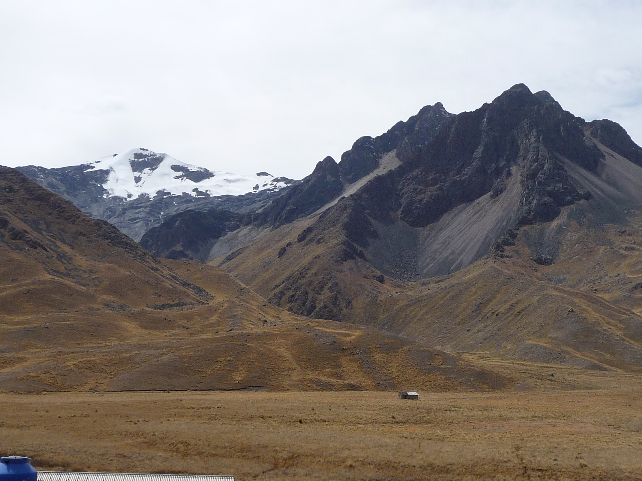
That is actually a glacier up there … it is snow and ice … very dirty ice.
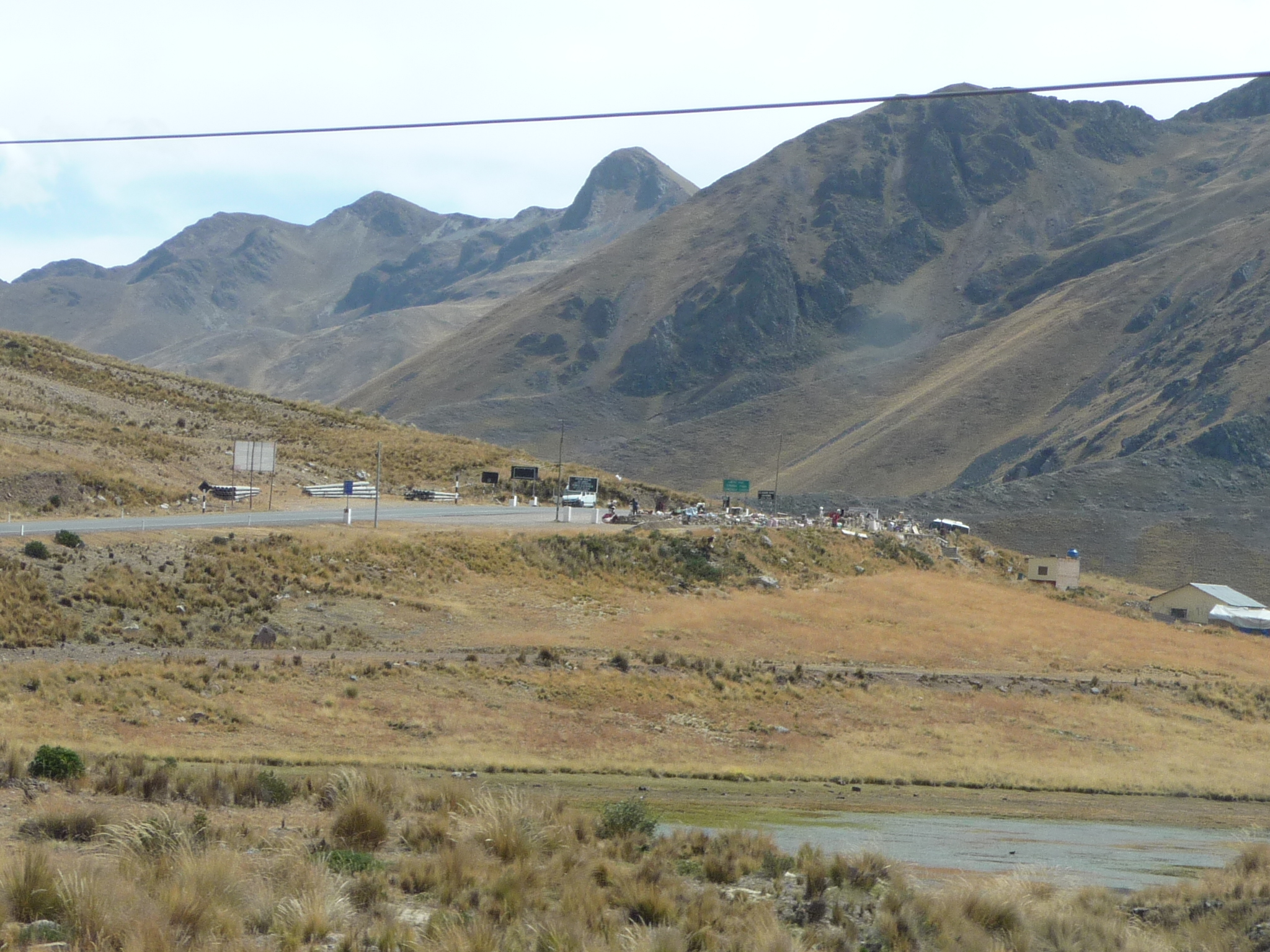
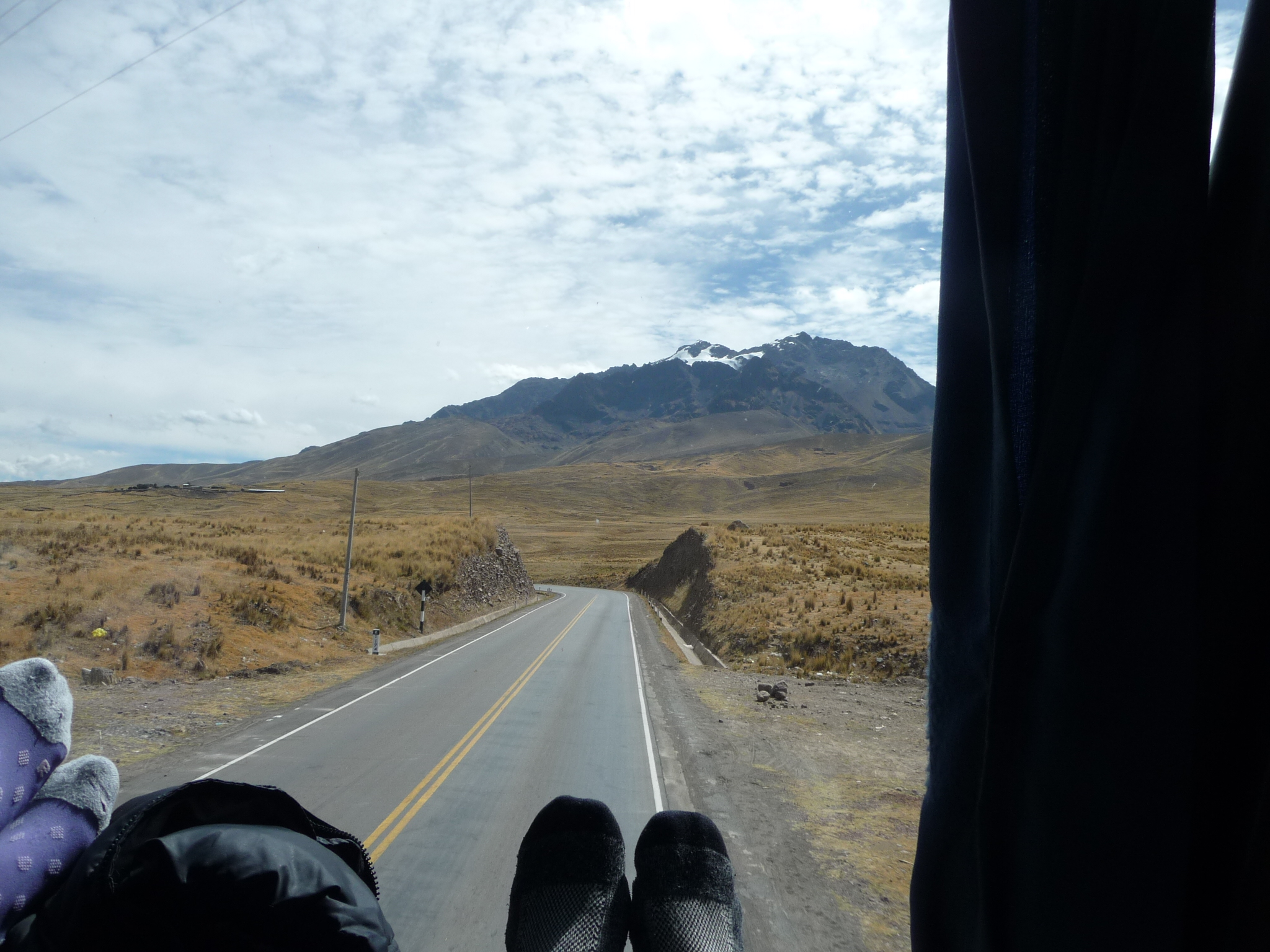
Finally, we are approaching the mountain pass.
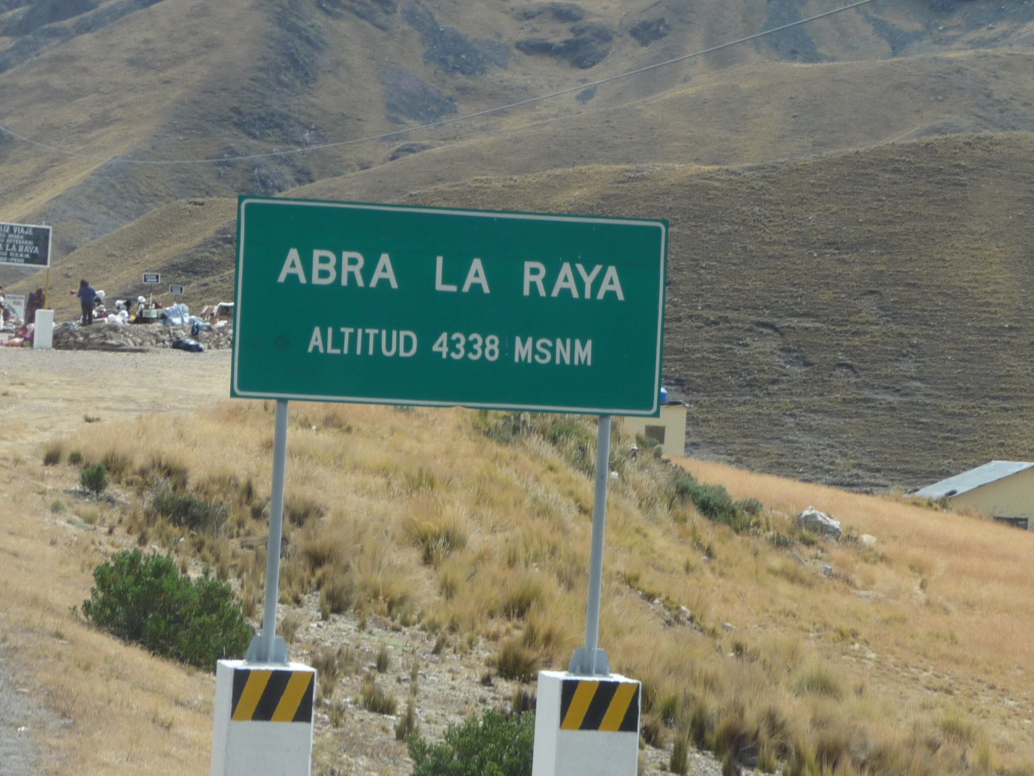
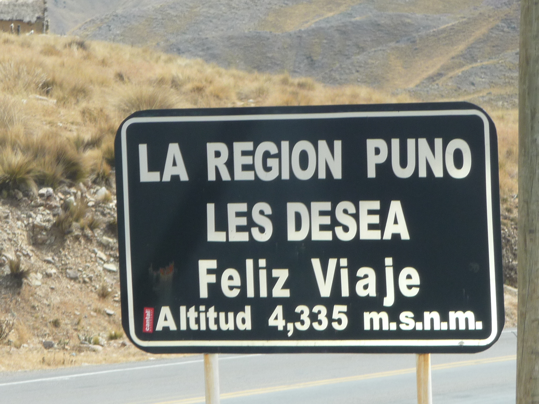
The name of the mountain pass is “Abra la Raya”. This sign says the altitude of the pass is 4338 meters above sea level … which equates to 14,232 feet. I have driven a van up to the top of Pikes Peak in Colorado, and it is over 14,000 feet in altitude. Perhaps this is the highest I have ever been on land … I’m not quite sure.
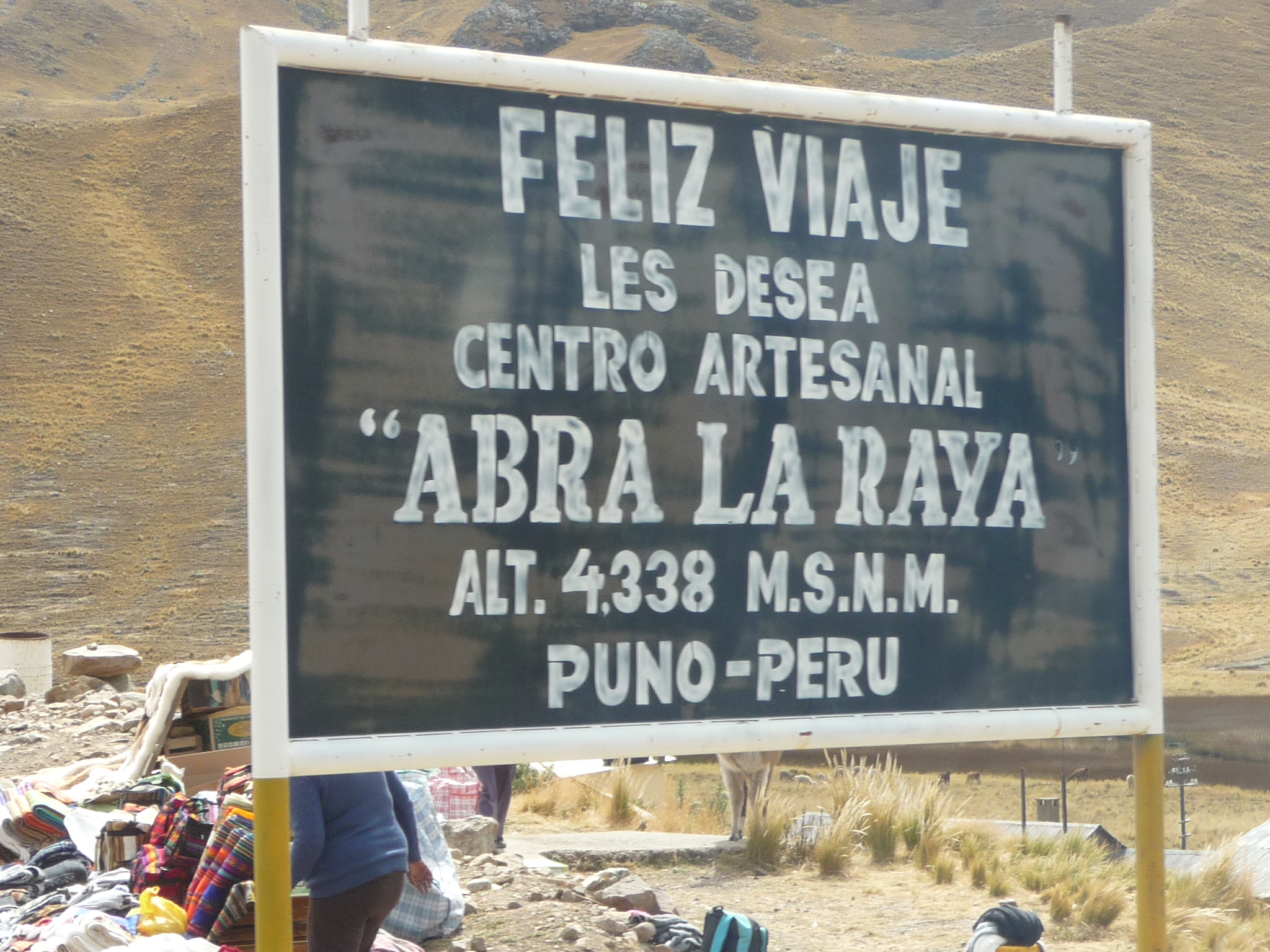
Another sign from the artisans here, wishing us a happy journey.
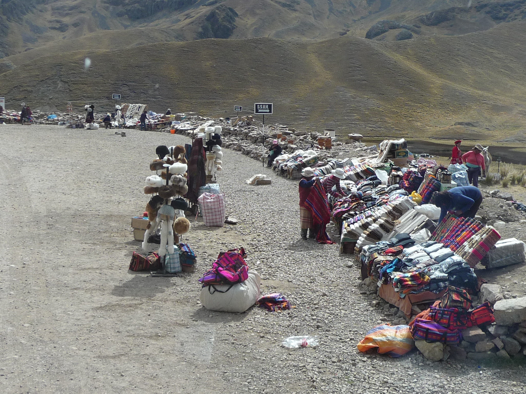
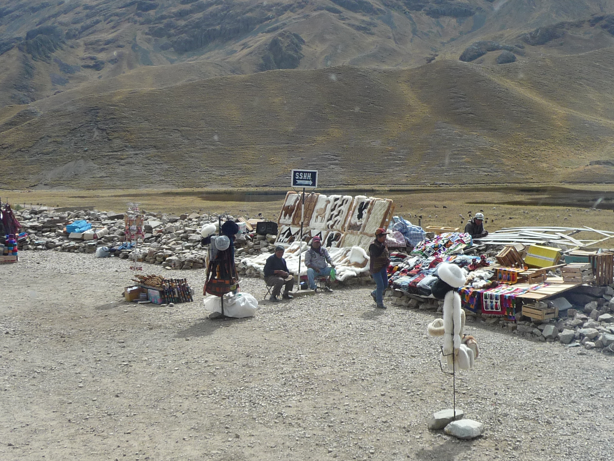
I did not realize that our bus was going to stop here. The whole area is filled with artisan vendors.
This sign says the elevation is three meters less … about ten feet lower.
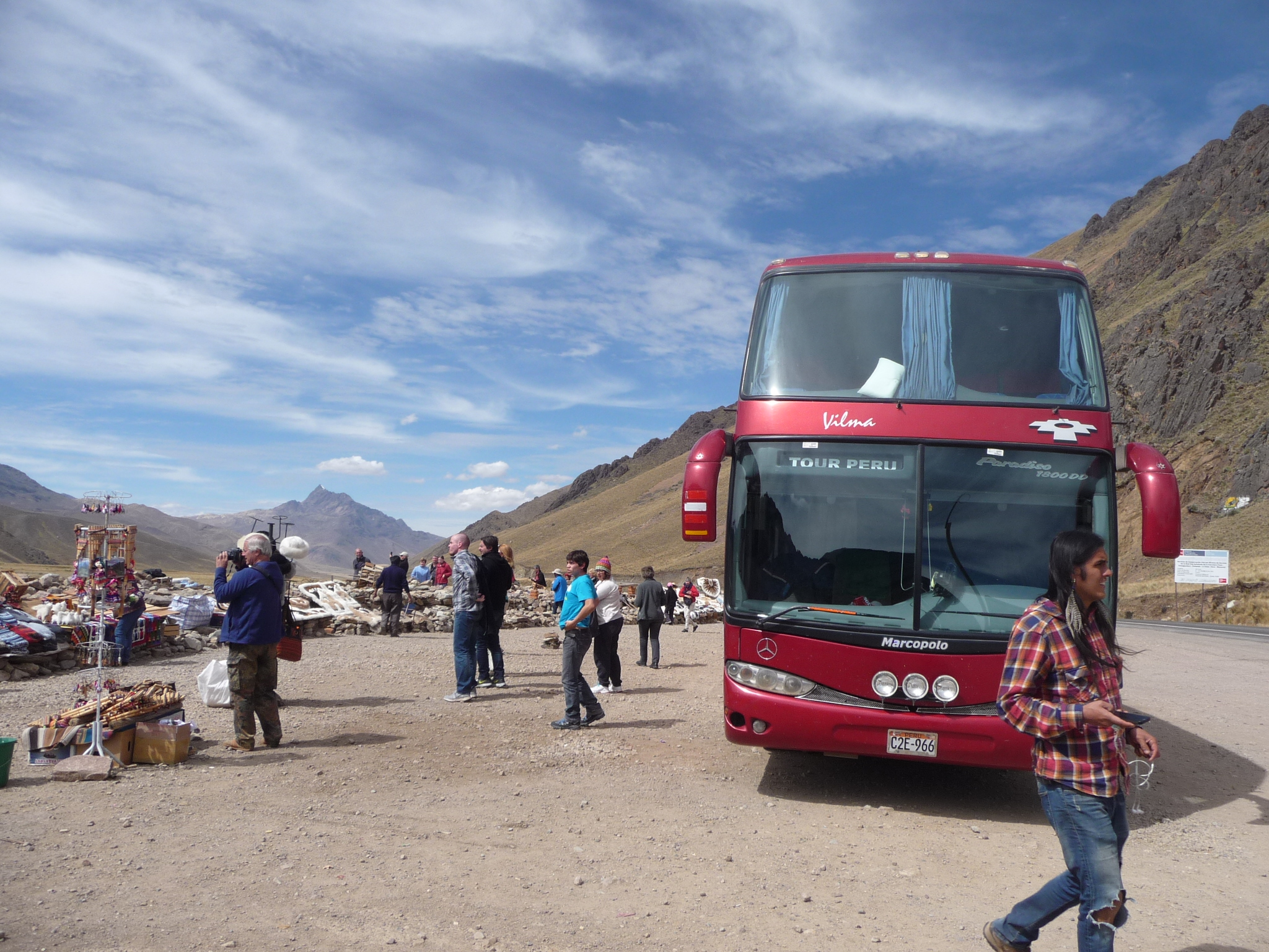
That is my “Tour Peru” bus. My seat is in the very front, upstairs, on the right side when inside looking out (left from this angle).
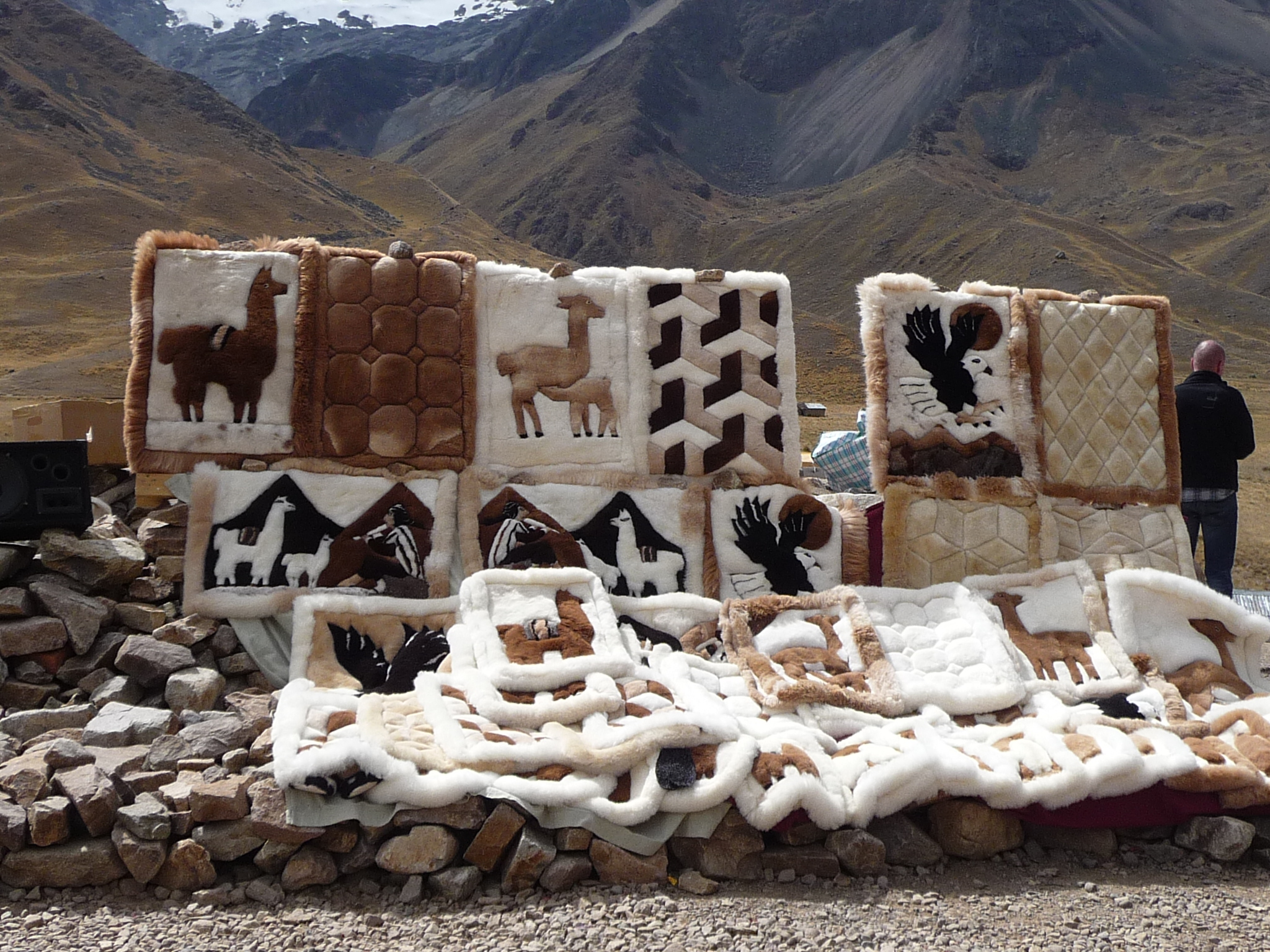
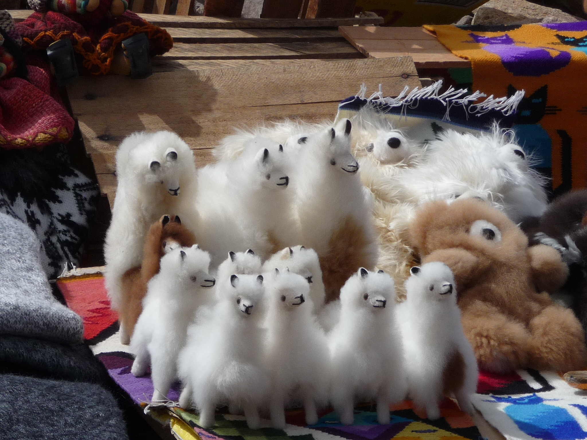
Lots of beautiful things for sale.
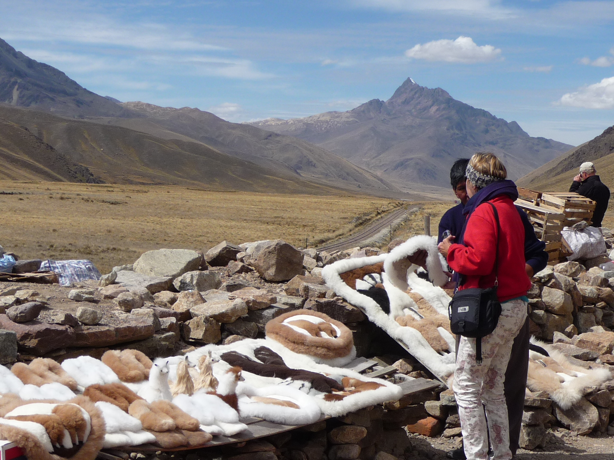
And lots of beautiful scenery to look at.
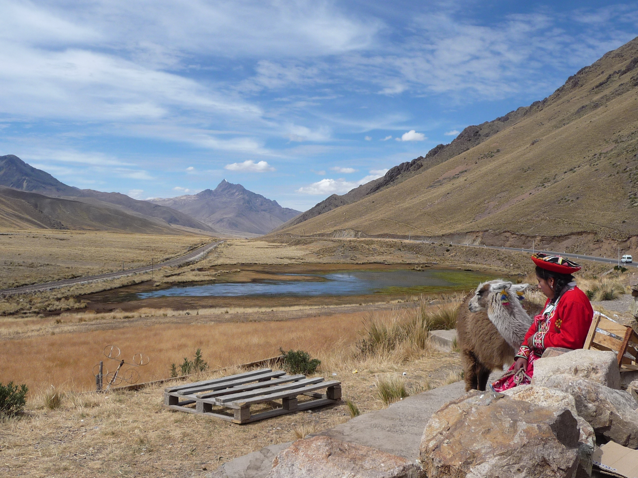
Looking back where we came from. I love the woman on the right, with her alpacas.
Given that we are already at 14,232 feet, those mountains are at least 16,000 feet or higher.
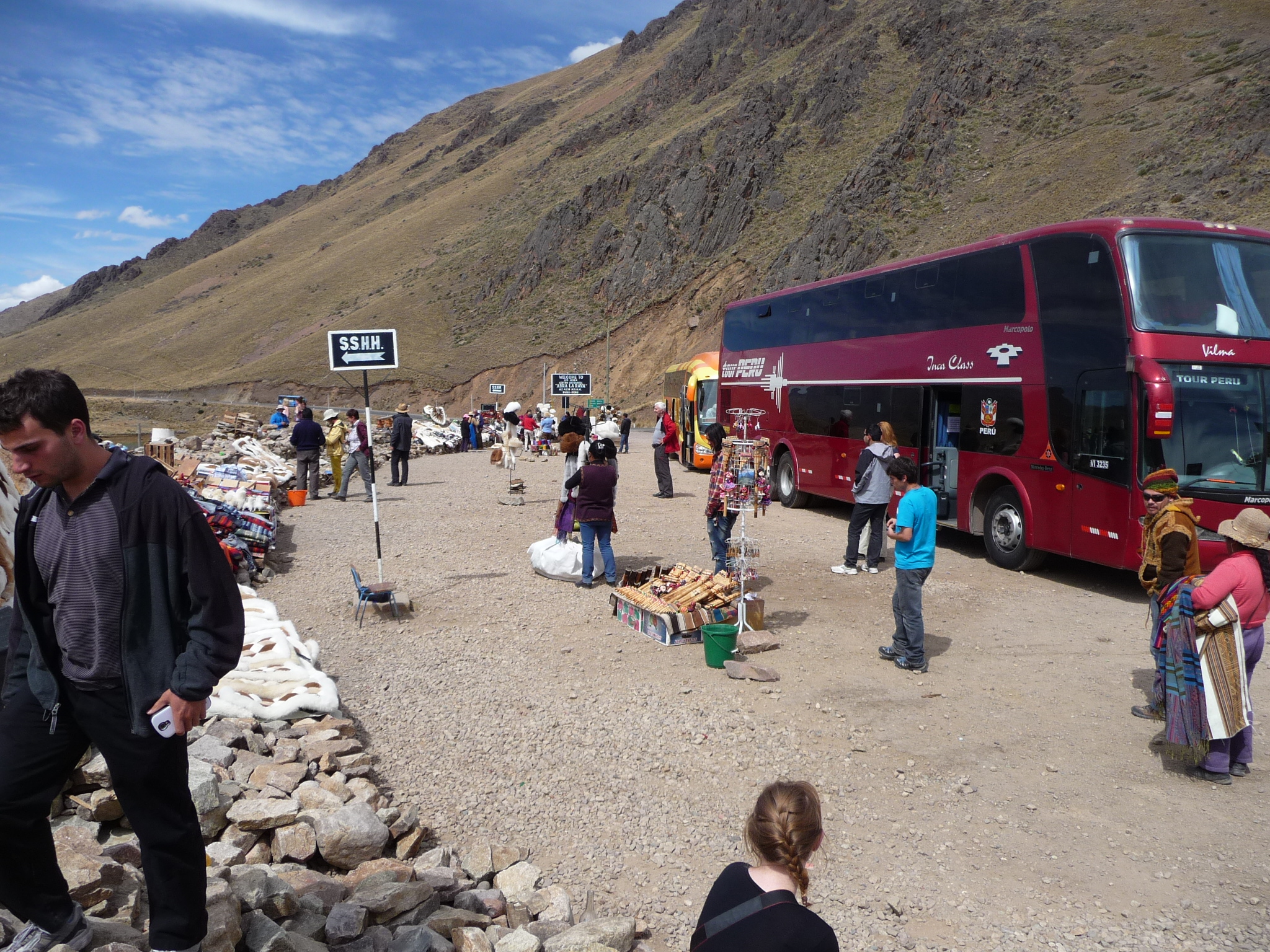
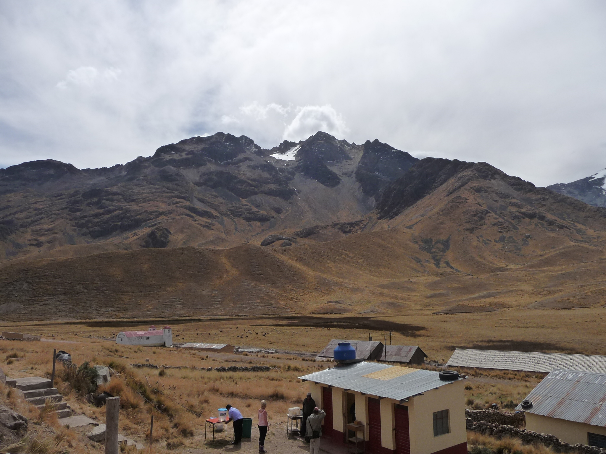
We stop here for about 15 minutes. The driver does not tolerate waiting. When it is time to go, he closes the doors and starts. Then stops to wait 30 seconds for a few stragglers … and then goes again.
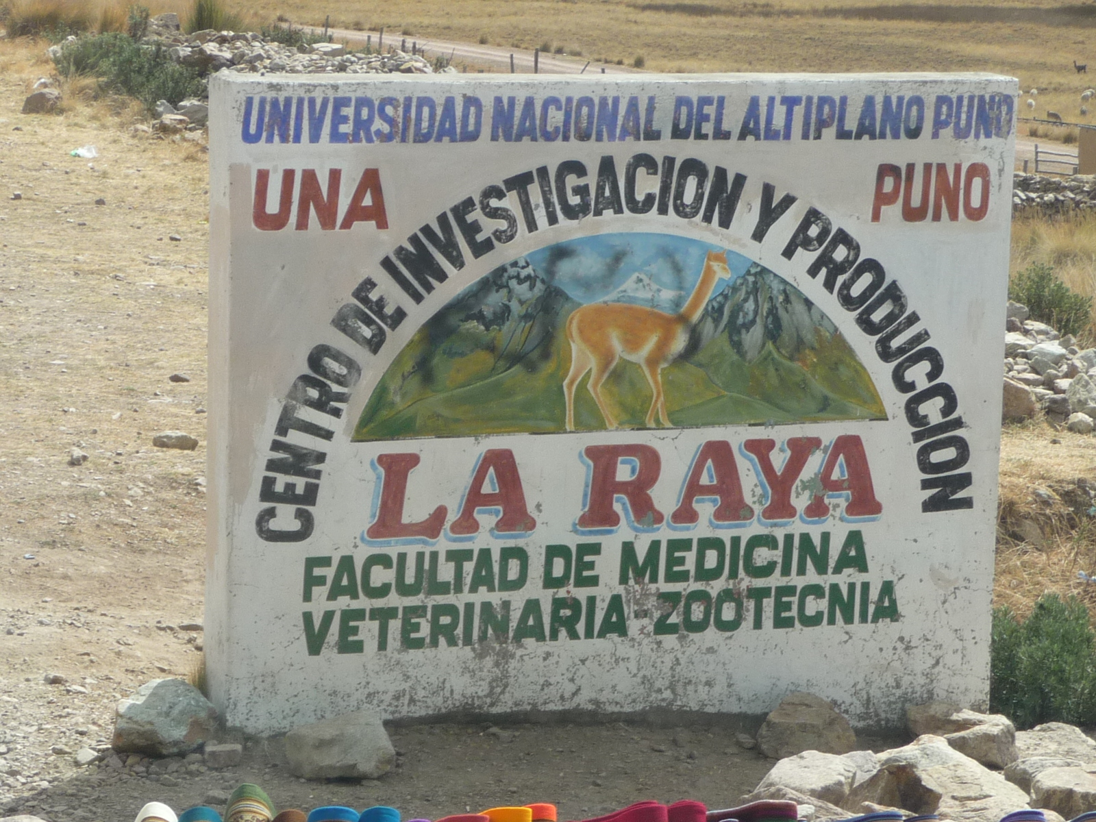
The sign reads “National University of the Puno Altiplano” “Center of investigation and production” … La Raya … Veterinary Medicine Facility …
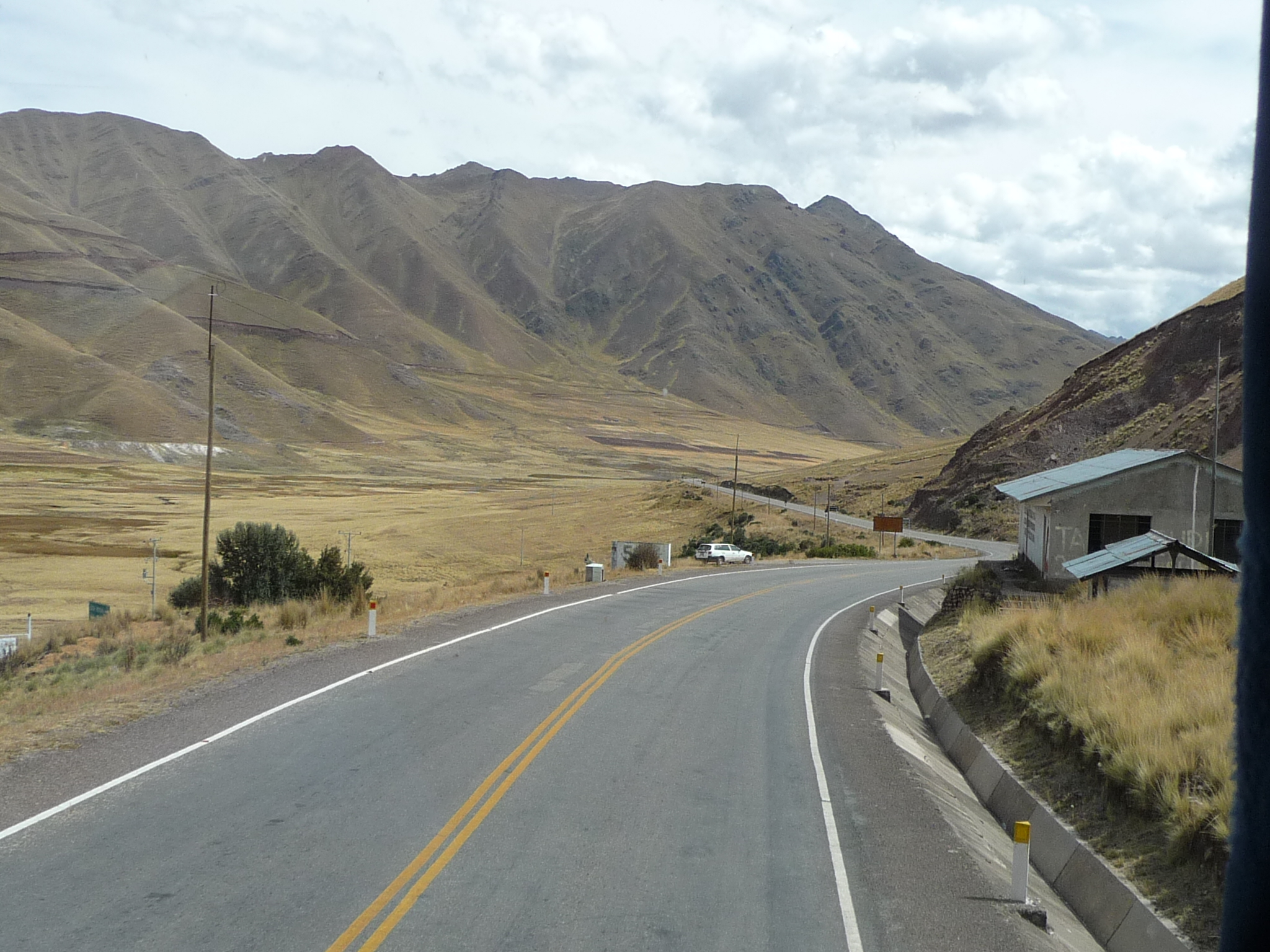
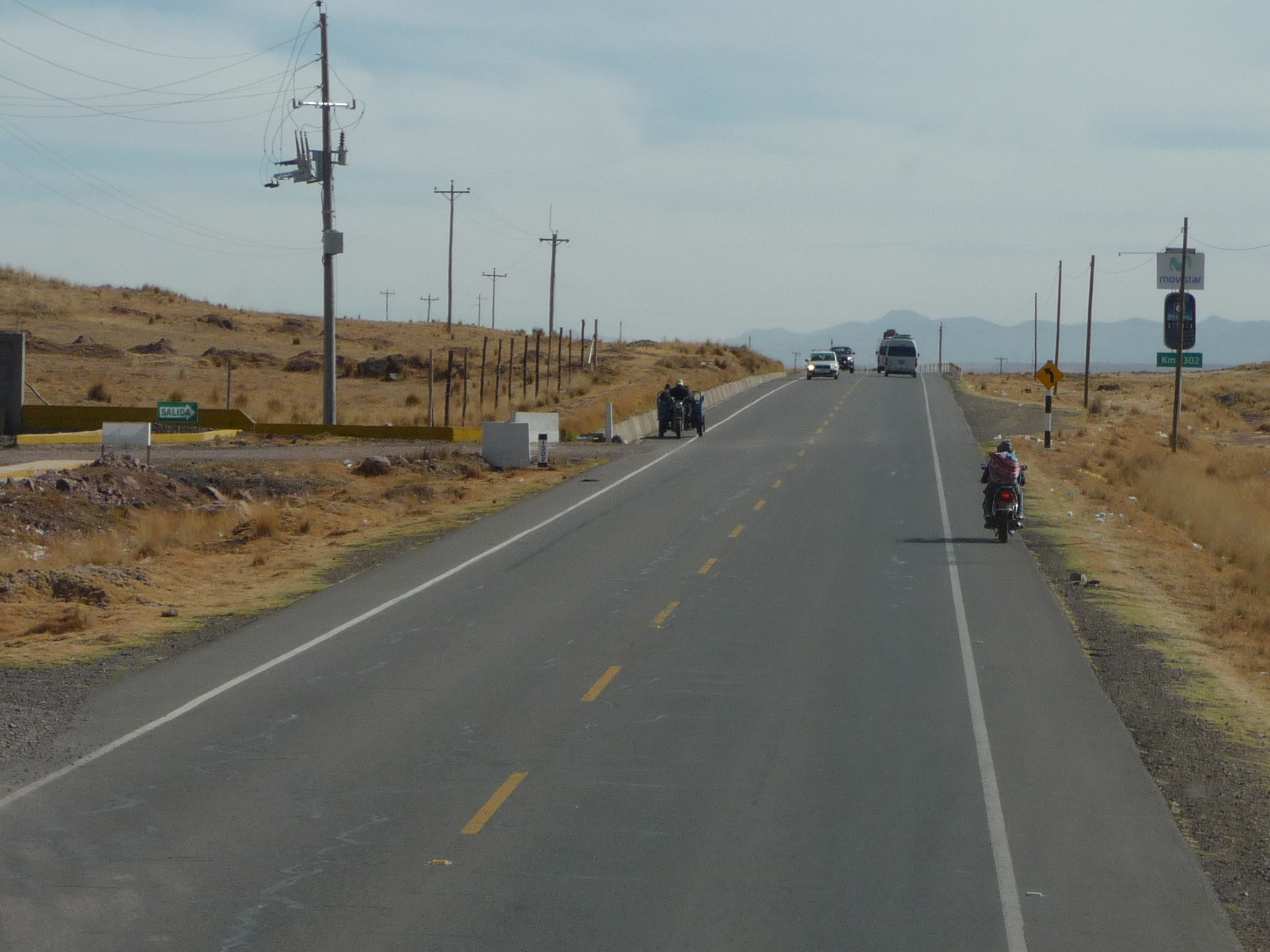
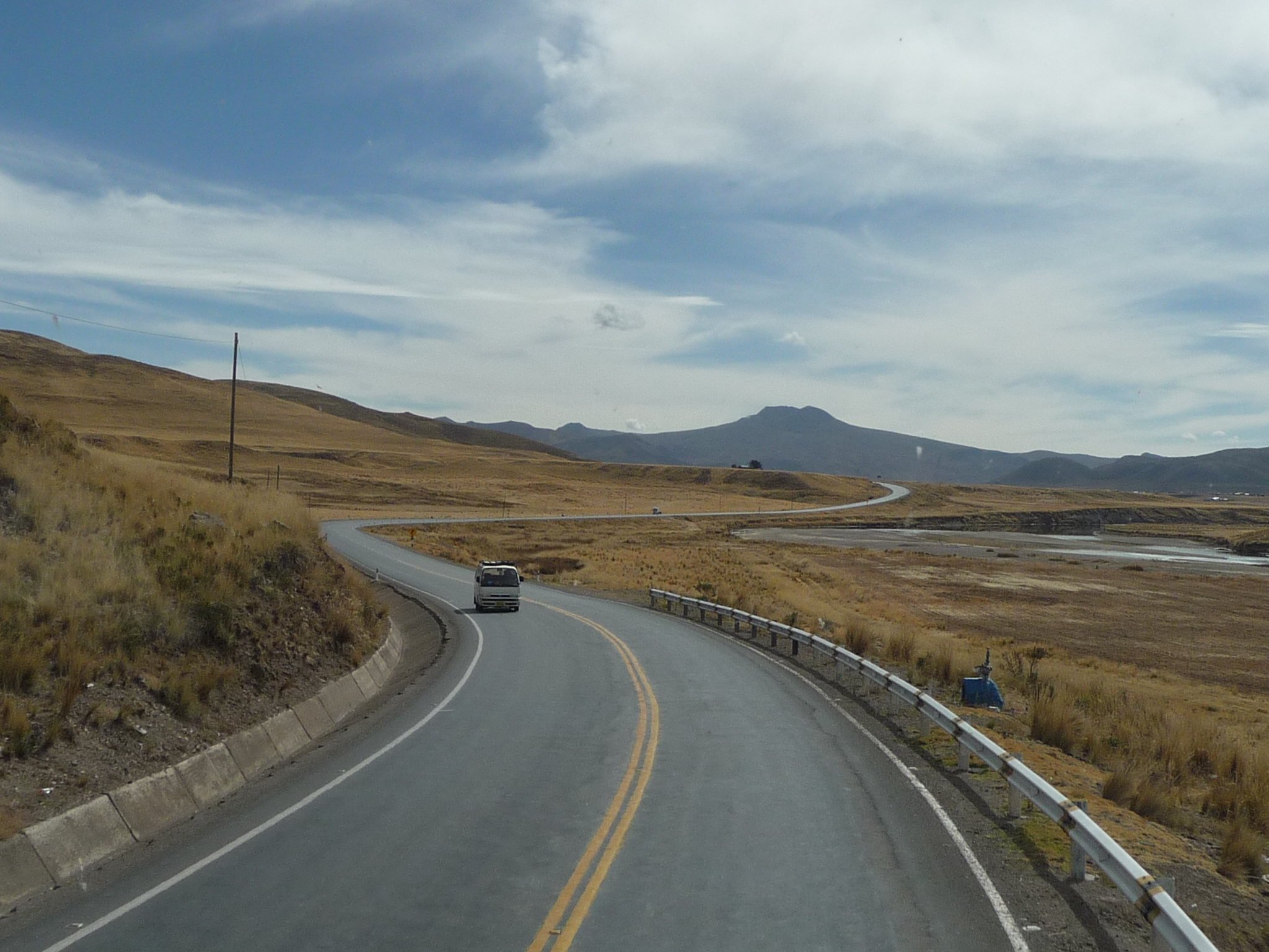
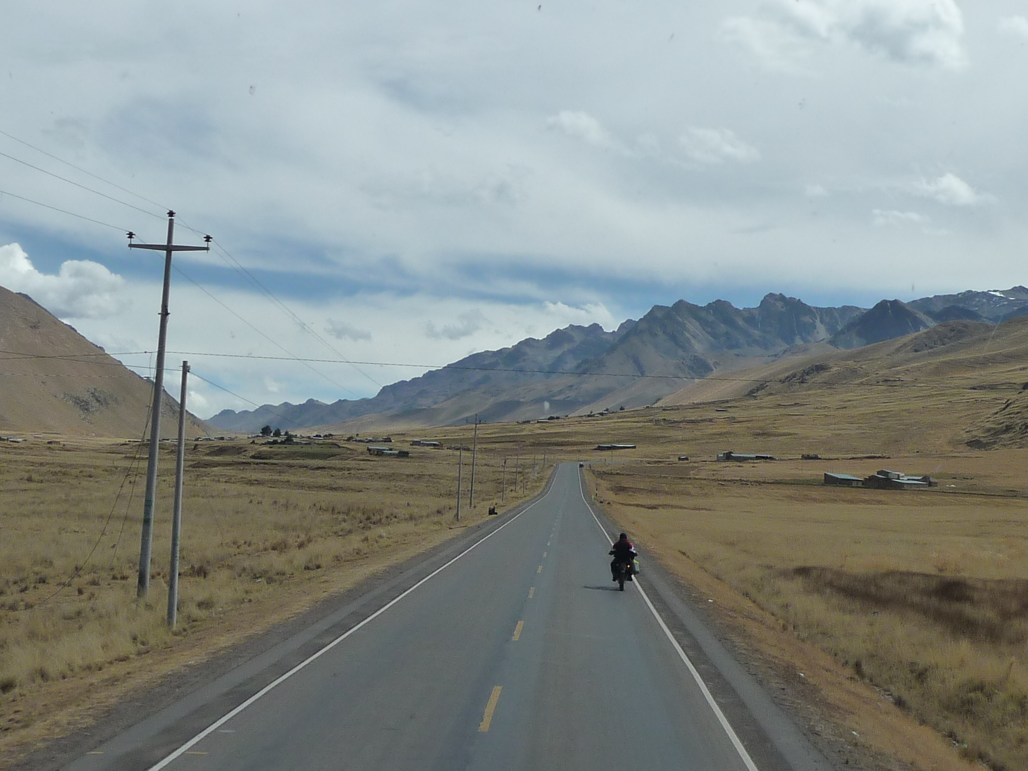
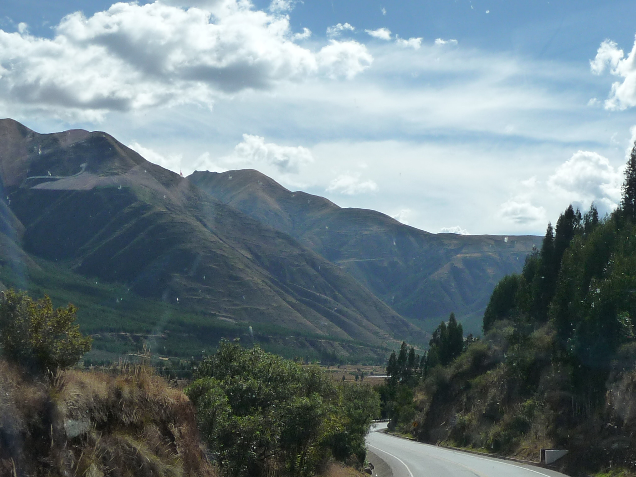
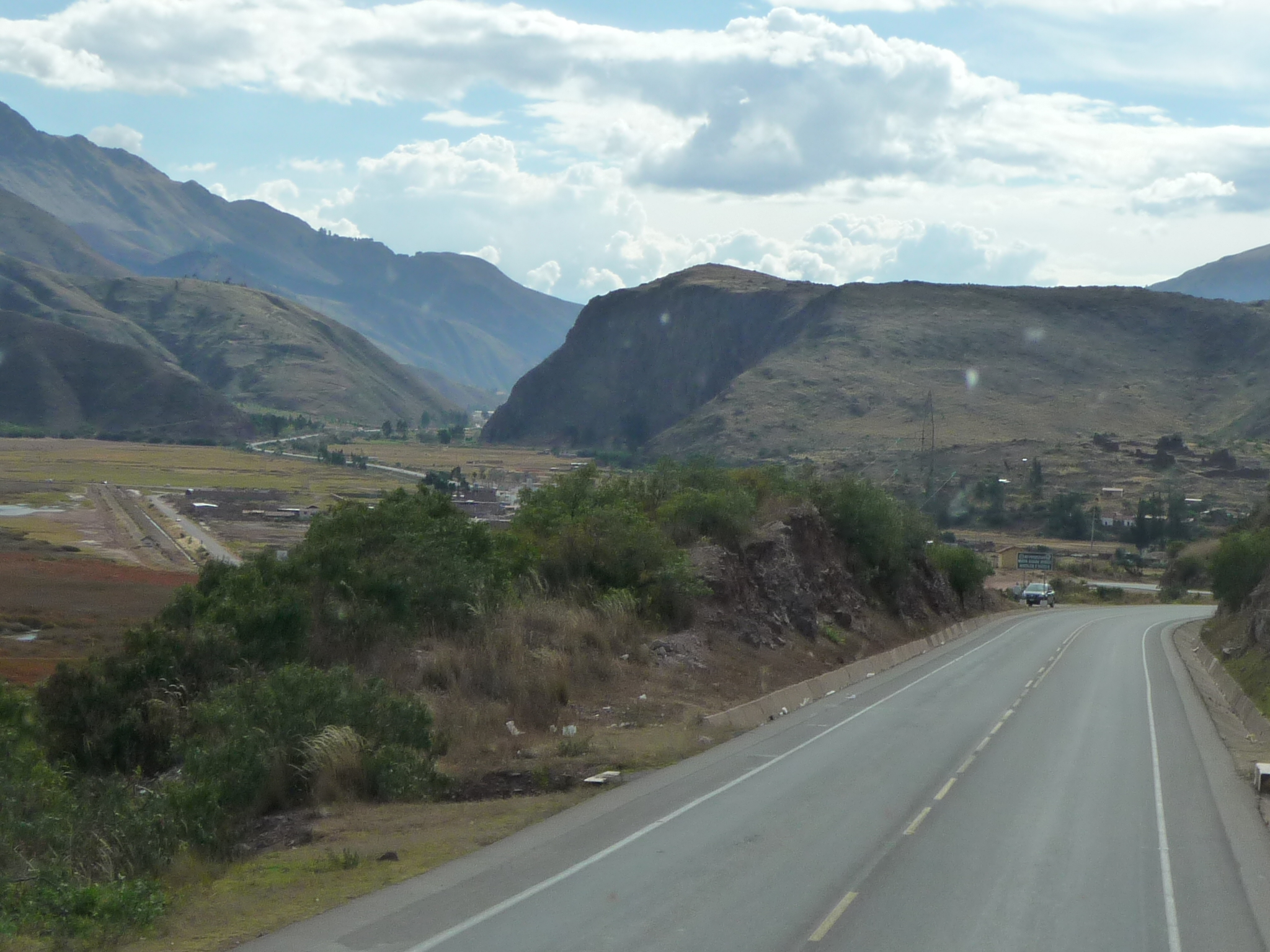
We are back on the road, now descending toward Cusco (still several hours away).
Approaching a small town.
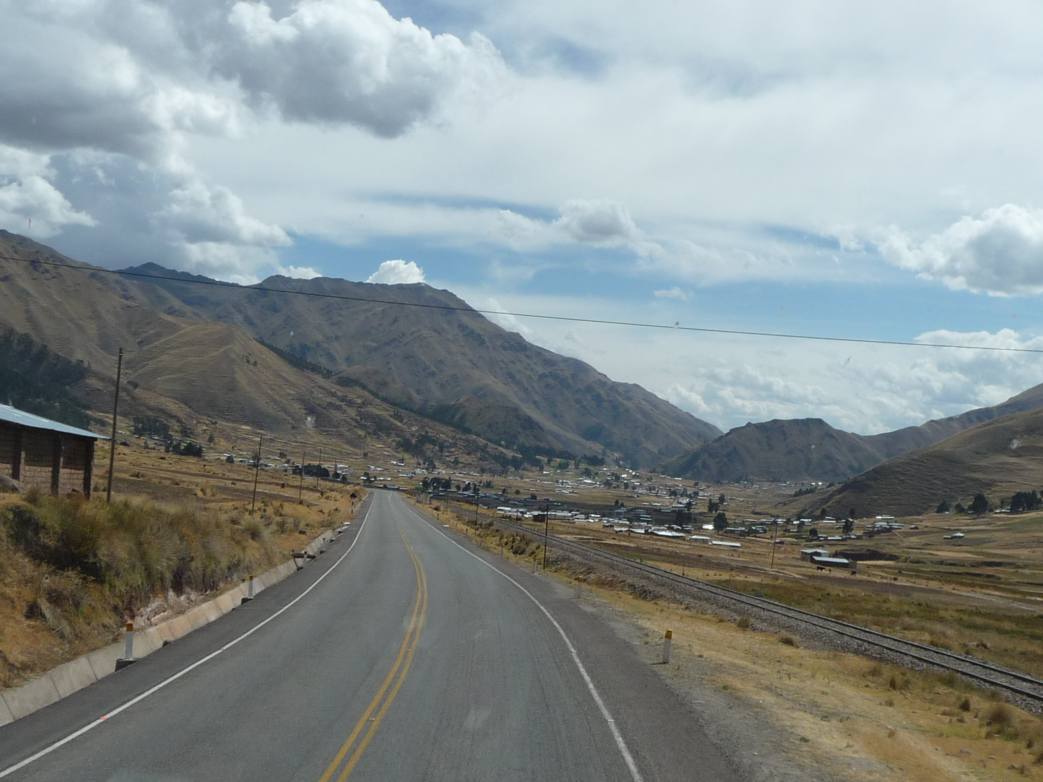
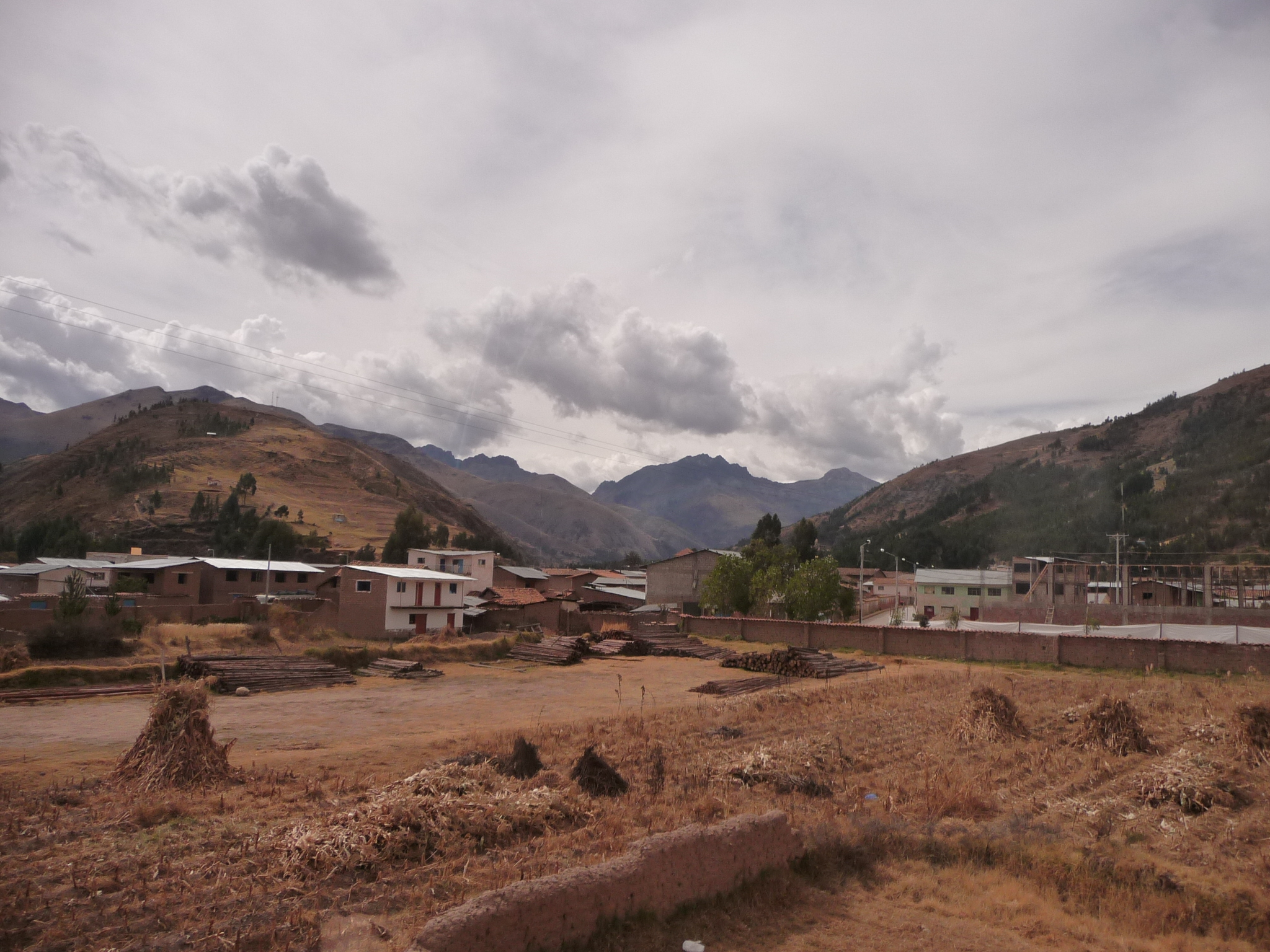
And more populated areas …
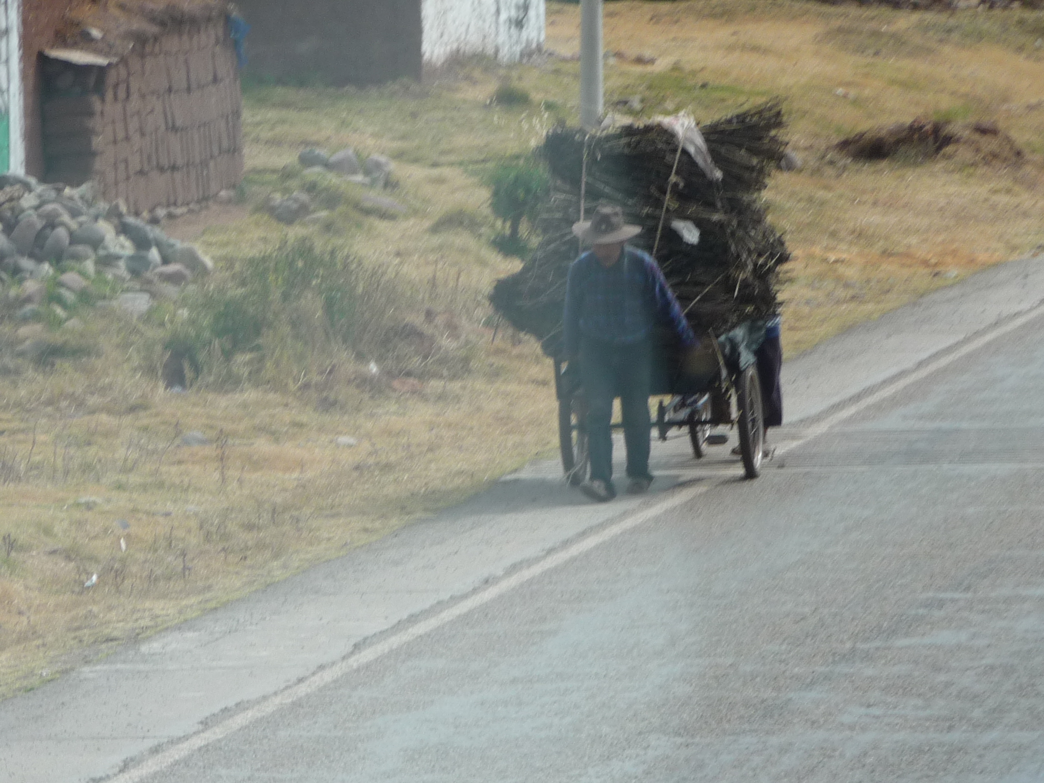
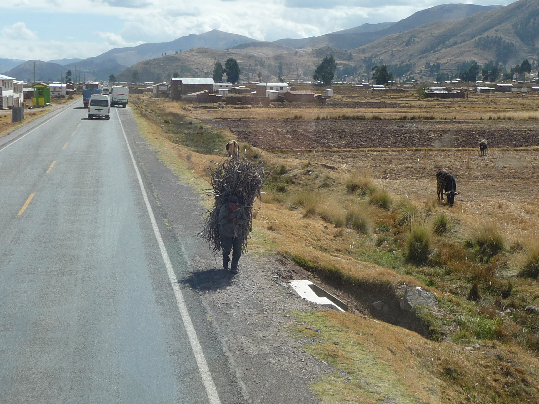
A man carrying a huge load of something. He is pulling his three wheeled bicycle. There is no way he could sit in the back seat. He could never see.
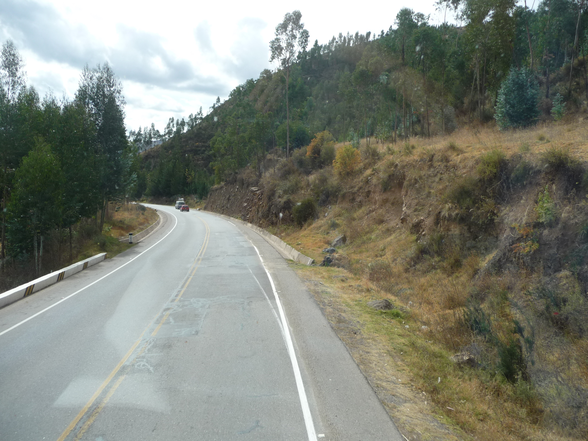
More typical scenery. The landscape is constantly changing.
It is hard to see in this photo. Down beyond the sheep and horses, there are a couple of people with shovels, in the middle of a pile of grains. They are actually trashing grains of some type. They throw the grain into the air and the breeze then blows the chaff off to the sides.
I have seen women in Pisac doing this on a smaller scale … simply sitting by the side of the road with a small tarp full of wheat, throwing it into the air over and over.
A modern building in this small town … not sure exactly what it is … perhaps a school or sporting complex.
A man carrying a huge load of grass or corn stalks … hard to tell from here.
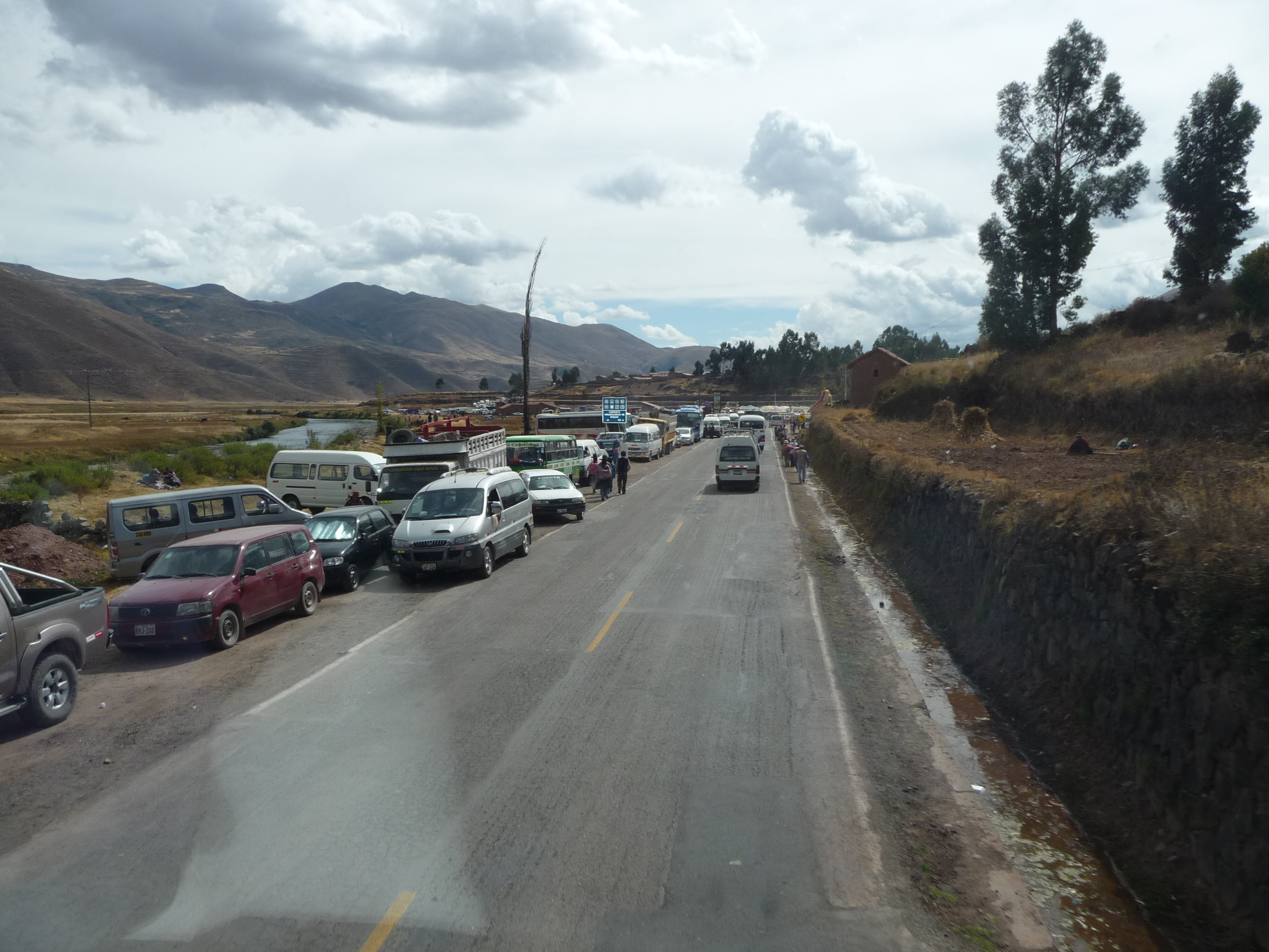
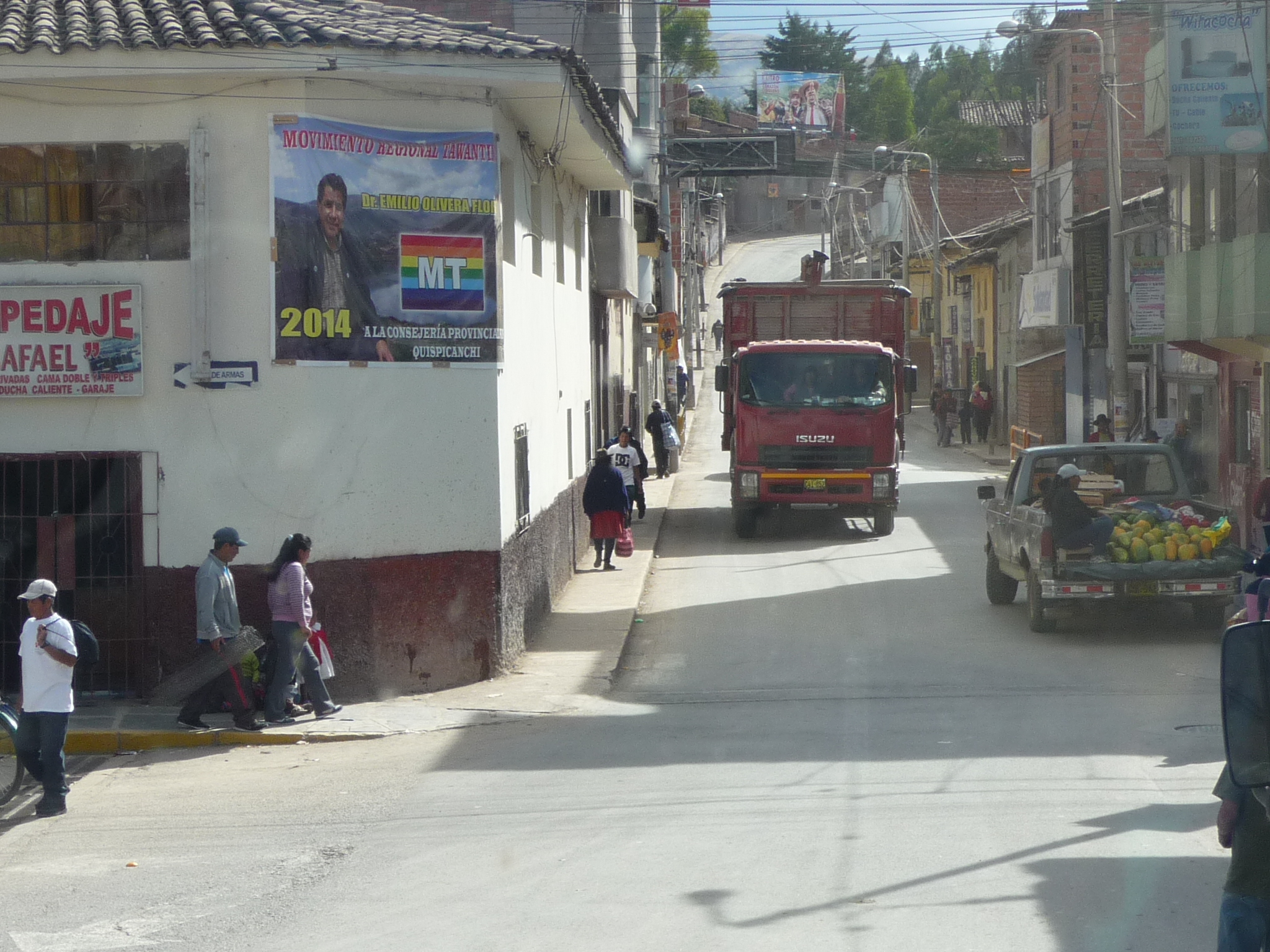
Soon, we drive through a very congested area.
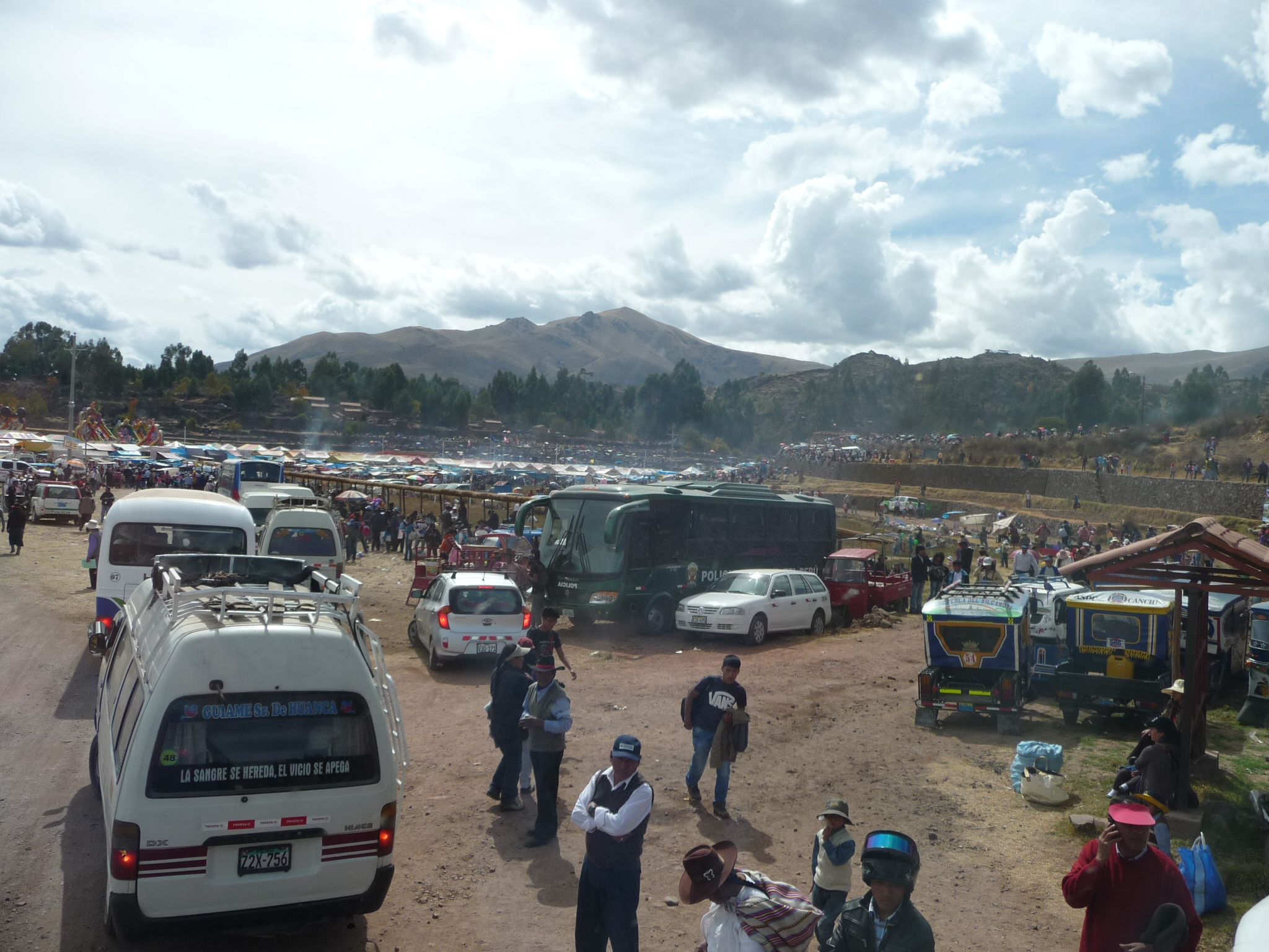
There is some type of huge carnival or festival going on …
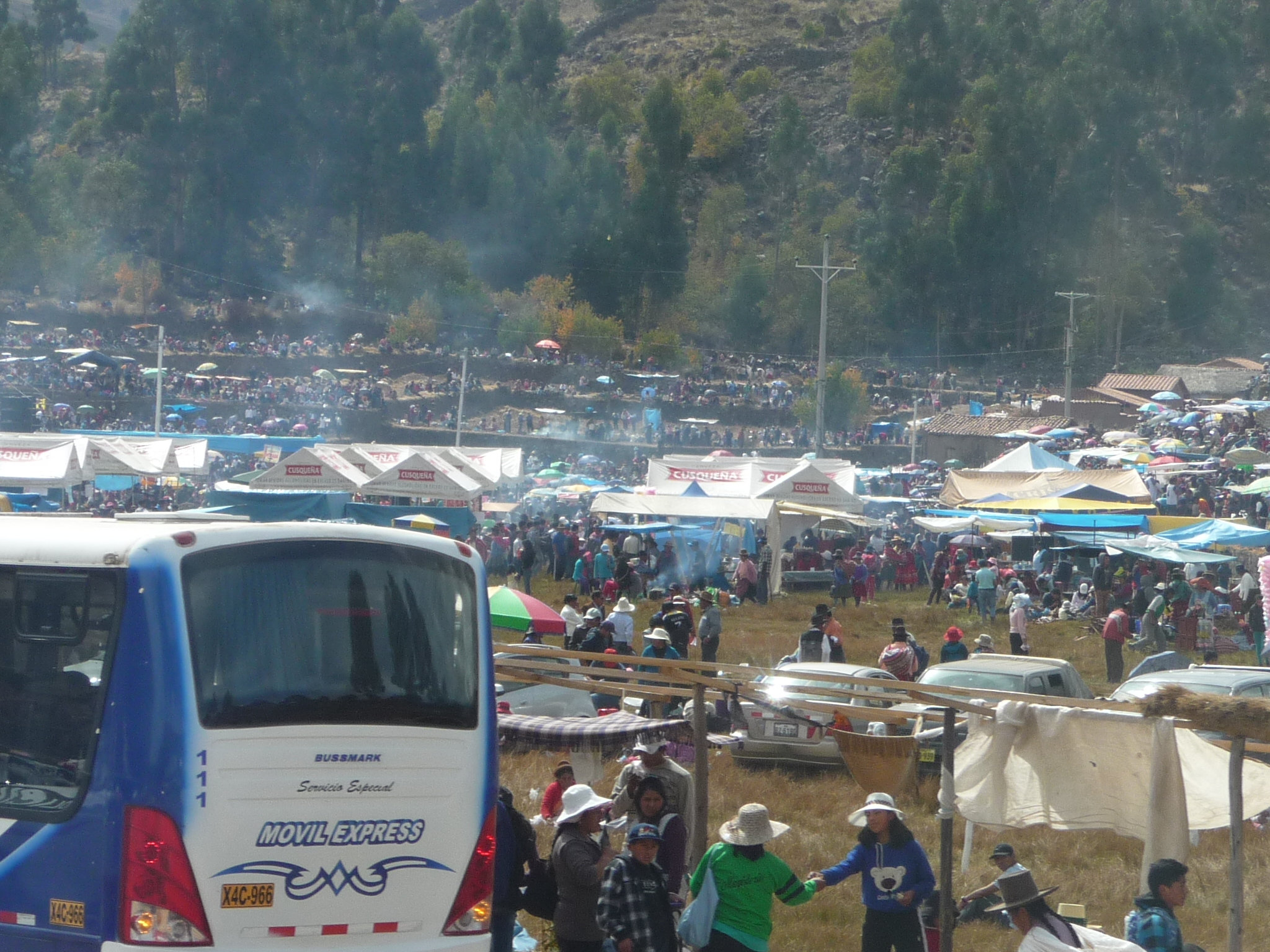
Crowds of people everywhere…
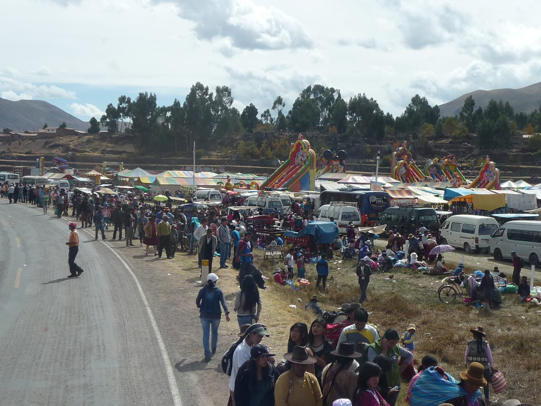
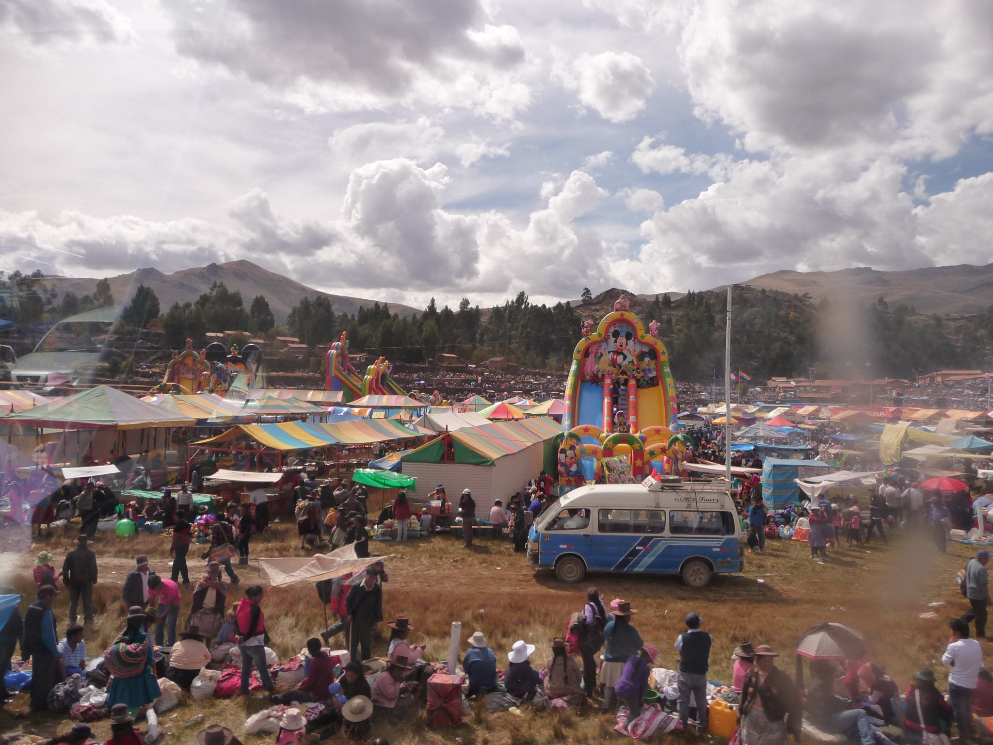
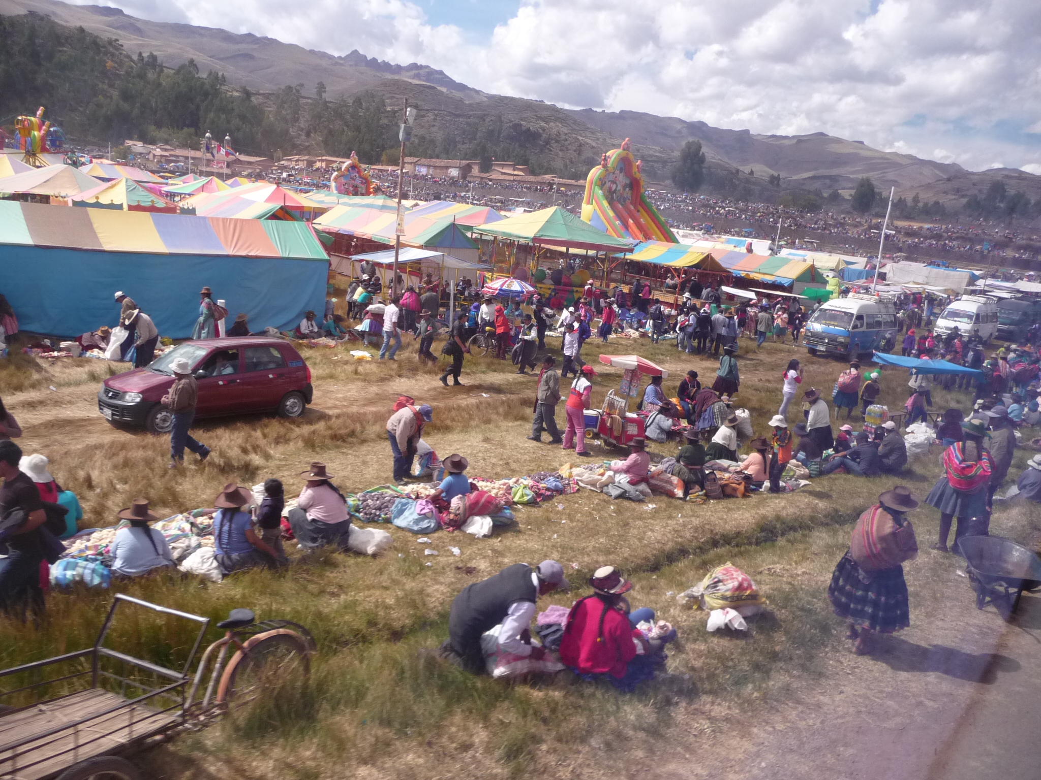
Whatever it is, it looks like they are having fun.
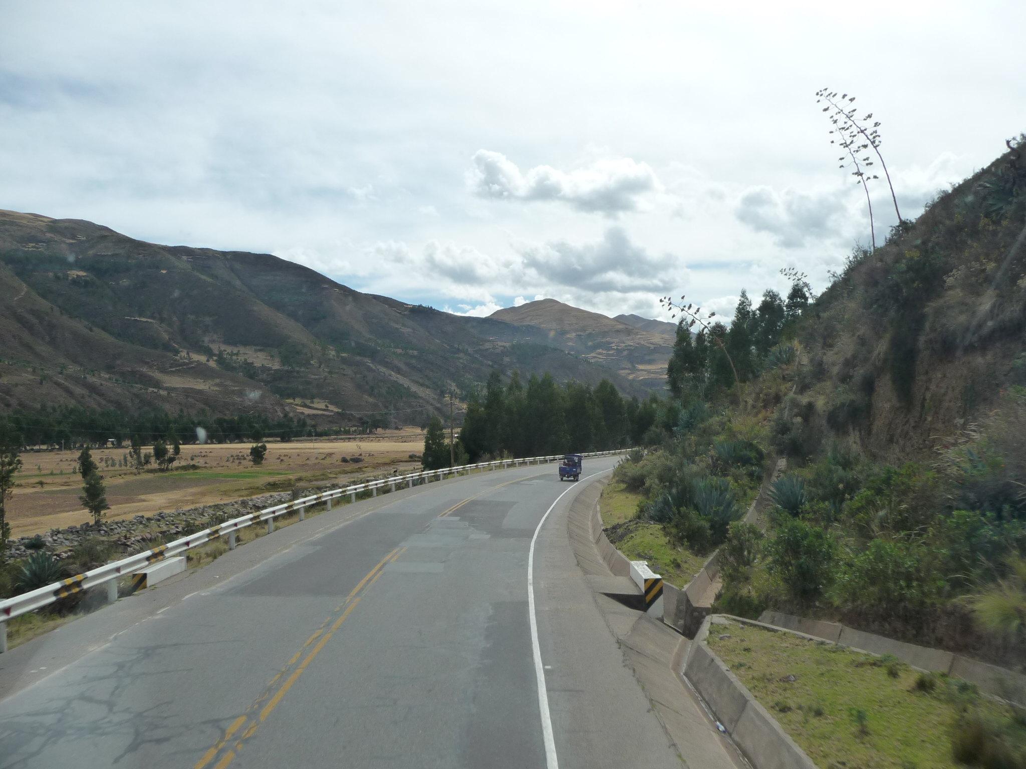
More typical scenery for this area.
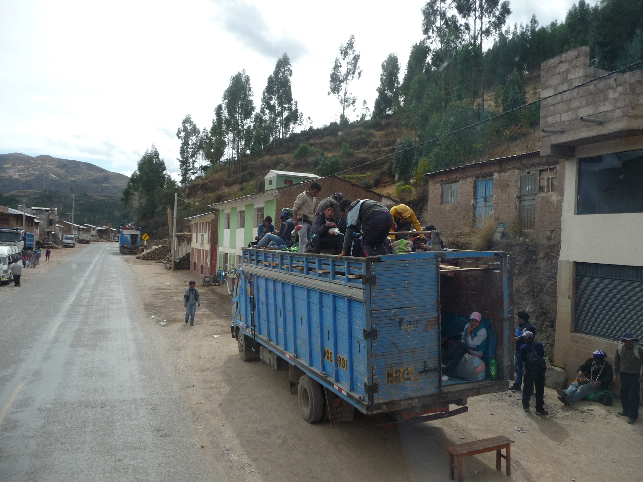
Just down the road, this large truck is filled with travelers, both on top, and down inside.
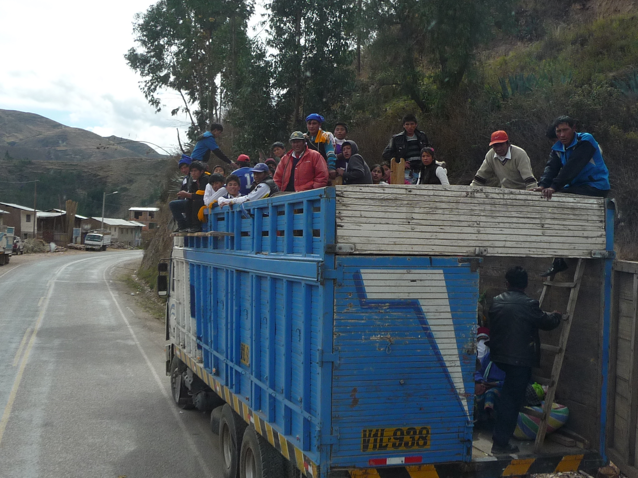
And another one …
… down the road …
I love that mountain.
The bus windows are getting very dirty (bugs all over) … but the scenery is getting very beautiful.
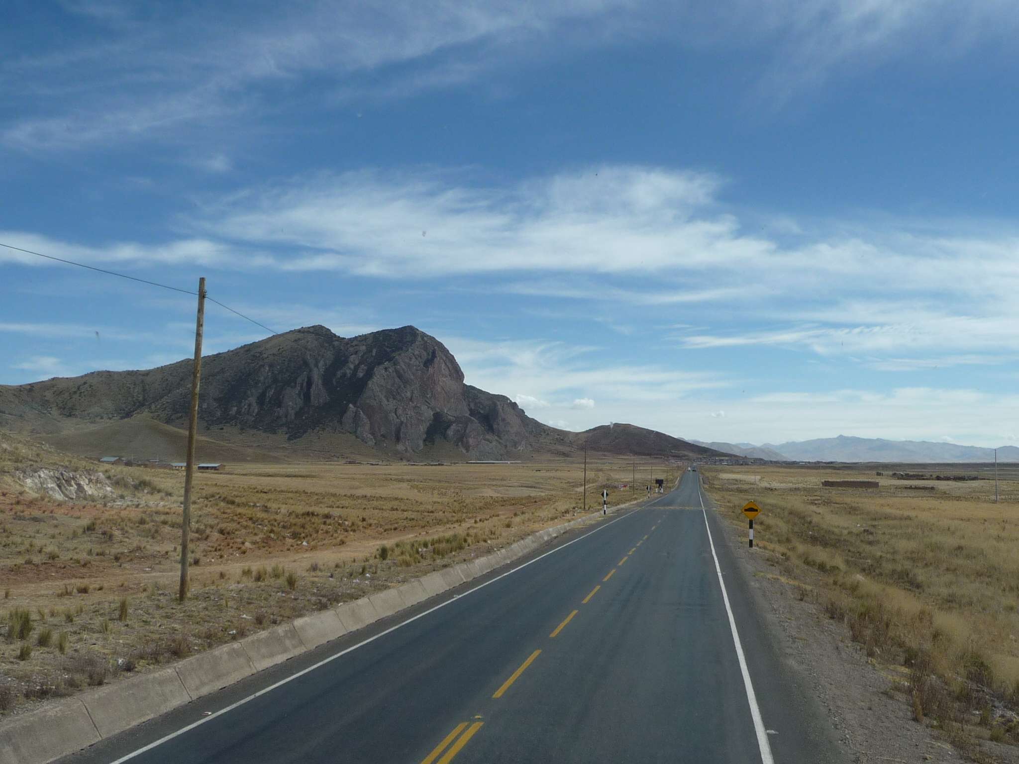
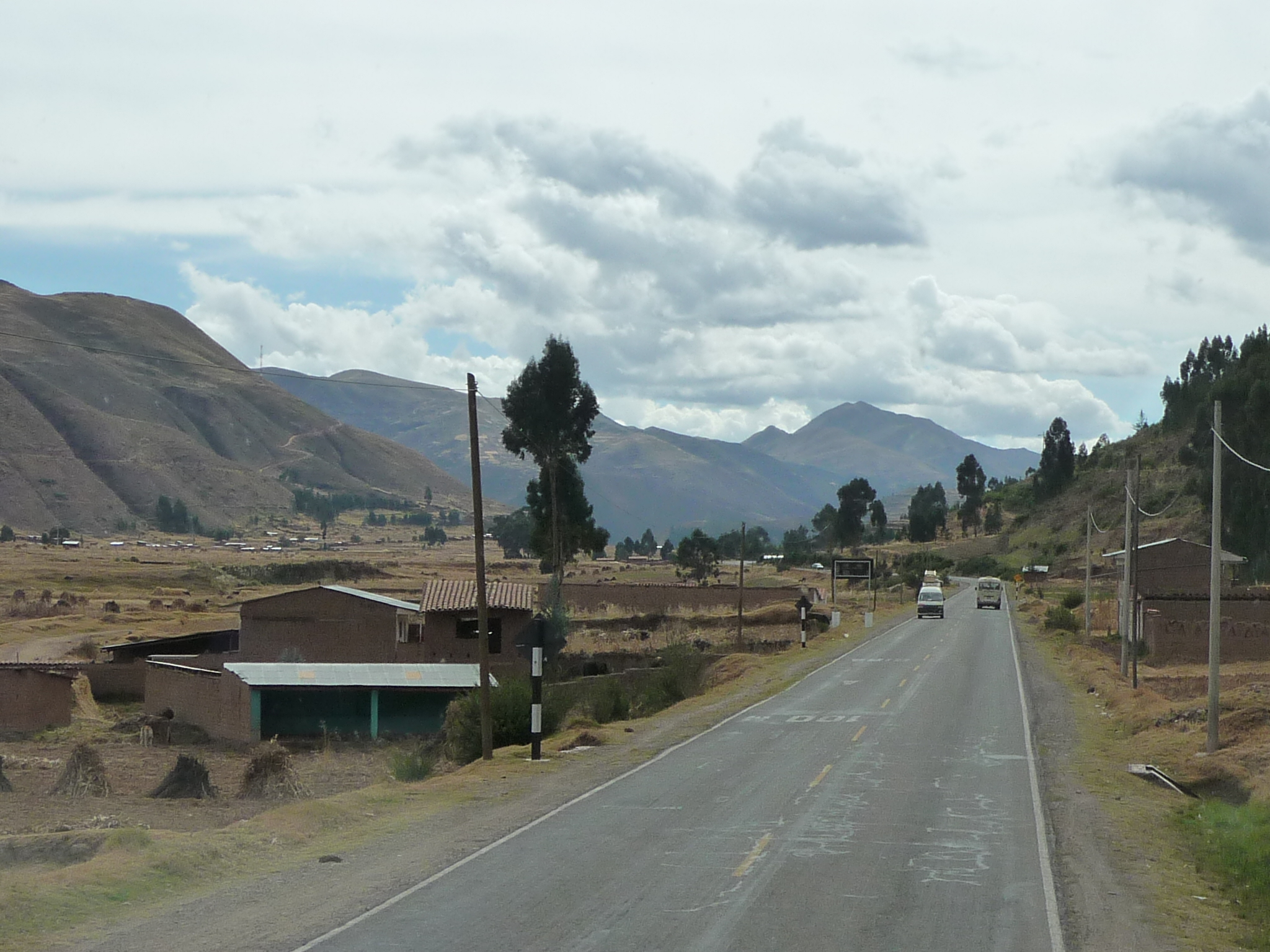
Passing through another town. I think we are less than an hour away from Cusco.
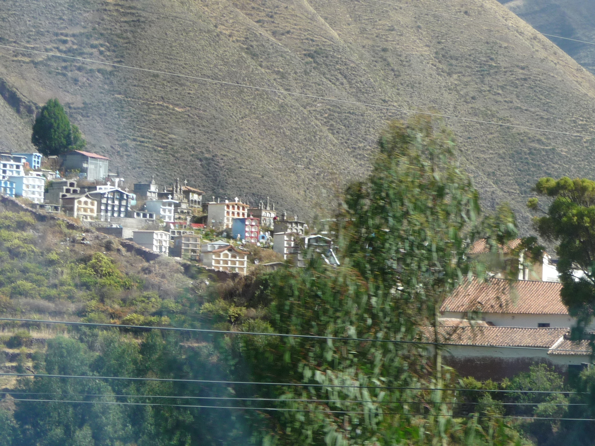
I am fascinated by this cemetery on the hill. It looks like a little city. If you click on the photo, you can see that each of the little alcoves is a space for a casket to go inside. Some of those little building have room for at least twenty caskets each …
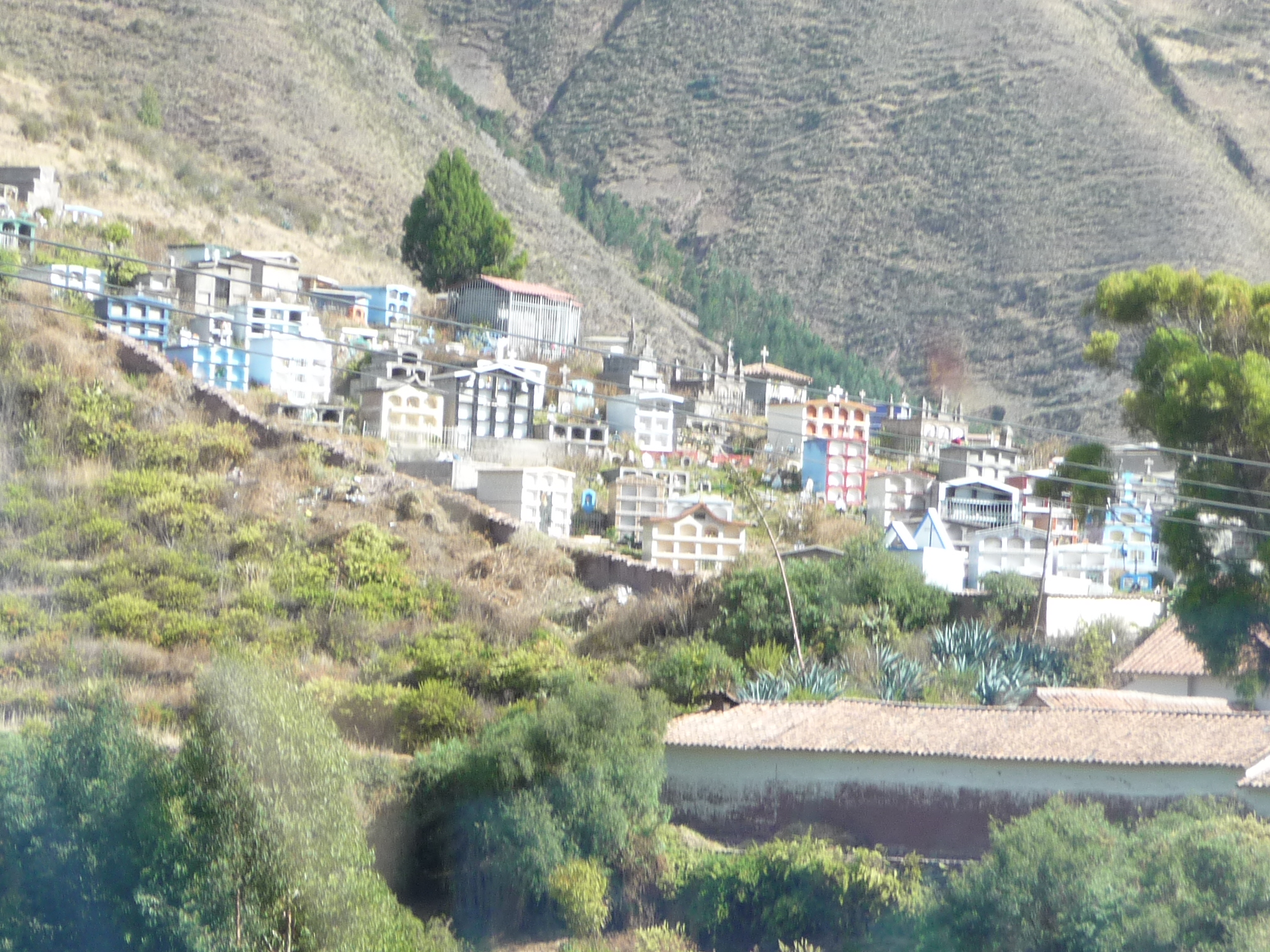
A closer view of the same cemetery.
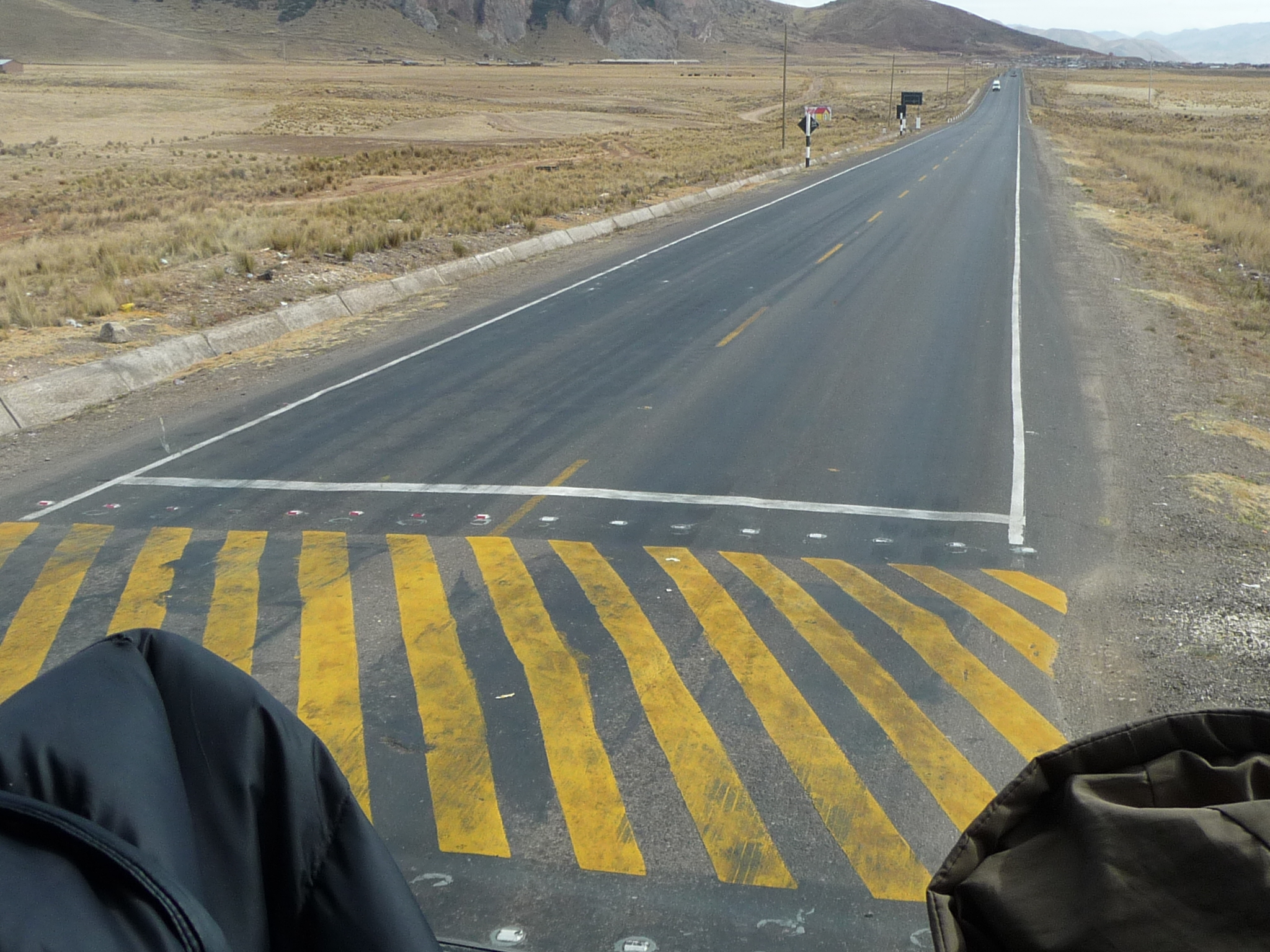
Continuing on toward Cusco.
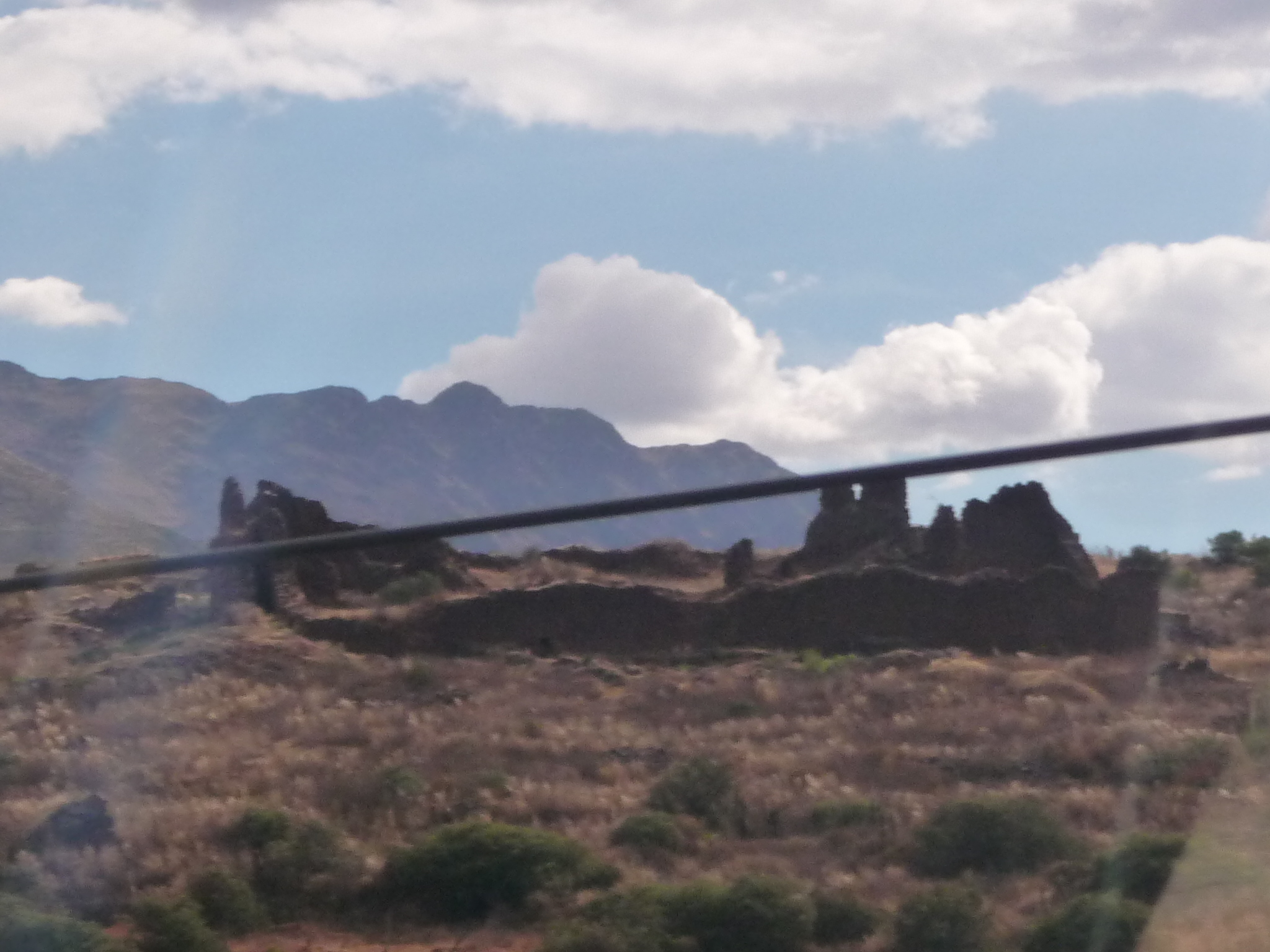
We are getting very close to Cusco now. These are a few small ruins as we approach the town from the southeast side.
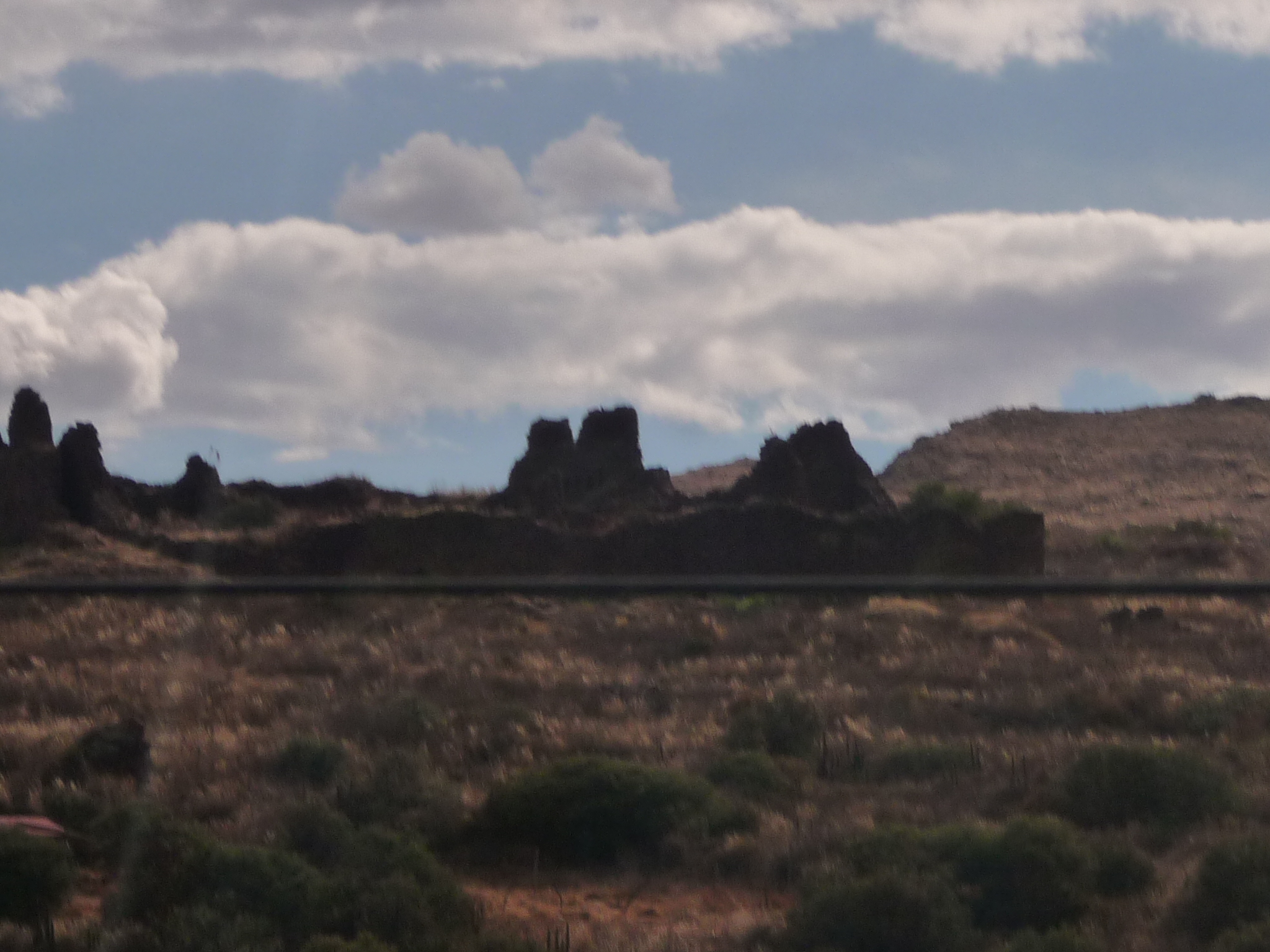
More tiny ruins as seen from a distance.
And entering the outer edges of Cusco (at least the suburbs of Cusco).
At this point I put my camera away.
In less than a half hour, we arrive at the bus terminal. As I exit in search of transportation, a taxi driver approaches me and asks if I want a ride. I tell him I want to go to the San Pedro Market. Before I let him take me, I know I need to first negotiate a price. He tells me 50 soles and I just laugh and start to walk away. He comes back and offers 15 soles and I laugh, wave him off, and keep walking. When he comes down to 10 soles I tell him I would pay three soles. He laughs at me and walks away. I am later told by locals here that three soles (about $1.20) is a very fair price. But the driver knows he can find someone else to overcharge …
I walk outside, hoping to find a free taxi, but we are getting close to Inti Raymi, and there are fiestas going on nearby, and there are no taxi’s available.
I walk and walk, dragging my suitcase behind me. After an hour I arrive at the San Pedro Market, only to find it closed. It is Sunday after 4:00 p.m.. I also notice that the streets are extremely congested. As I walk toward the Plaza De Armas, the are so many people crowding the street that I can barely get by them, and often have to slow down and wait. It takes about twenty minutes for a distance that normally takes me five minutes.
I am shocked as I approach the plaza. It is packed with people. We are only a week away from the height of the Inti Raymi festival, and today seems to be a big part of it.
After grabbing a quick late afternoon lunch, I do find an available cab that takes me to the collectivo stop. He warns me that on a Sunday evening, I may have trouble finding transportation. Luck is in my favor, and a minivan headed for Pisac is waiting for me. The woman who is driving is anxious to get home, so she does not wait for the minivan to fill up. Soon, we re on our way.
At shortly after 5:30 p.m., I arrive at my room in Pisac, tired, but happy to be home.
I can only laugh with surprise when I discover water leaking out of my daypack. My water bottle lid has popped open, and has gotten my computer all wet. The monitor will not even work at all for the next hour or two. I just turn it off and let it dry. Late that night I try again. It eventually starts to work, but has lots of weird lights all over. Gradually, over the next week the lights mostly fade. Now, I only have a small section of my screen that is weird … but very usable.
I feel quite lucky that I continue to have a working computer at all.
These last two weeks have brought amazing adventure, with visits to Machu Picchu, and then extended visits to Lake Titicaca, on both the Bolivia and Peru sides. And in every place I have visited, the experiences have been life changing.
I am so grateful for the opportunities.
Copyright © 2014 by Brenda Larsen, All Rights Reserved