This post is part one of a two-part posting. It contains 234 photos, including detailed narratives, and covers my travel from Pisac to Machu Picchu, and all of my first day-and-a-half in the Machu Picchu area. The second post will cover my second day in the ruins (hiking Wayna Picchu), plus my journey back to Pisac.
Saturday, after spending the night in Ollantaytambo, I board a train destined for Aguas Calientes, which is a small town located in the valley below Machu Picchu. I spend most of that first day then exploring the Aguas Calientes, including a long hike that takes me around the base of Wayna Picchu.
Early Sunday morning, I catch a 6:00 a.m. bus up to Machu Picchu and spend most of the day exploring and meditating in the ruins and surrounding areas.
Early Monday morning, I catch another bus, and am the first to begin the 7:00 a.m. hike up Wayna Picchu, the famous mountain seen right behind Machu Picchu in most panoramic photos of the ruins. After the hike, I again spend more time in the ruins. Later that evening I take a train back to Ollantaytambo, again spending the night in that small town.
Finally, on Tuesday morning, June 3, 2014, I return from Ollantaytambo to Pisac, again via local transportation.
As usual, the photos in this post are thumbnail images. Please click on any photo to enlarge it. The thumbnails leave much to be desired as far as colors and resolution – plus the thumbnails clip all of the edges. I use thumbnails for the post itself, because it gives people an opportunity to get a summary glimpse without downloading huge amounts of data for the high-res photos.
CLICK ON ANY PHOTO TO ENLARGE TO HIGH RESOLUTION
Pisac To Ollantaytambo
On Friday, May 30, 2014, I leave Pisac in the morning and board an old bus that takes me down the Sacred Valley to the city of Urubamba. Soon, I change into a different transport – a minivan (called a collectivo) that then takes me the rest of the way to Ollantaytambo (pronounced Oh-yawn-tie-TOM-bo).
Ollyantaytambo is a small indigenous town that resides at about 9160 feet above sea level (2792 meters). While the total journey from Pisac to Ollantaytambo is only about 37 miles (59 kilometers), the journey takes a good hour and a half on public transportation. This small town is near the end of the road, and is the last town in the Sacred Valley that is accessible by car. From this point on, the only way to get to Aguas Calientes, and Macchu Pichu, is by train (or hiking the Inca Trail).
Once in this beautiful little town, I locate an economical hotel, search out a small lunch, and then begin to explore. I will be spending the night here.
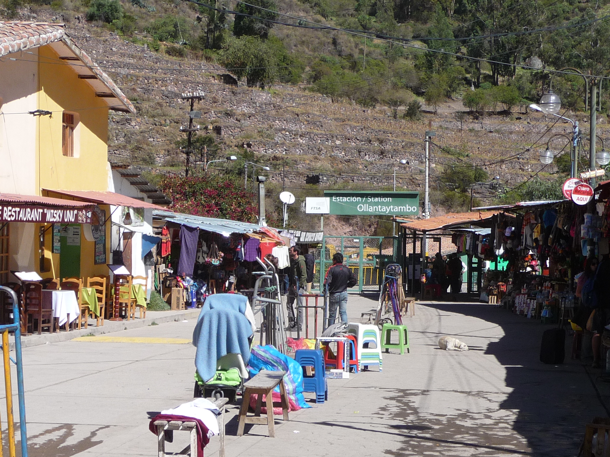
One of the first places I visit is the train station, which is located by the river, down the hill from the center of town, requiring about a fifteen minute walk past the occasional shop, hotel, or restaurant.
This photo is at the bottom of that road. The green sign in the middle reads “Ollantaytambo Station”. Tomorrow morning I will return here to catch my train.
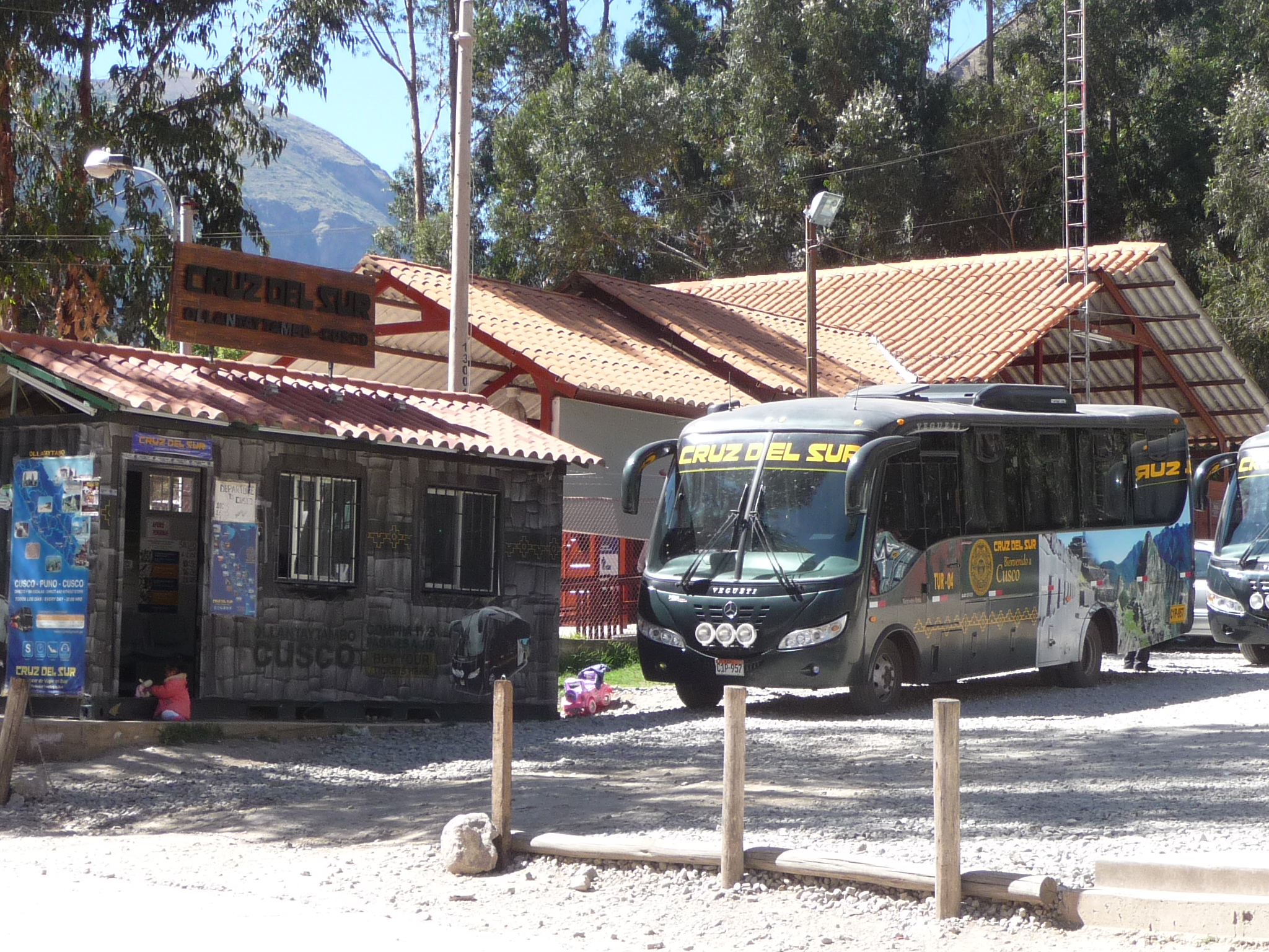
This photo does not mean anything special. I just found it interesting that there was also a bus station right next to the train station. This is a bus from the company “Cruz Del Sur”. I don’t know it yet, but I will be using this bus line in the near future when I decide to travel to Lake Titicaca.
I already have my tickets, but if I didn’t I would have been able to purchase them here (if there were any left). In the foreground, you can see two local women selling hats, warm clothing, and who knows what else. There are many such vendors here trying to sell anything and everything that one might need when traveling to Machu Picchu.
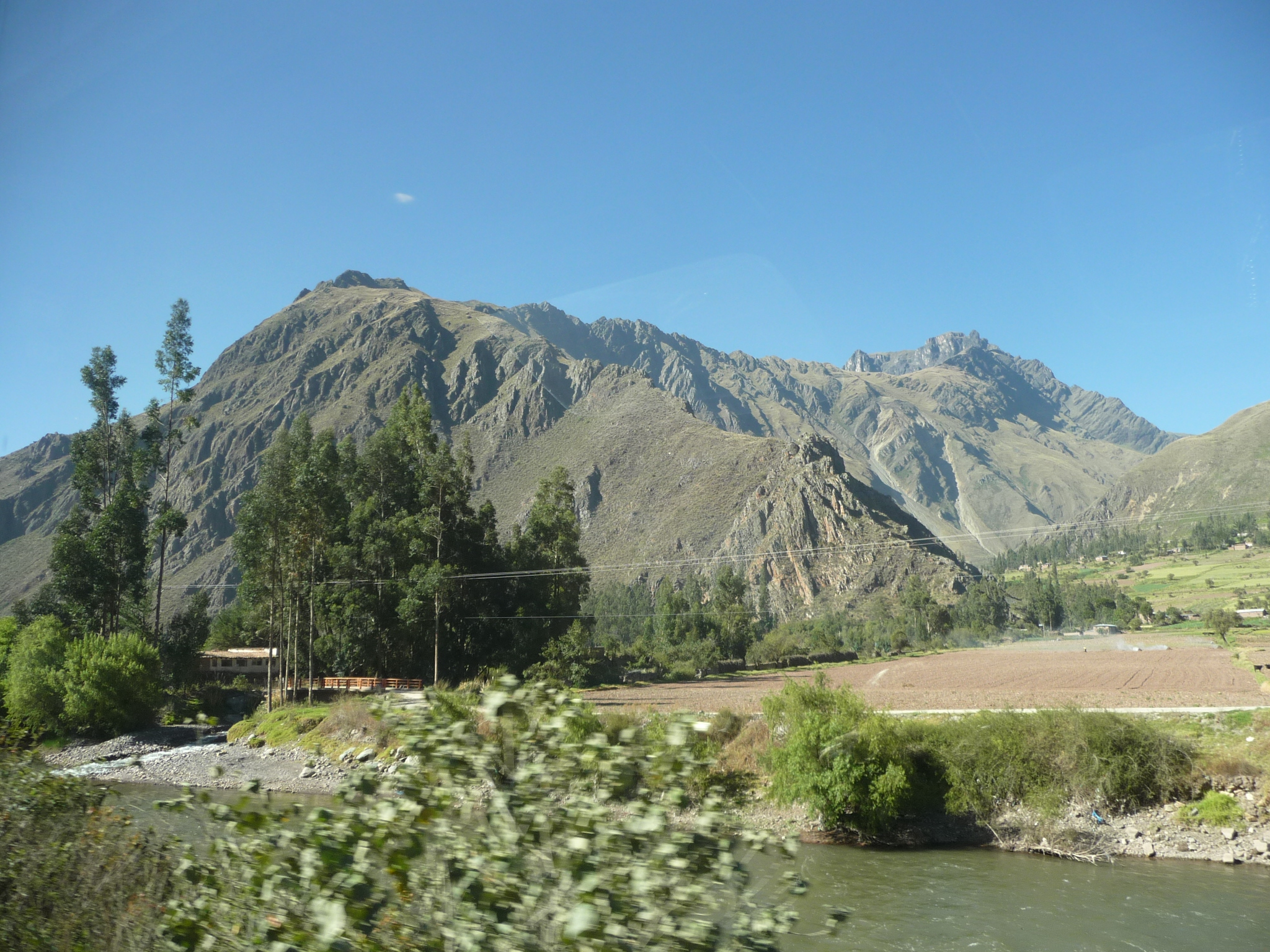
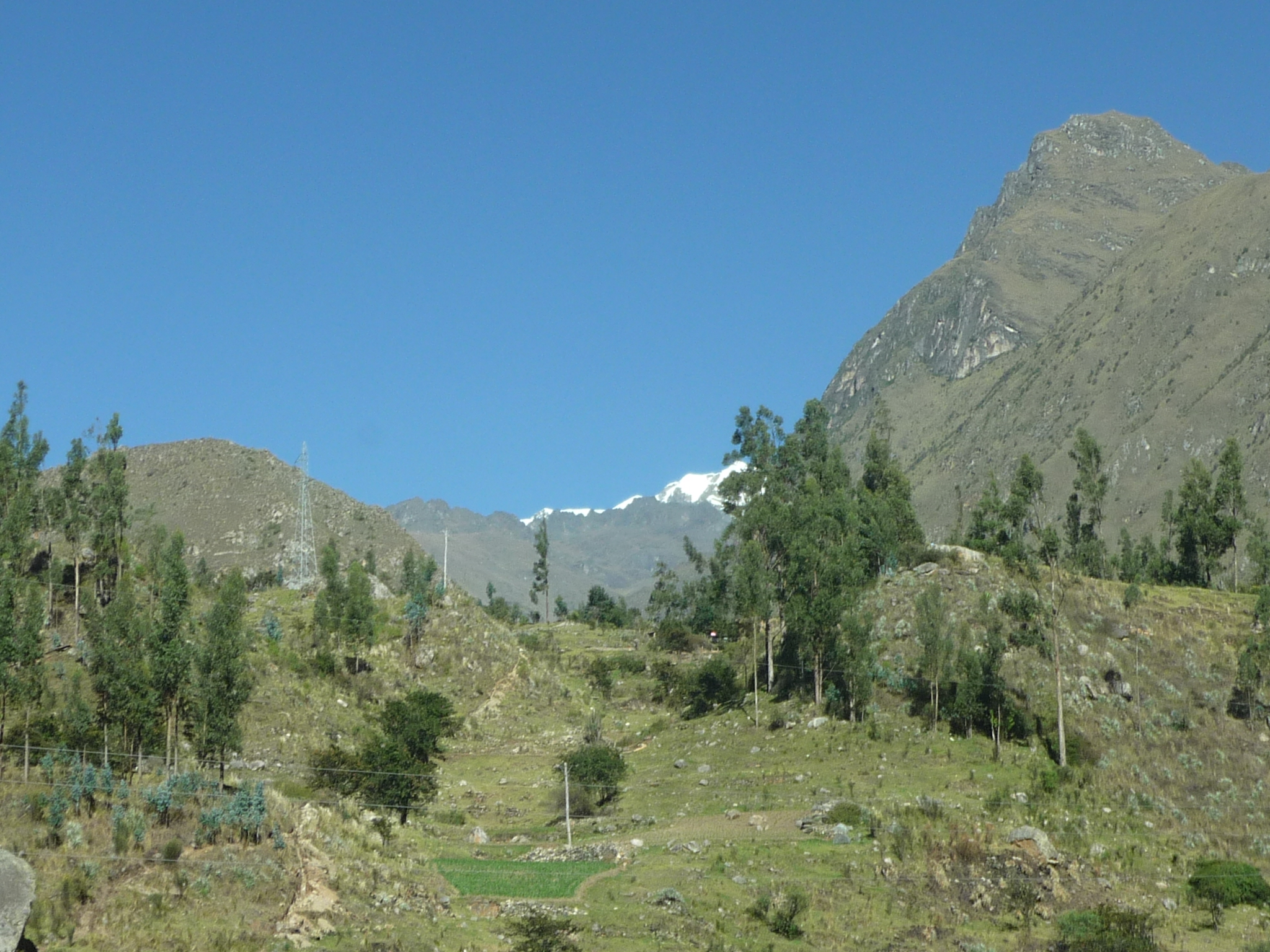
Standing just up from the train station, looking back toward Ollantaytambo. I love the beautiful mountains.
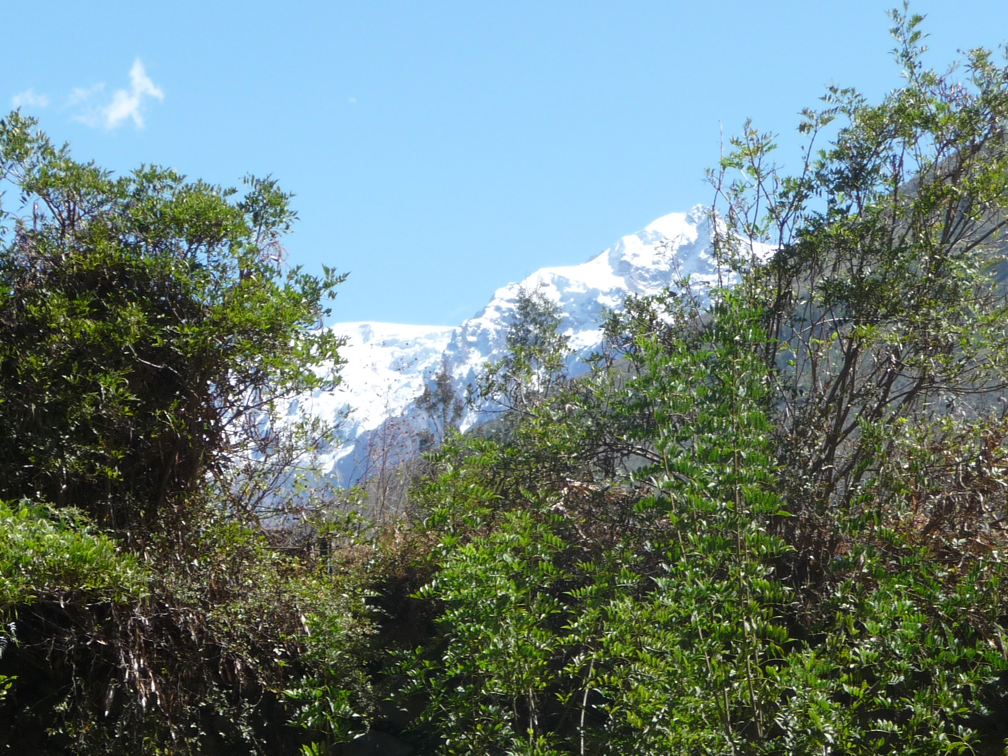
Because of our proximity to the equator, you don’t really see much snow on mountains around here, unless they are at least 14,000 feet tall (or 4200 meters).
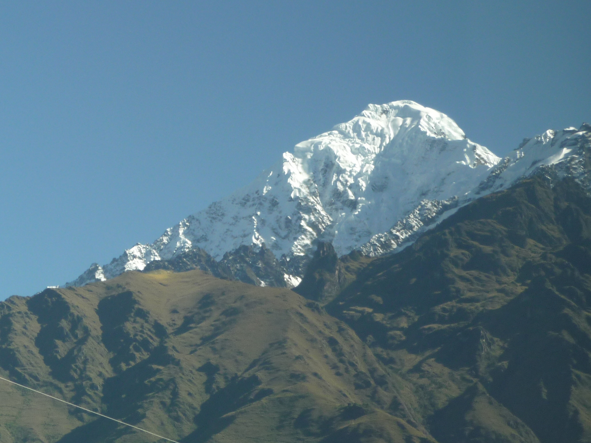
I saw these mountains in the distance, and zoomed in fully to get this photo. I don’t have a map to show me, but these mountains are very tall.
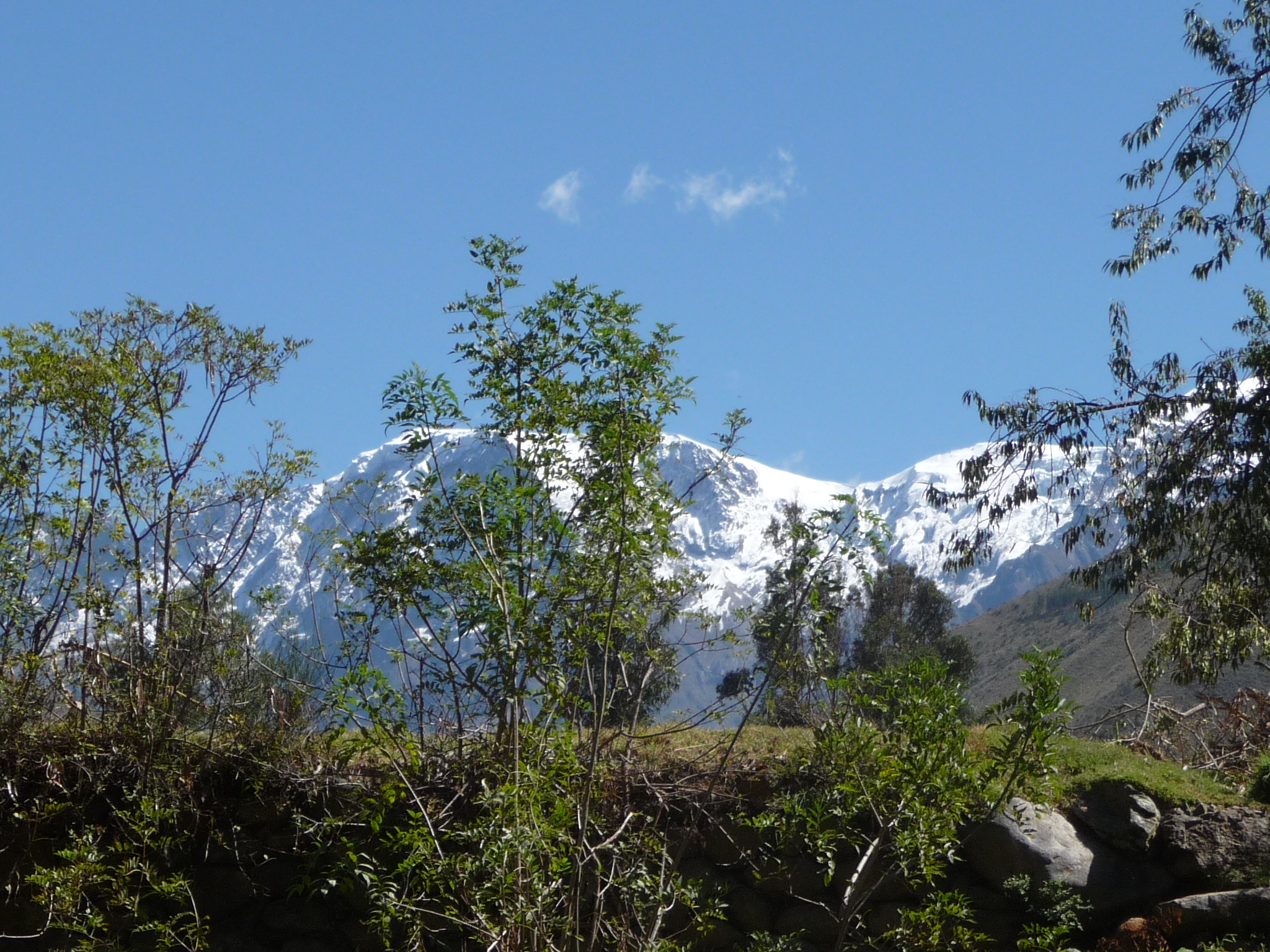
More snow covered mountains in the far distance.
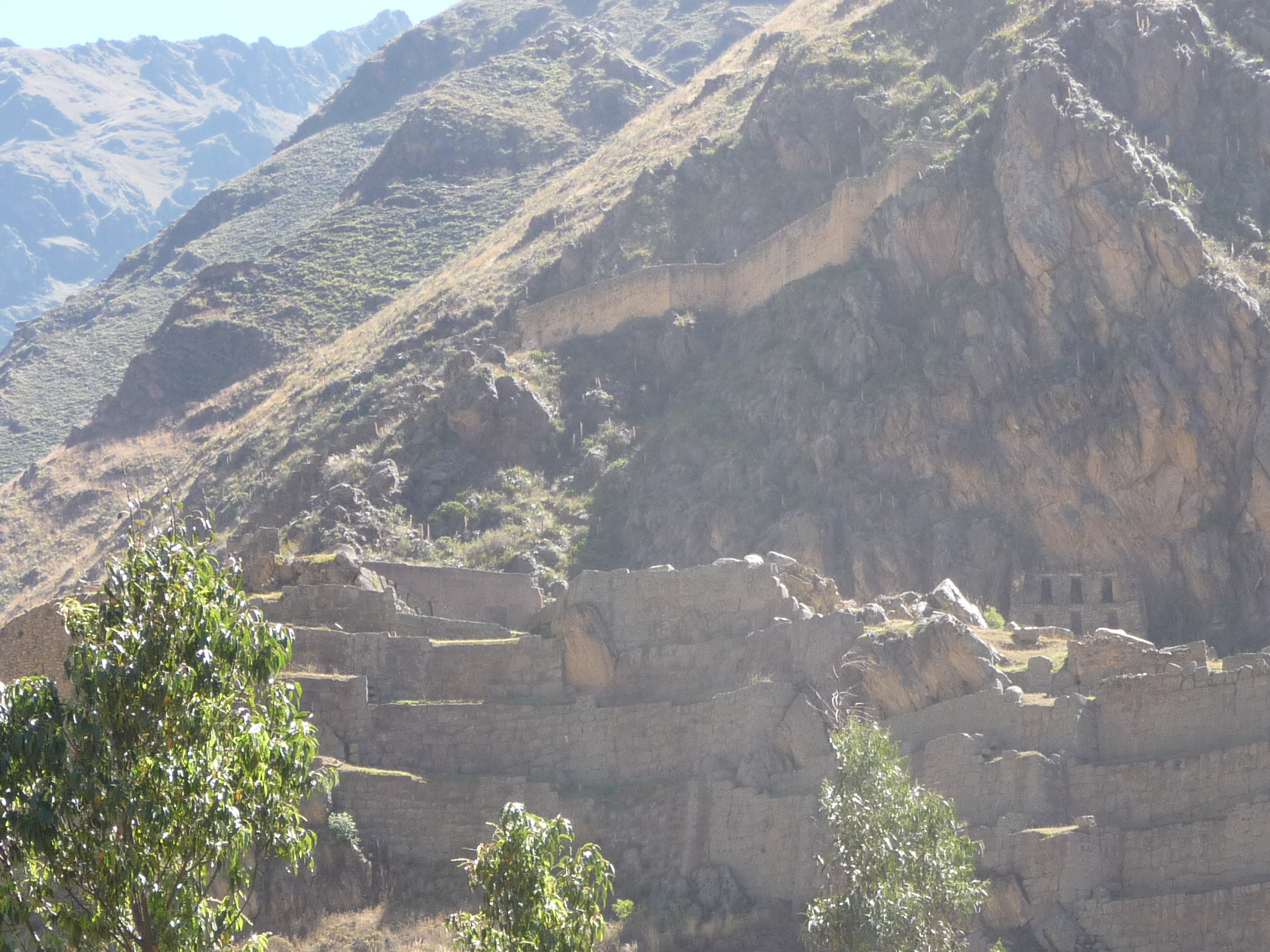
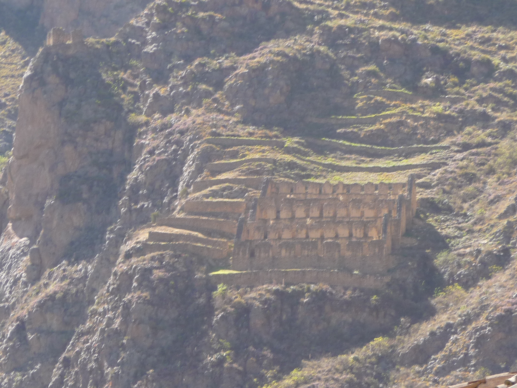
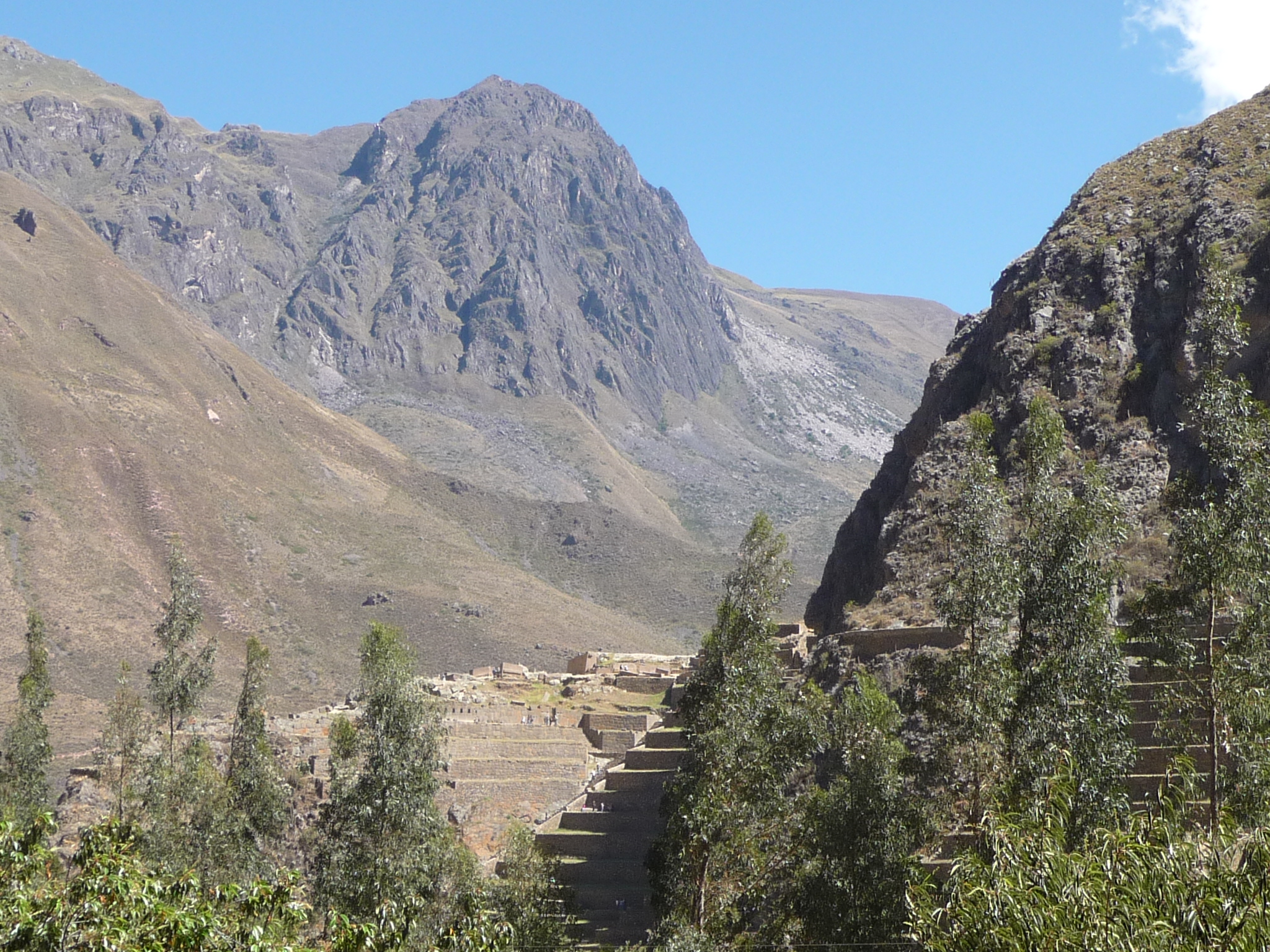
Like most towns in this area, there are Inca ruins nearby. I zoomed in all the way to get this poorly lit image of the local ruins. This is a section near the upper part of the ruins.
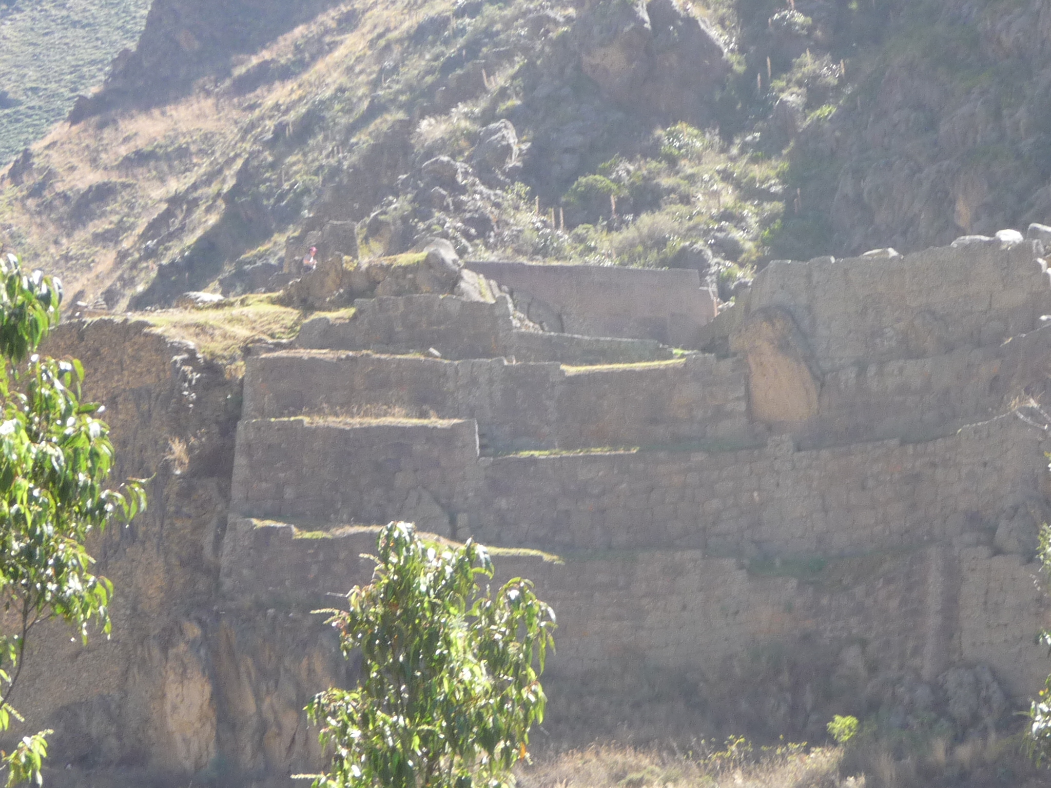
This is another similar view. I did not visit these ruins, because Peru has an interesting way of charging. You are not allowed to pay a smaller admission to visit just a single site. Instead, you must buy a ticket that includes admission to a group of ruins. You can spend $50 US to get admission to all the ruins in the Cusco area, but you only have ten days to use it. You can spend about $26 US to get admission to four ruins in the Sacred Valley, but you only have two days to use it. Because of transportation issues, the only way I could make this work is to take an organized bus tour, and I have not yet chosen to do that.
Today, I decide that I do not want to pay the $26 just to visit this one small site.
These ruins are on a different hill, directly above the town. It looks like you may be able to hike up here for free, but I ran out of time and energy.
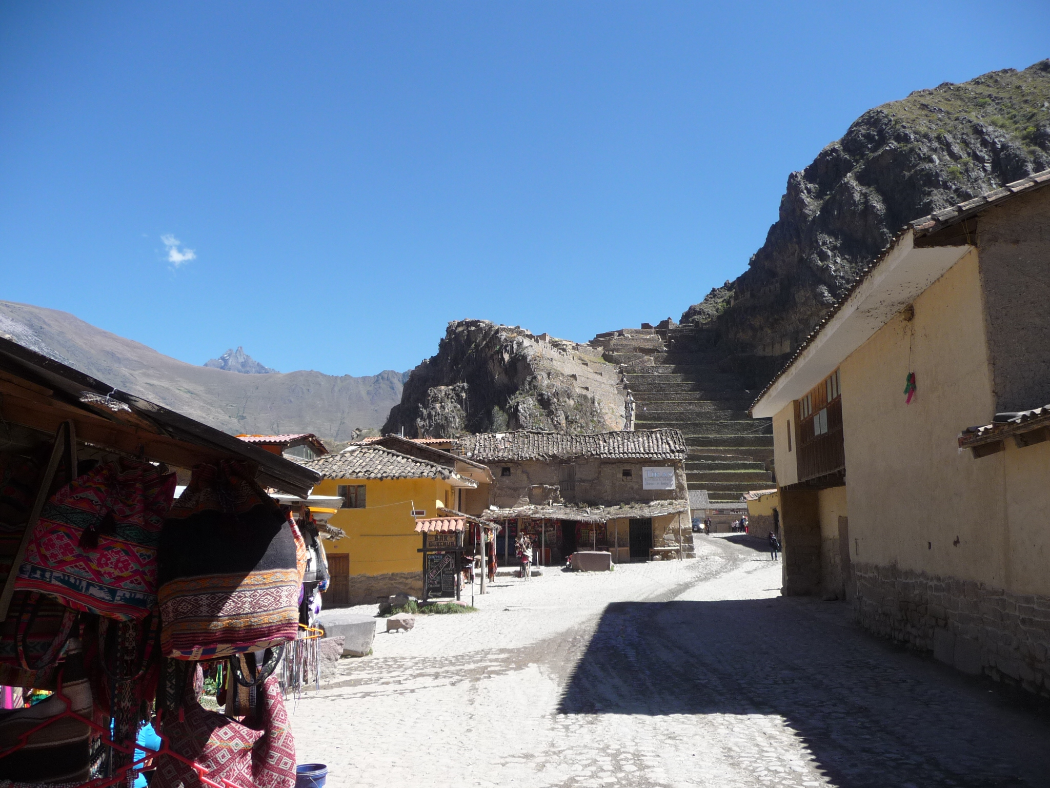
This is taken from very near to my hotel. This is the lower part of the Ollantaytambo ruins. There are lots and lots of terraces to climb.
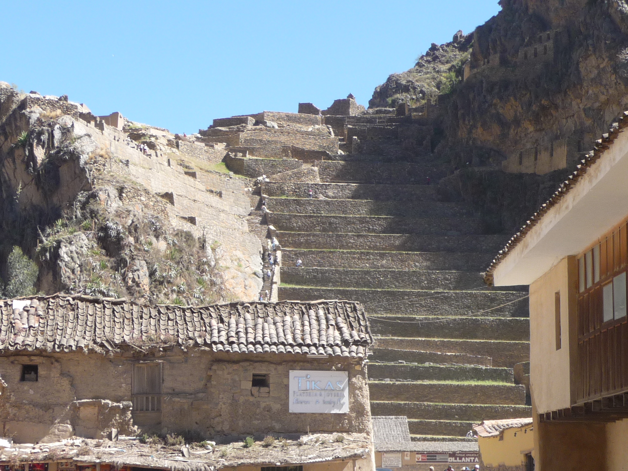
A similar photo, taken with a zoom.
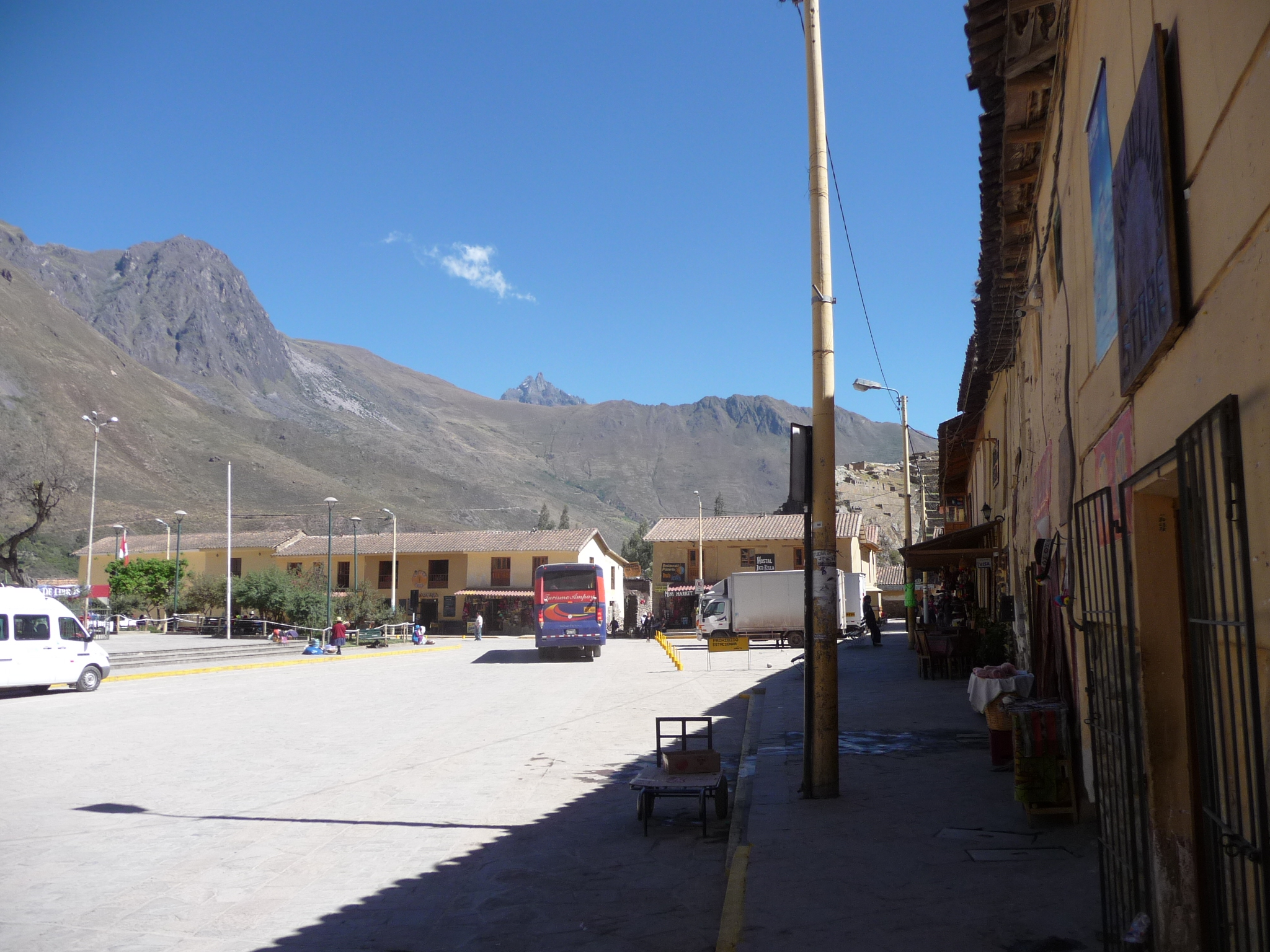
One side of the town square (Plaza de Armas) in Ollantaytambo.
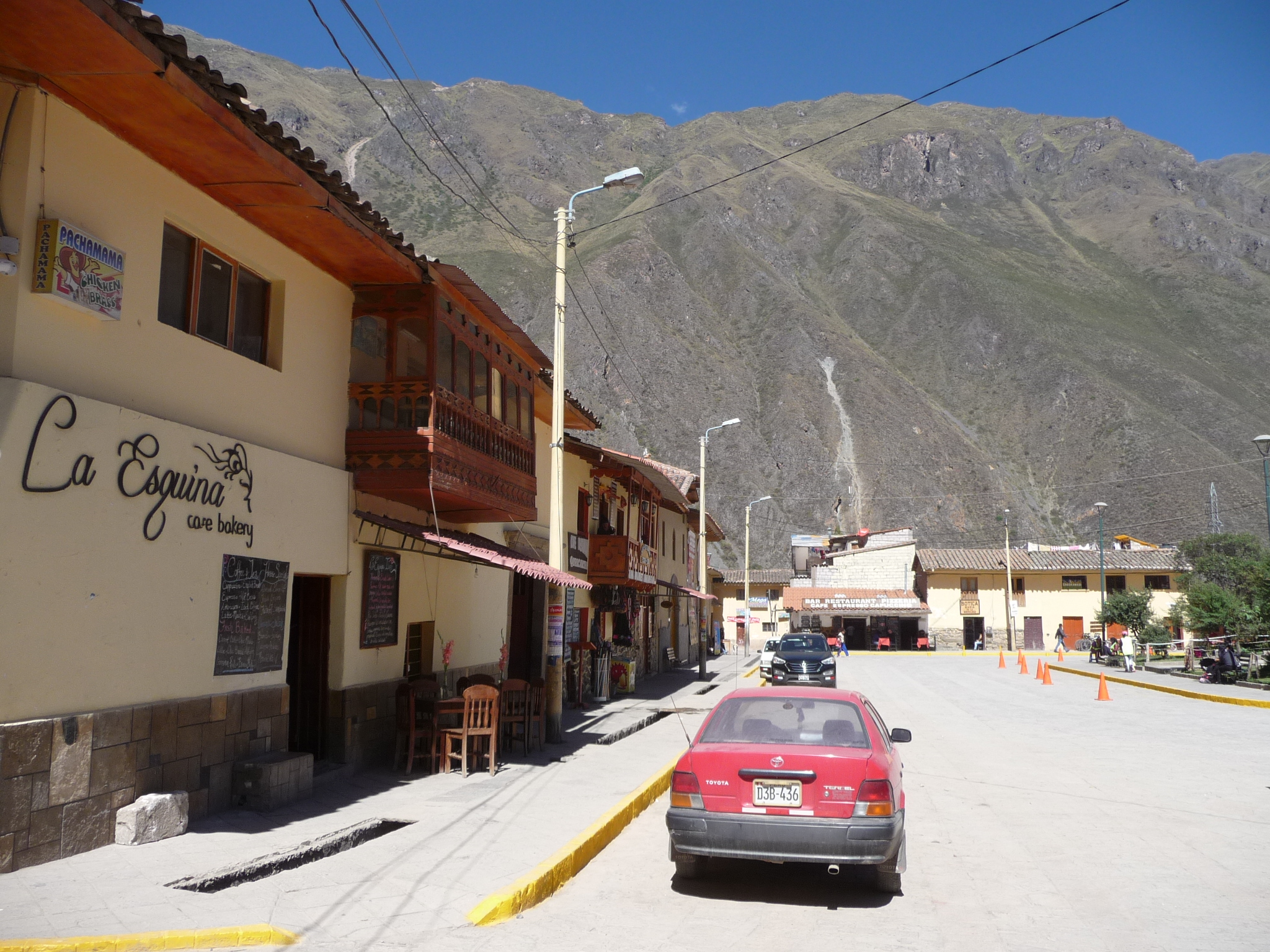
Another side of the Plaza de Armas.
Looking down one of the main streets. This is the street that leads from Ollantaytambo back to the highway and Urubamba.
Further down that same street.
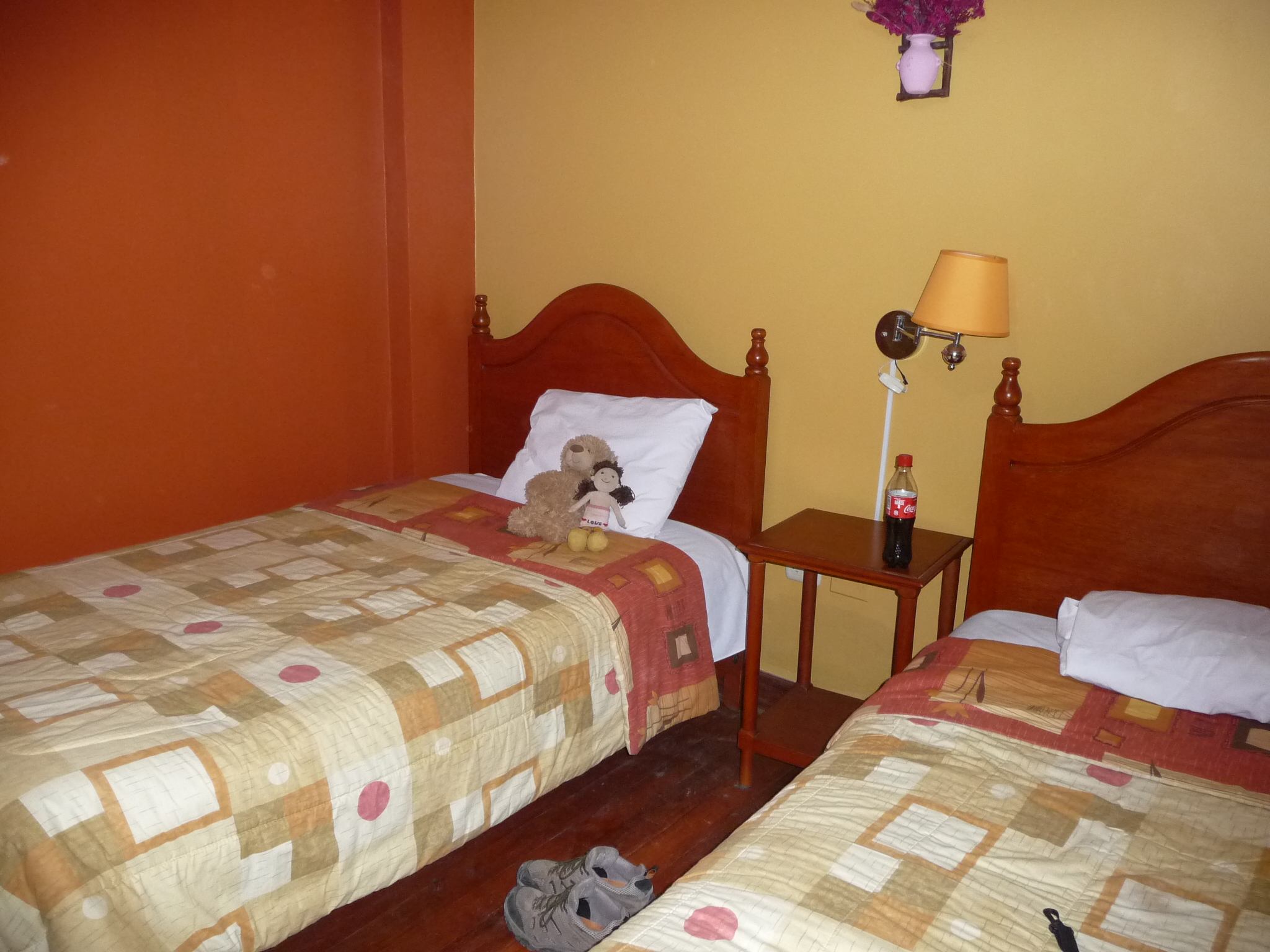
Inside my small hotel room. Bobby-bear and Brenda-doll have already chosen their bed.
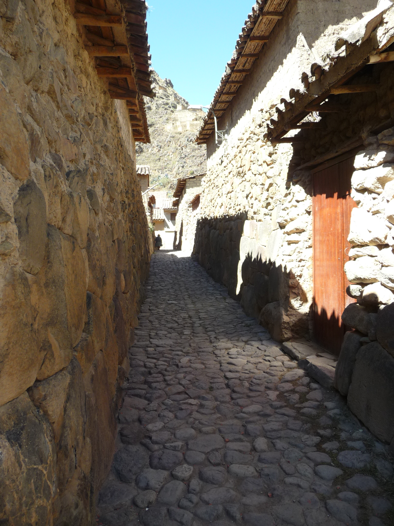
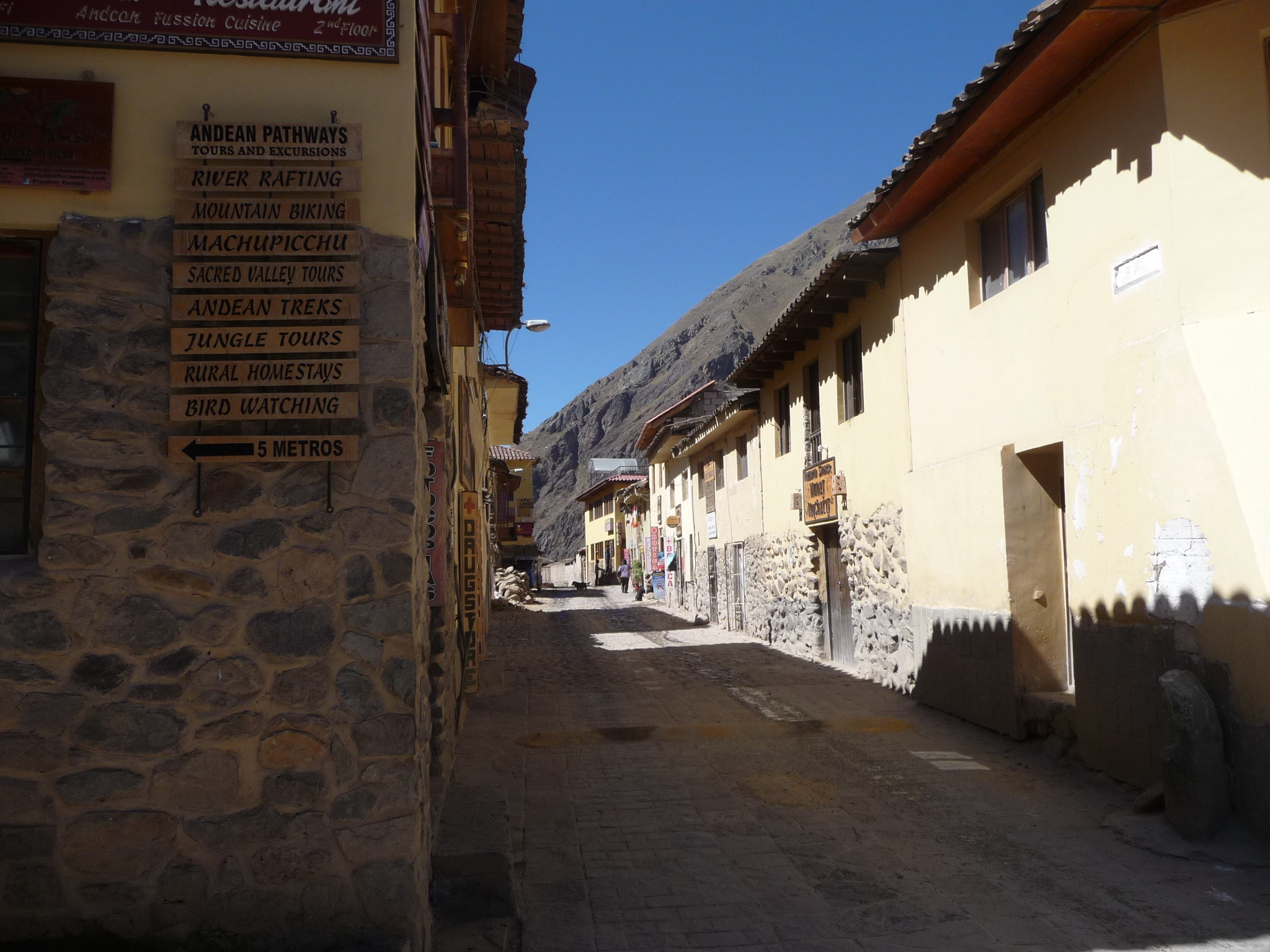
Later in the afternoon, I took a walk up the canyon. This is one of the tiny and narrow streets in the upper part of town.
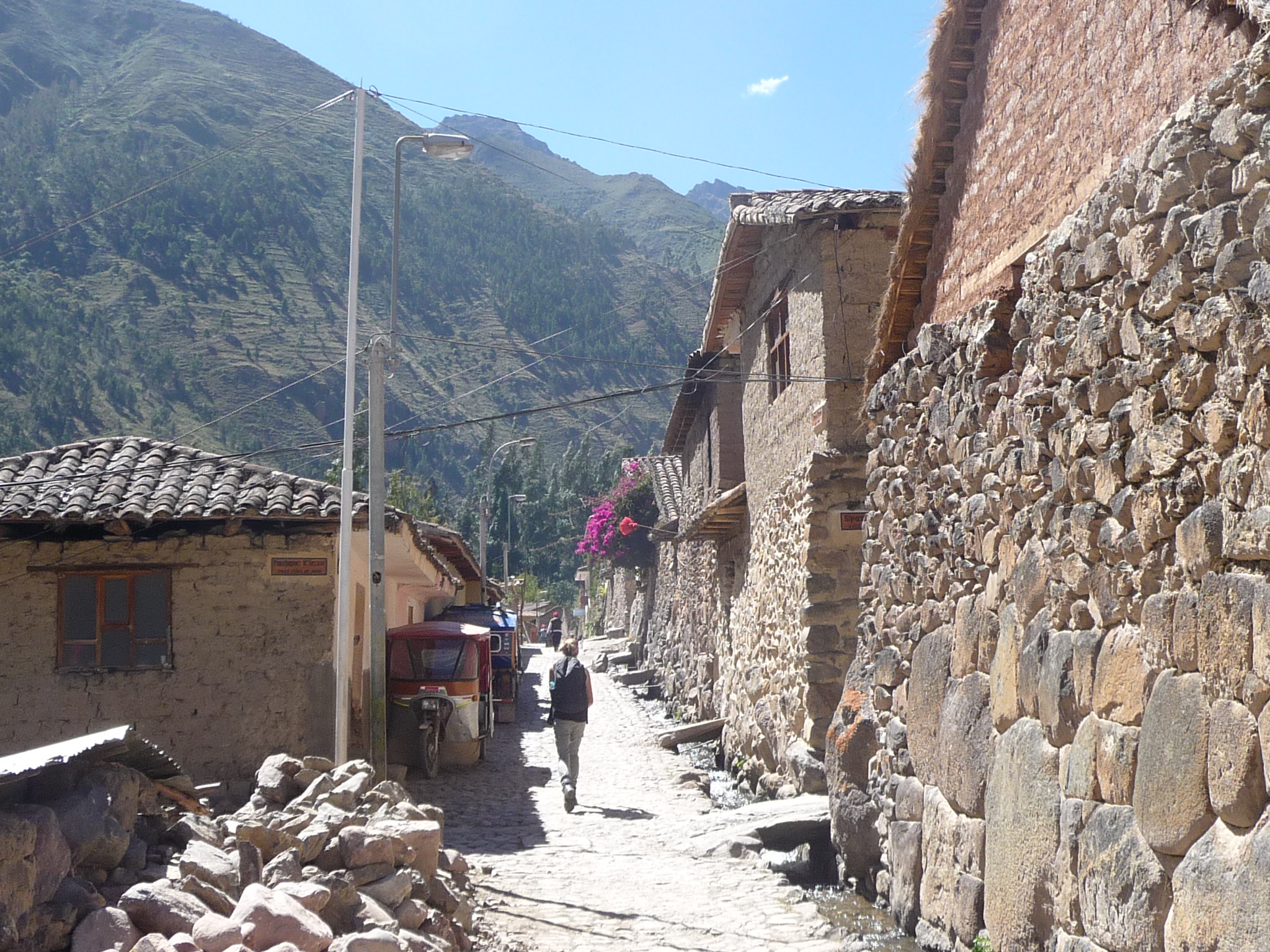
Continuing up toward the canyon. This is a cute little town, mostly filled with local indigenous people. But it is also a huge tourist town, in that all of the trains to Machu Picchu pass through here, and many people choose to spend the night here – including those who plan to hike the Inca Trail. The beginning of that famous trek is just a short distance upriver from here.
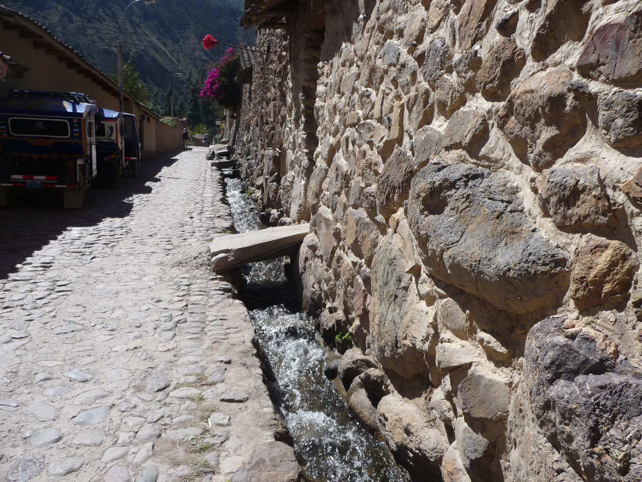
I took this photo to show how a variety of irrigation ditches run right through the town. This one is quite full of water. I like the little bridge that leads into someone’s home.
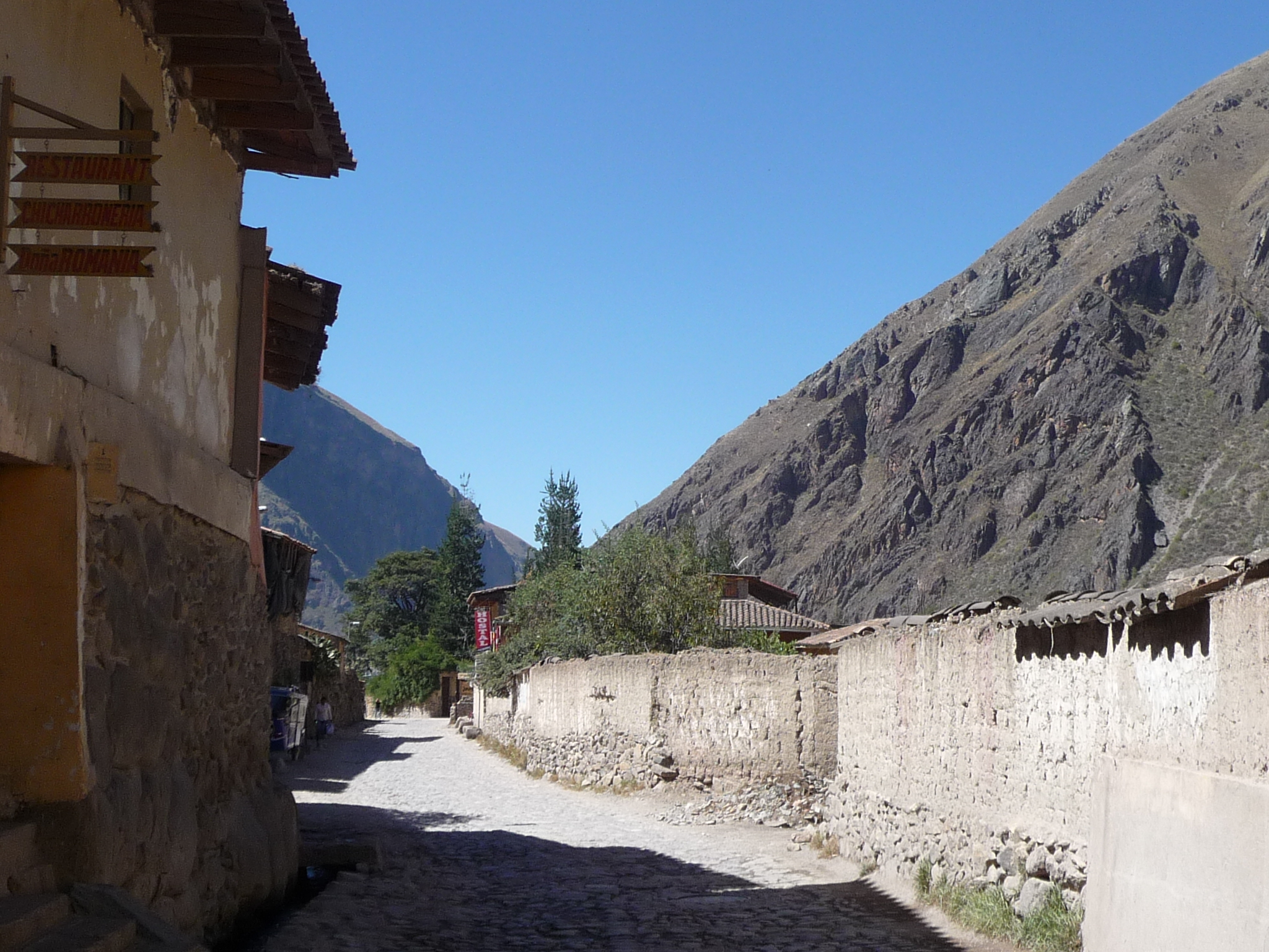
Taken from the upper part of town, looking back down toward the ruins (lower left).
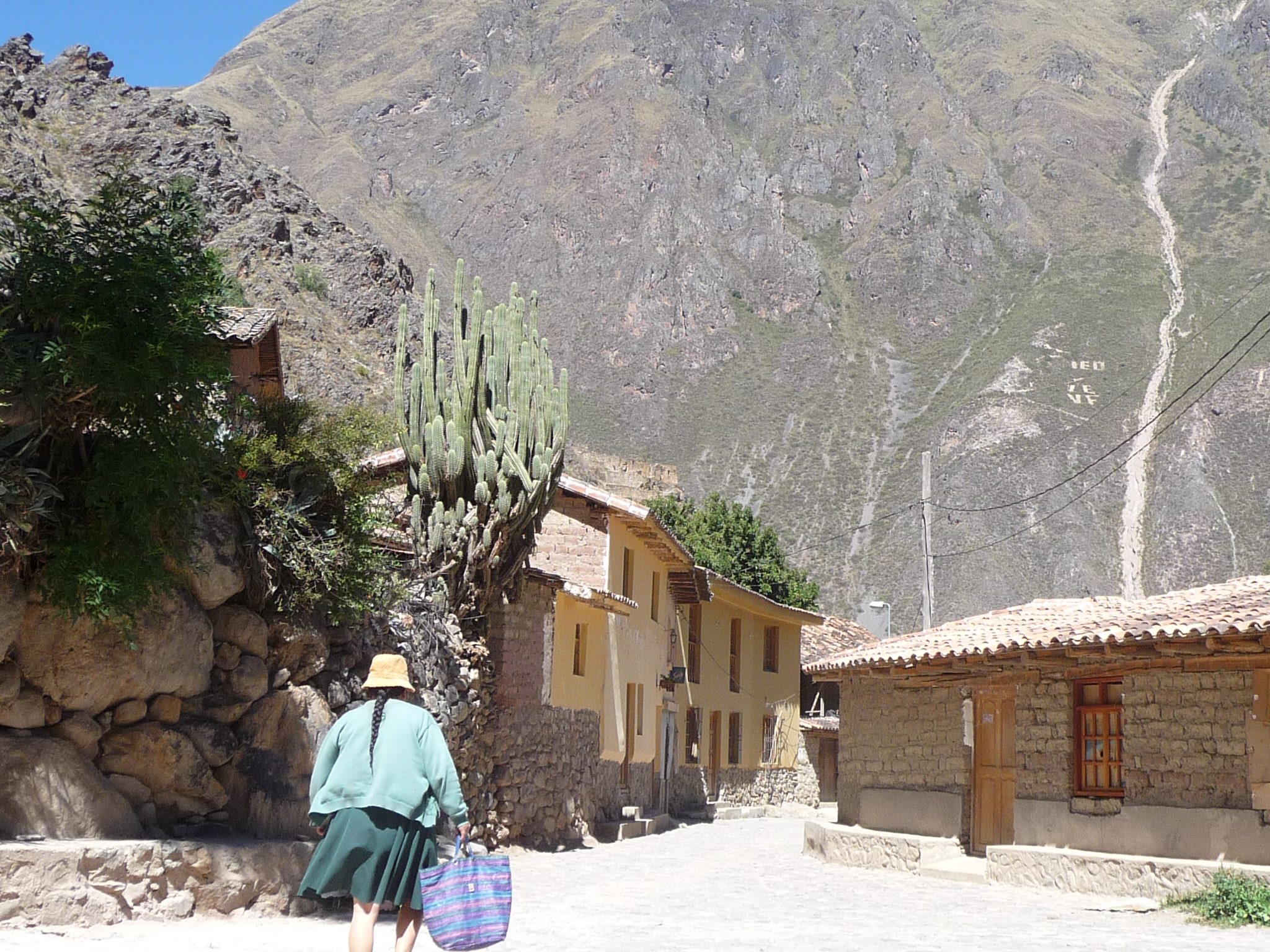
A local woman walking up the street.
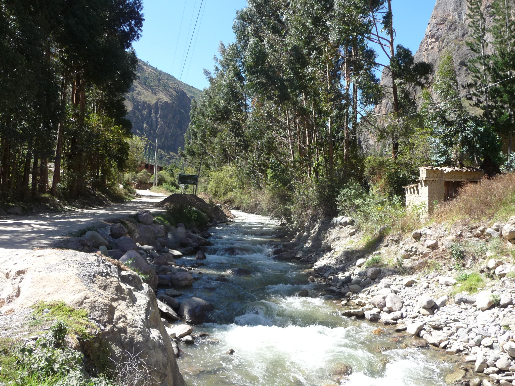
I do not go far, but once I leave the main part of town, I enjoy this beautiful river.
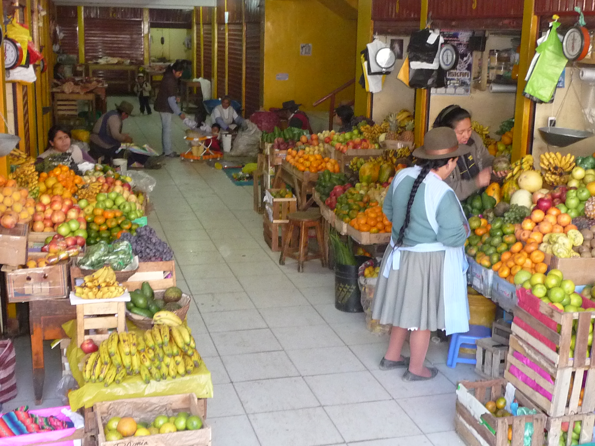
Soon, after returning to town, I find myself inside the tiny local market.
A Beautiful Train Ride
I am traveling extremely light, with only a small daypack – a simple change of clothes, some water, a camera, several snacks, and my companions (Bobby and Brenda).
Early on Saturday morning, I put everything back into my little daypack and leave my hotel at 7:00 a.m..
After waiting for the restaurant next door to open (advertises a 7:00 a.m. open, but didn’t open till 7:20 a.m.), I gobble down a simple breakfast and walk back down the the train station.
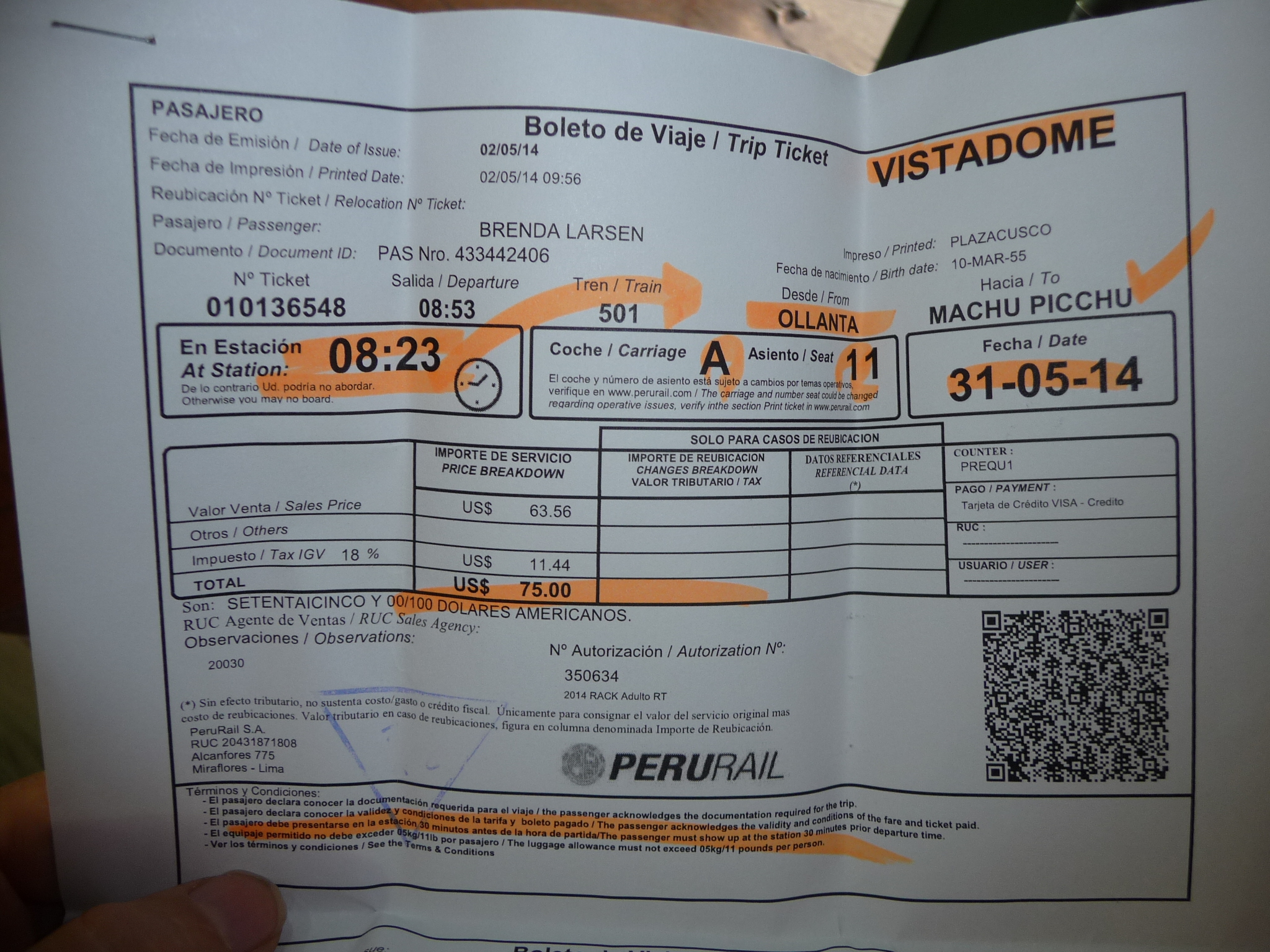
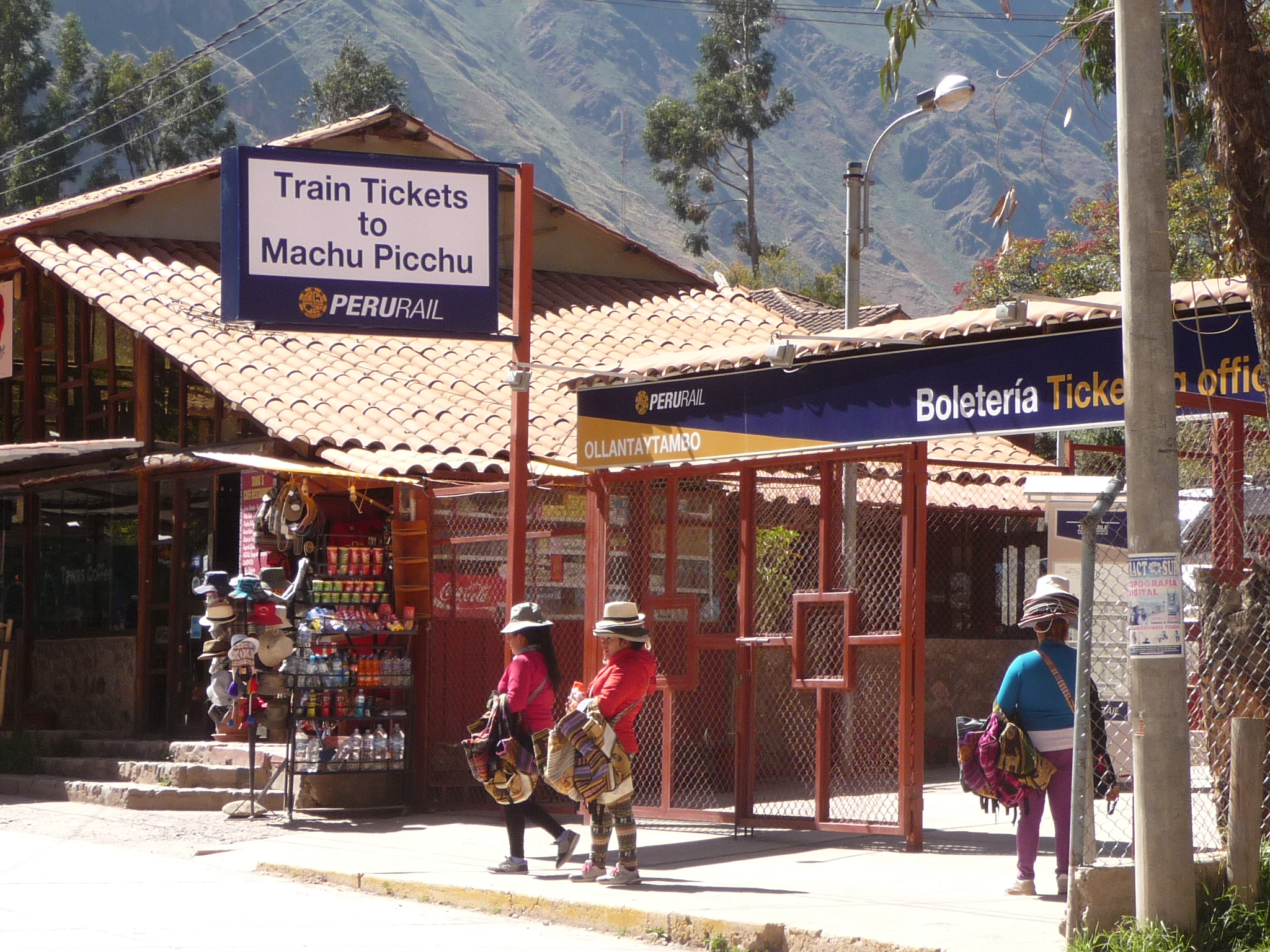
This is my train ticket (purchased in Cusco, nearly a month ago). I am supposed to be in the station by 8:23, and my train leaves at 8:53 a.m.. I have lots of time, and end up having to wait.
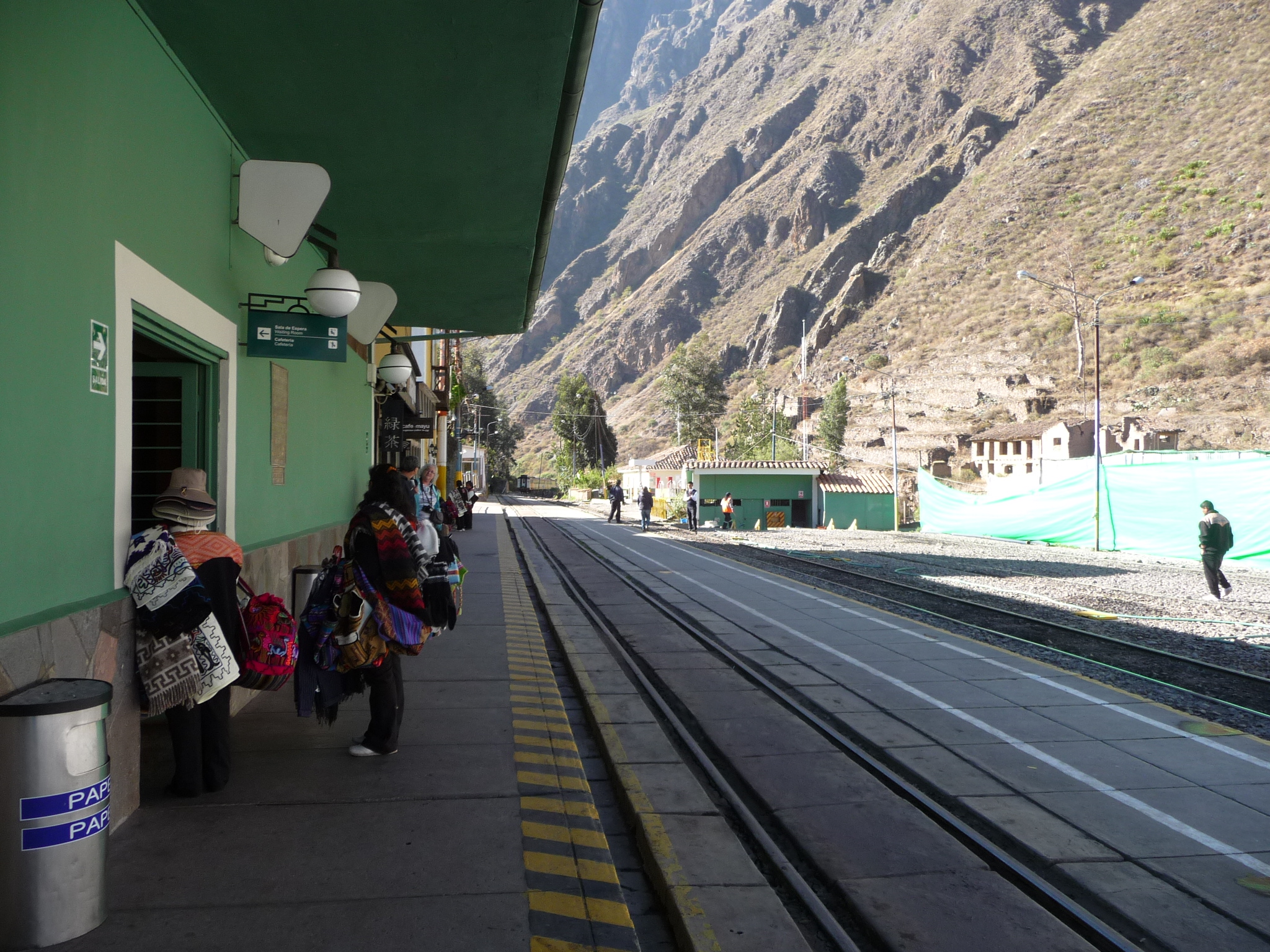
Taken next to the train station. Looking straight ahead, the tracks lead toward Cusco.
There are many more vendors trying to sell things right here (two are visible on the left).
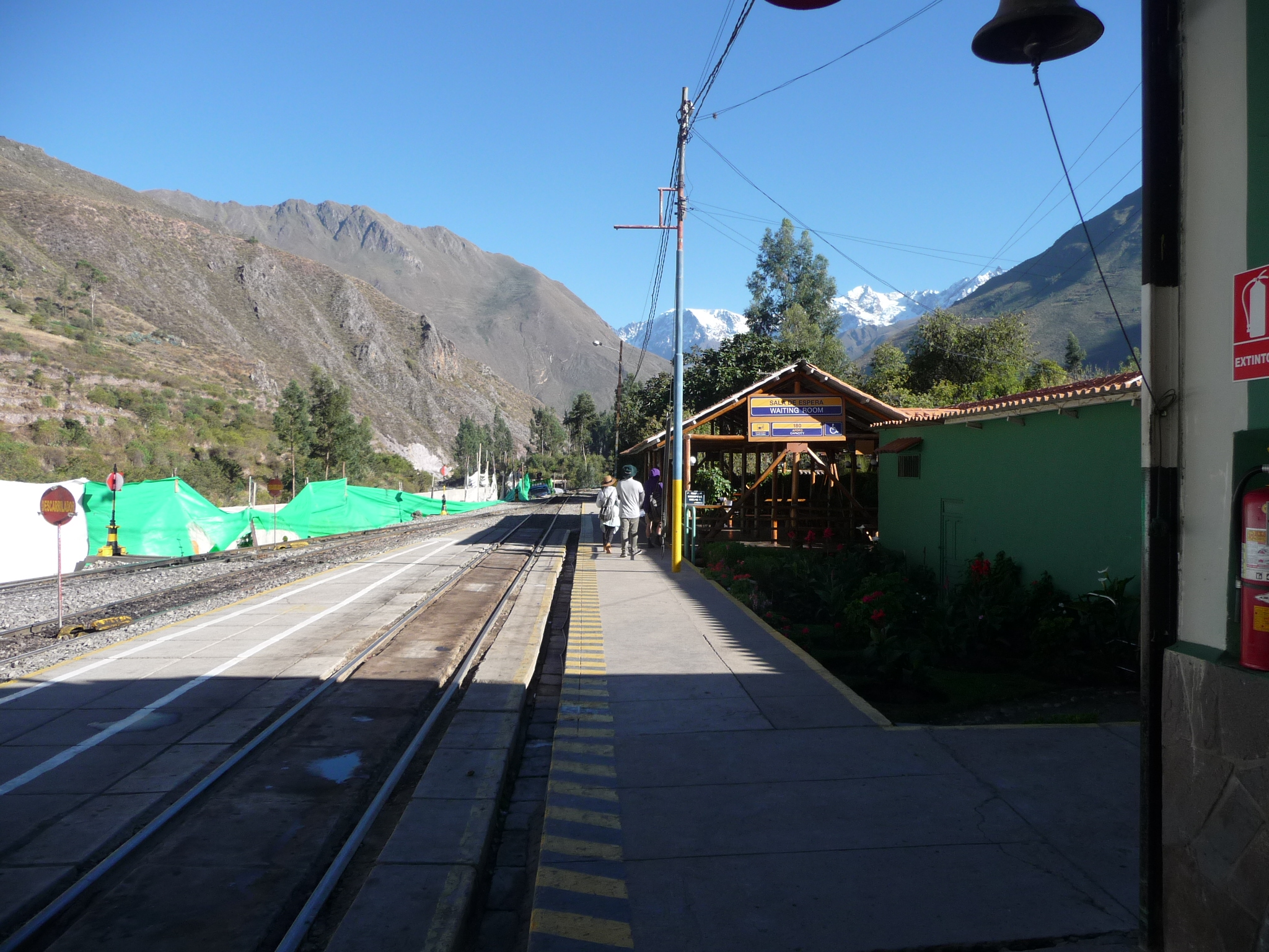
Looking in the other direction, toward Aguas Calientes (where I am going).
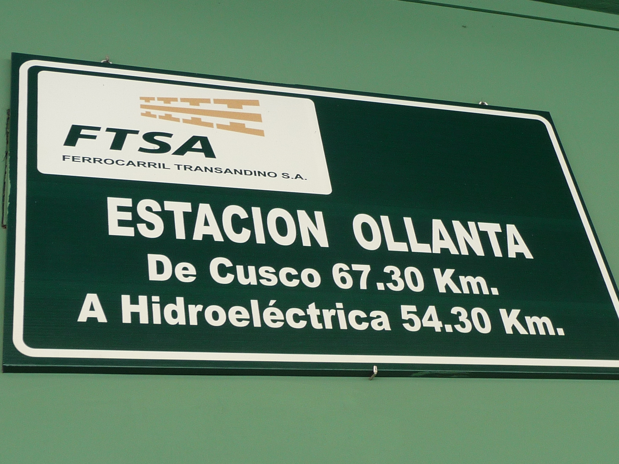
A sign inside the station. It looks like it is acceptable to abbreviate Ollantaytambo to simply “Ollanta”.
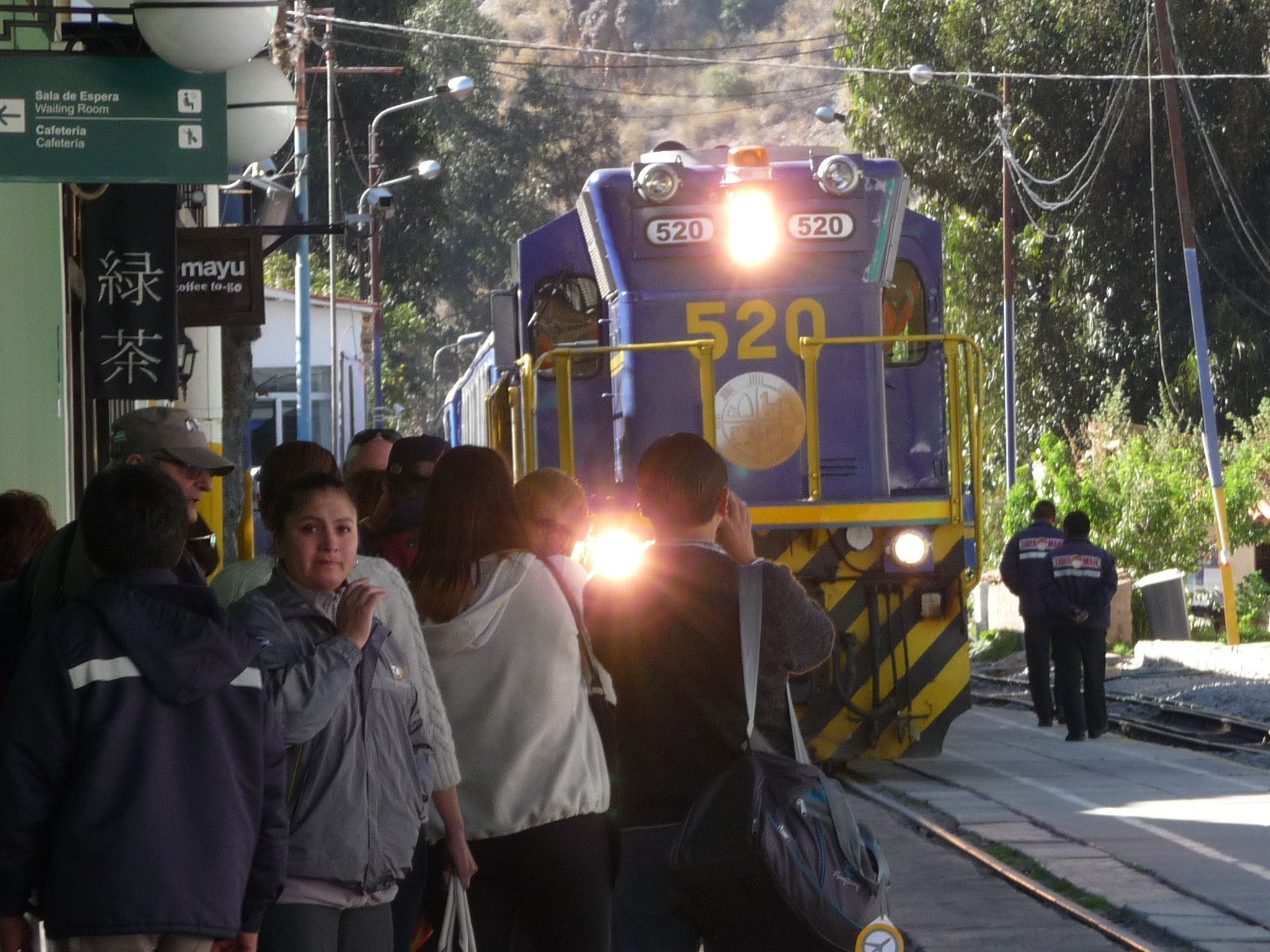
This is not my train. It is one that arrived about twenty minutes earlier.
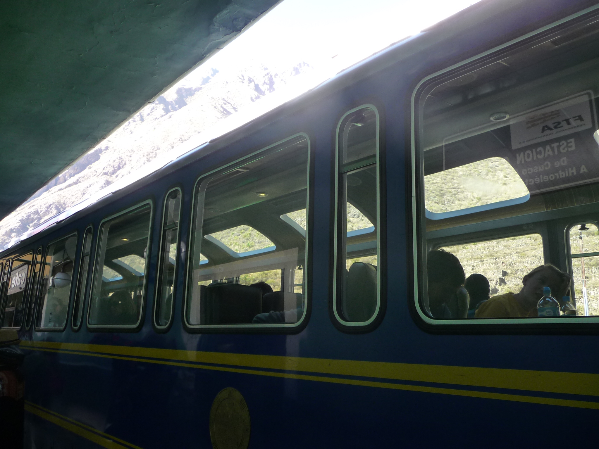
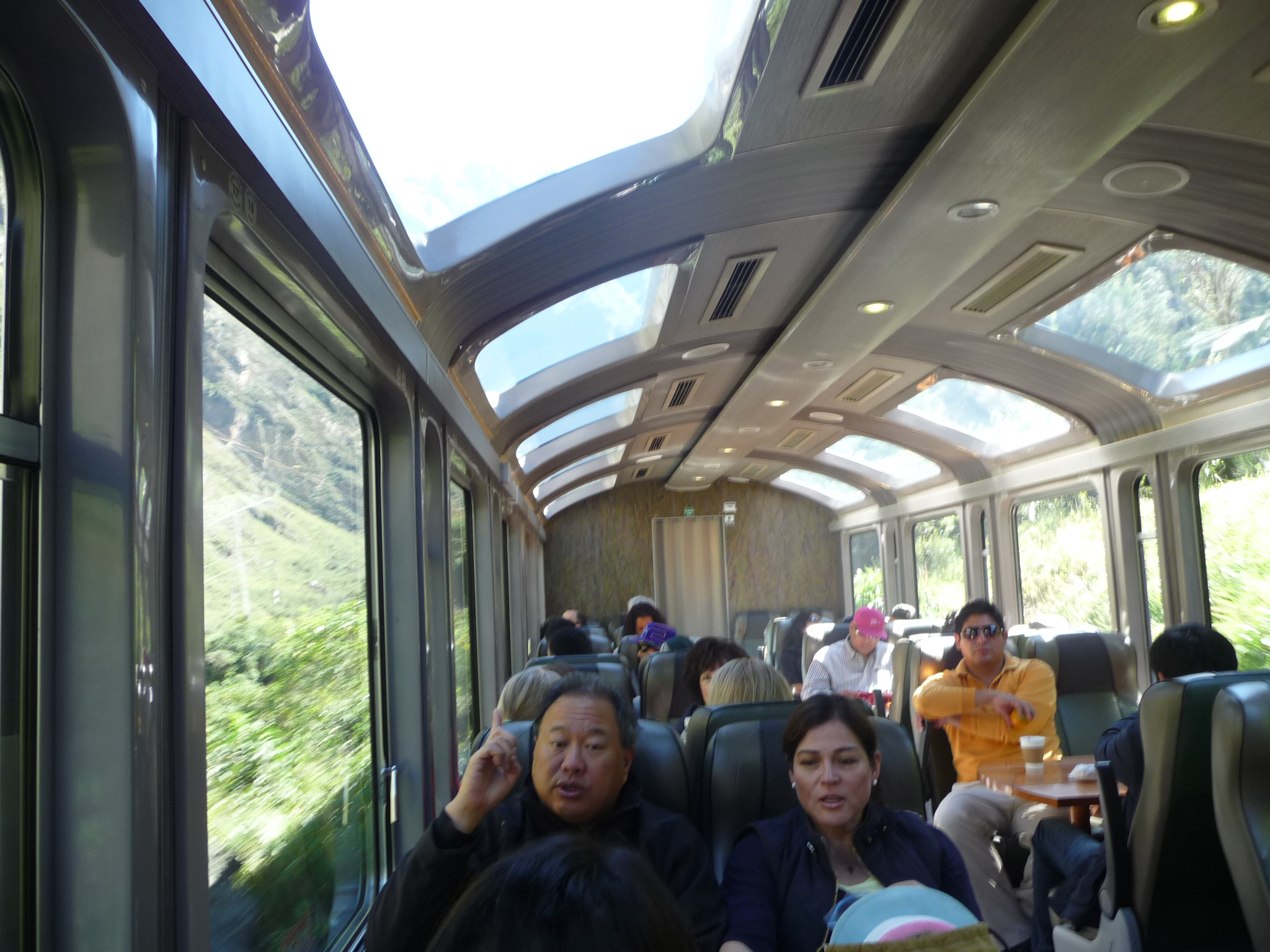
While this is not my actual car on my train, this is quite similar. There are lots of windows on the “Vistadome” trains, both on the sides and on the top. I paid a little extra so as to have great views during the travel.
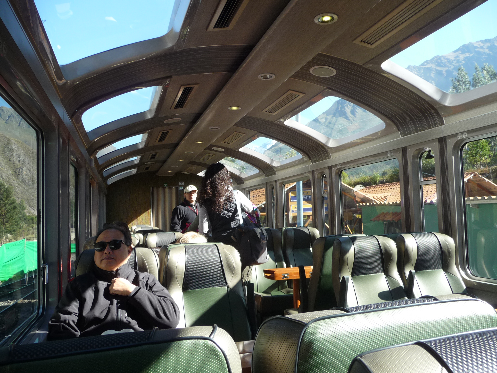
This is inside of my train car, and shows the window layout much more effectively. I had to sit with my back toward the front. I am traveling alone, and was assigned a seat on a single row. Most travelers sit in sections designed for groups, with four people sitting around a table, two on either side.
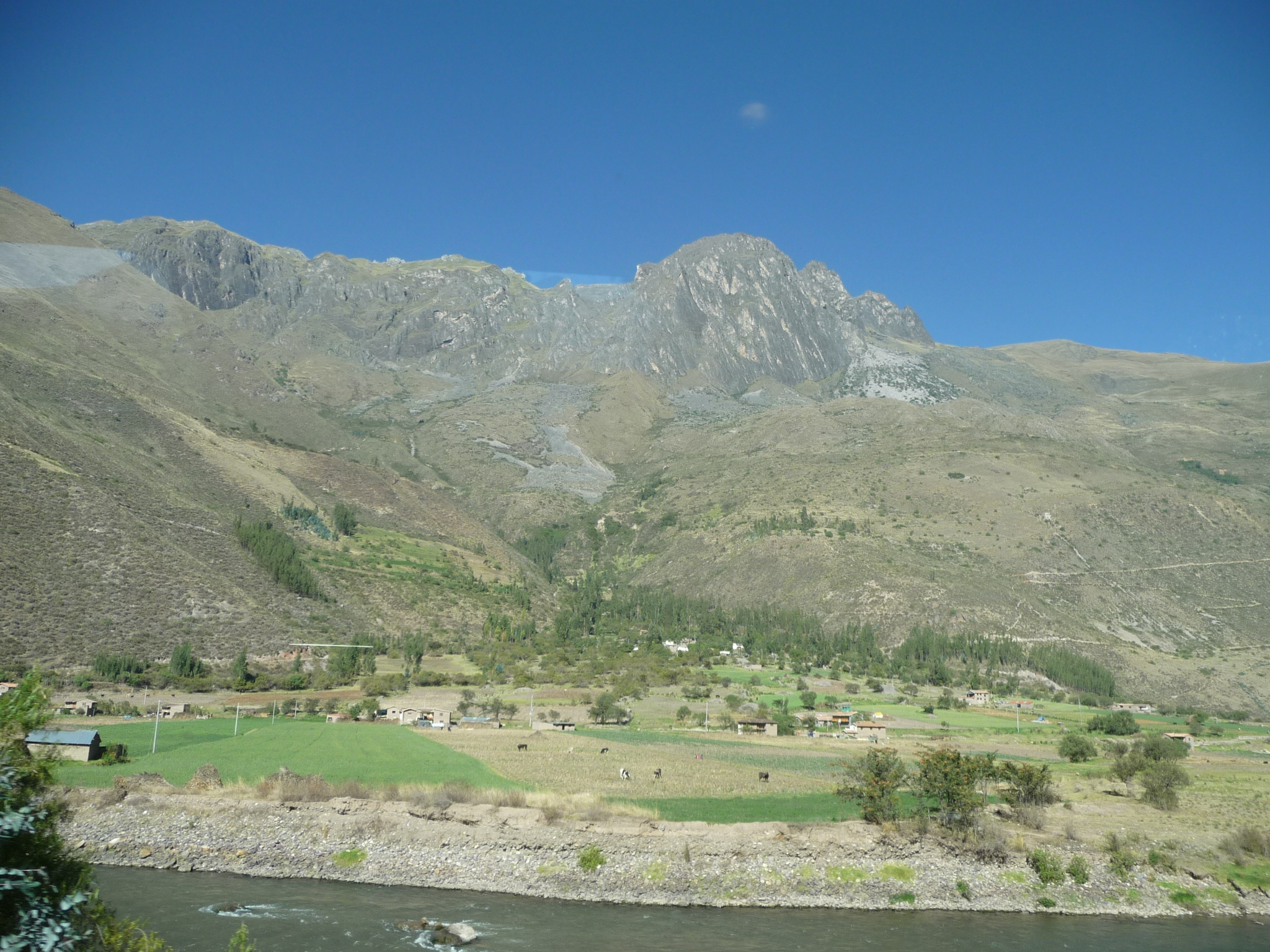
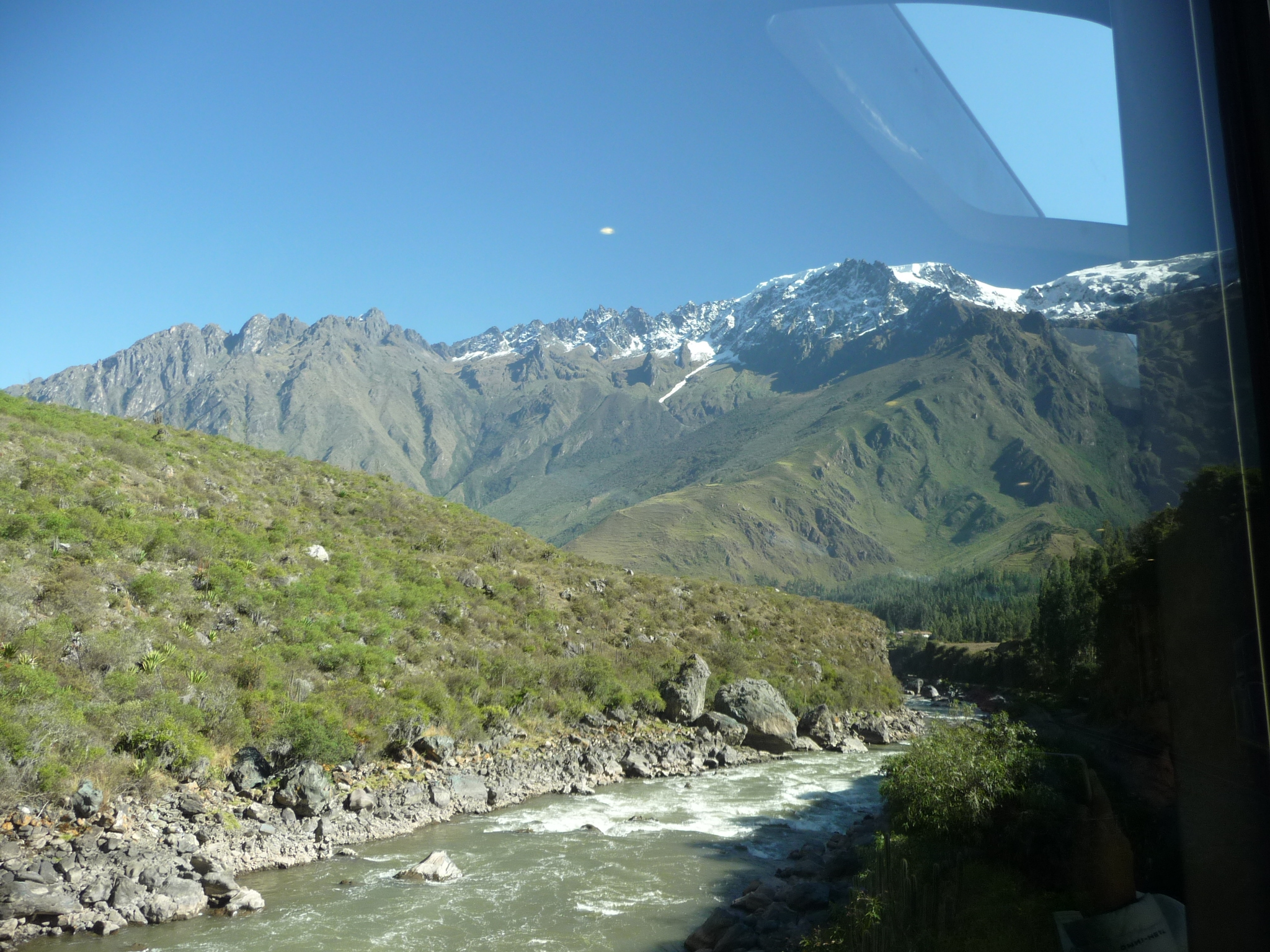
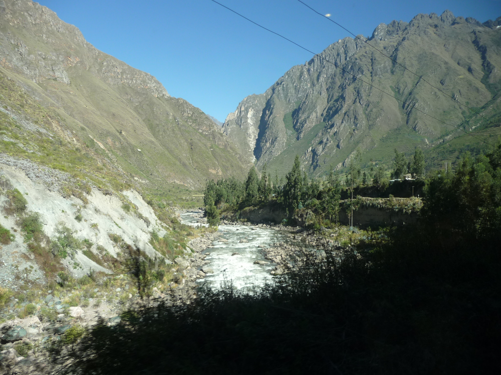
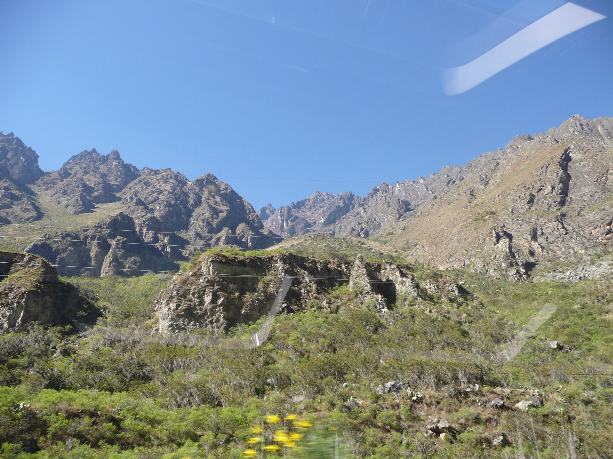
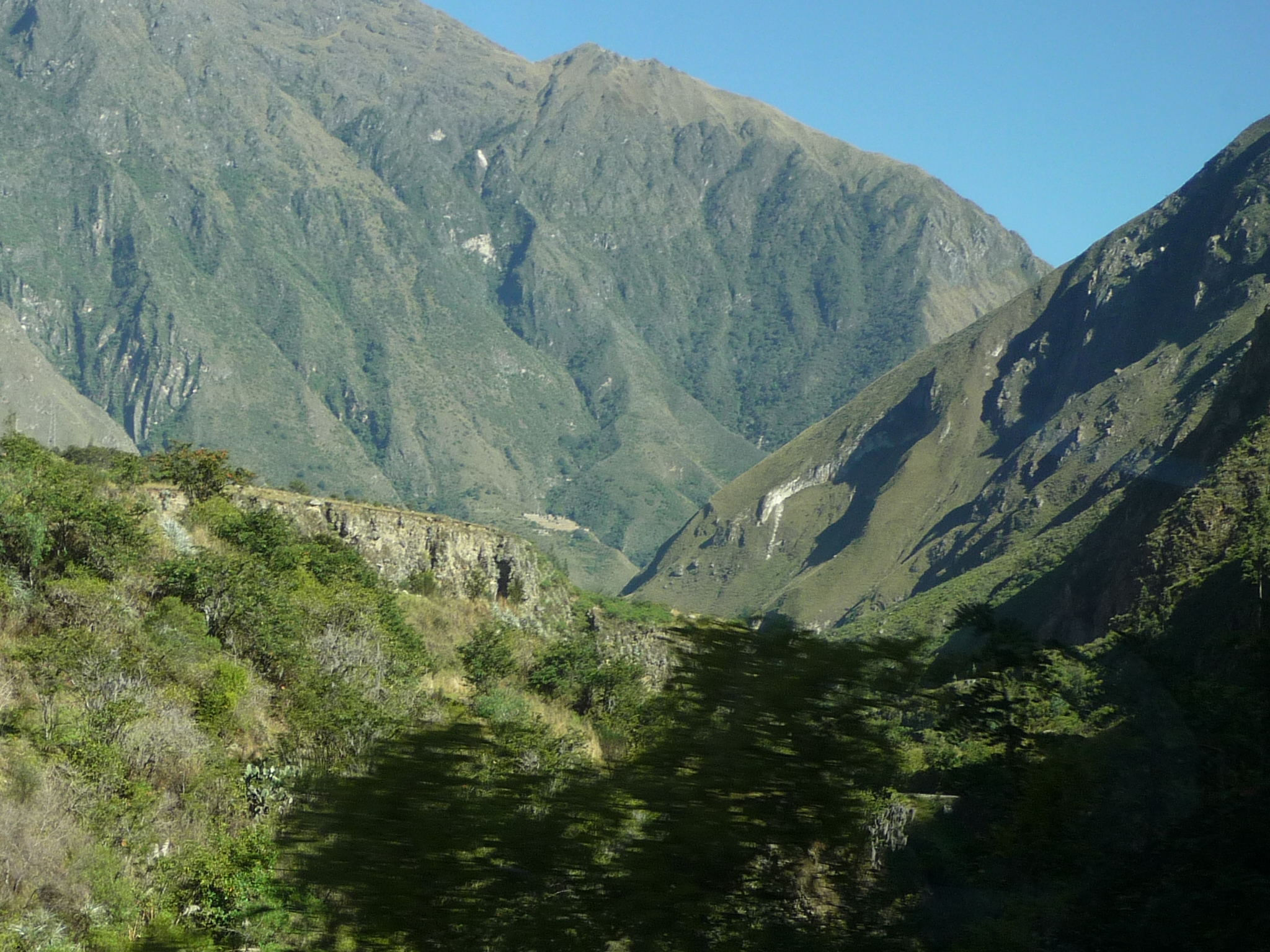
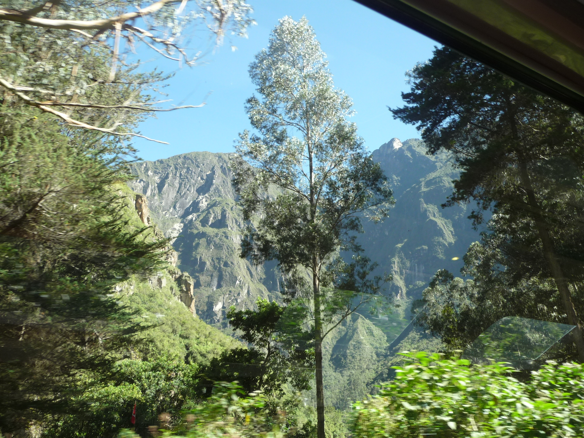
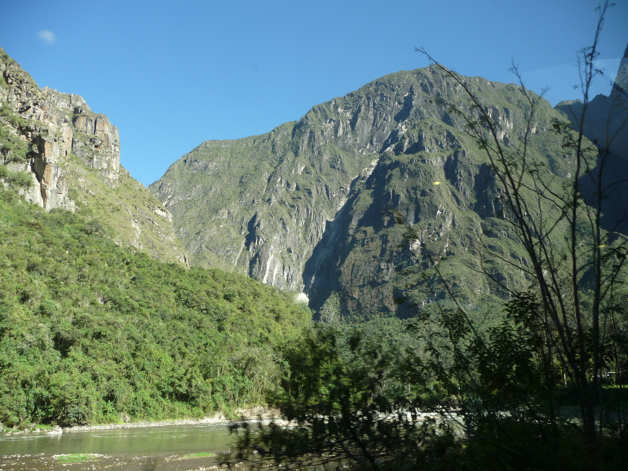
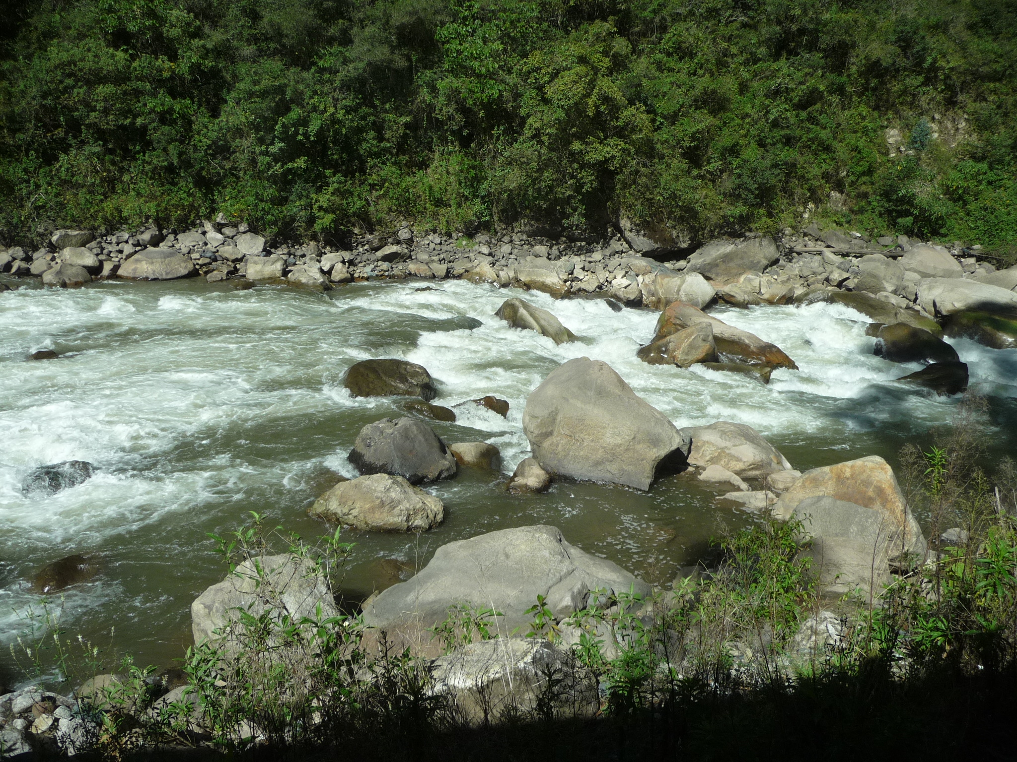
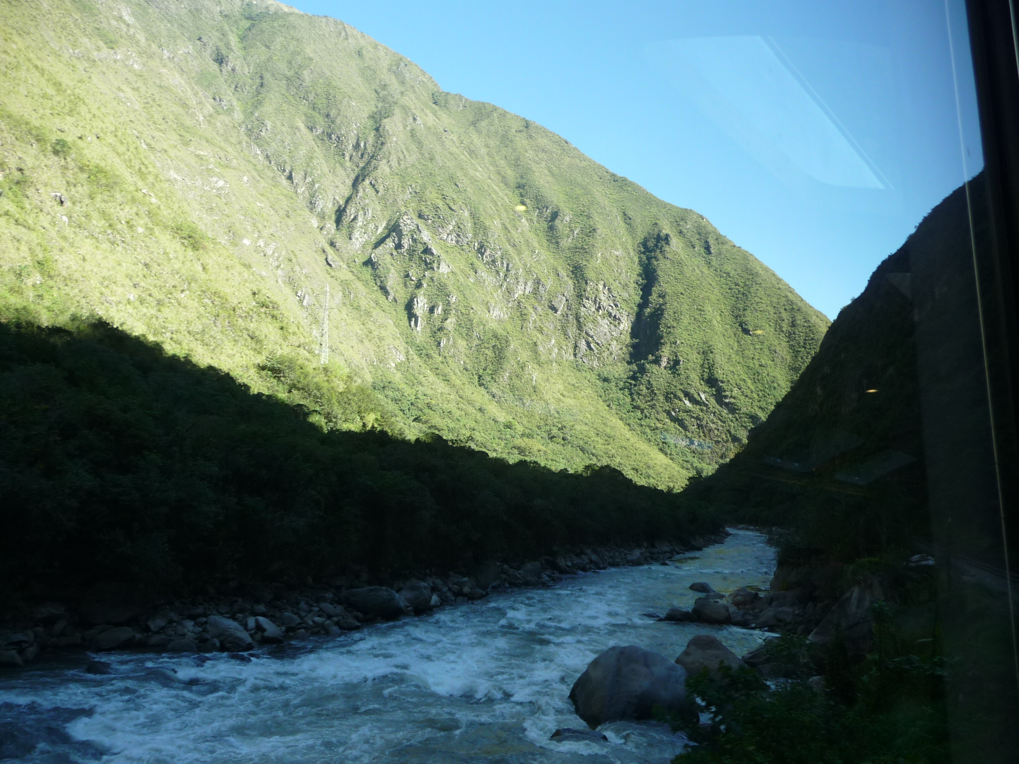
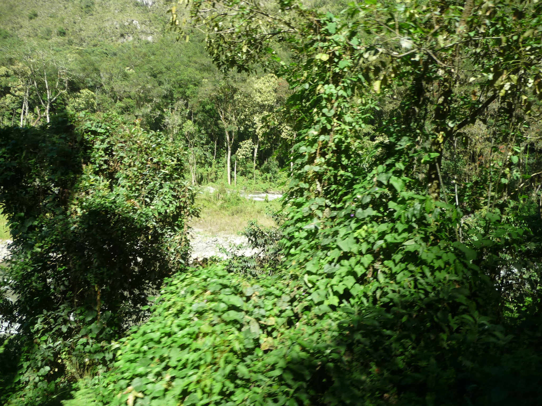
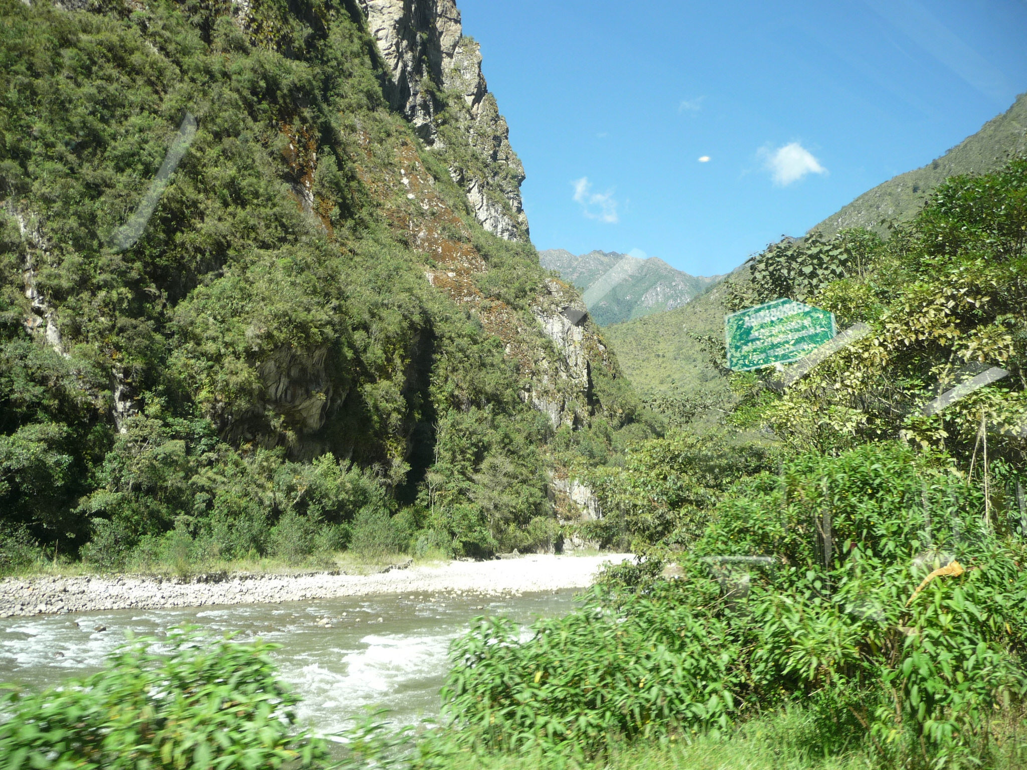
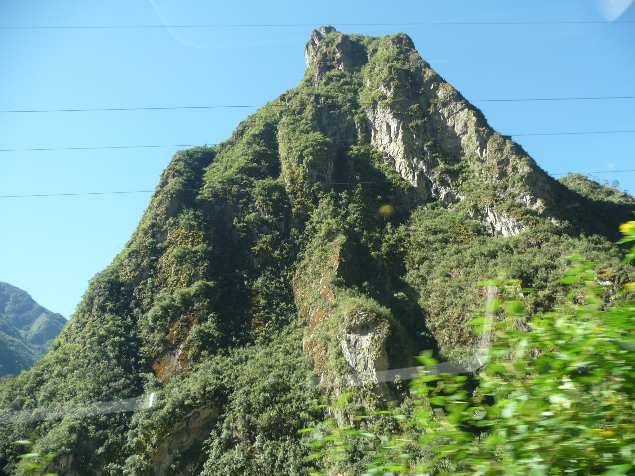
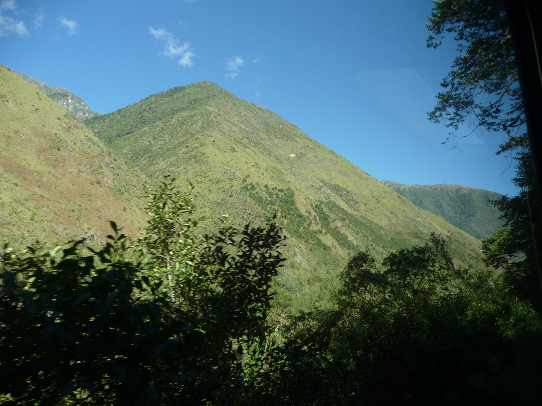
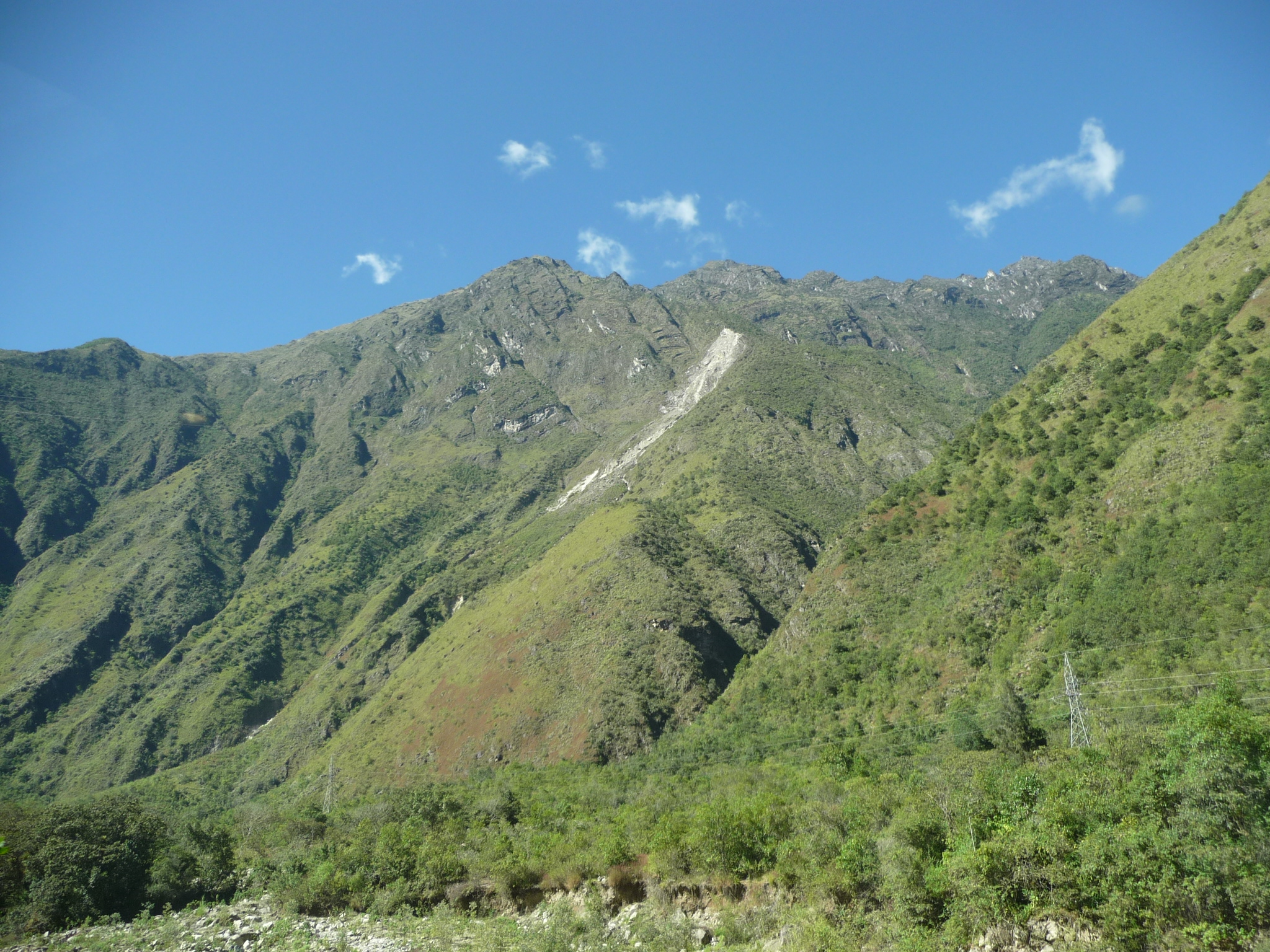
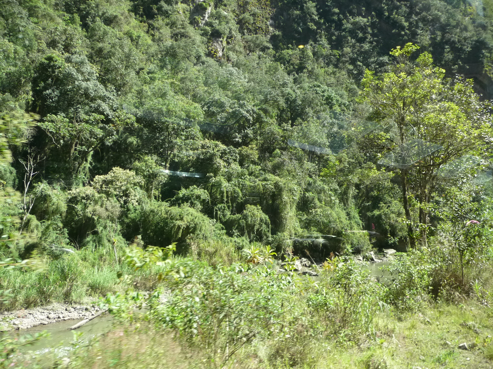
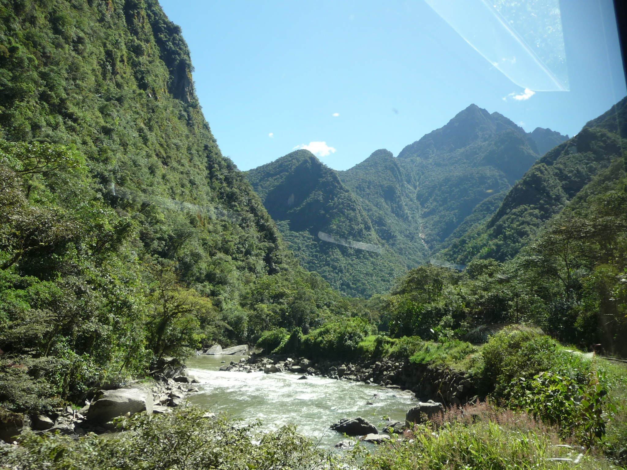
Be patient, because I take a lot of photos along the way. The journey takes about an hour and a half. It is not very far away, but we travel quite slowly, through a wide variety of scenery. The only thing in common is that the entire journey follows a river.
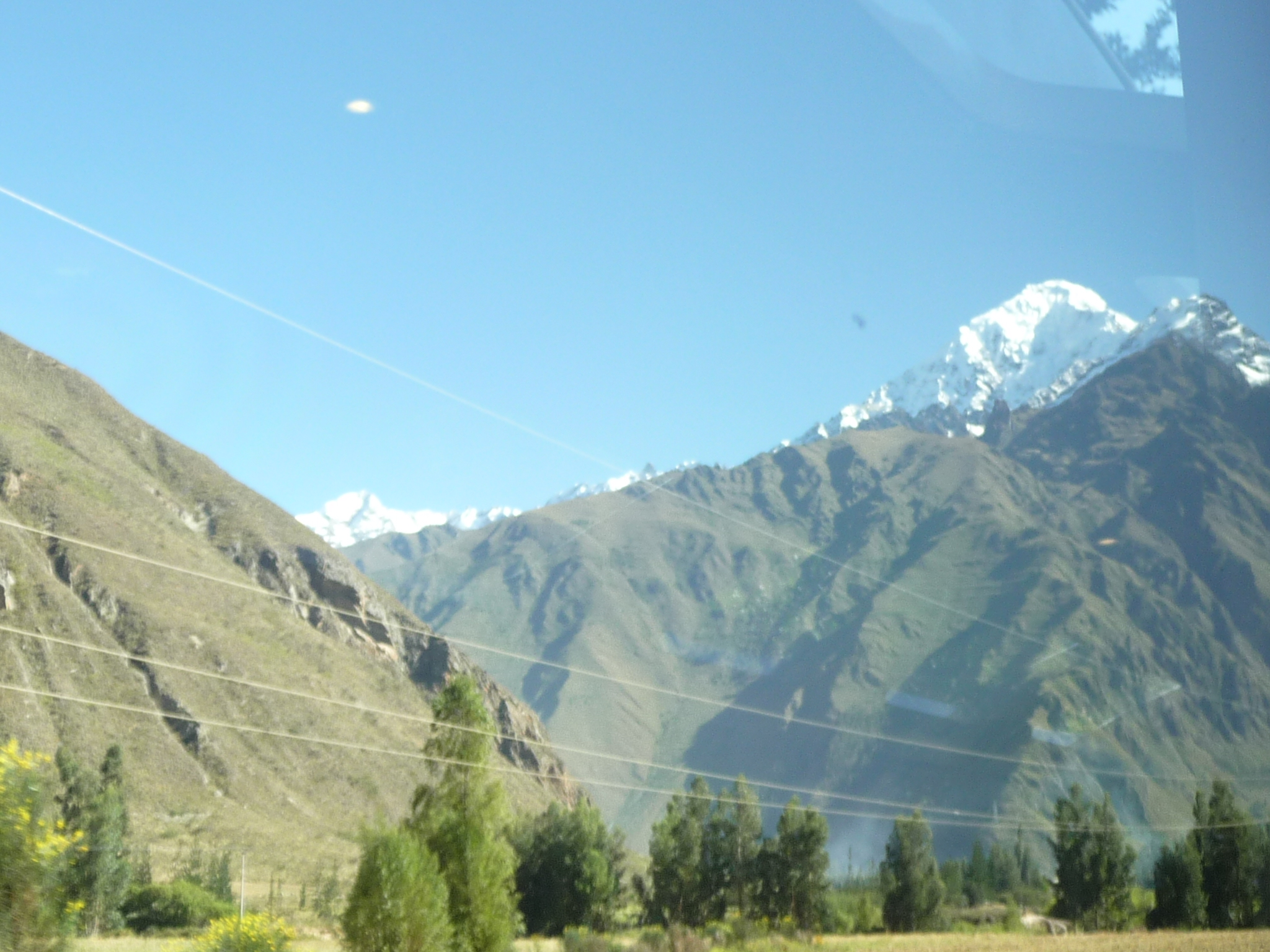
For the next while, I will not add a lot of narrative. This, and subsequent photos are just more of the scenery as we work our way down the river toward Aguas Calientes.
Those funny color shifts here are there are just reflections on the windows. I am inside a moving train and the angle of the sun (and corresponding reflections) continues to change.
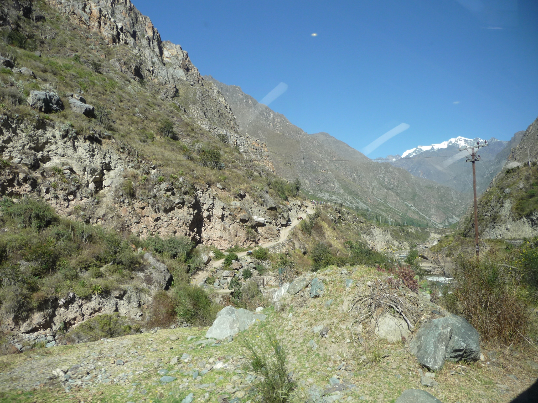
I am not quite sure, but I believe the above is the beginning of the Inca Trail – the famous trek that leads through the mountains into Machu Picchu.
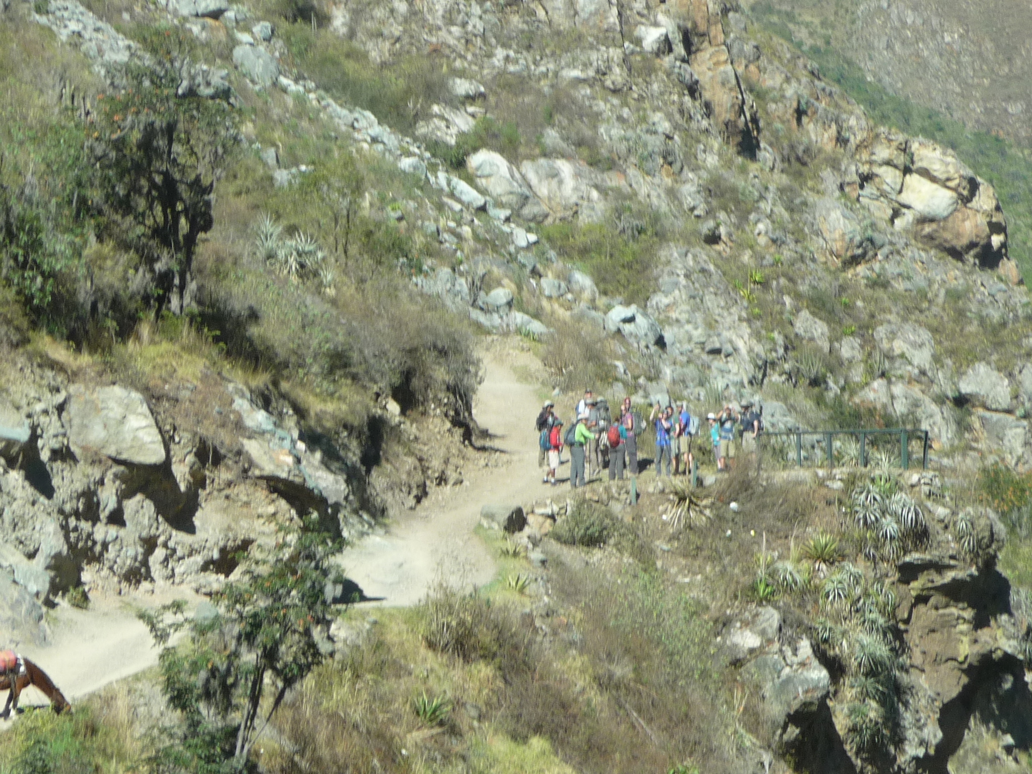
And I believe this zoomed in photo is of a group of trekkers that are just beginning their long several day hike.
Looking forward on my train as we continue our journey.
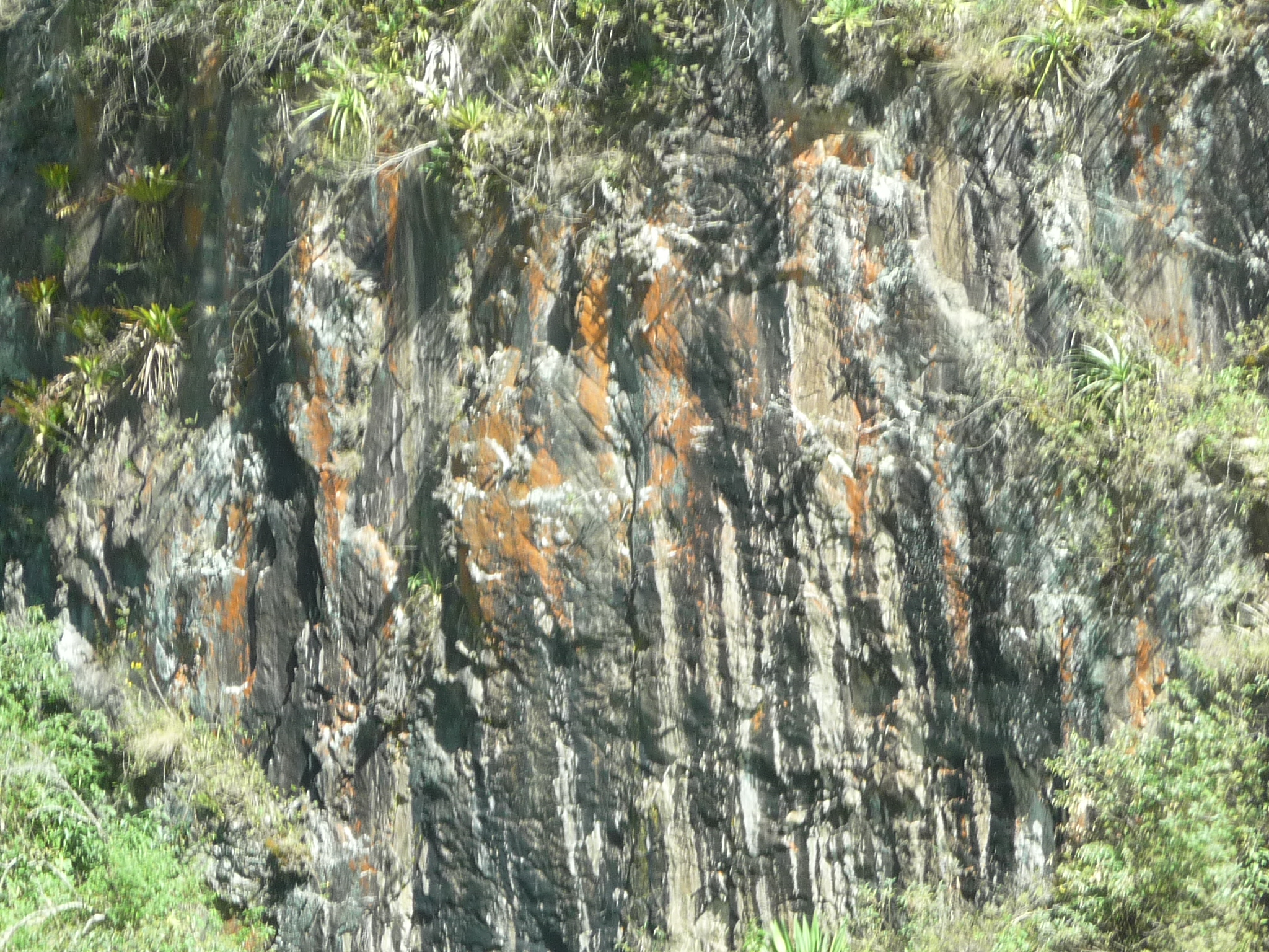
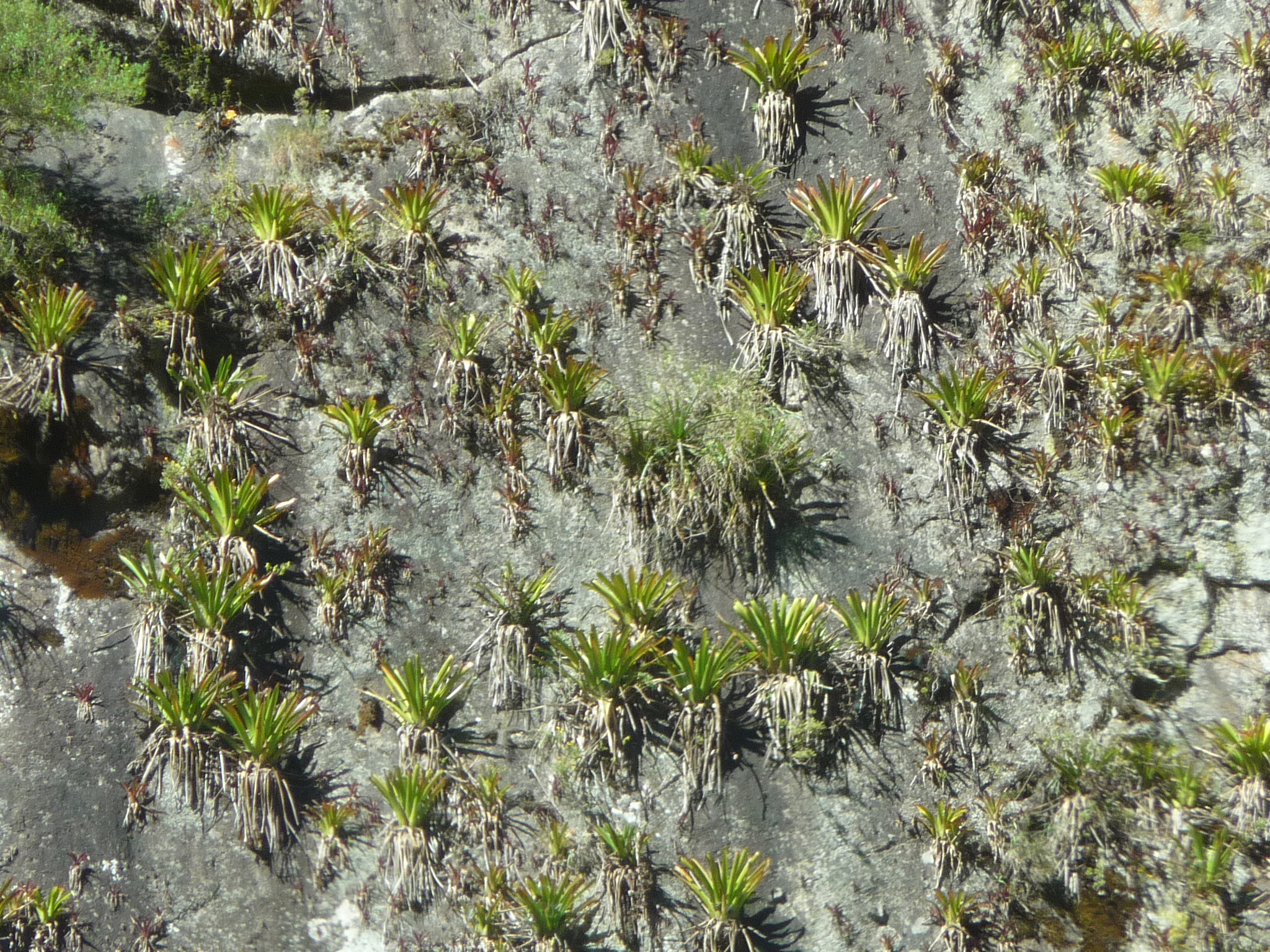
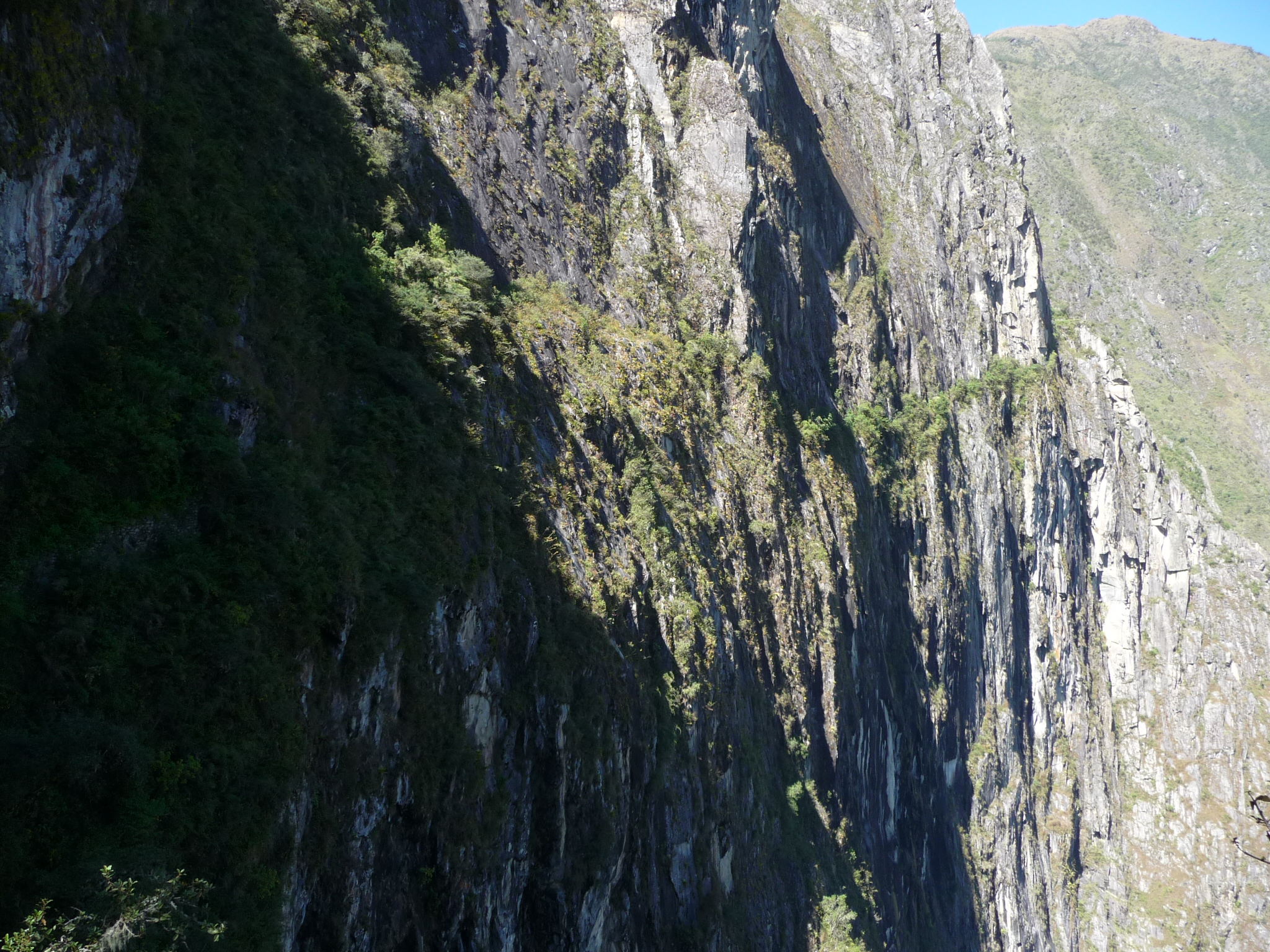
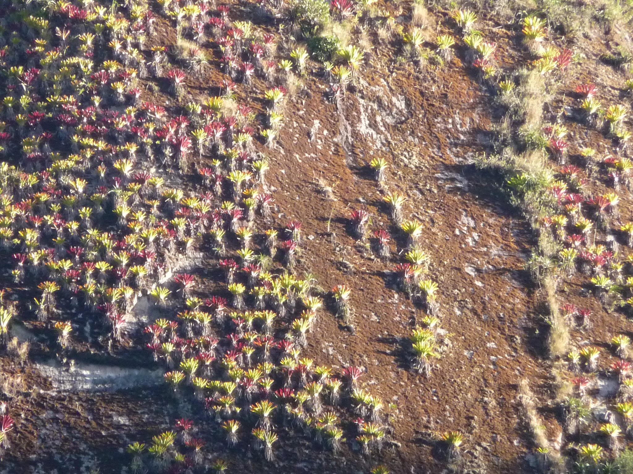
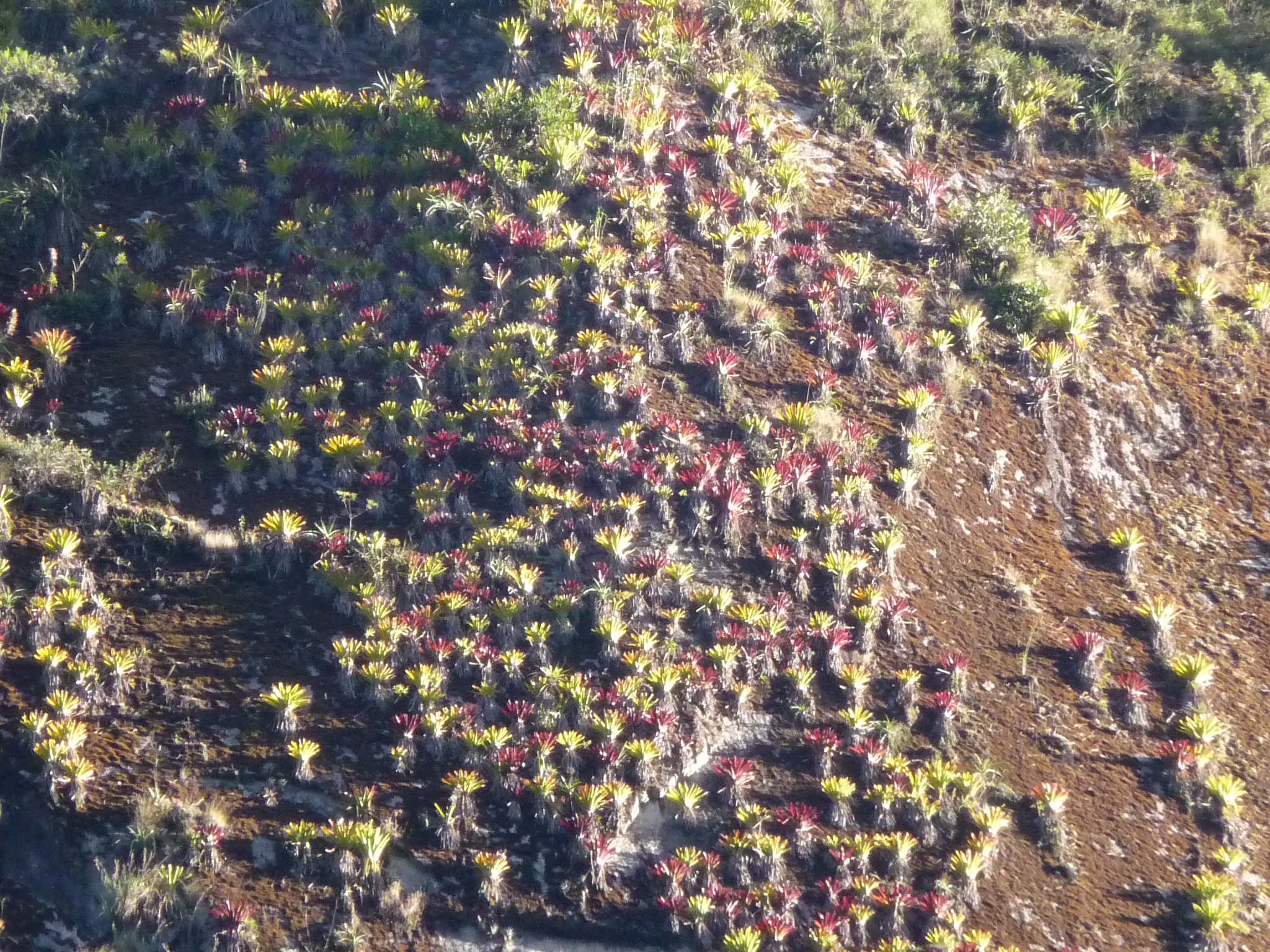
This is taken with a full zoom – I am told that these are orchids growing on the cliff wall.
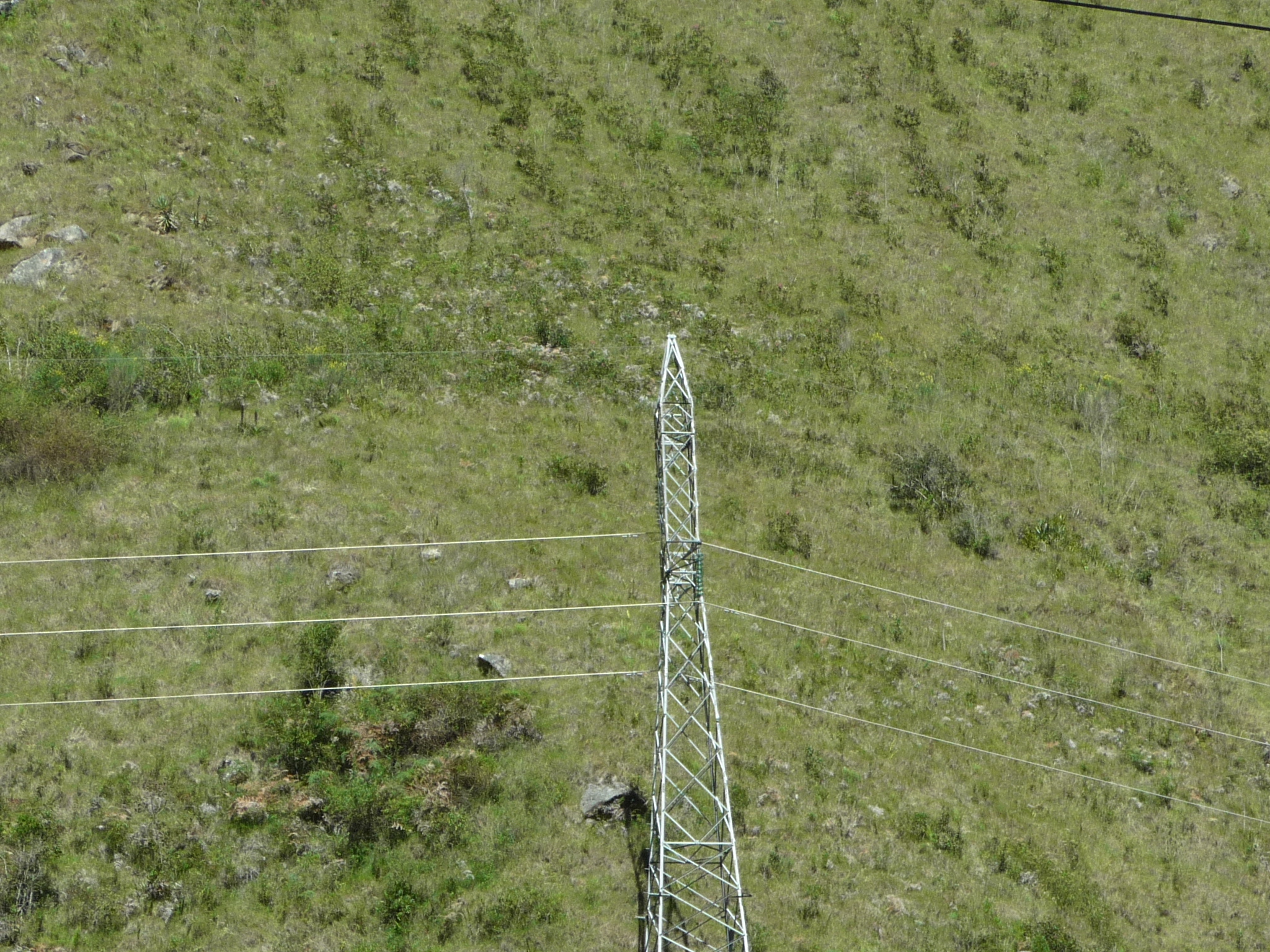
Yes, civilization and power lines continue to follow the river as well.
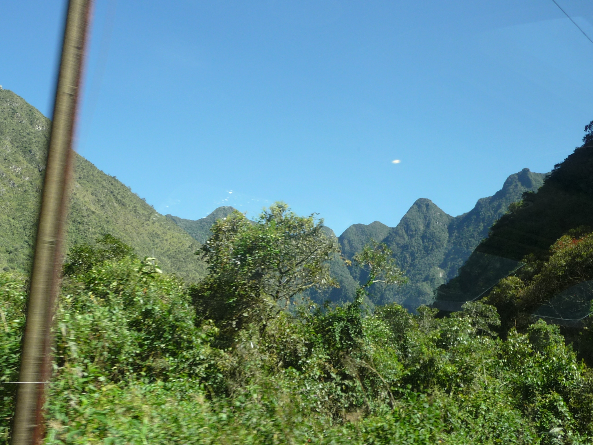
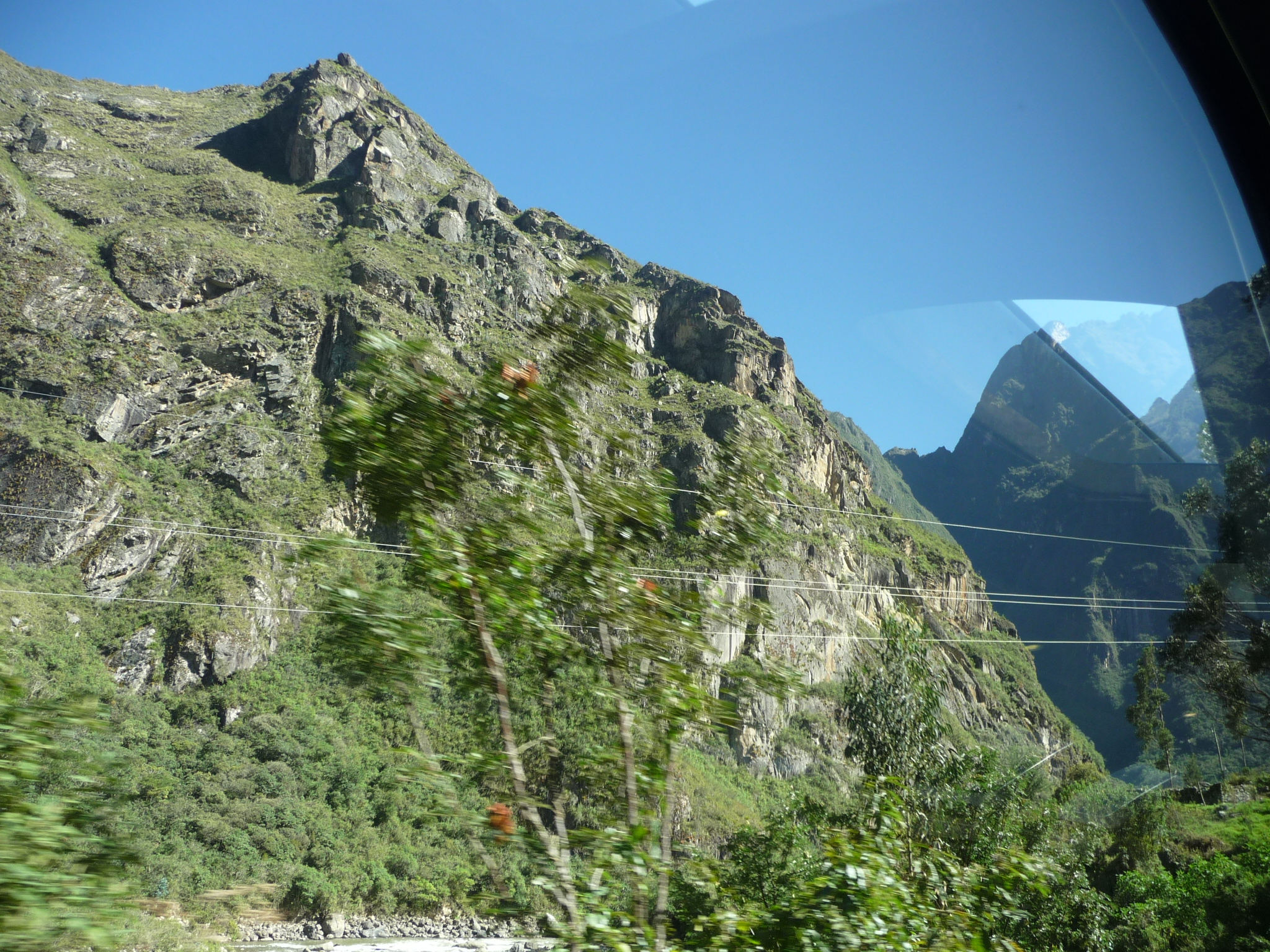
The vegetation is beginning to change as we near Aguas Calientes. The Amazon Jungle is just on the other side of these mountains, and we are getting ever closer (though still over 6690 feet – 2040 meters).
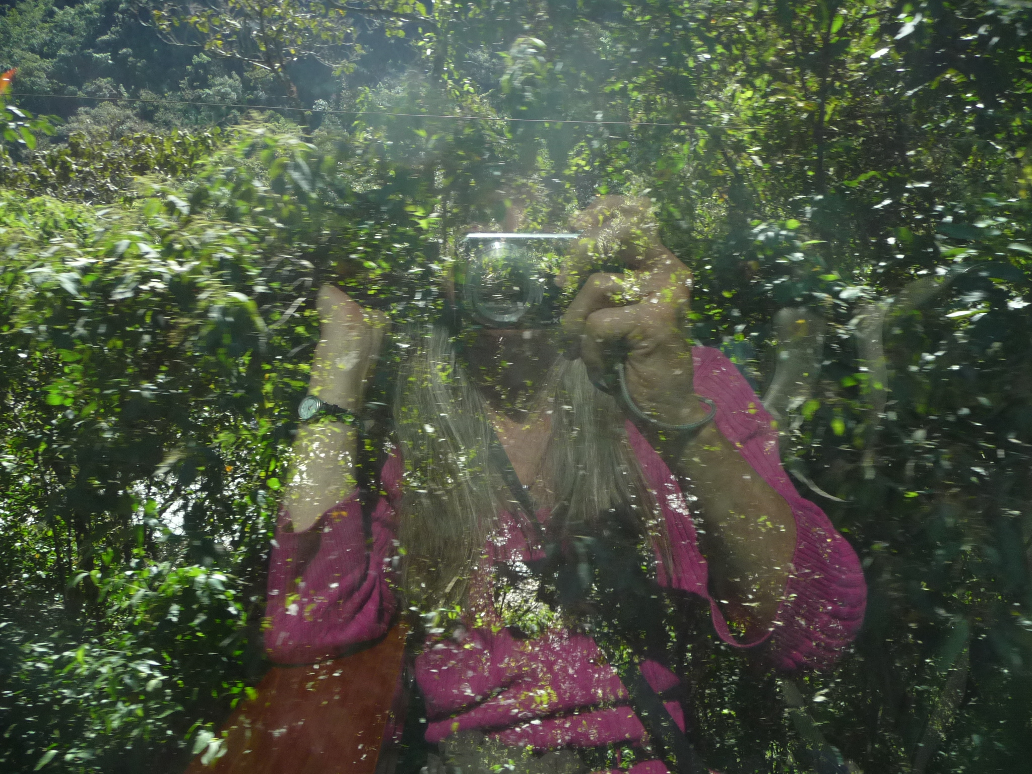
This is a fun picture, with my reflection in the window as i take a photo of the passing scenery. That bright color is my sweater.
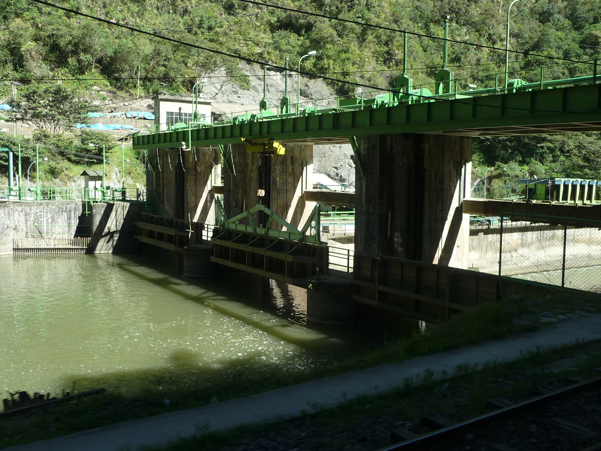
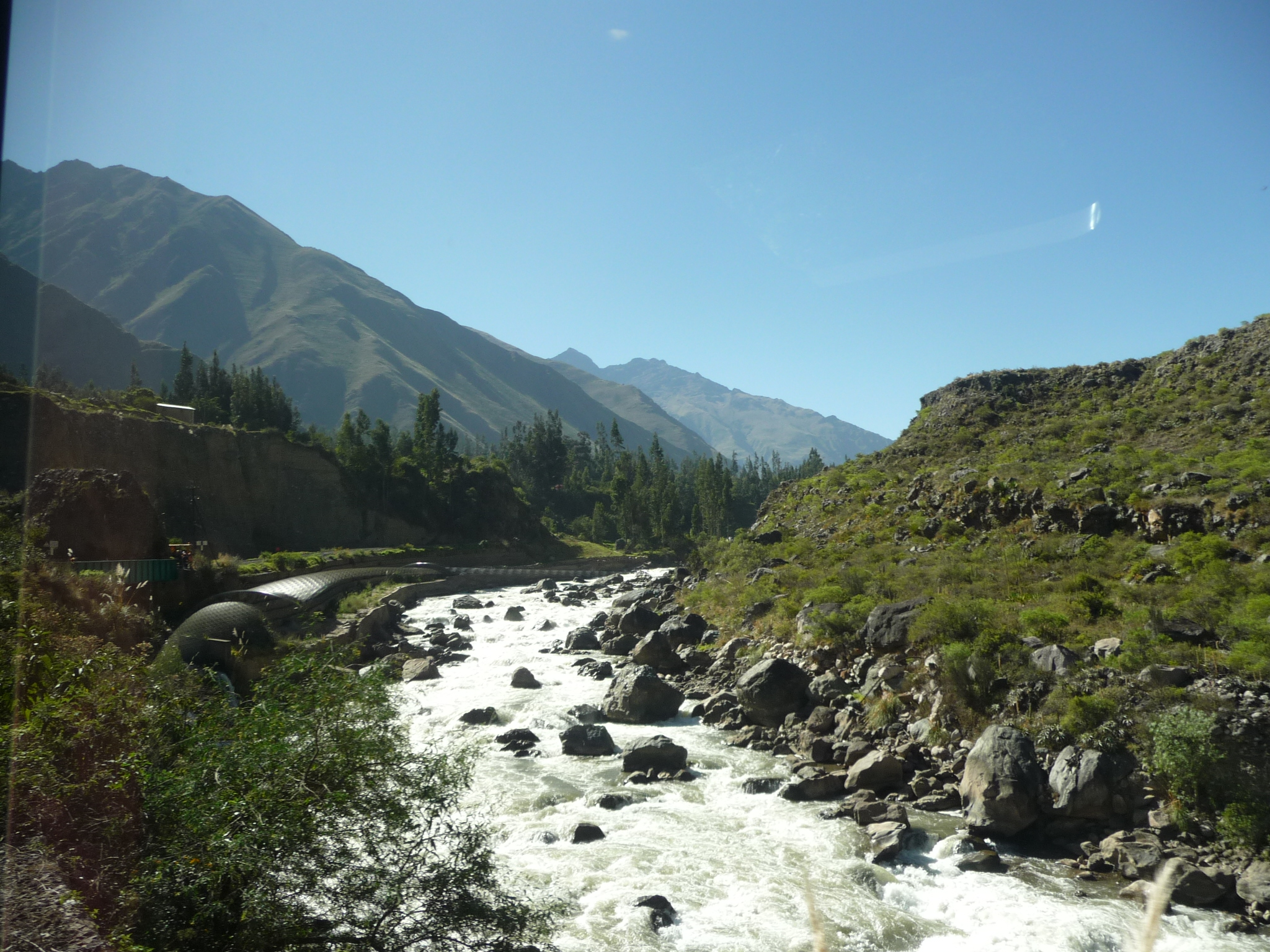
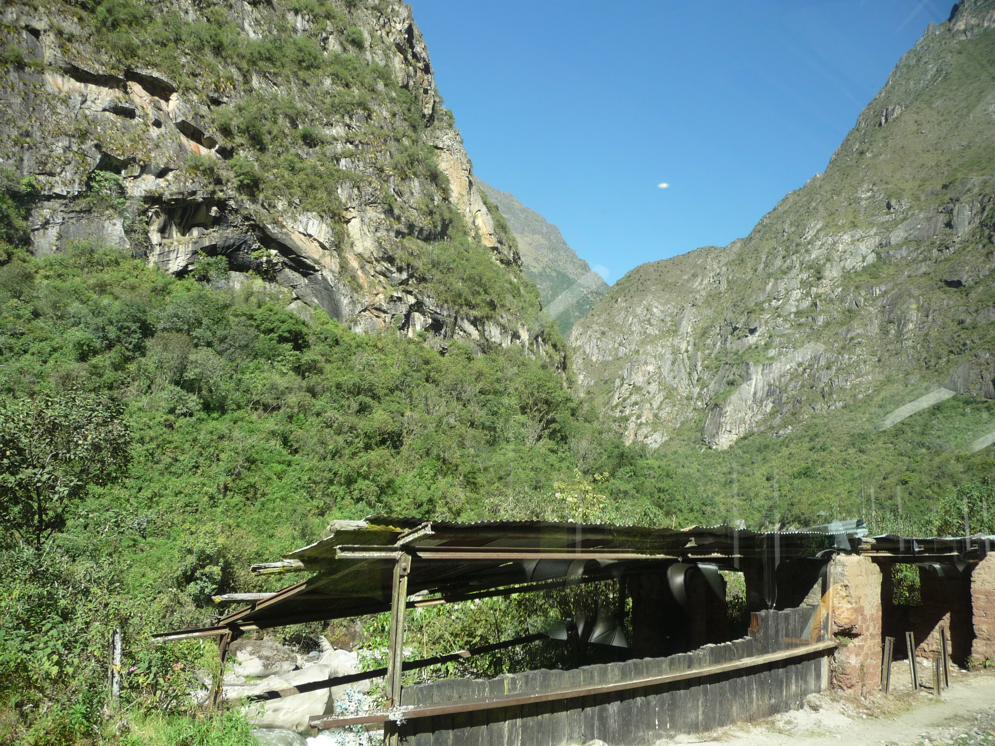
As we get closer to Aguas Calientes, we pass this small hydroelectric dam.
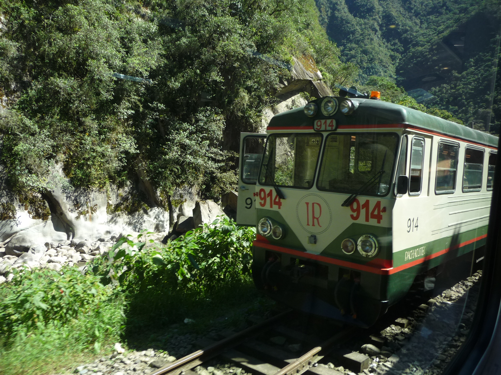
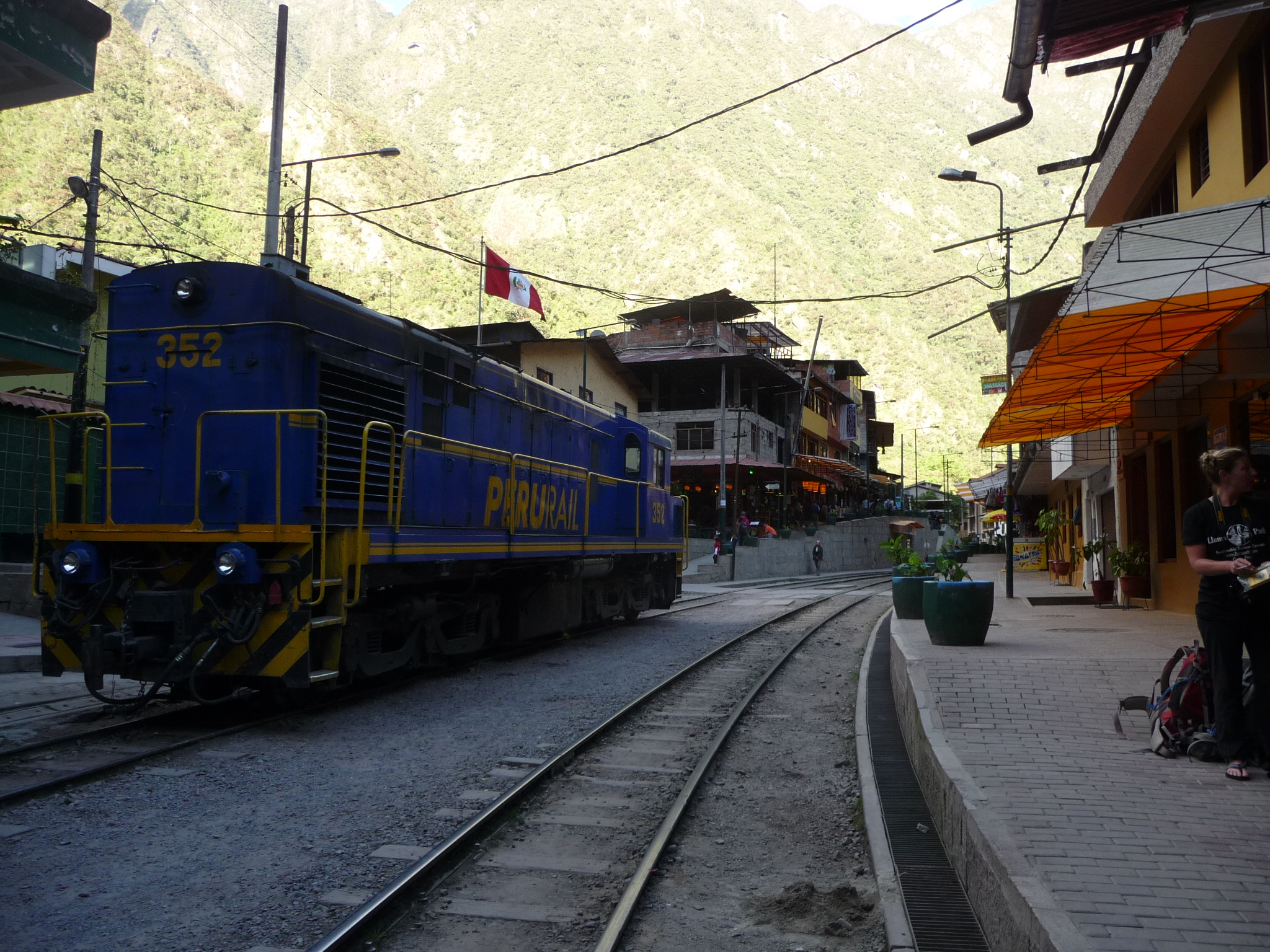
And we even pass by another train headed in the opposite direction. (It looks like this one is stopped.)

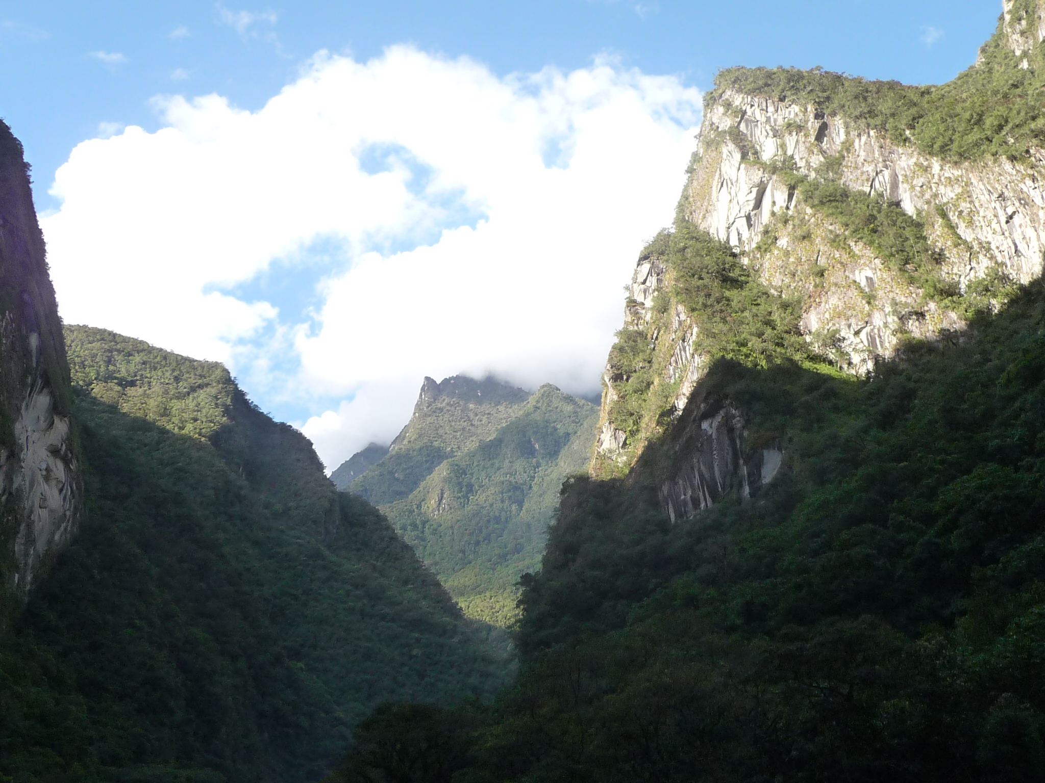
That is Aguas Calientes in the distance (right in the center of the photo).
Aguas Calientes
According to Wikipedia, Aguas Calientes has about 1600 residents (it seems much bigger than that), and it is at an elevation of 6690 feet (2040 meters). It is about 1300 feet (400 meters) below Machu Picchu, which is up the canyon to the left (in the former photo).
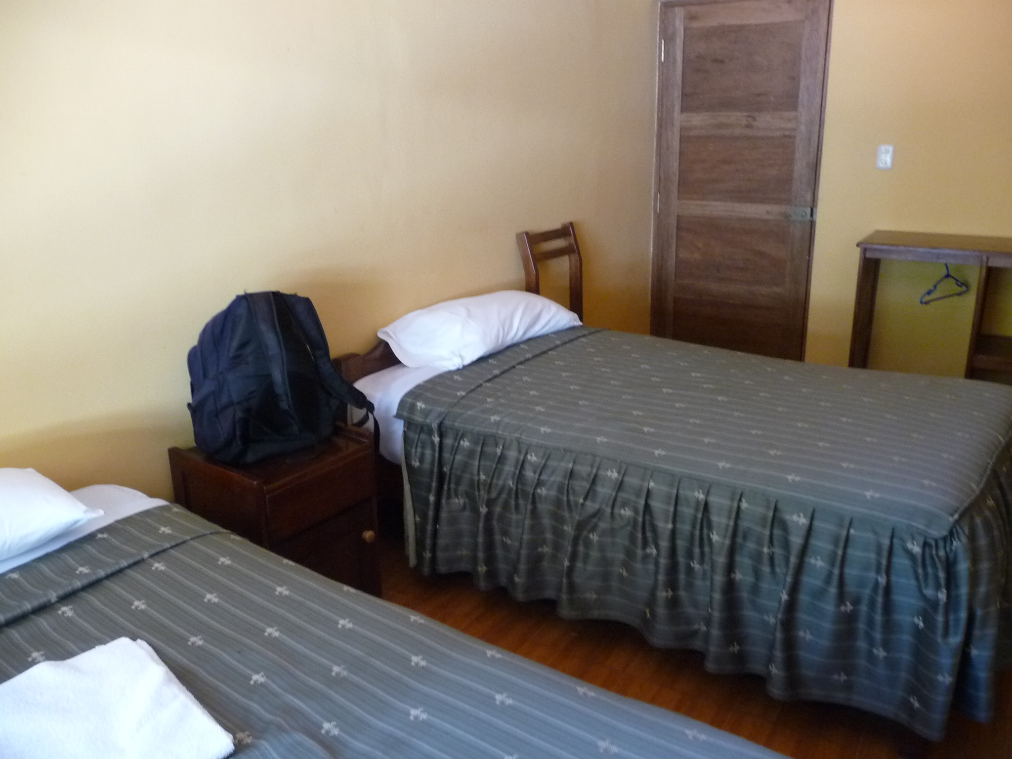
One of the first things I do is find a small economical hotel. This is my bed.
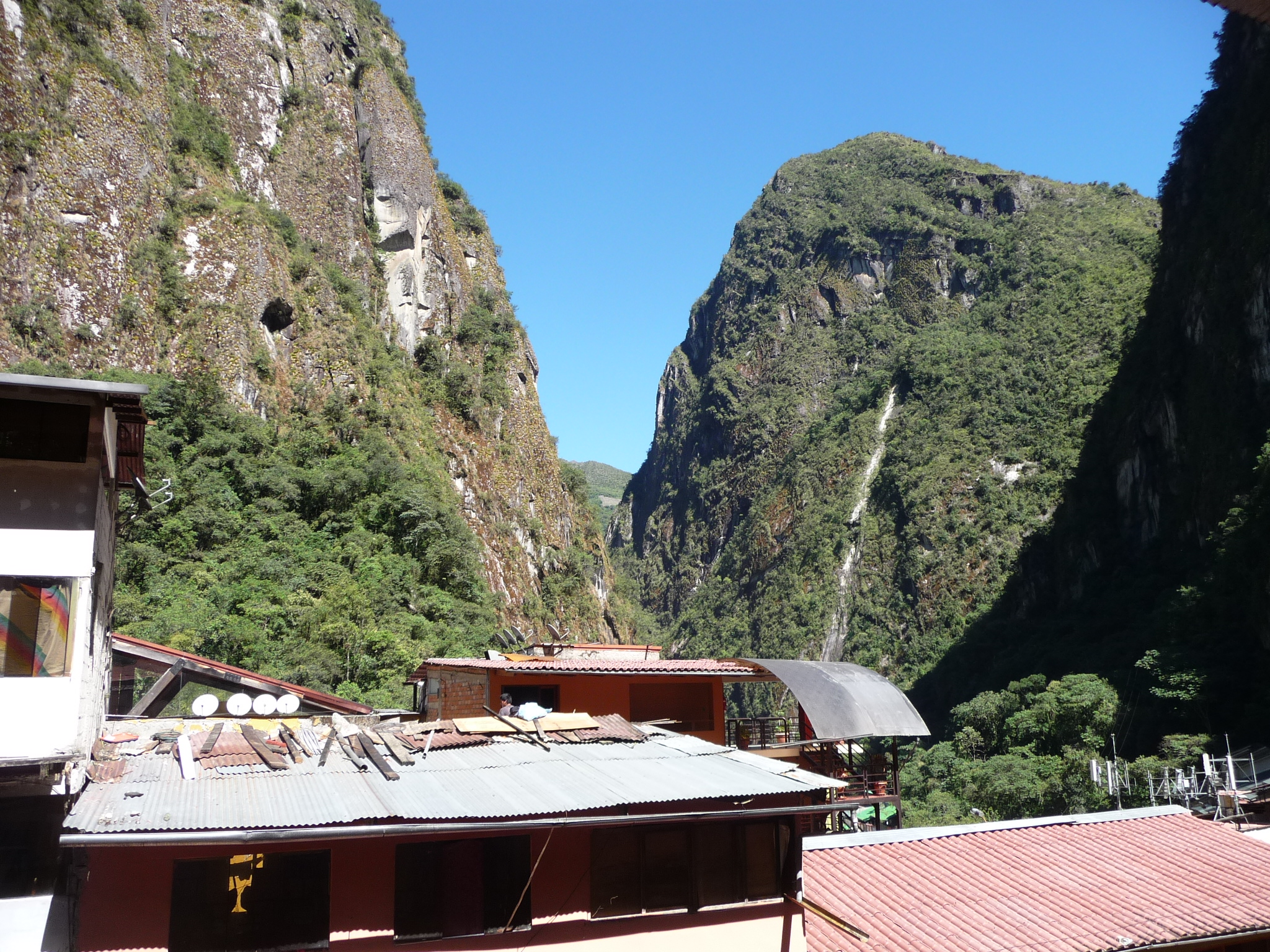
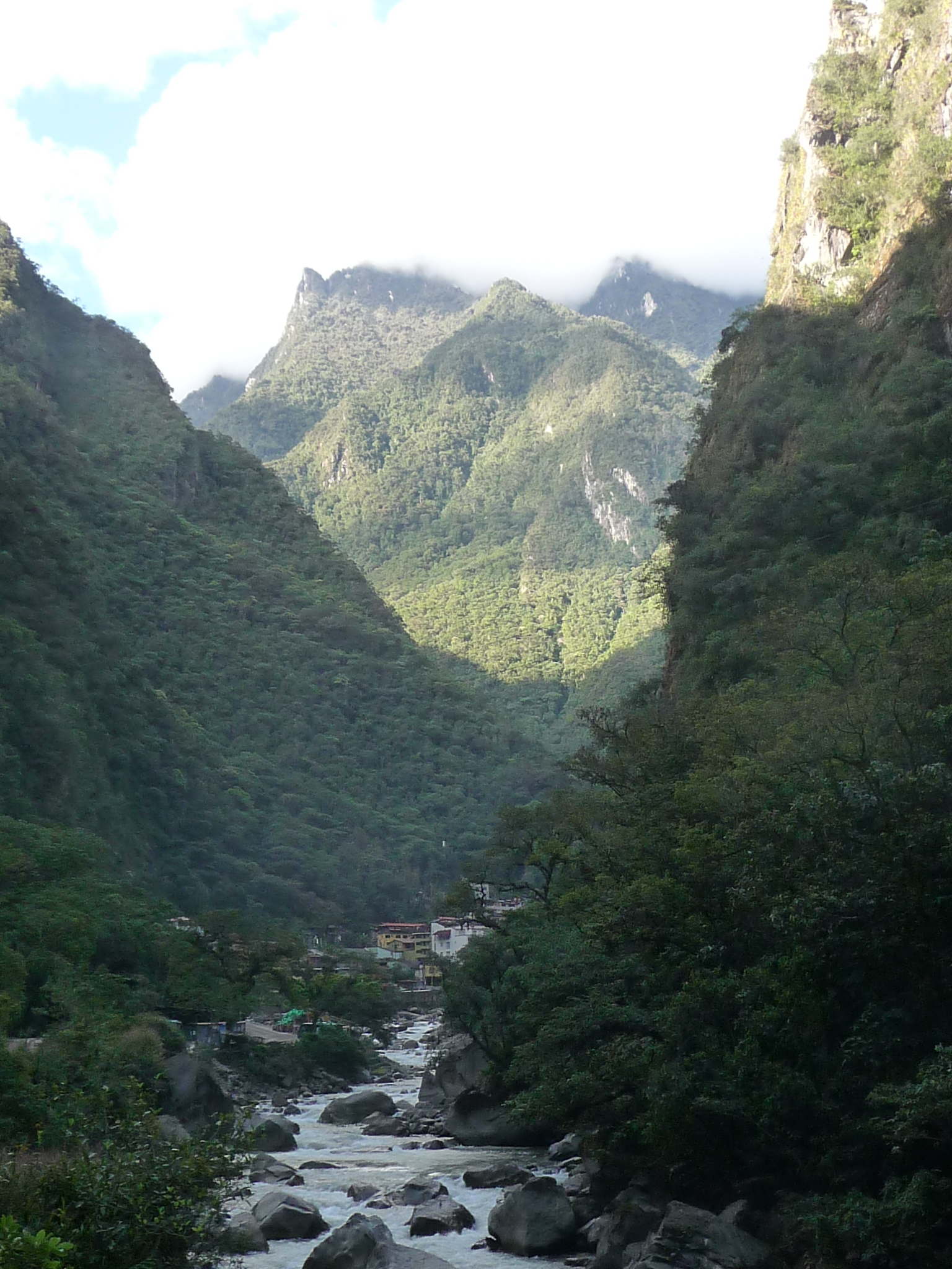
This is the view from my window. Machu Picchu is on top of the mountain that is the low spot in the “V” between these two closer mountains.
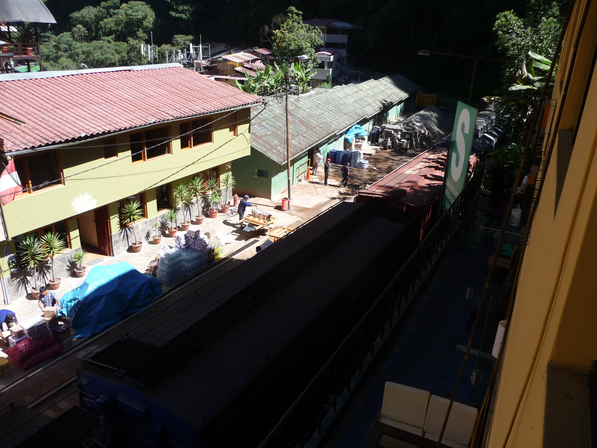
Looking down from my bedroom window. If you look closely in the shadows, you can see that this road below me is actually filled with train tracks. The train continues from here on toward a Hydroelectric Plant. One of the cheaper ways to get to Aguas Calientes is to take public transportation to a town called Santa Teresa, then make your way to Hydroelectric (I believe there is another bus) … and then take a very short train from there. (It is also only a several hour walk).
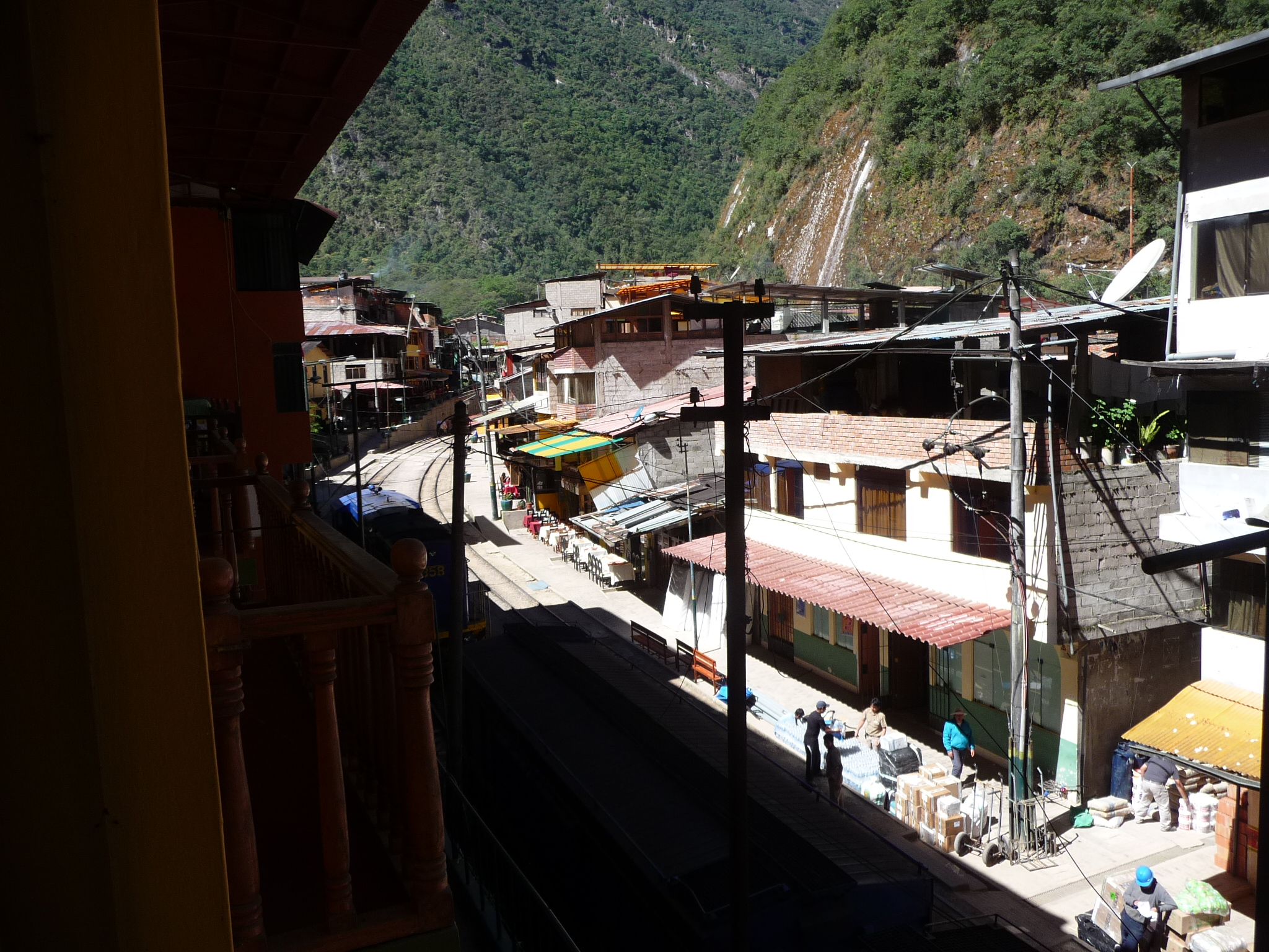
Looking the other direction from my window. You can see the train tracks more easily in the light sections.
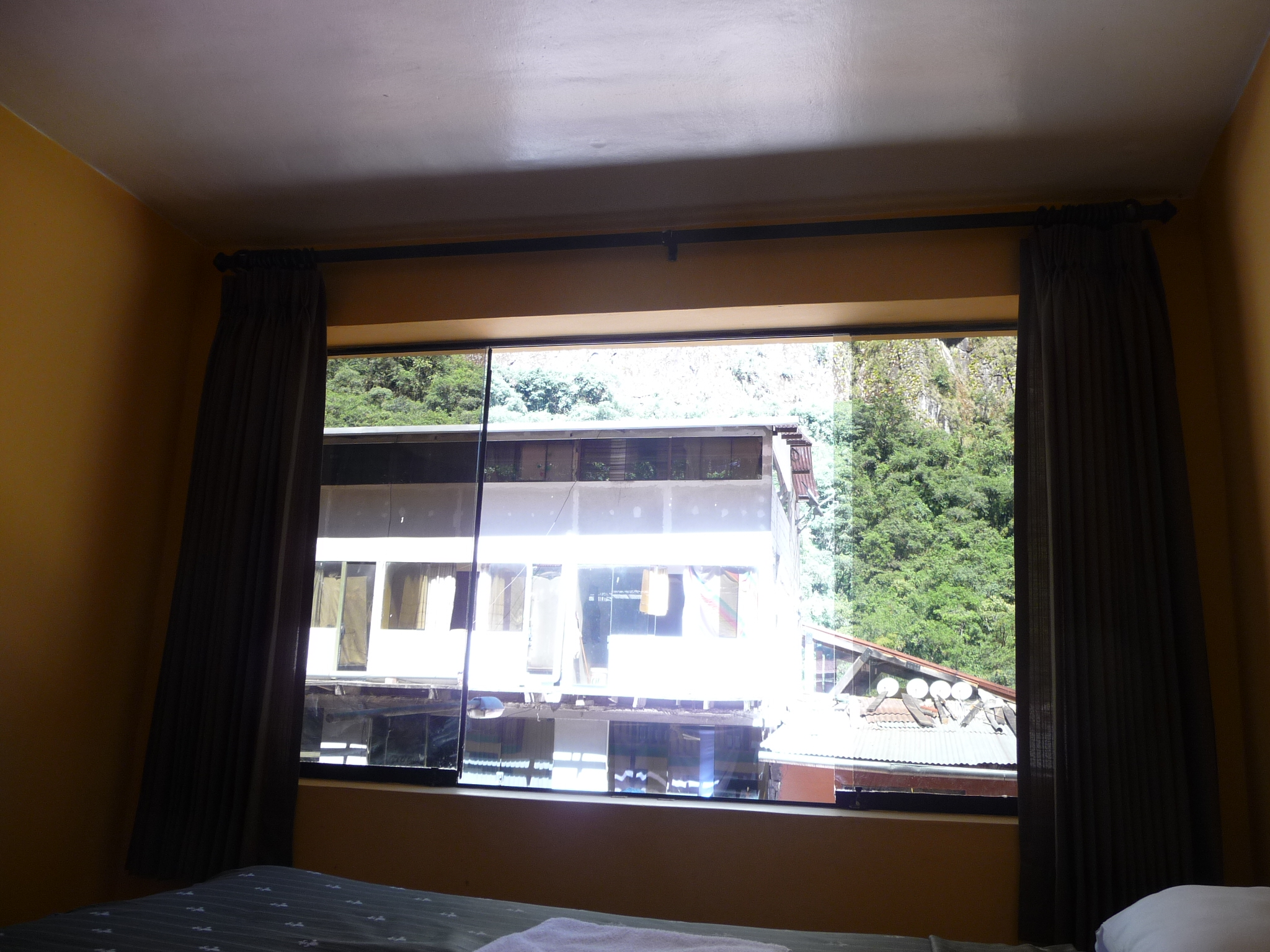
Inside the room, looking at my window.
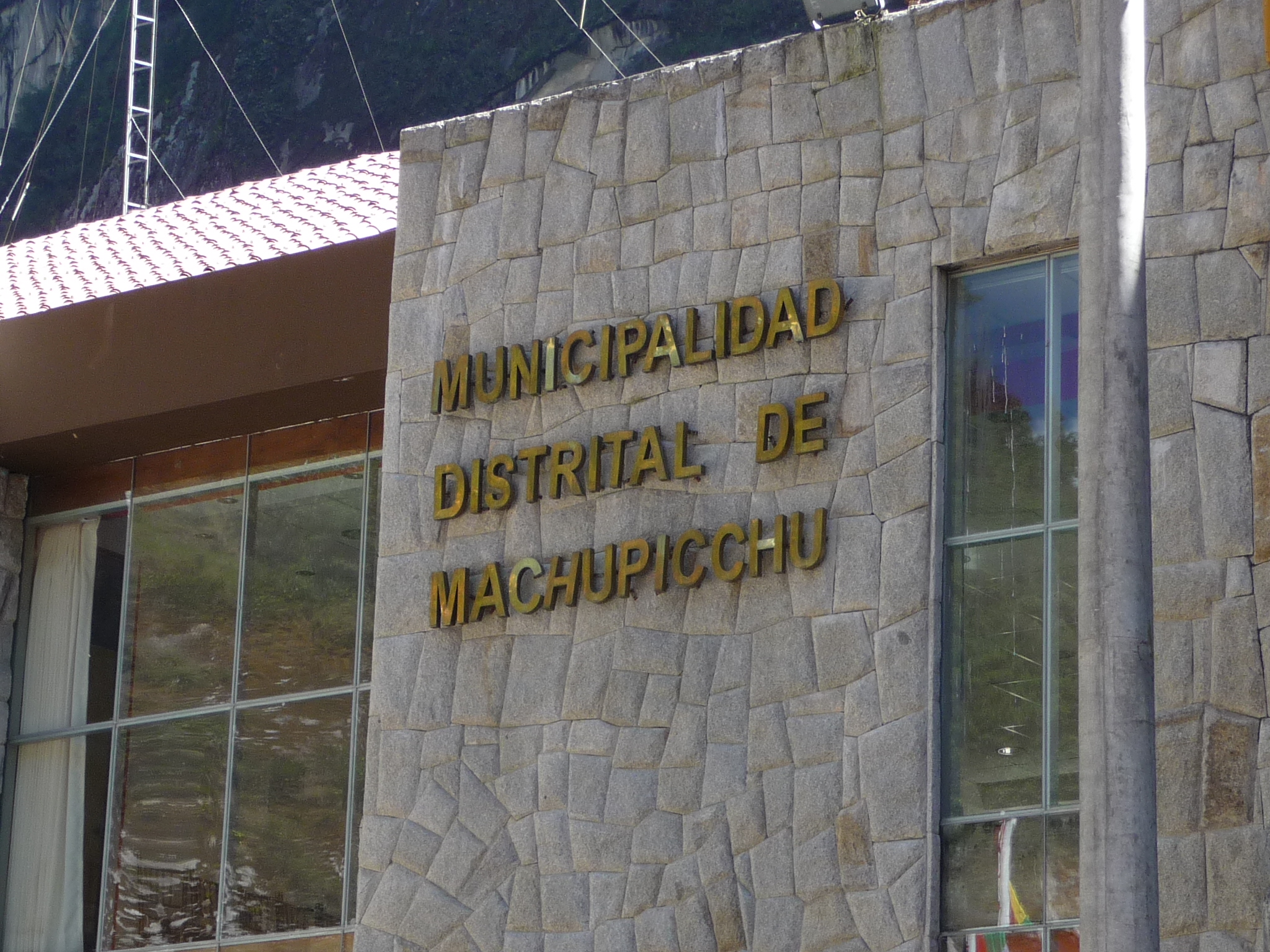
Just a piece of the municipal building of Machupicchu. For whatever reason, all of the external tourist maps etc. refer to this town as “Aguas Calientes” (Hot Waters) … but all the signs in the area refer to it as the city of Machu Picchu.
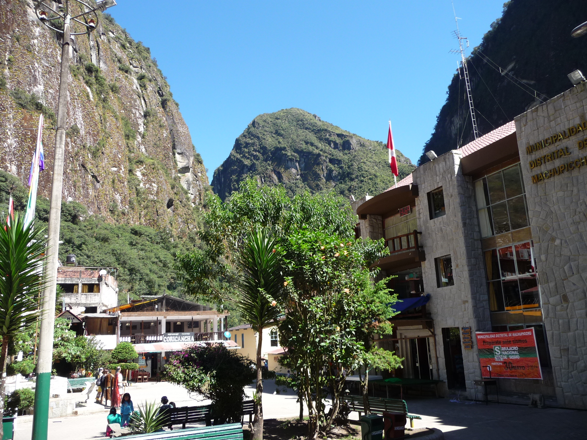
Looking from the city center toward the direction of Machu Picchu, which is behind that smaller peak in the middle.
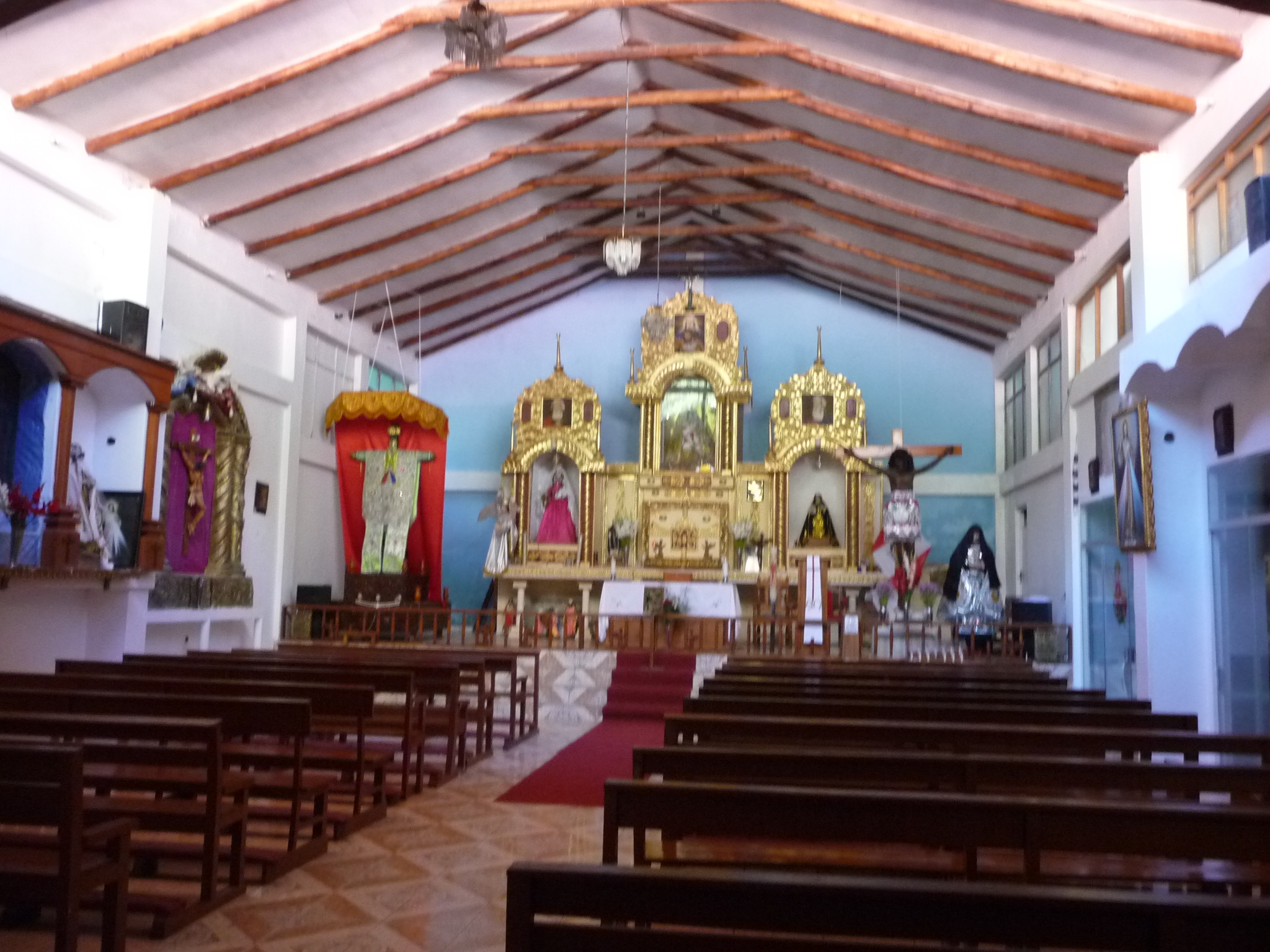
Inside a local church.
Hike To The Falls
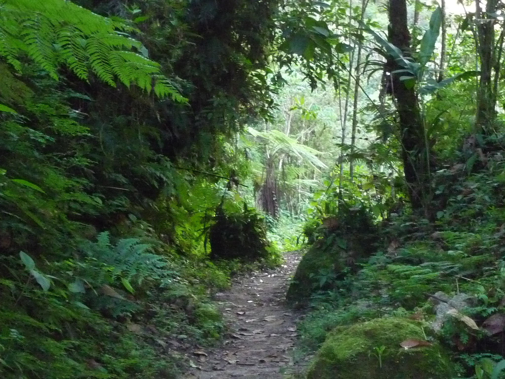
I had no idea what I was doing, but I saw a tourist map that talked about a waterfall hike. As I take an early afternoon hike exploring the road that leads toward Machu Picchu, I end up deciding to go check out the falls. It is a long hike, one that actually leads around the base of the Wayna Picchu mountain (the famous one in all the pictures of Machu Picchu). I don’t realize it as I walk, or I might have taken more photos of the mountain itself.
This is part of the early road that leads toward Machu Picchu.
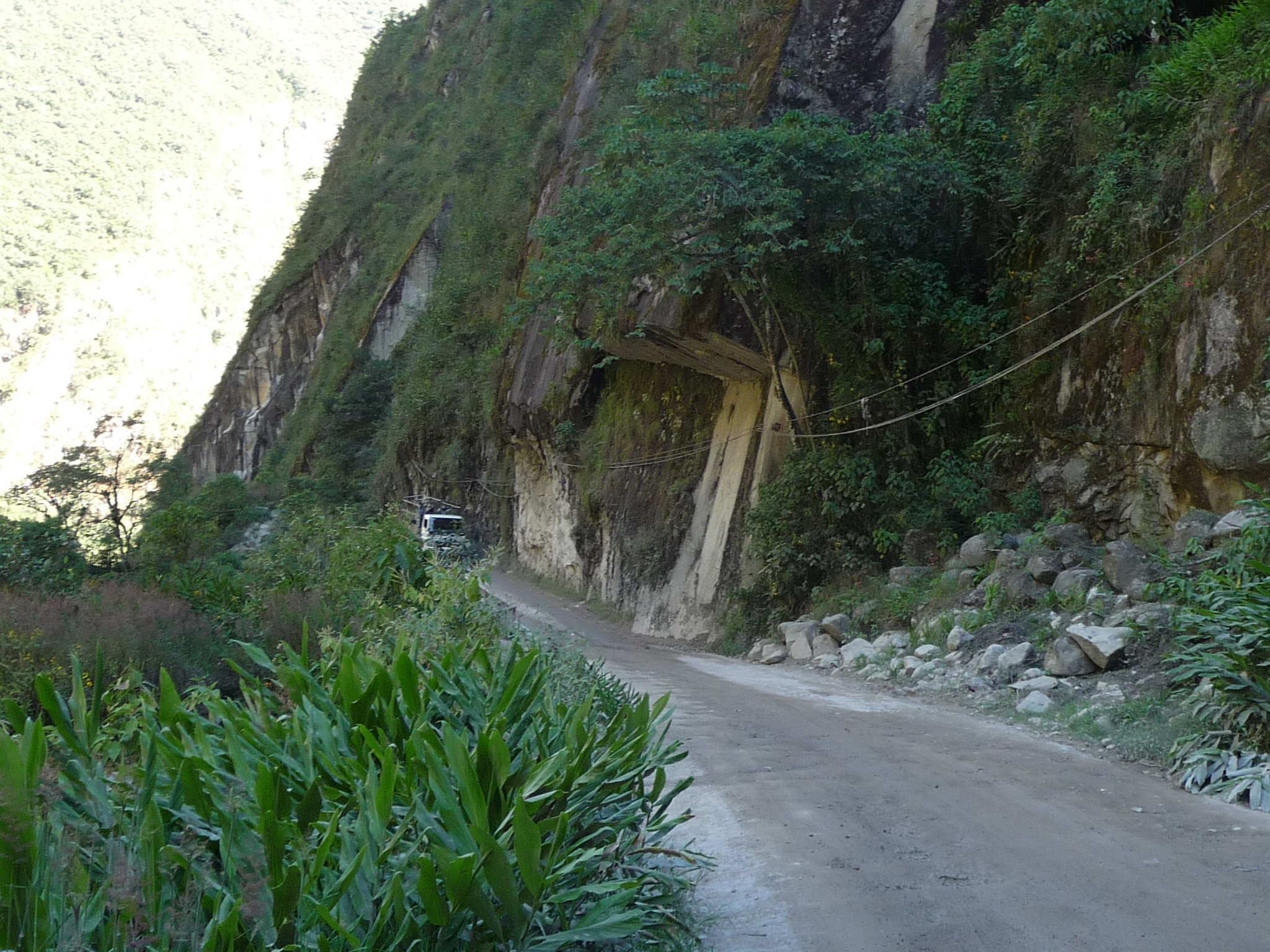
More of the same road.
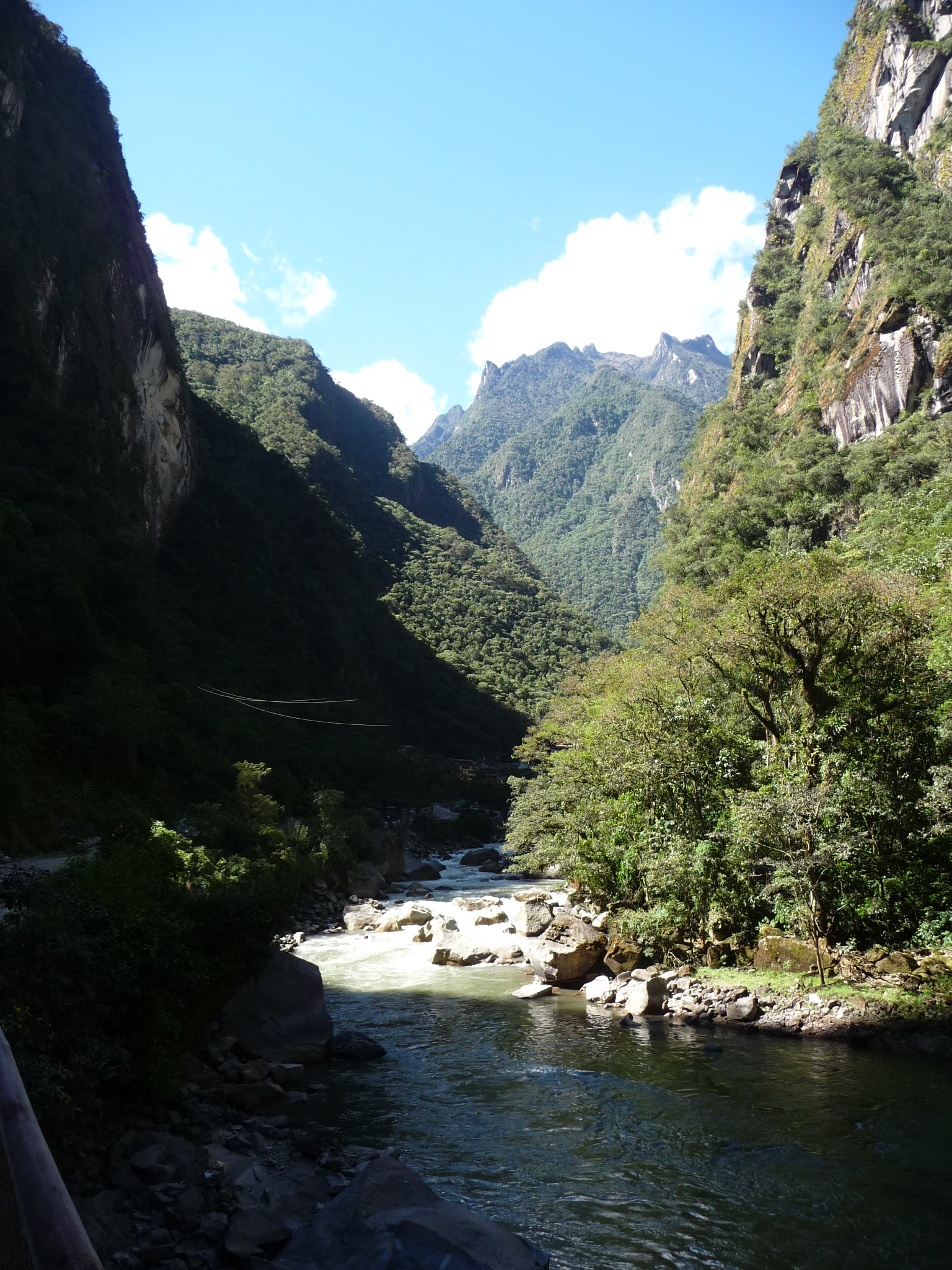
The road follows this river.
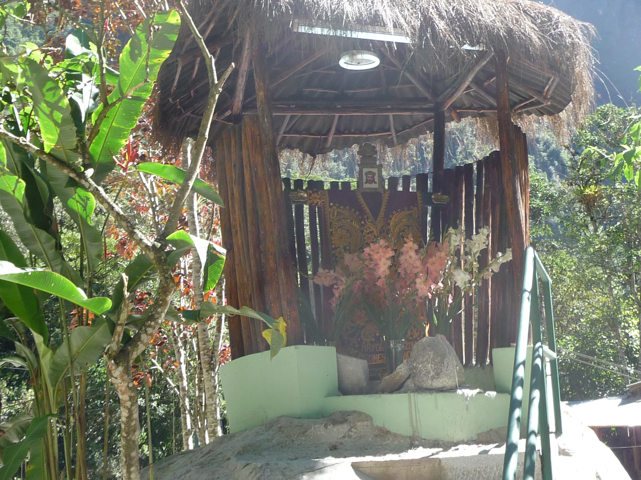
A shrine near the turnoff that crosses the river and then winds up the mountain to the actual ruins. I wanted to hike this road, but they wouldn’t let me cross the river without an entrance ticket for today. The road itself zigzags back and forth, around switchbacks that rise a total of about 1300 feet (or 400 meters).
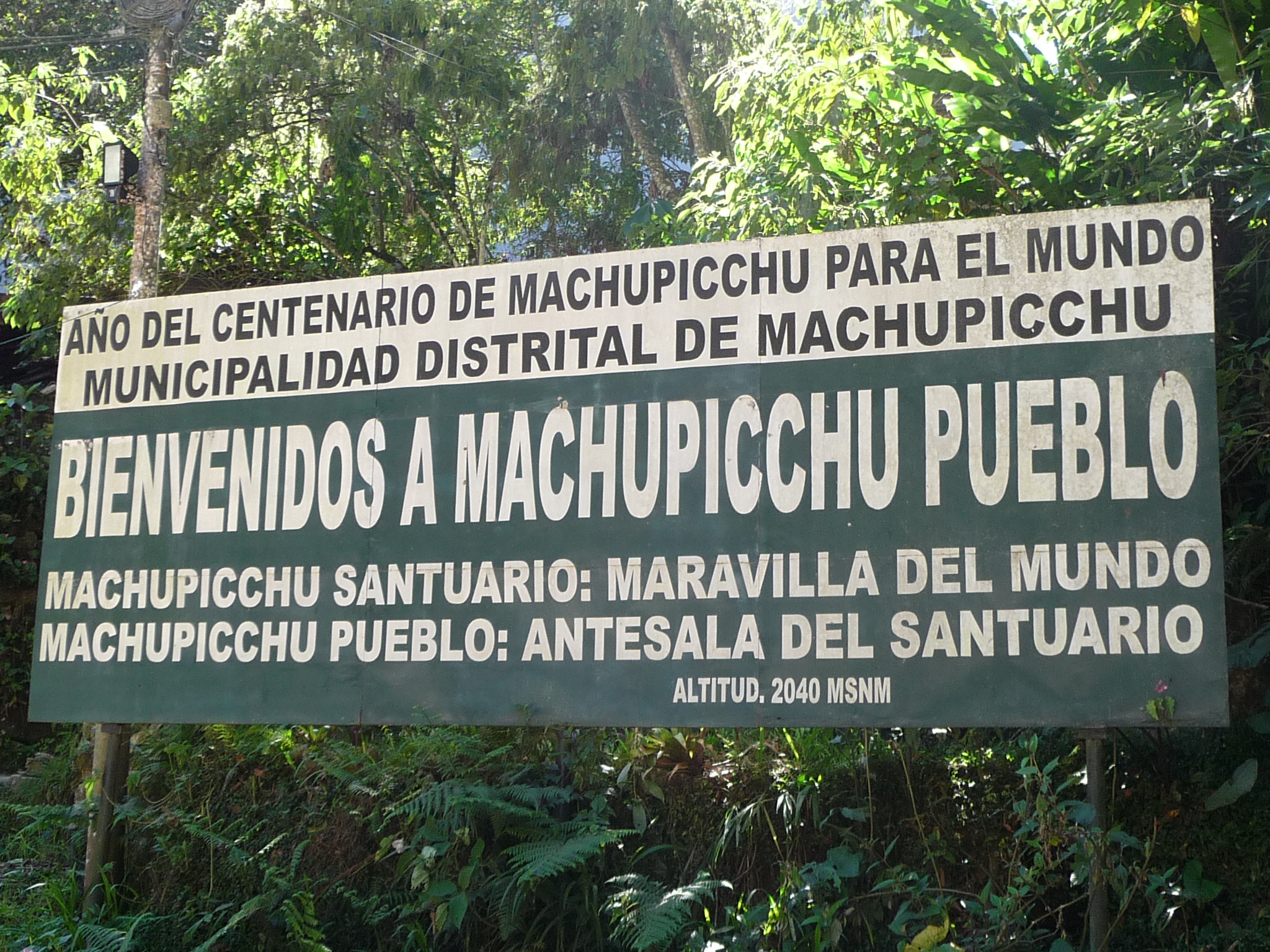
Another sign welcoming people to the town of Machupicchu – even though everyone else calls it Aguas Calientes.
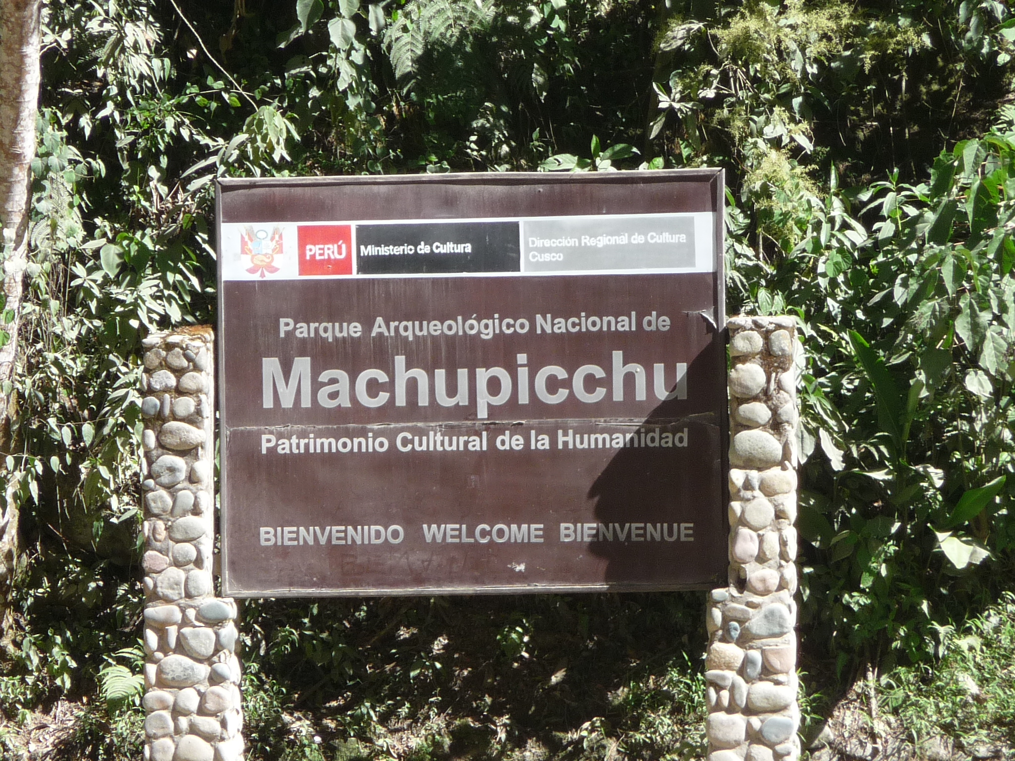
And a sign welcoming people to the ruins themselves.
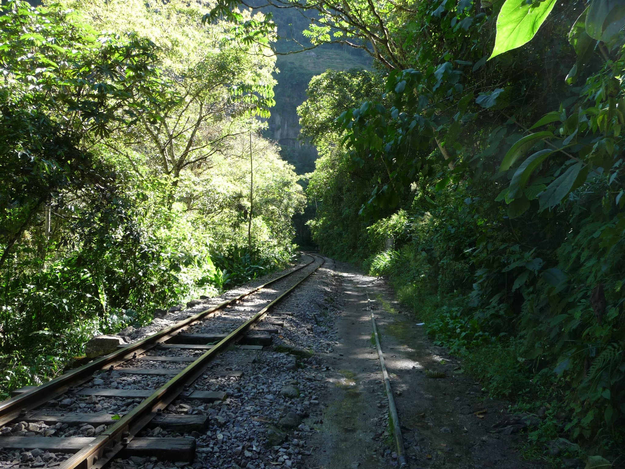
So instead of hiking up that mountain, I decided to check out the waterfalls. I didn’t know that they were several kilometers away, and that the way to get there is to follow these train tracks. And I didn’t know that the path walked all around the base of Wayna Picchu Mountain. That mountain looks very different from the bottom looking up.
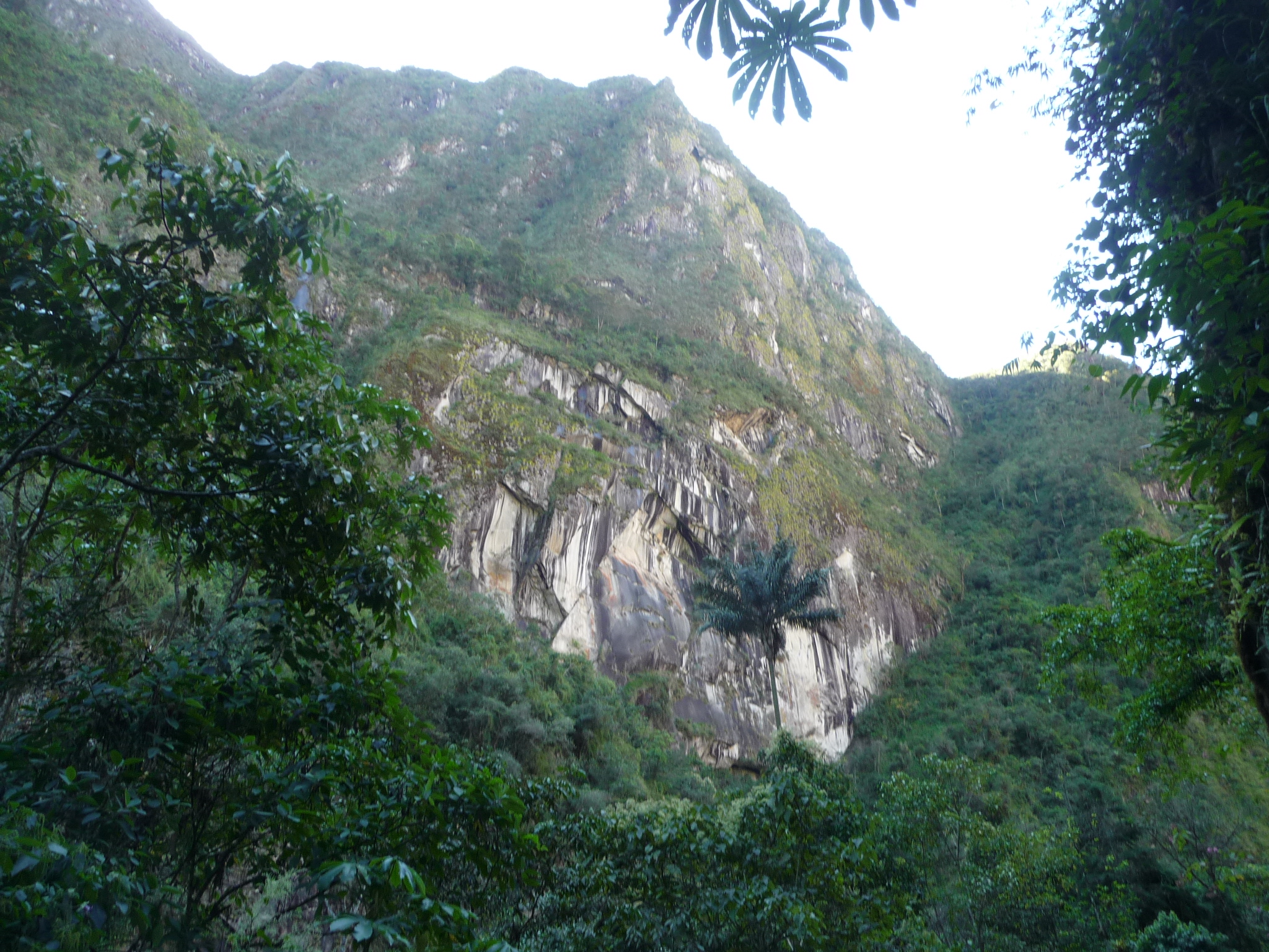
A beautiful view along the way.
It takes about an hour and a half before I reach the actual short trail to the waterfalls. There is a small building there, and they charge 10 soles (about $3.50) to get permission for the hike further up to the falls.
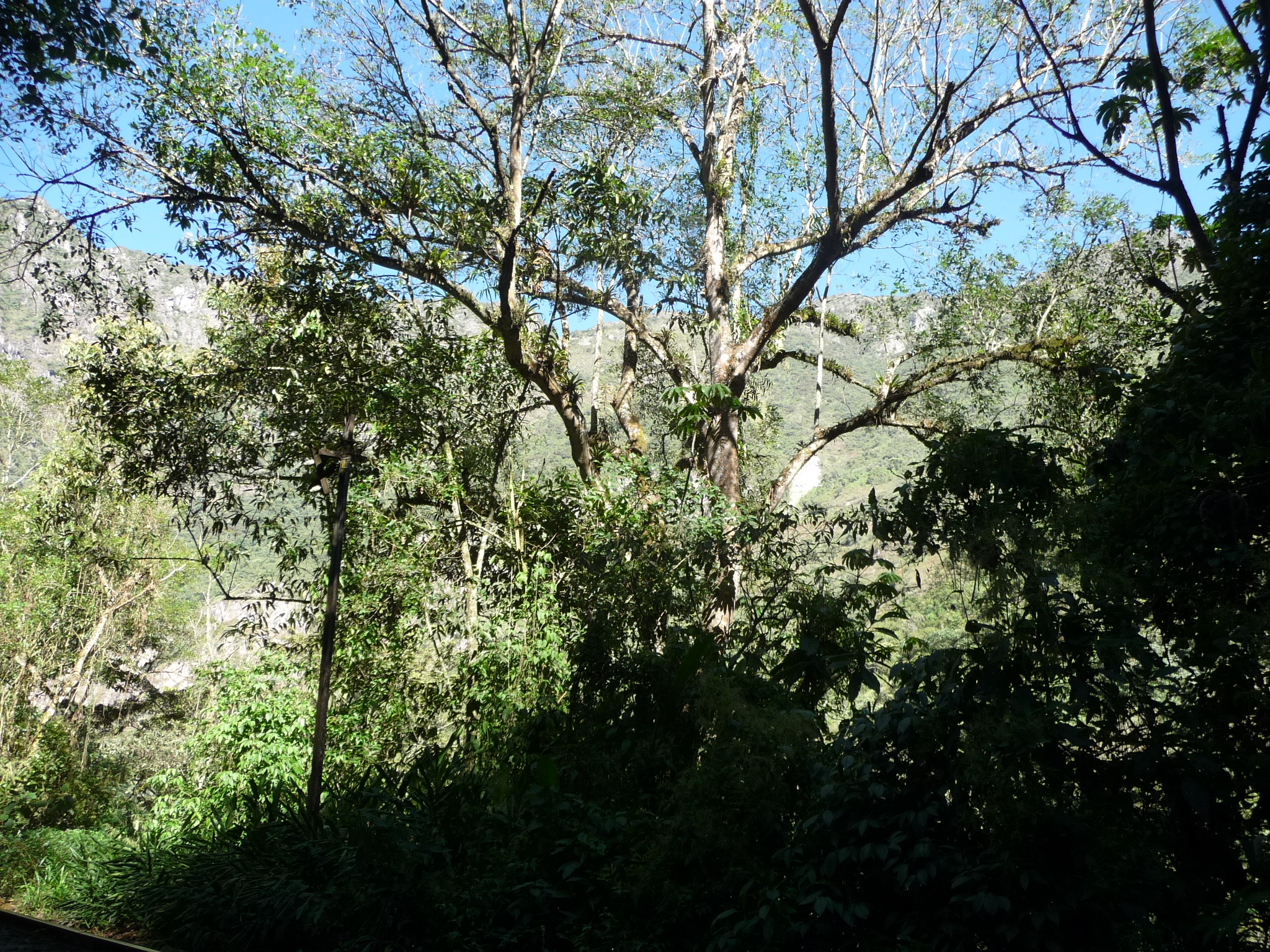
More scenery along the trail.
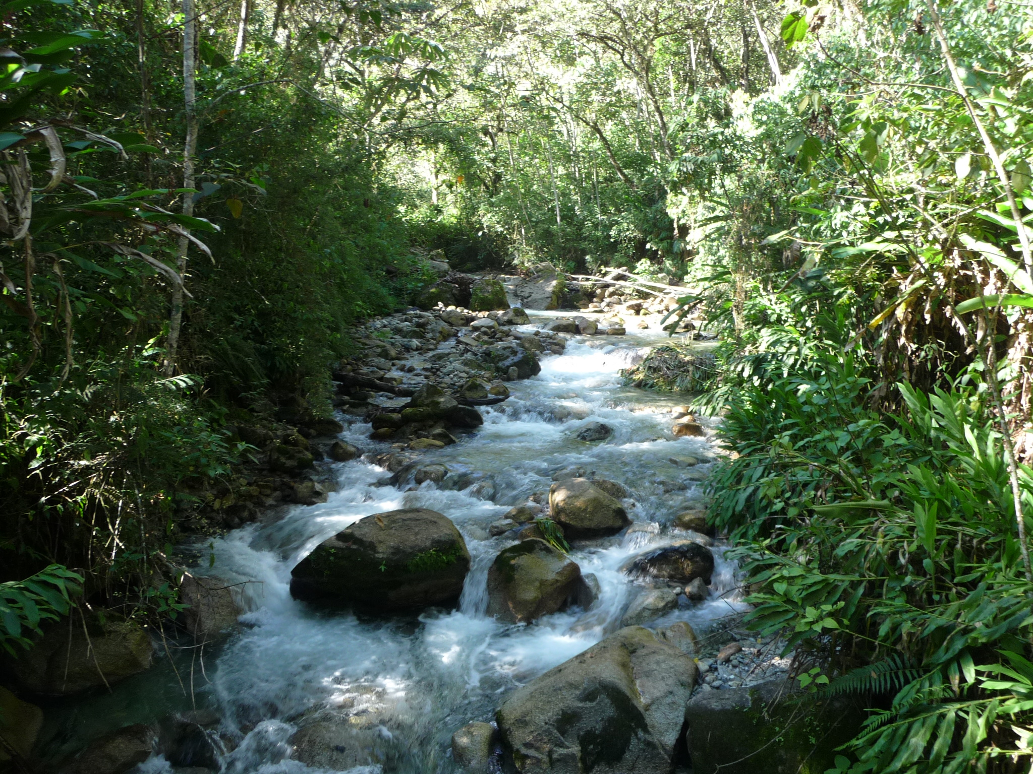
This is a stream that flows below the falls.
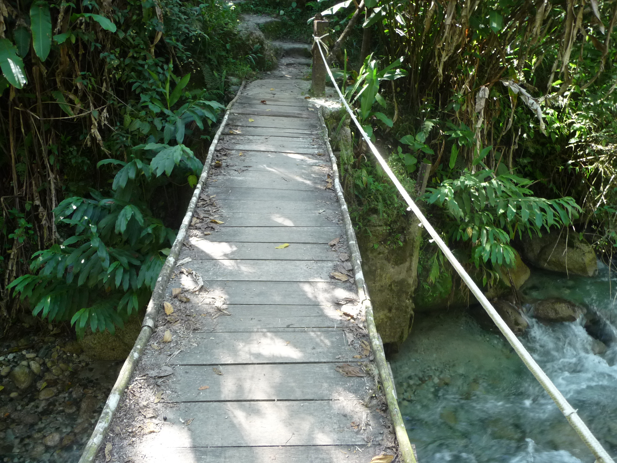
Crossing a wooden footbridge across the stream.
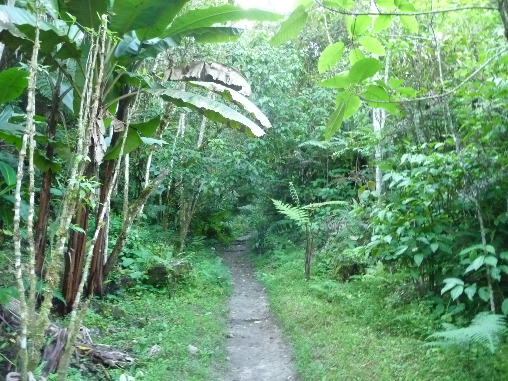
Walking up the small trail. It is a nature trail, with labels on various plants along the way. Near the end, the trail moves into uncut virgin rainforest.
Continuing deeper into the jungle.
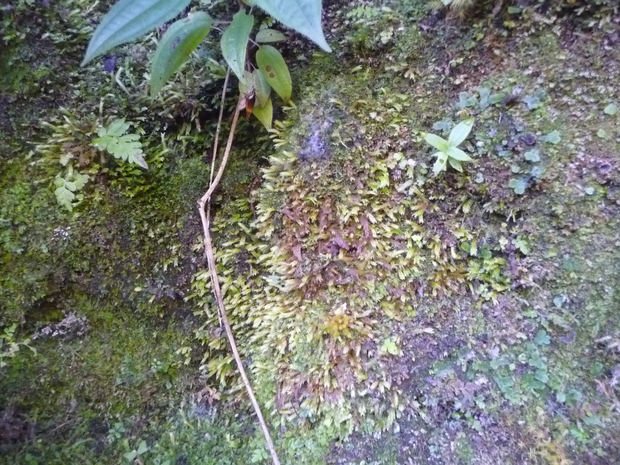
Interesting plant growth on the ground.
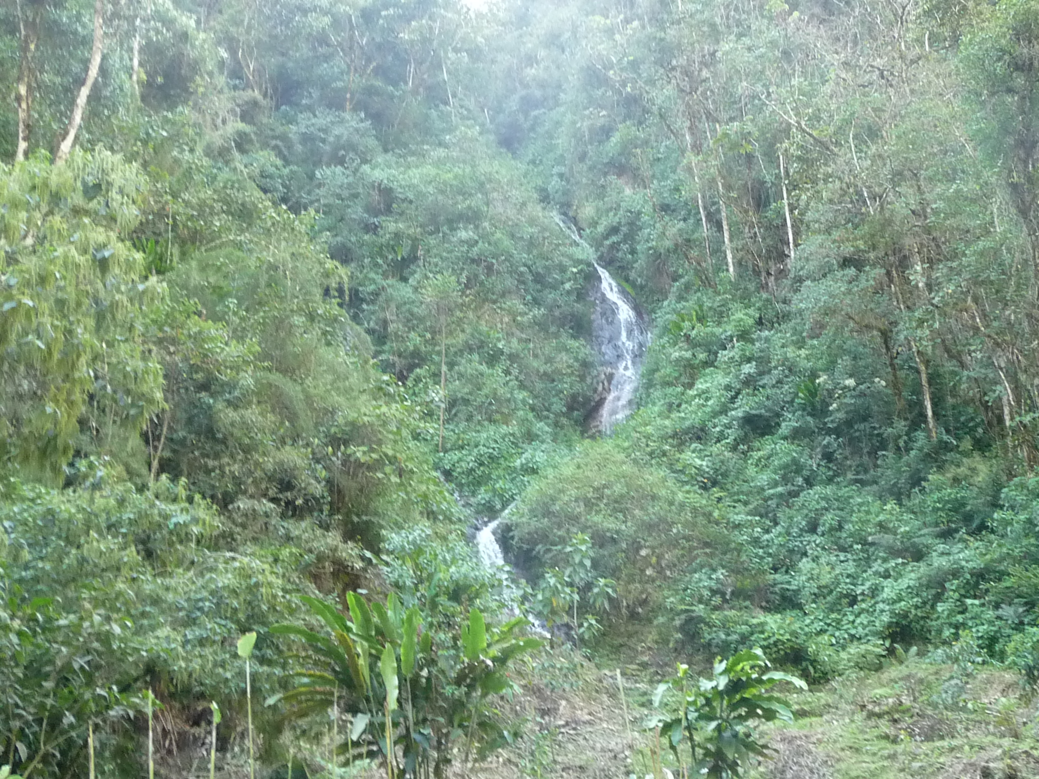
There are actually two waterfalls. This is the first. It is small, but steep …
… and in a very gorgeous setting.
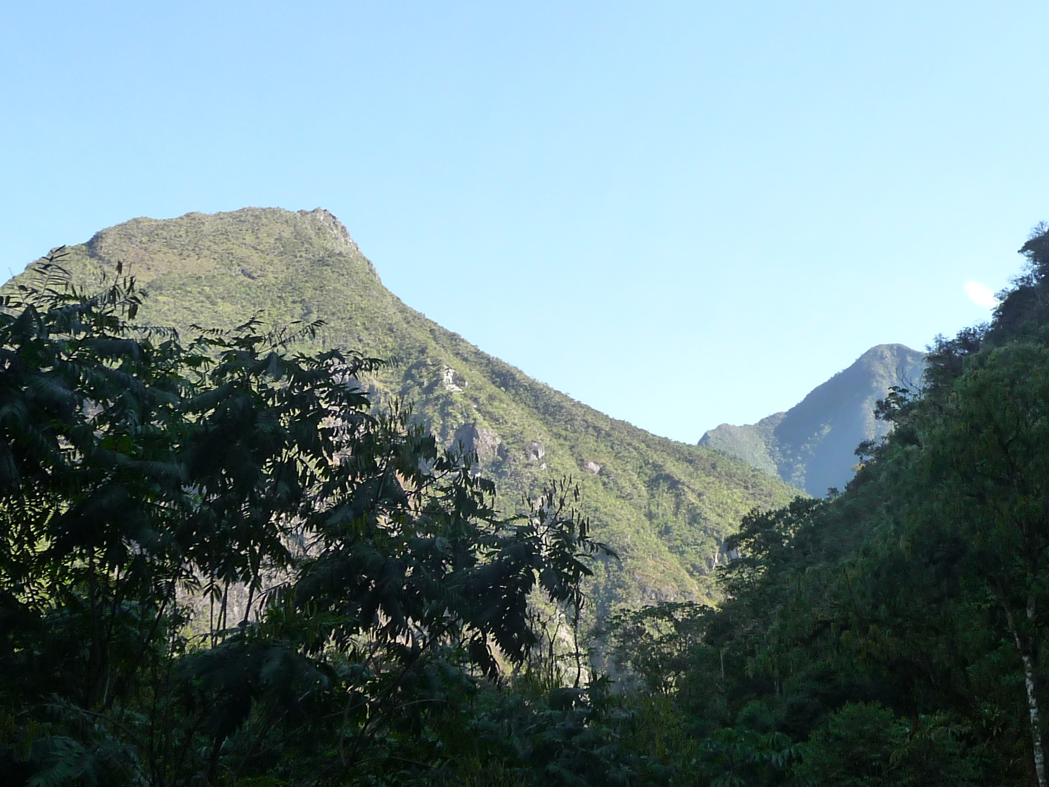
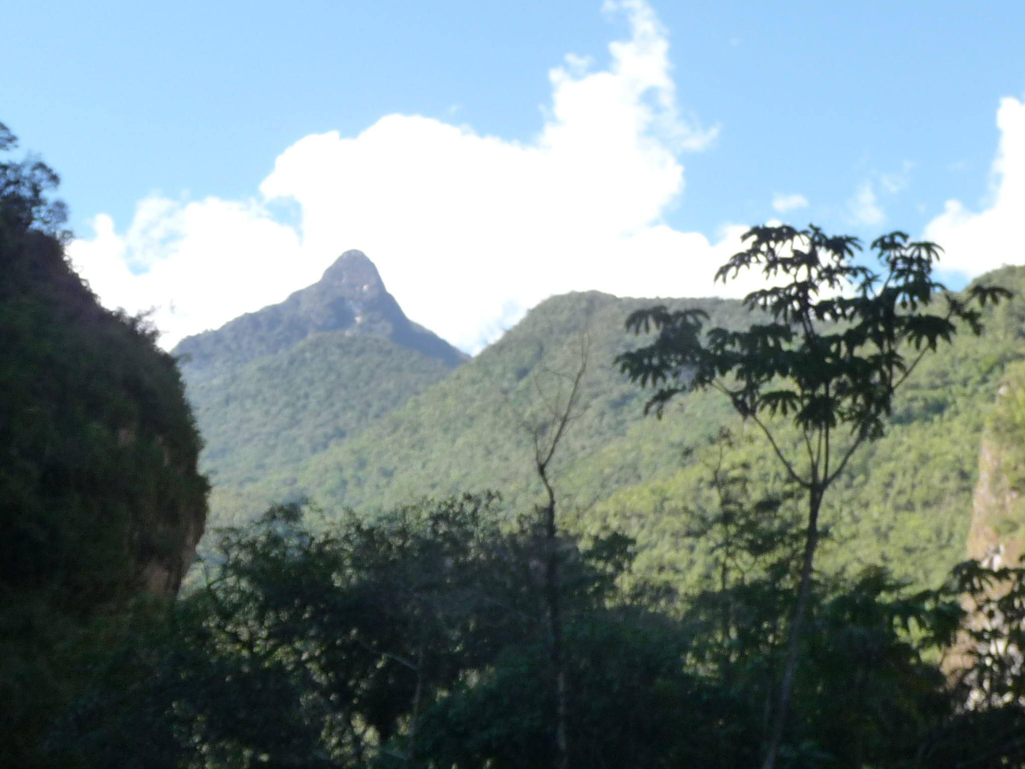
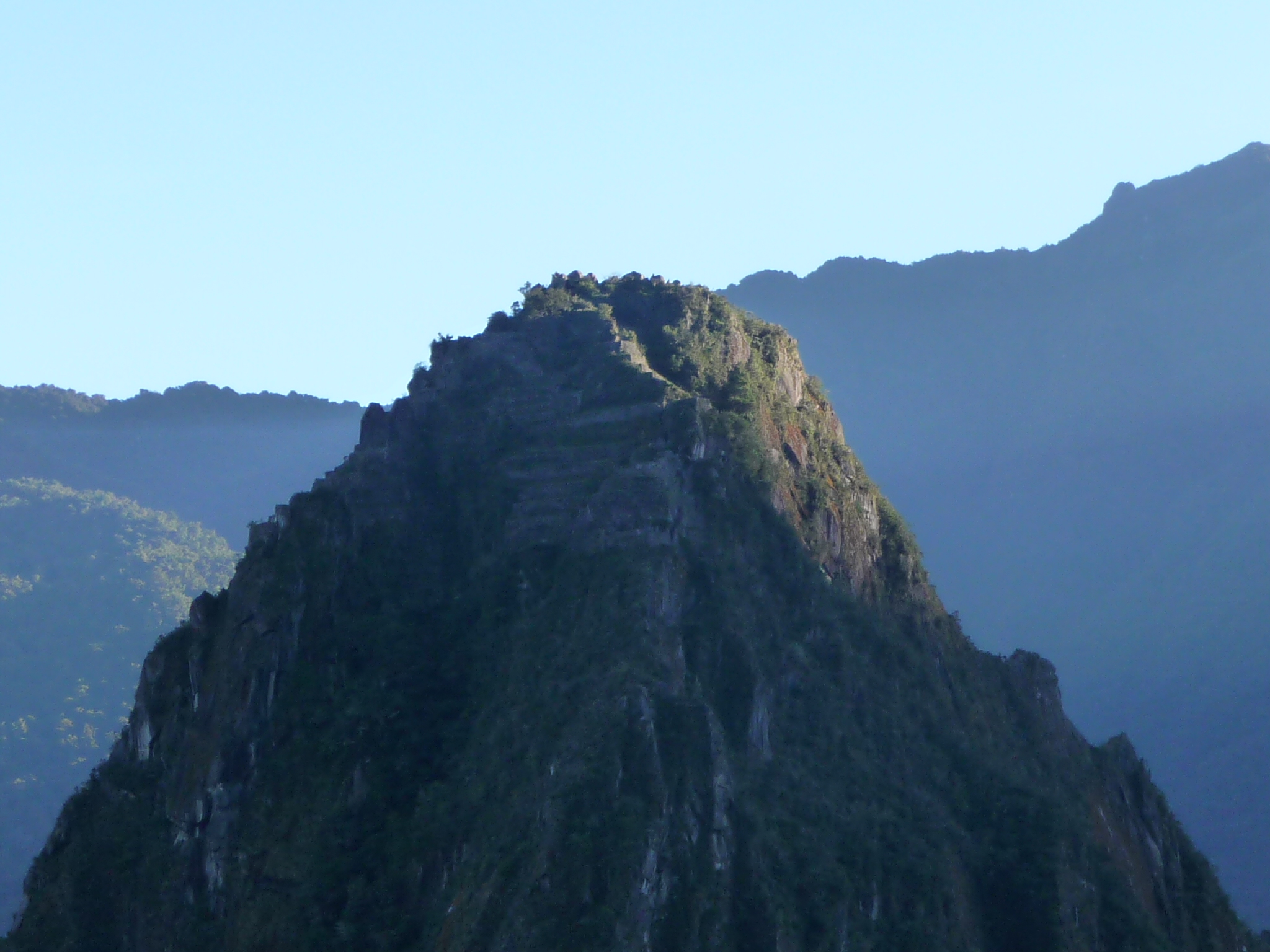
I stop briefly by a little view area that says “Wayna Picchu Viewpoint” … I take this photo, not sure at the time which mountain was Wayna Picchu. I now realize it is the near one in the foreground, on the left. This is the backside of the mountain, and looks quite different from the view in all the famous photos.
When I climb to the top two days later, I take the long way around (a four hour loop). In that loop, i actually hike about 1300 feet down the back and around this side of the mountain. From that hike, I later look down and see the area where I am now standing. That hike then climbs back up several hundred feet to return to the ruins of Machu Picchu on the other side.
Someone had built this rock spiral along the trail. It is very moist here, so a lot of moss is growing on the rocks.
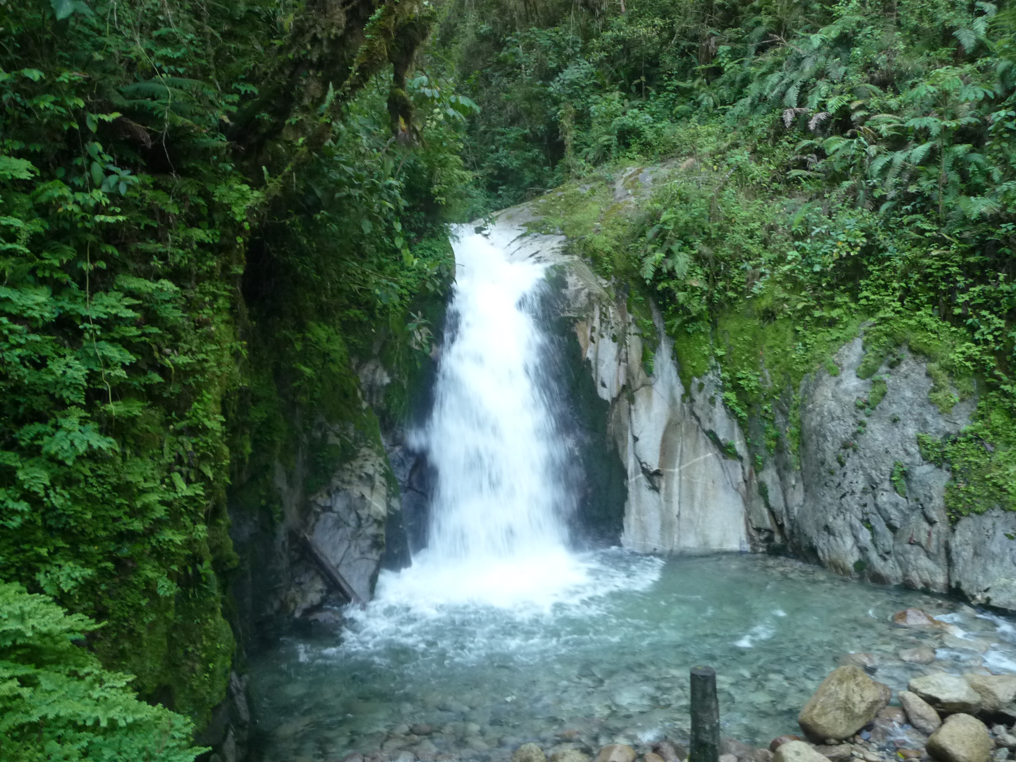
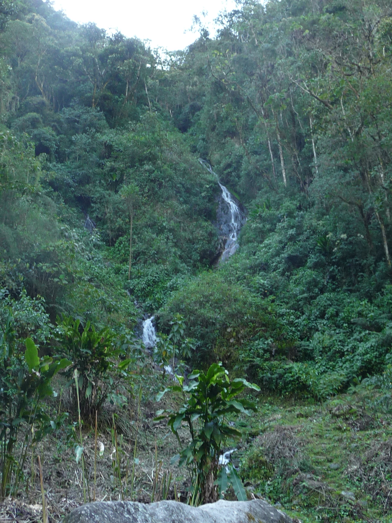
This is the second waterfall. It is quite powerful, with lots of spray blowing over, even reaching where I am standing.
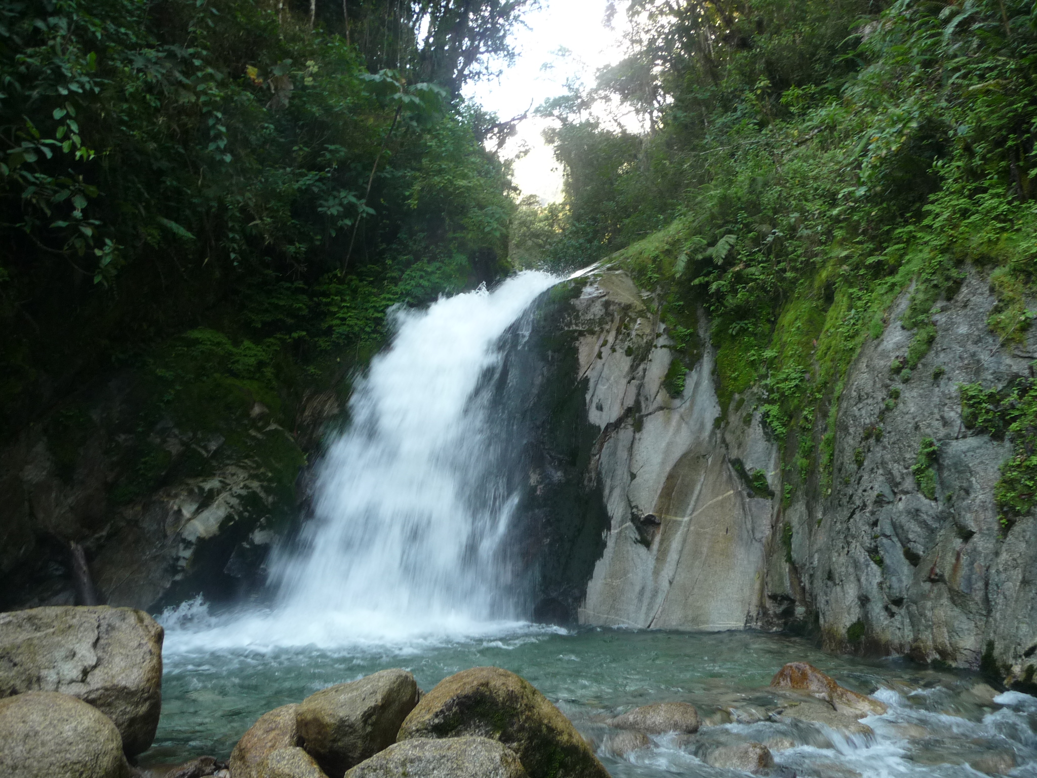
Another view. I remain here for perhaps twenty minutes before deciding I should head back to Aguas Calientes while the sun is still warm.
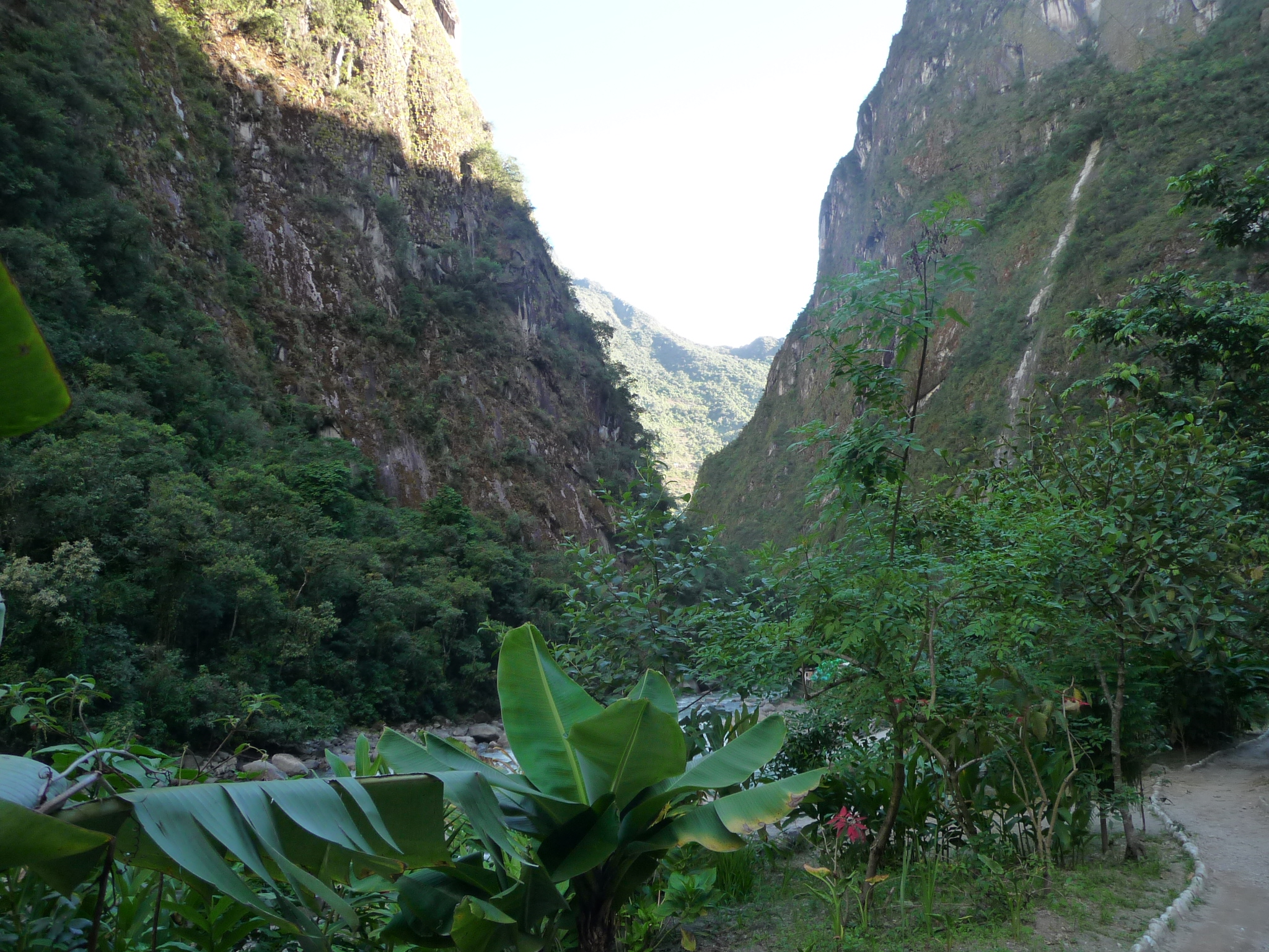
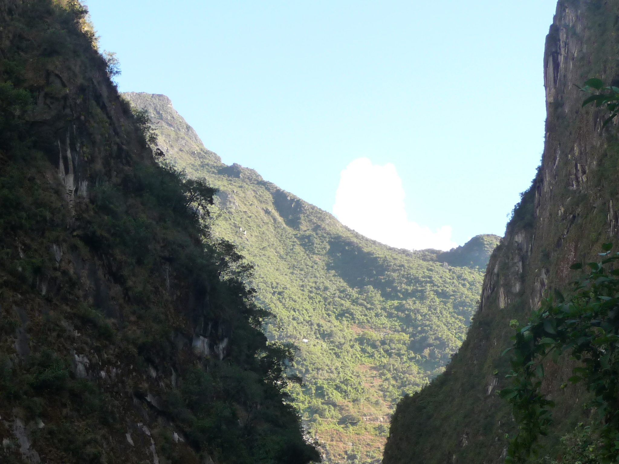
On my return trip, as I get close to Aguas Calientes, I take this photo. You cannot see it here, but Aguas Calientes is right at the bottom of the “V”.
In this photo, taken just a little further up the road, you can see some of the buildings at the near end of Aguas Calientes. The mountains here are gorgeous.
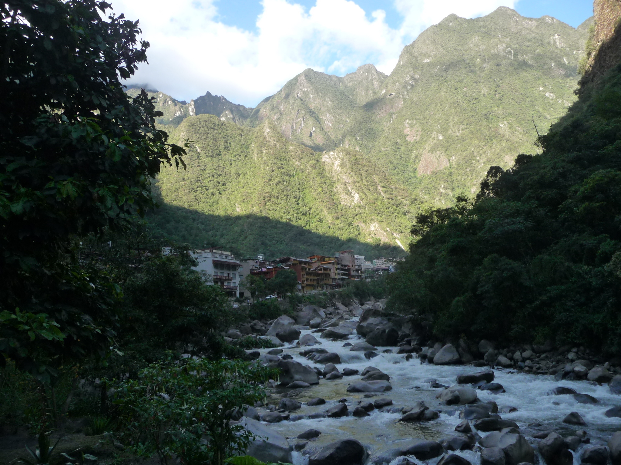
And one last similar shot. This one was taken when I was very close to the town.
Machu Picchu Sunrise
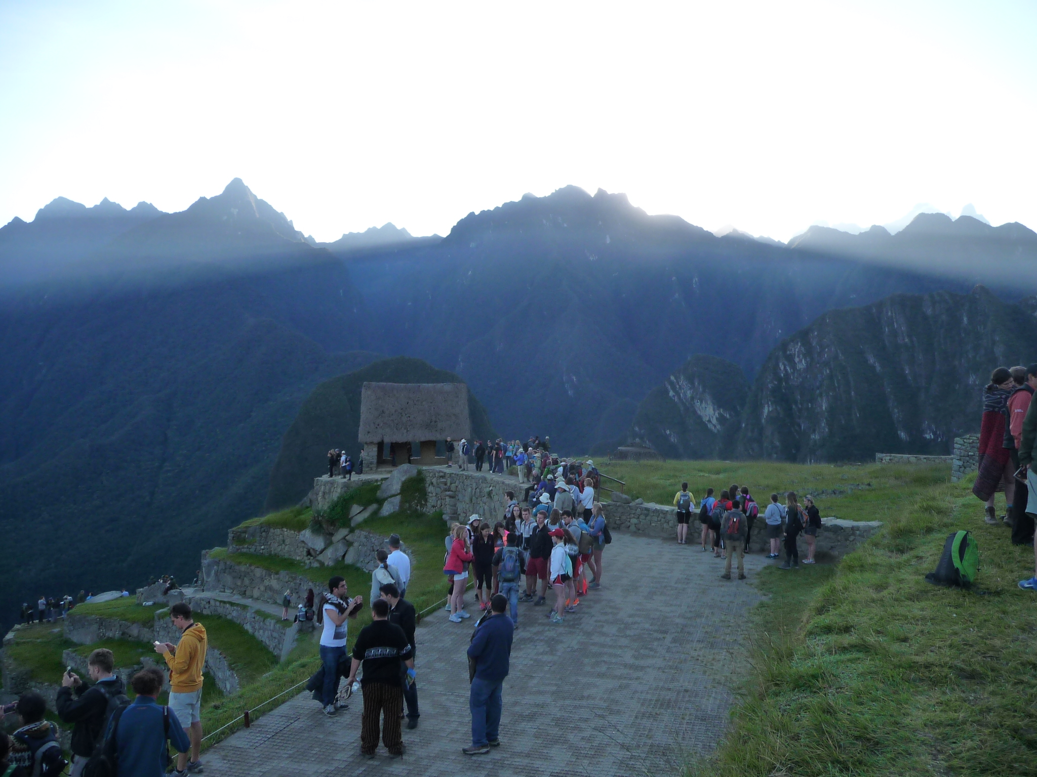
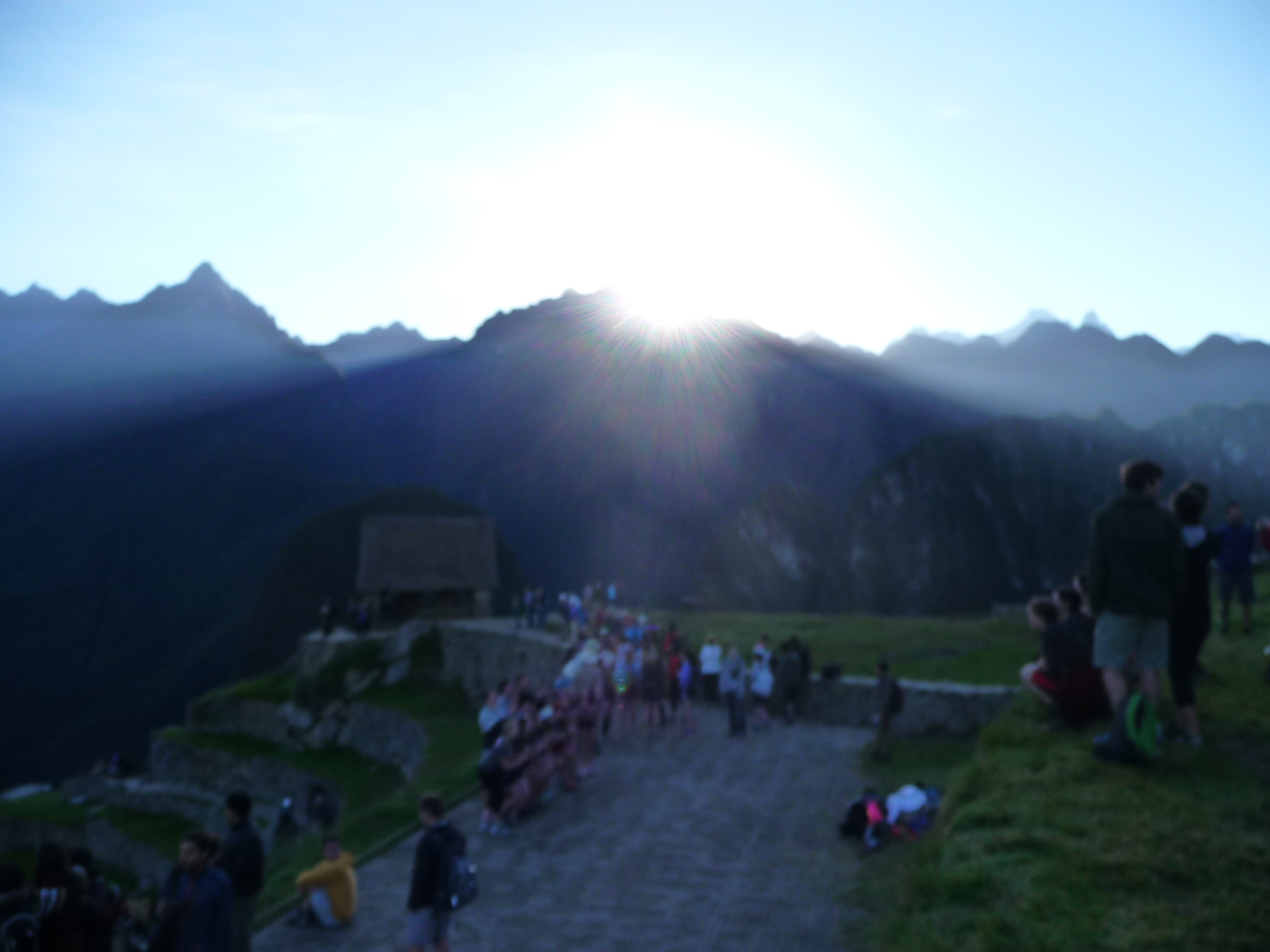
Early the next morning, at 5:00 a.m. on Sunday, June 1, 2014, I walk down and get in line to catch a bus to go up to the ruins. The buses cost about $20 US for a round trip. I am shocked by how many people are already lined up in front of me. It looks like at least several hundred people in a line that already stretches a couple hundred feet up the road.
The first buses leave at 5:30 a.m., and they fill them as fast as they can until the line fades. I do not count, I am guessing that at least seven or eight full buses leave in front of me, before I finally get on a bus.
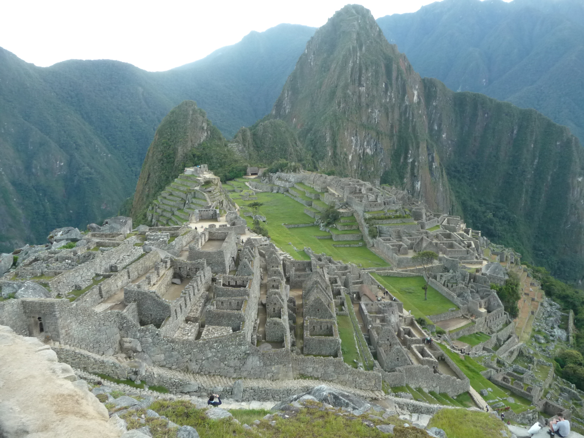
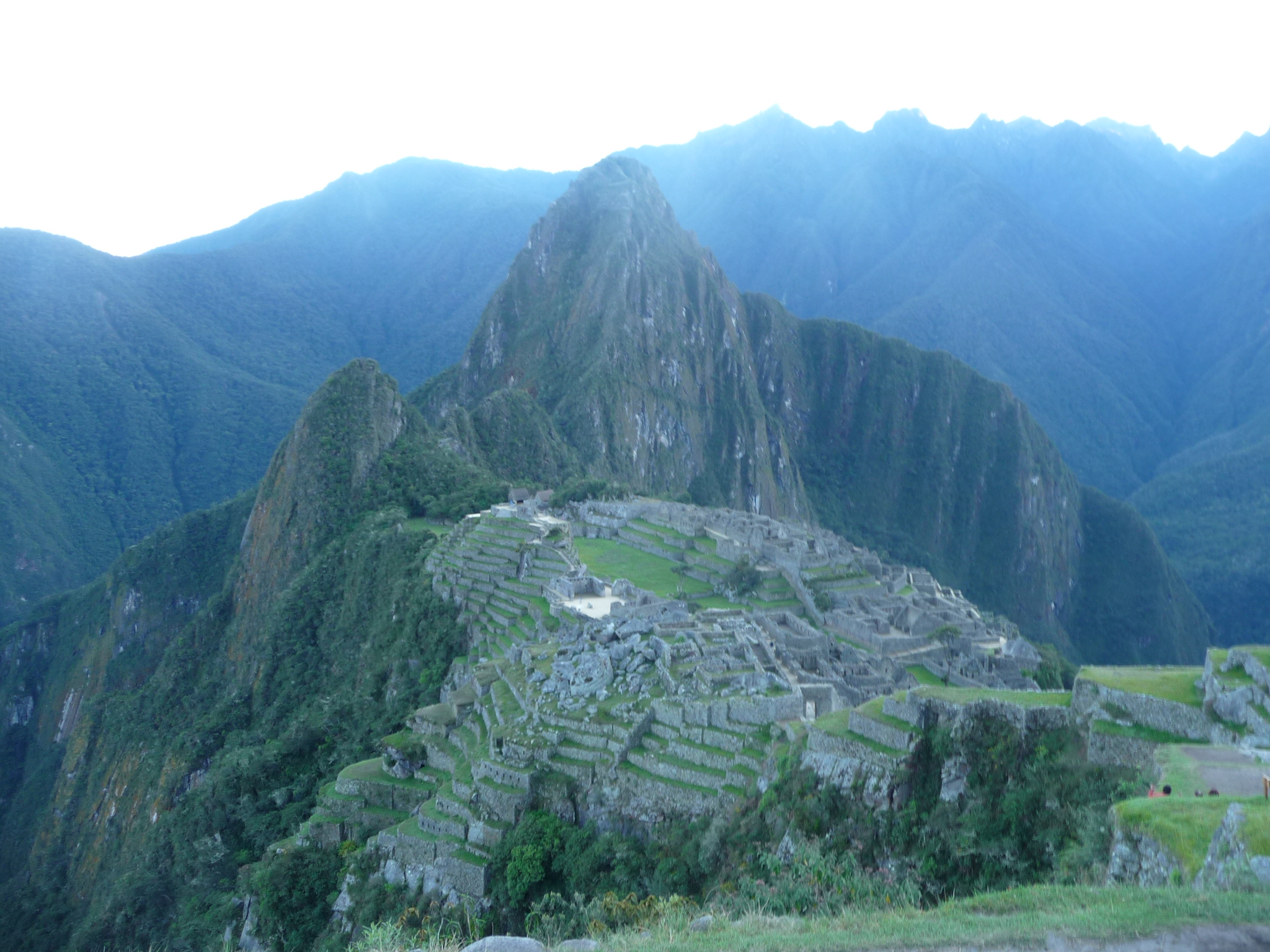
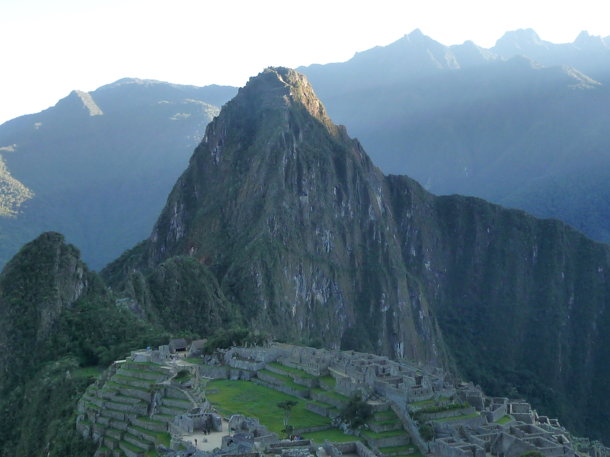
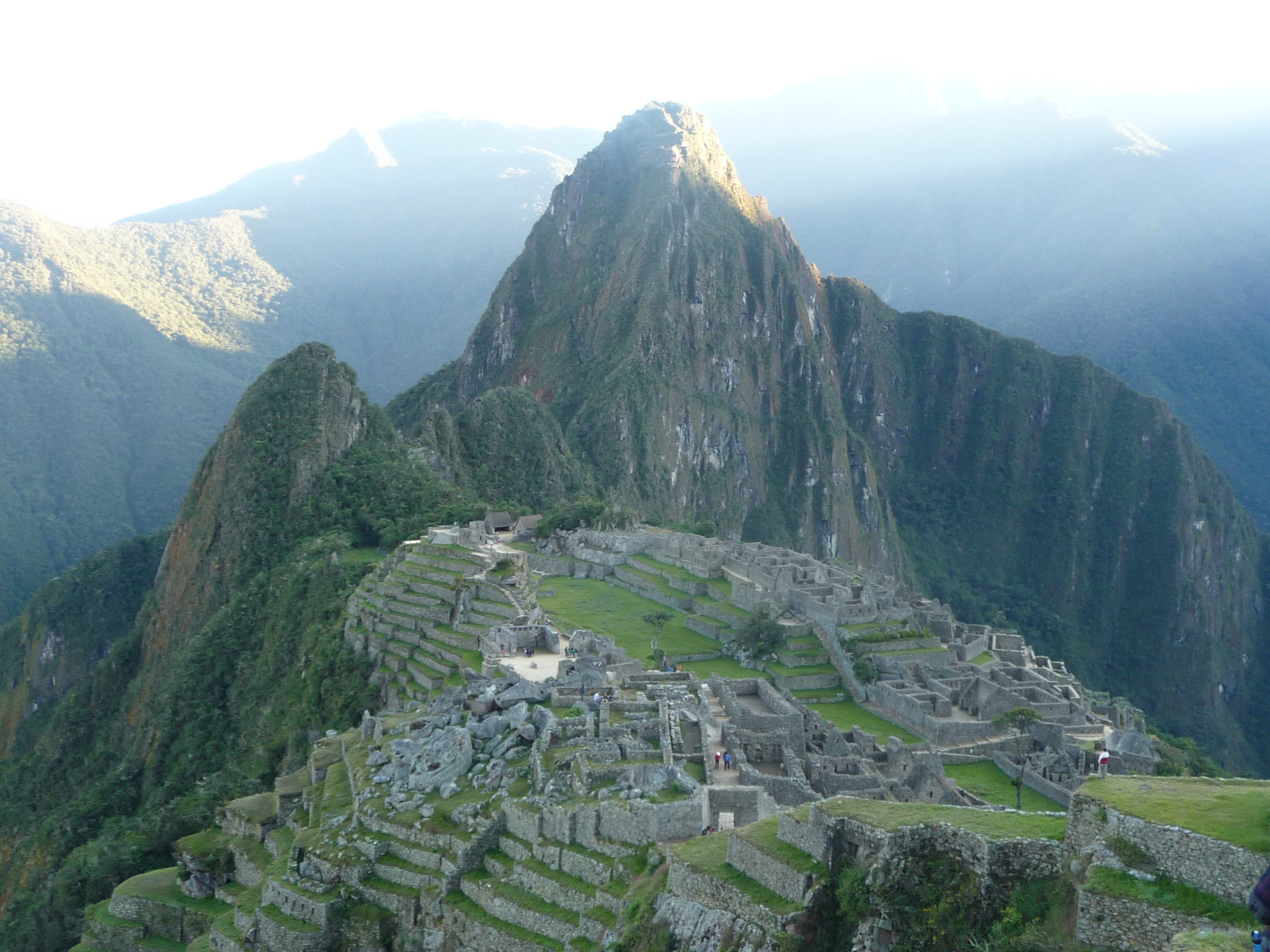
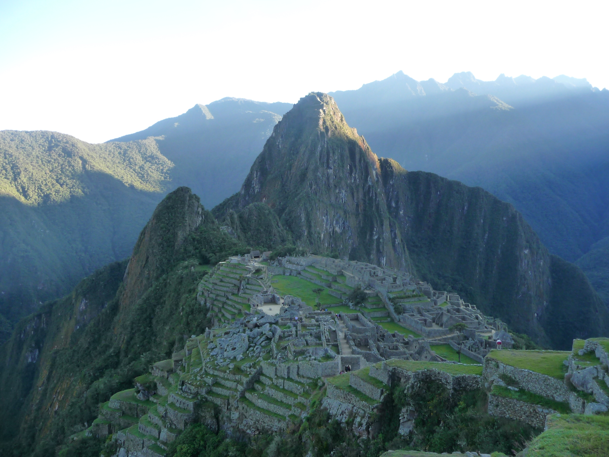
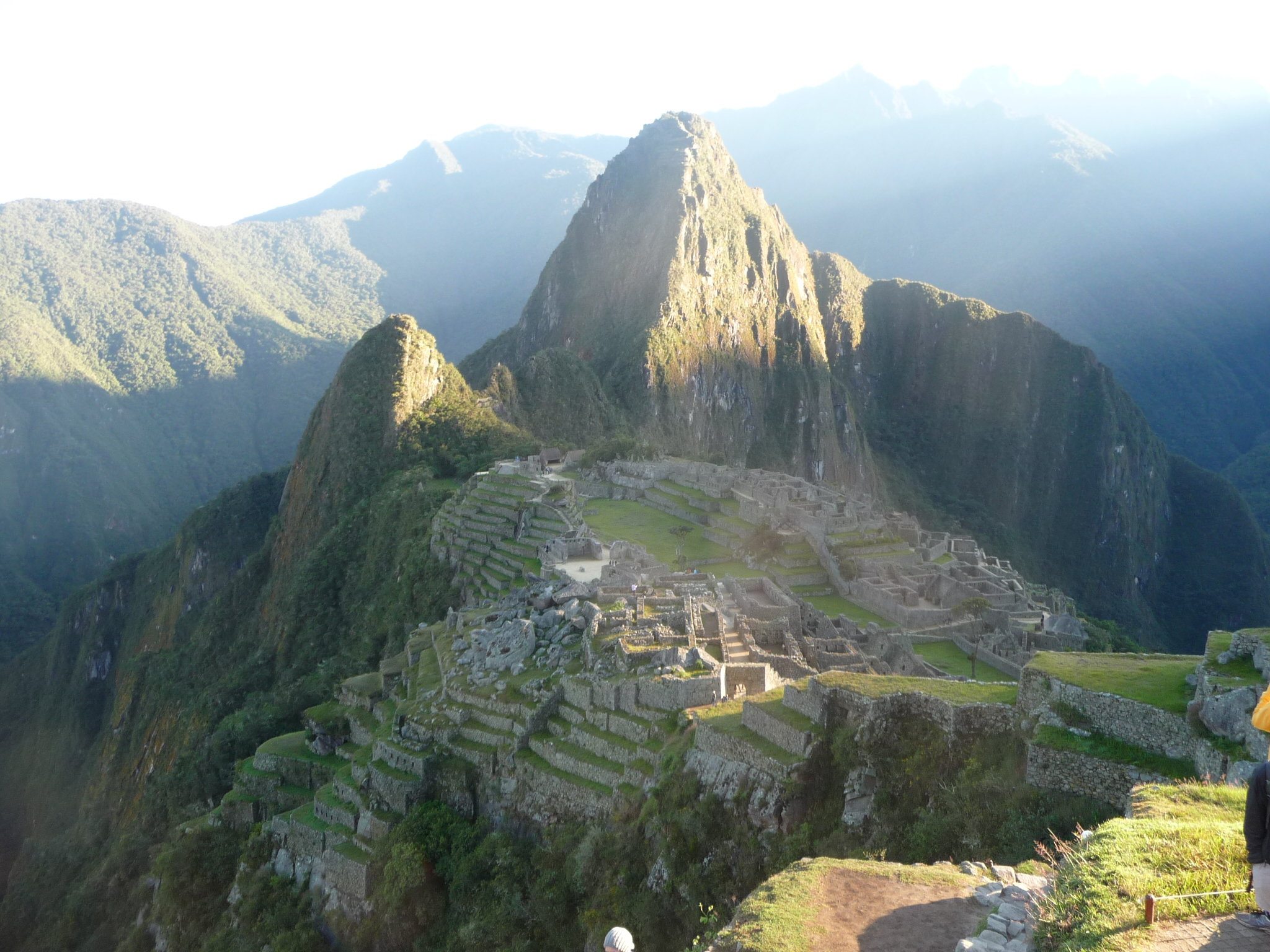
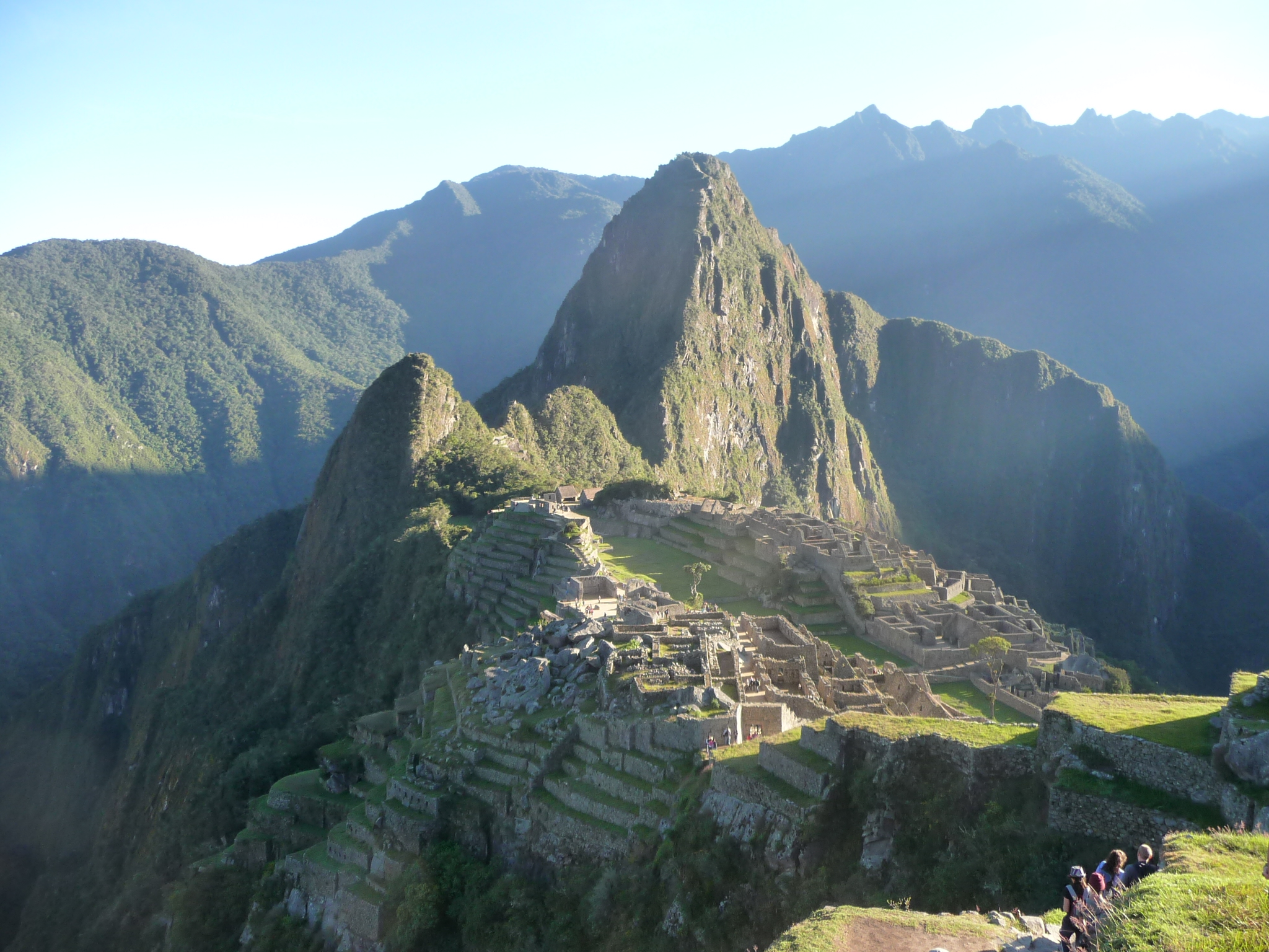
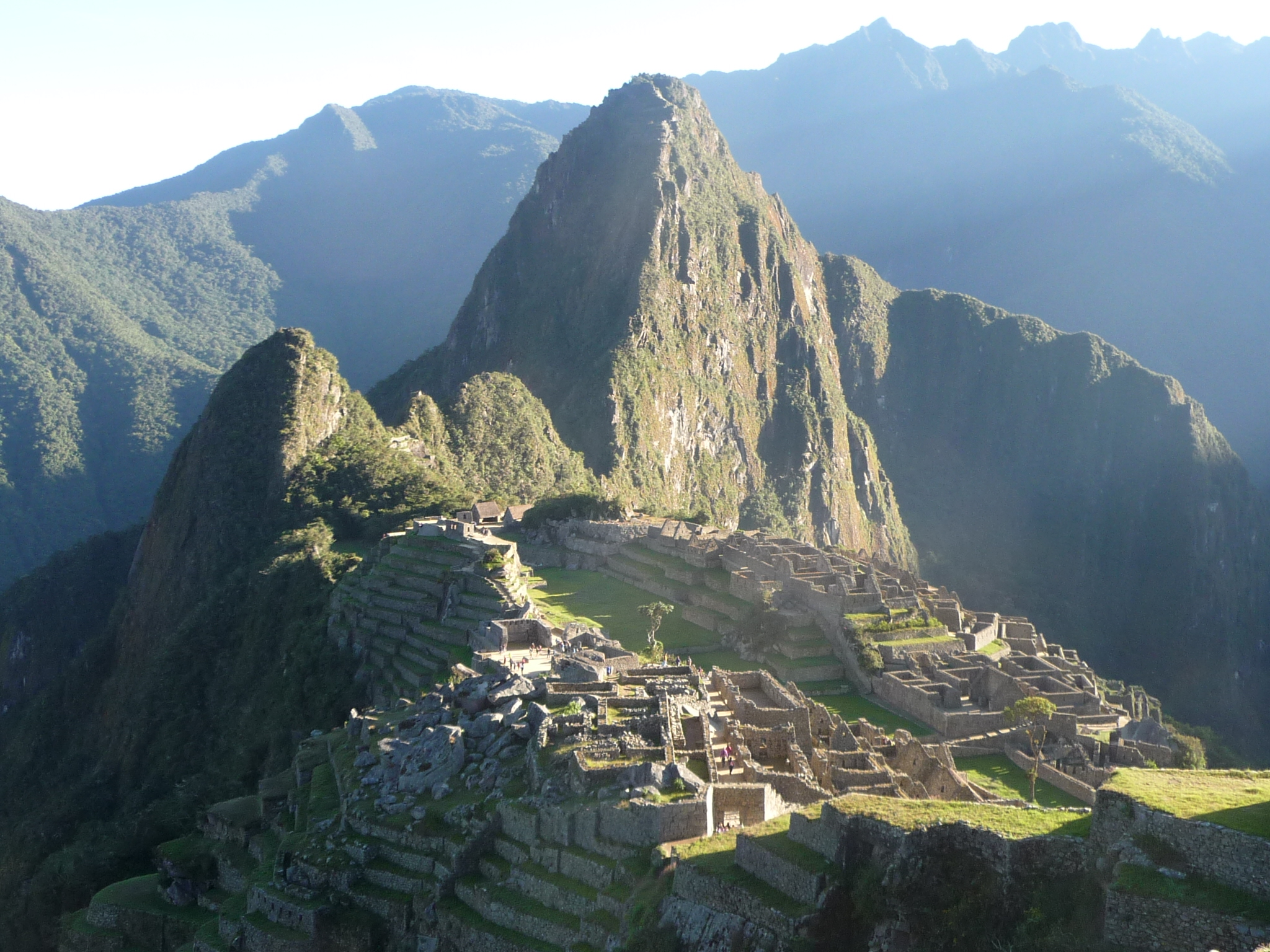
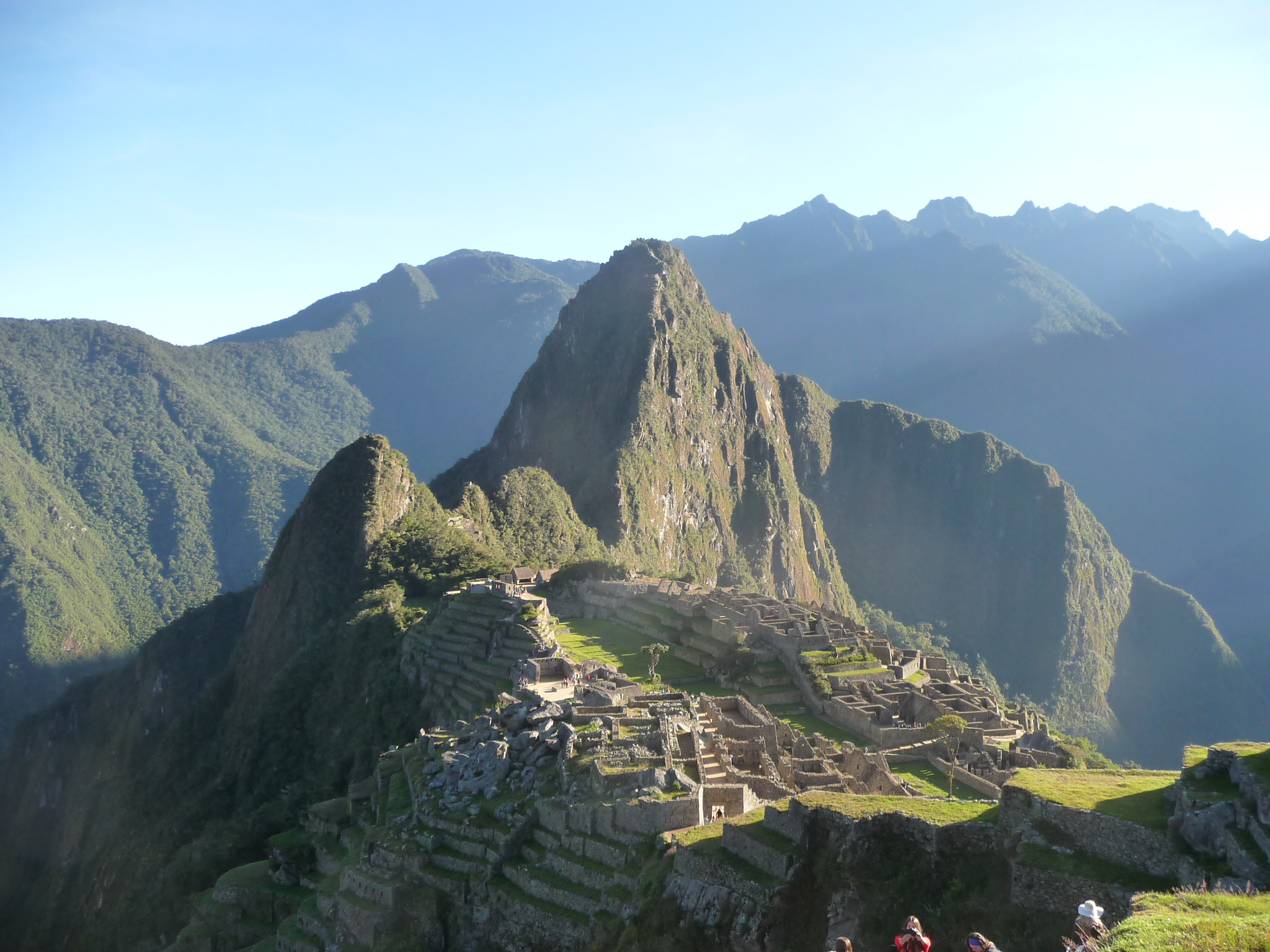
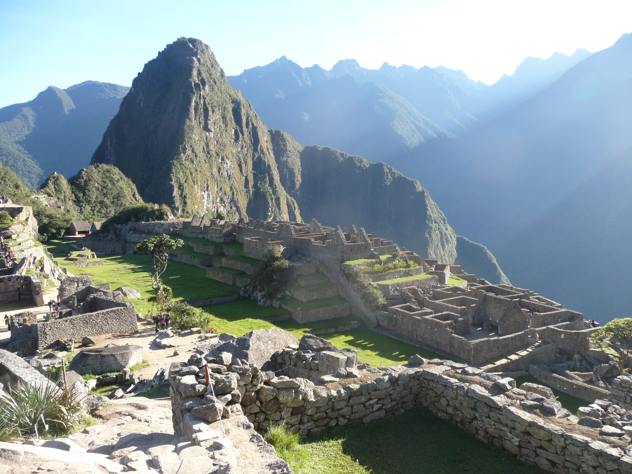
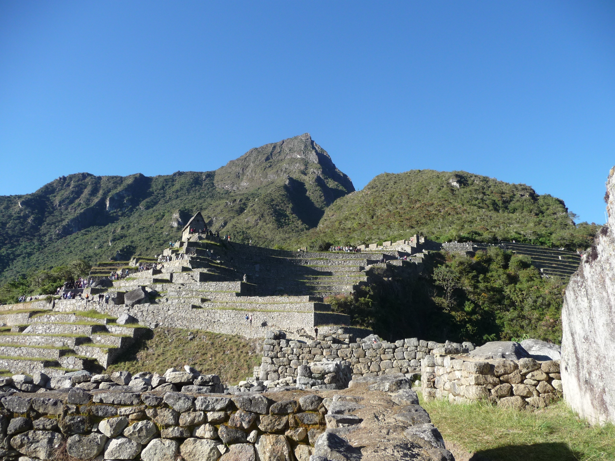
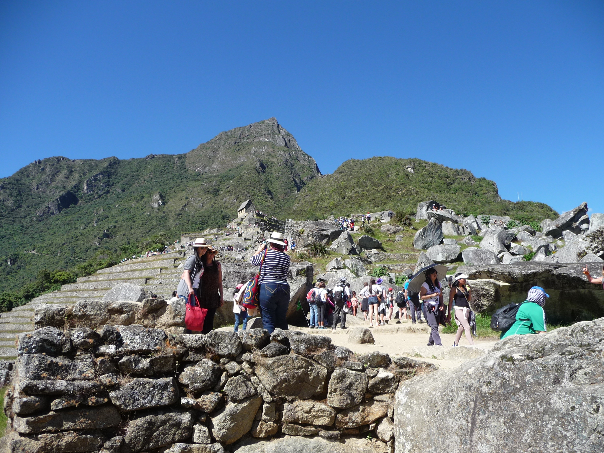
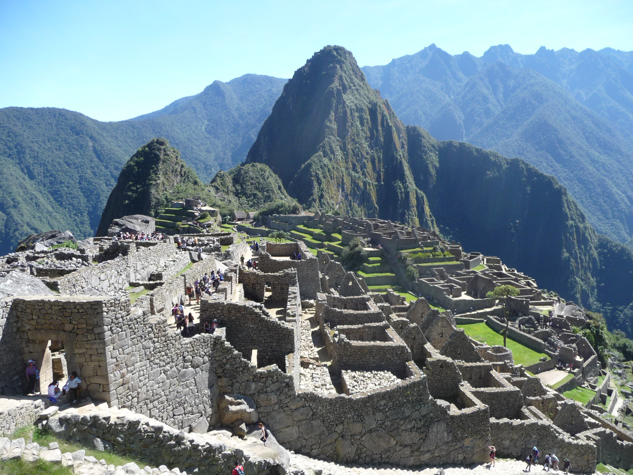
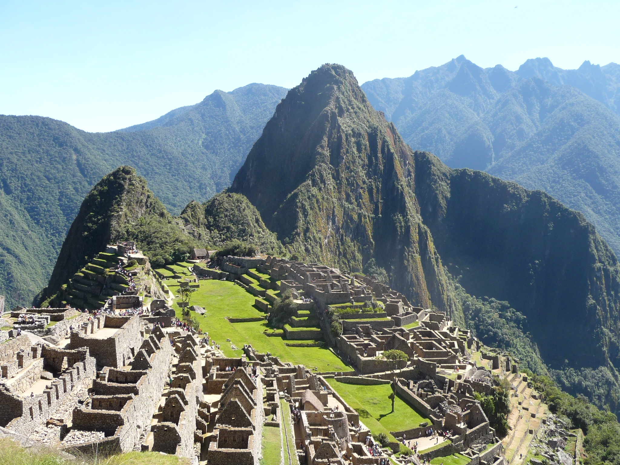
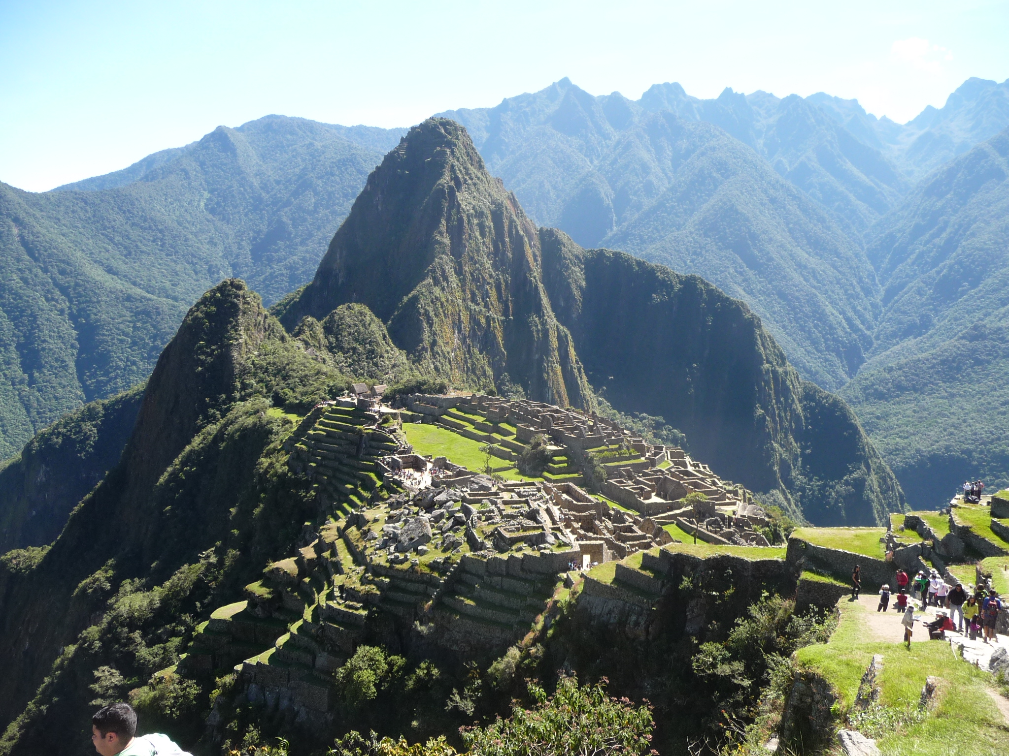
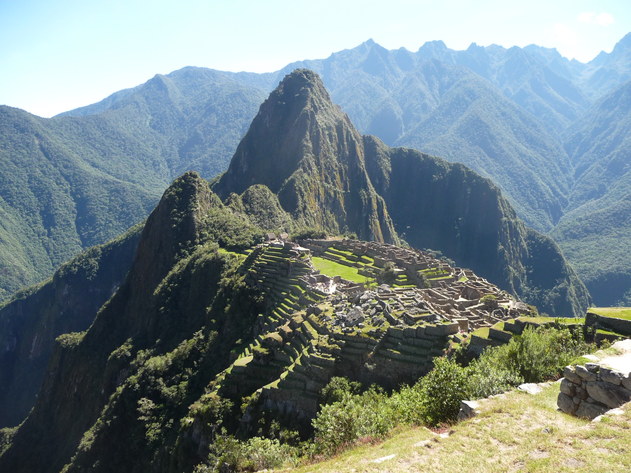
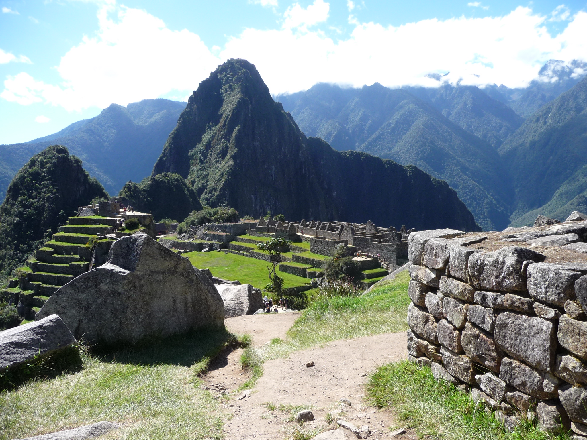
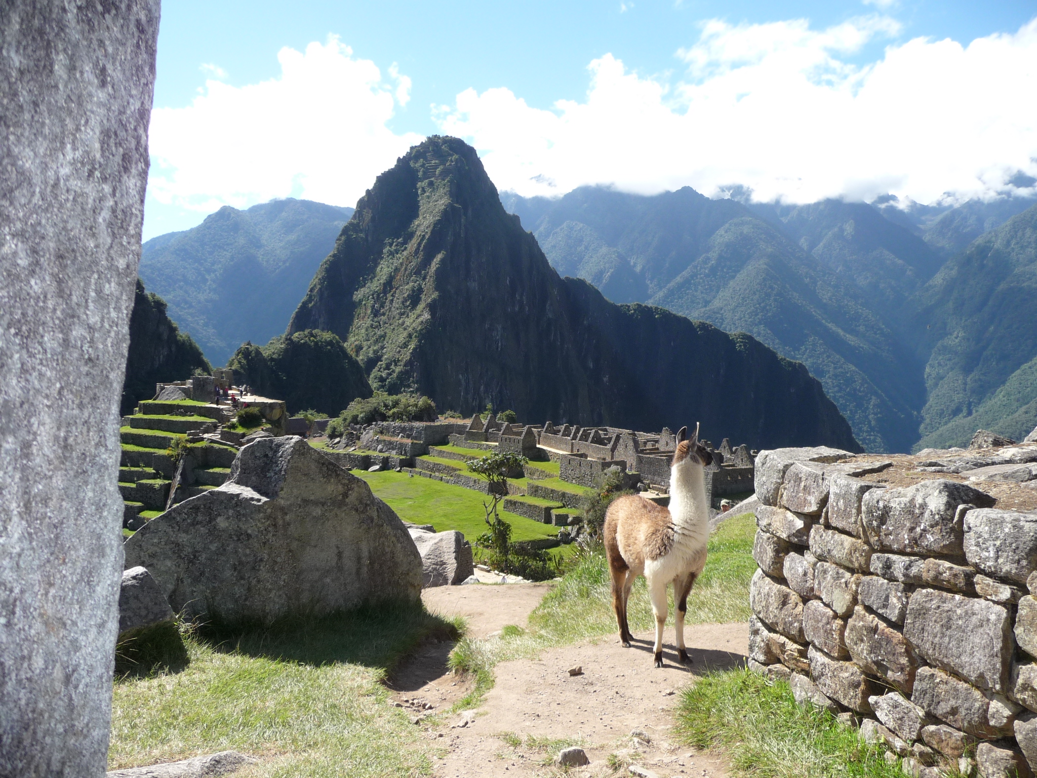
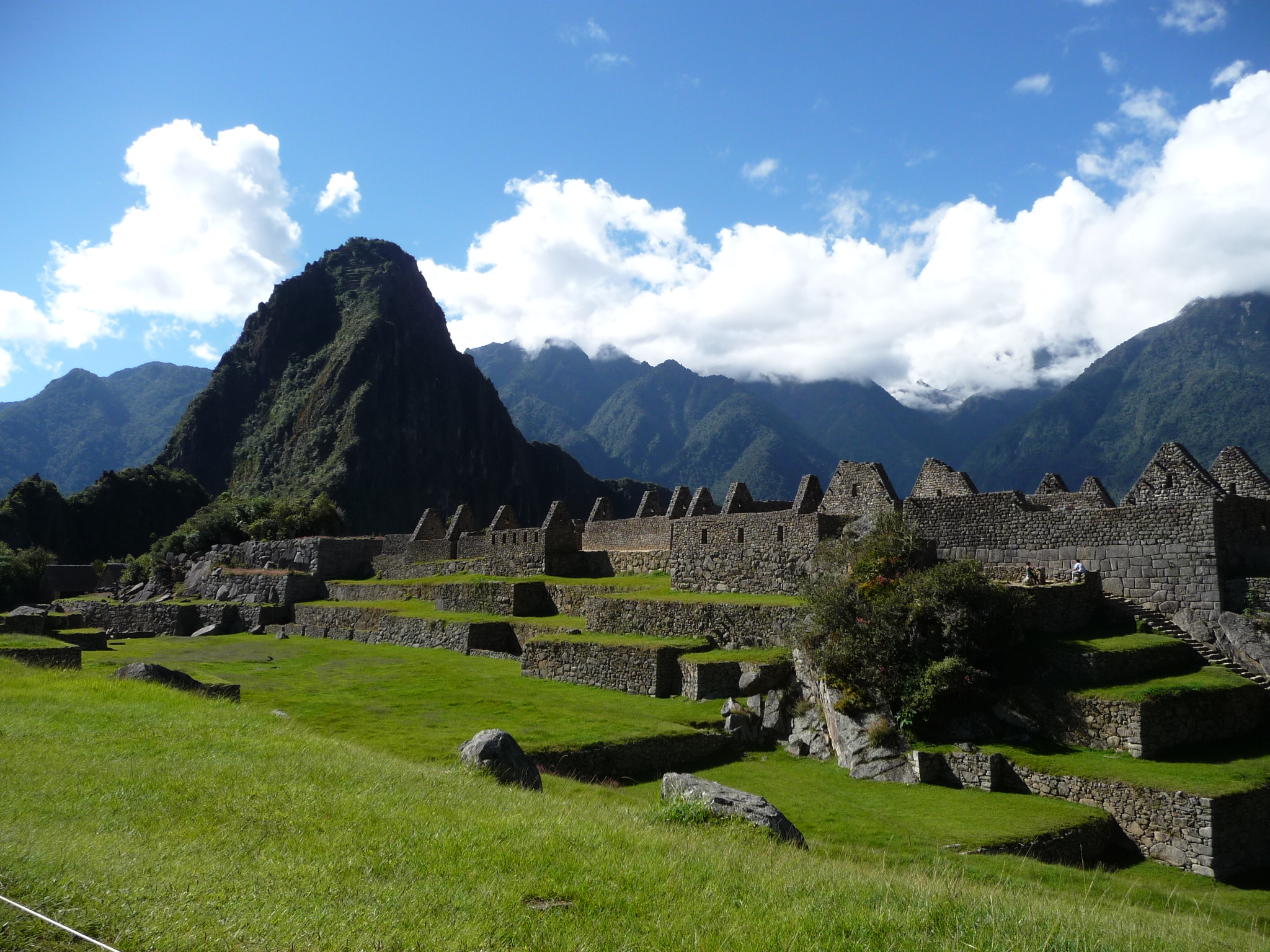
At just before 6:00 a.m., I finally make it through the entrance gates and am hiking up into the ruins. My first stop is on my way to the “Caretakers Hut”. This is the general area from where all of the famous photos are taken. It provides a gorgeous view of the ruins themselves (from above), including the Wayna Picchu mountain behind the ruins.
From this spot, I sit and watched the sunrise, while snapping constant photos, hoping to get some perfect angles. Please forgive me, but I am too lazy to weed out the best ones, so I am including most of the photos that I took. Each looks quite similar, but there are subtle difference with lighting etc, as the sun gradually rises.
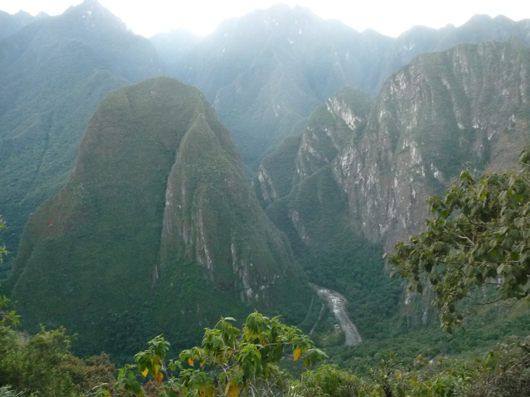
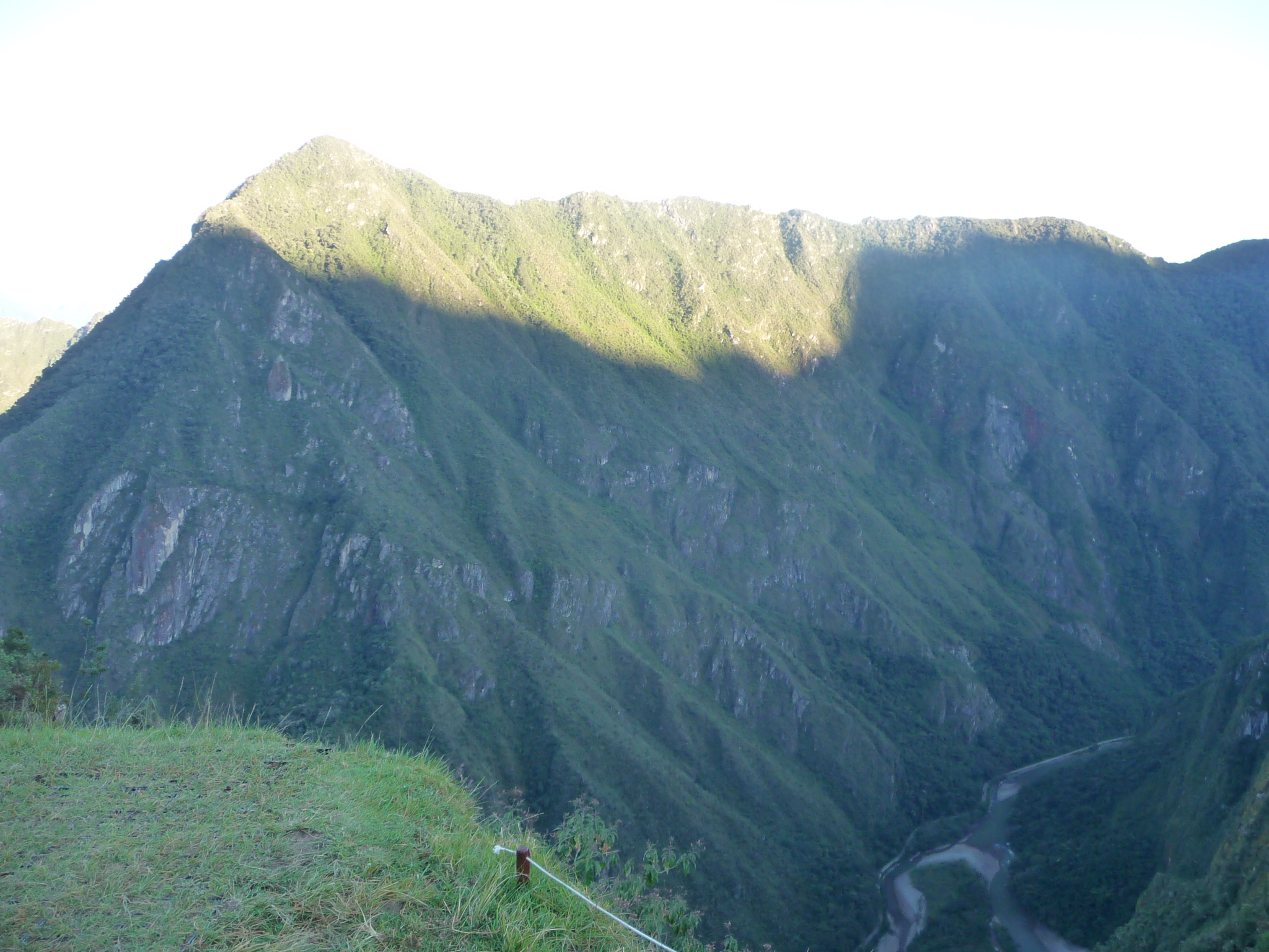
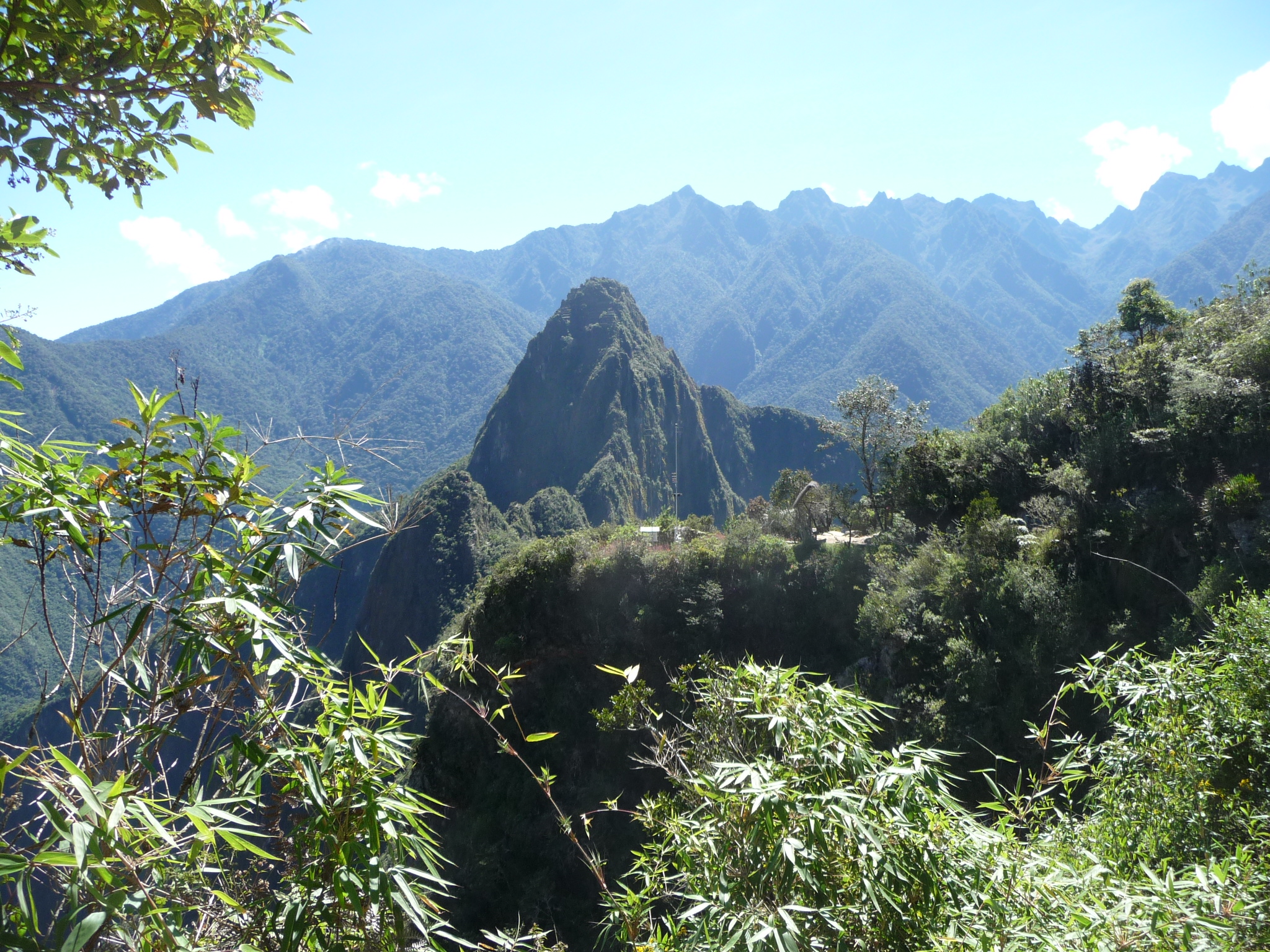
With the bright blinding sun glaring over the distant mountains to the east, the near mountain on the lower left is one that can also be climbed. I don’t remember the name. It stands between Machu Picchu and Aguas Calientes, which is up the canyon to the right of that mountain, following the river.
This is on my way up toward the caretakers hut. That mountain in the background is the famous Wayna Picchu. I will climb it tomorrow.

In this photo, I am part of the way up the trail toward the caretakers hut. This is already a gorgeous view of the ruins with Wayna Picchu in the background. At this time, the sunrise has not yet happened.
Similar, with different zoom and lighting. I am still only part of the way to the top.
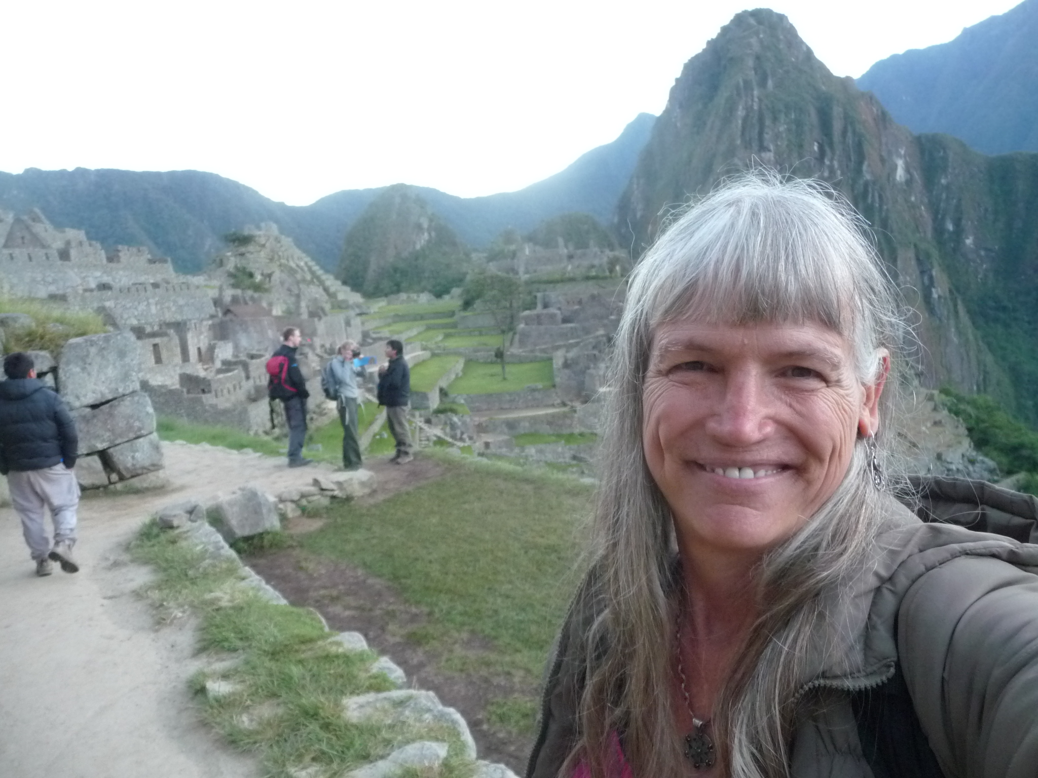
A self-portrait, still before sunrise.
An alpaca, near the caretakers hut.
Another angle taken from the level of the caretakers hut … still before sunrise.
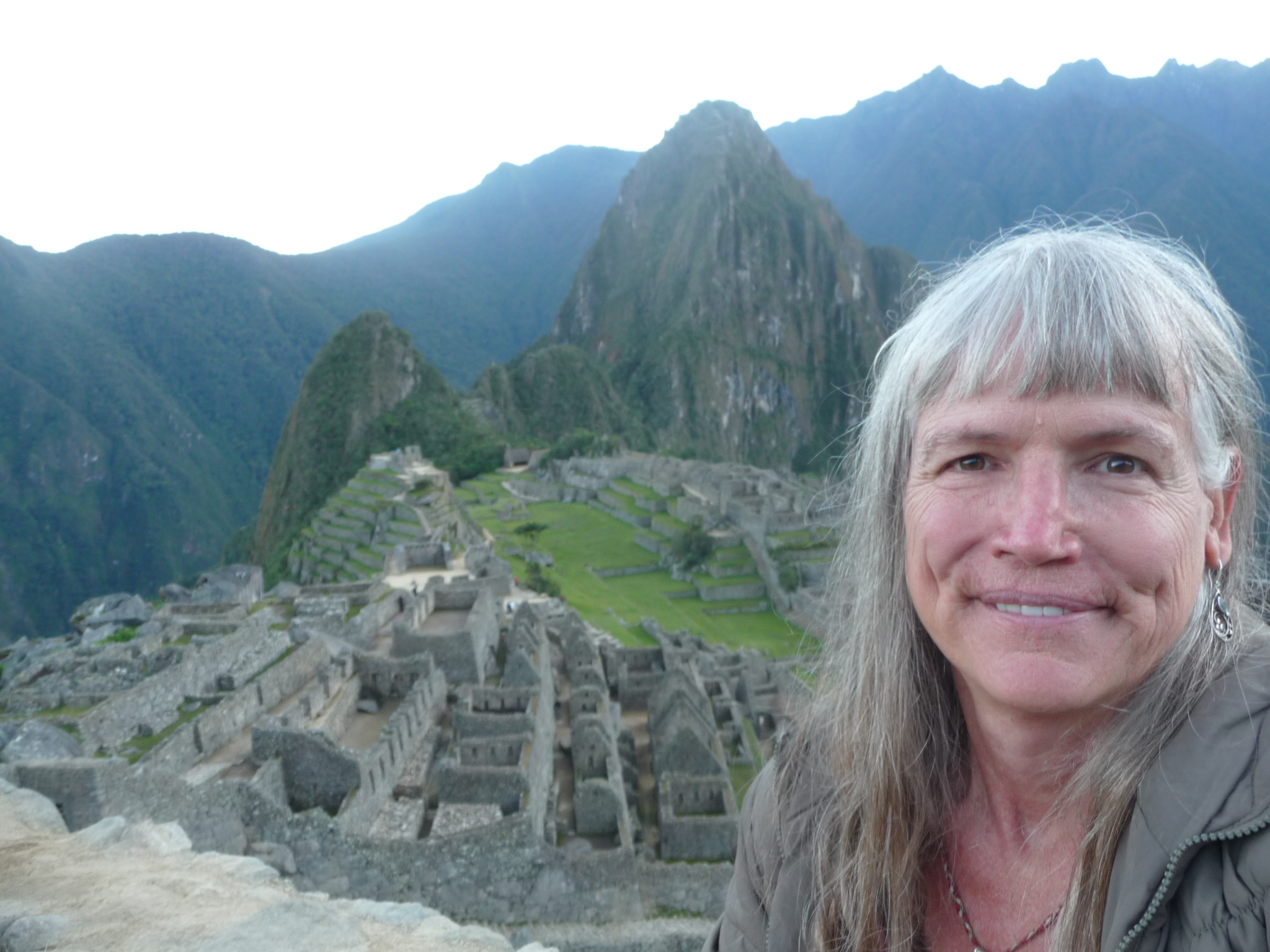
And another so-so attempt at a self-portrait. If you click on the photo to enlarge, you will see my entire face.
I like this one a little better … to see my face, click on the photo.
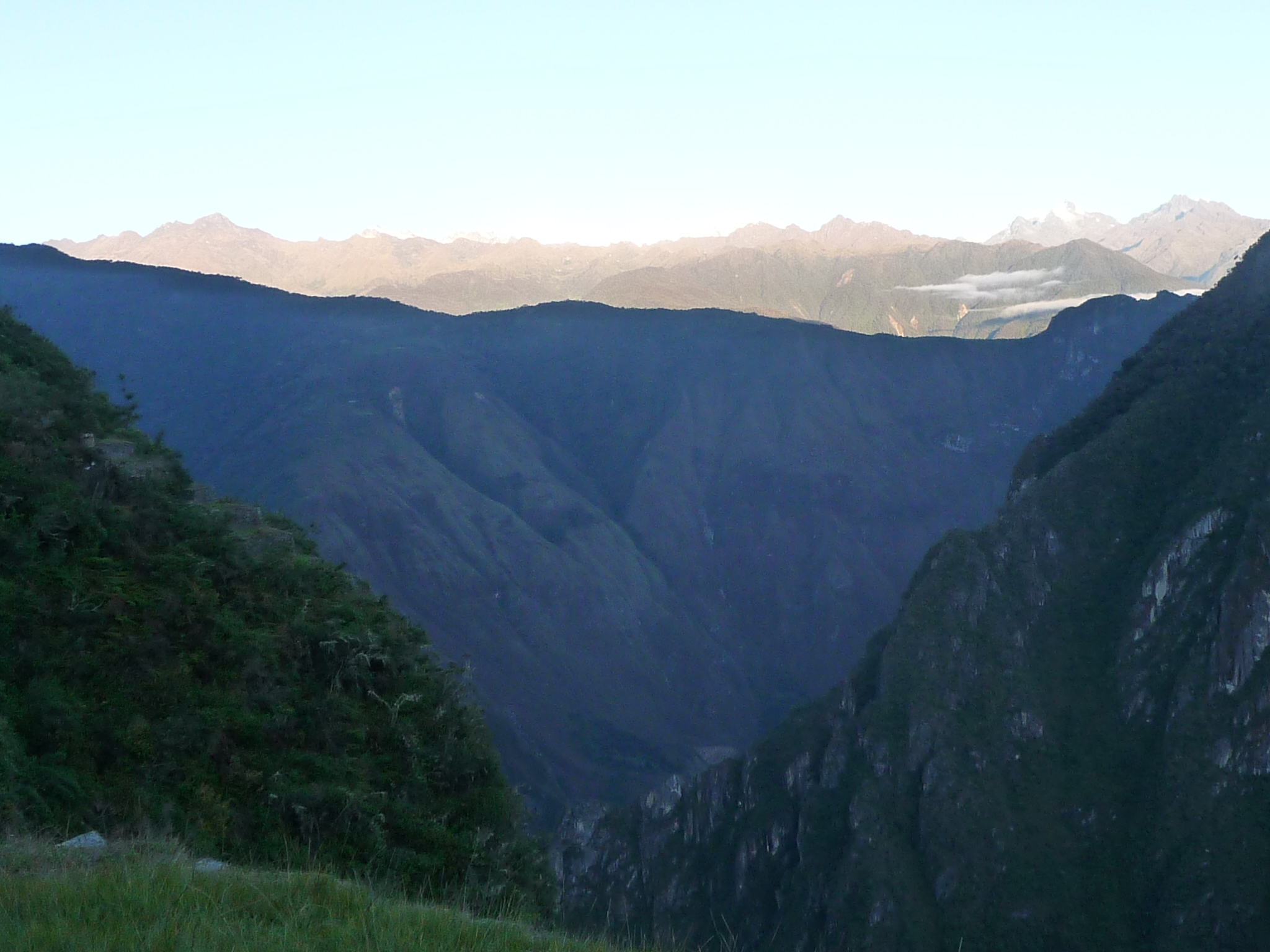
Looking to the west, toward the hydroelectric plant (at the bottom of the canyon) … and you can see that the sun has already risen on the distant taller mountains.
Looking down the canyon with the bright glow of pending sun in the sky above. If you look closely you can see a speck of white in the lower center. that white streak is a river (click on the photo for more detail). When I hiked to the waterfalls yesterday, I followed the train tracks along this river, around the base of Wayna Picchu (near mountain on left), and on to the backside of Wayna Picchu.
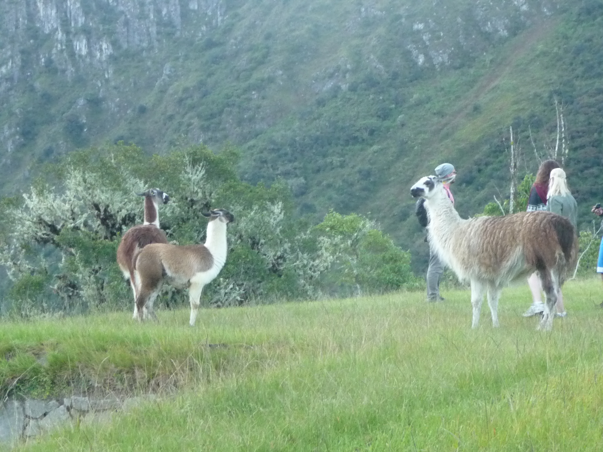
I’m not fully sure if these are llamas or alpacas, but I believe they are alpacas. There are several of them grazing up by the caretakers hut.
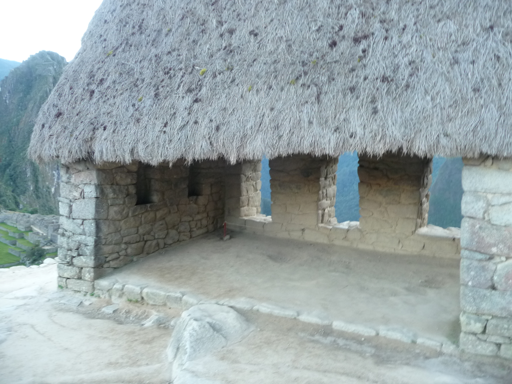
This is the back side of the caretakers hut. It only has three walls.
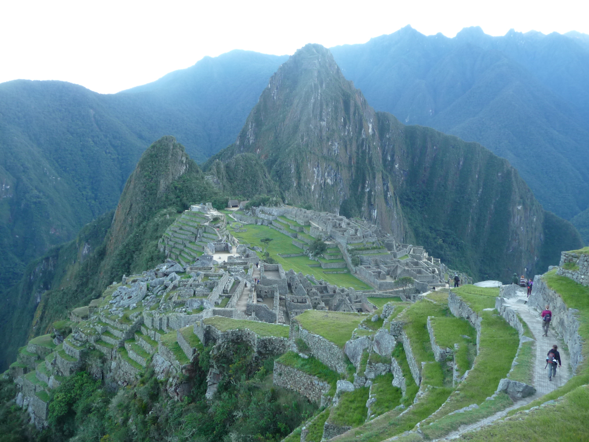
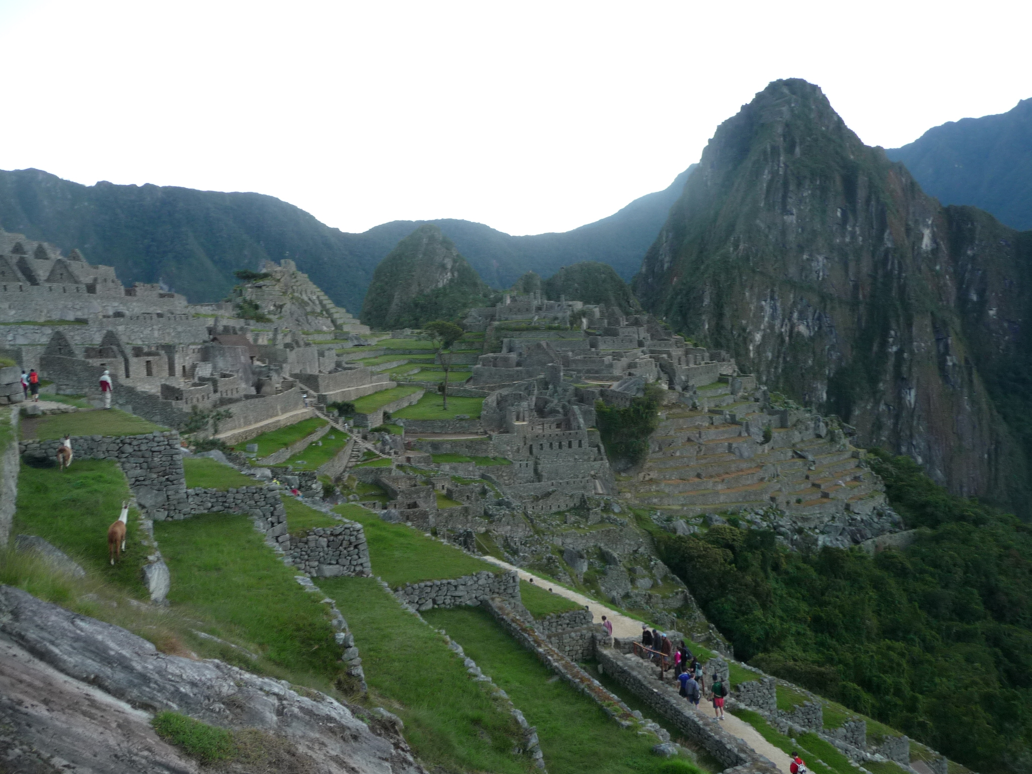
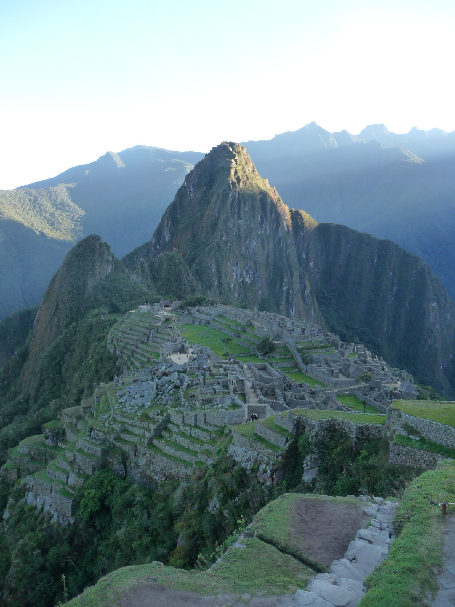
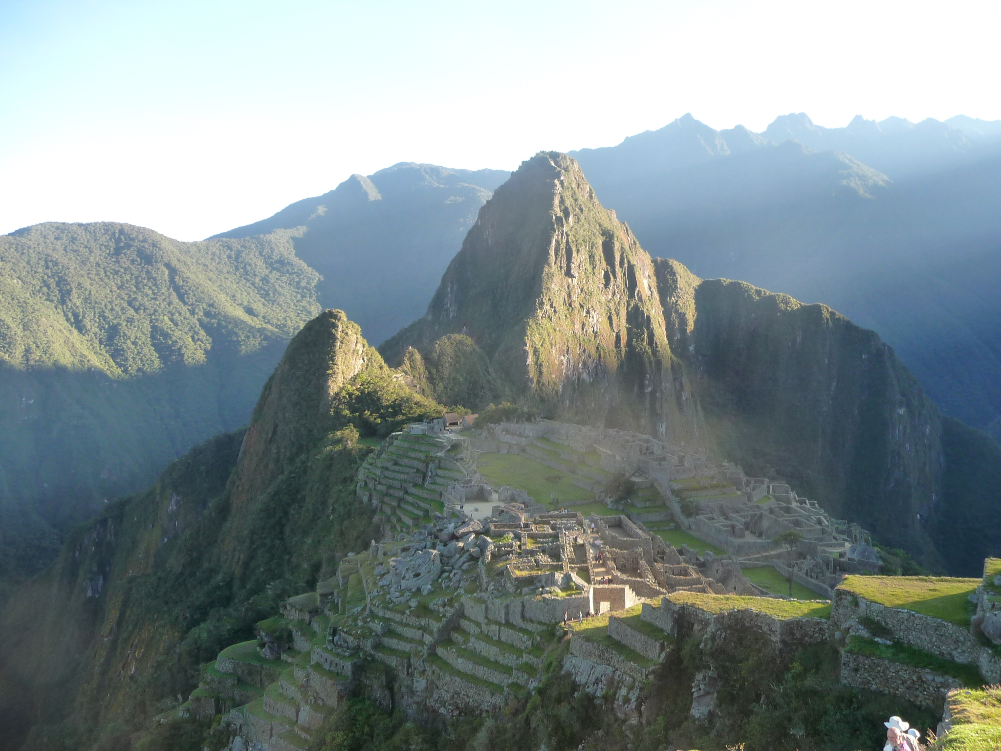
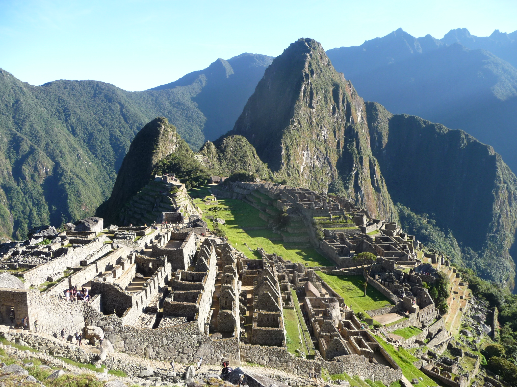
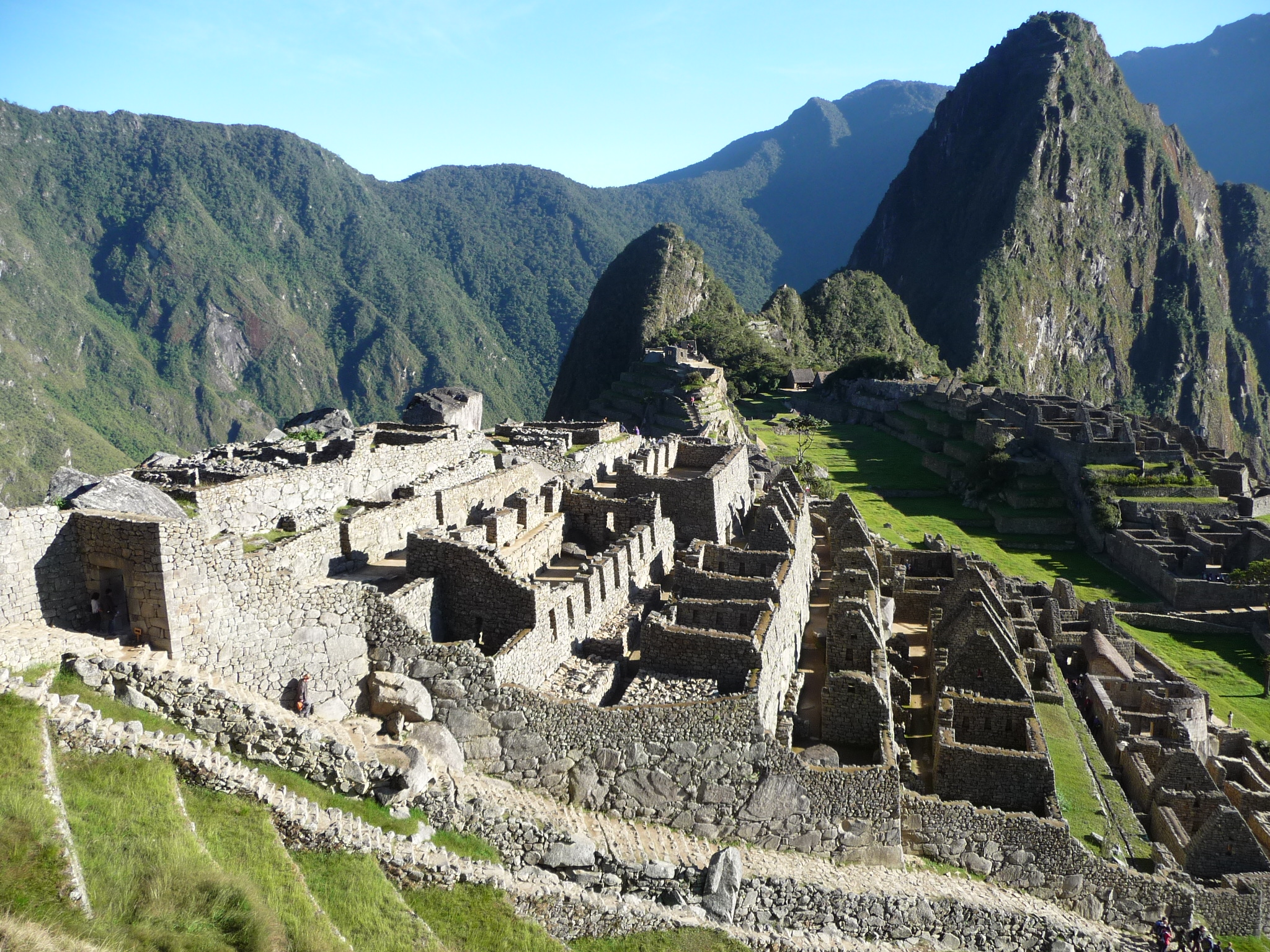
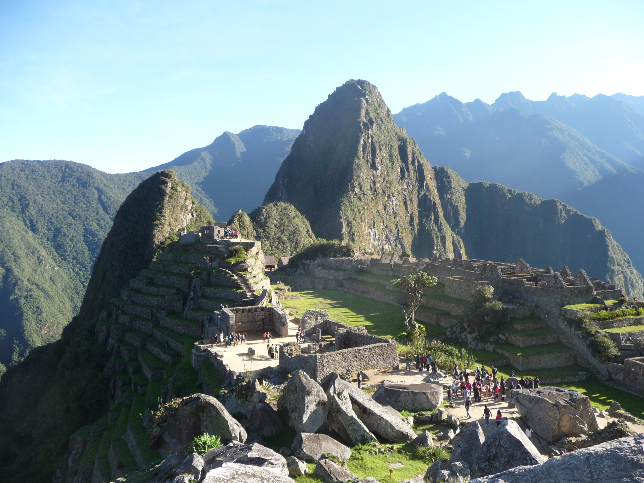
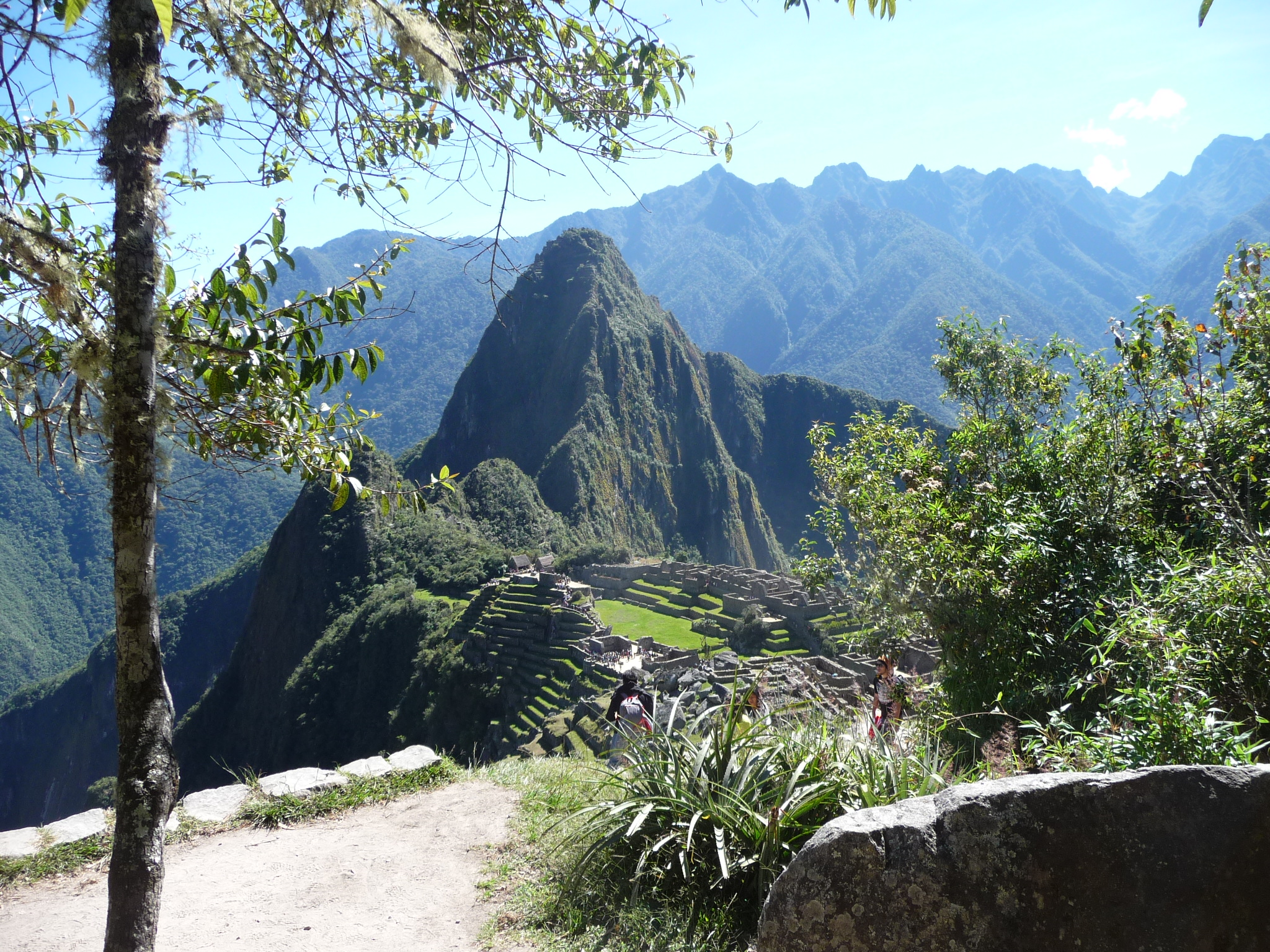
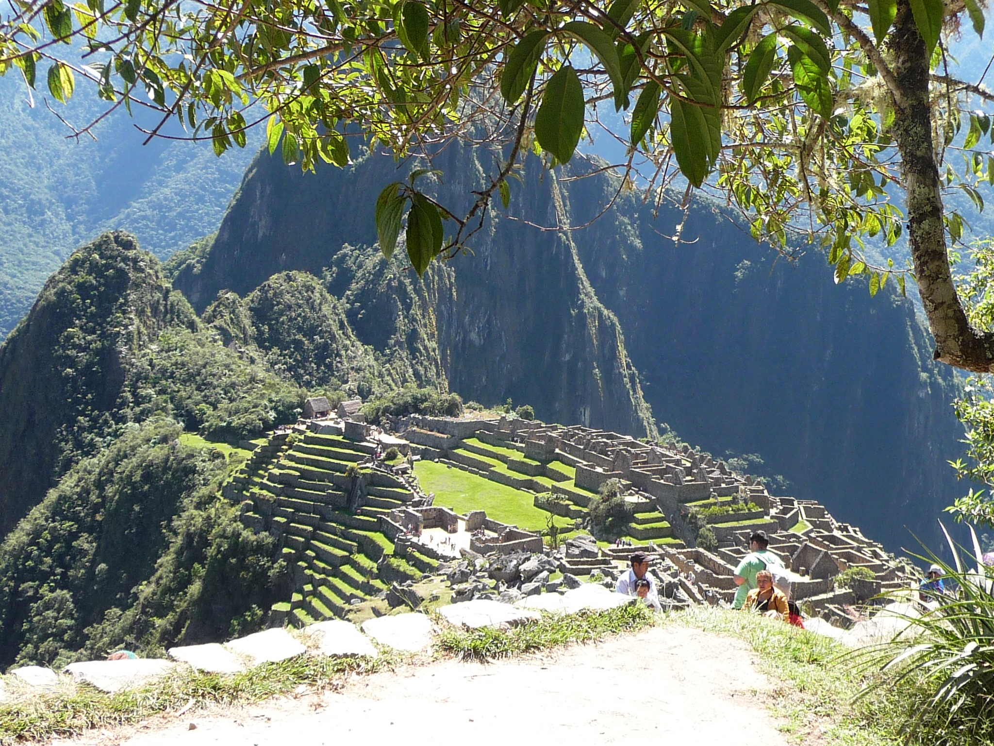
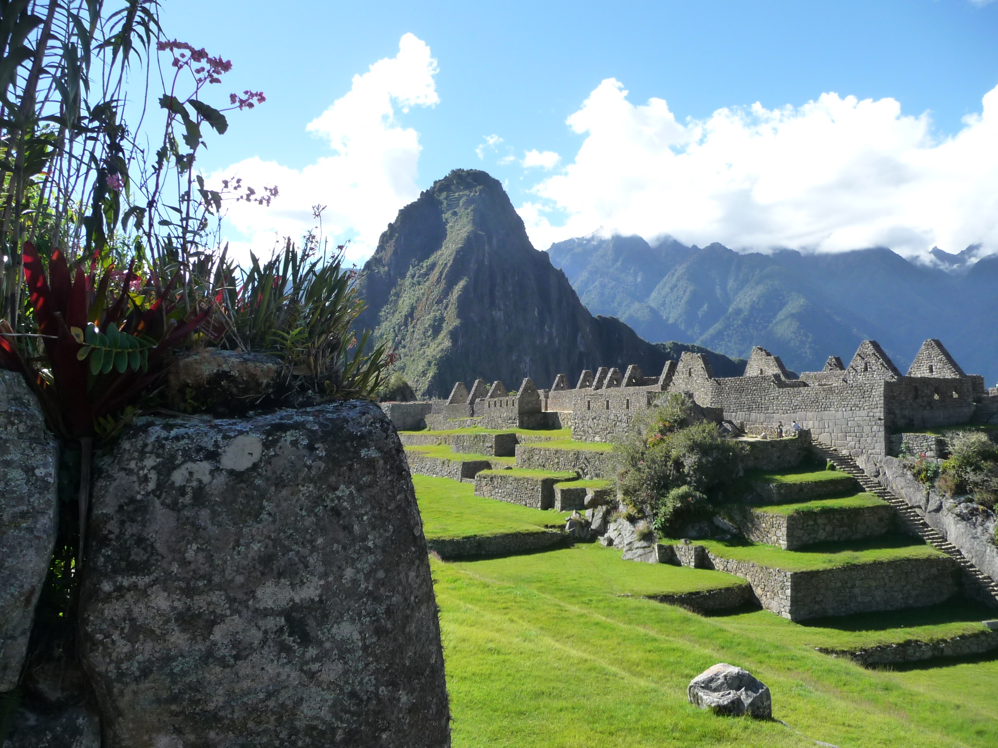
I leave the caretakers hut and climb a little further up the path to a spot that has even more beautiful vistas. This angle shows most all of the Machu Picchu ruins, only missing a small piece on the eastern (right) side.
The sun is starting to glow extremely brightly over the eastern mountains, but has still not reached the top of Wayna Picchu mountain.
Very similar photo, with slightly different framing and zoom.
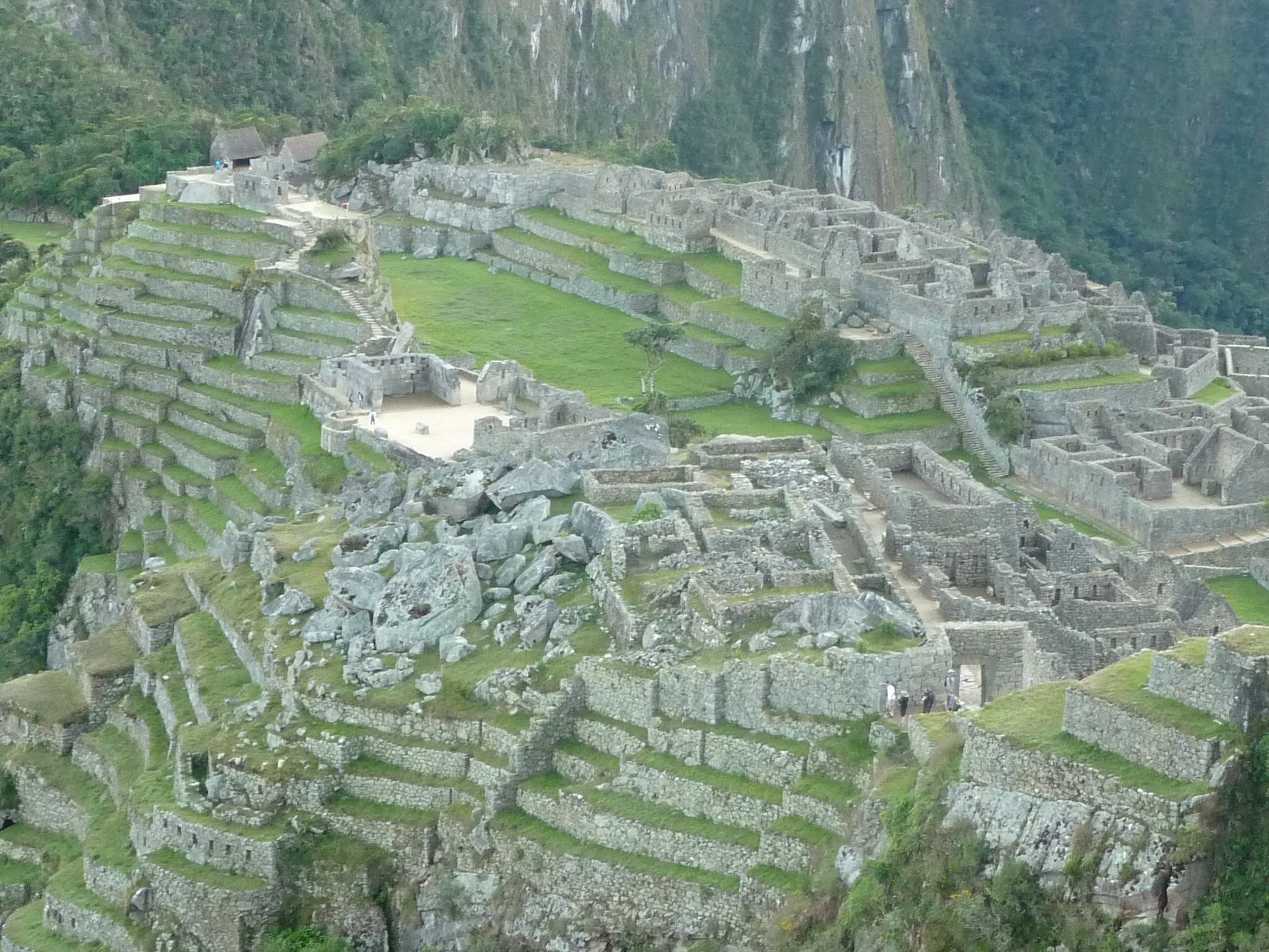
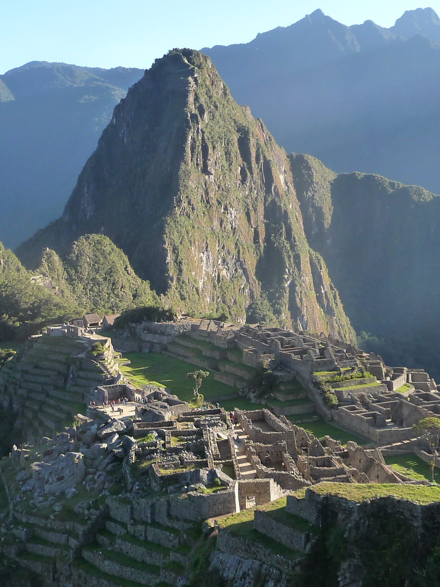
A zoomed-in view of the ruins themselves. The huts at the top left are near the entrance to the Wayna Picchu trail that I will hike tomorrow.
The sun has not yet reached Wayna Picchu, but it is beginning to highlight a nearby mountain to the west.
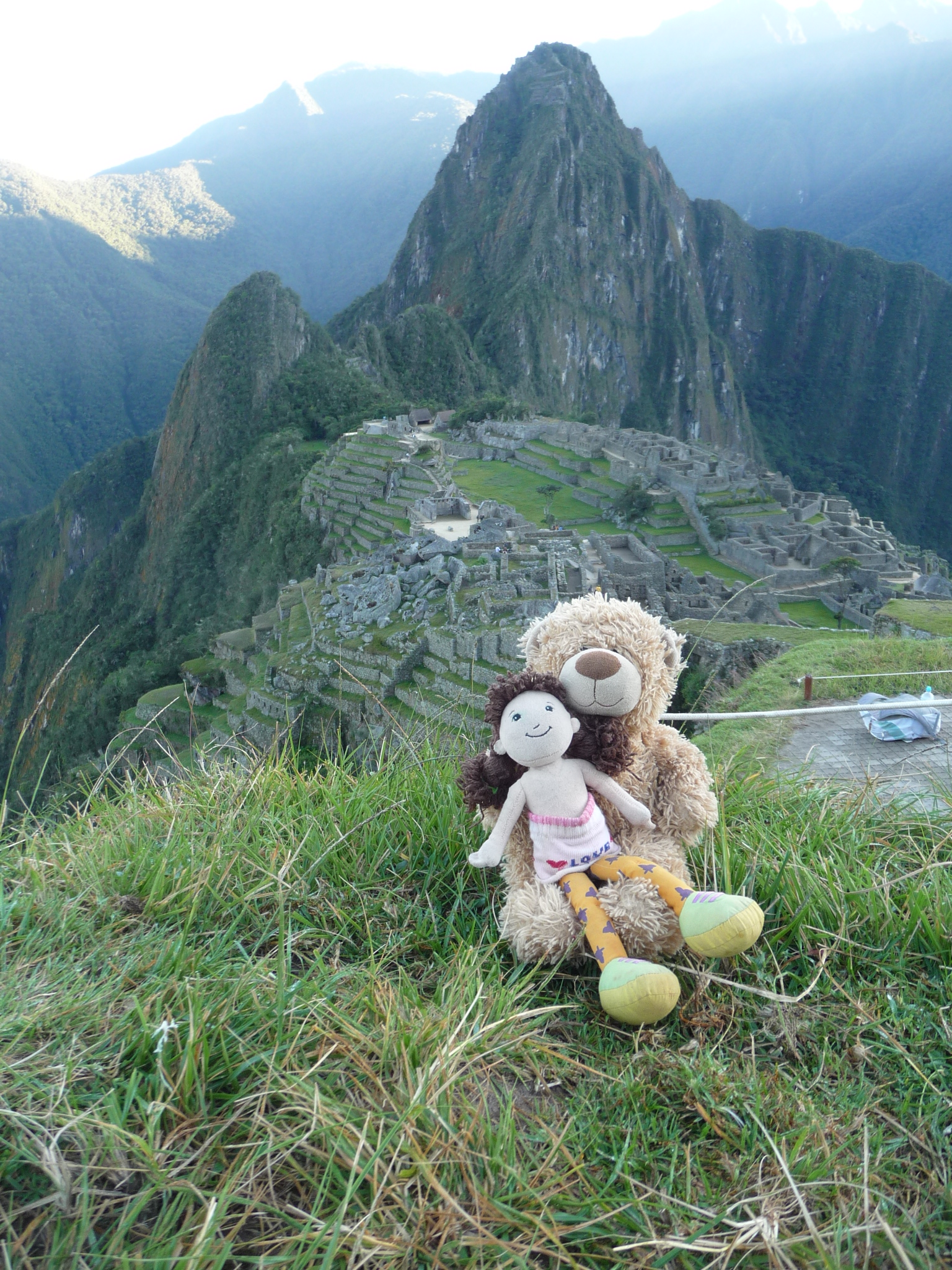
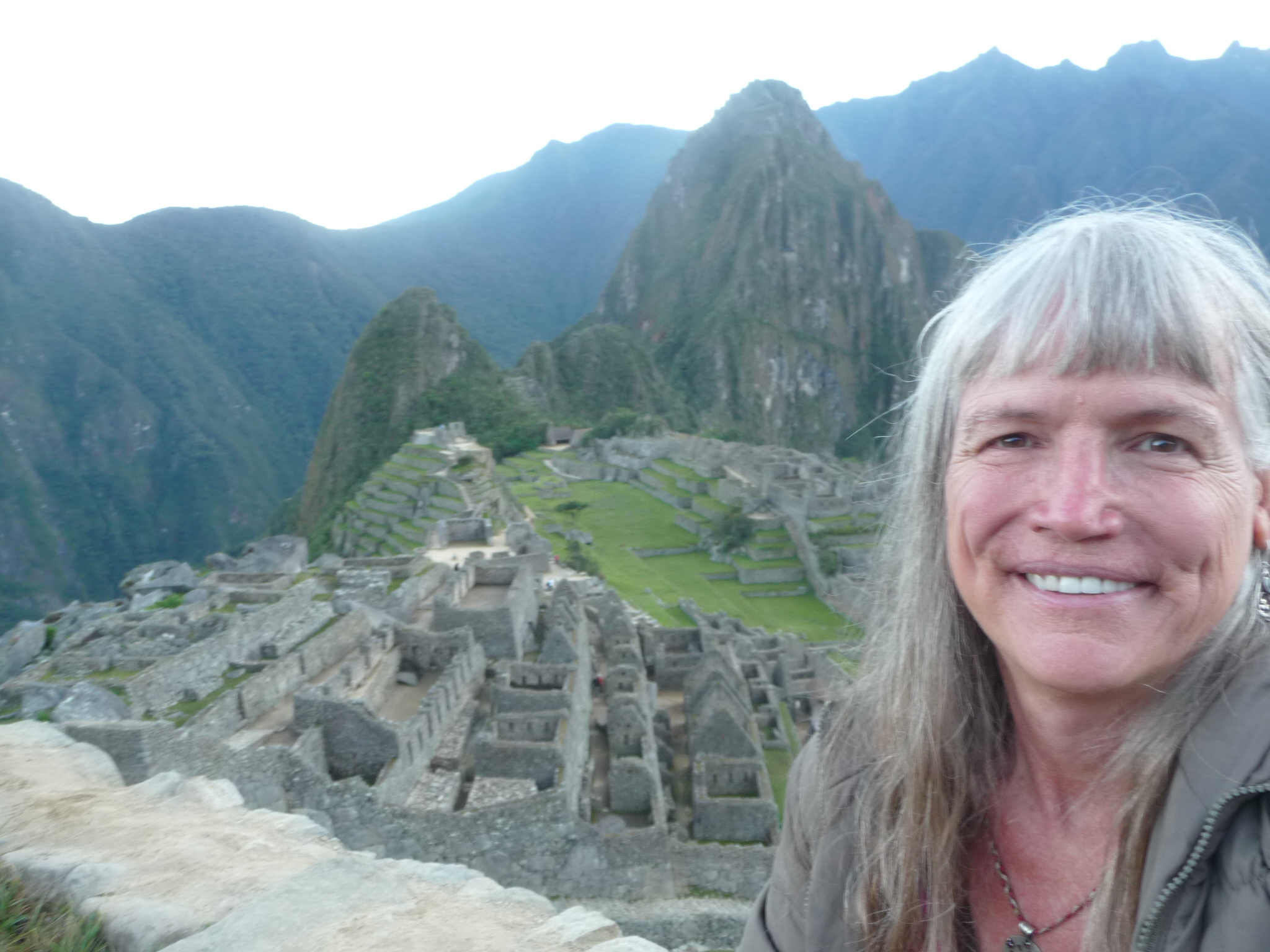
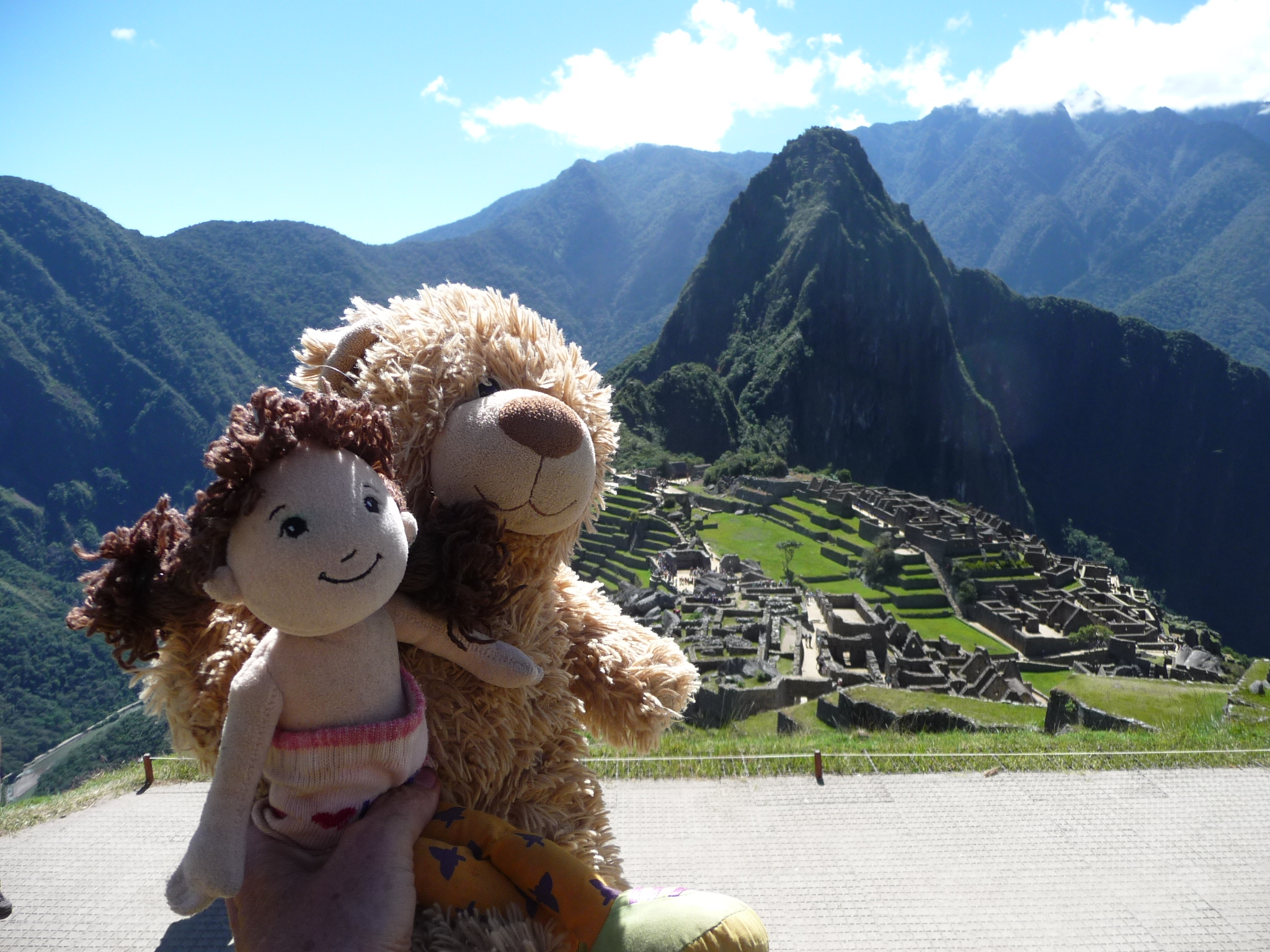
Yes, Bobby-bear and Brenda-doll came with me in my tiny daypack. They were so excited to see the ruins.
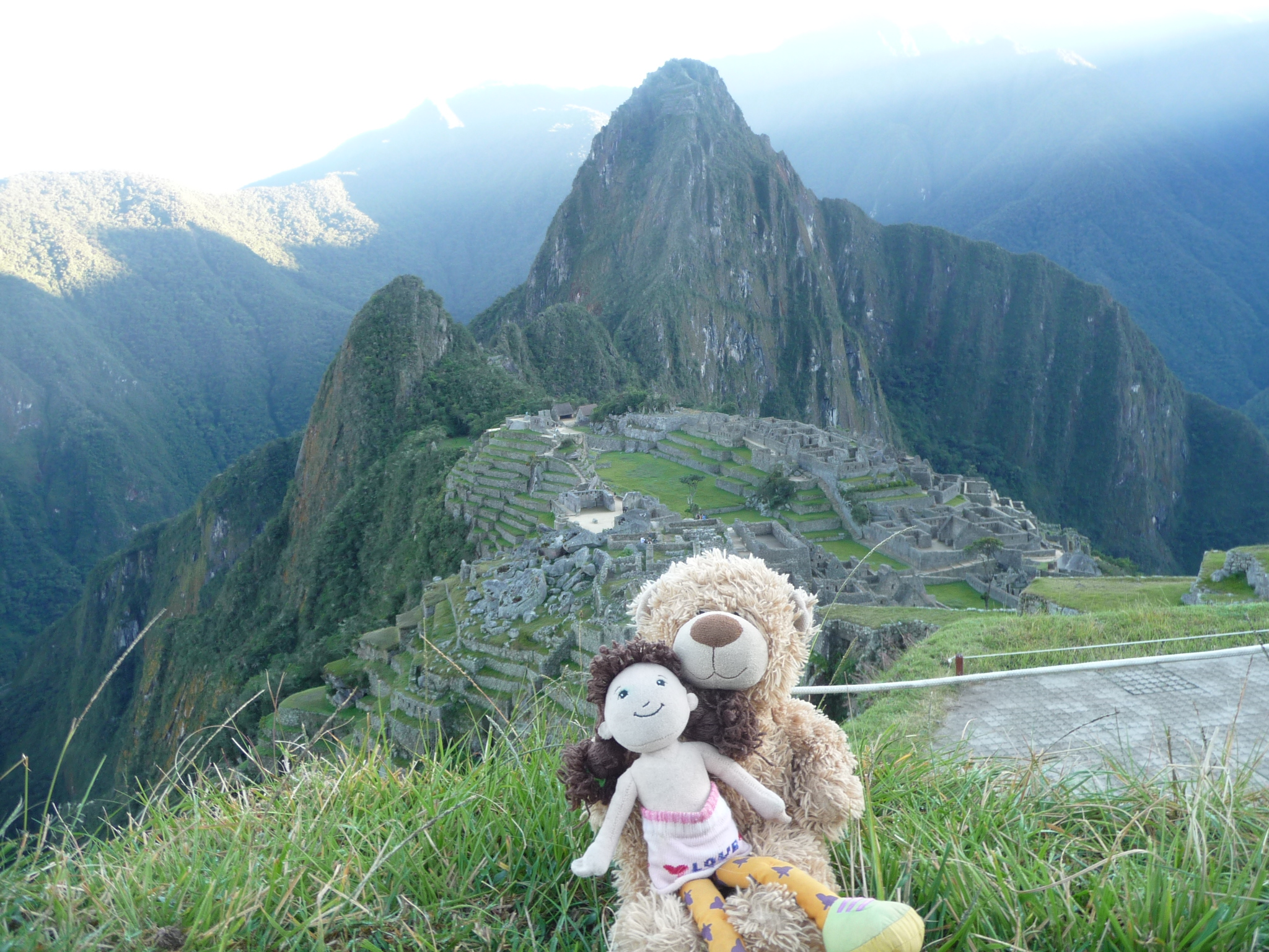
And they asked me to take a few shots to make sure we got a good one. I like this one better.
Looking back toward the caretaker’s hut, with the sun trying to break over the eastern mountains. You can see the sunbeams streaking on either side if you enlarge the photo.
Finally, a little of the sun is gracing the top of Wayna Picchu.
The same photo without the strong zoom – showing the sunrise starting to hit Wayna Picchu mountain.
These next photos are mostly the same, with the sunrise gradually progressing a little at a time.
I kept taking photos, hoping one of them would be spectacular.
But photos cannot do justice … especially these thumbnail images. Remember that you can see detailed higher-resolution images of any photo by simply clicking on it.
And finally, the sun is now visible from where I am standing. I do not look directly at it, but the camera does an adequate job (sorry that it is blurry).
The ruins as the sun continues to rise.
Slightly different framing.
You cannot tell from the thumbnail, but this is a vertical (camera turned sideways) shot of the same area. Clicking on the photo gives a much more detailed view.
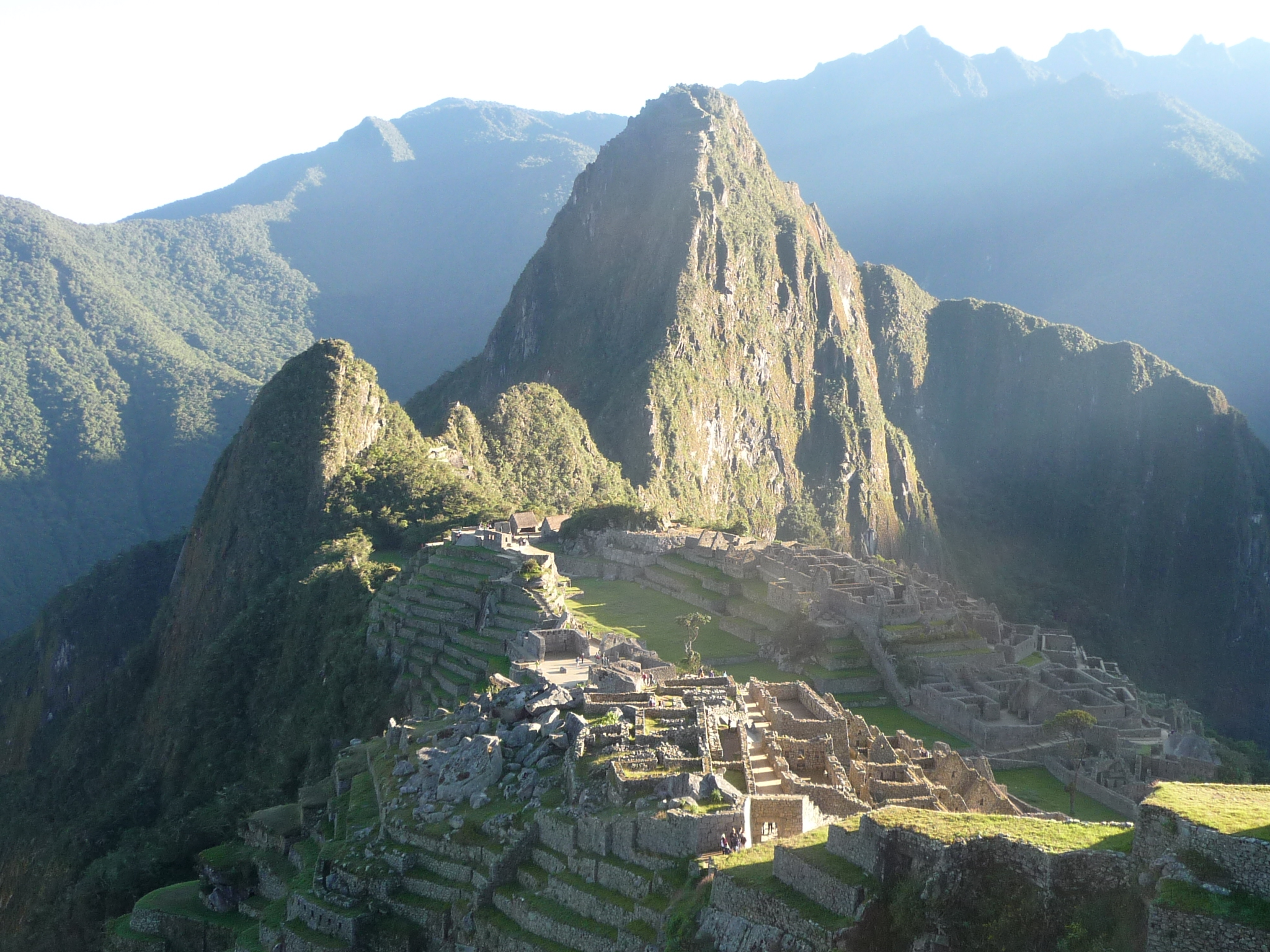
Lots or similar angles here as the sun now begins to engulf the lower ruins.
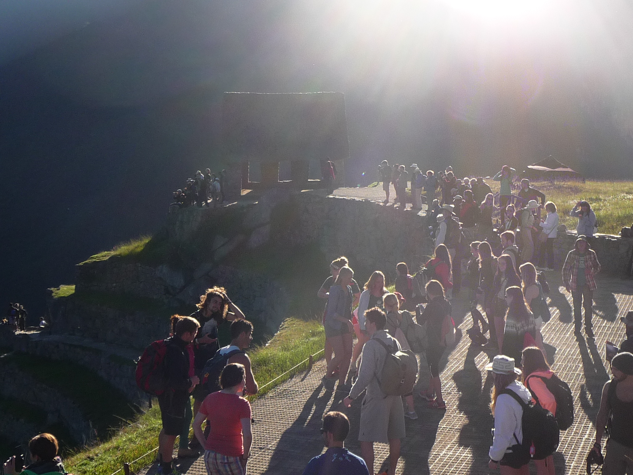
Some of the large crowd gathered to watch the sunrise near the caretaker’s hut.
And even more sun.
And a little more zoom.
A vertical shot of the same view.
Just looking for the “perfect shot”.
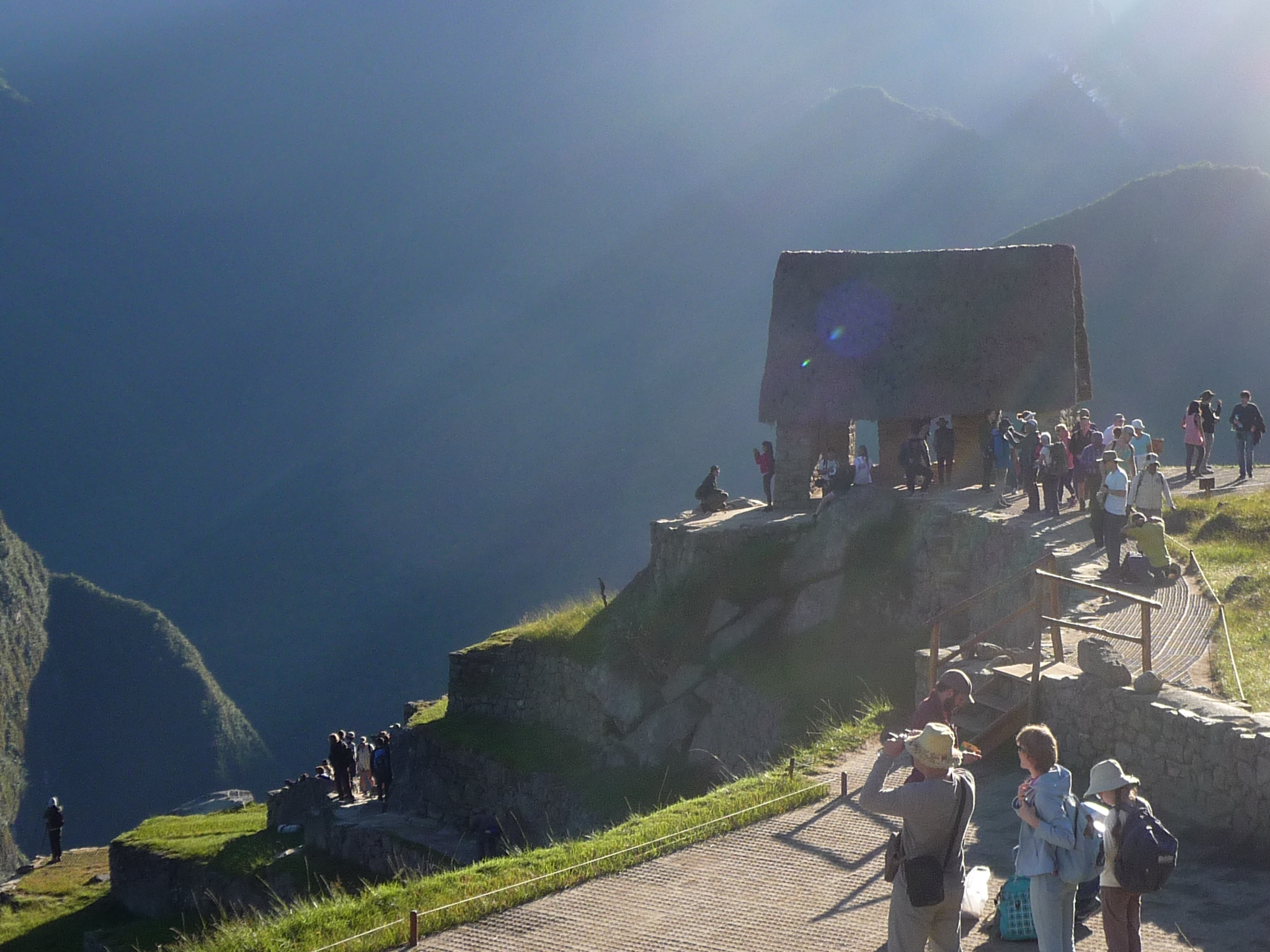
The caretaker’s hut with the glow of the sun creating special effects.
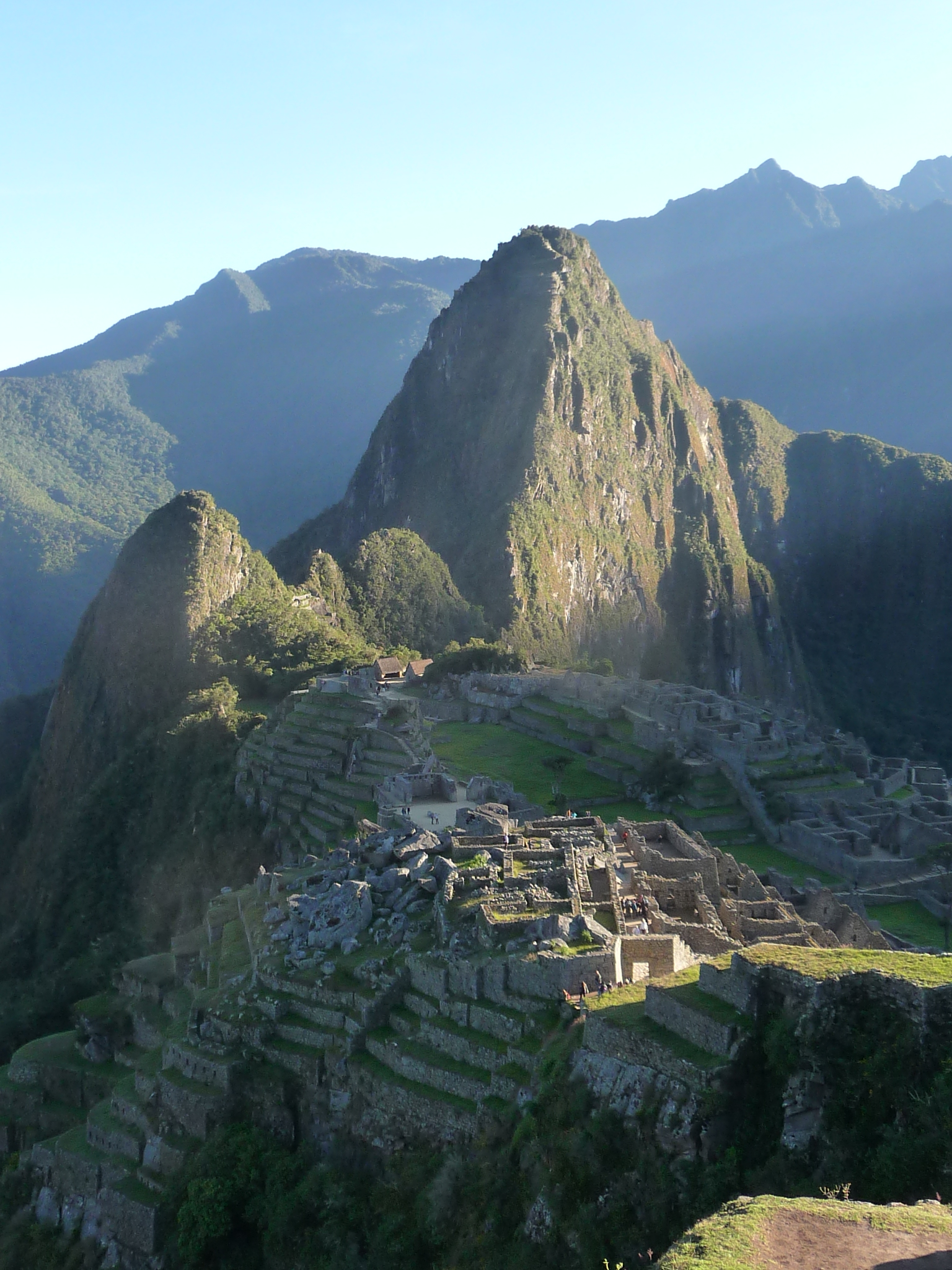
This one was taken about 20 minutes later, with the full sun now on the ruins. This is one of my favorite photos so far.
And another beautiful one, with a partial view of the upper ruins.
Special sun effects on the eastern side of the ruins.
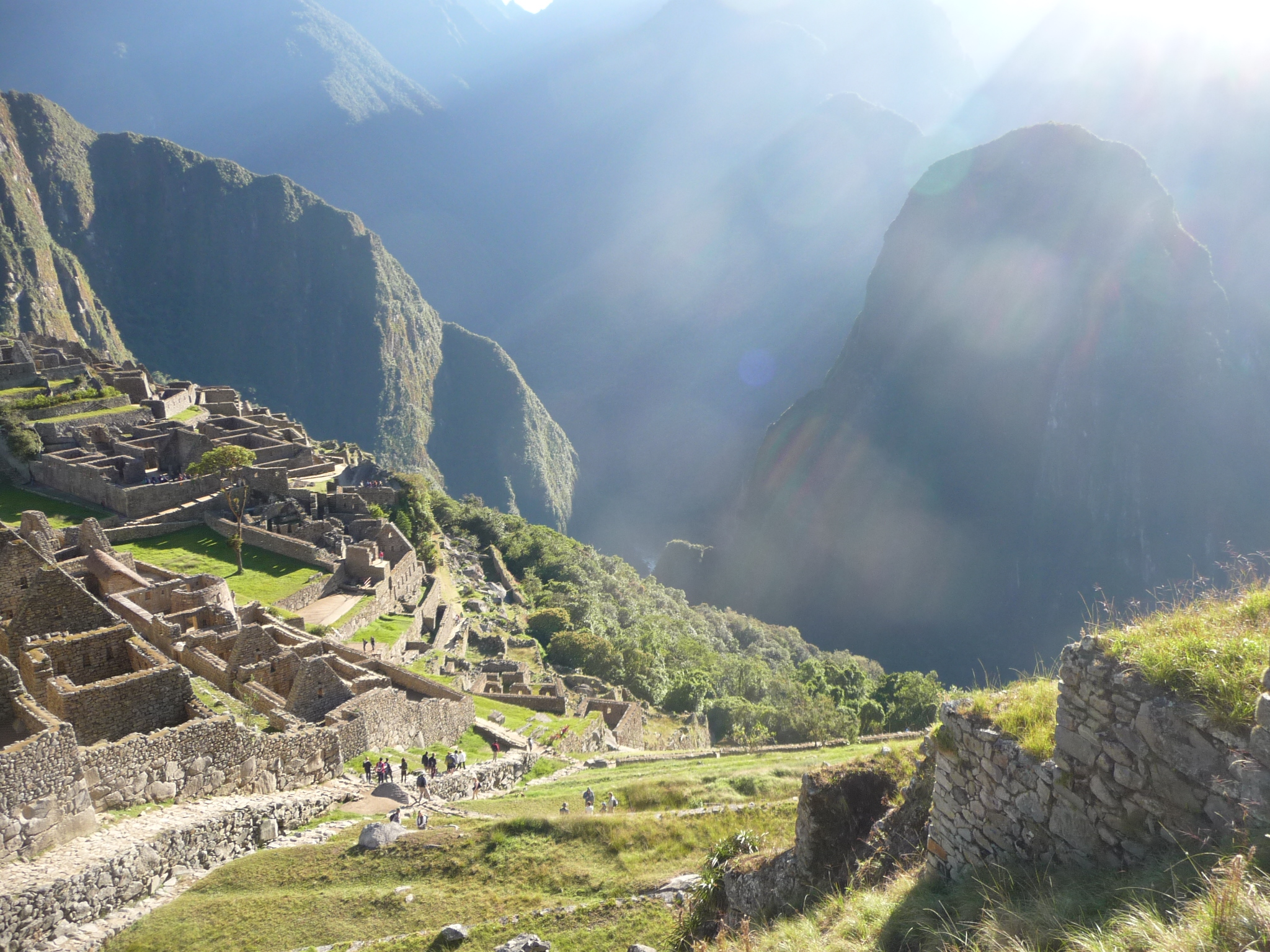
Looking down the western slope below the ruins. There are lots of terraces here.
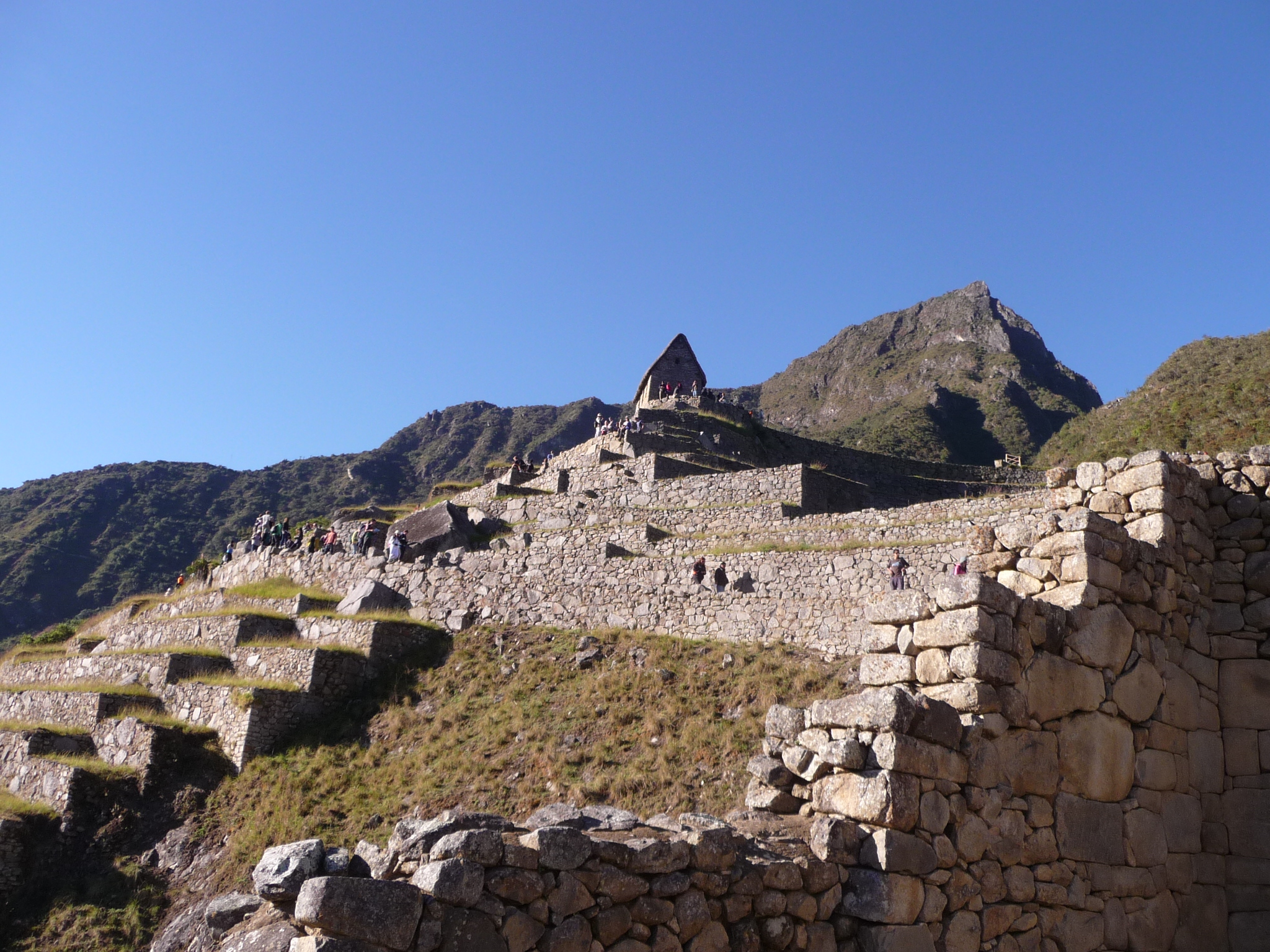
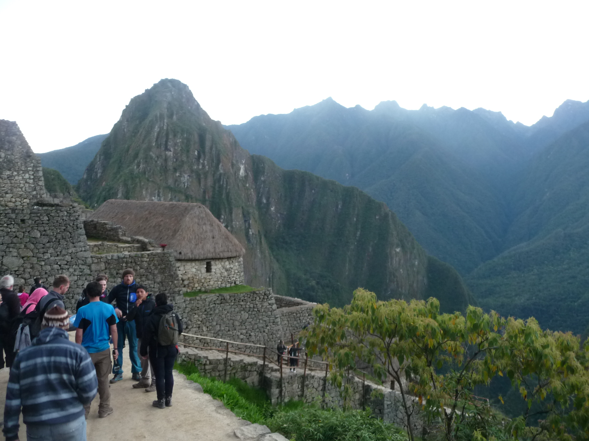
I begin hiking down into the ruins. This one is looking back, upward. The caretaker’s hut is that pointy-topped building at the upper center.
A photo taken from this lower angle, down in the ruins themselves.
From further down in the ruins, again looking up toward the caretaker’s hut. That is Machu Picchu Mountain in the background (middle peak). It is another hike that can be taken, but I did not have time or strength.
And one more from an even lower vantage point, looking across the ruins toward Wayna Picchu.
Exploring Machu Picchu
Soon, choosing not to pay for a tour guide, I begin to explore the ruins on my own, occasionally listening to what some tour guides have to say. I almost laugh when I hear one tell people that the ancient Incas used llamas to carry some of these large stones from a quarry that is more than twenty miles away. As I do the math, I can see that the larger stones must weigh many tons, and any one of them would easily crush a group of llamas if put on their backs. And after walking some of the access trails, many are extremely narrow along steep cliffs … No way did llamas carry these stones here.
It is because of things like this that I am not especially interested in paying for a tour. I have deep beliefs that the people who built these temples, and similar structures around the world, were quite advanced in ways not understood by current historians etc…

This is a view from the top, showing what people call “The Temple of the Sun”. People are not allowed to get very close or go into this structure.

A sampling of one of the walls, showing the intricate stonework … and these are not small stones.

A side view of the Temple of the Sun.

Looking vertically down one of the walls at the floor below.

Another similar shot with different lighting. I do not remember why I felt that these photos would be significant.

A little inner cavern sheltered by a HUGE rock.

Taken from a lower part of the ruins, near the center, looking back up the terraces toward the caretaker’s hut in the upper right, with Machu Picchu mountain in the background.

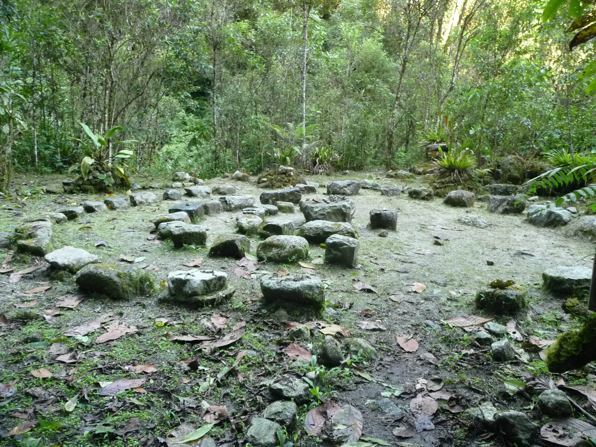
Not having taken a tour, I do not know what this is believed to be. It just looks significant and interesting.

A little area called “espejos de agua” (mirrors of water).

I believe these are structures over on the east side of the ruins.

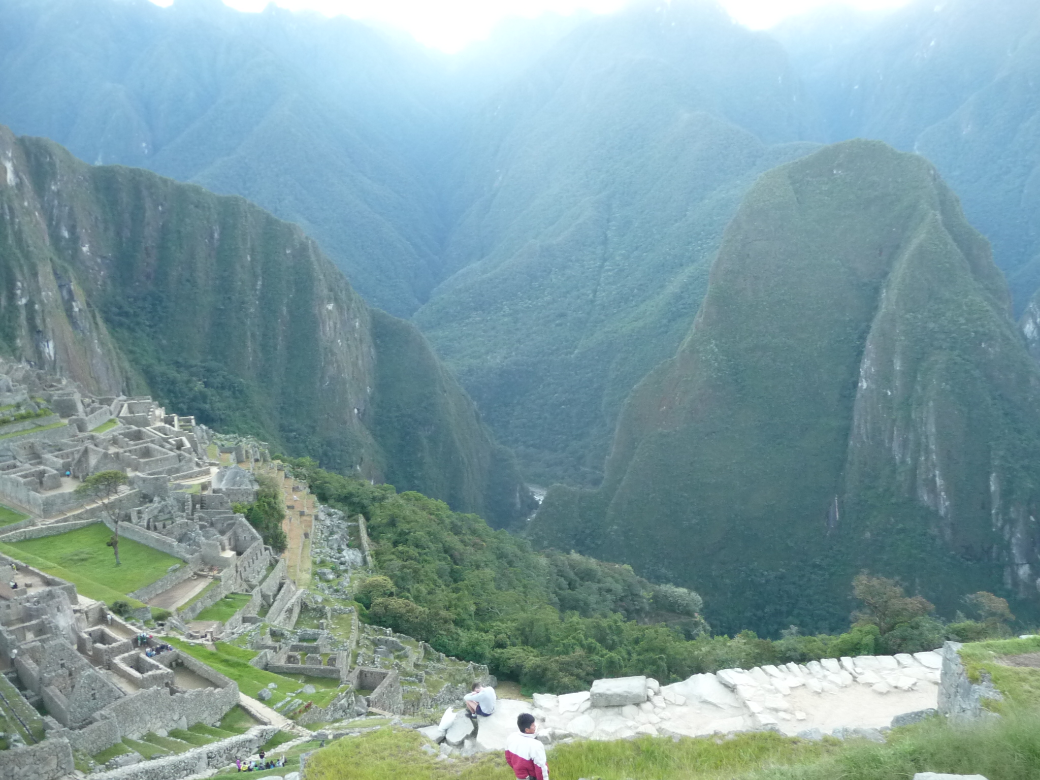
From the eastern edge of the ruins, looking down at the river below. That is Wayna Picchu mountain in the near foreground (the base of it) … and that is the river I hiked beside as I walked to the waterfalls yesterday.

Some of the walls and pathways on the eastern side, with the beautiful valley below.
The sun is still just barely above the mountains to the east.

This is a photo taken from the lower eastern side of the ruins, looking back toward the western side. That round structure in the lower right of the photo is the “Temple of the Sun” that we saw earlier.

A view on the eastern side, looking toward Wayna Picchu. This shows how low the terraced ruins reach on this side.

One of the huge walls on this side. These appear to have cracks and holes in them. I am sure that I could stick a razor blade in many places.

The sign in the background reads “Casa Del Inka” which means House of the Inca. I am not sure what that roped off area in the middle is about.

A close view of the sign.

Looking down at that same spot from a different angle. I wish I could tell you what the significance of this spot is, but I cannot.

I love this photo. It is taken from the western side of the ruins, looking across the tops of the eastern buildings, with Wayna Picchu in the background.

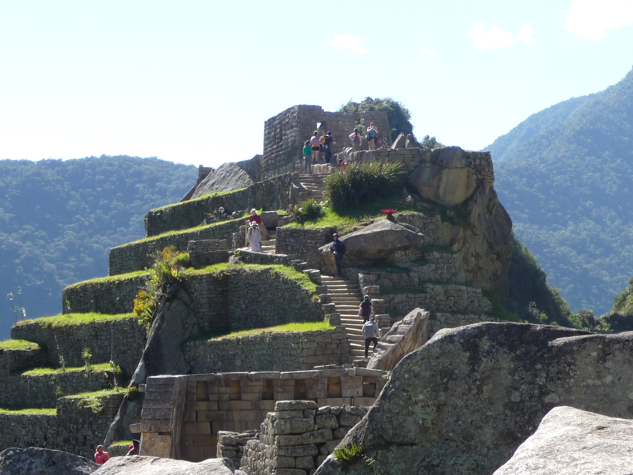
Headed toward the Temple Zone …

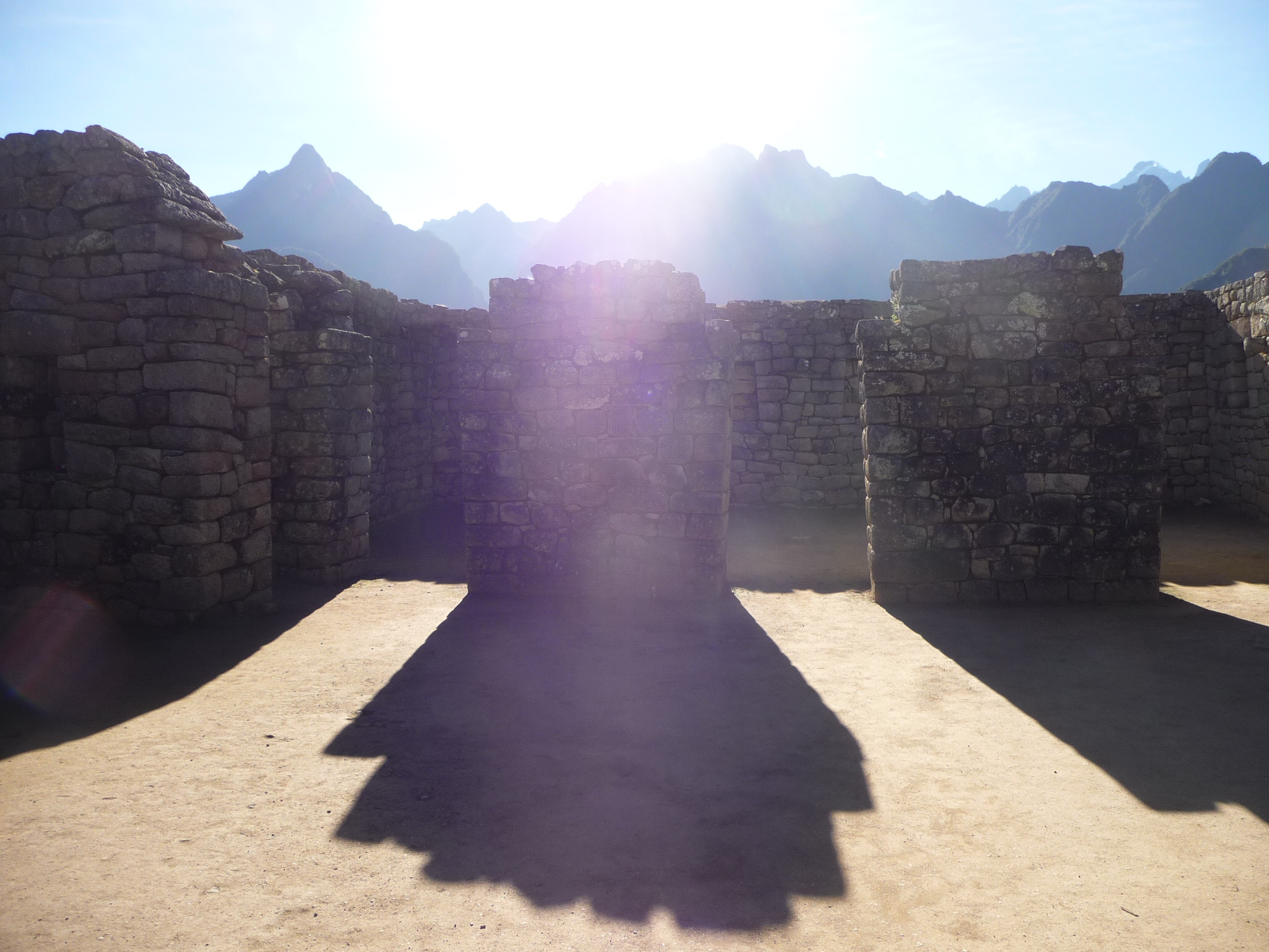
This photo was taken from the top of the “Temple Zone”, looking back toward the caretaker’s hut (which is at the upper center of the photo). That flat area in the near left (at the bottom of the walls) is one of the main temples. Many of the tour guides stop here to give long explanations.

I cannot remember the name of this rock, but it is sometimes referred to as the “Hitching Post of the Sun” … with legends of how the sun was tied down to this post. Sorry, I don’t know any more details, and am not even sure if what I said was accurate.
This is located at the top of the Temple Zone.

A view of Wayna Picchu from the top of the Temple Zone. The trail that I will hike tomorrow begins behind those two huts.

From the same spot, looking down at the hydroelectric plant to the west. If you look closely at the upper right side of the photo, you can see a large man-made structure that appears to be a huge water pipe down which water could flow to turn a turbine ???
As I mentioned earlier, some people, in an effort to save money, make their way via roads to the hydroelectric plant area, and then take a short train ride from there. (The trains are quite expensive. I paid $155 US for my round trip.)

A close view of the huts in front of the trail that leads to the top of the Wayna Pichu Mountain.

I am now standing near those huts, looking back toward the temple zone. You can see the caretaker’s hut in the left center, and that mountain peak is the top of Machu Picchu Mountain.

This “sacred rock” is near the huts from the previous photo …

And this is the sacred rock itself. I have no idea what the story is behind this rock.

This is the entrance gate to the “Wayna Picchu Trail”. I will be sitting right by this entrance gate before 6:30 a.m. tomorrow morning.

Another view of Wayna Picchu with the entrance gate in the foreground.
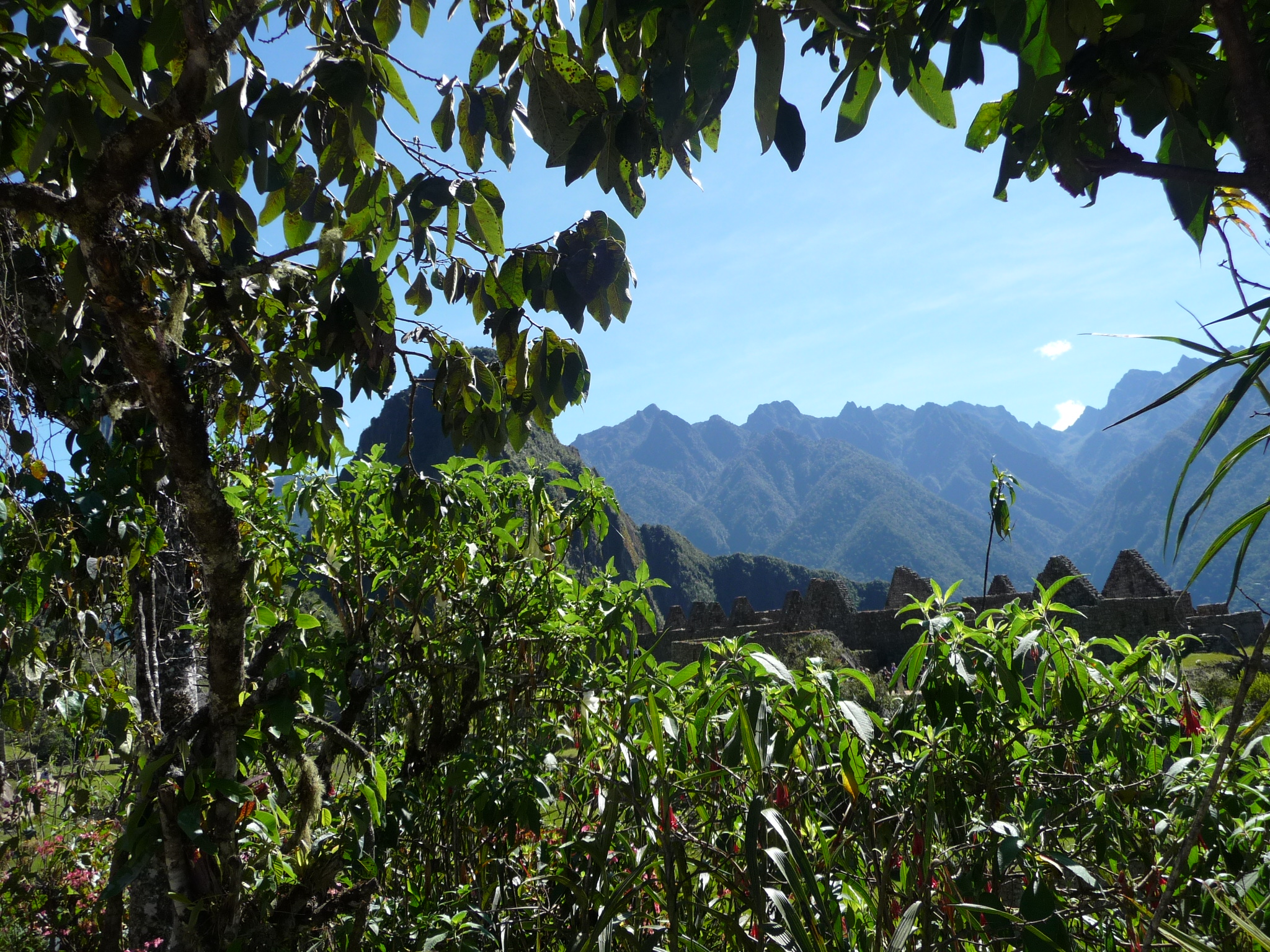
You can barely see the tops of some of the ruins as you look through the trees at the distant mountains.

People standing around near the sacred rock. I get the impression that they are some of the hikers preparing to hike in the 10:00 a.m. group (since this photo was taken at 10:03 a.m.). There are a total of 400 people that are allowed to hike this trail every day. The first 200 people can begin between 7:00 a.m. and 8:00 a.m., with the second 200 people beginning between 10:00 a.m. and 11:00 a.m.. I will be in the first group tomorrow … and in fact, I will be the very first person out of that 200.
After leaving the area with the huts, I returned to the caretaker hut area, looking for shade and a spot to meditate.
You can see the caretaker hut sticking up from the ruins in front of the peak of Machu Picchu Mountain.

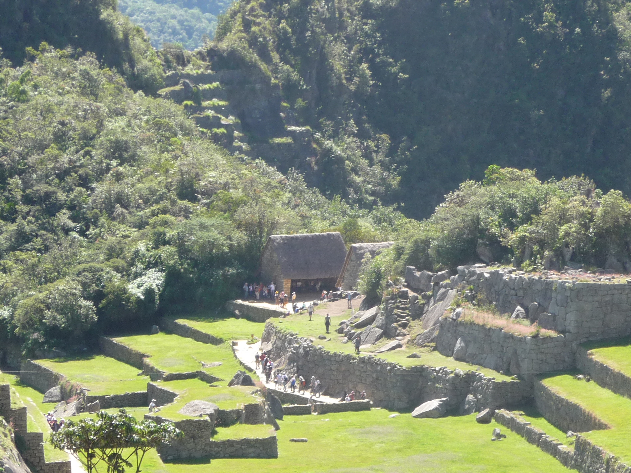
I couldn’t find this earlier, even though I walked right through it. It is called the “main gate” to the city. It is believed that this was the gate used to enter the actual city of Machu Picchu.

Another view of the same gate, taken from the other side looking down.
The Inca Bridge Trail
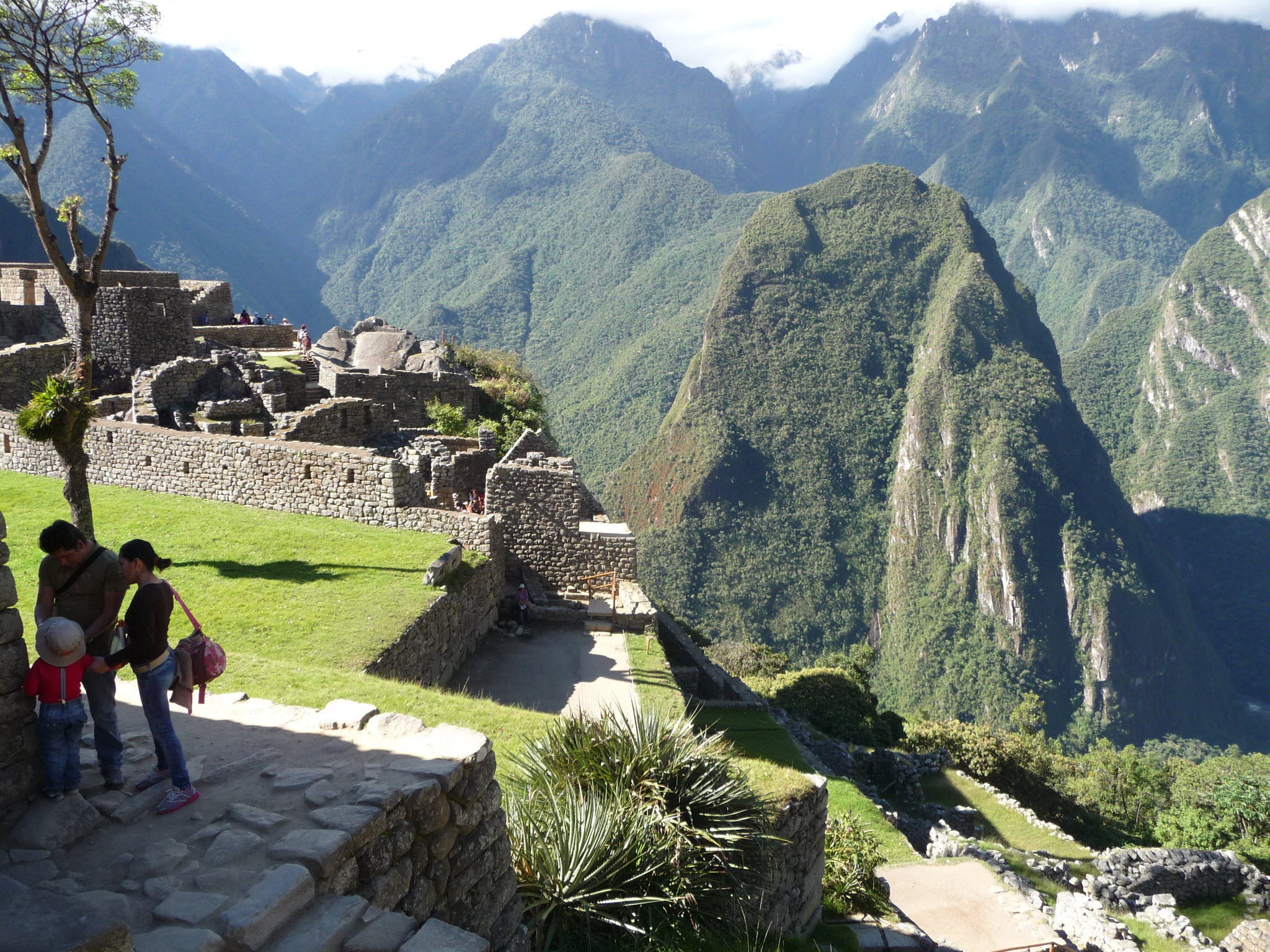
As I reach the level of the caretaker’s hut, I decide to take more photos with different lighting. It is now just a while after 10:00 a.m., so the sun is much higher in the sky. Soon, I decide to follow another trail to the “Inca Bridge”.
A view with mid-morning sun.
And another.
And another. I love this one. It shows pretty much everything, with beautiful lighting.
Similar, with different framing.
This one is taken from even higher up on the mountain. After my hike, I ended up sitting in these trees (in the foreground of the photo), meditating for an hour or more, enjoying the beautiful view from the shade.
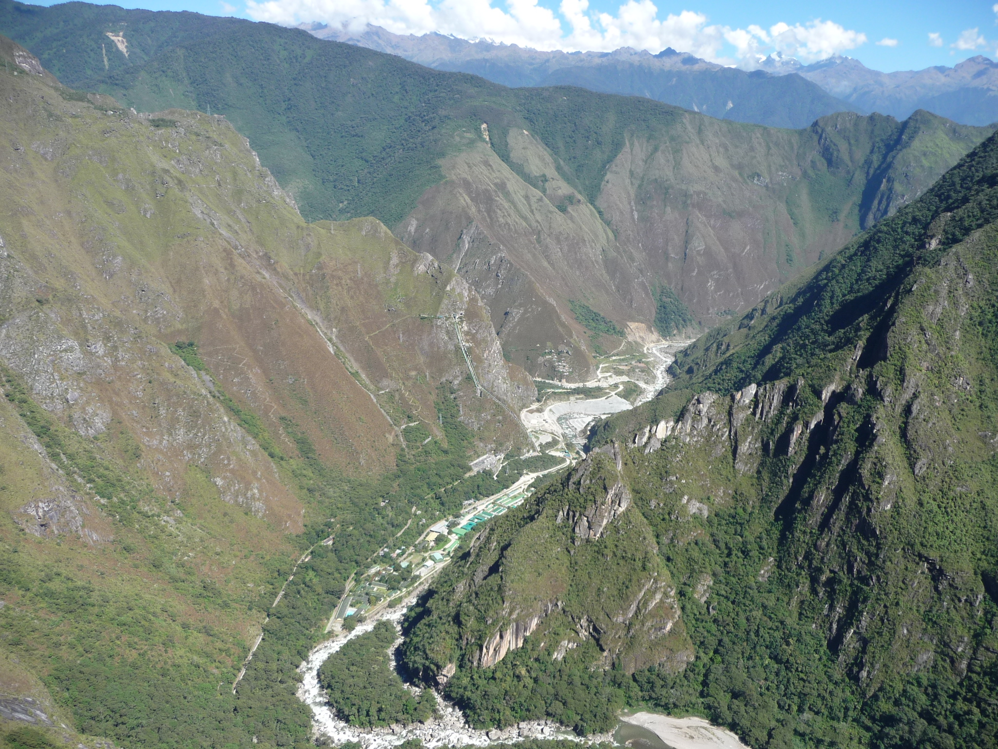
Looking toward the hydroelectric plant in the west. It is much more visible from here.
Looking down from the Inca Bridge trail toward the river below. The place where I hiked to the waterfalls (yesterday) would be just to the right of where the rivers appears from behind Wayna Picchu Mountain.
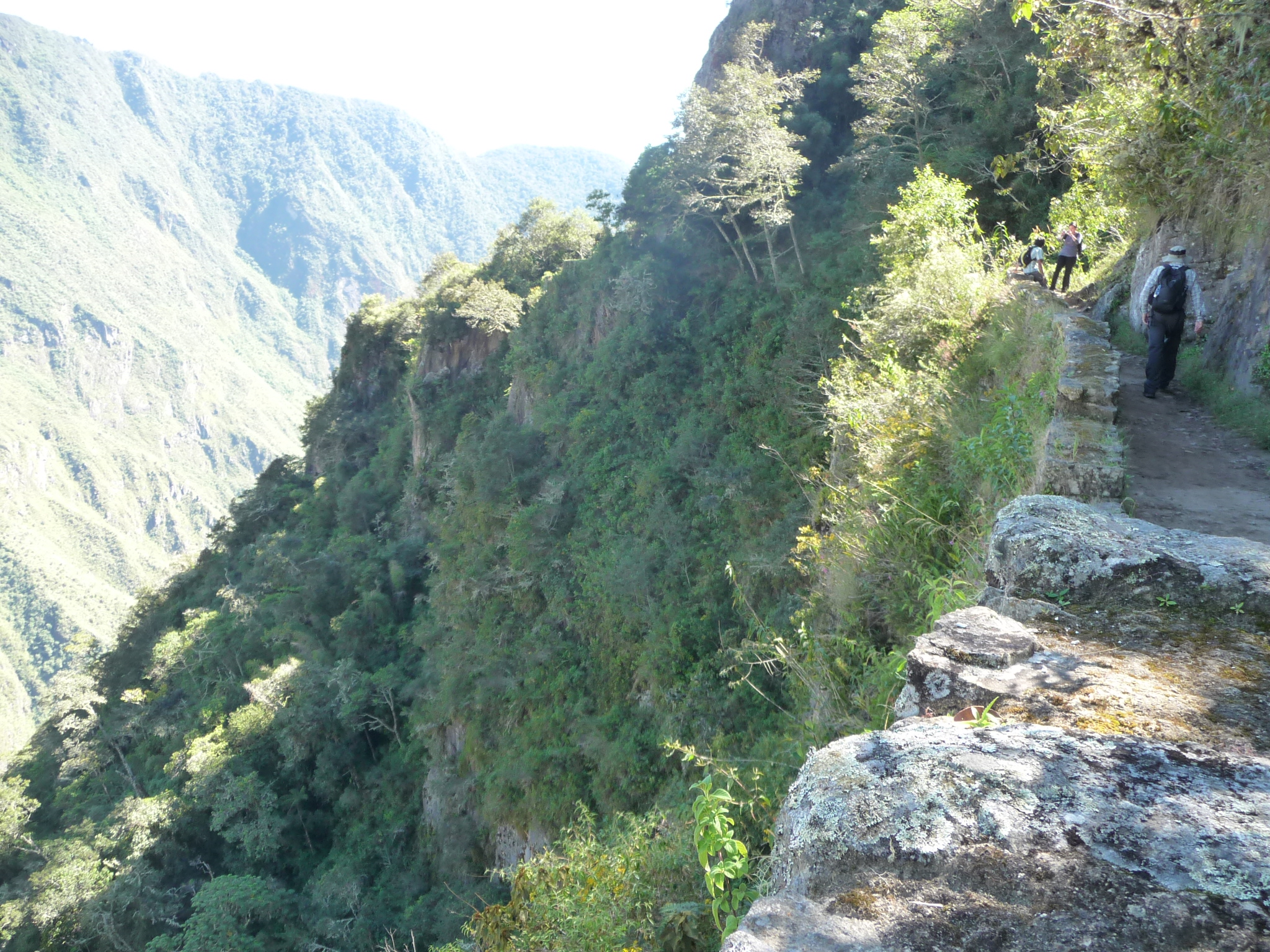
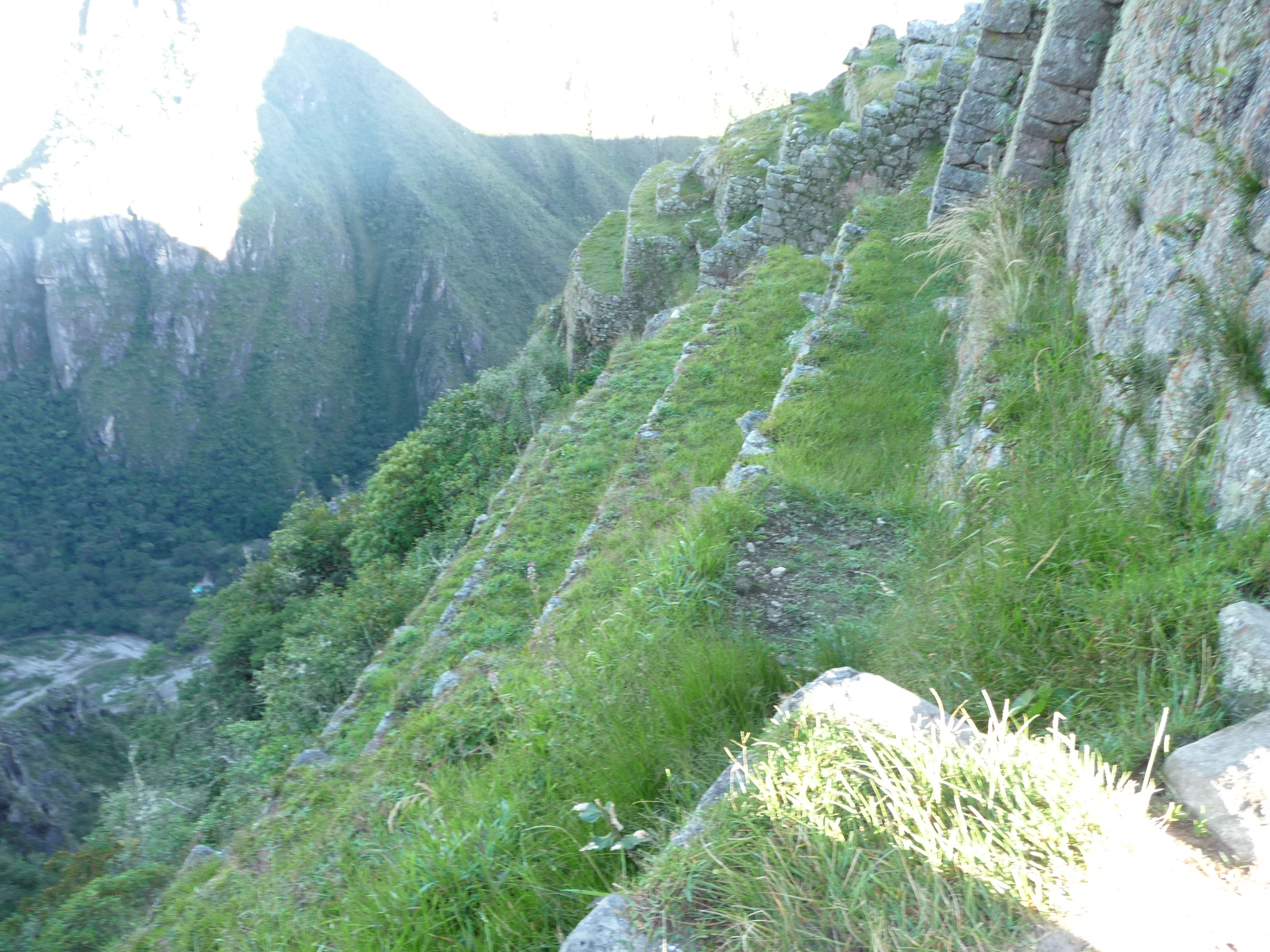
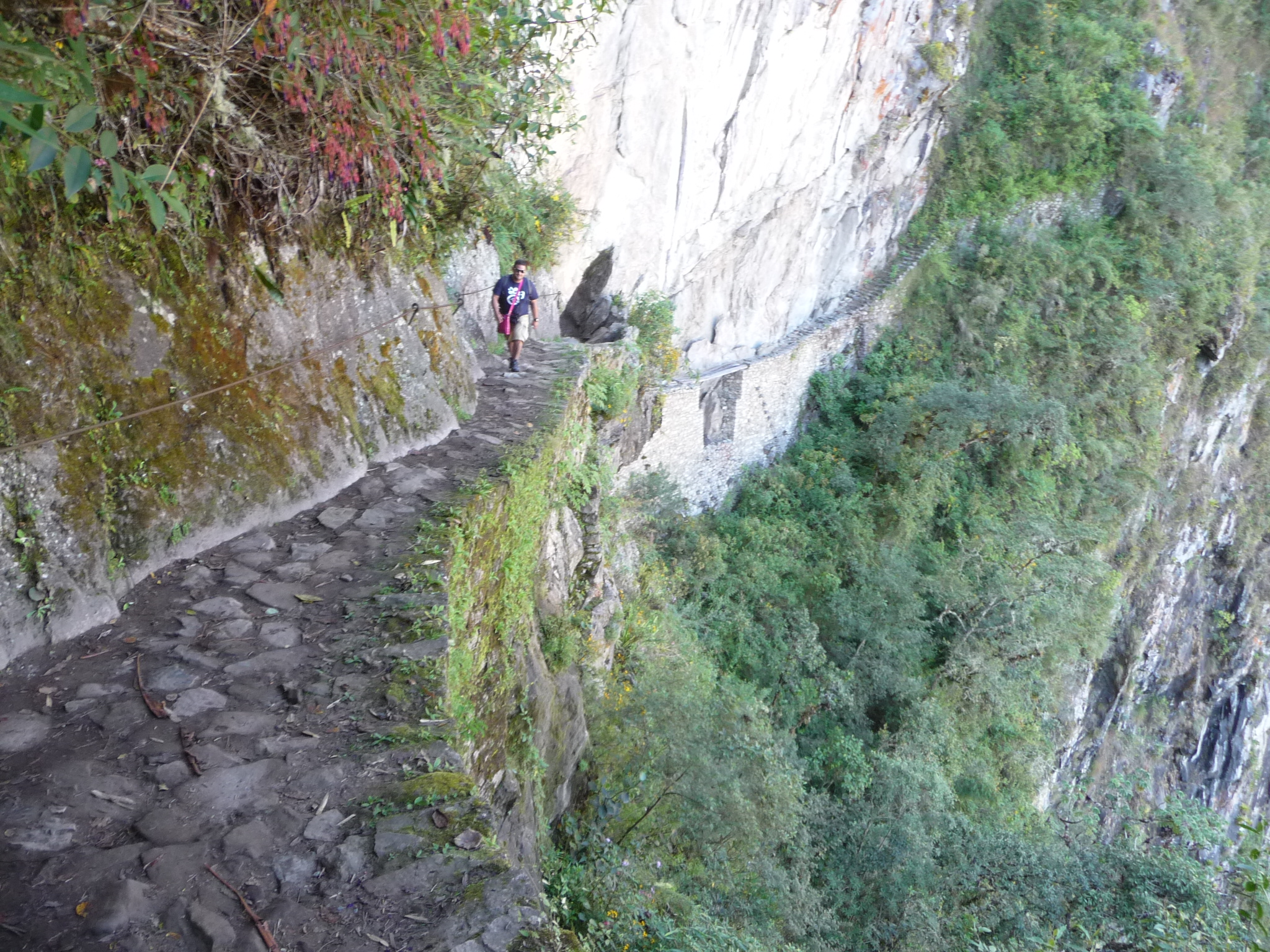
Looking back along the trail. You need to click and expand this photo to see the trail itself. It is narrow, but well maintained. There are places along this trail where the cliff below is quite steep.
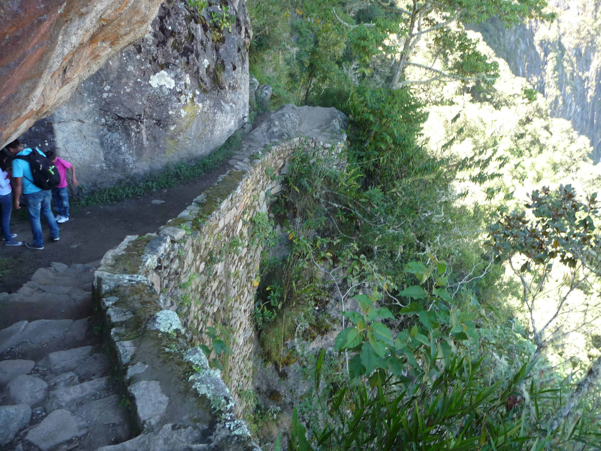
This is one of those places. It is a vertical drop on the right side.
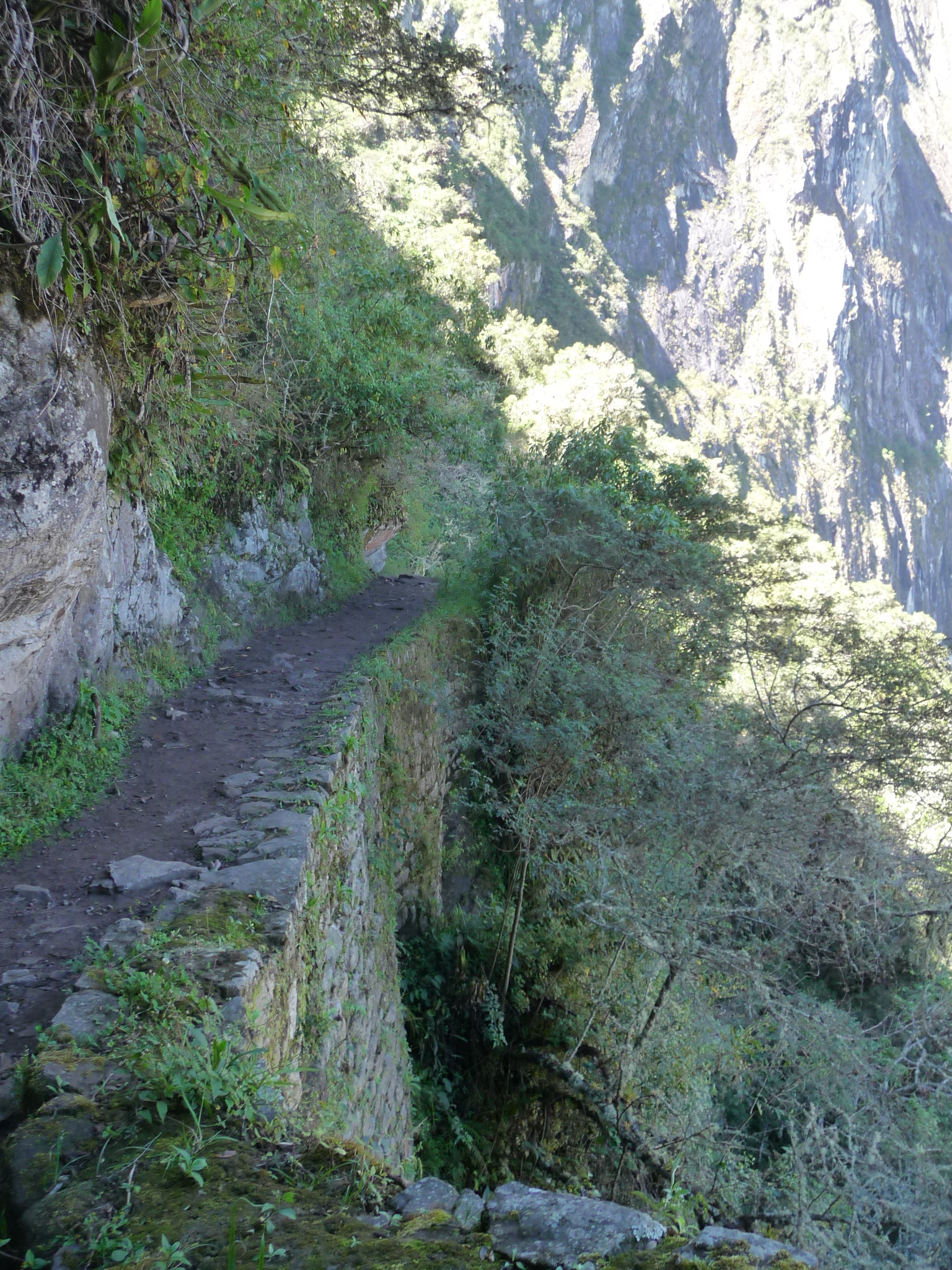
This is another vertical drop spot. As I understand it, this is an original trail (maintained of course) that was used by the Incas to access Machu Picchu.
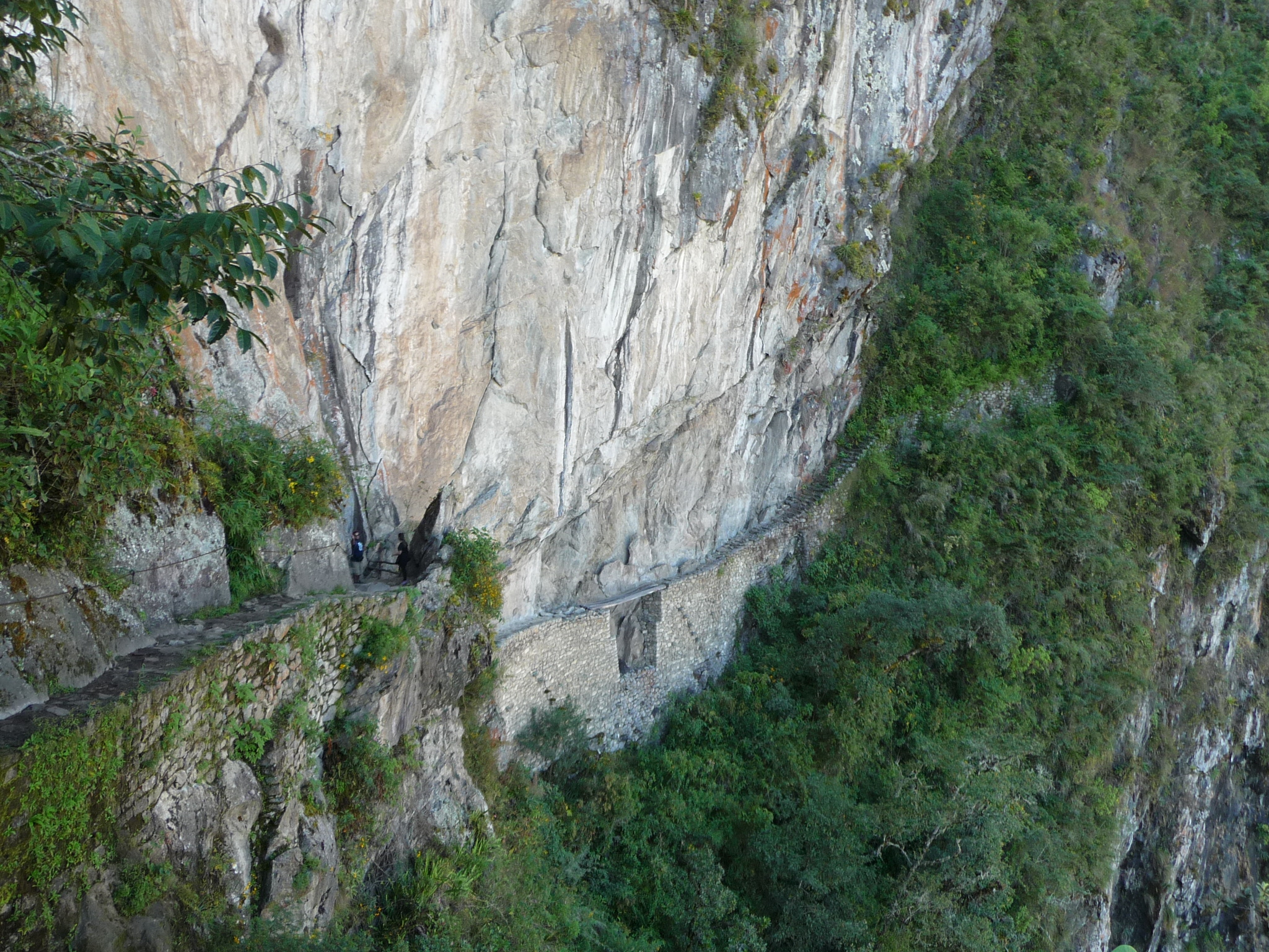
At the end of the trail (at least as far as tourists can go) is the actual “Inca Bridge”. If you expand this photo, you can see it much better. The actual bridge is in that area just above the tree line. It is a very treacherous trail that leads across the base of a huge cliff.
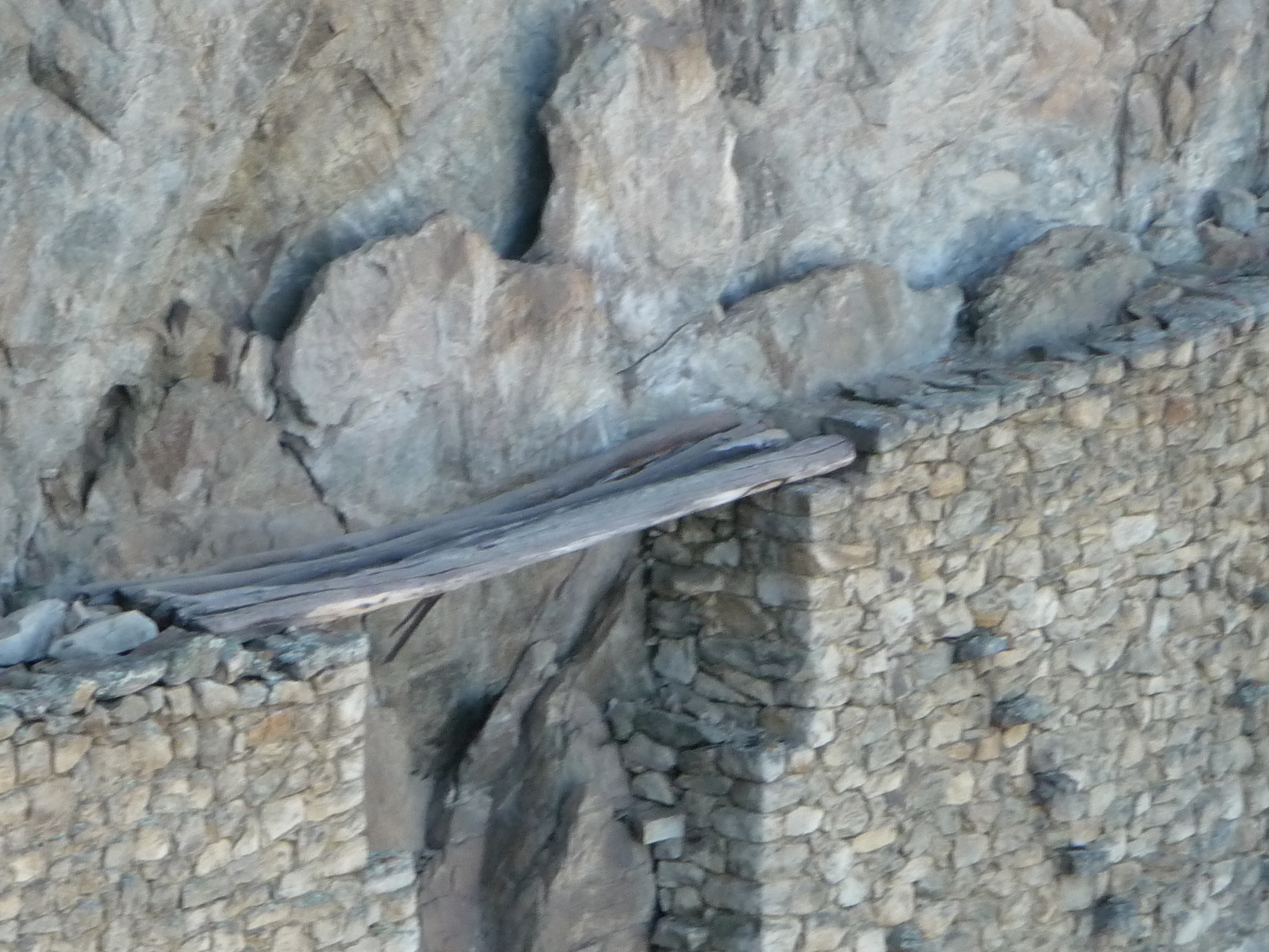
This is a close zoomed view of the middle piece of that bridge. Apparently, this used to be open, but a tourist fell off the bridge and was killed. That is when they closed it.
You can hike down closer, to the very beginning of the bridge. I did just that.
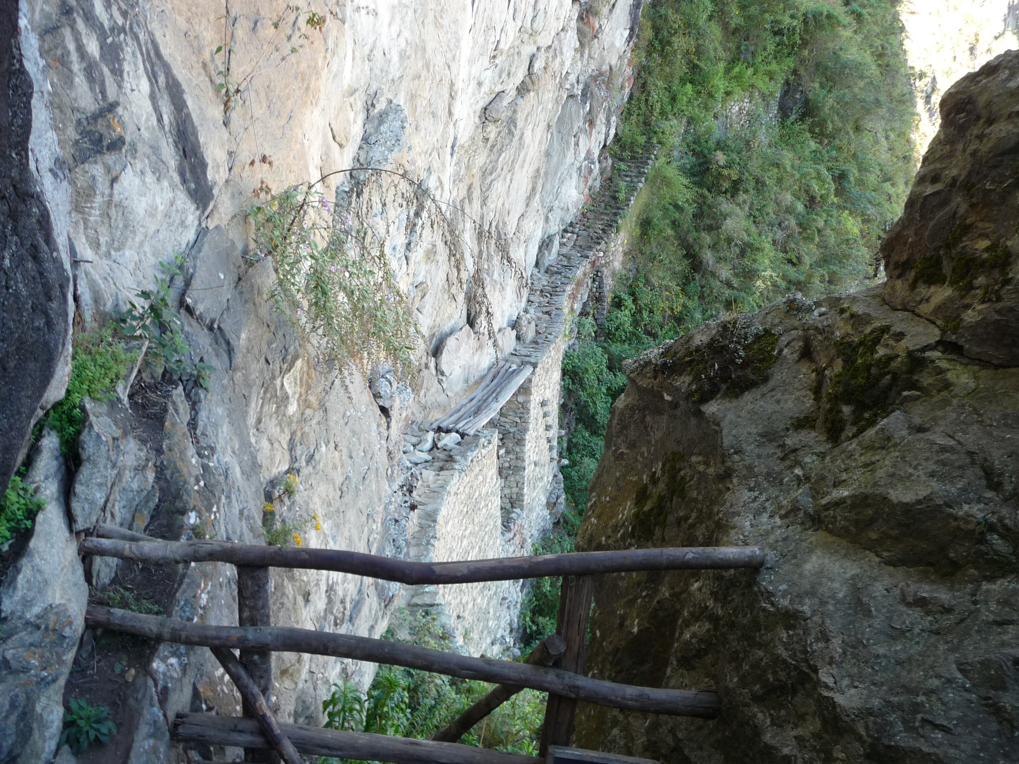
This is as far as tourists can go. The trail is blocked here. If you look closely, you can see how narrow this ledge is … and how dangerous it could be.
I can only imagine llamas walking along this trail, bringing huge multiple-ton stones from twenty-plus miles away …
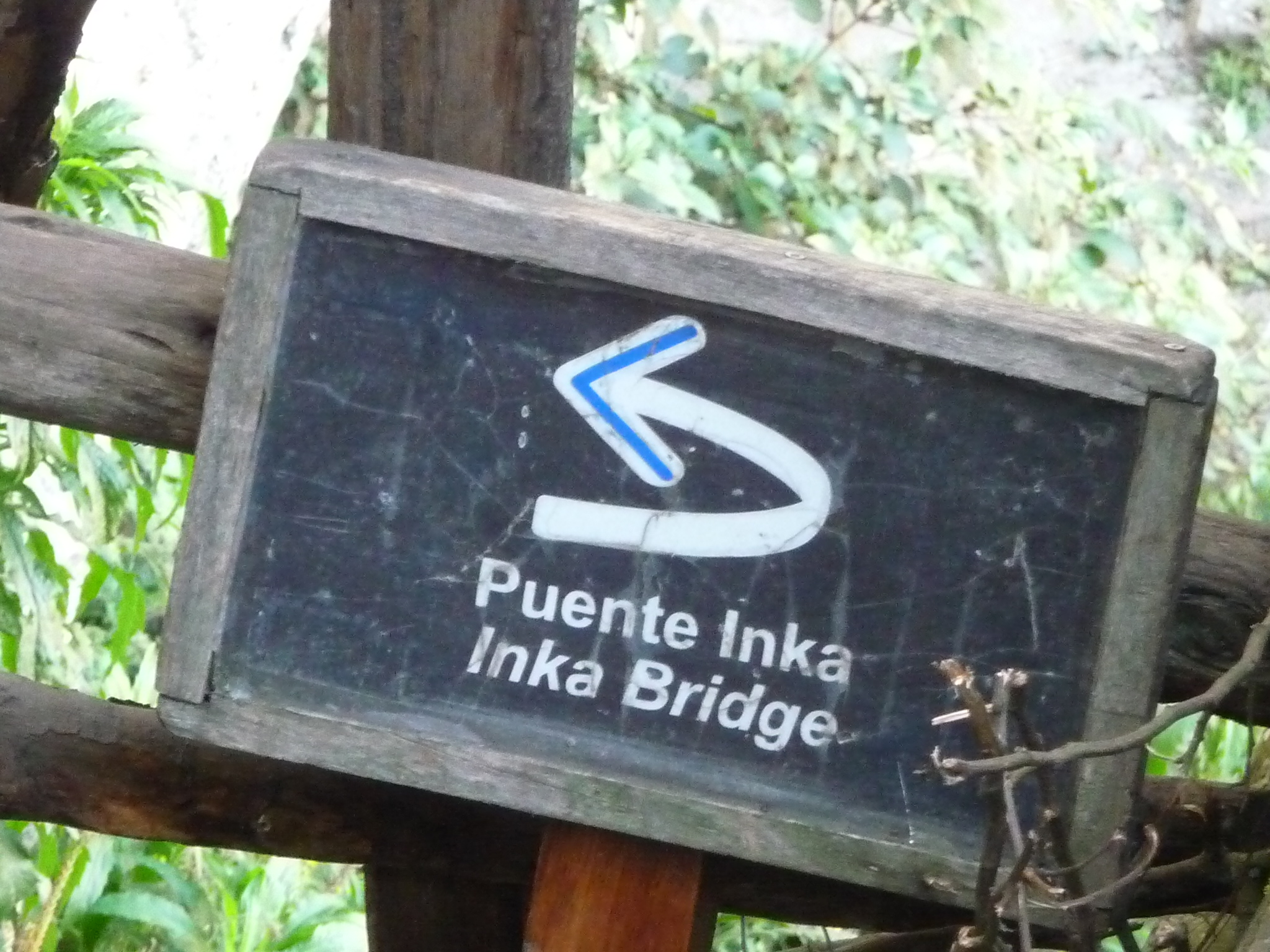
A nearby sign for the trail, reading “Puente Inka” or “Inka Bridge”.

I take a few more photos as start to return. It is not a trail for the faint of heart. In places, the trail can be intimidating.
As far as I can tell, the trail would have continued on along this cliff.
After hiking back for a while, Wayna Picchu comes back into view.
I have now settled into my favorite spot, beginning to meditate in the shade of a tree, with a gorgeous view below me.
Back To Machu Picchu
I remain meditating in the above spot from about 11:20 a.m. till around 12:30 p.m., loving the energy and the view. Finally, I return to the ruins themselves.

First, Bobby and Brenda beg me for more photos.
They love this place.

Another view of the caretaker’s hut.

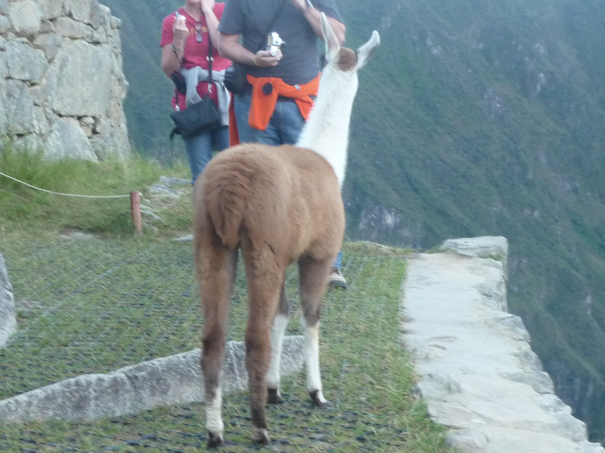
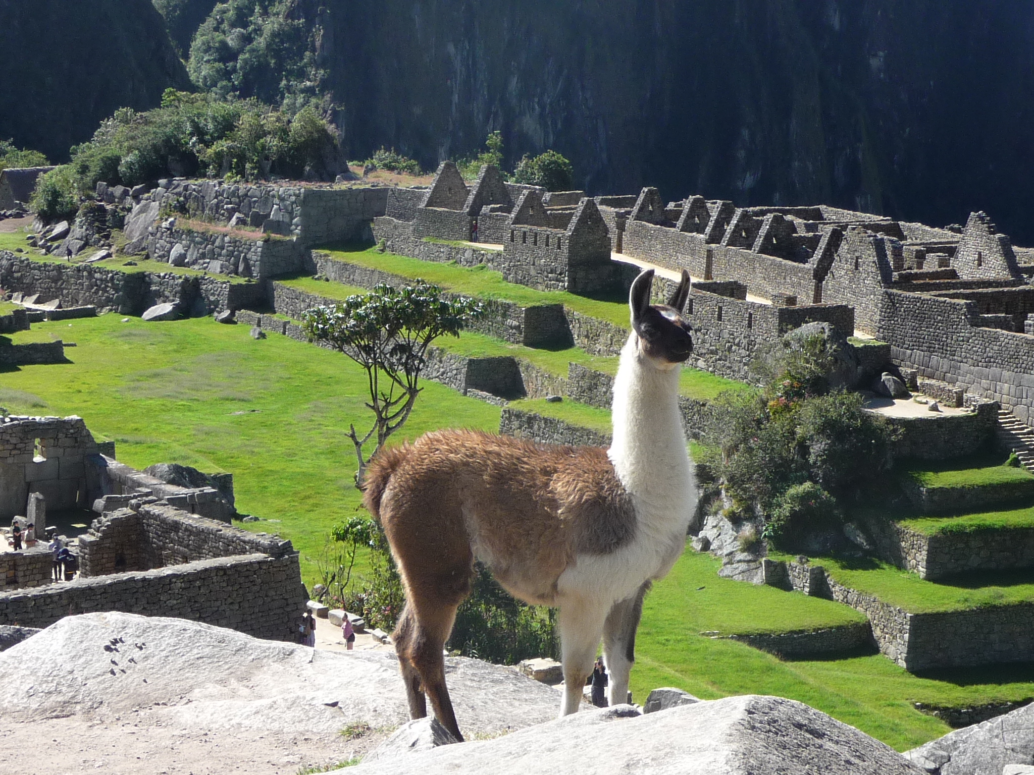
I believe these are llamas, with Wayna Picchu in the background.
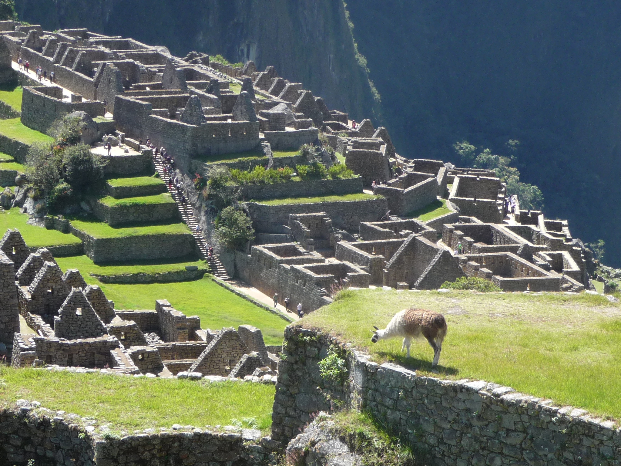
I love this view of the eastern side of the ruins. I think that is an alpaca in the foreground.

Another slightly different view
The two huts by the Wayna Picchu trail entrance, taken with a full zoom.

A curious alpaca.
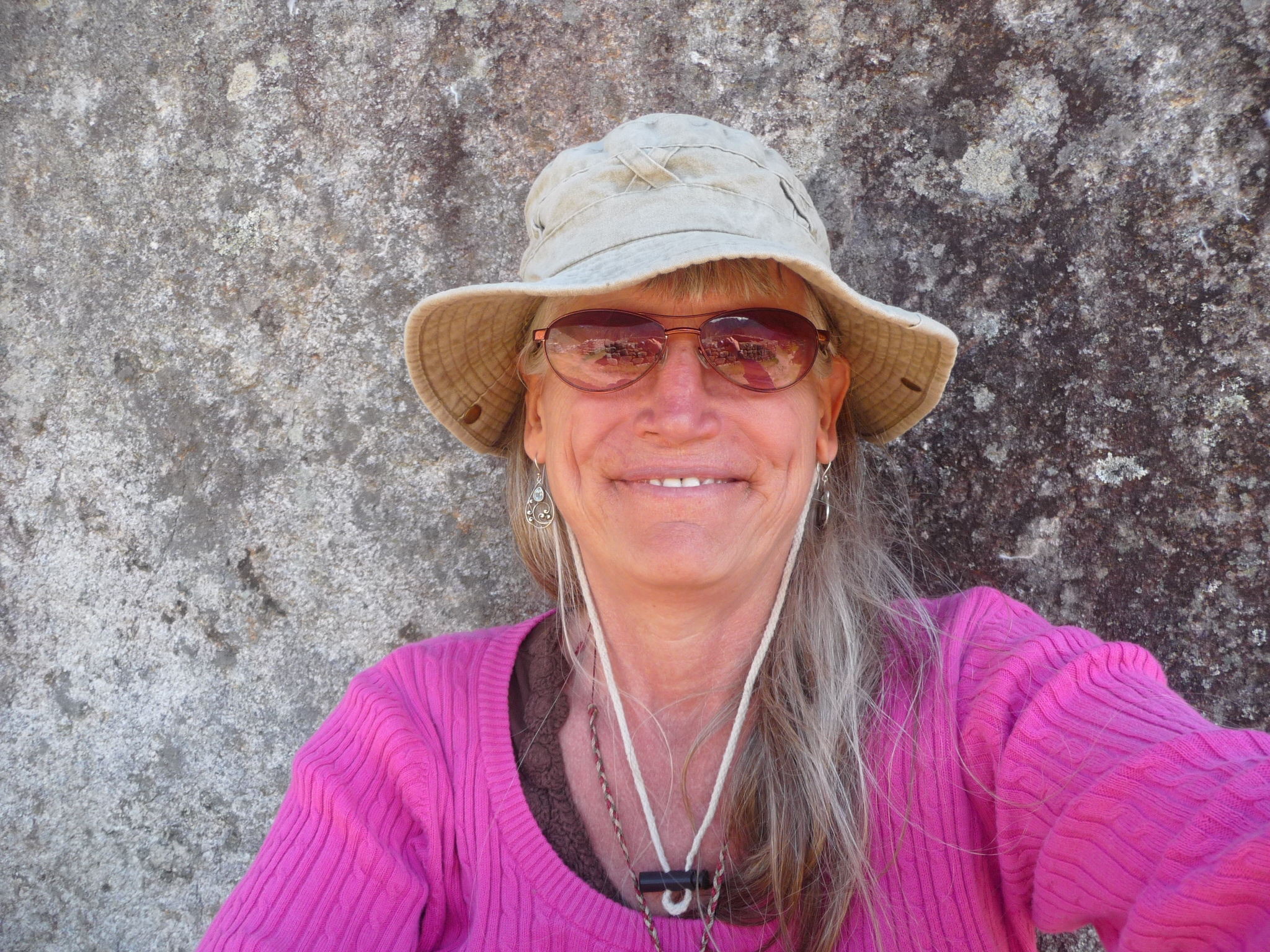
Finding more shade down in the ruins, I sit and meditated for a while longer. This is a poor attempt at a self-portrait. I wear this hat for most of the day, because the sun here (at this altitude) is very bright and hot, and I do not want to have to wear sunscreen.
This is the view from where I meditated for another hour or so.
And the little alpaca keeps visiting me from a slight distance. After a while he begins to make vocal sounds. I am shocked by the high pitched squeal that he makes, almost like a baby crying.
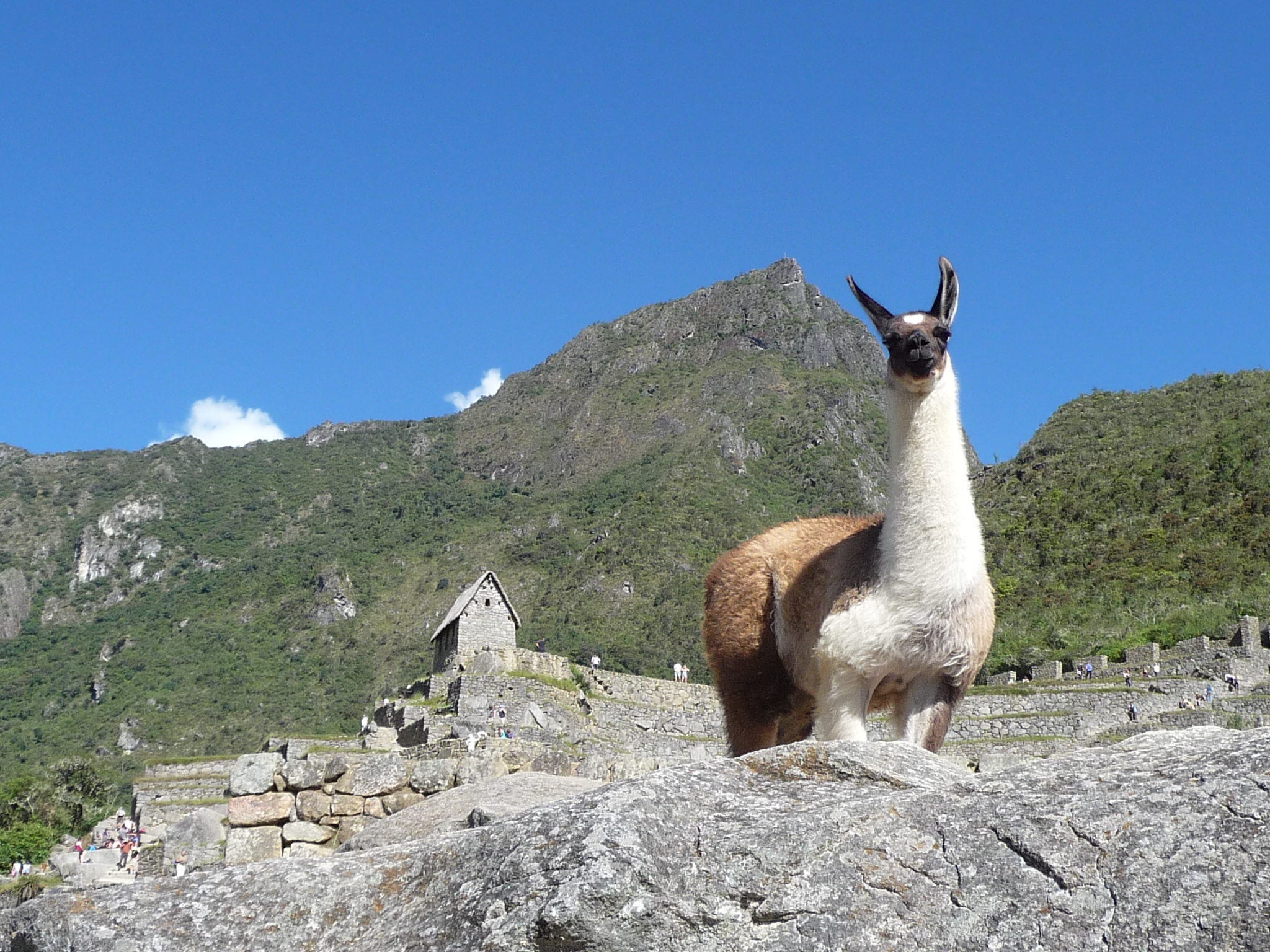
I love this photo. I am beginning to wonder if perhaps this might be a llama. One way to tell them apart is that llamas have more “banana-shaped ears” and alpacas have straight ears.

And another fun photo.
This one has the caretaker’s hut and the summit of Machu Picchu Mountain in the background.
The lighting on this one (if you expand it) came out quite beautifully. This is the little hill in the “Temple Zone”. That “hitching post of the sun” is up there.
Another one with beautiful lighting and contrast (if you expand it). As usual, that is Wayna Picchu on the left.
Playing around with foregrounds.
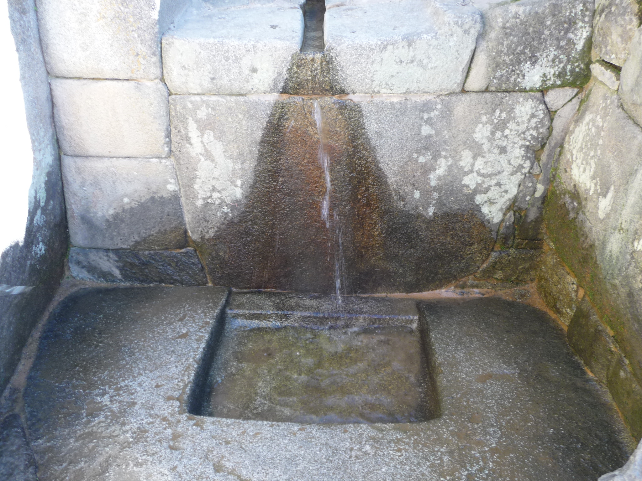
I somehow missed this earlier. It is from a natural spring, right in the middle of the ruins.
On the eastern side, looking down at that beautiful monolith-like mountain between Machu Picchu and Aguas Calientes (which is down the river just to the right of that tall skinny mountain).
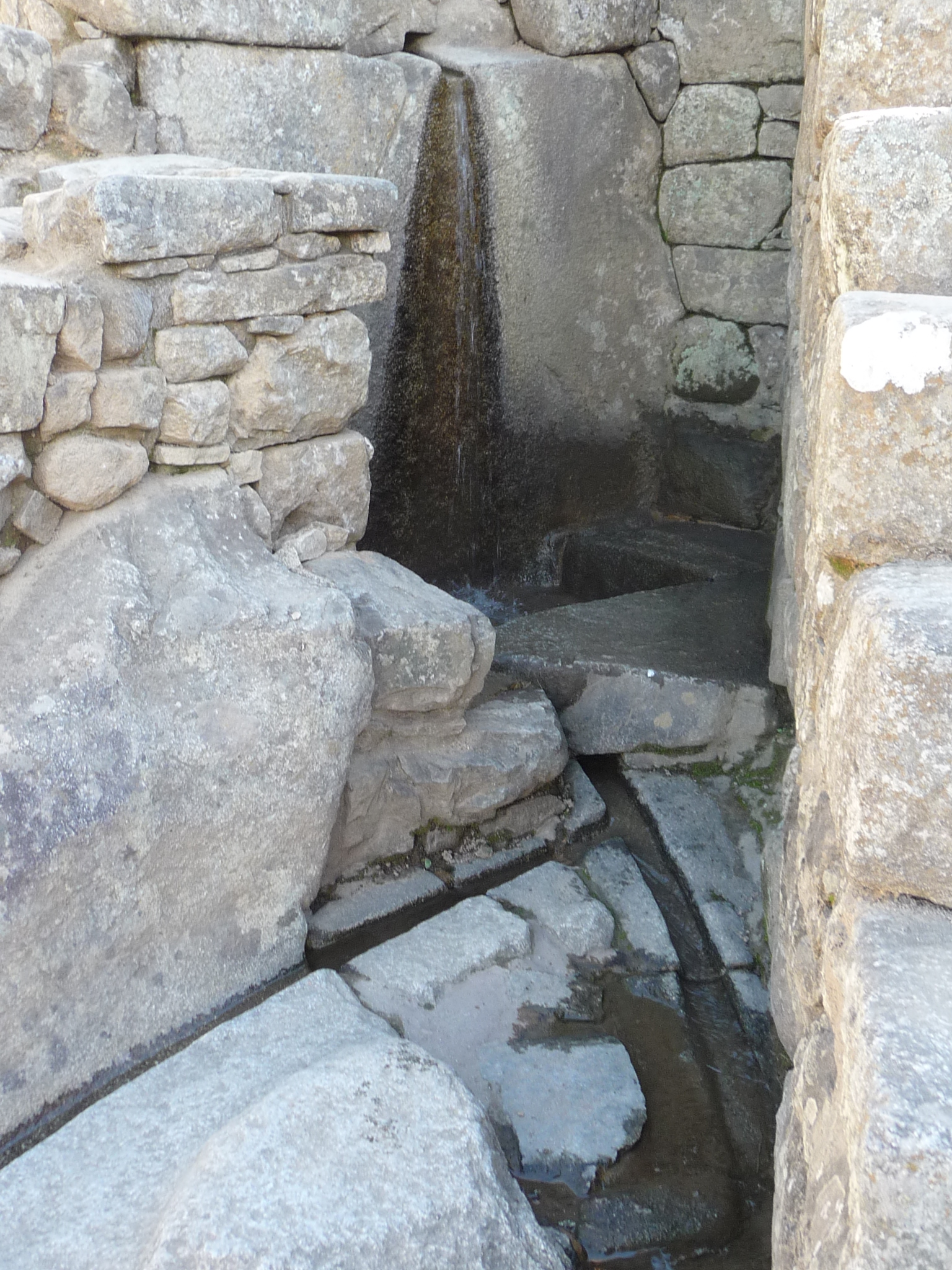
Can’t quite remember what this is. I think it is the upper part of the little spring. You can see lots of water if you look closely, coming down the wall in the back, and then running down a small channel in the right foreground.
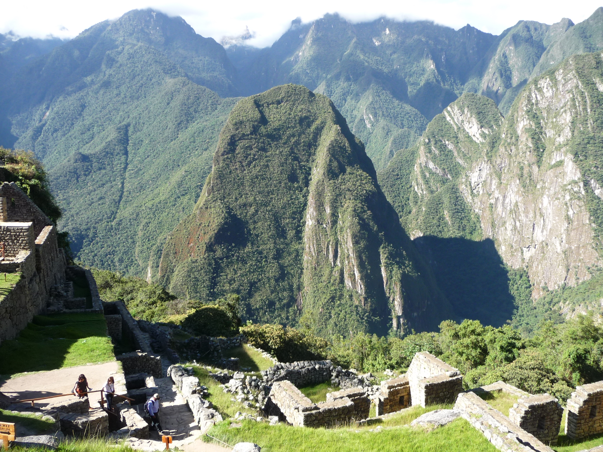
Another view looking down over the eastern side of the ruins at the valley and mountains below.
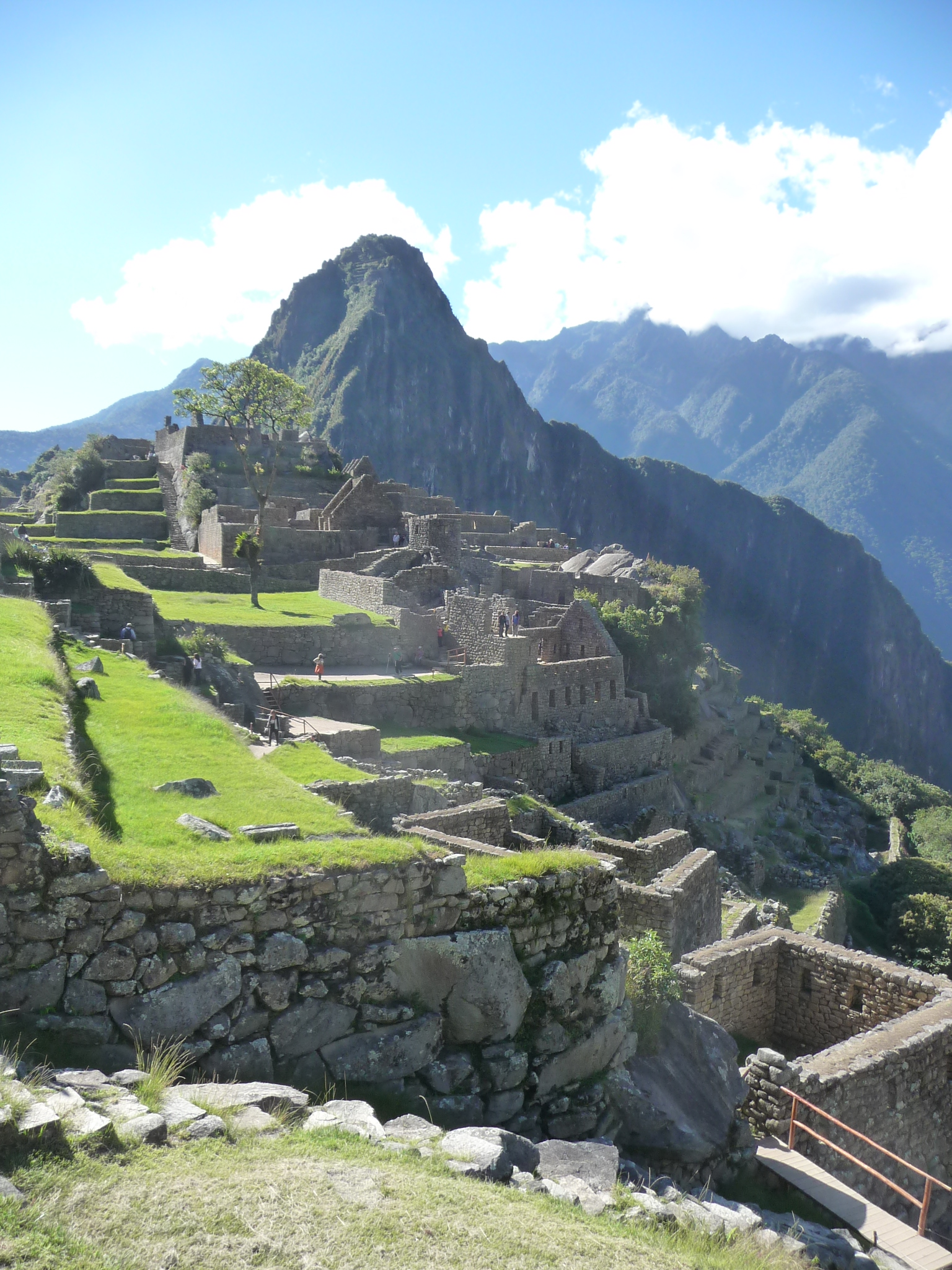
And one final view from my first day in Machu Picchu, This one is looking back at the eastern side and Wayna Picchu as I walk back toward the entrance gates …
Back To Aguas Calientes
Shortly after that last photo was taken (around 2:30 p.m.) I return to the entrance gate and line up to catch a return bus. Soon I am zigzagging back down the mountain, returning to Aguas Calientes about a half hour later. This next group of photos is from some additional explorations of the town itself.
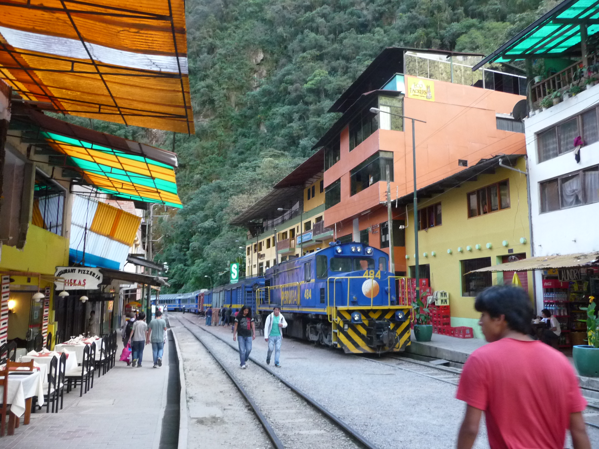
This is the street in front of my hotel. My room is up above the train.
Looking the other way down the same street.
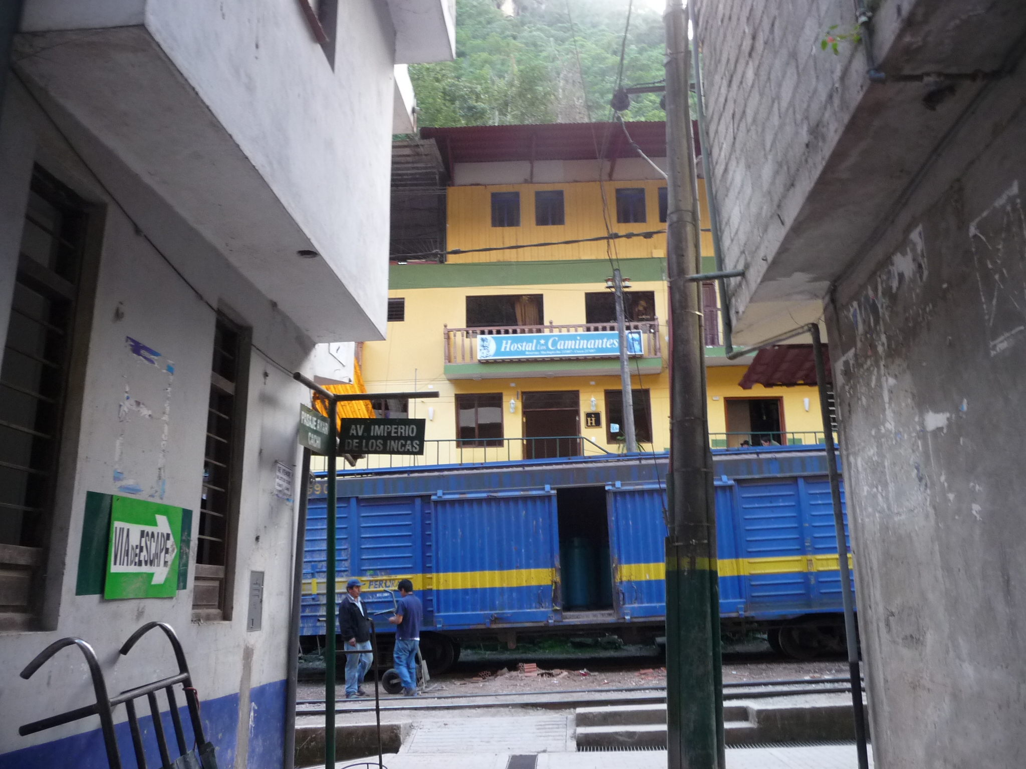
This is the sign of my hotel (in blue) just above the train car. My hotel is “Hostal Caminantes” which translates roughly as Hostel of the trekkers or walkers.
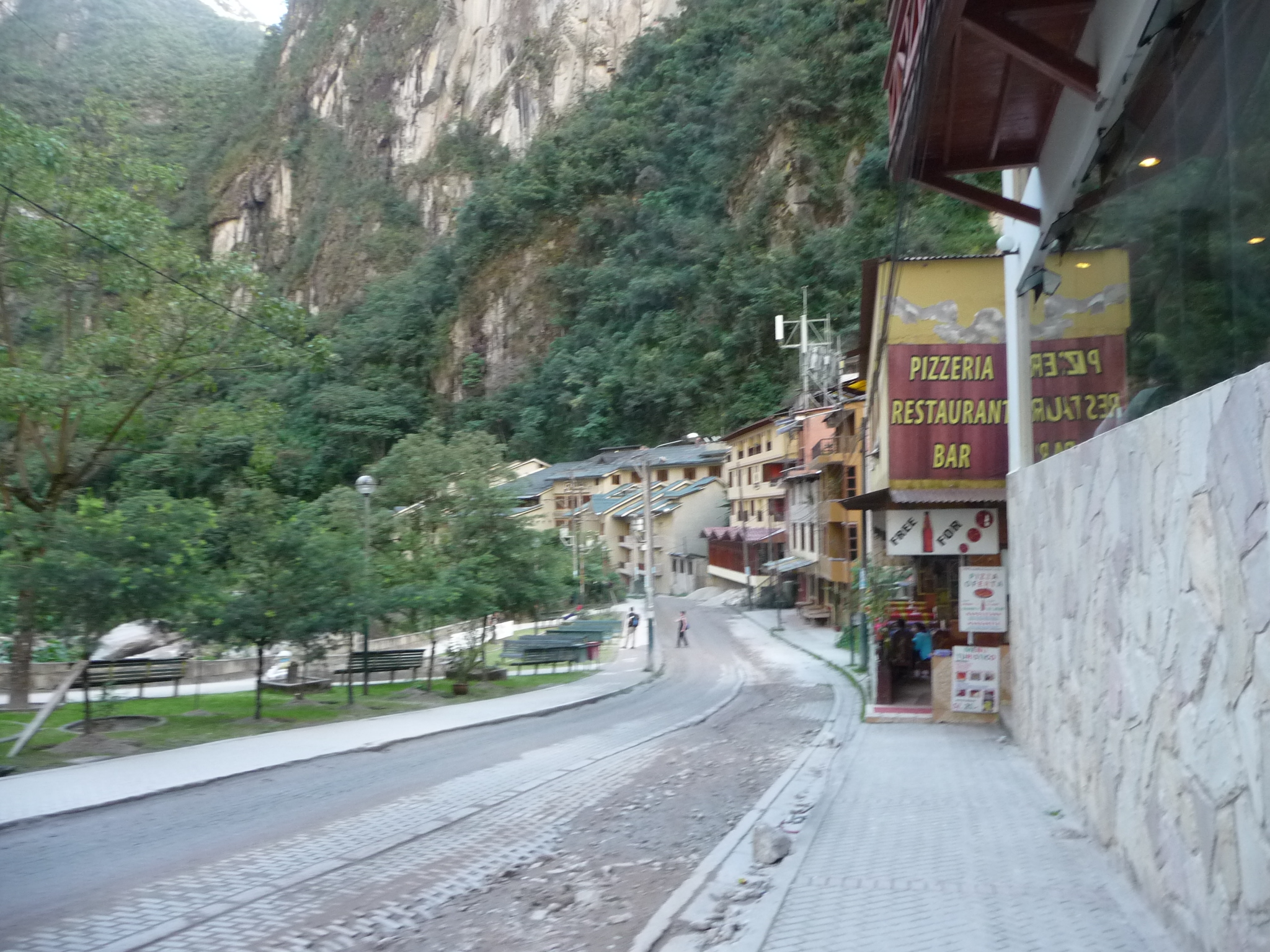
This is a photo of the edge of Aguas Calientes, near the river (just beyond the trees on the left). This road is the one that leads toward Machu Picchu.
In fact, in the bright area, just above the “V”, is Machu Picchu. All you can see from here is mountains, but the ruins are up there.
Another similar photo.
This is the same camera angle, just zoomed in all the way. The buses zigzag up the side of that mountain and drop you off on the top.
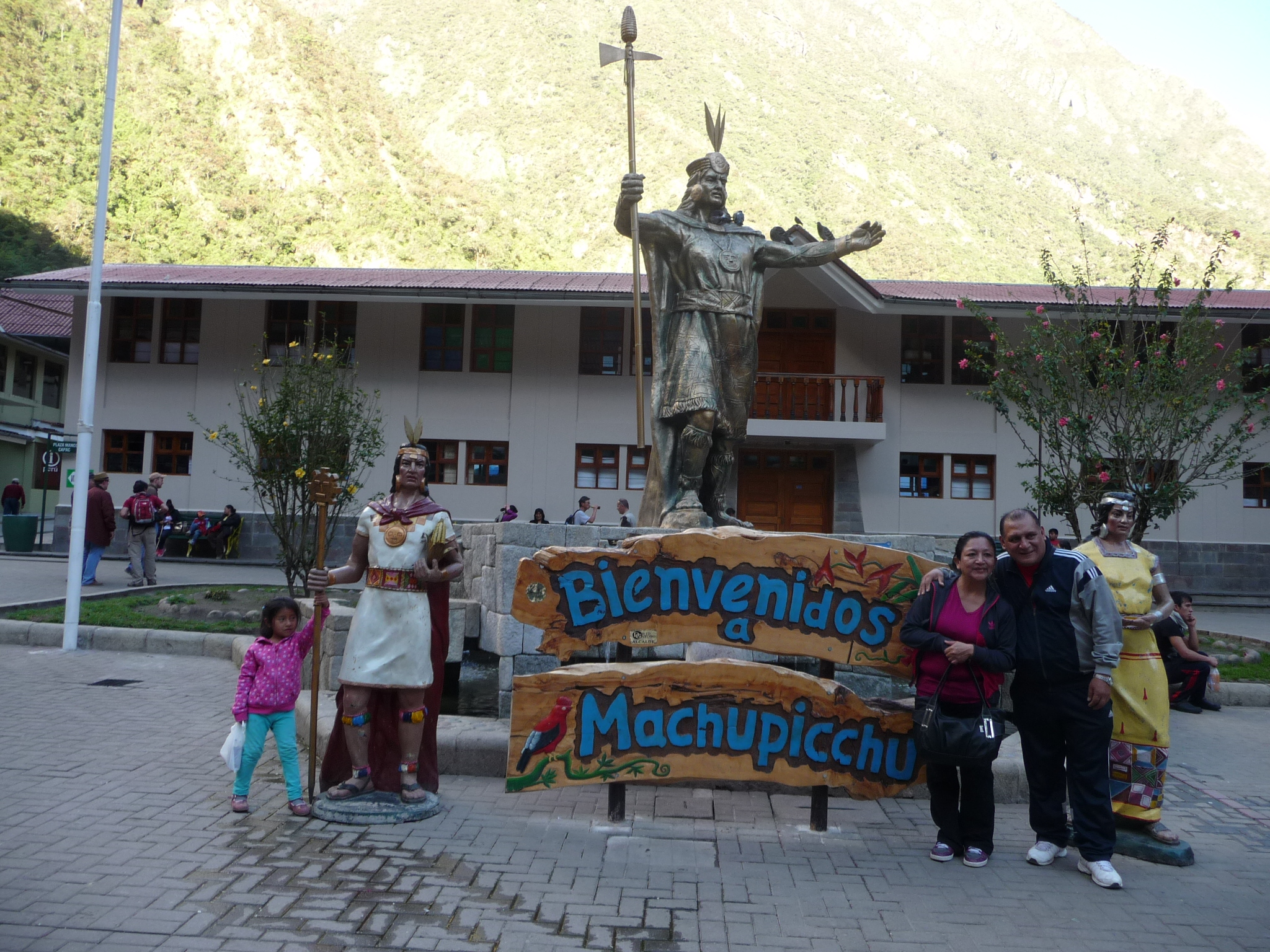
This is taken in the town square of Aguas Calientes. This Inca Statue draws a lot of attention. I sat here for hours on end, a couple of times, watching tourists stream by. Almost everyone stops to get a photo around this sign.
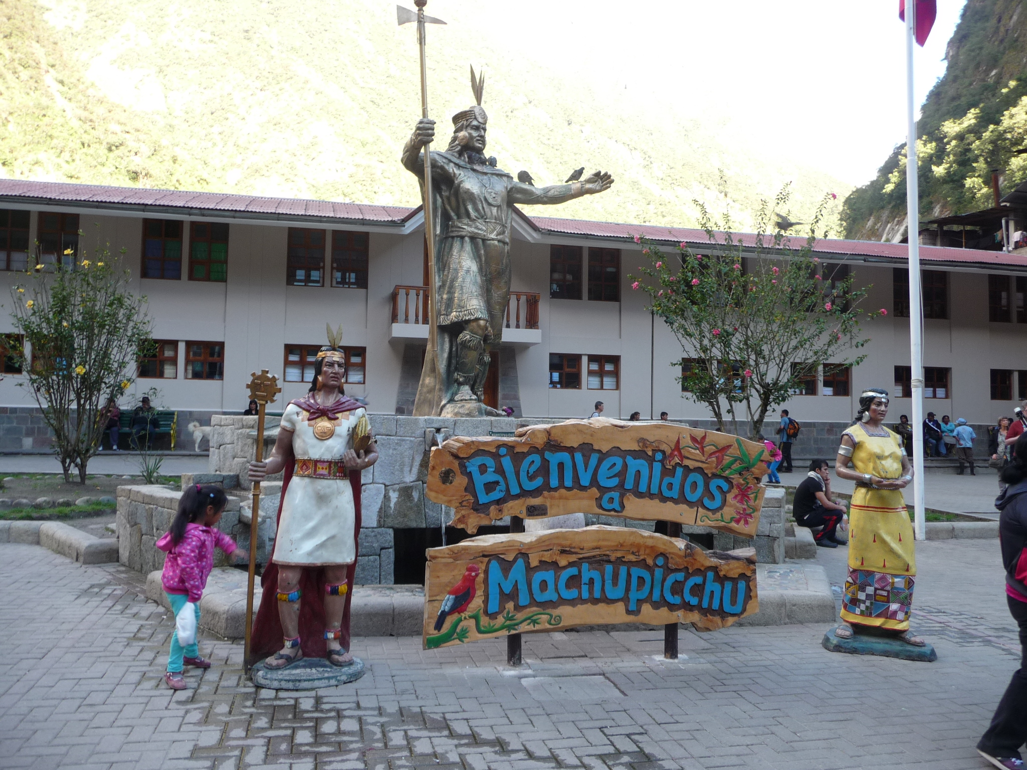
And another of the same place, with slightly better lighting.
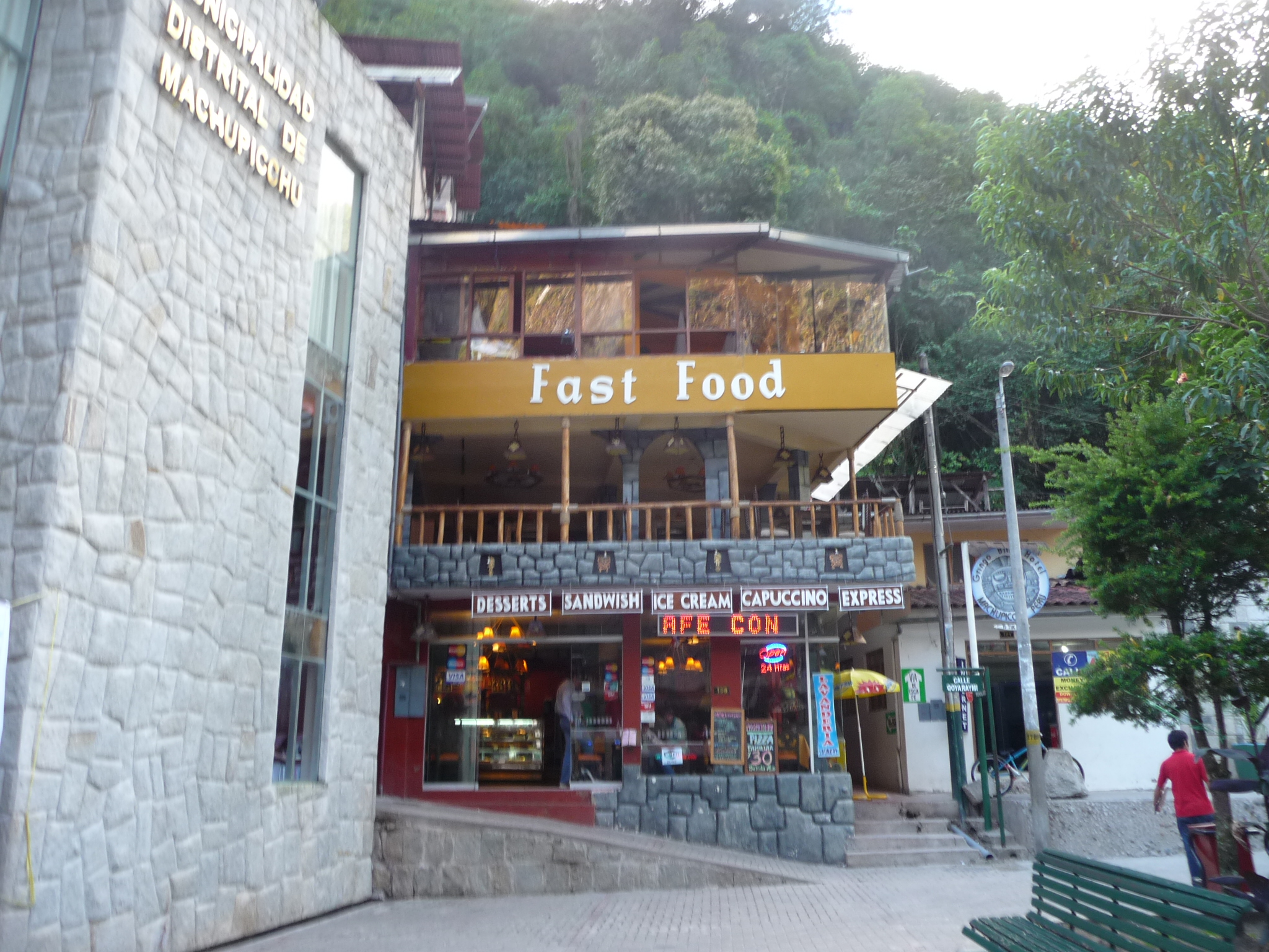
I eat here several times. The food in Aguas Calientes is quite expensive. On my first day I ate at a tiny restaurant that advertised an inexpensive meal. But then, they tacked on an exorbitant mandatory tip and charged me about four times the going rate for a small bottle of water. Rather than deal with such tactics again, I just keep coming back here for a simple burger.
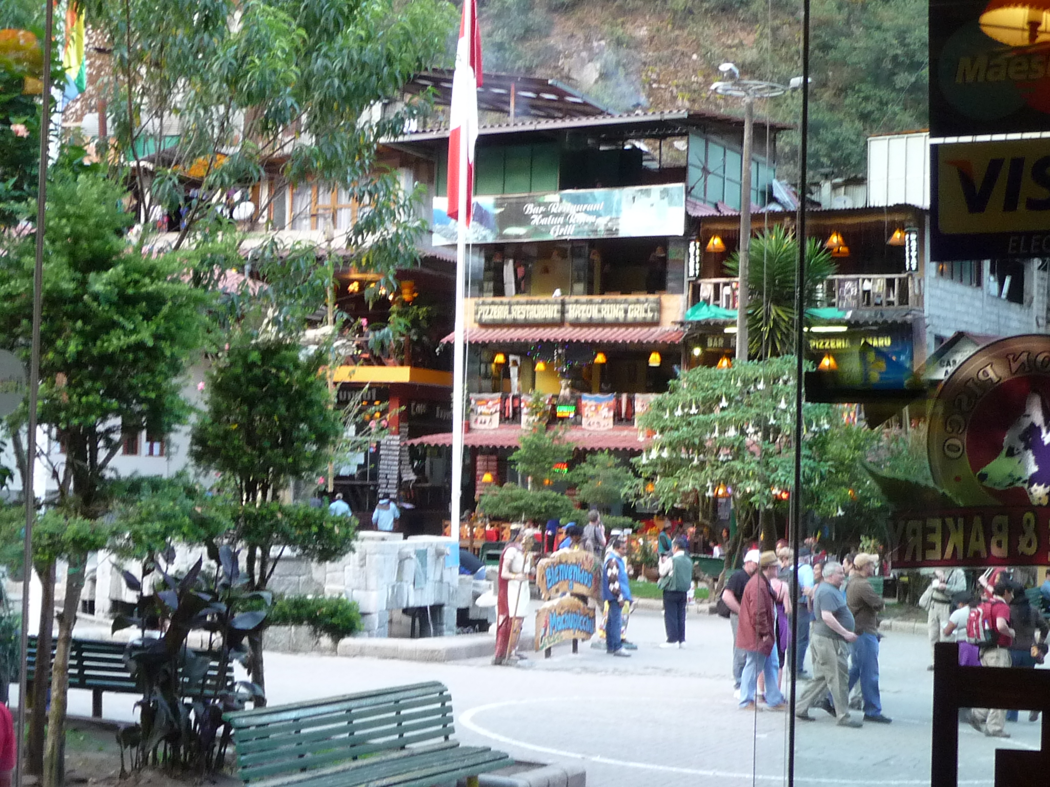
Some of the buildings around the central plaza.
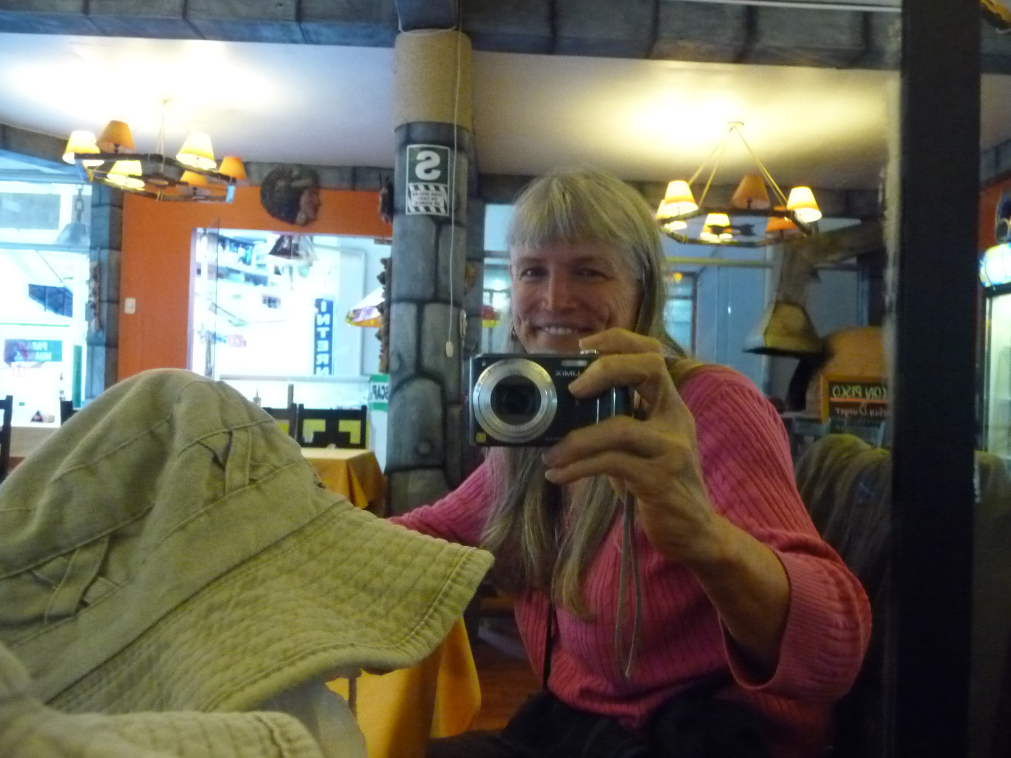
Taking a photo of myself in a mirror at the burger restaurant.
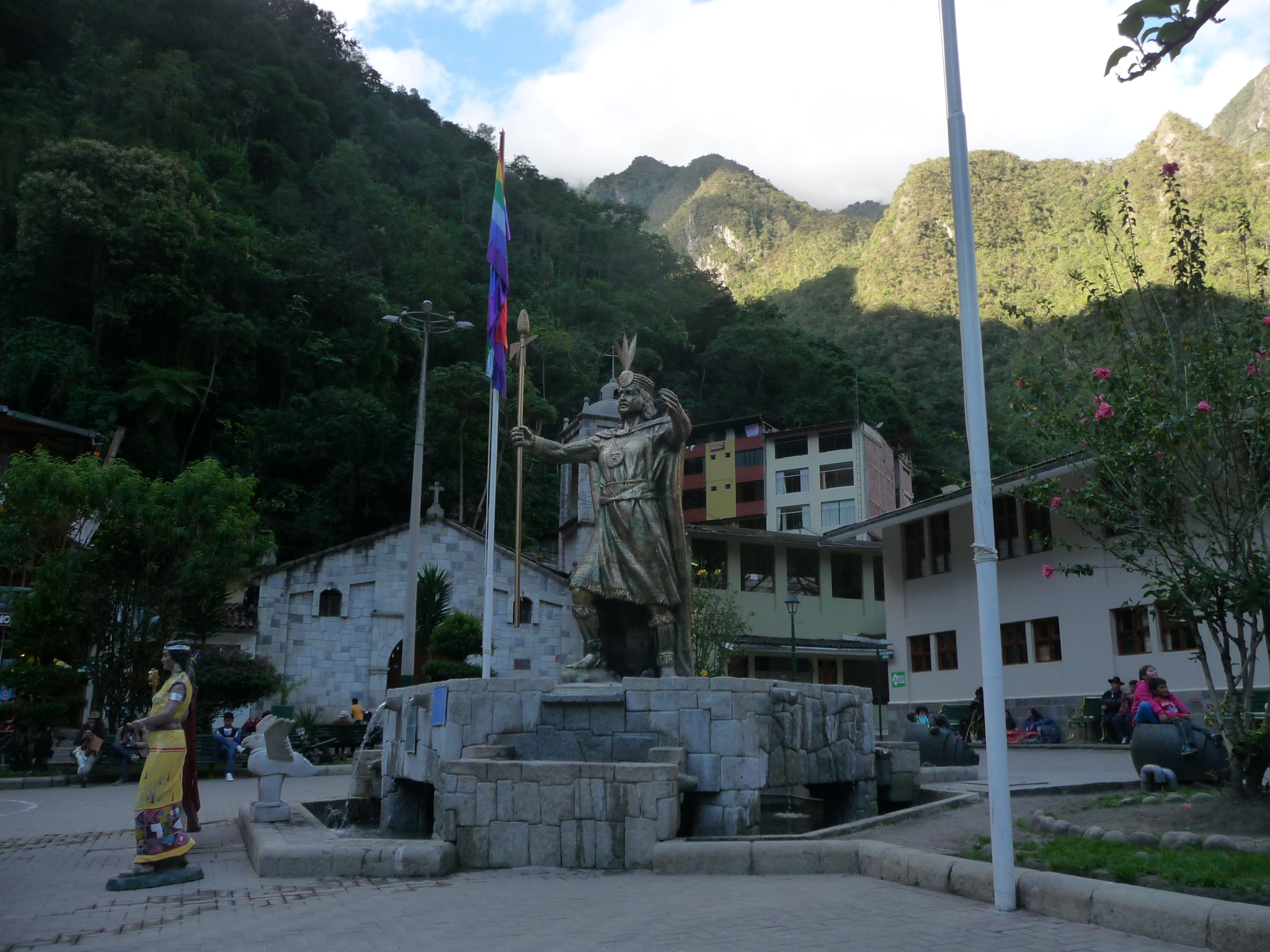
And one last photo of the statue in the middle.
While standing in the plaza, I take this photo (with full zoom) of a nearby cliff. Those are orchids growing on the side of the cliff.
And a similar photo …

The same photo, but without any zoom. The cliff is that one right in the middle.
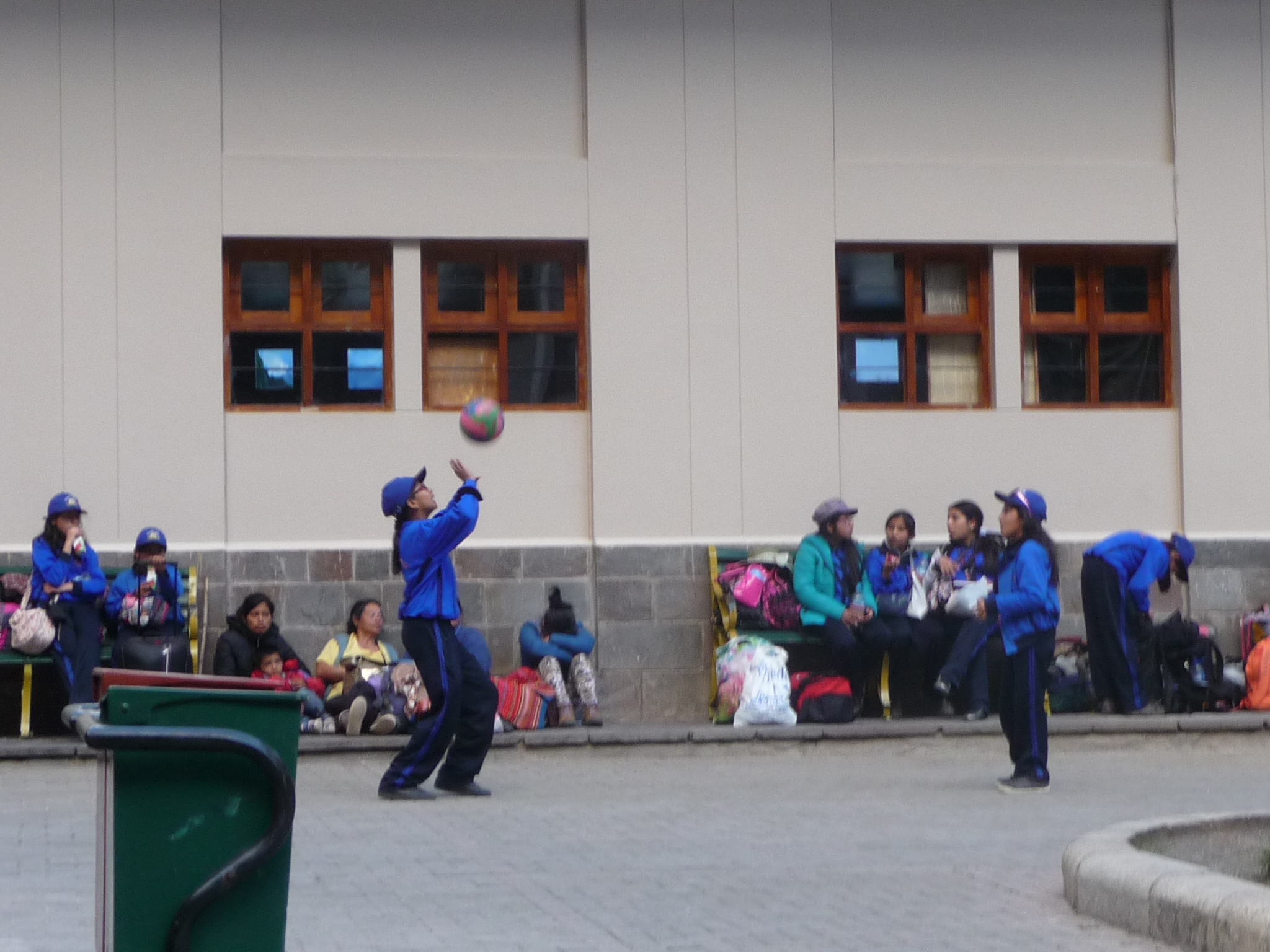
Some school children playing in the central plaza.
And this is my final photo of the day.
It has been a magical and beautiful day, but I am very tired. The sun is now behind the mountains, it is getting cold, and I go to bed as soon as it gets dark (shortly after 6:00 p.m.).
This is the end of my first Machu Picchu photo post. Very soon, I will publish part two, which will include 116 additional photos, covering my second full day in the ruins, with most of the emphasis being on my hike up Wayna Picchu. The final photos will then cover my train trip back to Ollantaytambo later that evening.
Copyright © 2014 by Brenda Larsen, All Rights Reserved