Over the past ten days I traveled from Flores (near Tikal) all the way to the town of Quetzaltenango (more commonly called Xela). It has been an incredible journey through Guatemala’s backcountry highlands. Following are the highlights.
As usual, every photo here is a thumbnail image. You can click on any photo to download a higher resolution image.
Flores to Semuc Champey
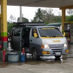
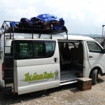
This is the little tourist mini van that we took from Flores to Coban. Only five of us made the first leg of this journey. I had a whole bench to myself in this air-conditioned little van.
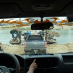
A view out the windshied as we approach our little river-crossing platform by the town of Sayaxche. Believe it or not, we fit three rows of vehicles on this platform. Smaller ones on the outside (right and left)–Big trucks in the middle.
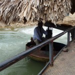
This is how our platform was piloted across the slow river. This man climbed down into this little captain’s seat and cranked up a 75 horsepower outboard motor. The platform has one of these little motors on each corner, but only this one was used.
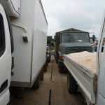
From the front of the platform, looking down the row of large vehicles being taken across the river.
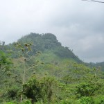
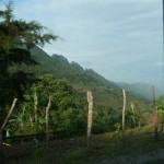
Just one of the continuous beautiful views we had driving south through this hilly part of Guatemala.
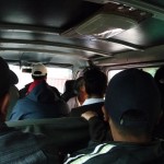
After five hours, our nonstop, direct journey to Lanquin was interrupted by a two hour wait while our driver decided to put us on this other shuttle. This one was very crowded and not air conditioned. Our whole journey to Lanquin took 8.5 hours.
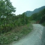
Some of the beautiful countryside between Coban and Lanquin.
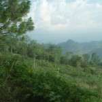
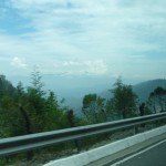
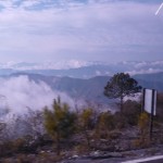
Many of our roads took us over the ridges of very high mountains with spectacular views of the valleys far below.
One of many views from the top of the mountain, looking down toward the valley.
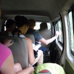
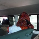
A view inside our crowded little bus with 13 tourists.
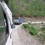
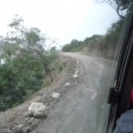
Looking out the window of our van as a larger truck and a small pickup attempt to pass each other on the road ahead.
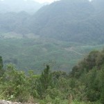
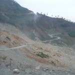
Another view looking down at the valley below. You can barely see the winding outline of the road we followed up the side of the mountain.
Semuc Champey
We arrived in Lanquin so late that the place I wanted to stay was full. Getting out of the way and following my promptings, I ended up in a beautiful eco-tourism hostel in “Semuc Champey”, about 11 kilometers over the top of a very tall mountain.
A view as we descend from the mountain top down toward the tiny village of Semuc Champey. You can see part of our future road just to the left of the tree in the center. Further down the mountain in the lower right you can see more of our future road as we drop back down into the valley.
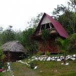
A view of my room at the Hostel El Portal in Semuc Champey. In the bottom left is the bathroom building. The larger cabin in the middle is actually three rooms. My room is on the bottom left, closest to the bathroom building. I have a little hammock on my porch. The room where Gael and Clara were sleeping is on the right with the other hammock. Directly above us is a large shared dormitory room–a room that does not even have walls or screens on the front.
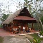
This is the restaurant building at the Hostel El Portal. This place is beautiful, as are the surrounding views.
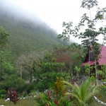
A morning view from my front porch.
A gorgeous view of my cabin (far right) as seen from the restaurant building.
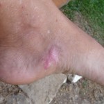
I threw this photo in to show that I am still healing from my 3rd degree burn last November. Three weeks ago I got a large blister on the burn after hiking/swiming in Finca Paraiso (in Domingo’s sandals) in the thermal waterfal and cave swim. The blister is finally healing, but my foot still requires special care.
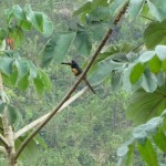
A small “toucanette” bird sitting in the tree right in front of my room.
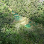
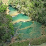
The first stop of an all day tour that I took on Saturday was to the “Mirador” (lookout point) high on a mountain overlooking the cool water pools of Semuc Champey far below. The view was gorgeous. I ended up swiming in each of these pools.
Zoomed view of the pools as seen from the lookout point high on the mountainside.
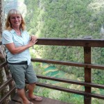
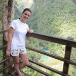
Me, standing on the lookout platform, high above the pools below. You can barely see the pools between the boards just right of my legs.
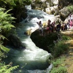
In this photo we are back down in the valley floor, just above the very top pool. The river Cahabon is rushing below, about to enter a huge cavern. This rushing river runs underground, below the entire expanse of these beautiful pools.
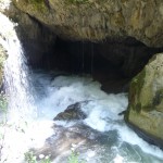
This is the entrance to the cave below where the river begins to flow underground.
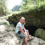
Me, sitting on the edge, above where the river flows down into the cave below. The pools begin above me, at the top left of the photo.
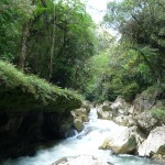
One final beautiful photo of the river running from up the canyon, right before it plunges into the cavern below me.
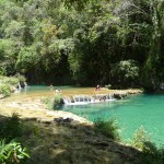
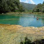
Two of the beautiful upper pools at Semuc Champey. The previous photos of the river running into the cave were taken just beyond the far end of the upper pool.
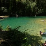
A view of one of the middle pools.
Looking down toward pools further below.
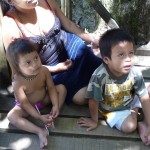
Two darling little children sitting on a boardwalk by the pools.
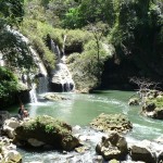
One of the lower pools, being fed by a waterfall from an upper pool.
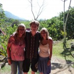
Me with my friends Gael and Clara–from Montreal. I developed a very close bond with this darling young couple who occupied the cabin room right next to mine.
This is my friend Jennifer from Australia. I met her on our all-day tour around Semuc Champey. Here she is standing on the lookout overlooking the pools of Semuc Champey below.
Coban
After leaving Semuc Champey on Monday morning, I spent one day in the town of Coban, about two hours away. While there, I oriented myself to my upcomming travels.
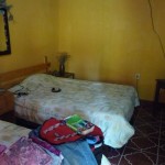
The inside of my room at the “Casa Luna”. This was a nice little place, with good wireless internet.
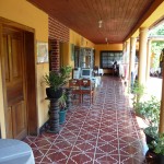
The courtyard right in front of my room (first door on left). My shared bathroom was the next opening, just beyond the plants. Casa Luna was a delightful place to spend the night, and it only cost me $10.
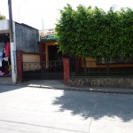
The outside entrance to Casa Luna. From this view, you would never know what is inside.
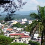
A view of the central Coban area as seen from a lookout on a nearby hill.
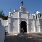
The “Templo El Calvario”. This is a tourist attraction on the hill from where I took the previous photo.
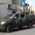
A unique photo of soldiers in downtown Coban, in front of the Banco Industrial (Industrial Bank). It is quite common to see gun-carrying soldiers all over Guatemala, but this is the first time I saw a machine gun mounted in a truck.
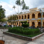
One of the municipal buildings in the central plaza of Coban.
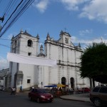
An old church adjacent to Coban’s small central plaza.
Trip To Nebaj
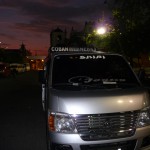
At 5:20 a.m., I boarded this little “Camioneta” – a public van headed to the village of Nebaj (pronounced nay-BAH). I rode for about five hours on this little transport. At times we had more than 25 people crammed inside and on top. If you look closely in the background, you can see the top of the same church from the previous photo. It is still dark in Coban’s central plaza.
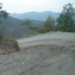
This is the narrow dirt road that we were following through the mountains about one hour into our trip–right before we came to the mountainside where a huge rock/landslide had occurred about one year ago.
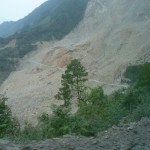
A view of the massive landslide as we approach from the east. I am told that over 500 people are burried under the rubble.
The inside of our crowded van. It doesn’t look too crowded here. At this point we probably only have about 18 or 20 adults in the 15 passenger van.
A view of the landslide looking from the west, back toward the east. We have just finished crossing over the extremely narrow, bumpy, road.
Looking out the window as we proceed down the steep-sloped mountainside.
Another view out the window. The mountain scenery was beautiful, but I had a very difficult time snapping photos out the window.
Part of one small village high up on a mountain top. Many of the homes here in the highlands are made of adobe with ceramic tile roofs.
One of many such large farms that we passed high up in the top of these beautiful mountain villages.
Again, notice the building construction–adobe with ceramic tile roofs. I was very surprised to see irrigation sprinklers being used on many such farms along the way.
Another view from my window from the top of a ridge. Considerable haze made it difficult to capture a quality image of the mountain valleys far below.
Another view out the window. The photo is blurry with window reflections, but you can see a village down the road on the top of a mountain to the left.
Coming down the mountain, approaching the larger town below. Again, I appologize for the poor quality photos.
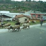
A Mayan woman with a small herd of sheep in one of the small mountain-top villages. Small herds of sheep were quite common along these beautiful roads.
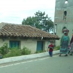
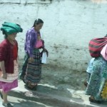
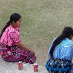
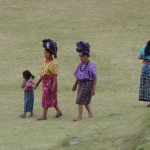
Several Mayan women walking with their children in one of these mountain villages through which we passed.
A hillside farm, near the top of the mountain. In this photo, we are climbing over a tall mountain about to descend into the valley where Nebaj is located.
You can’t see it well in this photo, but Nebaj is at the bottom of the valley below.
Nebaj
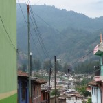
A typical view in the small town of Nebaj, which has about 11,000 residents and is about 6200 feet above sea level. The whole town sits in a natural bowl, surrounded on all sides by tall mountains.
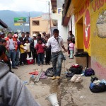
This young man was hosting some type of street meeting by the town square. He was selling some type of vitamin substance from snakes. On the ground to the left (his right) is a large snake skin from Mexico. I watched for several minutes as he gave his animated presentation.
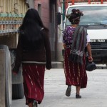
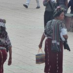
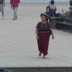
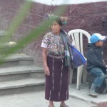
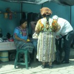
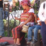
This beautiful town is predominantly Mayan, and most all of the mayan women wore outfits similar to these. All wore skirts made from a heavy red or reddish-brown fabric with vertical stripes running every few inches.
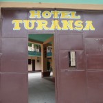
The outside entrance to my Hotel. Doesn’t look very nice from the outside, but if you look closely, you can see an inviting courtyard on the inside.
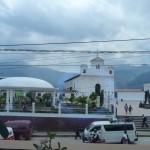
The town square of Nebaj as seen from the window of a restaurant directly across the street. In fact, this is the only restaurant that I could find that was open. My only other food option would have been to eat street food from the markets.
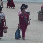
A candid shot of more Mayan women walking near the central plaza. I tried to take only candid shots. I felt uncomfortable taking too many photos out in broad daylight—not wanting to come across as the insensitive tourist.
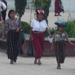
More of the beautiful Mayan women (and girl). I love their fancy head scarves.
Two more women with fancy head gear. You can’t see the one on the left too well in this thumnail image. You will have to download the full photo to see it.
And another.
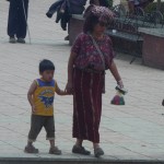
Quite the contrast seeing this beautiful Mayan woman in traditional clothing, holding her son’s hand in a batman shirt with everyday pants.
For some reason, only the women and girls wear traditional clothing here. The men and boys have a much more western-world look.
I love this candid shot showing this woman’s head scarf.
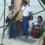
Another photo showing the contrast. Men in jeans with hats. The Mayan woman in her traditional outfit holding her baby.
Trip To Huehuetenango
Wednesday morning, I took a 7:30 a.m. camioneta from Nebaj to Huehuetenango (Pronounced way-way-ten-AWN-go). I had one van change in the town of Sacapulas.
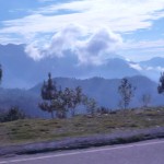
A beautiful mountain scene from high up on the ridge near the mountains surrounding Nebaj.
Another similar view with mountains in the distance and a deep valley below. If you look closely, you can see hints of the town of Sacapulas in the distant valley below.
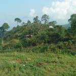
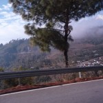
Looking from the road at the top of a ridge. The little village to the right of the tree is right on the very top of this mountain, with valleys on both sides.
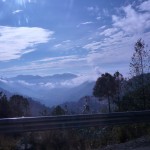
More beautiful scenery from high in the mountains. Sorry for the poor quality of the photos.
After switching to a new van in Sacapulas, I captured this photo before we were overcrowded with new passengers. This is a great view of the back side of this woman’s head scarf. Not all were the same, but this type was very common. It appears to be designed so that she can pull it forward, creating a flat platform on top her head to help her carry things.
Mayan woman near the street in one of the small towns. I was very surprised to see completly different colors here. The reddish-brown skirts with vertical stripes were totally unique to the Nebaj region.
In this town, the Mayan women were wearing reddish-brown skirts with horizontal stripes.
And these women seemed to wear whatever they liked with no obvious patterns.
Farms such as this were quite common along the road as we passed through lower valleys.
Back in our van, looking through the windshield as we zoom around a sharp corner on a narrow mountain road.
As we approach this old cobblestone bridge, we stopped to wait our turn before crossing. The bridge was very narrow, and looked very old and run down.
Huehuetenango
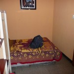
The inside of my tiny hotel room in at the Hotel Mary near the center of Huehuetenango. I had TV, private bath with hot water, and a hard bed, all for $10 US per night.
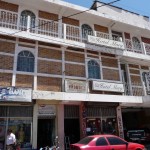
The outside of the Hotel Mary.
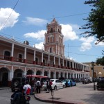
A pretty building by the historic town plaza.
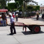
A unique site in the center of town. People transport things in many creative ways.
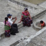
A Mayan woman sitting in the town square surrounded by jean-clad men.
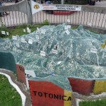
This relief map sits in the town square of Huehuetenango. I’m not sure how accurate it is, but it shows the area to he north of HueHuetenango. The signs mark little towns and villages. The town of Huehuetenango is at the bottom, just right of center.
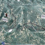
A closer view of the same relief map.
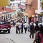
A typical view in the town of Huehuetenango. At the bottom of this hill, I took an old city bus to a small Mayan ruin about 4 kilometers away.
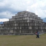
One of the larger temples in the ruins of Zaculeu, on the edge of the town of Huehuetenango.
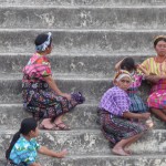
Several Mayan women in their beautiful colorful outfits sitting on the steps of one ruin.
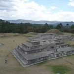
A birds-eye view of one part of the small ruin complex.
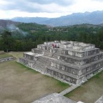
From the taller temple, looking at the next taller one.
These Mayan women were wearing brilliant beautiful colors.
A darling Mayan family. The women, of course, are wearing their beautiful dresses, while the man wears only dark slacks and a white shirt.
I was fascinated by these women’s huge bulky head scarves.
The Road To Xela
Thursday morning, about 7:30 a.m., I set off on a new adventure to the town of Quetzaltenango, nicknamed Xela (SHAY-luh) for short.
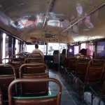
This is the inside of a rickety old schoolbus that I took from the city center to the bus terminal on the edge of Huehuetenango, over 4 kilometers away. This photo was taken before the bus filled up with passengers.
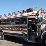
After being dropped off at the terminal, I was quite lost. With help from a few people, I finally found this bus that would take me to Xela. I climbed on and sat in the right front bench. If you look closely, you can barely see the glimmer of my red backpack on top of the roof rack, right behind the green bag.
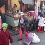
While sitting in my bus, I finally captured this shot of a man in some type of traditional outfit. Men dressed like this were scarce, but I have seen many of them over the past 36 hours.
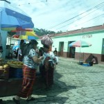
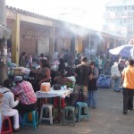
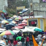
Note the market-like atmosphere of these people right in front of my bus.
Also taken while waiting in my seat on the bus, this shows a view of all the food and other vendors who were lined up in front of the large row of buses.
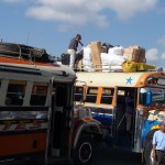
Two other buses chaotically parked right next to my bus. I was very impressed by the baggage being tied on top of the right one.
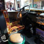
This is the driver’s seat of my bus. I’m not totally sure, but I believe that these drivers own their own buses. They are all decorated quite uniquely, and are decked out with shiny metal and fancy sound systems.
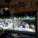
As we finally got underway, leaving the market area, we first had to skillfully back out of our parking space without hitting anything, Then our driver maneuvered down this narrow market street, waiting for pedestrians to scatter so we could get out onto the streets beyond.
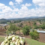
A view out my bus window. I just happened to capture this pile of watermelons in the foreground while catching a photo of the village in the background.
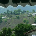
Looking out the front window at typical farm land in much of the high country.
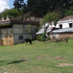
In one village through which we passed, I snapped a photo of this cow grazing in the front yard of someone’s humble home.
Some of the beautiful high country.
We passed by one village with this massive outdoor market running up this side street for quite some distance.
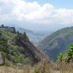
A view from above as we descend toward a larger town below.
The City of Xela
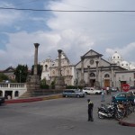
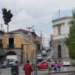
A view of a portion of the historic town square. The grey building at the back is where I encountered a very helpful German lady (visitor in the the information office) who gave me a recommendation for a Spanish school.
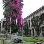
Inside the courtyard of some government buildings that are adjacent to the town square.
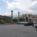
Yet another view of the town square.
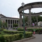
And another view in the square.
A very typical narrow street leading up a small hill near the center of town.
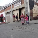
A young family walking across a street near my hostel.
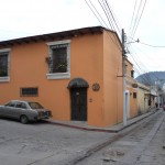
The outside of my little Hostel “Casa Dona Mercedes.”
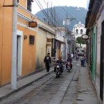
Looking down the narrow street adjacent to my hostel. The city center is two blocks straight ahead.
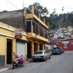
The two-story yellow building is the CBA Amerindia Spanish school where I start classes tomorrow (Monday).
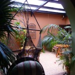
The beautiful indoor courtyard in my hostel.
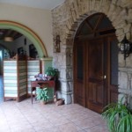
The beautiful arched wooden door to the right is the entrance to my large private bedroom. I am paying less than $11 per night here for a gorgeous room with television, wireless internet, and a shared bathroom (just down the hall).
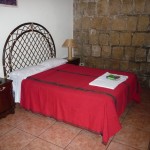
One view of my bedroom. Tonight will be my fourth night here. Tomorrow I will begin living with a local family while attending Spanish classes.
