As usual, I have taken many photos in my journey to, around, and through the beautiful Caribbean island of Caye Caulker–a beautiful little paradise a little over 15 miles off the shore of Belize.
Posted here is a small selection of some of the better photos. As usual, you can click on any image to get a larger, more detailed photo.
Goodbye Orange Walk
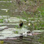
On my last day in Orange Walk, I walked down the the river at the edge of town. I captured a great photo of this little “Jesus Bird”–so named because it seems to walk on water. All of my other bird/crocodile photos mysteriously vanished during my last attempt to post photos.
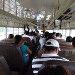
This was taken from my near-the-back seat on the second class bus as we pulled out of Orange Walk. At this point the bus was only about half full. Within 30 minutes, every bench had two people and the front half of the bus was standing room only.
Caye Caulker Water Taxi
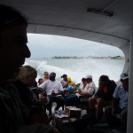
This photo was taken from inside the taxi, near the front looking back, as we zoom away from the shores of Belize.
After a while in our trip we passed this tiny island with not much more than a house and a tree. How interesting is that?
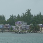
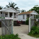
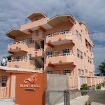
As we approached the dock on Caye Caulker, I snapped this photo of a small hotel at the southern end of the housing area. In a later walk along the shore, I accidentally rediscovered this little paradise and learned that the rooms are quite cheap — upstairs beachfront for only $45 BZ ($22.50 US) per night. They have a bed with bumpy springs, and a shower with hot water–all of the necessary luxuries.
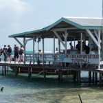
This is a picture of the water taxi station as taken from the shore by my Hostel. The people walking on the pier are heading out to catch the arriving boat.
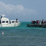
This is the water taxi itself, arriving at the pier to drop off and pick up passengers. The inside of this boat is identical to the scuba dive boat that I rode out to the Blue Hole.
Around Caye Caulker
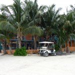
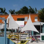
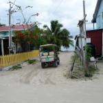
This is a side view of Tina’s Hostel, the place where I slept on the island. The palm trees are beautiful. Notice the golf cart parked on the side. These are the primary motorized transportation around the island. If you don’t have one of these, you either ride a bicycle or walk.
The orange building is the back side of the Hostel. My room is upstairs, right above the white umbrellas of the small next-door restaurant–the room with the large wide window.
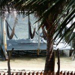
This beautiful photo is taken from the balcony in front of my room, looking down at the shoreline only 20 feet away. The covered wooden platform with the hammocks has been a favorite spot for me to write, listen to my IPOD, and to simply be.
This photo is taken from shore on the eastern side of the island. Looking about a mile out into the ocean you can see the heavy surf crashing down at the edge of the distant barrier reef.
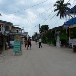
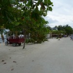
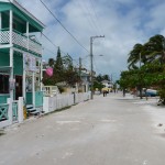
This is simply a photo looking down one of the three north-south streets that run between the eastern and western shores of the island.
Standing slightly on the west side of town, looking toward the shore on the west edge of the island. If I were to turn around, the ocean on the east side would only be two blocks away. These buildings are very typical architecture on the island.
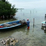
A lobster fisherman removing lobster cages from his small boat.
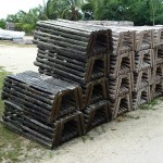
A nearby stack of the same lobster cages. The fisherman was stacking the ones from his boat here on the left side. The six on the left end are still wet after having been removed from the boat.
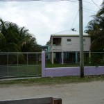
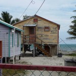
Homes such as this, standing tall on stilts, are quite common around the inhabited part of the island. Since the highest altitude on the island is eight feet above sea level, the island can be completely innundated with water during a major hurricane storm surge.
More typical homes in the area.
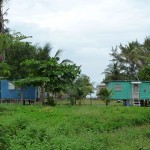
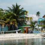
These beautiful, but modest, homes are right up against the western shore of the island, slightly south of the more crowded part of town.
Near the north end, on the eastern shore, looking back to the south. Straight ahead is the eastern most of three north-south streets. If you follow the beach path (not very visible), my hostel is about 1/4 mile along the shoreline.
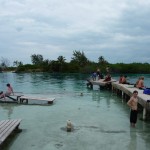
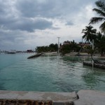
This area where people are swimming is called the “”Split”. This channel separates the island into two pieces. The northern half continues on and bends off to the left (you can see the left piece in the distance). This northern half appears to be uninhabited.
This narrow channel was carved out by Hurricane Hattie in 1961. Before that major storm, the island was completely intact.
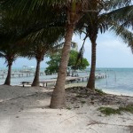
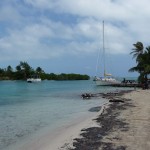
A view as seen from the pier at the Split, looking southbound along the eastern shore.
One of several higher-class tourist accomodations on the small island.
More typical housing directly along the eastern shore.
Blue Hole Dive Trip
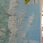
This is a photo of a large map. Belize is on the left, with the caribbean and its islands on the right. To really see this map you will need to click on it and download a larger, more detailed image. Then you will probably need to use your photo viewer to zoom in.
On the mainland, there are two little spots that stick out to the right. The upper one (about 1/3 of the way down the map) is Belize City. If you look diagonally to the upper right, you will see a yellow-green map inset. About half-way between Belilze City and this inset, you will see a box drawn around a small island–a box that looks like an odd “seven” shape. This box surrounds the small island of Caye Caulker.
If you follow a line straight out to the right from Belize City and slightly downward, you will first pass through Turneffe Atol–a large area of small islands (Cayes) and reefs. If you keep going further to the slightly-lower right, you will see a large white-outlined area labeled Lighthouse Reef. Right in the middle of this area is a blue dot and the words “Blue Hole Natural Monument”. This spot, about sixty miles from Belize City (and from Caye Caulker too) is the place where I first dived on Saturday.
At the bottom of the same outlined blob of white you will see two other Cayes labeled Half Moon Caye and Long Caye. These are where we did our second and third dives of the day before resuming our sixty mile boat ride back to Caye Caulker.
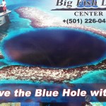
This is a poster at the dive shop. As you can see it has been photo-shop edited quite a bit, but it gives you the idea of what the Blue Hole looks like from above. The scuba boat on the left is way out of proportion. The Blue Hole is about 1000 feet wide and over 400 feet deep.
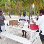
The only photos I took on the dive trip were during our shore stop on Long Caye. This is our crew preparing us a delicious lunch of rice, beans, cole slaw, and chicken. The man on the left in the blue stripped shirt was my dive master on all three dives.
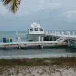
This is our dive boat docked at a small pier on Long Caye.
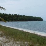
Looking left along the shoreline, standing near the picnic area on Long Caye.
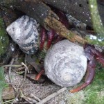
After lunch we went for a walk through the small nature preserve and bird refuge here on Long Caye. These large hermit crabs were crawling all over the jungle area. This large one is a just tiny bit smaller than my fist.
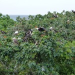
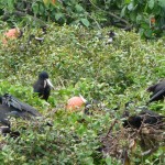
After climbing a small eight-person-capacity lookout tower in the middle of the thick jungle–we ended up above the tree canopy, and had an incredible view of some very interesting birds–hundreds and even thousands of birds.
These large black birds were very interesting. They had beautiful orange-red throats, and inflated them in the hot sun.
This is a close-up of one of these beautiful large birds.
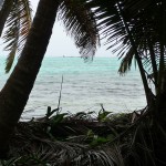
An ocean view from inside the thick jungle on Long Caye.
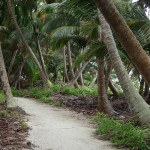
The beautiful palm-lined path heading into the bird refuge area.
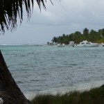
Looking from the edge of the jungle back toward our dive boat.
Bicycle Ride around the Island
Sunday morning I enjoyed a delightful ride around the island. These photos are from that two hour ride.
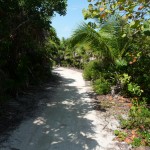
This is a small path along the shores of the southeastern portion of the island. At the end of this path, I bumped into a new friend from Tuscon, AZ–a woman I met on the Jungle River Cruise in Orange Walk.
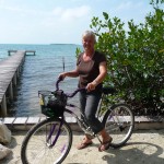
Me on my rental bicycle along the southeasten shore. My friend Gretchin, from the Jungle River Tour took this photo for me.
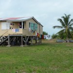
More interesting homes on stilts. These are close to the airport on the south end of the island.
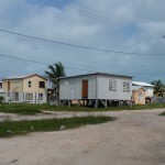
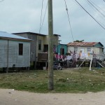
Some of the more humble housing on the edge of town.
A beautiful typical home right by the shoreline.
More scenery near my Hostel.
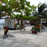
This is the main office of Raggamuffin Tours — the outfit that runs the three-day, two-night sailboat tour that I am taking starting tomorrow morning. I can’t wait to see what this adventure brings.
More of the beautiful streets around Caye Caulker.
Another view of the “Split”–a small channel that divides the island into two pieces.
Some beautiful housing near my hostel.
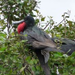
Those big black birds are Frigate birds. They soar on the thermals and can’t go in the water because they drown if they get wet. They are beautiful to watch, but are known to raid the nests of other birds and murder their babies. Of course they are just trying to make a living, so I shouldn’t judge.
Glad you are enjoying your adventure….
CMcC
Hey Carol, thanks for the information on the Frigate birds. Those are really interesting facts. It was fun to see you briefly while I was in Cozumel.
-Brenda