I have another group of photos to share. Most of these are from my return pilgrimage to Ek Balam–the bicycle journey I took last Tuesday to go back and explore the areas I grew to love in the five-day indigineous festival this past November.
As usual, clicking on any photo will display a high resolutions photo with more details.
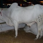
This is one of the many beautiful bulls that were on display at the expo last week.
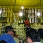
At the Expo, many vendors were set up with huge displays of kitchen items, clothing, sunglasses, crafts, etc…. On the final two days of the Expo, many of these vendors began to auction off their unsold merchandise. Each of them set up loudspeakers in their booth, cranked the volume up to full blast, and began a shouting match that nearly blew out my ear drums. In this photo, one of the vendors up front is yelling into his microphone.
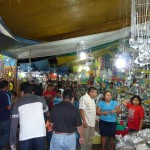
Another photo from the vendor area of the Expo.
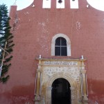
This is the exterior of the church in the town of Temozon, a town of 14,000, most of which are Mayan, that is situated between Valladolid and Ek Balam.
I stopped briefly to look inside while riding my bicycle to Ek Balam on Tuesday.
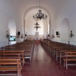
This is the interior of the beautiful old chapel. After a brief stop here, I resumed my bicycle trek.
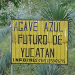
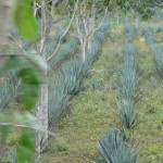
I passed this agricultural field of “Blue Agave”. The Agave is a member of the Yucca family. In addition to many other uses, the Agave cactus is used as a base ingredient for making Tequila.
Another photo of the Aguave field.
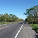
This is what the highway was like for the middle portion of the bicycle journey. This two lane highway begins just after crossing over the east-west toll road that runs between Merida and Cancun. After 20 kilometers, I came to the sign for the Ek Balam turnoff.
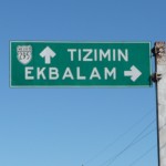
The turnoff marker where I left the main highway. If I continued straight I would have eventually reached the northern edge of the Yucatan (about in the middle) at a town called Rio Lagartos.
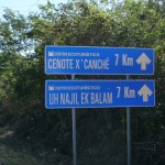
This little sign is one of the first along the side road after leaving the main highway, telling me that I had another seven kilometers to go …
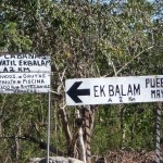
Here you can see the contrast between quality of signs. After following the side road for five kilometers, these signs mark the turnoff to head toward the small Mayan village. My first stop took me to this village.
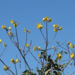
This is the top of a beautiful flowering tree that stood beside the small narrow road.
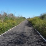
This is the narrow paved road leading on to the village. I love the yellow wildflowers that lined the side of the road.
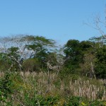
Some of the scenery along this narrow road is quite beautiful.
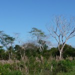
I especially love this photo–the way these trees dance with the skyline.
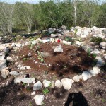
My first stop was at Kaxan Xuul, at the firepit atop the ancient earth-covered pyramid where the fire ceremonies took place. This is the last place where I saw my baby Ceiba tree. It was nowhere to be found.
This is a photo of the unexcavated pyramid at Kaxan Xuul from a slight distance. Notice my bicycle in the bottom right.
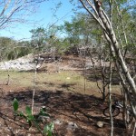
I scoured this entire area looking for my baby tree–still nowhere to be found.
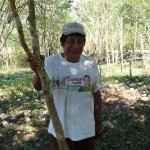
As I was about to search in other places, I found this beautiful Mayan man, who after a short conversation, led me right to my sacred tree.
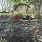
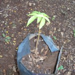
This home made shelf, adjacent to a small hut near the entrance to Kaxan Xuul, proved to be the home of my tree. The baby Ceiba is in the larger of the three black plastic pots.
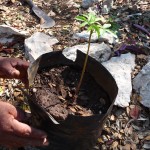
The Mayan groundskeeper placing the tree on the ground in front of me, giving me the opportunity to reconnect with the baby tree.
Another photo of the baby tree. It is very healthy, and about one foot tall.
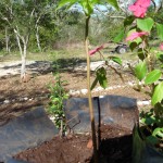
Yet another photo of the tree. This one while it is up on the shelf, next to one of the flowering plants that keep it company.
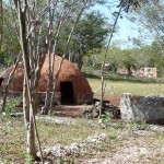
A photo of the Temazcal structure and the open field behind it. I was about to search this area before I found the groundskeeper.
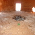
A photo taken inside the Temazcal structure. The hole filled with rocks in the middle is where the hot rocks are placed. I wonder if this Temazcal has been used since I sat in this sweat lodge on Nov 18, 2009. I sat in about the exact same spot from where I am taking this photo–except the doors were all covered and it was dark inside.
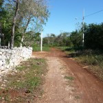
A photo of the beginning of the dirt road that leads into the jungle–the path that leads to Kaxan Xuul perhaps a kilometer away.
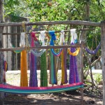
This is in front of one of the small homes in the Mayan pueblo of Ek Balam. The horizontal yarn in the front is the beginnings of a new hammock stretched out between two vertical poles. The other hanging colors are completed hammocks, perhaps waiting to be sold.
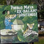
This homemade little sign is right at the edge of town, where the one-lane highway meets up with the town park. It reads “Mayan Pueblo of Ek Balam, Visit us!”
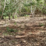
After leaving the Mayan Village, my next stop was the Cenote XCanche adjacent to the ruins of Ek Balam. This photo is the very same jungle clearing (100 yards from the Cenote) where I was bitten by the tick–the same clearing where I received my third degree burn after the tick bite.
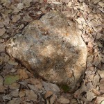
This rock is the exact same rock on which I sat when Delfino burned my foot by holding hot charcoal above the back of my tick. It is also the exact same rock on which I was sitting when the the Olmec Shaman “Jose Manuel” spoke those powerful words to me: “Brenda, there is a big difference between pain and suffering.”
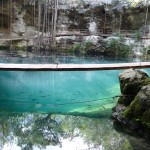
Finally swimming in the Cenote at last. This is the spot where I entered the water. After swimming under the bridge and through the fish, I swam to the middle where I rested on the large rope that you can see barely entering the water from side to side, about half way across. I had the entire Cenote all to myself, with glassy smooth water and amazing silence.
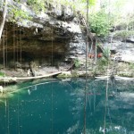
A view from the other side of the Cenote. The place where I entered the water is below the bridge on the left side of the photo (where the two people are now standing). Notice how steep the entrance staircase climbs up the side.
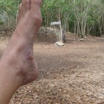
Showing off my almost-healed foot at the scene of the crime. This photo was taken after having gone swimming in the Cenote. The jungle clearing where I was burned was about 75 yards straight ahead, just over the other side of the small hill. This hill looks as if it could be a part of an old unexcavated ruin.
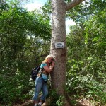
This is the medium-sized sacred Ceiba tree that I was hugging just before the Entrance to Ek Balam as I returned to the ruins for the first time in 12 weeks.
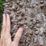
This photo of my hand on the trunk highlights the size and density of the thick thorns that cover the trunk and branches of this sacred tree.
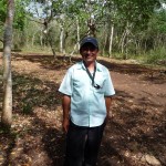
This is Aurelio, the Mayan tour guide that I hired to guide me through the ruins on this, my return visit.
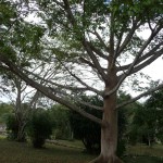
Another larger Ceiba trees in towering in the southeastern area of the Ek Balam ruins.
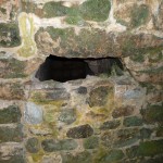
I saw this hole in the wall on my first visit in November. However I had no idea what it was. If you look closely, you can see that the bottom of the hole used to be a wide opening that has since been filled in by archeologists to keep visiters from entering. The next photo will show why …
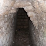
My tour guide, Aurelio, asked me to stick my camera in the hole and take a photo with my flash. This photo is the result. As you can see this is a passageway, and at the rear of the passageway is a set of stairs inside of the pyramid.
Aurelio tells me that he has been inside the pyramid through some similar passageways–passageways that run throughout the interior. This structure is filled with many internal rooms in which artifacts were found.
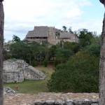
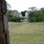
This photo was taken from the first spot where I meditated in silence for thirty minutes. I was sitting inside a shaded area at the top of a smaller pyramid, looking through this rock opening. In the distance, due north, is the larger Acropolis ruins. It is in these Acropolis ruins that the passages from the previous photos run around inside the interior. In these same Acropolis ruins were found the tomb of a Mayan king.
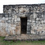
This is another place where I meditated briefly. This structure sits on the east side of the main ruins. When looking from this entryway toward the west, this entry lines up with other ruins on the east, ruins which exactly line up with the sun during the spring and autumn equinoxes.
This photo is taken from the entryway of this same building, looking toward the west. The gap between the two pyramids straight ahead is the line where the sun lines up on the equinoxes.
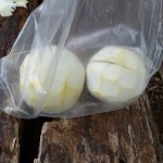
This is the remains of my lunch at the ruins. I chose to eat lightly. I bought this bag of six already-peeled oranges in the parking lot before entering the ruins. I ate the final two oranges right after snapping the photo.
Such bags of peeled oranges are common items for sale around the Yucatan.
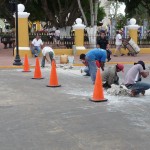
The day after I returned from Ek Balam, I captured this site in the street by the new city park. I was amazed at how this crew of hard working men were manually chiseling through the concrete road base.
